
| Report Type | Full |
| Peak(s) |
Mt. Massive - 14,427 feet Mt. Oklahoma - 13,843 feet "South South Massive" - 13,637 feet |
| Date Posted | 10/26/2026 |
| Modified | 10/28/2026 |
| Date Climbed | 10/10/2026 |
| Author | CaptainSuburbia |
| A Massive Triple Play |
|---|
|
A Massive Triple Play 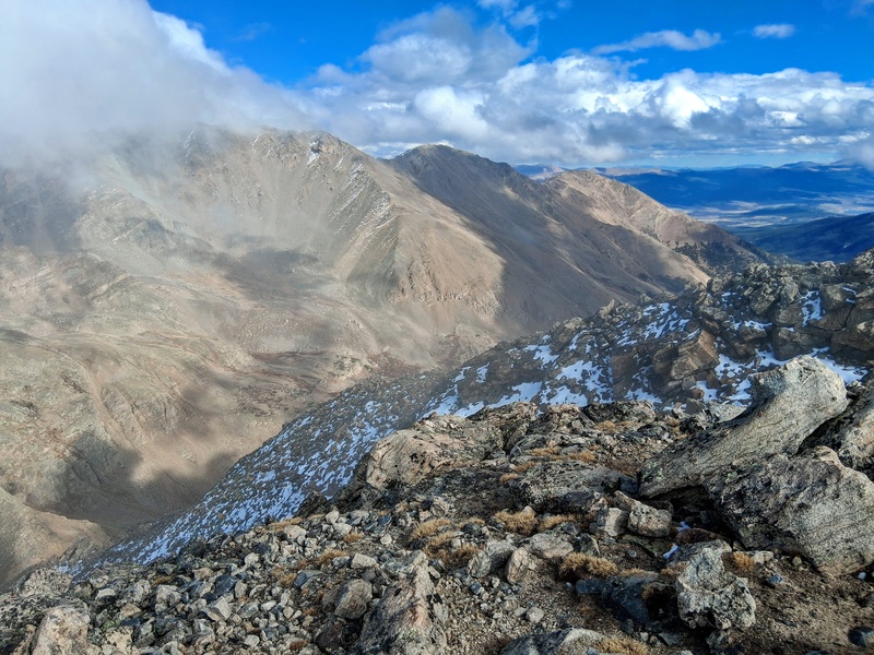
This was a redemption hike from last fall. I had attempted a Massive to Oklahoma combo less than 6 months after my hip replacement surgeries. In hindsight, this may have been too ambitious and too early. Initially, I had managed Massive just fine. I then started up Oklahoma and turned near tree-line because of hip discomfort that was quickly escalating. It was disappointing, but they just needed more healing time. Now, after a full winter and summer of climbing, I was more than ready to finish what I had started a year ago. I added South South Massive, a 13er on the southeast flank of Massive, to the agenda after being reminded of it by a recent condition report. Originally, my intent was to do this trio from the Mt Massive Trailhead. I had heard it might finally be open after the Willow fire had forced it's closure earlier in the year, but upon arrival it was still closed and looked no where near opening. So, I then proceeded down the 4x4 road to the North Halfmoon Creek Trailhead. At 6 am, I was surprisingly the only vehicle parked in the wooded lot. Day of Climb: Saturday, October 10, 2026. Trailhead: North Halfmoon Creek. Peaks: Mt Massive, Mt Oklahoma, South South Massive. Mileage and Elevation Gain: 15.30 miles and 8,042 feet of gain. Duration of Climb: 10 hours and 15 minutes. 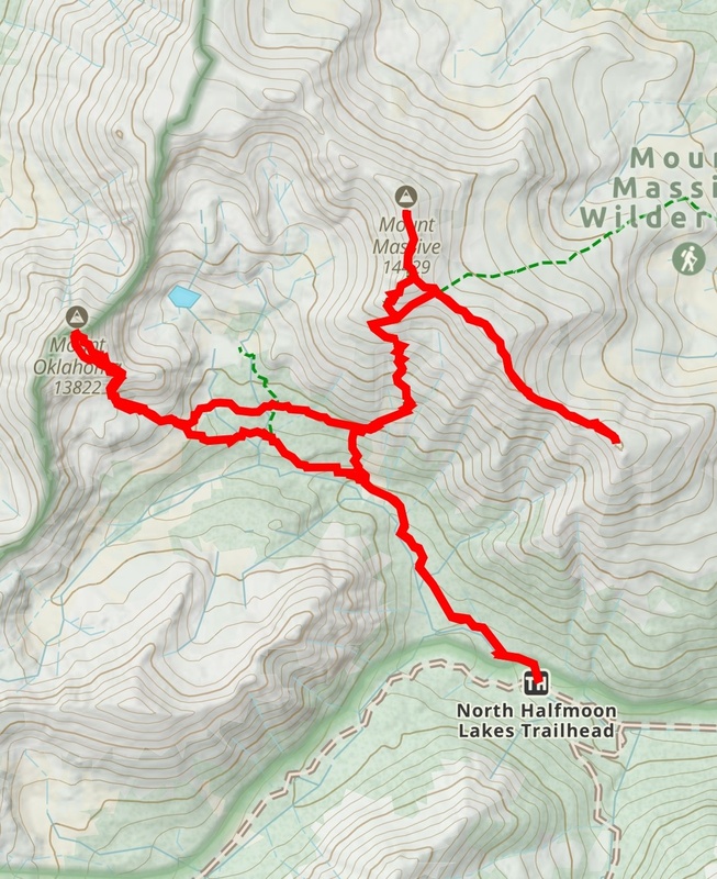
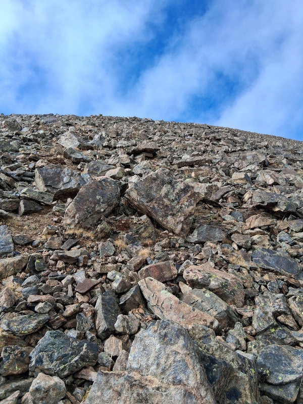
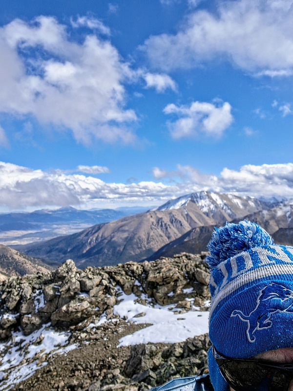
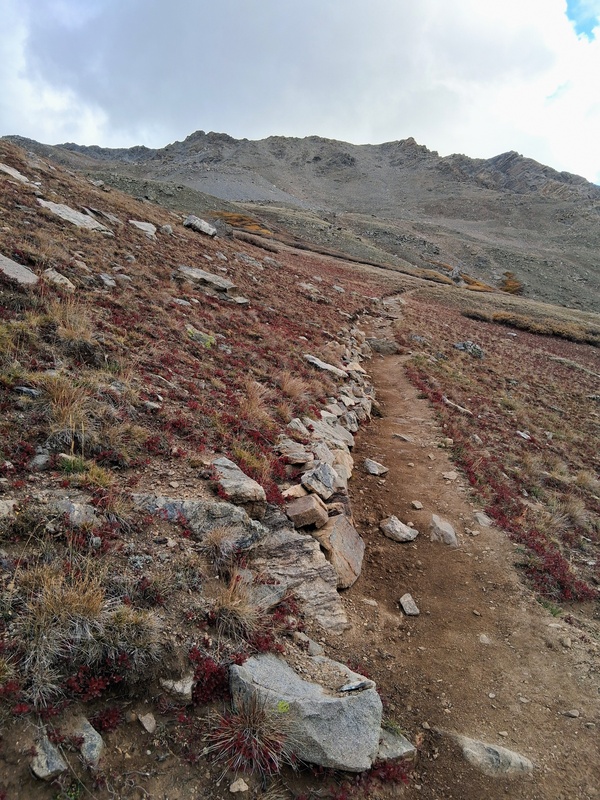
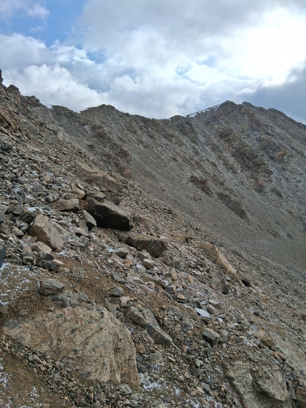
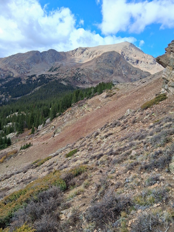
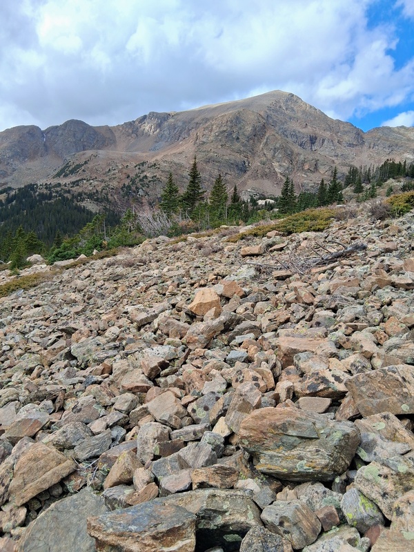
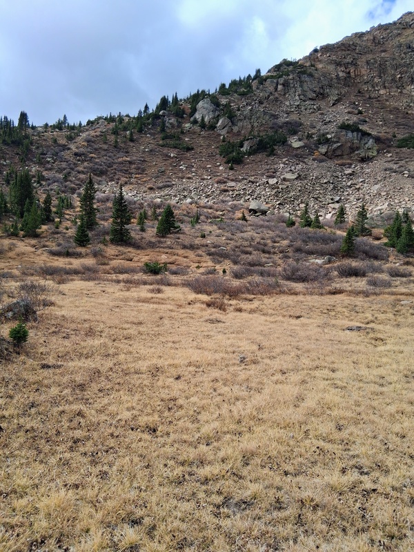
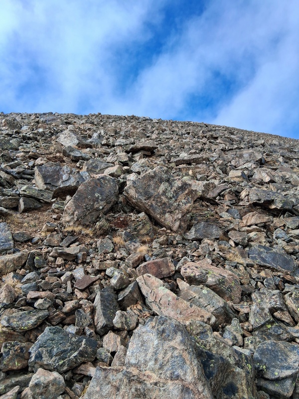
After parking, I finished my breakfast (which I had started during the 3.5 hour drive) and then slowly geared up for the climb. Being the shoulder season it was hard to decide exactly what would be needed. The prediction of snow showers and the on and off drizzle throughout the early morning drive complicated the decision. I errored on the side of more wintry stuff which I regretted later (as I usually do). I left my truck at 6:48 and headed up the Southwest Slopes of Massive. I knew this route well having done it just last fall for Massive and the lower section of it a few years back for K-49. I immediately passed two climbers who were attempting Oklahoma. One was a fellow Lions fan. I hope they made it. I didn't see another climber until much later in the day. I cruised up the beginning forested section and crossed the clearing to the trail spilt. I removed a layer here as I was already heating up, and then started up the Southwest Slopes of Massive. It's a very steep route but overall an excellent trail and a speedy way to get Massive. At 13,700 feet I left the trail just short of the ridge and sidehilled under a cliff band towards the Massive-South Massive saddle. This section was mostly talus, but it went well and I quickly reached the saddle and started the short climb up unranked 14er South Massive. 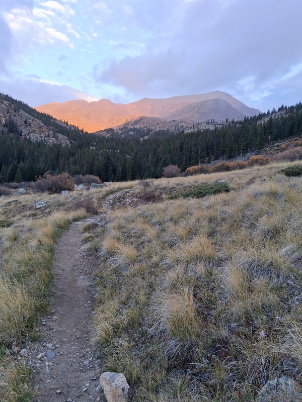
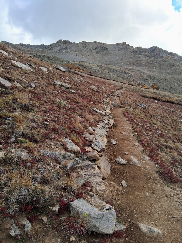
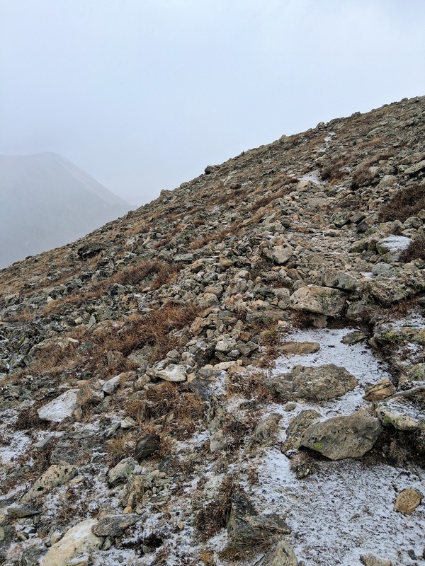
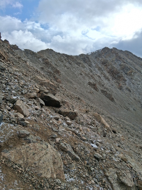
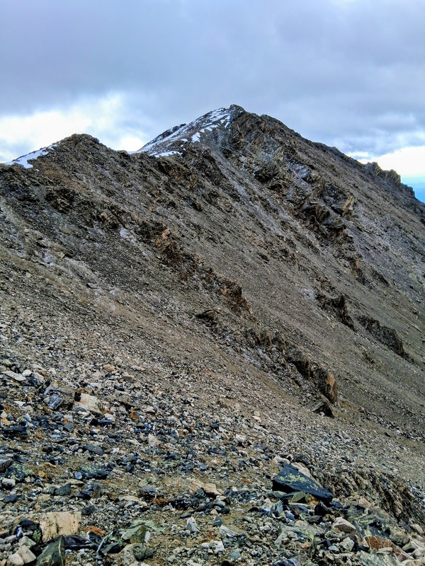
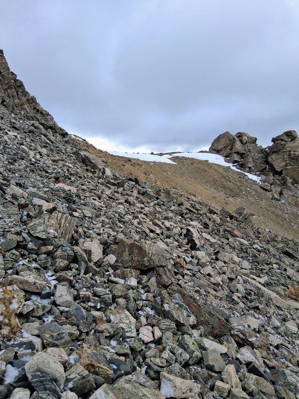
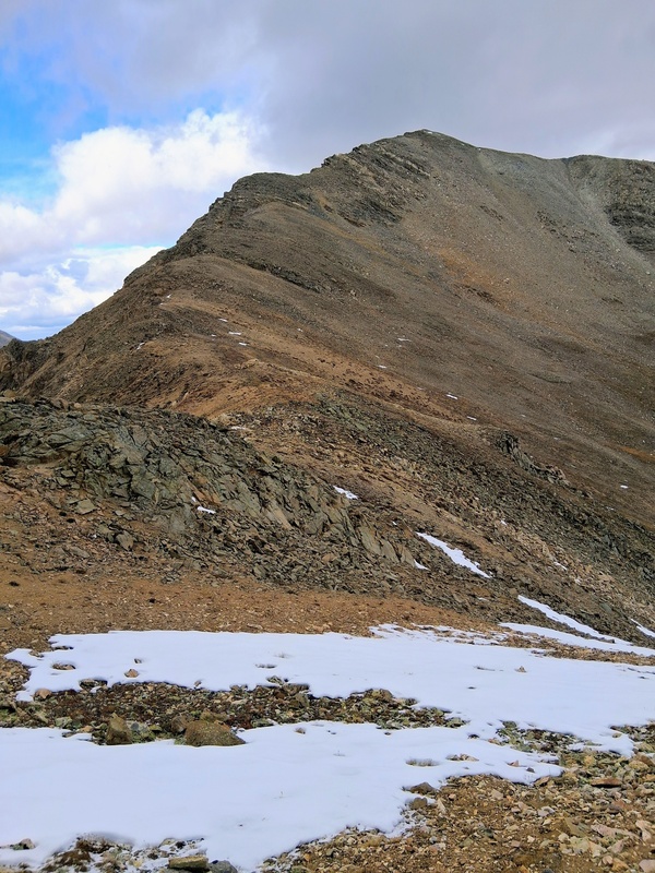
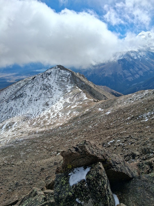
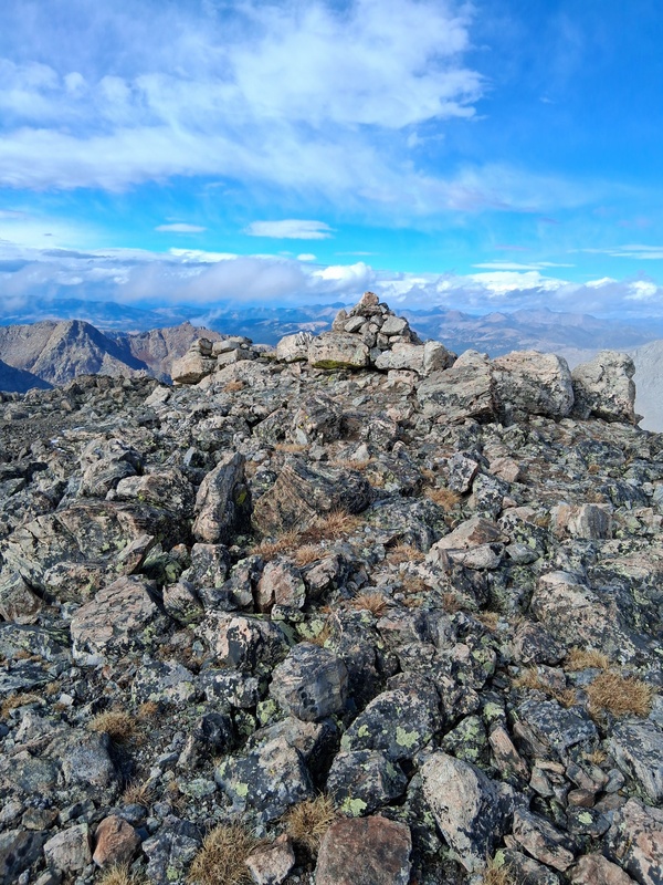
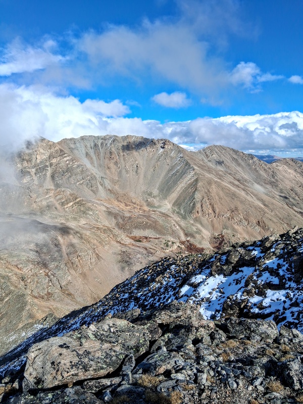
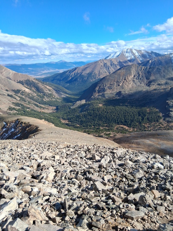
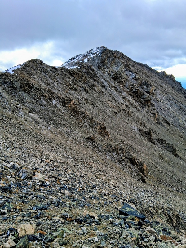
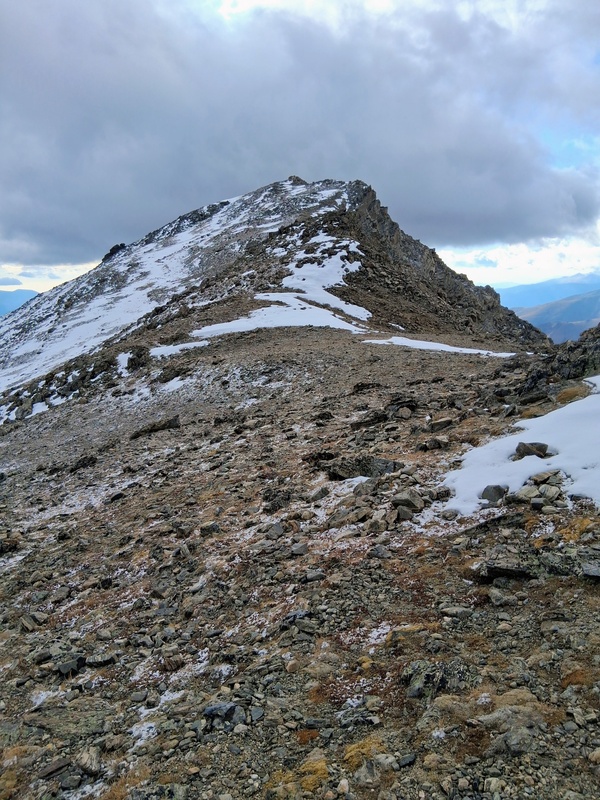
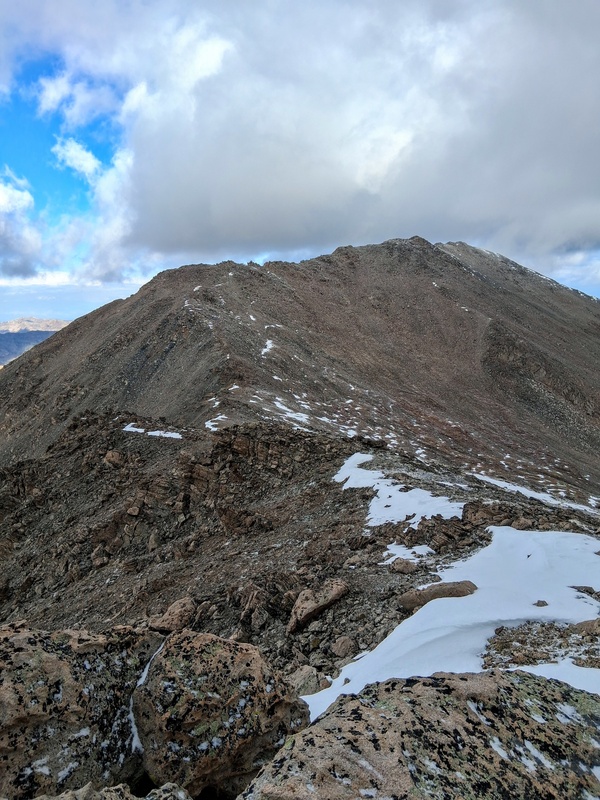
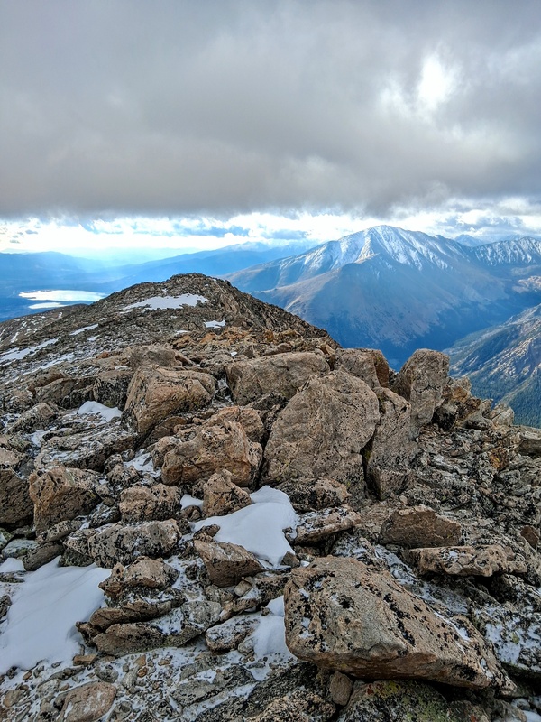
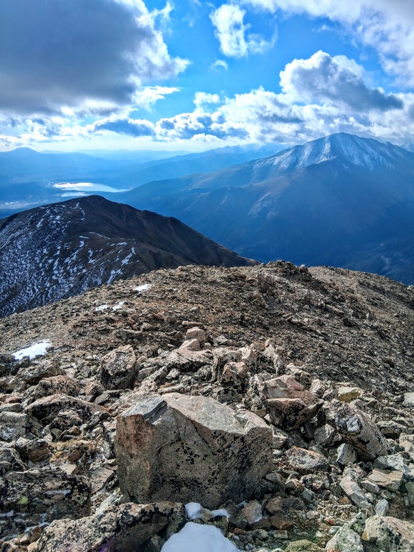
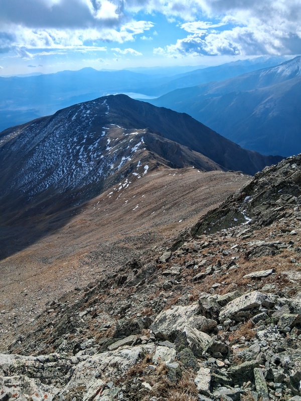
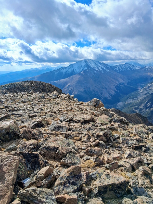
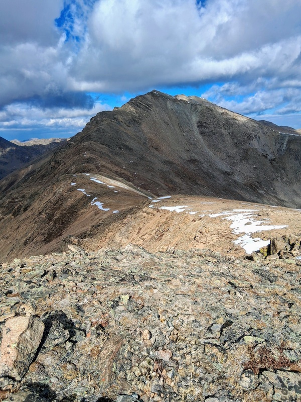
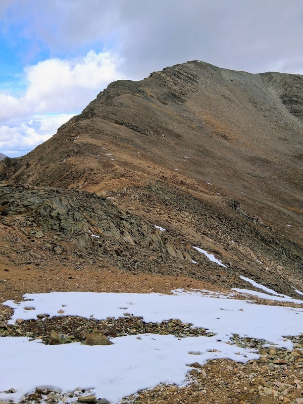
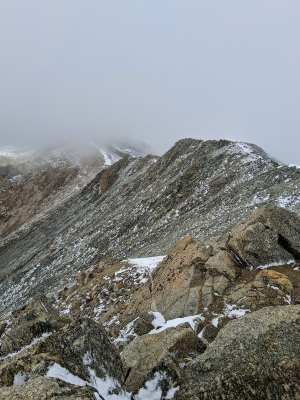
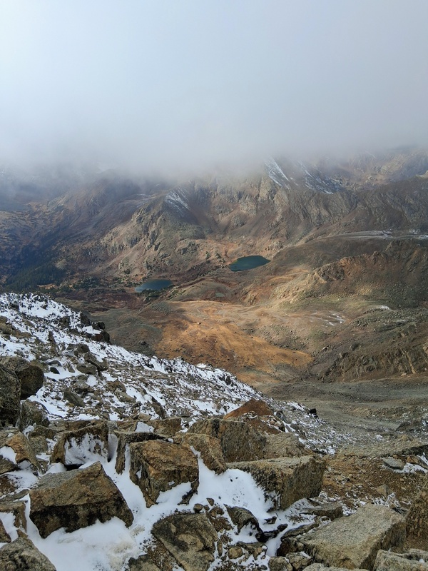
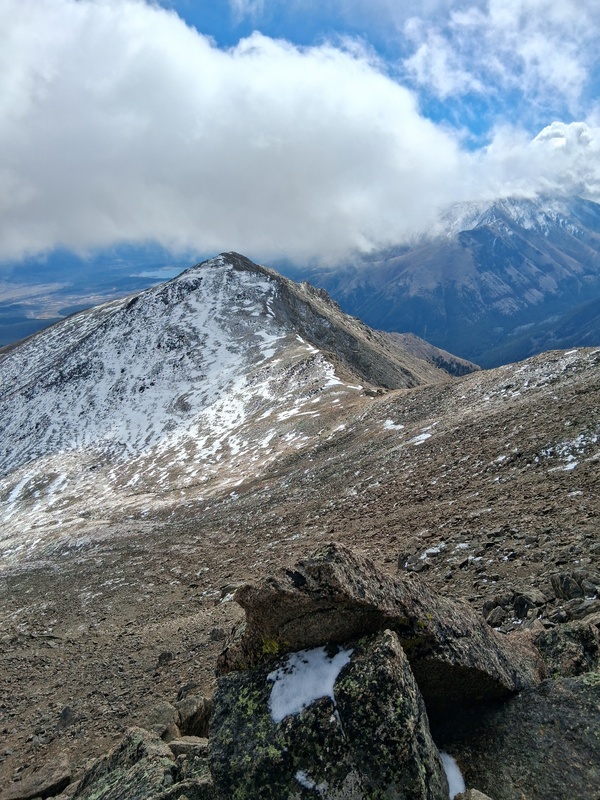
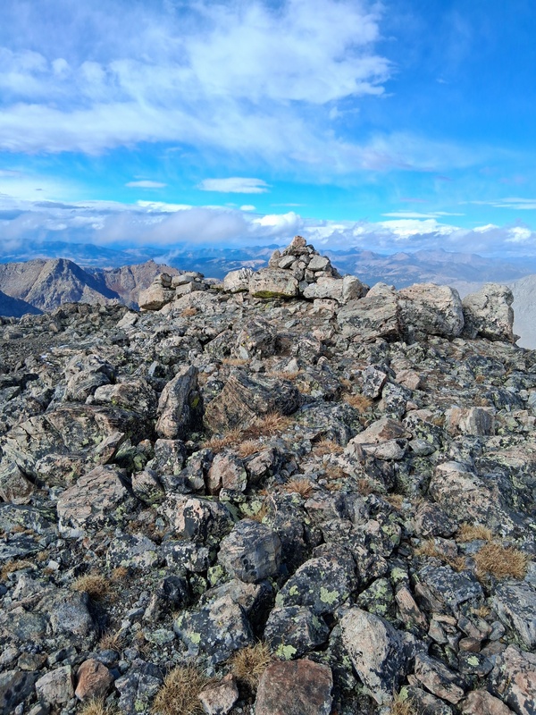
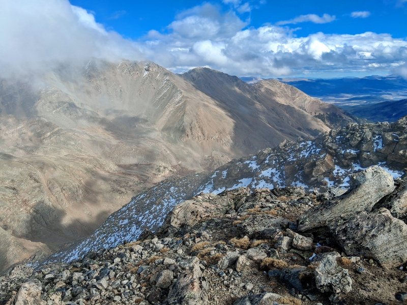
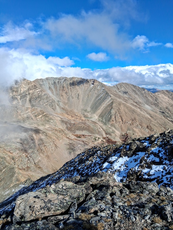
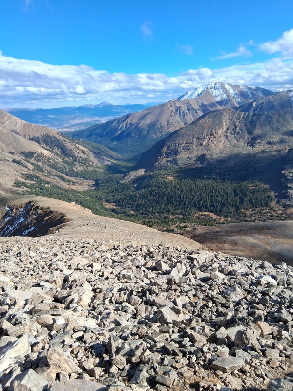
The climb to South Massive was a short jaunt on class 2 terrain. The vertical raise from the saddle was only about 200 feet. The summit gave a nice view over to a lightly snow covered Mt Elbert and 13er South South Massive loomed large down Massives Southeast ridge. I pressed on after taking a few photos and dropped off the summit towards South South Massive. The rugged ridge abruptly drops approximately 700 feet to the South Massive-South South Massive saddle. It felt strange climbing to 14,000 feet and than immediately losing all that vertical only to climb a 13er. Despite the ruggedness look of the ridge it was all class 2 down to the saddle, and more of the same on the short climb from there to the summit of South South Massive. This was a nice 13er and definitely a worthy side excursion when climbing Massive. The view of Elbert was impressive and looking back up at Massive made me question why I came all the way down here just to climb back up. 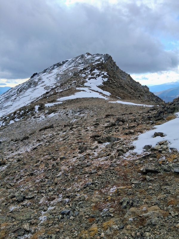
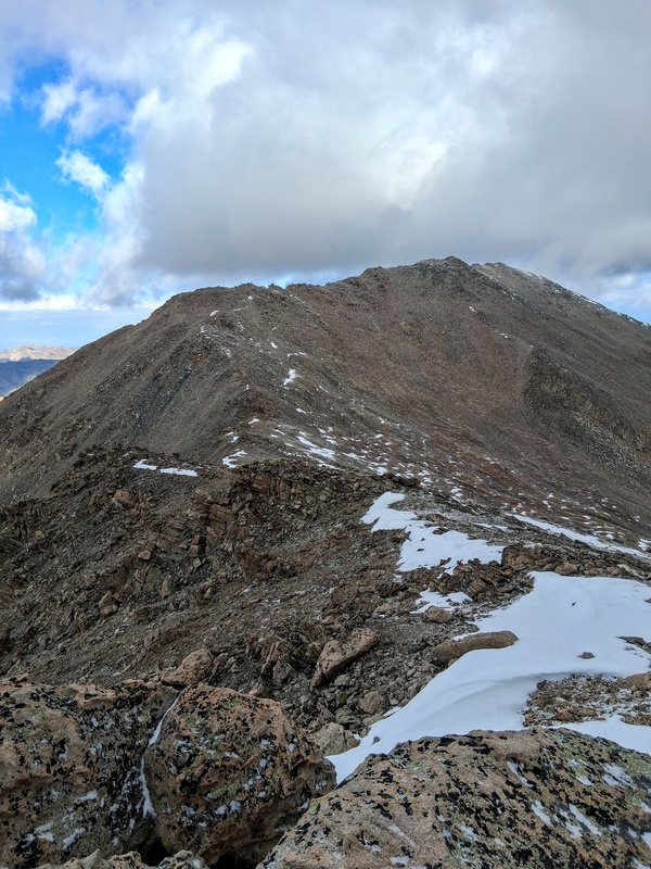
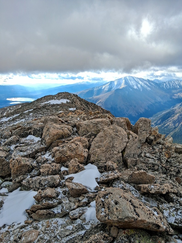
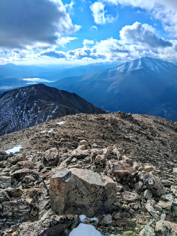
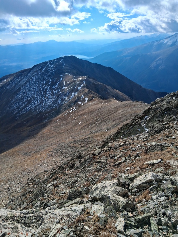
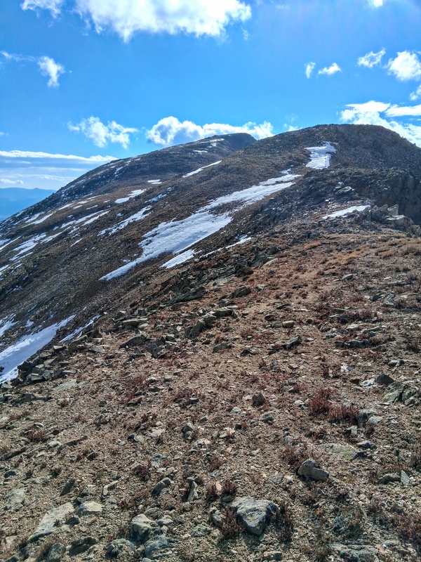
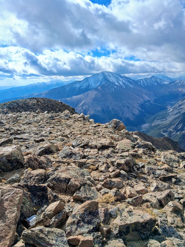
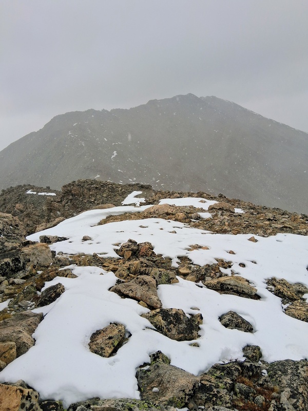
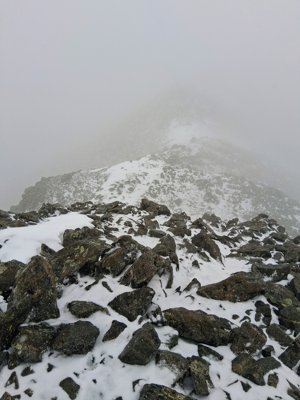
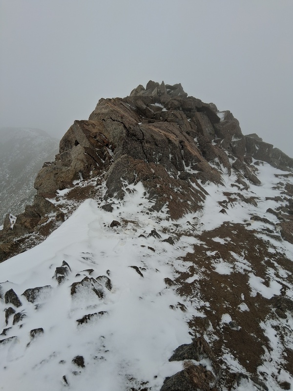
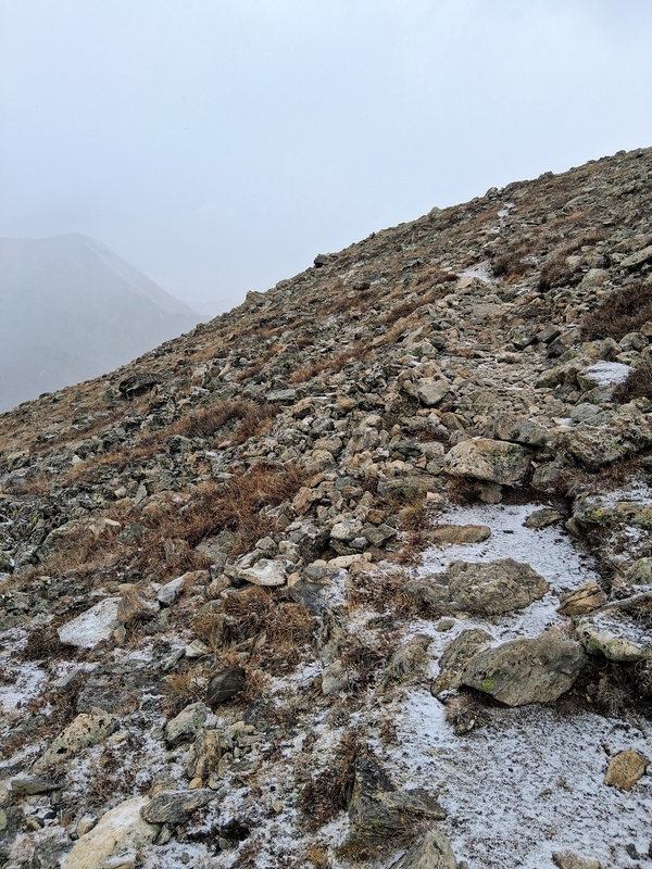
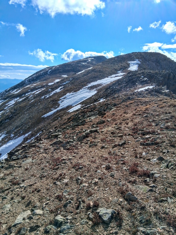
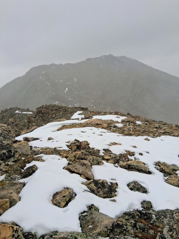
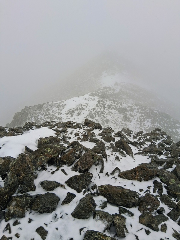
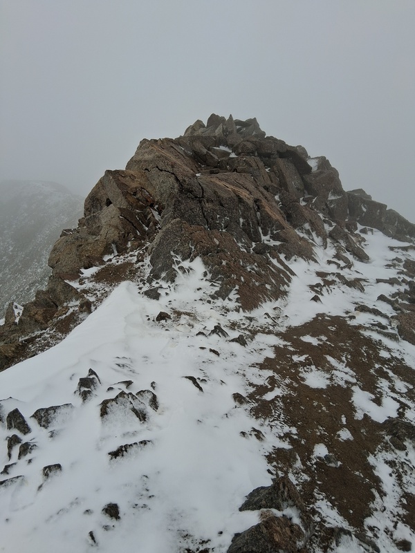
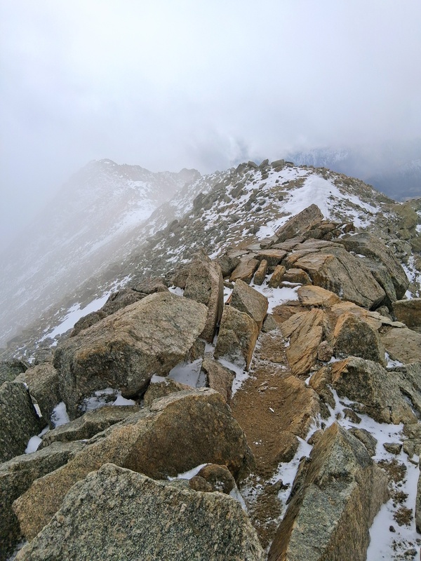
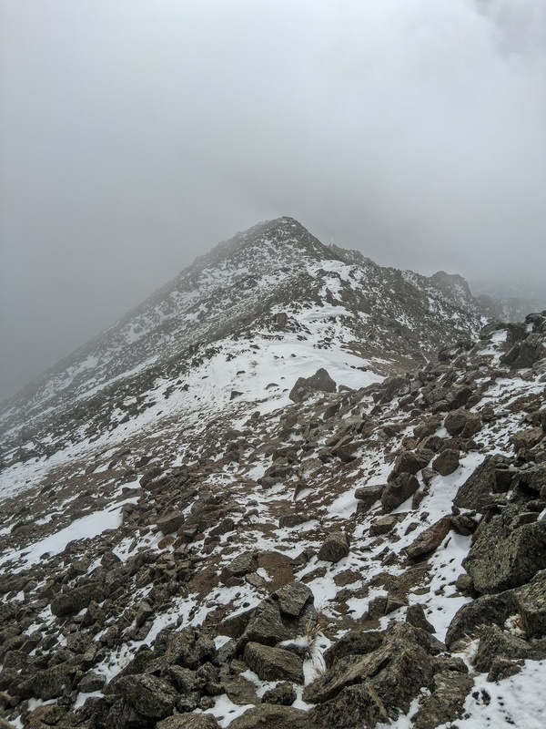
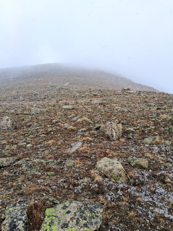
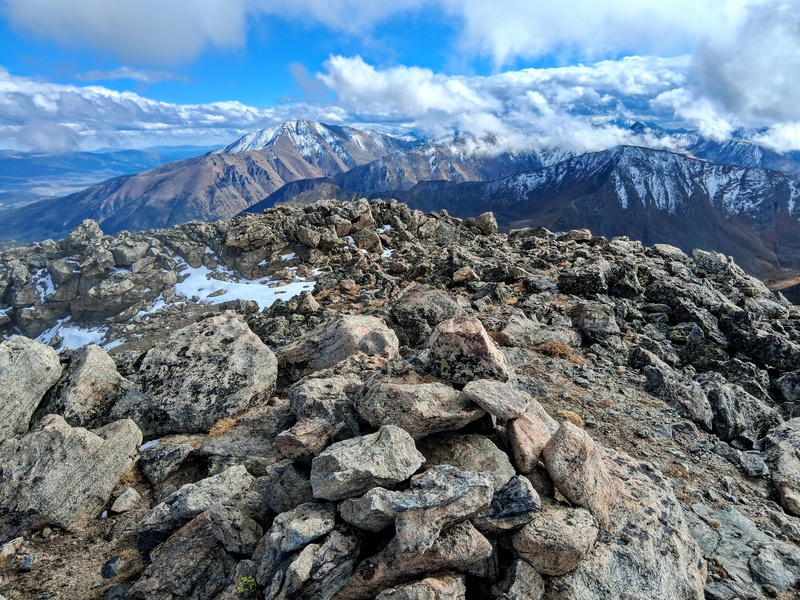
I enjoyed the climb to South South Massive and getting a new 13er. I took a quick drink break on the summit, shedded another layer, as the temperature was quickly warming, and started the long climb back towards South Massive so I could continue to Mt Massive. It was a steep climb from the saddle back to South Massive over familiar terrain. The weather quickly began to deteriorate though into whiteout conditions as I arrived back at South Massive. I knew there was a chance of some quick moving snow showers and I hoped that this was all it was. A quick look at the radar on my phone confirmed this, so I continued into the abyss towards Mt Massive. The snow was very wet and accumulating quickly, but it didn't really hinder travel much and I was able to summit Massive. Surprisingly, I did pass a few folks who were descending. Following their footsteps had been a big help in the whiteout conditions. Luckily, once on the summit, the skies did begin to clear a bit and I snapped a few photos before starting my descent. I still needed to climb Oklahoma and hoped the weather continued to improve as I descended Mt Massives steep Southwest Slopes. 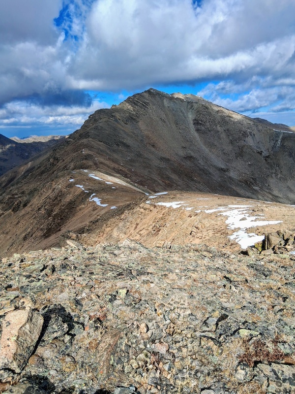
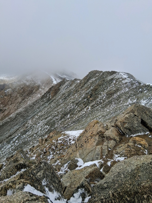
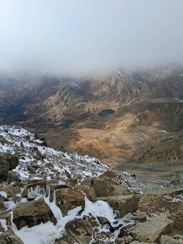
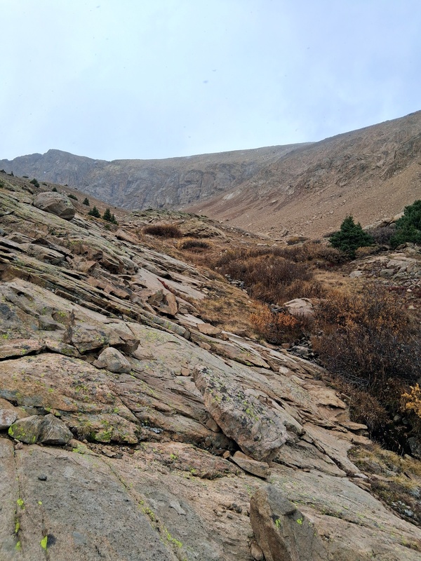
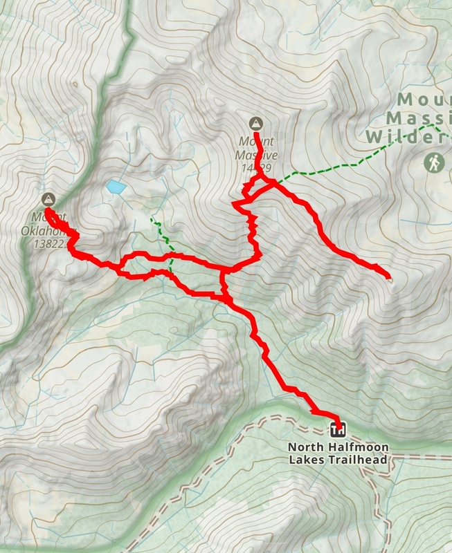
The descent off Massive went well despite the wintry weather. It was a bit slippery but not enough to warrant microspikes. As expected though, the skies did start to clear as I approached the turn-off for the Southwest Slopes route. I saw a couple groups still heading up towards Mt Massives summit here and continued on down in the improving weather. Scanning the skies though, I could tell mother nature wasn't done for the day, so I hurried my pace off Massive. The descent down the Southwest Slopes route went quick. Any snow that had landed here was already melted and the ground was almost dry. At around the 11,900 foot contour line I left the trail and headed west towards 13er Mt Oklahoma. Cutting across here saves from losing about 700 feet of elevation, and I also thought it would be a nice adventure. I pretty much stayed almost exactly on the 11,900 foot contour line and took it all the way to the base of Oklahoma. It went well through sparse vegetation, except for a couple short willow bashes. As I neared Oklahoma, I crossed North Halfmoon Creek and ascended a short gully where I joined the Southeast Slopes route for Mt Oklahoma at about 12,100 feet elevation. 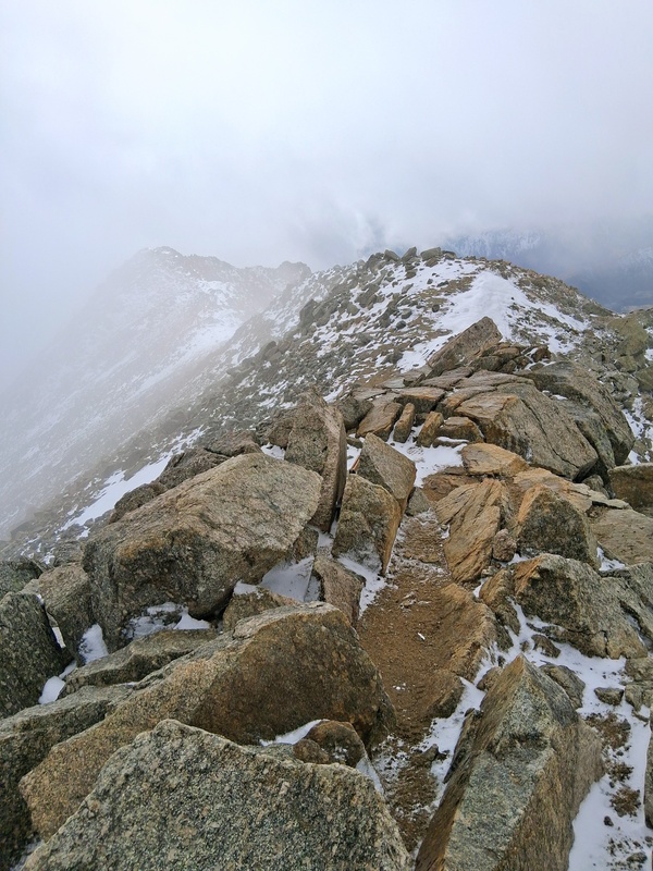
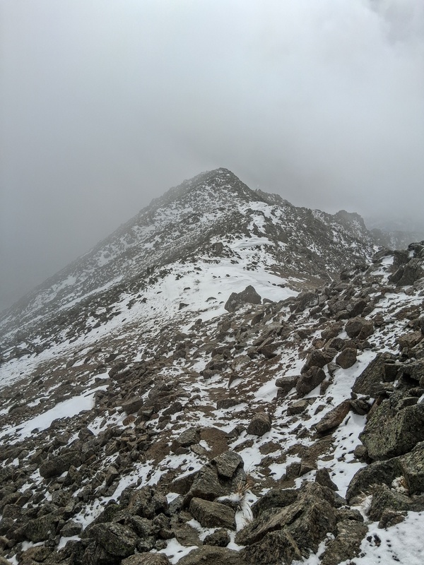
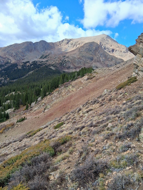
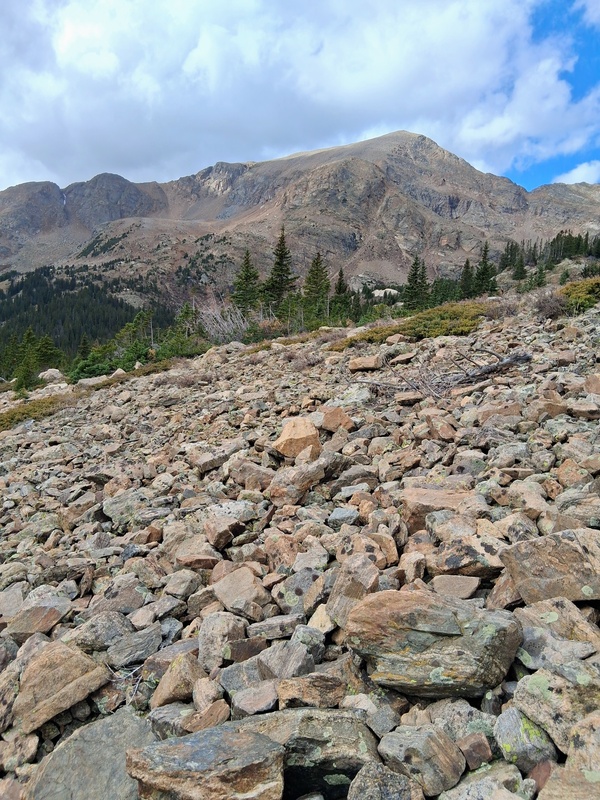
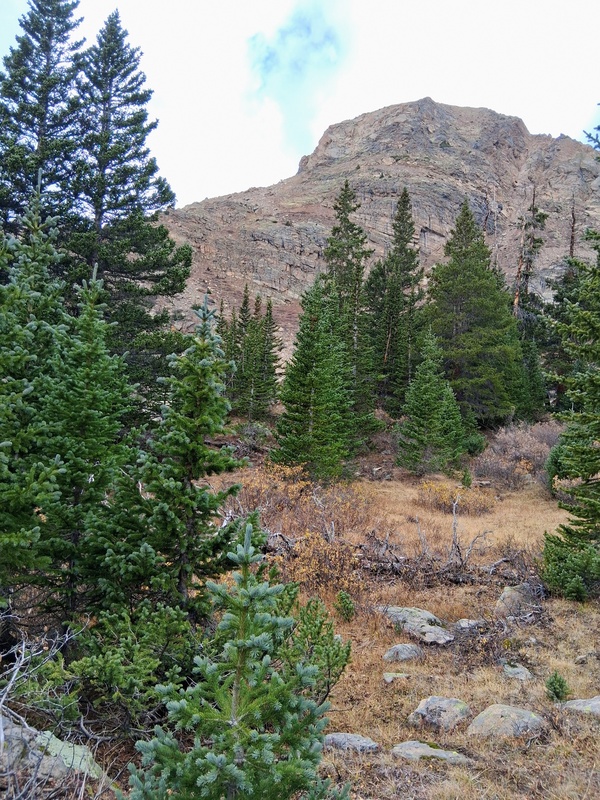
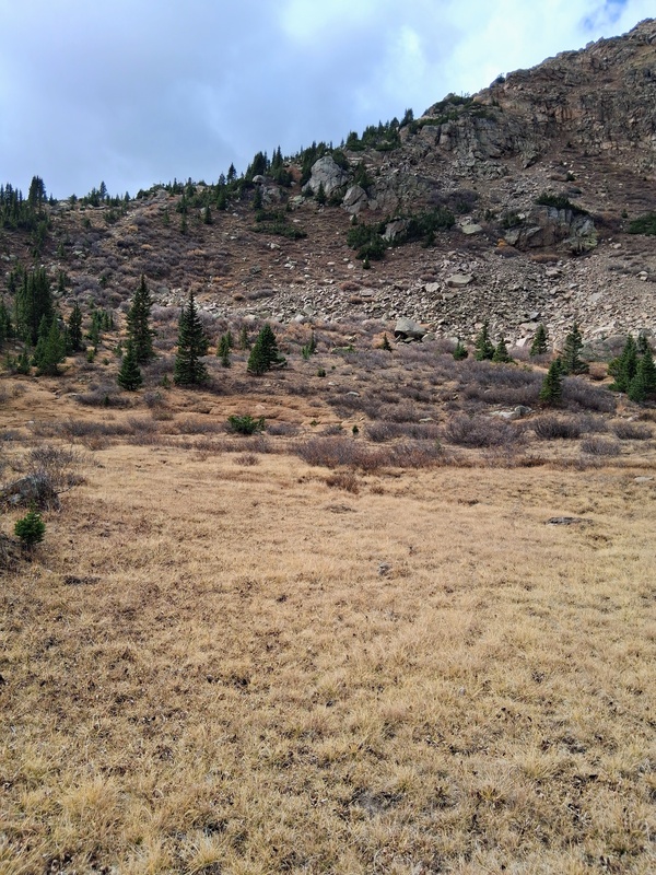
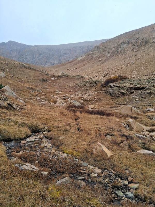
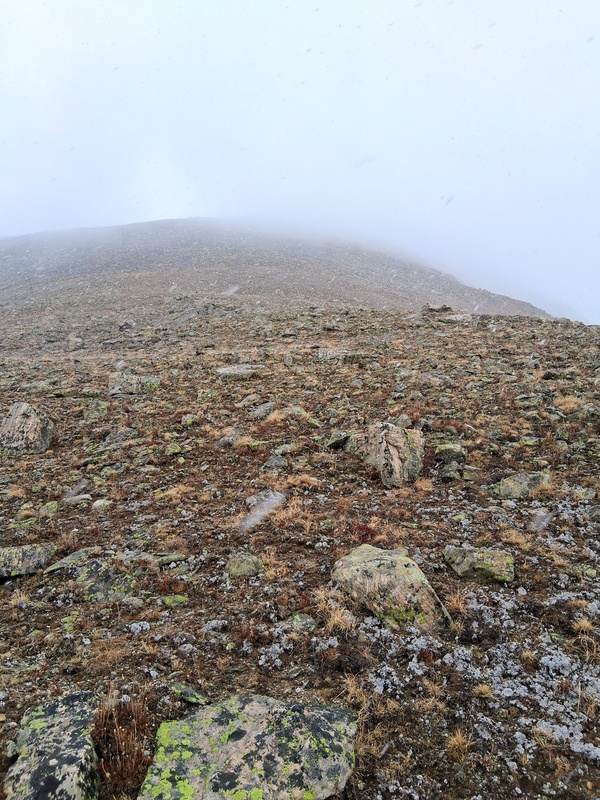
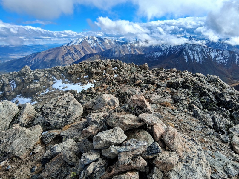
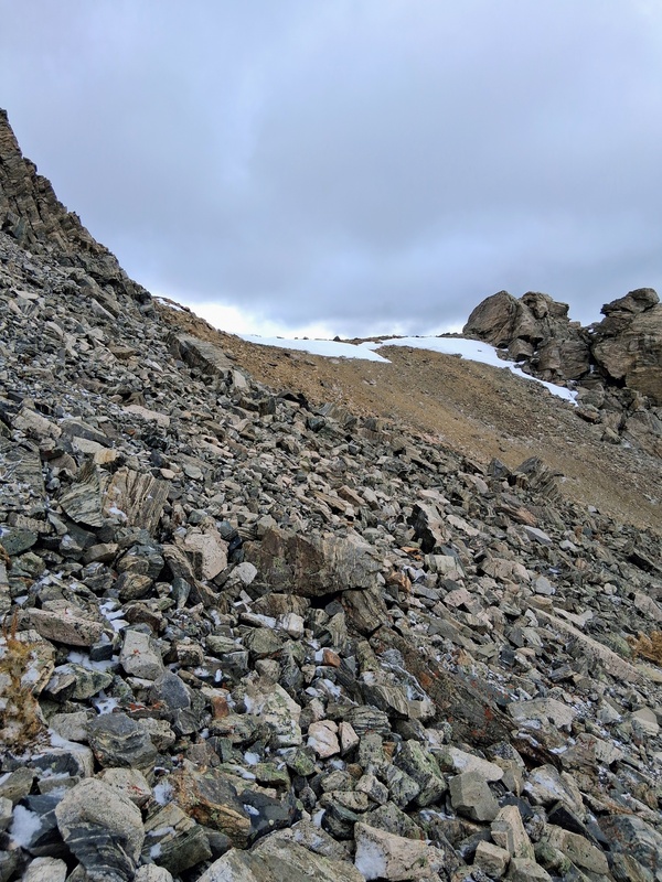
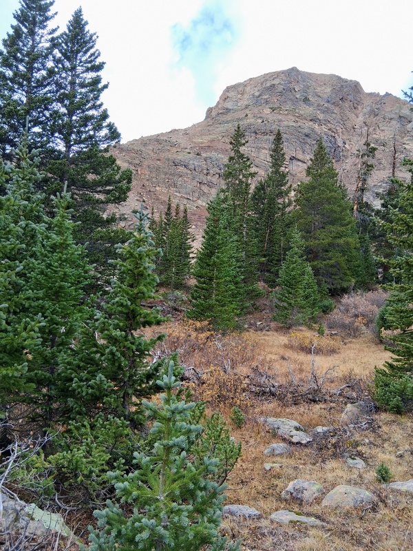
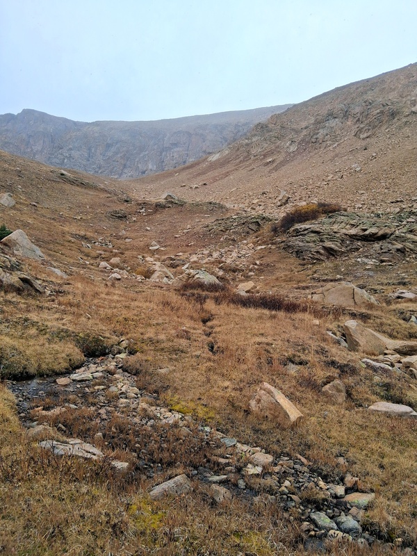
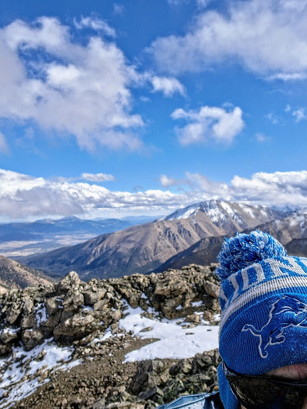
It took about 35 minutes to meet up with Oklahomas standard Southeast Slope route just below the high basin. I Went up a drainage from here and then a very steep slope to the ridge. At this point weather started moving in on me again. Mostly light rain this time though, with the slightly lower elevation, and the visibility was not as bad as it was previously on Massive. The remainder of the climb took me up a steep talus slope through the mist and fog. Fortunately, the skies cleared magically as I approached the summit. It was perfect timing and the views were spectacular as I finished the climb strong. I was happy to get my Massive to Oklahoma redemption! It had been a long day though, so I took some quick pics and started heading down. The steep nature of Oklahoma made for a lightning fast descent and I reached my truck in only 1 hour and 30 minutes. It had been another fabulous day climbing in the mountains and I headed home. 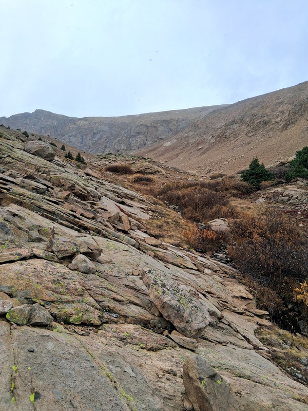
GPS Track(s) on Google Maps (made from a .GPX file upload):
View Map
Thumbnails for uploaded photos (click to open slideshow): 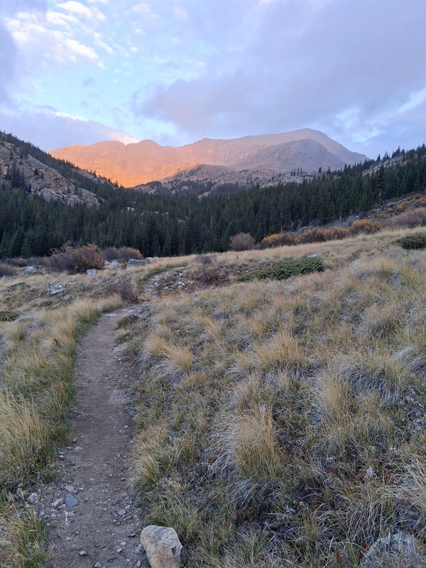
|
| Comments or Questions |
|---|
|
|
Caution: The information contained in this report may not be accurate and should not be the only resource used in preparation for your climb. Failure to have the necessary experience, physical conditioning, supplies or equipment can result in injury or death. 14ers.com and the author(s) of this report provide no warranties, either express or implied, that the information provided is accurate or reliable. By using the information provided, you agree to indemnify and hold harmless 14ers.com and the report author(s) with respect to any claims and demands against them, including any attorney fees and expenses. Please read the 14ers.com Safety and Disclaimer pages for more information.
Copyright: Route information, text, risk factors, maps, GPX files, charts, photos, 14ers.com-created map imagery, flythroughs, and other content provided in this route description are copyrighted by 14ers.com and may not be copied, reproduced, republished, distributed, modified, or used to create derivative works without prior written permission.
Please respect private property: 14ers.com supports the rights of private landowners to determine how and by whom their land will be used. In Colorado, it is your responsibility to determine if land is private and to obtain the appropriate permission before entering the property.


