
| Report Type | Full |
| Peak(s) |
Vermilion Peak - 13,909 feet Mt. Wilson - 14,256 feet El Diente Peak - 14,175 feet Wilson Peak - 14,021 feet Gladstone Peak - 13,923 feet Mt. Sneffels - 14,155 feet Half Peak - 13,866 feet "Quarter Peak" - 13,681 feet Niagara Peak - 13,816 feet Jones Mountain - 13,867 feet American Peak - 13,814 feet Mt. Meeker - 13,916 feet Meeker Ridge - 13,861 feet Longs Peak - 14,259 feet Mt. Lady Washington - 13,277 feet |
| Date Posted | 10/17/2026 |
| Date Climbed | 06/21/2026 |
| Author | notidealbutfine |
| Quest to 100 / Part 7: Early Summer Cigarette Skies / #82 to #90 |
|---|
|
From my blog: https://notidealbutfine.wordpress.com/ Quest to 100 - Part 7: Early Summer Cigarette Skies - #82 - #90 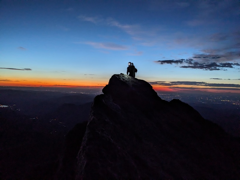
After a productive, yet lackluster 2026 spring skiing season, the long days and warm nights of summer have finally arrived and with them, all the bounties and drawbacks of climbing during the dry season. The more time I spend in the mountains, the more I want to get out during shoulder season. Don't get me wrong, summer is its own beautiful season and where I, and I'd imagine most Colorado mountaineers, not only cut their teeth in the mountains, but also defined their very style. We have summer to thank for those warm nights backpacking in the alpine, dry rock on technical lines, and a whole lot of daylight for those big linkups in the mountains that still get you back to the car before dark. It feels like home and its what most of us know best, however with all the benefits that come with the glory of summer, it also brings its own set of seasonal trials. Specifically, the three drawbacks of summer I find most challenging are as follows: the crowds, the storms and the smoke. For me, both the influx of summer mountain tourism and the regular afternoon monsoons don't take a lot of seasonal adjustment for my style. I, along with anybody who wishes to have any degree of success with their summer plans in the mountains, follow the golden rule of Colorado 14er wisdom: Leave early. Leaving the trailhead early only gives and basically never takes. You can secure parking at busy trailheads, avoid crowds on the approach, climb loose or dangerous features first or with fewer people above you, have the summit to yourself, beat the afternoon storms, link more peaks because of your early timing or get back to the car in the AM for another cup of coffee. Honestly, the list goes on and on and if there's one key ingredient to consistent summit successes in the mountains, its to leave early. My rule of thumb is if the peak has a technical or exposed portion of the climb, plan to get there at or 30 minutes before or at sunrise which will not only put you in a good position to climb without your headlamp, but also catch a nice morning sunrise while up high. Camping at the trailhead the night before had been the biggest concrete solution to making these early days not suck so much because of the early morning driving in the car. Is it excessive? Maybe, but I can't overstate enough how much leaving early has contributed to the actual execution of my big days in the mountains. That being said, go forth and embrace the early morning darkness. On the other hand, the one variable that lie out of our control during the summer season is wildfires. There's a new season in the west and we might as well call it smoke season since this is now a regular occurrence that seems to last longer every passing year. What with the excessive drought across the state from a bum winter, the fire season this 2026 was some of the worst I'd ever taken part in. From widespread trailhead closures to feeling like you're inhaling a campfire on the approach, the wildfires now paint much of the experience of summer in the mountains, their grasp now inescapable. With a few little adjustments to my schedule, I was lucky enough to still follow through with all of my plans this summer mostly due to getting out before most of the big fires started, but my willingness the hike through some days of pretty awful air quality certainly helped as well. Part 7 of the Quest encompasses my early summer days of 2026: four consecutive trips through the western San Juans, the El Diente/Mount Wilson traverse, suffering through ravenous mosquito swarms, choking on ash raining from the sky, navigating the hordes of the Hardrock 100 on Half Peak, and wrapping up with my inaugural trip to Longs Peak for one of the most memorable and epic days among the Centennials thus far. Thanks for following along the Quest and I hope you enjoy part 7! Here's to a beautiful and bountiful summer, or should I say, smoke season! Good luck and have fun! Go forth and crush! My CalTopo Map: https://caltopo.com/m/KS1MKP5 6/21/26 "Some of the Worst Choss I've Ever Experienced in the Rockies" 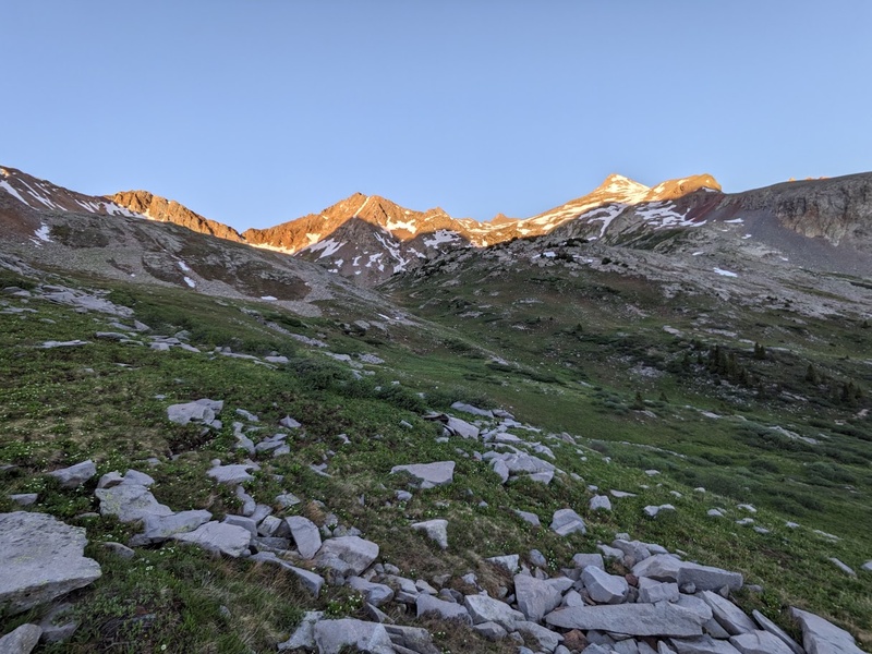
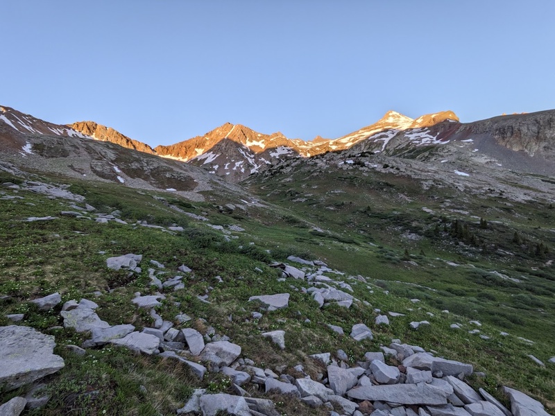
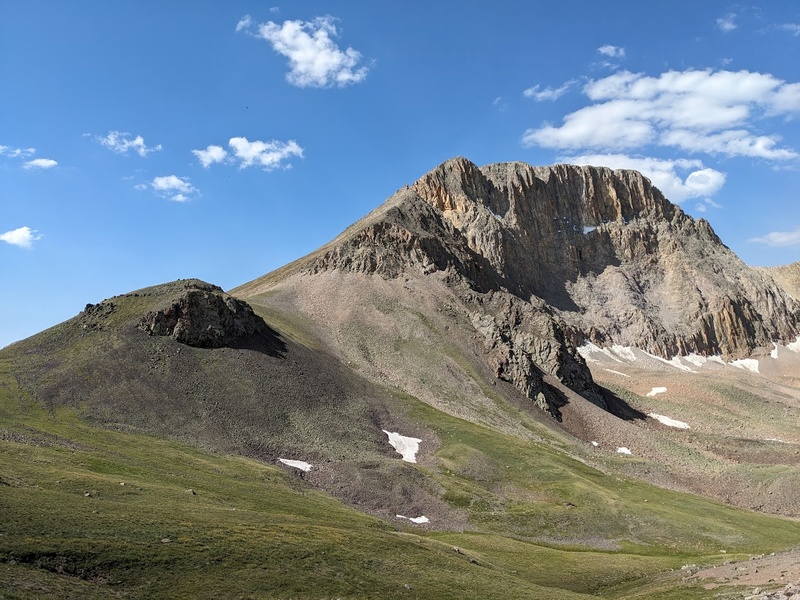
After much awaited anticipation, my San Juan vacation has finally come! This summer I'd plan to take off two weeks from work, one for the Chicago/No Name/Ruby Basins backpacking trip to tag the 7 remaining Centennials in that part of the Weminuche Wilderness, and one for knocking out Centennials in the greater San Juans to help reduce the amount of fuel and time I'd have to consume if I'd planned to hit this area as separate weekend trips. For this fun filled early summer week, the plan was to head west near Telluride for Vermillion, the Wilsons and Gladstone, then pop over to Ouray for Sneffels and back to Lake City on the way home if the weather/my composure held up. After a full day of map making, packing, and prepping for a week of living out of my car, I finally set off for the Hope Lake trailhead, about 5 hours from my home, to hit Vermillion from the west. The drive to Telluride was slow and long but wrapped in a giddy effervescence to finally have the opportunity to turn the phone off and immerse myself into a week of San Juan glory. I'd chosen Vermillion from the west side mostly due to convenience of the trailhead's proximity to the Wilsons where I'd be headed to following day. Besides, the accounts I have read about Vermillion are generally that its a pretty "blah" of a mountain from either Ice Lake or Hope Lake, mostly due to the lack of any distinct, defining features and extreme choss on both sides of the saddle. After a couple of rough miles just below the trailhead, I spent the night in the overflow lot in solitude for a 5AM start the following day. Overall, the predawn hike was quiet, clear and easy as I moved through the beetle kill forest below Hope Lake. About a mile before the lake, in true Centennial 13er fashion, I bushwhacked my way off trail to the bottom of the saddle that separates Fuller and Beattie. What lie I ahead was some of the most unexplainably bad scree I'd ever experienced in the mountains... 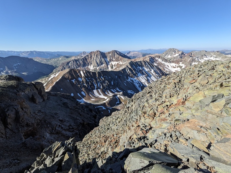
I like to think of the peaks in this area not as mountains, but more as glorified rubble heaps that happen to have a high point you can call a "summit". Every step would sink you ankles deep in talusy misery, filling your shoes with uncomfortable shale-like pebbles. Seriously, I thought the Elks were known for their choss, but the San Juans might take the cake on this one. From the saddle, the trail sidehills across more heinous scree below Fuller to the summit ridge beneath Vermillion, where I accidentally climbed the false summit tower before turning around and realizing the true summit was right behind me. Maybe that's why it felt harder than class 3... From the true summit, I quickly traversed to Fuller, back down to the saddle and finished up on Beattie for a three-peak day punctuated continuously by sections of loose shit that made me want to cry. Nowadays when I drum up memories of Vermillion, despite the good weather and conditions, I mostly recall just wanting to get the day over with due to the truly laughable amount of scree. A good warmup to the trip perhaps...? Once back at the car in good spirits, I moved camp to a dispersed site just beyond the Navajo Lake TH to set myself up for a night of backpacking and two days of climbing in the Wilsons. Among the multiple options for approaches and routes in the Wilsons, I ultimately decided on approaching from Navajo Lake and climbing the routes on the north side due to convenience from Vermillion and road conditions. Day one would involve approaching five miles to Navajo Lake, dropping the backpacking gear, climbing El Diente north buttress, traversing to Mount Wilson, then descending the north face back to the basin then finally camp. Needless to say, it was going to be a pretty big day tomorrow so I tucked in for an early night's rest in preparation for my 3rd (and for me, probably final) of the Great 14er Traverses. 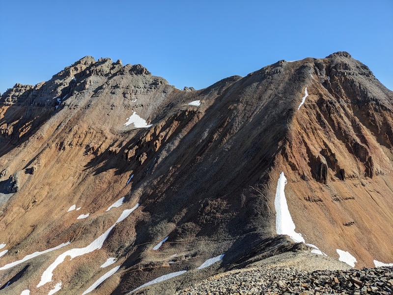
6/22/26 "Certainly the Chossiest of the 'Great' Traverses..." 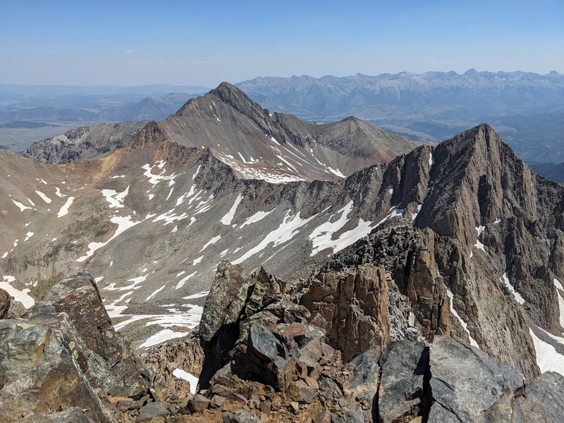
Ring, ring, ring chirps the 2AM alarm as I drift in and out of consciousness at my cozy car camp near the Navajo Lake TH. Right, I was supposed to get started early today what with the traverse and all. By 3AM I was highly caffeinated and flying my way up the first five miles of meadows and woods in the darkness to Navajo Lake. By 5:45AM, I had made it to camp, dropped my gear and set off for the final mile to the base of El Diente's north buttress. After a decent break to filter some water, eat snacks and review the beta photos, I was ready to start moving up the surprisingly solid looking route. Despite how awful the nearby north slopes route had looked, the climbing on El Diente's north buttress itself had quite solid rock, all things considered. Luckily the 14ers app had a great photo guide for this new route that really helped keep me on track but overall, I found the climbing generally straight forward, easy to navigate and never exceeding class 4. The first third of the route was more talus/boulder hopping and low angle scrambling in the darkness, whereas the second third got steeper, navigating around weaknesses in the ledges. About two thirds up the climb, the route crosses a notch before heading up the final few hundred feet to the summit. Despite a record breaking low snow year, the notch and proceeding 30 meters of the scramble were covered in shady, northern facing snow with an icy runout below that'd send you for a ride down the mountain you most certainly weren't asking for. Despite my obsessive reluctance for carrying any extra, heavy or unnecessary gear, I wisely packed the ice axe and micro spikes with me for this very circumstance. The snowy scrambling was overall relatively easy, but I was very grateful to have an axe just for that section alone due to the scary runout below both sides of the notch. The final pitches climbed steeper, blocky boulders before topping out onto the incredibly narrow and jagged ridge below El Diente's summit, which I tagged around 9AM. Though loose, the views of the upcoming traverse to Mount Wilson looked the be the most manageable of the great traverses due to the very low amount of elevation gain and loss. 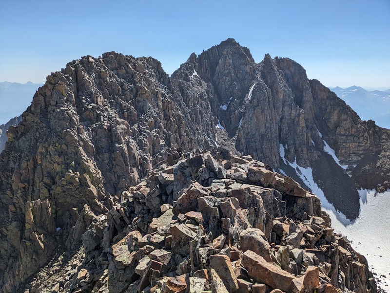
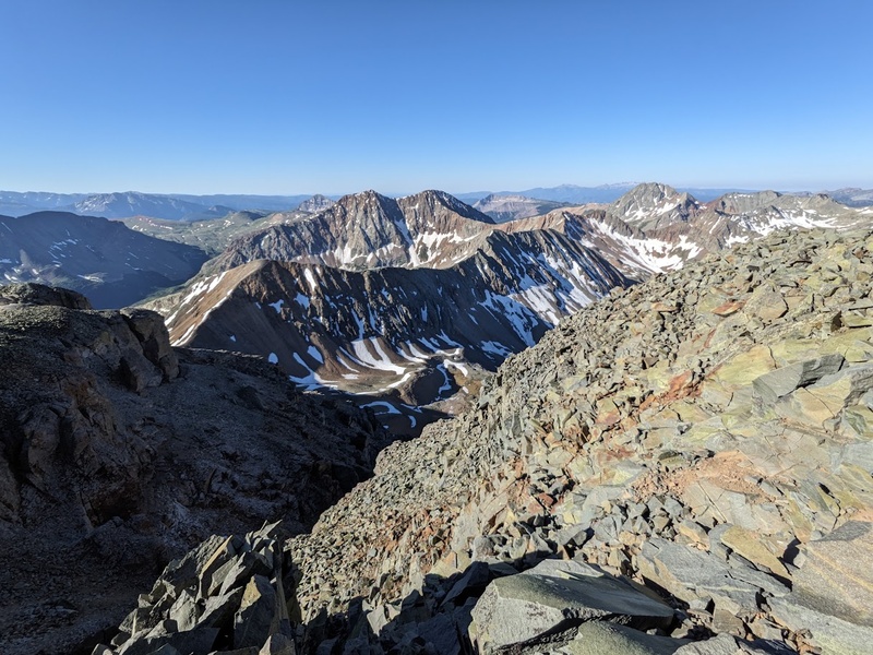
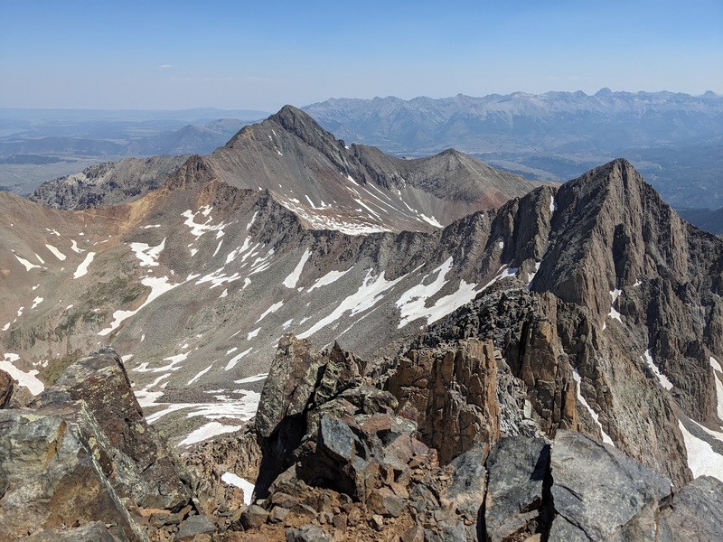
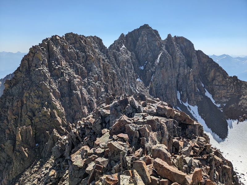
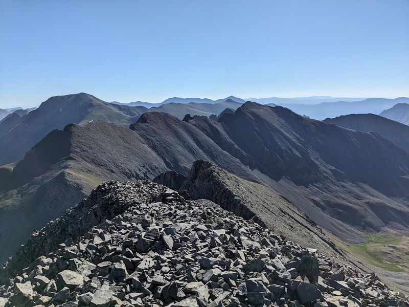
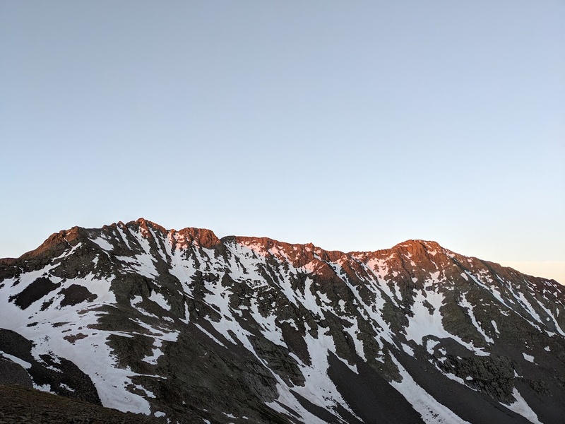
Traversing along the south side of the ridge was not only super clear due to the beta photos and amount of cairns, but also incredibly beautiful and highly signature as you traversed around the various landmarks along the ridge. That's certainly not to take away from how loose it is! Good god, if it weren't for the great views and unique positioning, this thing really is a garbage heap for all intents and purposes. Once beyond the Organ Pipes, Pin Point, then finally West Wilson, the traverse plops you into a notch, a few loose pitches below the small summit of Mount Wilson proper. From the scramble, I mostly remember being taken aback by the difficulty of the final class 4 moves to the incredibly narrow summit. Seriously, you couldn't fit more than about three or four people on there comfortably; what an astounding position! The views of tomorrow's route on Wilson Peak and Gladstone looked glorious and honestly even better than the traverse today. From the summit, I downclimbed back to the north face route where I was forced to improvise a way down the loose scree slopes punctuated by snowfields that were still hanging on from spring. I'm incredibly happy there was no one else below me because not only was I knocking down a lot of accidental rocks, the melting snow was giving way to a lot of natural rockfall as well making for honestly one of the sketchiest descents I've had down a 14er. The descent down to the basin switched between delicately downclimbing loose crap to traversing the snowfields with an axe and spikes; needless to say progress was slow and I was pretty mentally and physically exhausted by the time I made it to a safe location in the basin where I could sit, take my helmet off, eat some lunch and soak in today's effort. As I trudged my way back to camp, all I wanted was to drink some water, get out of the sun and relax for the rest of the day before setting off on another big day tomorrow up Gladstone and Wilson Peak, but what followed that afternoon would be unfortunately burned into my brain as one of the worst nights of backpacking I'd ever experienced... 6/23/26 "The 5th Beatle of the Fab Four 14er Traverses" 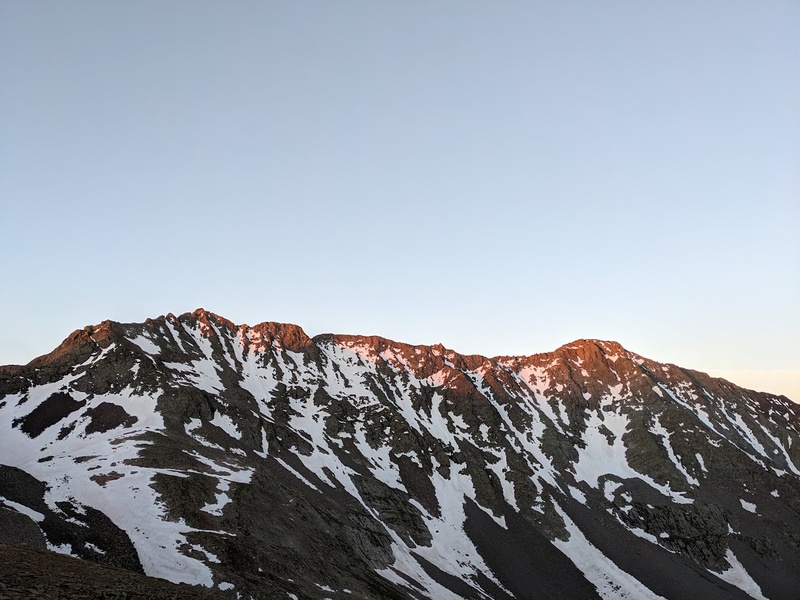
After returning to camp from the El Diente/Mount Wilson traverse, all I wanted was to rest, but I knew I had a few chores to do like setting up camp and collecting water so I buckled down despite the exhaustion and finally got to chilling about 3PM, or so I thought. Not only were the swarms of mosquitos around Navajo Lake absolutely abysmal (and I was tarp camping), but dear lord was it blazingly hot during the middle of the day with not a cloud in sight. One of these factors alone would make an uncomfortable, however tolerable camp, but the combination of the two had me going nuts when I all I wanted was to lay down and sleep. The rest of the evening had a cadence something like this: lie down in the bivy for 15 minutes, sweat profusely and overheat in the afternoon sun, get out and pace around to avoid the mosquito swarms, rinse and repeat until about 9PM. Needless to say, it was a quite uncomfortable camping experience that left me not feeling great for that wretched 3AM alarm the following morning. Despite the itchiness, sleep deprivation, various digestive "incidents" and overall low morale to start the day, I carried on east towards the Rock of Ages saddle. Today would involve summiting Wilson Peak southwest ridge, Gladstone north ridge, descending back to camp and backpacking another 5 miles to the trailhead where I would drive another couple of hours to Ouray and find a campsite up Camp Bird Road before climbing Sneffels tomorrow. Yeah, it'd be a big day; time for a positive mindset and to lock in! 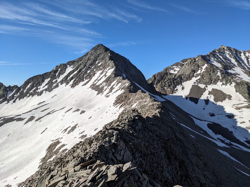
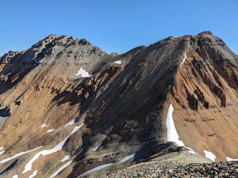
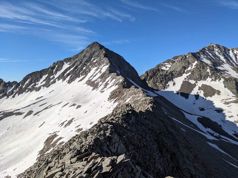
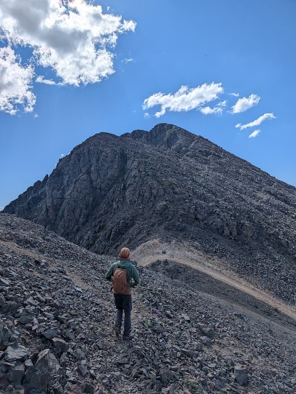
By first light, I was rapidly making progress through the talus slopes below the Rock of Ages saddle then starting up Wilson Peak's southwest ridge by about 6:30AM. Though the climbing at dawn was highly immersive, solitary and peaceful, my main takeaway from the route was that it was, yes you guessed it, extremely chossy, however easier at class 3 and shorter than yesterday's routes. I got up and down quickly because I knew the Gladstone north ridge was going to take me a good chunk of time, not to mention the rest of the day. Once back at the saddle, I dropped my pack and set off for the three mile round trip scramble on the ridge up Gladstone. With the exception of the blatant amount of commitment required for the route, my initial impression of climbing Gladstone's north ridge was of its superb rock quality. Well lets not get carried away, it's still San Juan choss, but it was noticeably better than the rubble piles of both Wilsons and El Diente. As is true with many Centennials, the 13er in this group is most definitely the crown jewel and its a shame its climbed less frequently than the 14ers. Alas, Gladstone is just 77 feet short of having a whole crap load of people on it and perhaps its better that way. After many ups and downs, a random conversation on the exposed ridge with another Centennial climber, and some nice sustained class 4 scrambling, I sit atop Gladstone Peak, taking in what is also probably the best view in all the Wilsons. Like clockwork, summit joy was met with equal parts dread of having to reverse the route and backpack out today, so in regular fashion, I didn't spend much time on summit and got to working my way down the steep ridge back to the saddle before long. Definitely more spicy on the way down! Other than the mild exhaustion and more afternoon heat, my descent back to camp, then to the trailhead was generally uneventful and just what I needed to finish out the day after spending three hours on the exposed Gladstone ridge. From the car, I drove the two hours to Ouray, celebrated with some (loudly overpriced and extremely average) Thai food, and found a site up Camp bird Road at a quasi-legal spot somewhere near the 2WD trailhead. It was a quick turnaround, but I was feeling extra grateful to be sleeping in a car away from the bugs, eating warm (however mediocre) food, and actually getting some much needed rest between climbs. Overall, the Wilsons made a serious impression on me (and not just the choss), but it's Gladstone that truly deserves the MVP in this group with its solid rock and truly breathtaking positioning on the ridge. Cheers, Wilsons! 6/24/26 "Ouray Sucks" 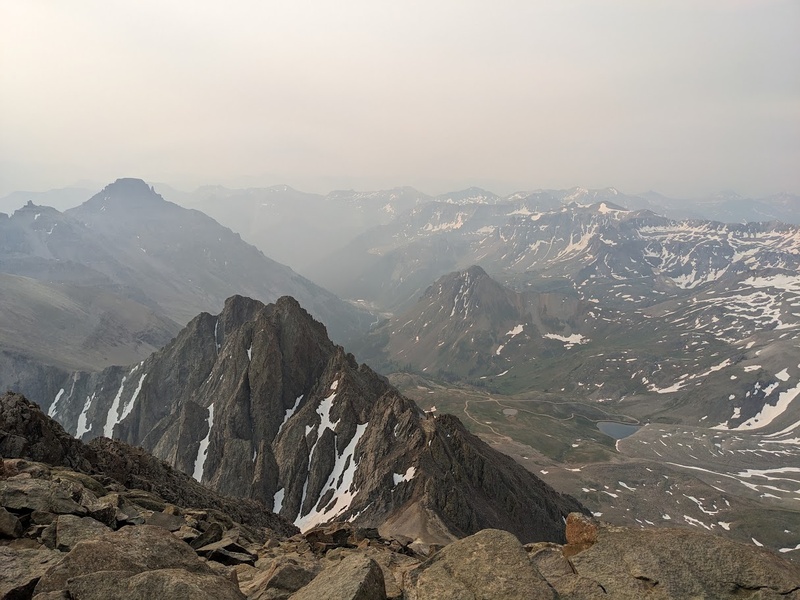
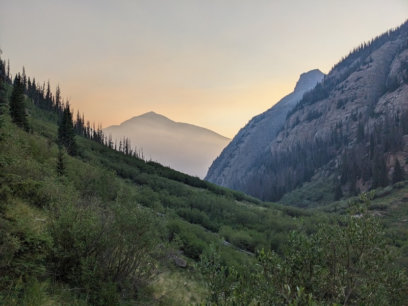
Following some seriously needed sleep after the Wilsons, I got started working my way up the Yankee Boy Basin road around 5AM. It was important for me to start decently early today since I really wanted to avoid the crowds not only on the mountain, but also driving up and down the road. I'll be honest, I'm not a huge fan of this area. Though the views are nice, the access, road and general amount of tourism are pretty vibe killing. Not to mention it seemed like the first signs of summer wildfire smoke were beginning to move in this morning from the west, tainting the sunrise in an ominous, filtered light. Sure enough, the Dry Creek Fire in western Utah had started earlier that morning and the Sneffels area was already getting socked in so I cruised quickly up to Blue Lakes pass in an hour and a half in hopes of wrapping the day up quickly to reduce my time in the poor air quality. 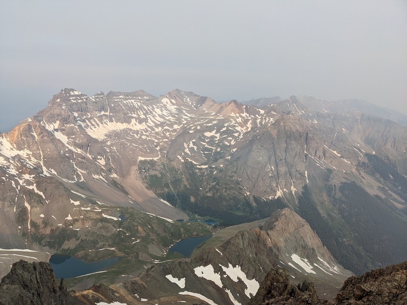
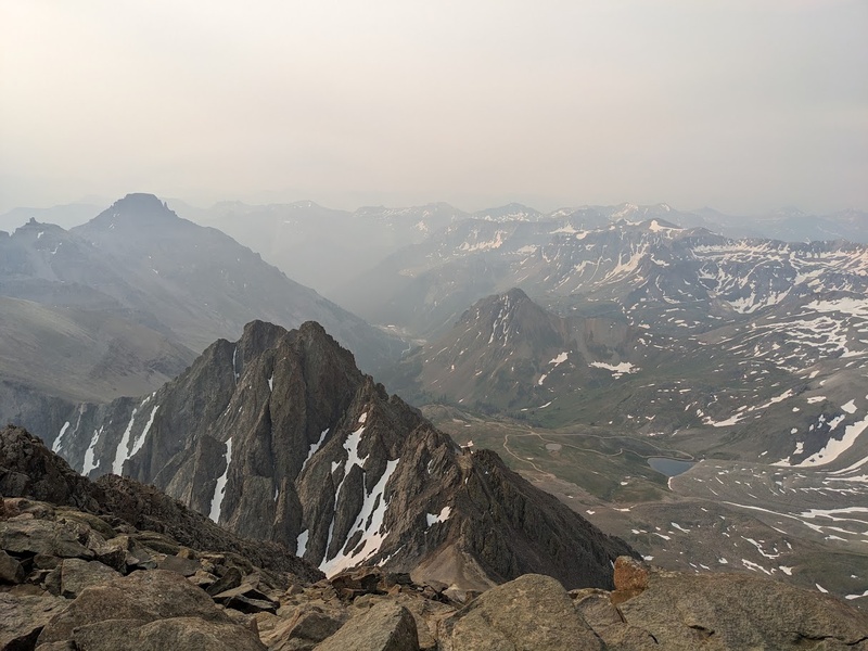
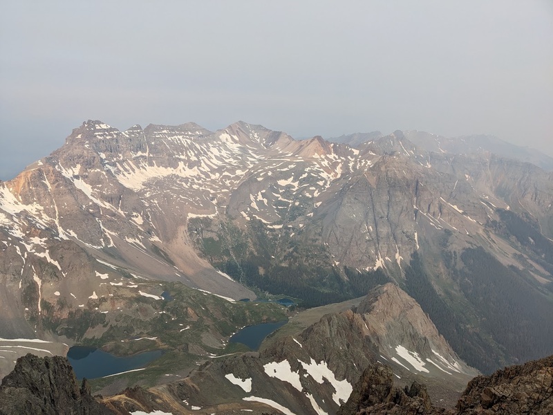
For some reason, Sneffels seems to have a great reputation among the 14ers community, being that it is an accessible mountain with solid, beginner-friendly class 3 scrambling in a scenic area. My first impressions upon getting on the ridge were that it was more of a gulley grovel than a ridge climb and surprisingly looser and shittier than I had imagined. Not to mention, even by 6:30AM there were multiple parties already above me being that its a decently popular mountain. Route finding was pretty straightforward due to the amount of cairns and general rockfall so I was able to move swiftly to the upper pitches of the climb. Luckily the slab scrambling just below the summit was superb and solid, though very short lived, only lasting a couple hundred feet. On top, the views were apocalyptic, almost surreal in feeling with the incoming smoke from Utah, almost like a David Lynch film. Views of the Dallas Divide and Blue Lakes in the veil of smoke made for some eerie photos under the burning pink sky. From the summit, I could see the traffic on the mountain and Yankee Boy road were starting to get a little crazy so I worked quickly down the standard route off Sneffels. Despite downclimbing an incorrect 5th class chimney to salvage an abandoned trekking pole, the descent was easy but overwhelmingly busy on the way down. Even on a Wednesday morning at 9AM, the road with jam packed with trucks, jeeps, dirt bikes, ATVs and hikers wanting to get up to that oh so fabled Yankee Boy Basin. Needless to say, I got the heck out of there as fast as possible, made it down to Montrose for an excellent burrito, and wrapped up my San Juan vacation a couple of days early in lieu of Lake City due to the amount of incoming smoke and storms in the next few days. Overall, both Sneffels and Vermillion felt below average for me and definitely didn't live up to the hype, but a couple of days in the Wilsons made the larger trip all worth the effort, mosquito bites withstanding. 7/11/26 "Choke-able Smoke, Raining Ash and Air Tankers Galore!" 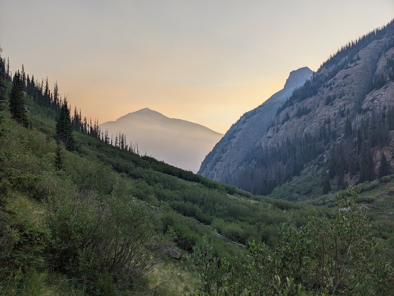
The remaining peaks surrounding Lake City had been put off long enough and it was finally time to get out there despite the craze that is the San Juans around the fourth of July. This two day trip wouldn't involve hiking on any 14er trails, so I was hoping they would be less busy this weekend. Because of my futile efforts and piss poor planning, not only was the weekend looking super smoky from both the recently started Elk and Gold Mountain Fires but was also the weekend of the Hard Rock 100 Ultra which shares multiple miles with Half Peak and uses the trailhead as an aid station. Taken aback from the absolute insanity at the trailhead, I turned around and found a nice dispersed site a few miles away at Bent Creek for a chill camp the night before my climb up Quarter and Half. 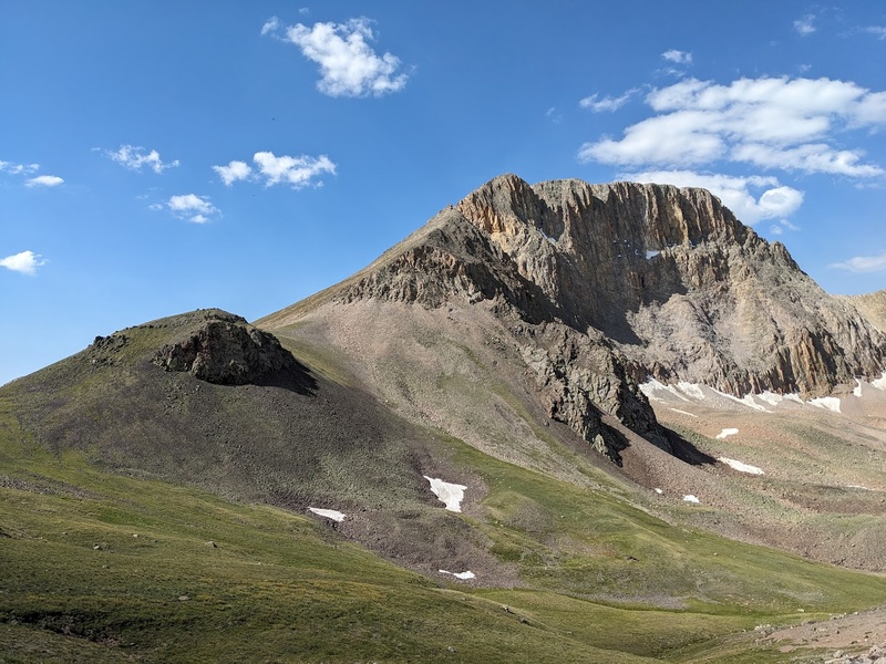
Even at 5:30AM the trailhead was a total bustle with runners up and down the road, generators roaring and cars clogging up both side of the road in a tight jam. I managed to find a parking spot just past the trailhead and got started moving at an alarmingly quick pace. Nothing like the desire to get away from other humans to be some of the best motivation for cranking it into overdrive on an approach. On my way up, I was surprised at the runners not running up the trail; I guess you're not supposed to run up the hills? Beats me, I'm not a runner. By two miles I made it to the point where I'd bushwhack off trail up Quarter Peak and take a break away from the traffic on the main trail. To the top, Quarter was a decently nice talus slog despite the overwhelming campfire smell and snow-like ash raining from sky that glimmered in my morning headlamp. Near the top of Quarter I was treated with some nice company of about 50 elk and three bighorns. From here, the direct traverse looked far too spicy so I reluctantly dropped into the Square Basin and traversed my way across more shit talus to the saddle between Quarter and Half. Atop Half, about ten planes passed overhead that were fighting the nearby fires in the smoky skies which left on odd impression of the day on me. Other than some short class 3 scrambling just below the summit, Half was not particularly memorable beyond the crazy crowds for the Hard Rock 100 and choke-able ash raining from the sky. Feels like summer has truly, finally arrived. 7/12/26 "Get High, Stay High: Exquisite San Juan Alpine Hiking" 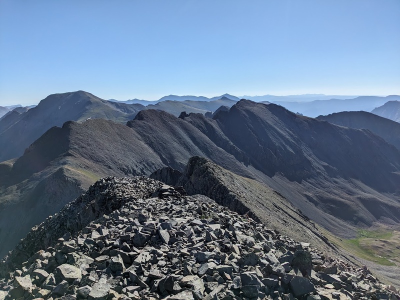
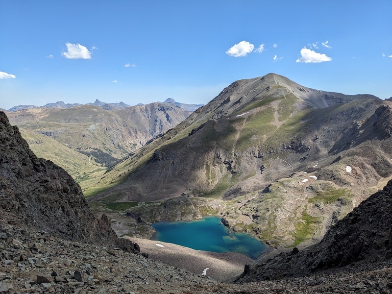
After Quarter/Half, I booked it out of the aid station/trailhead back to my camp from the previous night, had a nice bowl of ramen and waited for William to join me around 6:00PM that evening in preparation for the Jones group tomorrow. Like the great partner he is, William was willing to drive his Jeep out so we could have a shorter approach for our hike. Ultimately we decided to Jeep over Cinnamon Pass to Burns Gulch and approach the mountains from the west. Apart from the widow maker that fell not 12 feet from William while sleeping at camp, the evening was uneventful and we managed to hop in the Jeep around 3:45AM. Up and over Cinnamon Pass we rode, arriving at the Burns Gulch trailhead after a couple of very rough miles away from the main stretch. William shares my affinity for peaceful, noncrowded days in the mountains, so we were both ecstatic to see we had this side of the Jones group to ourselves just before dawn. Since we were able to park so high in elevation, the talus trundle up the slopes separating Jones and Niagara went quickly, timing our arrival to the saddle with the sunrise over the Snare Lakes perfectly. Truly remarkable summer views galore! We scooted quickly up the Centennial's newest member of the family, Niagara Peak, a generally average class 2+ scramble with decent views of the area, followed by Jones, which for all intents and purposes, is about the same. From Jones, the downclimb to the saddle separating it from American Peak felt surprisingly steep, but still stayed around class 2+. The final traverse and climb up American was probably the highlight of the day featuring one of a kind views of Handies, American Basin and Sloan Lake which was gleaming crystal blue in the soft sunlight. For the descent, we backtracked to the saddle and down scree slopes into the Grouse Gulch, then bushwhacked back to the Jeep for a short, but highly concentrated day in the mountains. If it hadn't been for the ease of traversing and sheer amount of time you get to spend up high, the Jones group was nothing particularly special beyond a nice, quiet day in the hills with a friend which I'll gladly take anytime. 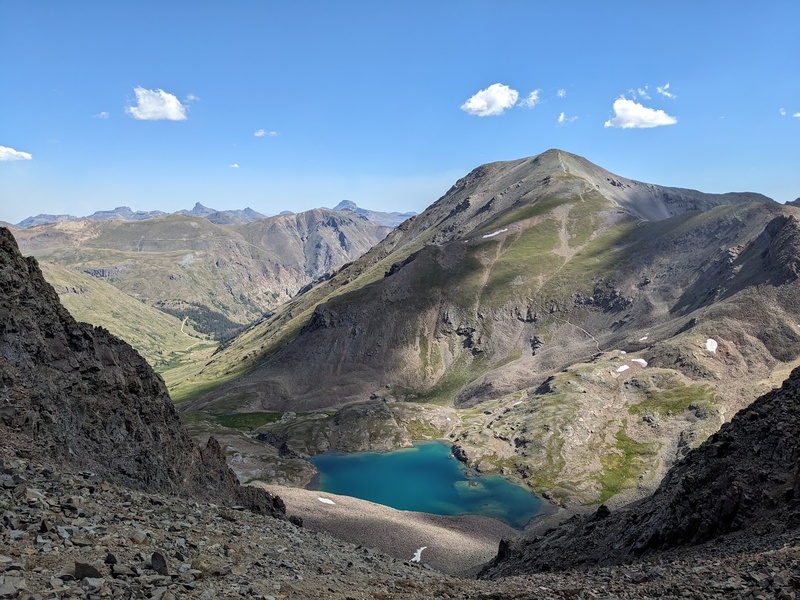
7/26/26 "Truly Deserving of Every Ounce of Hype" 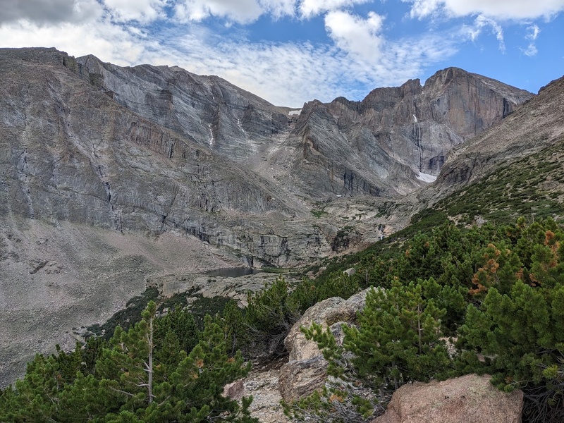
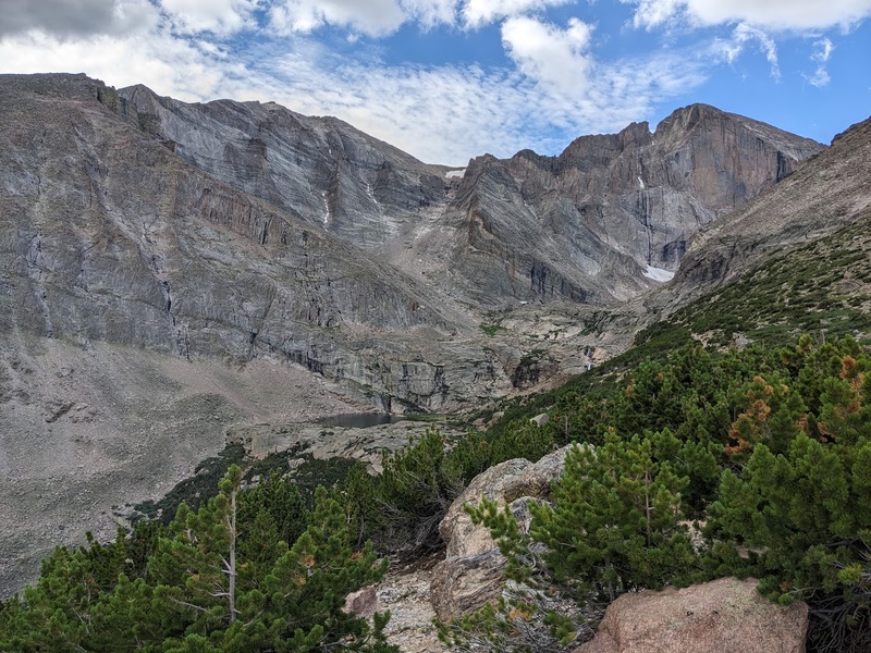
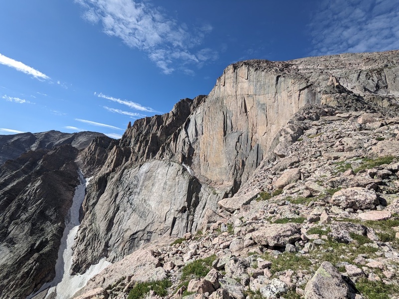
I had originally planned to hike Longs and Meeker by myself from Wild Basin, but William had managed to get some time off so the stars aligned for us to get out there together and climb his favorite 14er once again. After some deliberation we agreed that I'd be missing out on the classic Longs experience if we started from Wild Basin, so ultimately we landed on starting from the standard trailhead for an extended tour of the mountain cirque that is Longs, Meeker and Mount Lady Washington. I'd honestly been dreading Longs due to the summer crowds in Rocky Mountain Nation Park, but I was relieved to be here with a good friend that is willing to beat the crowds and wake up even earlier than me. And so it would be, we left the valley around 11:30AM and got to our camp just outside of Allenspark on Ski Road around 5PM. After a brief 5 hours of sleep, we began what would come to be my earliest alpine start to date, leaving the trailhead just a few minutes after midnight. The approach in the dark was calm and quiet on a good trail for the first three miles where we split off to Chasm Lake, used the new privy then started making progress southeast to the base of Meeker's Iron Gates. Even at 1:30AM, we could see lines of headlamps moving up the trail to the standard keyhole route, ensuring me that we made a great decision picking the nonstandard route up Longs today. In the total cover of night, we blindly passed through the Iron Gates, up the class 3 talus slopes leading to the summit ridge below Meeker. Before long we were traversing the narrow ridge in some higher than forecasted winds to Meeker Ridge, the unranked point below Meeker proper. From here, just a windy class 3 knife edge traverse lie between us and the top which was beautiful, highly aesthetic and righteously spicey in the bubble of our headlamps. Personally, I find a lot of comfort in climbing in the dark; it's almost like the exposure around you just falls away and you're set up to just focus on what's in front of you. We summited Meeker about an hour before twilight and were treated to some magnificent views looking east to the predawn birth of the day. From Meeker, we descended off the ridge down to the Loft, then followed the class 3 Clark's Arrow route around the backside of Southeast Longs to the notch. Amazing views of the towering Palisades and their pristine cracks competed for our attention during the ascent up the notch where we eventually ended up at the base of the final pitch, Stepladder, at about 7:15AM. Stepladder ended up being a real treat of a pitch that followed a slabby corner and blocky ledges to the summit of Longs. Honestly, I was taken aback by the superior rock quality and unforgettable positioning on Longs; Stepladder could be one of the most memorable low 5th scrambles I've had the pleasure to get on in the alpine and I mean that with all my heart! 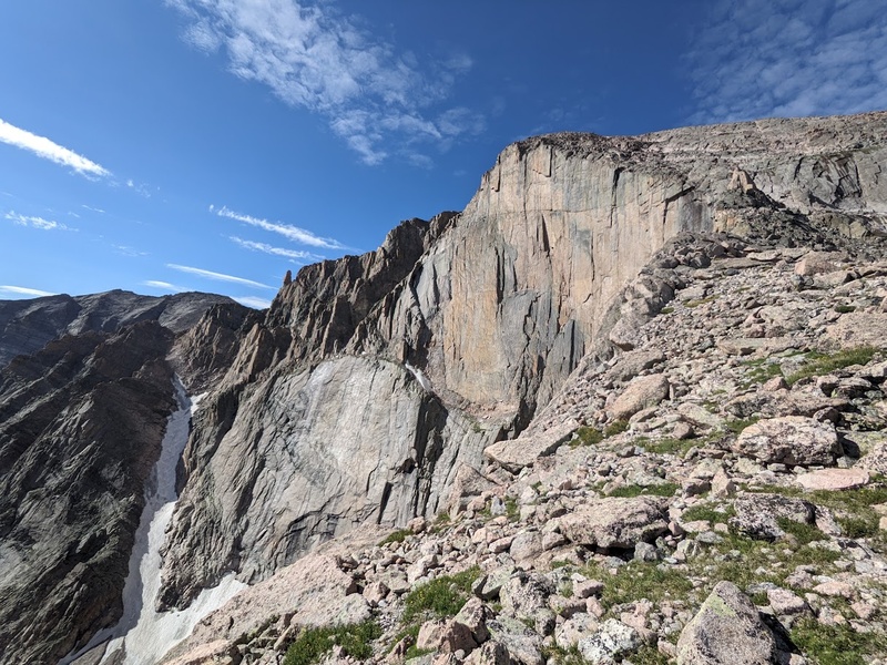
By 7:30AM we popped onto the wide summit of Longs joined by about 20 other hikers who made it up the Keyhole route. Being the antisocial turds that we are, William and I didn't stay long on top and he lead the way down with an improvised plan to descend the Cables route and linkup Mount Lady Washington to pack even more into an already crammed day. William had descended Cables with ropes once before and was feeling confident that we could downclimb it, so we moved our way down to the crux of the route and took a nice break at the top to scout out the pitch, which ended up being a lot more wet and icy than both of us were anticipating. Perhaps due to our reluctance (or laziness) to climb back up and descend the standard Keyhole route, we stubbornly pressed on as I led the way down Cables. As I was desperately jamming my shoes into the icy crack while moving down the pitch, I couldn't help but to think to myself how odd it is that the most technical portion of the day would be on the downclimb. Funny how that worked out! Cables was hairier than both of us were anticipating, mostly due to the water and ice recessed in the crack where most of your holds are located making it feel a grade or two harder than 5.4. From the base of Cables we split up so I could use the privy and met back up for our final peak of the day atop Mount Lady Washington where we took a nice long break to soak in the effort we'd put in today as well as the truly awesome views of the Diamond just ahead. Other than the ridiculous number of crowds on trail and clogging the parking lot, the descent back to the car was straightforward, uneventful and the perfect way to cap off a spectacular day. All in all, Longs is worth all the hype and I am not too proud to say, I finally get it. Despite the swarms of people and general Front Range craze for this mountain, it truly deserves every bit of hype and praise it gets. Between the unmatched rock quality, incredible panoramic views and multiple distinct, mountain-defining features, the climbing on Longs is undoubtably a Colorado classic and I can't believe I've waited this long to finally get out here. Cheers to wildly breaking your expectations whenever possible; thank you, Longs! 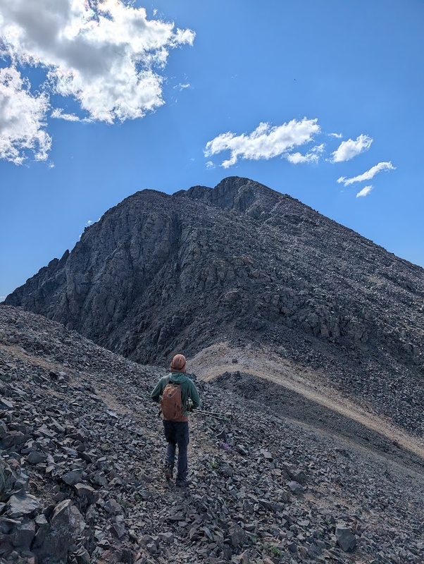
With 90 in the bag, 10 Centennials still remain and the goal of finishing before my birthday in early October has come into focus as realistic and within my reach. With the final two months of summer, that'd leave two trips filled with backpacking and 5th class climbing among one of Colorado's greatest wilderness areas: the Weminuche. Part 8 will encompass my six day adventure touring the Chicago, No Name and Ruby Basins as well as wrapping up in the Grenadiers for Vestal, Arrow and Trinity. Even with the end in sight, both Jagged Peak and the Wham Ridge on Vestal were giving me pause for the final two trips. Jagged, with its complex, puzzle-like route finding, is considered to be the Centennials toughest standard route going at 5.2. And while there is an easier way up Vestal, as a climber, I knew the Wham Ridge (5.4) couldn't be missed either. Both of these routes loomed large in my mind during the approaching weeks leading up to the climbs, but in truth the challenges of the Weminuche manifested in means I was neither expecting nor remotely ready for... And on that note, I hope you have enjoyed and will tune in for the eighth and final episode of the Quest where I battle with the rigors of sleep deprivation and subsequent illness, excessive bushwhacking in the No Name and Ruby Basins, climbing the puzzle box that is Jagged Peak, a week of unintentional cold soaking, soloing the mighty Wham Ridge at sunrise, unexpected finisher feels and an encounter with an overly eager and aggressive porcupine raiding my camp at 3AM. Thanks for reading and I'll see you in the next one for the trials and tribulations of the Weminiche Wilderness. Cheers, stay safe and have fun in the mountains! Thumbnails for uploaded photos (click to open slideshow): 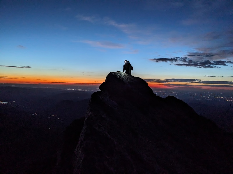
|
| Comments or Questions |
|---|
|
|
Caution: The information contained in this report may not be accurate and should not be the only resource used in preparation for your climb. Failure to have the necessary experience, physical conditioning, supplies or equipment can result in injury or death. 14ers.com and the author(s) of this report provide no warranties, either express or implied, that the information provided is accurate or reliable. By using the information provided, you agree to indemnify and hold harmless 14ers.com and the report author(s) with respect to any claims and demands against them, including any attorney fees and expenses. Please read the 14ers.com Safety and Disclaimer pages for more information.
Copyright: Route information, text, risk factors, maps, GPX files, charts, photos, 14ers.com-created map imagery, flythroughs, and other content provided in this route description are copyrighted by 14ers.com and may not be copied, reproduced, republished, distributed, modified, or used to create derivative works without prior written permission.
Please respect private property: 14ers.com supports the rights of private landowners to determine how and by whom their land will be used. In Colorado, it is your responsibility to determine if land is private and to obtain the appropriate permission before entering the property.


