
| Report Type | Mini |
| Peak(s) |
Mt. Emma - 13,592 feet Gilpin Peak - 13,699 feet Mt. Sneffels - 14,155 feet "Kismet" - 13,703 feet Cirque Mountain - 13,692 feet Teakettle Mountain - 13,815 feet |
| Date Posted | 09/08/2026 |
| Date Climbed | 09/07/2026 |
| Author | Boggy B |
| Additional Members | TatPolice |
| Emma to Teakettle |
|---|
|
Ready access to the alpine in Yankee Boy Basin suits it well to "dad mountaineering," thus I have a laundry list of interests there, and eventually such curiosity must be satisfied. A traverse of the ridge from Emma to Potosi neatly encompasses some of these objectives and seemed achievable by someone of my imploding fitness in a party of two, outfitted minimally, with many options to bail no more than a couple miles from the trailhead.
Emma to Gilpin
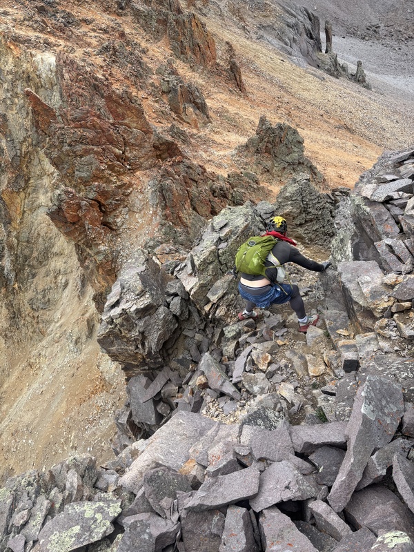
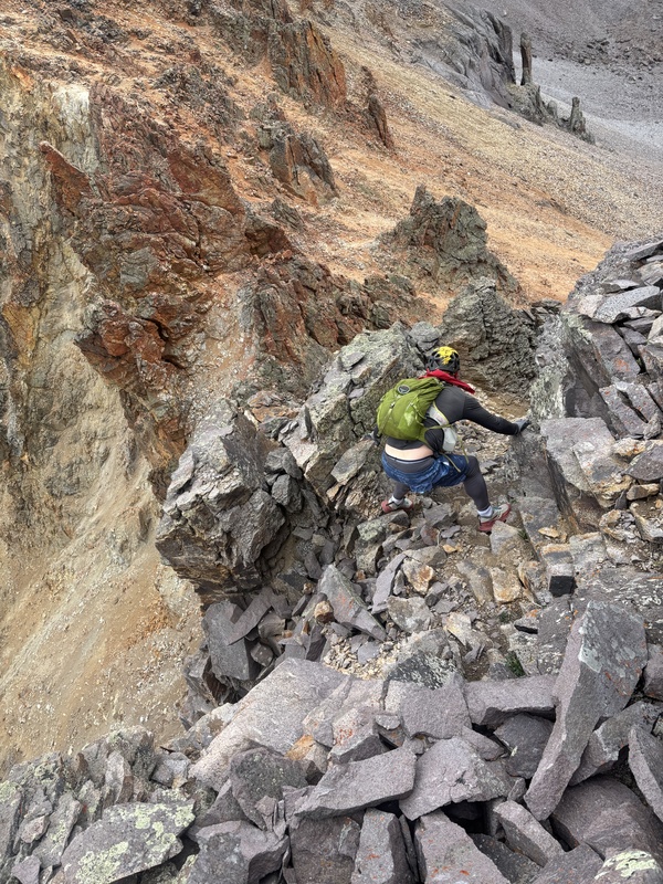
This connecting ridge is rumored to be difficult and sketchy. Dylan and I were surprised to find a social trail in the talus along the better part of it. This led initially around some gendarmes to a major cliff, which we skirted to the left (south) before groveling back up to the ridge via a loose, sandy amphitheater (class 3). We soon encountered another headwall, this one appearing more solid, but took the obvious bypass left up a talus gully (class 2+). Only a short class 3 step punctuated the remainder of the ridge up to the summit of Gilpin.
We continued on down the standard northwest ridge of Gilpin and traversed the lower crest to Blue Lake Pass, which harbored one loose section with exposure (class 3+), but otherwise just seemed to go on forever. Then we went up the southwest ridge of Sneffels and down the standard couloir to Lavender (Scree) Col.
Sneffels to Kismet
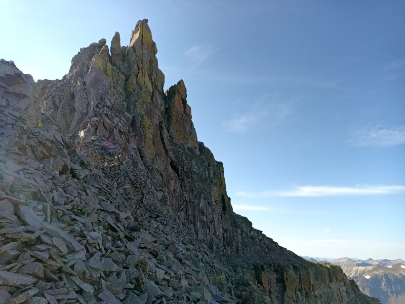
Anything like a proper traverse of the west ridge of Kismet would require full commitment to some of the worst rock imaginable. The first buttress possibly goes, but since the cliff is on the east end we dropped right (south) into an easy scree gully for ~100 feet before scrambling back over a rib and down to a narrow ledge returning to the ridge (class 4). We opted to skip the second buttress and contoured around on its south shoulder, where we met a very nasty fin on the ridge crest. After a couple attempts to circumnavigate this feature on the south side, we were eventually forced well down a loose talus gully to a point due southwest of the summit. From there we enjoyed ~500 feet of excellent scrambling on mostly solid rock to the top (class 4 - 5).
We then descended the standard east ridge of Kismet to Dike Col. I was pretty tired by this point, but since Dylan was feeling good and due to our ever close proximity to the car, decided to at least huff on up Cirque. This we did and then, figuring we could bail from the Teakettle saddle if needed, continued eastward.
Cirque to Teakettle
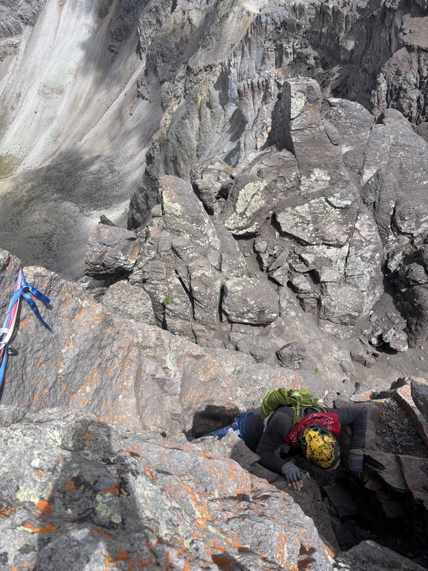
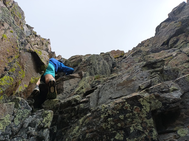
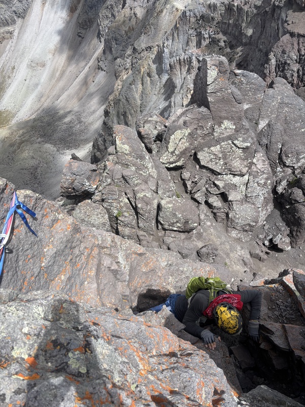
Having previously completed this traverse in the opposite direction, I suspected and hoped we could find an easier route down the cliff above the col. After peeking a few options down at the business end of the ridge, we opted to downclimb a short dihedral (class 5) to reach an exposed shelf on the north face, then turned a severely exposed and loose corner to the east, where we descended a gravel chute (class 3) to the saddle. This sneak is probably less uncomfortable traveling east-to-west, and I think an even looser 4th class variation exists. Either way it barely goes.
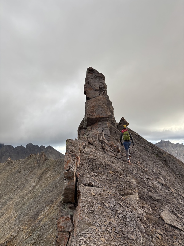
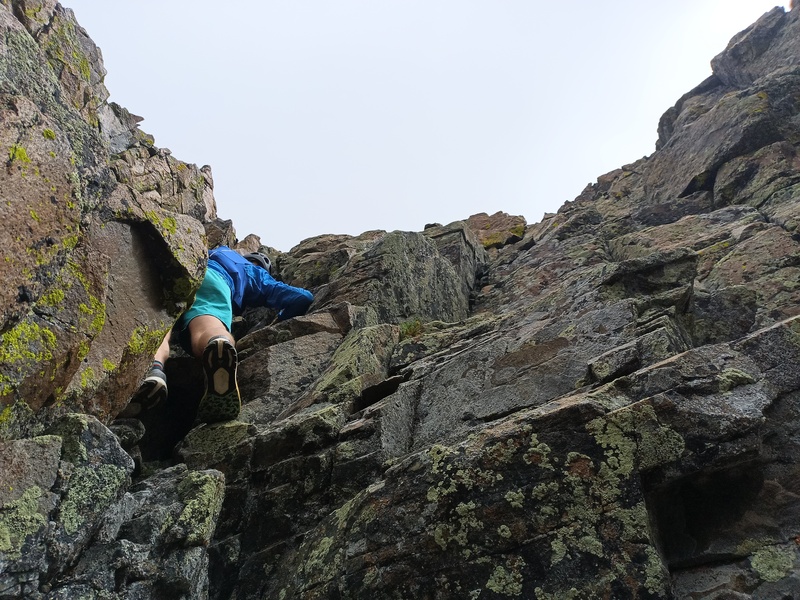
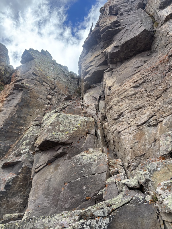
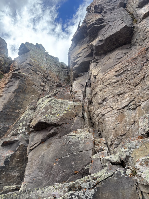
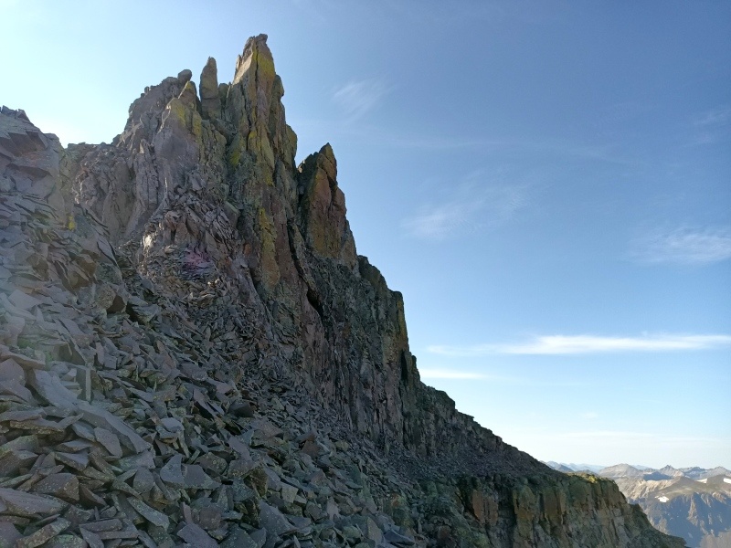
The west ridge of Teakettle looks impossible from Cirque, but consistent with prior experience we found it surprisingly user-friendly up until the final summit buttress. We scrambled up piles of gray and orange flakes along the ridge (class 2 - 3) to the major cliff band, then romped up the fun south-facing gully near the west end (class 3+). Here the imposing summit tower looms ahead. To gain the yellow lichen-infested gash high on the left (north) side of the west face, we skirted slightly right beneath gray death flakes, then angled up the crux broken slabs (~5.6). This felt no easier up than down, especially after a key foothold went goodbye, and I don't believe I'll do it again sans rope. We snagged some rotting tat on our way up the chute, then climbed to the summit of Teakettle where we agreed that Coffeepot and Potosi being known quantities would add only stats to the route, mainly because I didn't have the juice to keep going.
Overall I was surprised by how chill Emma to Gilpin goes, disappointed by the unyieldingness of the west ridge of Kismet (offset by how much of a blast its southwest face briefly is), and pleased to find multiple options, albeit none great, to defeat the eastern cliff band of Cirque and effect a direct traverse between it and Teakettle.
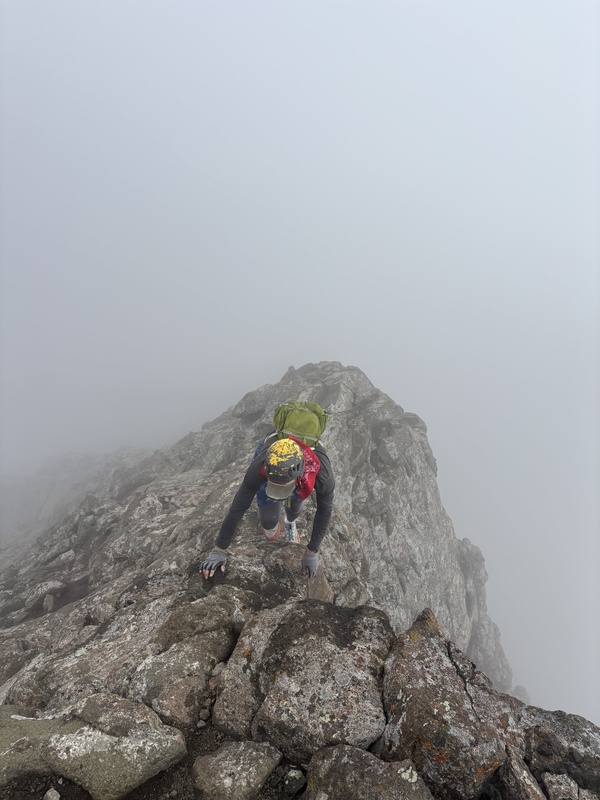
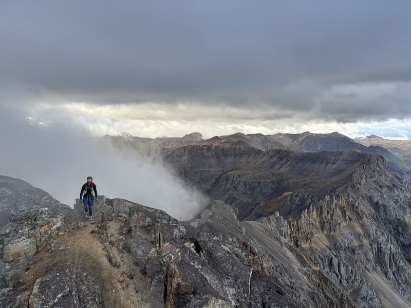
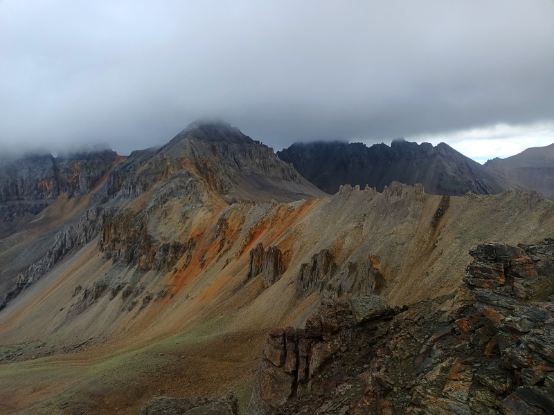
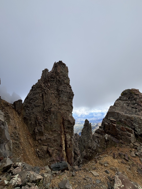
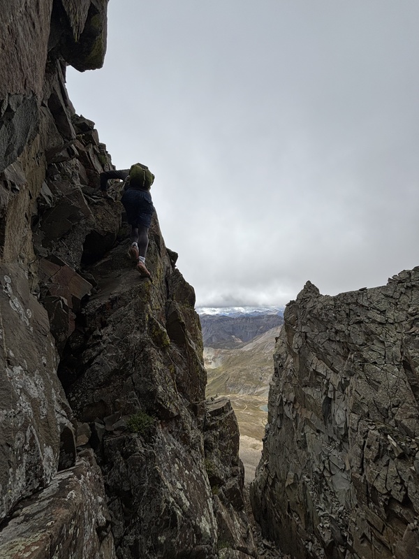
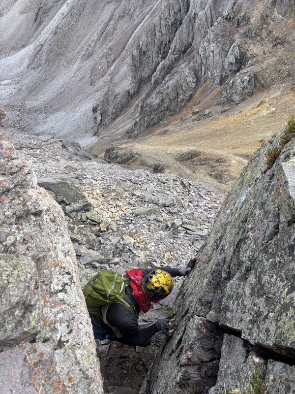
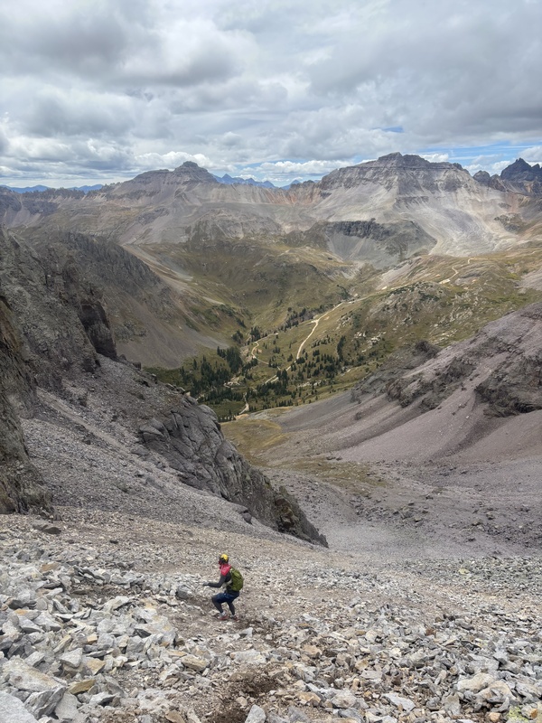
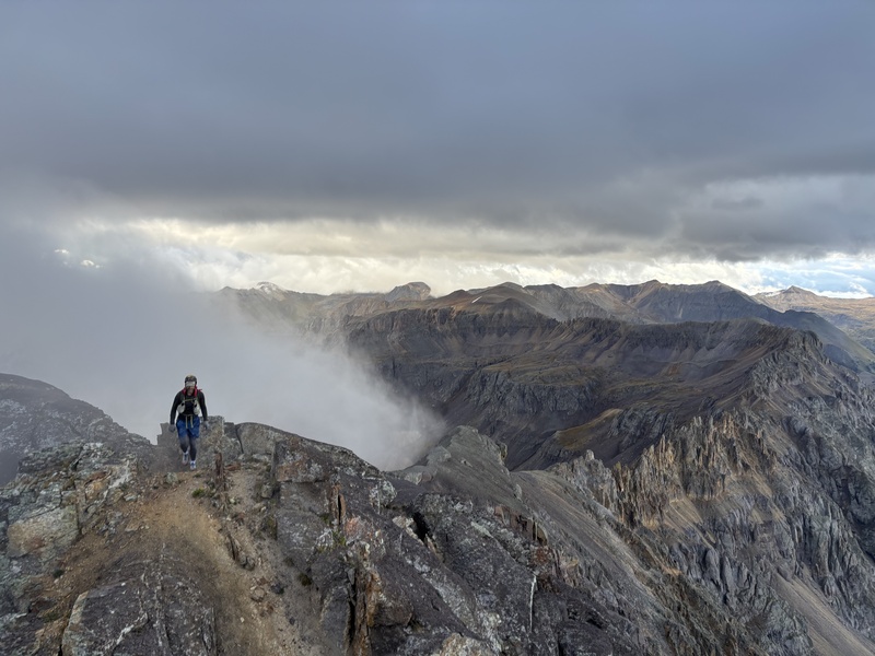
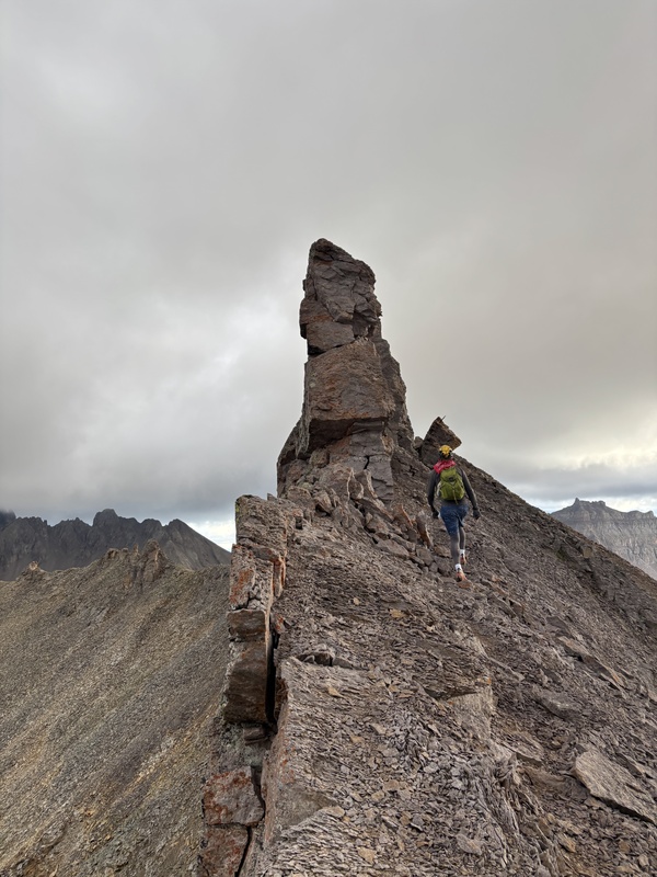
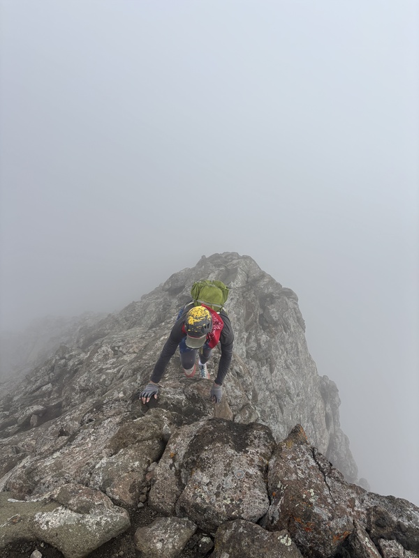
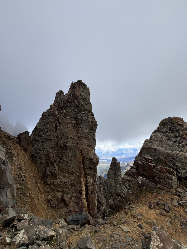
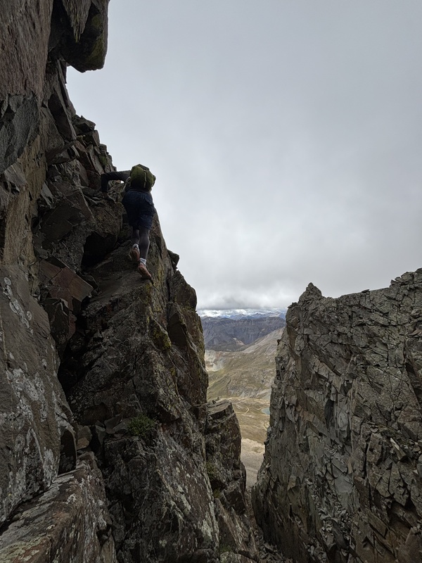
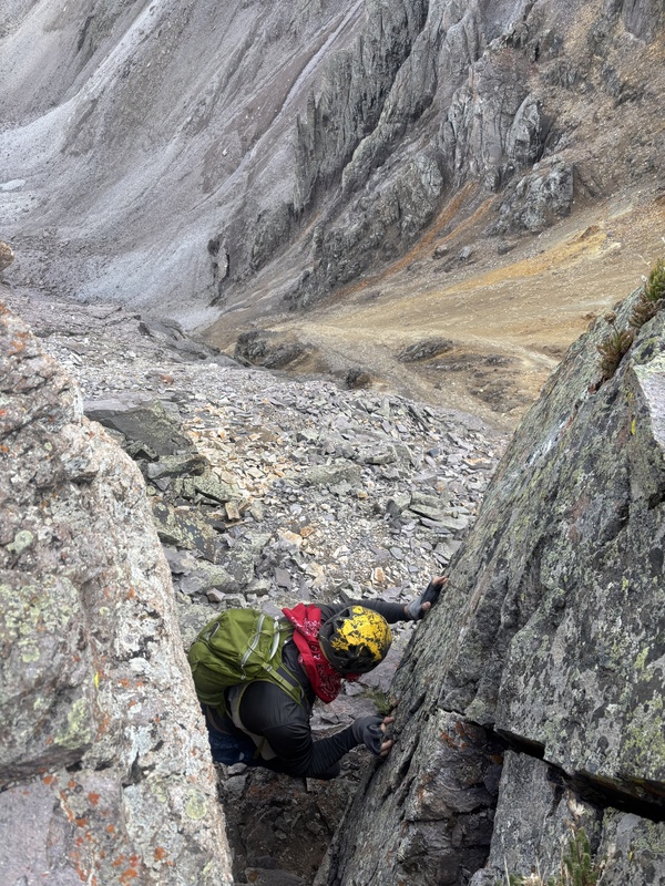
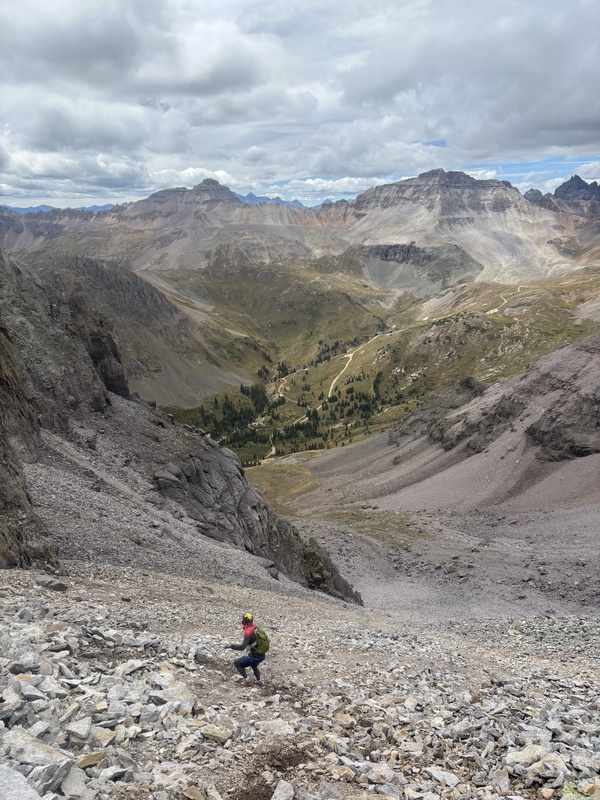
Unfortunately, my phone started at half charge and died around Dike Col, I succeeded in taking almost no photos, and Dylan only captures his partner in grave danger, so this one's all helmets and butts. See here for better photos.
Thumbnails for uploaded photos (click to open slideshow): 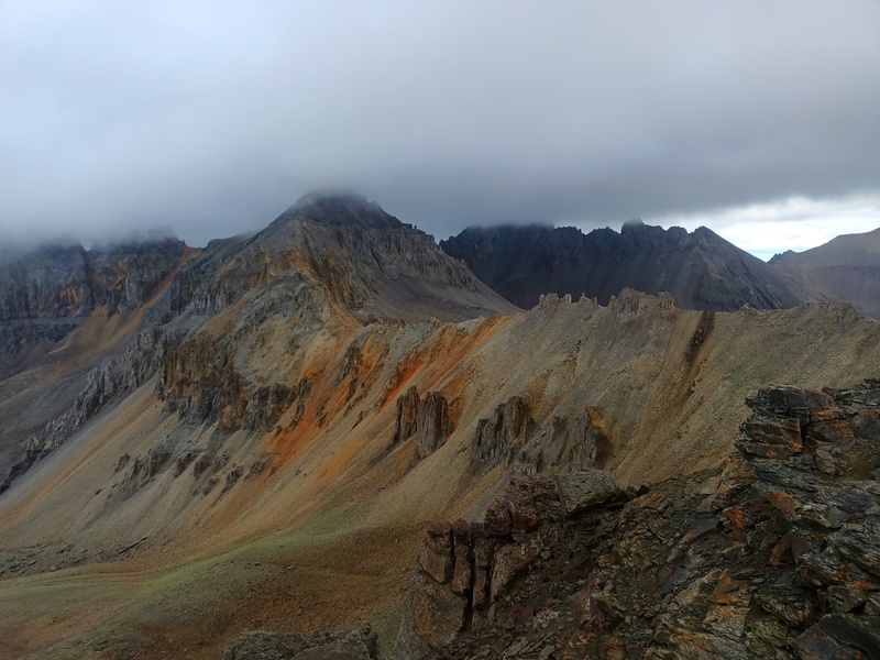
|
| Comments or Questions |
|---|
|
|
Caution: The information contained in this report may not be accurate and should not be the only resource used in preparation for your climb. Failure to have the necessary experience, physical conditioning, supplies or equipment can result in injury or death. 14ers.com and the author(s) of this report provide no warranties, either express or implied, that the information provided is accurate or reliable. By using the information provided, you agree to indemnify and hold harmless 14ers.com and the report author(s) with respect to any claims and demands against them, including any attorney fees and expenses. Please read the 14ers.com Safety and Disclaimer pages for more information.
Please respect private property: 14ers.com supports the rights of private landowners to determine how and by whom their land will be used. In Colorado, it is your responsibility to determine if land is private and to obtain the appropriate permission before entering the property.


