
| Report Type | Full |
| Peak(s) |
North Eolus - 14,042 feet Mt. Eolus - 14,087 feet |
| Date Posted | 09/05/2026 |
| Date Climbed | 09/02/2026 |
| Author | daway8 |
| Purgatory - Not Really That Bad After All |
|---|
|
For years now I've heard many people claim that hiking into Chicago Basin from the Purgatory Flats Trailhead really isn't that bad, despite the ONE-WAY stats being on the order of about 15 miles with ~4,000ft of gain. I always thought they were either crazy or dismissed them as the hyper-athletes that do all this FKT stuff which, while impressive, is totally unrealistic for your average mountain climber who has to go into the office at least 40hrs/week, on top of various other life commitments. But as I'm almost wrapping up my project to complete a 2nd lap of all 58 14ers, I didn't want to just do a plain repeat of the Eolus pair which I didn't manage to repeat on a 2022 trip into the basin with a friend so I decided to give the infamous trek in from Purgatory a try in order to round out my 14er experience (as well as prepare me for other possible Weminuche goals in the future...). I was pleasantly surprised to conclude that indeed, this approach is not nearly so horrible as it sounds. This trip report will give my two cents on what this approach is like and throw in a couple bonus stories. Included in this trip report will be:
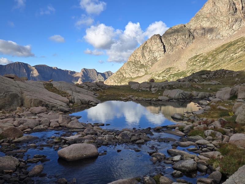
As you might guess from the above, this trip report will be a mix of story telling together with some useful beta and with a heavy reliance on photos to fill in details (so after the story sections and detailed packing section, it'll get less wordy and more picture based). Look for the section headers if you want to jump quickly to a certain section. Stats: Trailhead: Purgatory Flats Trailhead Day 1: Purgatory Flats Trailhead to Chicago Basin campsite at about 10,900ft. Roughly 15mi and 4k gain (depending on campsite) Day 2: Campsite to North Eolus and Eolus (~7.5mi, 3,300ft gain); then campsite to base of West Eolus (~4mi, 2,500ft gain) Day 3: Campsite in Chicago Basin back to Purgatory Flats TH. Roughly 15mi with ~1,500ft regain in the last 4 mi and half of that amount in the last 1 mile) 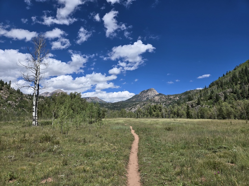
Outrunning Horses Before I get into my personal take on what the hike from Purgatory was like, allow me a little side story which was the highlight of my hike out of the basin. I took an immense amount of delight in the details of what happened here, knowing that I could easily craft an entertaining little boast by highly selective reporting of what occurred. If you're only here for information on what the hike to/from Purgatory is like then you can probably skip this section but if you'd like to share a chuckle (or maybe at least a wry grin) then read on. The following account is absolutely true* The fact that I have to state that (along with the asterisk) should give you some hint of what is about to follow (in other words, if you haven't figured out yet that this is going to be a tongue-in-cheek account, then you're a little slow, which just doesn't go well with a story about outrunning horses, lol). All of the details provided below are accurate enough to be defended in court by an adequately talented (and perhaps slightly unscrupulous) lawyer. In order to properly enjoy this little side story you'll need to set aside your skepticism, refrain from needless intellectual analysis, and just sit back and enjoy the tale. In other words: Engage suspension of disbelief! Now on with the story. So, here I am in the vast Weminuche Wilderness. For 3 consecutive days I have been hiking ~15mi/day with thousands of feet of elevation gain each day with a 35lbs pack on my back as I cross rivers, climb mountains, encounter wildlife and fight against the elements. For the last three days I've had only the fitful, partial sleep one gets sleeping at oxygen deprived altitude with nothing to eat but warmed up dehydrated food and the scant few morsels I could fit into my pack. Thousands of feet of elevation have been gained and lost, then thousands more gained and lost for the next objective. It has been a grueling trek that would chill the very souls of many just to hear of sitting shivering at over 14,000 feet as the clouds envelope you in a white blindness that makes the entire world disappear, except for the few rocks closest to your face. After such an arduous journey, it might be expected that the prospect of having a 3rd day of hiking 15 miles worth of rugged mountain terrain might crush the soul and reduce the body to an aching heap of muscles being dragged along the trail - even more so when you account for the fact that the final 4 miles worth of hiking back to Purgatory involve regaining 1,500ft of elevation in order to return to the trailhead. But that's when our hero showed his true prowess. Not only was he not merely dragging his body along the trail by this point, but after hiking the first 2/3rds of the long return journey and having already started the soul crushing reascent of 1,500ft to the trailhead, it was then that our hero began to overtake a group of horseback riders! Yes, that's right, despite still carrying a full pack and being on foot and going uphill at the end of a 3 day journey he was moving so fast that even though the horses were moving as fast as they could, it was not fast enough to avoid being overtaken by this intrepid mountain climber! So unaccustomed were the horses to encountering a human on foot who could keep up with their pace that it truly frightened them! Who was this man who could outrun horses even while he was more heavily laden than they were?!?! The trail was too narrow to allow for passing, so the rider of the last horse had to call out "can you please slow down, you're moving too fast for our horses - we'll let you pass once we reach the meadows." And so it was, that he was forced to slow his pace in order to not overtake the horses. In fact, on more than one occasion he was forced to come to a complete halt in order to stay out of view of the horses. Upon reaching the meadows, the riders moved their horses off the trail to let our hero pass. The horse closest to the trail stepped back in awe and fear, clearly wondering: "Who is this man who can outrun horses?!" [Epilogue: as stated above, the story you just heard could be defended in court by an adequately talented and sufficiently unscrupulous lawyer since, according to an AI query, "If a witness gives a misleading or evasive answer that is technically true, they cannot be convicted of perjury." If you'd like to hear the rest of the story, and why I've been ROFL during the whole time I've been typing this, then tune back in at the end of the trip report for the reveal all section of "Horses vs Porta Potties - which is faster?"] Packing for Purgatory (how to keep the weight down) Ok, enough silliness, now for some useful information. Last winter I finally learned my lesson on pack weight when I ruined an entire weekend by trying to schlep a 53lbs pack up to Lake Como in winter. I got up there, and camped out successfully despite temperatures in the teens, but I was so wasted by the effort of lugging the pack in that I didn't have enough energy to climb any peaks the next day. So afterwards, I asked AI what the recommended pack weight for backpacking was and it offered a useful starting guideline of keeping your pack to no more than 20% of your normal body weight. To keep the math easy, I rounded up to 180lbs (which I might hit post holidays, lol) which gave me a target pack weight of 36lbs (by comparison, that winter Como pack was almost 30% of my body weight). I originally had intention to catalogue and weigh every last item in my backpack in order to help make hard decisions, but I got down to just below the target 36lbs quicker than expected and lost motivation to put too much more effort into it (though I'll definitely need to work on getting my winter backpacking weight down more). I also had good intentions to do a super detailed inventory post hike but found myself reflexively dumping out my pack upon getting home and putting things in the piles they needed to be in. However, despite not having a 100% accurate list with detailed weights on every item, I was able to reconstruct enough of the list of items I had to cover the vast majority of what I took with me, if not necessarily the weights for every last item. For both my own reference and hopefully some useful reference for others who struggle to keep their pack weight down - here is a mostly complete list of what I did and didn't bring - items listed in random order. Item that I brought, used, and would bring again:
Items that I might look for lighter alternatives for on future trips:
Luxury items that I brought that were worth the weight:
Items that I brought, didn't use, but glad I had:
Items that I brought, didn't use, and would likely skip next time:
Items that I didn't bring and didn't need:
Items I didn't bring that maybe I should have:
Notes on food: Food is often one of the biggest categories for weight on a multi-day trip. Due to the issues listed at the start of this section, I don't have an exhaustive list of my food items but here's a general summary.
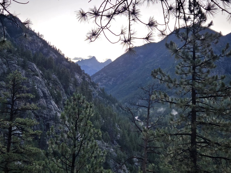
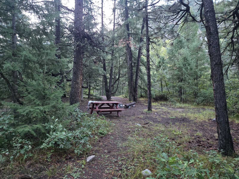
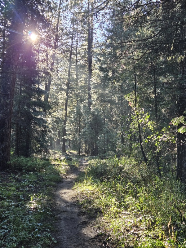
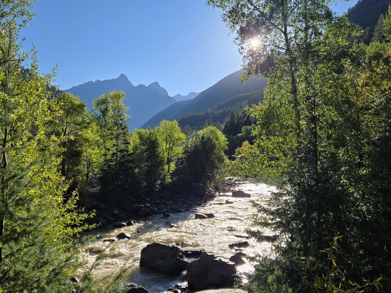
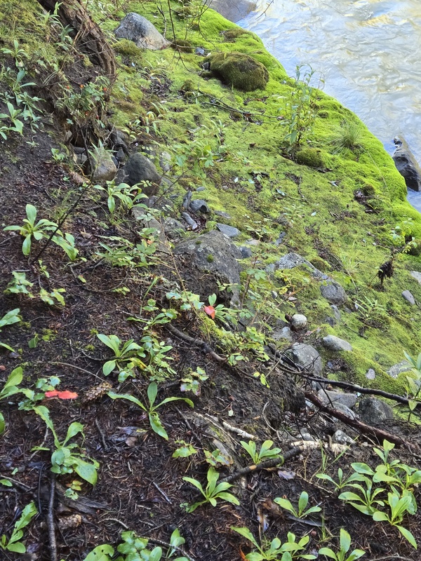
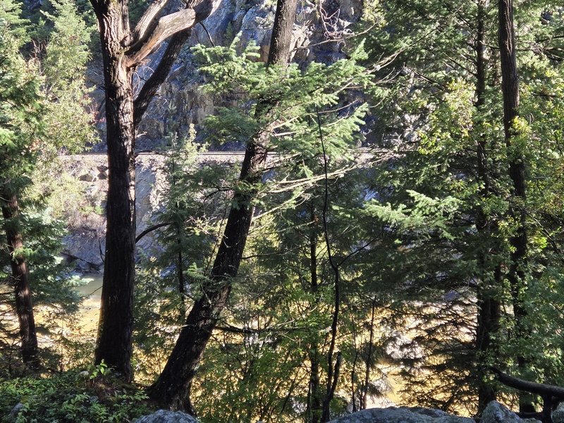
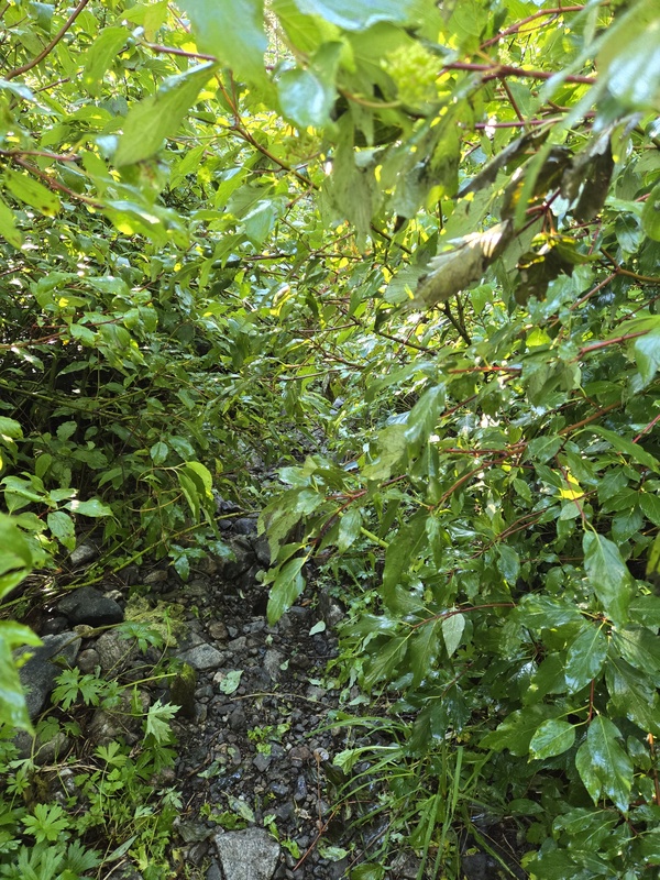
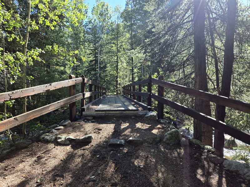
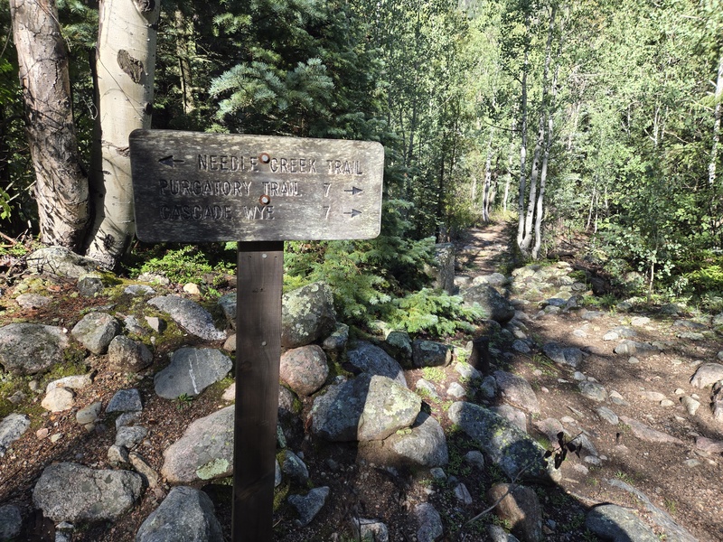
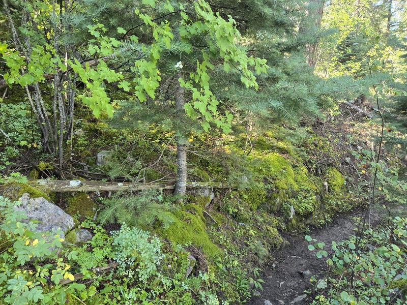
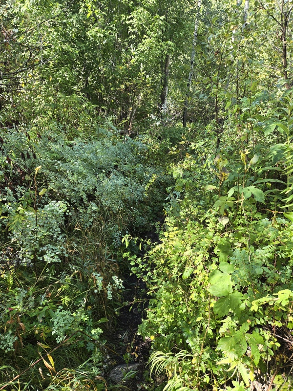
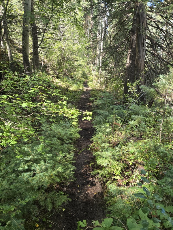
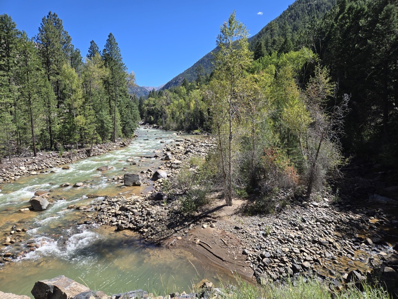
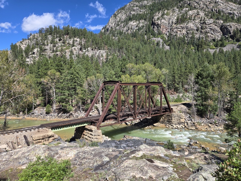
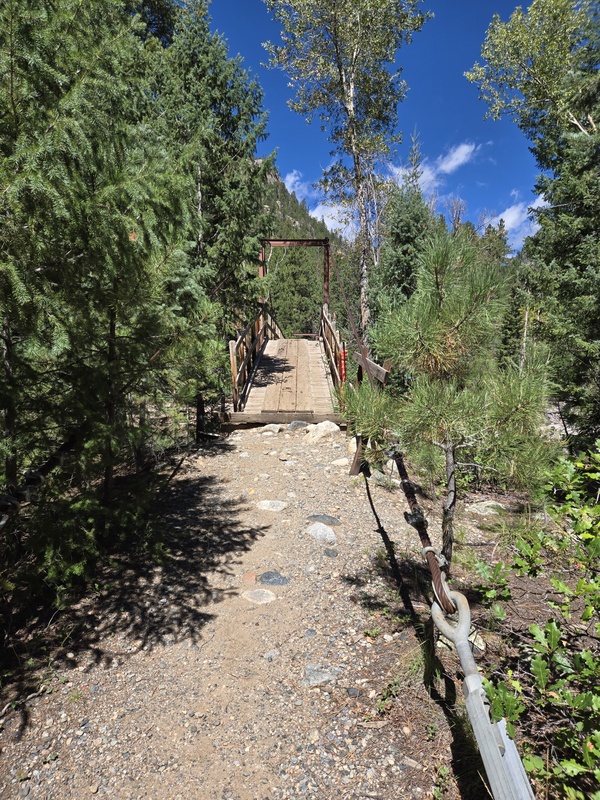
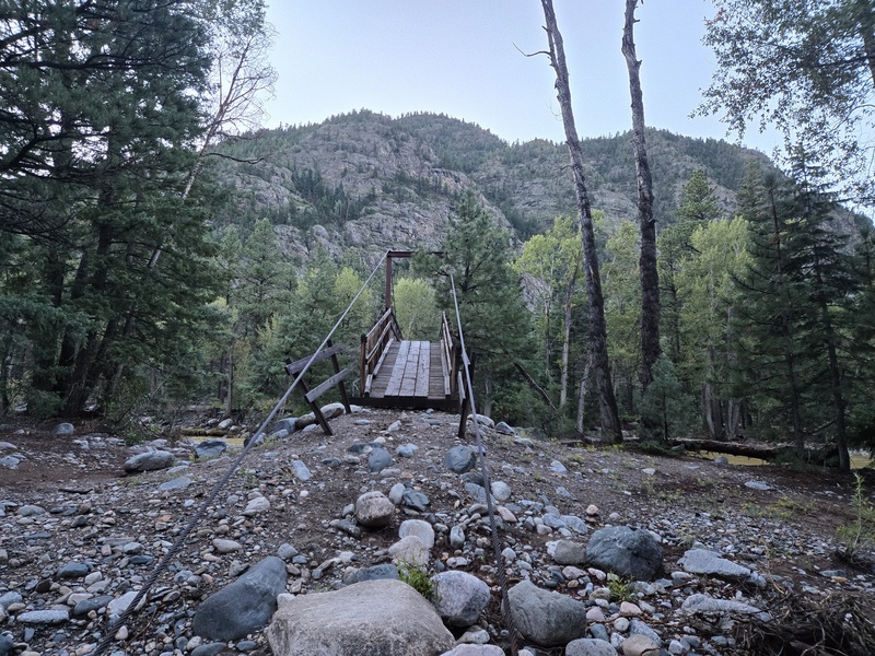
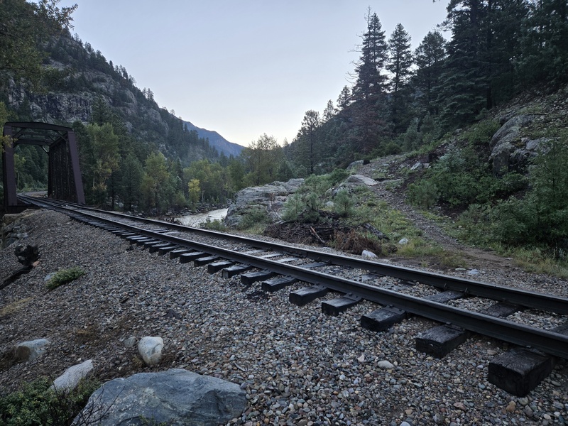
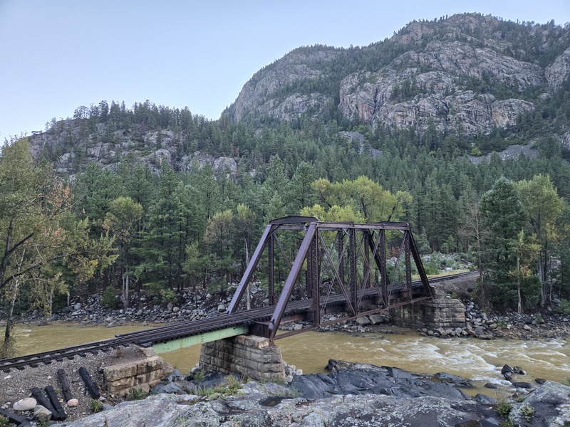
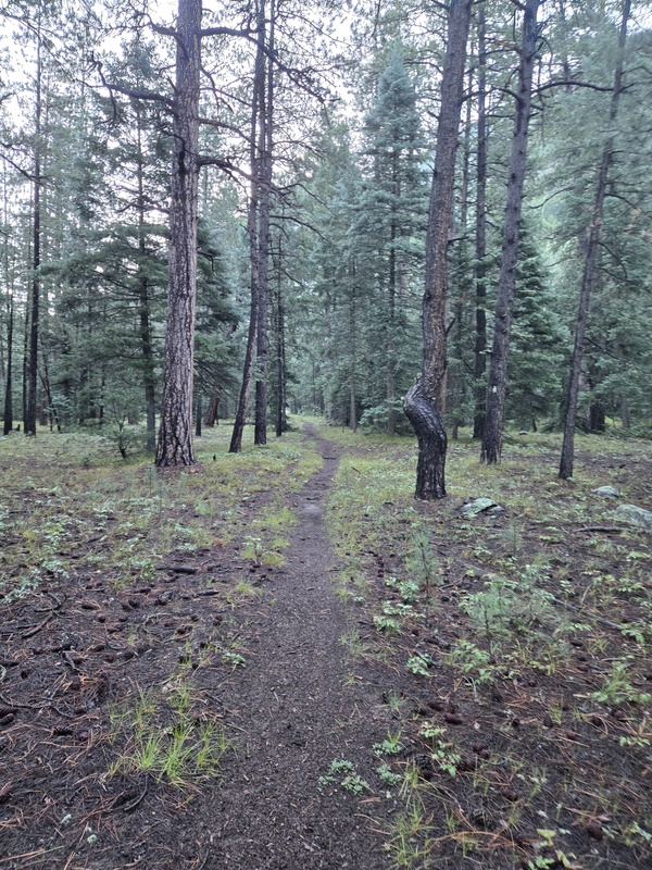
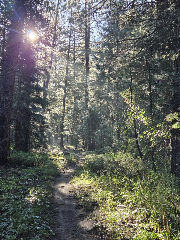
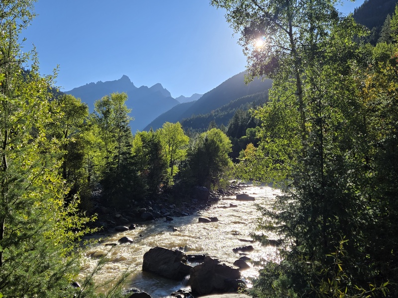
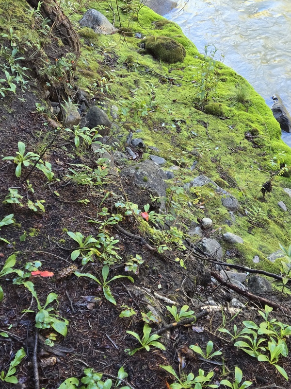
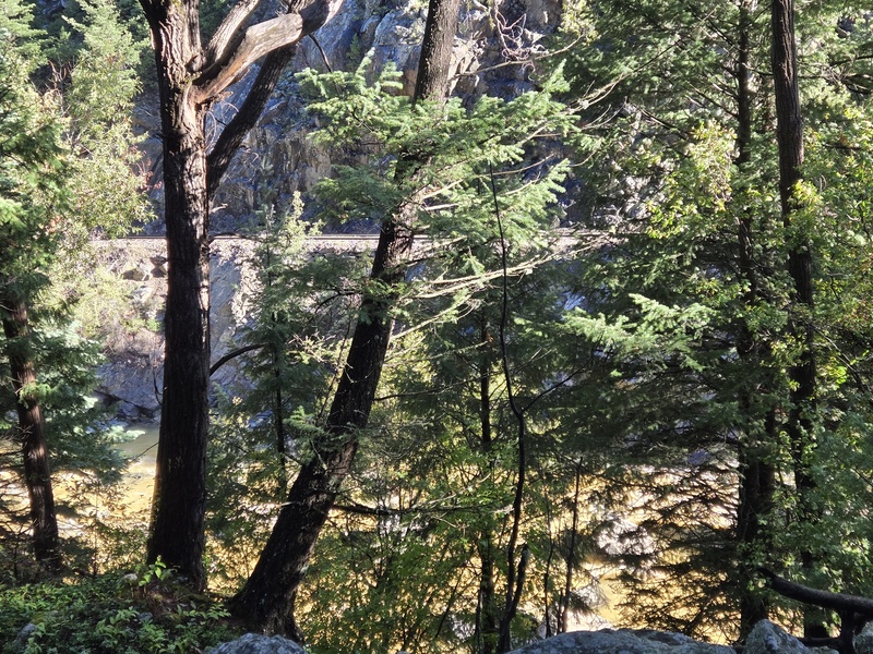
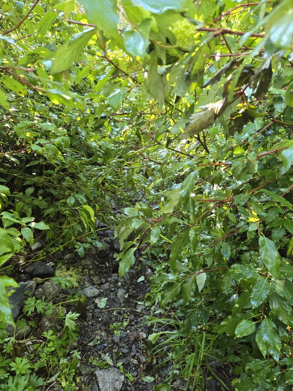
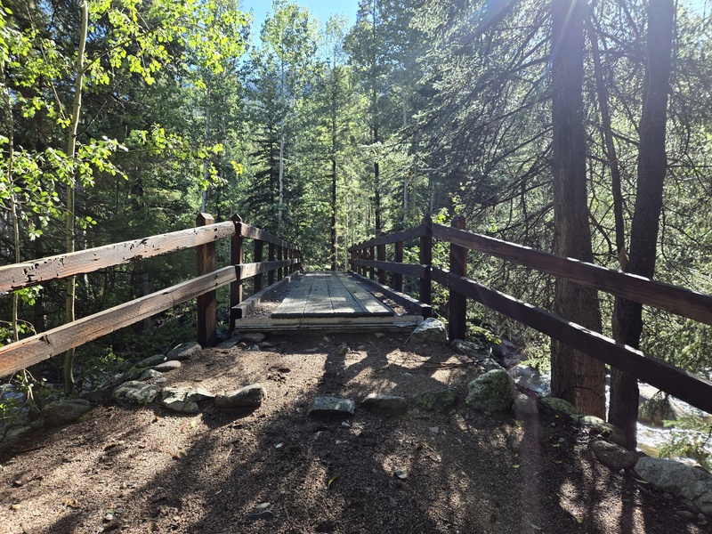
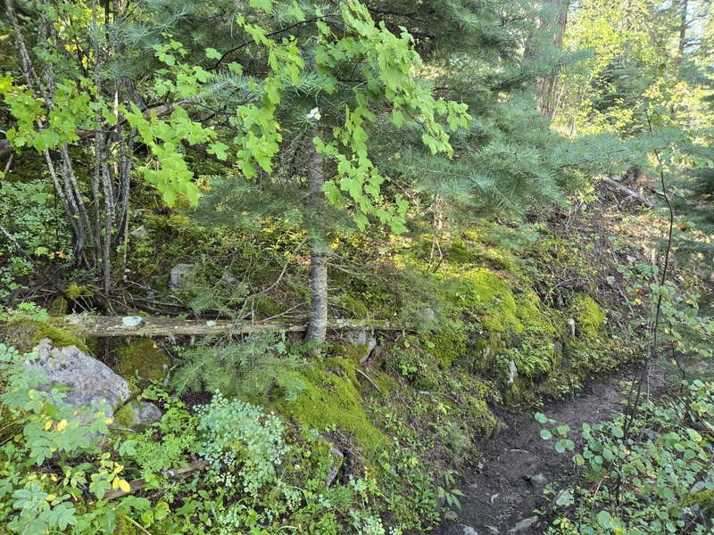
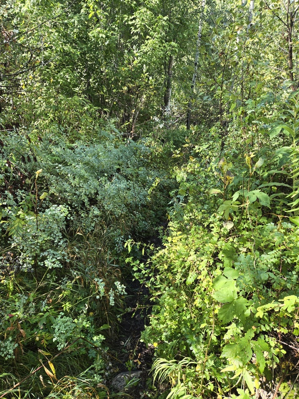
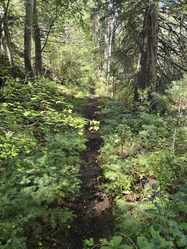
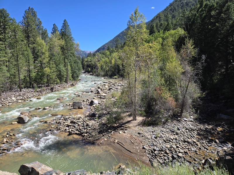
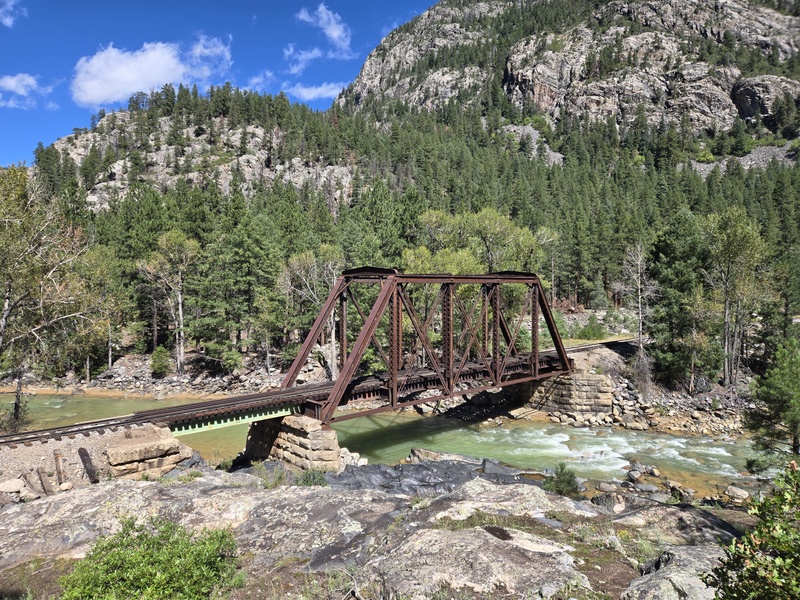
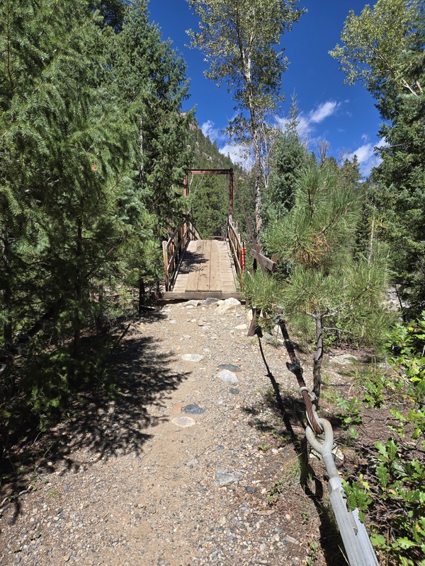
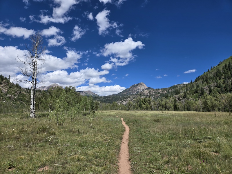
I was significantly concerned before the trip that I was going to run out of food, be too hungry, etc. I was also very concerned that it would take me more than 3 days to do this trip and that I might have to break up the hike out into 2 days. All of those worries were unfounded. On the hike in, I got to Chicago Basin much earlier than expected and so worried I'd need to cook a lunch and a dinner but I was tired enough to already be in my sleeping bag by 3:40pm (which is unheard of for me). On the main hiking day, as is typical for many of my hikes, I eat breakfast, hike through lunch (eating trail food on the fly) and then fix up dinner (or on a typical hike hit either a restaurant or gas station hot dog on the way home). On the hike out, not only did I not need to split the hike out into 2 days, but I got back to the trailhead early enough to drive 4 hours or so to Glenwood Springs and have enough time to spend a couple hours relaxing in the impressive new array of hot springs with added waterfalls, high powered hot water jets (strong enough to almost knock you off your feet), etc. So overall, I came out with 1 extra camp meal and almost a full day's worth of trail food plus a little bit of other items as described. This of course could vary based on the nature of the hikes involved, etc but I could possibly go slightly lighter on food next time and be ok with the current selections, or explore lighter weight options to shed more weight. Pictorial Overview of Purgatory As the title suggest, for this section I'm just going to give you an overview description of the route and then let the pictures tell the rest of the story. When I asked AI to summarize the trail profile for me it said the first 4 miles have a drop of about 1,500ft then it's rolling but relatively flat for roughly 5.5-6.5 miles and then uphill for the final 5 or 6 miles (depending on how high you camp). This was basically accurate but the most notable drop is in the first mile and the "relatively flat" section should be taken with a grain of salt. A pretty good portion of the trail is decently shaded but there are some stretches that are fully sun exposed for parts of the day, although overall I'd say there's far more shade than lack thereof. Another important thing to note is, if it just rained the night before (which happened for me both coming and going) then there are several sections where the bushes/plants/weeds are dense enough that you will get very wet pushing through them even if it's not raining while you're hiking. So wear something waterproof especially for your legs unless its warm enough that you don't care about getting wet. Some people complain about the lack of expansive views. While it's true that you're often down in the woods and only occasionally get a wide sweeping vista to gaze at, much of the terrain you're hiking through is a beautiful lush green (or at least was in early September when I hiked it) which I find to be much more beautiful than the barren rock of so many 13ers/14ers. One last note is that, at ~15mi and 4k gain, these are similar stats to a great many 13er/14er hikes but the key difference is those hikes always have you summit at the halfway point and then come down so the gain typically occurs almost entirely in the first half (except for Holy Cross and a few routes with notorious regain). But for the hike in from Purgatory you stretch that same gain over the entire 15 miles and so it is overall much more mellow on average. It's still worth working your way up to this length of hike (that's part of why I did the Adams Family Traverse prior to this) and it's absolutely critical that you keep your pack weight as light as possibly (the 20% of your bodyweight tip is a great target) but this hike really isn't nearly as bad as I expected it would be. 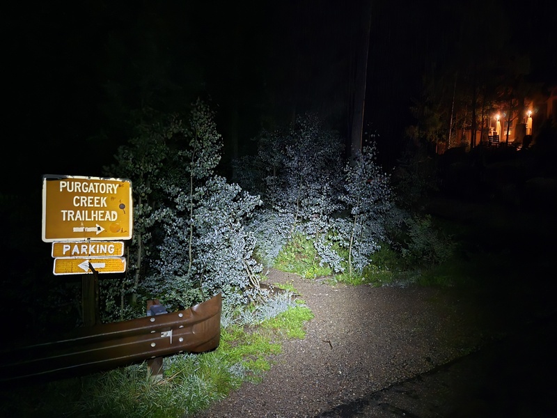
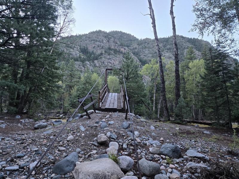
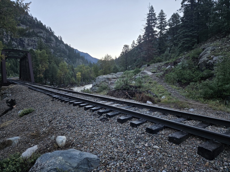
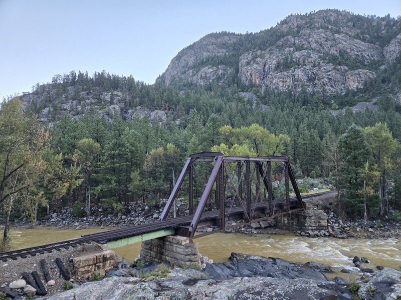
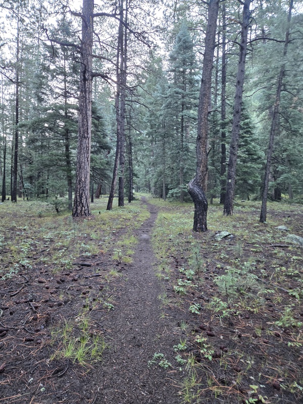
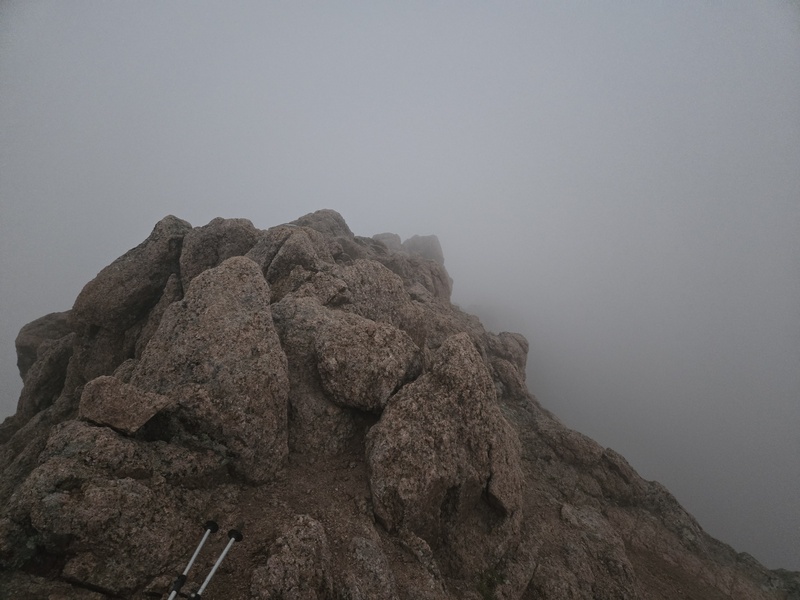
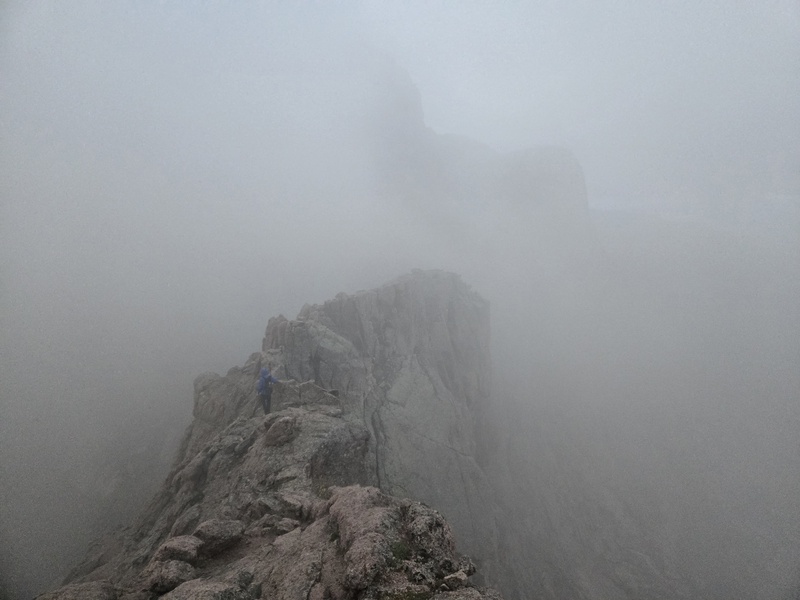
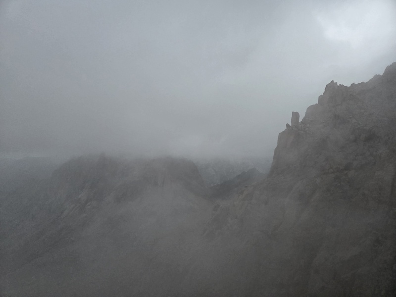
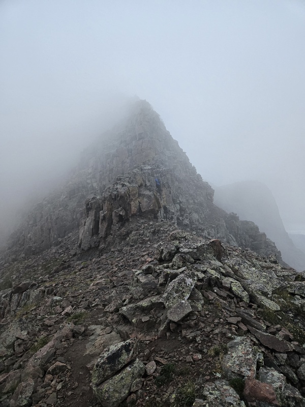
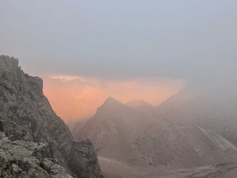
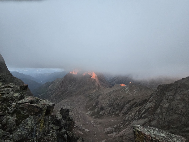
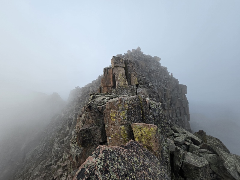
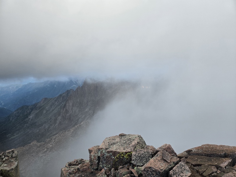
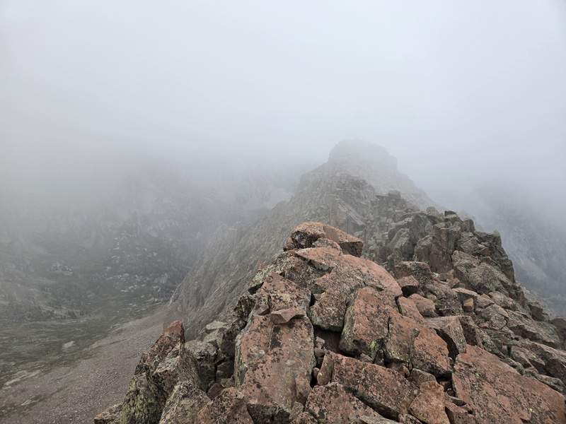
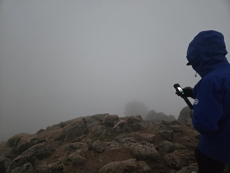
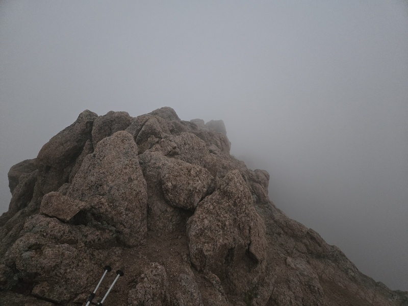
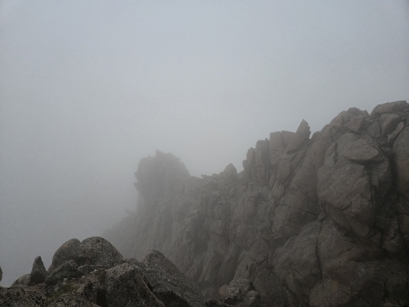
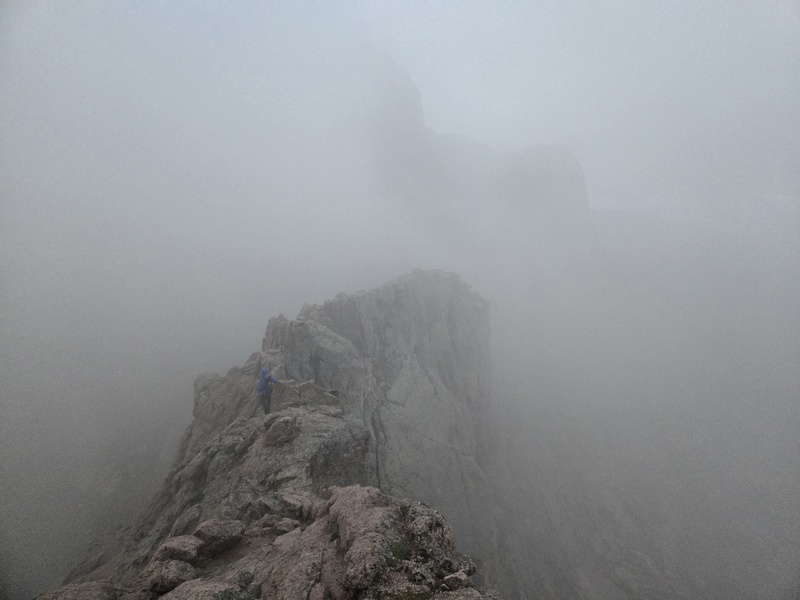
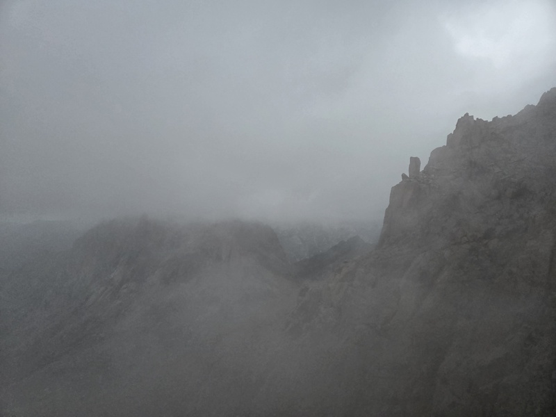
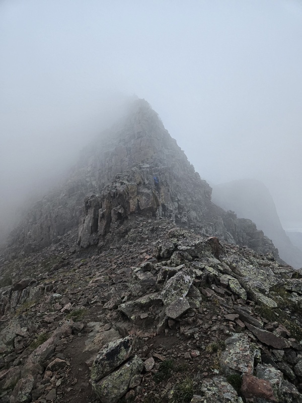
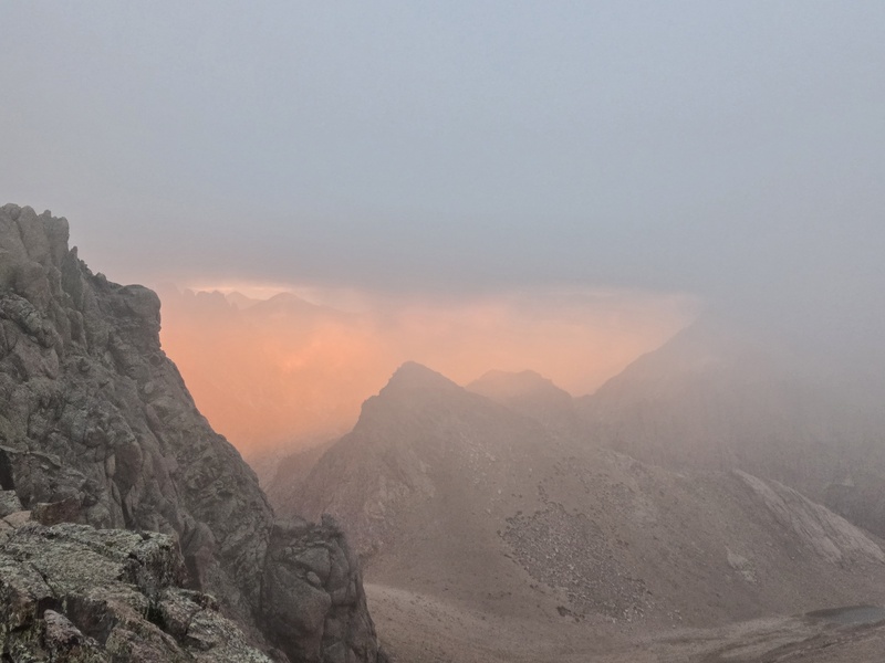
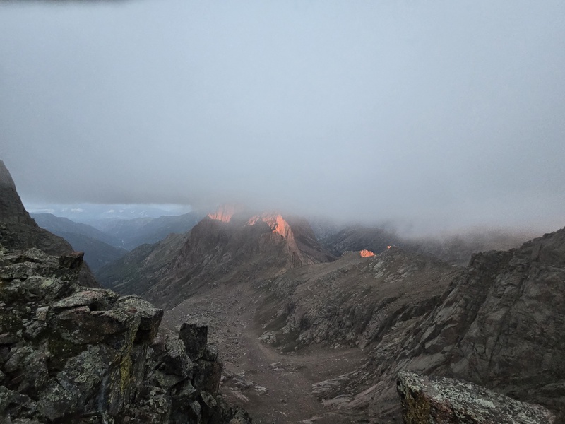
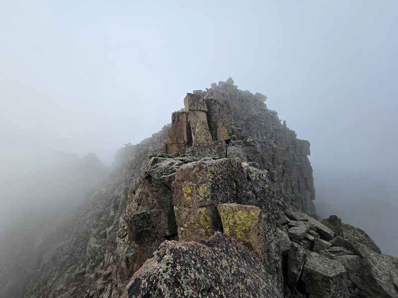
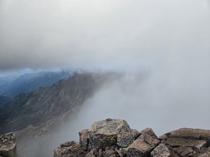
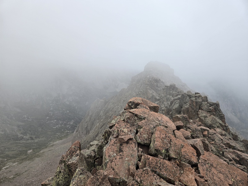
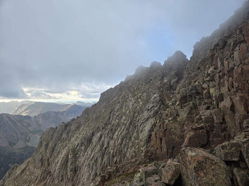
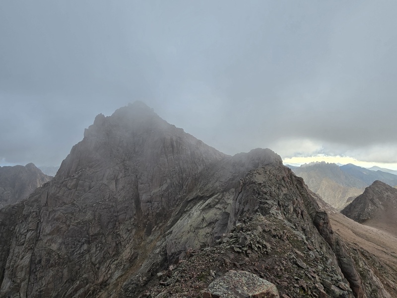
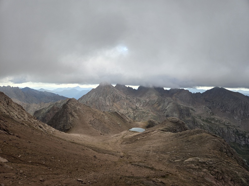
Fogged in on North Eolus So as for the Chicago Basin peaks themselves, I've already written previously about them, as have many others. The only tidbit I'll add is that this time I did Eolus by the ridge direct instead of the standard route winding and weaving up the face. I liked the ridge direct MUCH better!!! It was mostly class 3 and 4 with possibly an isolated move or two of low 5th, and the rock was pretty solid overall (on any peak there's always loose stuff to be found but, if you're paying attention you should be able to find plenty of solid holds). Other than that, the only thing of note was that as I approached the summit of North Eolus a crazy deep fog rolled in to where visibility shrank to maybe 10ft or so and stayed that way for almost 2 hours! That was crazy. A guy I believe was named Alan Weisman (sp??) had passed me near Twin Lakes and chatted briefly before shooting past me. When I reached the summit of North Eolus he was already there and wanted to wait for things to clear both to get some good footage with his 360 camera and also for safety of climbing ridge direct on Eolus (I reached the summit of North Eolus at 4:42am when it was pitch black as well as crazy foggy - I had woken up a little after midnight and been unable to get back to sleep so I decided to eat breakfast and hit the trail at 1am). I decided I also wanted to be able to actually see things as I climbed so I waited on the summit with Alan and we swapped all sorts of climbing stories, plans, etc. It was then I really wished I had brought my puffy. Instead I did my best to curl up under my pack cover with all available layers on. Once we got near to sunrise it finally started to get light enough to take the below photos. The sunrise was out of this world phenomenal - but I nearly wept when I got home and saw how pitifully poor of a job the camera did at capturing that breathtaking fog-shrouded sunrise - almost all of the color was drained out of the photos. It was a sickening shadow of the flaming brilliance I saw with my own eyes but it'll have to do for here. 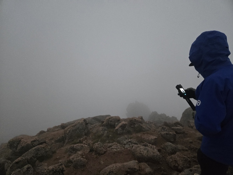
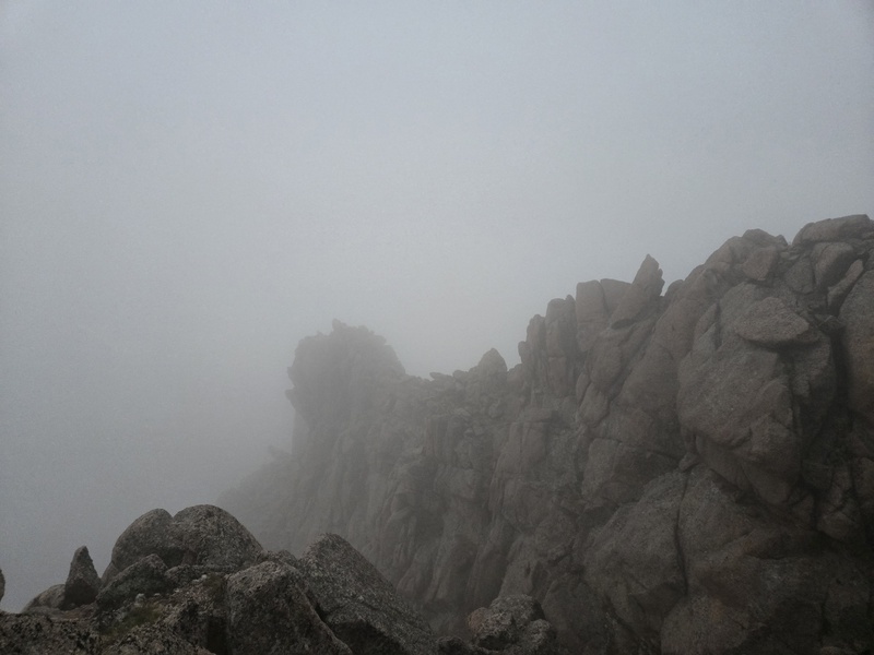
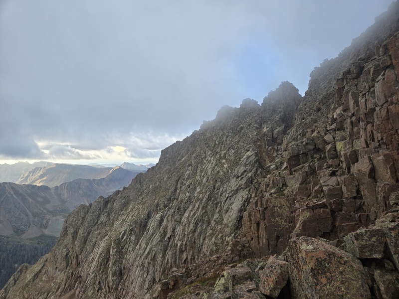
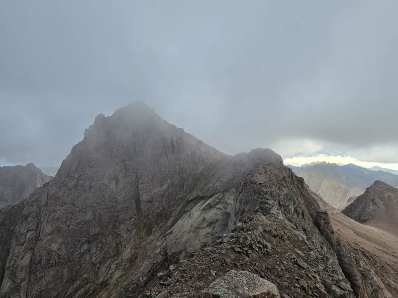
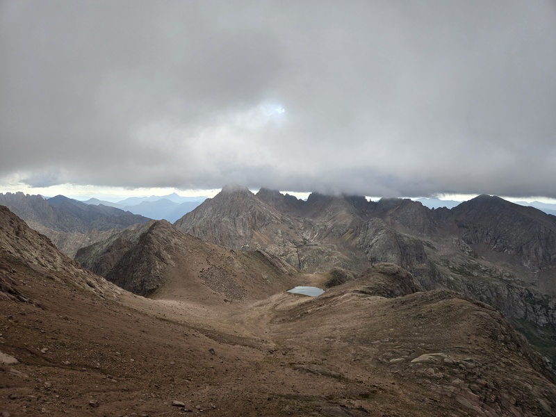
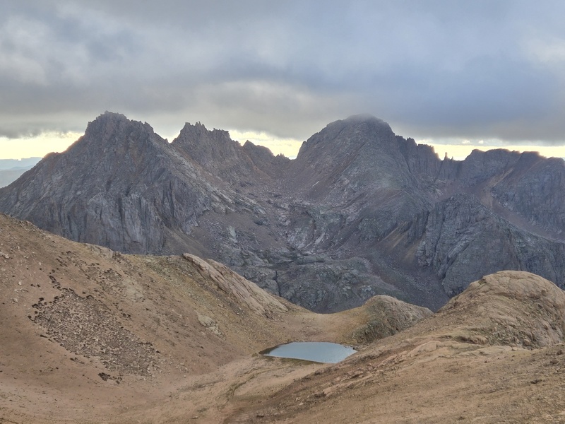
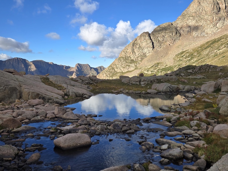
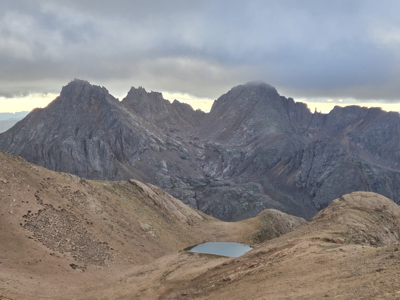
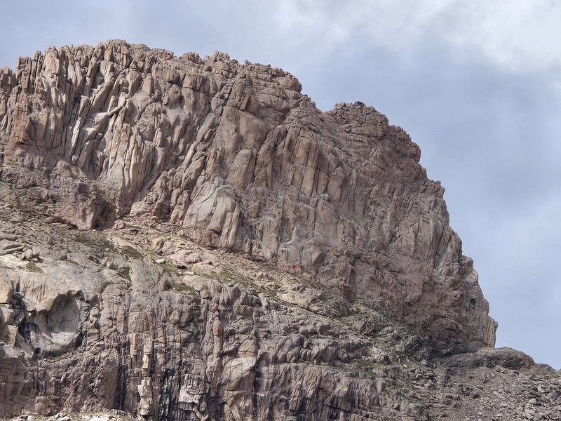
A Glimpse of West Eolus This is just a quick teaser for the next trip report coming soon. Spoiler: I didn't have time to summit but I did collect a large number of photos from different angles and with various lighting which did in fact give me a small glimmer of hope that the rumors of a class 4 route up this remote peak might just possibly be true... 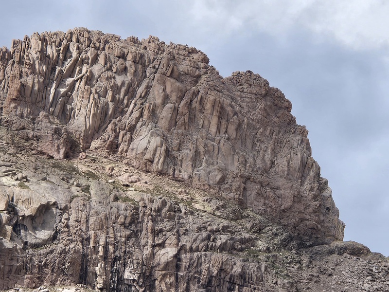
Horses vs Porta Potties - Which are Faster? So, to finally wrap back around to the hilariously delightful opportunity I had to be able to boast that I could outrun horses even with a 35lbs pack on my back while nearing the end of 3 days of hiking 15mi/day with thousands of feet of elevation gain per day and during the final 4mi section where there was ~1,500ft of regain... Like I indicated in the initial section of the report, I had to be highly selective with which portions of the facts I presented in order to make this sound really impressive (wow, you can outrun horses, even while going uphill with a heavy pack on and after multiple days of hiking?!) I mean it does sound pretty impressive with that highly selective, intentionally misleading retelling of events! But if you've ever actually hiked this trail yourself you've likely already seen through my clever subterfuge here. Even though the story is not completely devoid of maybe at least a mildly impressive element for a non-athlete, non-FKT kind of guy like me, it's not nearly as impressive as what the imagination could come up with if only given my original retelling. So, here's the special behind the curtain look at what actually happened. 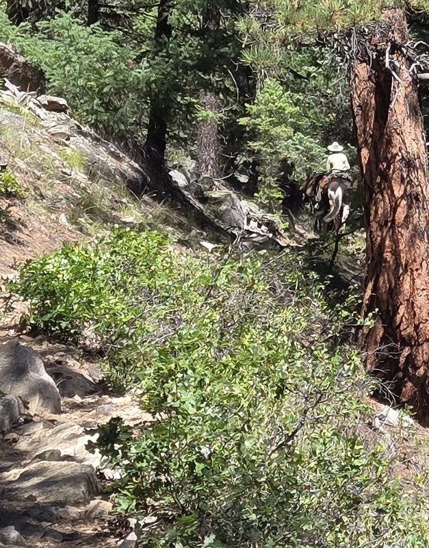
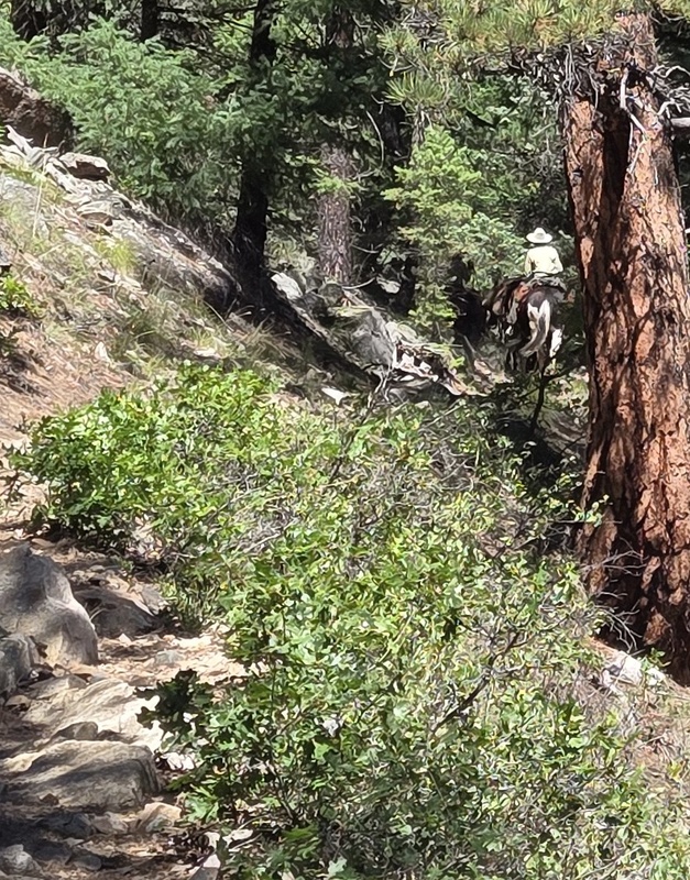
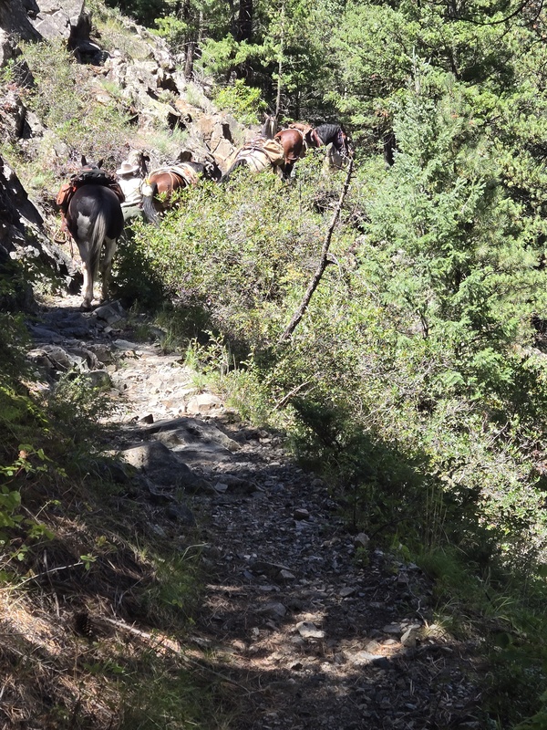
So there were indeed horseback riders going along this trail - 3 forest service ladies riding horses plus two other horses without riders. I had first seen them when I was hiking in and they were working on hauling out reportedly 1,000lbs of trash from land the forest service had recently acquired on which past tour companies allegedly left tons of old tarps, etc. They had hauled all that trash out to the train for disposal and then had started the ride back to Purgatory (where I had seen their horse trailer parked). They had passed me along the trail (actually we leapfrogged a couple of times as they stopped to water the horses, etc) and then when we finally reached the uphill section in the final 4 miles I caught up to them again. But obviously this was not man vs horse in open terrain where the horses would have an obvious enormous advantage. This section was quite steep, very narrow and very rocky in some spots with certain areas right on the very edge of a large dropoff. On such uneven, exposed terrain, it was not safe for them to stay mounted on the horses and so they dismounted and walked the horses over the tricky terrain, having to also deal with not only the horse they had been riding, but also handle the two other riderless horses. 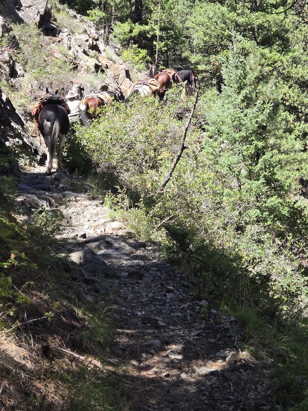
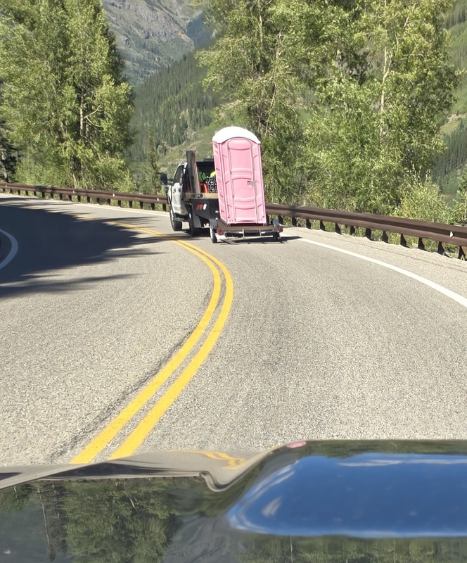
So obviously, under these conditions, the caravan of horses whose riders are now leading them on foot is going to need to move much slower than a typical hiker (they were brough in for their ability to handle hauling the huge weight of the trash, not for being able to race along in an open prairie like in some Western). I had been intentional in staying back at least 20-30 feet since I knew horses could be uncomfortable around strangers, but apparently that was not far enough, thus the request that I slow down and try to stay out of sight until we reached the meadows where I could safely pass them. So really, pretty much anyone hiking that trail could very likely have gone faster than the horses were able to do over that terrain, but I still found it immensely entertaining knowing that I could - in a semi-legitimate fashion - make the claim that I could outrun horses even after 3 days of climbing in the mountains with a heavy pack (and yes, my semi-scrupulous lawyer might have to do some clever orating to explain that, on the middle day, most of the weight was left at camp, and by the third day the pack was probably several pounds lighter than when I started etc, etc - but the original tale remains essentially accurate with adequate asterisks, lol) However, as impressively (or not so impressively now that you know the details) as I could outrun horses, I was not able to outrun the pink porta potty on the drive north and got stuck behind this thing until I made it to Silverton! 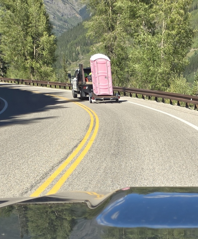
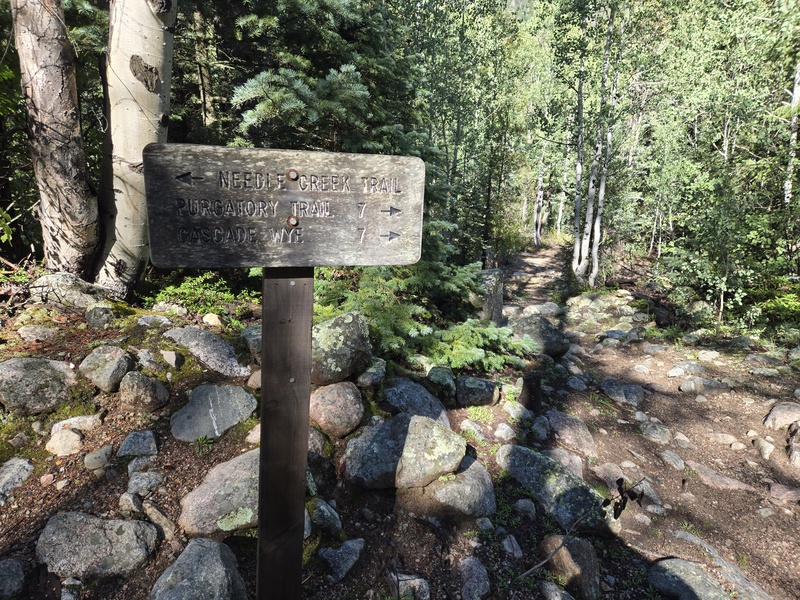
My Times As usual, I'm listing my times so you can get some feel for the spacing between objectives and, after figuring out how much slower or faster you are than me, you can guestimate your own required time. Tuesday Sept 1 5am start from Purgatory Flats trailhead 6:45am at the bridge/picnic tables ~4.22mi in 9:32am 9.61mi 8,304ft crossed bridge right before joining Needleton Trail 10:31am Crossing bridge over New York Creek 12:48pm found campsite at 10,915ft at 14.65mi from Purgatory Flats TH 3:40pm already in my sleeping bag after filtering water, cooking eating meal, etc Wed Sept 2 Since I went to bed so early - didn't actually sleep for a good while, but rested plenty - by a little after midnight I was wide awake. 1am start hike from camp 1:27am turnoff sign for Twin Lakes 3am passing Twin Lakes as Alan passes me 4:31am at saddle with a very brief burst of graupel 4:42am North Eolus summit - totally dark and totally enveloped in dense fog limiting visibility with headlamp to maybe 10ft or so. 6:30am Alan and I both finally decide to proceed as it starts to get light, even though the fog is still crazy dense. 7:03am Eolus summit (after scrambling ridge direct but pausing for sunrise photos that utterly failed to capture its beauty) 7:47am back at the saddle 8:27am Twin Lakes 9:28am back at the tent 10:20am - ____ (sorry this information is classified. See the West Eolus files if you have adequate security clearance to view them when they are released) Thurs Sept 3 8:10am start hike after after sleeping in 9:12am New York Falls 9:45am Purgatory turnoff/bridge 11:52am back at the bridge crossing the river - pause before uphill 12:07pm pant legs zipped off, starting uphill portion of return hike 1:27pm more notable uphill for the last mile or so 2:02pm back at Purgatory Flats Trailhead!! GPS Track(s) on Google Maps (made from a .GPX file upload):
View Map
Thumbnails for uploaded photos (click to open slideshow): 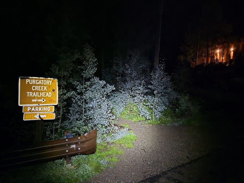
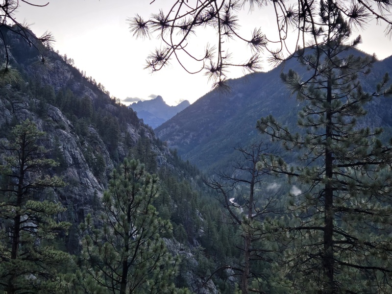
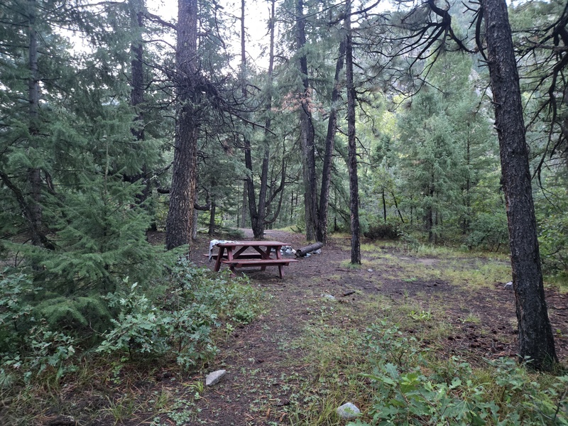
|
| Comments or Questions | |||||||||
|---|---|---|---|---|---|---|---|---|---|
|
Caution: The information contained in this report may not be accurate and should not be the only resource used in preparation for your climb. Failure to have the necessary experience, physical conditioning, supplies or equipment can result in injury or death. 14ers.com and the author(s) of this report provide no warranties, either express or implied, that the information provided is accurate or reliable. By using the information provided, you agree to indemnify and hold harmless 14ers.com and the report author(s) with respect to any claims and demands against them, including any attorney fees and expenses. Please read the 14ers.com Safety and Disclaimer pages for more information.
Copyright: Route information, text, risk factors, maps, GPX files, charts, photos, 14ers.com-created map imagery, flythroughs, and other content provided in this route description are copyrighted by 14ers.com and may not be copied, reproduced, republished, distributed, modified, or used to create derivative works without prior written permission.
Please respect private property: 14ers.com supports the rights of private landowners to determine how and by whom their land will be used. In Colorado, it is your responsibility to determine if land is private and to obtain the appropriate permission before entering the property.



