
| Report Type | Full |
| Peak(s) |
Granite Peak, MT - 12,806' Crazy Peak, MT - 11,244' Mt. Washburn - 10,251' |
| Date Posted | 09/02/2026 |
| Date Climbed | 08/31/2026 |
| Author | Veory |
| A weekend in Montana |
|---|
|
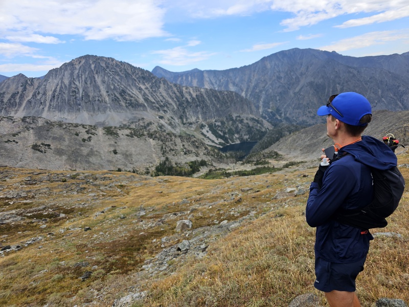
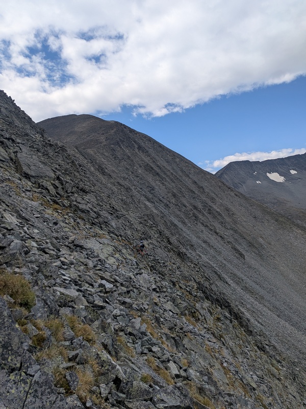
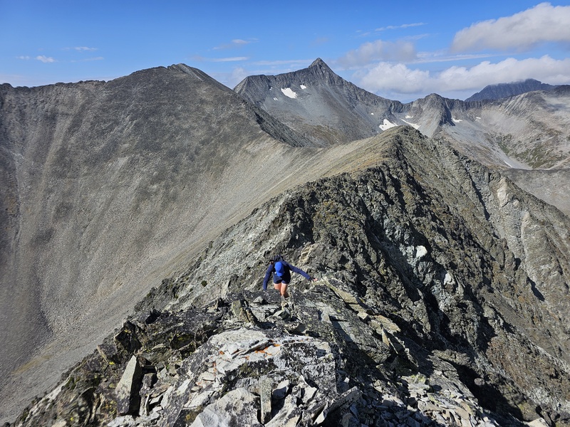
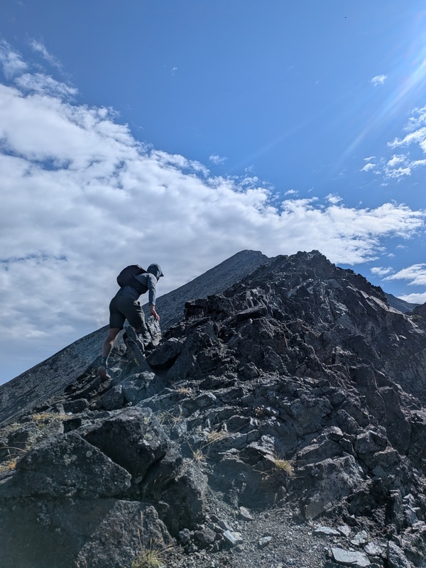
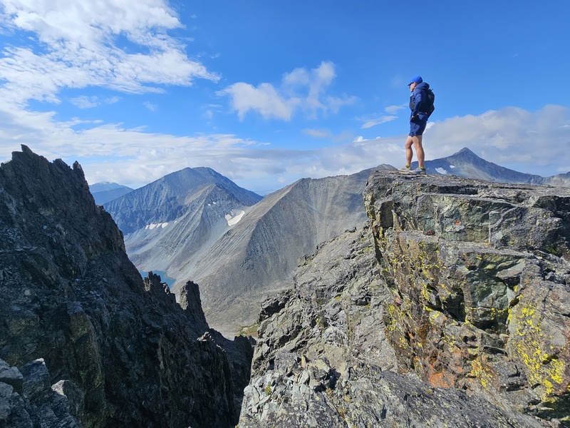
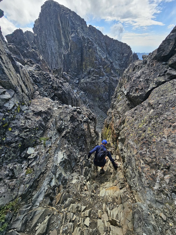
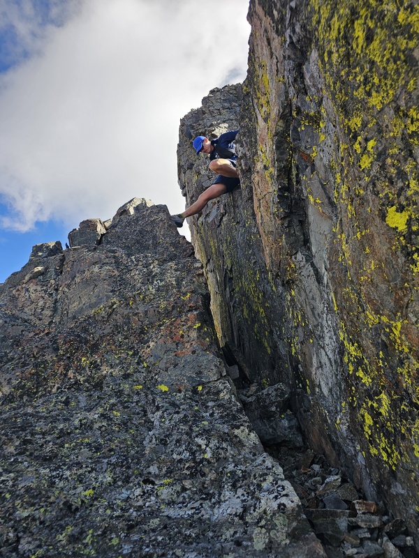
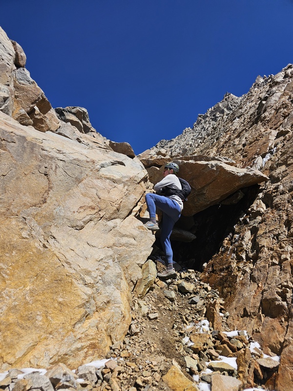
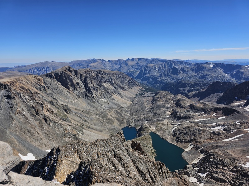
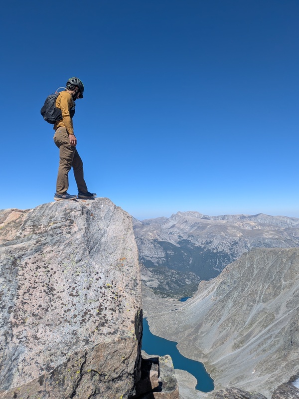
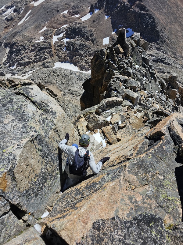
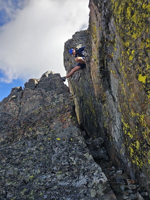
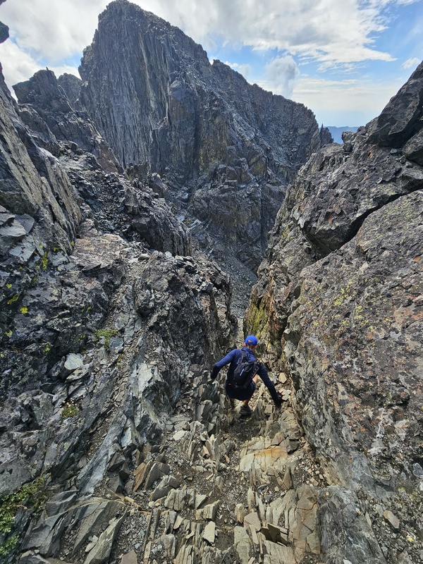
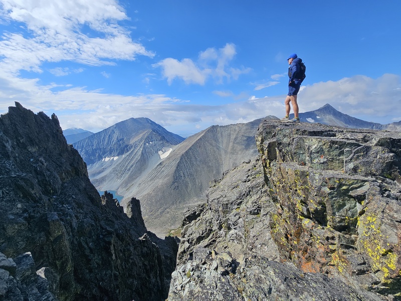
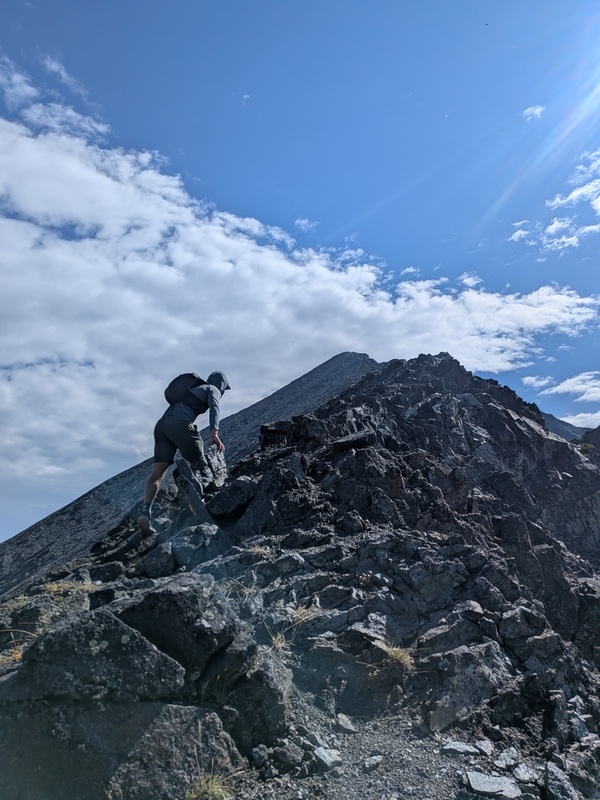
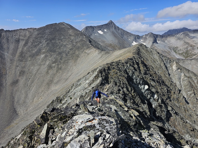
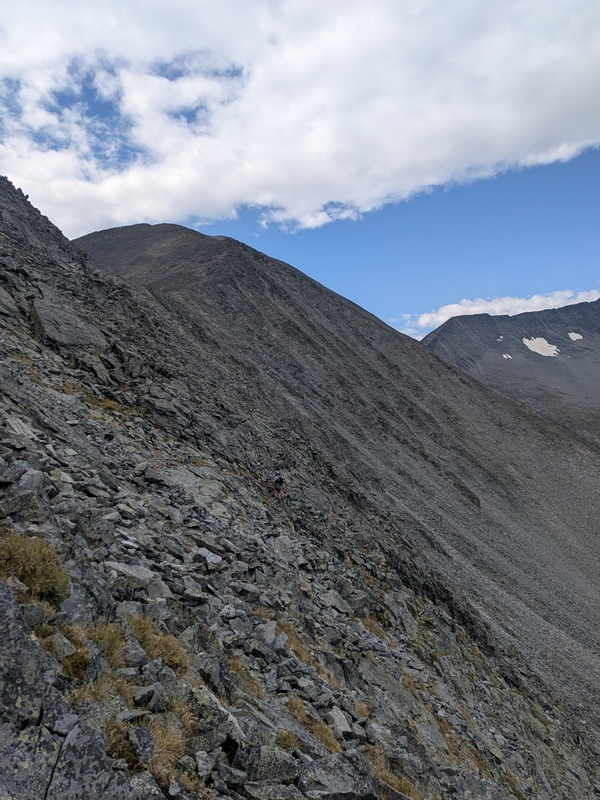
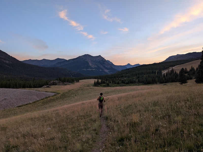
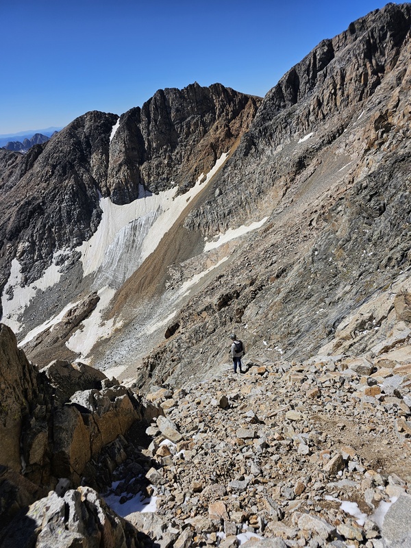
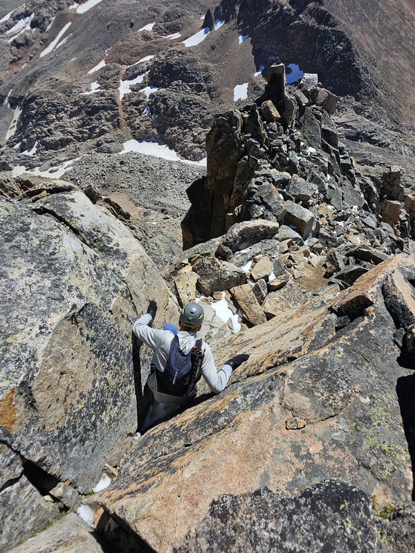
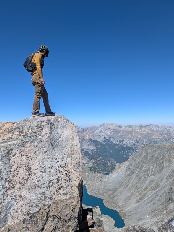
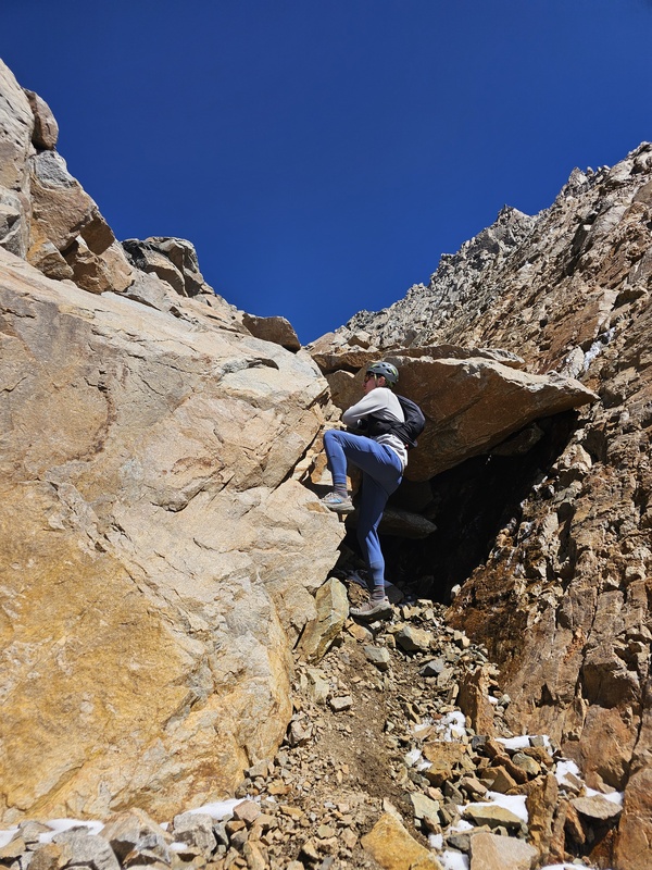
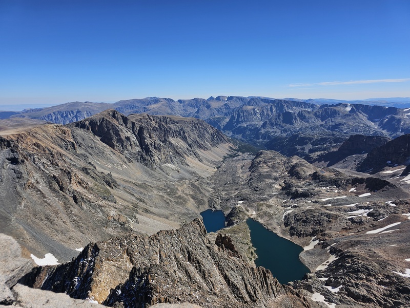
Wanted to add a little information for those interested in both the MT state highpoint (Granite) and prominence point (Crazy). My friend Peter and I tackled both of these, as well as a trip to Yellowstone (Mt. Washburn) in a short 3 days. If the weather works out, and you can hike really long, it's possible to climb both of these important peaks in one short trip. I included some info on the alternate approach to the SW ramp via Aero lakes (we looped the approaches) and add our info about doing it in a day. Day 1 - Crazy Mountain (13.5 mi, ~5k gain, 7 hrs) Day 2 - Yellowstone/Mt. Washburn (7.2 mi, ~1.4k gain, 2 hrs) Day 3 - Granite Peak via SW ramp (28 mi, ~5.7k gain, 14 hrs) Day 1 - Crazy Mountain Despite its modest elevation, being the 68th highest MT peak, Crazy Mountain rakes in a whopping 5,733' of prominence, making it the 33rd most prominent mountain in CONUS. Despite the multitude of access issues elsewhere in the range, this peak is thankfully still easy to get to. We took a gamble on an iffy forecast and it payed off with great weather all day, despite rain on all the other mountains in the distance. From the Halfmoon Campground TH, a nice trail leads to Granite/Blue Lakes at about mile 3.8. There are some really nice camping spots around these lakes for those who want to break this into 2 days or basecamp for more peaks. After this, the trail slowly becomes less obvious with some extremely light bushwacking until the big basin. We were able to follow some climbers trails and boulder-hop all the way to open terrain. There are a few ways up this peak, and you decide pretty quickly if you want to take the basin on the lookers left (shorter, but steeper loose climbing to the ridge) or lookers right (standard). From the right basin, which we took, you also have options to gain the ridge directly, which we did, or climb towards PT 10,587, which is longer but possibly less loose. Gaining the ridge is somewhat unpleasant and fairly loose. We found some parallel rock ribs to scramble simultaneously to keep each other clear of rockfall and have more enjoyable scrambling. This section is annoying class 2 or slightly less annoying 3rd if on the ribs directly. Everything on the ridge crest to the summit was fantastic. Solid class 2-3 scrambling. Enough exposure to be fun without ever feeling remotely serious. Getting from the false to true summit is a short section of real class 3 that starts with descending an aesthetic thin gash. From here the route was fairly obvious. We found a short chimney climb that got us through the last of the difficulties to the summit. Fantastic views, fantastic peak. We more or less retraced our steps on the way down but dropped the ridge from a slightly different place. This 1000' of descent was annoying loose and the only unfun part of the day. We also detoured the long way around Granite lake because I stopped paying attention and we just ended up doing it. There's a little use path around it, but this definetly ate up some time. Oh well, very pretty. Overall, this peak was almost pure fun. Would highly recommend even if you don't care about prominence. 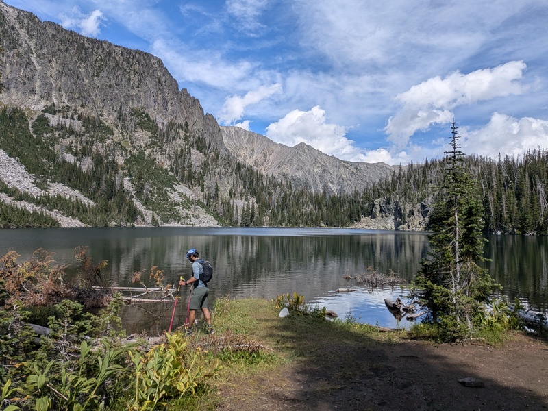
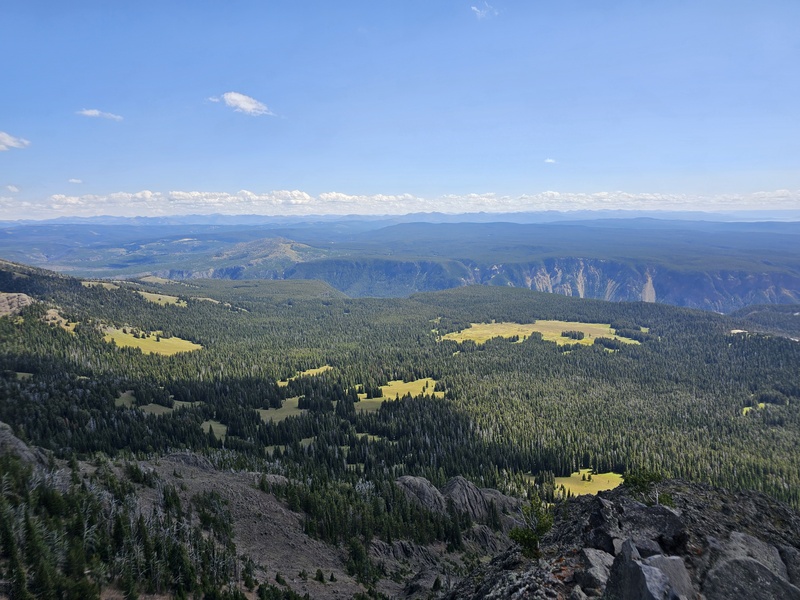
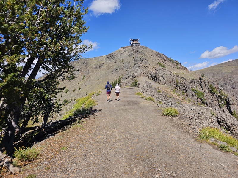
Day 2 - Yellowstone/Mt. Washburn We spend the night in Red Lodge before driving over the incredibly scenic Beartooth Highway, stopping to tag Summit Benchmark, a ranked peak less than 100 feet from the road, near the summer ski area chair. Not much to report this day other than I'm glad I got the chance to check out this beautiful place, and glad we dodged the rain and hail over the mountains elsewhere (always switch plans for the best forecast!). Mt. Washburn was a lovely recovery hike, although the winds made it quite cold. Throughout the park we saw a myriad of wildlife doing wildlife things, and tourists doing tourist things. Would love to come climb some of the rugged peaks near the park entrance one of these days. 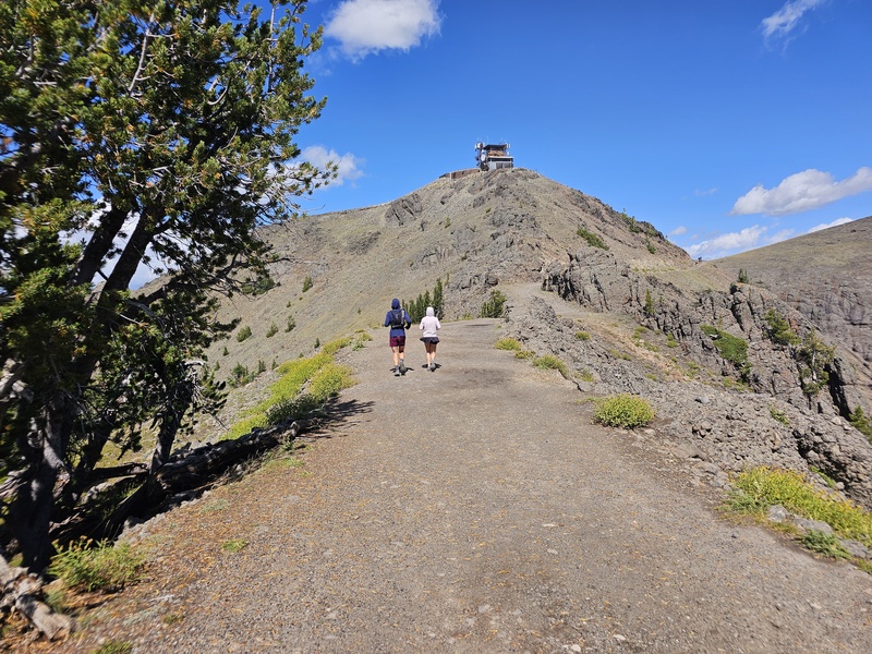
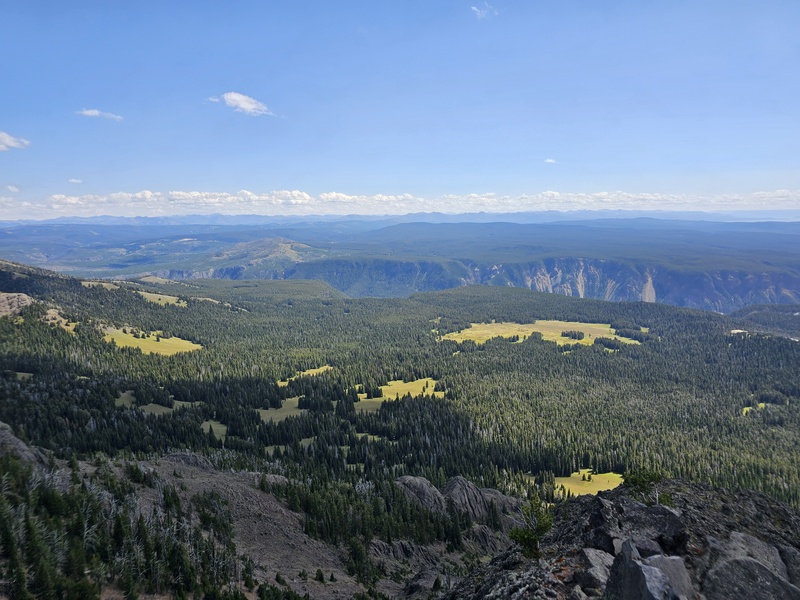
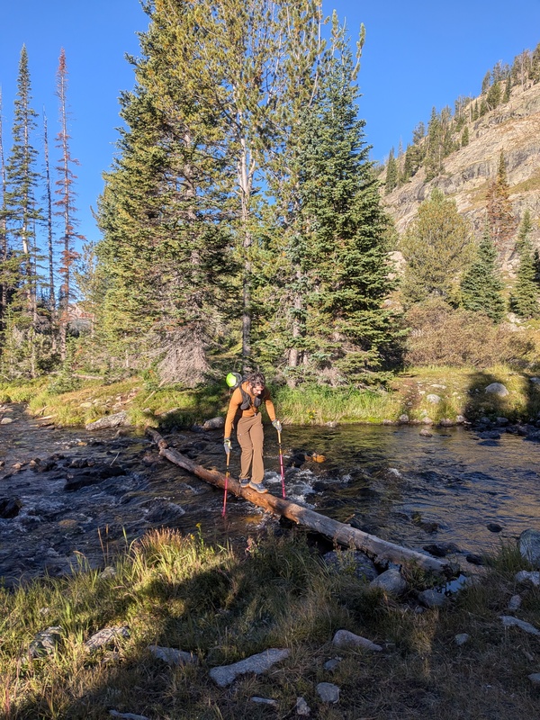
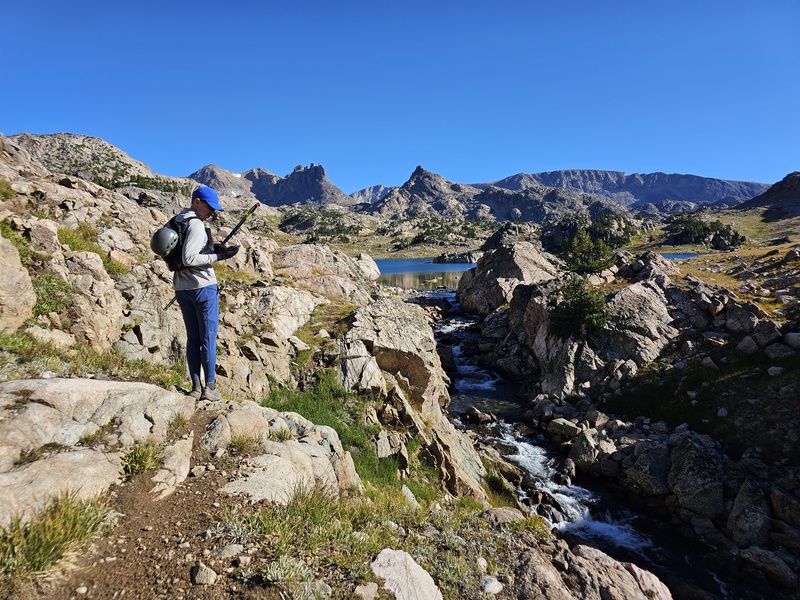
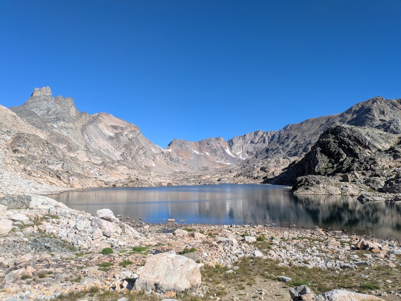
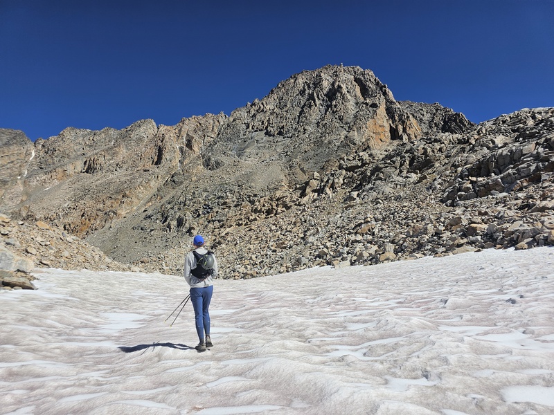
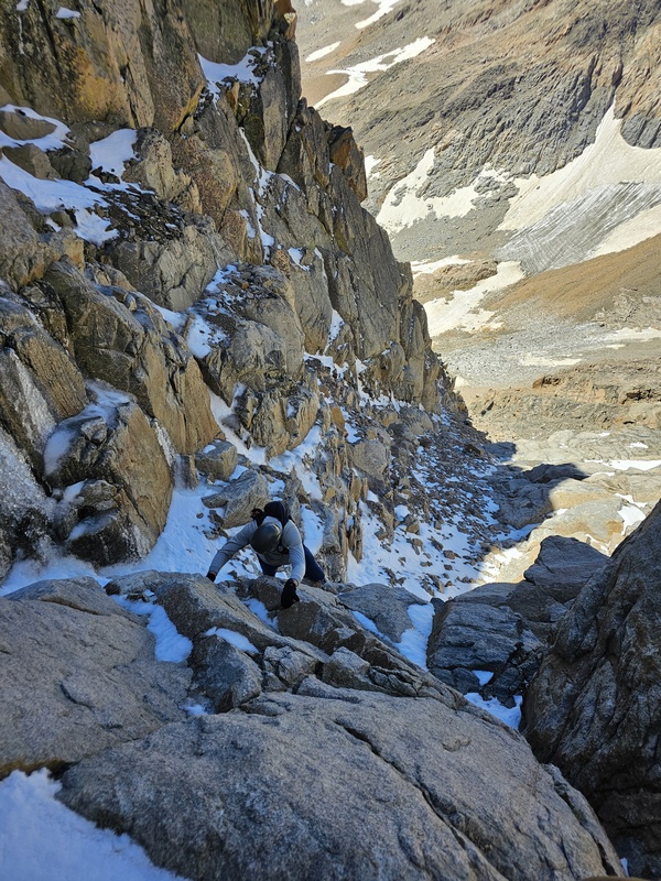
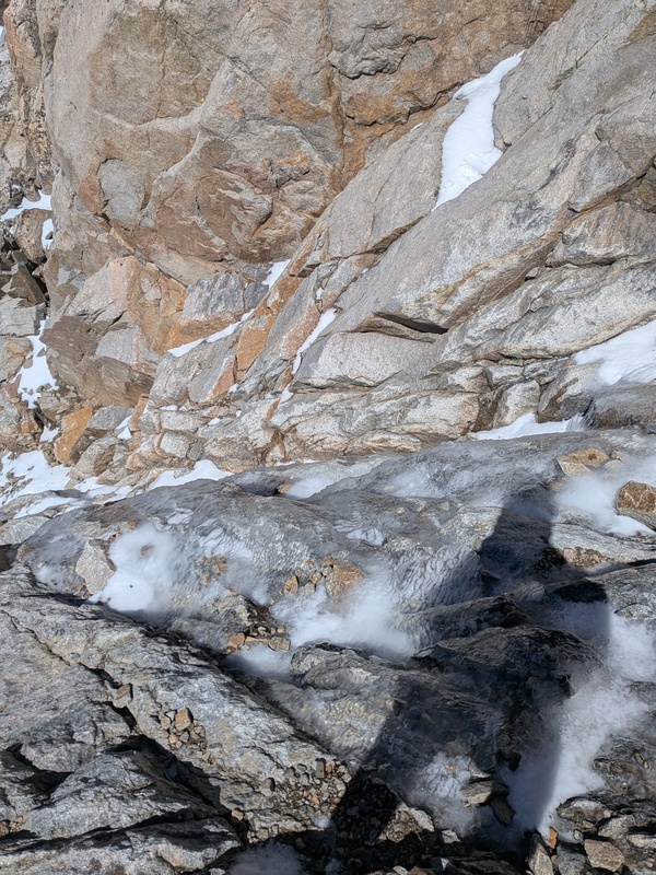
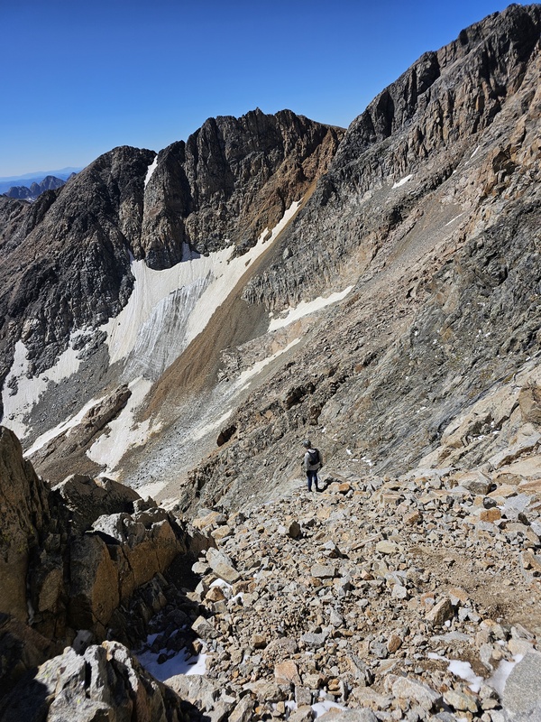
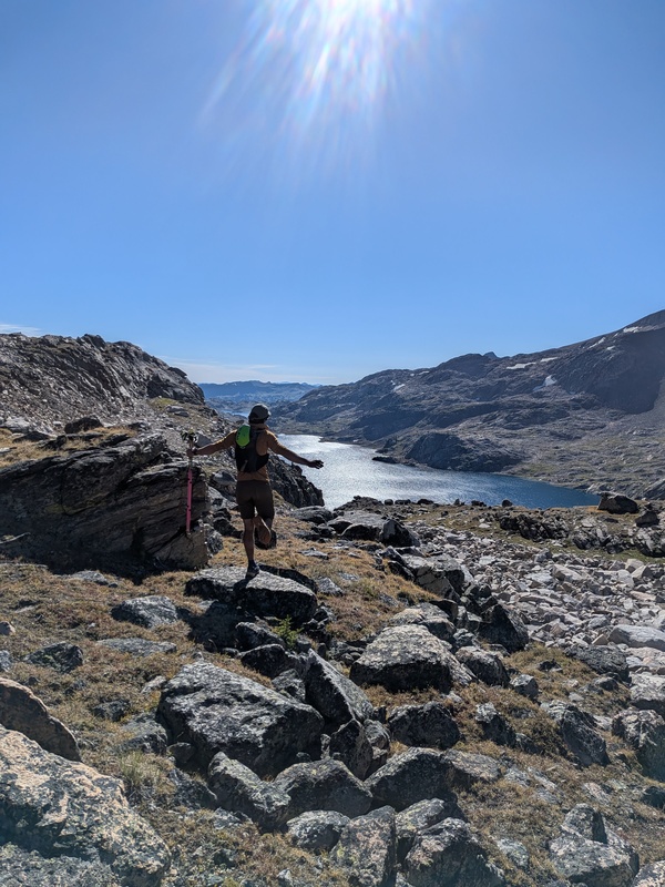
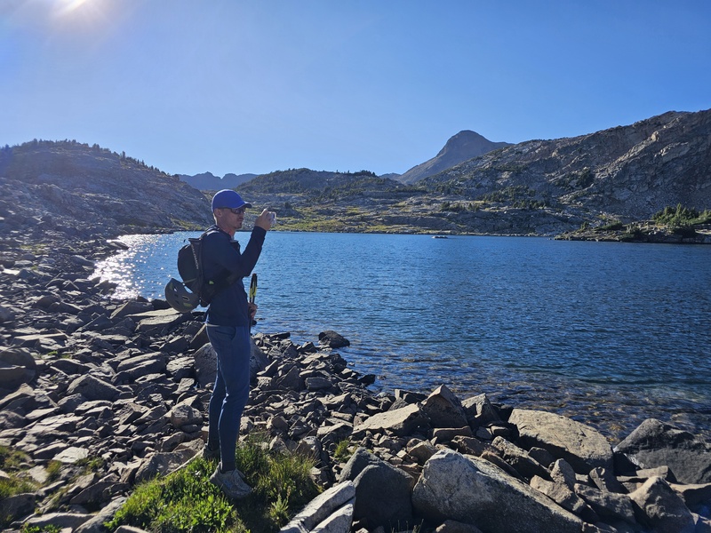
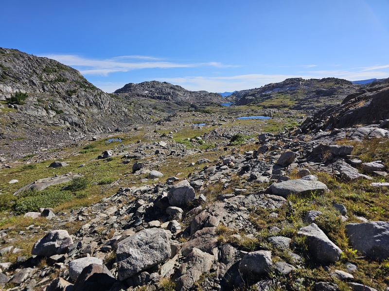
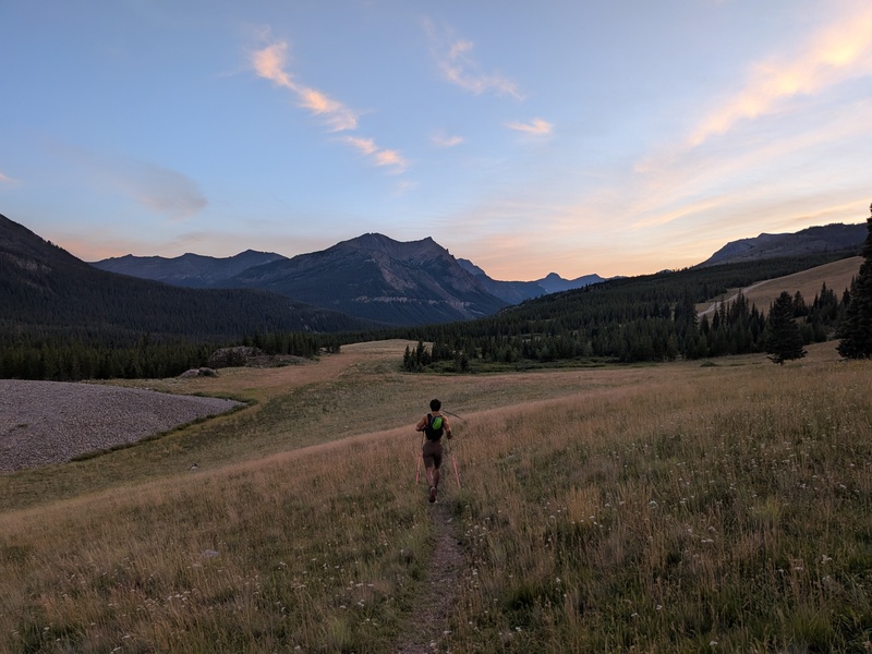
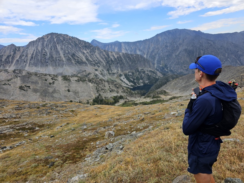
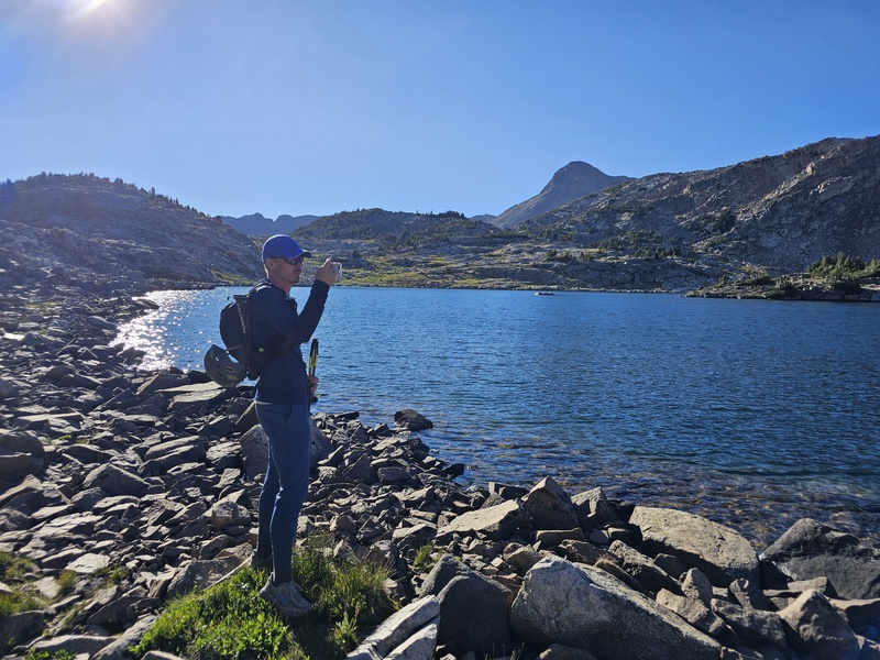
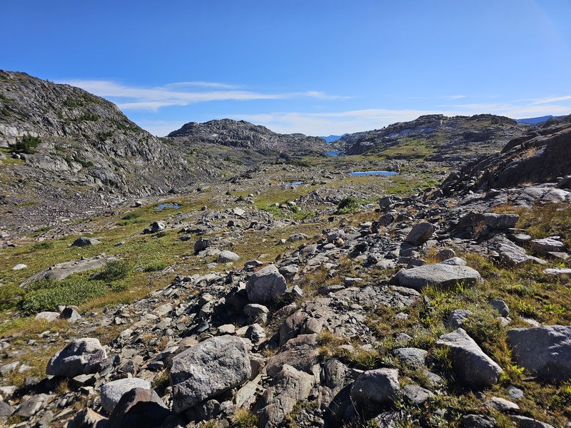
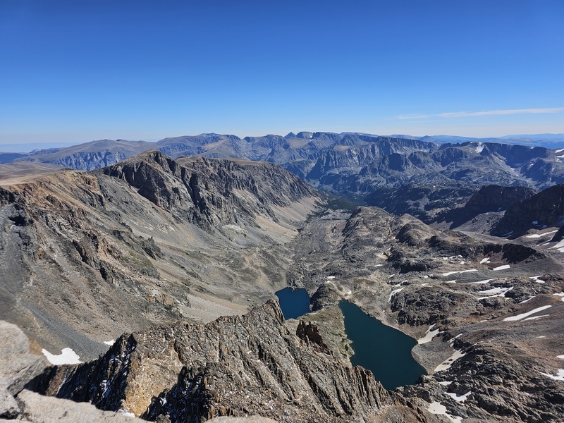
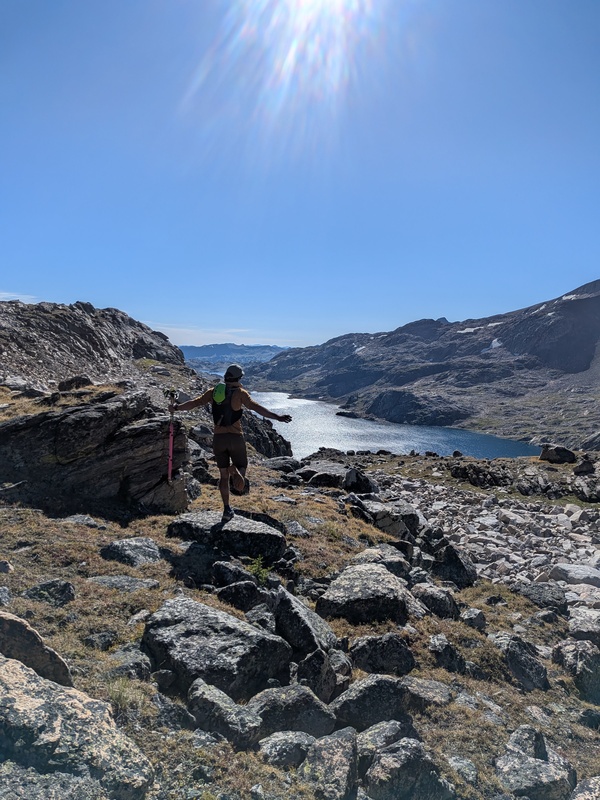
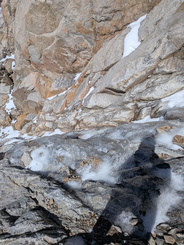
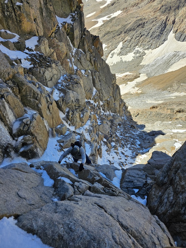
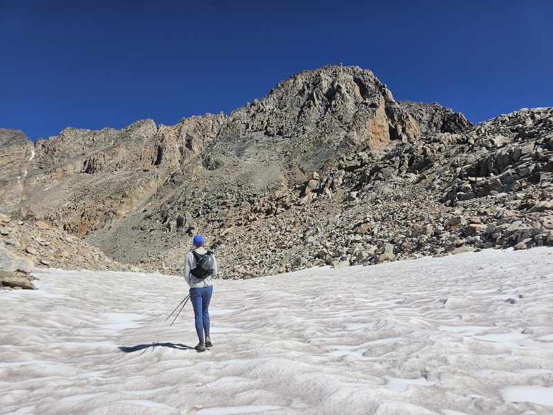
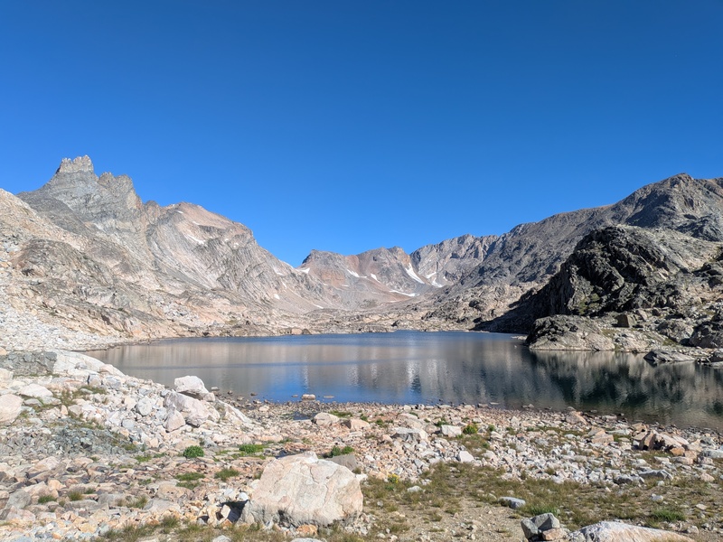
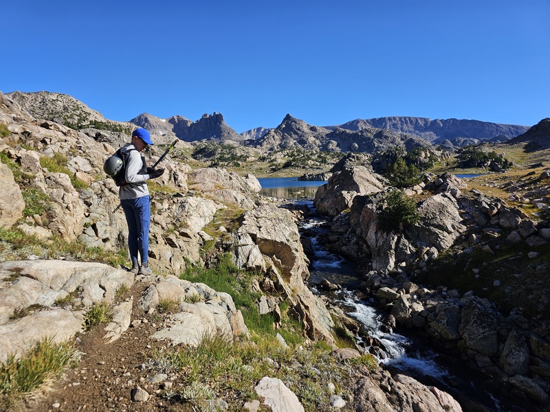
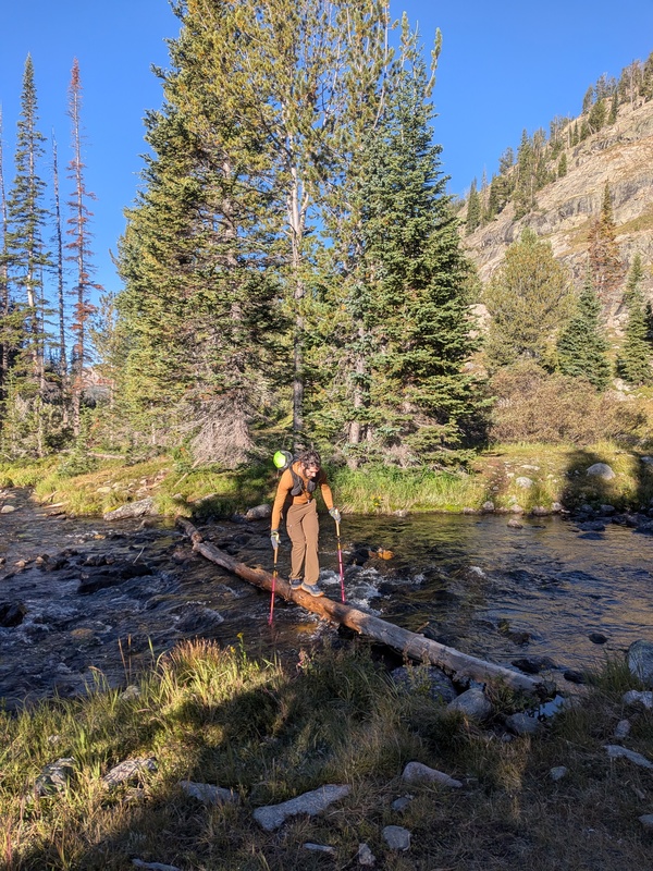
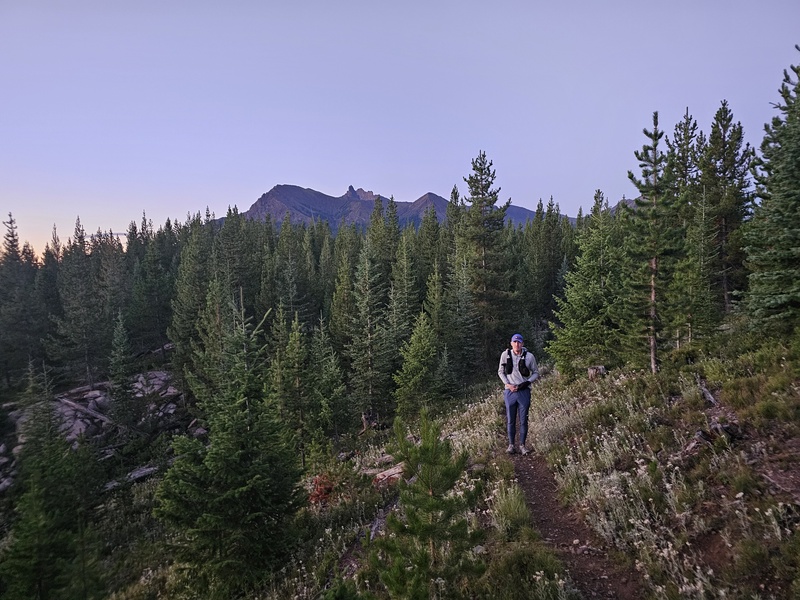
Day 3 - Granite Peak Originally I planned on doing Granite day 1, and then Crazy after work on this day. Since we swapped everything around due to forecasts, I stayed up finishing some work Sunday night so I could call out Monday. After a nice 4.5 hours of sleep, we left our airbnb and drove to the Lower Lady Of The Lake TH, as we had a very low-clearance Turo and didn't want to risk banging it up (we already had a direct hit from a cooler that fell off an RV while the driver was clearly smoking meth on the highway the day before). This adds a couple miles to an already LONG day. This was no concern for Peter, who runs 100 milers, but this was going to be the most distance I had ever hiked in a day, plus I've been dealing with some nerve issues in my foot, but I was content to pull a wreck-and-recover operation for this one. For some reason I actually felt toally fine afterwards which doesn't make any sense. Taking a running vest with just some snacks, 1.5L of water, a puffy, helmet, filter, and a few other small items definetly helped with that though, as our packs probably weighed only 5-6 pounds. We took off just after 6am, with just enough light to not need a headlamp. Also, we originally planned to car shuttle an up-and-over, climbing from Froze-to-death plateau to the N and descending this route S, but the previous day's cold rains and hail made us concerned about ice on the 4th/5.0 sections of the E ridge, so we switched to out-and-back the day before. This concern was rightfully founded as the SW Ramp crux was covered in verglass that made the climbing much sketchier. We took the normal approach up past Rough lake, which had about 7-9 miles of nice trail (I don't really recall) that eventually became wandering on grass and talus following a sometimes carined climbers approach. Navigation wasn't particularly difficult, but a gpx was handy a few times. Some of the stream crossings were done on icy logs, but other than that there were no difficulties. That being said, it felt as long as it was. We couldn't see Granite until almost 11 miles in (reminds me of RGP), and after that it never seemed to get any closer. Lots of boulder hopping, with only a brief snowfield to let the ankles rest. Once at the bottom of the route it looked less intimidating than from a distance, and it's easy to figure out where to go. Traverse up and left below the giant slab, then turn right and ascend the obvious gulley. Nothing exceeds class 3. There was a fair bit of thin ice covering the hardest parts of the scrambling from the previous 2 days of precip though, which made it feel mentally more like a low 5th solo. We tried going around the crux on the left, got ourselves sketched out, descended an icy 4th class route back, then committed to going right up the middle. Some spots had fresh soft snow we could kick steps in, and the steepest bulge had a handline right where the feet were required to be directly on the ice. Above this the difficulty eased and the ice ceased. The gulley tops out on a short solid ridge which was a blast, right up to the exposed summit. We met another Seattle based climber on the way up and shared the summit with him, looking around at a cloudless sky. We descended the same way we came, again using the handline at the crux (thank you whoever put this up). Again, if dry this would be pretty easy. We stopped at a small lake to refill water and sit for a bit. On return we decided to climb 400ft over the Villard/11398 pass to take the Aero lakes route back. This route was rougher, with more large boulder hopping and small ups and downs, but so incredibly scenic, especially upper Aero lake. If you have the energy, this is a great way to go, but do be aware that it's harder. An in/out trail is caught on the far side of Lower Aero lake which descends back to a main trail, which was much welcomed. We mixed jogging and fast hiking back, and decided to bomb the last mile pretty fast, ending 13 hours and 59 minutes after we started, arriving back before needing to don headlamps, which we were quite proud of. My personal benchmark is if I can average 2 mph in the mountains over the whole day, I feel reasonably quick. Big thanks to Peter for helping me push myself a bit and being a great partner. I'm not particularly trying to climb the state HPs, but I'll certaintly enjoy doing the fun ones! Some say this is second only to Denali. I think overall it was definetly more effort than Rainier, although ultimately it only took us one additional hour than Rainier did. The miles and miles of boulders got to my ankles much more than the moderate snow climbing did! 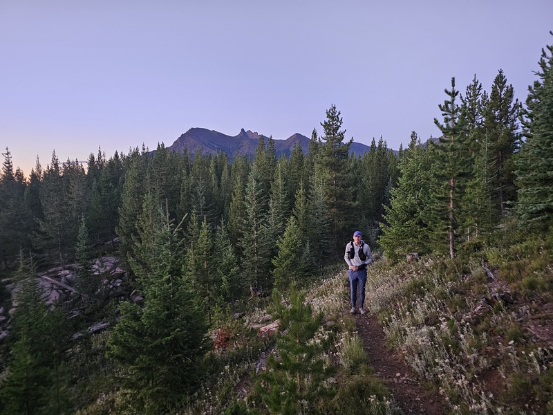
Thumbnails for uploaded photos (click to open slideshow): 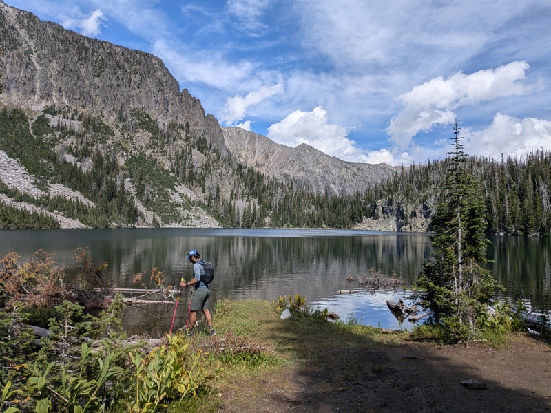
|
| Comments or Questions | |||
|---|---|---|---|
|
Caution: The information contained in this report may not be accurate and should not be the only resource used in preparation for your climb. Failure to have the necessary experience, physical conditioning, supplies or equipment can result in injury or death. 14ers.com and the author(s) of this report provide no warranties, either express or implied, that the information provided is accurate or reliable. By using the information provided, you agree to indemnify and hold harmless 14ers.com and the report author(s) with respect to any claims and demands against them, including any attorney fees and expenses. Please read the 14ers.com Safety and Disclaimer pages for more information.
Please respect private property: 14ers.com supports the rights of private landowners to determine how and by whom their land will be used. In Colorado, it is your responsibility to determine if land is private and to obtain the appropriate permission before entering the property.



 Download GPX file used in this map