
| Report Type | Full |
| Peak(s) |
Blanca Peak - 14,350 feet Little Bear Peak - 14,041 feet Ellingwood Point - 14,057 feet |
| Date Posted | 09/04/2026 |
| Date Climbed | 08/25/2026 |
| Author | Catwhite |
| Additional Members | leafkin |
| Blanca Group finishers |
|---|
|
Peaks: Little Bear and Blanca via the traverse completed 8/25/26 and Ellingwood Point completed 8/29/2026 I was set to finish the 14ers in 2025 when my climbing partner (and husband) was injured. I knew I needed to be ready for maybe the hardest adventure yet this summer. Even after doing the first 55 summits and 3 of the great traverses, I wasn't sure how I would do. Little Bear by any route is no joke, and could I do the traverse at all? I am not so fast or have the stamina to do 8k of vert on that kind of terrain in one go, so backpacking up Lake Como road it was. We picked a weekday and found a good weather window the plan was set. We started driving down Lake Como Road. I had high hopes with 4wd we could get up the road a bit, but it turns out I didn't have the tolerance for the baby head portion. We parked and started up with heavy packs to the Lake from the start of the road. It is very possible we do live in a simulation because the initial part of that road seems to keep going, like a video game screen reloading with the same view. But you keep going (and sweating in the afternoon heat) and eventually you get there. I was game to do the hourglass if we could be the first ones up there, so we left camp before 3 am. This turned out to be a good idea. Ascending that initial gully in the dark when you can't see how much is left was actually mentally helpful. You just focus on the portion you are currently working on and keep going. The route over to the the hourglass was uneventful and with only seeing the path shown via the headlamp, you just keep going and focusing on your next steps. We made it to the base of the hourglass at about 05:30. I started up and felt a bit nervous - it wasn't that bad in the end, but my mind was thinking of the descriptions of "polished rock" and it got in my head that it was going to get smoother and my feet would slide out from under me. I was picturing the slick part of a dual-tex hold in the gym. That didn't happen and the steepest part was over pretty quickly. I am glad to have done it very early and not have to worry about climbers above or below. We made our way to the summit as the sun was rising. I was not sure how I was feeling about either option at this point (traverse vs descending) and would have probably chosen neither if that were possible. "Look at Blanca 1.0 miles away and consider your future" - Gerry Roach. My partner had done the traverse and I felt like it was doable for me, so we went over to "just take a look at it". I suppose you could climb back up after the initial downclimb. Once we started down though, I figured it was going to happen so just get after it. I had to get some help with a few footholds at the steeper bottom part of the initial descent. This was the only part I felt apprehensive on and after that it was all fun. 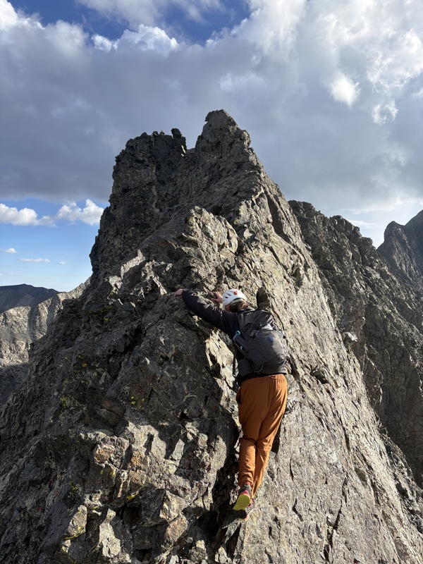
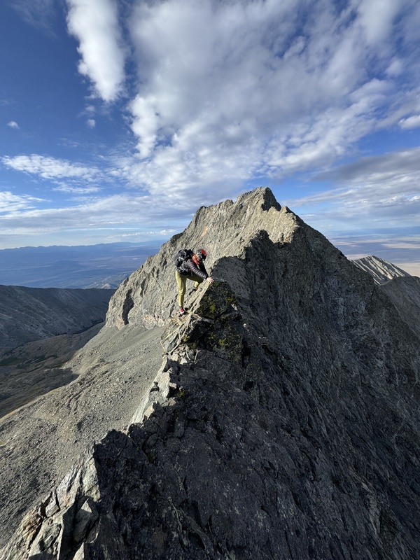
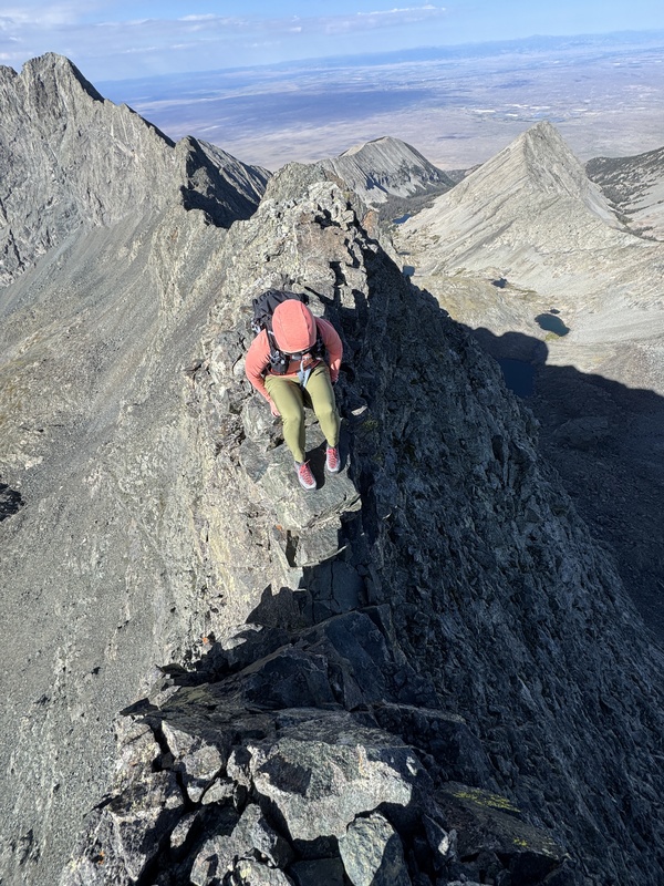
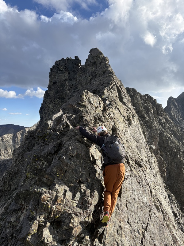
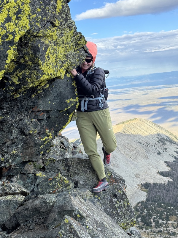
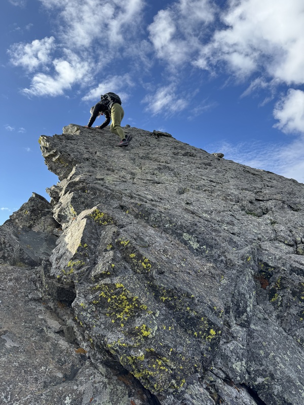
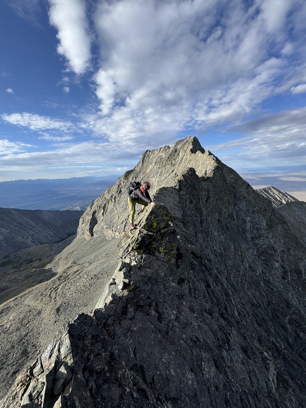
We climbed the initial towers and made it to Captain Bivwacko. A few years ago this move would have kept me from doing the traverse. I bailed on Wilson Peak the first time I attempted it because there was a bulgy rock to go around (which I am pretty sure could have been avoided by going above or below it). Gym climbing and the other class 3/4 terrain I have had a chance to practice definitely helped and the move was uneventful. 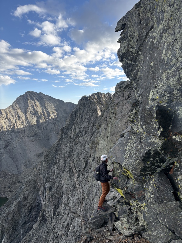
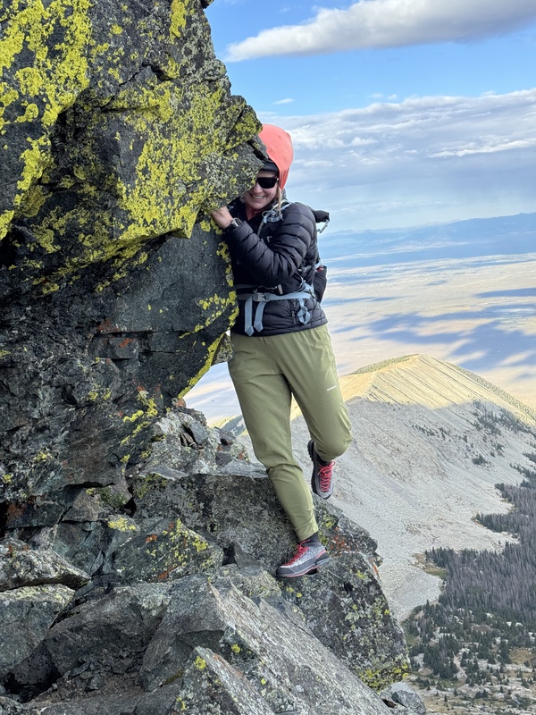
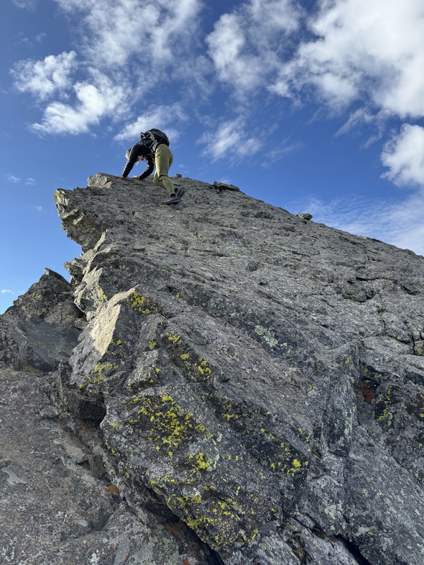
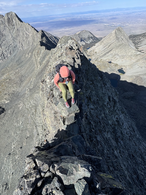
The next portions of the traverse ranged from decently sized walkways to climbing up and down things and walking around the obstacles. I actually didn't recognize the catwalk for what it was until later. Those wide-angle views distorted my expectation. I would just continue to focus on the hand and footholds in front of me and not look down. The traverse took me 3.5 hours. 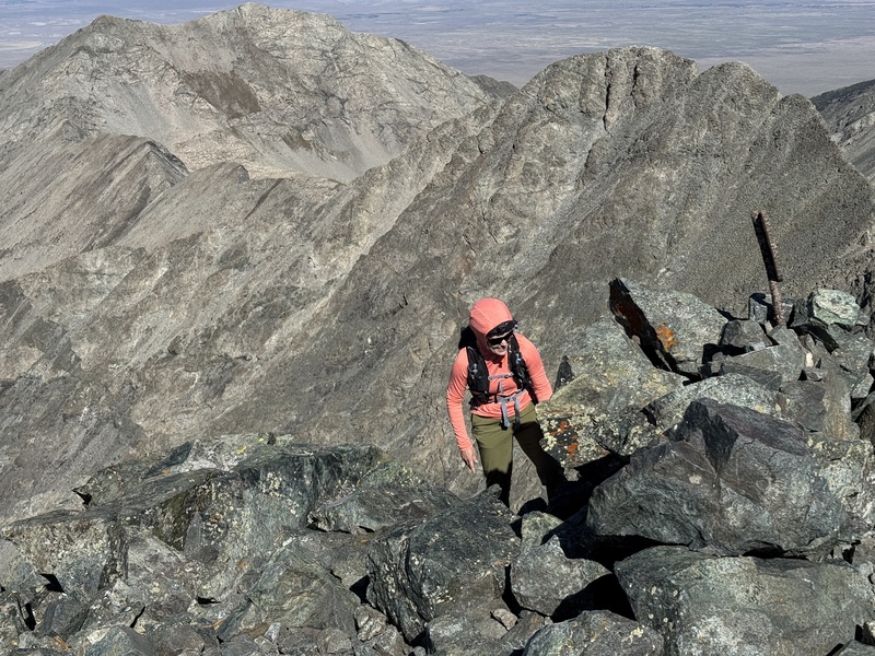
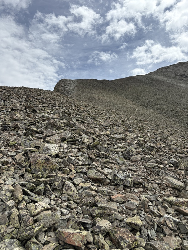
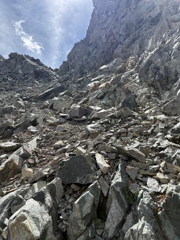
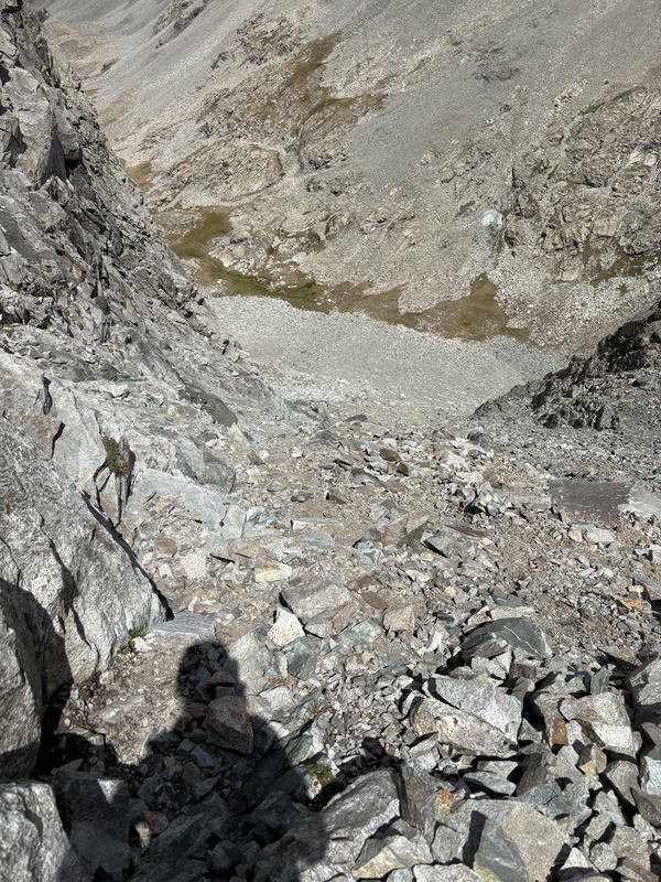
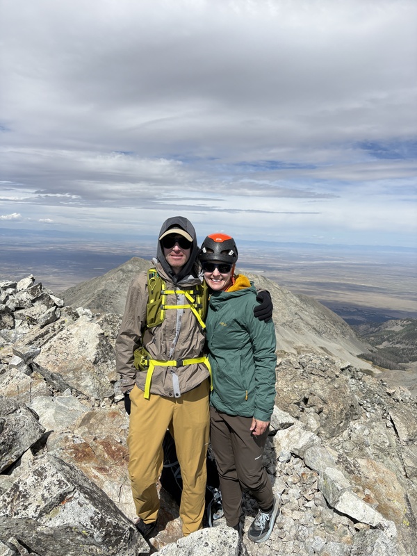
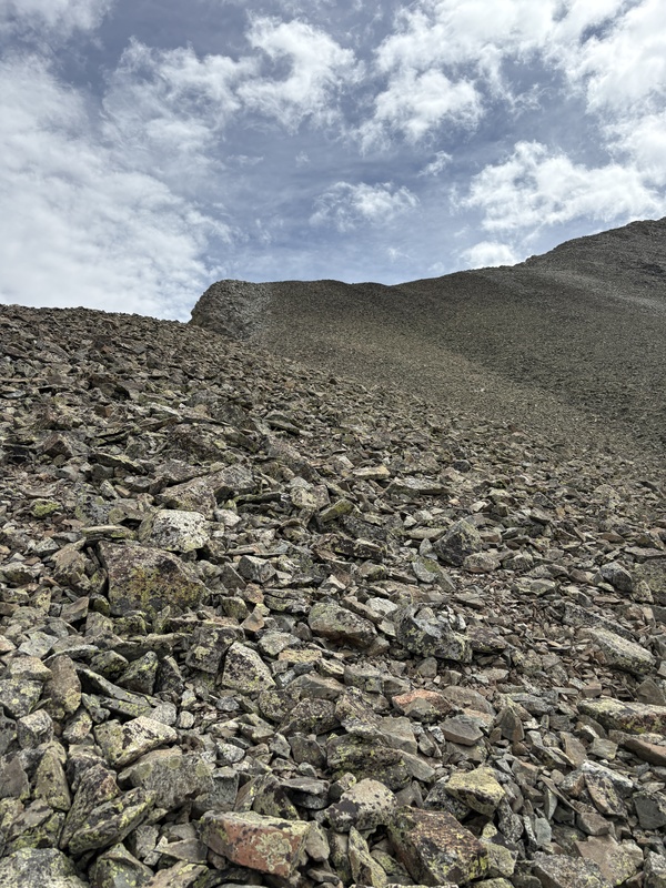
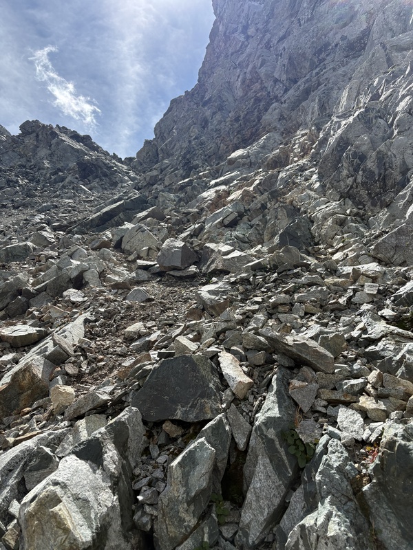
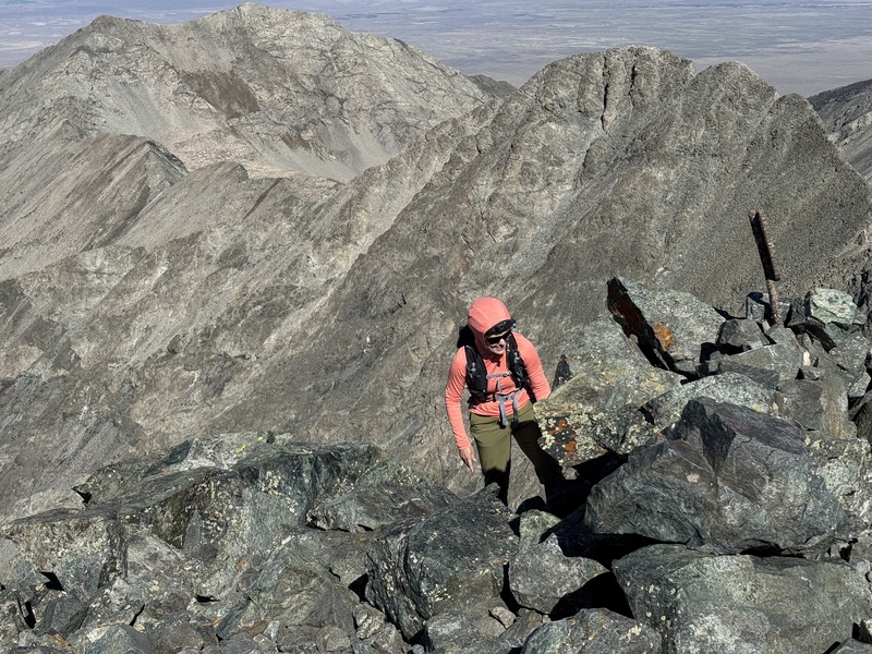
Ascending Blanca was a great feeling (collect 612 RP). Fifty-seven peaks done, 4/4 great traverses done. The initial plan was to tack on Ellingwood Point from here, but the time/weather and my energy level caused us to go ahead and descend to the Lake. And we still had to pack up camp and get down that road, which was the price you pay. I did not want to have to camp again, so I looked at doing Ellingwood Point from Lake Como in one (long) day OR we could do it via the Zapata trailhead. I wasn't sure how the couloirs would go based on what I read, but it would be a different perspective and different views at least. Descriptions made it seem like the distance and elevation were much more than that listed on the route description here, but I think they are pretty accurate based on my Garmin. I recorded a bit above 5k for the ascent. It is a long day and the couloir and ridge would be time-consuming (at least for me). I got to the lake after about 3 hours. The initial plan was to ascend C3, but given the extra distance and time on the ridge that it would take, we decided the only real option at 8:30 am for a summit was to check out C2. It was supposed to be longer and looser. From the bottom it looked doable. Climbing up (sticking climber's right and as much on the rock as possible) was actually fine on the ascent. Forty-five min later we were at the ridge. You go over a couple mild bumps on the ridge and then get to the talus climb. The peak looked so far away and I am not that fast on more vertical terrain. But the time was looking ok - we had hours before predicted cloud/lightning risk (and the skies looked good). Based on our elevation it was under 1k to go, which did seem totally within reach. So up the rocks we went. Once you get to the top of the talus, the incline starts to mellow a bit and for the most part you just follow the ridge up. You do have a false summit and a bit of climbing to go, but it was pretty solid and fun. I was energized by the thought of this being my finisher and made it! We spent a few minutes taking photos and then on to the descent. 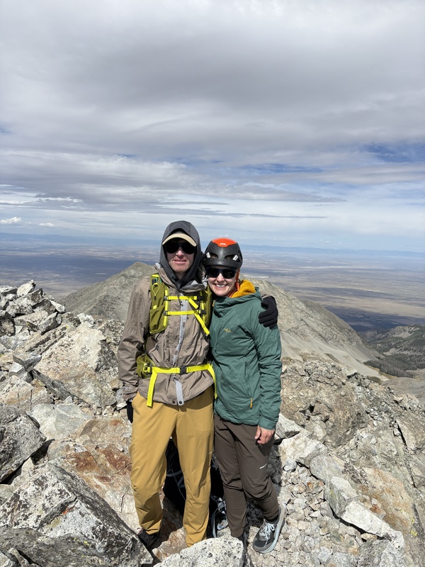
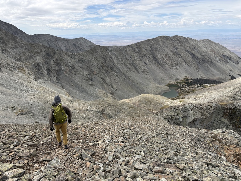
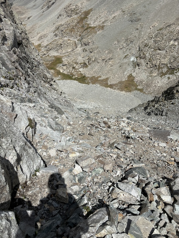
The terrain isn't that fast even though you are descending. The talus went quicker than going up, but descending C2 require some care. The couloir is, as usual, more challenging on the way down. Sticking to the same side we took coming up worked. I did face in at the steepest part to feel more secure and controlled. It took me 2 hours up and almost exactly 2 hours down from the base of C2 (grass to grass). 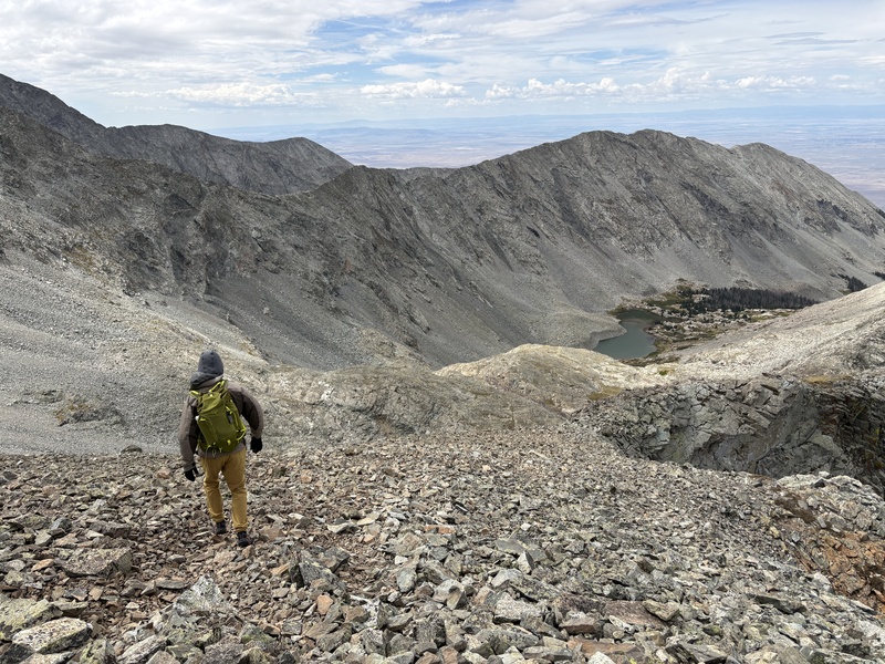
Some lessons I felt I learned (sometimes many times) over the 13 years from my first 14er to my finisher: 1. Focus on the part you are working on. I get in my head about what's to come (how much farther it is, how much vertical gain is left, how much it will suck to downclimb) and it can really ruin a good experience. And with doing it over and over you learn you CAN do it even if it is hard. 2. You be the judge what you think of a route. I would read trip reports or watch videos of some of the harder routes (memorizing the routes helped me feel much more confident) and I at times let that person's opinion affect how I felt about something I hadn't even seen yet. This was true of C2 on this last route. But I decided to wait and judge it for myself. And it was a pretty great route! 3. You don't have to feel great to do something. Obviously if you are actually ill then listen to your body. But if you are just a bit tired or winded because you are climbing a steep section, you can probably keep going. I found many times this occurred and then I'd adjust my pace or eat/drink and then found the feeling went away. 4. Lastly, don't judge your own abilities against others. I often saw people who looked the part of a confident hiker/climber and they would not do a particular route because it seemed to challenging for them and I would think to myself "if THEY can't do it, there is not way I can". And I proved myself wrong. I did do it. I wrote this up mostly for myself, to remember the experience better in the future of my finishers. If any of this is helpful to anyone reading this, or you resonate at all with it that is wonderful. I didn't start off with the goal of finishing, but after completing each challenge the next one seemed more in reach. I kind of feel like I finished a degree in 14ers. Thumbnails for uploaded photos (click to open slideshow): 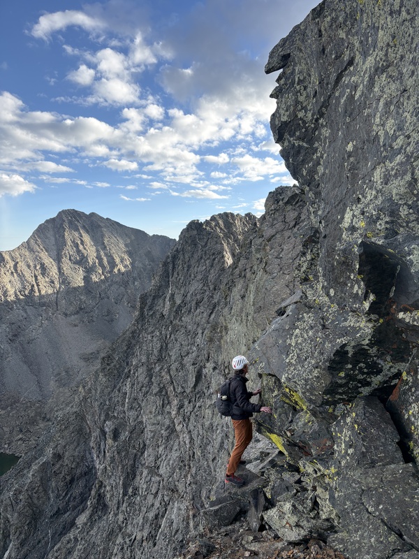
|
| Comments or Questions |
|---|
|
|
Caution: The information contained in this report may not be accurate and should not be the only resource used in preparation for your climb. Failure to have the necessary experience, physical conditioning, supplies or equipment can result in injury or death. 14ers.com and the author(s) of this report provide no warranties, either express or implied, that the information provided is accurate or reliable. By using the information provided, you agree to indemnify and hold harmless 14ers.com and the report author(s) with respect to any claims and demands against them, including any attorney fees and expenses. Please read the 14ers.com Safety and Disclaimer pages for more information.
Please respect private property: 14ers.com supports the rights of private landowners to determine how and by whom their land will be used. In Colorado, it is your responsibility to determine if land is private and to obtain the appropriate permission before entering the property.


