
| Report Type | Full |
| Peak(s) |
Mt. Adams - 13,937 feet Unnamed 13543 - 13,543 feet Unnamed 13543 - 13,543 feet Unnamed 13533 - 13,533 feet Unnamed 13159 - 13,159 feet Unnamed 13552 - 13,552 feet |
| Date Posted | 08/28/2026 |
| Date Climbed | 08/22/2026 |
| Author | daway8 |
| Adams Family Reunion - A 2 Part Traverse |
|---|
|
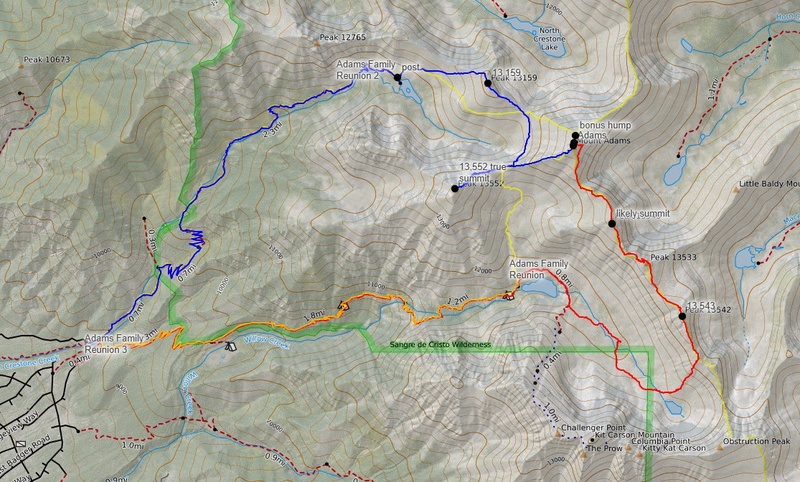
The Adams Family Traverse makes for an excellent multi-peak day (or days) with some short but fun bits of exposed scrambling. Kudos to Chipmunk for posting gpx tracks, but no trip report, to the GPX library (which is where I got the name for and the idea to do this traverse - or at least a modified version of it). Also thanks to bergsteigen who did post a trip report for a version of this traverse, along with a non-downloadable GPX (which consequently means it doesn't appear in the GPX library), and finally thanks to Kevin Baker who appears to possibly be the 1st to leave record of the name: The Adams Family Traverse, in a 2007 trip report which bergsteigen mentioned didn't have quite enough detail to fully replicate. So given these various scattered tidbits of some different variations of a neat cluster of peaks, I thought it would be good to compile all the details into one location and in a form where it can show up in the GPX library with full details attached for those who want it (since I myself often go first to the GPX library as the fastest way to get route ideas without reading the 100+ trip reports that exist for some peaks). I ended up doing only 4 peaks the first day due to time constraints and came back for the other two plus a repeat of Adams a couple weeks later. P.S. even though I say "full details" that's not to say I'm removing all the mystery from this route - I promise to leave a few tantalizing tidbits undefined as well as leave open some different, not fully defined ways to tie together these peaks. For those who want to maximize the mystery, just glimpse the stats below, take a peek at the GPX and give it a go! But if you'd rather have greater detail before you venture near potential class 5 terrain, then read on! Stats: Total round trip distance for all 6 peaks*: ~15-18mi (depending on which exact selection of routes you choose between peaks). Total gain for the entire group*: ~7,500ft (give or take 100ft or so for different variations). *Combined stats: Since I broke this into two weekends, with Adams done on both, I had stats with maybe ~1k or so less gain and maybe a mile or two less distance each weekend - so if you have the time/energy to do all 6 at once, it's dramatically more efficient, but this is also a beautiful area worth a couple visits or more. Difficulty: For sure at least class 3 by the easiest options (involves dropping off the ridge in places) but best to be prepared for some class 4. You'll encounter class 5 of various flavors in a few places if you try to hold ridge proper. Trailhead: Willow Creek Trailhead (regardless of which basin you come up/down) Approach: Either Willow Lake to start the loop from the south with UN13,543 (near Obstruction Peak), or use the South Crestone Lake Approach to start from the north with UN13,159 Peak Count: Total of 6 13ers - 1 Cent, 4 ranked 13ers and 1 unranked 13er Lake Count: Pass by up to 3 lakes, and look down upon several others Included in this report will be:
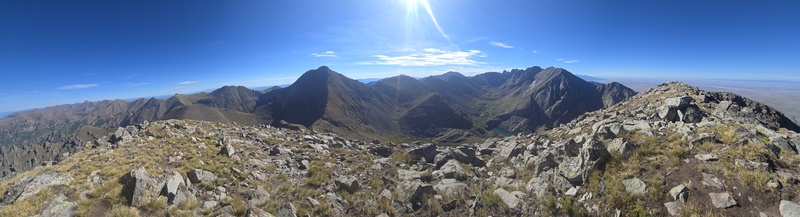
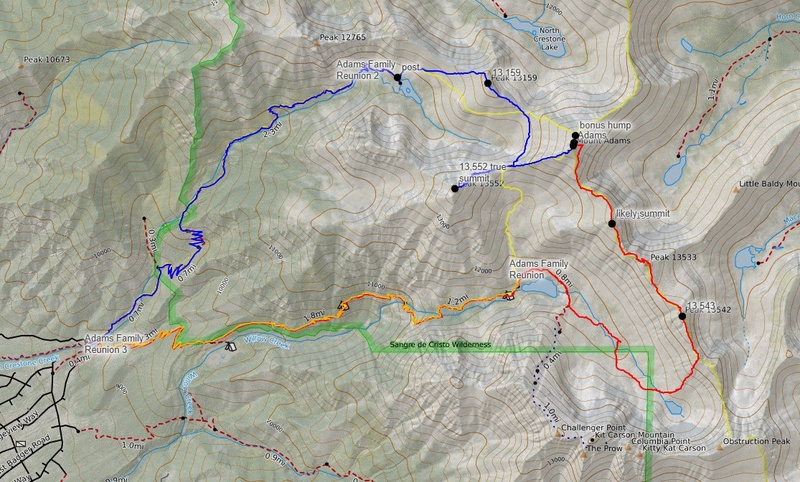
Background The Sangres have been my most frequently hit range since late last year, in part due to favorable weather, minimal wildfire smoke, etc. I was wanting to do some bigger days to prepare for my upcoming trek into Chicago Basin via the long haul from Purgatory to bring myself hopefully just one peak shy of finishing lap2 of the 58. So I started browsing the GPX library to get quick ideas on possible link-ups and that's when I saw the library entry for The Adams Family Traverse that chipmunk had uploaded. When I saw the nearly vertical line next to the summit of UN13,543 (near Obstruction Peak) I at first assumed she must have done a ski descent, but the date listed for the climb was the end of July and so that didn't make sense. When I reached out, she said that was actually her ascent line and referred me to bergsteigen's report for more details (which I hadn't yet seen since it doesn't appear in the TR's listed in the GPX library). Her report led me to Kevin Baker's TR with the name of the traverse. One thing which helped push me over the top in deciding to go was the line in the comments at the bottom of bergsteigen's TR that said: "I think the ridge may "go" for an exposure junkie..." and a comment in the body of the report of: "Hardest part was finding the class 4 amongst so much class 5..." Sounds like my kind of route! And allows a potential mega peak count (at least by my standards) as well as offering enough miles and gain to torture my body into shape for Purgatory (boy, that line would sound really strange out of context - and maybe so even in context, lol). I think I maybe briefly glanced at the report by supranihilest to see just enough detail to know that Adams sounded like something within my skillset from whichever direction, if I was willing to do a little route finding. So, without wanting to spoil all the fun, I downloaded chipmunk's GPX, plus another version or two, took a couple snapshots of key spots of bergsteigen's report and decided to make up the rest on the fly. Adams Family Traverse Part I: Willow Lake Approach I opted to start with the same approach chipmunk used, which for me meant sleeping at the Willow Creek Trailhead. This is the same trailhead used for Kit Carson/Challenger so it was almost maxed out by 7pm Friday but I nabbed a spot (by Saturday afternoon there were cars lining the road). This approach has been covered extensively elsewhere so I'll just say take the trail past Willow Lake and then, just before starting up to Challenger, cut left at the sign to follow a fainter trail towards Upper Willow Lake. Then, somewhere around where you would cut right towards Outward Bound Couloir if you were heading up Kit Carson North Ridge (a really fun, solid class 4 scramble!) turn left instead and aim for a rib that is faintly visible on topo maps that comes up from the very front tip of Upper Willow Lake. 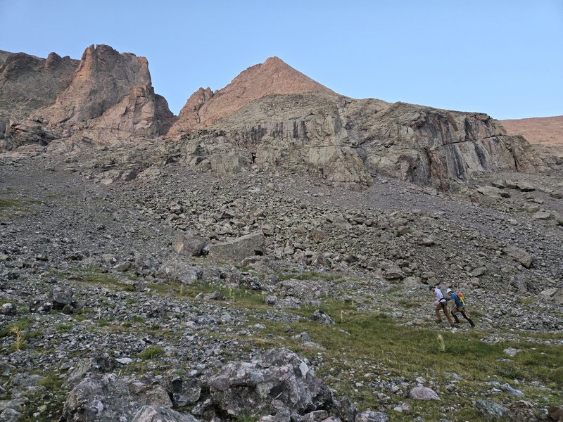
I ended up being overtaken by a couple guys at the turnoff for Challenger and tagged along behind them through the willows, eventually chatting a bit and sharing some basic beta and tips on Kit Carson North Ridge which they were headed for. We then also came upon a pair of gals also going for KC who were initially very excited to hear someone who had done the route was heading up, until they discovered I was actually about to turn and leave them to go climb 13ers instead. 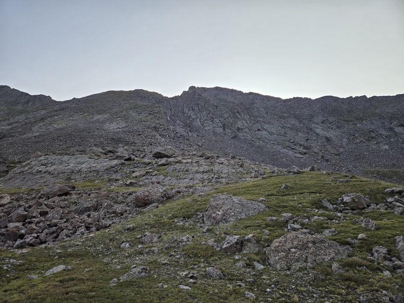
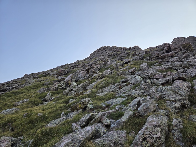
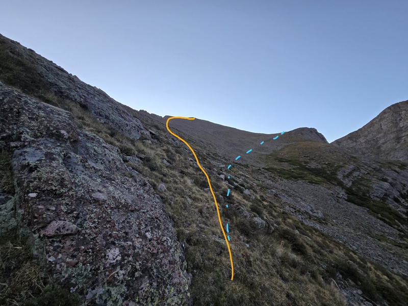
None of the limited material I read in advance gave much detail on what to expect for gaining the ridge. From previous pictures taken when doing KC North Ridge I was nervous about how steep and loose it might be getting up there. Chipmunk didn't seem to think much of it, though when I looked at her line in person I was like, uuuuhhhh... So I went on past her ascent to the faint rib I had seen on the topo maps and, sure enough, there was a faint grassy rib there that looked fine at the bottom and... well, not necessarily horrible at the top... 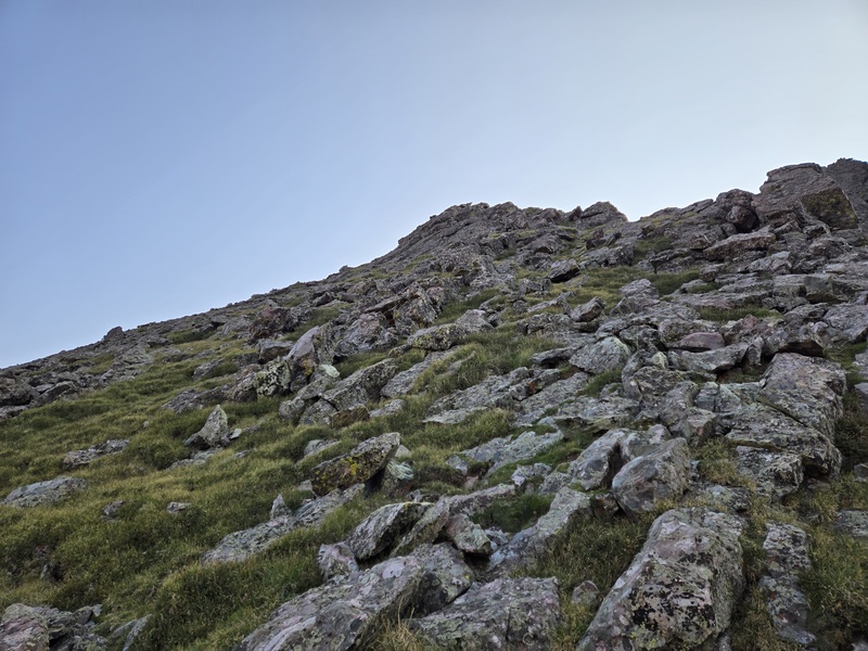
But in the end this was an extremely mellow way to gain the ridge - much of it grassy; some grass mixed with rock, and some talus fields. A time or two it was almost starting to get steep enough to become what some would call class 3 grass, but I don't think it ever quite reached that threshold. In retrospect, I almost wonder if chipmunk's more direct and aggressive line might have been more fun... 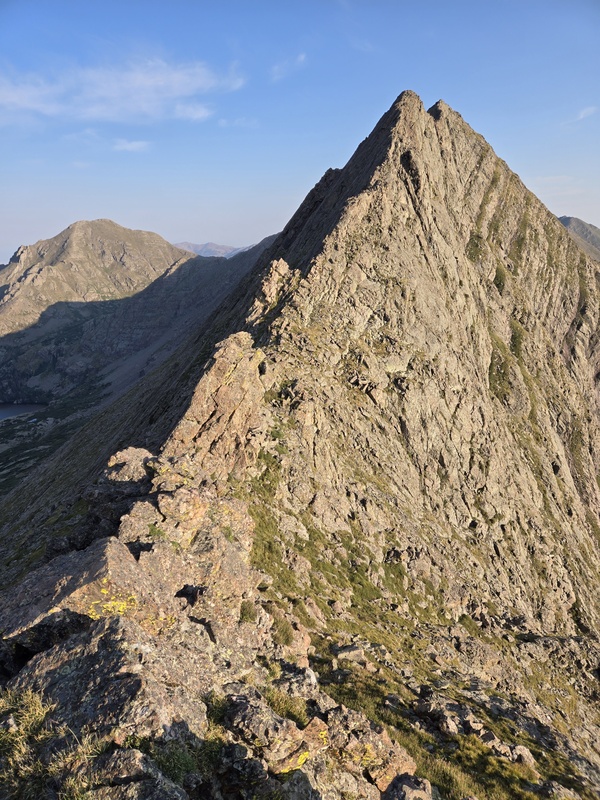
I had come up the ridge a little too far to the right and so had to pass over one extra hump but that did afford me a good view of a very impressive peak just off to the right - a bonus 13er in between there and Obstruction which looked like it might be somewhat gnarly - maybe one I'll have to come back and check it out... 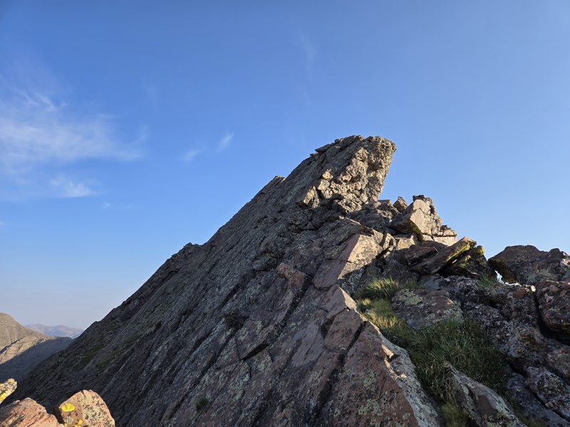
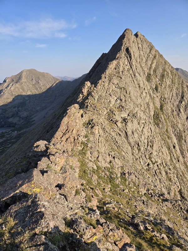
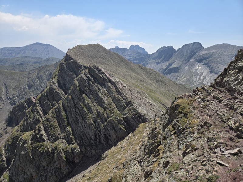
As I went further up the first UN13,543 things started to get more fun (yes, the 1st and 3rd peaks on this ridge are both currently identified as UN13,543 - what are the odds of that?!?). This is about where bergsteigen apparently noped out (on what was then classified as UN13,541) and dropped onto the face for some exposed class 4 slab. No thanks - I prefer being on the top - exposure doesn't bother me as long as I'm on something solid. 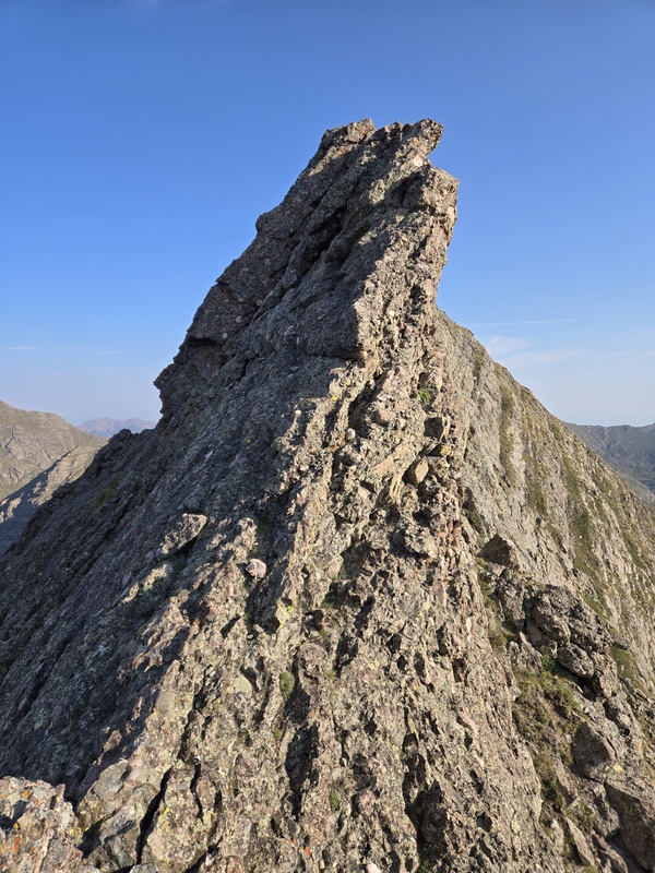
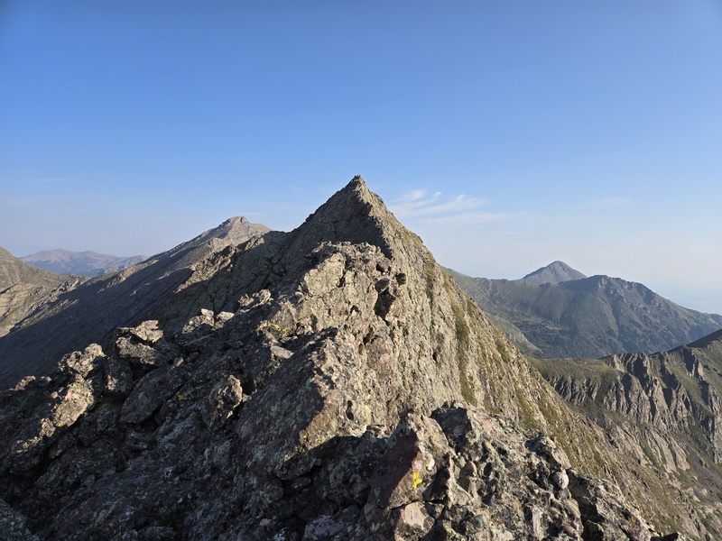
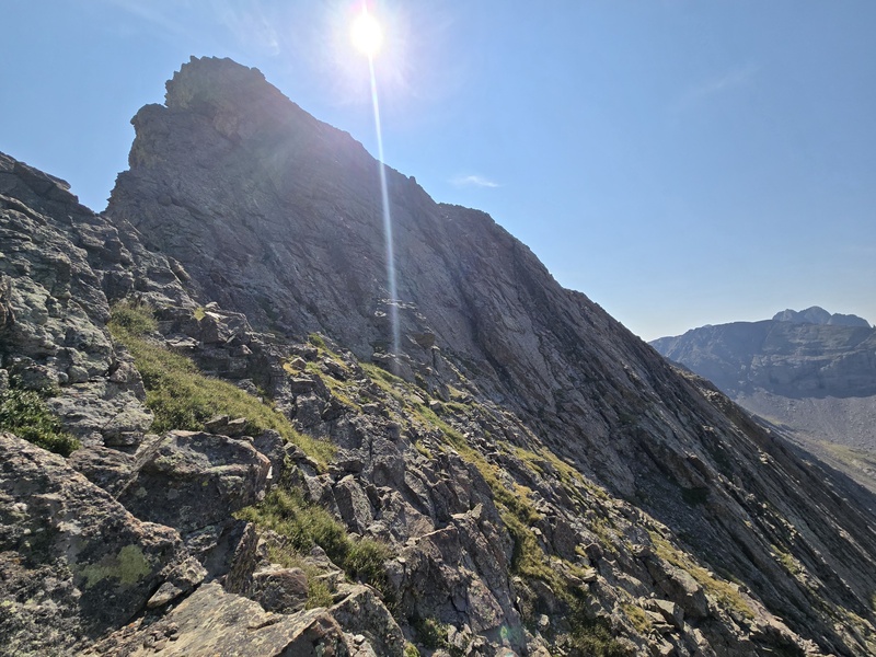
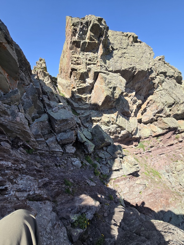
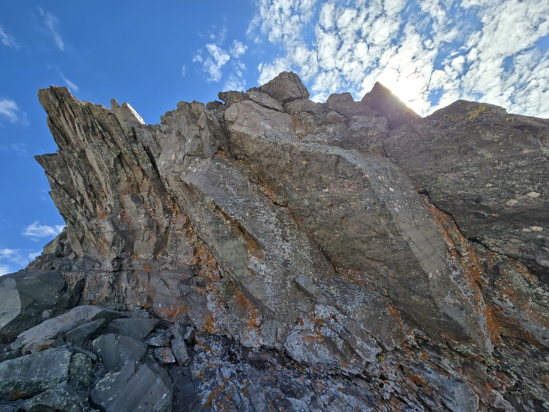
As you come up onto the first exposed hump it quickly gets even more exciting. There was one spot where on the right, the rock was overhanging the below drop enough that I worried my weight could maybe cause the whole thing to drop off the mountain. But on the left were a couple hung chunks of rock that seemed more or less just sitting on the steep face with perhaps only friction holding them there. I paused here for a moment but ultimately decided that all these rocks were so huge and heavy that the odds of my weight toppling them off the mountain were fairly low. Fairly low... but just enough of a non-zero percentage that I didn't linger long on that section and stayed ready for some rapid lurching in case it was needed. 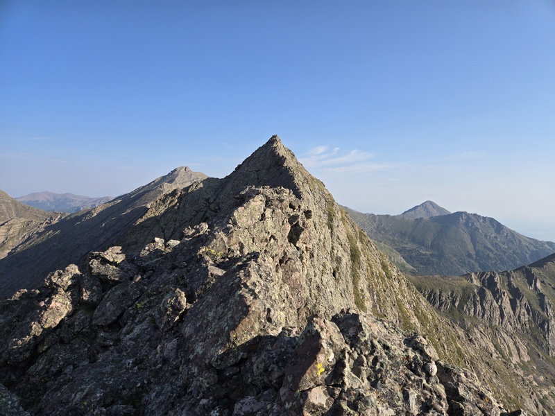
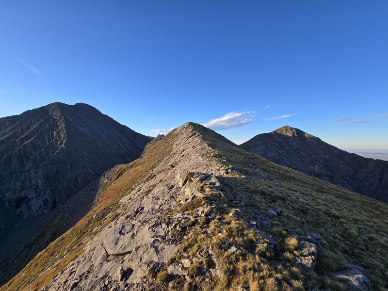
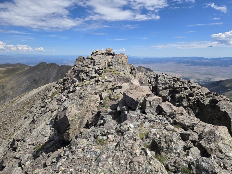
Luckily, no desperate flinging was needed and I went over without issue to come to the somewhat S-shaped ridge to the summit - an easy but enjoyable exposed bit of ridge to the first summit of the day. 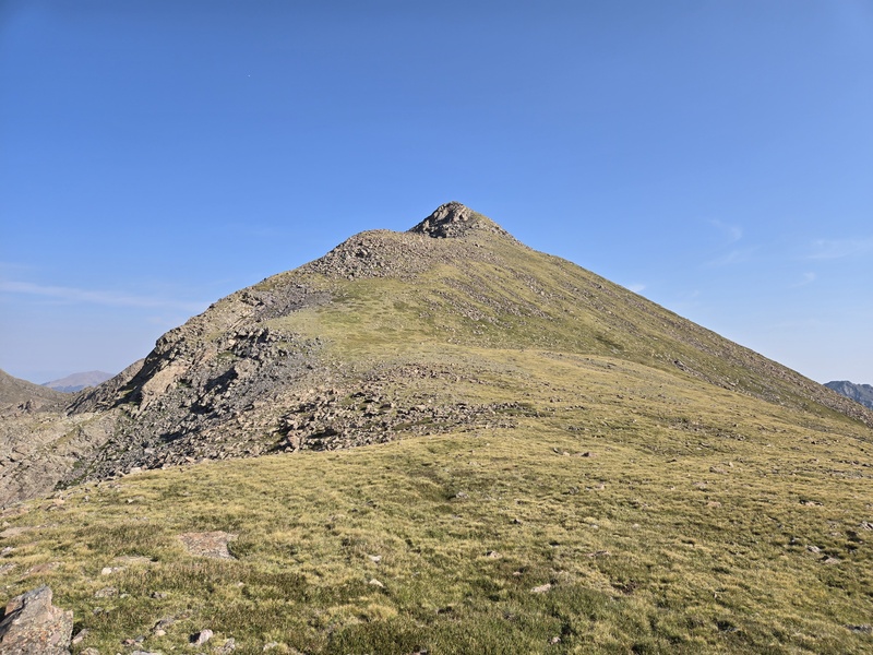
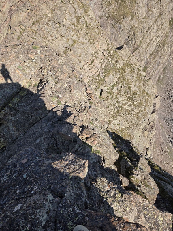
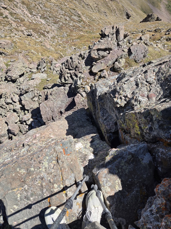
After the fun of the first peak it was a fairly ho-hum stroll to the second peak of the day - UN13,533 (you can thank Lidar for changing the designations of these unnamed 13ers - the second one was previously UN13,517B). But my lungs reminded me that I had not yet gone back below 13k since gaining the ridge - nor would I for a good while... But as easy as the second peak was to get up (other than in regards to dealing with the sparsity of oxygen) it suddenly became dramatically more interesting on the opposite side. I looked at chipmunk's GPX tracks and thought: "I don't want to drop down on THAT face!' So I decided to see if I could make ridge proper go. So I ended up climbing straight down a class 5 cliff face, reminding myself repeatedly of the first rule of climbing: "Don't climb down what you can't climb up! (and vice-versa)". I was almost all the way down a cliff that was maybe 20-30ft tall when I realized there were seemingly no good holds for the last little little bit and there was a gouge right along the bottom leaving basically a bit of a crevasse (for lack of a better word) right where I would have wanted to stretch my feet down to. There was an option to keep climbing down further to the side but it was getting increasingly exposed and just then I started to step onto a rather large rock that wiggled far too easily. I was already pretty much in a no-fall zone and things were only going to get more sketchy if I continued down along the outer face. More inwards away from the exposure, I just wasn't seeing any decent holds. For one brief moment I had the crazy idea pop into my head: 'dude, I think I can jump it!' My feet couldn't have been much more than 5-6ft above the saddle at the point, and the landing zone was fairly protected if I rolled inwards. But... there was another rock tower on the other side. It looked like I could probably climb up that but I had no way of knowing if the other side was just as bad, or maybe even worse than this - or if yet other towers/cliffs might be lurking beyond. There was also a possible walk off on the other side of the saddle but I couldn't tell for sure what that emptied into. So, with great reluctance I climbed back up the cliff I had meticulously climbed down - deciding that discretion was the better part of valor, since too many SAR calls have came from people doing unreversible moves... (A friend would later comment, upon hearing me describe this section: "Glad you didn't do any cliff-diving. though - I hear that only pays off at Casa Bonita.") 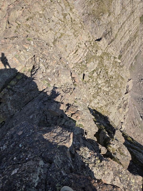
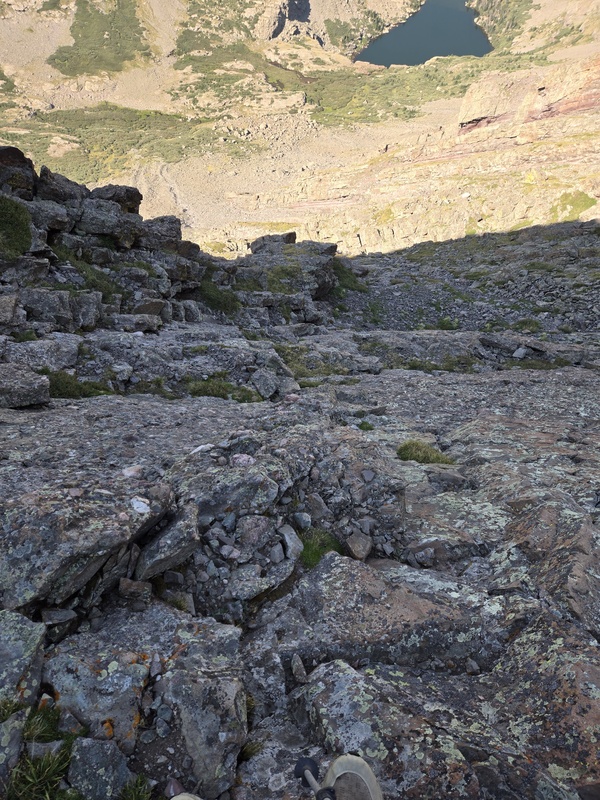
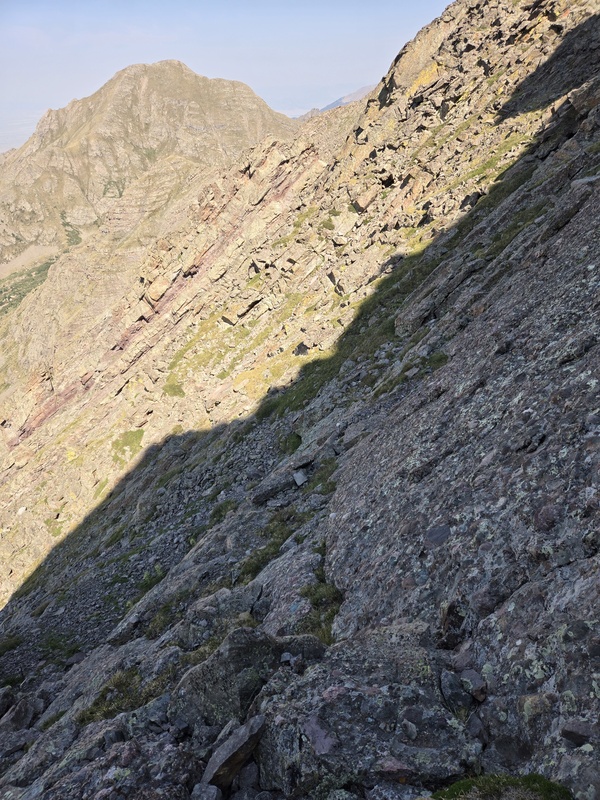
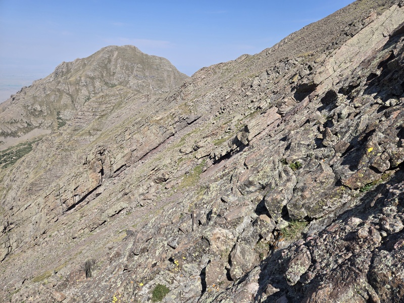
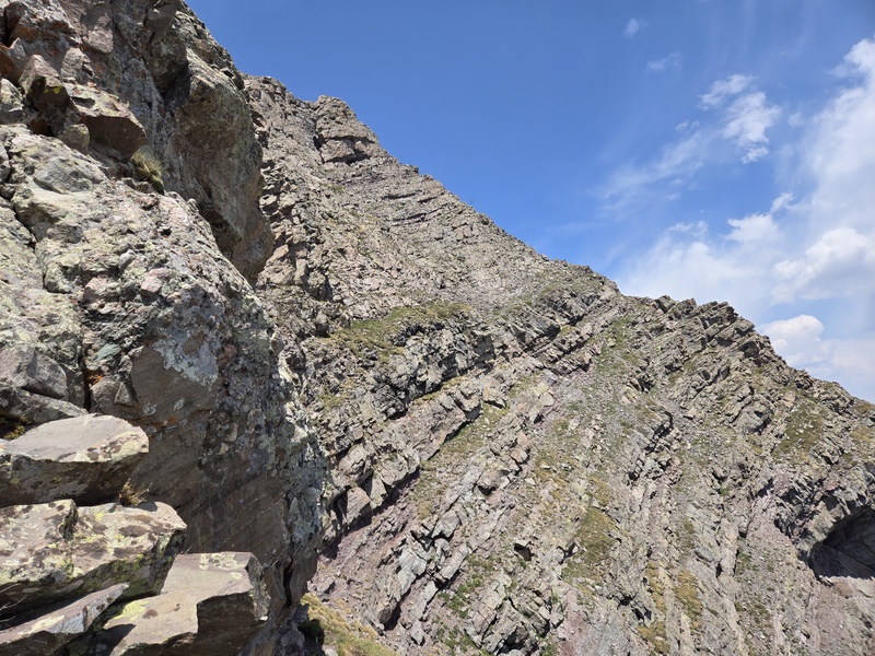
Now, that left me to backtrack a little and try following chipmunk's gpx tracks down the face of the mountain overlooking Willow Lake. That downclimb was like the bastard, mutant child of Crestone Conglomerate attempting to mate with the Flatirons and then being subject to a carpet bombing strike that attempted to kill the mutant offspring but instead only left a bunch of debris everywhere. Or you might also call it a desecrated version of the Flatirons. In other words, it was a steep, loose mixture of exposed class 3 and 4 with just enough Crestone Conglomerate to get your hopes up but just enough steep, loose garbage on slab to drive you insane. 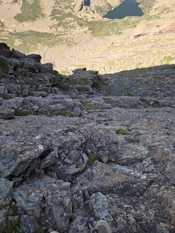
I could only take this for a while before it was just madness and I decided that I appeared to be past where I had gotten thwarted on the downclimb, and so - not having any idea what was above me - I decided it surely couldn't be worse than the garbage I was on, so I cut back up to the ridge. 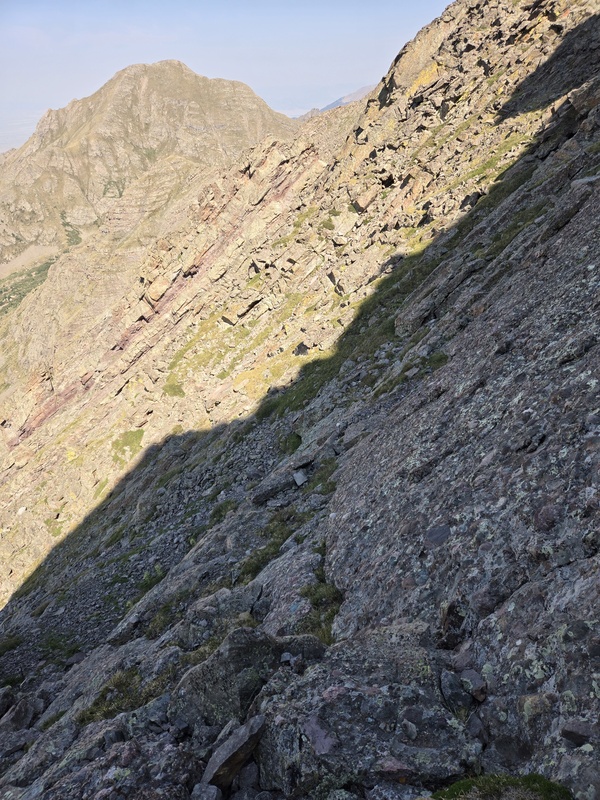
Turns out that was definitely the right call, even though it was not yet smooth sailing from here. I got around the cliff I tried to downclimb and considered going over there to investigate since it looked like maybe I could have walked right out of there if I had made the risky hop down to the saddle, but I wasn't 100% sure from a distance where exactly I had climbed down to and there were still bigger challenges ahead... 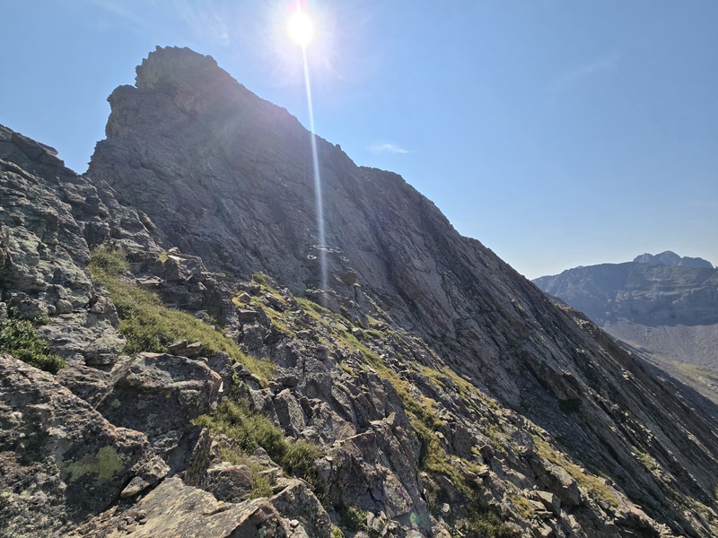
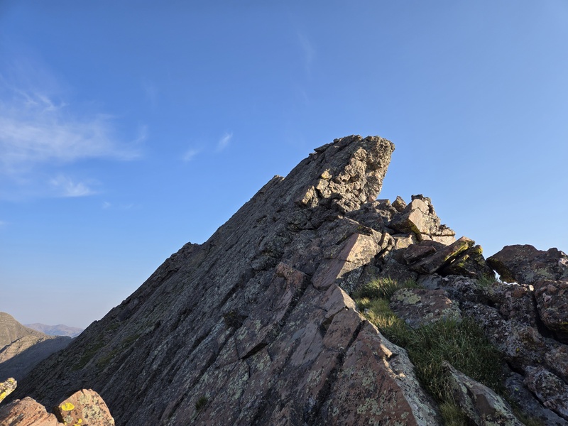
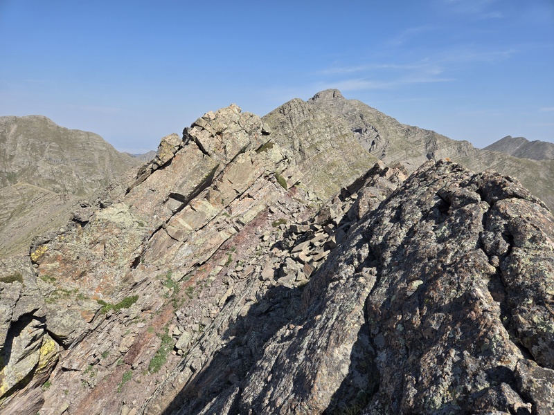
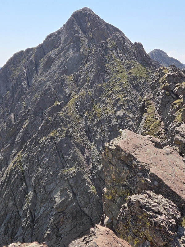
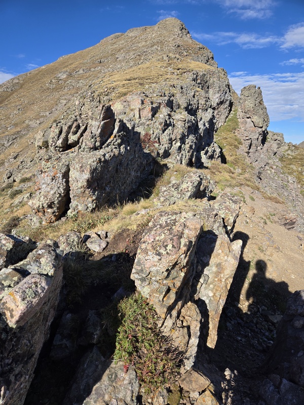
Just ahead of me as I regained the ridge there were some large rock bands (not the musical kind...) that turned into rock towers and this region quickly became a little bit of a maze to weave through. 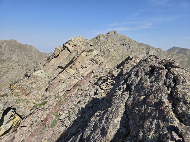
I kept much of this at probably class 2 or 3 but only by weaving in between some class 5 towers (on another occasion I might have tried to engage some of the funner climbing here but I was already burning a lot of time and had multiple peaks on the to-do list for the day so I didn't want to slow myself down too much more). 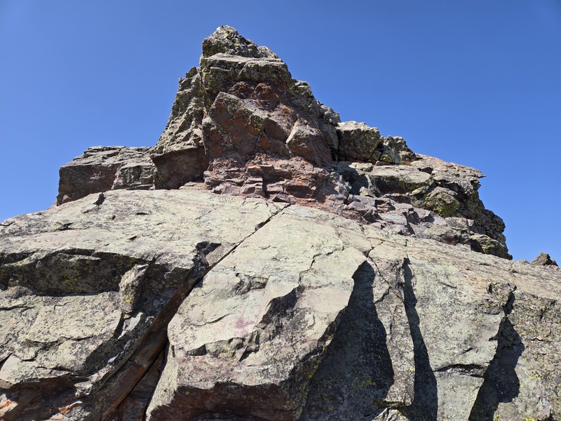
I eventually ended up dipping into the upper part of a steep, ugly gully to pass between some gnarly rock formations and get back over to where I could rejoin the gpx tracks that I had abandoned earlier. 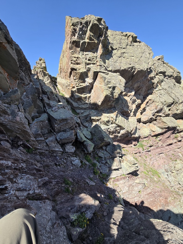
Finally I looped back around onto the face in a region that was slightly less messy than before and that slowly mellowed out into tundra again. 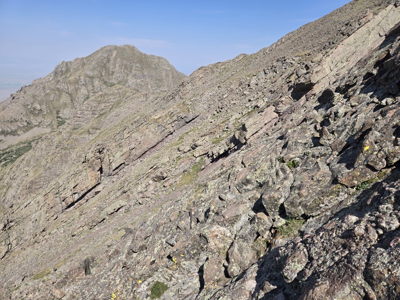
By the time I got to where I could look back on where I had been, I was completely disoriented in terms of being able to pinpoint where I had tried to downclimb in order to determine how close I was to succeeding. I think much of the view was blocked by rock towers that partly blended into the background so I would have to come back and explore some more to see if there was a better way to hold the ridge - though I kinda suspect going the opposite direction might turn this into a comparatively easier up-climb, since I at least tend to find it easier to climb up into the unknown rather than to try to downclimb an unfamiliar route, but once you know you can get up, coming back down is easier. 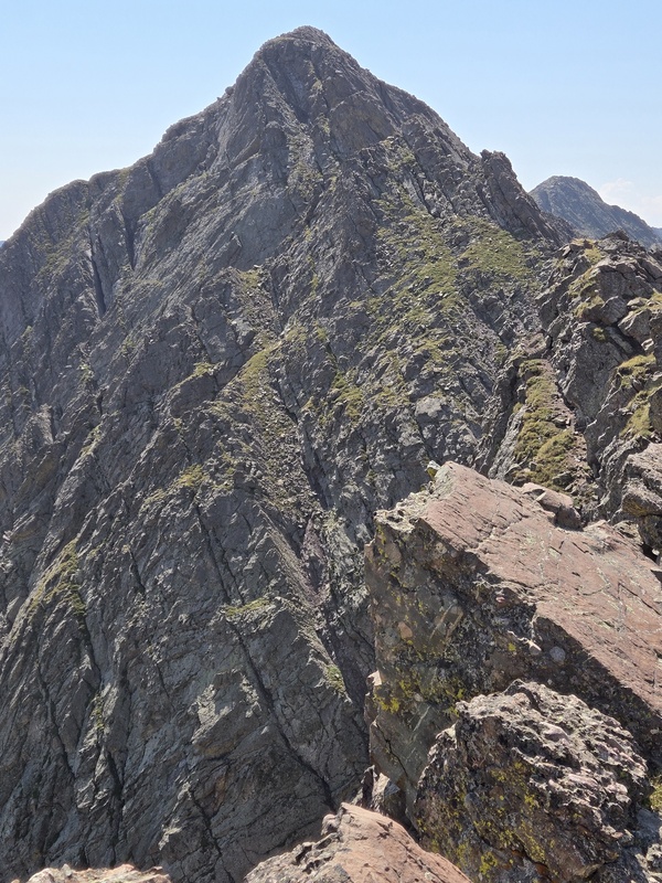
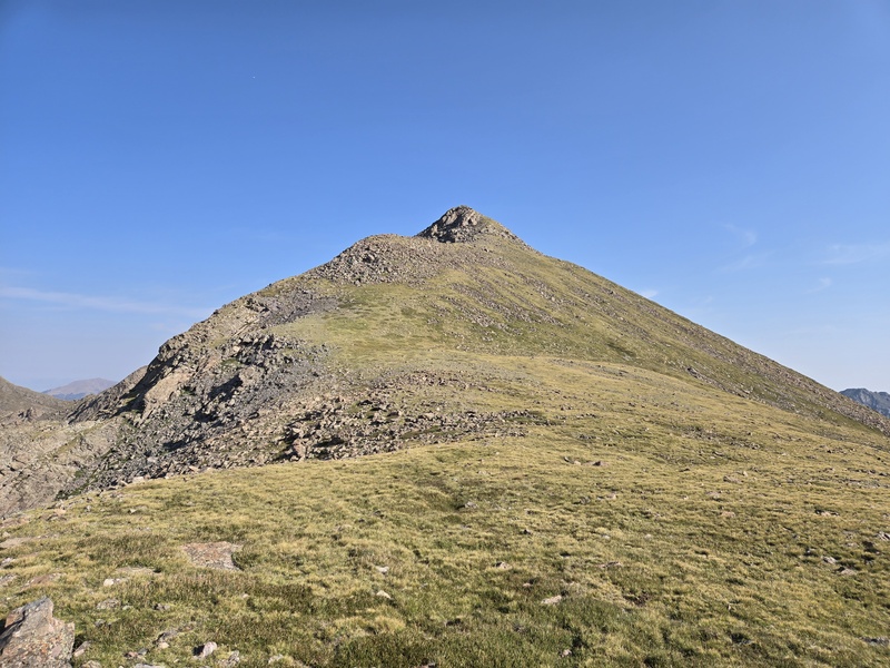
The third peak of the day - which like the first is UN13,543 - was so mild as to be forgettable except for providing a little relief in the middle of the route. 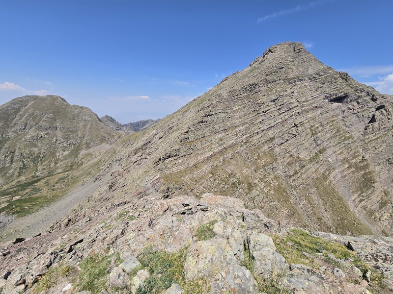
The one thing this peak does have going for it is a super sharp drop opposite of the really gentle slop on the Willow Lake side. So you can walk along the edge if you want to enjoy a little bonus exposure! 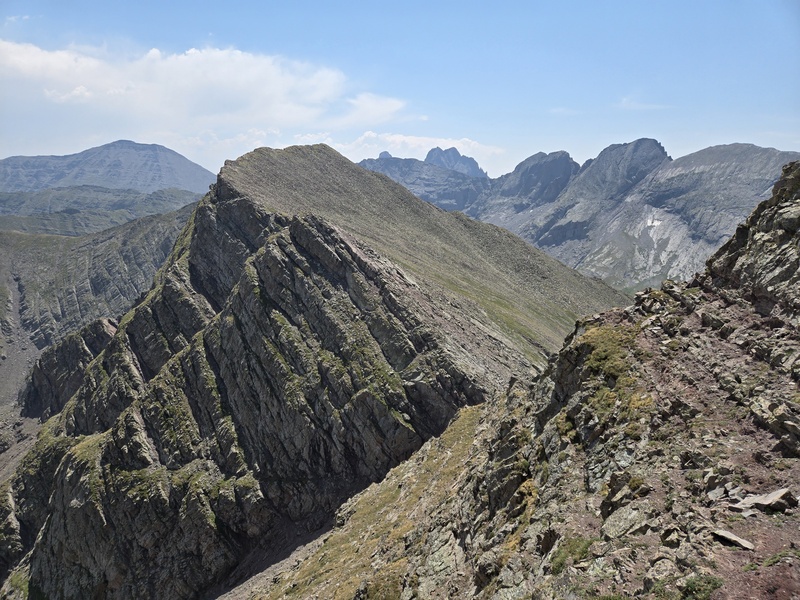
Upon coming up to Adams, I was originally planning to just follow the ridge straight up but seeing some more towers of unknown nature, I opted instead to follow closer to the few different tracks I had grabbed for this peak and went out along the ledges along the face instead. In retrospect I kinda wish I had given the ridge a shot because I think it likely would have gone fine, especially if I had stayed a little left, but as is, I still got there. Those ledges though felt like they kept going and going and seemed like I was surely going to wrap a complete circle around the mountain given how many turns I passed around. 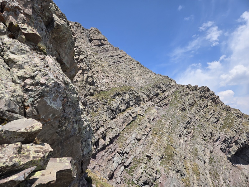
From time to time I looked up to see if I could shortcut up to the summit but things were looking less than optimal, so I continued along the ledges until I got to an easy ridge running up. 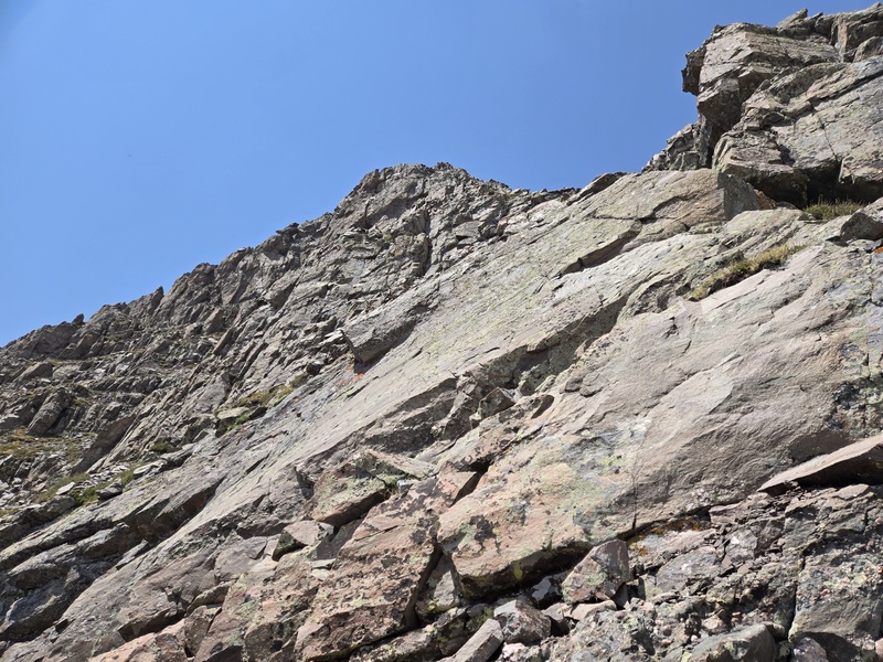
After what felt like forever, I finally got a "clean" line to the summit. 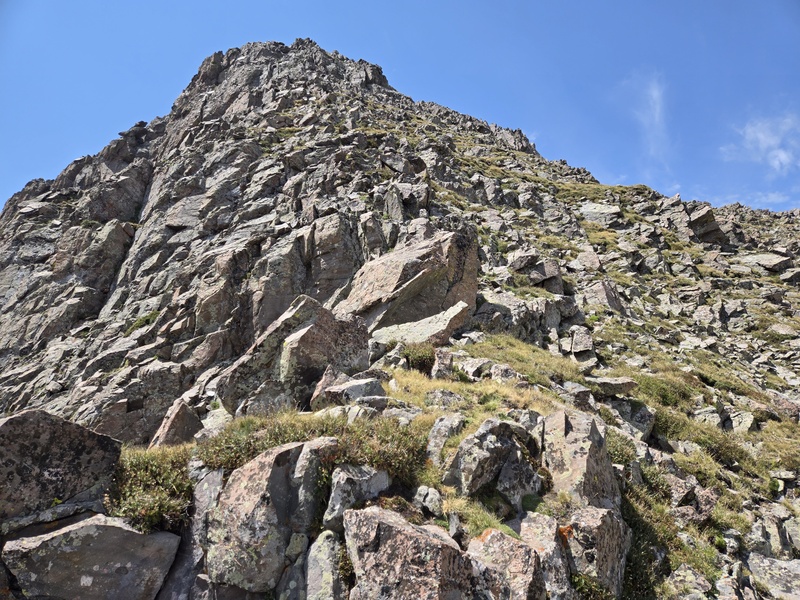
It was 1:22pm by the time I finally summitted Adams. The weather was still looking great but I had a 4.5hr drive to make back to Fort Collins and a class to lead at church the next morning so, although I still had energy to keep going, I decided it was best to come back another time for the last two peaks of the day. 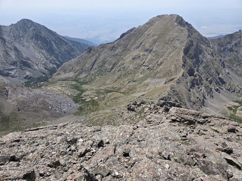
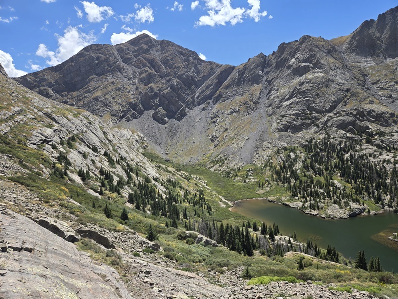
So instead of going down the NW ridge of Adams to UN13,159 and then cutting the slopes over to UN13,552, I instead went down the west slopes of Adams to the saddle and then dropped left into the valley heading back towards Willow Lake in the next valley below. I made the mistake of going a little past the saddle before descending which caused me to have to downclimb some mini-cliffs but nothing too terrible. Looking back up, it was clear that the saddle was the right place to descend. 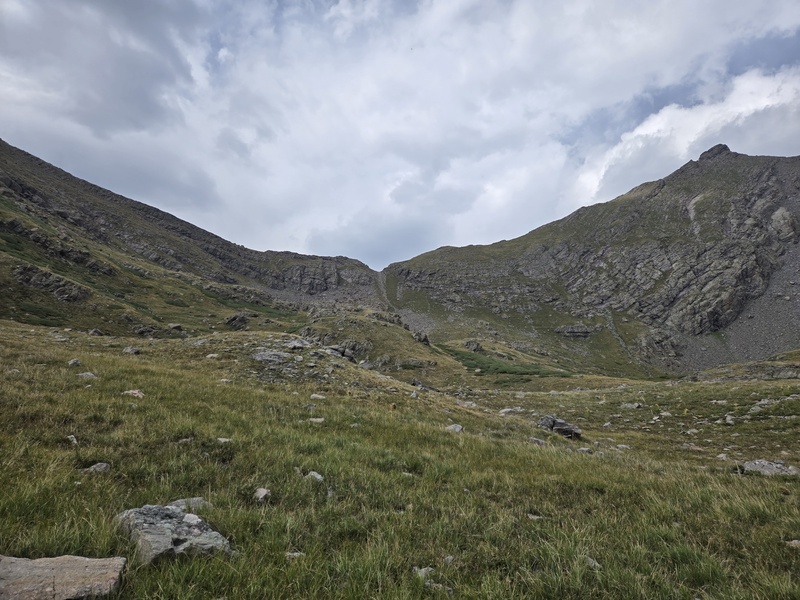
Then at the far end of that valley there was some willow bashing to do until I eventually found a partial trail through them which put me on the slopes dropping down to Willow Lake. When I later messaged chipmunk and made a comment about that somewhat unpleasant willow bashing, her response was: "well, the warning was in the name!" Lol, indeed. But all told, it was certainly not the worst willow bashing I've done. 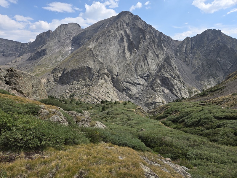
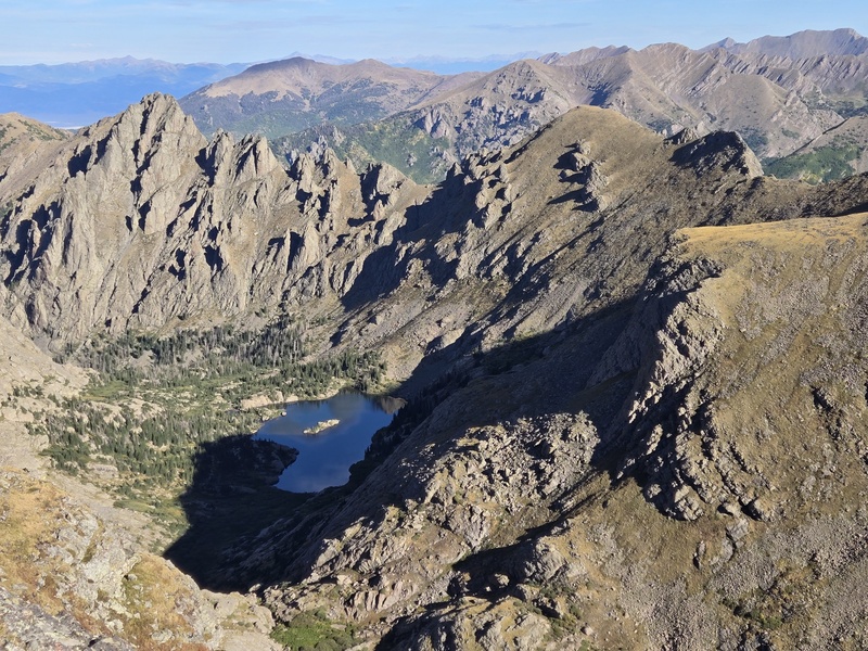
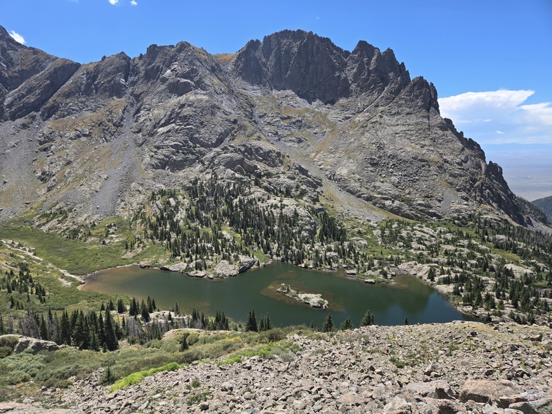
Soon I was looking down on the picturesque Willow Lake and looking forward to getting back on a solid trail where I could switch into cruise mode. 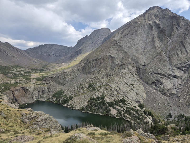
All in all, it was 6:21pm by the time I finally got back to the trailhead - which meant a long night with a little bit of pass-hopping and naps in the back of the 4Runner at said mountain passes but I made it back in time to lead the class the next morning. Adams Family Traverse Part II: South Crestone Lake Approach So yet another invaluable tip from chipmunk (you never know what you can learn if you learn to talk to a chipmunk!) was to consider going up the South Crestone trail to pick up the other two peaks. After checking out the map and seeing that trail started from the same trailhead and gave easier access to the remaining peaks, but without the willow bashing, I was sold. But I decided to repeat Adams so I could do the up-climb of the West Ridge (where I had bypassed some steep parts on the way down) and also descend the NW ridge in order to get a better picture of what the full traverse might have been like had I had time to complete it all in one day. Based on the gpx tracks, plus checking the topo map and correlating to what I was seeing visually, I found a relatively mild line sloping up to the ridge. There's a large post off to the left as you hike to the lake - that marks a good spot to turn to head up to the ridge. A gang of gals proceeded up ahead of me as I waited for a bit down at the lake for a little more light to appear. They fumbled around among some large boulders with their headlamps and I was able to pick a slightly more efficient line and overtake them in the growing light of day. On the way up I noticed something jutting up to the right and was tempted to head for it but determined after looking at GAIA that I would end up bypassing the first peak if I went there. Later on, I would end up using that bypass on the way out. 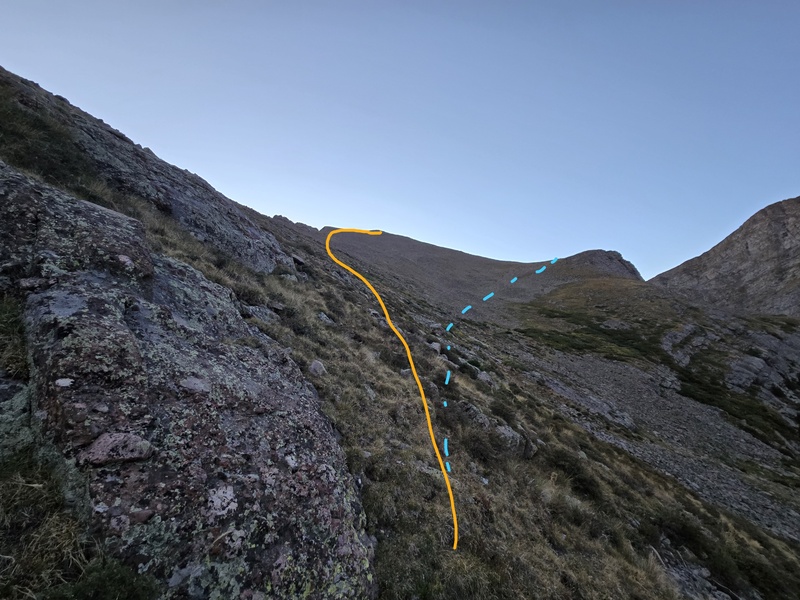
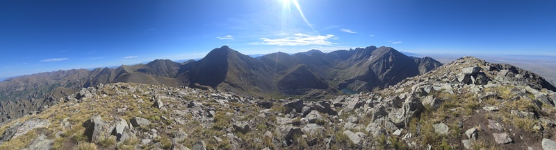
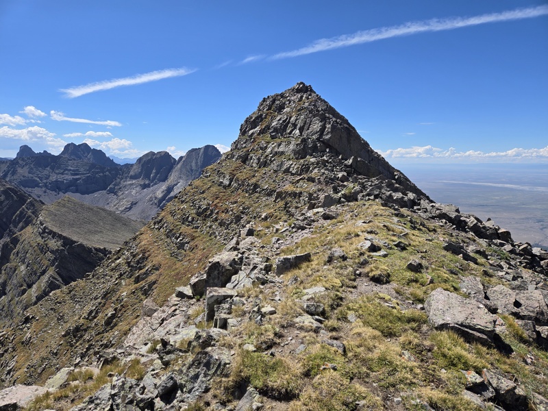
Once getting up a little talus it became an easy ridge walk on a mix of rock and tundra to an easy first peak of the day. 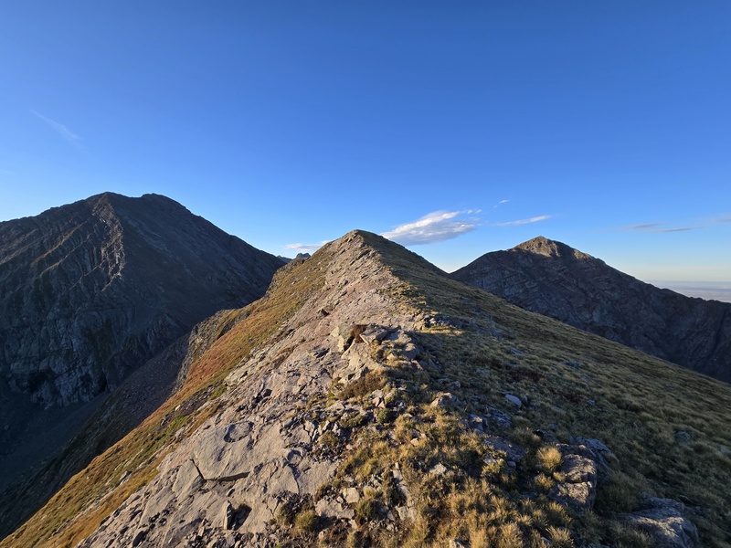
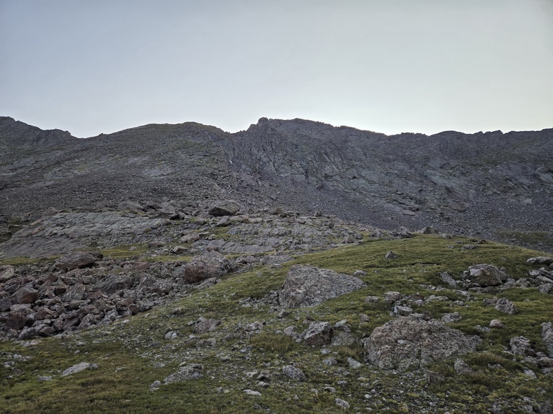
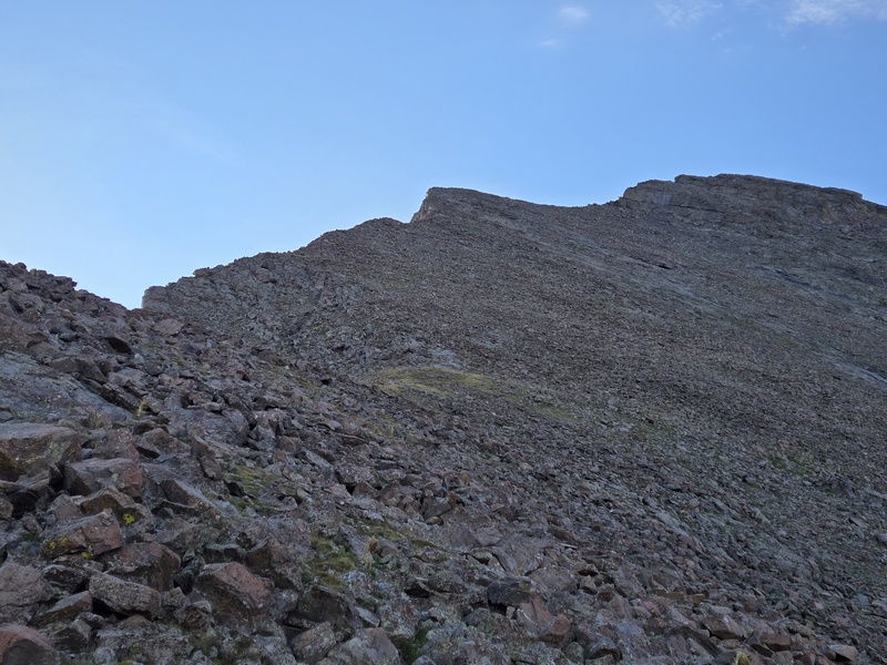
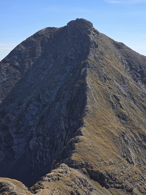
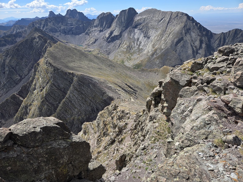
Initially the NW ridge of Adams looked like it might be crazy steep and loose, but that was to be a problem for later as I was cutting across the slopes below to go grab UN13,552 first. 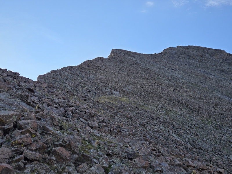
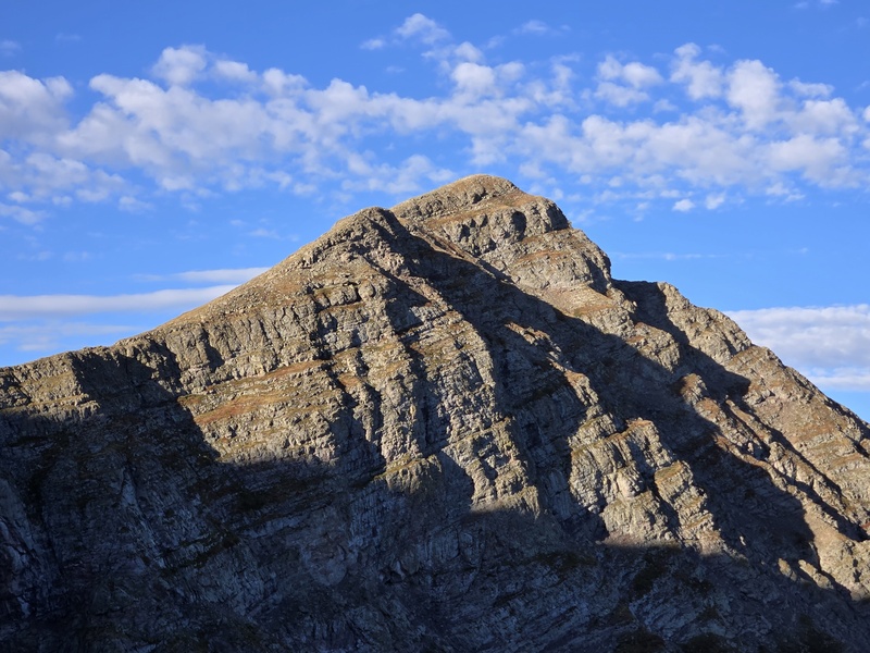
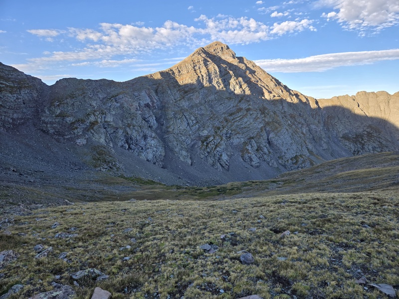
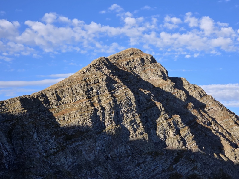
UN13,552 is another ranked 13er and rather picturesque in the early morning light. 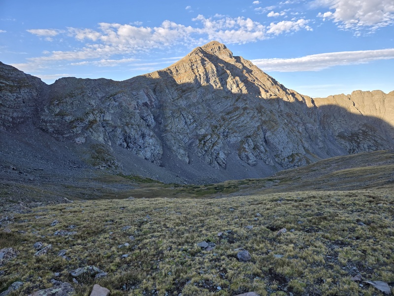
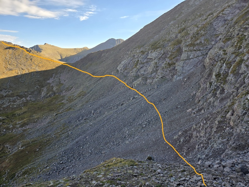
The most efficient line is to more or less hold the altitude of the saddle below Adams as you cross over then dip below some large rock slabs and aim for the garbage chute of a gully leading up to the saddle between Adams and UN13,552. 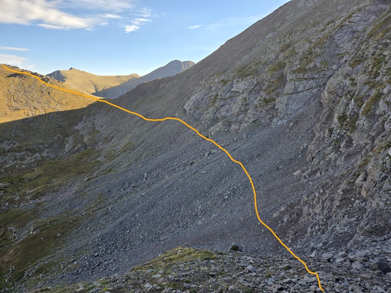
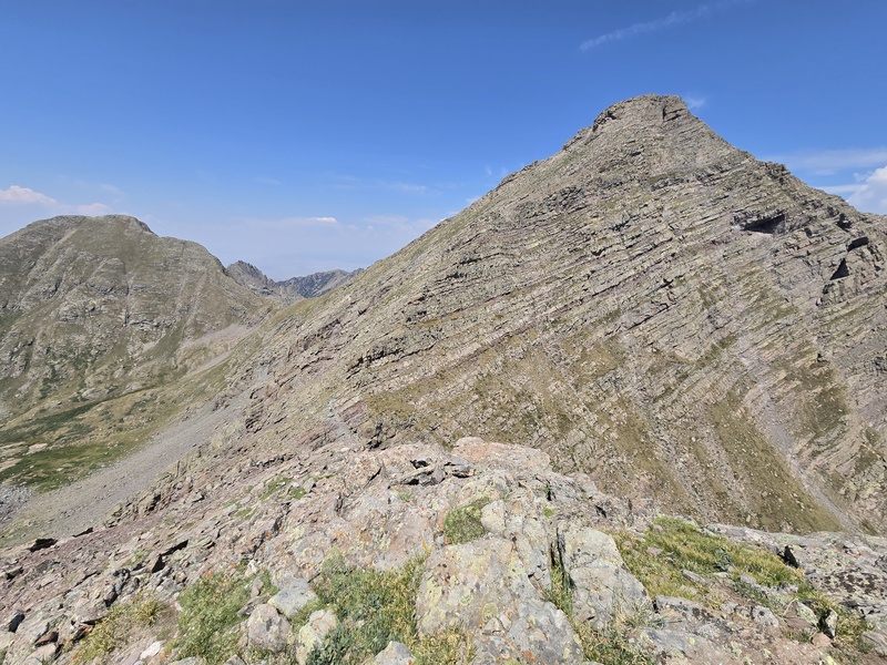
From the saddle it's largely a mix of tundra and rocks to the summit of UN13,552, but broken up by twisting, contorted outcroppings of rock that add a lot of character, but not too much difficulty to the hike up. 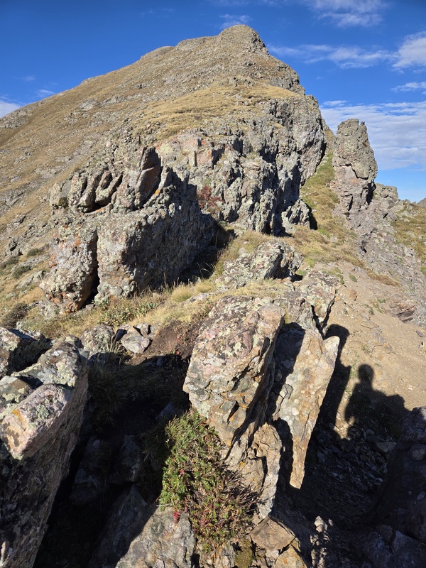
As I headed up, I continued to spy out the descent options for the end of the day - deciding the options on the South Crestone Lake side were more appealing than the Willow Lake side due to the... yep, willows. 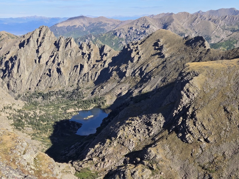
Before long I had tagged the summit of UN13,552 and turned back for a repeat of Adams. On my previous trek down this ridge I had skirted a good portion near the top due to unknown downclimbs that looked hairy. This time I decided to keep as ridge proper as possible - hoping the up-climb advantage would be on my side. 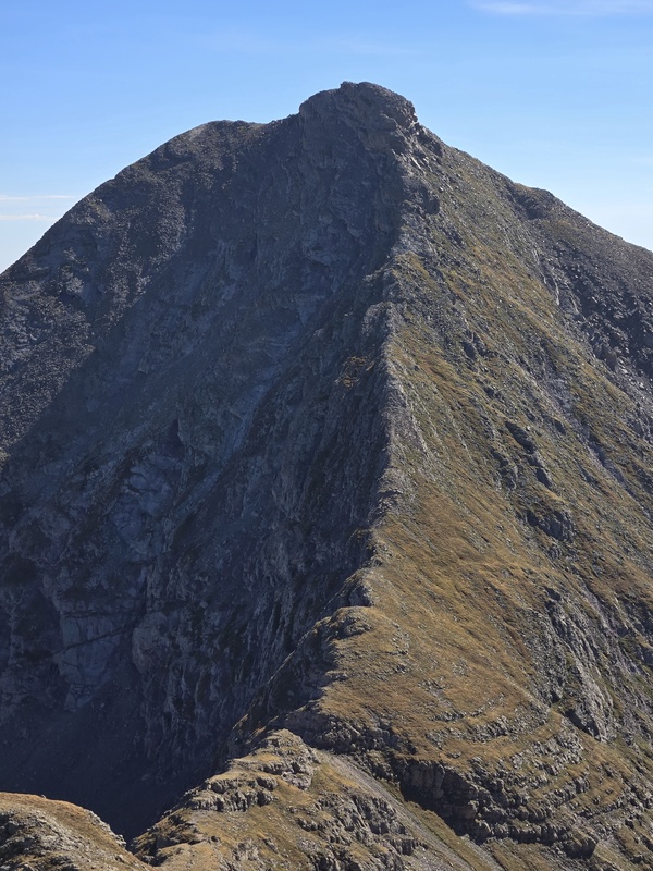
Just in case any weather came in unexpectedly, I continued to keep an eye on my exit path and confirmed that I should be able to easily skirt UN13,159 on the exit by aiming for the prominent outcropping I had spotted on the way up. 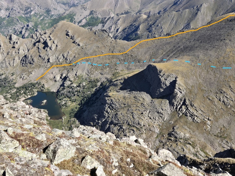
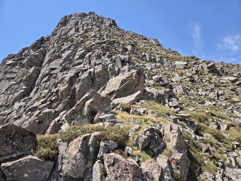
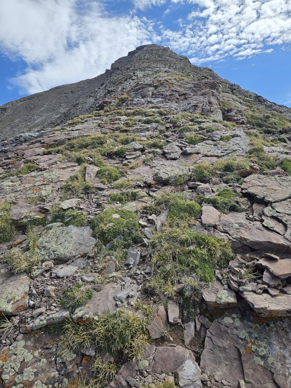
It wasn't too long before the tundra going up Adams West Ridge started turning to steep rock... 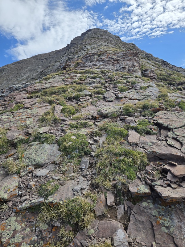
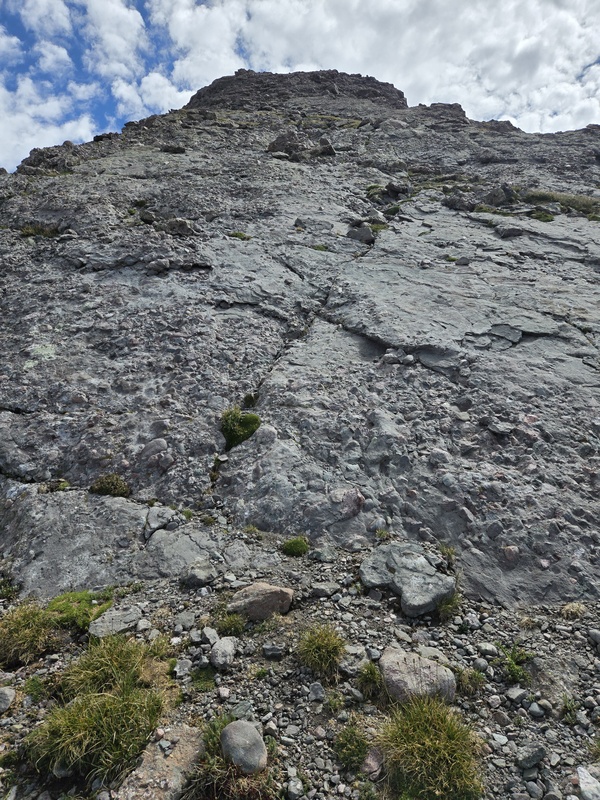
And then things started getting slabby... 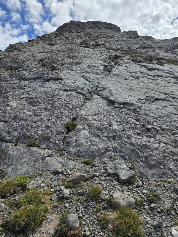
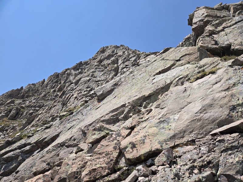
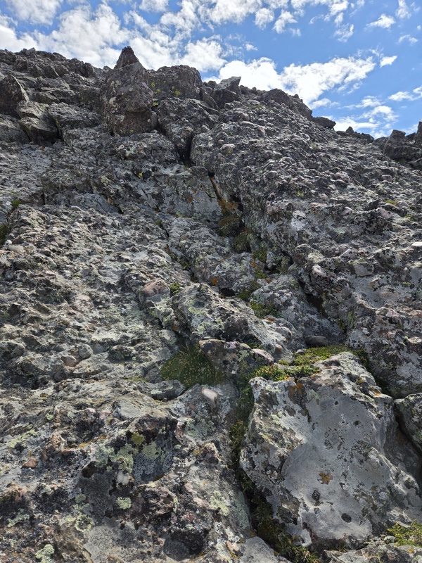
A little higher and I was delighted to see some of my favorite Crestone Conglomerate come into play (and this section without any inappropriate attempts to mate with other rock formations, lol). 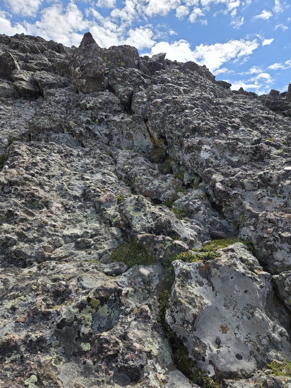
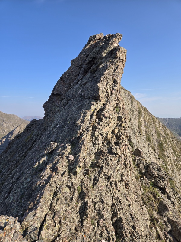
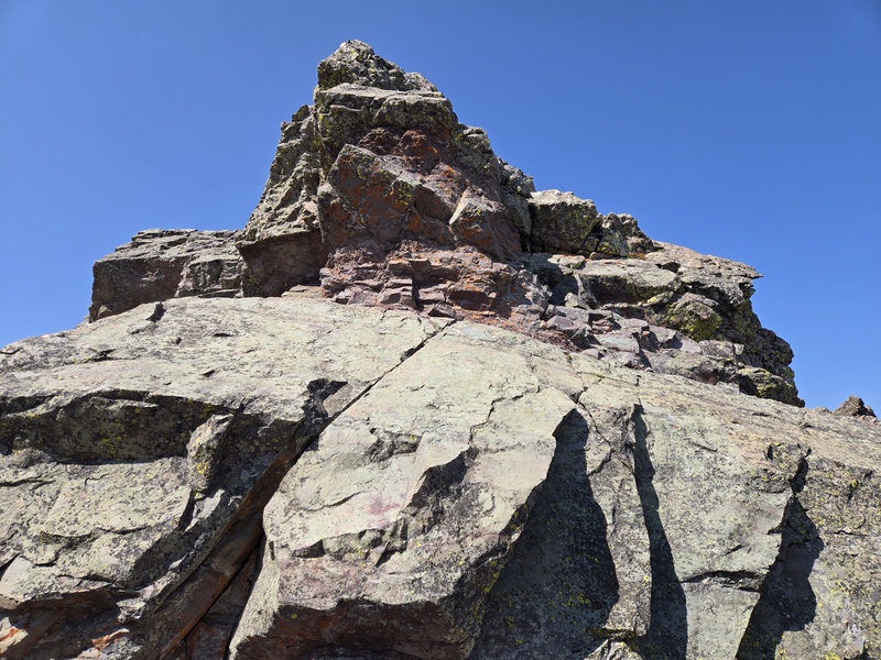
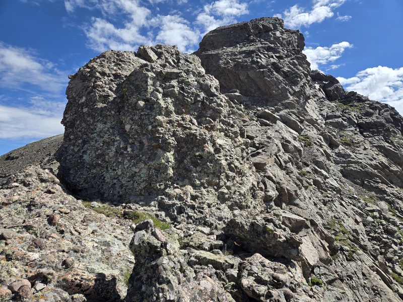
But then came the two towers... The first one was a fun little chunk of Crestone Conglomerate - up and over - boom! Sweet little hump! 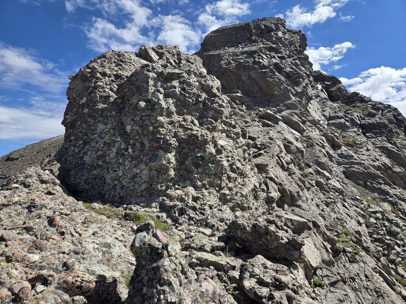
But then the second one was a flat out wall with significant overhang. I don't do overhangs except on the bouldering ramp at the gym (I've never built up adequate arm strength to want to try to solo something like that). 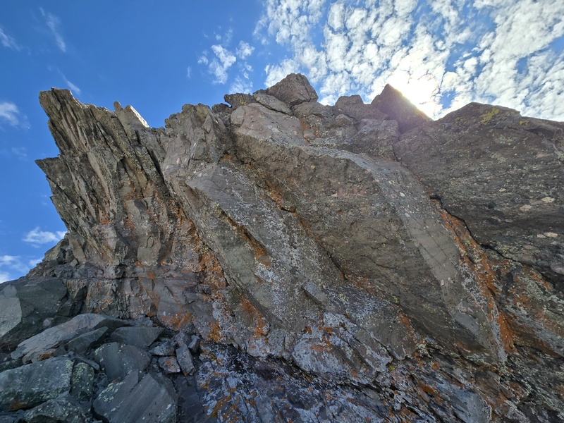
But I had I to drop slightly to bypass this on climber's right and then cut right away back to the ridge where I was soon back on some fun Crestone Conglomerate and shortly back on the summit of Adams for the second time in a couple of weeks. 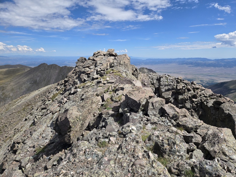
As I was going up Adams I looked off to my right at the route I had approached from a couple weeks ago to see what I would have hit if I had stayed ridge proper instead of going out onto those never ending grass ledges. If you go partway onto the ledges and then try to climb up then it looks like it could be a bit of a chore. I didn't get a full look at what it was like to cut up before then but I suspect it would be not that bad... 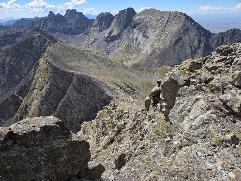
Coming off of Adams towards the NW ridge I decided to hit an adjacent little hump on the way down. A beeline approach had me almost get stopped by a small cliff band. It looked like I could have probably cut around to the right a ways to bypass it but I found a weakness that was either class 4 or possibly low 5th and decided to climb down that since I hadn't gotten my fill of scrambling yet - with this end of the Traverse being more mellow than the opposite side I did a couple weeks prior. 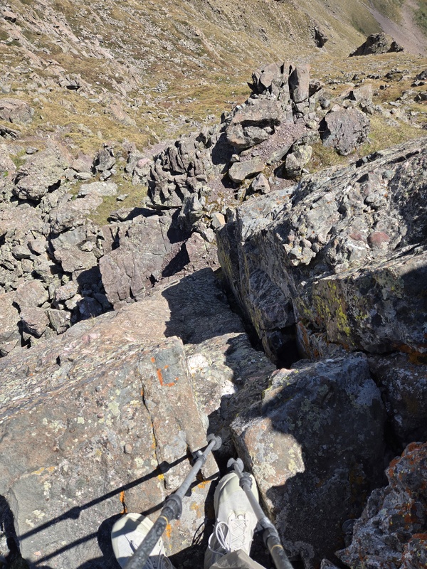
Looking back up at Adams after heading over to the adjacent hump confirmed I could have probably skirted the minor cliff band to skier's right if needed. 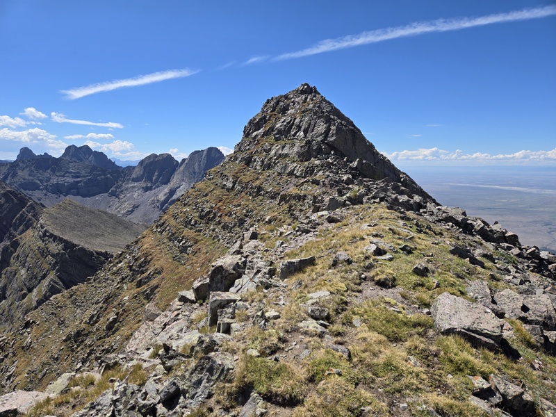
Now it was time to check out that steep looking descent down the NW Ridge of Adams. By going all the way over to the little hump nearby, that lined me up to be on the edge of the ridge near the drop-off. Over there the rock was less terrible than it appeared to be on the face of the mountain but still a not entirely pleasant mix of tundra and talus - with the emphasis mostly on talus. 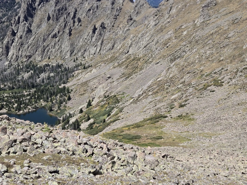
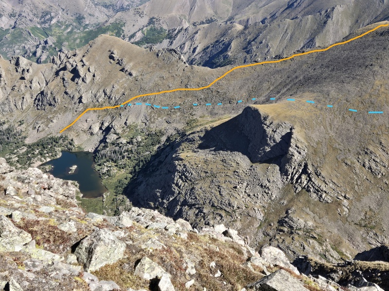
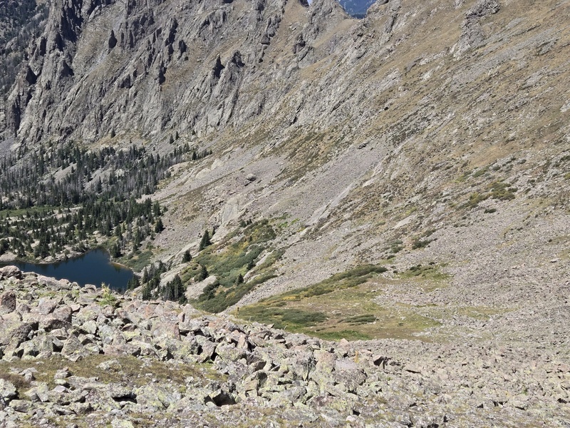
After what seemed like a rather long time I finally leveled out onto the bypass going out to the prominent outcropping adjacent to UN13,159 and successfully bypassed the peak I had already summitted that morning. Then it was a simple matter of not dropping too quickly to the lake so as to avoid some cliff bands that likely could have been problematic. 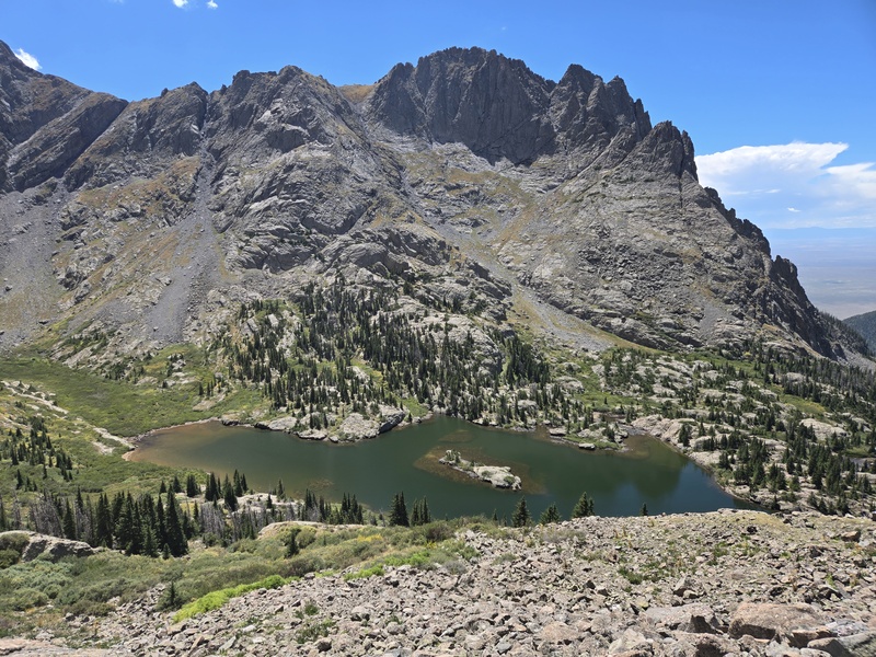
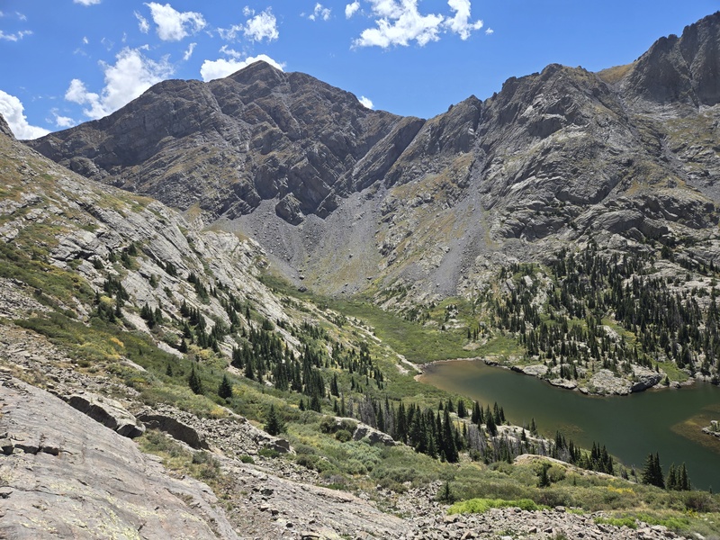
After that, the hike out was oppressively hot so I made several side trips to cool off in the stream, which slowed me down a lot on the return. Route Options So what's the best way to do this group of peaks if you want to do it all in one day? Well, there are many options but here are some possibilities: Options 1a and 1b: Come up the Willow Lake trail, hit UN13,543, UN13,533, UN13,543 (the second one), Adams, UN,13159, then cut under Adams to UN13,552. Return to saddle then either a) drop down towards Willow Lake and backtrack your route up, or b) backtrack under Adams and use the bypass below UN13,159 to get to South Crestone Lake and hike that trail out to the same trailhead but by a different path down.
Option 2: Start same as above but once on Adams, drop down to UN13,552 and then cut under Adams to UN13,159 and down out via South Crestone Lake
Option 3: Come up the South Crestone Lake trail, start with UN13,159, cut under Adams to UN13,552, then up Adams and over to UN13,543, UN13,533, and the other UN13,543 then drop down towards upper Willow Lake and out along the Willow Lake trail.
Option 4: Do option 3 above but after dropping down to Upper Willow Lake, go right across the valley and up Kit Carson North Ridge and finish off with Challenger.
Option 5: superhuman monster route - do option 3 above but continue along the ridge to Obstruction Peak (that ridge might go??) and then loop around to finish with Challenger. Might be some sick weirdo who has already done this - I would have been probably maxed out if I had done the full 6 mentioned here in one day.
Still others have looped in Fluted or... well, you get the idea... My Times: As usual, I'm no speed demon, but generally did better on the first weekend in part because it got oppressively hot on the second weekend on the descent and I made several side stops to cool off in the creek. Adams Family Traverse Part I - 8/8/26 2:45am start from Willow Creek TH 5:19am passing alongside Willow Lake 5:37am at turnoff for Upper Willow Lake (trail splits from Challenger) 6:25am cutting up to ridge just before Upper Willow Lake as others cut the opposite way to Kit Carson North Ridge 7:15am gained the ridge and took a 15min or so break 8:25am summit UN13,543 (near Obstruction Peak) 9:10am summit UN13,533 9:31am aborted sketchy class 5 downclimb after almost getting all the way down 11:07am hit all potential summits for the next UN13,543 11:49am continue after long break 1:22pm Adams summit 2:54pm saddle between Adams and UN13,552 4:26pm back on main trail by Willow Lake 6:21pm back at Willow Creek TH Adams Family Traverse Part II - 8/22/26 2:40am start from Willow Creek TH 5:10am at South Crestone Lake - waited maybe 20-30min? for it to start to get slightly light 7am summit UN13,159 7:30am saddle below Adams 8:17am finished crossing over to the other saddle below Adams 9:08am UN13,552 summit 9:38am on to Adams ~11:20am Adams summit 1:41pm back at the post on the main trail 5:02pm finally made it back to the trailhead after multiple side stops Thumbnails for uploaded photos (click to open slideshow): 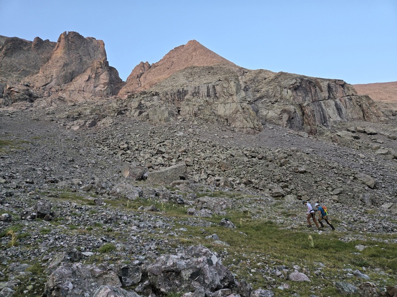
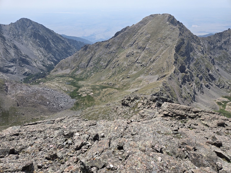
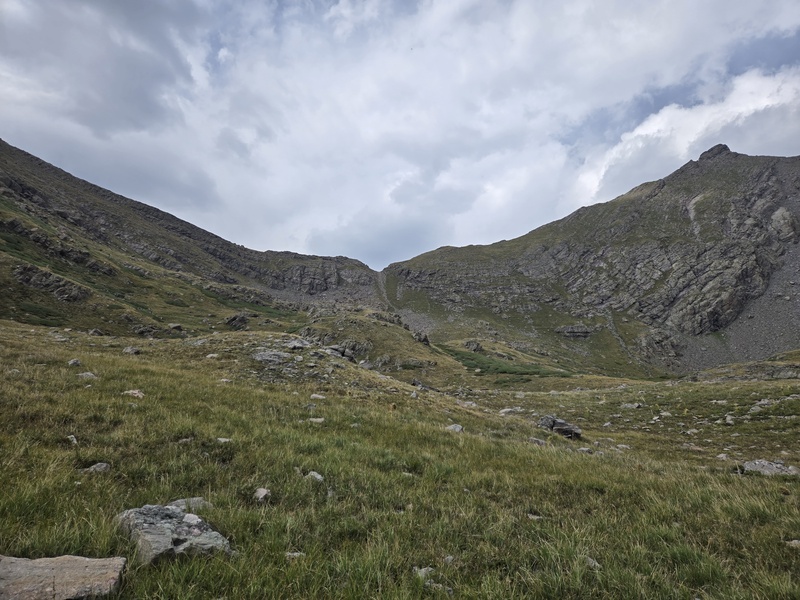
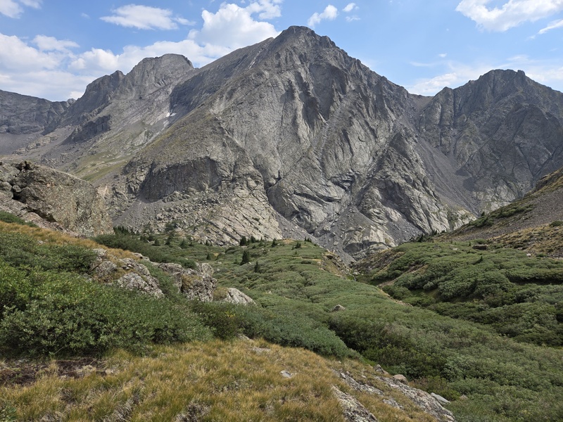
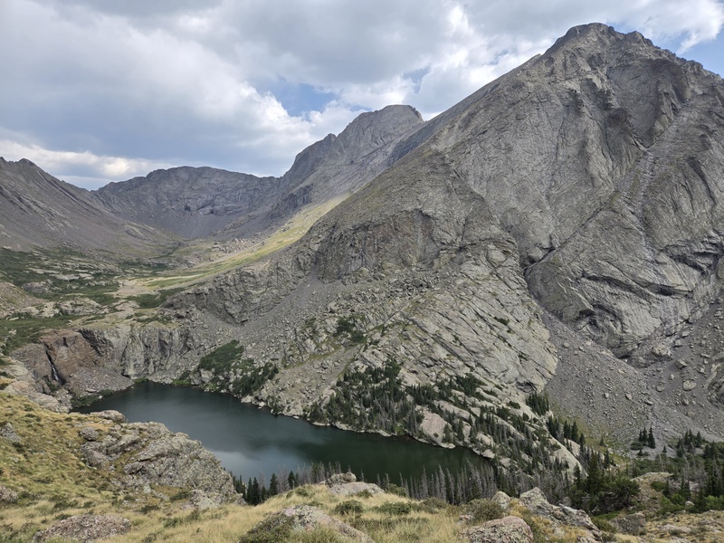
|
| Comments or Questions |
|---|
|
|
Caution: The information contained in this report may not be accurate and should not be the only resource used in preparation for your climb. Failure to have the necessary experience, physical conditioning, supplies or equipment can result in injury or death. 14ers.com and the author(s) of this report provide no warranties, either express or implied, that the information provided is accurate or reliable. By using the information provided, you agree to indemnify and hold harmless 14ers.com and the report author(s) with respect to any claims and demands against them, including any attorney fees and expenses. Please read the 14ers.com Safety and Disclaimer pages for more information.
Please respect private property: 14ers.com supports the rights of private landowners to determine how and by whom their land will be used. In Colorado, it is your responsibility to determine if land is private and to obtain the appropriate permission before entering the property.



 Download GPX file used in this map