
| Report Type | Full |
| Peak(s) |
Fletcher Mountain - 13,943 feet Atlantic Peak - 13,856 feet Pacific Peak - 13,965 feet Crystal Peak - 13,860 feet Peak 10 - 13,641 feet Peak 9 - 13,207 feet |
| Date Posted | 08/15/2026 |
| Date Climbed | 08/12/2026 |
| Author | NathanMihm |
| Tenmile Centennials |
|---|
|
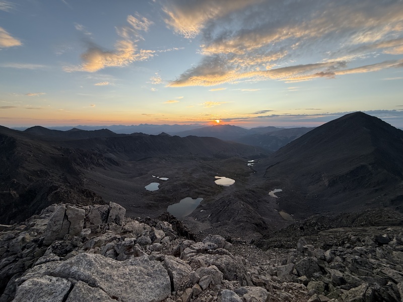
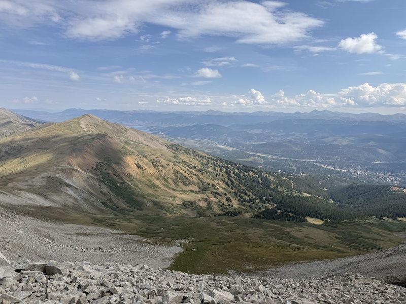
A good, mostly Class 2+ route to link up the four Tenmile centennials plus the option for two simple 13er additions, Peak 10 and Peak 9. Completed in just 9 hours car to car. I started at the Blue Lakes trailhead. This is probably the best option as it avoids the Quandary and McCullough Gulch parking restrictions. It also starts high and puts all the trail miles in the afternoon. Spruce Creek is an option going the other direction but requires 4x4. Started at 4:50AM after camping at Hoosier Pass. Fletcher Mountain. 6:20AM. Standard route. A bit hard to navigate in the dark. It's mainly just the Quandary West Ridge route until the saddle and then a short class 2 to the summit.
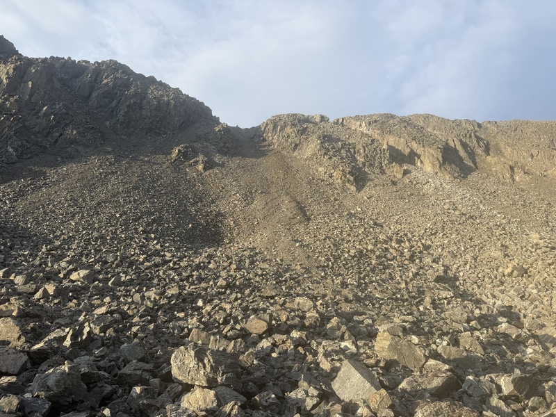
Atlantic Peak. 8:00AM. This connection the toughest part. The ridge itself is class 5, I went down into the basin, class 2+. I took the wide gully between Fletcher and Quandary. It is 35-40 degrees and very loose. I'm glad I was going down, sliding on my bottom in places. If nothing else, bring a helmet for this section.
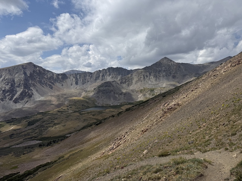
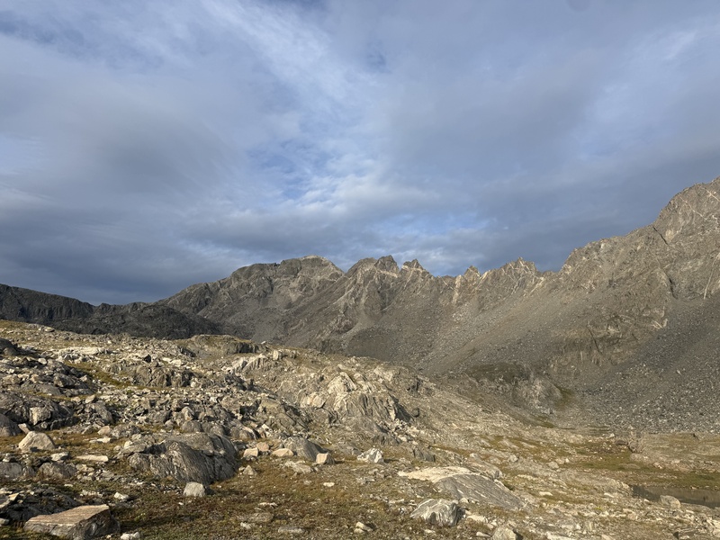
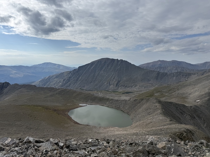
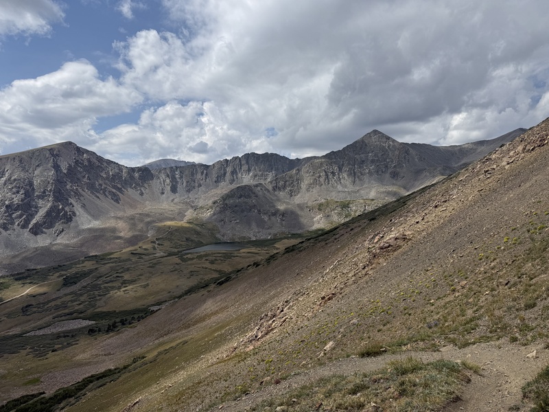
Once at the bottom, I realized there are faint switchbacks headed up Quandary farther east. This could be used instead, but would involve some extra vertical. Going the other direction that might actually be worth it. In the basin, there are talus and grass sections. A good stream bisects it, stocked up for the traverse ahead. On the other side, I went up the left gully. There is a sizable talus trail towards the bottom but I'm not sure where it goes so I just zigzagged straight up. It is a bit steep at the top but not nearly as bad as the descent gully. Once at the top it it a straight shot to Atlantic. Pacific Peak. 9:00AM. Direct traverse. There is an exposed talus trail leading around the sub peak between them. On the other side, I dipped down to Pacific Tarn just to say I've been to the highest lake in the US.
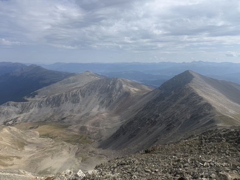
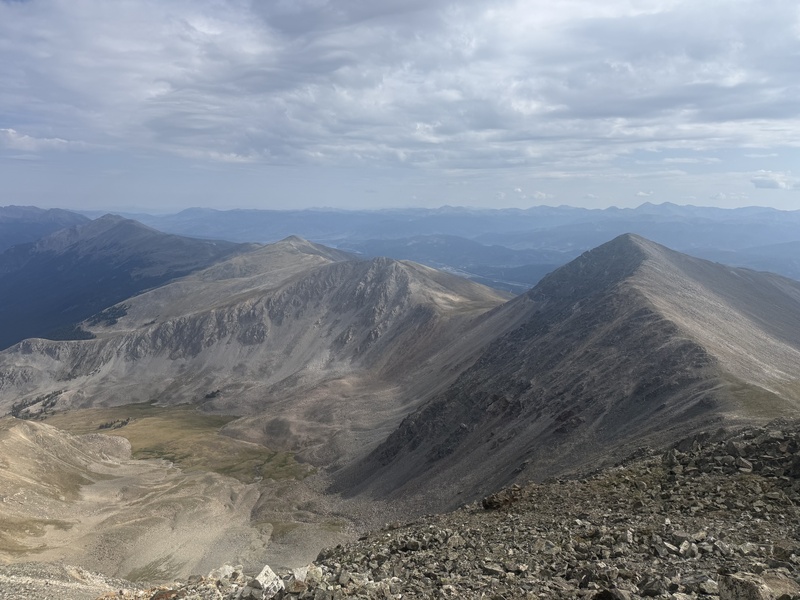
Crystal Peak. 9:50AM. There is a large gash on the ridgeline just past the summit. This is the only time I would say it might be an easy class 3. Overall, this traverse is easier than it looks from Pacific. Halfway through it switches sides.
Peak 10. 10:10AM. If just doing the Centennials, heading south to Mohawk lake is probably the fastest option. The Northeast Ridge has a better trail but will be longer. It also allows you to add Peak 10. At 383' prom it is a super quick 13er to add. Ridgeline up is easy C2.
Peak 9. 10:40AM. This is a bit less trivial than Peak 10. The ridge line down starts out with a decent trail before turning into large talus. A bit slow going, but there is grass at the saddle that continues all the way up to Peak 9. I was starting to get a bit concerned about the weather so I quickly started my descent.
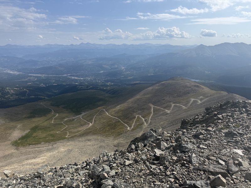
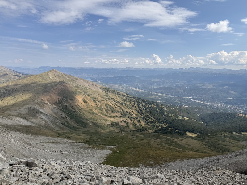
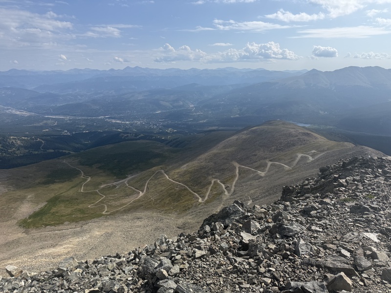
Return. About 10 miles with 2100 gain, so not trivial. I saw some bikers on the Wheeler Trail below and aimed for them. This trail is direct for getting back to Blue Lakes but still long. You must cross over the Peak 10 ridgeline before getting to treeline, however. Thankfully, I made it down before the storms. Later on there was a super close lightning bolt though. Once you approach Quandary, it turns into McCullough Gulch Road. I just road walked the approximately 3 miles back to Blue Lakes. You could potentially avoid the first 1.5 with the shuttle to Quandary TH. I don't know if it would be free though. Worst case you would need to buy a $7 shuttle to Breckenridge and not use the second half. The next 1.5 miles is up Blue Lakes road. I saw a handful of cars and it is a busy spot for tourists so you may be able to hitch this. Another option entirely would be to use one of the dispersed camping zones to park on McCullough Gulch. You could avoid the road walking by climbing Fletcher from this side, but have to deal with that nasty chute twice. Of course the best would be a multi-car arrangement but this route worked well for me solo and I don't mind trail miles.
These were my Centennials #65-69. Glad to get this many in a day without the mid-morning rush between trailheads. The day before I did Dyer/Horseshoe/Buckskin and following day Silverheels/Edwards. Finished at 1:50PM almost exactly 9 hours after starting. 19 miles, 8000' gain. Thumbnails for uploaded photos (click to open slideshow): 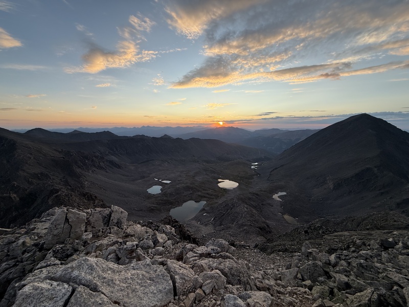
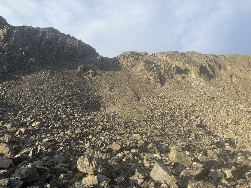
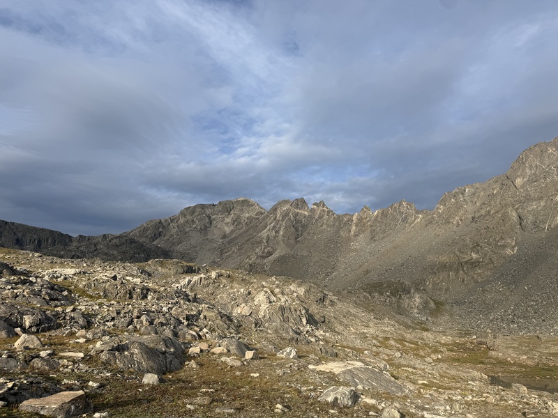
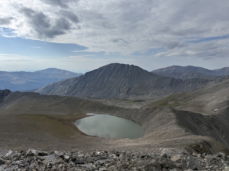
|
| Comments or Questions |
|---|
|
|
Caution: The information contained in this report may not be accurate and should not be the only resource used in preparation for your climb. Failure to have the necessary experience, physical conditioning, supplies or equipment can result in injury or death. 14ers.com and the author(s) of this report provide no warranties, either express or implied, that the information provided is accurate or reliable. By using the information provided, you agree to indemnify and hold harmless 14ers.com and the report author(s) with respect to any claims and demands against them, including any attorney fees and expenses. Please read the 14ers.com Safety and Disclaimer pages for more information.
Please respect private property: 14ers.com supports the rights of private landowners to determine how and by whom their land will be used. In Colorado, it is your responsibility to determine if land is private and to obtain the appropriate permission before entering the property.



 Download GPX file used in this map