
| Report Type | Full |
| Peak(s) |
Mt. Sneffels - 14,155 feet |
| Date Posted | 08/09/2026 |
| Modified | 08/10/2026 |
| Date Climbed | 08/07/2026 |
| Author | Paul M |
| The Sneffles maze - up the ridge |
|---|
|
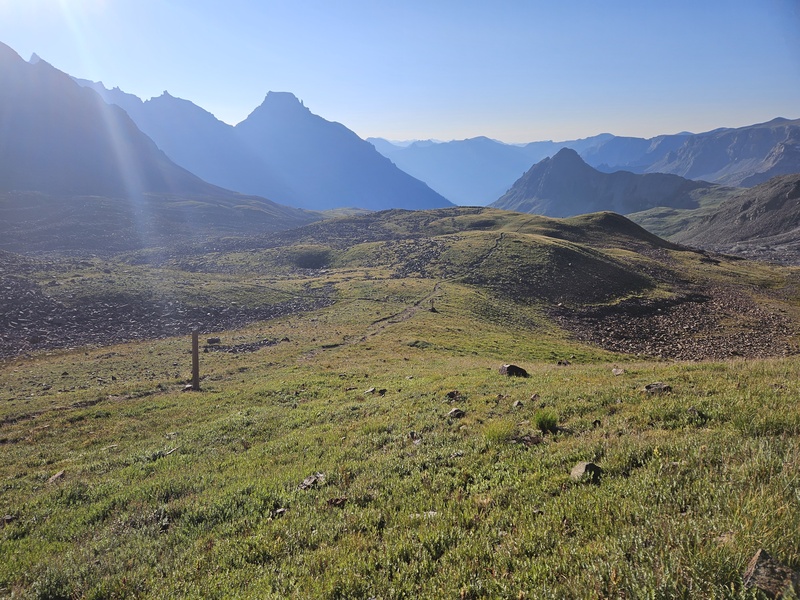
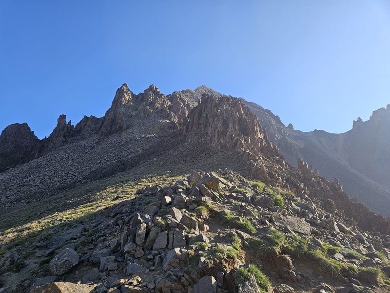
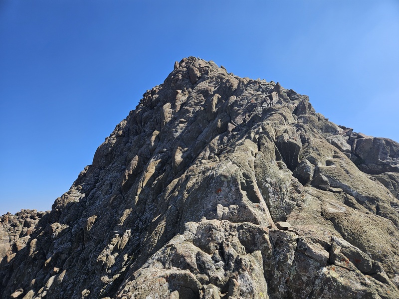
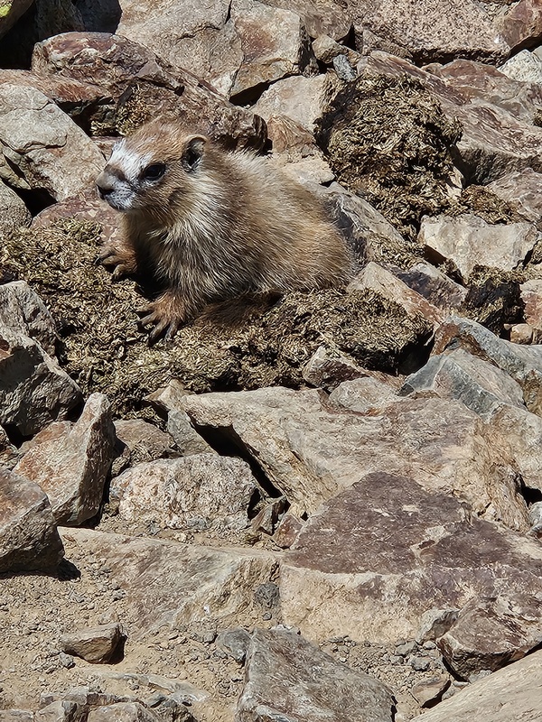
After climbing El Diente and Redcloud/Sunshine in close succession, I was looking for a shorter climb for my last one before leaving Colorado and returning to my real life and job. Sneffles turned out to be a great choice. With my rented 4wd, high-clearance Jeep, I drove all the way up to Yankee Boy Basin trailhead and started from there. I tried the more difficult route, the SW ridge, reasoning that I can handle class 3 and 4 climbing more happily than an endless, loose gully, which is what the standard route appears to be. The class 3 SW ridge is absolutely spectacular, but I have a few cautions about the route before I even begin: - Come prepared with the route photos from 14ers.com saved. The route is complicated and maze-like and it weaves from gully to gully within the complex ridge. The route, also, has no cairns to help (at least, none on the day I was there). - Either have a GPS device to track exactly where you go or continuously look behind you and take photos as you ascend. The route is NOT easy to find on the descent. (or, of course, descend the standard route.) - Wear a helmet for this route. I started at the upper trailhead, which requires a high-clearance 4wd to reach. The road is pretty nasty. This did mean I didn't gain the traditional 3000 feet, and in fact gained probably just under 2000 feet. I'm counting it. First of all, I already know I can walk up a road. That's not the challenge here, and and if I'd started low enough to gain 3000 feet, I'd have just been walking up a road. Plus, I'm not going for some official record. I just want to climb mountains. All the tough stuff is above the high trailhead. There were a ton of marmots and pikas on this trip! I see them on every 14er, but there were way more on Sneffles this day than I am used to seeing. 

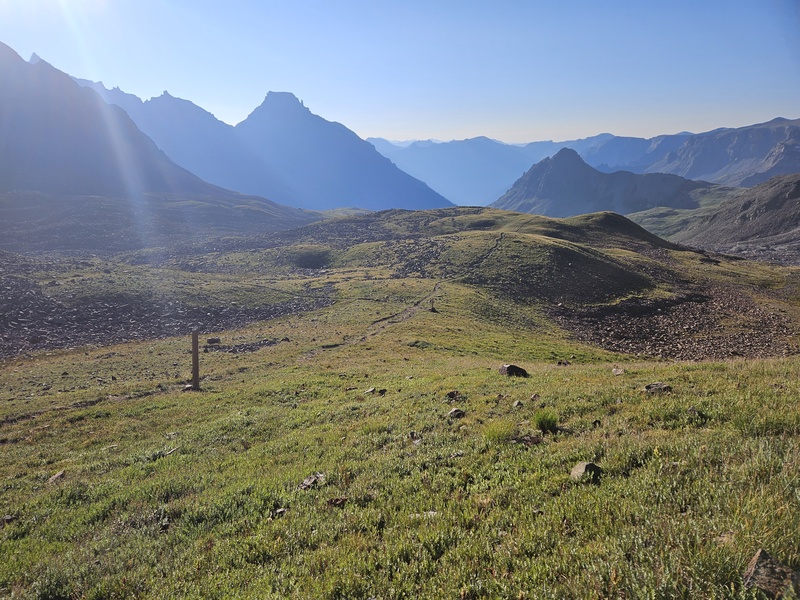
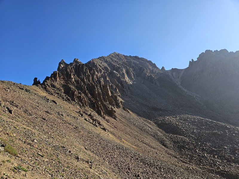


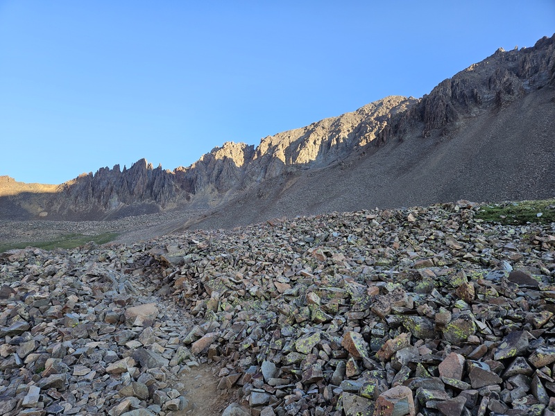
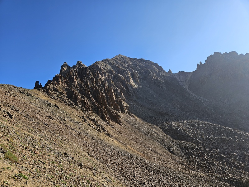
Once you reach the saddle (follow signs to "Blue Lakes Pass"), turn right and head up a climbers' trail to the left of the first ridge spikes. 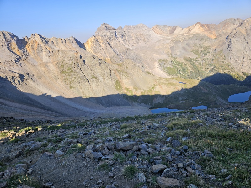
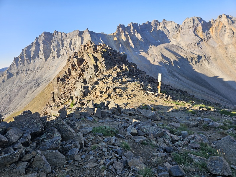
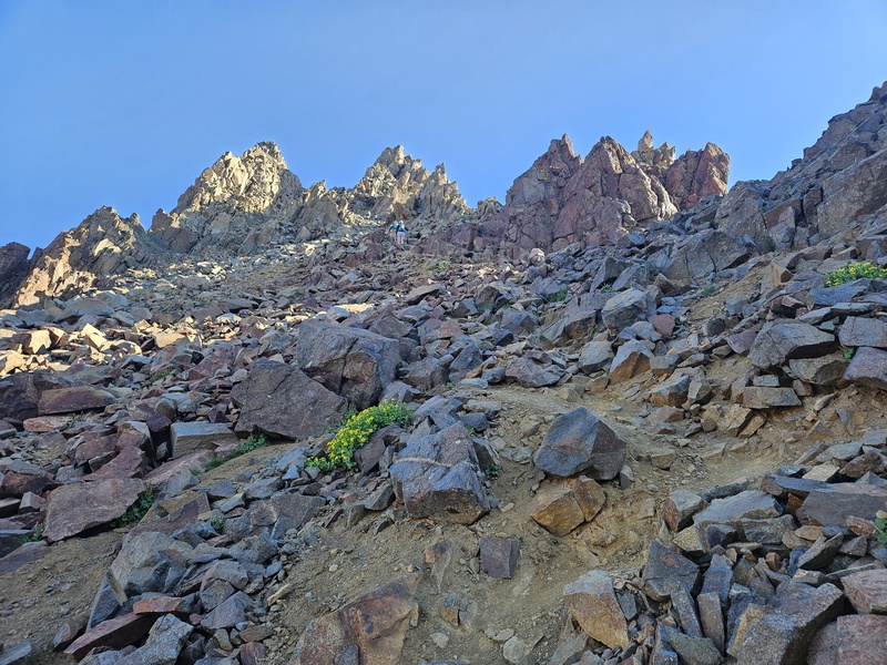
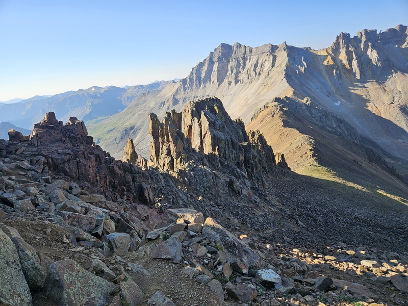
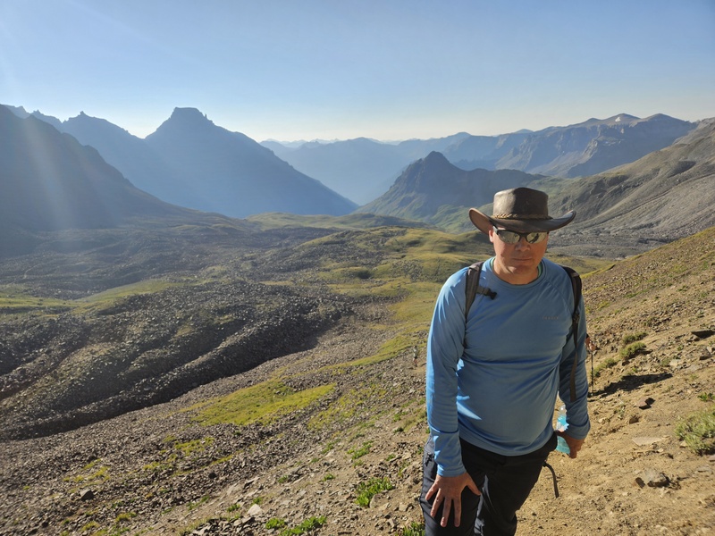
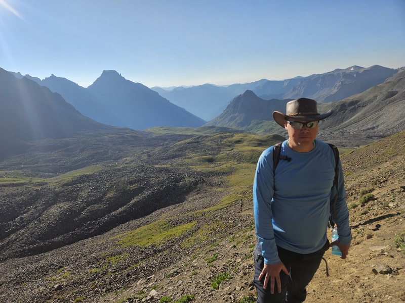
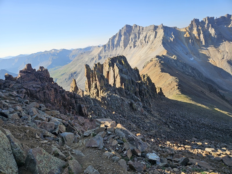
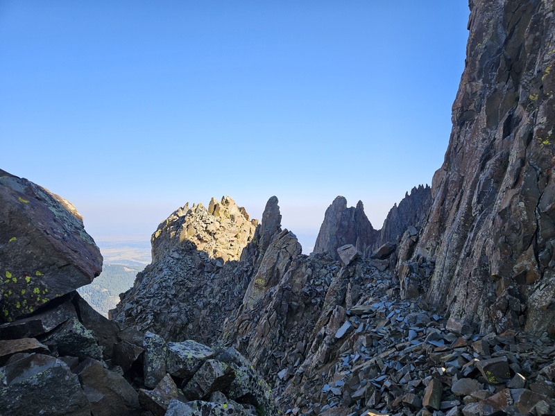
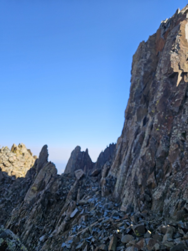
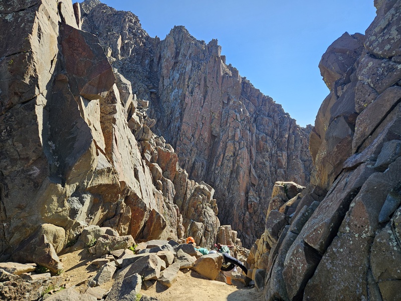
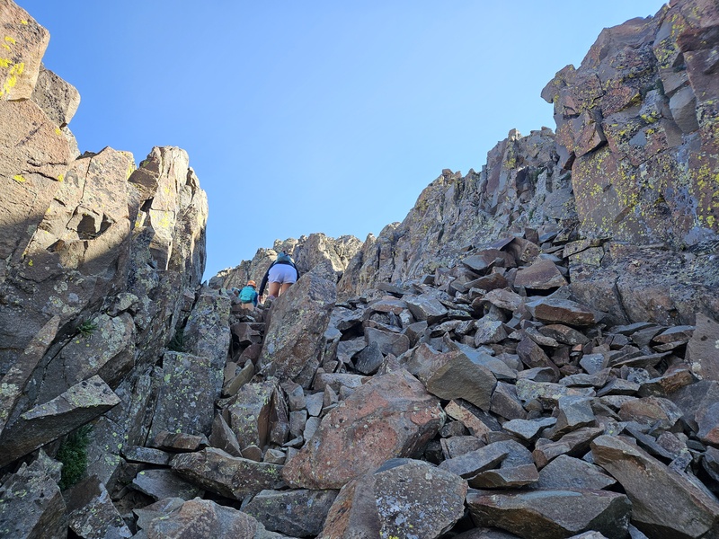
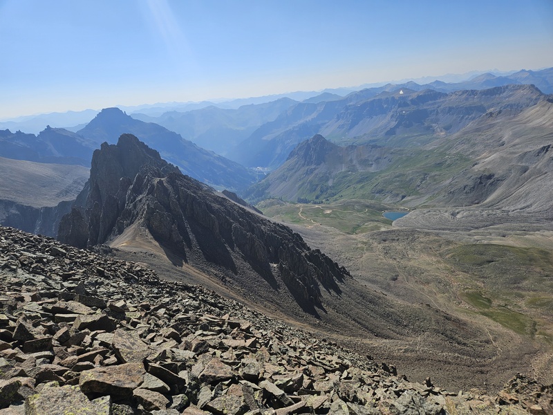
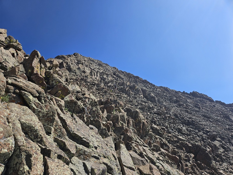
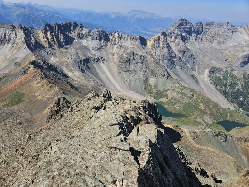
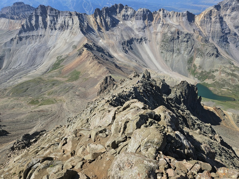
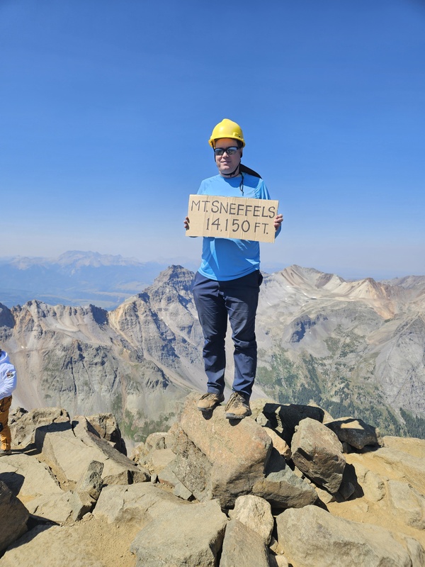
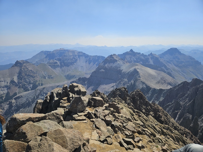
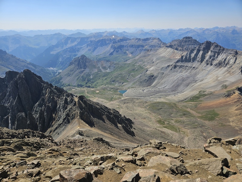
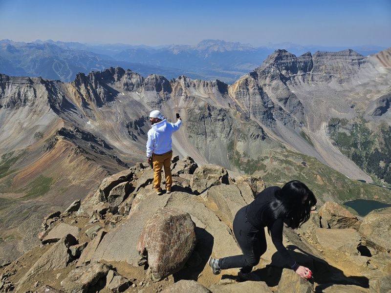
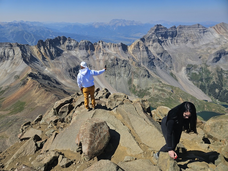
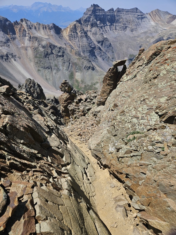
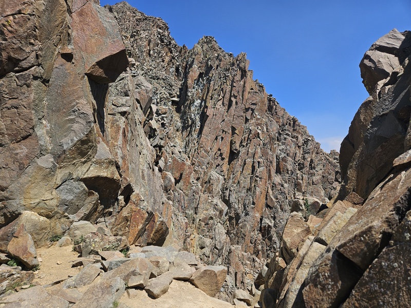
The route is quite complex from here. Be sure you are using the guidance from the 14ers.com app: this is a route that is nearly impossible to intuit. There are also a few points of tough class 3 climbing. Shortly before you reach the arrow, there is probably the crux, a chute with a chockstone stuck in it. There are several ways around: A few small young ladies in front of me climbed up to the right of the chockstone, while I (large) couldn't do that but could climb up on the left a short ways back easily. Find the best route for you. At the photo above, a chalk arrow somewhat like Clark's Arrow points into a ridge gap. You'll enter this gap, scoot ~50 feet down a gully, turn left, then climb up another gully. The route has loose rock and each gully gives you the opportunity to send rock sliding and bouncing a long way. Take care, hang on to gully walls whenever possible, and don't trust hand and foot holds until you've tested them. As you continue up this long ascending gully, don't miss the "Kissing Camels", a cool rock formation. I was with a few folks a lot of the way up this route; here we are entering a narrow chute just above the Kissing Camels formation. I won't out anybody, but one of them was terrified of heights and was glad to have me just behind them to make them feel secure that they would be caught if they fell. I never did have to catch anyone, as they were fine, but I understand that security helps. I may be slow, but being large at least means I could, theoretically, catch someone if needed. Once out of the chute past the Kissing Camels, the path opens up. The summit is visible above, and you can follow faint climbers trails or simply pick your own path up to the summit. Make sure you can find the ridge gap back to the Kissing Camels if you intend to descend the same way. Once you can scramble up to solid rock on the ridge, do so and scramble up to the summit from there. The rock high up on Sneffles is delightfully solid and easy to climb. Summit views: Fair warning: You may want to descend the standard route. I didn't, since the long, loose gully didn't appeal to me. I went back down the ridge route. But that may have been the wrong choice: The ridge route is even more difficult to follow on the descent. I was able to find the chute leading back to the Kissing Camels: ...And made it through the mini-maze back to the chalk arrow ("Not Clark's Arrow" should be its official name). Below Not Clark's Arrow, I scrambled back down the crux by the chockstone... and found myself unsure where to go. Gullies led down every direction. I'm embarrassed to admit it, but I wasn't sure where to go. I could see the saddle below, so wasn't LOST, but which gully had I come up earlier? I wasn't sure. After some hesitation, I went down a gully that looked both navigable and not too deep, so I could turn back if needed. I scrambled down the gully and found myself then having to scamper across a boulderfield to get back to the climbers' trail on the lower ridge. It wasn't the right route, and I'm lucky the gully I chose was, in fact, safely descendable. It worked, but I might not have gotten so lucky. From there, it was just a quick walk back to the trailhead. I had vaguely heard that there was a Teakettle Mountain in Colorado - a 13er and a very tough, technical climb, more difficult than any 14er. Upon seeing this mountain, I could only assume it was Teakettle Mountain due to its shape. Turns out, I was right and it is! Sneffles NW ridge is an incredible climb - but do take my cautions into account! Be sure you know exactly how to get down, or return via the standard route. Thumbnails for uploaded photos (click to open slideshow): 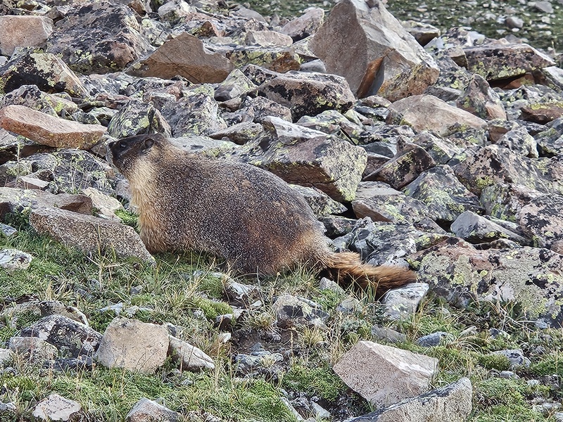









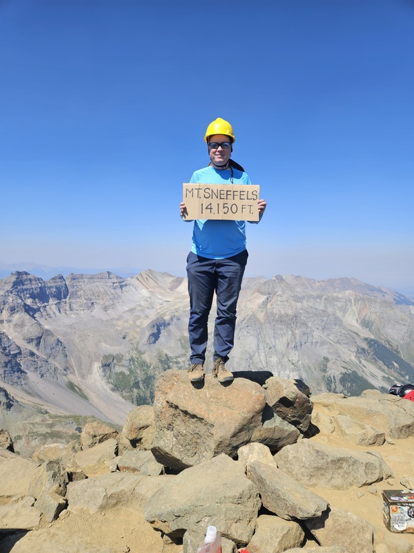
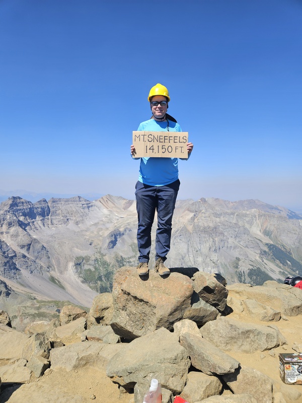
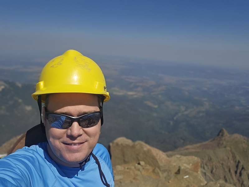
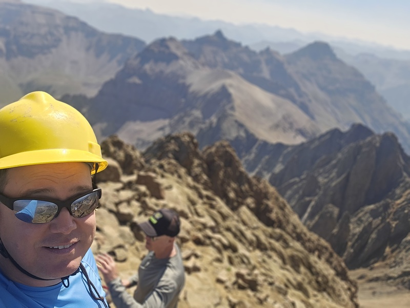



|
| Comments or Questions |
|---|
|
|
Caution: The information contained in this report may not be accurate and should not be the only resource used in preparation for your climb. Failure to have the necessary experience, physical conditioning, supplies or equipment can result in injury or death. 14ers.com and the author(s) of this report provide no warranties, either express or implied, that the information provided is accurate or reliable. By using the information provided, you agree to indemnify and hold harmless 14ers.com and the report author(s) with respect to any claims and demands against them, including any attorney fees and expenses. Please read the 14ers.com Safety and Disclaimer pages for more information.
Copyright: Route information, text, risk factors, maps, GPX files, charts, photos, 14ers.com-created map imagery, flythroughs, and other content provided in this route description are copyrighted by 14ers.com and may not be copied, reproduced, republished, distributed, modified, or used to create derivative works without prior written permission.
Please respect private property: 14ers.com supports the rights of private landowners to determine how and by whom their land will be used. In Colorado, it is your responsibility to determine if land is private and to obtain the appropriate permission before entering the property.


