Download Agreement, Release, and Acknowledgement of Risk:
You (the person requesting this file download) fully understand mountain climbing ("Activity") involves risks and dangers of serious bodily injury, including permanent disability, paralysis, and death ("Risks") and you fully accept and assume all such risks and all responsibility for losses, costs, and damages you incur as a result of your participation in this Activity.
You acknowledge that information in the file you have chosen to download may not be accurate and may contain errors. You agree to assume all risks when using this information and agree to release and discharge 14ers.com, 14ers Inc. and the author(s) of such information (collectively, the "Released Parties").
You hereby discharge the Released Parties from all damages, actions, claims and liabilities of any nature, specifically including, but not limited to, damages, actions, claims and liabilities arising from or related to the negligence of the Released Parties. You further agree to indemnify, hold harmless and defend 14ers.com, 14ers Inc. and each of the other Released Parties from and against any loss, damage, liability and expense, including costs and attorney fees, incurred by 14ers.com, 14ers Inc. or any of the other Released Parties as a result of you using information provided on the 14ers.com or 14ers Inc. websites.
You have read this agreement, fully understand its terms and intend it to be a complete and unconditional release of all liability to the greatest extent allowed by law and agree that if any portion of this agreement is held to be invalid the balance, notwithstanding, shall continue in full force and effect.
By clicking "OK" you agree to these terms. If you DO NOT agree, click "Cancel"...
For this particular trip, El Diente was the most difficult mountain I climbed. It's one of the tougher 14ers in Colorado - the approach is long, the climbing is tough, and the route is anything but obvious. This is my ascent of this tough summit, with some photos and advice. I hope it is helpful to someone!
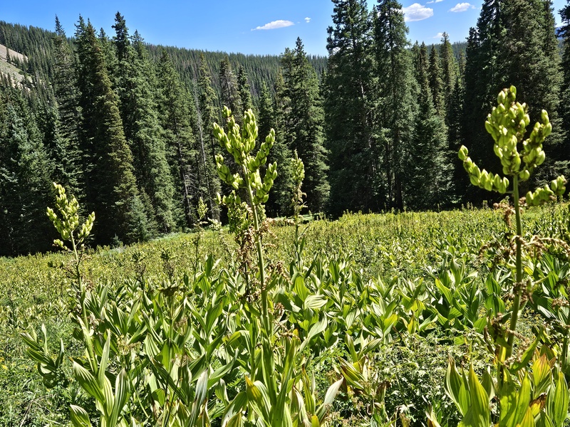
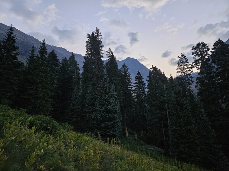
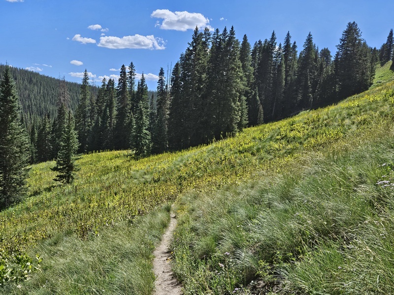
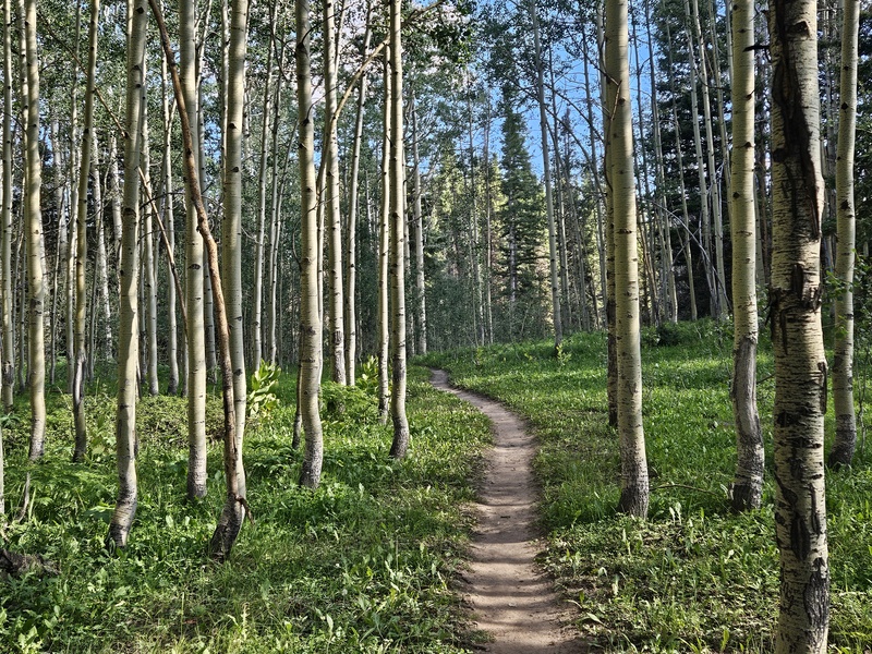
For El Diente and/or Mt. Wilson, the Kilpacker Basin trailhead is your best /easiest starting point. The trail from there winds through beautiful meadows and forests.
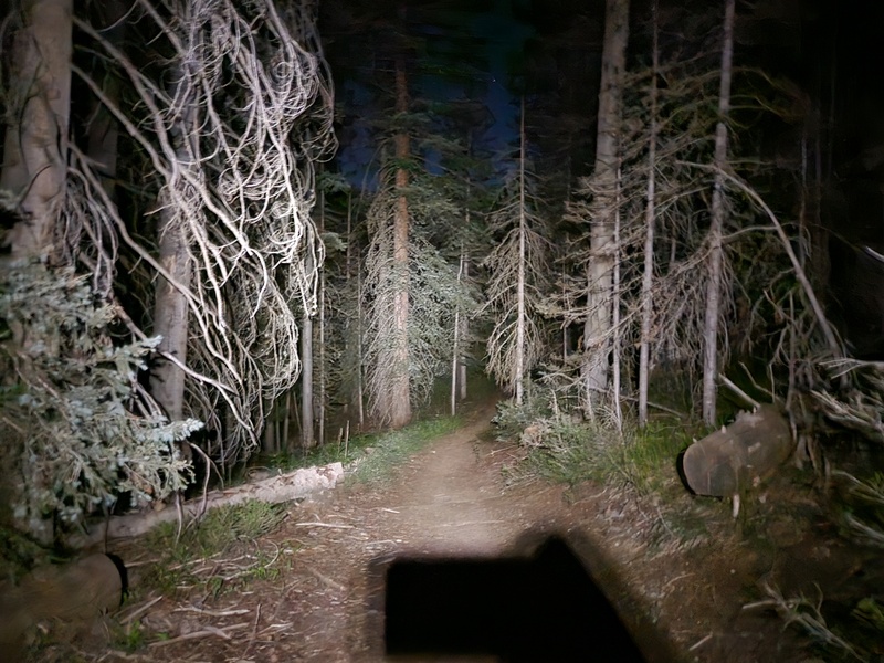
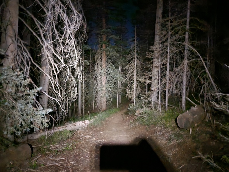
The forest lit by headlamp on the ascent.
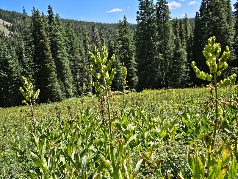
Most of these meadow photos were taken on the descent, since I started at 3:50am in the dark.
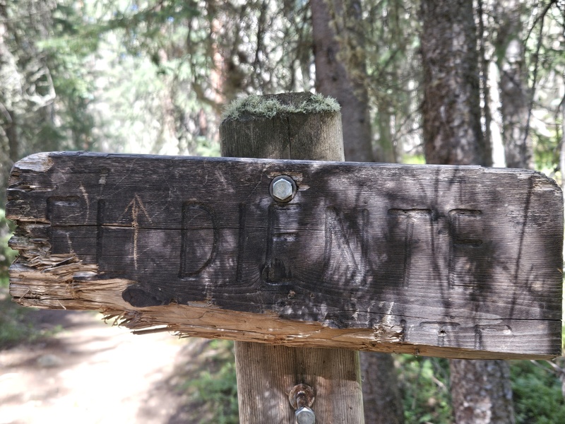
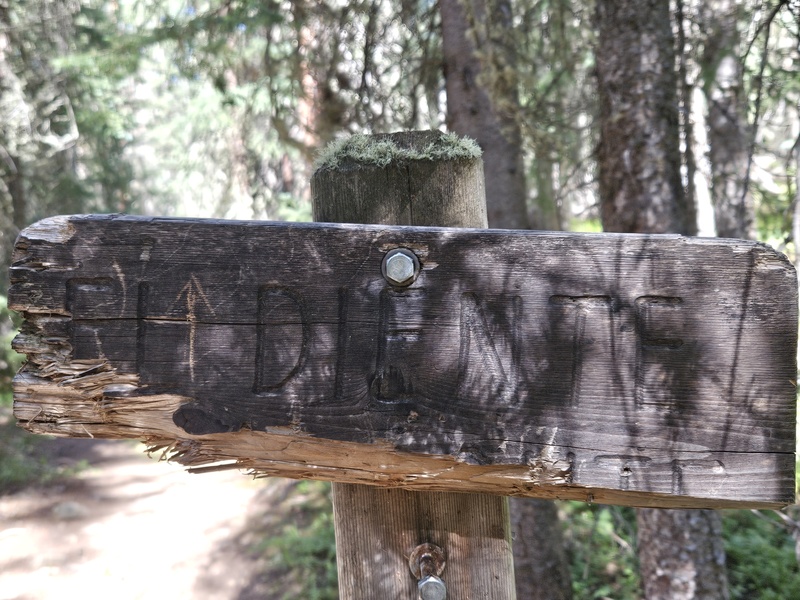
A difficult-to-read sign at a trail junction, pointing straight ahead to El Diente.
The path is fairly level for the first few miles, before suddenly ascending steeply across a field of rocks.
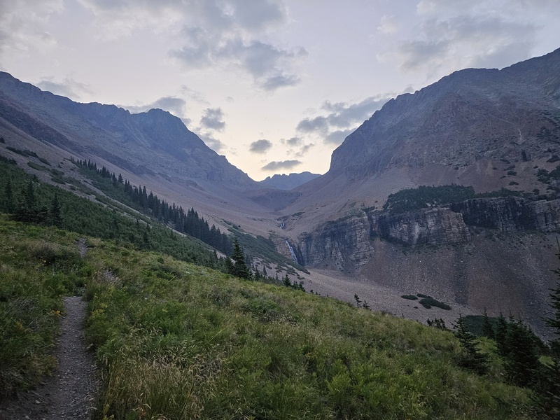
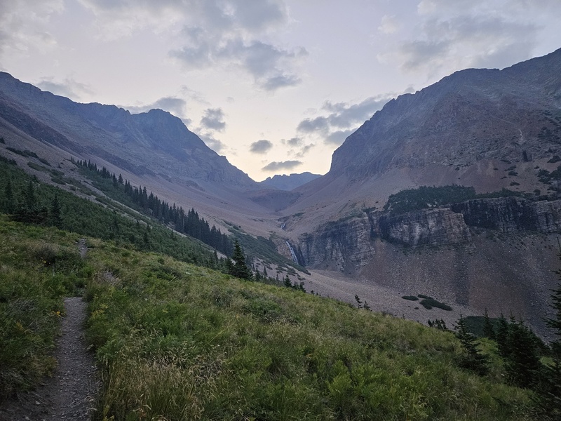
The path ascends towards the peaks. That's El Diente on the left, and Mt. Wilson is straight ahead at the back of the basin.
The rocky path climbs over several bumps as it enters the basin.
The travelling gets tougher over rough, uneven ground, but the trail is clear as it winds up into the basin.
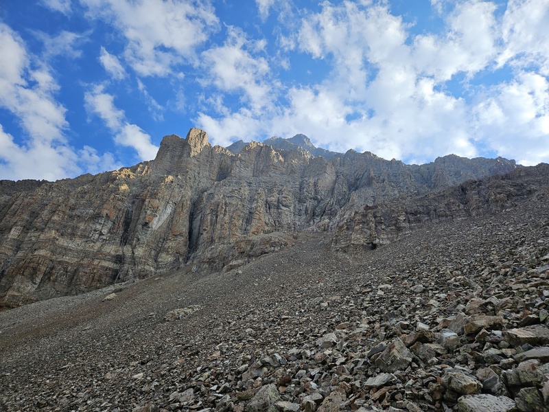
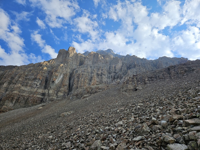
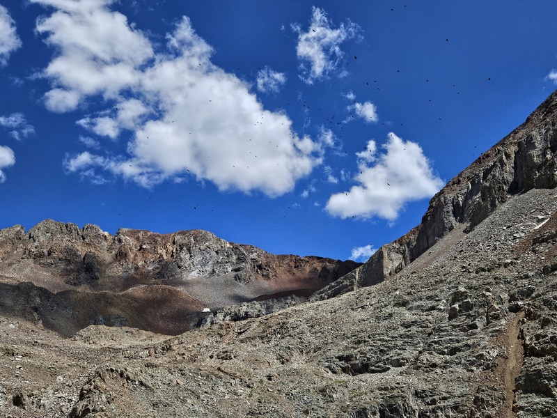
Looking up the side of El Diente on the ascent into the basin - from this angle, it looks completely unclimbable.
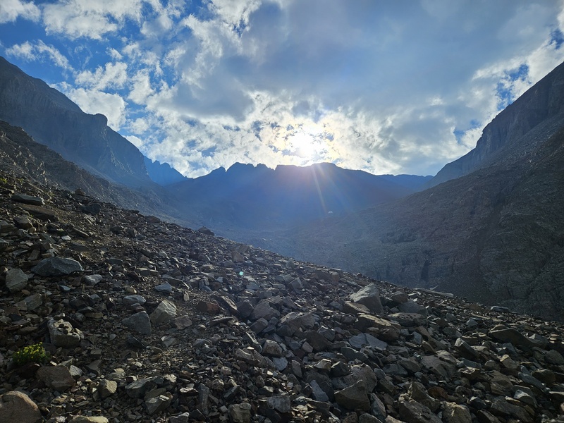
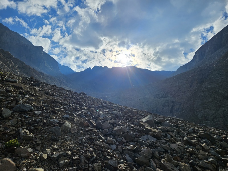
The sun rises behind Mt Wilson
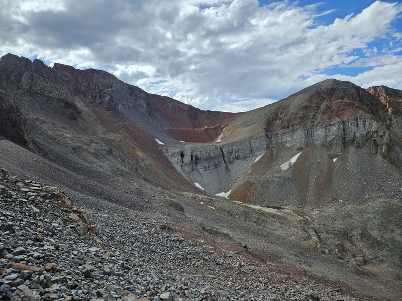
Once you arrive in the basin beneath El Diente, be sure you have the photos from the 14ers.com app, and follow them: the path up to underneath the Organ Pipes- your next goal - zigzags all over the place and is not obvious. If you know what real organ pipes look like, there is actually another formation further to the right that looks more like organ pipes (I believe it is "Pin Point") than the actual Organ Pipes formation. Consult your photos from the app!
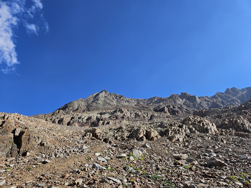
Looking up towards the summit and your next goal, the Organ Pipes.
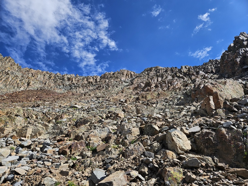
You'll turn left and start up the long slope. Though there are cairns in the basin since the trail fades away, they are leading to Mt. Wilson, and you'll just have to know where to turn. Once you start up the face, sporadic cairns will appear. However, don't rely too much on them because, at least on this day, there weren't enough that the next was always visible from the previous. You need to have the photos and know the path, and be prepared to backtrack if needed.
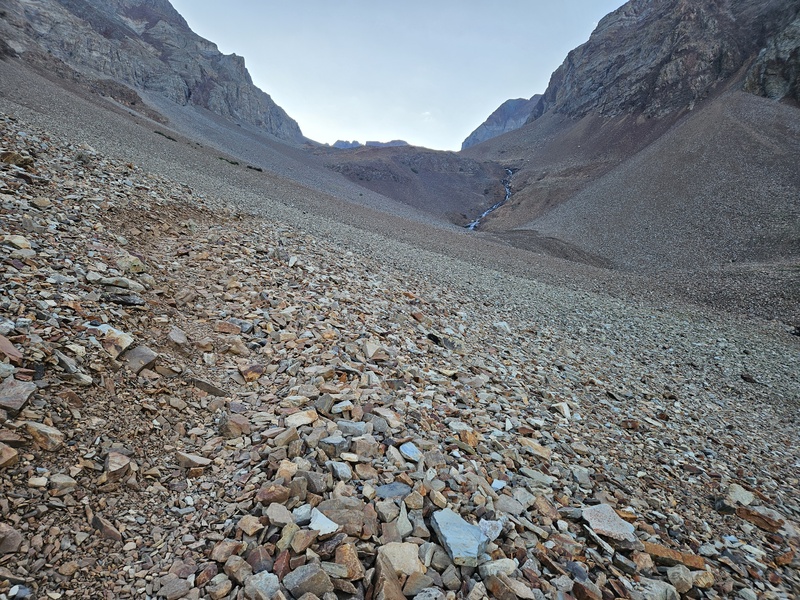
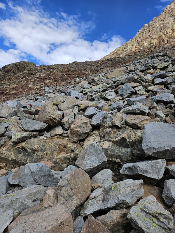
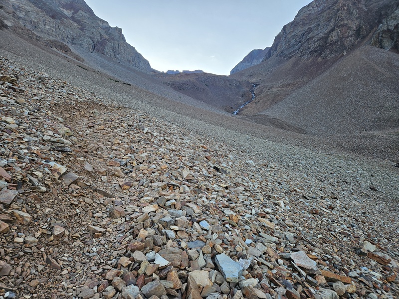
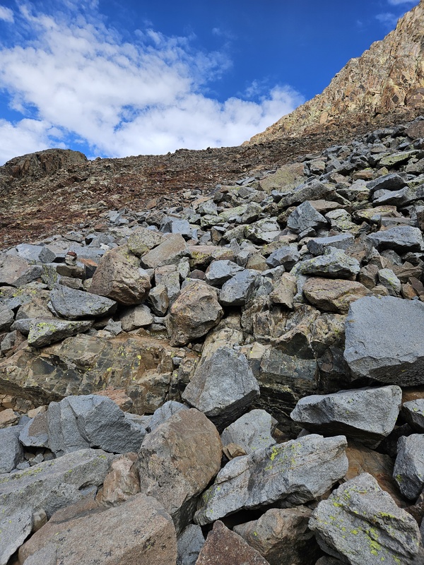
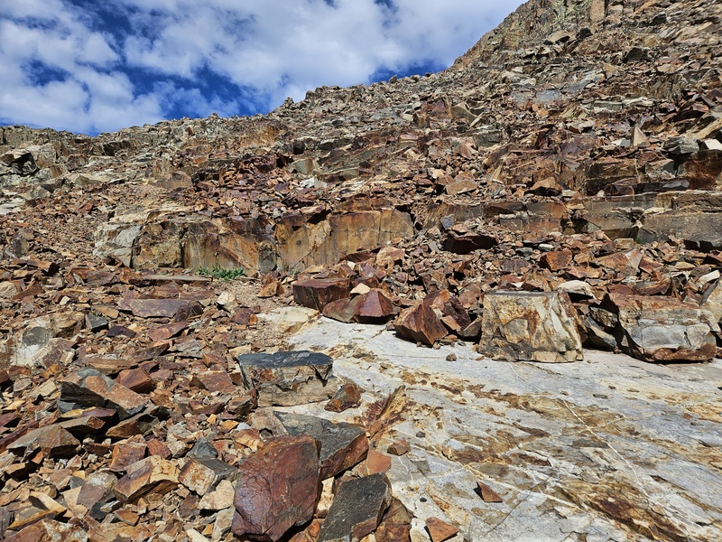
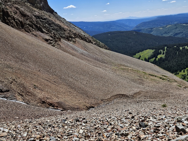
Some of the terrain on the lower face
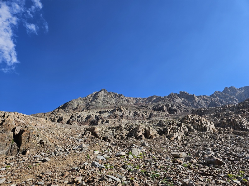
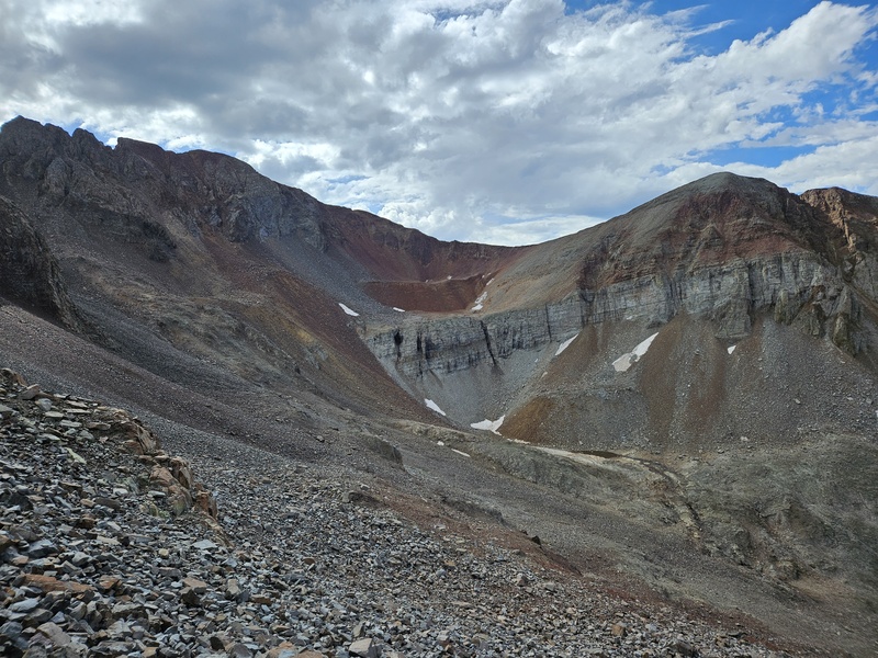
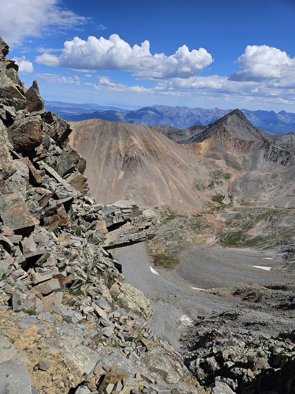
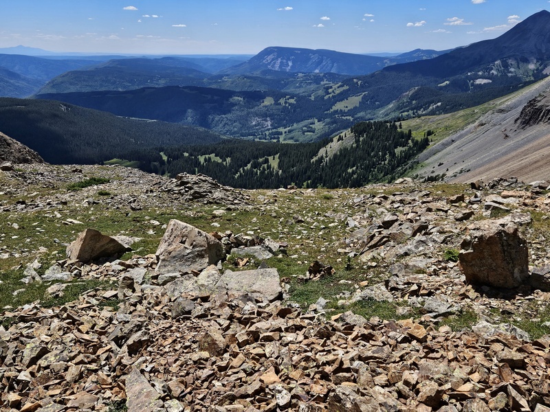
Views from the ascent
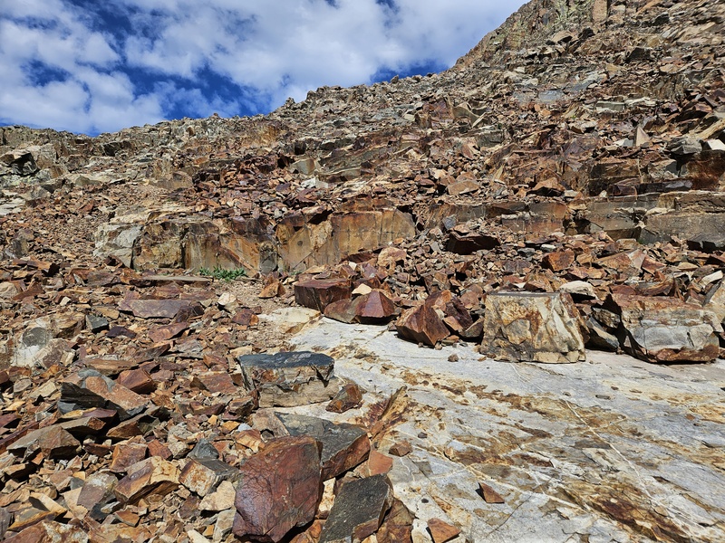
The red rock band, one of the landmarks: zig or zag around it. No need to climb over it.
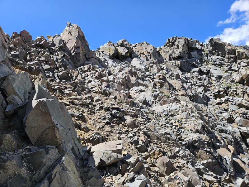
The grey gully which lead to the base of the Organ Pipes.
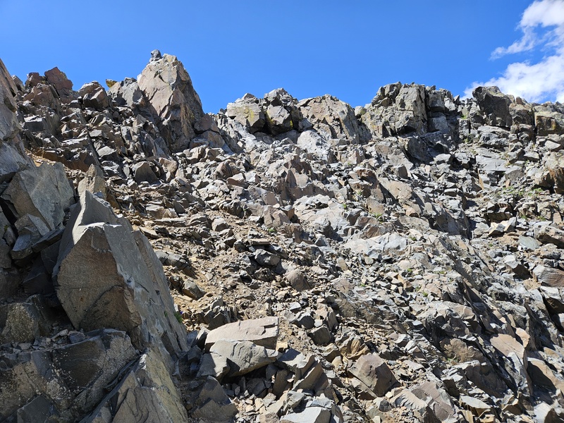
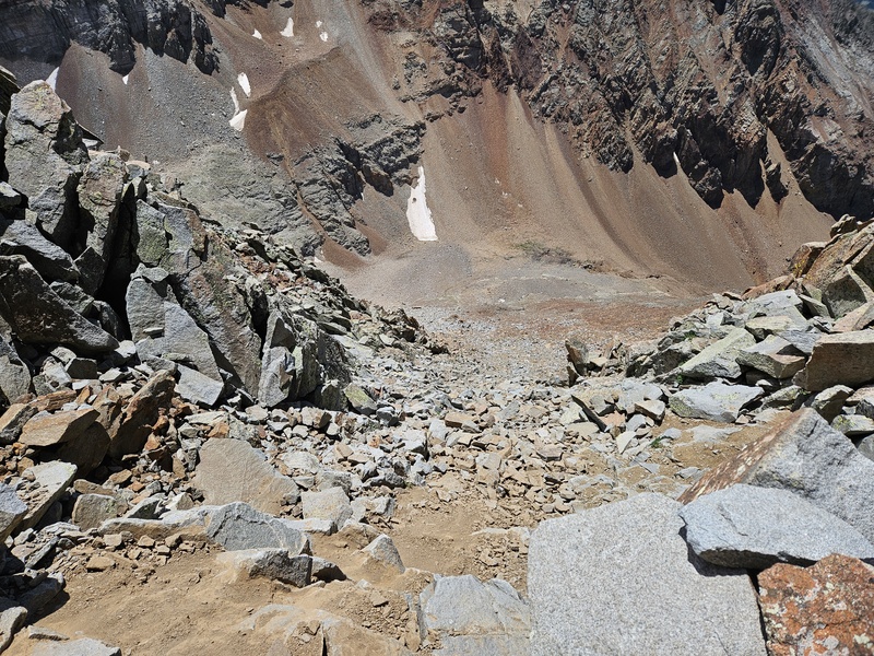
Once you find the grey gully, follow it up to the base of the Organ Pipes. This is probably the loosest, steepest, and most difficult scrambling on the route; take care not to kick rocks down, call out any that you do knock down, and wear a helmet.
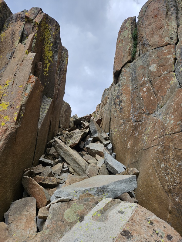
From just under the organ pipes, turn left and continue to follow cairns. You come across this narrow chimney-like gully:
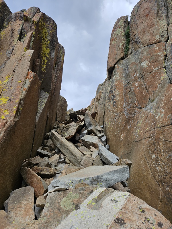
The narrow chute
Climb on up and out the top of this chute (class 3) and continue ahead to the angled rock in the photo below:
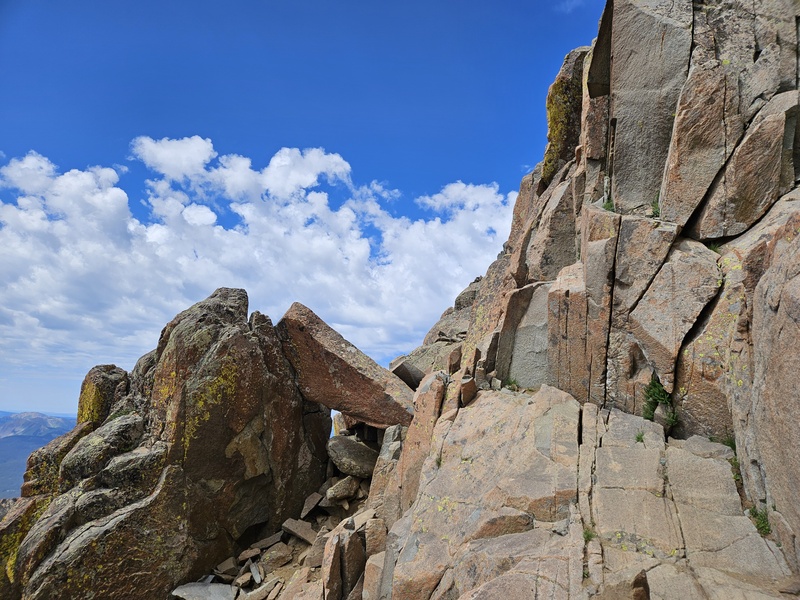
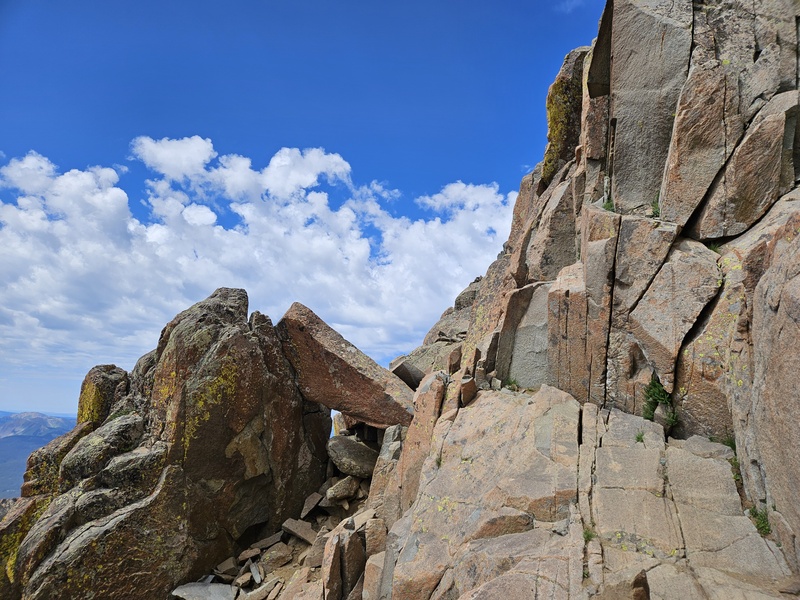
The angled rock, another landmark to watch for.
You'll climb over that rock and continue.
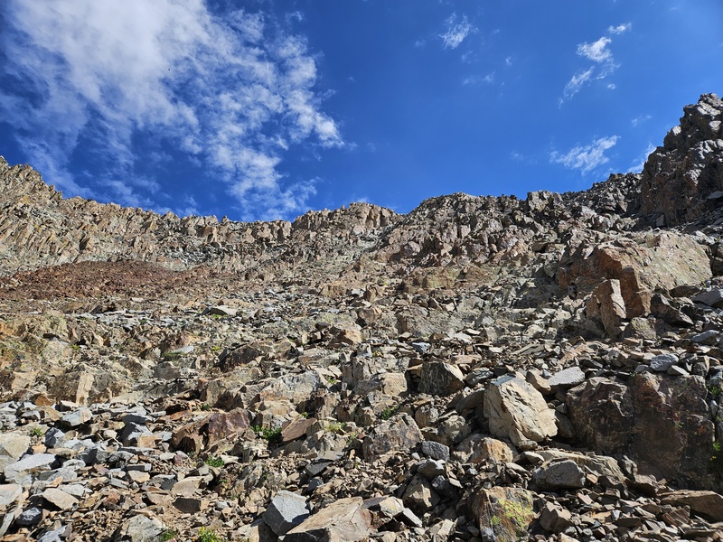
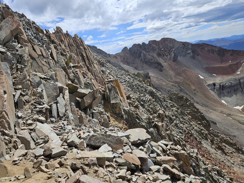
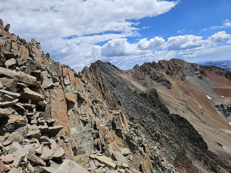
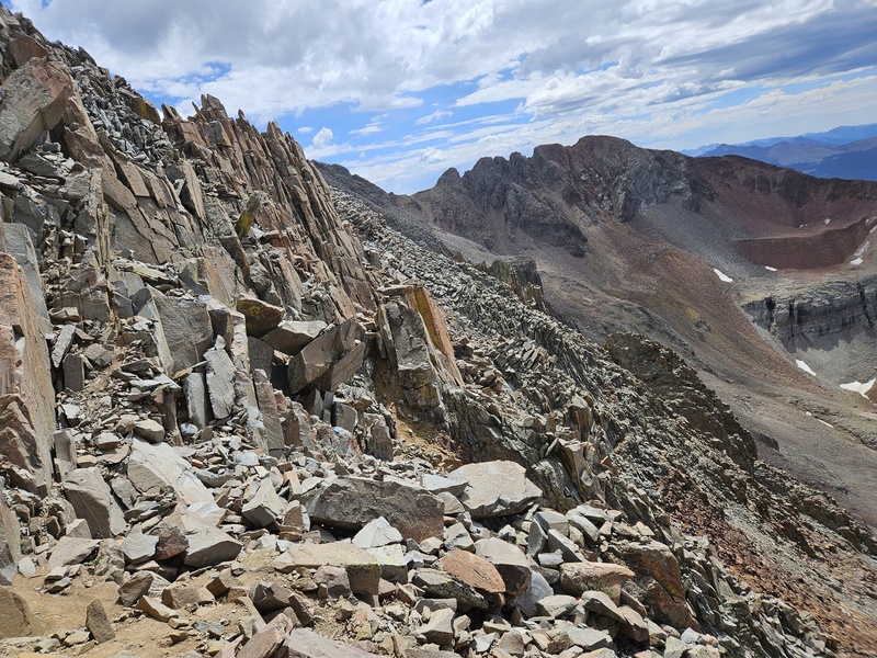
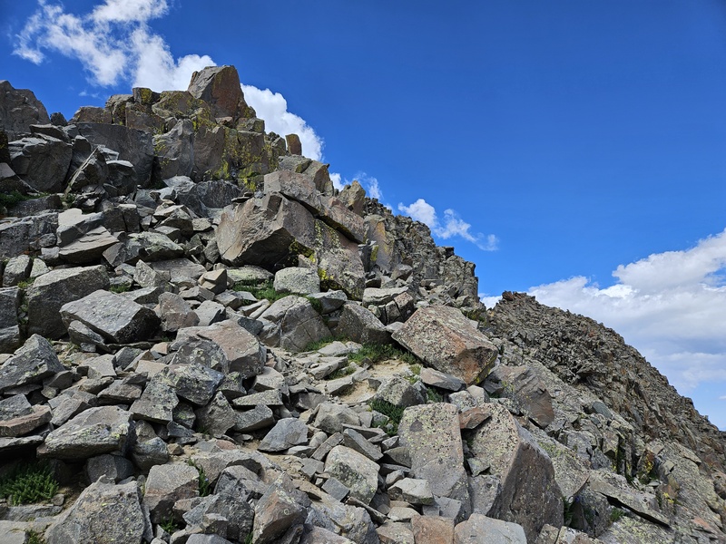
Some of the terrain just under the ridge
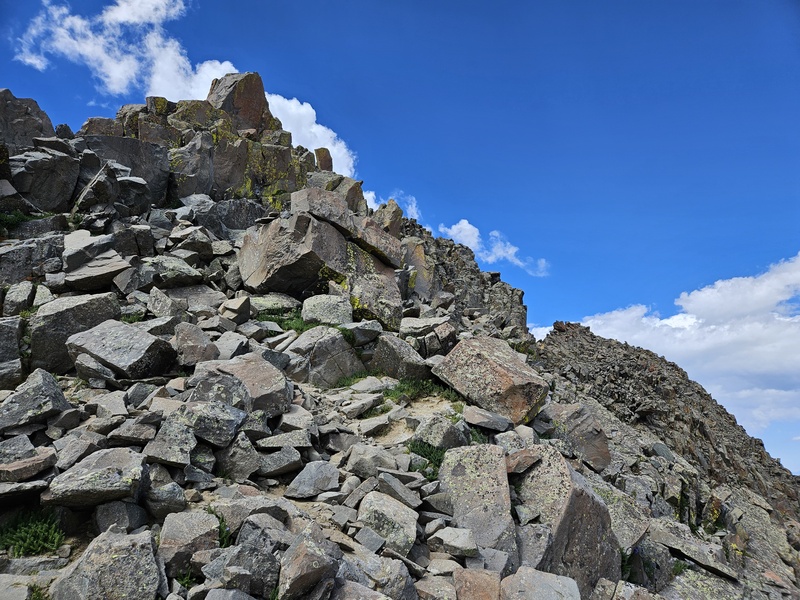
Follow the cairns up a short, steep gully to reach a notch in the ridge and go through.
In the notch
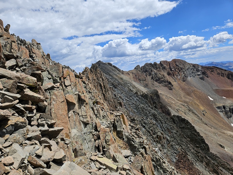
Through the notch, continue to follow cairns to the left - you'll descend a bit, then ascend to another notch.
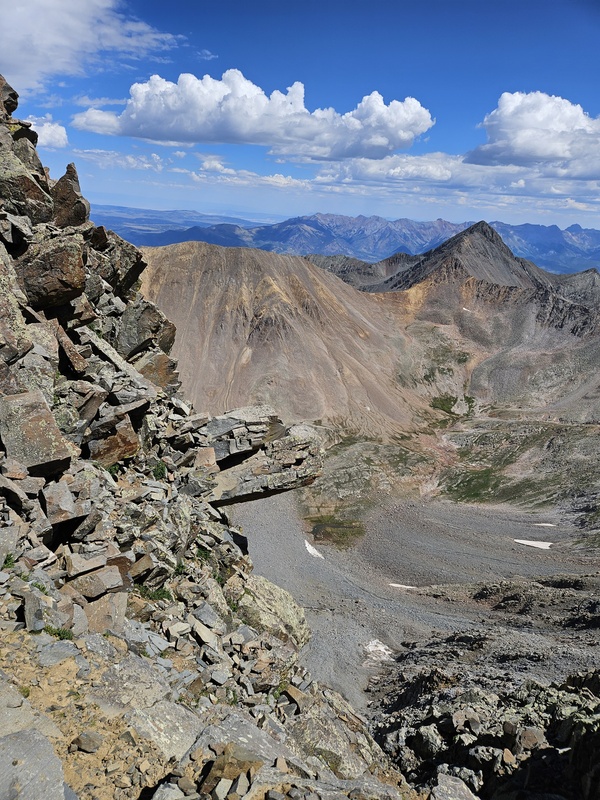
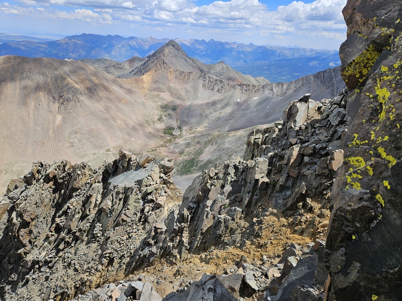
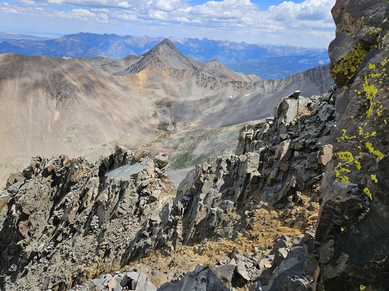
View from the second notch: The summit is, suddenly, very close. That's it right in the upper middle of the photo.
From the second notch, the summit and the route to it is clearly visible and close. I recommend the dashed line on the 14ers.com photos - tougher but very solid.
Just under the summit, looking back at the upper notch
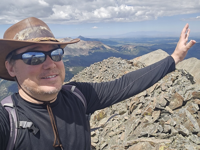
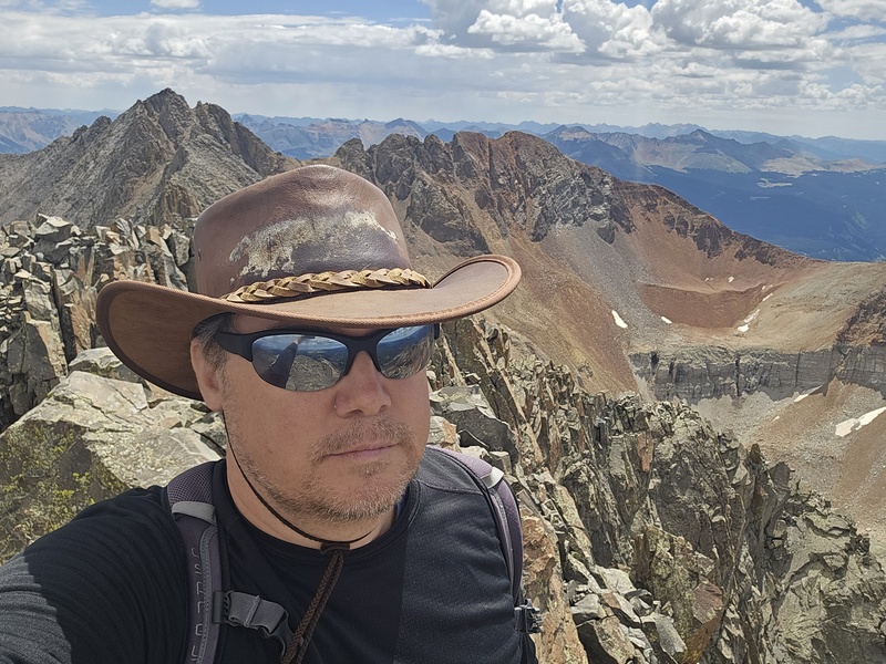
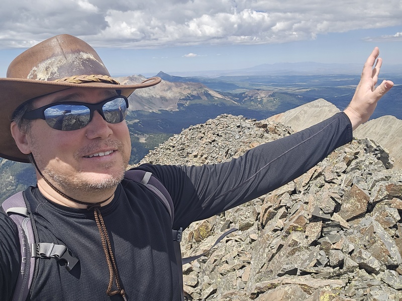
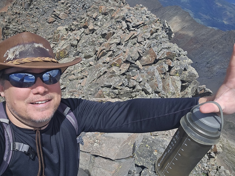
On the summit!
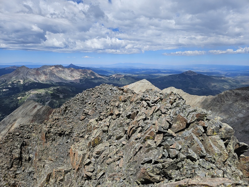
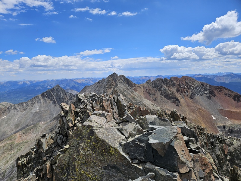
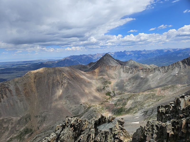
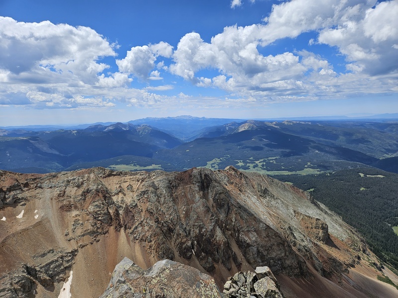
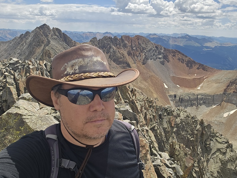
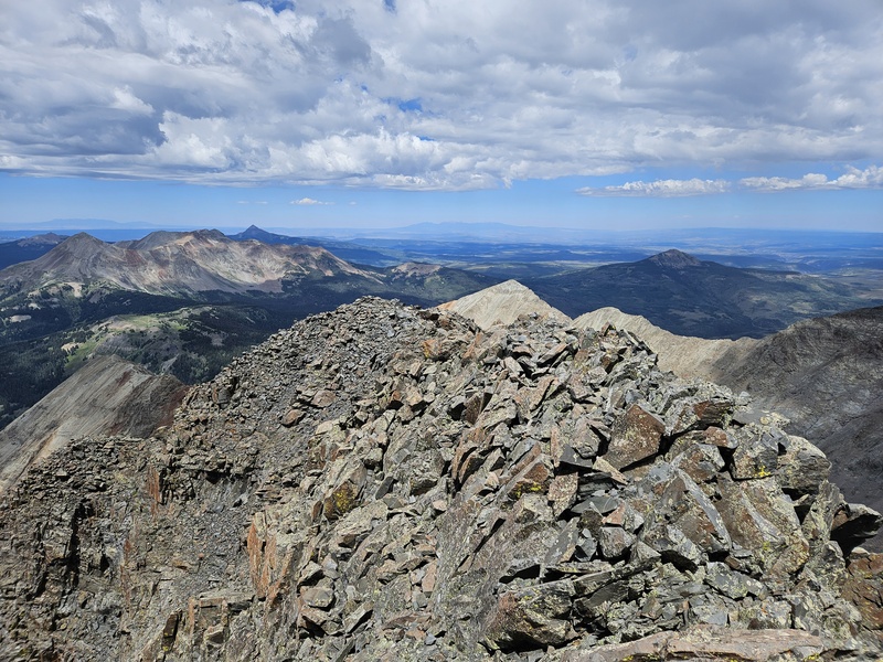
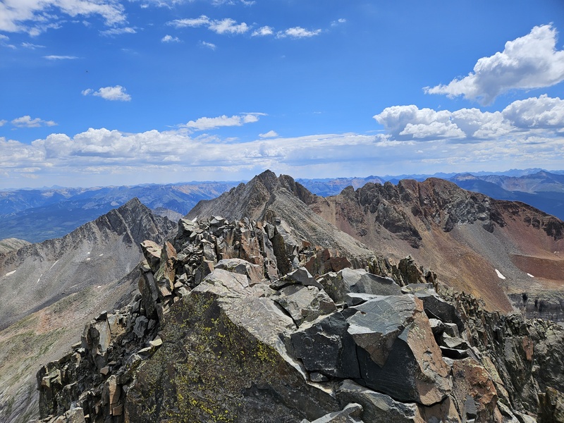
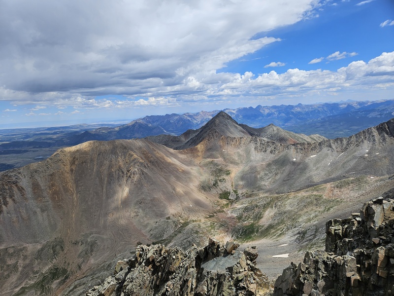
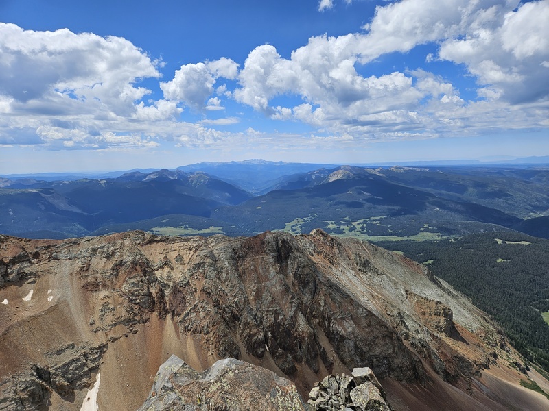
Summit views:
Caption Here
Caption Here
Caption Here
Caption Here
The summit is just a tiny rock, about the size of a shower stall - only a few people can be on it at once! I was there alone, so I was able to have a seat.
On this peak especially, be careful to retrace your steps on the way down. Keep an eye out for the cairns. El Diente is very steep if you aren't going the right way.
On the descent
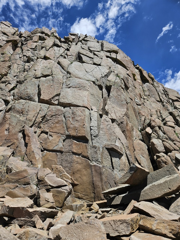
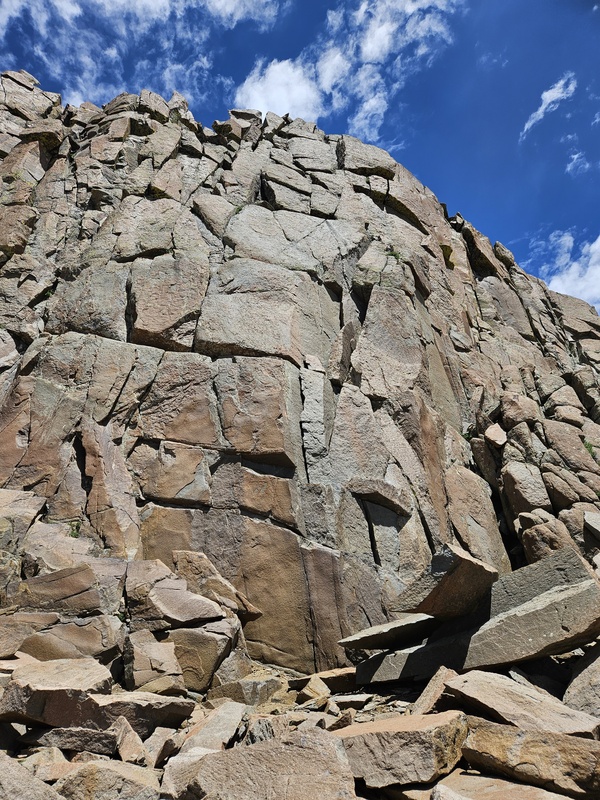
The Organ Pipes from directly underneath
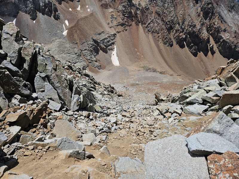
Looking down the steep grey gully - descend slowly and carefully.
I didn't have the time or energy to traverse to Mt. Wilson as is often done - I'll try that one on its own sometime. But El Diente on its own is a tough, rugged adventure. Have the photos from the app; look behind you as you climb the upper reaches; and wear a helmet!
Thumbnails for uploaded photos (click to open slideshow):
Thank you for posting a TR. They don't come around as often as they use to. E plan to head for just El D this weekend since we already have Mt. Wilson. Any issues with exposure?
It's not an easy climb, but it's not super exposed. It's most exposed once you reach the ridge (at which point you're very close), but even then not extreme.
I was most worried about exposure on that North side leading to the summit. But that is great to hear it isn't terrible. We were hoping to backpack in...but weather now might force us to day trip it. All that talus and rock is rough on the body. At least going up there twice already, I'm familiar enough with the terrain. I was very happy so see a TR of only El Diente. Most are of the traverse putting most focus on that part of the trip. So thanks for posting!!
Caution: The information contained in this report may not be accurate and should not be the only resource used in preparation for your climb. Failure to have the necessary experience, physical conditioning, supplies or equipment can result in injury or death. 14ers.com and the author(s) of this report provide no warranties, either express or implied, that the information provided is accurate or reliable. By using the information provided, you agree to indemnify and hold harmless 14ers.com and the report author(s) with respect to any claims and demands against them, including any attorney fees and expenses. Please read the 14ers.com Safety and Disclaimer pages for more information.
Copyright: Route information, text, risk factors, maps, GPX files, charts, photos, 14ers.com-created map imagery, flythroughs, and other content provided in this route description are copyrighted by 14ers.com and may not be copied, reproduced, republished, distributed, modified, or used to create derivative works without prior written permission.
Please respect private property: 14ers.com supports the rights of private landowners to determine how and by whom their land will be used. In Colorado, it is your responsibility to determine if land is private and to obtain the appropriate permission before entering the property.