Download Agreement, Release, and Acknowledgement of Risk:
You (the person requesting this file download) fully understand mountain climbing ("Activity") involves risks and dangers of serious bodily injury, including permanent disability, paralysis, and death ("Risks") and you fully accept and assume all such risks and all responsibility for losses, costs, and damages you incur as a result of your participation in this Activity.
You acknowledge that information in the file you have chosen to download may not be accurate and may contain errors. You agree to assume all risks when using this information and agree to release and discharge 14ers.com, 14ers Inc. and the author(s) of such information (collectively, the "Released Parties").
You hereby discharge the Released Parties from all damages, actions, claims and liabilities of any nature, specifically including, but not limited to, damages, actions, claims and liabilities arising from or related to the negligence of the Released Parties. You further agree to indemnify, hold harmless and defend 14ers.com, 14ers Inc. and each of the other Released Parties from and against any loss, damage, liability and expense, including costs and attorney fees, incurred by 14ers.com, 14ers Inc. or any of the other Released Parties as a result of you using information provided on the 14ers.com or 14ers Inc. websites.
You have read this agreement, fully understand its terms and intend it to be a complete and unconditional release of all liability to the greatest extent allowed by law and agree that if any portion of this agreement is held to be invalid the balance, notwithstanding, shall continue in full force and effect.
By clicking "OK" you agree to these terms. If you DO NOT agree, click "Cancel"...
I had been wanting to climb Castle and Conundrum for a second time for awhile now and finally got my chance. I knew these peaks paired well with Malemute, so I planned on hitting that too for a bonus 13er. I was able to drive my 4x4 truck to the Pearl Pass Junction without difficulty and spent the night there. It took me about 40 minutes to drive the 3 miles up Castle Creek Road. There was another group tent sleeping at the junction which I met later near the summit of Castle. I had arrived late and quietly went to sleep around midnight with a 4 am wake up call.
Day of Climb: Monday, July 27th, 2026.
Trailhead: Pearl Pass Junction on Castle Creek Road.
Peaks: Castle, Conundrum and Malemute.
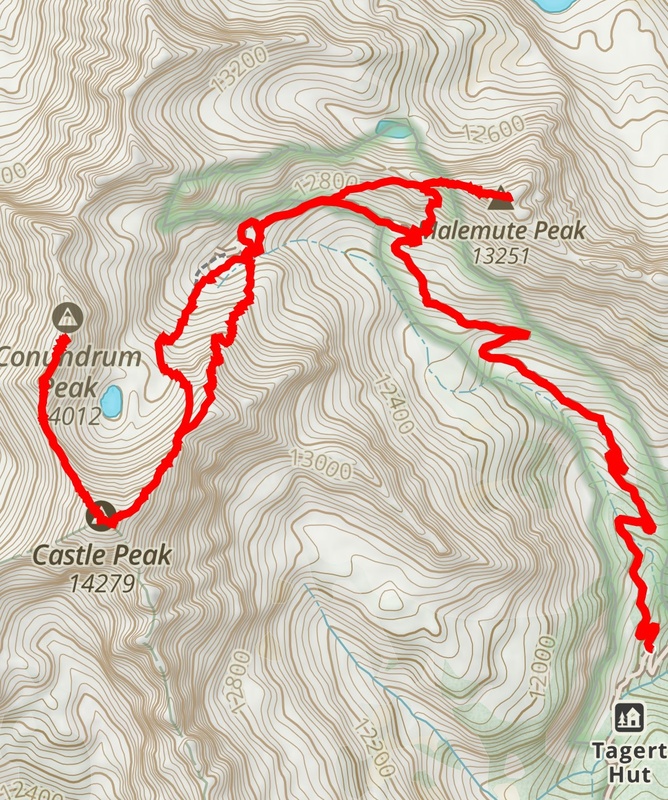
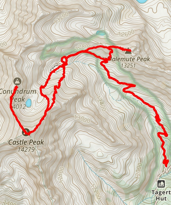
Mileage and Elevation Gain: Approximately 8.82 miles with 4,529 feet of gain.
Gaia track.
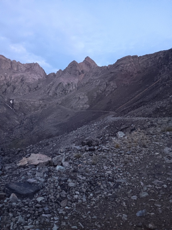
I was up around 3:30 when the other climbers departed. I snoozed a bit longer and then slowly got ready, and eventually, I left my vehicle at 4:57 and started hiking up the 4x4 road with headlamp illuminated. It was a quick walk to the upper 4wd parking lot which I reached at first light. My intention now was to climb directly up Castles Northeast Ridge instead of the standard headwall to the upper ridge.
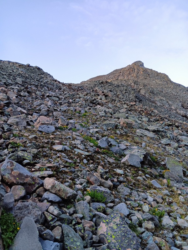
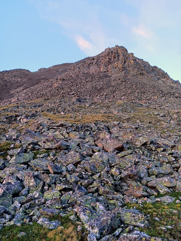
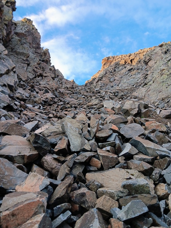
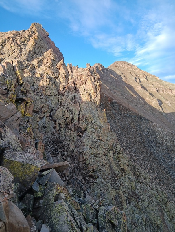
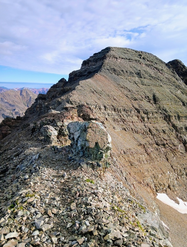
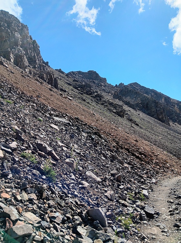
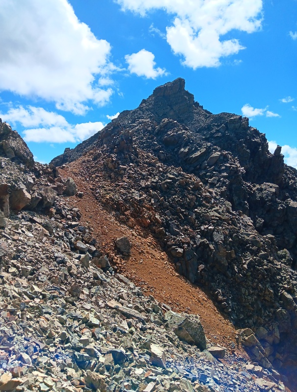
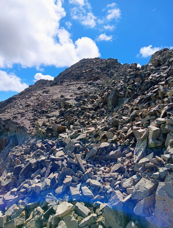
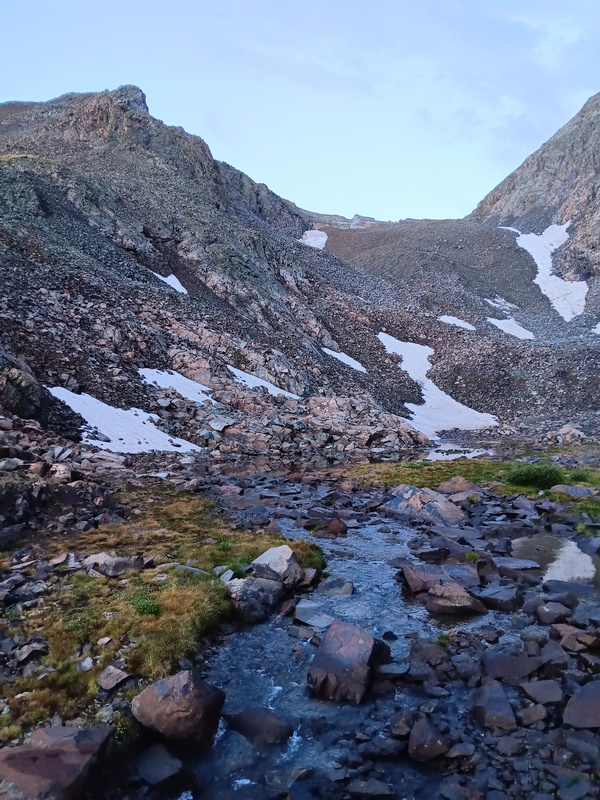
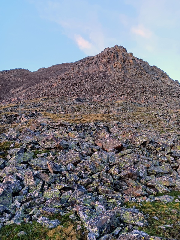
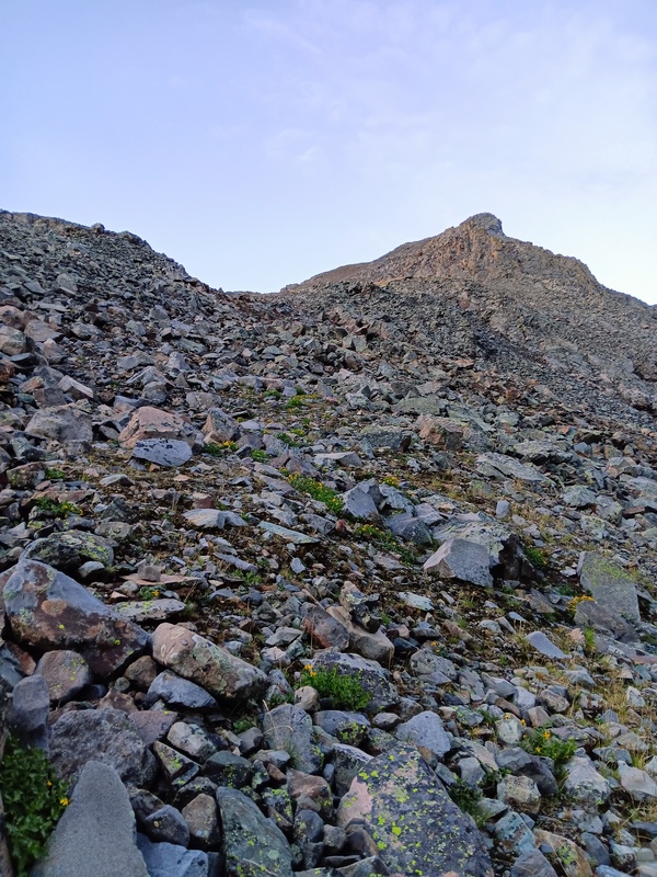
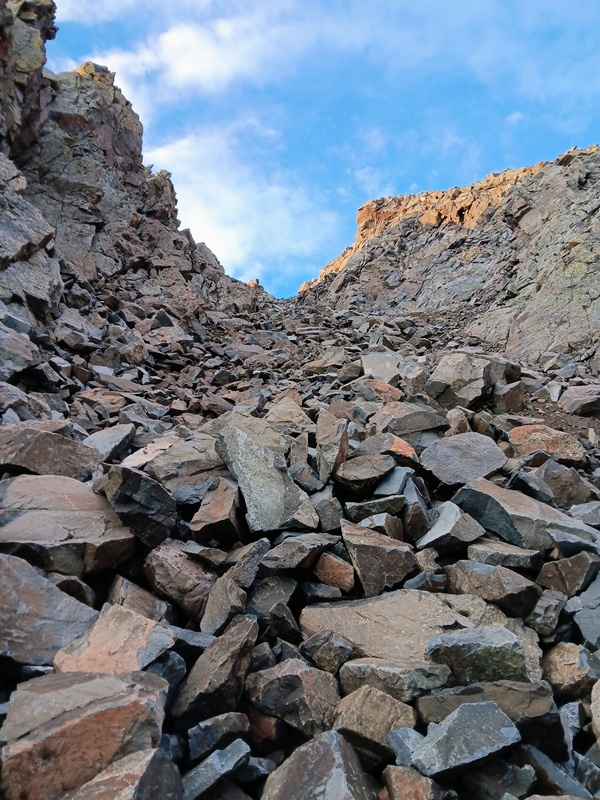
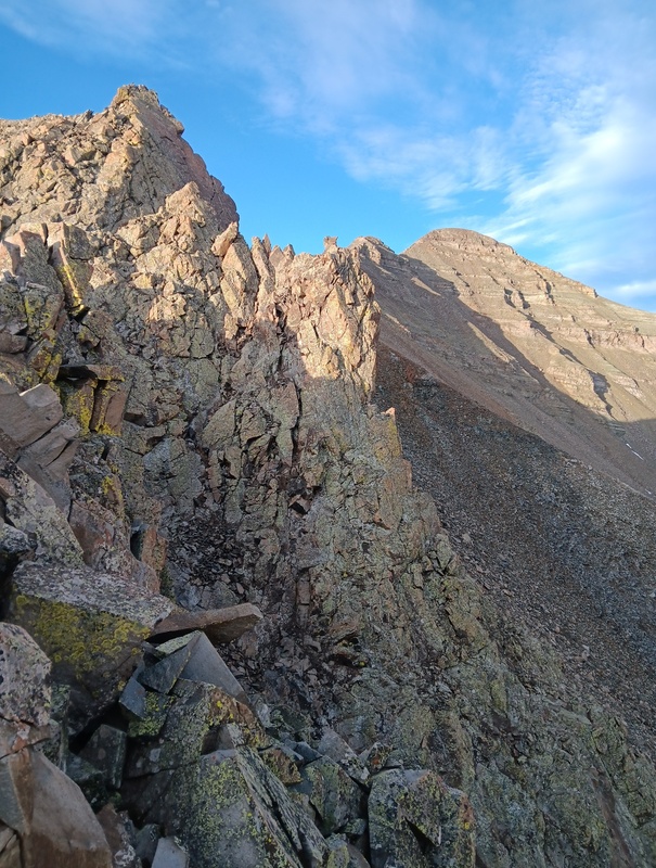
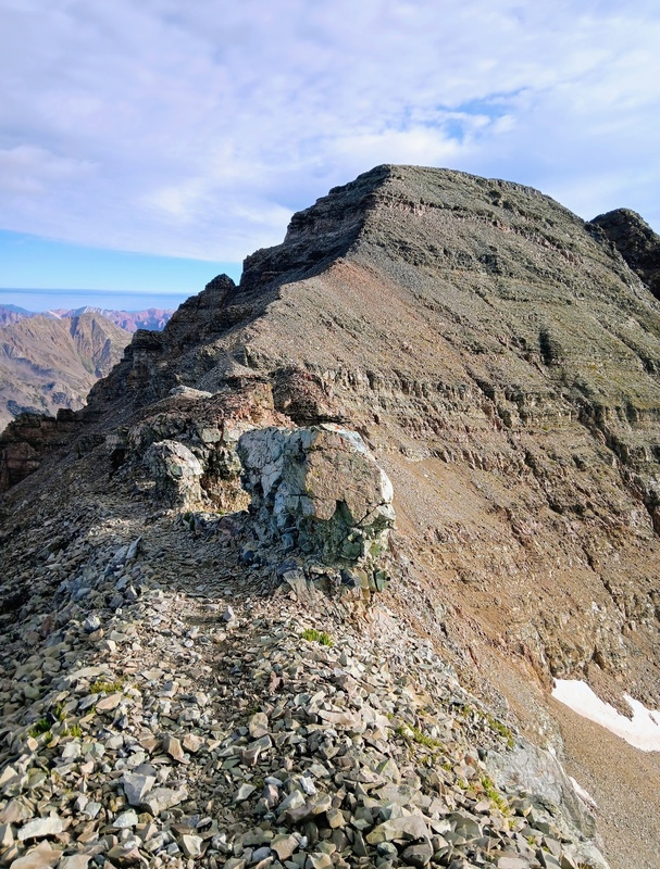
I crossed through the parking area, forded the creek and started up the ridge looking forward to a fun scramble. A Wentzl report "A New Normal" said it didn't go beyond class 2+. A talus slope interspersed with grass took me to a tower. Unfortunately, I had meandered too far left and hit the tower dead on. It looked climbable, but I couldn't say for sure. I course corrected to the right, to skirt the tower, and climbed an easy rock gully to get back to the ridge.
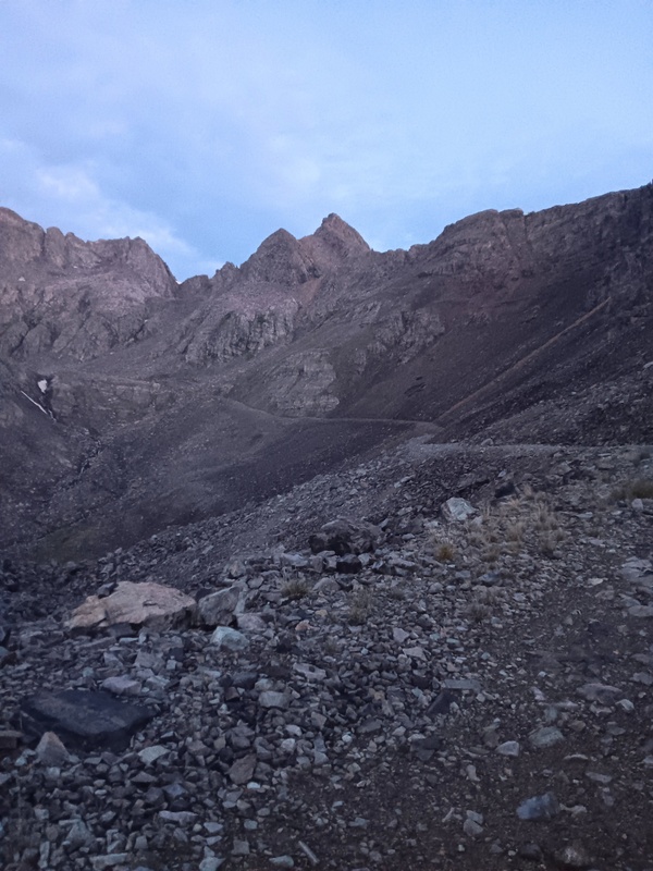
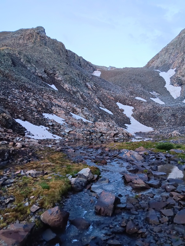
Walking the road.Creek crossing. I'm aiming for the tower on left. Headwall is on the right.Talus slope to tower.Approaching tower.Rock gully.
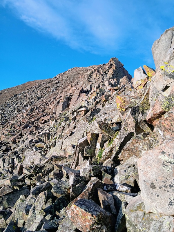
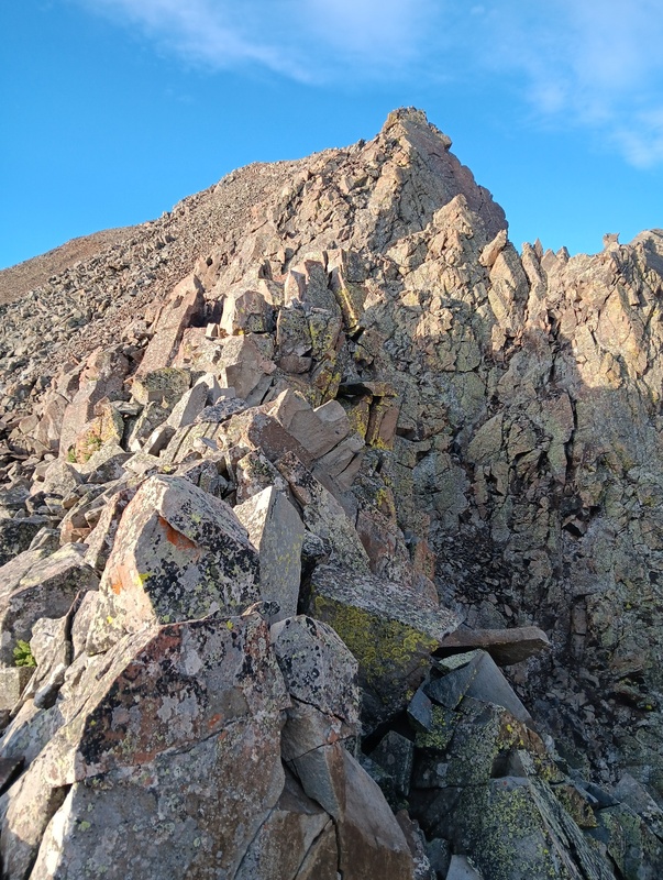
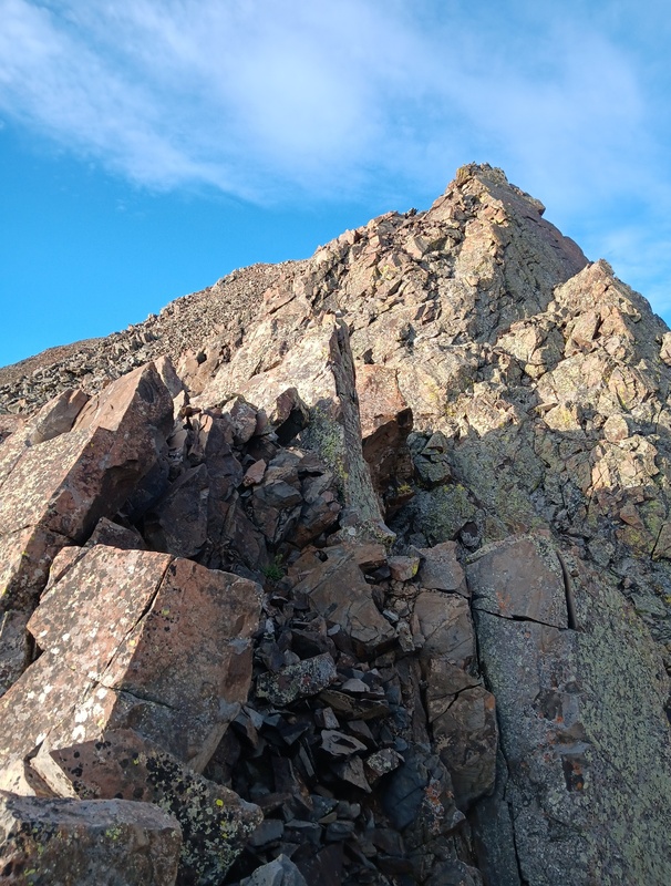
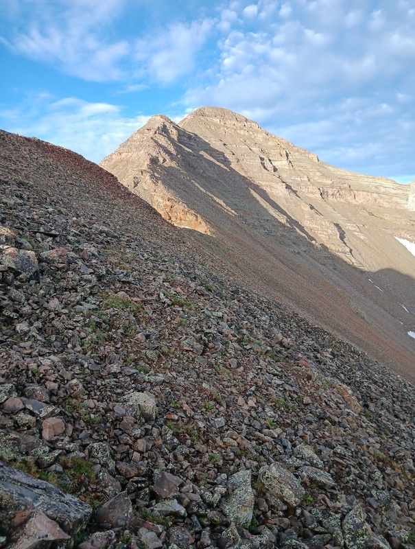
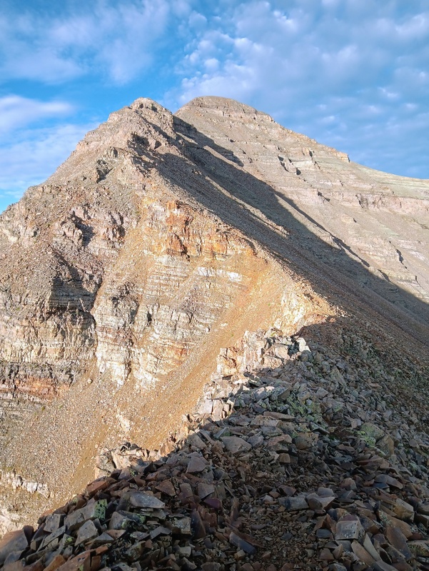
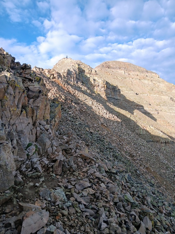
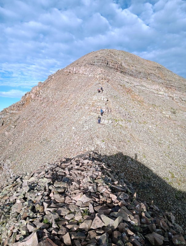
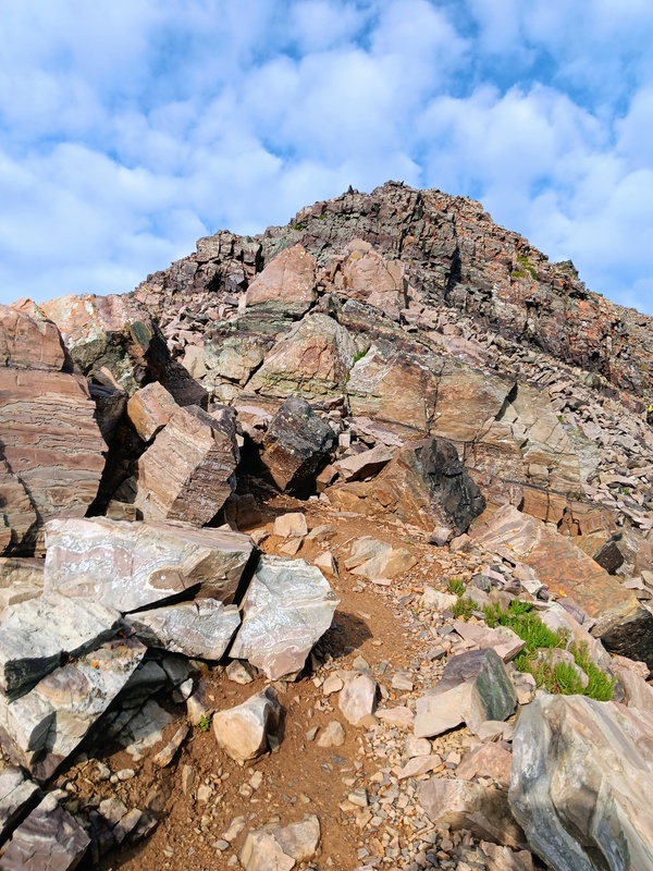
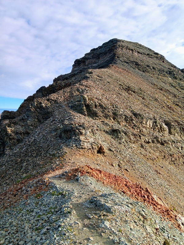
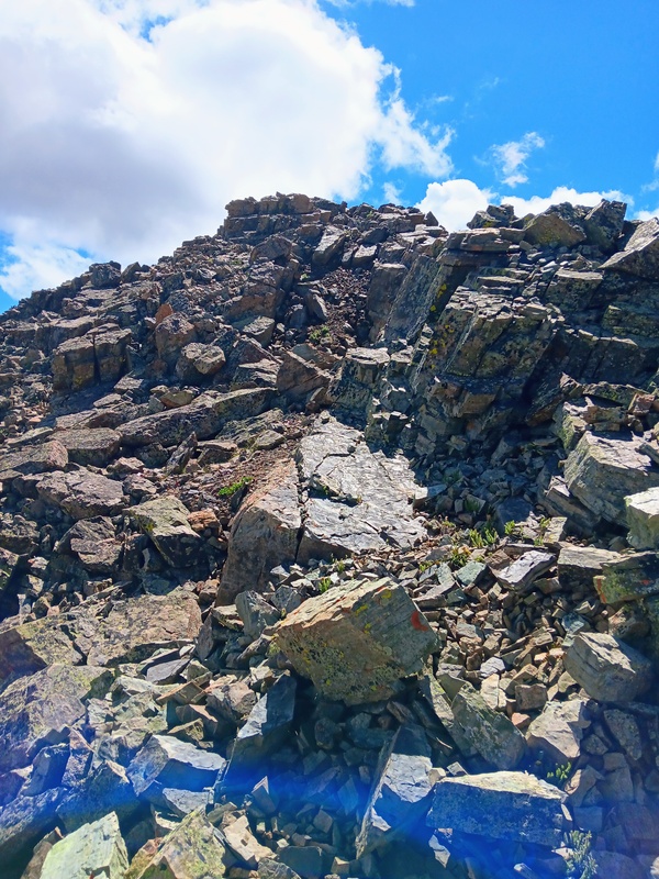
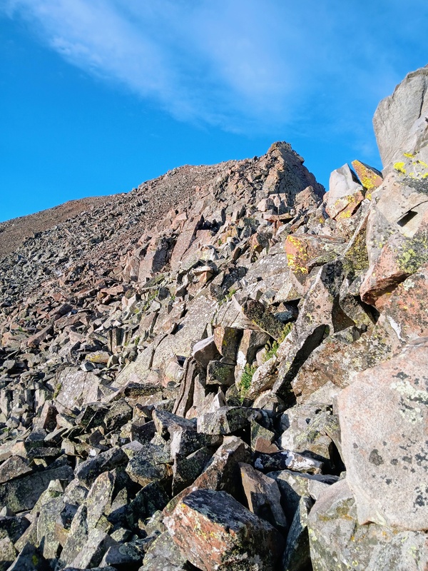
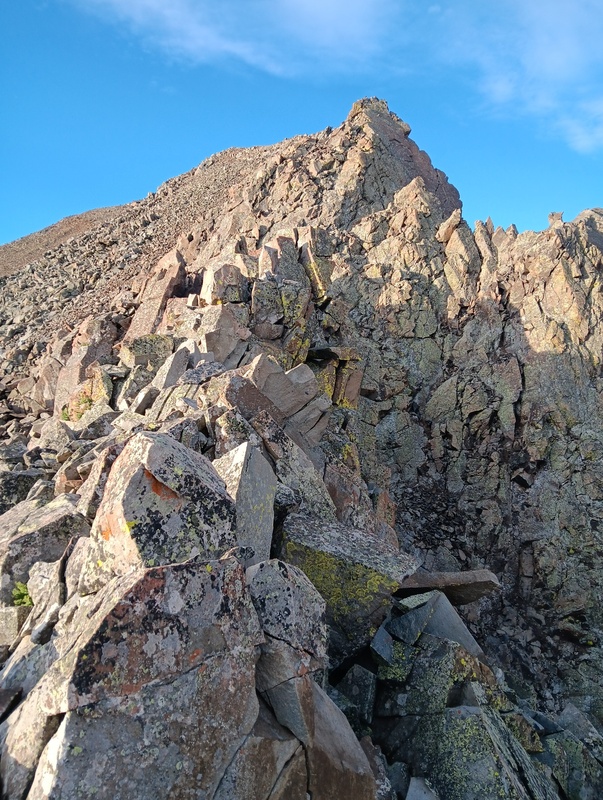
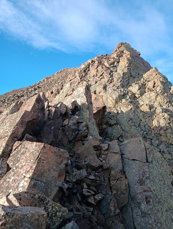
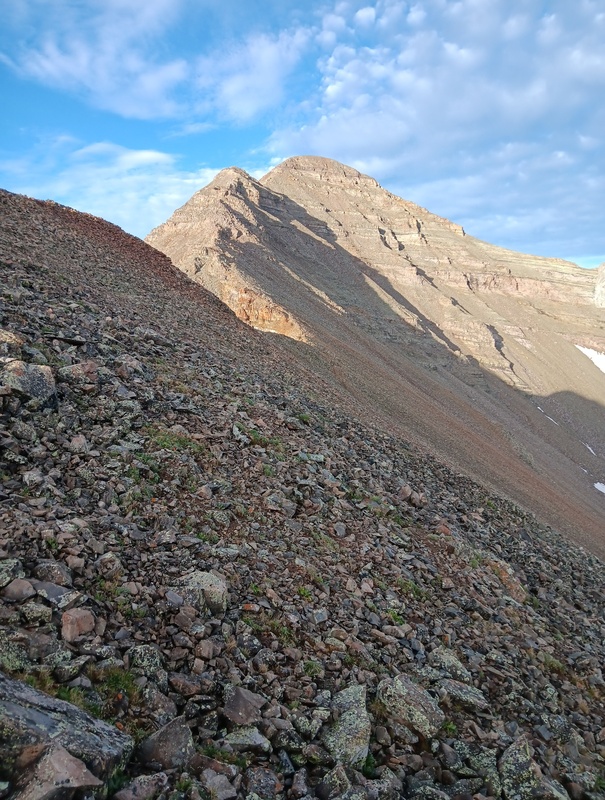
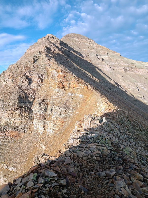
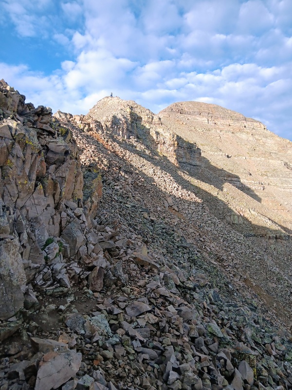
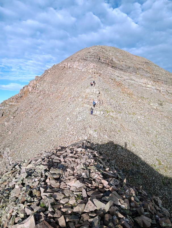
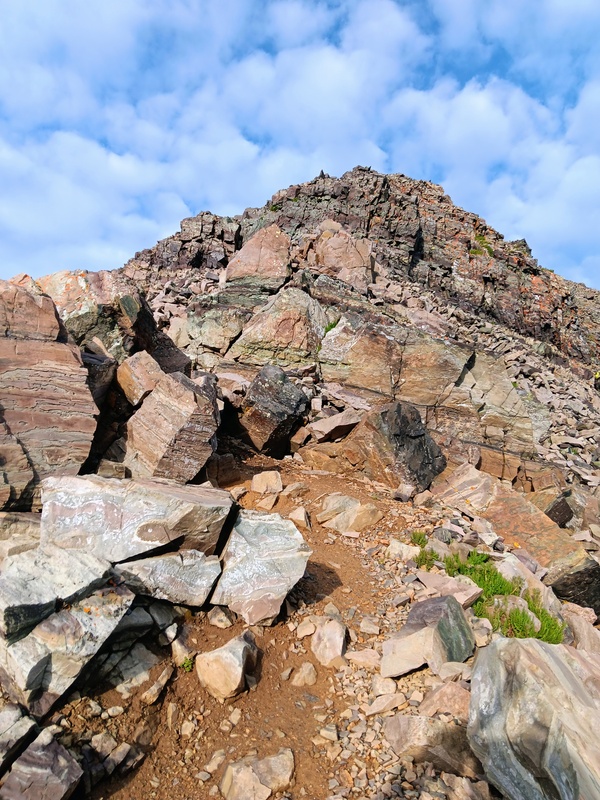
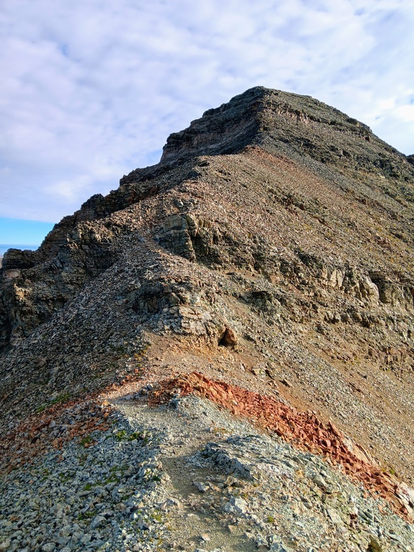
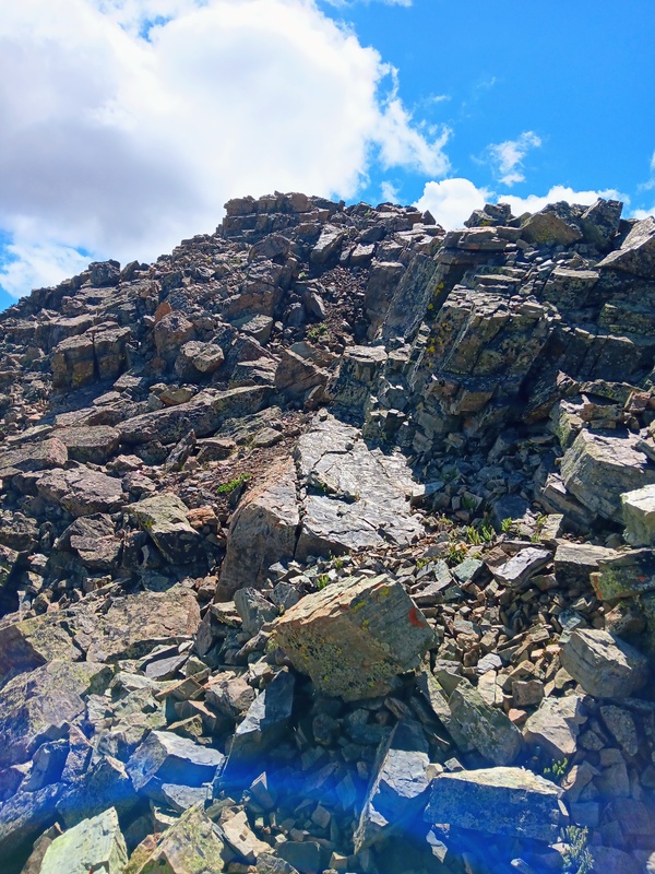
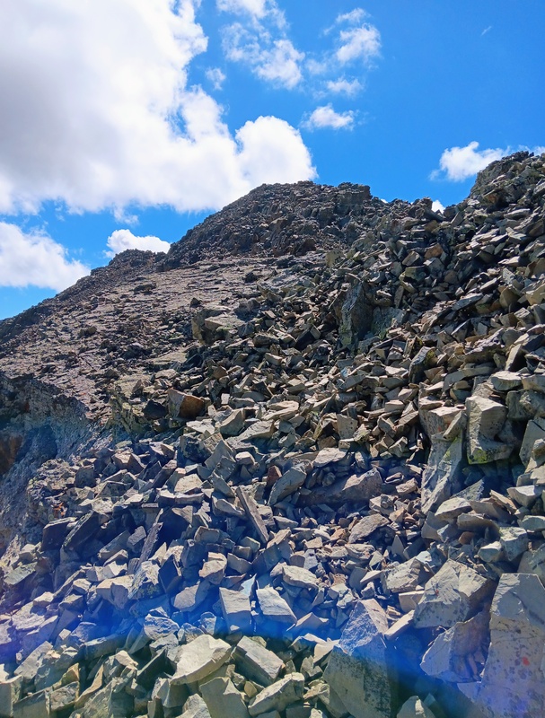
Once back on the ridge, the route was lots of fun with easy scrambling to the upper ridge crest. It was mostly 2+, as advertised, and anything higher could be avoided on the left. Eventually, the ridge flattens and opens up for a short climb to a point. I didn't climb all the way to the point, but instead, took a use trail cutting underneath to a saddle where I merged with the standard route as it starts climbing the upper ridge.
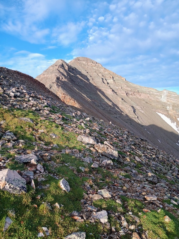
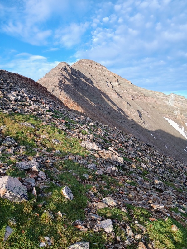
Overall, this was an enjoyable alternative to climbing the headwall. It wasn't better or worse, just something different for those that like to explore more and use their route finding skills a bit. I can see it being more useful in a normal summer when the headwall is still snow covered and you forgot your spikes. The views of Castle from a unique perspective adds nicely to this route.
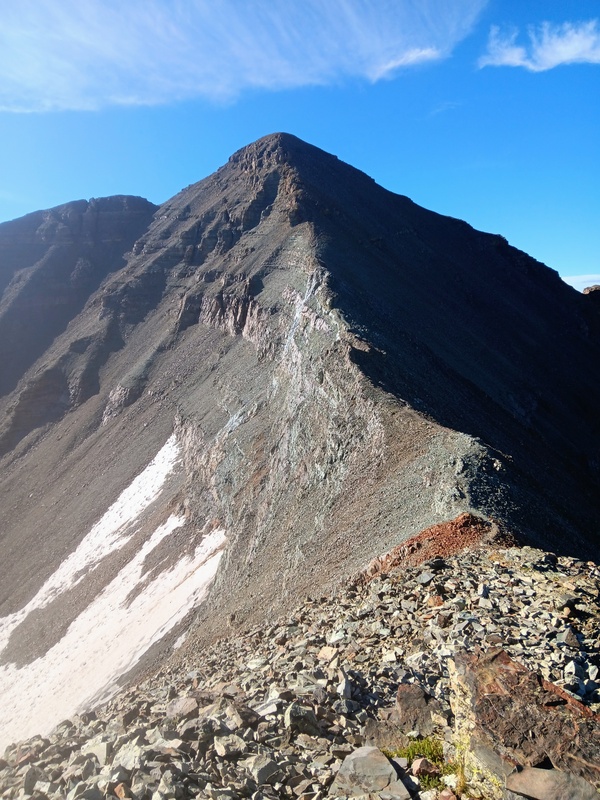
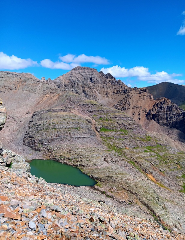
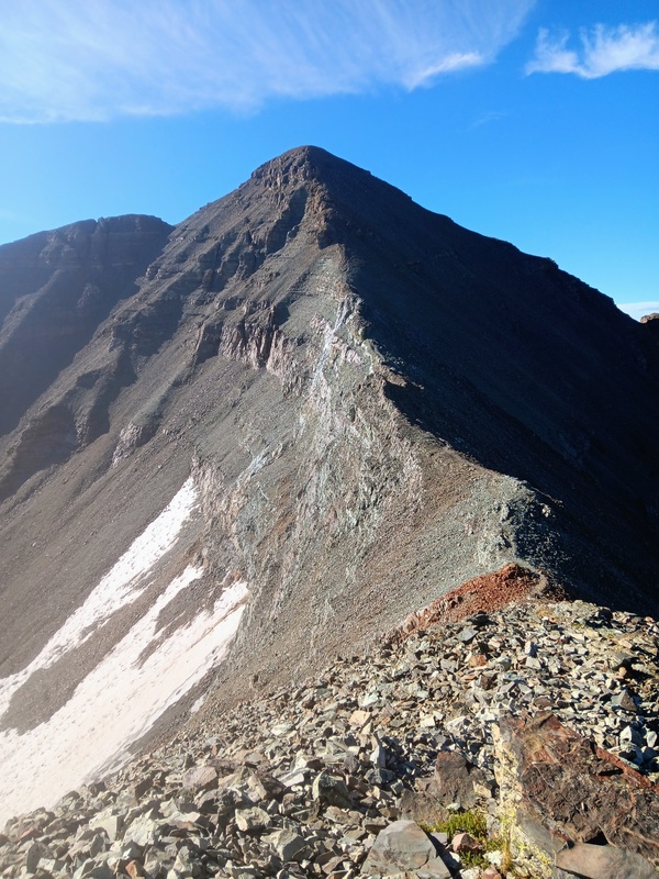
Beginning of scramble.Cool view of Castle.Top of scramble.Sidehilling to small saddle.Saddle where route joins standard.
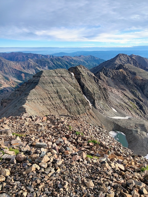
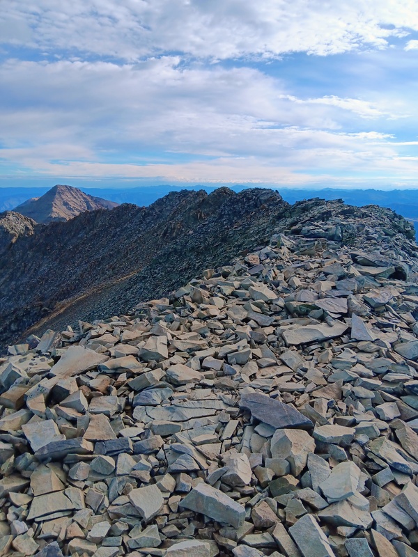
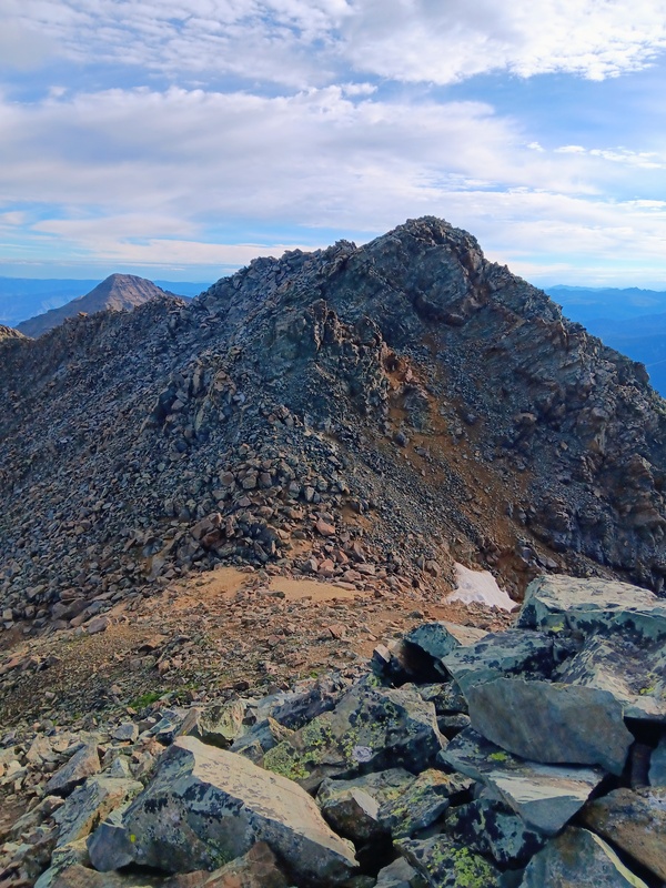
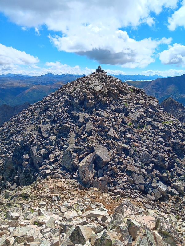
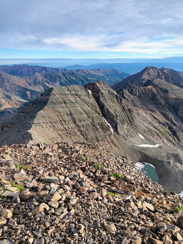
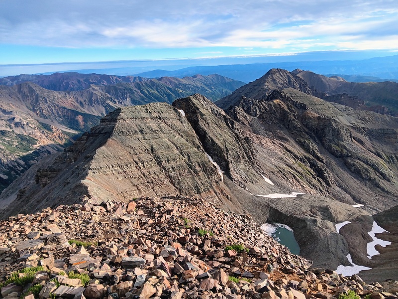
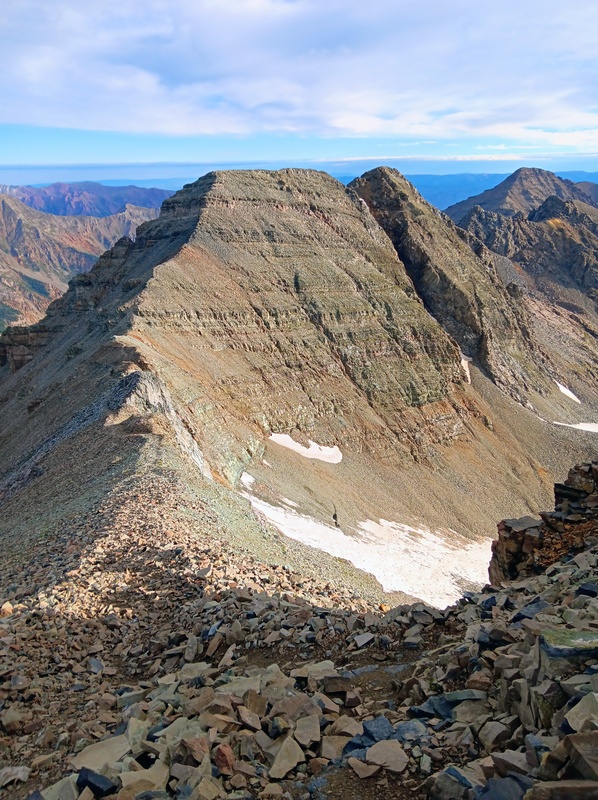
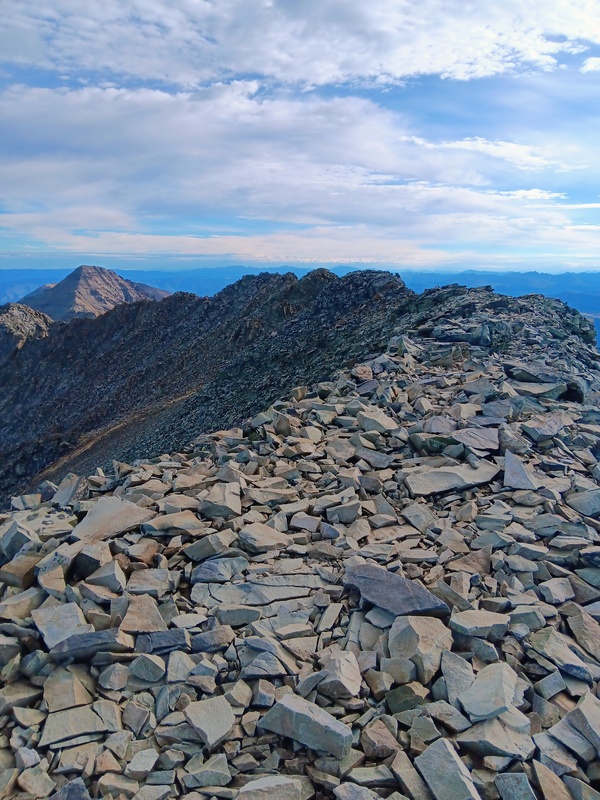
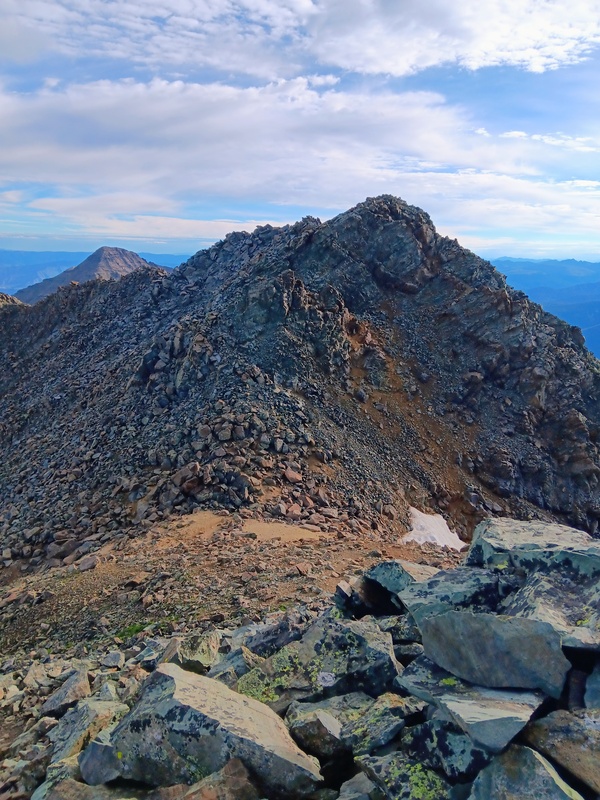
The rest of my climb to Castle went well with nothing unexpected. This climb was as fun as I remembered. I hit the summit at 7:15 and enjoyed the wonderful early morning views. A beautiful cloud inversion enhanced the already dramatic scenery as well. I continued onto Conundrum which was short and sweet. I met a nice group traveling from Ohio on Castle (the ones that I had camped near) and another climber on Conundrum from Oregon. Other than that, it was a very quiet morning on the Castle/Conundrum duo.
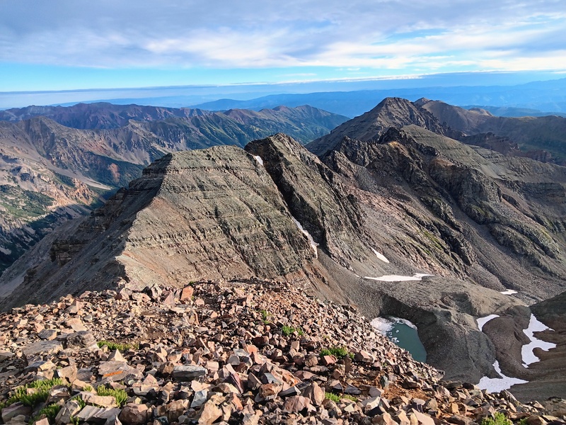
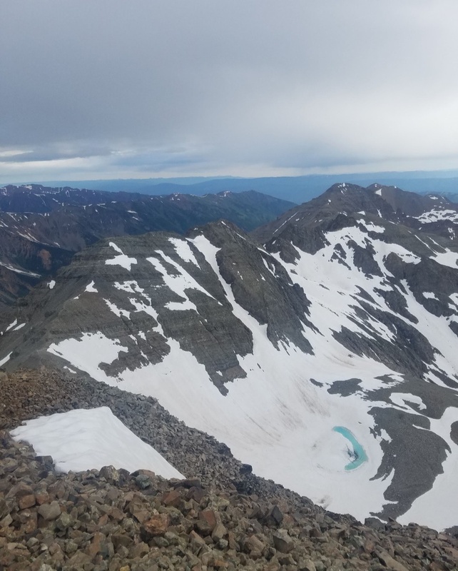
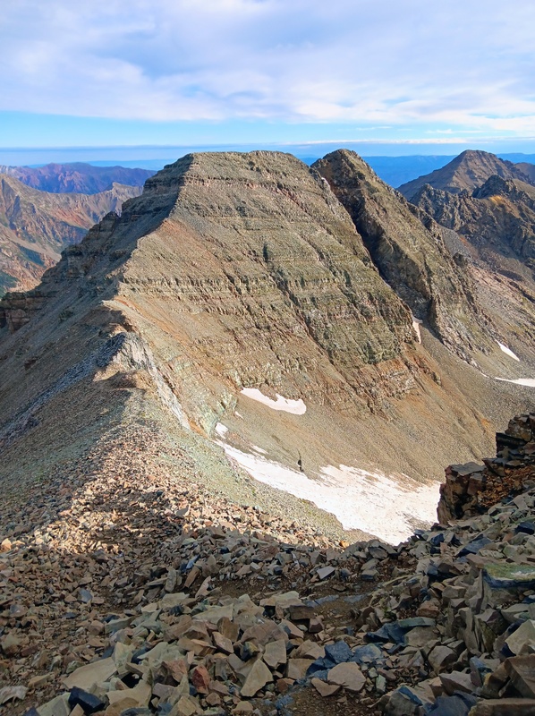
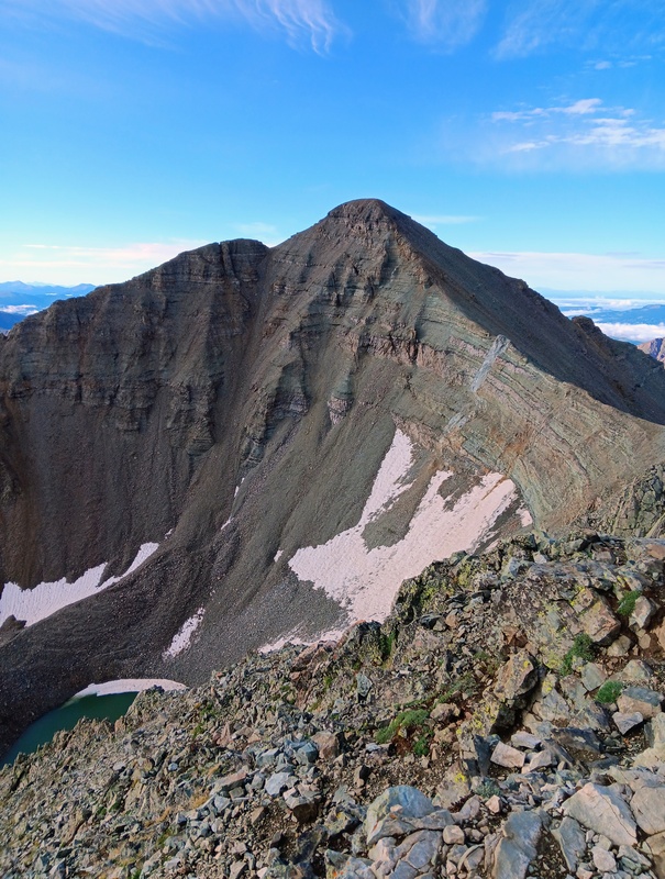
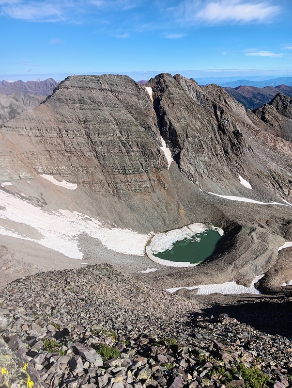
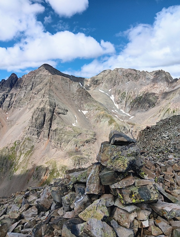
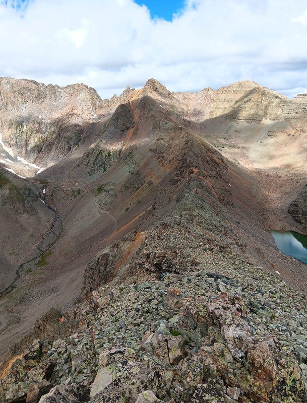
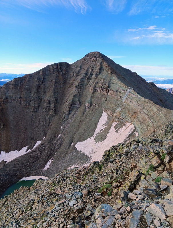
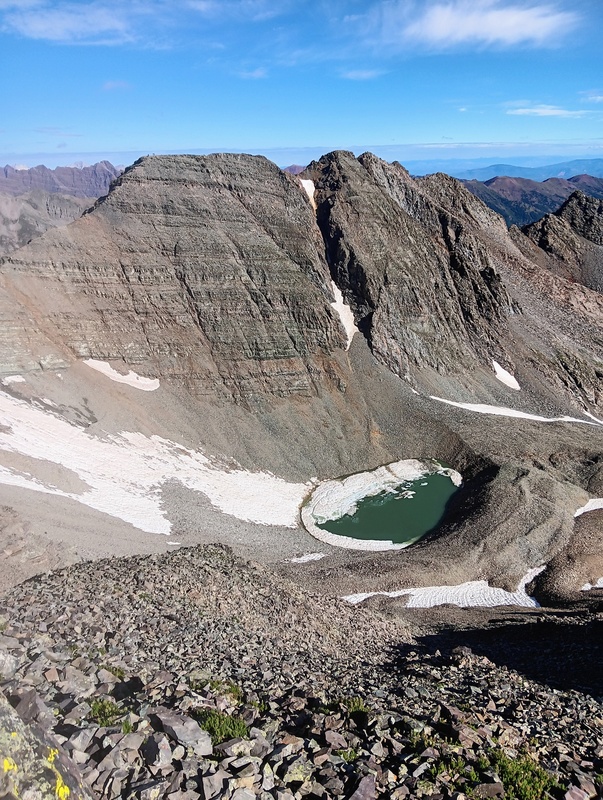
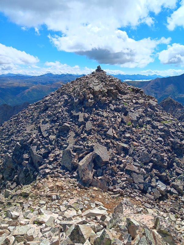
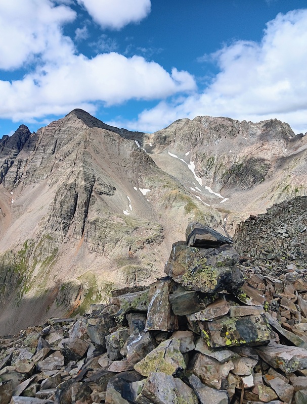
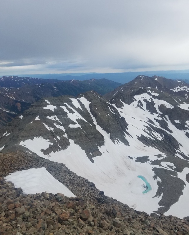
Standard route to Castle.Final push to summit.Conundrum from Castle summit.Same photo I took similar time frame July 2019, the year of "snowmegaddon".Descending Castle.Saddle.Ascending Conundrum.South Conundrum summit.Saddle with true summit.Castle from Conundrum summit.Malemute Peak and Castle Creek Road from Conundrum.
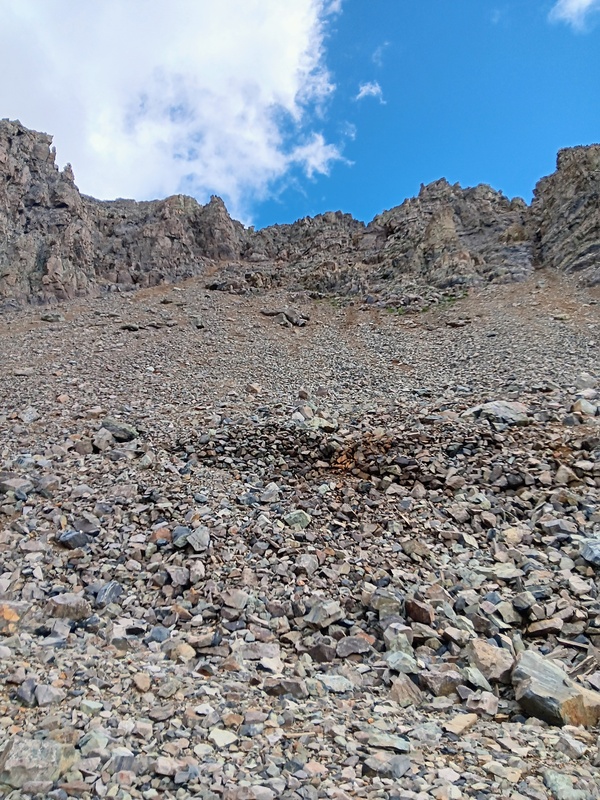
For my descent back to the road, I decided to climb back over Castle and descend from there. The scree slope descent at the Castle/Conundrum saddle didn't look fun or safe without snow, so I skipped it. I did watch the Oregonian climber drop down the scree slope and he managed it pretty well and beat me back to the road by a mile. I think I made the right decision though and wouldn't recommend that scree slope descent. I was happy to be back to the safety of the road and was excited to climb 13er Malamute now.
Descending Conundrum heading back to Castle.Conundrum.
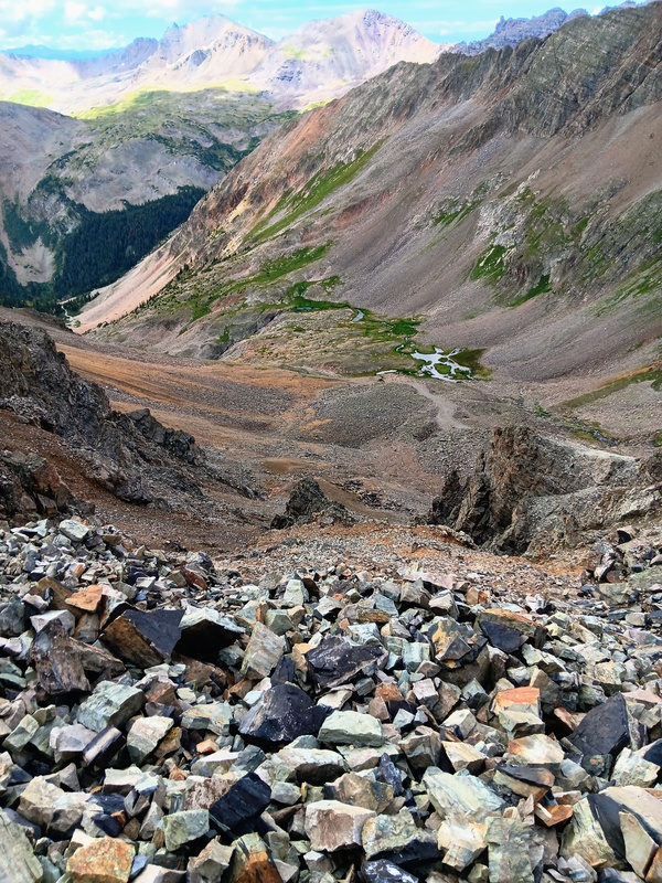
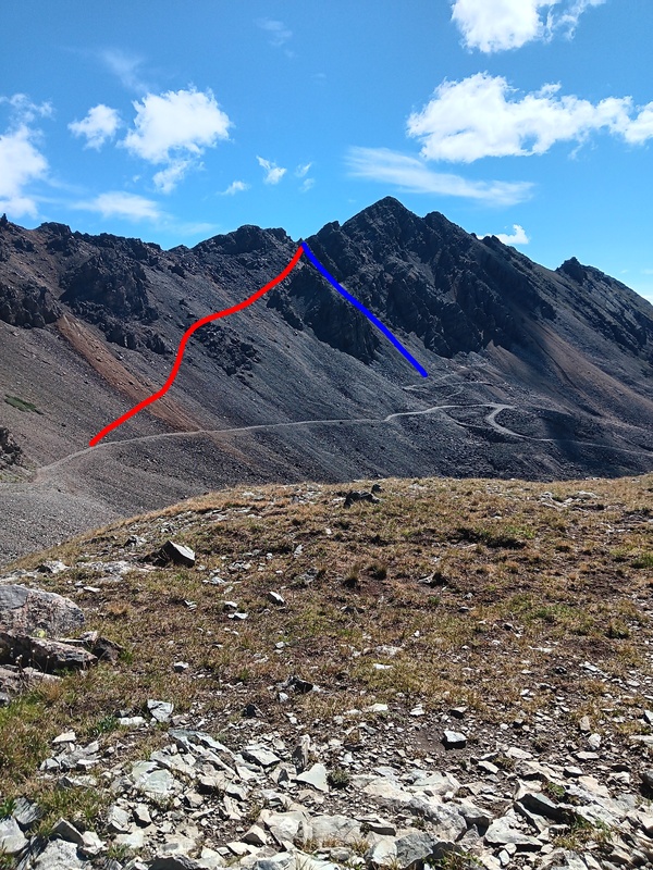
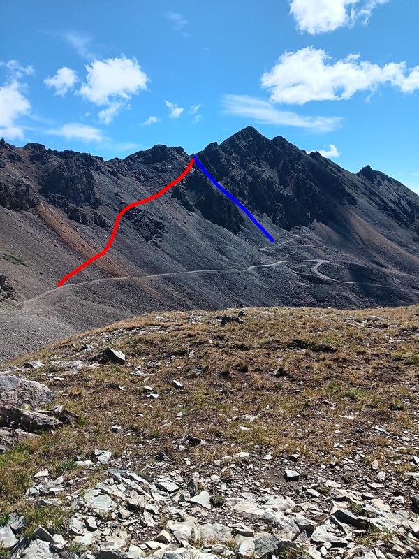
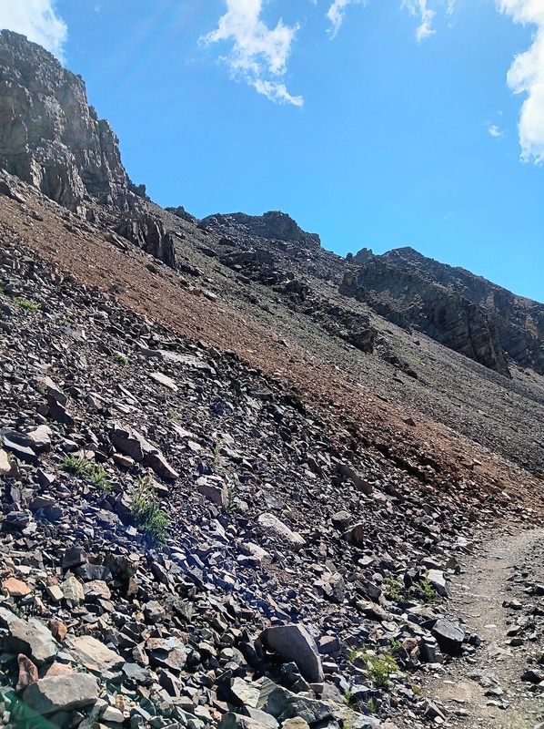
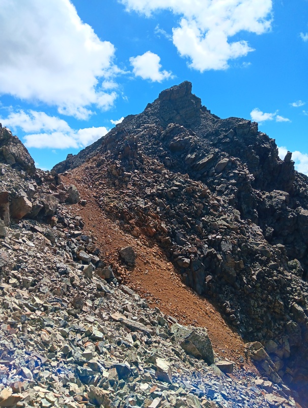
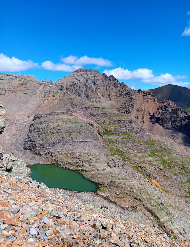
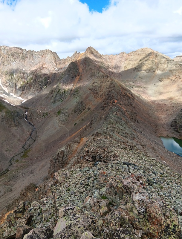
I then walked a short bit down the road to 12,600 feet just above the Montezuma Mine. I left the road here and started sidehilling east towards the Malemute ridge high above. It was steep and relentless, but not as bad as it looks from below. I reached the ridge crest at the midway point between the saddle and the summit and was greeted with a beautiful view of Cathedral Peak. I scrambled east along the 2+ ridge and shortly reached the pinnacle of Malemute Peak. The surrounding views from this vantage point were amazing. Malemute is well worth the effort.
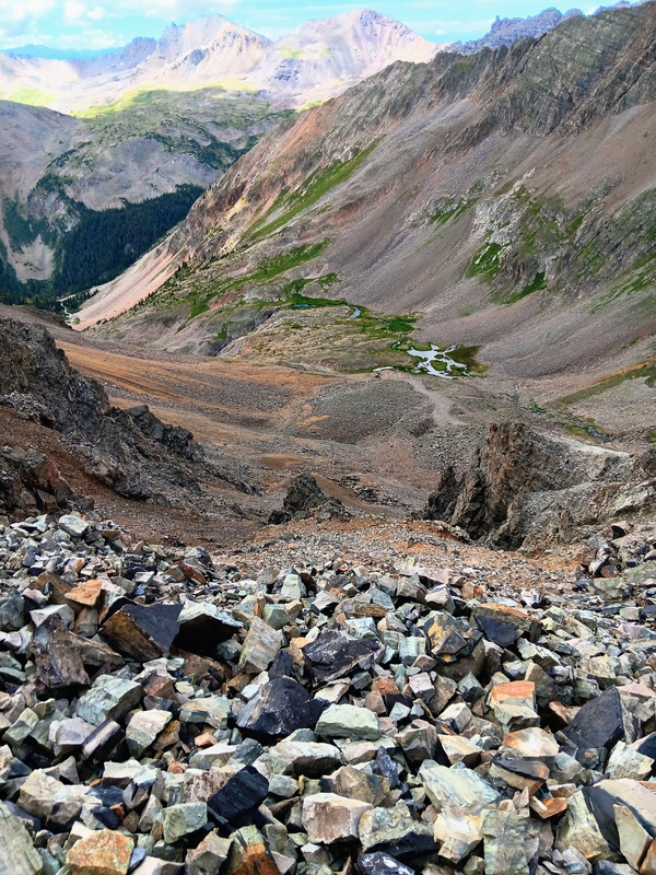
After a far to short of a stay, I descended west back down the ridge to the point where I had gained it earlier. I then decided to take the expressway down and then just descended straight down the steep, scree slope to the Montezuma Mine below and back to the road. Took only 20 minutes to descend from the summit back to the road. I cruised back to my truck at the Pearl Pass Junction and thus ended another successful and very rewarding day in the mountains.
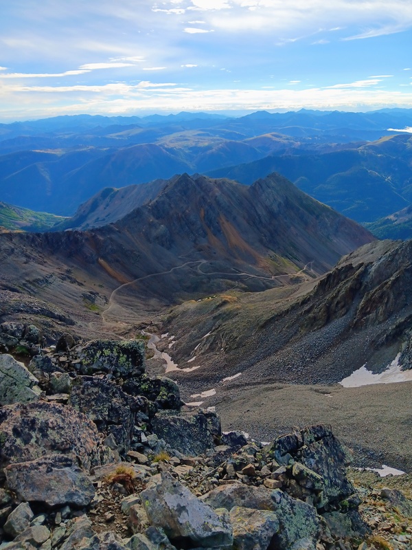
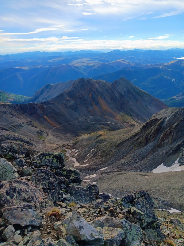
I left the road here for Malemute.Hit the ridge crest here.Cathedral Peak view.Ridge scramble.Malemute summit!Castle/Conundrum view.Heading west down ridge for descent.Descended here to the Montezuma Mine.Red line shows my ascent to the Malemute ridge. Blue line is my descent.
GPS Track(s) on Google Maps (made from a .GPX file upload):
Thumbnails for uploaded photos (click to open slideshow):
Comments or Questions
Caution: The information contained in this report may not be accurate and should not be the only resource used in preparation for your climb. Failure to have the necessary experience, physical conditioning, supplies or equipment can result in injury or death. 14ers.com and the author(s) of this report provide no warranties, either express or implied, that the information provided is accurate or reliable. By using the information provided, you agree to indemnify and hold harmless 14ers.com and the report author(s) with respect to any claims and demands against them, including any attorney fees and expenses. Please read the 14ers.com Safety and Disclaimer pages for more information.
Copyright: Route information, text, risk factors, maps, GPX files, charts, photos, 14ers.com-created map imagery, flythroughs, and other content provided in this route description are copyrighted by 14ers.com and may not be copied, reproduced, republished, distributed, modified, or used to create derivative works without prior written permission.
Please respect private property: 14ers.com supports the rights of private landowners to determine how and by whom their land will be used. In Colorado, it is your responsibility to determine if land is private and to obtain the appropriate permission before entering the property.