| Report Type | Full |
| Peak(s) |
North Eolus - 14,042 feet |
| Date Posted | 07/20/2026 |
| Date Climbed | 07/18/2026 |
| Author | turbocat |
| 58 Finisher ! |
|---|
|
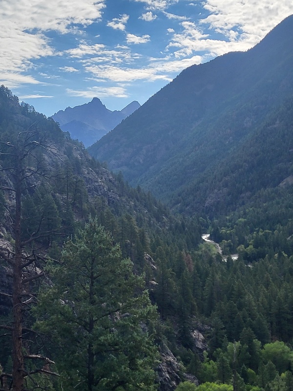
North Eolus #58 Background: Started my Colorado 14er Project July 19, 2003, on top of Longs Peak. I finished the list of 58 July 18th, 2026, on top of North Eolus. I missed summiting North Eolus back on August 2, 2008, due to a storm that blew in while we were approaching the summit of Eolus. We tagged Eolus summit and beat a hasty retreat back to the lower basin. I did not think much of it until I finished Little Bear in 2024, my last 'official' 14er. The 57/58 missing checkbox has been nagging me for the past 2 years, so I decided to take some time to return to Chicago Basin after nearly 20 years. I took my 19-year-old son and purposefully wanted to avoid the train and get in a good backpack adventure for us both. This was my 3rd trip into Chicago Basin. I was a bit concerned about the overuse that has been reported in the basin over the past 20 years. I am pleasantly surprised to report that despite the crowds; the basin is just as magical and in the same condition I remember it from 20 years ago. The trail even seemed better than I remember up to Twin Lakes. Day 1 Thursday July 16th, 2026: Made an early morning drive from Longmont to Durango. Grabbed a nice lunch at Steamworks and then headed to Purgatory Flats Trailhead about 30 miles north of Durango. Made a pitstop at some very clean and well stocked port-a-lets over at Purgatory Resort lower parking lot (across 550 from the Tacoma Drive turn on the east side, about .25 miles from the actual trailhead). I was curious if overflow parking was available there in the event the small trailhead parking was full. There was signage in the back lot that said overnight parking was available with a permit. The front lot was signed NO overnight parking. I would recommend contacting the ski resort to inquire if this is something you are interested in, or you hit the main trailhead, and it is full. We lucked out and the Purgatory Flats Trailhead has plenty of parking. Very strange to see million-dollar houses cropping up next to the trailhead, which is practically in one of their driveways. I wonder how long it will take before the fancy neighbors decide that the trailhead is a nuisance and attracting climber riff raff, and fight city hall to get it gone. It seems that is how gentrification works these days. We were on trail and headed down by @ 1:30pm. The trail drops steeply for about 1.1 mile to the flats with a decent number of small switchbacks, at the junction at the bottom take a RIGHT. Left leads to a series of social trails and campsites. There is good camping here with access to the Cascade River. The trail is mostly flat and meanders through some beautiful meadows until is drops into the more of a narrow choke high above the Cascade. I kept thinking, what a master class in trail building this was. Very mellow and pleasant hiking. There are pack animals that utilize this trail, so it was built to not be too steep, and wide enough to accommodate them. 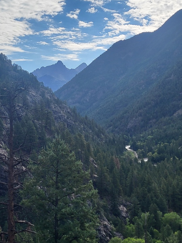
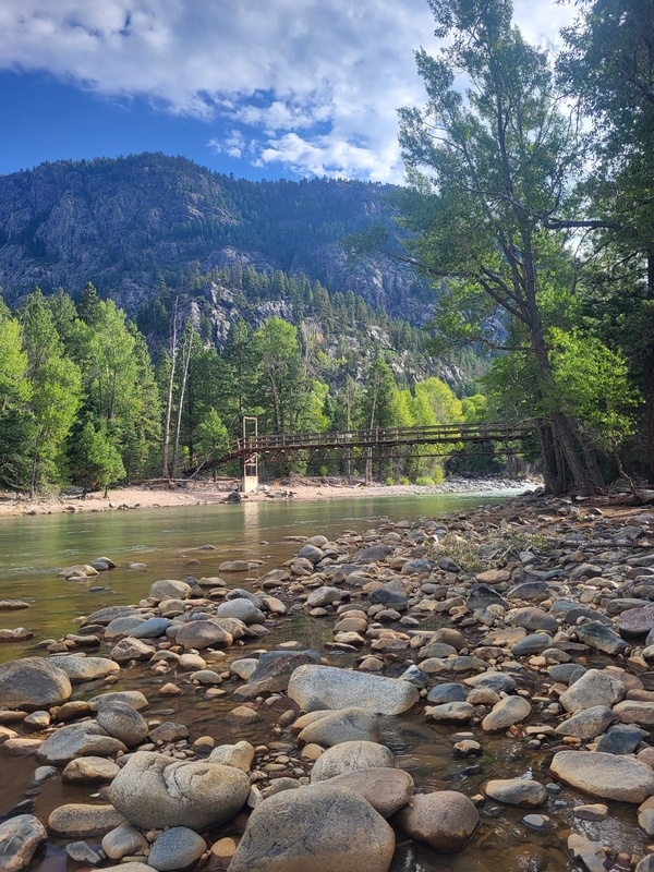
There were some beautiful overlooks along the way. Mind your steps and balance, there are some steep drops that would be consequential. It is about 4 miles to get down to the Animas River Bridge Crossing. There is a lot of camping options and even a few picnic tables that the train must have hauled in at some point. 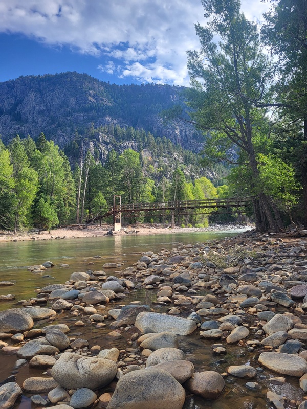
After crossing the bridge, we followed the trail northeast and across the D&S rails to the Animas River Trail northbound. The crossing was right near an iron rail bridge. We hiked for about another 2 miles and setup camp along the Animas. There were some good camping options a few hundred yards back off the trail next to the river. Many looked to be hunting camps and have been serviced by pack trips judging from the bones lying about. Day 2 Friday July 17th, 2026: We wanted to be up and on the trail by 7am to beat the Needleton train crowd being dropped at 10:45am. The hike to Needle Creek was about 3.5 miles and mostly flat with a few gentle ups and downs. We made the Needle Creek bridge around 8:30am and started the soul sucking climb up to Chicago Basin. We decided to camp in lower Chicago Basin at about 10,700' and 1.5 mile below the junction for Columbine Pass and Twin Lakes. There were some great sites right next to the creek in meadows. We relaxed all afternoon and prepped for our summit attempt the next day. Day 3 Saturday July 18th, 2026: I pulled a weather report from my Garmin which did not look too good for our summit attempt. It claimed 30% showers starting at 3am and 50% thunderstorms by 10am. We decided to wake at 1:30am and be on the trail by 2am. We made the Columbine Pass/Twin Lake split in 45 minutes and began the climb up to Twin Lakes. We made it to the lakes around 4am and took a break. We were both worn out and cold, but decided to push on up the Eolus trail, there were a few groups that had passed us and were heading up, there were also a few groups that had an earlier start out ahead, we watched the conga line of head lamps. The weather seemed to be holding with clear skies and stars. Daylight started to break as we hit the talus field. Great trail work here, not what I remember from 20 years ago. Easy to follow and good talus steps. Some angry ptarmigans getting really vocal protecting their nests. The ramp went quickly and then we were below the notch. It was about 6:30am. 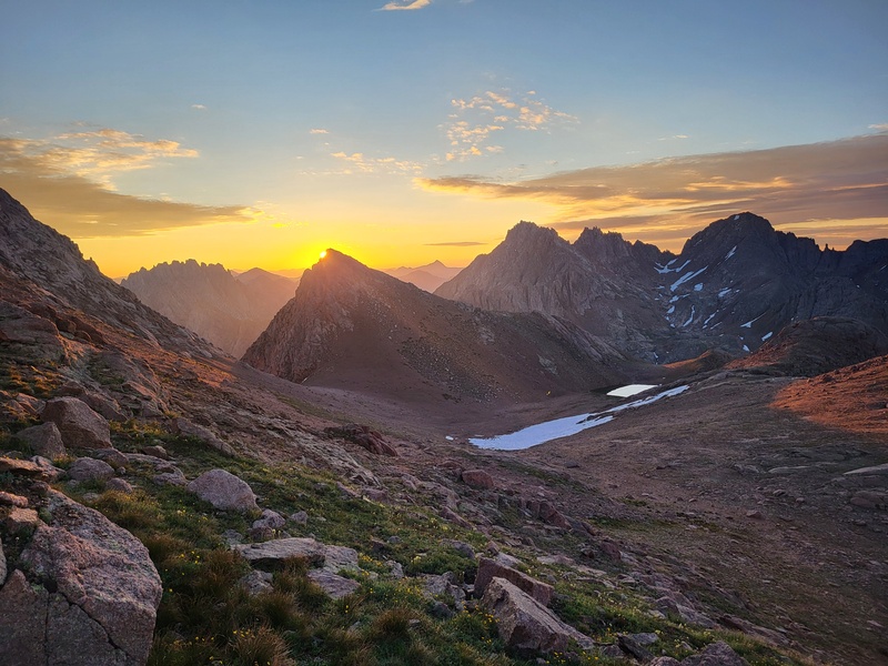
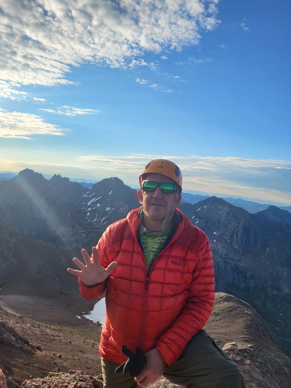
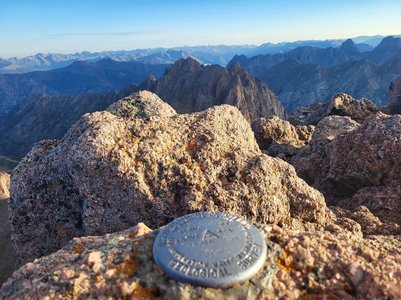
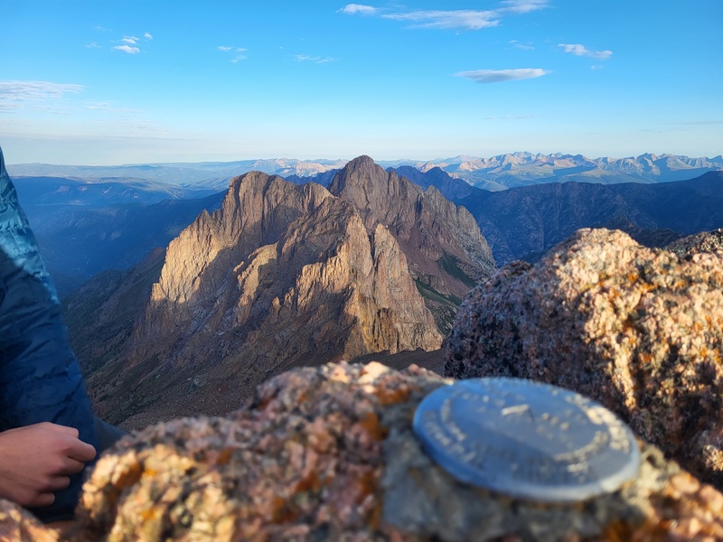
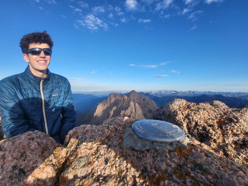
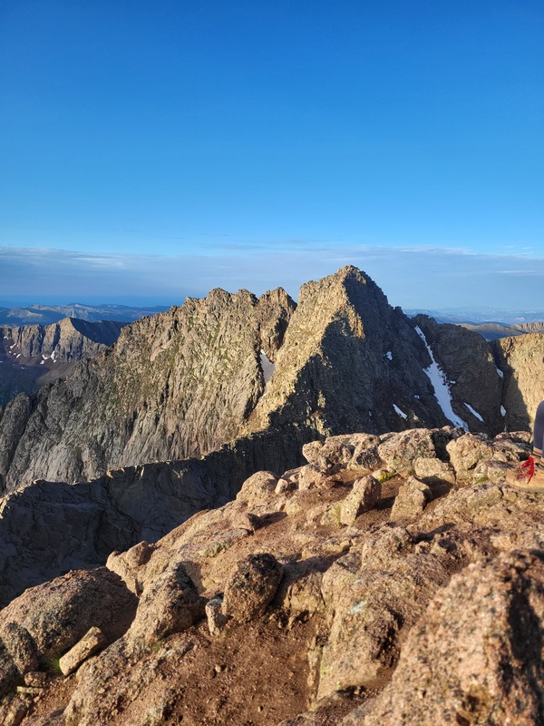
We donned our helmets, left our packs and poles, and ascended the class 3/4 gully to the notch. It was a bit airy. We then picked our way up the summit ridge to the North Eolus summit. Great views all around, especially of Pigeon and Turret and NY and Ruby Basins. Good views of Eolus, too. 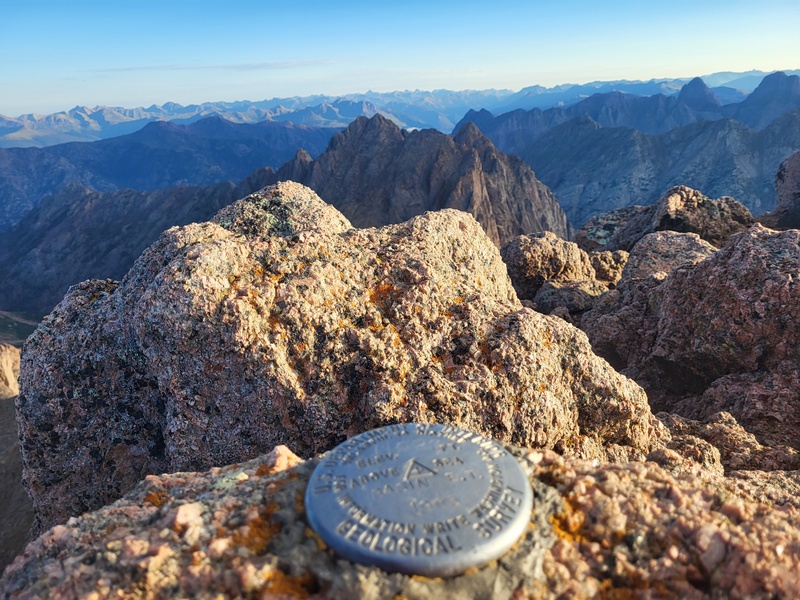
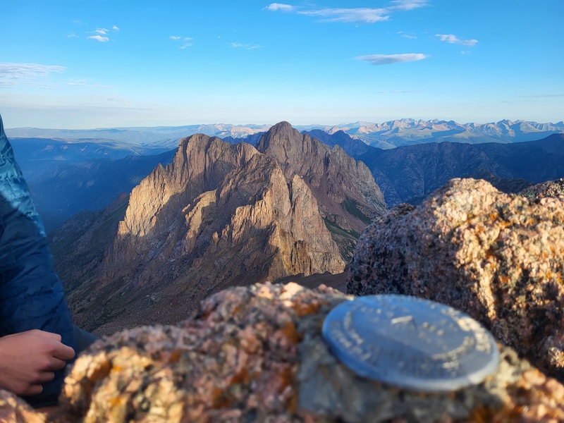
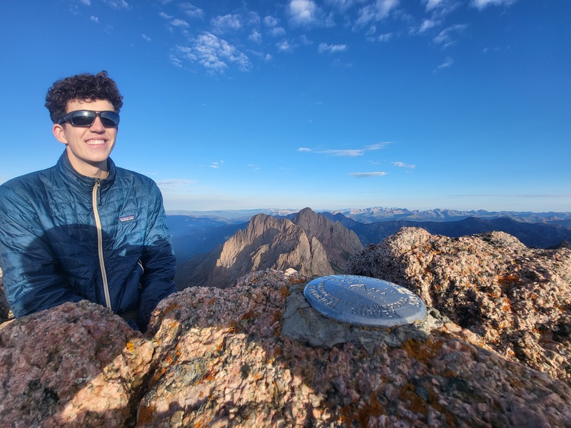
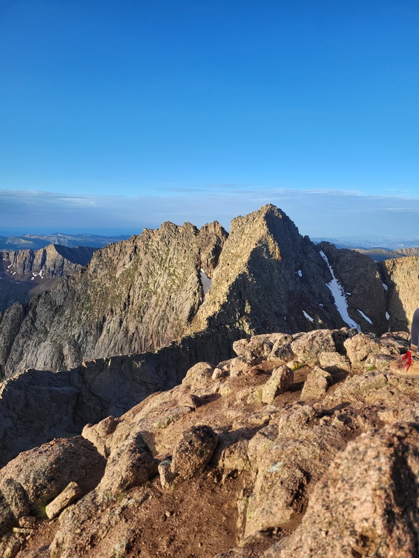
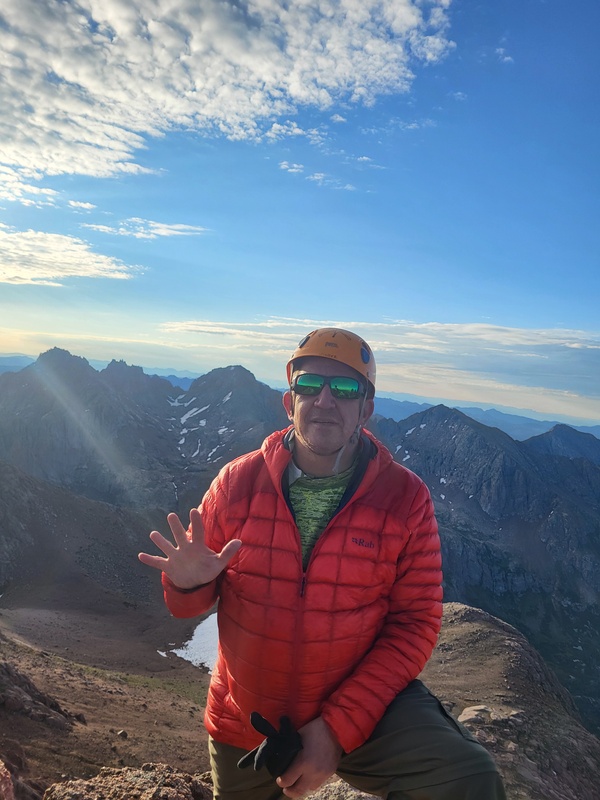
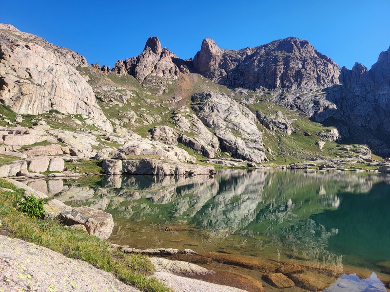
We enjoyed the summit and then picked our way back down toward the notch. There was an easy slabby class 2+ walk off to the left (north) to avoid the Class 3 down climb which we opted for. We headed back down to Twin Lakes. Weather was still holding so we hung out at the lakes. 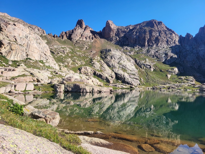
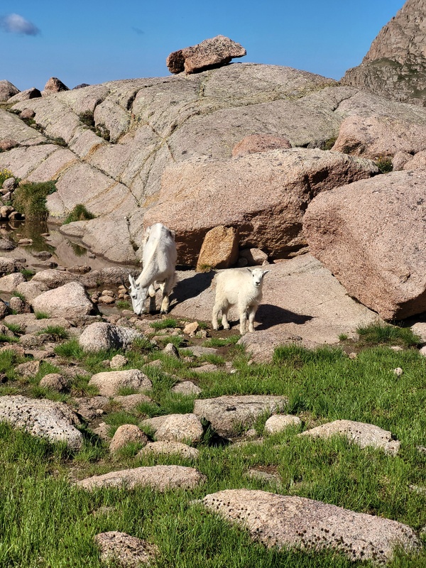
Such a magical place. We even got to enjoy some wildlife. 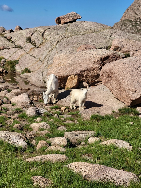
We dropped back to camp and arrived at 11am. 9 hours roundtrip for about 7 miles! We packed up and headed down to the Animas River. We were wiped out. We crossed Needle Creek and headed south for a few miles and then found a nice camp along the river to lay up. Day 4 Sunday July 19th, 2026: We were hiking just after 7am and made quick time to the Animas River bridge crossing. We powered up the Purgatory Flats trail and made it to the car at 11am. The trailhead was overflowing with folks circling for spots. Weather was gorgeous. We headed toward Ouray for some burgers (and celebratory beers for me) at Ouray Brewery and a soak in the Ouray hot springs, then onward home to Longmont. STATS: These #s seem a bit underestimated, but it is what I got off my Garmin InReach with drops tracks every 10 minutes. Car to Animas Camp #1 - 5.23 miles
Animas Camp #1 to Lower Chicago Basin Camp - 7.28 miles
Lower Chicago Basin Camp to North Eolus Summit and Return - 6.56 miles
Lower Chicago Basin Camp to Animas Camp #2 - 6.18 miles
Animas Camp #2 to Car - 6.25 miles
Per Garmin tracks = 31.50 miles total
Hiking Time = 29 hours, 28 Minutes
Total Elevation Change Up/Down = 13,630'
Great trip and I really recommend this approach to the train. Purgatory Flats trail and the walk along the Animas is outstanding. Next time I will bring my fishing pole and spend more time along the river. Thumbnails for uploaded photos (click to open slideshow): 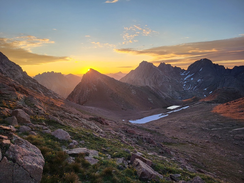
|
| Comments or Questions | ||||||
|---|---|---|---|---|---|---|
|
Caution: The information contained in this report may not be accurate and should not be the only resource used in preparation for your climb. Failure to have the necessary experience, physical conditioning, supplies or equipment can result in injury or death. 14ers.com and the author(s) of this report provide no warranties, either express or implied, that the information provided is accurate or reliable. By using the information provided, you agree to indemnify and hold harmless 14ers.com and the report author(s) with respect to any claims and demands against them, including any attorney fees and expenses. Please read the 14ers.com Safety and Disclaimer pages for more information.
Copyright: Route information, text, risk factors, maps, GPX files, charts, photos, 14ers.com-created map imagery, flythroughs, and other content provided in this route description are copyrighted by 14ers.com and may not be copied, reproduced, republished, distributed, modified, or used to create derivative works without prior written permission.
Please respect private property: 14ers.com supports the rights of private landowners to determine how and by whom their land will be used. In Colorado, it is your responsibility to determine if land is private and to obtain the appropriate permission before entering the property.