Download Agreement, Release, and Acknowledgement of Risk:
You (the person requesting this file download) fully understand mountain climbing ("Activity") involves risks and dangers of serious bodily injury, including permanent disability, paralysis, and death ("Risks") and you fully accept and assume all such risks and all responsibility for losses, costs, and damages you incur as a result of your participation in this Activity.
You acknowledge that information in the file you have chosen to download may not be accurate and may contain errors. You agree to assume all risks when using this information and agree to release and discharge 14ers.com, 14ers Inc. and the author(s) of such information (collectively, the "Released Parties").
You hereby discharge the Released Parties from all damages, actions, claims and liabilities of any nature, specifically including, but not limited to, damages, actions, claims and liabilities arising from or related to the negligence of the Released Parties. You further agree to indemnify, hold harmless and defend 14ers.com, 14ers Inc. and each of the other Released Parties from and against any loss, damage, liability and expense, including costs and attorney fees, incurred by 14ers.com, 14ers Inc. or any of the other Released Parties as a result of you using information provided on the 14ers.com or 14ers Inc. websites.
You have read this agreement, fully understand its terms and intend it to be a complete and unconditional release of all liability to the greatest extent allowed by law and agree that if any portion of this agreement is held to be invalid the balance, notwithstanding, shall continue in full force and effect.
By clicking "OK" you agree to these terms. If you DO NOT agree, click "Cancel"...
I have this pipe dream of finishing all the Thirteeners. I try and work towards this monumental goal when I can, but honestly, I’m not entertaining any illusions I’ll actually ever finish. And to clarify, using back of the envelope math, I think I have somewhere in the neighborhood of 250 more peaks to go. And to clarify further, those are only RANKED peaks. If you were so inclined to add in the unranked peaks (which I am), then I would need to add an additional ~150 more peaks, give or take. And that doesn’t touch the fact that some of these peaks are highly technical; skills that are above my pay grade to lead climb. So, try as I may to limp my ass over the finish line, I’ll more than likely crash out a few hundred meters short, face down in the gutter.
Looking for something to hike that didn’t involve careening our heads into a campfire (Colorado + wildfires are becoming synonymous with summer), we drove up to Cottonwood Pass in the Sawatch to hike Turner Peak. The smoke affects Regina badly (asthma). So, we needed something that didn’t involve marshmallows and smores.
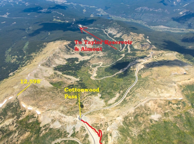
We left the Western Slope around 10:00 am and arrived at Cottonwood Pass around 12:30 pm. We got lucky and I poached a prime spot as a camper van from Virginia left. Although, I gingerly maneuver around a dipshit, white Tesla from Texas who decided to block the whole thoroughfare. Cottonwood Pass was used frequently by early Ute Native Americans before white men came onto the scene. Named by an early settler & freighter named Dave Wood in 1877, he traversed this pass multiple times before the wagons made their marks. Once placer gold & silver were discovered in Taylor Park a few years later, Cottonwood was basically open for business.
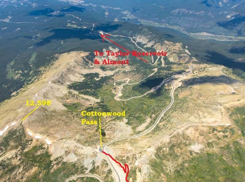
Aerial View of Cottonwood Pass
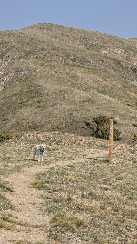
As we left the parking lot, the smoke wasn’t bad, hardly noticeable actually. But that would change. I watched some tourists marvel and laugh at a small snow patch that was in the tundra and smiled. The older we get, these moments get fewer & fewer. Although, when I saw an alligator in the wild for the first time behind a Publix in Bluffton, South Carolina chilling on the grass, I turned into a screaming, 12-year-old girl. So, I understand. We gave the dog some food and water, waited for an RV that was towing a Jeep & everything else you could think of (except for maybe a bathysphere), crossed the road and started up the Collegiate West Colorado Trail (segment two).There’s only a trail for a short time.
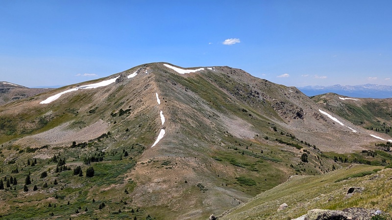
Once we turned off from the CT, we followed an easy social path up to the summit of Point 12,585’, also known in some circles as “Turn-a-Round’ peak. I imagine because, for such an easy mountain to summit (Turner), it looks impossibly far from this point. And it all fairness, it does. But also, enticing because it means losing the circus of tourists of Cottonwood Pass.
Because we had the dog and I thought the ridge was going to be a rocky, scree-filled suck fest, I opted to descend the steep, grassy tundra that I could see. This way, it would be easier on her paws. And honestly, it wasn’t that much out of the way. We descended about 520’ to the saddle and took a quick break in the grass. More so, that Kaiah could get her ‘roll on’ in the wildflowers.
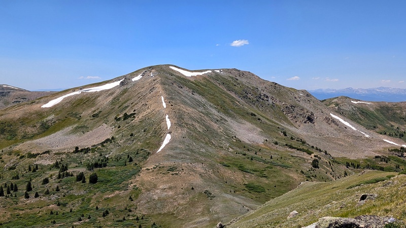
Looking back at 12,585'
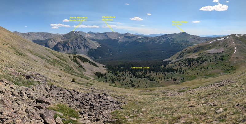
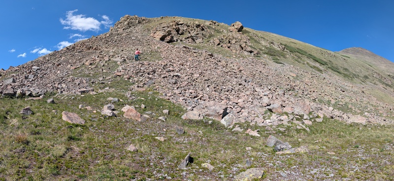
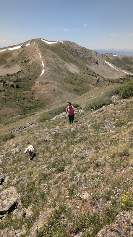
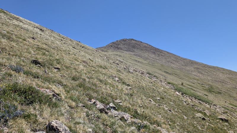
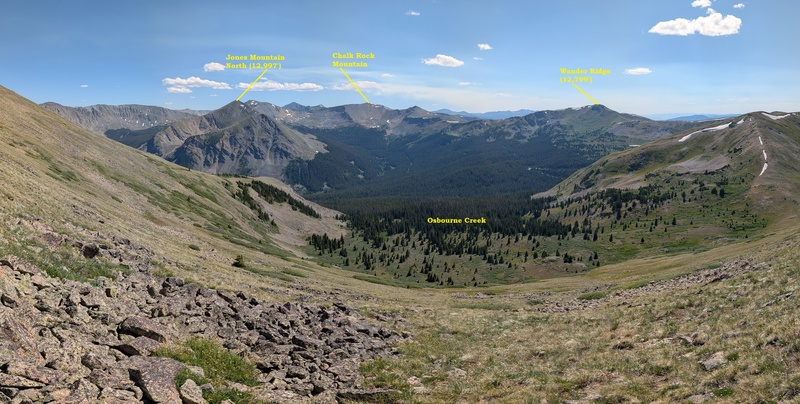
There was a faint, social trail heading up the opposite shoulder that we took. We followed it up as it dog-legged right (pun intended) across a short talus patch before we lost it again in the tundra. Not that it mattered anyway. Seeing the saddle with Turner and an unnamed high point on the ridge, the path forward was clear. Although I will say, walking up almost 1,000’ seemed to take forever. The views down into Osbourne Creek were nice. I thought it would be a great place to camp. Even with the commotion, dust, blaring music and downshifting gears of Cottonwood Pass under a mile away, it’s good to know that one can literally walk in any direction for an hour and be in alpine solitude and quiet. In the words of Neil Young,
“Got fuel to burn, got roads to drive.”
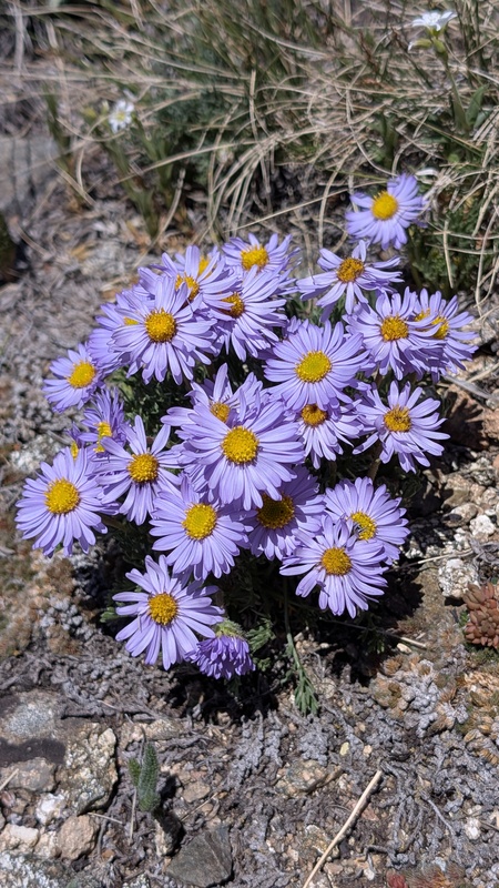
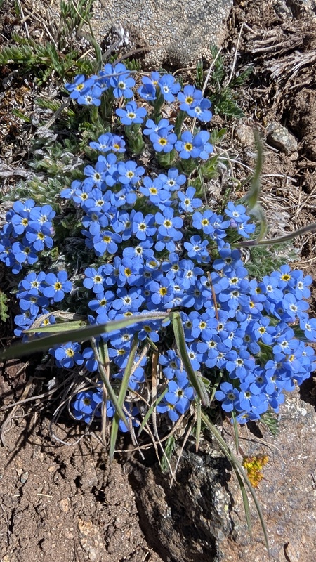
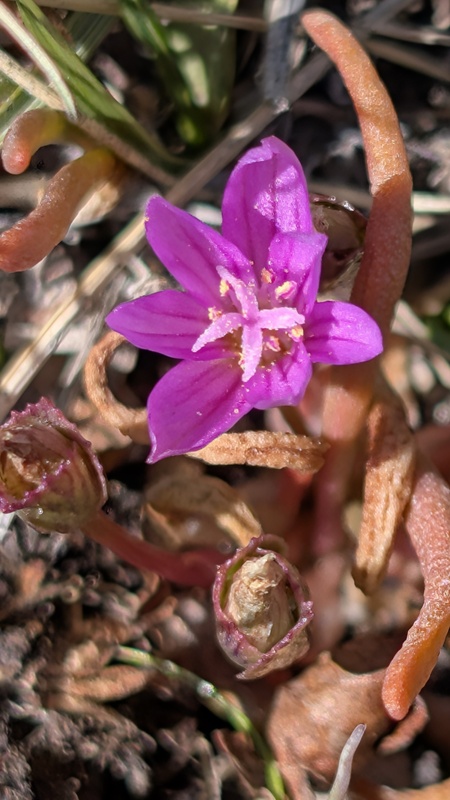
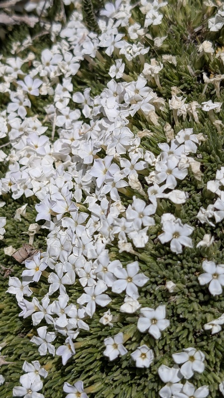
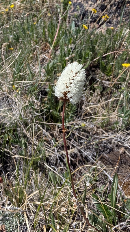
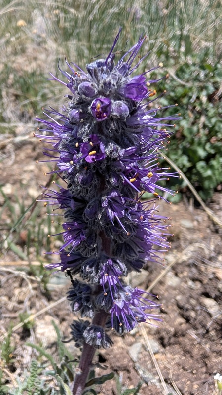
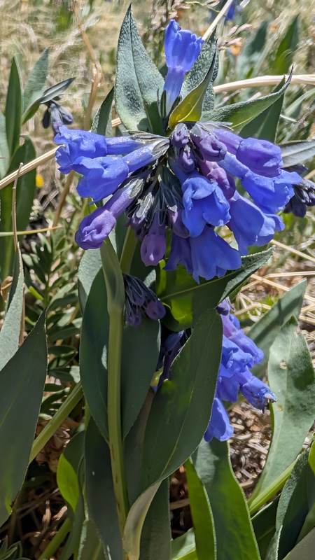
Even with as dry as it’s been, the wildflowers were abundant. Though, if no rain falls, I can’t imagine the color sticking around for much longer. I plopped down in a patch of Monet yellow and waited for Kaiah and Regina to arrive.
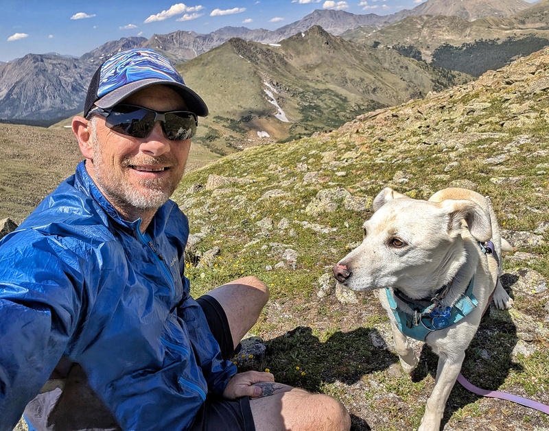
We contoured up the easy slope aiming for the saddle which, pretty much stays in view the entire time. However, Kaiah wasn’t for the summit. Floating like an island surrounded by a sea of sharp granite rock and talus, was this great little tundra patch where we decided to stop the dog. We didn’t have her booties and the rock would have tore up her paws. So, we took turns in achieving the summit.
Looking north from near the CT
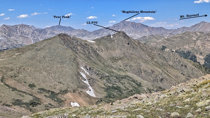
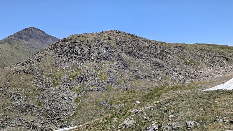
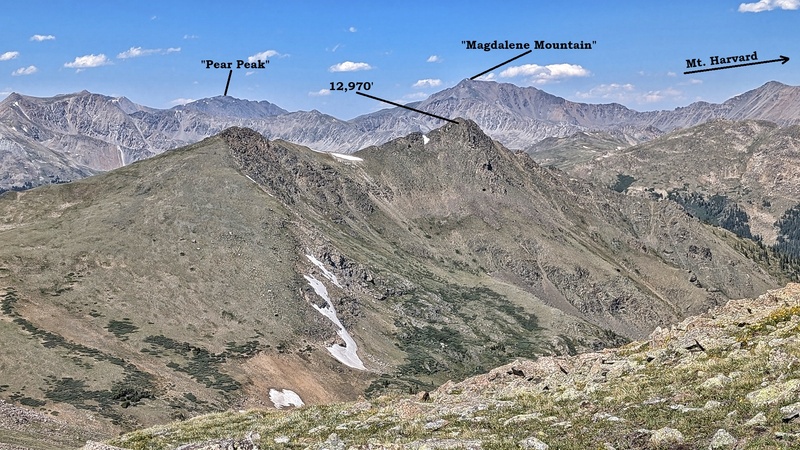
Looking south from the Turner/12,585' saddle
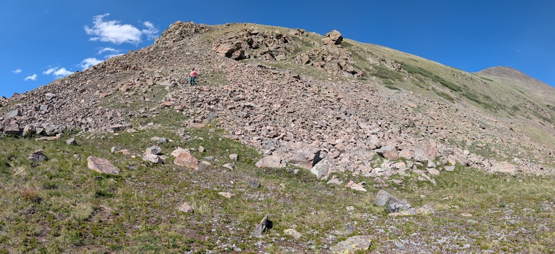
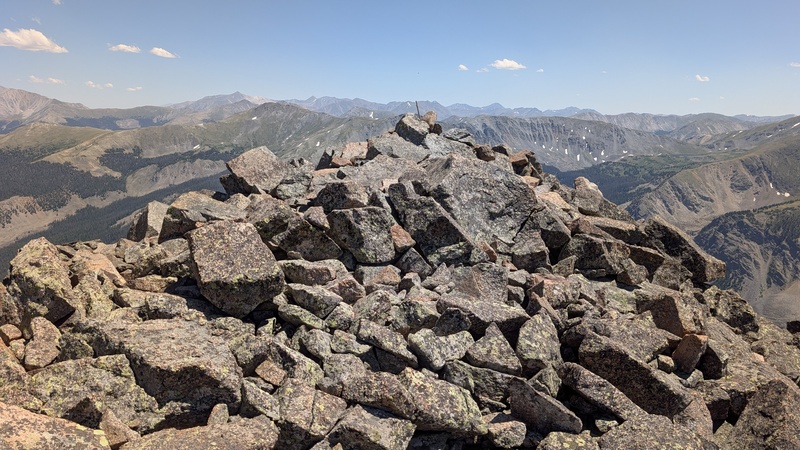
As expected, the summit of Turner Peak wasn’t all that. But it’s the Sawatch, so, par for the course. After we each summited, we descended back to the saddle and took the ridge/shoulder up instead. It was all dirt and scree. There were multiple social trails weaving in & out like braided glacial streams. We thought about just staying low and traversing into South Texas Creek, but the bushwhacking would have cost us more time then regaining the altitude of 12,585.
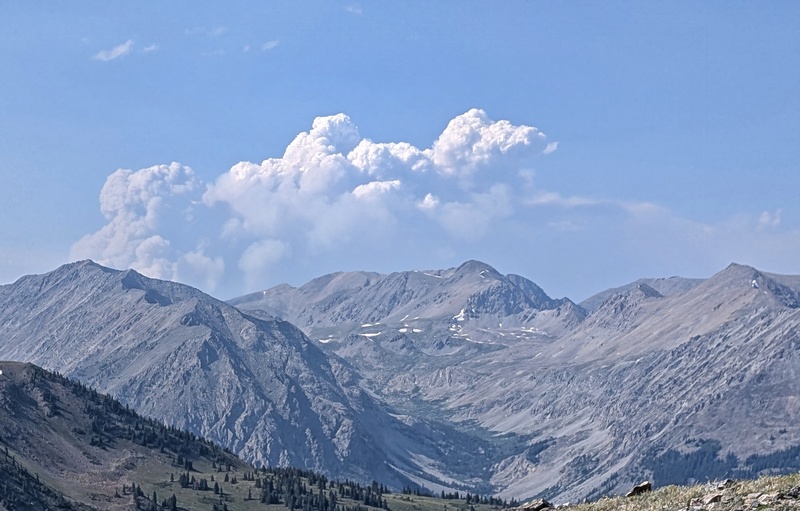
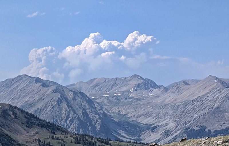
Trekking back to the pass, we watched the Willow Fire to the north roar up like a phoenix throwing massive cumulonimbus into the skies. It was truly amazing and scary at how fast it erupted. And considering I worked on contract for an arborist tree company after the Black Forest Fire of 2013, going in and marking trees and taping off dangerous areas, I’ve seen first-hand what fire can do (including ground zero). Hopefully, 2026 isn’t the summer of devastation.
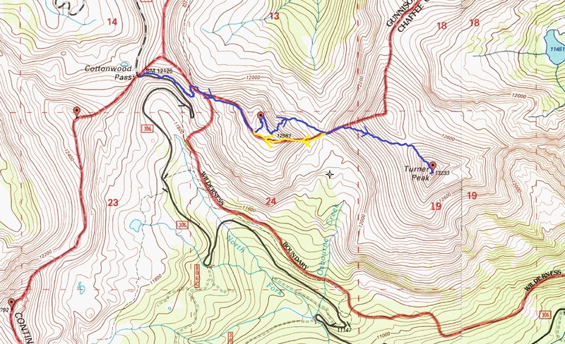
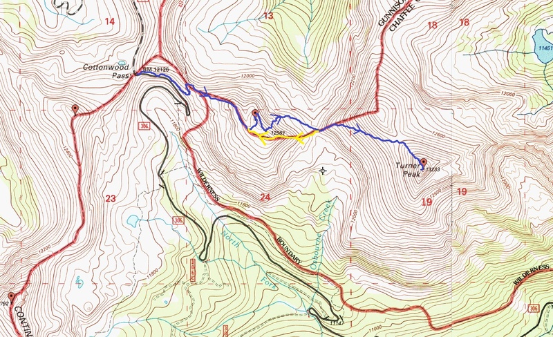
Route Map
Regina approaching the saddle
Plumes of smoke from the Willow Fire
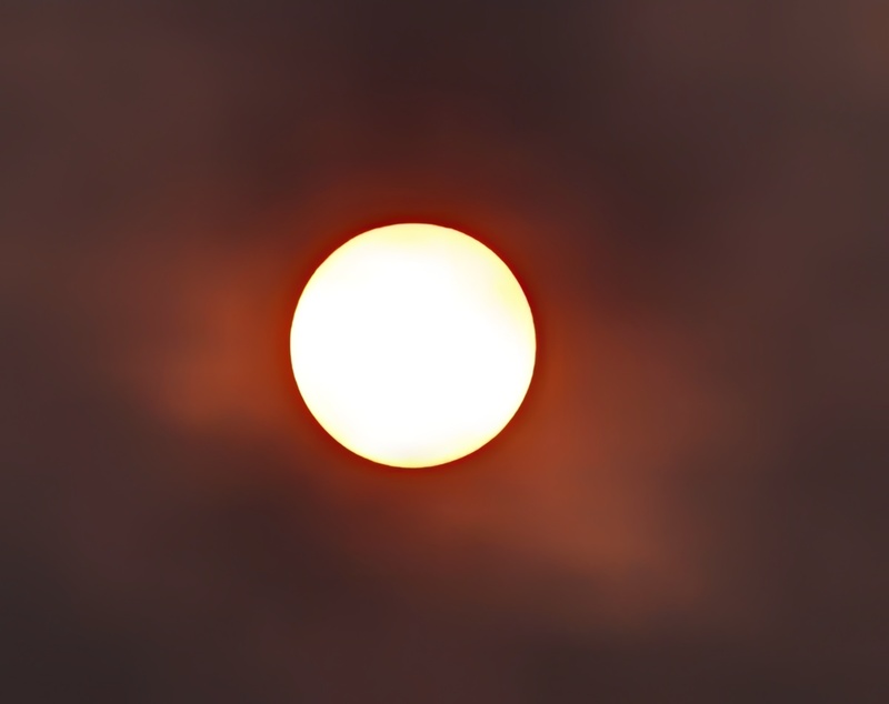
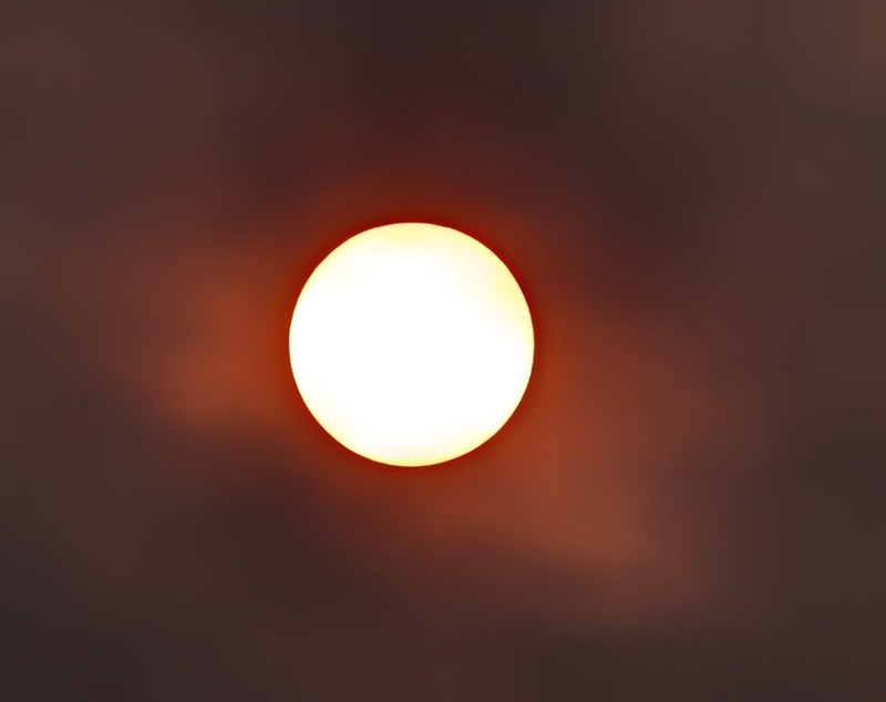
The morning sun through thick wildfire smoke (Montrose)
Thumbnails for uploaded photos (click to open slideshow):
Joel!!! Yes we do! Regina mentioned you & Brad did something crazy. And you did! You guys really hammered out your own route.
Lots of long link-ups up there. Hopefully, we can get out before the "annual BBQ." :o)
Caution: The information contained in this report may not be accurate and should not be the only resource used in preparation for your climb. Failure to have the necessary experience, physical conditioning, supplies or equipment can result in injury or death. 14ers.com and the author(s) of this report provide no warranties, either express or implied, that the information provided is accurate or reliable. By using the information provided, you agree to indemnify and hold harmless 14ers.com and the report author(s) with respect to any claims and demands against them, including any attorney fees and expenses. Please read the 14ers.com Safety and Disclaimer pages for more information.
Please respect private property: 14ers.com supports the rights of private landowners to determine how and by whom their land will be used. In Colorado, it is your responsibility to determine if land is private and to obtain the appropriate permission before entering the property.