
| Report Type | Full |
| Peak(s) |
Mt. Eolus - 14,087 feet North Eolus - 14,042 feet Jupiter Mountain - 13,838 feet Grizzly Peak - 13,700 feet McCauley Peak - 13,555 feet Hope Mountain - 13,020 feet Peak Eleven - 13,530 feet |
| Date Posted | 07/20/2026 |
| Date Climbed | 07/01/2026 |
| Author | ClimbingCooney3G |
| Additional Members | 5ClimbingCooneys |
| Pristine Chicago |
|---|
|
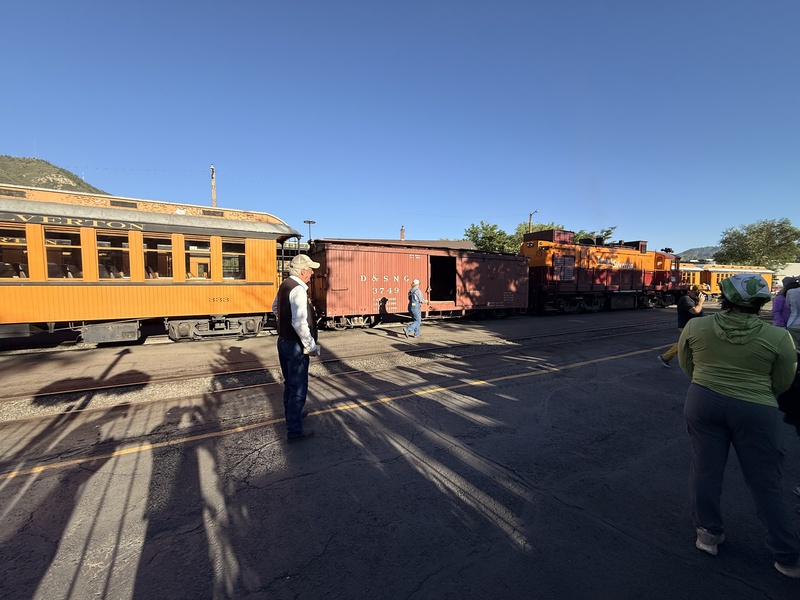
Intro and Preparation: Growing up I’d always hear about the Weminuche from other climbers in my family. It sounded dangerous and extreme to say the least. But the thrill and adventure kept sounding more and more enticing as I grew older and developed into a capable climber. So here in the summer of 2026 at the start of July I got a chance to go back there and see what it was all about. Still being a young climber and having a goal of climbing all CO 14ers, I was hoping to get the Windom group even though we weren’t making the trip back there for that. My Dad (5Climbing Cooneys) was working towards the goal of the top 100 peaks in CO. That meant Jupiter Mountain was the top priority for the trip and 13ers Grizzly and McCauley were also high on the list of “to climbs.” Even though there was a low chance that we’d bag any of the 14ers I still wanted to come. I’ve always really enjoyed climbing and getting out there no matter what the objective was. And of course I wanted to support my Dad as well, and it's always a good idea to have another person when back in the Wemi. This was going to be my first backpack and it wasn’t exactly a small one. We’d most likely be there for 4 days, maybe 5. After goodbyes to family we left for Durango on Tuesday the 30th. The smoke was thick and heavy as we drove away from home and it was a depressing way to start the trip. Just a warning, if you are driving over Red Mountain, Molas, and Coal Bank pass anytime near dusk keep your eyes peeled for deer and elk displaced by the fires. We saw maybe over 100 deer and elk as we drove through. We’d estimated it to an average of 1 animal per mile or two. Drive safe. Day 1: Train and Pack-In Didn’t have to wake up too early to catch the Durango-Silverton train that day. Got to the station with plenty of time to spare. (Pic1) 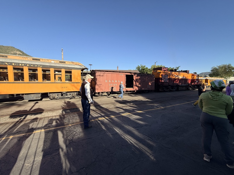
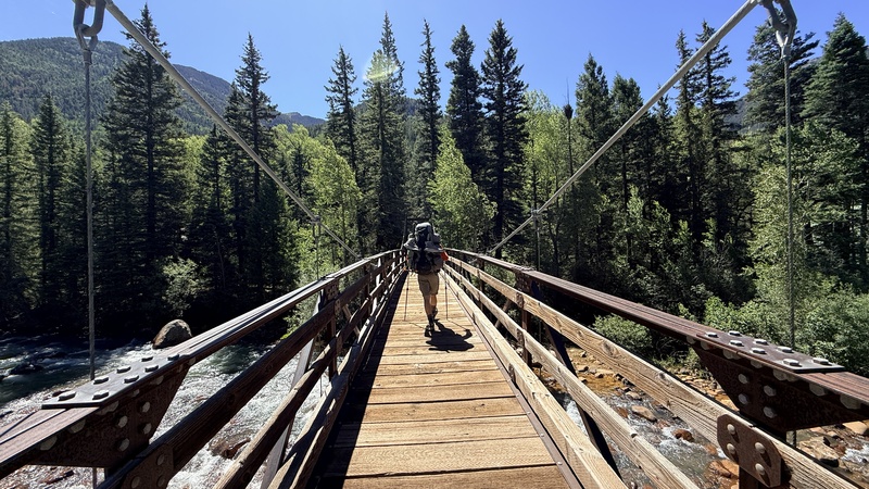
One tip though, try to restrain yourself from being one of the first to hand your pack over to the baggage man because you’ll be waiting awhile at the needleton stop. The train ride, while long, provides great views of the Animas river and surrounding areas. But it was sad to see how sucked dry everything was, even though the river wasn't much below its full height at this time of year. Even the trees seemed much duller than normal. Curse the dry winter! At the needleton stop, the train abandons you in the wilderness at 10:35am. Stare and watch the train chug away and wonder, exactly what you got yourself into. Once we’d gathered our packs and crossed the bridge to Needleton it was about 10:40. (Pic2) 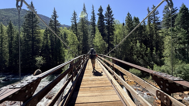
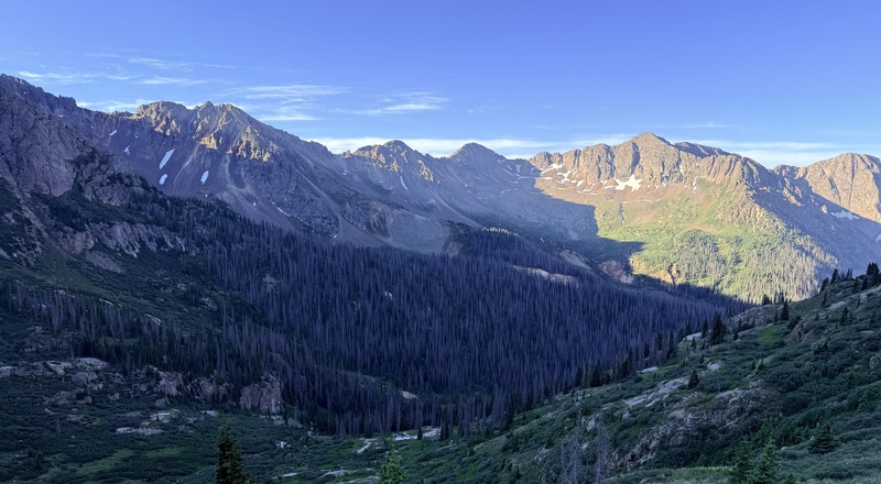
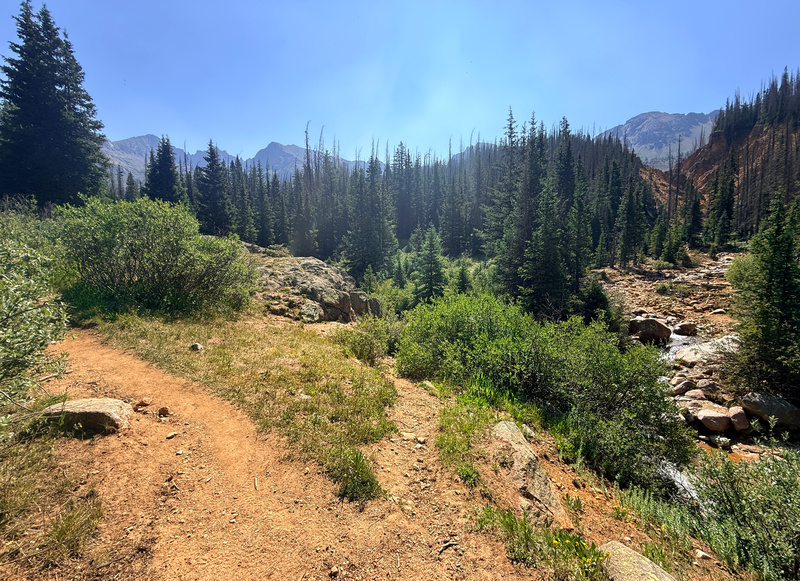
We were in the first group to leave civilization for good, but filled with newbie fever I barely noticed and took off for Chicago basin at a fast pace, my 37lb bulky pack seeming like it weighed no more than a daypack. The first 0.8 miles of the trip blew by and we checked in and officially committed ourselves to the mercy of the Weminuche. The trail is not particularly difficult, it's 2800 vertical and 6.5ish miles to where most people camp. But we of course had to go about an extra mile and 600 more vertical feet to our planned camp at 11,600 in what we took to calling Jupiter basin, where, hence the name, we could access Jupiter, Grizzly and McCauley better. Our camp was approximately 0.9 miles up the Columbine pass trail though we did not take this route up to it. We left the needle creek trail 5.5 miles up from Needleton and followed an old mining road winding around the edge of a reddish orange colored gorge. (Pic3) 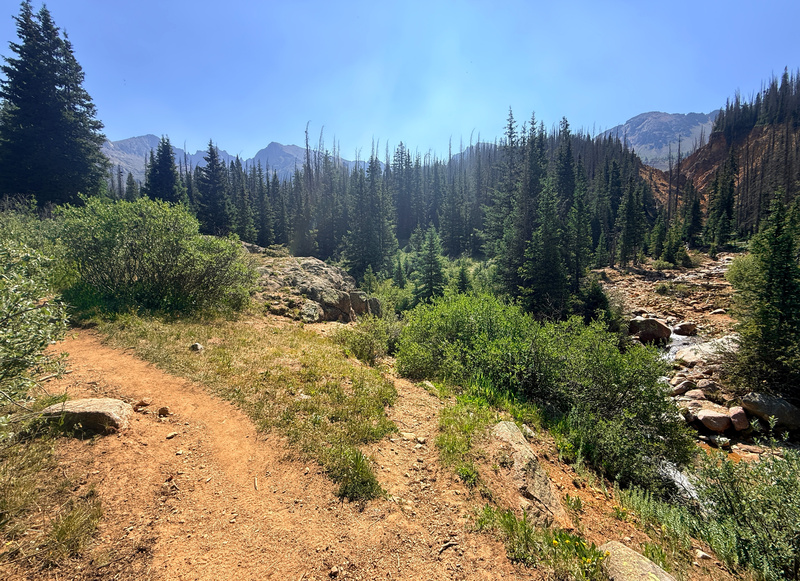
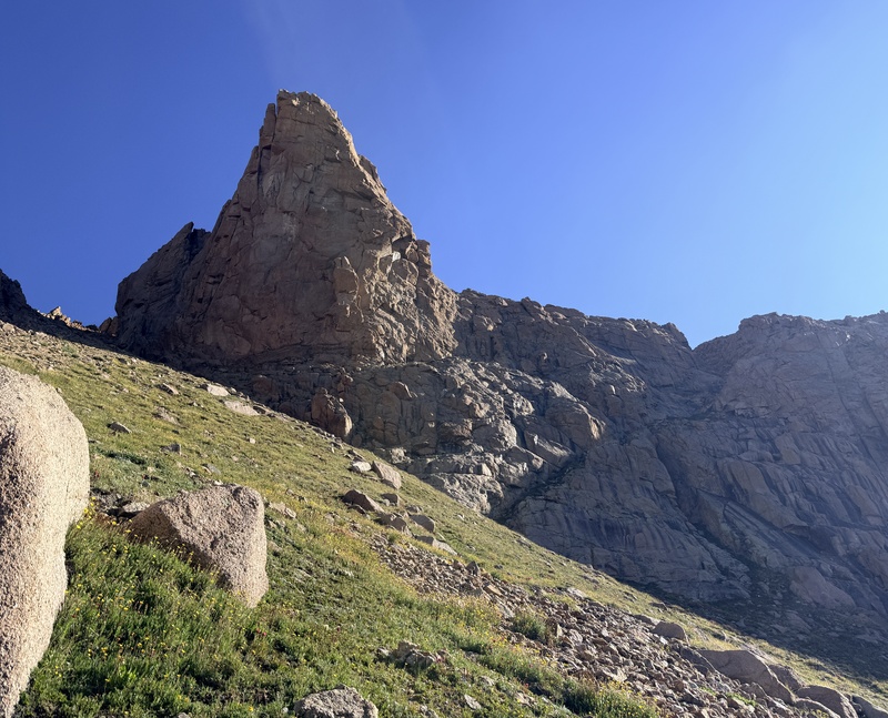
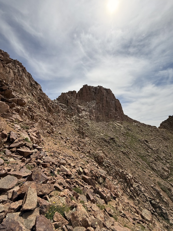
Jerry Roach mentions this way as a route in his 13ers book. It was in fairly decent condition even considering that it looked like it was barely used. There were a few logs we had to struggle over but it was relatively easy going. There were many offshoots on the road but as long as you stay close to the edge of the gorge you’ll be fine. There are actually a few decent campsites where we camped and we even briefly considered tagging Jupiter but quickly abandoned the idea and decided to enjoy camp life as much as possible when eating slop for dinner :-/ Day 2: Jupiter and Peak Eleven Attempt Day two didn’t exactly start off as planned, nor did it go as planned. We didn’t rise until after 6:00 and weren’t starting up Jupiter’s Southwest slopes until after 7:00. Oh well, what's one late start on your first day out of a planned four am I right? In response, we were totally wrong. Anyway we ascended the Southwest slopes and at some points, the ridge of Jupiter. A trail took off from our camp at 11,600 directly across the creek and almost exactly east from our camp in “Jupiter Basin.” The trail was easy to follow below tree line but as soon as we broke through to the tundra and willows it began to fade in and out but was still followable. After the first major switchback, we made the decision to ascend the whoppingly steep tundra to the right, and looking back we realised the trail ascends closer to the SW ridge. It was a minor error though we were soon back on the trail. It keeps you snug up against the ridge for a while and as you begin to lose the tundra there are some small snow fields, but they were small and posed no major obstruction. From there its class 2 rocks to the false summit. The summit block from the false summit looks impressive and demanding. (Pic4) 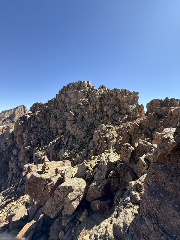
We made our way over the ridge and around the left (west) side of the summit. The climb in and of itself is not hard and sticks to class 2+ maybe easy class 3. The rock is good rock compared to most Co mountain standards but still be careful as this is the Weminuche and loose rocks are still a possibility. After the exhilarating short climbing of the Jupiter summit block the plan was to head over and get Grizzly and McCauley via the descent route in Garret and Martin’s book. The plan was to head down the ridge until it flattened out and tundra became a thing again then descend the couloir. We did all this and, of course, there's a deep cornice maybe two-three feet deep and spanning the whole entrance to the couloir. It looked like it was going to be there for a few weeks. (Pic5) 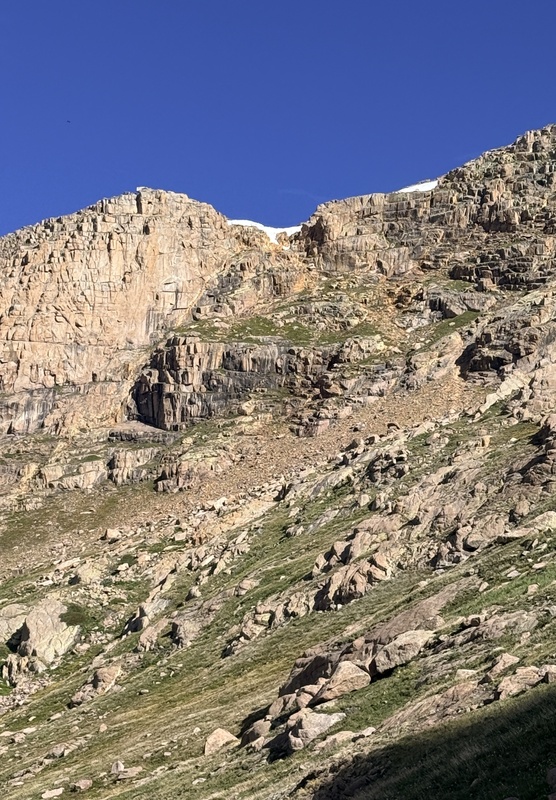
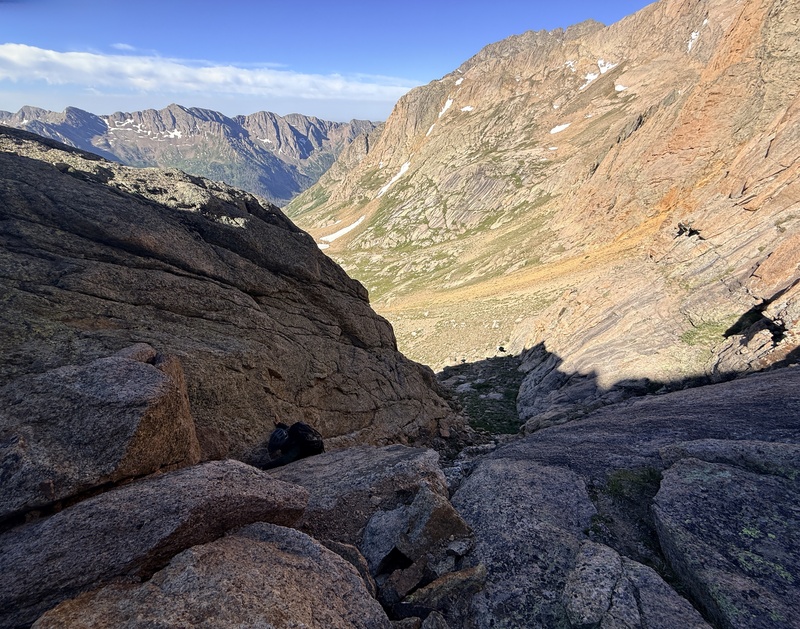
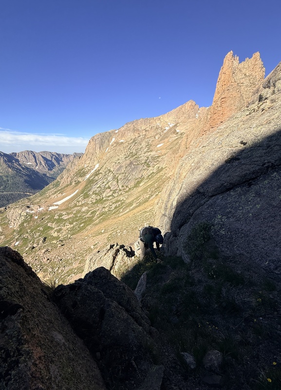
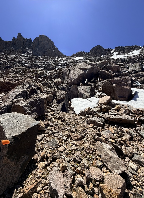
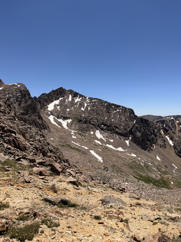
Viewing from slopes up to Grizzly There was snow, in July, on a mostly south facing gully, in one of the driest years in Co history. Dang it! The Irony was almost too much to bear. So there went the plan for the day. We sat there twiddling our thumbs trying to decide what to do next. We could explore further down the ridge and see if we could find and way down. There is one report of a person doing this, but there was a gnarly cliff in the ridge and he was an ultra runner. And if you're one of those then you're super human. So yeah, not stoked about that. Aztec Peak was an option but it was far away and we knew little about the route. Not much better there. We debated heading back to camp? No. Boring. What kind of climber would want to head back to camp at 10:00 in the morning? Last option Peak Eleven. Long story short this is what we went with. We slogged back up to the low point in the ridge between the summit and false summits of Jupiter and began our descent down the gully towards Peak 18 and Windom. The upper part is scree and trash but there are firm rock slabs near the bottom. (Pic6) 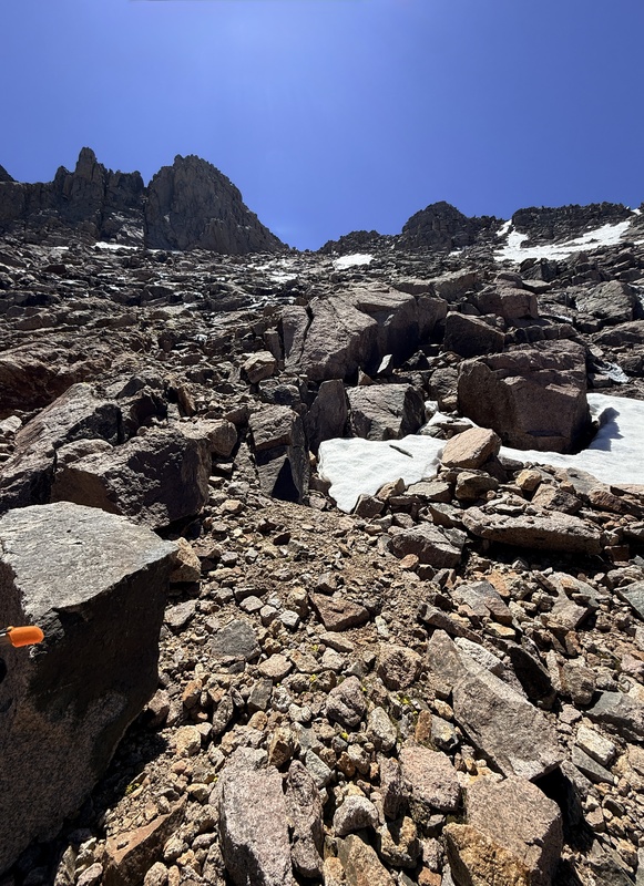
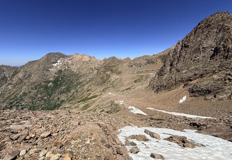
Word of caution however there was a fair amount of water and even ice in this Gully/Chute so tread carefully. Crossing the small basin to the Peak 18-Windom saddle was a simple hike across boulders and tundra and the climb to the saddle isn’t bad either. (Pic7-8) 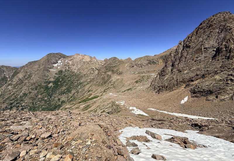
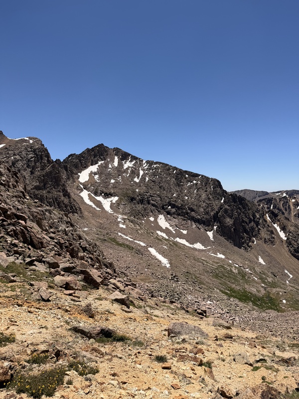
It was there that we ran into snow. Again. Why? Thankfully upon closer observation there was a way to bypass the snow in the gully down to upper Chicago basin to the left. By the bottom of the gully it was getting late. It was this that led to our undoing. We began to look for a way to cut above twin lakes onto Peak Eleven faster, save elevation drop right? No. We spent too much time trying to figure it out that when we eventually gave up and hiked down to twin lakes it was too late. We would be getting back to camp later than we wanted. (Pic9) 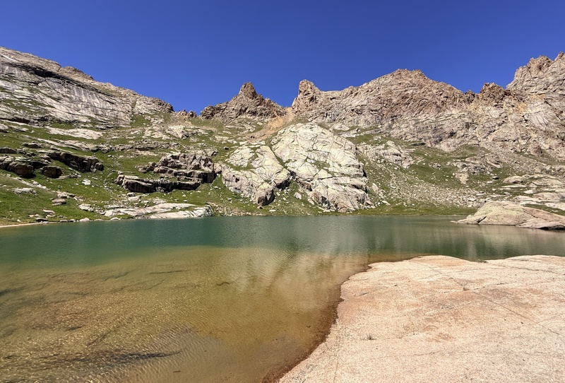
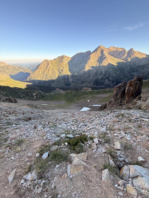
Utterly defeated and with the sting of failure we descended from twin lakes until we intersected the Columbine pass trail and followed it back to camp. The pain of defeat didn’t last long however, and we began making plans to return… to Peak Eleven. Note this route would be helpful though if anyone wished to access upper chicago basin from Jupiter or vice versa. Day 3: Grizzly, McCauley and Hope We got a much earlier start than day one and had started up the Columbine Pass trail by 6:10. That was the plan, up and over Columbine Pass then a stroll to Hazel lake where Grizzly, Jupiter, and MCCauley towered above. The trail was in good condition though it did get a little loose and steep at the top. (Pic10) 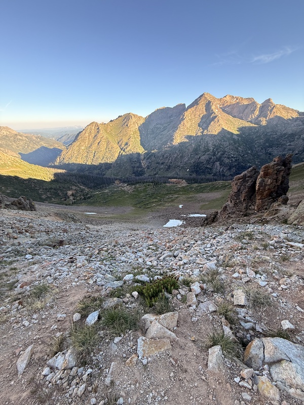
From the top of the pass we walked east down to the first switchback where there is a trail (Pic11) 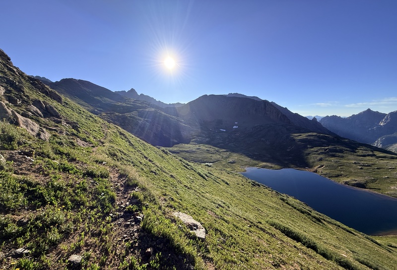
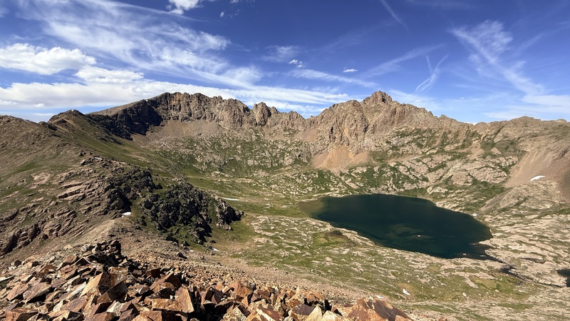
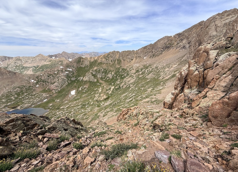
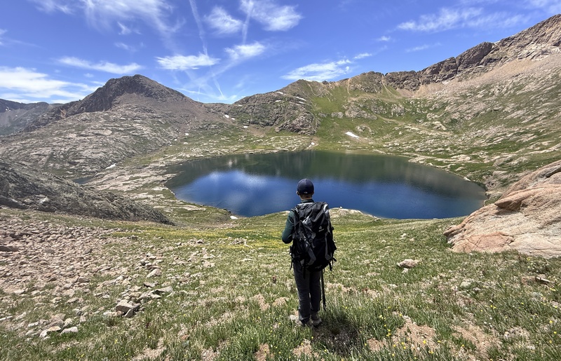
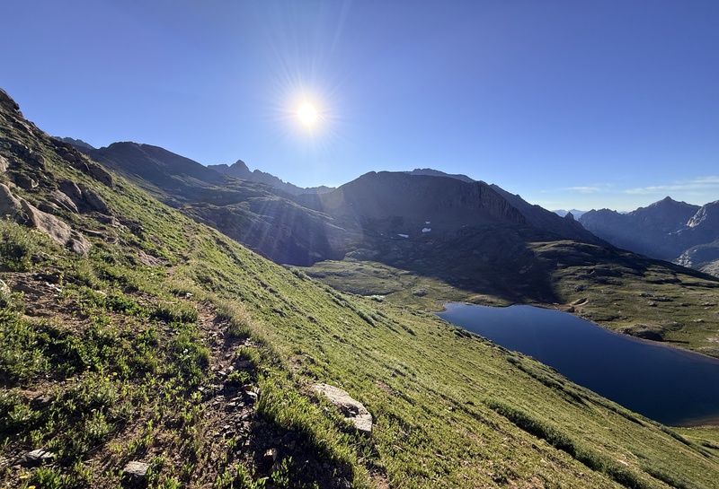
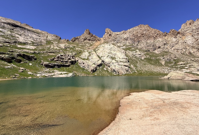
Hope Mtn is in the background that traverses above Columbine Lake and ends at a smaller unnamed lake where the trail peters out. From there we continued due east aiming for the Hope mtn saddle. Reaching it was easy enough we just made sure not to drop too low. From the Hope mtn saddle the view is stunning to say the least. Hazel lake is massive, think of twin lakes combined together plus a little extra. It truly is impressive in scale for a high alpine lake. Grizzly and McCauley tower above it creating a remarkable reflection in the early morning sun. After absorbing the view we found a rough trail descending to the lake, followed it and started up the tundra for Grizzly. We debated staying high and traversing around but the terrain said otherwise. And from yesterday's mistakes, quick decision making was a priority in our minds. The tundra up to grizzly is thick and steep then to add onto it the last 80-100 feet or so is talus. (Pic12) 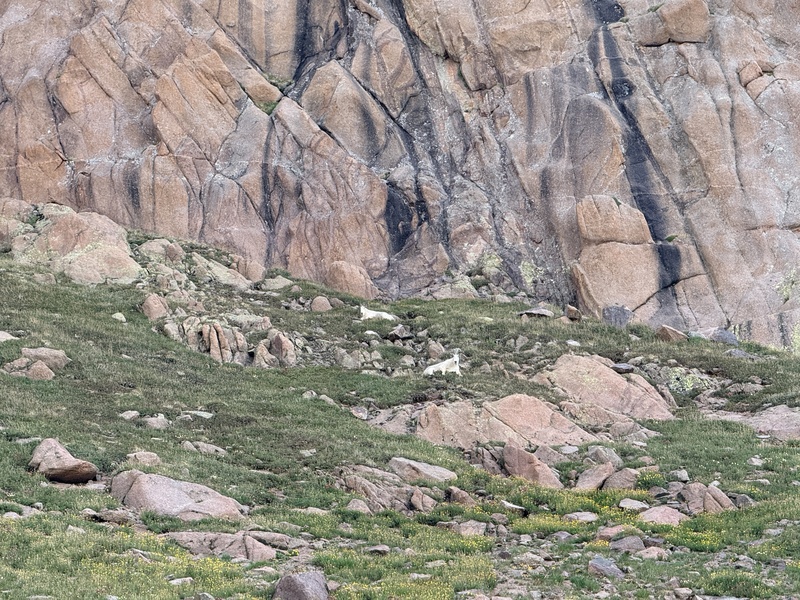
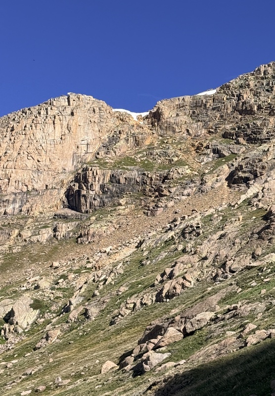
By now we had spotted the ramp up the first part of Grizzly. It starts just below 13200 on the topo maps and is class three on relatively solid rock for the first few moves. (Pic13) 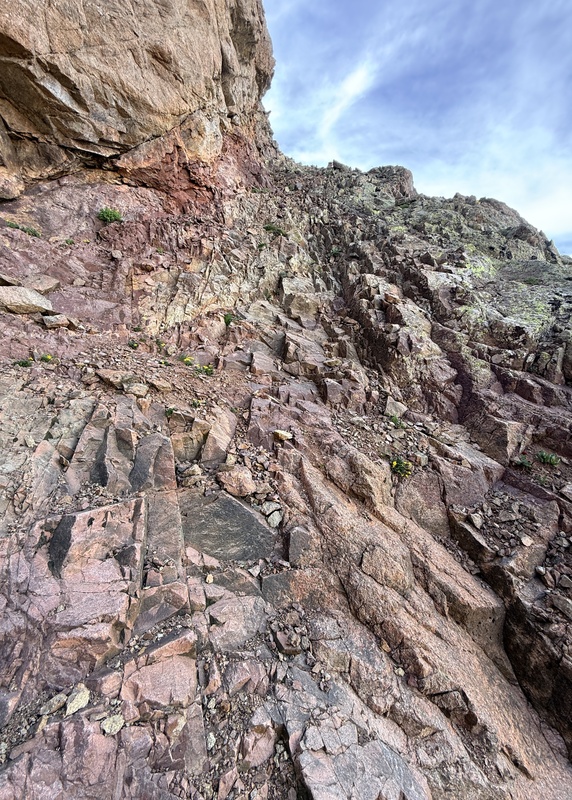
After that it transitions to class two but the rock becomes crud, decomposing granite and gravel on top of firm but still movable rock. Yippee. The one saving grace was that there were occasional tundra patches you could hop onto. The route is fairly easy to follow as there are several cairns and, you know, there's only one way you can go. (Pic14-15) 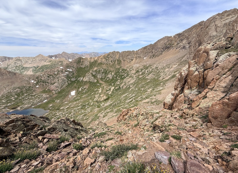
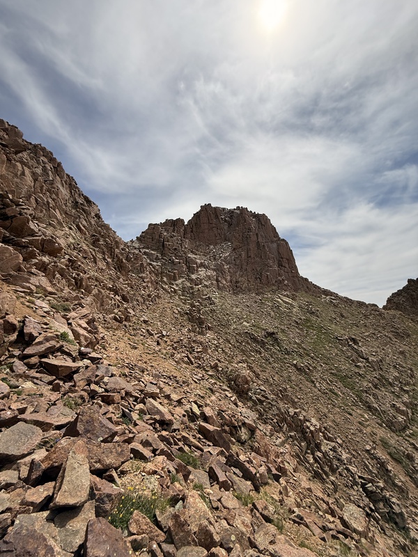
Slightly above 13400 the ramp part ends and we traversed along the side of Grizzly for a short while until we turned sharply left and went up a gully and reached the ridge. There we ditched the packs, (Praying for no marmots to find them) to enjoy the climb more. We traversed along the north face until we found a class three cleft where we could ascend to the summit. (Pic16) 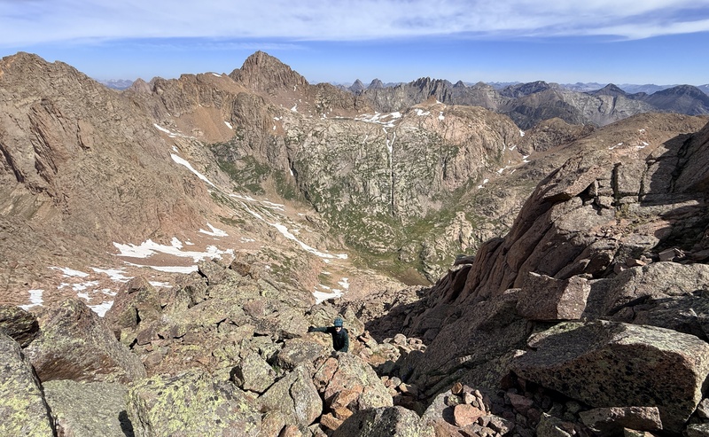
Snow was not much of a problem though there were a few minor fields. The western most bump is the summit. From there we began the tedious process of descending from Grizzly though it was easter than we made it out to be. From the bottom of the ramp we dropped to about 12600 and started up the tundra to McCauley. The tundra as we climbed higher became dangerously steep as we side hilled up it because of the decomposing granite base, though it really wasn’t too much of a problem. In short McCauley is just a slog up boulders with a few class two plus moves. It wasn’t where our expectations of it were at. The route takes you along the climbers right of the ridge until you turn left and climb up to the summit. (Pic17) 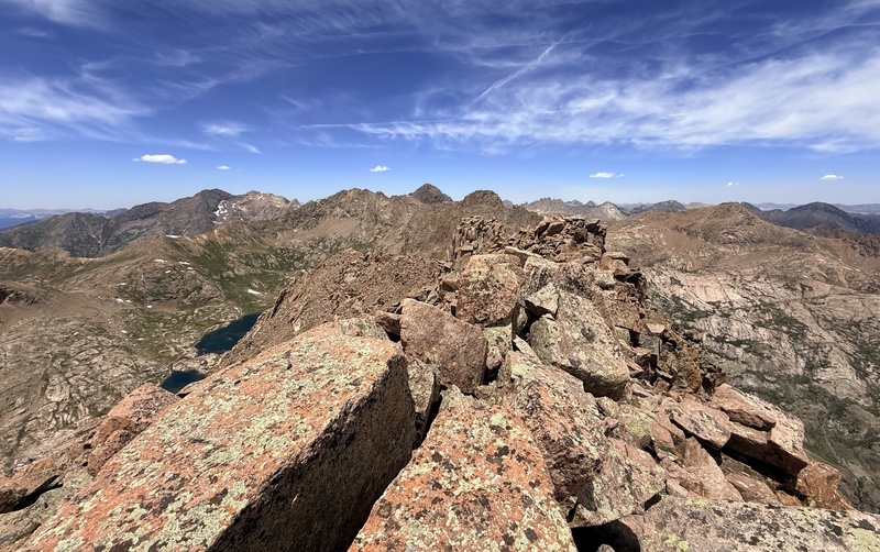
After McCauley, an hour at Hazel lake sounded real nice. We are decently fast hikers and since our camp wasn’t all the way down in Chicago basin and since our camp was buggy, the lake was a welcome diversion. (Pic18) 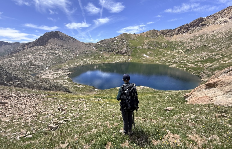
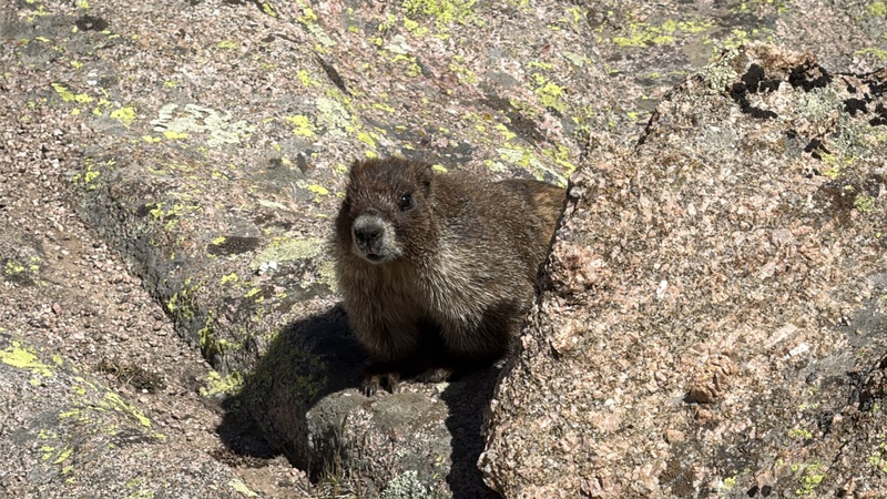
After a visit from a friendly marmot (Pic19) 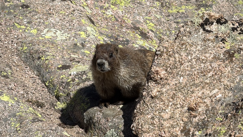
and many, many fish (literally should have brought a rod) we scampered up to the Hope saddle. Since Hope mtn was right there we tagged it. It took us seven minutes to ascend and less to descend plus summit time. (Pic20) 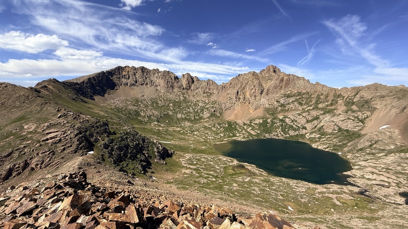
Woo Hoo new record! From there it was a pleasant hike down to camp where the daily slop rations awaited us. Day 4: Eolus/ North Eolus and the Return of Peak Eleven. After careful inventory of food the previous evening we deemed it was possible to stay another night. Our morning was similar to the past one. We were hiking down the Columbine trail this time by 6:15 and had reached twin lakes by 7:30ish. (Pic21-22) 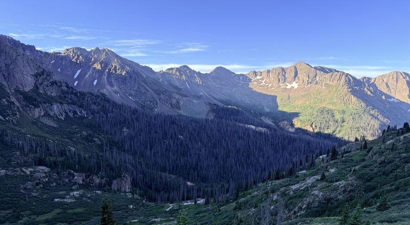
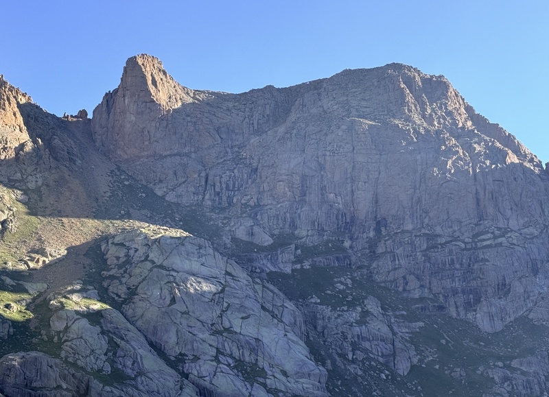
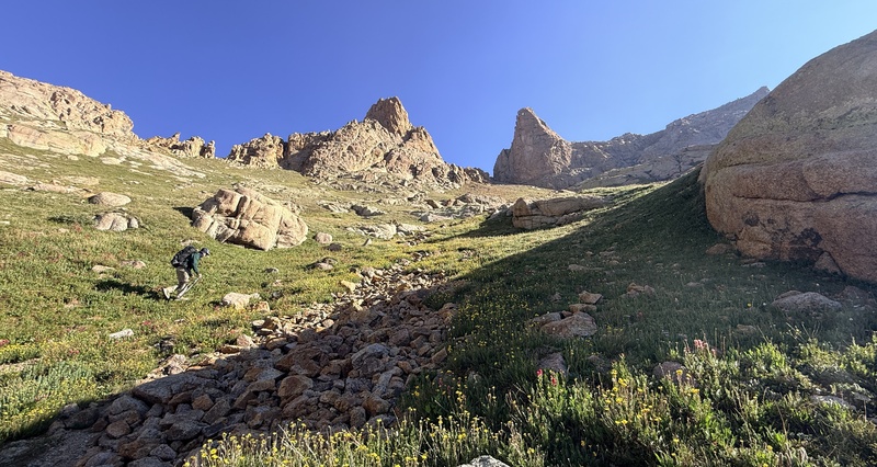
There Peak Eleven sat, silently mocking us. We would not be deterred. The tundra up Eleven is steep and thick then it eventually gives way to loose gravel. (Pic23) 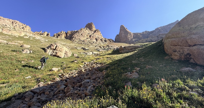
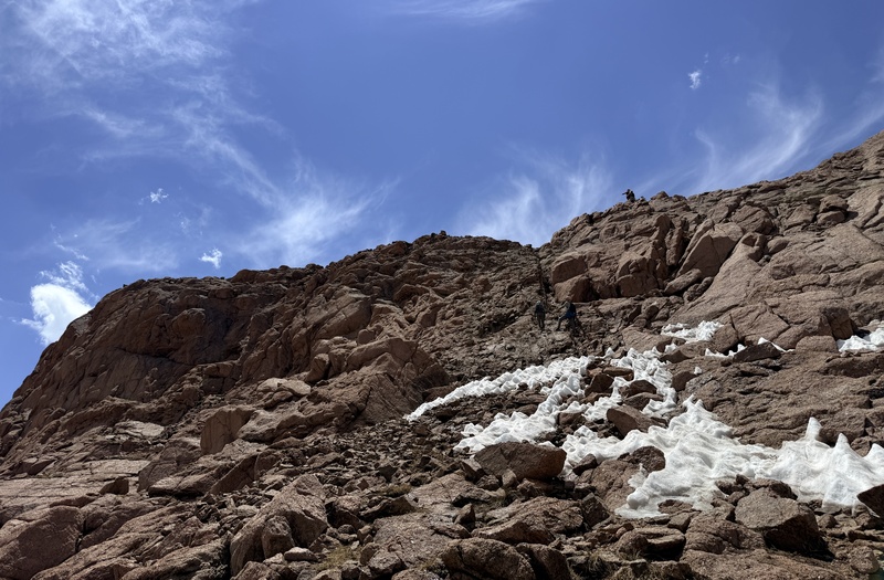
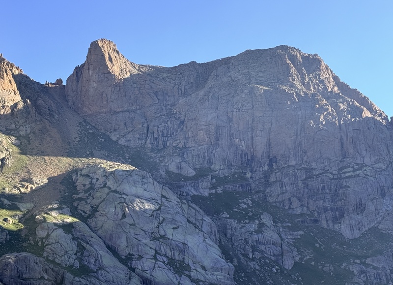
In no time at all we had reached the ramp at the base of the cliffs that other users have reported going up. But we had also researched the peak onClimb13ers.com and it described another way up. It explained how if you continued up the gully east of the two twin thumbs and west of the prominent false summit that you could do a class three scramble around the backside of Peak Eleven and follow the ridge to the summit. After careful consideration we decided to go up the users route and down the backside. On our approach to Eleven we identified two ramps up Eleven. The lower is the correct route even though it looks worse. (Pic24-25) 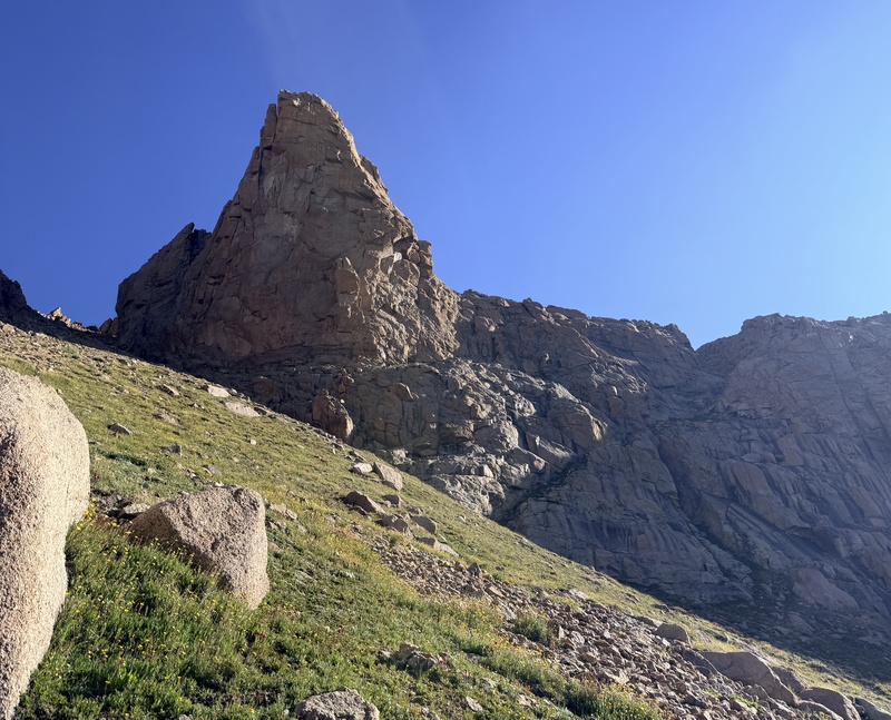
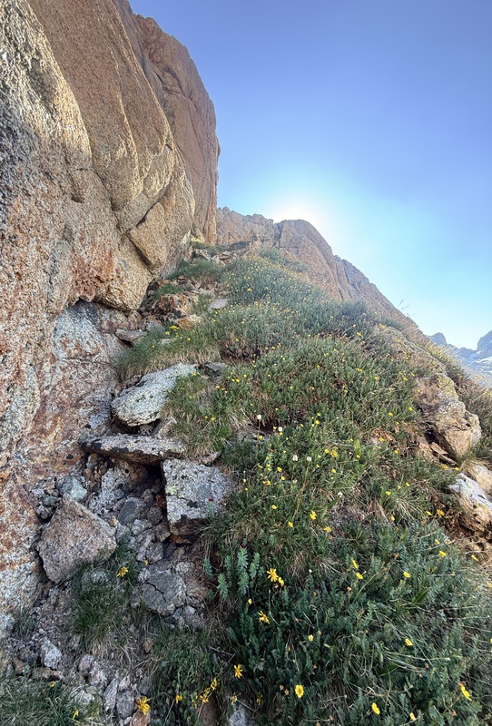
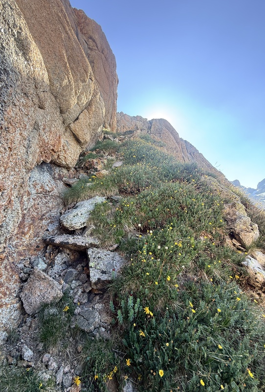
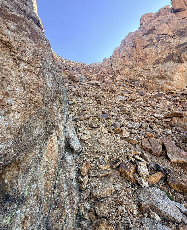
Side Note: This whole cirrut on 11 looks daunting but really goes easier than you ever think and makes for a great climb.Continuing on, you get cliffed out on the upper ramp and it become apparent as you ascend that the lower ramp is the correct route. The start of the ramp is only about 3-5 feet wide but doesn’t feel as exposed as it looks. As we made our way up the ramp it stayed steadily at class 2+. Once we reached a larger, wider portion of the ramp (Pic26) 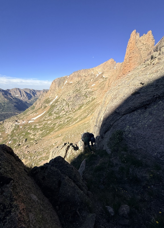
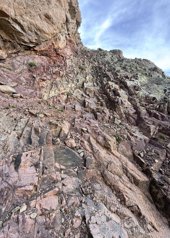
we got our first real look at the crux of the route. Like many people describe it, the crux is more awkward than hard. You start by a class three scramble up solid rock with looser, more gravely rock on top. Next we began the crux. It is an overhanging rock with a solid wall on the other side and a chock stone that seems a little iffy. I ended up doing more of a stem move and not placing my full weight on the chockstone. The rest seems pretty stable. There was some water in the crux but it wasn’t enough to pose any real danger. (Pic26) 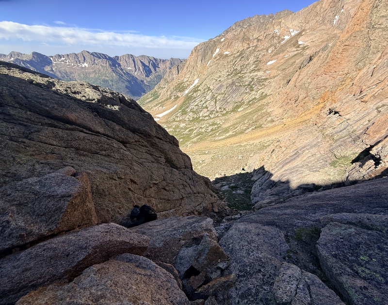
After that we continued up the junk filled red gully to the summit. (Pic27) 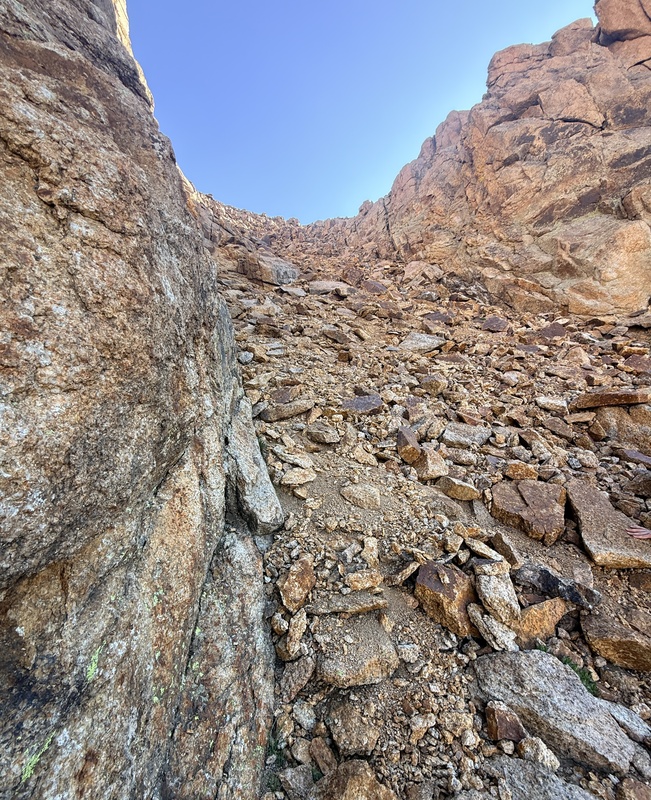
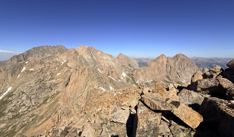
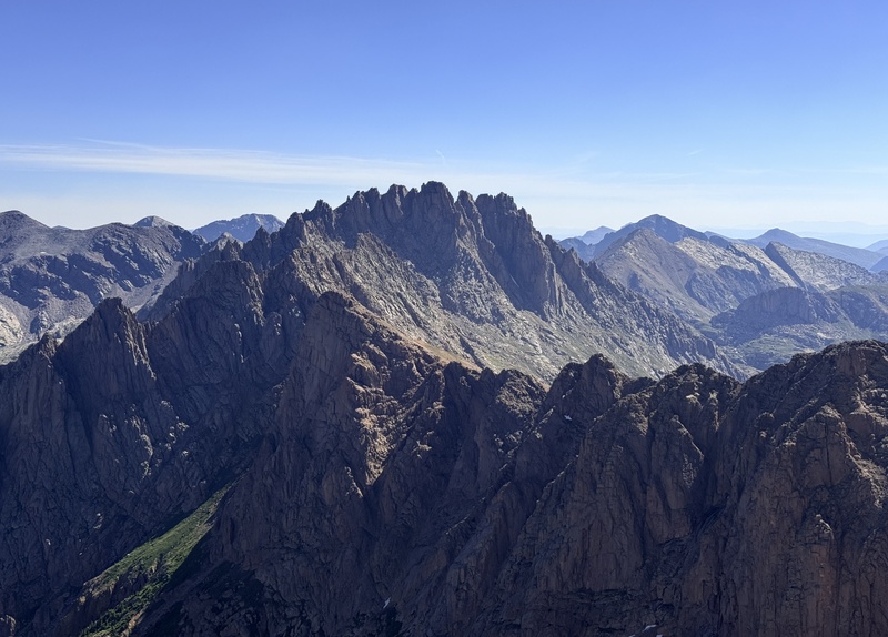
From the summit and some longing looks at Jagged (Pic28) 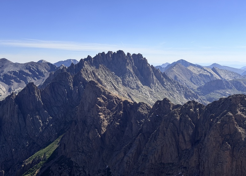
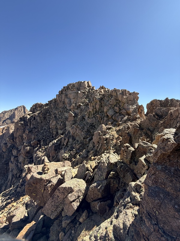
we continued down the ridge to the west and once we reached a large bump in the ridge, turned right. (Pic29) 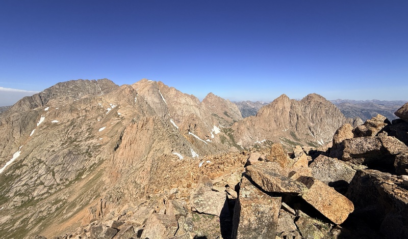
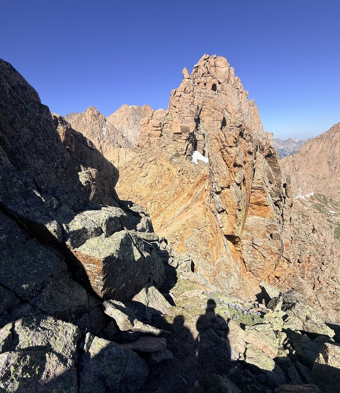
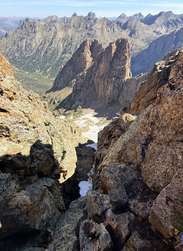
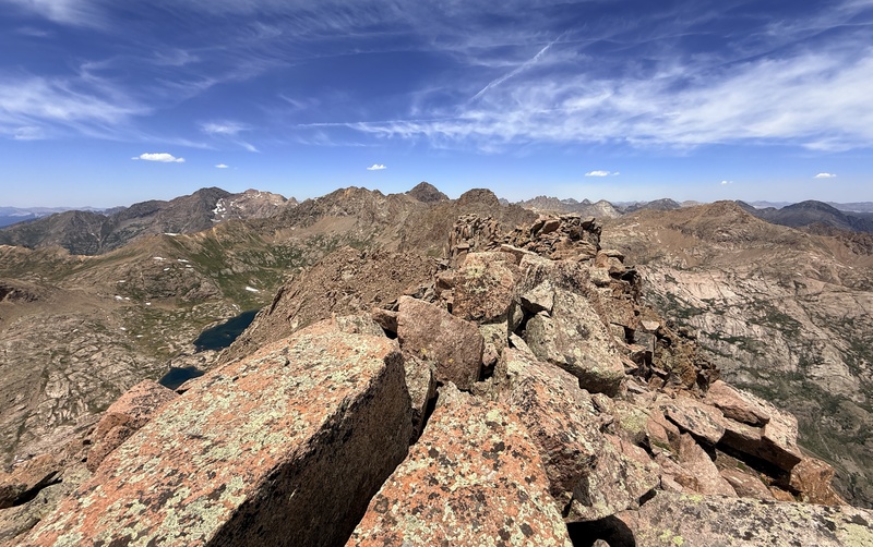
We then made our way slowly around the traverse following a series of ledges (Pic30-31) 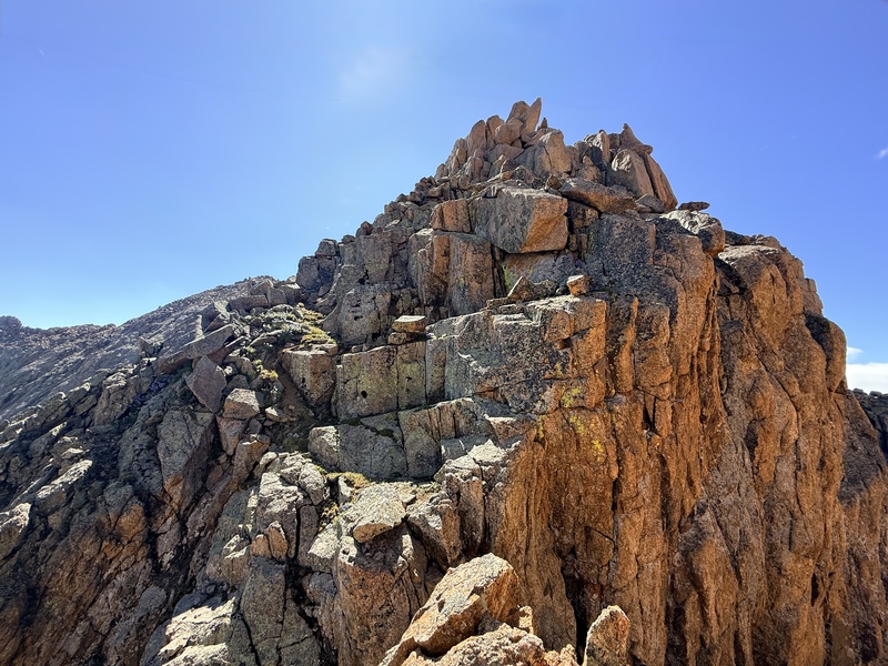
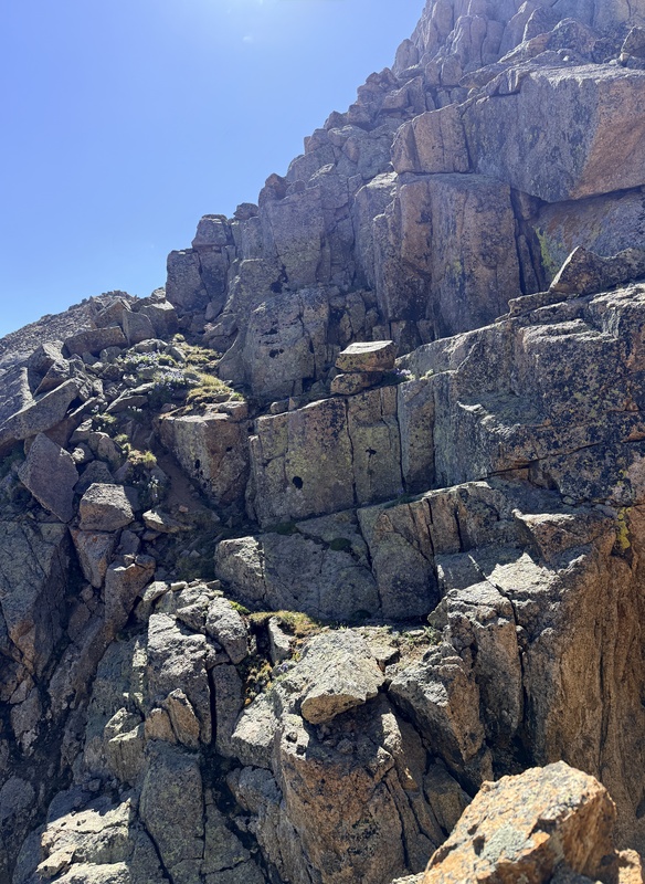
and surprisingly a cairn or two. The final move to the gully was the toughest and even then it wasn’t very difficult. (Pic32-33) 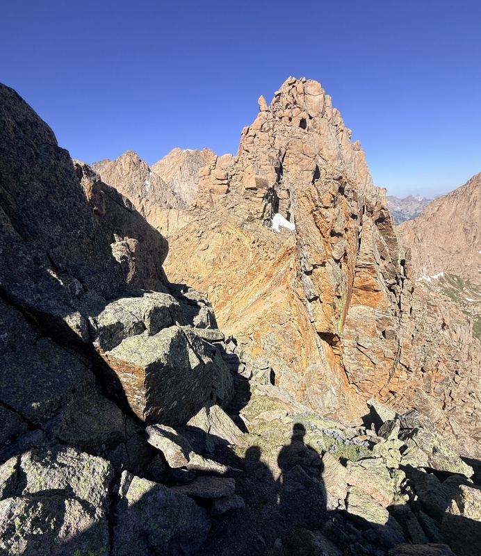
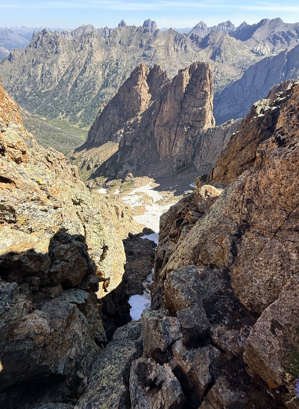
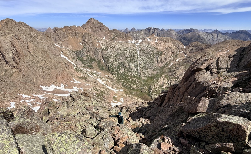
Once in the gully the scree made for a fun and quick descent. Overall I’d rate the back side easier than the standard route and it did seem possible to ascend but is all a matter of personal preference. From just above 12600 we traversed along the tundra until we intersected the Eolus trail. From there it was a grind to the notch before the saddle. (Pic34) 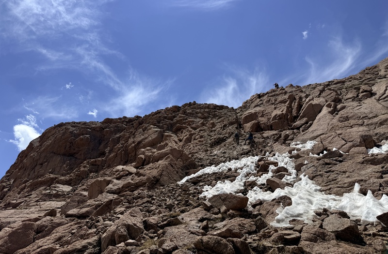
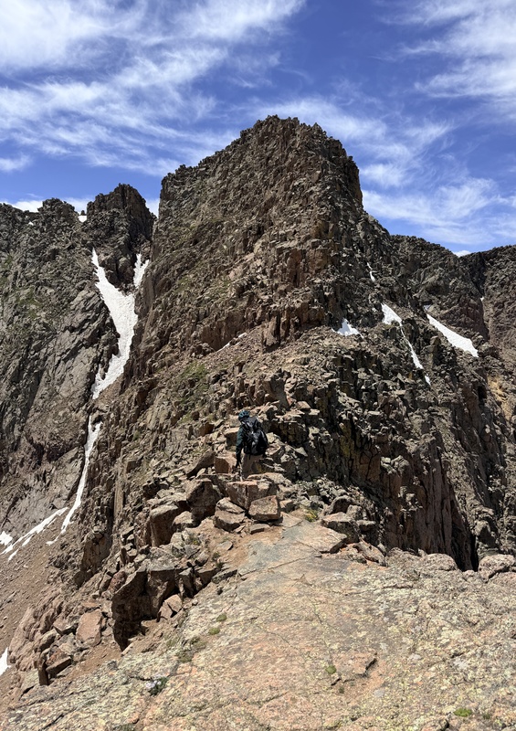
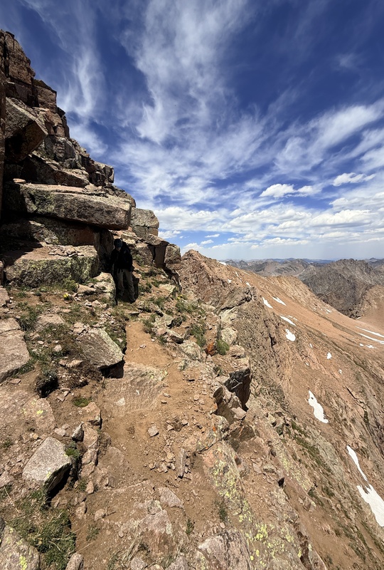
The slabs on the right are definitely the easiest way up but the notch is funner in our opinion. We ditched our axes as we had brought them for Eleven and hoped the marmot army would spare them. We debated leaving our packs since we had forgotten to bring day packs and we were sadly using our backpacking packs but decided against it with the Marmots. North Eolus was a speedy, solid climb of about 200 vertical feet of the solidest rock I'd ever been on when climbing. It didn’t pose much challenge for us but had to keep in mind that this is still very consequential terrain. We were down to the saddle within a few minutes to find that our axes had been spared… at least for the moment. The catwalk in my opinion is easier than everyone says it is, though it can feel a little airy at times when you have to make a move around something. (Pic35) 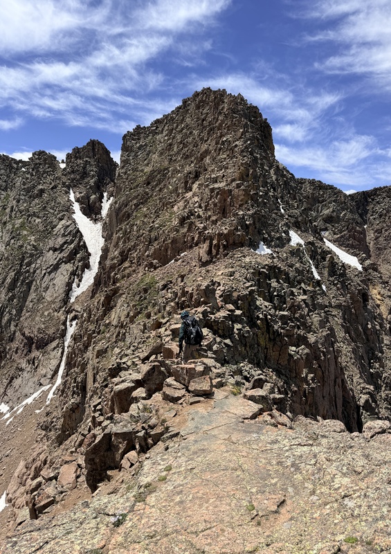
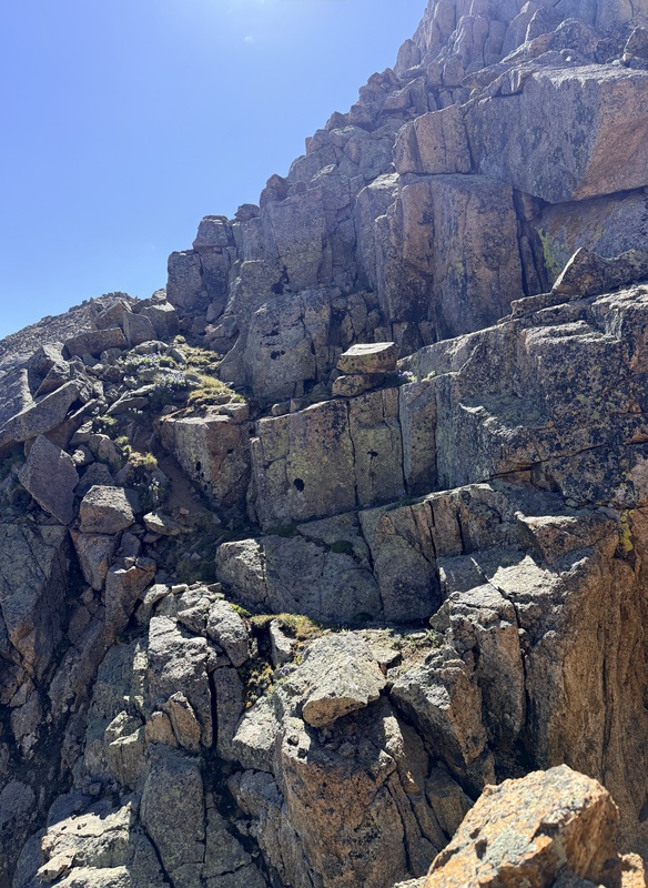
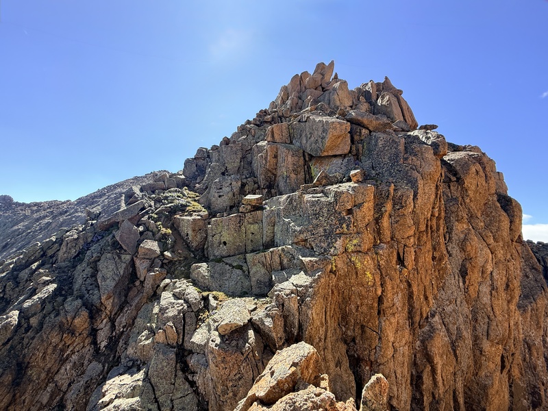
Once you're past that, then the real stuff begins.The next 250 ft is hard class 3 and extremely exposed with hard route finding. We began to follow a series of cairns but then another would begin. There are tracks going almost every which way. (pic36) 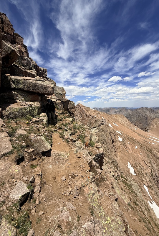
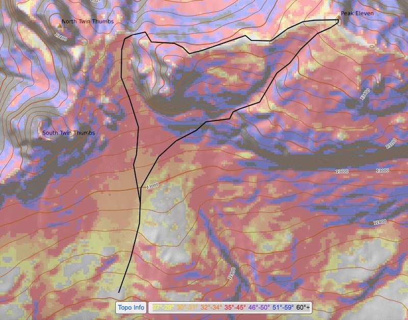
The route we ended up taking put us just below the summit and we felt it worked as well as it could’ve. We were uncomfortable though mostly because of our big packs, would NOT recommend. It was slow going and we tested every rock and handhold but we made it down without too much trouble. On this peak you should be concerned as much with rock fall as your climbing ability. As we were on the summit we heard a large crash and saw people sprinting like heck down in the basin. Rocks. We never saw them but they sounded big. Thankfully everyone was ok. Dang Eolus! We kept our helmets on long after we had exited the upper basin, all the well still mindful of the people still above us on the peak. After that danger was gone we were free to enjoy the hike back to camp and our last climbing day in the Weminuche. Day 5: Pack Out There isn’t much to say about the pack out other than you should be in no rush to catch the train. We left camp at 10:00am and got to Needleton 2 hours before the train was supposed to arrive. It's hot and uncomfortable but a great place to hang out with other backpackers. The trip was great and we had no weather problems whatsoever. We even got away from the smoke for most of the trip. Overall a great experience that will always be remembered. Note: Sorry I forgot to gpx parts of this trip so to make up for it I drew up maps of the important parts of the trip on Caltopo with slope angle shading on. Hopefully they are useful. :-) Drawn route of Peak Eleven 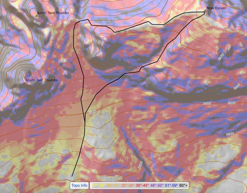
Thumbnails for uploaded photos (click to open slideshow): 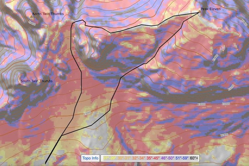
|
| Comments or Questions | ||||||
|---|---|---|---|---|---|---|
|
Caution: The information contained in this report may not be accurate and should not be the only resource used in preparation for your climb. Failure to have the necessary experience, physical conditioning, supplies or equipment can result in injury or death. 14ers.com and the author(s) of this report provide no warranties, either express or implied, that the information provided is accurate or reliable. By using the information provided, you agree to indemnify and hold harmless 14ers.com and the report author(s) with respect to any claims and demands against them, including any attorney fees and expenses. Please read the 14ers.com Safety and Disclaimer pages for more information.
Please respect private property: 14ers.com supports the rights of private landowners to determine how and by whom their land will be used. In Colorado, it is your responsibility to determine if land is private and to obtain the appropriate permission before entering the property.



