| Report Type | Full |
| Peak(s) |
Mt. Oklahoma - 13,843 feet |
| Date Posted | 07/04/2026 |
| Date Climbed | 06/20/2026 |
| Author | hellmanm |
| Additional Members | HikesInGeologicTime |
| Oklahoma South Ridge via North Fork Lake Creek |
|---|
|
This was a bit of an odd route, but one that I think should be considered as a viable alternative to Oklahoma's standard SE Slopes for those of us who lack 4WD. Though the standard is 7.25 miles and 3400', a true 2wd start will add over 5 miles of road walking! This route has pretty similar mileage/elevation gain (slightly more --> about 12.75ish and 4,000'), and you're guaranteed not to see another soul once you pass the saddle midway through the route. You'll use a somewhat popular TH, but it's not close to as much of a zoo as the trailhead(s) used to access Oklahoma's standard. This particular route featured around half a dozen people all day. 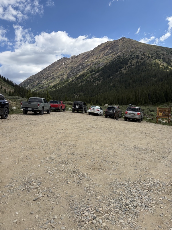
Ok, on to the meat and potatoes of this one. Drive to the North Fork Lake Creek TH. Any old car can make it, and the TH is less than .1 miles off of highway 82. You barely have time to lose cell service. Geo (HikesInGeolgicTime) agreed to accompany me on this ridiculous exploration. They had just returned from the east coast, hiked Bierstadt the day before, and somehow found the legs to go wander through the wilderness for a while. We had been meaning to hike together for several years, so why not onsite a random unnamed set of trails/ridges in the wilderness? This route has had segments documented in parts across the internet, but never fully, and we set out at the ideal hour of 10AM to begin our hike. Yep, you heard that right. Haters can hate, but I LOVE starting late. I have a vicious set of sleep disorders, and I've only got a few wtf-o'clock starts in me each year. It's just not as fun (and definitely not as safe) hiking on 0-3 hours of sleep, and after tempting fate for years, I'm really trying to minimize risk and maximize the fun-suffering ratio of each summit. Anyway, when you arrive at the TH, follow a small trail north for a while. There's a huge boulder, at which point most French/Casco/Frasco hikers (as well as the Lackawanna ones) should take a right and head towards a creek crossing. Not us, though. We stayed on this trail as it headed gently into a very large basin. Even in June, lots of plants and wildflowers kept us company for a long time. The trail, though vegetated and not really cairned, is well-trodden and easy to follow in daylight. I found an old GPX from a Mt. Champion/Deer linkup that we were essentially reversing to begin. There are a few minor creek crossings, but even in heavier snow years these won't present major obstacles. In a year like this, it was a small rock hop. 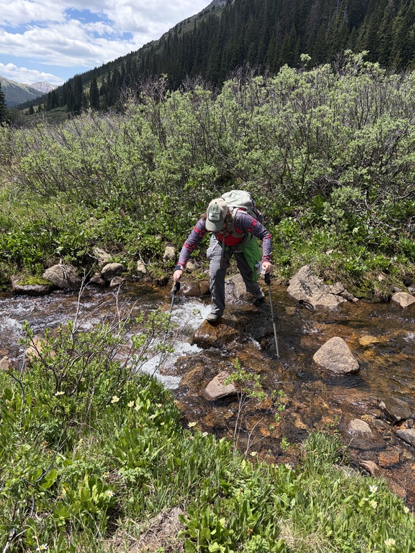
Eventually, you take a right at a junction and reach a rather wet area. The route climbs a bit, but to this point, you haven't gained a ton of elevation. Follow spongy (odd word to describe grass and dirt, but, alas, it was accurate this day) terrain in a meadow to reach a short, steeper trail climb. This will take you to an unnamed lake, after which a short saddle lies just beyond. 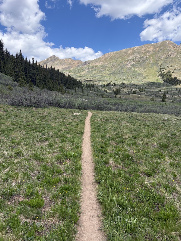
To this point, we had been successfully meandering, but Geo's flatland readjustment and post-summit fatigue was starting to catch up. We chilled at the lake for a bit as we decided if we wanted to press on. My adductor was a bit sore (still) from last week on Thunder Pyramid, it was windy, and most signs pointed toward bailing. But, it was a bluebird forecast, and we truly had all day if necessary. Pre-hike, we had floated the idea of splitting up here if either of us wasn't feeling it, and so we discussed that as an option as well. 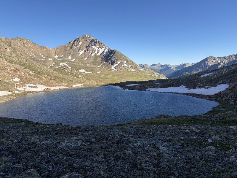
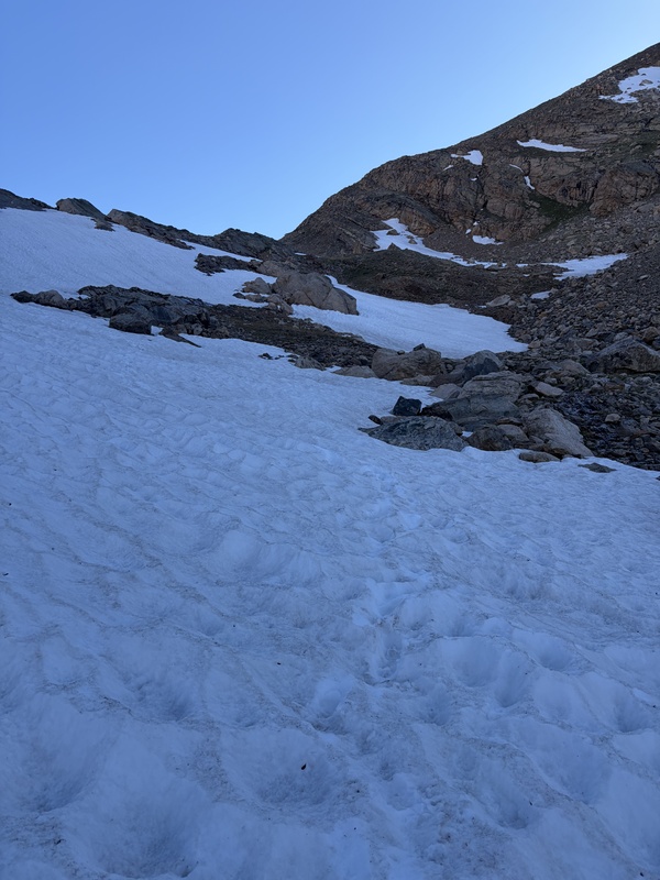
I'm not usually a fan of splitting, but that was the vote that won the day. Geo and I both felt safe, and the entire route in both directions was visible from the saddle. Now solo, I turned my GPX tracking on and headed onward. NOTE: I'm going to try and attach a GPX file. Because it starts just below the saddle descent, the mileage/vert isn't accurate (since the initial 15-1600ish of elevation gain over 4ish miles isn't accounted for). But, the path is, and I'll describe it in detail. To start, you have to descend from this saddle. Looking at a topo map, going across the North face of Deer Mountain isn't really viable (without steep talus suffering) until you reach 12,200'. In practice, this is more like 11,900'. If I were doing the route again, I'd descend a bit more to start. You'll see this on the GPX path, and it's worth it. 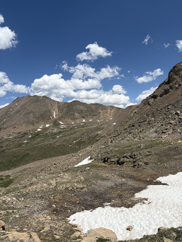
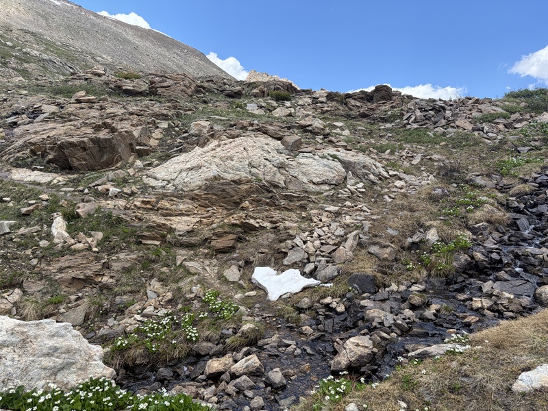
And, since it's June, there was snow! This was actually a blessing, as it spared me from a bit of talus misery heading down from the saddle. There was even an occasional hint of a cairn, though trying to find a path to follow proved useless. You're going to have to cut east across a large basin, and you can choose between some gentle up/downs on talus, or a lower descent and then subsequent ascent on grass. There are small streams in this basin too, if you need to refill water. 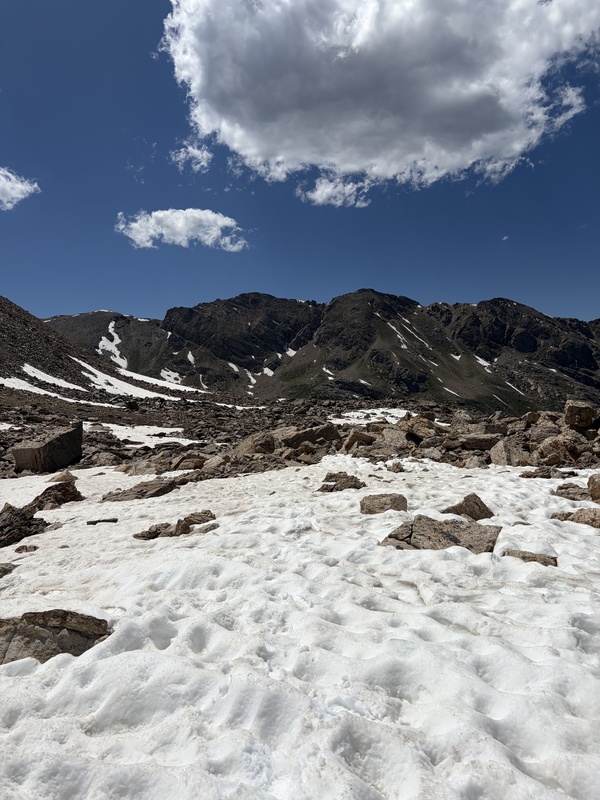
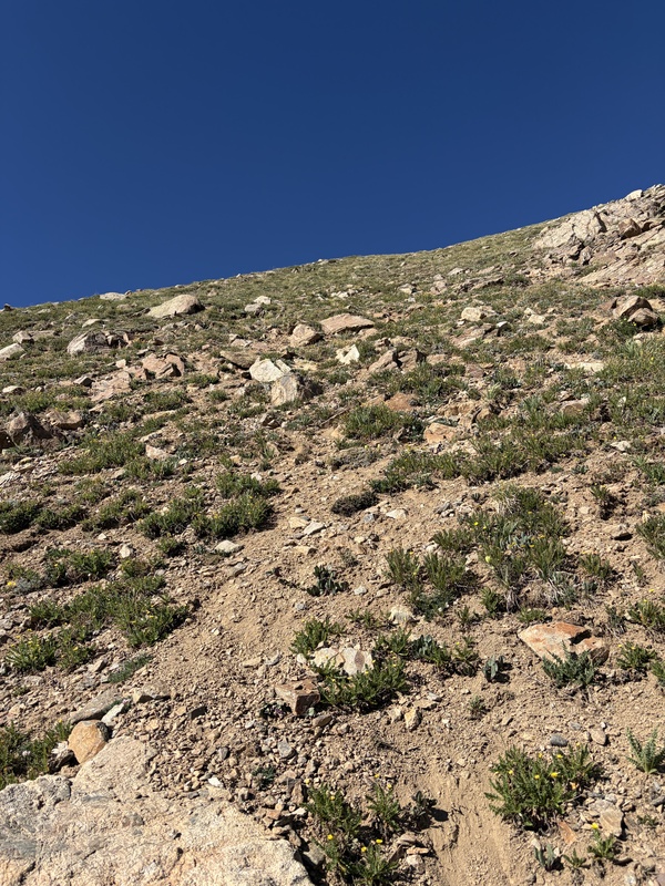
After this rather long crossing, eventually, you get a view of a pretty unfriendly slope. It reminded me of "fiascol" when I did Casco earlier this year, which I'm going to do again since I didn't get up French that day. It's steep scree, miserable, and not something to look forward to, but it's not dangerous. Rockfall isn't really a concern, and there's a hint of a footpath (though that may have just been my imagination). 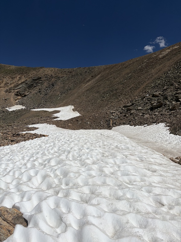
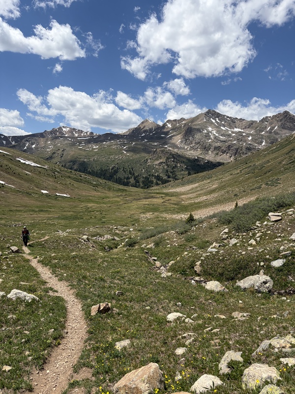
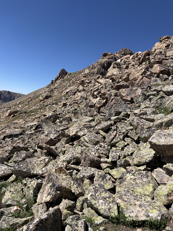
After trudging through this mess, I finally reached the South Ridge of Oklahoma at 12,800'. This is the Oklahoma-Deer saddle, and from here on out, there's more documentation. It's class 2, like so many sawatch ridges. The way up Deer evidently goes at adventurous class 3, but that wasn't in the cards today. No helmet, no beta...etc. --> no summit. Oklahoma, on the other hand, looked plenty friendly. This is a good place to look at your photos from the first saddle. There are several ridge humps, and pretty much none of them need to be tackled directly. It looks like they all go at class 2 (and maybe 3 if you stuck to the ridge the whole way), but you can follow grass on the left (west) side of the ridge for 90% of this section if you'd like. In general, it's wise to stay within around 100 feet of the ridge so you keep ascending and stay out of trouble, but an ascending traverse works well here. 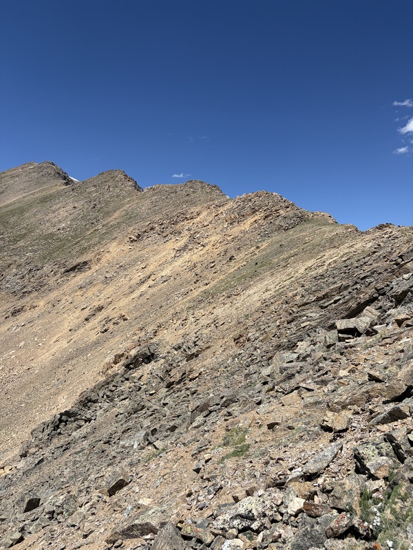
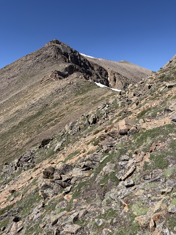
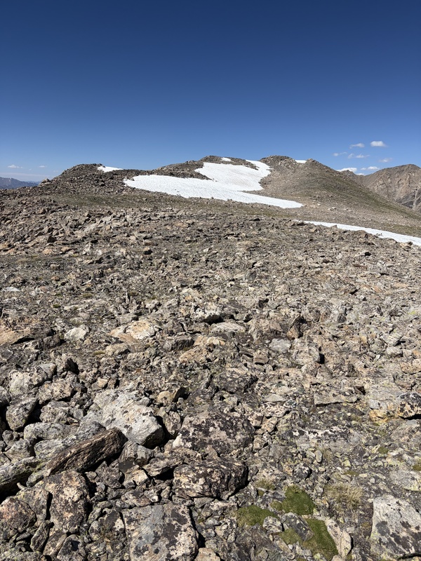
Eventually you do reach a bump that you should head directly over. This is around 13,700ish, and I don't have a great picture of it, but it's obvious when you're on the route. From here, ridge proper works just fine, and you reach the summit ridge. Crest another bump, and the true summit comes into view, across a relatively flat plateau of talus. Follow this however you please. I went around the snow, but you can choose your adventure as you make your way to the summit. 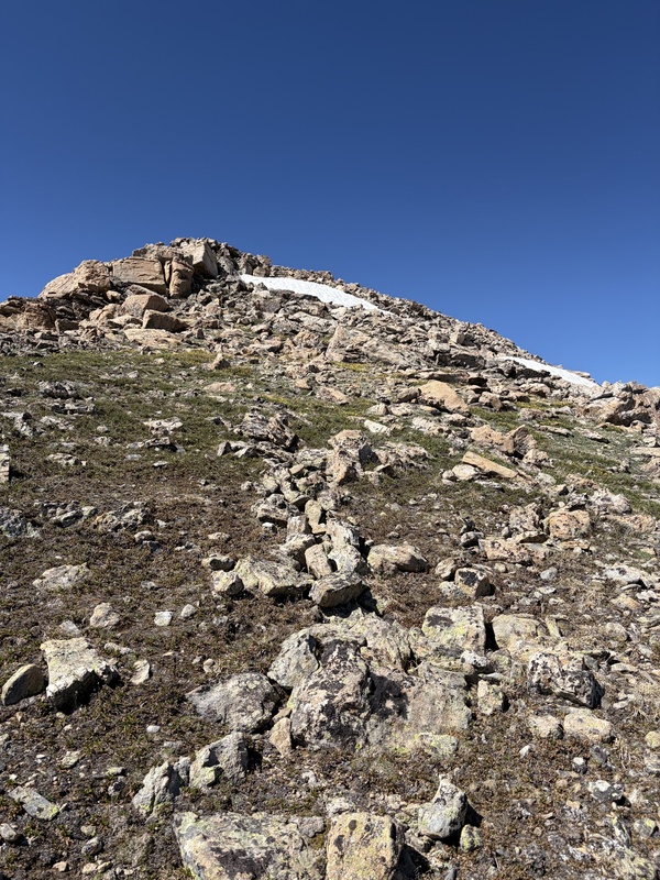
Now, for the descent. While glancing at the south ridge from afar, it's easy to see massive grassy slopes filled with scree. These did not look appetizing to ascend. Going down, though, I decided to give them a try. Timing wasn't easy, though, and this could have become an error in judgment. Descend too soon, and you end up in scree hell and way too low in the valley. Go too late, though, and there are some cliffs on the lower south ridge that would not be fun to encounter. I think I got this right, with a general descending traverse, but it was pretty steep. There was plenty of scree, some grass, and though it was class 2 terrain, I still think that the scree slope from hell to gain the ridge is the right way to ascend. Tbh it probably is the right way to descend too.... I just happened to go this way. 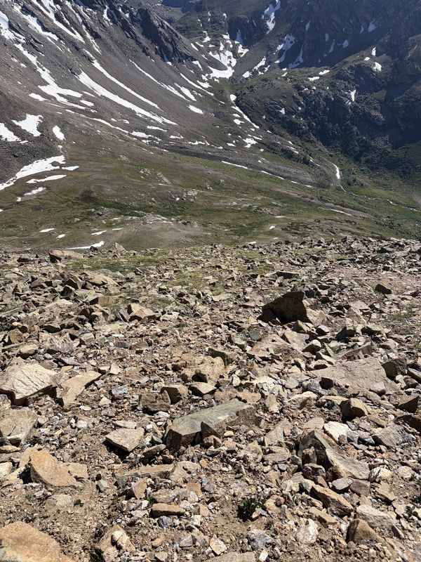
Back in the basin, it became easy to see that I had traversed the valley too soon on the way up. Gentle, grassy wildflower slopes where much more pleasant, and crossing the basin was a breeze. There were these pretty pink flowers, along with columbines, white flowers...etc. everywhere. Re-ascending 500 feet, though not awesome, was absolutely made easier by the (super-melty, but thankfully not post-hole-ish) snow. Once again, I found a few cairns. I regained the saddle, rested and rehydrated, and reversed the trailed class 1 route back to the car. Geo and I texted that evening and confirmed that we had both made it back safely, and we can both now claim SKTs on the route. This was a fun one to try, and though it's not exactly going to become a standard route anytime soon, if you hate 4wd roads, maybe this route will call to you too. 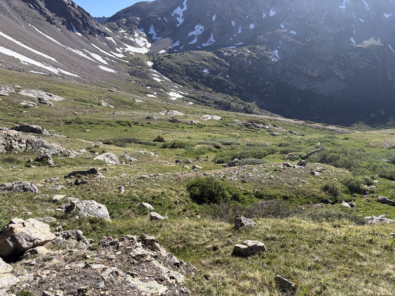
By the way, I found not one, but two (!!!) porcupines in the gentle basin. I'd never seen any despite being in CO for nearly a decade, and they were an unexpected highlight of my afternoon. They're a lot larger than I would have imagined. 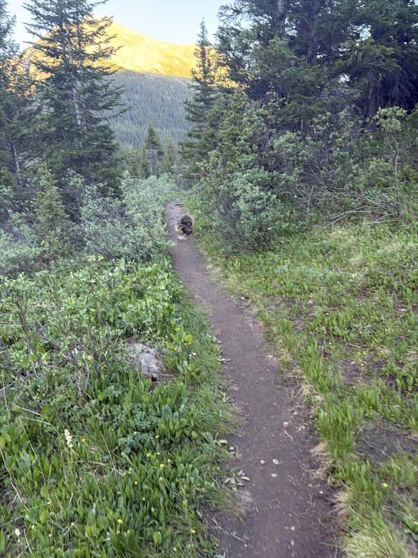
NOTE: once you leave the first saddle, you don't have any way back to your car other than reversing your route. Check weather carefully before descending into the unnamed basin, bc you'll have approx. 500 feet to regain on the way out. Thumbnails for uploaded photos (click to open slideshow): ")
")
")
")
")
")
")
")
")
")
")
")
")
")
")
")
")
")
")
")
")
")
")
")
")
|
| Comments or Questions | |||
|---|---|---|---|
|
Caution: The information contained in this report may not be accurate and should not be the only resource used in preparation for your climb. Failure to have the necessary experience, physical conditioning, supplies or equipment can result in injury or death. 14ers.com and the author(s) of this report provide no warranties, either express or implied, that the information provided is accurate or reliable. By using the information provided, you agree to indemnify and hold harmless 14ers.com and the report author(s) with respect to any claims and demands against them, including any attorney fees and expenses. Please read the 14ers.com Safety and Disclaimer pages for more information.
Please respect private property: 14ers.com supports the rights of private landowners to determine how and by whom their land will be used. In Colorado, it is your responsibility to determine if land is private and to obtain the appropriate permission before entering the property.


