
| Report Type | Full |
| Peak(s) |
Tabeguache Peak - 14,158 feet Cyclone Mountain - 13,616 feet "Lo Carb" - 13,598 feet Carbonate Mountain - 13,662 feet |
| Date Posted | 07/10/2026 |
| Date Climbed | 06/01/2026 |
| Author | CaptainSuburbia |
| Ridin The Cyclone to Lo Carb - Plus Tabeguache |
|---|
|
Ridin' the Cyclone to Lo Carb plus Tabeguache - West Ridge 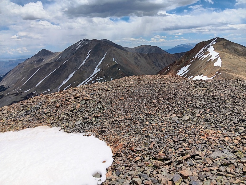
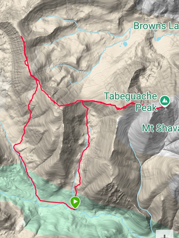
Day of Climb: Monday, June 1st, 2026 Trailhead: Jennings Creek Peaks: Tabeguache, Carbonate, Cyclone and Lo Carb. Mileage and Elevation Gain: Approximately 12.5 miles and 6500 feet of gain. 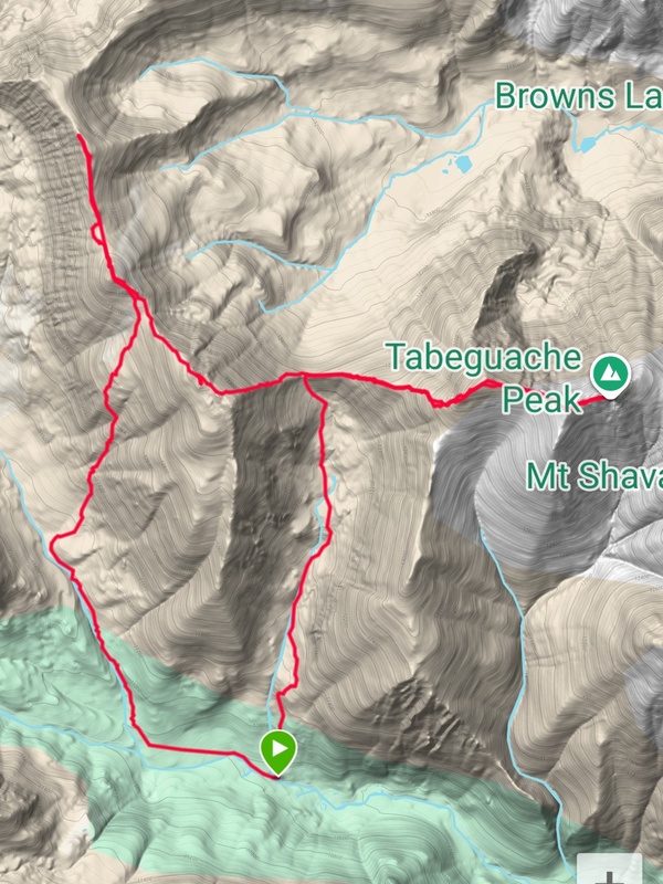
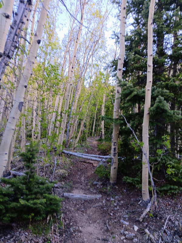
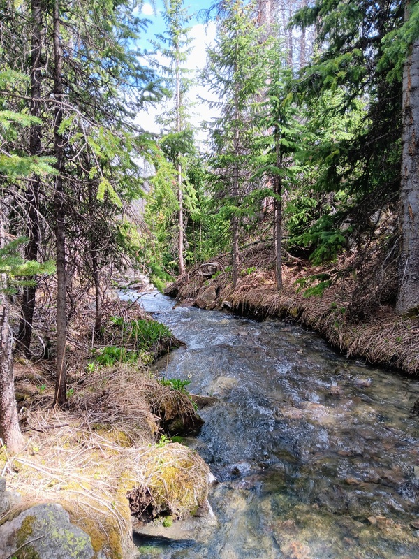
I started this climb from the Jennings Creek trailhead. Getting there was a long, bumpy ride up the 4wd road which starts after the Angel of Shavano Campground. It was 3.8 miles of very slow driving and took me roughly 45 minutes. There were no serious obstacles just lots of rocks slowing progress. I had read that the trailhead was easy to miss, and of course, I drove right by it before quickly realizing my mistake and backing up. It's a tiny, undistinguished trailhead with spots for maybe 2 or 3 cars and very little space to turn around. I was the only one parked there on this day. I was on the trail by 7:20 am and cruising up towards the West Ridge of Tabeguache. The beginning section is moderately steep and heavily wooded. This trail does not seem overly popular, but it was well used and easy to navigate. There were some old timber steps that were badly in need of repairs, but otherwise, it was a fine trail. 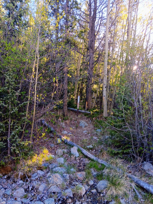
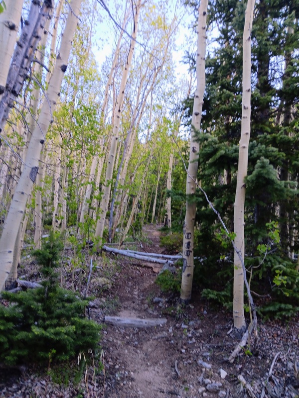
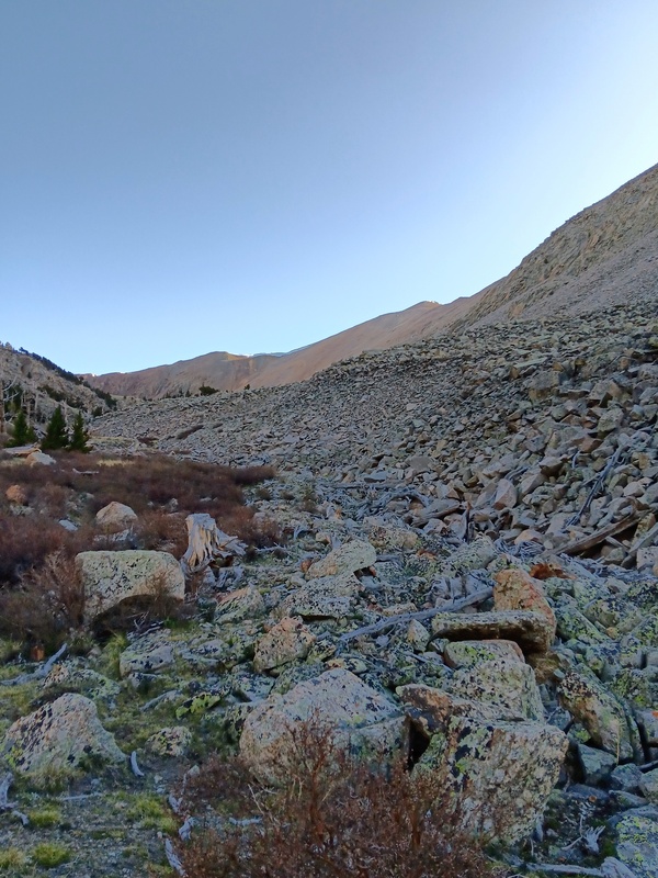
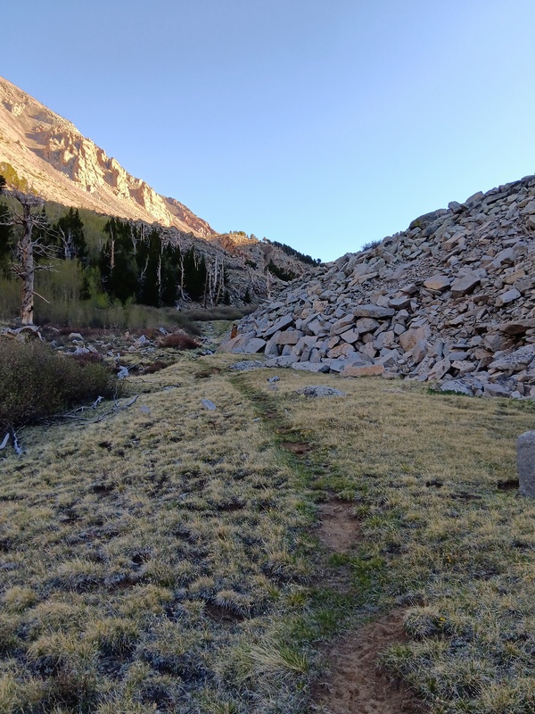
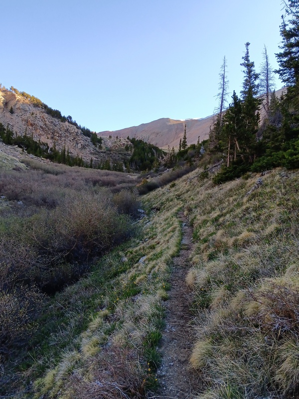
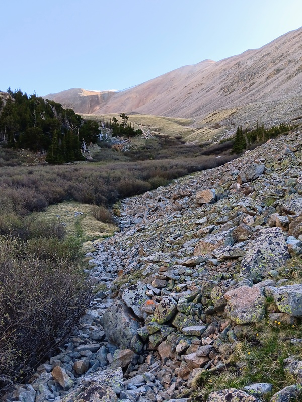
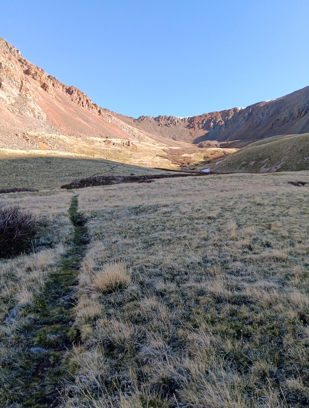
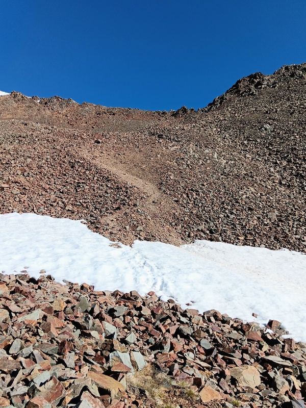
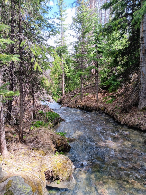
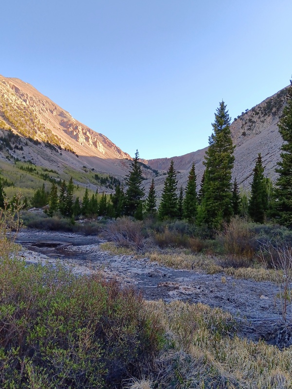
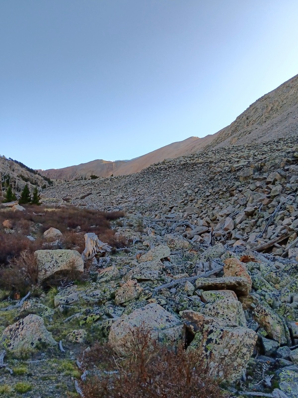
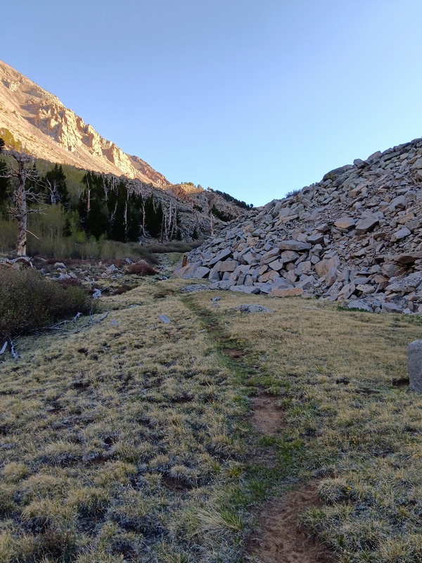
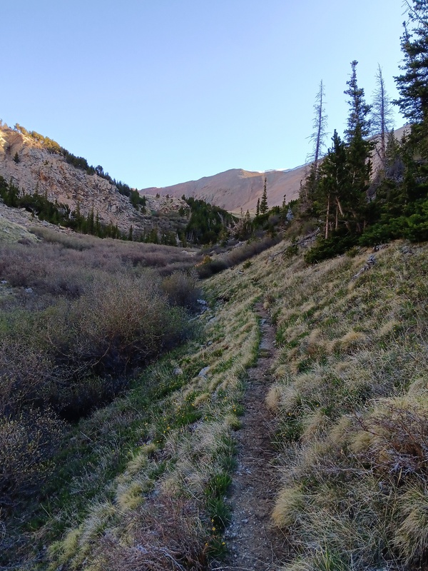
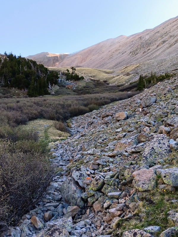
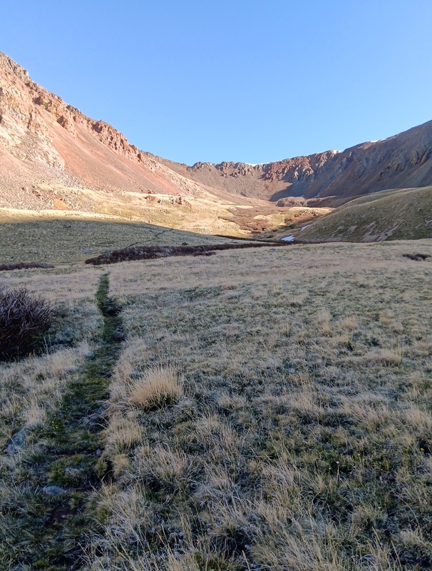
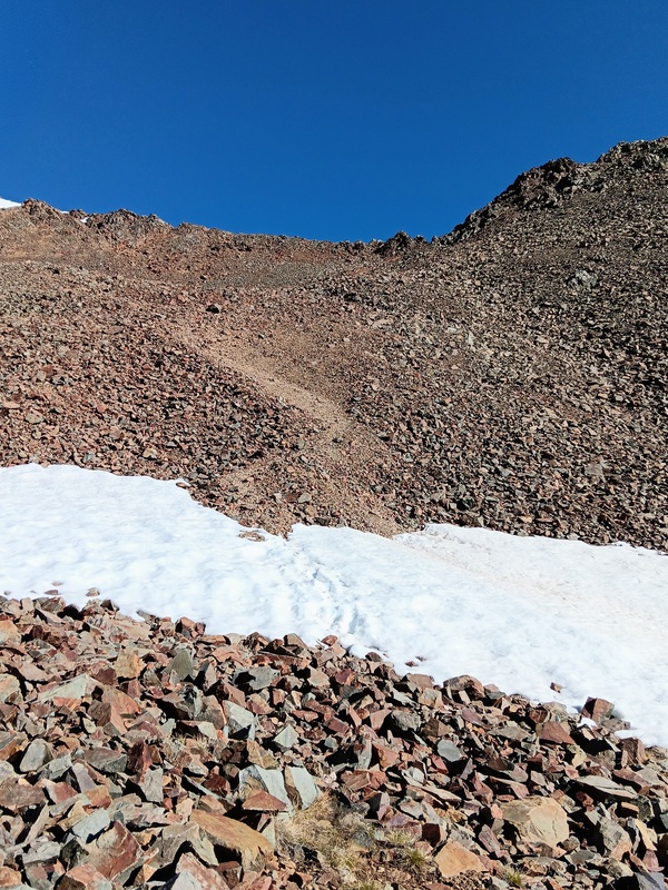
At 11,200 feet I reached a partial clearing with an empty tarn. I turned left after the tarn and started following a solid trail that was sandwiched between Jennings Creek to the left and a talus slope to the right. The trail climbs slowly from here to the upper basin where it eventually ends at a scree slope that must be climbed to reach the West Ridge of Tabeguache. The scree slope was short and I quickly reached the ridge at 12,600 feet. This was the saddle between Tabeguache and 13er Carbonate. 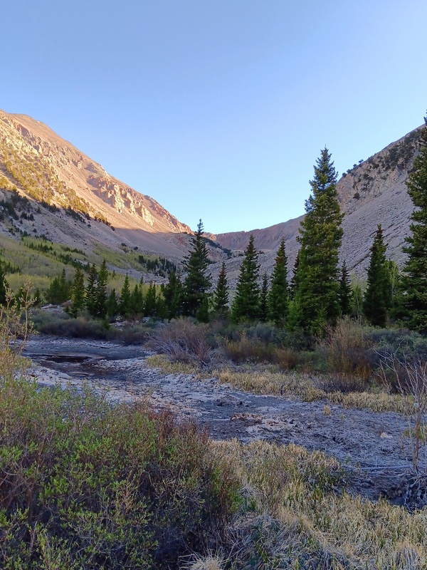
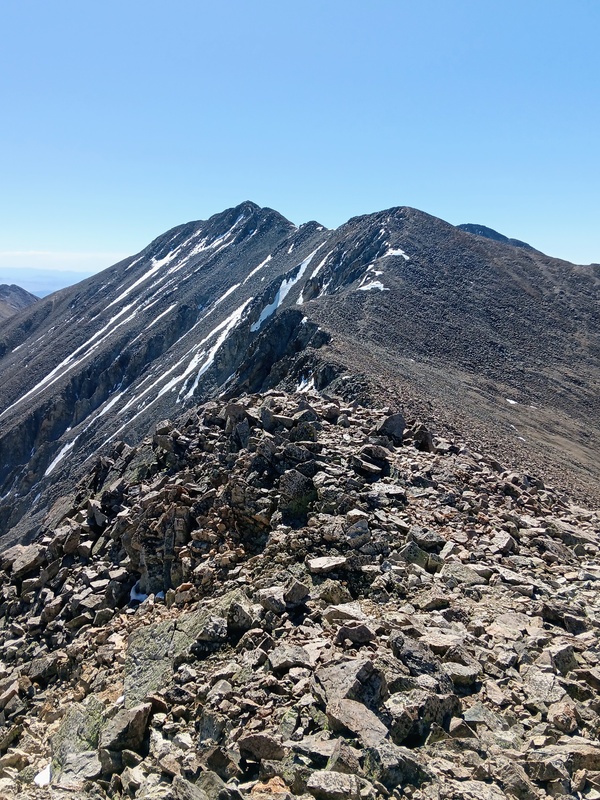
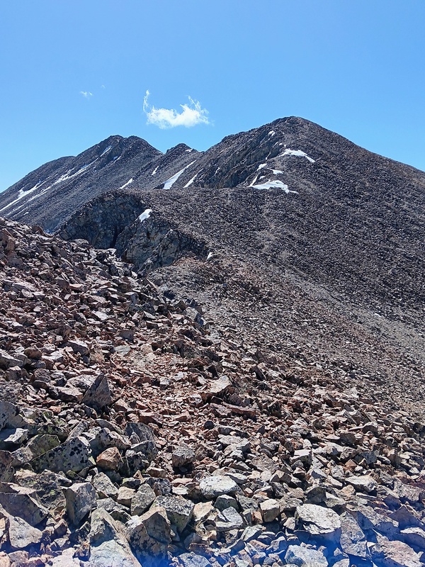
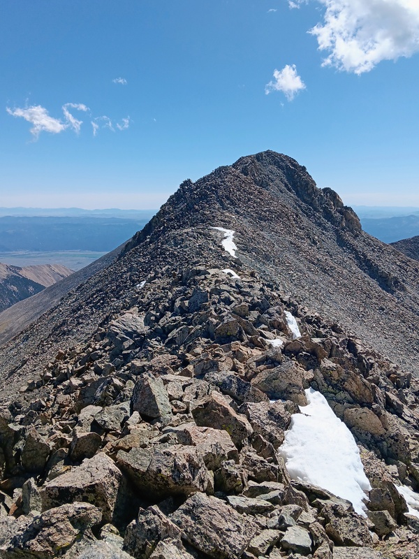
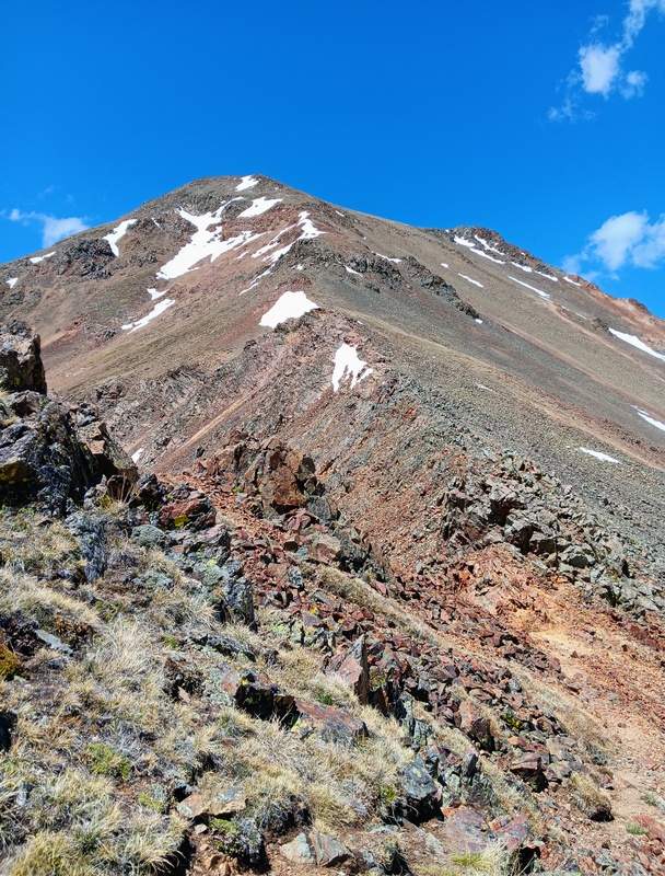
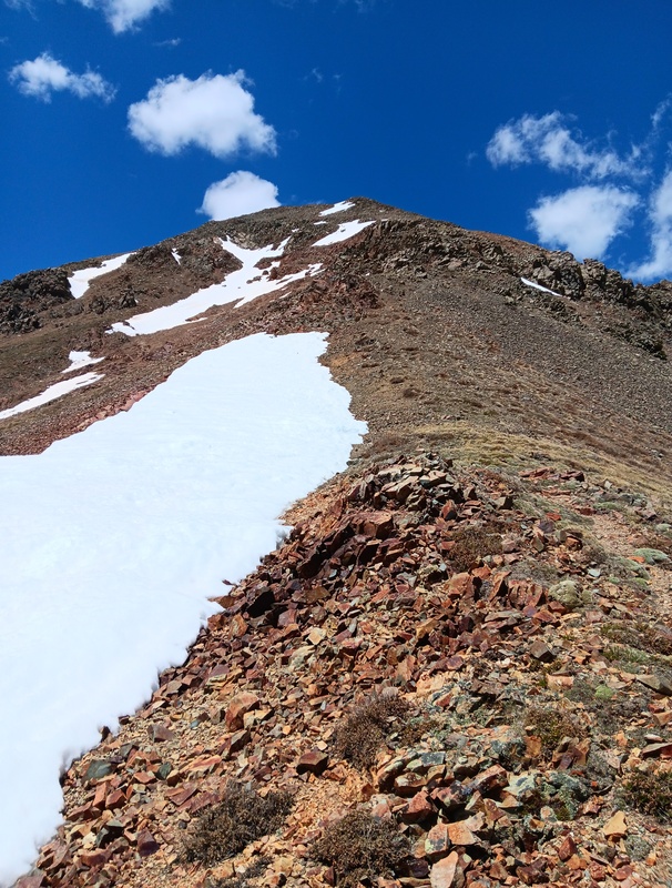
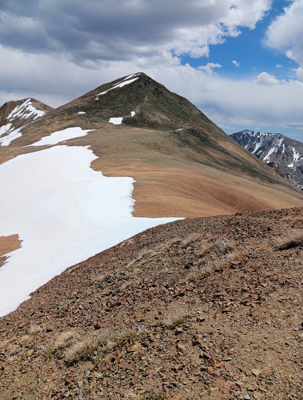
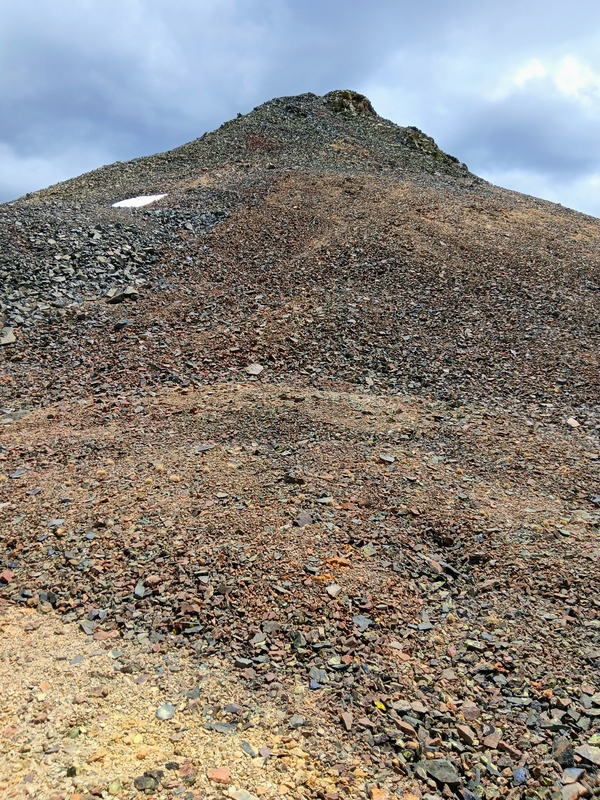
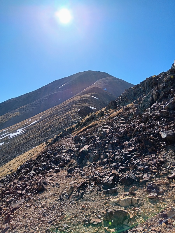
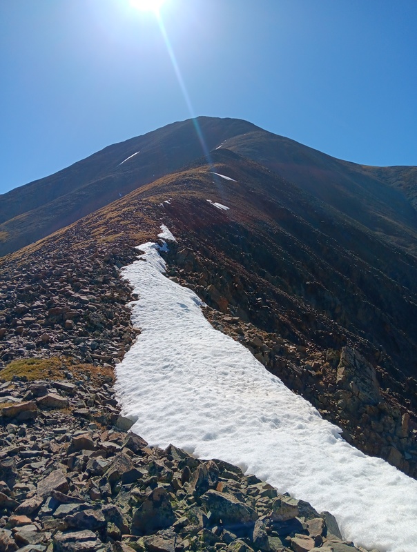
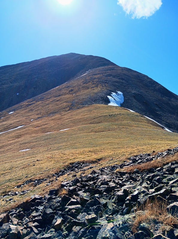
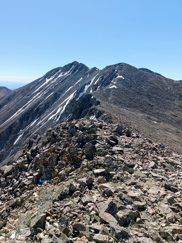
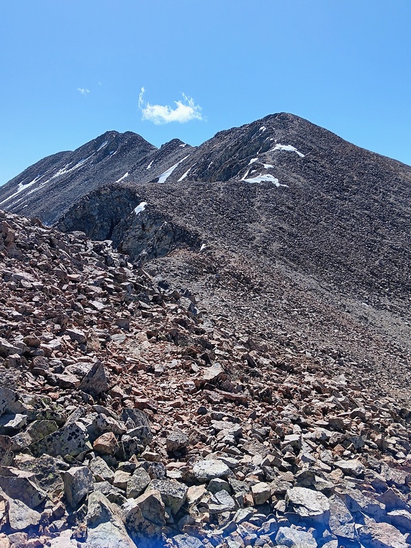
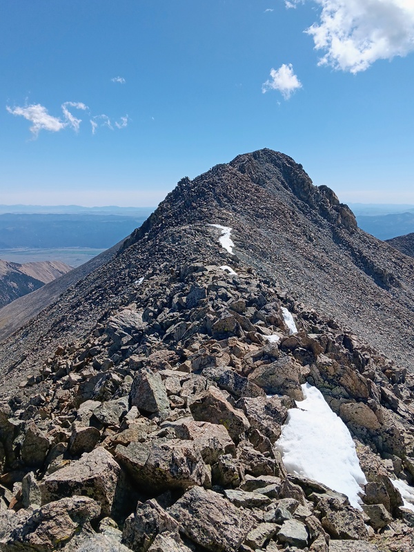
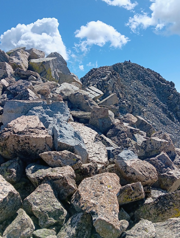
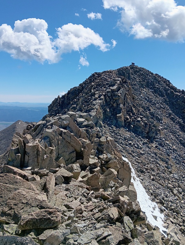
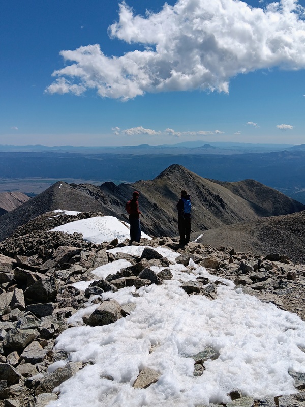
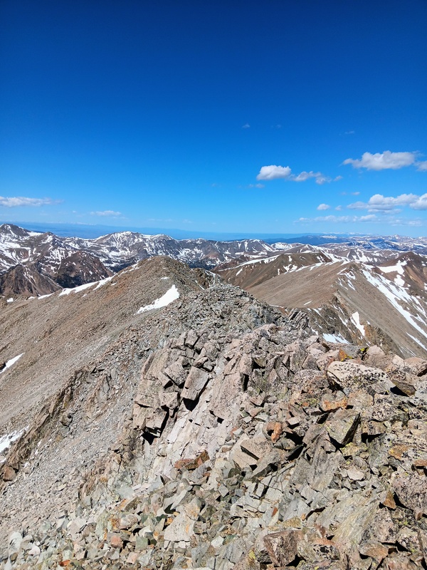
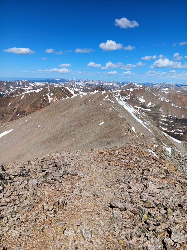
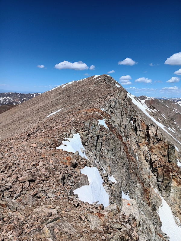
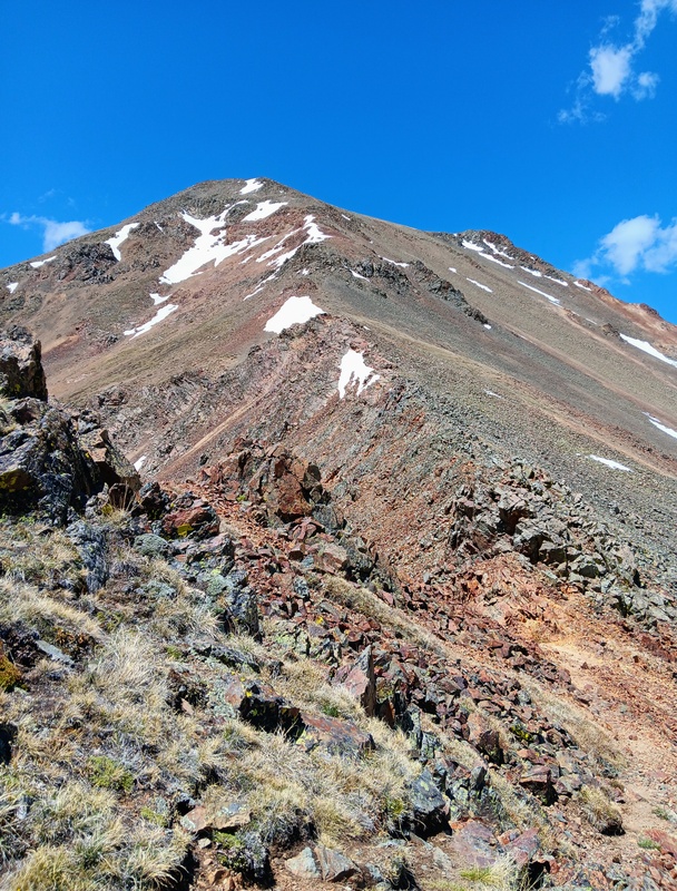
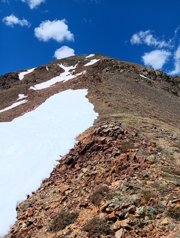
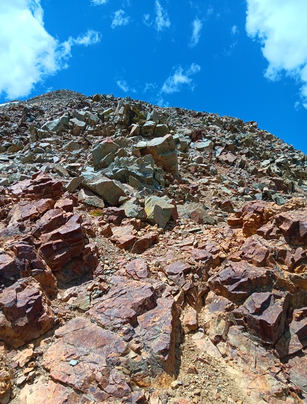
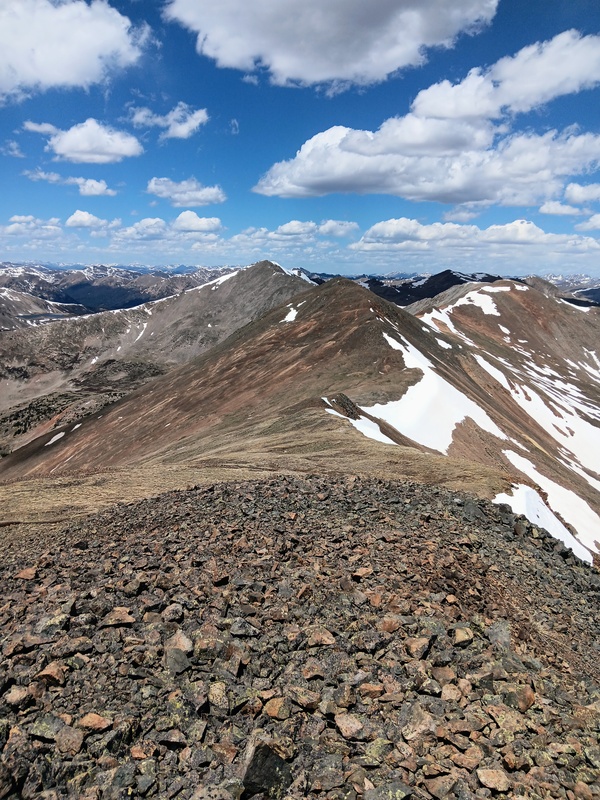
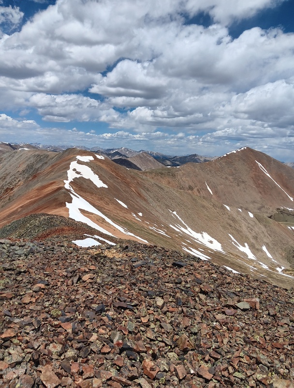
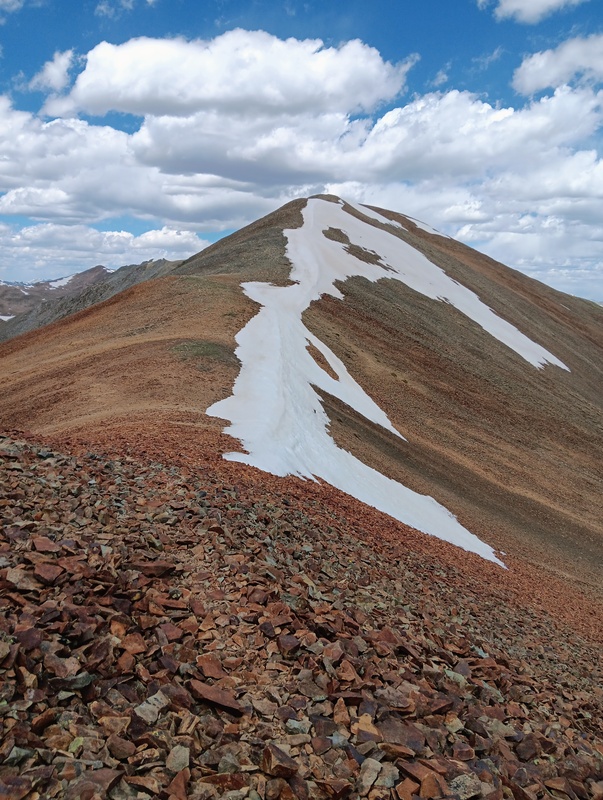
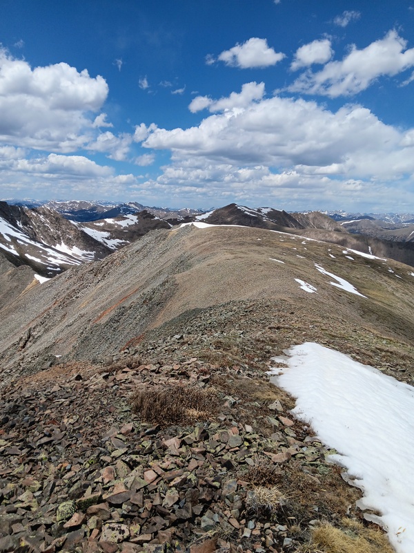
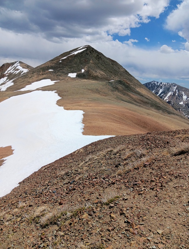
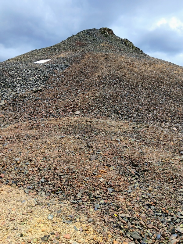
At the Carbonate-Tabeguache saddle I turned right (east) and headed up the West Ridge of Tabeguache. It is about 1600 vertical feet to the summit from here. The ridge is wide and gentle with a trail to follow most of the way. The summit is blocked and not visible until the final push up to Point 13,936. The views are great from Point 13,936 and the solitude is amazing. To this point, I still hadn't seen another climber. The summit of Tabeguache can clearly be seen now and it didn't look far. The terrain becomes much rockier from Point 13,936 to the summit with a hint of a trail to follow. Eventually, as I closed in on the summit, I could see a few other climbers hanging out there, having likely taken the standard route. The very last push to the top gets a little complicated. Initially, I stayed ridge direct not realizing this. At some point, I said to myself, "this isn't class 2". It looked like it probably went at class 3 or maybe a little higher or possibly it didn't go at all. I really couldn't tell for sure though and wasn't up for taking a chance. So, I backtracked just a little in search of the class 2 route I knew was there. I then dropped down to the right a short bit below the difficulties and "voila" there was an easy way to the summit and I hit the top after 2 hours and 40 minutes of climbing. 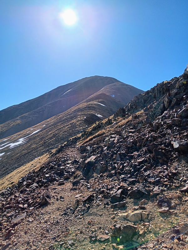
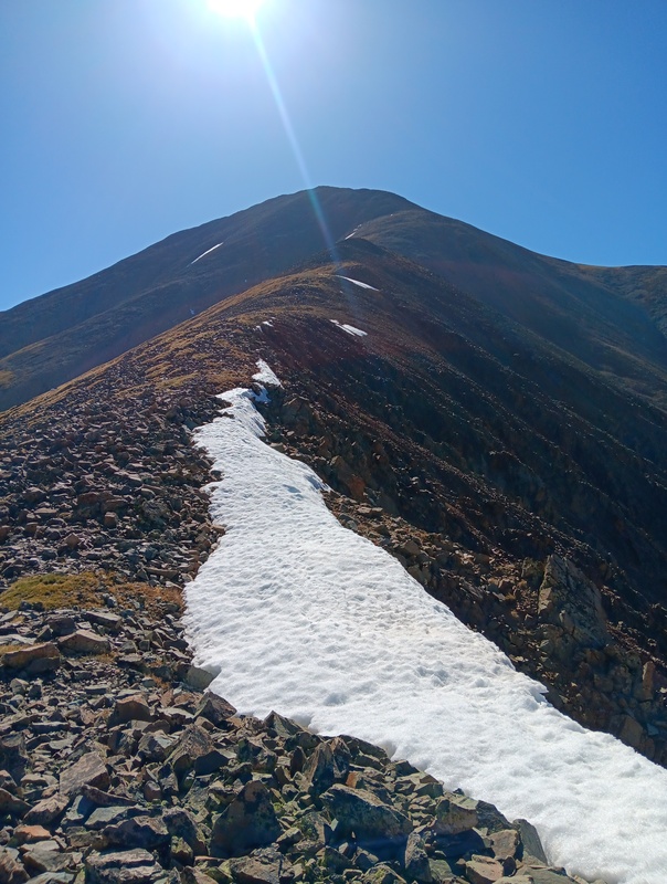
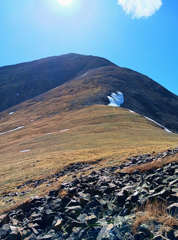
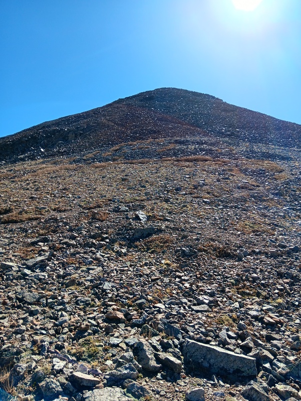
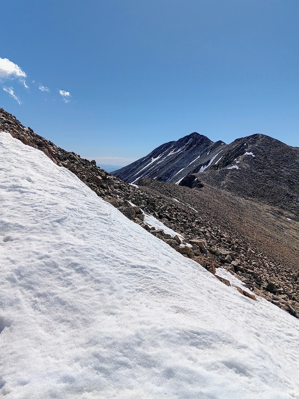
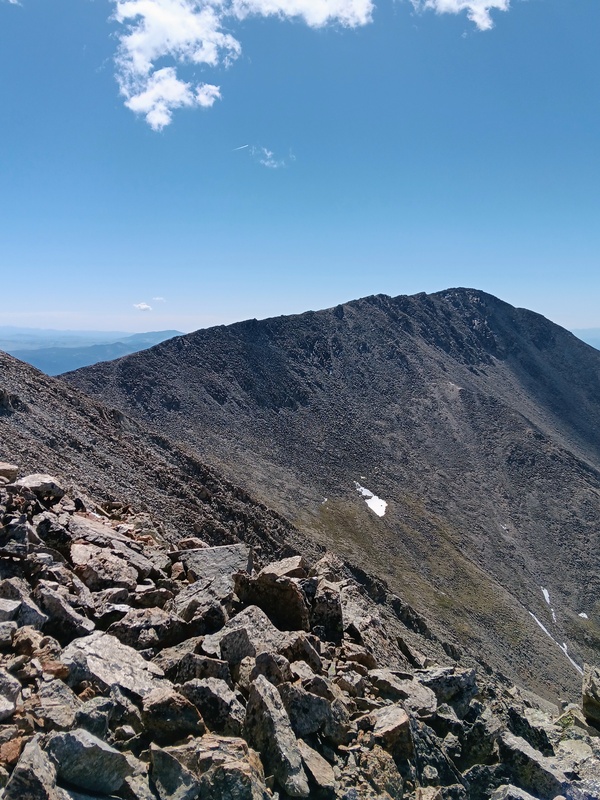
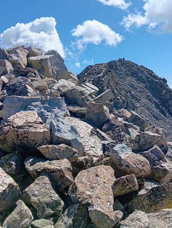
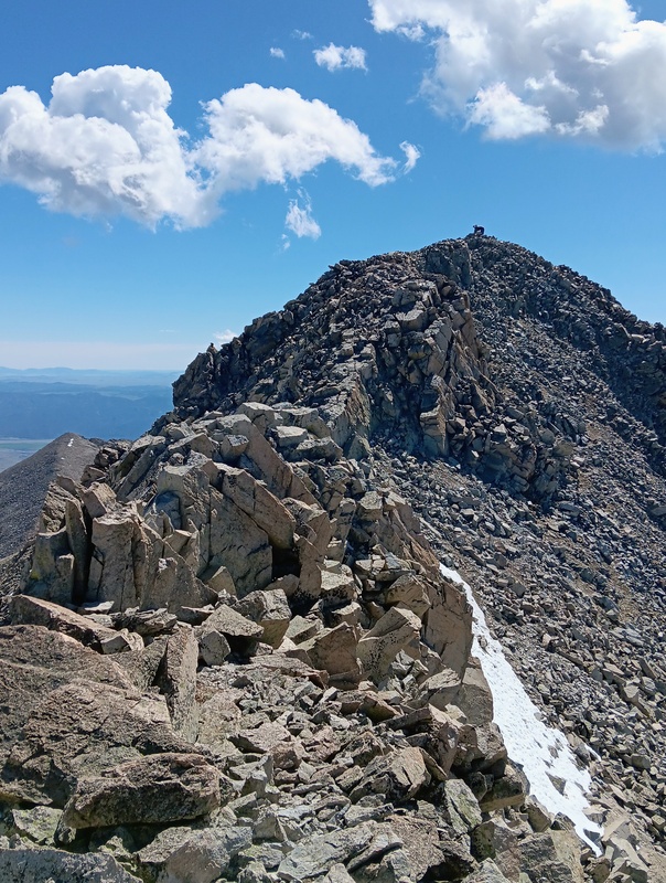
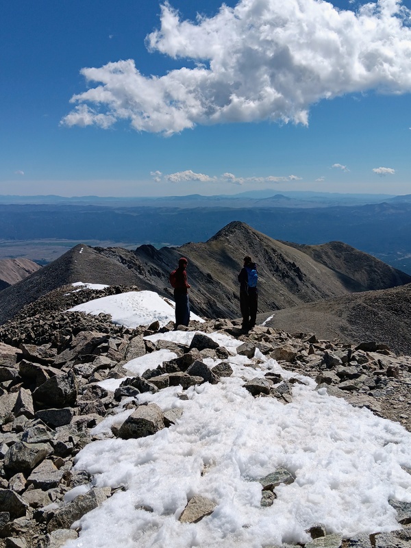
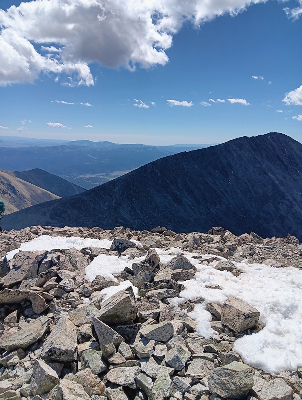
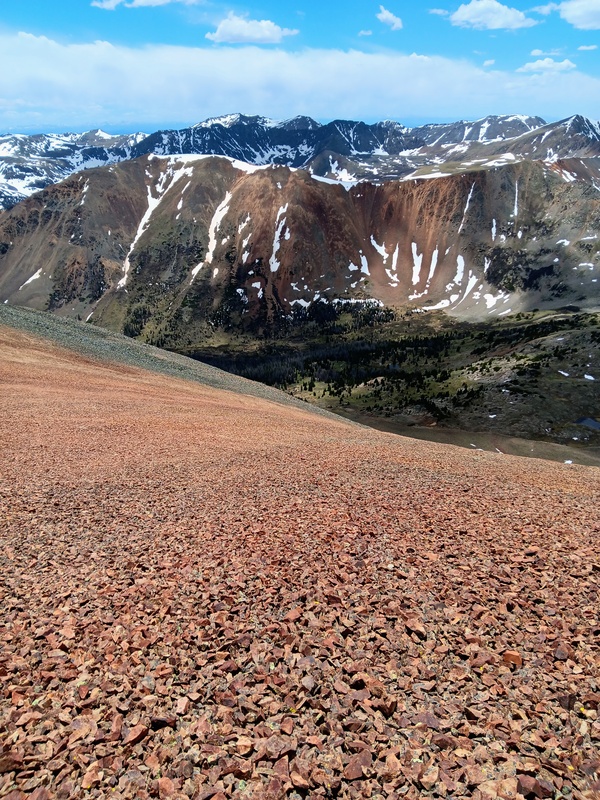
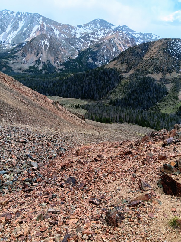
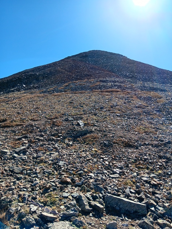
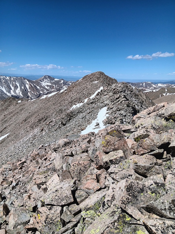
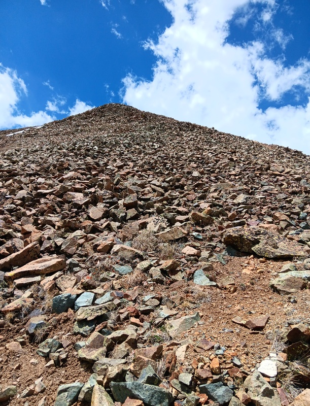
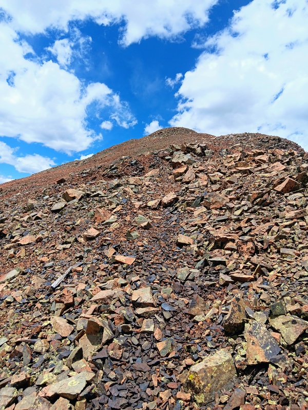
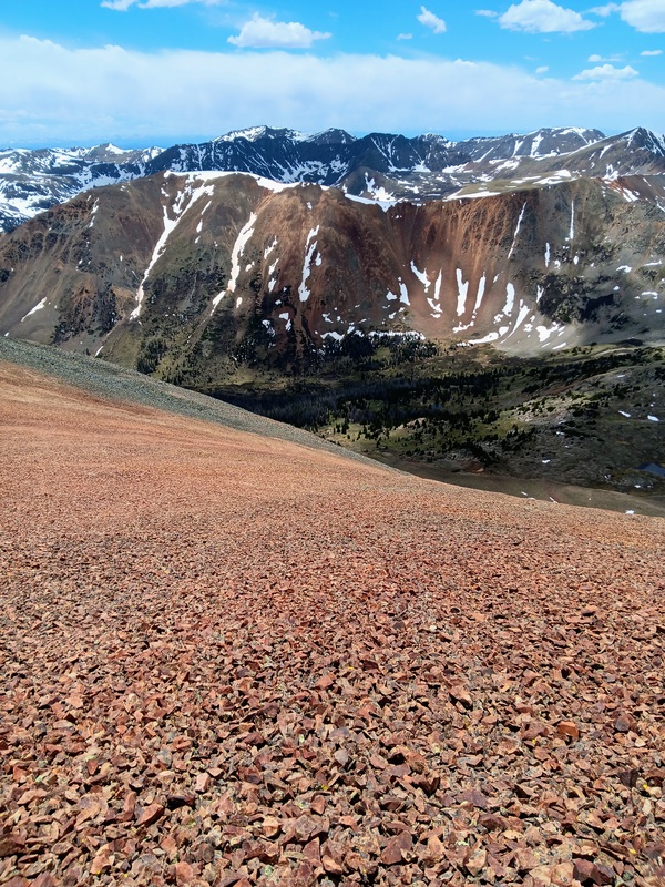
This was a cool route and a great way to get Tabeguache if you missed out on the double when doing the standard. With the 14ers getting so very crowded, it's nice to have a route to yourself. After a lengthy summit stay with the beautiful weather, I departed back down the West Ridge for my remaining 13er peaks. I reached the saddle quickly and started straight up the East Ridge of Carbonate. It was a massive 1000 vertical feet to the summit of this 13er and, "oh man", it was one of the steepest, sustained climbs I've done. I see why it's normally climbed by it's South Ridge. From the saddle, there also appeared to be a couple of difficult sections mid-way up, but I found easy class 2 passage through both. Upon reaching the large summit area, I noticed a second summit and tagged it as well before continuing on towards Cyclone. 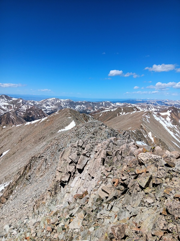
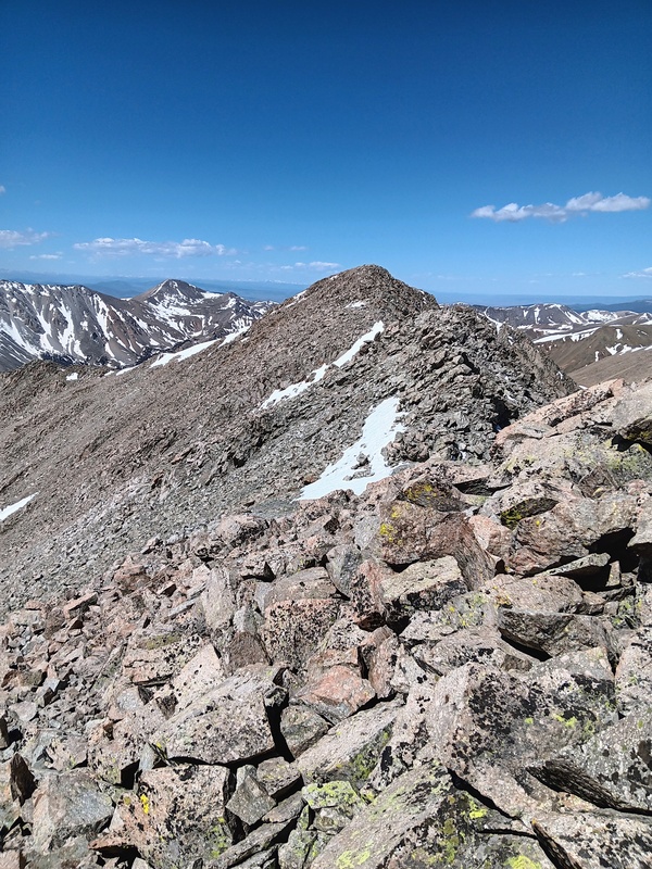
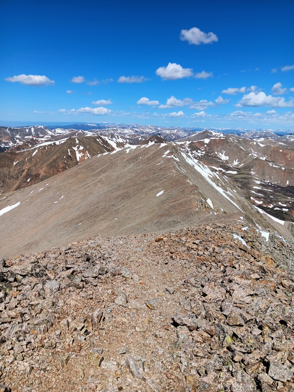
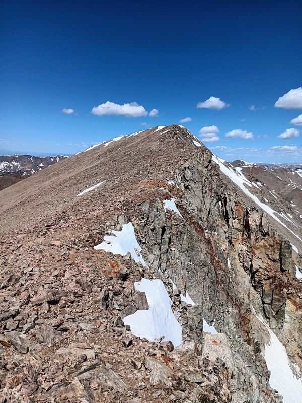
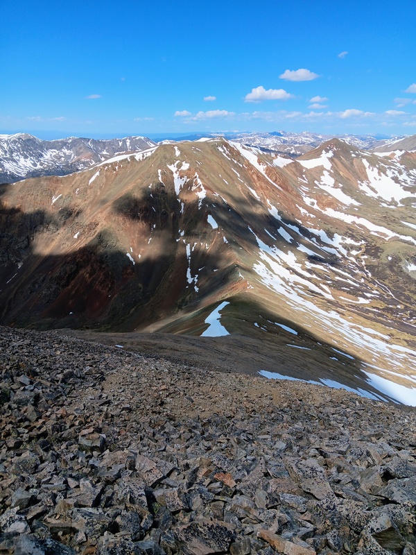
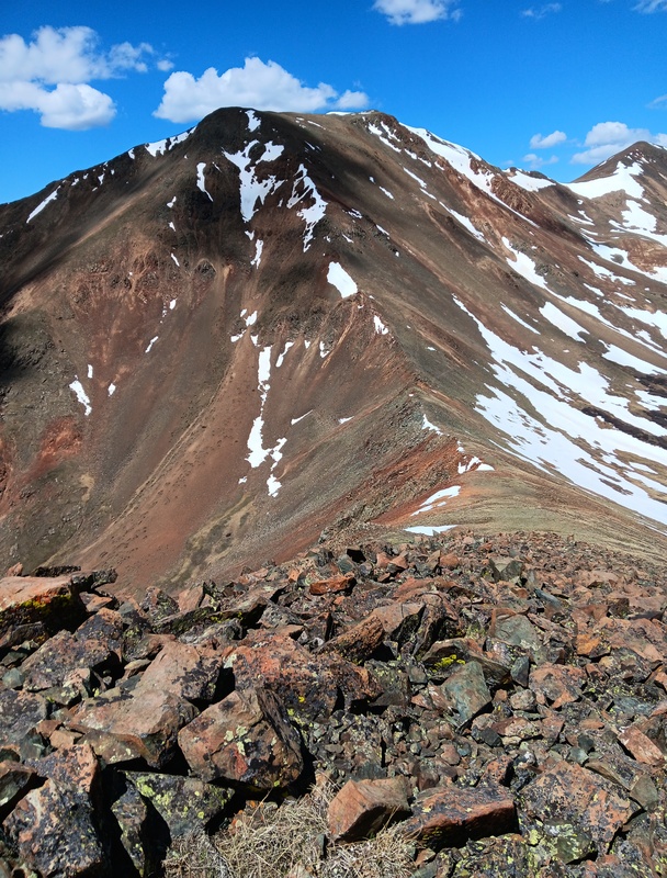
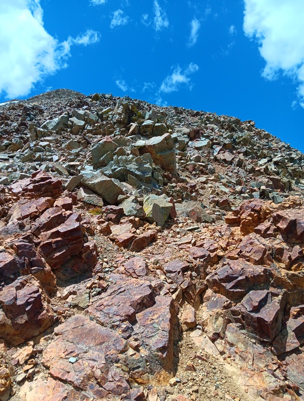
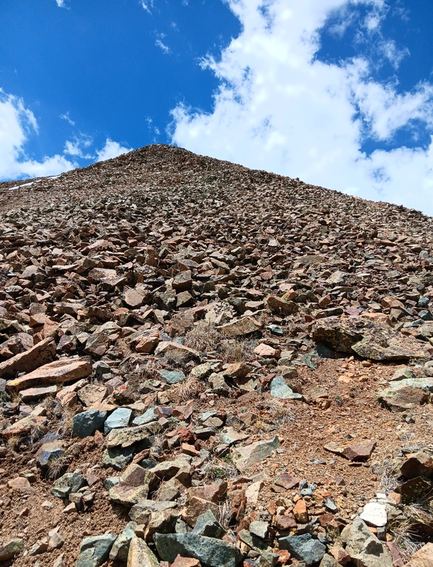
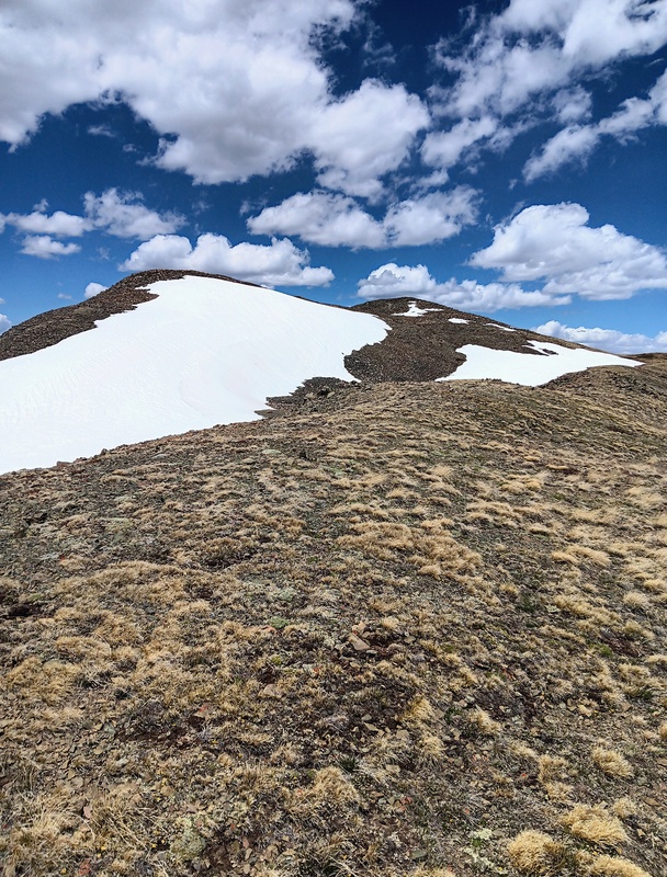
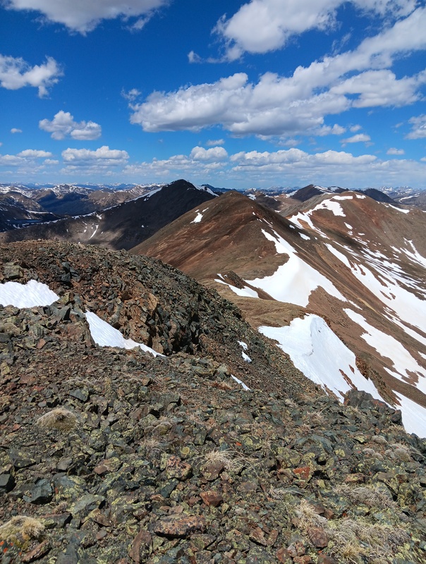
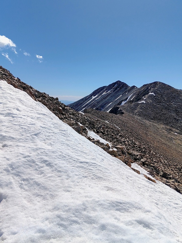
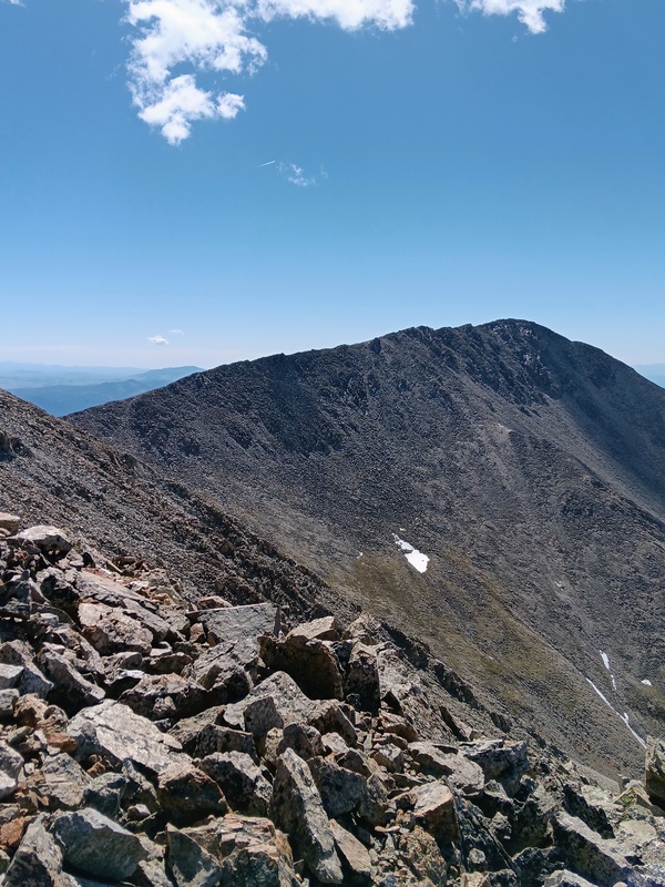
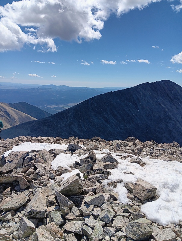
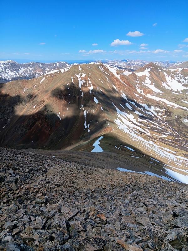
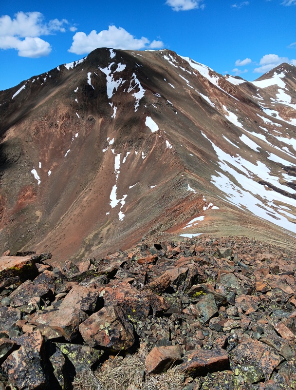
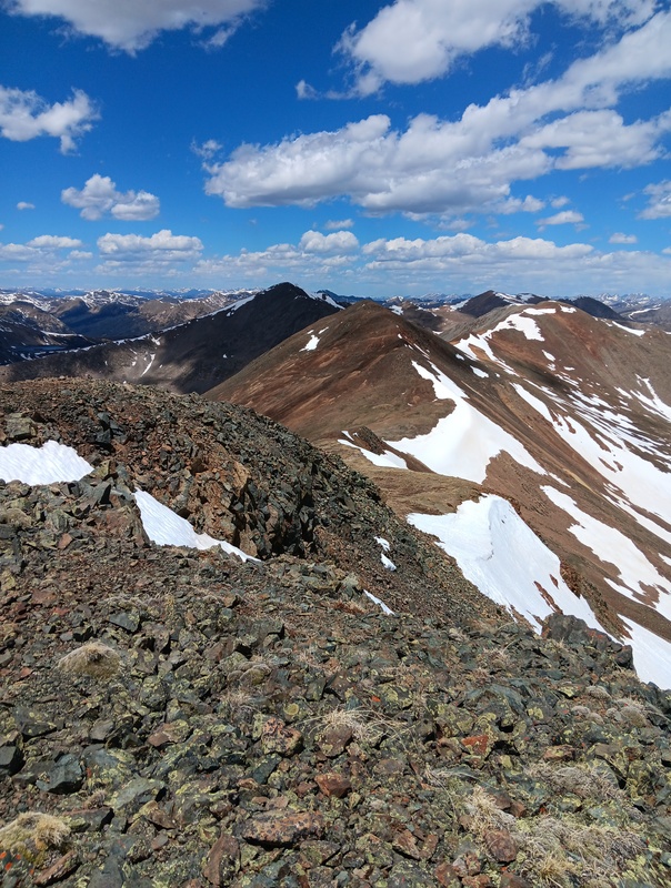
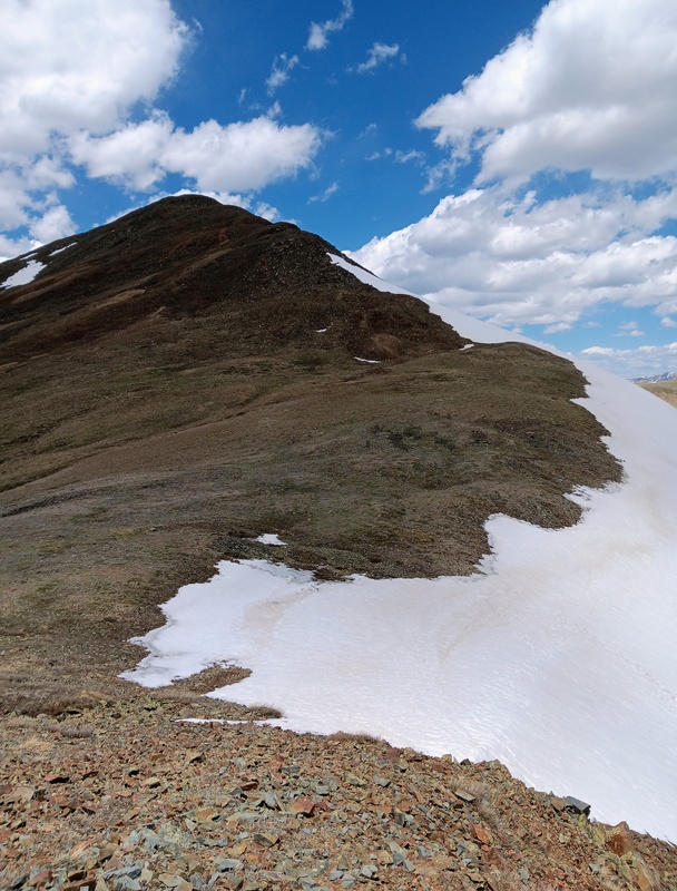
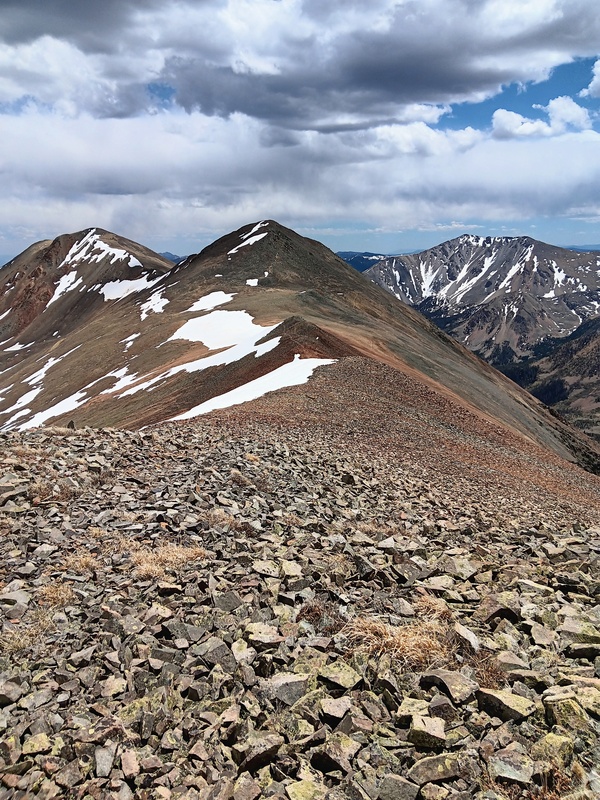
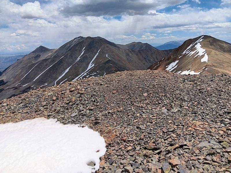
My summit stay on Carbonate was short. I took in the usual stunning, panoramic views and descended down it's Northwest Ridge towards Cyclone Mountain. The descent was a casual 400 feet off Carbonate to the saddle, and then I jumped into The Cyclone and click, click, click the ride started climbing in earnest. It didn't take long to reach another summit. I crested the hill, checked my lap belt and the car went screaming down, literally, through steep scree. I had both my arms up high enjoying the ride and then it was onto Lo Carb, my final peak of the day. 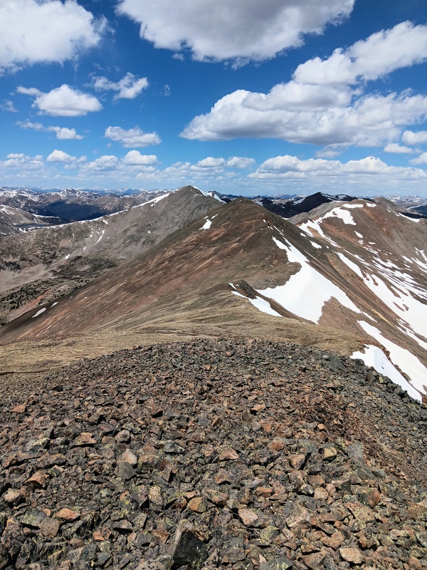
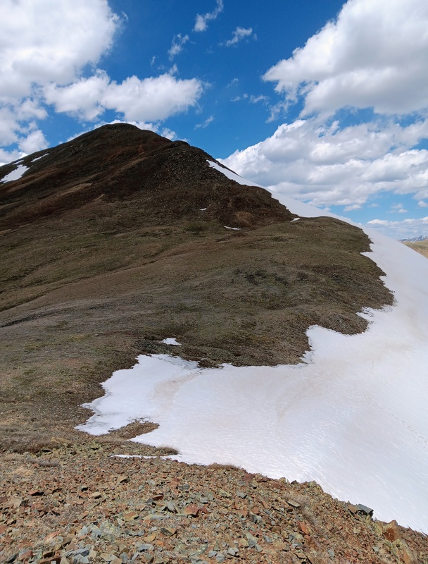
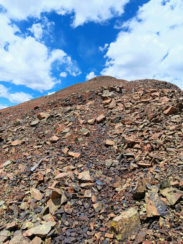
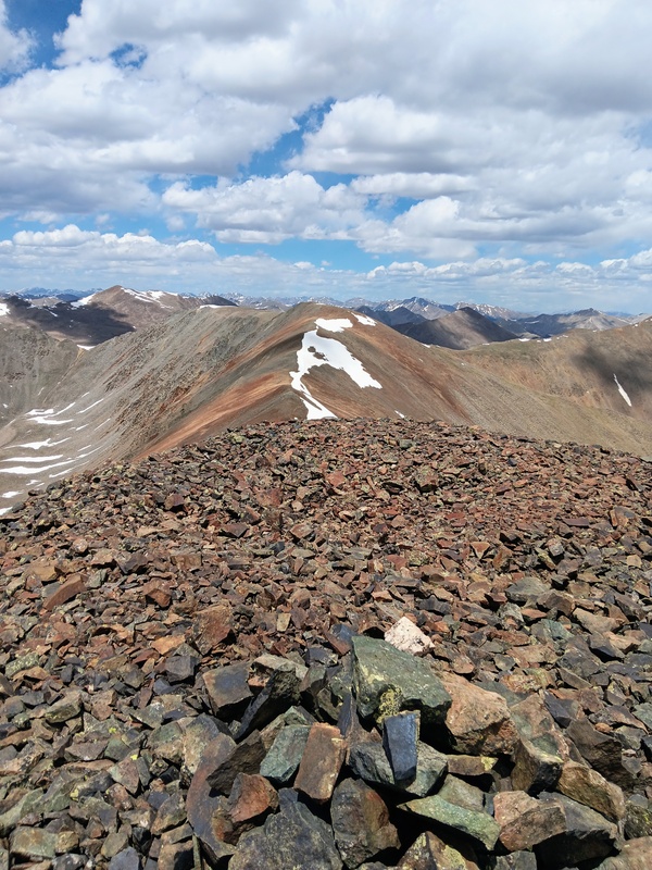
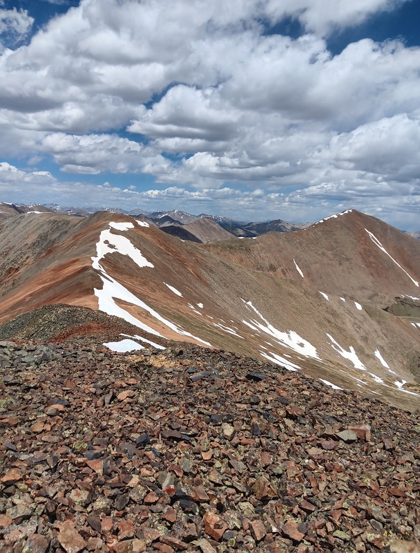
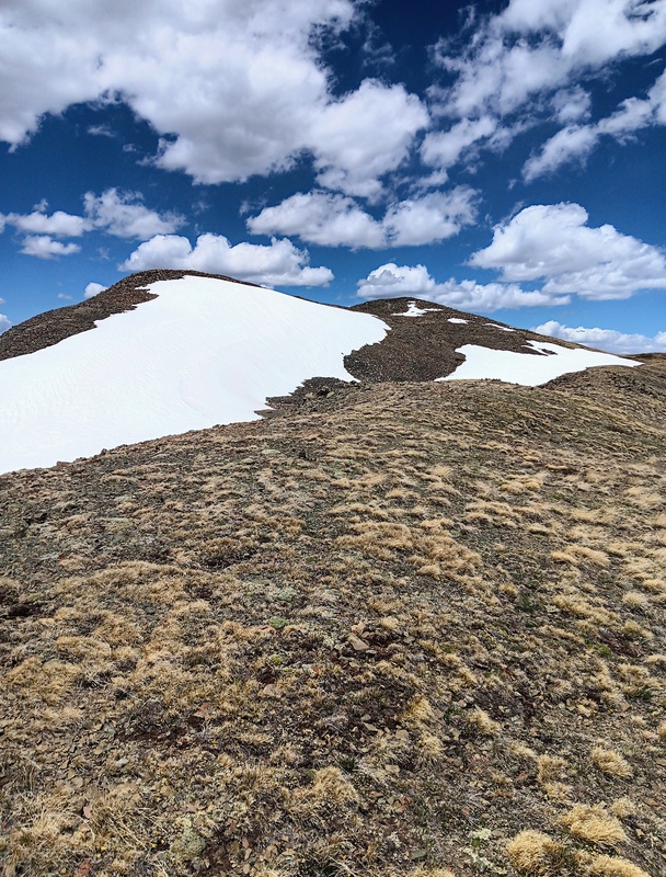
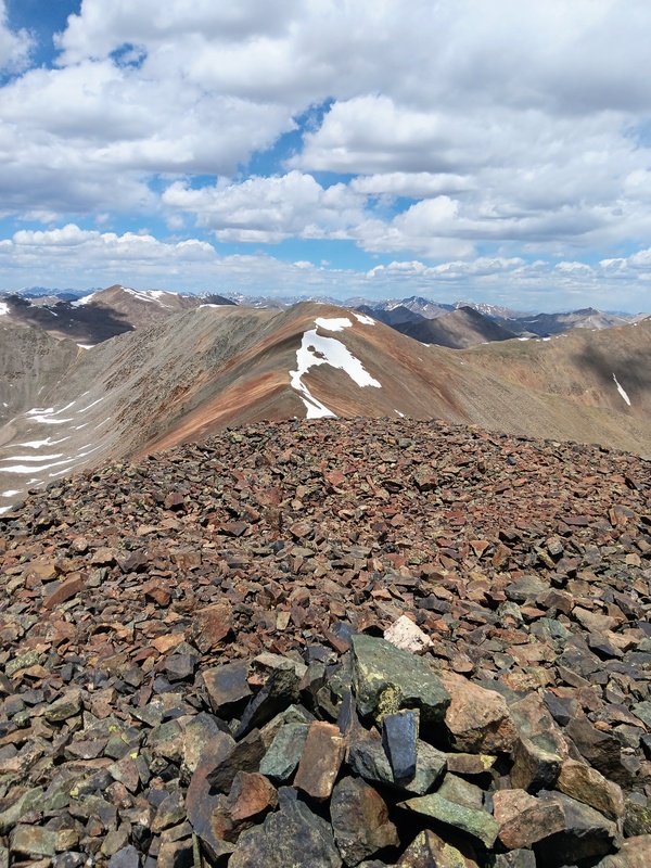
Getting up Lo Carb took longer than I thought. It was a very gentle climb but seemingly had one mini-false summit after another. Dark clouds were gathering so I had been hoping for a quick ascent. I made it up though after not long to the expansive summit area and then quickly uturned and headed back. The clouds were still a little concerning so I wanted to get lower as soon as possible. 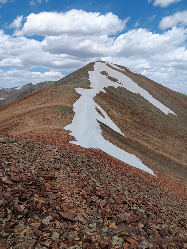
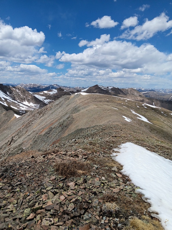
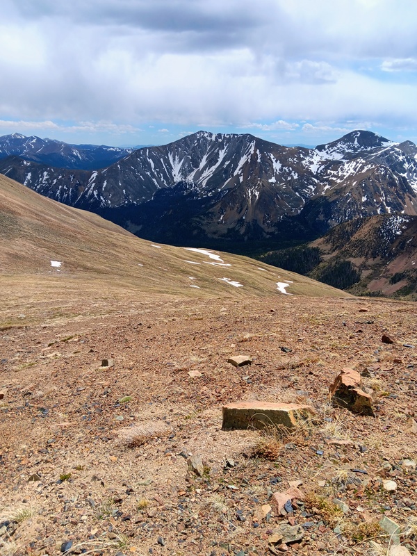
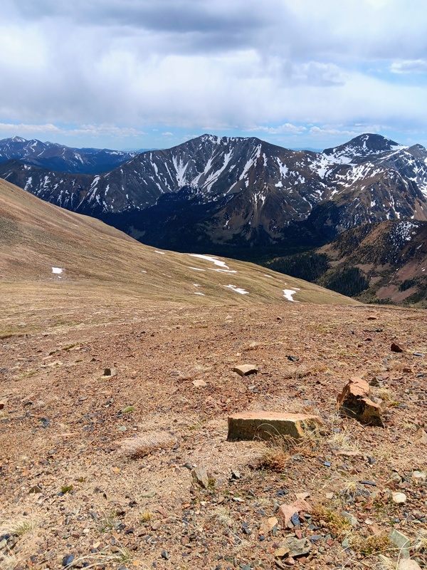
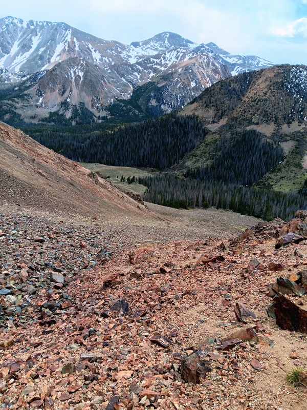
I quickly descended down Lo Carb back towards Cyclone. I decided to try and descend into the Cyclone Creek drainage from the Lo Carb-Cyclone saddle. It was steep scree. I had seen a trip report that said it went okay. Well, after going down a bit I changed my mind as it didn't look pleasant at all. Probably doable though. Instead, I went back for another ride on The Cyclone. I didn't relish the idea of climbing steep scree with a possible storm moving in. I got up Cyclone and down the other side as quick as possible and descended from there into the drainage. It was more mellow here, and there was even a goat trail to follow for parts. I eventually found myself in a rock gully which ultimately led to the Cyclone Creek trail and finally my truck. It was another great day in the mountains. 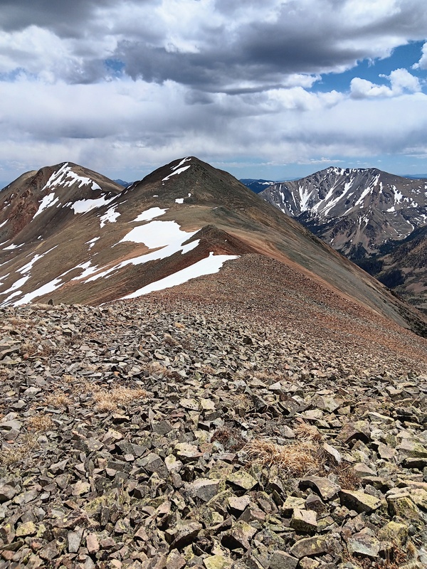
Thumbnails for uploaded photos (click to open slideshow): 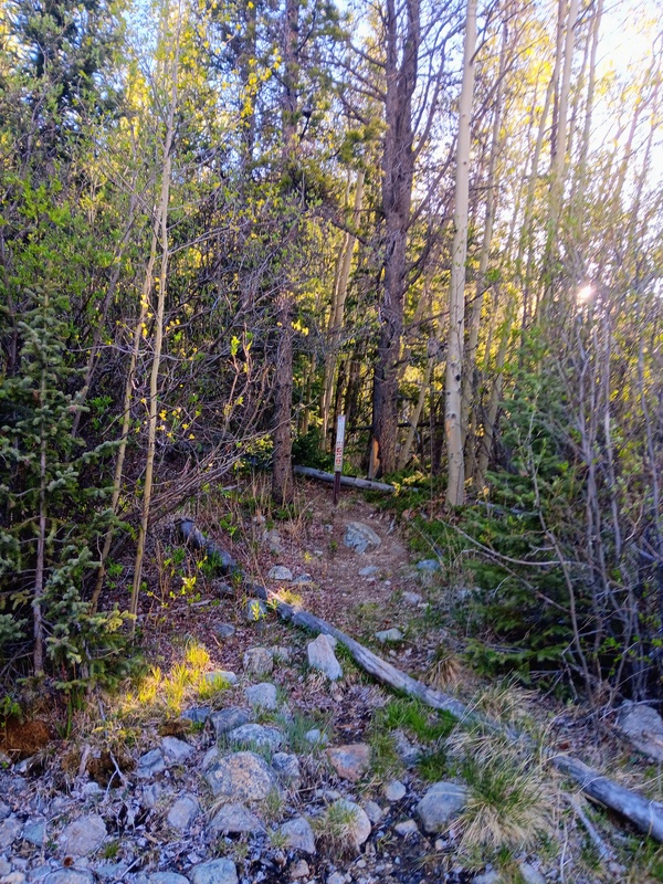
|
| Comments or Questions |
|---|
|
|
Caution: The information contained in this report may not be accurate and should not be the only resource used in preparation for your climb. Failure to have the necessary experience, physical conditioning, supplies or equipment can result in injury or death. 14ers.com and the author(s) of this report provide no warranties, either express or implied, that the information provided is accurate or reliable. By using the information provided, you agree to indemnify and hold harmless 14ers.com and the report author(s) with respect to any claims and demands against them, including any attorney fees and expenses. Please read the 14ers.com Safety and Disclaimer pages for more information.
Please respect private property: 14ers.com supports the rights of private landowners to determine how and by whom their land will be used. In Colorado, it is your responsibility to determine if land is private and to obtain the appropriate permission before entering the property.


