Log In 
Report Type 
Mini
Peak(s)  Uncompahgre Peak  -  14,318 feet
Date Posted  05/17/2026
Date Climbed   05/17/2026
Author  NateIsOutdoors
 Sunday snowstorm   

The goal for today was to beat the storm that was supposed to move in this afternoon. It came early!

Nellie Creek Road was way better than I hyped myself up for it to be. Made it to the top in my Ford F350 long bed with zero issues. There is a soft spot about 1 mile from the TH that will suck you in if you are not careful. Some trees and rocks have been moved off the road.
If you are going to try in a larger vehicle like mine know you will not make the hairpin turns in one attempt. Plenty of room to back up and make 2 point turns.

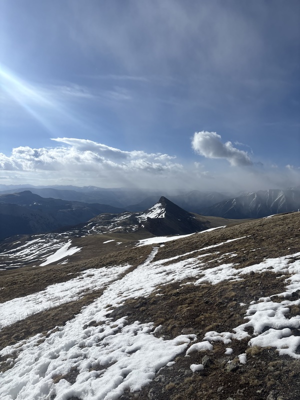
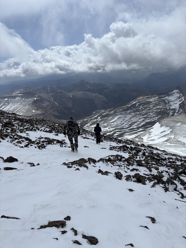
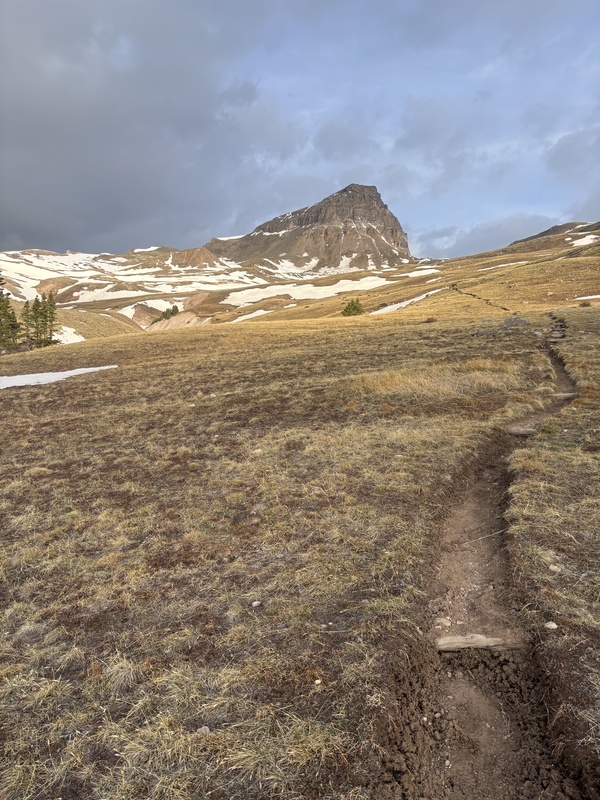
The trail to the summit is probably 70% snow free. Nice and hard on the way up and soft and somewhat muddy on the way down. We did have to cross a few snow fields which required post holing on the way down. Not fun but comes with the territory this time of year.

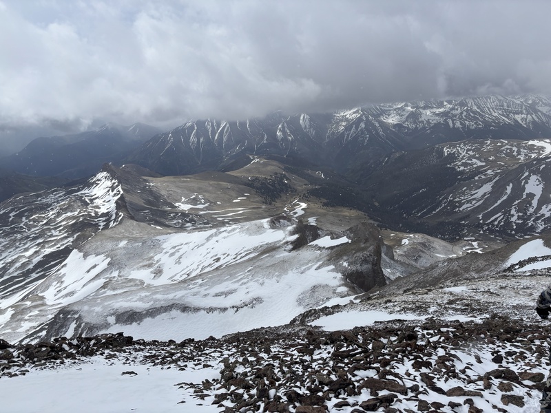
We made it to within about 260 yards of the summit when we encountered white out conditions. We decided to not summit and try another day. As we were putting our spikes on for the decent, the sky broke and we had a beautiful window so we ran to the summit as fast as we could. Made it back down to almost tree line when the next round rolled in.

By the time we got off Nellie Creek Road the sun was shining and it was almost hard to believe we just left a pretty good snowstorm.

We did not use spikes or any flotation for the climb up but did use spikes for the way down. Parts of the trail did have ice but it was easy to see before the snow rolled in. I think spikes for the decent would be ideal if you try to summit anytime soon.


Thumbnails for uploaded photos (click to open slideshow):
1 2 3 4 5


Comments or Questions
   Not registered?


Caution: The information contained in this report may not be accurate and should not be the only resource used in preparation for your climb. Failure to have the necessary experience, physical conditioning, supplies or equipment can result in injury or death. 14ers.com and the author(s) of this report provide no warranties, either express or implied, that the information provided is accurate or reliable. By using the information provided, you agree to indemnify and hold harmless 14ers.com and the report author(s) with respect to any claims and demands against them, including any attorney fees and expenses. Please read the 14ers.com Safety and Disclaimer pages for more information.

Copyright: Route information, text, risk factors, maps, GPX files, charts, photos, 14ers.com-created map imagery, flythroughs, and other content provided in this route description are copyrighted by 14ers.com and may not be copied, reproduced, republished, distributed, modified, or used to create derivative works without prior written permission.
Please respect private property: 14ers.com supports the rights of private landowners to determine how and by whom their land will be used. In Colorado, it is your responsibility to determine if land is private and to obtain the appropriate permission before entering the property.