Log In 
Report Type 
Mini
Peak(s)  Castle Peak  -  14,274 feet
Conundrum Peak  -  14,037 feet
Date Posted  05/19/2026
Date Climbed   06/04/2025
Author  GVOLDCLIMBS
 Castle And conundrum Summer day   

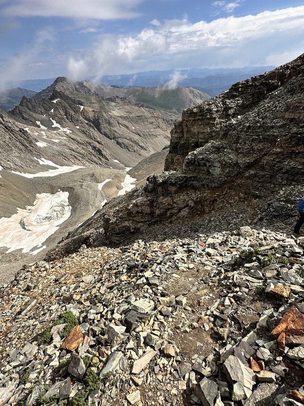
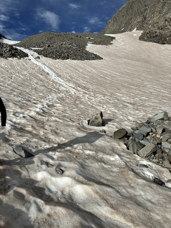
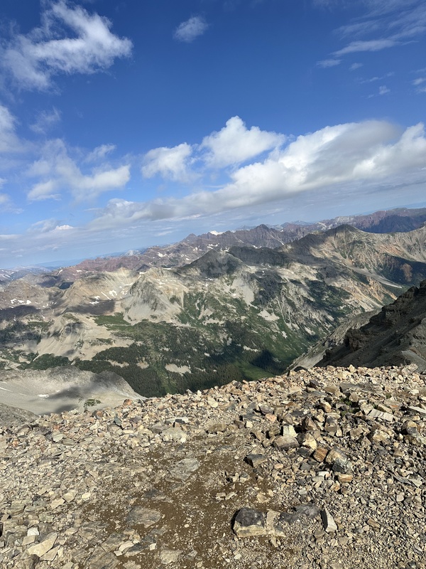
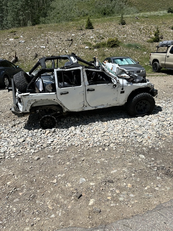
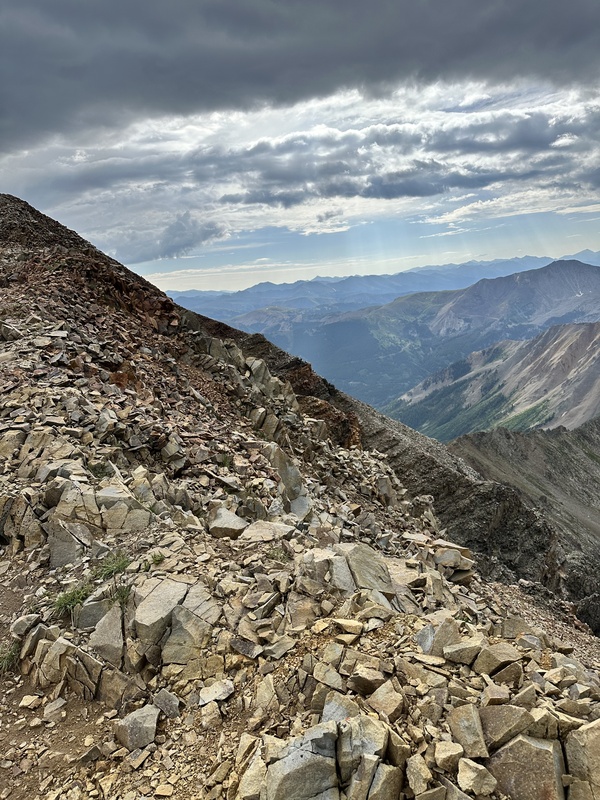
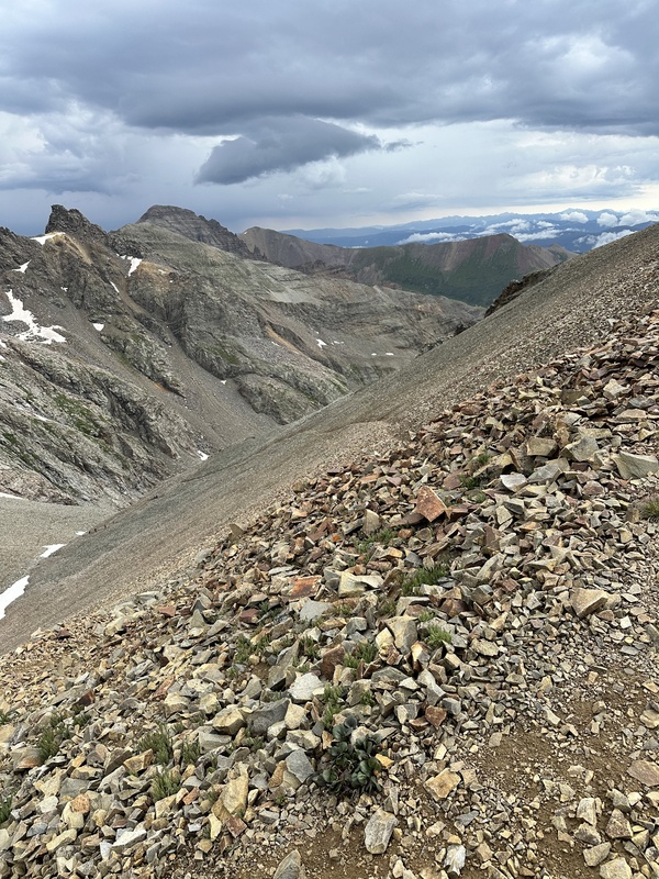
Started the drive from Aspen at around 5:30. The road was clear the whole way up with definite 4WD. Modded 4 runner made it to about 12,300 before pulling off on a switchback and parking for the day. Passed tons of people hiking up the road, very glad I could make it higher. Could have made it to the very top of the road, but didn't feel a need to. (passed a jeep that had rolled off the side of the road, which was a reminder to lock in while driving.) The trailhead at Pearl Pass intersection was completely packed, which is expected on a summer June day. Definitely arrive early if you want to secure a spot. Started hiking around 7:05 and hiked up the road for about .5 miles until reaching the top of the road. I decided to make the route a little bit more difficult and went up the far right of the scree field. Definitely fun, but not necessary by all means. The normal route still had patches of snow, so around June, I would still bring microspikes. Once I reached the crest and turned left, there were patches of snow on the trail, but not enough to posthole at all. Otherwise, made it to the top at around 9:20 and traversed over to the conundrum and summited around 9:50. On the way over to the conundrum, I encountered a group of trkking up the northwest ridge, which was very interesting. me. Not sure why you would put yourself through that loose scree pile of trash, but hey, to each their own. On the way down i decided to glissade the snowfield. Sooooo much fun.m Made it back to the car around 11:45. Overall, great day, and the only thing I would say is that early June definitely brings microspikes.


Thumbnails for uploaded photos (click to open slideshow):
1 2 3 4 5 6


Comments or Questions
   Not registered?


Caution: The information contained in this report may not be accurate and should not be the only resource used in preparation for your climb. Failure to have the necessary experience, physical conditioning, supplies or equipment can result in injury or death. 14ers.com and the author(s) of this report provide no warranties, either express or implied, that the information provided is accurate or reliable. By using the information provided, you agree to indemnify and hold harmless 14ers.com and the report author(s) with respect to any claims and demands against them, including any attorney fees and expenses. Please read the 14ers.com Safety and Disclaimer pages for more information.

Copyright: Route information, text, risk factors, maps, GPX files, charts, photos, 14ers.com-created map imagery, flythroughs, and other content provided in this route description are copyrighted by 14ers.com and may not be copied, reproduced, republished, distributed, modified, or used to create derivative works without prior written permission.
Please respect private property: 14ers.com supports the rights of private landowners to determine how and by whom their land will be used. In Colorado, it is your responsibility to determine if land is private and to obtain the appropriate permission before entering the property.