Download Agreement, Release, and Acknowledgement of Risk:
You (the person requesting this file download) fully understand mountain climbing ("Activity") involves risks and dangers of serious bodily injury, including permanent disability, paralysis, and death ("Risks") and you fully accept and assume all such risks and all responsibility for losses, costs, and damages you incur as a result of your participation in this Activity.
You acknowledge that information in the file you have chosen to download may not be accurate and may contain errors. You agree to assume all risks when using this information and agree to release and discharge 14ers.com, 14ers Inc. and the author(s) of such information (collectively, the "Released Parties").
You hereby discharge the Released Parties from all damages, actions, claims and liabilities of any nature, specifically including, but not limited to, damages, actions, claims and liabilities arising from or related to the negligence of the Released Parties. You further agree to indemnify, hold harmless and defend 14ers.com, 14ers Inc. and each of the other Released Parties from and against any loss, damage, liability and expense, including costs and attorney fees, incurred by 14ers.com, 14ers Inc. or any of the other Released Parties as a result of you using information provided on the 14ers.com or 14ers Inc. websites.
You have read this agreement, fully understand its terms and intend it to be a complete and unconditional release of all liability to the greatest extent allowed by law and agree that if any portion of this agreement is held to be invalid the balance, notwithstanding, shall continue in full force and effect.
By clicking "OK" you agree to these terms. If you DO NOT agree, click "Cancel"...
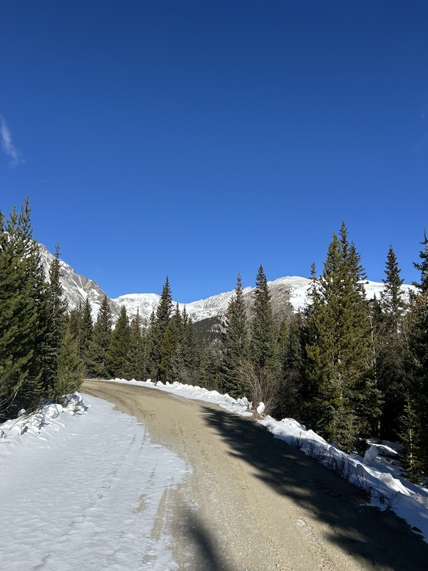
I arrived at the Quandry Peak parking lot at 8:50 and started hiking solo at 9am. The road is still closed for the winter season which required me to hike an extra 2 miles to the McCullough Gulch trailhead.
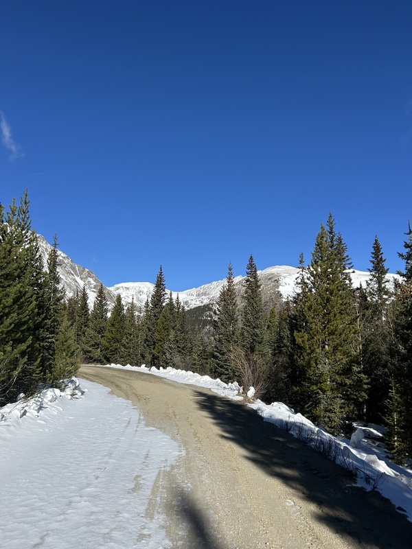
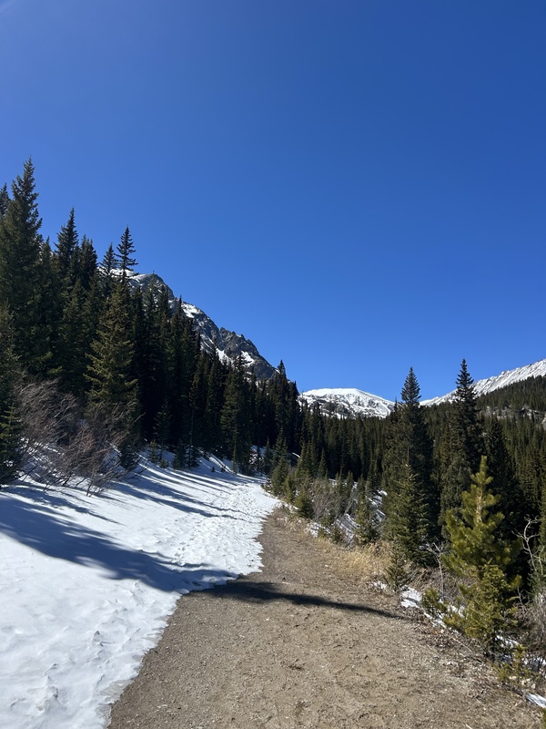
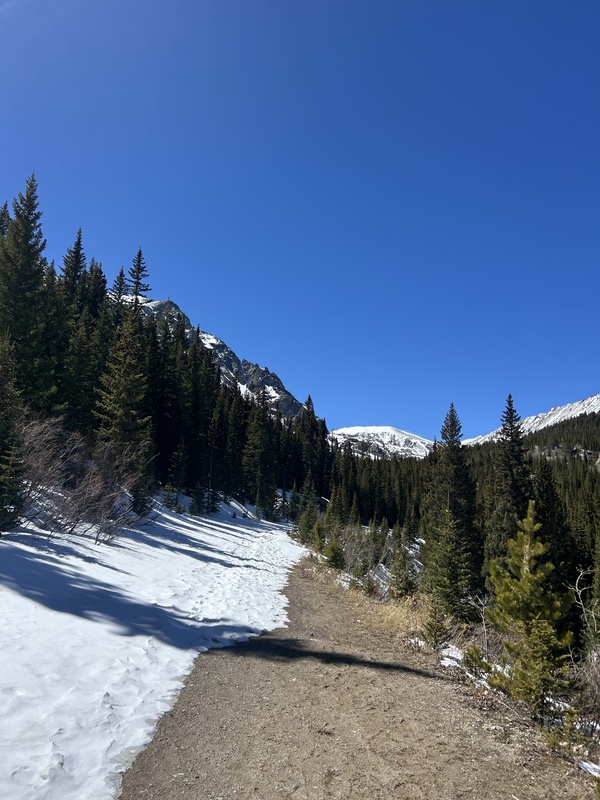
The road is fairly clear of snow and took about 30 minutes at a quick pace.
Access road to McCullough Gulch Trail Head.
There is a quick fork in the road to the right that will take you down more 2WD road until you reach a dead end where you can start your approach. I missed this turn and continued along the road straight until I reached the dead end that would take you to the McCullough Gulch Trail. If you do as I did, go off trail to the north and start bush-whacking through dense pine trees, aspens, and bushes. Stay adjacent to the road to avoid scrambling on boulders until you reach tree line where you can start making your way to the ridge.
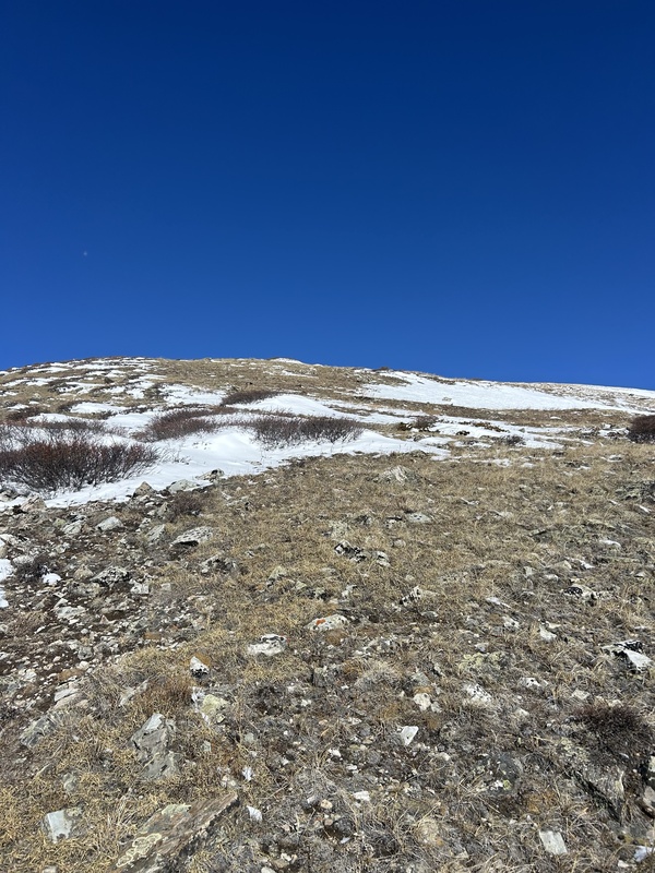
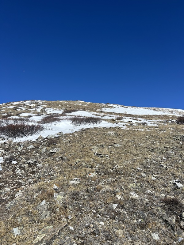
Once above tree line, it is easy route finding up grassy fields to the ridge.
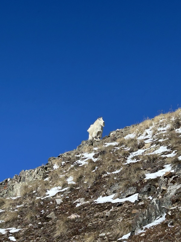
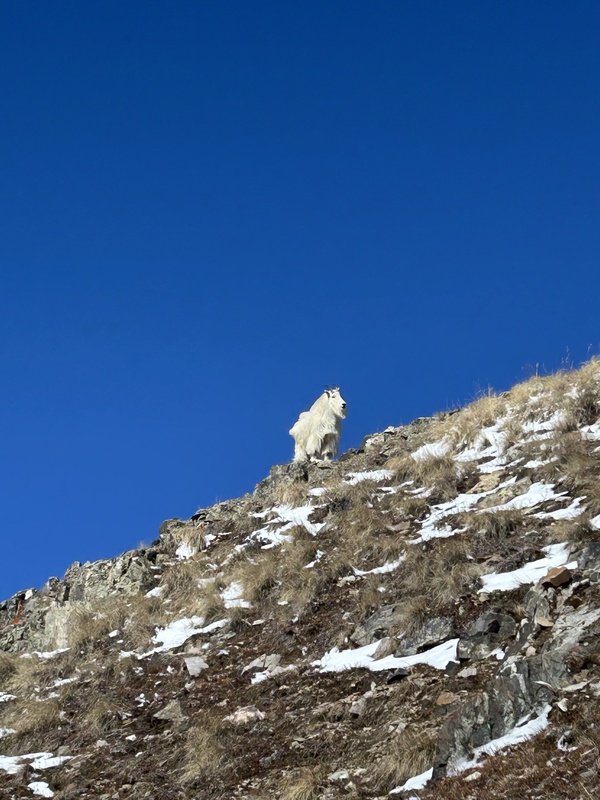
Above tree line heading east up to the ridge.Absolutely gorgeous mountain goat with his full winter coat I saw at about 12,000ft :)
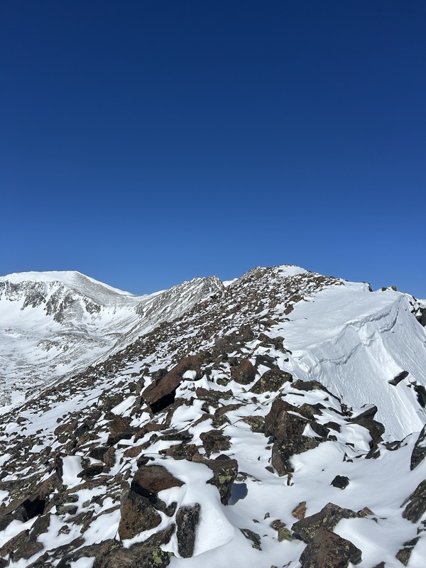
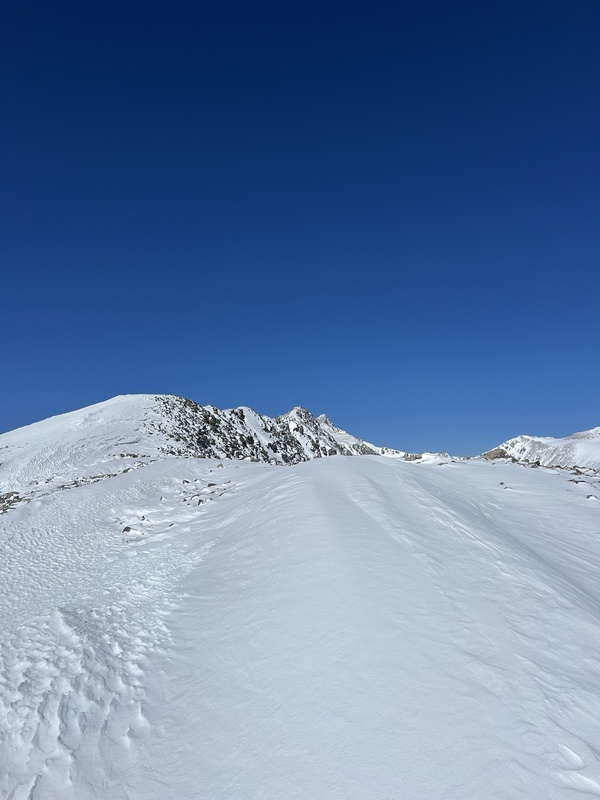
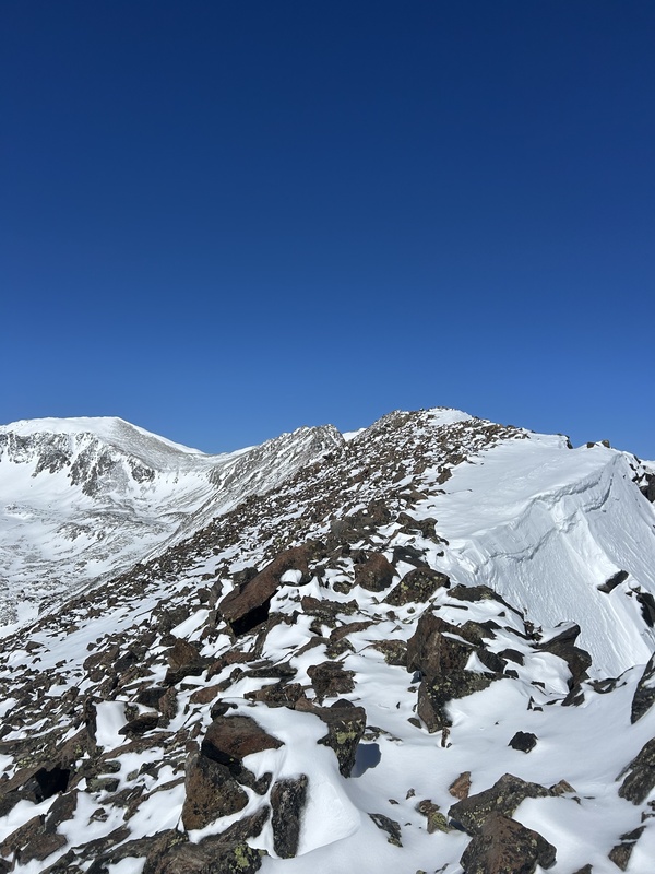
At about 12,500ft there is still snow at this time of year. This is the point I decided to put on my microspikes which allowed me to hike through the snow with little to no issues. Follow the highpoint of the ridge here until you make it to the sawtooth.
I got to the ridge and and started easy class 2 scrambling over good rock, stay on top or to the left of the highpoint of the ridge here. The first half of the ridge, about .6 miles, fairs well from overhead danger but this is the point I decided to put my helmet on.
Class 2 scrambling over good rock leads you to the crux
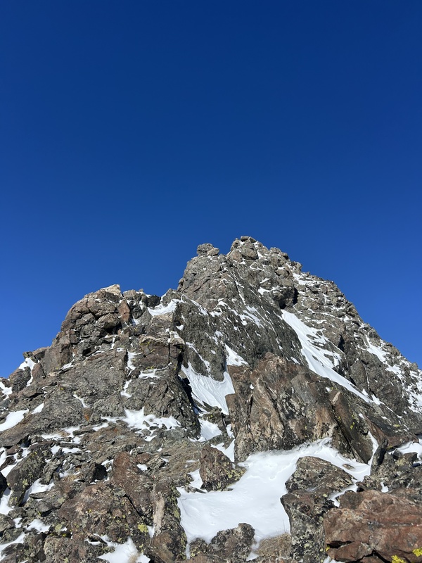
A short class 3 down climb will lead you to the crux. The next half of the ridge, (the sawtooth) is another .6 miles and requires good route finding capability and ridge negotiating. Mainly class 2/3, but if theres still snow a few low class 4 moves will need to be taken into consideration. Take your time across the ridge, a fall to either side could be catastrophic.
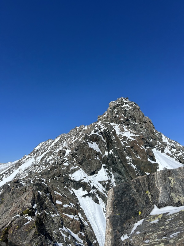
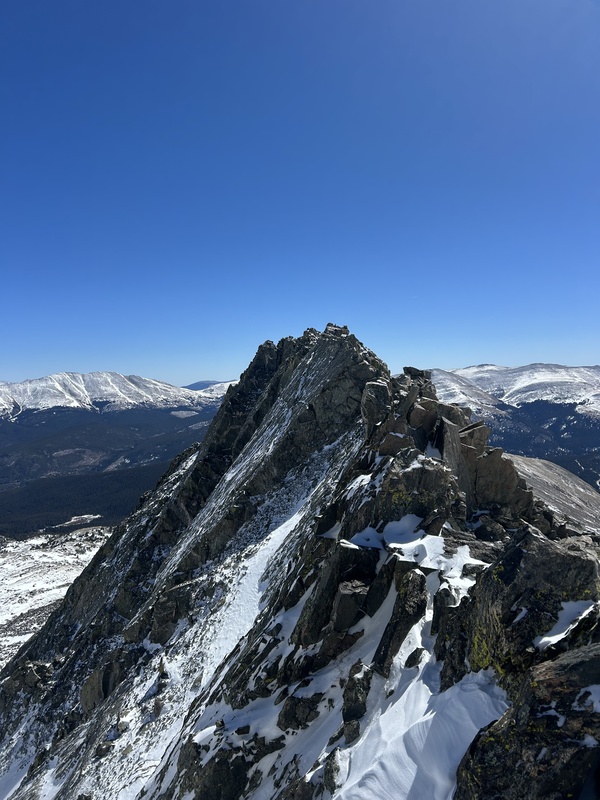
At the point of the crux, avoid going over the first sawtooth. Opt to stay left about 20 feet under the high point.
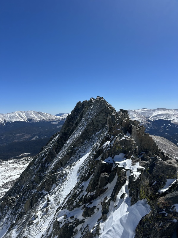
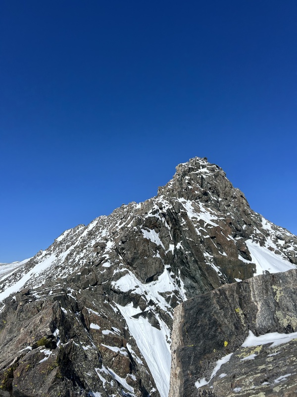
Just after the short down climb, steep cliffs to the rightLooking back at the first sawtooth
I failed to take pictures of the next two sawtooths as I was focused on route finding and ridge negotiating. There will be 2 more saw tooths like the one pictured before. At the second, stay left and avoid going directly over, the rock is suitable to scramble just underneath.
The third and final will require a short climb up right of the tooth followed directly by scrambling back over to the left. Down climb left and do not stay on top of this last saw tooth or you will get cliffed out.
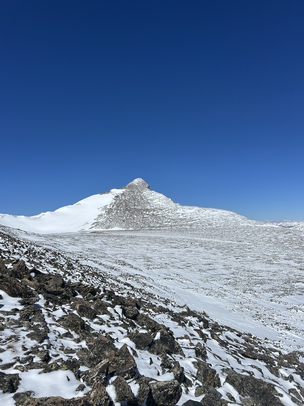
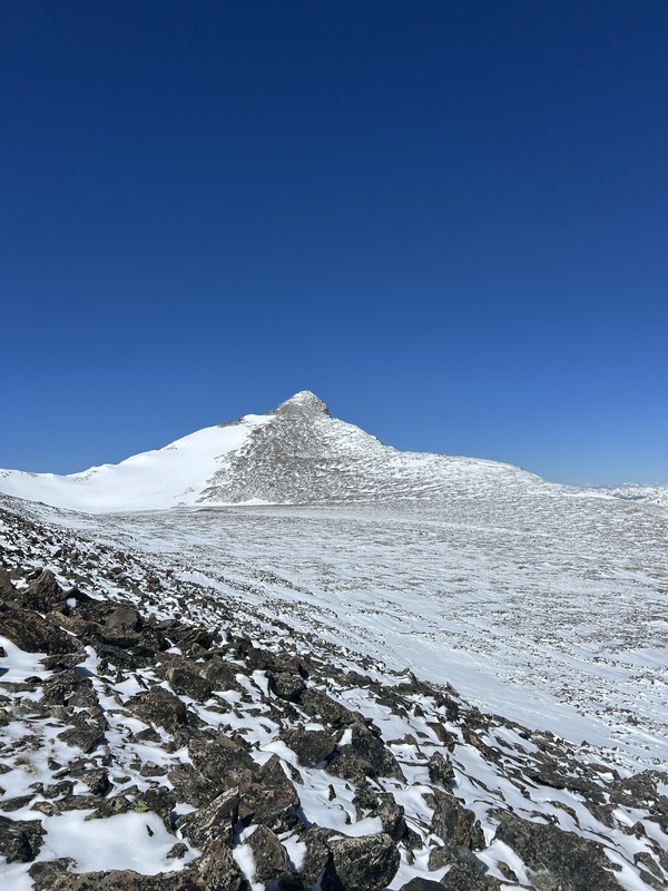
Once off the ridge it is a simple walk across the grassy field, to the start of the final ascent of Pacific Peak. I stayed in the middle of this basin and hiked directly up the loose scree field to the peak. With the added on 2 miles of 2WD road, to the peak was 6 miles and took just under 3 hours.
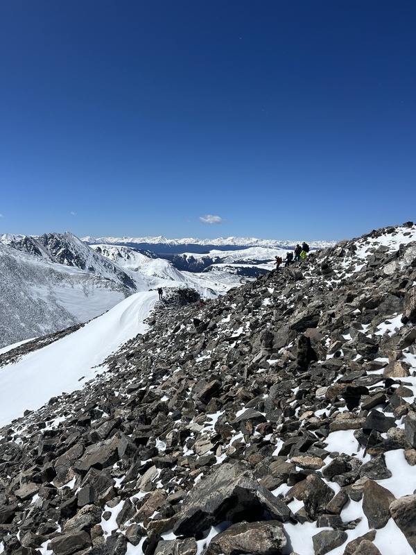
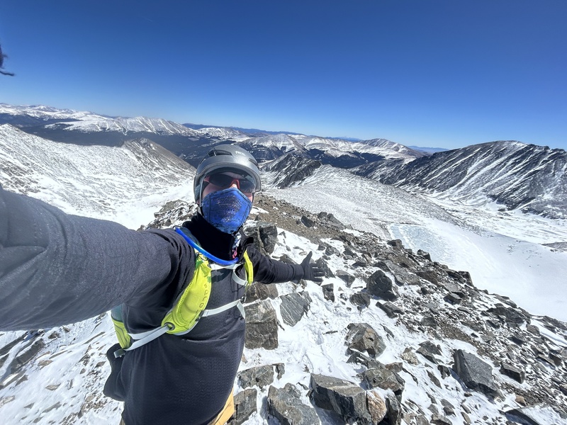
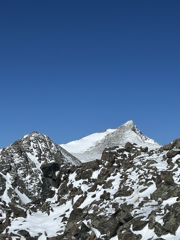
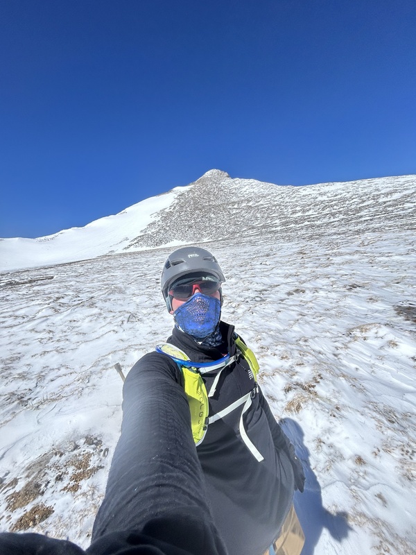
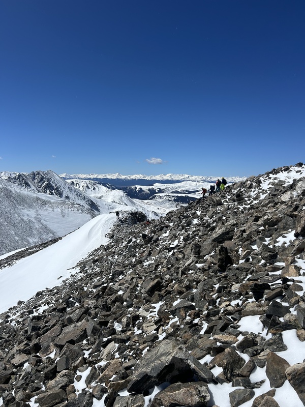
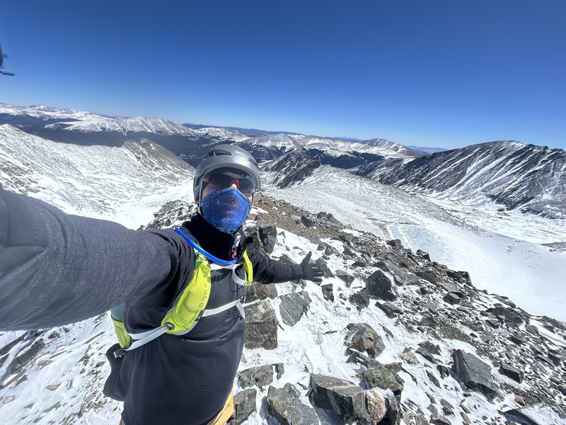
View of Pacific Peak right after the ridgeSaw another group of hikers descending Pacific Peak on my way up. They came from the west ridge and had a similar experience to mine.Selfie at 13,957ft!
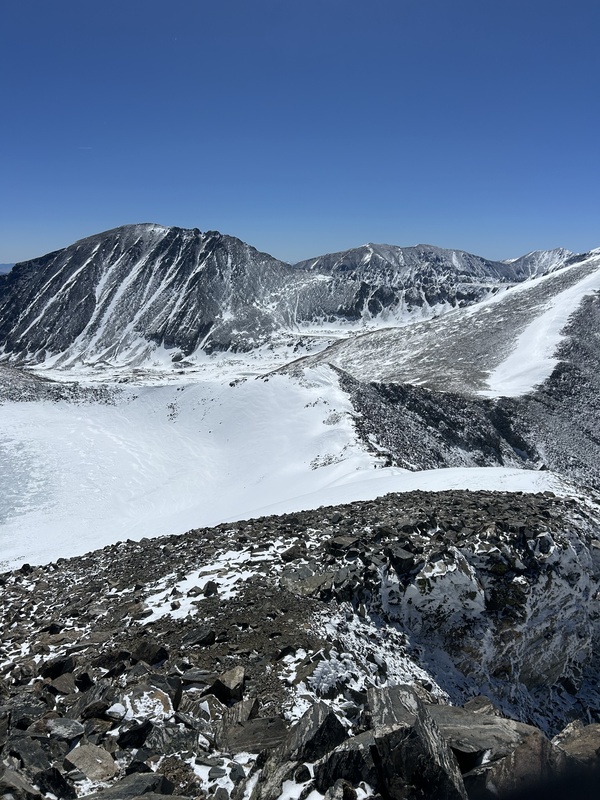
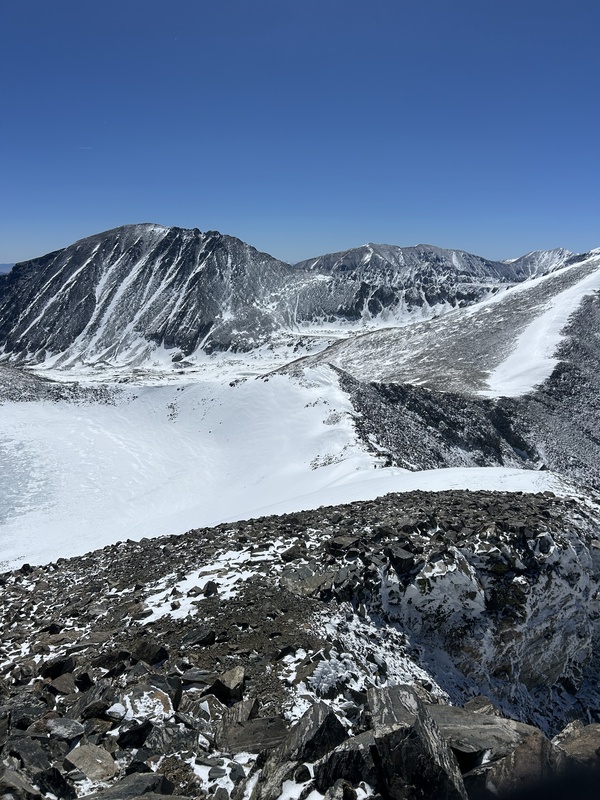
I chose to not go back the way I came across the east ridge and descend Pacific peak south to the saddle of Pacific and Atlantic Peak.I followed the ridge connecting the 2 peaks which was much more snowy but still an easy traverse down, there were even a few little glissades along my descendent. Stay along the ridge here above Pacific Tarn until you crest the over to the south side of the ridge.
Descending Pacific Peak along this south ridgeTraverse right around this connection of ridges
From here you can also tag Atlantic peak but considering my late start I chose to head back down through McCullough Gulch.
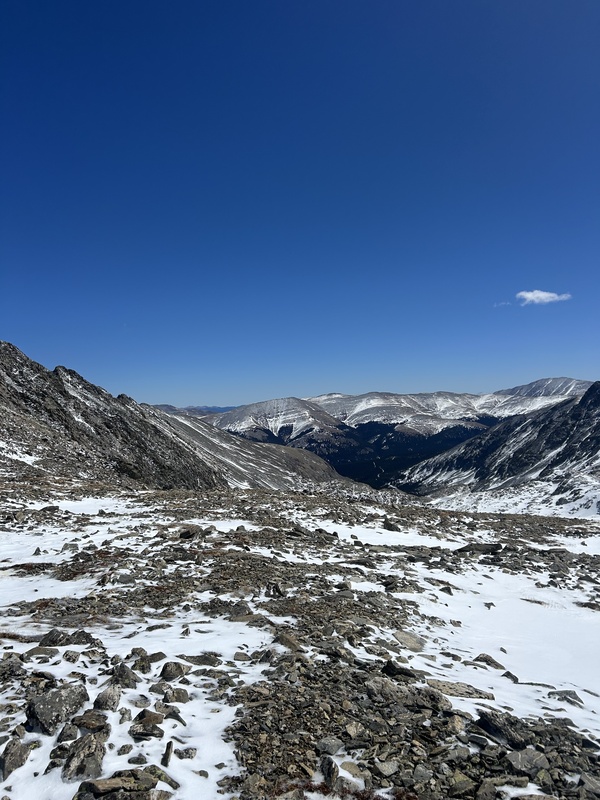
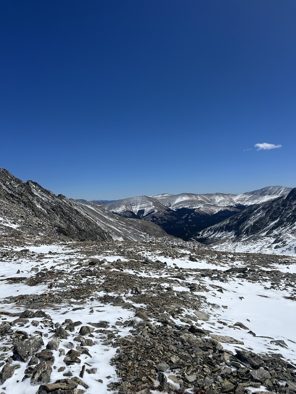
Between the saddle, make your way down and to the right across the field making your way to a steep gully that will put you into McCullough Gulch.
Starting my way down between the saddle
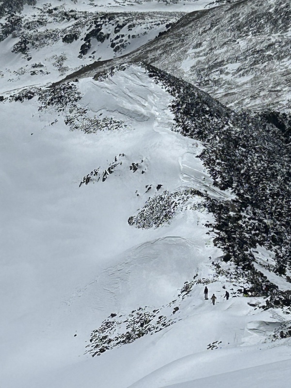
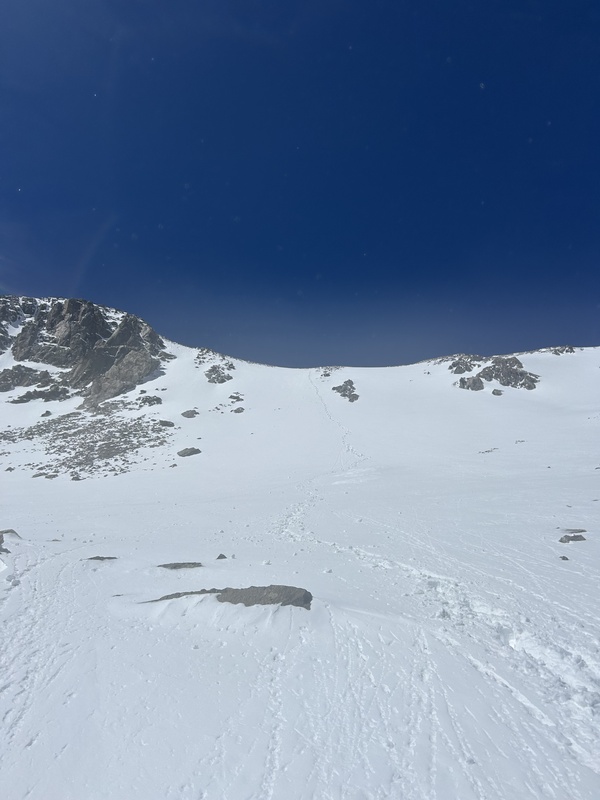
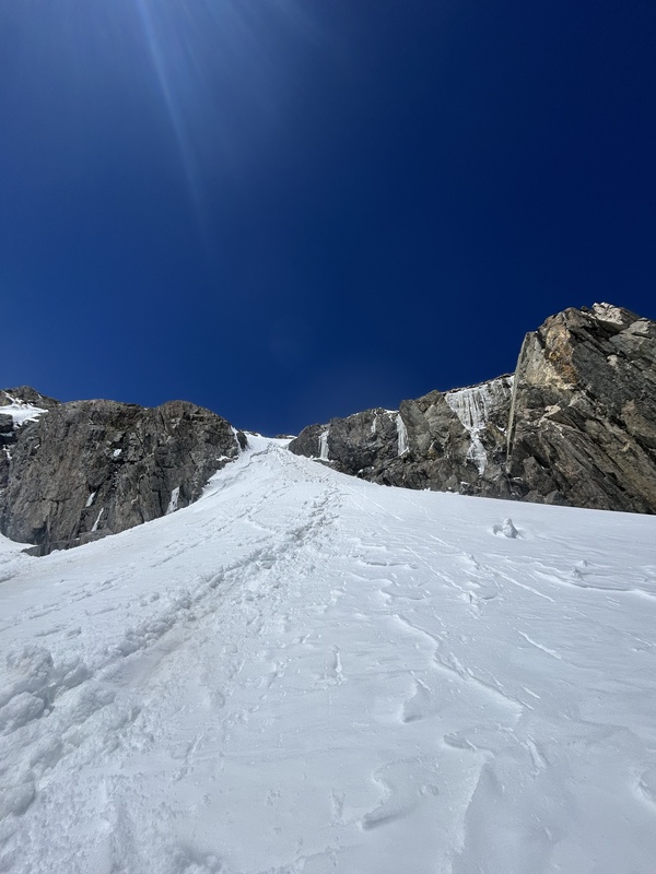
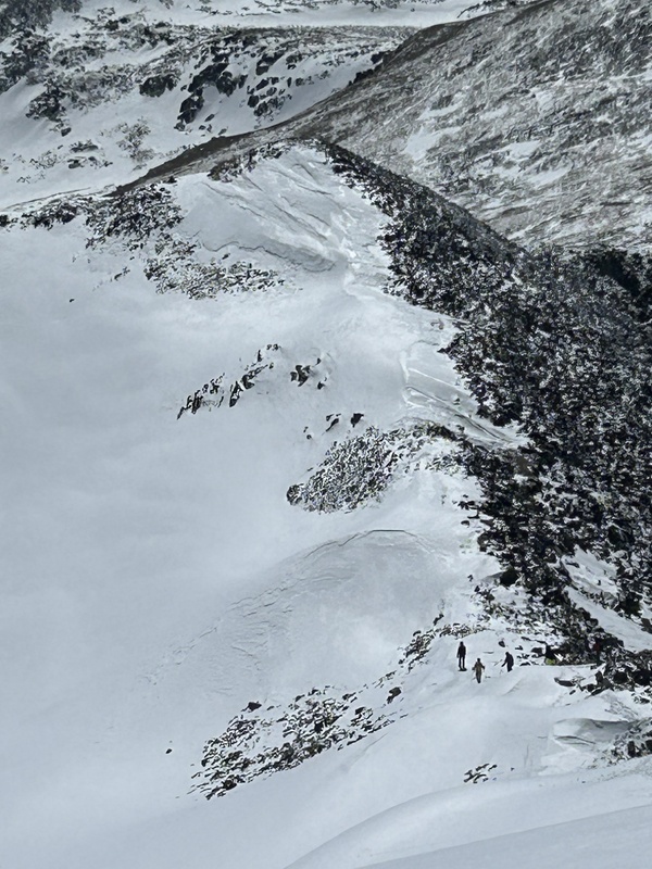
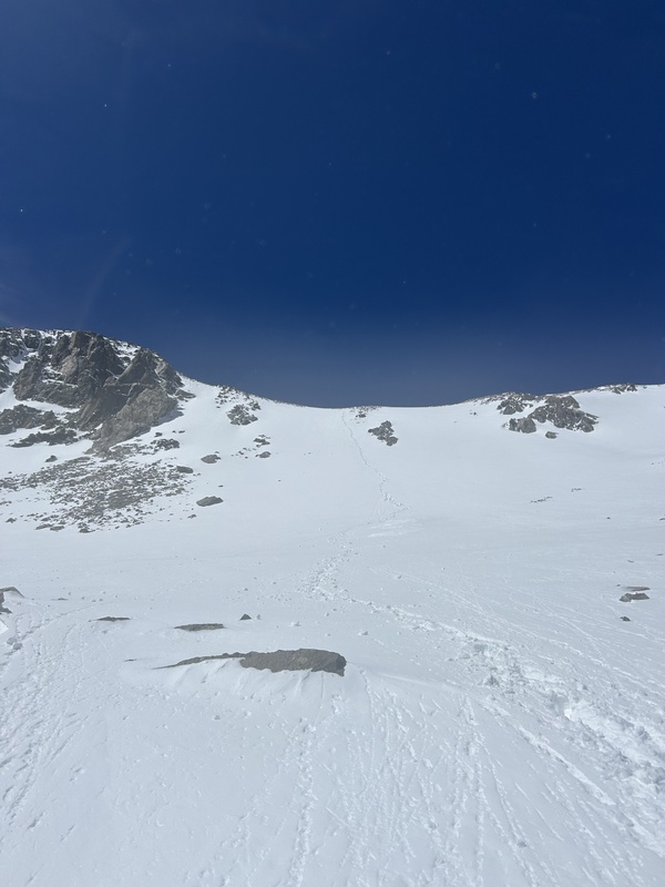
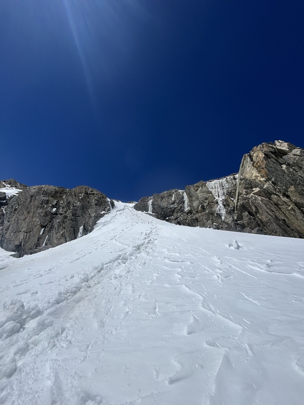
Descend the gully 100ft. This is still very snowy and had my nerves up for fear of avalanches. I predict later in the season switch backing down would be a viable option, but with the amount of snow I simply took it one step at a time directly down the gully.
Looking back at the snow covered gully
Once down the gully continue right of the unnamed lake and down into the gulch. You will continue down for another 1.3 miles off trail. There are sections through the high part of this gulch that can lead you to being cliffed out so choose your route careful. I had to downclimb a steep hard packed snow chute that was less than friendly
Kicking in my own steps.
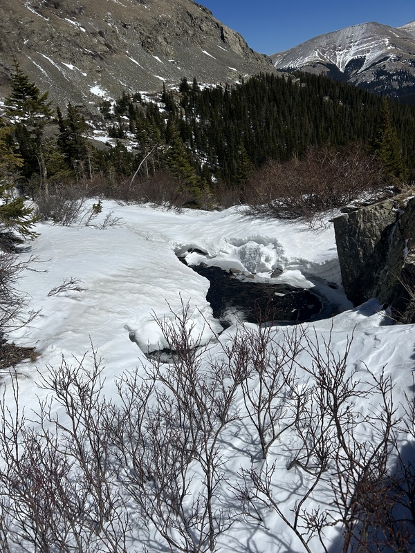
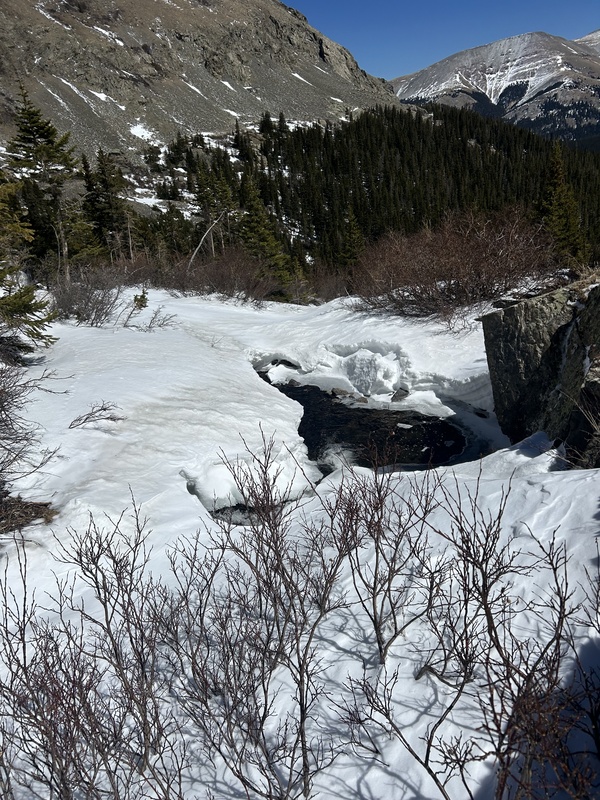
After these small cliffs the route finding because much easier. Look for another lake shaped like a body with a head. It is here you can reconnect with the trail. If early or late season and the trail is still covered in snow like it was for me, follow the creek from the lake 1.5 miles back to the road.
Found the creek:)Looking back at my accomplishment from the road
I ran the last 2 miles back on the road and finished the hike with my Garmin on 3%. Round trip was 12 miles and took 5 hours and 52 minutes. If thinking of doing early or late season with snow I would highly recommend microspikes and always bring your helmet.
Happy hiking:)
Thumbnails for uploaded photos (click to open slideshow):
Comments or Questions
Caution: The information contained in this report may not be accurate and should not be the only resource used in preparation for your climb. Failure to have the necessary experience, physical conditioning, supplies or equipment can result in injury or death. 14ers.com and the author(s) of this report provide no warranties, either express or implied, that the information provided is accurate or reliable. By using the information provided, you agree to indemnify and hold harmless 14ers.com and the report author(s) with respect to any claims and demands against them, including any attorney fees and expenses. Please read the 14ers.com Safety and Disclaimer pages for more information.
Copyright: Route information, text, risk factors, maps, GPX files, charts, photos, 14ers.com-created map imagery, flythroughs, and other content provided in this route description are copyrighted by 14ers.com and may not be copied, reproduced, republished, distributed, modified, or used to create derivative works without prior written permission.
Please respect private property: 14ers.com supports the rights of private landowners to determine how and by whom their land will be used. In Colorado, it is your responsibility to determine if land is private and to obtain the appropriate permission before entering the property.