| Report Type | Full |
| Peak(s) |
Humboldt Peak - 14,068 feet Mt. Lindsey - 14,055 feet Culebra Peak - 14,053 feet Red Mountain - 13,911 feet |
| Date Posted | 03/29/2026 |
| Date Climbed | 03/22/2026 |
| Author | evanc |
| Sangres Spring Break |
|---|
|
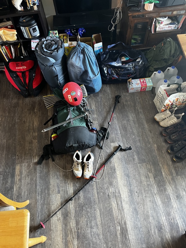
TLDR/Intro: I spent my spring break attempting to finish off the 14ers of the Sangres. I was 50% successful with that goal, summiting Humboldt, Lindsey, and Culebra. Additionally, I climbed the 13ers Wheeler Peak (NM) and Red Mtn. This report is mainly to share photos and antics with friends and family. Day 1, Sunday, 3/22/26 I was nervous to begin my first solo peakbagging trip, given how the last one went when I did have company (badly sprained ankle on day 1). I had spent the entire day prior packing all my gear and double checking I had everything. 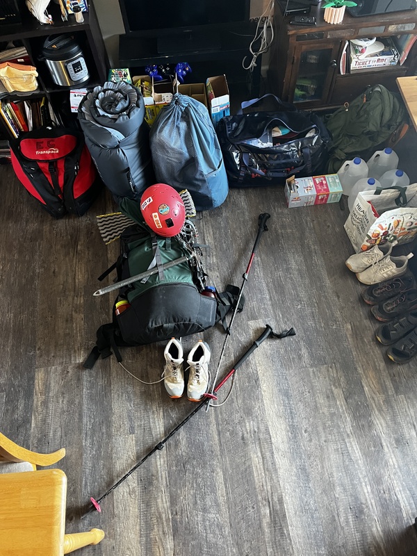
Now it was time drive south. Three and a half hours spent listening to King Gizzard and the Lizard Wizard later led me to the South Colony Lakes 2wd trailhead. Two other cars were parked there, which eased my nervousness a bit. I wouldn't be entirely alone in the mountains today. 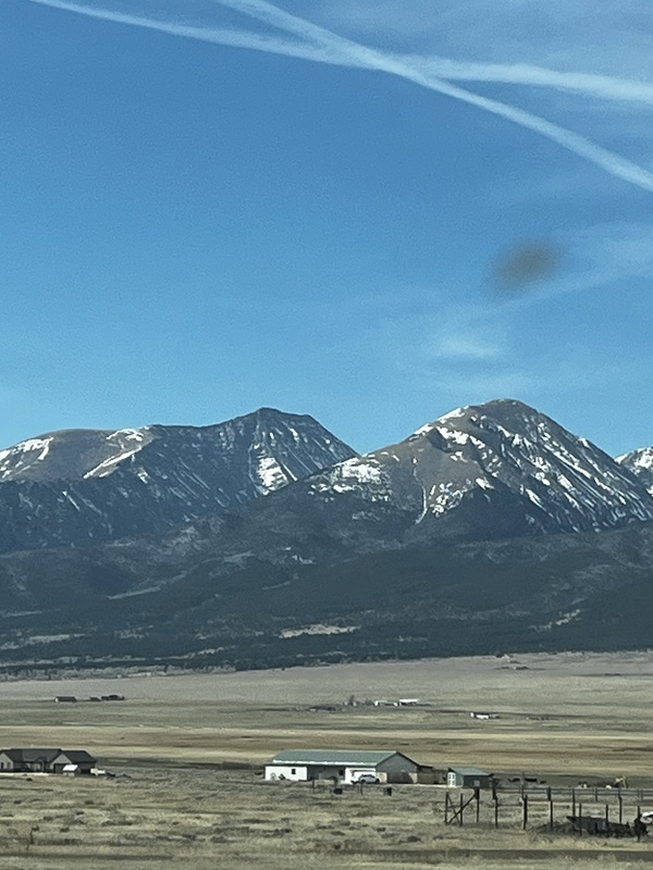
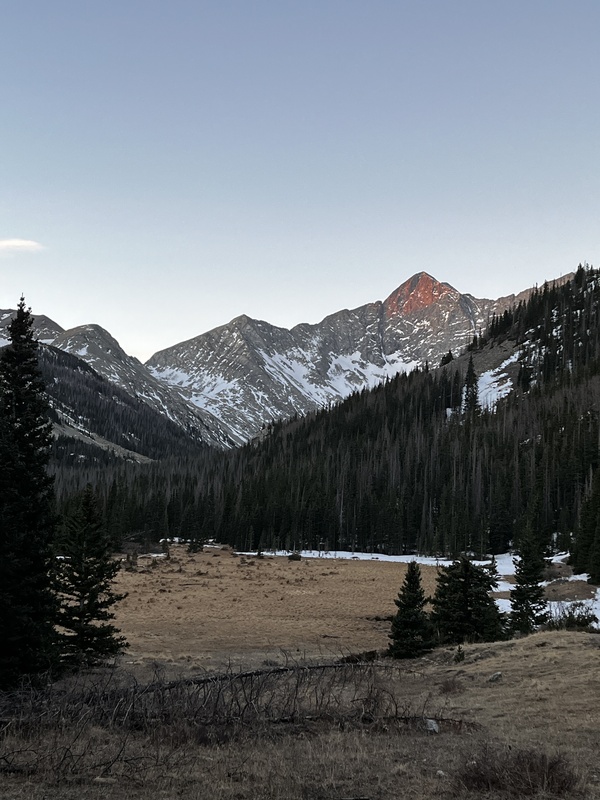
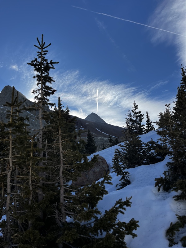
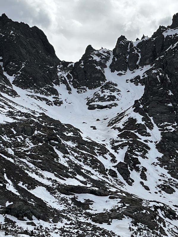
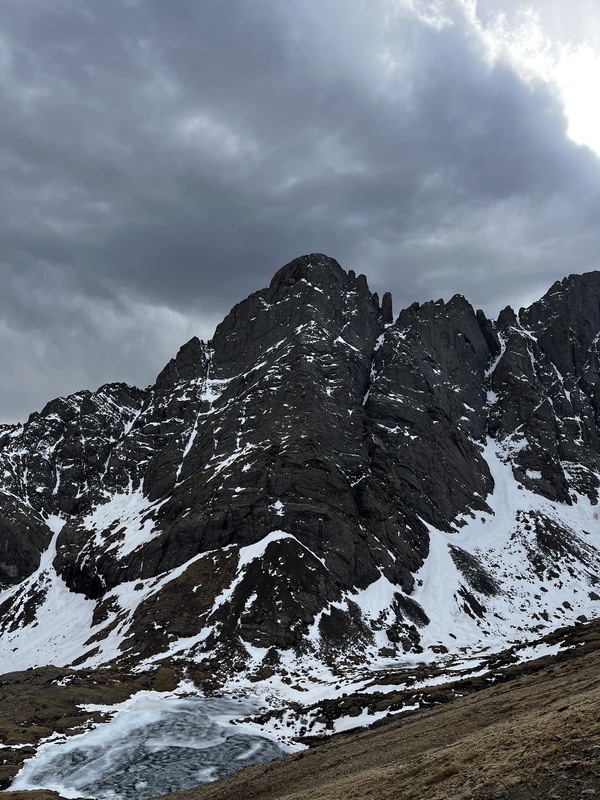
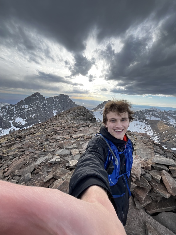
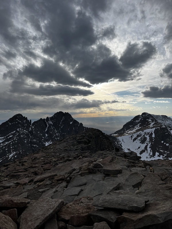
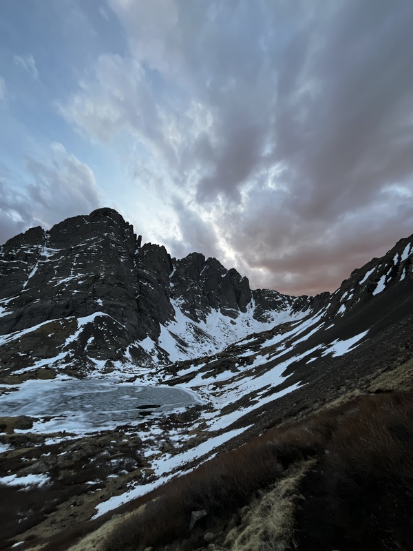
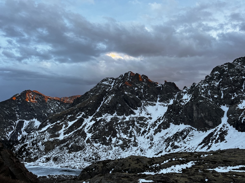
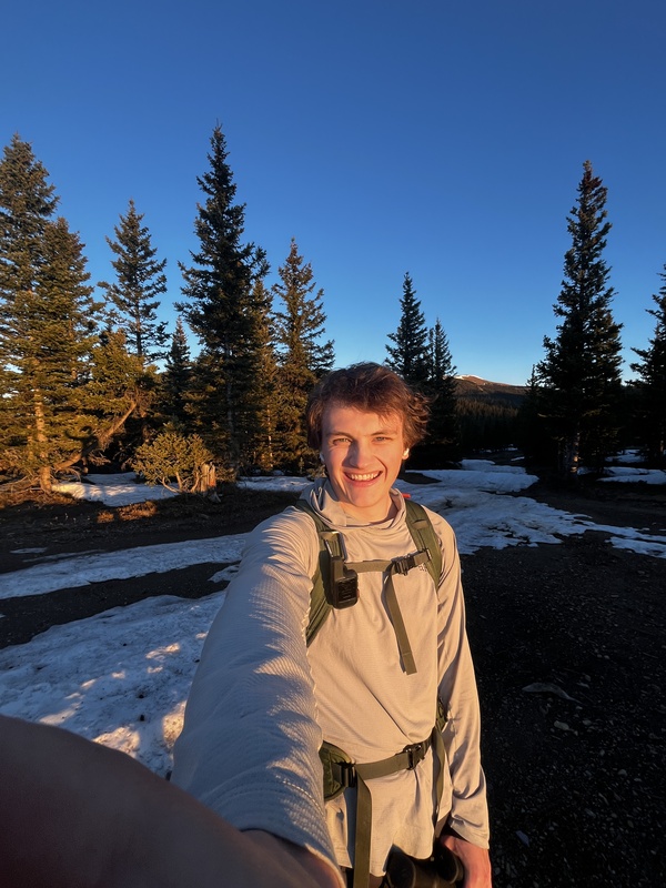
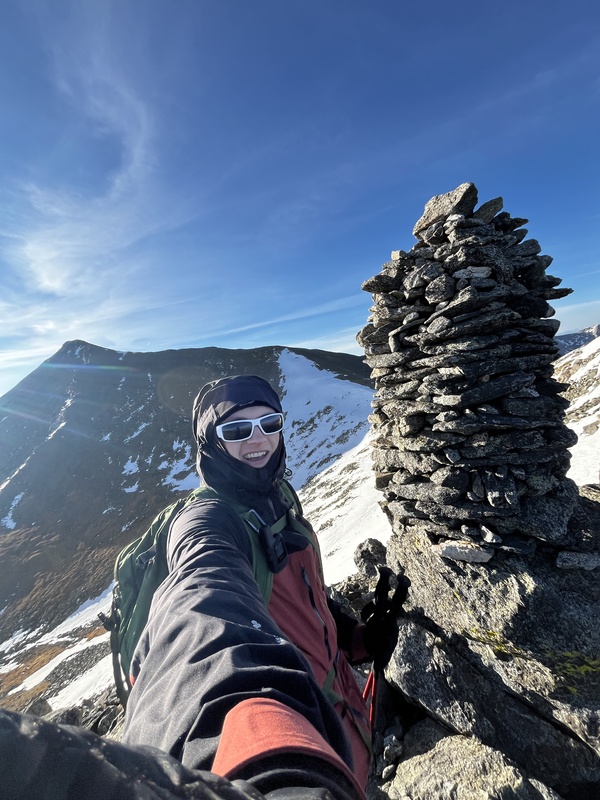
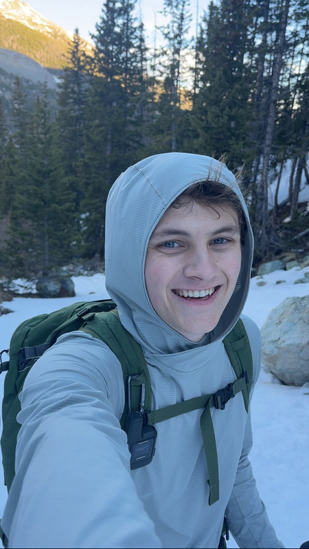
The initial plan: On Day 1, I would backpack in to South Colony Lakes, dump the heavy gear, and quickly summit Humboldt Peak before the sun set. Then, on Day 2, I would make my way up and over Broken Hand Pass and make an attempt at Crestone Peak's Red Gully. After descending the Peak, I would climb the Crestone Needle as well, descending back to camp at the lakes before dark. Based on my energy, I would then either descend to the car on the night of Day 2, or early in the morning of Day 3. What actually happened: I began the hike to the lakes around 10:40am on Day 1. My bag was pretty heavy, as I was prepared for two nights and steep snow travel. I hadn't backpacked since I was in Boy Scouts, about 9 years ago, and I re-learned quickly why every ounce saved matters. Regardless of the pack's weight, I trudged my way up the valley. I reached the 4wd trailhead about an hour after I started walking, and the highest trailhead after another hour and a half. At this point, much more snow covered the single track trail, and snowshoes became necessary to avoid total wallowing. This slowed my pace significantly, and I took another two hours to reach the middle of the three lakes, where I planned to camp. After dumping my heavy gear, I bushwhacked my way down to the lake, which had a small section that was melted to filter some water. Around 4pm, I began the hike to summit Humboldt. At the saddle of the west ridge, I ran into creatures that were shaped like mountain goats, but were colored like bighorn sheep. I'm guessing they were young bighorn sheep that didn't have full horns yet. Having not been above 13k' for at least a month, I was definitely feeling the burn near the top of Humboldt. I reached the summit around 6pm. I enjoyed the views of the Crestones and the valleys on both sides of the Sangres. 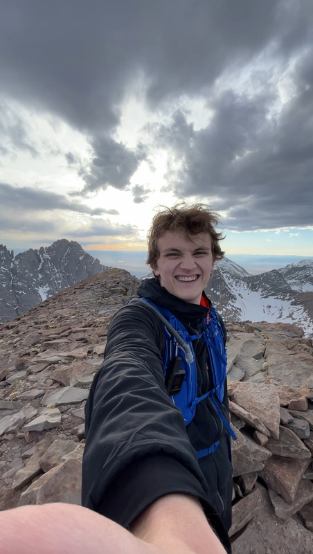
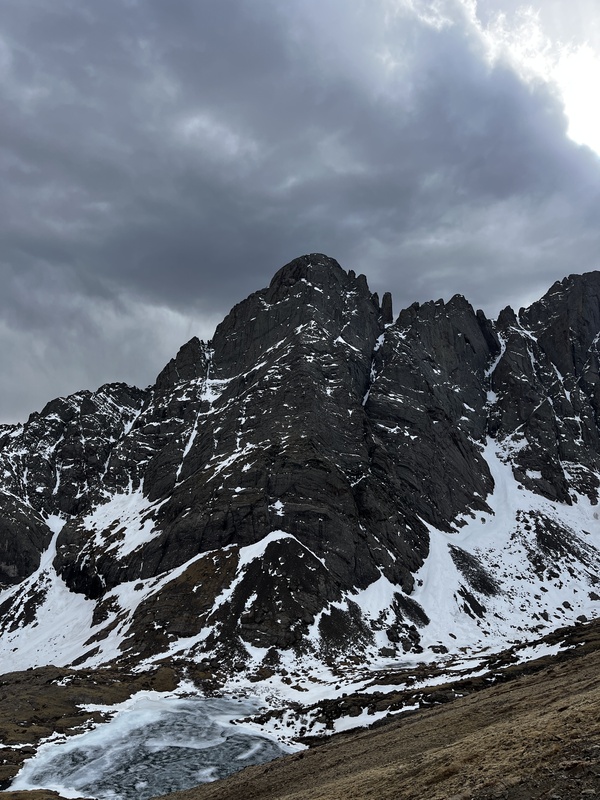
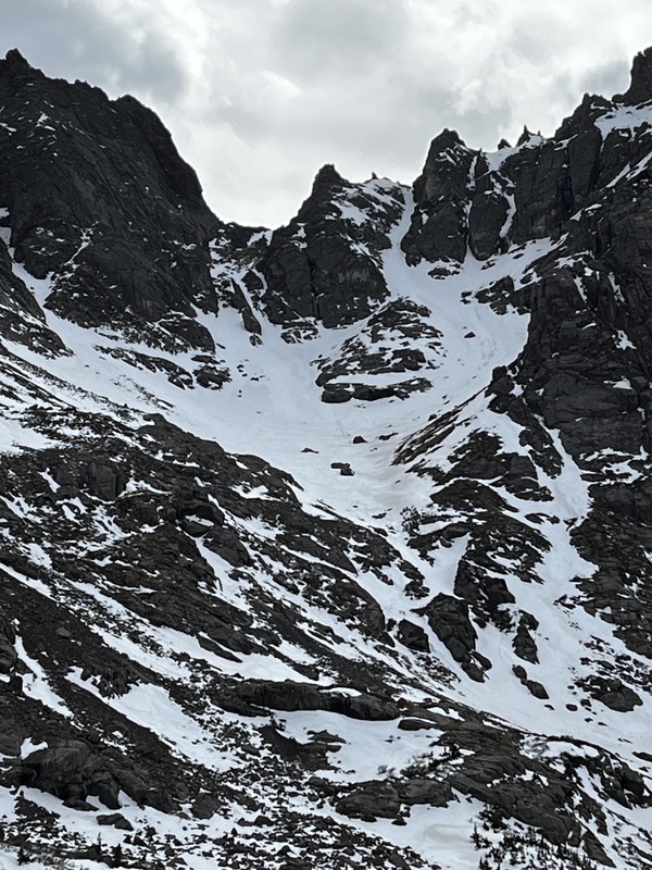
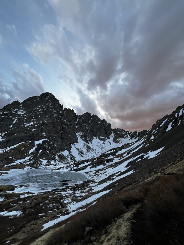
I quickly began my descent, not wanting to set up camp in the dark. On the way down, I ended up having to cross snowfields that I had avoided on the way up. The postholing was rough and I reached camp around 8pm soaking wet, just as the last light was leaving the sky. 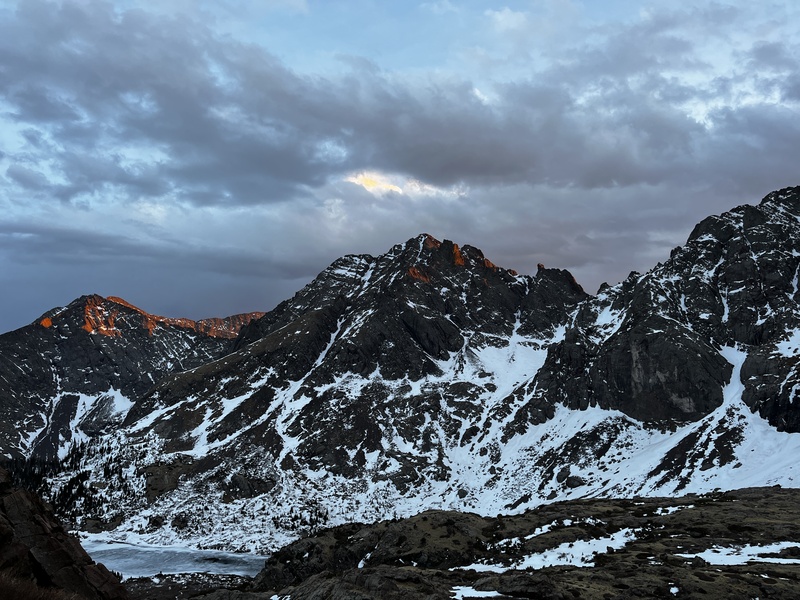
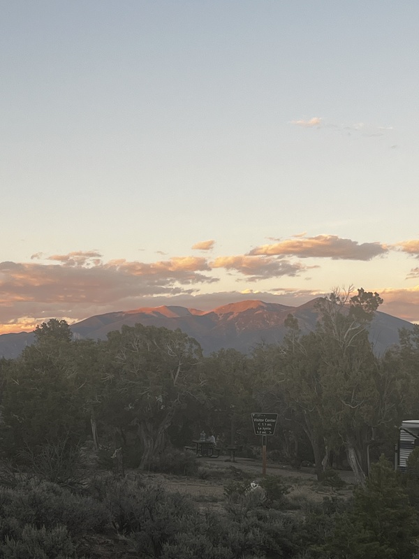
At camp, I started by setting up the bivy I rented from my school's outdoor rec center. It seemed simple enough at first, but after 20 minutes, I could not get the thing to stand upright. The pole was seemingly only contained on one side and wasn't supported by any other feature on the bivy. I gave up on that task for the time being and started cooking dinner, which I knew would take a while to rehydrate, being camped at 11,700'. While my dinner rehydrated, I continued messing with the bivy to little success. Eventually, I gave up and settled with a slightly floppy arrangement that would hopefully be comfortable enough. My pasta was still a bit crunchy after almost 20 minutes of rehydration. At this point, having stared at Broken Hand Pass all day, I made the decision to skip out on attempting the Crestones the next day. BHP had a lot more snow than I was expecting, and since I didn't bring crampons, I didn't want to mess with a lot of steep snow. I figured I could come back in full summer conditions and link the two via the Crestone Traverse. I settled into the bivy around 9pm under an initially clear and calm sky. First, I noticed how uncomfortable the ground was. There were grassy knobs and rocks that didn't let me find a comfortable side sleeping position. I am not a back sleeper. I rustled around and alternated between positions after they began hurting too much. Every time I moved, I began breathing really heavily and couldn't return to homeostasis for at least 10 minutes. I suspect this was due to the elevation and my nose being congested. Into the night, I shuffled and shifted sleeplessly. Around midnight, I rolled enough that the Tyvec sheet that served as the bivy footprint was able to wander off into the bushes under a light breeze. I chased it down, this time weighting the corners with my snowshoes and wet boots. I really hoped above all things that my boots would dry by the morning, even if I got only a few hours of sleep. After this, I fell into about an hour of sleep, before waking up again and shuffling around. This happened about 2 more times between 1 and 5am. As the morning hours continued, the wind began picking up significantly, adding loud flapping of the bivy and Tyvec sheet to the list of things keeping me awake. At 6am, I gave up on sleep and got out of the bivy, still in darkness. I slept for about 3 hours out of the 9 I attempted. Day 2, Monday, 3/23/26 I packed up the sleeping kit and began getting things out to make breakfast. However, the wind was really rough and only seemed to get worse with each gust. My hands were really cold and I was mentally very ready to leave. So I decided to just start walking, and figured I would make breakfast on the trail once I got out of the wind. Thankfully, the wind and cold night had made the snow between the lakes and the high trailhead mostly solid. I started around 7am and made good time down the trail and out of the valley, only stopping for a snack when I took my snowshoes off. I reached my car around 10:30am and enjoyed the lack of wind with a sandwich I had prepared before the trip. At the car, I took about an hour to dry things out in the sun and reorganize gear from backpacking mode into car camping mode. By bailing on the Crestones, I freed up the rest of Day 2 to rest and relax before attempting Mt. Lindsey on Day 3, which I definitely needed after that first night. I then drove to near the trailhead for Mt. Lindsey and set up camp at a great spot near the Huerfano River. I spent the afternoon reading Training for the Uphill Athlete, which I had grabbed in anticipation of its relevance to my trip and future mountain goals. 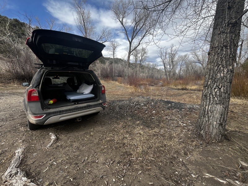
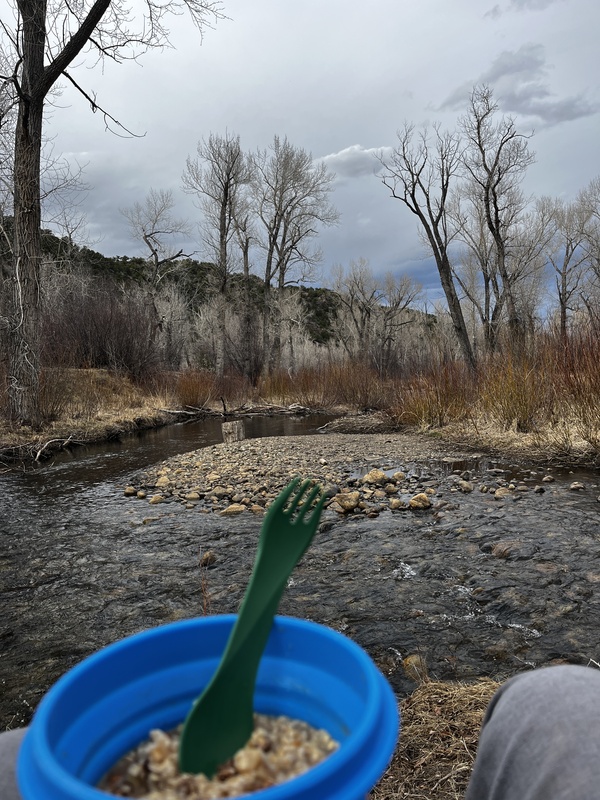
Dinner was enjoyed next to the Huerfano River. As an Oregonian, I would call this a creek. "River" is a pretty generous name in my opinion. 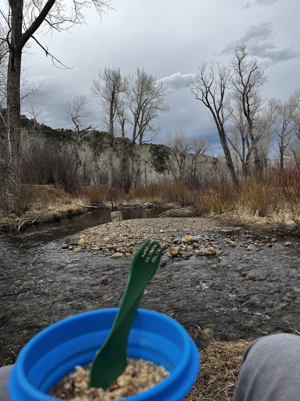
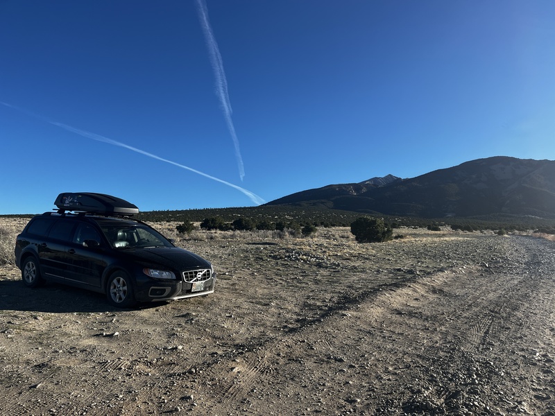
After an evening walk past the various campsites, I settled down into a much more comfortable mattress in my car. I was ready for a much more restful night. Day 3, Tuesday, 3/24/26 I woke up at 4:15am feeling so much better after a comfortable and complete night's rest. Breakfast was oatmeal and a RedBull. According to previous reports, the trailhead for Lindsey was blocked by downed trees just beyond the landslide area. I parked in an open area where I had seen a single Tacoma parked the previous day. I started walking around 6am, equipped with a much lighter pack than the day before. Progress along the road was quick, and I soon found the large fallen trees blocking the road. (These were seemingly cleared only a few days after I hiked Lindsey). Once past the actual trailhead, snow coverage was much more consistent. 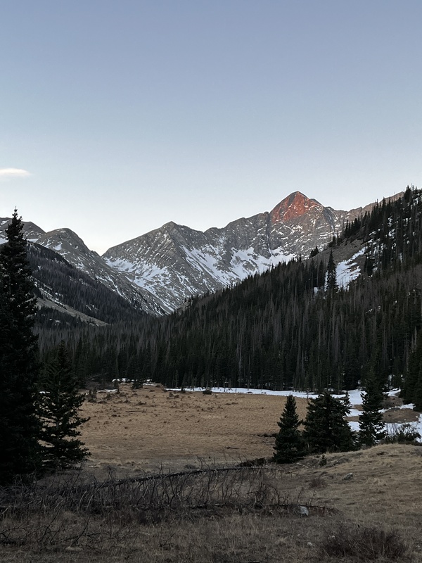
At the Huerfano River crossing, I put snowshoes on and began the arduous task of routefinding through the woods. The previously set trench disappeared and reappeared randomly and some snow was supportive and other snow collapsed easily. Eventually, I found my way into the gully leading to the upper basin. In the morning, the snow here was mostly solid, only collapsing once every few minutes of walking. At one point, I was unwillingly volunteered to dip my shoes in the creek that ran under the snow in the gully. Thankfully, this spot wasn't too deep and I was able to escape easily. A snow collapse over the creek in a different spot could have been much worse. 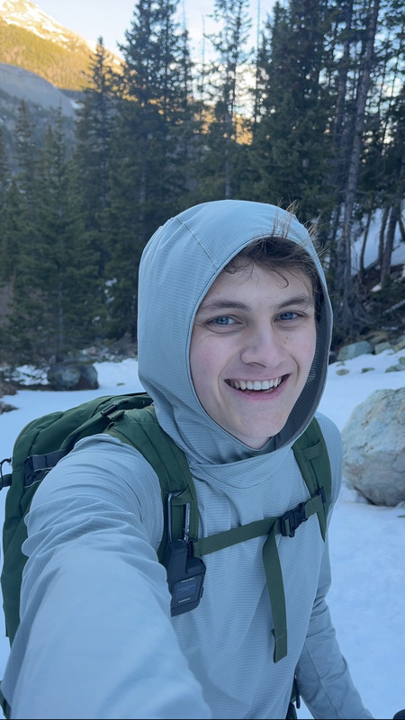
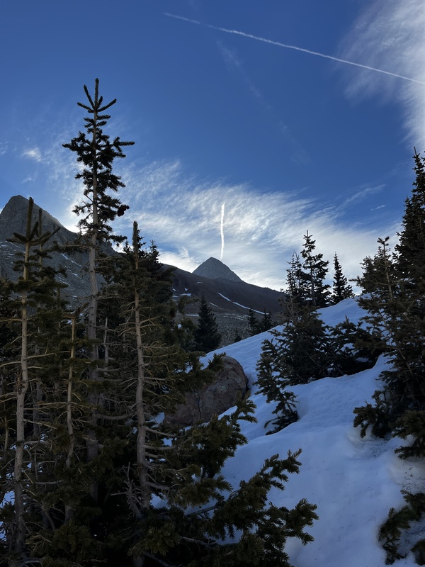
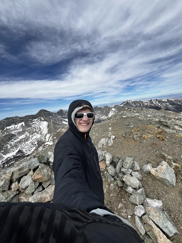
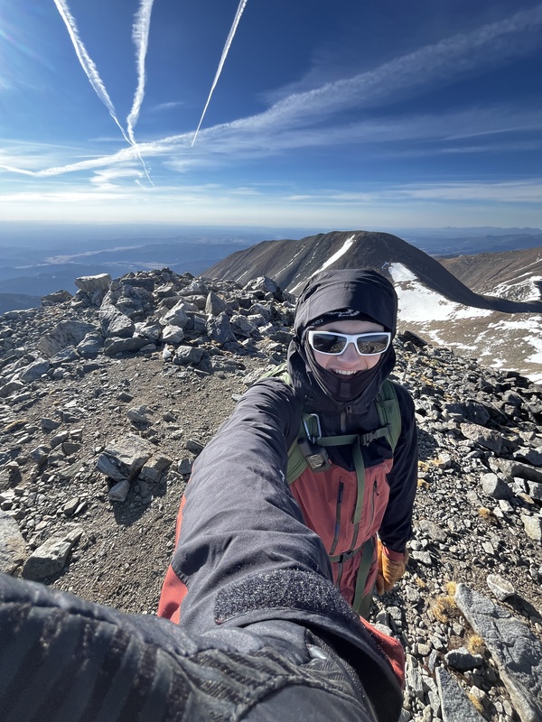
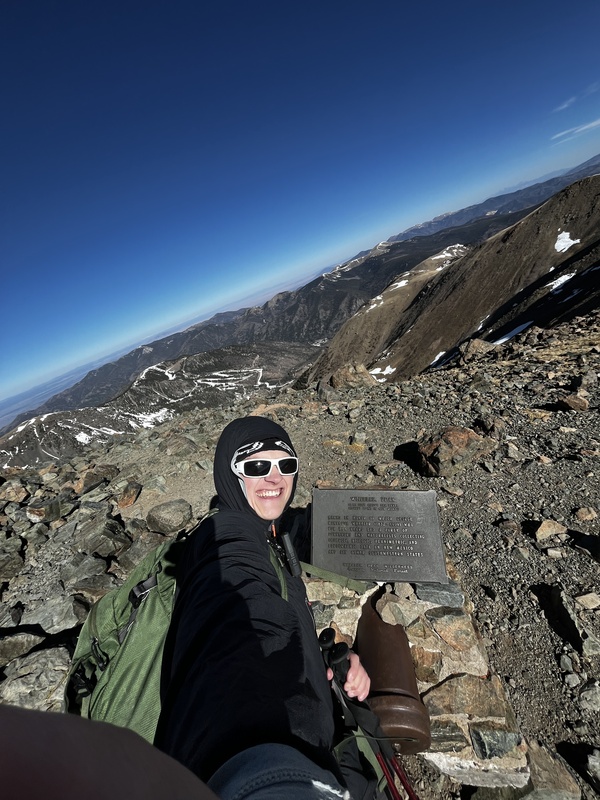
I made my way up the gully and through the upper basin without too much difficulty and eventually dropped my snowshoes around 12,300'. I made quick time up to the sign notifying hikers that they had to sign a waiver to continue to the summit of Lindsey, around 13,000'. I decided I would take the standard route up the last 1,000' of Lindsey, since I was hiking solo and didn't want to routefind a different route on the way down. The northwest gully of Lindsey is deceivingly challenging, and not in a fun way. It is filled with loose, head-sized rocks sitting on top of pebble sized scree. I did my best to stick to solid rock on the edge of the gully, but crossing loose rock was inevitable. The choke in the gully was filled with snow, so I opted to scramble a steeper section next to it. The gully crossings after ascending the main gully had some snow in them, so I put micro-spikes on for security. Again, a piece of gear that I rented from my school's outdoor rec center. Quickly, I realized both micro-spikes were missing links and were super floppy. One was fixable, the other was not. Thankfully, there wasn't too much snow to cross to reach the summit. After "scrambling" some more loose rocks and scree, I reached the summit ridge and subsequently, the summit around 10:45am. 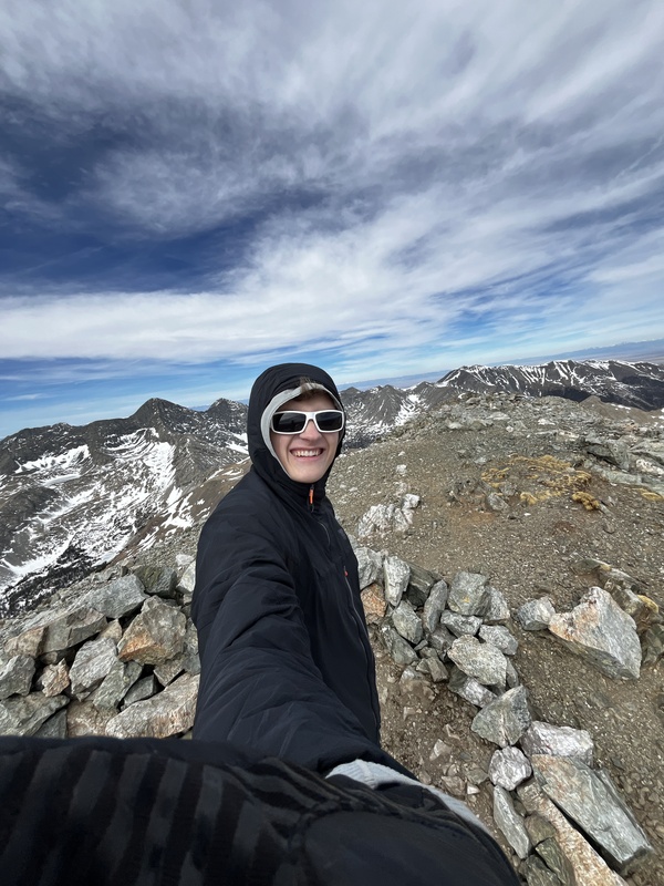
After enjoying views of the Blanca massif on the windy summit, I made my way slowly back down the loose gullies. In the main gully, I ended up downclimbing the snow in the choke, plunging my hiking poles into the snow upside down as a substitute for an ice axe. This provided minor security on the weird, inconsistent snow. Once out of the scramble section, I quickly descended back to my snowshoes and crossed the upper basin without too much post-holing. Then came the snow filled gully. This was hell to descend. Every 3rd step would sink me to my hips in the snow. Back in the trees near the Huerfano River, following the trail was practically impossible, with previous tracks meandering all over the place. With soaked feet, I made it back to the car around 3pm. I was tired after hiking three consecutive days, and was dreading the long day that lay ahead of me on Day 4, in which I planned to climb Ellingwood Point via the C2 couloir from the Zapata Falls approach. As I hadn't brought crampons, I was nervous about the north-facing couloir being doable in micro-spikes. I also didn't fancy potentially breaking trail on this less popular route. Regardless, my agenda was leading me into the San Luis valley, so I packed up my gear and made the drive to the town of Fort Garland. Parked at a gas station, I called my parents, updating them on the my trip so far and mulling over whether I would go for Ellingwood Point on Day 4. After a tasty burger at the Mountain View Diner, I made my way to the Lake Como Rd to car camp. I wasn't sure what free camping opportunities were available at the Zapata Falls trailhead, so I stuck with the familiar Lake Como Rd. One part of me also thought that I could find someone with a capable vehicle to drive me up the Lake Como Rd (at least to around 10,000') so that I didn't have to walk as far if I instead went for the standard route on Ellingwood, since more people had been packing down a trench in that basin. That night, I set my alarm for 4am and determined that a game-time decision would occur in the morning on whether I would go for Ellingwood. Day 4, Wednesday, 3/25/26 The game-time decision was made in favor of sleeping in. In fact, I slept in until the sun was blasting my face through my car's windshield at the perfect angle. I woke up at 8am, netting me almost 11 hours of sleep. I needed it! Ellingwood will have to wait for another trip. 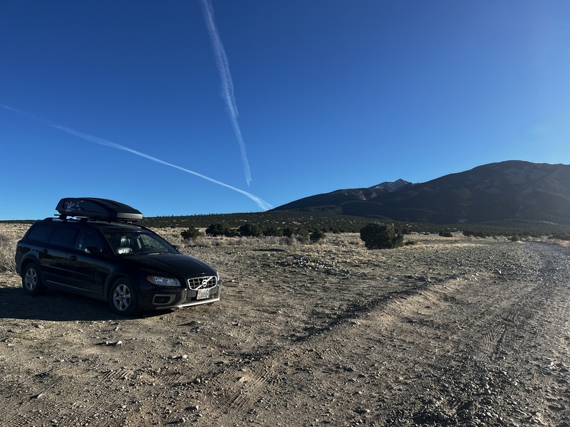
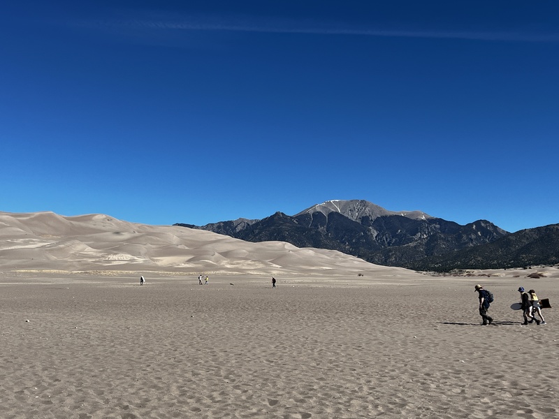
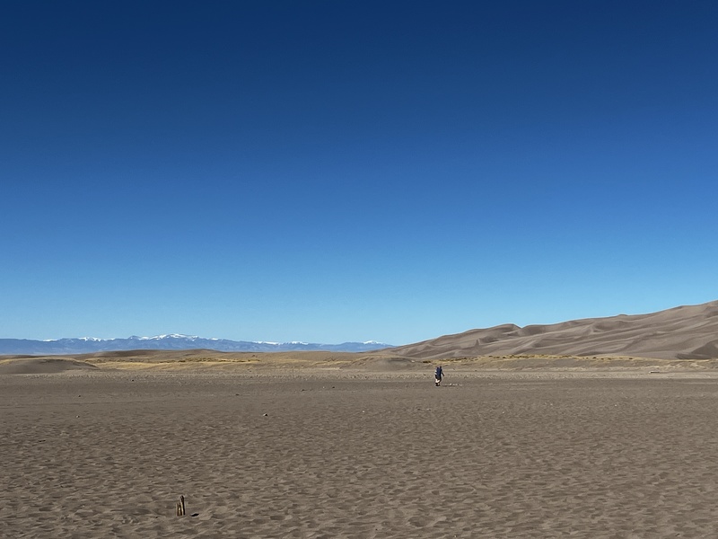
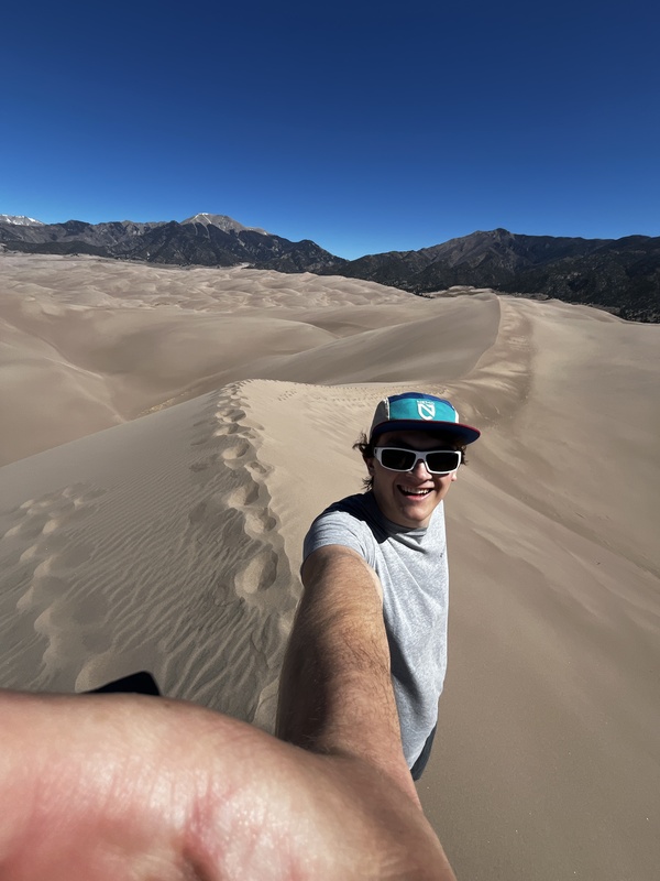
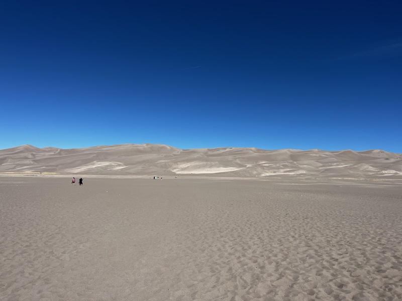
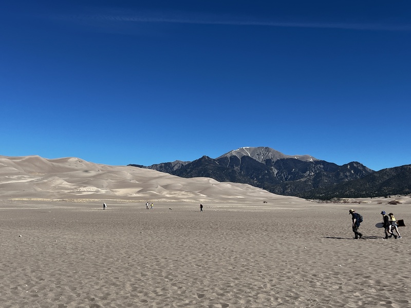
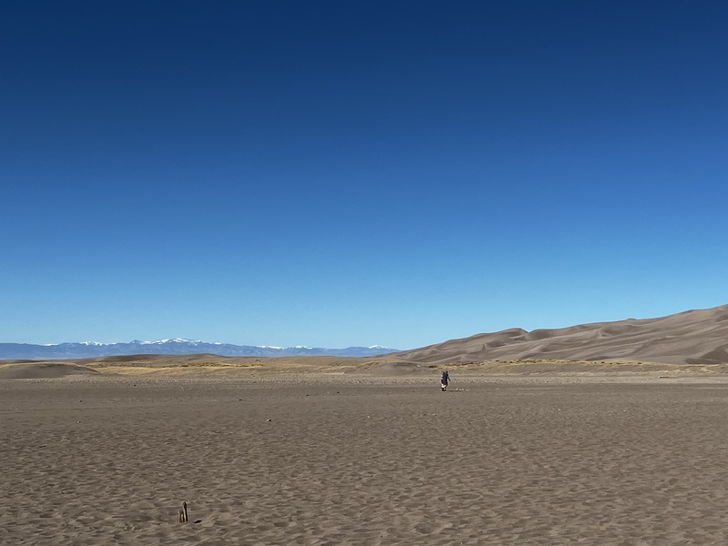
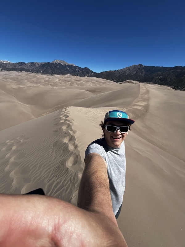
Day 4 was to be a rest day before I headed down to New Mexico to climb Wheeler Peak. Around 9am, I drove up to the Great Sand Dunes National Park, which I had only ever seen from atop the nearby 14ers. I checked out the visitor center and then made my way to the dunes. They were way cooler up close! I decided I had to climb to the tops of the dunes, despite it being my rest day. It took about 45 minutes from the car to reach the High Dune. I then ran straight down the steep dunes, taking only 15 minutes to reach my car! My shoes and socks were completely inundated with sand, so they were quarantined to the car roof box to be dealt with when I returned home. 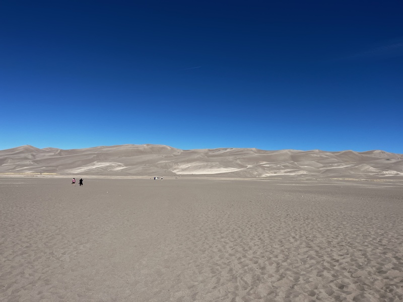
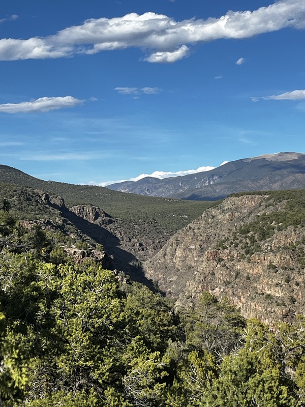
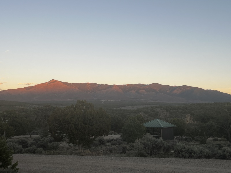
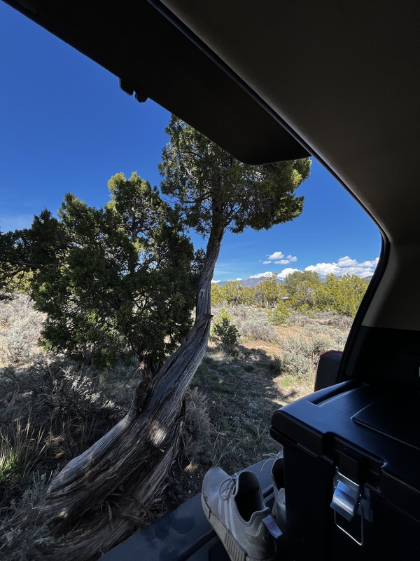
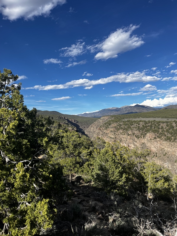
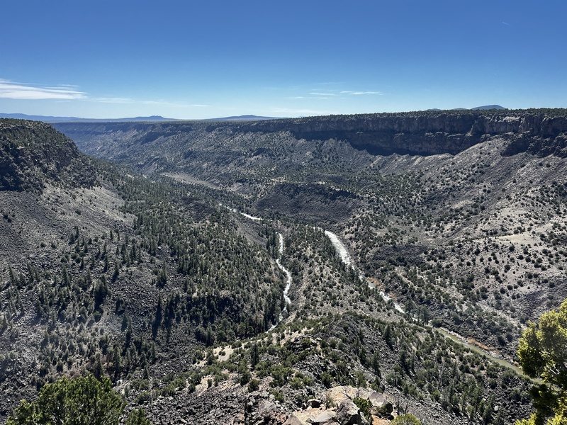
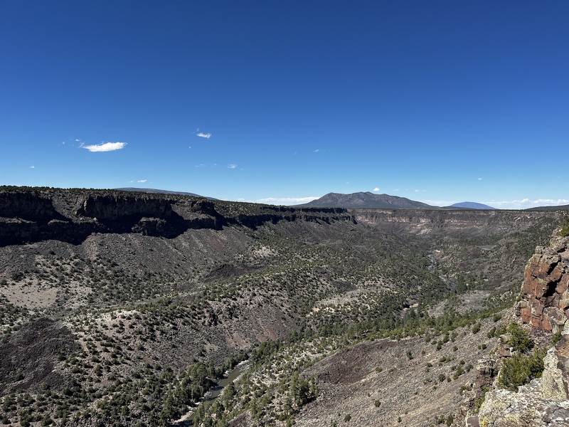
After about 2.5 hours at the sand dunes, I drove south into New Mexico to the Rio Grande del Norte National Monument. I camped at the Wild Rivers area, where the Red River and the Rio Grande meet, joining their 800' deep canyons together. This area was way cooler than I expected! 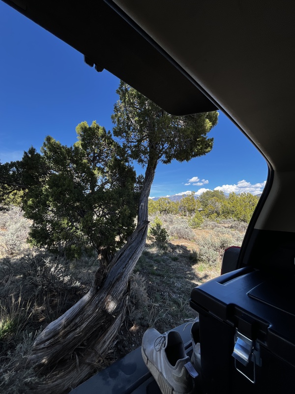
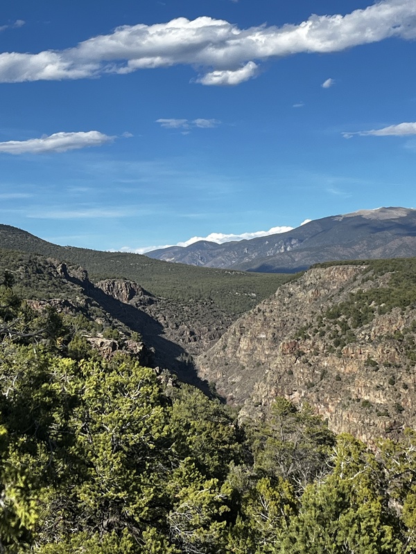
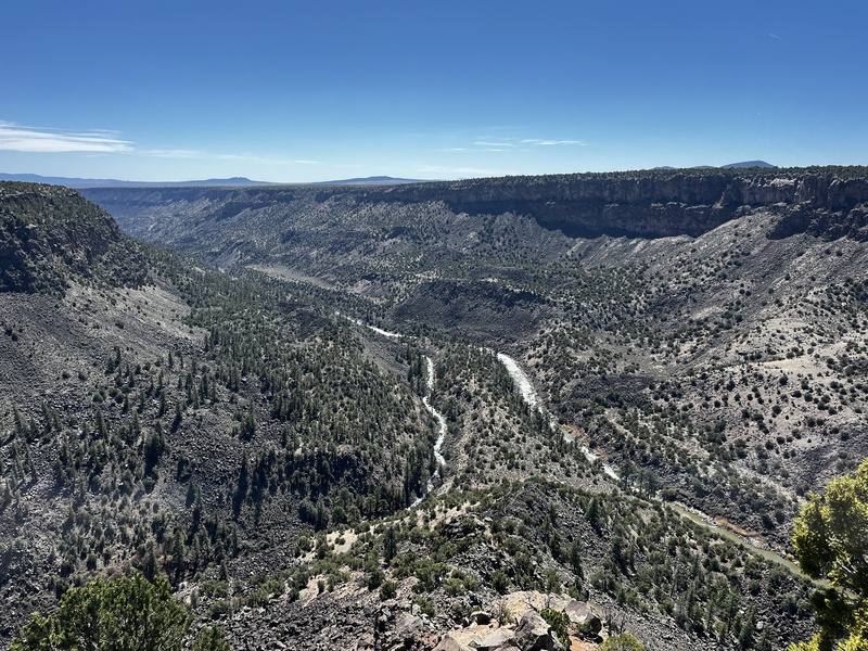
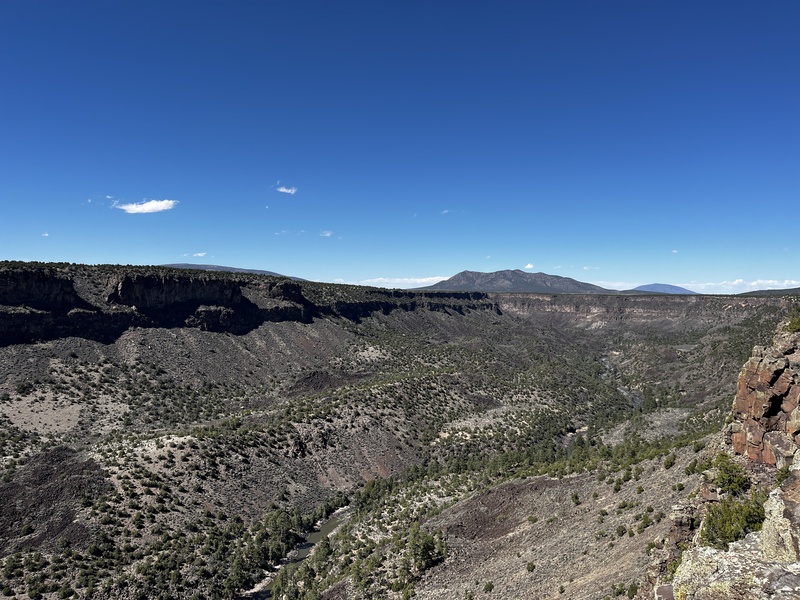
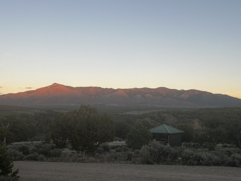
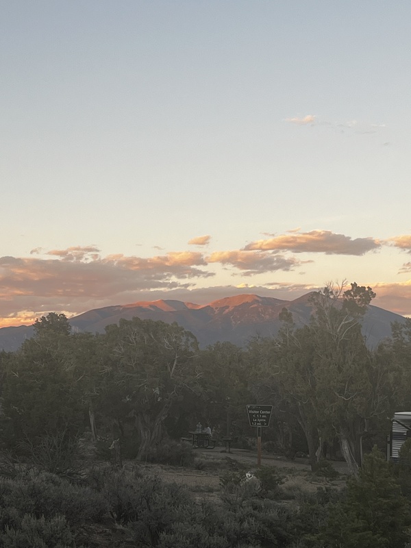
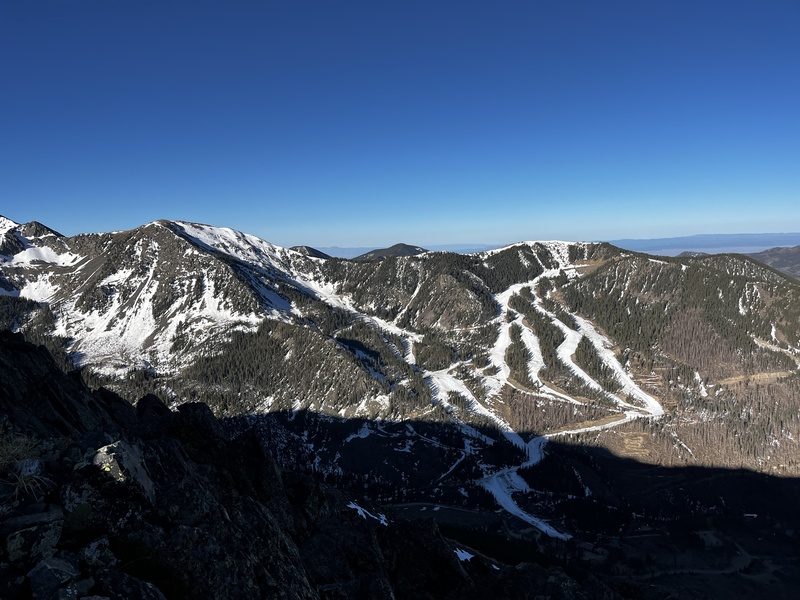
Day 5, Thursday, 3/26/26 I woke up at 4am feeling strong and recovered. I quickly ate breakfast, packed up, and prayed that no one snagged my ideal campsite while I was out today. I drove into Taos Ski Valley, where I began my hike of Wheeler Peak at 6am. I started at the Bull of the Woods trailhead, opting to do the longer loop of Wheeler. I made great time up to Bull of the Woods Mountain, where I encountered large snow drifts across the road/trail. These punched through easily and made this one particular mile the slowest of the whole day. I had to crawl across the largest snowfield of the day to avoid post-holing, which was mildly successful. This snowfield made me consider turning around the most out of any obstacle on the trip so far. It took me close to 20 minutes to cross a 300 foot snowfield. Thankfully, after this point, I didn't cross any more snow on my way to the Walter and Wheeler summits. 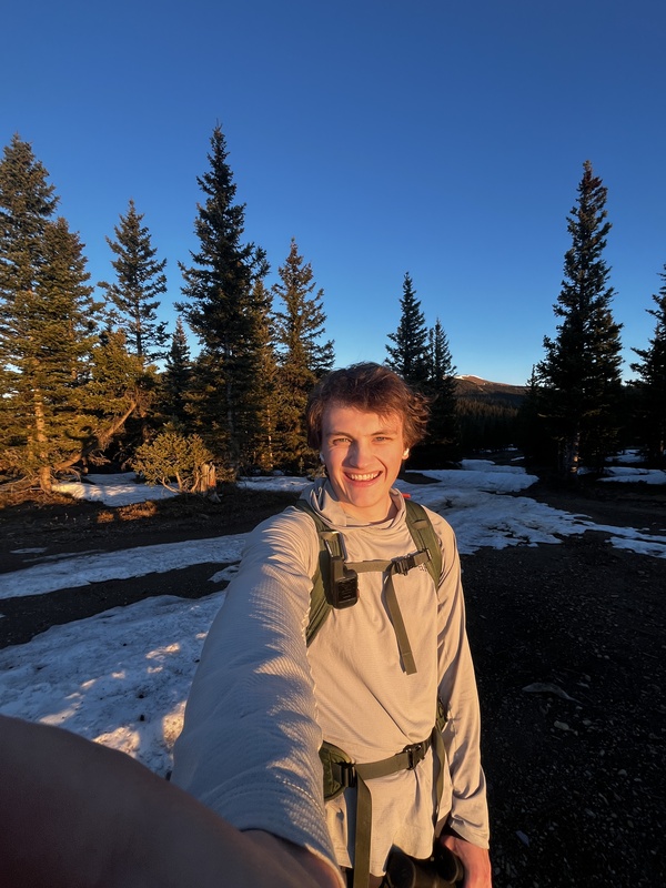
To ensure I avoided snow, I did not descend into La Cal basin, which had large snowfields. Instead, I took a small trail heading up the ridge that separated La Cal basin from Taos Ski Valley, which I had spotted from near the top of Fraser Mountain. This trail wasn't marked on my GPS map, but from my viewpoint, the whole ridge looked reasonably navigable all the way to the Walter Mountain summit. The ridge ended up working out great, with mild boulder hopping that reminded me of Halo Ridge on Mt. of the Holy Cross. I imagine it saved me a lot of time compared to descending into La Cal basin and crossing snowfields. 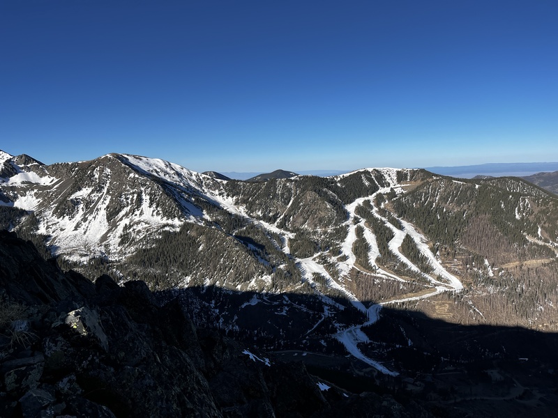
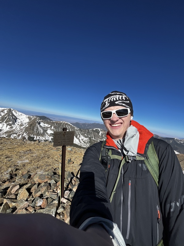
The summits of Walter and Wheeler were incredibly windy---I was able to lean a good 15 degrees into the wind and not fall off the mountain. I descended the switchbacks from the Walter-Wheeler saddle, making my route into a loop. I crossed a few snowfields on the way down, and found hard packed snow on the trail through the woods in the valley, a welcome change from the rotten snow I had been navigating all week. 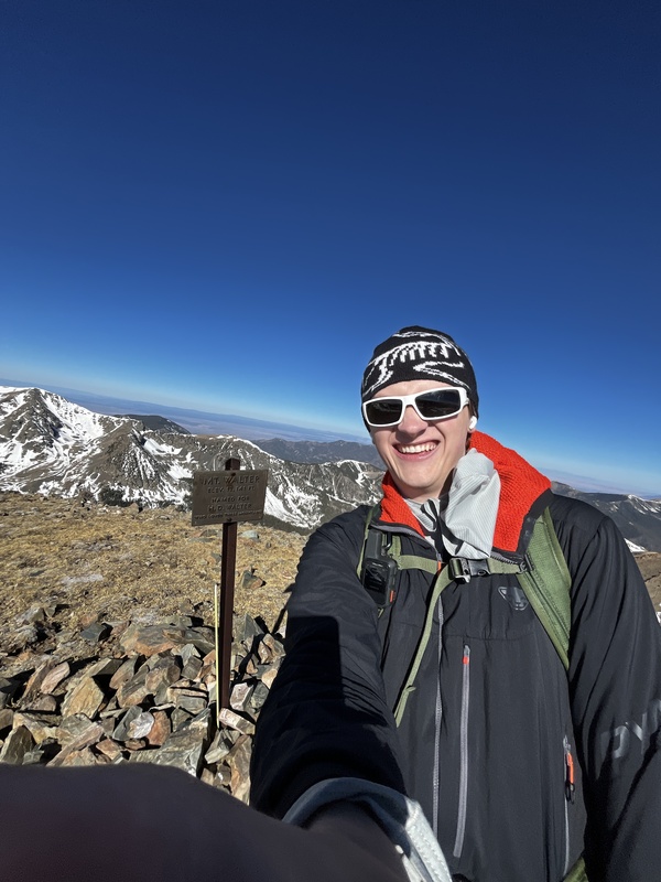
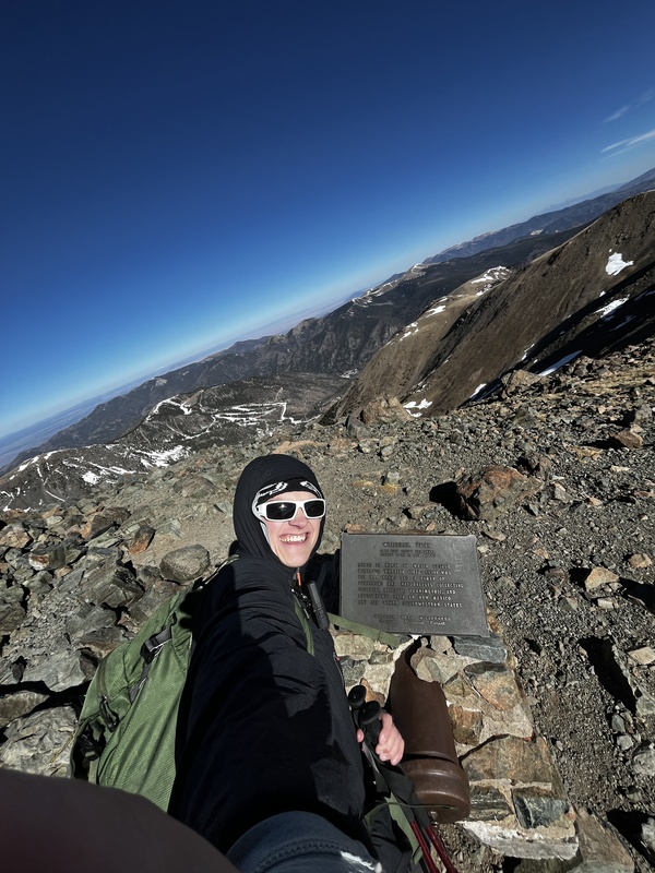
Once back in the Taos village limits, I decided to check out the apres scene (on a Thursday, right before the end of the ski season). However, I was devastated to learn that the place blasting music was just having an employee party on the day after they closed for the season. So much for my Taos apres venture. I continued walking down the roads of the Taos village and stuck my thumb out for a ride when a pickup truck passed. The Taos Ski Valley employees told me they weren't supposed to do this, but that I could hop in the bed of the truck and keep my head low. Thanks to them, I cut off about 2 miles of walking on roads, reaching my car around noon. I then drove into the town of Taos, mainly to check out what it was and to grab an extra gallon of water. However, I fancied myself some local beer from NM, so I grabbed something that looked interesting at the grocery store. However, at the self-checkout, I was turned away from buying the beer because my ID was vertical. They didn't care that it was from a different state, not expired, and said that I'm of legal age to buy beer. After a flustered google search in my car of why vertical ID's are no good in NM, I figured I'd have better luck at a proper liquor store. Thankfully, the staff there could use their critical thinking skills to determine that my ID was, in fact, valid, and they gladly pointed me to the local beers. I picked out Denim Tux, from Bow and Arrow Brewing, based out of Albuquerque, NM. It was very tasty! I spent the rest of my evening back at the campsite at Rio Grande del Norte National Monument, enjoying the Denim Tux and the wonderful views of the canyons and mountains. Day 6, Friday, 3/27/26 I took my time in the morning, as Day 6 was to be another rest day. I enjoyed the cool morning air with a cold breakfast, since my JetBoil sparker decided to stop working. I then drove back to Taos Ski Valley, and skied for about one hour, exhausting every lift and trail that remained open due to the historically low snowpack. Around 12:30pm, I drove north into Colorado to find a spot to camp for Culebra the next day. The first spot I found seemed nice, but had a ton of cow pies scattered about the campsite area. As I had some cell signal here, I read up on the Cielo Vista Ranch's website and learned I could car camp at the gate, so I wouldn't have to drive there in the morning. I made my way over, being the first of the five people who made reservations for Saturday to arrive. I sat in the back of my car reading and fighting for cell signal to get my social media fix. In order to get the interior light in the trunk to turn off, I locked the car with the tailgate open. This didn't work, so I moved on and thought nothing of it. After a while, I got bored and got out of the car, closing the tailgate. When the taillights flashed twice, I realized my mistake. My keys, phone, and wallet were all sitting on my mattress in the back of my car, and I had just closed the only door of my locked car. 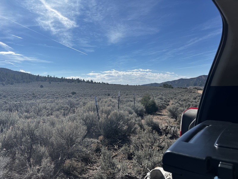
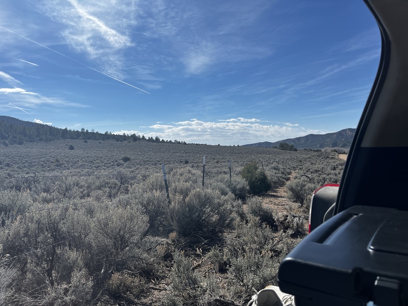
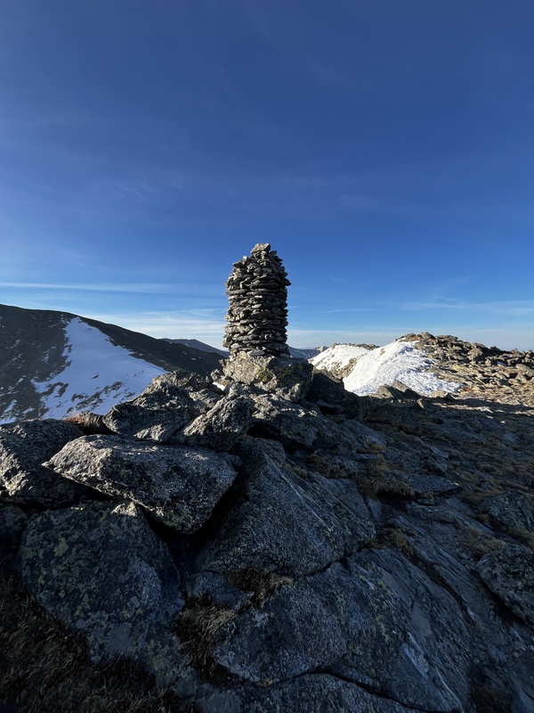
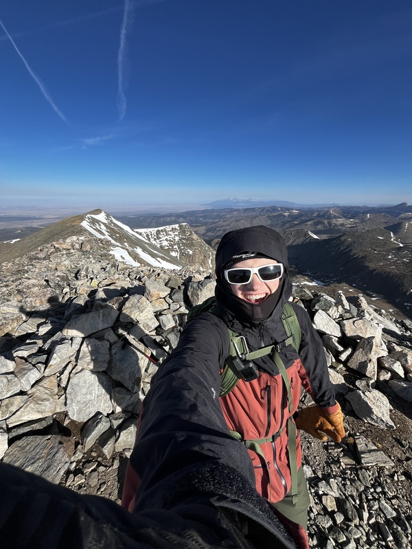
It was about 5pm and I was in the middle of nowhere locked out of my car with no phone or wallet. Well, shit. Time to start walking. About a mile down the road, I saw a house and prayed that I wouldn't get shot for walking onto someone's property and yelling "Hello?". Thankfully, two very nice old men came out of the barn and graciously heard my situation out. Upon calling the nearest locksmith, based out of Alamosa, which was at least an hour away, I learned the on-call locksmith was helping someone in my exact situation all the way up in Crestone, at the trailhead for Kit Carson Mountain. He would be at least 3 hours out from getting to me, so Gary, Fred, and I grabbed some wire and a hand pump wedge device and headed back to my car. After an hour and half of trying, I was ready to admit defeat and summon the locksmith. Gary and I drove back to his house to make the call, when, miraculously, Fred burst in the door with my keys! He had managed to pry the rear door open enough to reach the wire in and snag my keys from atop the mattress and pull them through the gap. I was so relieved. Fred and Gary are totally responsible for my good sleep that night and subsequent energy on my hike of Culebra on Day 7. Thank you so much for helping out a total stranger, Fred and Gary. By this point, the other hikers who made Culebra reservations had arrived and set up their tent. I made dinner around 8pm and joined them, sharing stories about our mountain adventures. Day 7, Saturday, 3/28/26 I woke up in the morning around 5am. It was cold! Way colder than anyone had anticipated. When I turned my car on to warm up while eating breakfast, the thermometer read 23F, about 15 degrees colder than my forecast had predicted! Just before 6am, the Cielo Vista Ranch employees arrived and checked my ID at the gate, this time not giving me any flak for it being vertical. We were able to drive all the way up to the parking area labeled "Four Way", which was about a mile below the highest summer trailhead. This meant I would be able to finish the hike quickly today! I started walking around 6:30am and quickly made it to treeline at the upper trailhead, where the official trail ends and it become a choose-your-own-adventure hike. There was a large snowfield in the middle of the main bowl above treeline, but it was totally dry on either side, making for an easy ascent. Upon reaching the mega cairn, the wind really began to pick up and the air temperature stayed very cold, even in the sun. 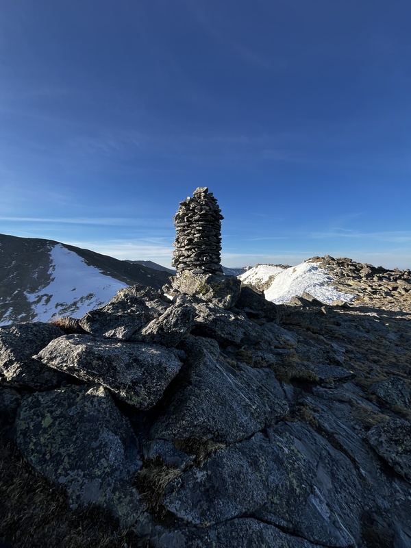
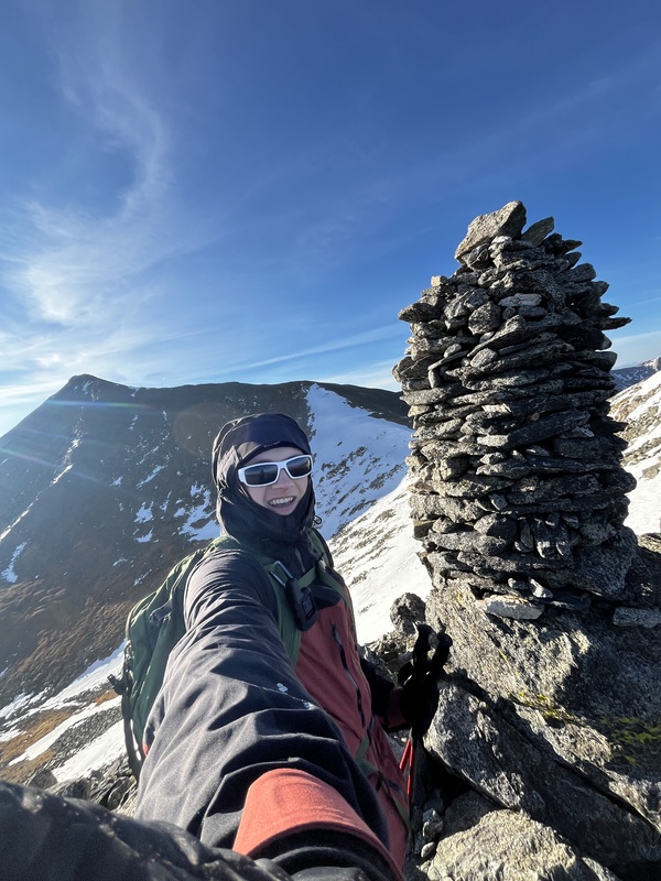
From the mega cairn to the summit was a fairly long walk in the cold wind, and I had to double up my gloves for the first time during the trip. I was the first person of the day to reach the summit of Culebra, around 8:45am. 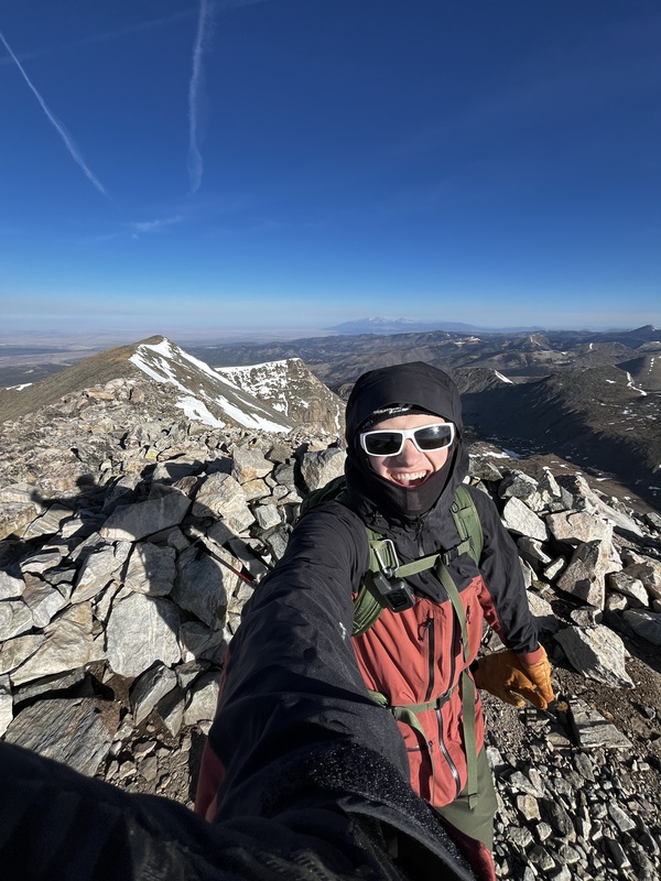
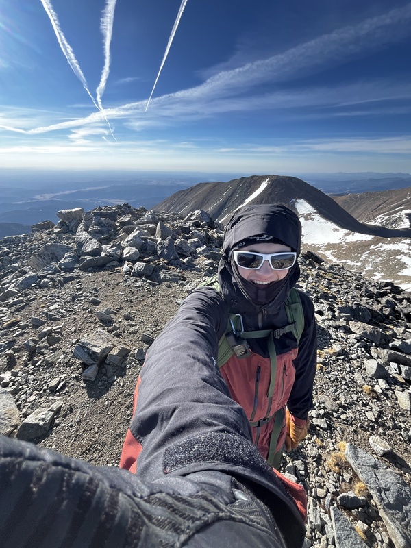
I then continued on to climb Red Mountain, which is one of Colorado's Centennials at 13,911'. Since it is also on the Cielo Vista Ranch property, I figured I'd get my money's worth and bag Red Mtn., in case I ever decide to go for the Centennials. I reached the top of Red around 9:30am and was back on the top of Culebra by 10:20am. Descending Culebra's snaky summit ridge took a while. Once I reached the mega cairn, I bee-lined for the snowfield, hoping I could save some time by glissading. It was a firm, bumpy ride down, but I did save a ton of time descending the steep bowl by sliding on my ass. Plus, by the time I reached the car at noon, my pants were mostly dry again! After organizing my gear, I made the 3.5 hour drive home to finish off my spring break trip. I would consider this trip a success. By goals metrics, I only had a 50% success rate on 14ers, but that is a lot better than my San Juans trip last August! But spring break is about relaxation and re-energizing to finish off the spring semester. By this criteria, I 100% succeeded with this trip. Plus, having unfinished 14er business means I have to go back and enjoy the beautiful place that is the Sangres again in the future, which isn't too bad of a problem to have. ;) Thank you for taking the time to read about my adventure. See you in the mountains! Thumbnails for uploaded photos (click to open slideshow): 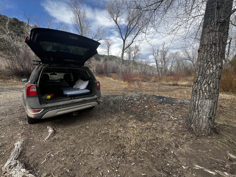
|
| Comments or Questions | ||||||||||||||||||||||||||||||
|---|---|---|---|---|---|---|---|---|---|---|---|---|---|---|---|---|---|---|---|---|---|---|---|---|---|---|---|---|---|---|
|
Caution: The information contained in this report may not be accurate and should not be the only resource used in preparation for your climb. Failure to have the necessary experience, physical conditioning, supplies or equipment can result in injury or death. 14ers.com and the author(s) of this report provide no warranties, either express or implied, that the information provided is accurate or reliable. By using the information provided, you agree to indemnify and hold harmless 14ers.com and the report author(s) with respect to any claims and demands against them, including any attorney fees and expenses. Please read the 14ers.com Safety and Disclaimer pages for more information.
Please respect private property: 14ers.com supports the rights of private landowners to determine how and by whom their land will be used. In Colorado, it is your responsibility to determine if land is private and to obtain the appropriate permission before entering the property.