
| Report Type | Full |
| Peak(s) |
Pearl Mountain - 13,379 feet "Oyster Peak" - 13,316 feet |
| Date Posted | 03/29/2026 |
| Modified | 03/30/2026 |
| Date Climbed | 03/28/2026 |
| Author | Danger_D |
| Additional Members | kyrawhitworth |
| Skiing Pearl and Oyster at Low Tide |
|---|
|
Peaks: Pearl Mountain and Oyster Peak With the absolutely horrible snow this year we knew we needed to take advantage of what little snow we did have. This might be a report from March, but it felt a whole lot more like June. I mostly wanted to make the report to highlight the variety of ways to link these peaks with low snow, and also complain about my own lack of fitness which made this a lot harder of a day 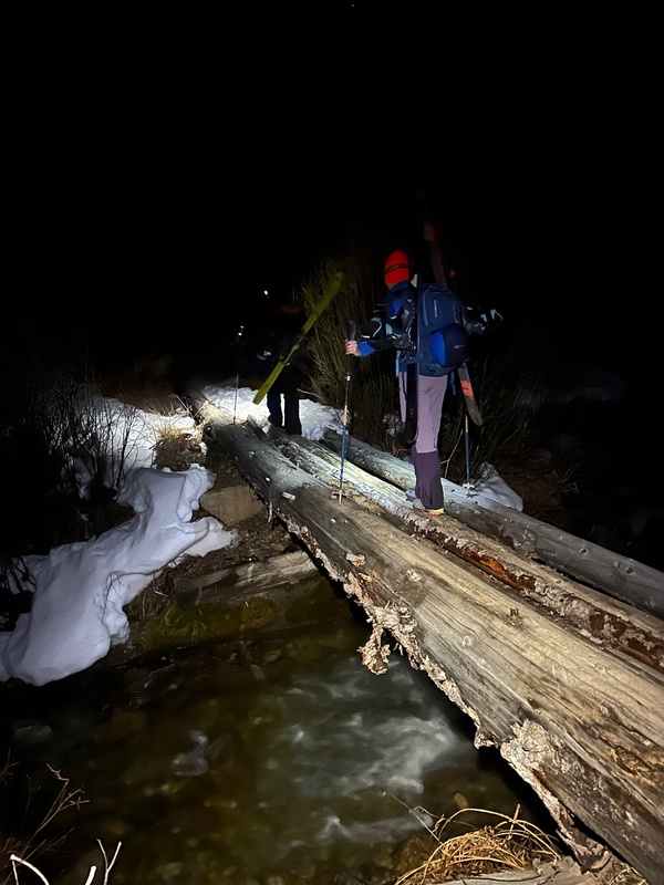
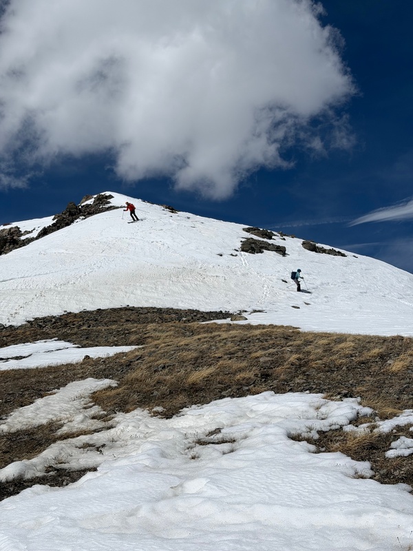
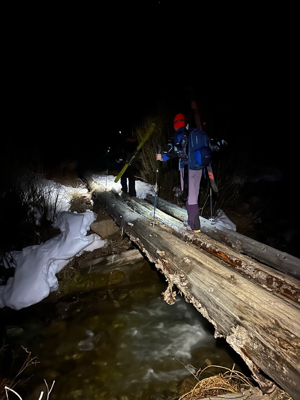
The creek crossing at 10,200 has a super solid foot bridge that is high enough above the water to avoid any icing. The good news is that past the creek crossing there was continuous snow all the way to the summit. It was pretty boggy on the way down, so I would expect some patches of dirt to break that up pretty soon. 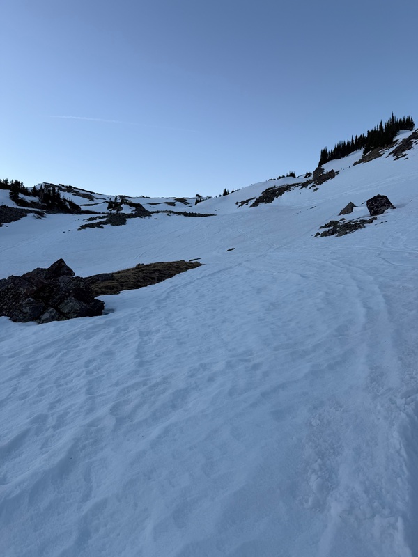
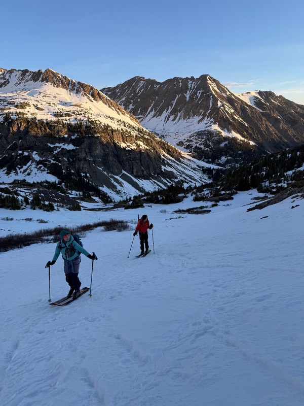
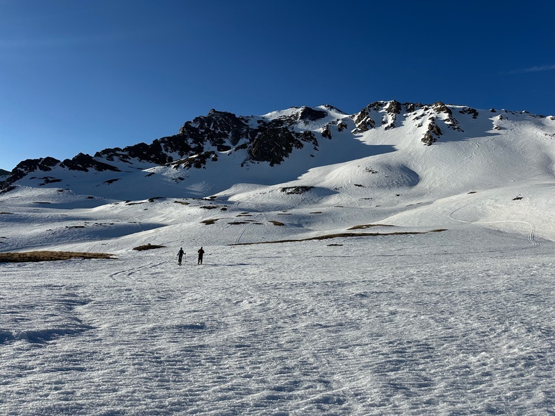
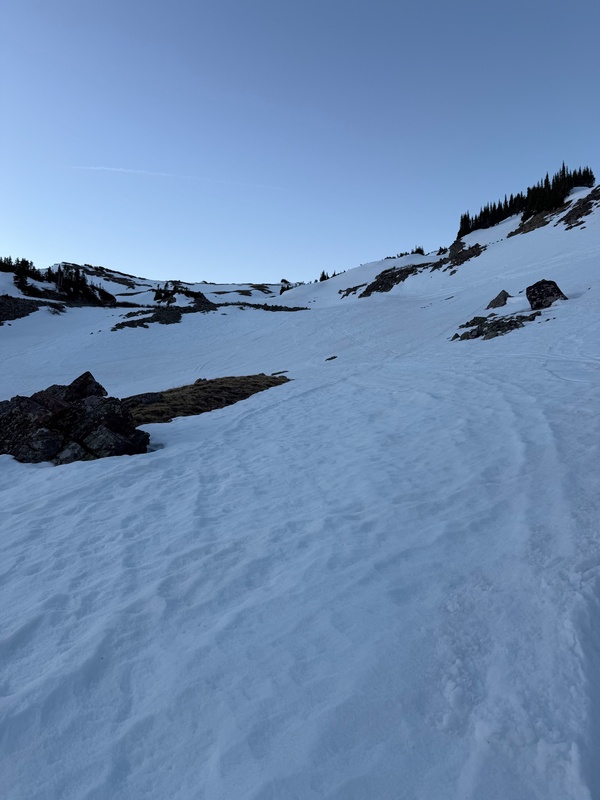
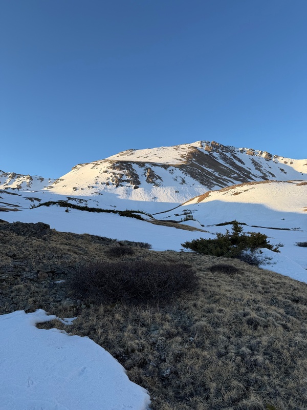
After climbing a few hundred vert of rolling hills, we got our first look at Oyster. We had planned to ski the broad north face, but things had melted out so much that it would have been hard to find a continuous line. You might be able to find something, but not what we hoped. 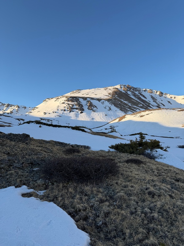
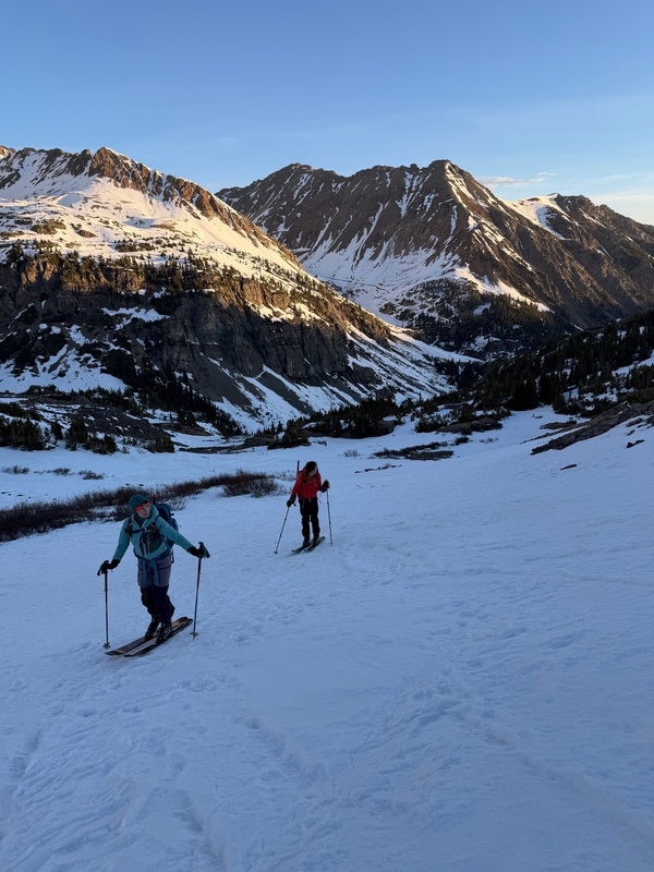
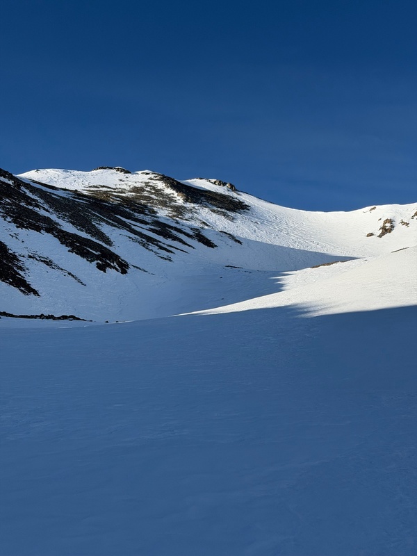
We decided to hit Pearl first and bobbed and weaved through the basin. Sometimes your snow would run out and you might have to billy goat across a tiny bit of grass, but it was pretty easy to navigate. Our plan was to climb and ski the North Bowl on Pearl, so we skirted around left to join up the obvious gulley between the massive ridge on the horizon and the smaller ridge closer to the approach. I thought it was fairly obvious, but a gpx will point you to the right entrance 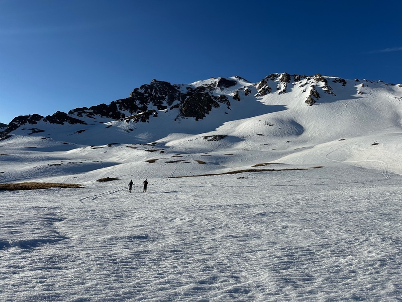
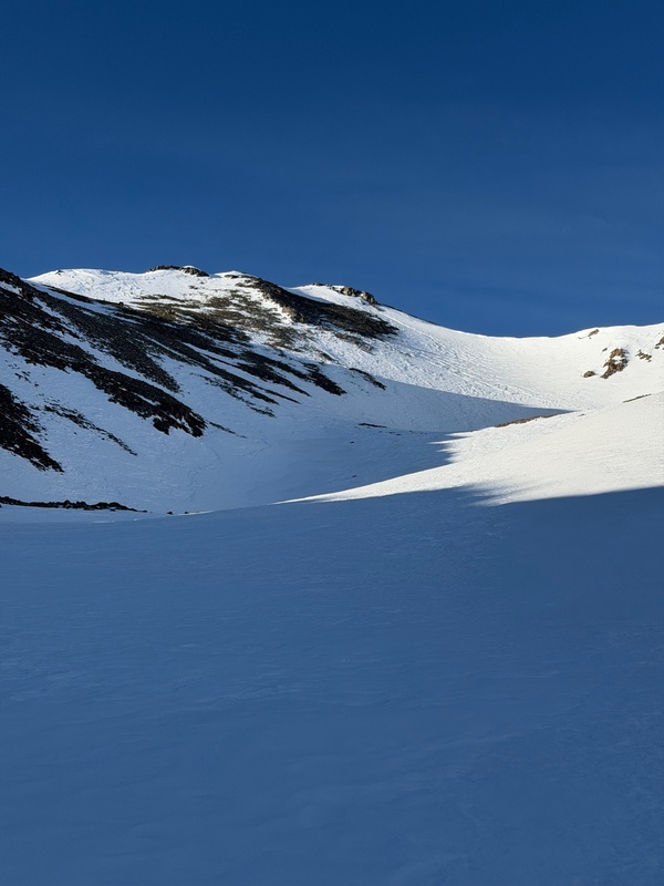
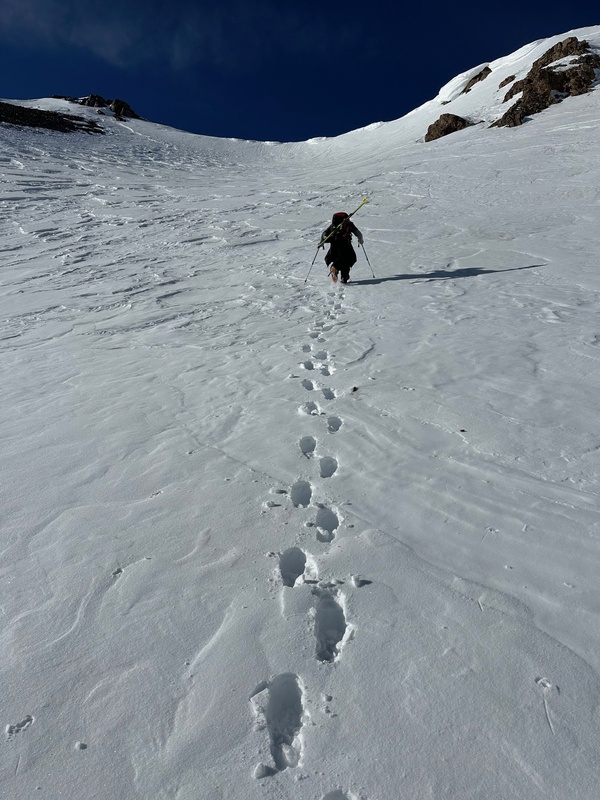
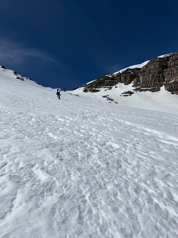
The gully is wide and pretty mellow to climb. You could probably skin quite high up the bowl, but the snow was supportive and we switched to our spikes around 12,600 since the snow was so supportive. 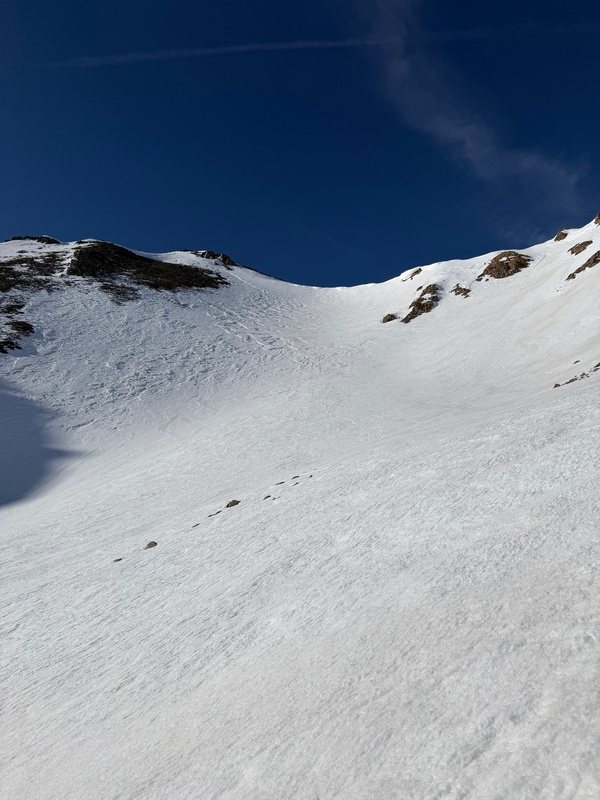
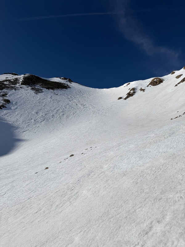
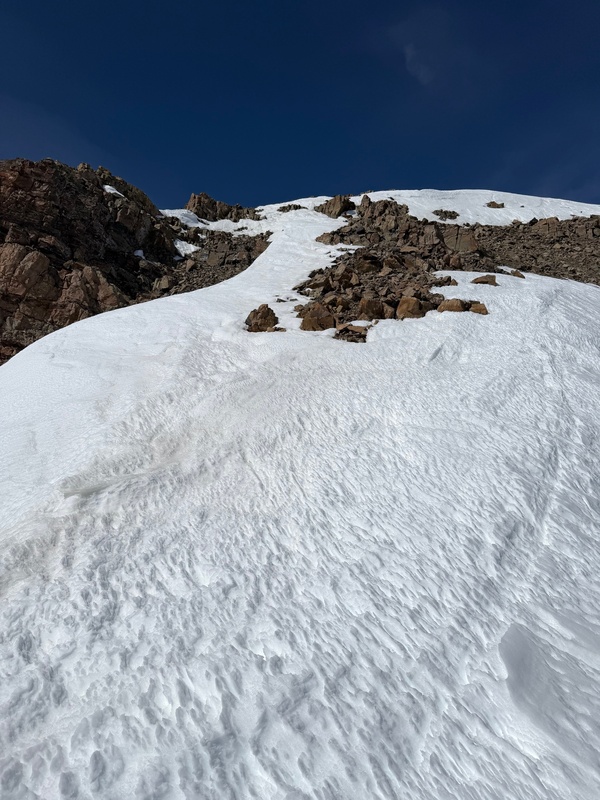
The upper bowl definitely steepened, but it never got extreme. I didn't measure, but I expect it maxed out around 35 degrees except for right below the ridge which we skirted around. We aimed for the snow band heading climbers-left right below the summit. I'm not sure how long that band will be around, but it was decently wide 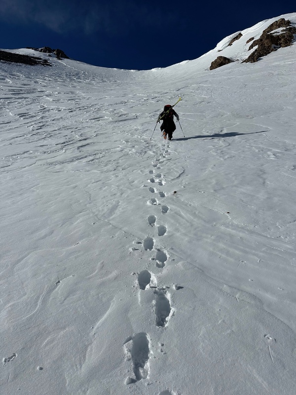
The true summit was melted, but I could touch the summit block with my ski pole when I clicked in so I'm counting that as good enough in my book. Since we wanted to tag another peak we dropped in early at 10:00. The north aspects were rock hard crust which made the initial drop a little spooky, but once we crossed the bowl to the NE aspect it softened nicely. If you are planning to link Pearl and Oyster you can drop down some short, steep chutes on skiers-left to keep your elevation. These were extremely icy for us. After dropping down we tried to stay as high as possible and head west towards the Pearl/Oyster saddle. 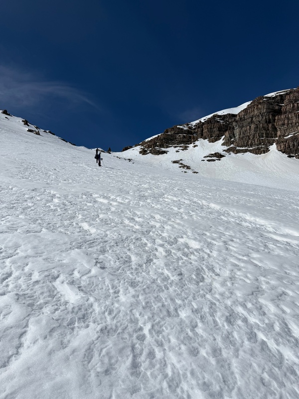
Once at the saddle there was a thin thread of snow connecting the Oyster ridge. In the morning it might have been fine to climb, but we were post-holing in the slush and decided to boot the rocks next to it. This thread will probably melt out soon. 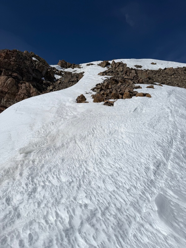
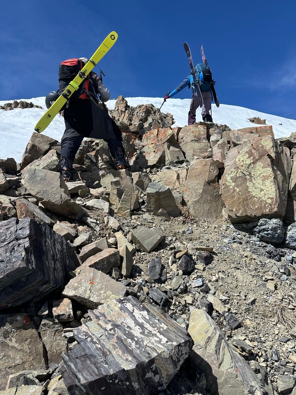
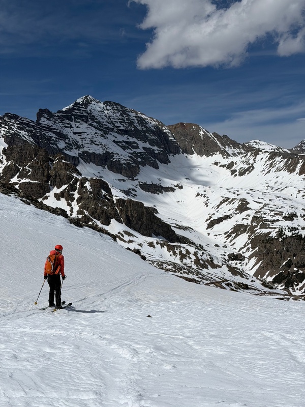
Since this was our 2nd peak of the day it was later than we had wanted. On the Oyster ridge at 12:15ish there was a decent amount of postholing. You could probably skin most of the ridge, but we stuck to our boots and had to grovel slightly. The elevation gain wasn't bad, but the ridge felt longer than it looked. Finally we reached the summit and all the grumbling was worth it. Beautiful views of all the elks and some much needed calories. 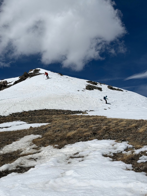
From here it was just a matter of picking our way back down through the basin. We stayed high and traversed around the Oyster headwall back towards the huts. 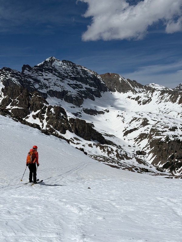
Very tired but stoked on bagging two different ski descents in a single day, we party skied back down. The rolling hills in the basin were fun, and soon enough we were crossing the small creek and retrieving our trailrunners. The road down to the creek crossing was a quick ski, even if there were some frustrating sections of slight uphill. After the creek crossing it was back to booting it, and the last 4 miles were easy but extremely tedious road walking. Thumbnails for uploaded photos (click to open slideshow): 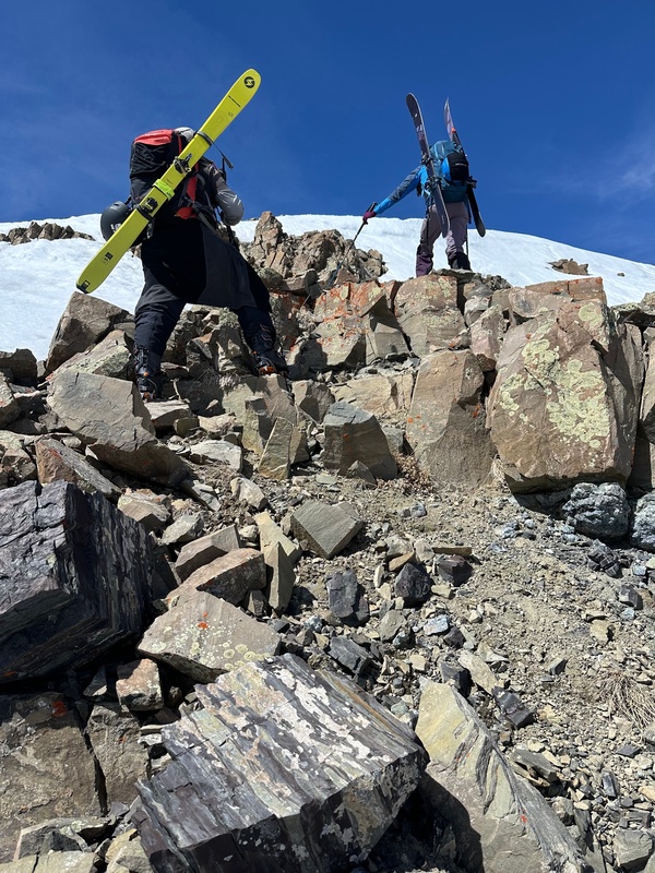
|
| Comments or Questions | |||
|---|---|---|---|
|
Caution: The information contained in this report may not be accurate and should not be the only resource used in preparation for your climb. Failure to have the necessary experience, physical conditioning, supplies or equipment can result in injury or death. 14ers.com and the author(s) of this report provide no warranties, either express or implied, that the information provided is accurate or reliable. By using the information provided, you agree to indemnify and hold harmless 14ers.com and the report author(s) with respect to any claims and demands against them, including any attorney fees and expenses. Please read the 14ers.com Safety and Disclaimer pages for more information.
Please respect private property: 14ers.com supports the rights of private landowners to determine how and by whom their land will be used. In Colorado, it is your responsibility to determine if land is private and to obtain the appropriate permission before entering the property.



 Download GPX file used in this map