| Report Type | Full |
| Peak(s) |
Mt. Aetna - 13,747 feet Taylor Mountain - 13,655 feet |
| Date Posted | 05/05/2026 |
| Modified | 05/10/2026 |
| Date Climbed | 12/12/2025 |
| Author | CaptainSuburbia |
| Taylor and Aetna |
|---|
|
Taylor and Aetna 
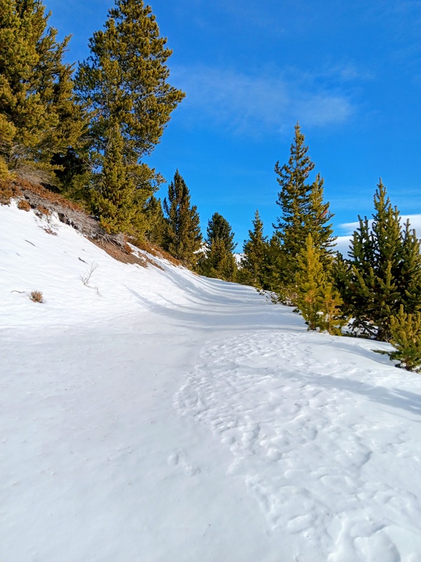
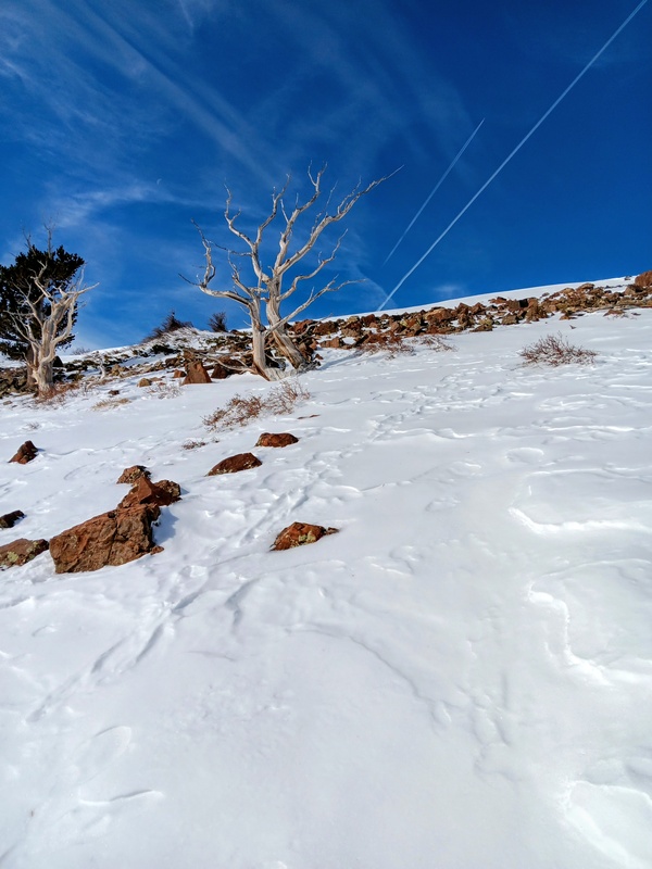
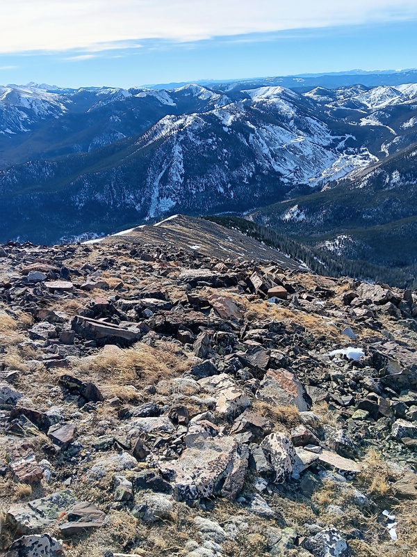
This is from last fall. I started this climb from just above the Monarch snowmobile building on FS 228 (Taylor Mountain Road). The road was snowed in above the switchback at 9800 feet. I pulled off and parked right before this at around 7 in the morning after the long drive from Fort Collins. I was hiking up the road by 7:30 without traction. I carried spikes and snowshoes though, knowing full well they would likely be needed later on. My intended route was to follow the road to the switchback at 10,600 feet, and then join the southeast ridge and following it to the summit. This seems to be the most common route for Taylor Mountain. Day of Climb: Friday, December 12th, 2025. Trailhead: 9700 feet on Taylor Mountain Road FS 228. Peaks: Taylor Mountain and Mount Aetna. Mileage and Elevation Gain: Approximately 12.5 miles and 4,548 feet of gain. 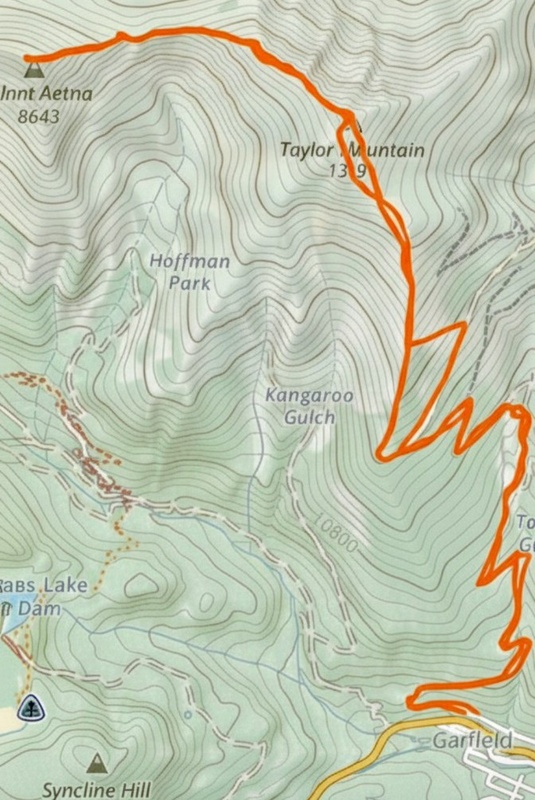
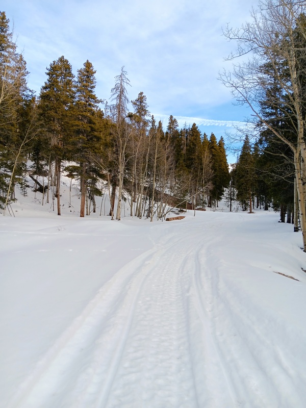
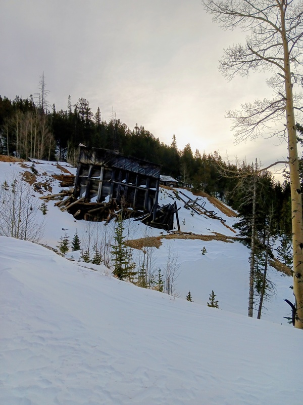
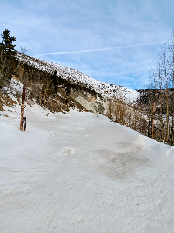
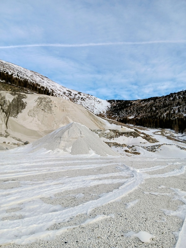
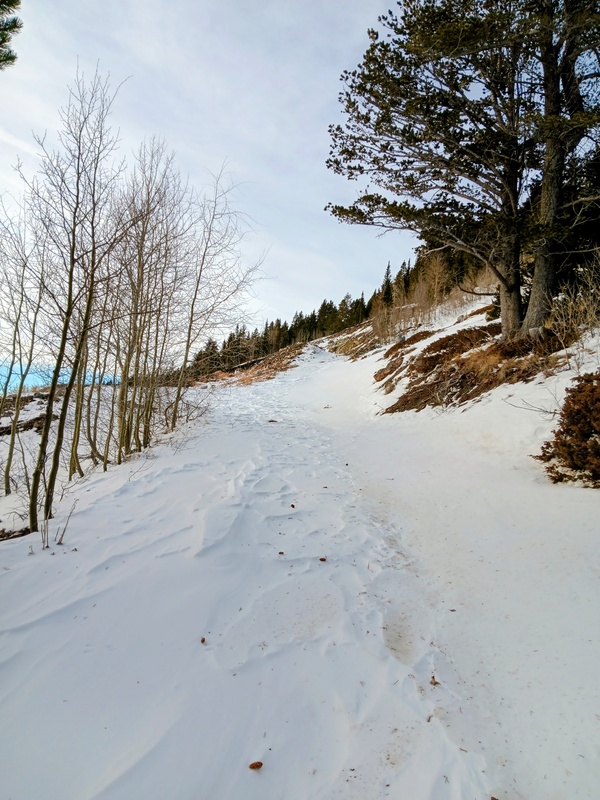
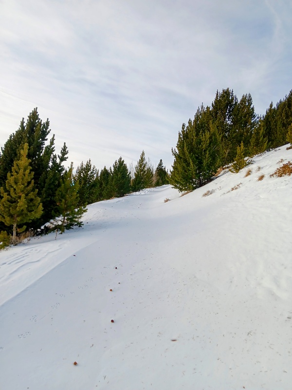
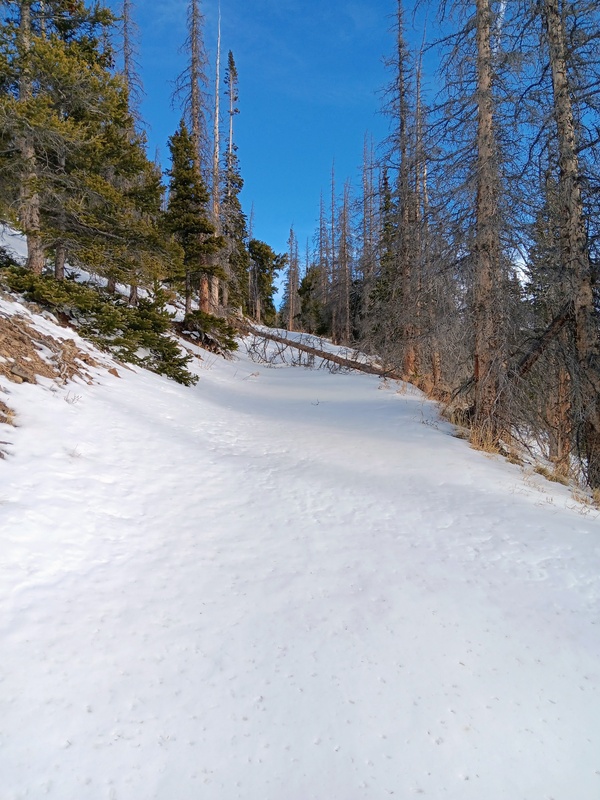
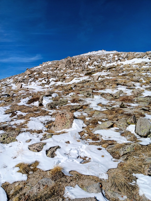
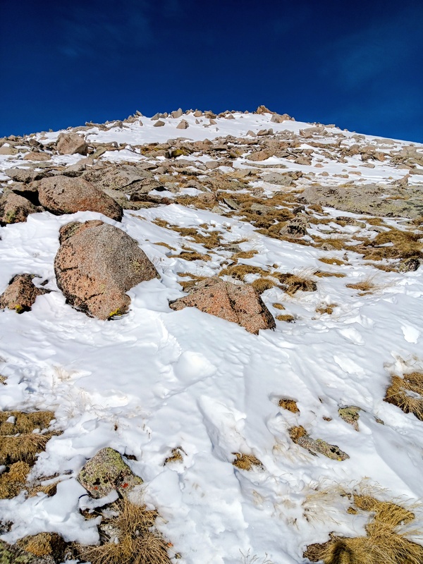
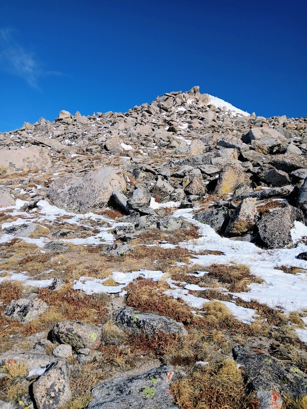
The road was a cruiser to start thanks to snowmobile tracks and a hard overnight freeze. I quickly reached the switchback at 10.6K and decided to keep heading up the road. The southeast ridge looked like it would've been a big trench effort with deep snow while the road still had a nice track to follow. I continued making good time up the road and, eventually, I put snowshoes on with the snowmobile tracks petering out. Not much later, I entered the mining area, passing through it quickly, and then turned left continuing up the road. The mining roads were layed out like a web criss-crossing the gulch in every direction, so I was careful to follow the correct one. My progress slowed considerably here as the untracked snow deepened. A few switchbacks later, having reached 12k, I left the comforts of the road and beelined to the southeast ridge of Taylor. 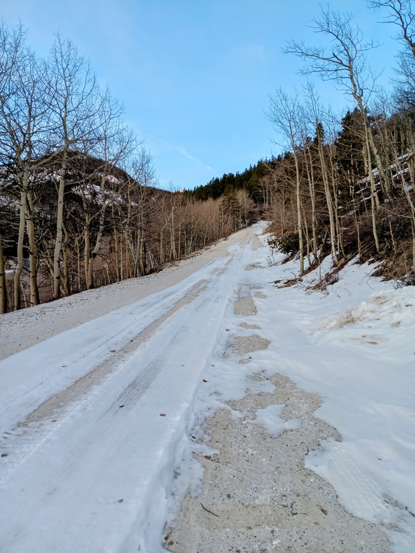
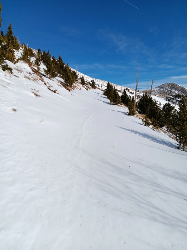
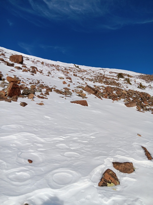
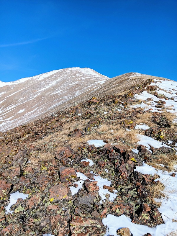
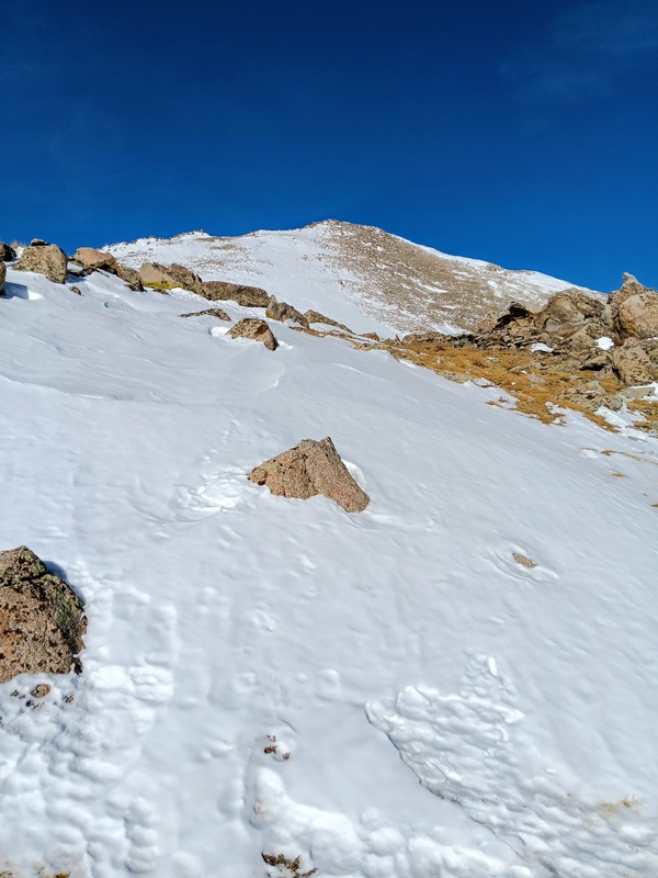
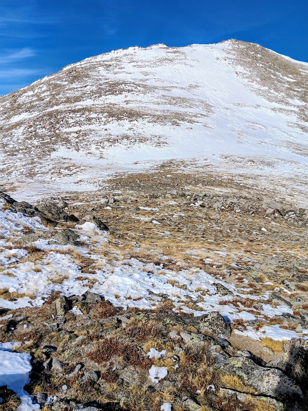
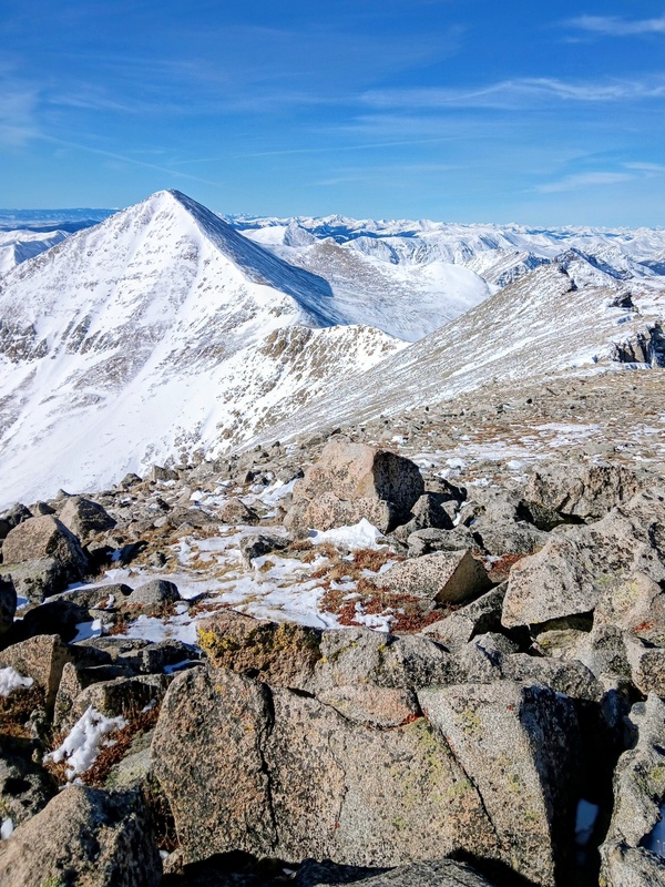
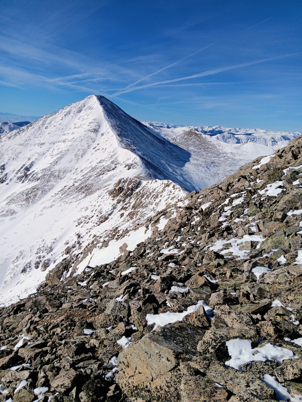
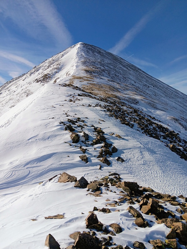
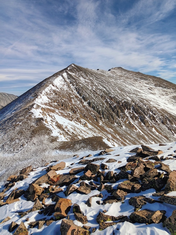
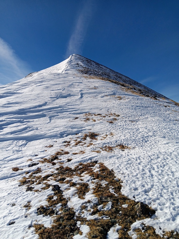
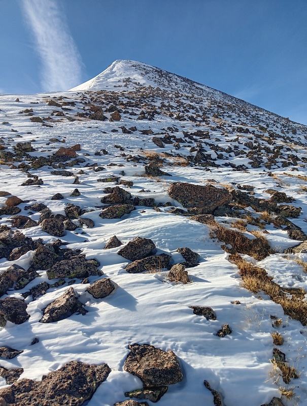
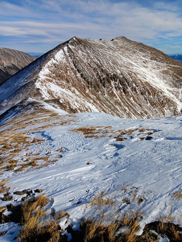
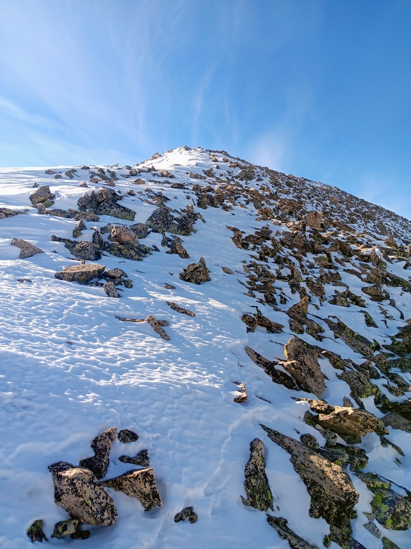
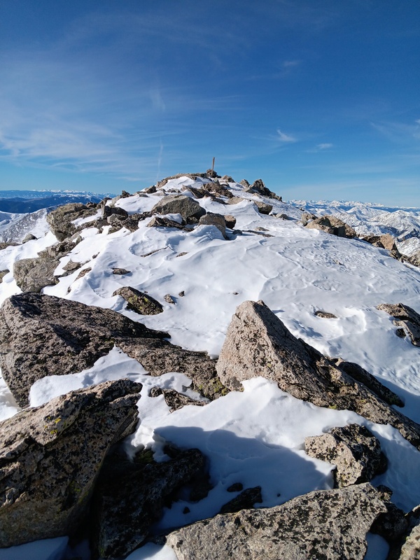
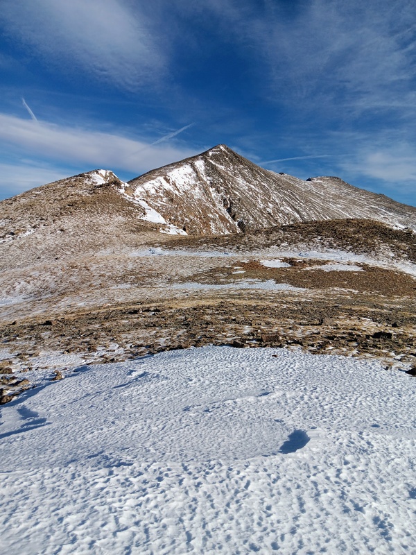
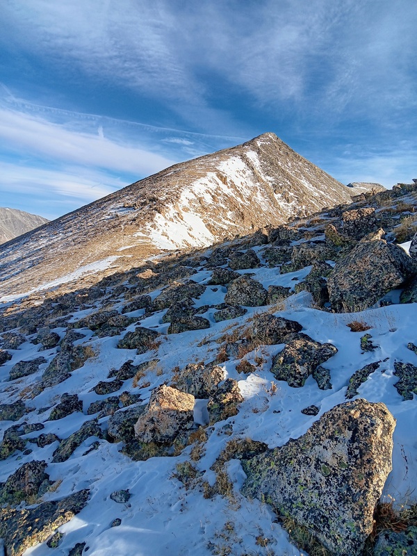
The southeast ridge was mostly dry so I stowed my snowshoes on my pack, in case they were needed again or if I took a different descent route, and headed up. I made quick progress over the easy terrain and encountered very little snow until close to the summit. There still wasn't much though, just a couple short snowfields that held some pockets of deep snow. The final slope to the summit was a steep grind over a mix of talus, tundra and the aforementioned brief snowfields. There was a nice rocky summit with panoramic views of 14ers Shavano/Tabeguache and other surrounding peaks. Mt Aetna to the west was a magnificent vista with it's classic pyramidal shape covered in early season snow. As of yet, I had not decided if I was one and done with Taylor, and heading down, or if Aetna was in the cards after my late start. It was always gonna be a game time decision. My original plan though was for a short day and get back to Fort Collin early. That view though was very alluring, almost a sirens song, but it looked like a long round-trip and I was tempted to punt it for another day with the hour getting late. Then, I calculated my odds of coming back for it, including the time and expense involved, and it was a no brainer to get Aetna now. It was practically free for the taking and I was pretty confident I had enough light. Plus, it's hard to pass up a good ridge run to a connecting peak. 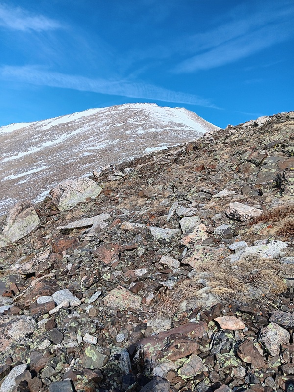
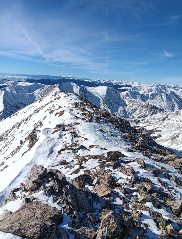
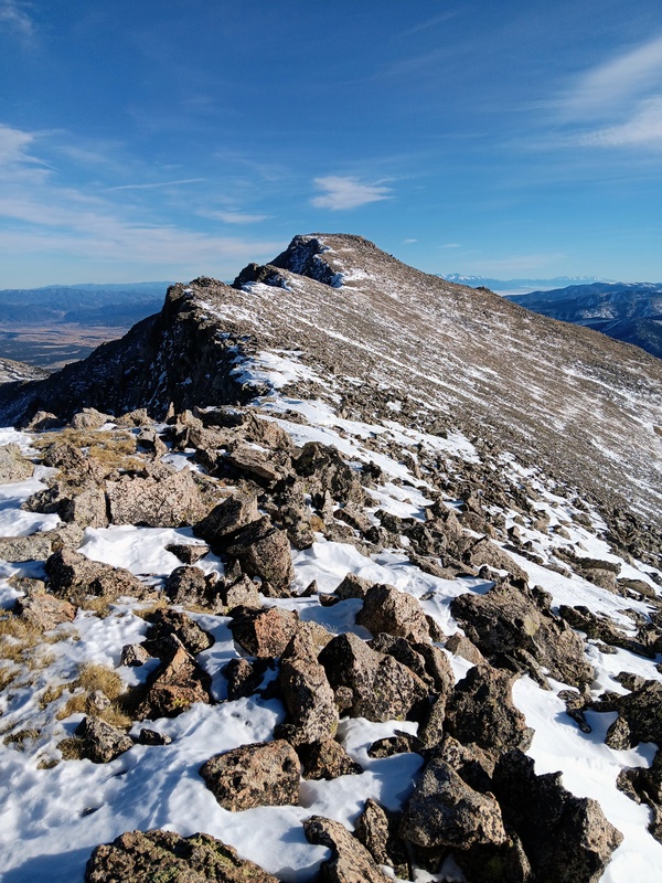
With the decision made, I stashed my snowshoes on Taylors summit, confident they wouldn't be needed again, and set out for Aetna. There was lots of snow to start as I sidehilled down Taylors northwest ridge taking a line just below the crest. There were several bumps along the ridge that didn't need to be climbed. I just had to be careful not to get to low and miss the saddle. 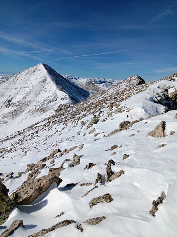
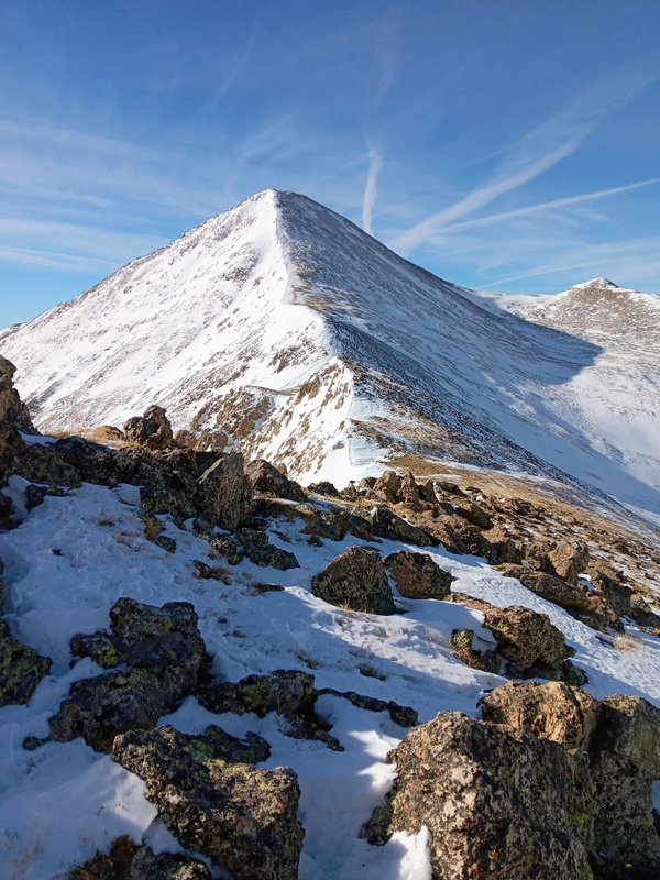
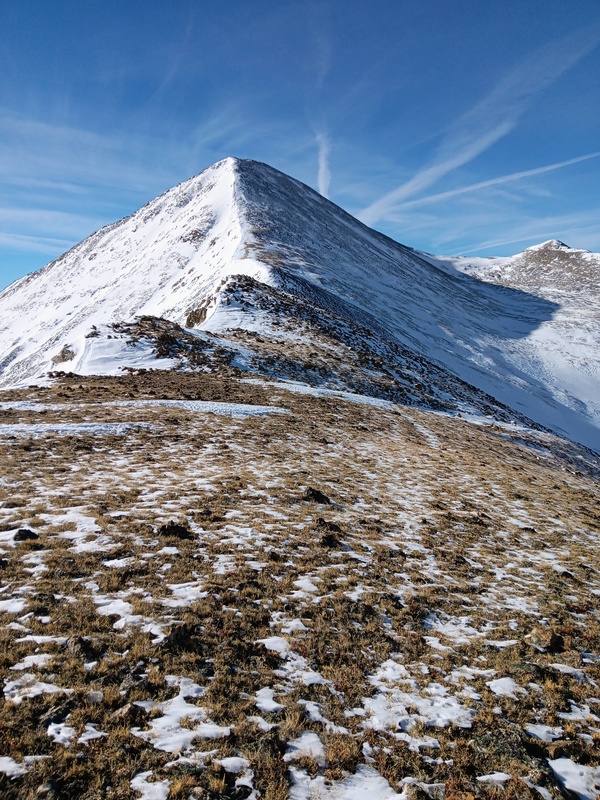
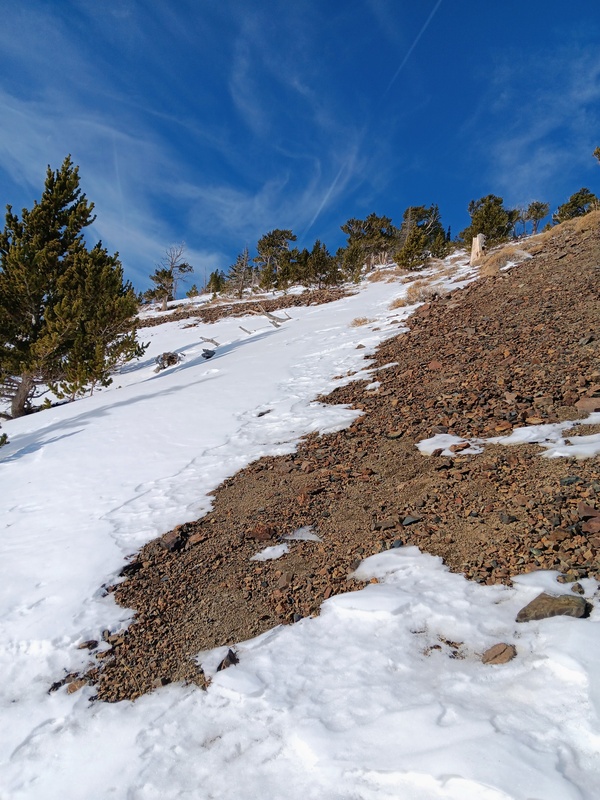
I reached the saddle in good time. It had been about a 600 foot drop that'll have to reclimb on my return trip. I put my microspikes on here expecting more snow to come and started up Aetna. Fortunately, the wind which had been picking up, died down as I moved across the saddle and began climbing Aetna. The lower ridge started with a steep bump which obscured the rest of the peak. I went climbers right up this where it was less steep and could get more traction in the talus. Once above that, the ridge mellowed a bit and was a mix of crusty snow, talus and some tundra thrown in. It didn't take long to cover the 750 vertical feet and I reached my second summit of the day. In total, it was about 1.5 miles from Taylor to Aetna and I reached it by about 1:30 in the afternoon. I was gonna have to move fast to get down by dark. 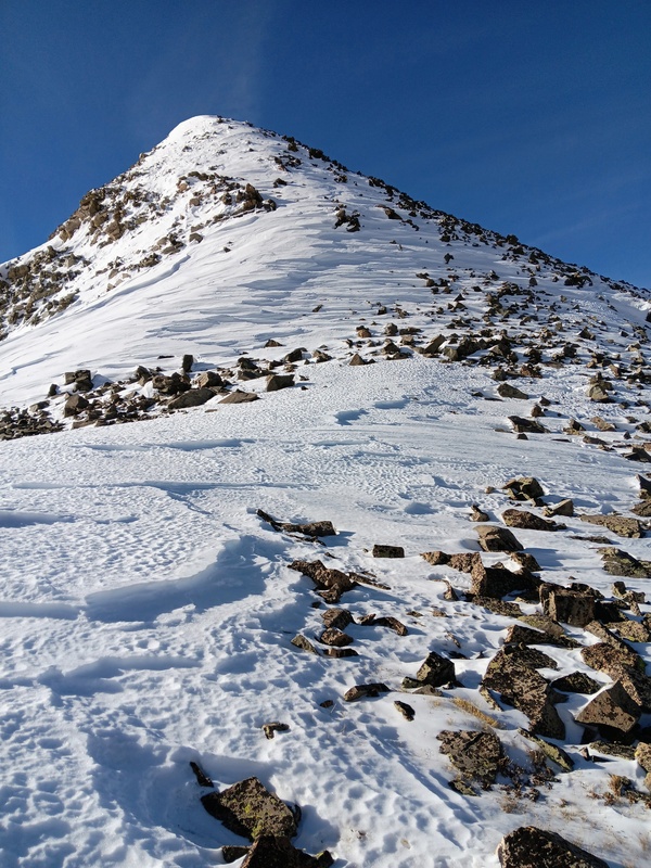
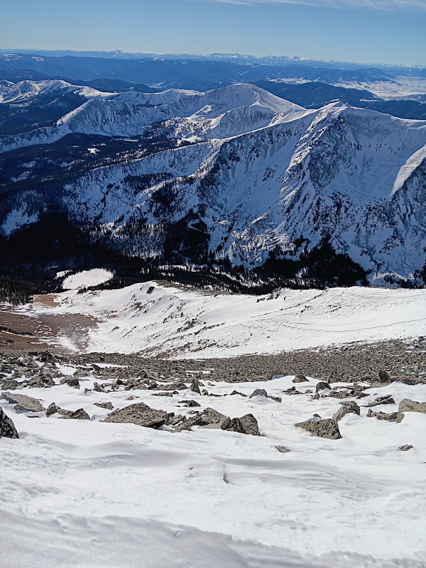
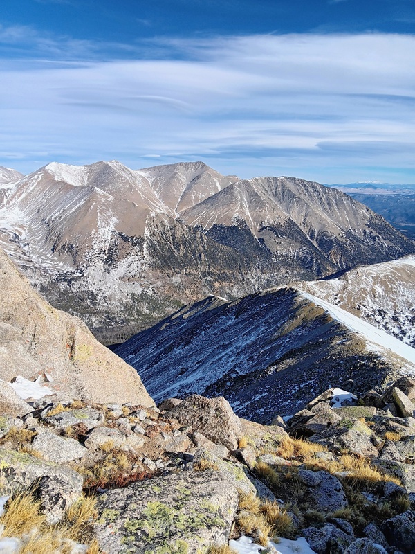
I had a short stay on Aetna and descended down it's east ridge back towards Taylor Mountain for the return trip. Everything went smoothly to Taylors summit and I grabbed my snowshoes. Had I not left my snowshoes up there, I could've probably saved myself 20 minutes or so by cutting under the summit by several hundred feet. I then retraced my steps down Taylors Southeast Ridge to treeline. Here, instead of going back to the mine roads immediately, I kept descending the ridge on supportive snow. Eventually though, I started sinking knee deep in crusty snow and put my snowshoes back on and bailed from the ridge in favor of the easier mining roads. With fading light, I criss-crossed back through the mine area and back down Taylor Mountain Road to my vehicle. I made it just after dark and thus concluded another fabulous day in the mountains. I didn't see another soul all day. 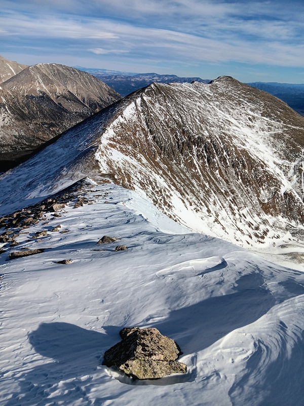
Thumbnails for uploaded photos (click to open slideshow): ")
")
")
")
")
")
")
")
")
")
")
")
")
")
")
")
")
")
")
")
")
")
")
")
")
")
")
")
")
")
")
")
")
")
")
")
")
")
")
")
")
")
")
")
")
|
| Comments or Questions |
|---|
|
|
Caution: The information contained in this report may not be accurate and should not be the only resource used in preparation for your climb. Failure to have the necessary experience, physical conditioning, supplies or equipment can result in injury or death. 14ers.com and the author(s) of this report provide no warranties, either express or implied, that the information provided is accurate or reliable. By using the information provided, you agree to indemnify and hold harmless 14ers.com and the report author(s) with respect to any claims and demands against them, including any attorney fees and expenses. Please read the 14ers.com Safety and Disclaimer pages for more information.
Please respect private property: 14ers.com supports the rights of private landowners to determine how and by whom their land will be used. In Colorado, it is your responsibility to determine if land is private and to obtain the appropriate permission before entering the property.


