Download Agreement, Release, and Acknowledgement of Risk:
You (the person requesting this file download) fully understand mountain climbing ("Activity") involves risks and dangers of serious bodily injury, including permanent disability, paralysis, and death ("Risks") and you fully accept and assume all such risks and all responsibility for losses, costs, and damages you incur as a result of your participation in this Activity.
You acknowledge that information in the file you have chosen to download may not be accurate and may contain errors. You agree to assume all risks when using this information and agree to release and discharge 14ers.com, 14ers Inc. and the author(s) of such information (collectively, the "Released Parties").
You hereby discharge the Released Parties from all damages, actions, claims and liabilities of any nature, specifically including, but not limited to, damages, actions, claims and liabilities arising from or related to the negligence of the Released Parties. You further agree to indemnify, hold harmless and defend 14ers.com, 14ers Inc. and each of the other Released Parties from and against any loss, damage, liability and expense, including costs and attorney fees, incurred by 14ers.com, 14ers Inc. or any of the other Released Parties as a result of you using information provided on the 14ers.com or 14ers Inc. websites.
You have read this agreement, fully understand its terms and intend it to be a complete and unconditional release of all liability to the greatest extent allowed by law and agree that if any portion of this agreement is held to be invalid the balance, notwithstanding, shall continue in full force and effect.
By clicking "OK" you agree to these terms. If you DO NOT agree, click "Cancel"...
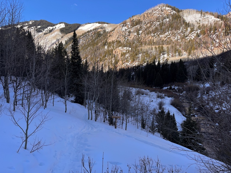
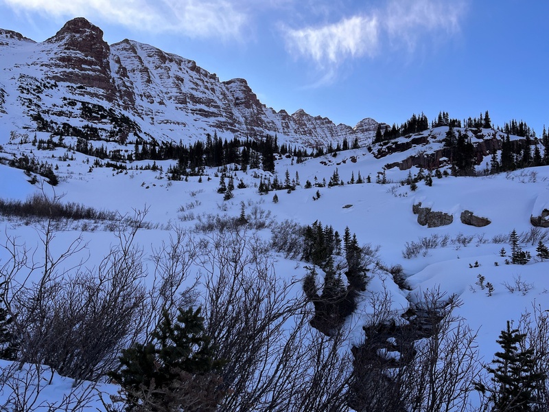
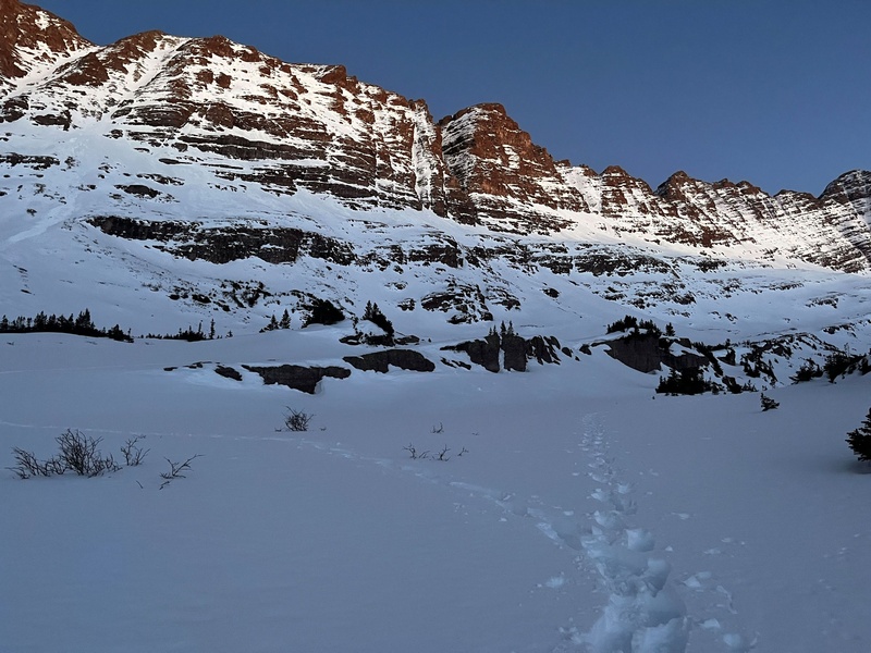
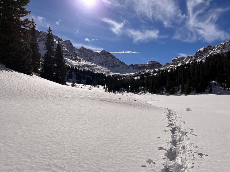
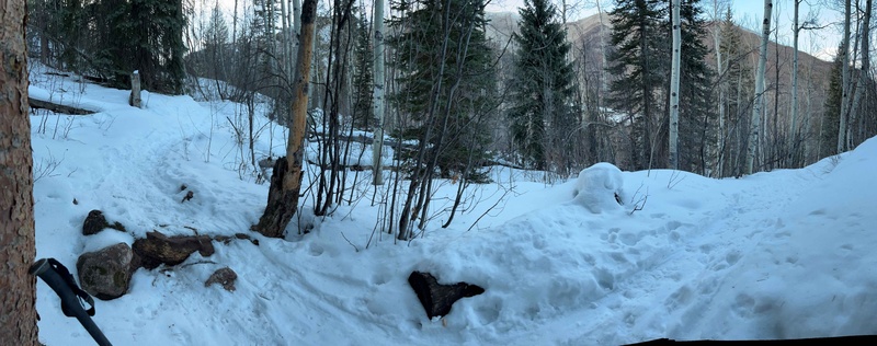
Changed my plan from Snowmass to North Maroon after seeing avy/weather forecast (green, low wind). I have visited Maroon-Snowmass TH 13 years ago for Capitol, but remember not too much. So, I start skinning on groomed first 0.7mile. Soon at trail began, I cache the ski, despite relatively good trail (thanks Will). I’m not good skier. Actually Im not skier at all. Sometimes use ski an easy approaches.
Will’s tracks turn west after 1.5mileSoon also older ski track vanish.
I’m on my own. This initial 2.2 mile take me 1.5h.
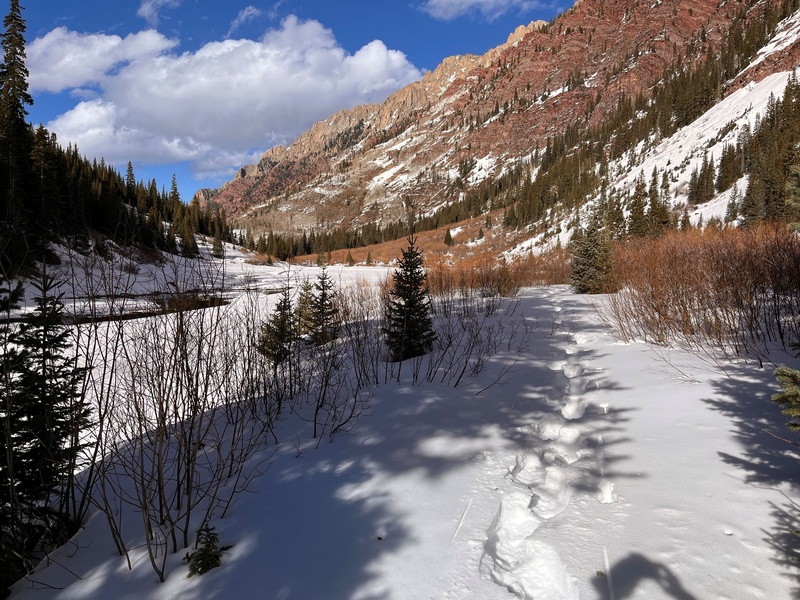
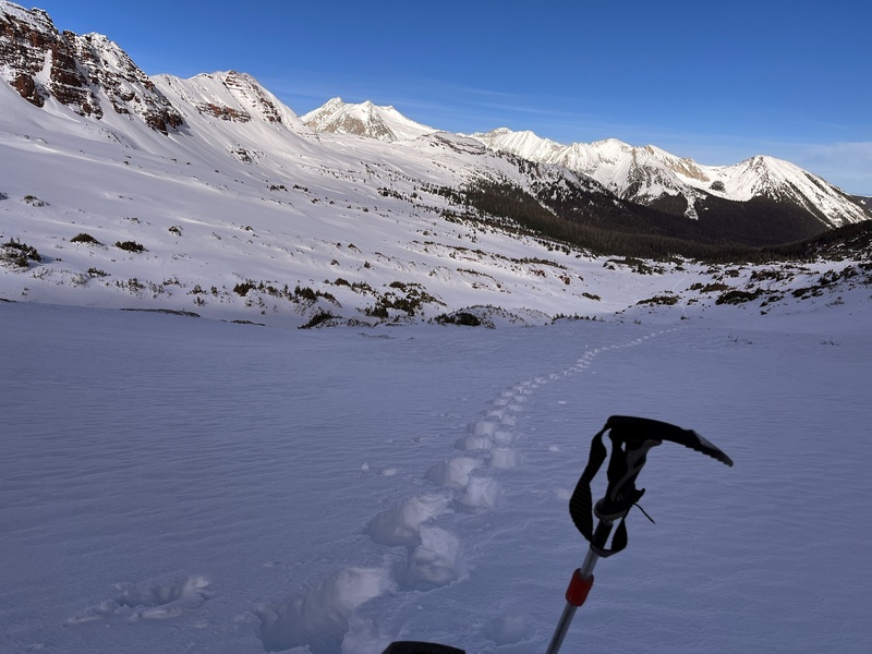
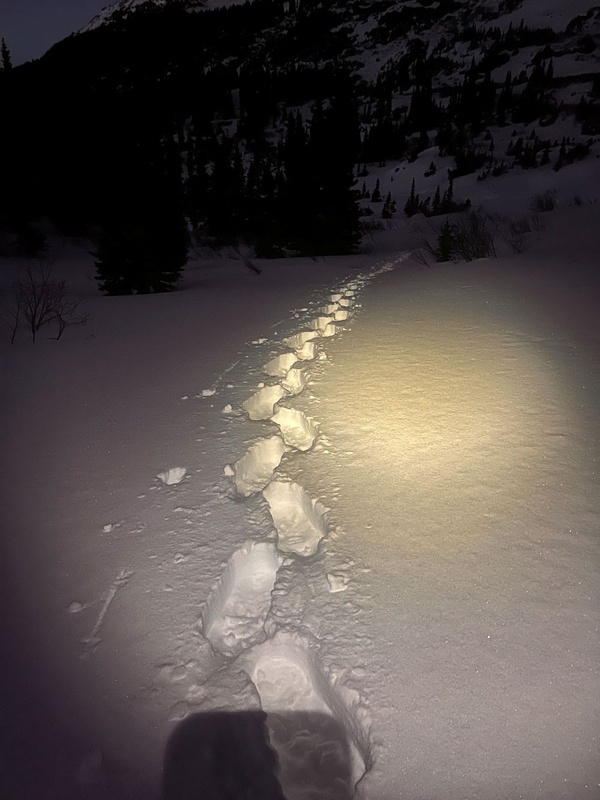
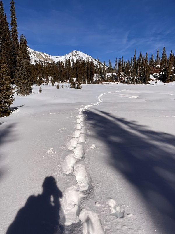
The remaining planed 8.5 miles, will take me additional 8.5h. This trenching almost killed me. I’m probably to old now, for this kind of game. At list 13 years old Derek’s GPX, help me reach at night excellent camp spot at 11000’. With running water. Go sleep after 11pm, so no alpine start.
Ready to go
Looking back for my pace, I corrected my summit day plan. Now I will be pushing up until dusk. Going back, especially down, is OK for me with headlamp.
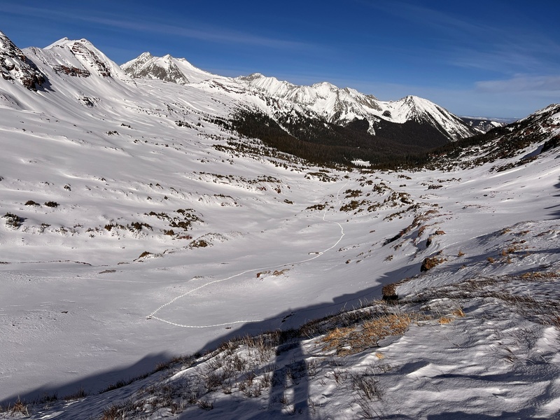
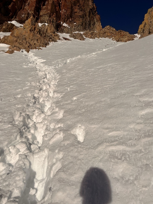
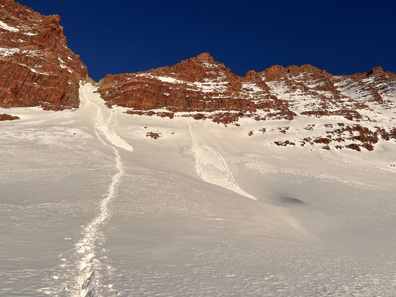
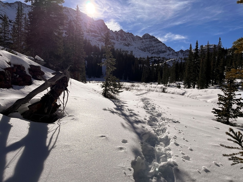
Next day, breaking the trail was easier, at least I feel it that way. Looking at GPX, my pace was even slower. 2 miles and 1400’ gain to apron of Gunsight Couloir (above some rock bend), take me 3.5h. Here I switched from snowshoe to crampons. Snow was soft and deep. Previous day small, wet avalanche helps me a little. But at couloir proper real battle start. The crust on top of snow was too weak. I’m sinking to thighs and must filing the hole with my hands, before next step. Short couloir alone, take me over 1h, almost 5 h from camp.
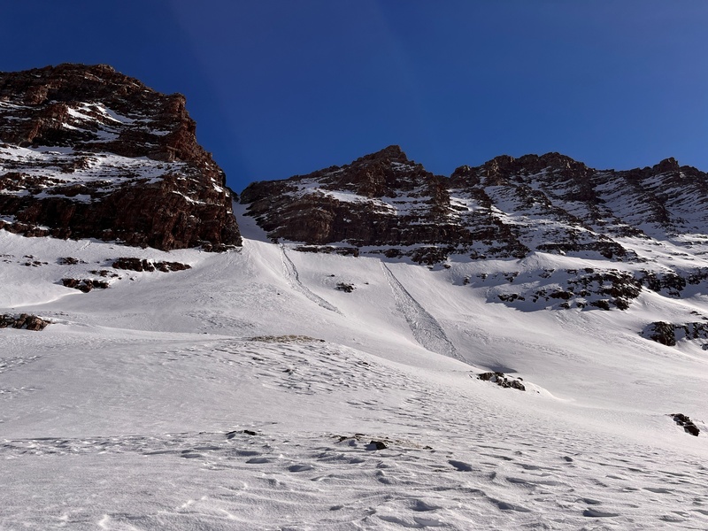
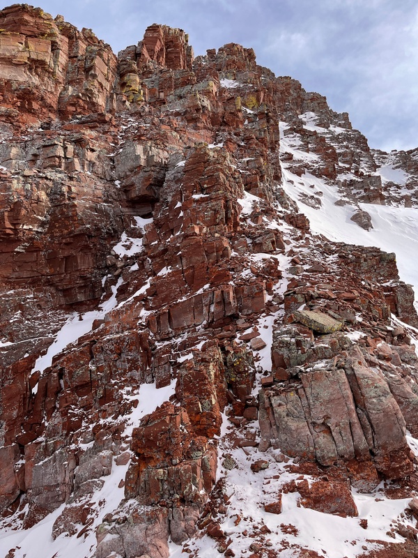
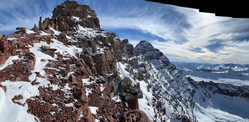
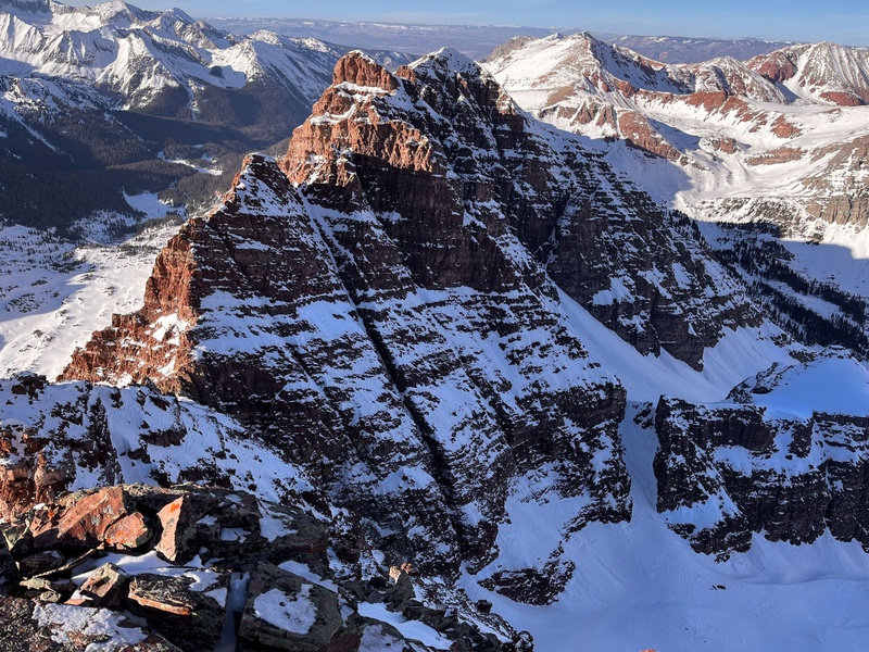
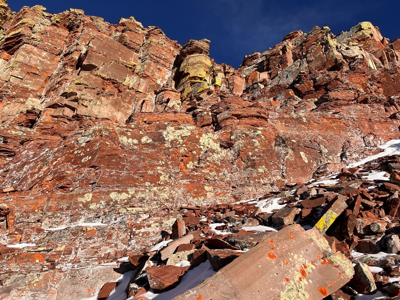
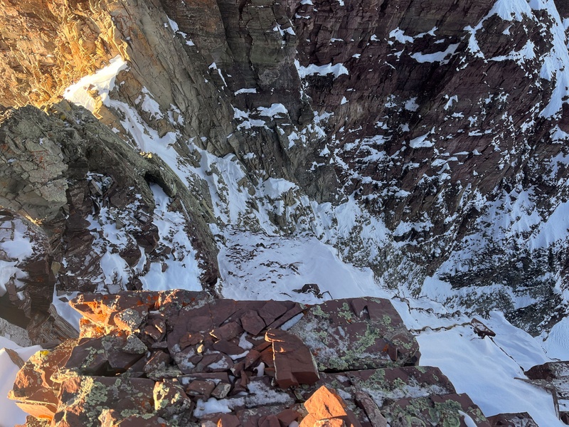
Gunsight CouloirGunsight Notch, east sideNorth side of Gunsight Tower
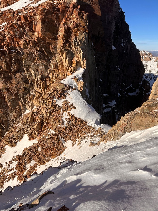
Things go better (means faster) above notch. With one exception. Less snow not always means more safety. One 2-3 yards long crux on bypassing Gunsight Tower was real NO FALL zone. Front pointing travers on small tuft of moss, without real handhold.
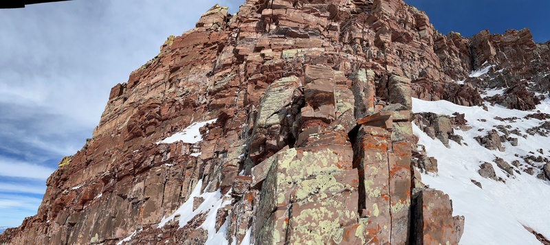
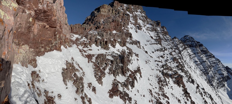
My way on north ridge diverted to much toward west face, which is way I climb to much class 4, even 5 short sections of rock.
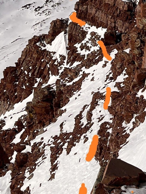
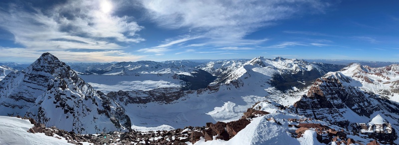
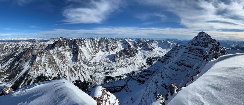
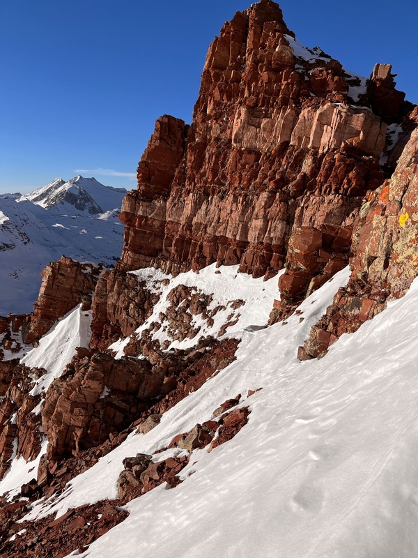
NMaroon N-Ridge
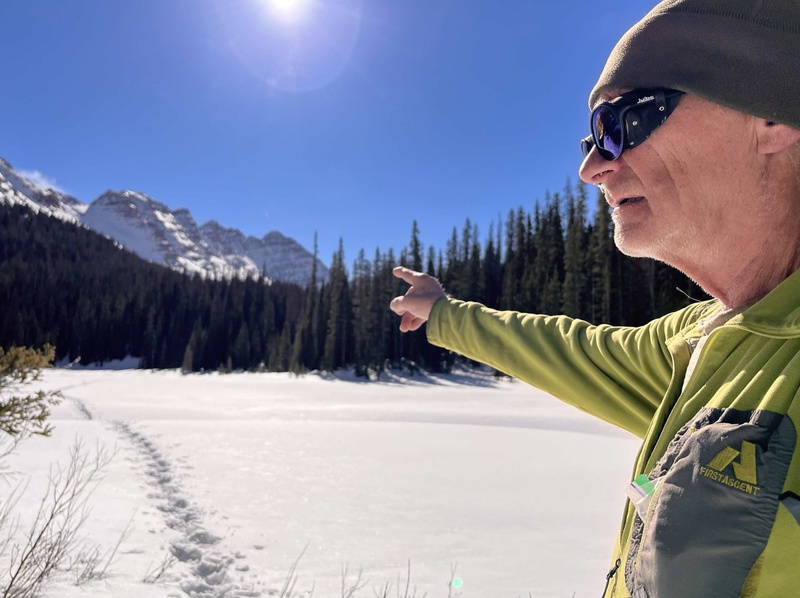
Snowmass & Capitol w. Paul somewhere on itGunsight Tower & Sleeping Sexton=13457'
The downclimbing went well, easier than the way up, with only one spot Class4.
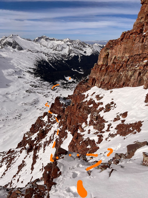
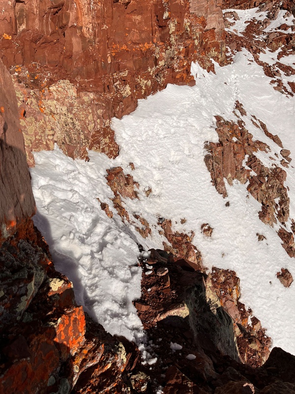
Crux of bypass Gunsight Tower.CruxEast Couloir of Gunsight NotchNotch at Gunsight Notch
Whole ridge above Gunsight Notch, both ways take me 4h, including almost half hour on summit.
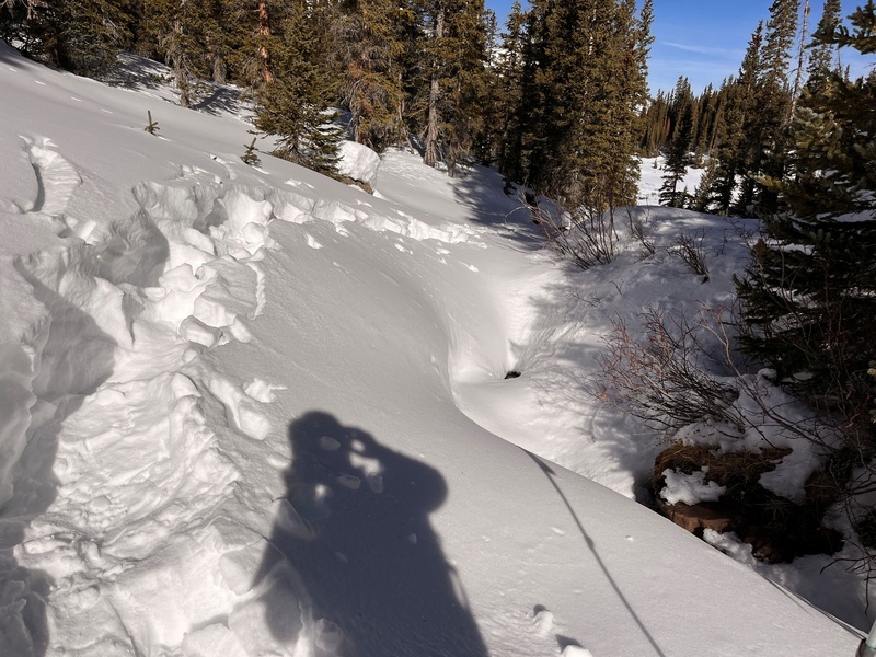
Some section at Gunsight Couloir was impassible to walk down.
I sinking above knee, and broken crust prevents making the next step. Fortunately glissading in wet snow was solution.
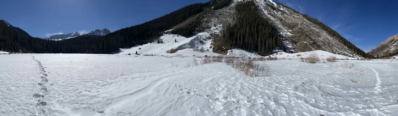
After switching back to snowshoe, I take higher system of ledges, avoiding step rocky bends.
Back on my track after long ledge
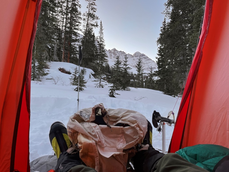
2h after leaving the notch, I reach my tent.
by, byHome sweet home
Next day, despite my slow pace, or maybe because of that, I was proud of my approach on first day. Long stretches of deep trenches, or rather series of holes, remind me of similar long approach to Slate Creek. Few years back, on my quest of winter climbing all ranked peak of Gore Range, south of Gore Canyon. But then, despite I was younger, I made 3 previous trips, each time breaking the trail 3 more miles, by the time I was ready to final approach.
Hiking back to my car take me 8h.
Please be merciful, English is not my native language.
My GPS Tracks on Google Maps (made from a .GPX file upload):
Super, freaking, awesome job in nabbing N. Maroon! Probably in the top-3 hardest in winter IMO.
Caution: The information contained in this report may not be accurate and should not be the only resource used in preparation for your climb. Failure to have the necessary experience, physical conditioning, supplies or equipment can result in injury or death. 14ers.com and the author(s) of this report provide no warranties, either express or implied, that the information provided is accurate or reliable. By using the information provided, you agree to indemnify and hold harmless 14ers.com and the report author(s) with respect to any claims and demands against them, including any attorney fees and expenses. Please read the 14ers.com Safety and Disclaimer pages for more information.
Please respect private property: 14ers.com supports the rights of private landowners to determine how and by whom their land will be used. In Colorado, it is your responsibility to determine if land is private and to obtain the appropriate permission before entering the property.


")
")
")
")
")
")
")
")
")
 Gunsight Notch")
")
 Bypassing Gunsight Tower; ed")
 Bypassing Gunsight Tower; ed,z")
 NMaroon N-Ridge")
")
")
")
 Notch at Gunsight Notch")
 East Couloir of Gunsight Notch")
")
 Crux")
 Crux of bypass Gunsight Tower.")
")
")
")
")
")
")
")
")
")
")
")
")
")
")
")
")


