Download Agreement, Release, and Acknowledgement of Risk:
You (the person requesting this file download) fully understand mountain climbing ("Activity") involves risks and dangers of serious bodily injury, including permanent disability, paralysis, and death ("Risks") and you fully accept and assume all such risks and all responsibility for losses, costs, and damages you incur as a result of your participation in this Activity.
You acknowledge that information in the file you have chosen to download may not be accurate and may contain errors. You agree to assume all risks when using this information and agree to release and discharge 14ers.com, 14ers Inc. and the author(s) of such information (collectively, the "Released Parties").
You hereby discharge the Released Parties from all damages, actions, claims and liabilities of any nature, specifically including, but not limited to, damages, actions, claims and liabilities arising from or related to the negligence of the Released Parties. You further agree to indemnify, hold harmless and defend 14ers.com, 14ers Inc. and each of the other Released Parties from and against any loss, damage, liability and expense, including costs and attorney fees, incurred by 14ers.com, 14ers Inc. or any of the other Released Parties as a result of you using information provided on the 14ers.com or 14ers Inc. websites.
You have read this agreement, fully understand its terms and intend it to be a complete and unconditional release of all liability to the greatest extent allowed by law and agree that if any portion of this agreement is held to be invalid the balance, notwithstanding, shall continue in full force and effect.
By clicking "OK" you agree to these terms. If you DO NOT agree, click "Cancel"...
A winter San Luis has been a tough one for me. This was gonna be my 3rd attempt, and with favorable weather and snow conditions I was confident I'd make the summit this time. I left Fort Collins late as usual and arrived in Creede well after Midnight. I found my usual pull-out on Bachelor Road just above town and got a good 4 hours of sleep. This was more than normal for me before a climb so I took that as a good sign.
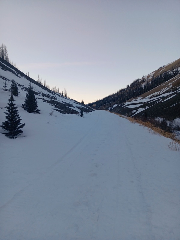
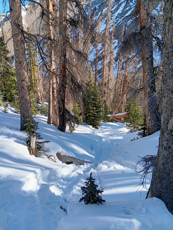
I woke by 5:30 and started driving up Bachelor Road away from town. I turned left at Forest Rd 503. Bachelor dead ends here and I started driving up the 2wd dirt road towards the West Willow Creek Trailhead. In a normal winter this intersection with 503 and Bachelor is where you would park because the plowing stops there.
The road was only lightly covered in snow, so I preceded up it cautiously and got a little past a mile before parking. I probably could've kept driving, but there was a place to turn around here and I decided not to push my luck. I had hiked the length of the road a few years ago and was happy to be shaving a few round-trip miles off the day. I geared up and started booting the road at first light.
Day of Climb: Friday, February 6th, 2026
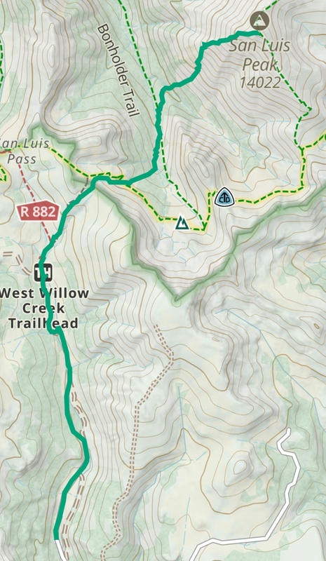
Peak: San Luis Peak
Trailhead: West Willow Creek
Mileage and Elevation Gain: Approximately 13 miles and 5400 feet of gain.
Gaia track.
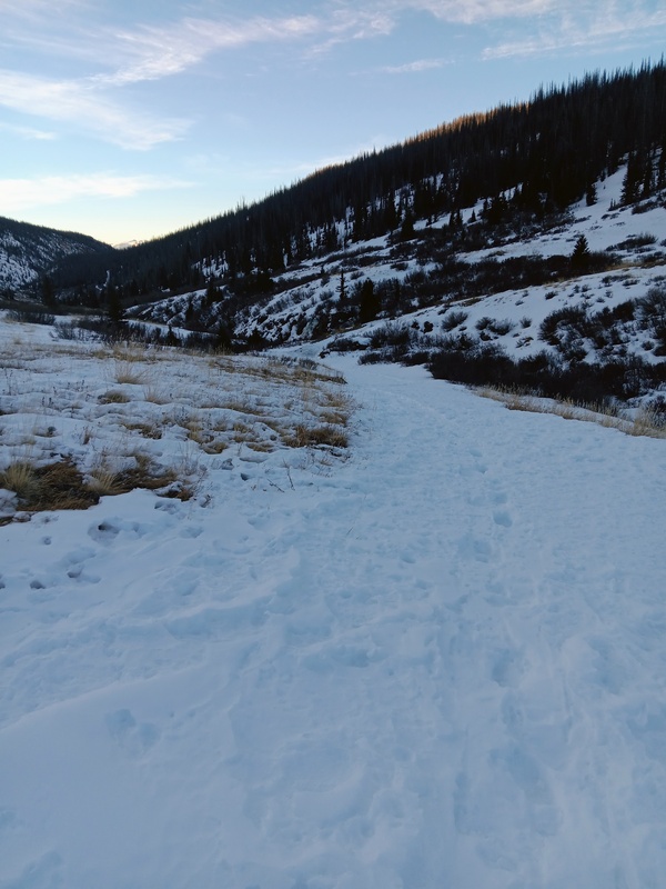
I came up on the Equity mine after a bit more than a mile and veered left up a steep hill to stay on 503. As it turned out I could've easily driven to the mine or at least very close to it. Oh well, I got a good warm-up in. This next section of 503 had more snow and wasn't drivable. Flotation was still not necessary though with the snow still plenty frozen after the cold night.
It was then about 1.5 miles from the mine to the 4wd parking area. The road turns west here (don't follow it) and I continued straight (north) now on the standard trail to San Luis. I put snowshoes on here and continued northeast to the pass.
Walking the road after The Equity Mine.Further up the road.At the trailhead. The rocky point ahead is the pass.Start of standard trail.Creek crossing.
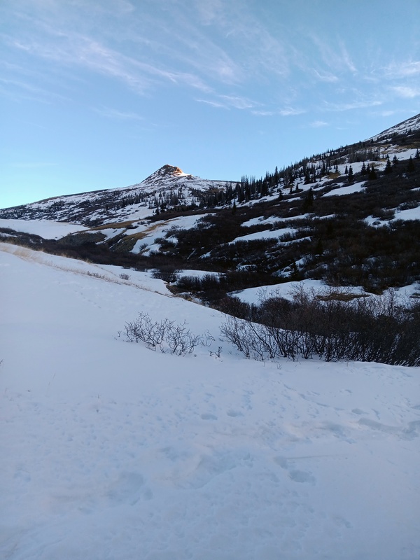
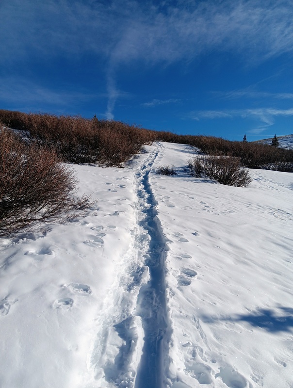
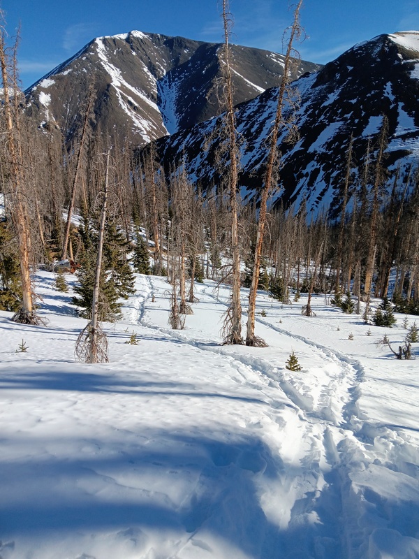
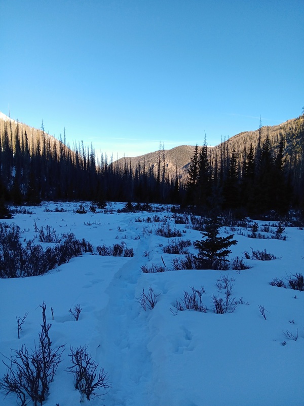
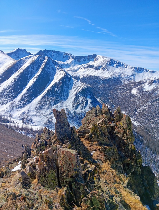
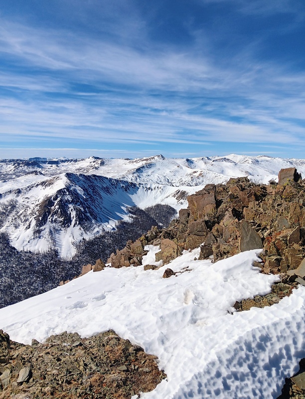
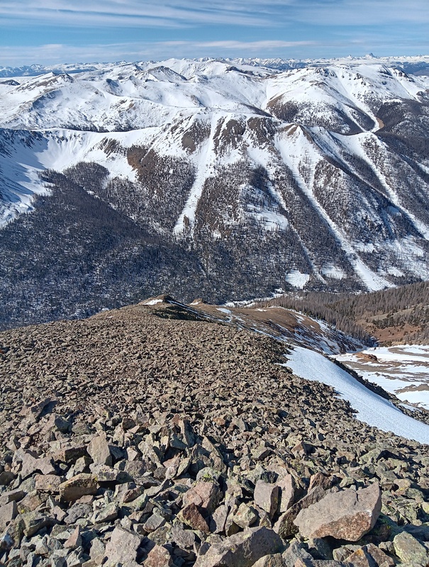
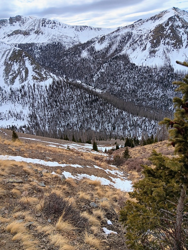
After crossing West Willow Creek and a tributary, the pass is about 700 feet of elevation gain. I followed a nice snowshoe track which paralleled a skin track and reached the pass fairly quickly. The pass always affords a nice view of San Luis Peak itself and the conditions to expect for the rest of the outing. It's a good place to guage how the rest of the day will go, and it was looking like it would go well.
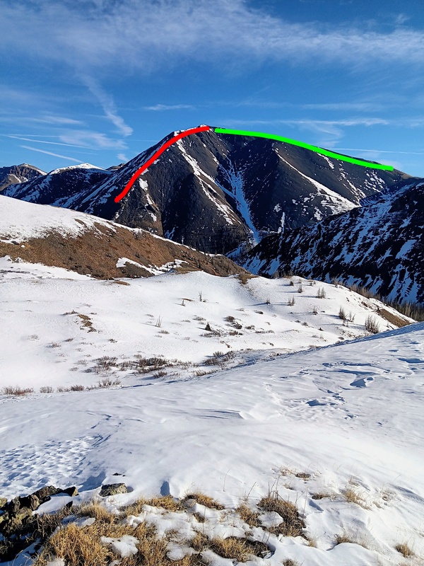
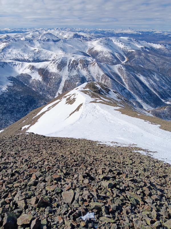
As expected, the West Ridge of San Luis, my intended route, looked pretty bare. This ridge is the typical winter route for San Luis because it's often windblown and climbable while the standard route usually holds plenty of avy danger. The Pointfest route is also a winter option. I had done this route in summer without an issue, but discovered in my previous San Luis attempts that it's another animal in winter.
Starting up from the creek bed.A short willow section as I approach the pass.Green line is the standard South Ridge route. Red is my route to the summit.
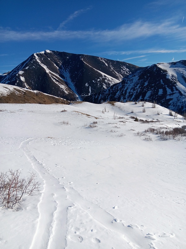
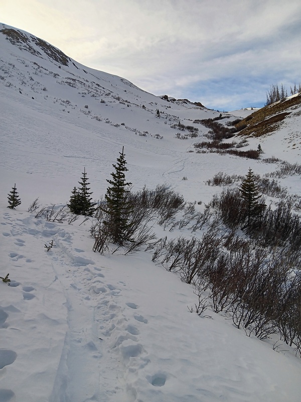
After enjoying the views and a quick snack, I dropped off the pass heading towards the Spring Creek Valley below. Unfortunately, to climb the West Ridge of San Luis you need to first lose about 1100 feet of elevation, so reluctantly down I went.
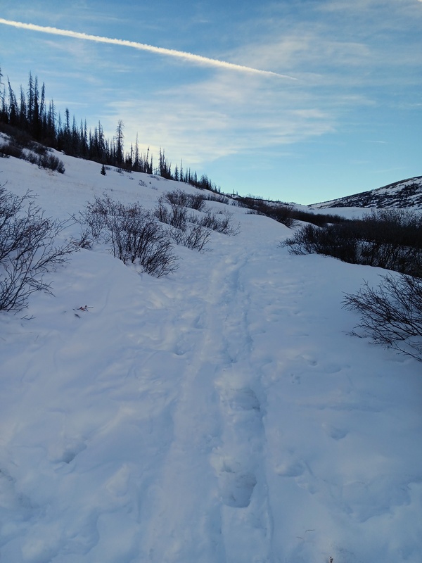
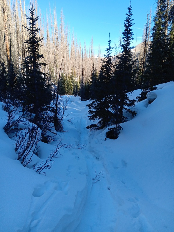
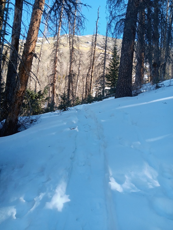
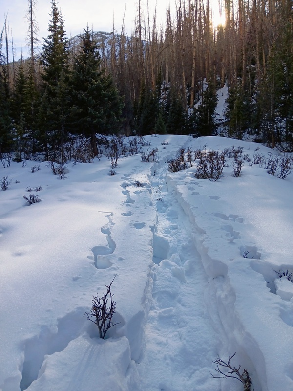
There was still a nice track to follow and the snow wasn't too deep. Snowshoes were still very helpful though. It would've been posthole hell without them. Initially, I headed southeast staying close to the standard trail. Upon entering the woods, I turned away from the standard trail and went northeast, and then more north, following the trench down into the Spring Creek drainage.
Dropping down from the pass.Nice track.Going northeast into the drainage. Still following the dual snowshoe/skin track.
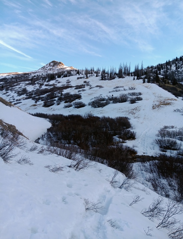
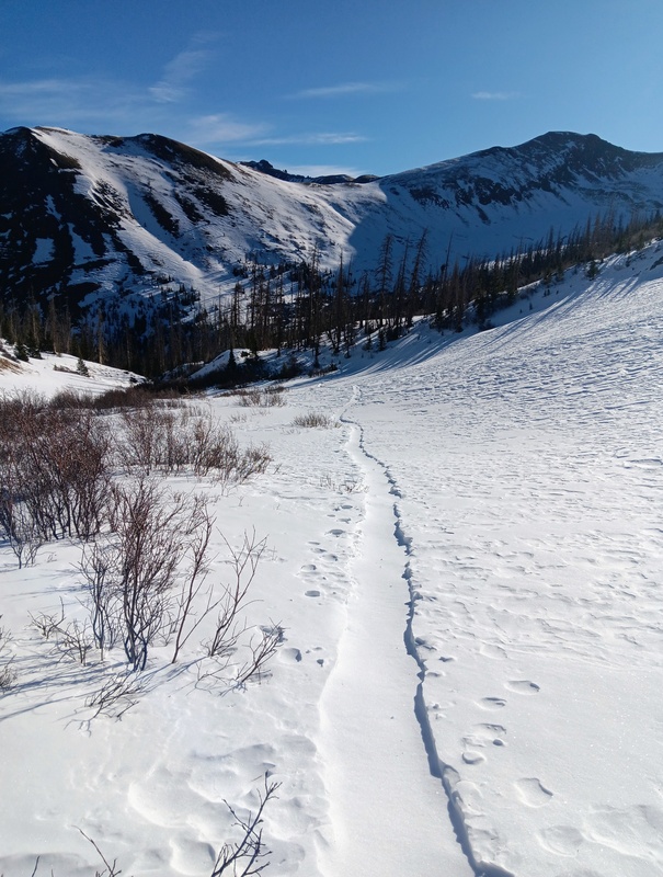
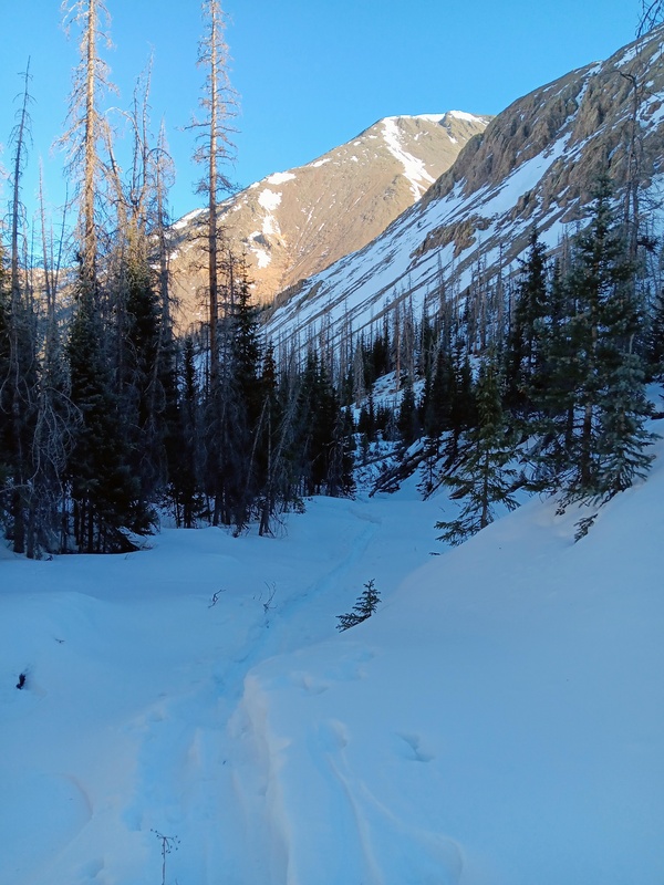
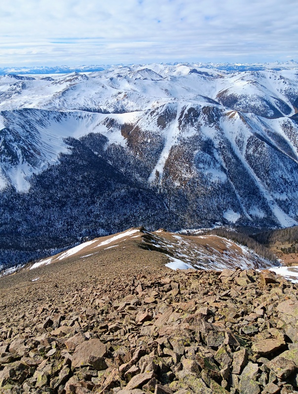
The Spring Creek drainage was heavily wooded with deep snow. Luckily, the solid trench continued and I took full advantage. I progressed quickly through this section thanks to the slight downward angle of the trail as it followed the creek. After not long, travel turned northeast over a small ridge and I found myself at the base of the southwest slopes of San Luis after climbing out of a second creek bed.
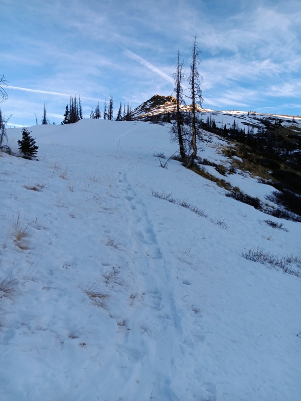
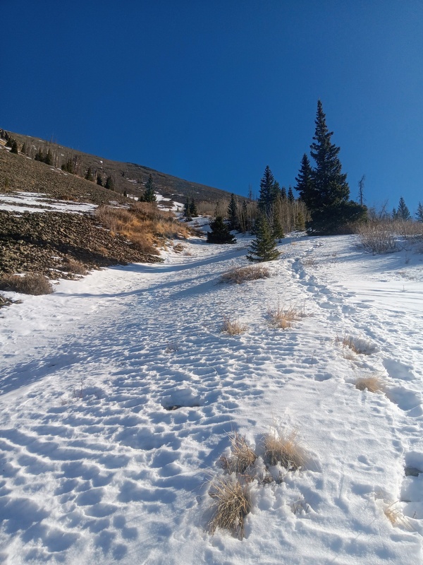
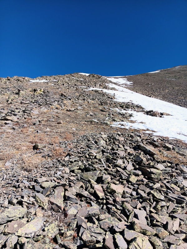
There was some nice, climbable snow on the lower slopes, so initially, I kept my snowshoes on to utilize my heels lifts a bit on the steep incline as I started up towards the West Ridge. This didn't last long though and the snow quickly petered out. It looked like snowshoes would not be needed for the rest of the ridge, so I preceded to find a good spot to stash them and continued on up the steep slope.
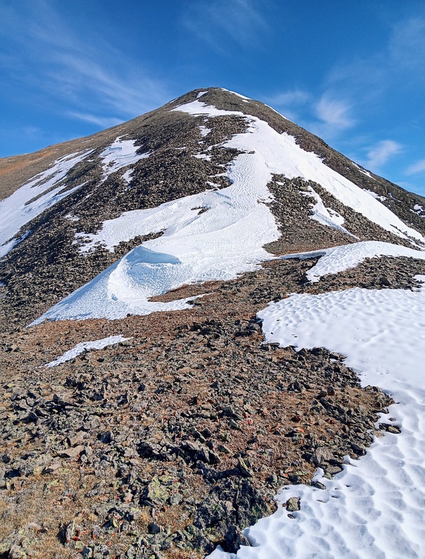
Heading down to Spring Creek.Following Spring Creek.A nice view of the West Ridge of San Luis.An open meadow I passed through.Trail turning towards the southwest slopes of San Luis.Looking up the southwest slopes of San Luis.
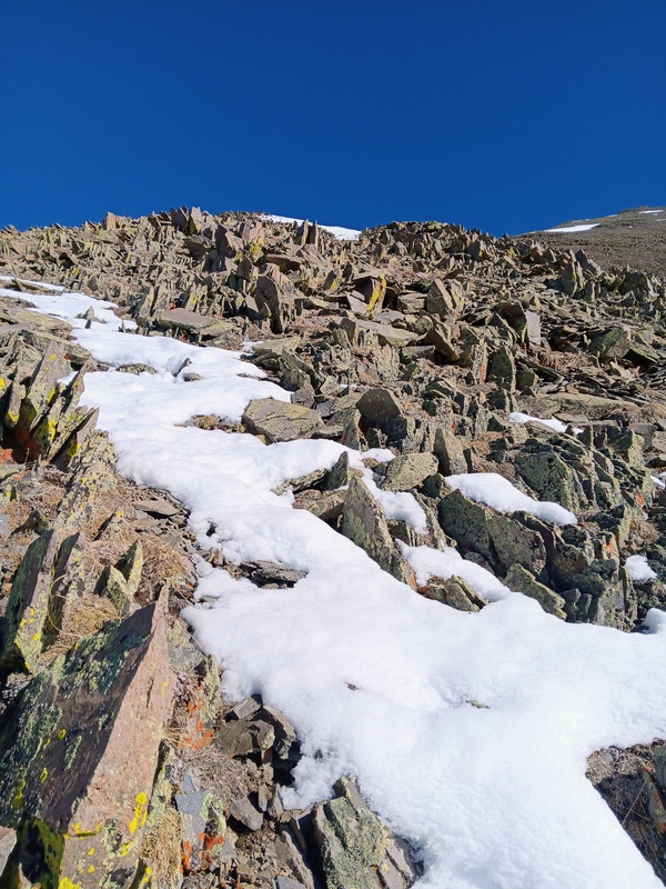
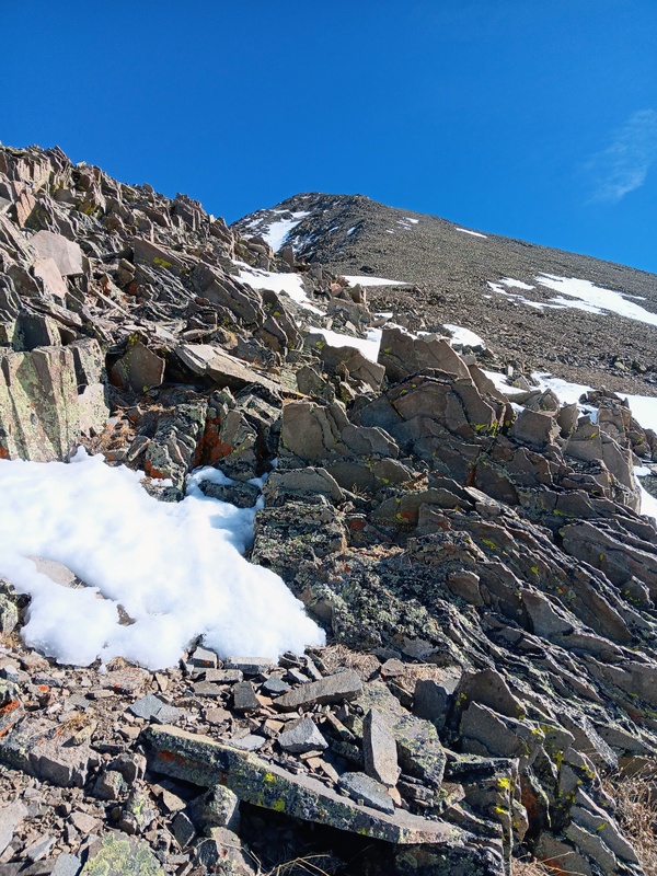
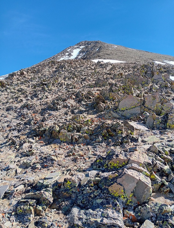
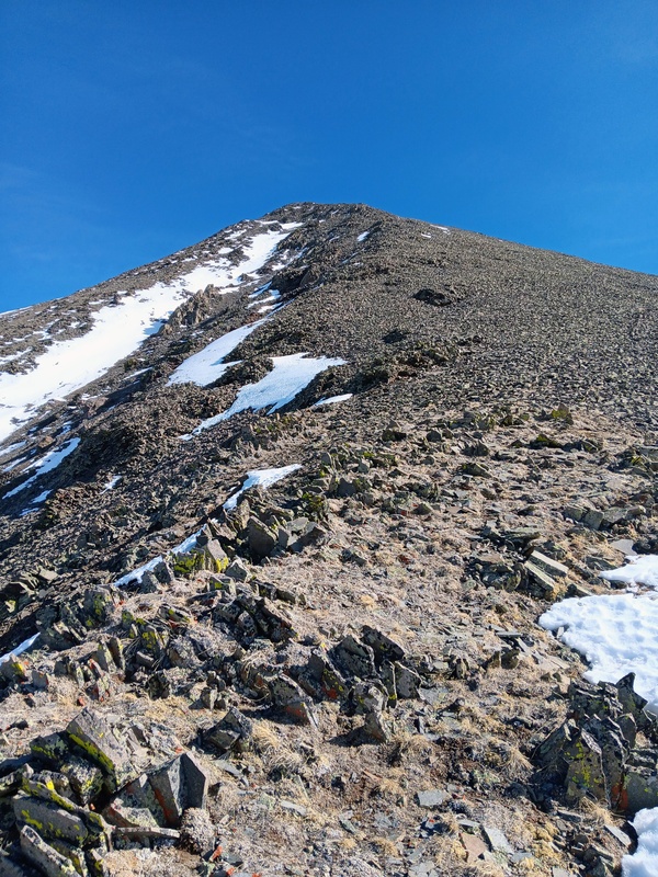
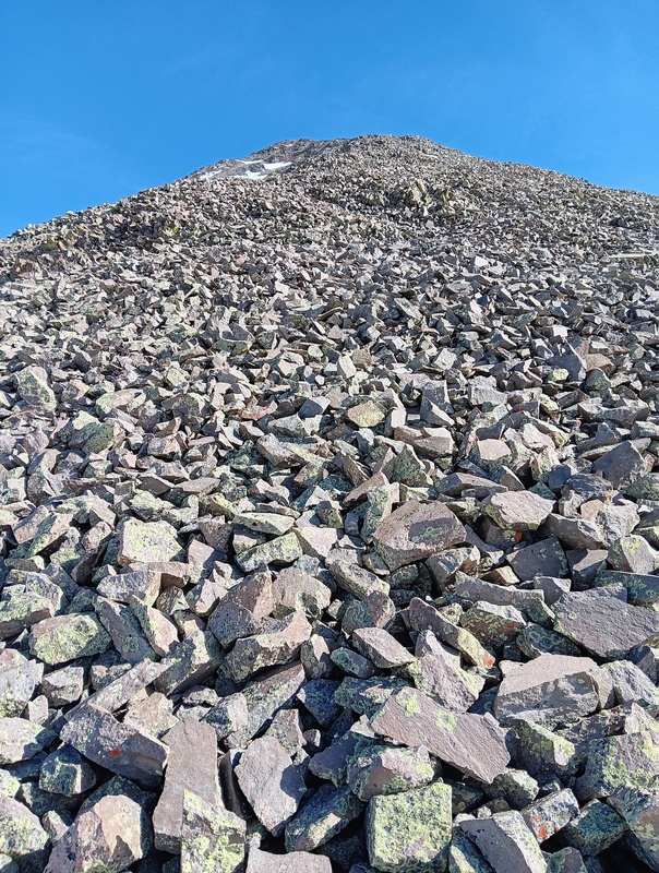
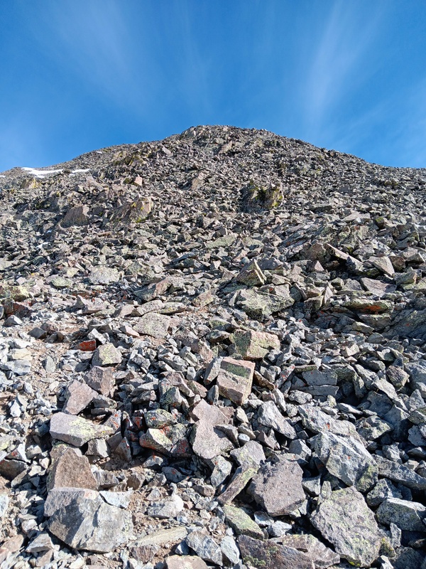
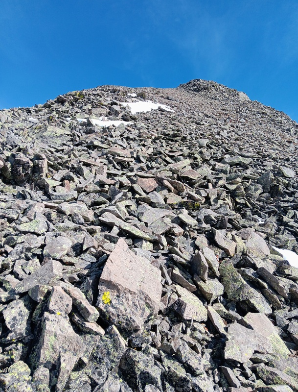
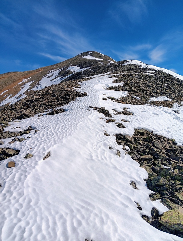
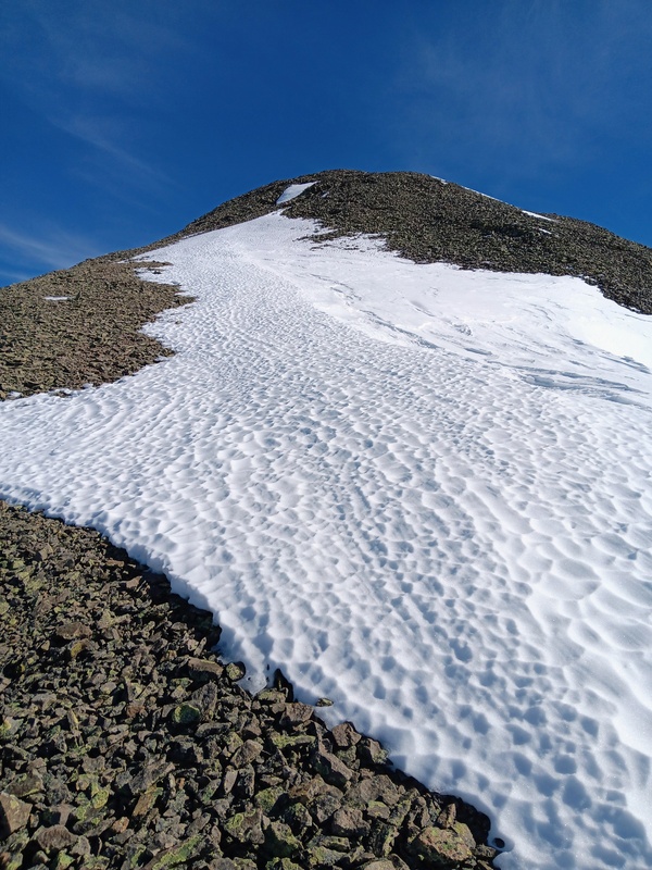
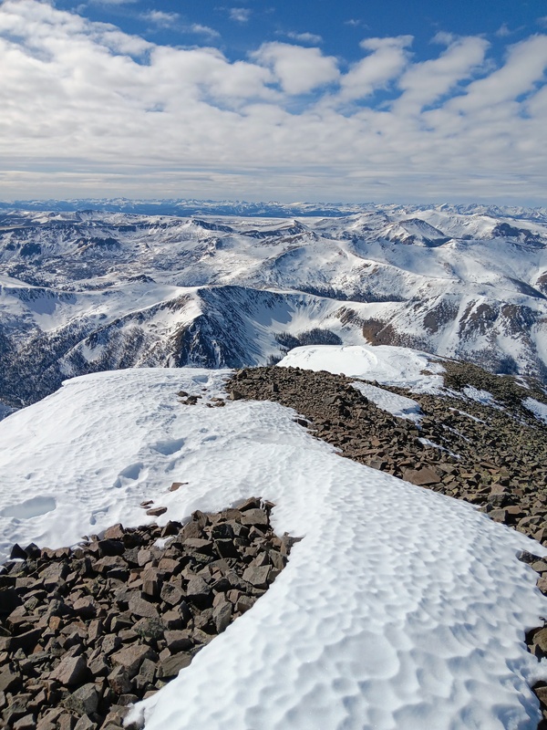
It was about 3,000 vertical feet from the Spring Creek drainage to the summit of San Luis and I was just getting started. After dropping my snowshoes, there was a short, fun scramble section to get by a couple rock out-croppings and then a talus slope to gain the ridge at 12,800 feet.
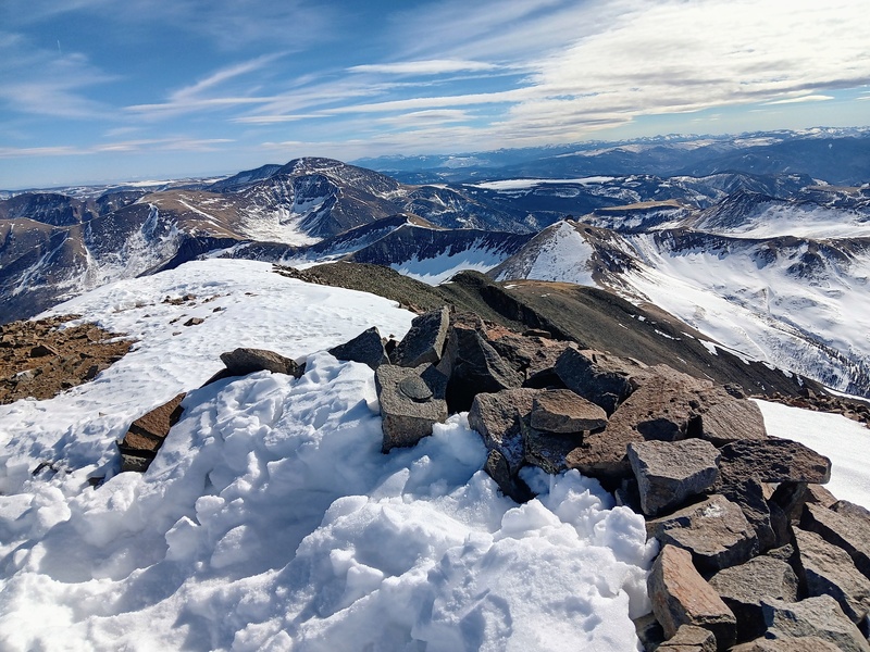
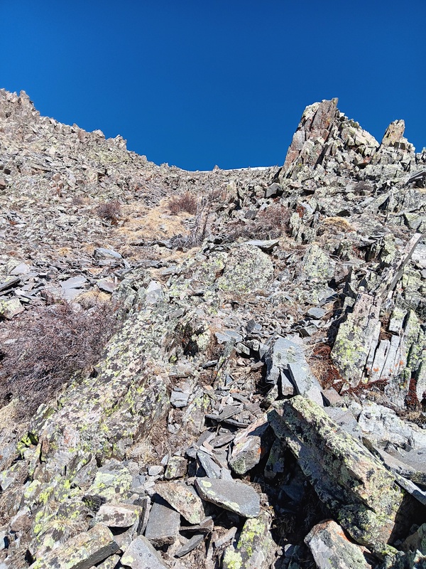
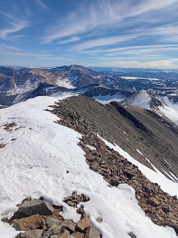
The rest of the climb was just a long, steep grind up a mix of talus and scree. Surprisingly, there was occasionally even signs of a faint trail beaten into the rocks. There was some snow here and there along the ridge which was a welcome relief from the rock, but it was mostly dry, and I reached the summit after not too long.
Short scramble.Cool rock formation.Climbing to the ridge.Almost to the ridge.Looking up the ridge.Looking back.More ridge.Fun, fun, fun.Almost to the upper ridge.Looking down the ridge.Climbing along the upper ridge with the summit now in view.Getter closer.Final section.
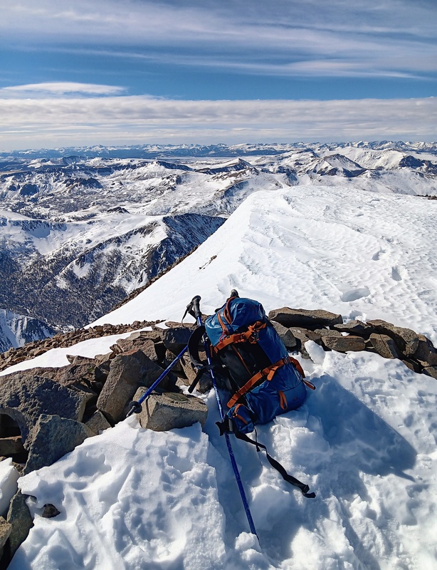
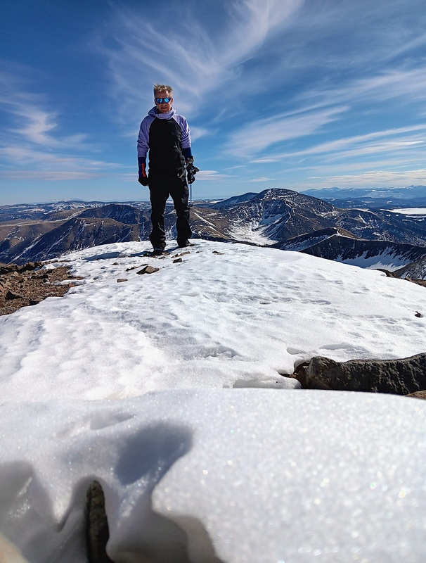
I reached the summit by 12:30. It felt great to finally get my San Luis Peak snowflake❄️. This was a great route and it's easy to discern why it's the preferred winter choice. I can see this route working well in summer too if you want a more secluded option. I've been discovering over the years that climbing winter 14ers is a wonderful way to learn of the many interesting alternate routes to climb our great mountains.
The summit was practically windless and I spent much to long enjoying the fruits of my success. Hopefully this hadn't jeopardized my goal of finishing before dark. With this in mind, I quickly readied myself for descent and reluctantly departed the summit.
I retraced my steps down the ridge almost exactly and remembered to pick up my stashed snowshoes. I kept my snowshoes off going back up the Spring Creek drainage. I postholed a lot in there but, it was nice to be in boots to climb over all the deadfall. The snowshoes went back on for the climb to the pass and they stayed on until just after reaching the trailhead. The road walk back to my truck was uneventful and another winter 14er summit was in the books. Amazingly, I didn't see another climber all day. It was just me and the birds🐦.
Summit!My new Burton backpack.Timer photo of me.Heading back down.West Ridge.Fun in reverse.Nearing snowshoe stash.Nice trench.Climbing back to the pass.
My GPS Tracks on Google Maps (made from a .GPX file upload):
Can't believe I'm leaving the first comment as long as this has been posted. Solid work, Judd!! Incredible effort and kudos. That ascent line you took looks like a calf-burner fo sho! And man, smart to get this one in a low snow year. When I got it, those back basins looked like Hoth. You've hit some good peaks this season.
Thanks Kiefer!!! I was really excited to get San Luis this year. That line to the summit was something else. It's so serene back there though I actually enjoyed it. You've hit some good peaks yourself this winter.
For some reason this was one of my favorite winter 14ers. Took me two times to get it since I thought coming in from the Creede side would be easier the first time. "Twas easier the year I did it from Cochetopa. Snow changes year to year and minute by minute. Nice seeing you out there knocking these off. How do you feel after yesterday? Nice work on the Needle!
Thank you!!! I can see why SL is your winter favorite. It's beautiful with snow and the solitude back there is amazing. Wow, getting there from Cochetopa must've been a huge effort. Thanks about Needle! That was a big day and I'm definitely feeling it. So happy to be getting after these again.
Caution: The information contained in this report may not be accurate and should not be the only resource used in preparation for your climb. Failure to have the necessary experience, physical conditioning, supplies or equipment can result in injury or death. 14ers.com and the author(s) of this report provide no warranties, either express or implied, that the information provided is accurate or reliable. By using the information provided, you agree to indemnify and hold harmless 14ers.com and the report author(s) with respect to any claims and demands against them, including any attorney fees and expenses. Please read the 14ers.com Safety and Disclaimer pages for more information.
Please respect private property: 14ers.com supports the rights of private landowners to determine how and by whom their land will be used. In Colorado, it is your responsibility to determine if land is private and to obtain the appropriate permission before entering the property.
")
")
")
")
")
")
")
")
")
")
")
")
")
")
")
")
")
")
")
")
")
")
")
")
")
")
")
")
")
")
")
")
")
")
")
")
")
")
")
")
")
")
")
")


