
| Report Type | Full |
| Peak(s) |
Kelso Mountain - 13,172 feet |
| Date Posted | 01/07/2026 |
| Modified | 01/08/2026 |
| Date Climbed | 12/21/2025 |
| Author | matt_foco |
| Kelso Mountain: a sunrise, a ridge, and a goat family in a Winterless Winter Wonderland |
|---|
|
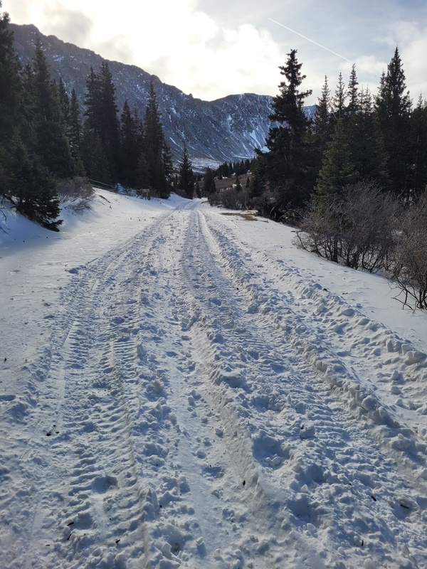
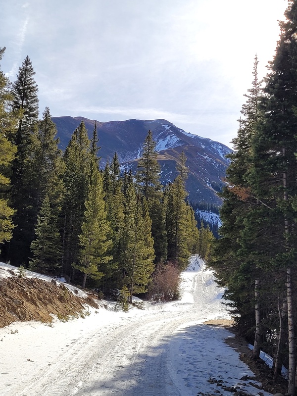
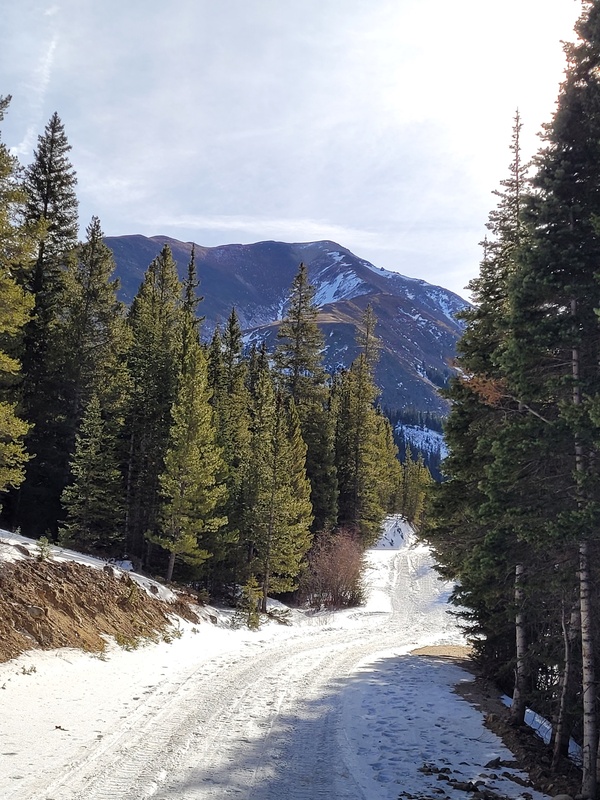
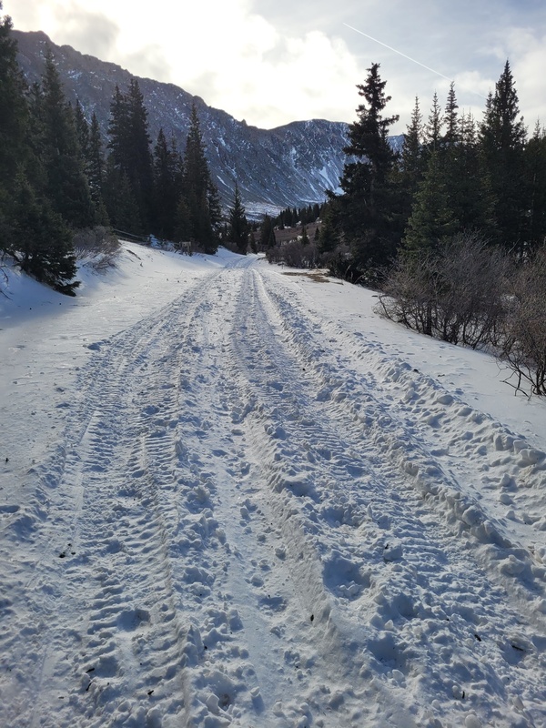
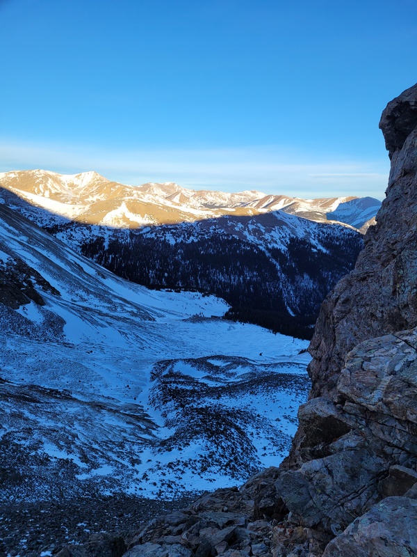
KELSO MOUNTAIN VIA SOUTHWEST RIDGE- 12/21/2025 13.15 MILES RT - 3,450 FEET GAIN I figured I post a trip report of my little hike up Kelso Mountain last month. With the upcoming storm, I am sure conditions will change, but that doesn't mean I can't write a trip report! Kelso Mountain has always appealed to me as a perfect place to watch a sunrise on Torreys, or a great peak for some quality alone time away from crowds. Over the years however, I always skipped it despite being in this basin numerous times. It never caught my fancy as a must do summit or one that I could not live without. Catching sunrise on Grays and Torreys from Kelso Mountain would happen, but not this trip, or the next, or the next. The hike just did not seem appealing based on the 14ers.com route and I could always catch a sunrise somewhere else. Not to disparage the standard route up Kelso Mountain, but honestly it looked just steep and boring. Turns out all of these thoughts are true, but now I have a different lens to view peaks through. With my recent Achilles Tendon rupture and the torn Peroneal Tendon, I have been slowly progressing my distance and gain via the Colorado Physical Therapy Method. I had already done 12 peaks over 13,000 feet during this journey (see my recent trip report detailing these peaks), but still there's a long way to go to full recovery. As this journey continues, I have been revisiting previously skipped peaks or overlooked routes that could be the next step up for me. During one of these brainstorm sessions, I recalled one small section of Kelso Mountain that has peaked my interest over the years: the mini ridge from the intersection with Kelso Ridge. Would this make the road slog worth the push? "Ehhhhh," I thought, "I don't want to do the long road walk again for one 13er." I seemingly kicked this can down the road yet again. Even the very night before this hike, I was mainly looking at doing some bicentennials in the Mosquitos. But I couldn't shake Kelso Mountain from my brain. There was something about this mountain this time, that kept calling to me. Maybe this was the day that I stopped putting it off, messed around on the ridge, and caught that sunrise? After reading into a few trip reports and not feeling the longer drive to Leadville, I was finally roped in. Kelso Mountain was to be the next challenge on this recovery march uphill both ways in the snow, and The RT distance from I70 would be my longest push yet. With the weather remaining horrifyingly warm and dry, it was go-time on operation Achilles 13 Rehab. After a restless night (I may have slept for a total of 20 minutes,) I set out from Fort Collins at 2 A.M. As mentioned previously, I was determined to watch the sunrise on Torreys, so the earlier the start the better. Now this non-existent winter has some perks to it, such as the ski traffic, or lack thereof. For a hiker such as me, this was wonderful. I hit the road from the Bakersville exit at 4:00 A.M, slowly walking my way up to the summer trailhead. I had tried to drive my truck further up the road for about 100 yards but thought better of it. This turned out to be the right choice. Throughout the first few miles to Stevens Gulch, there was a lot of evidence of folks that tried to "send it" further, but found themselves stuck in soft, deep snow. The snowpack is low, but that doesn't mean some fools can't get wrapped up in the winter hiking induced fever push to reduce the mindless slog RT. I know that, because I have previously been one of them on Fourmile Creek Road back in March of 2016. The road walk up to the summer trailhead was a simple walk as usual, with only microspikes as my aid. Beyond Stevens Gulch Mine, I even took them off because the bootpack/cat track/skier track was so defined that they weren't necessary. In the dark the road meanders on casually, like a lazy river. With the cool breeze flowing through the forest, the unsettling sound of flowing creeks in December, and a starlit night shining down, the walk was quite enjoyable. At the summer trailhead, I took a quick snack break and put the microspikes back on for the next stage of the hike. The entire way my Achilles and ankle were protesting, with the classic random cold stings that come from nowhere. But the more I moved the better they felt as the blood got pumping. 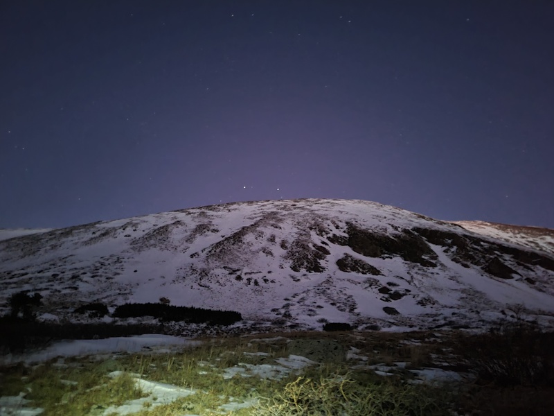
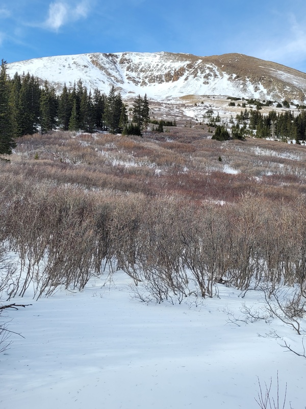
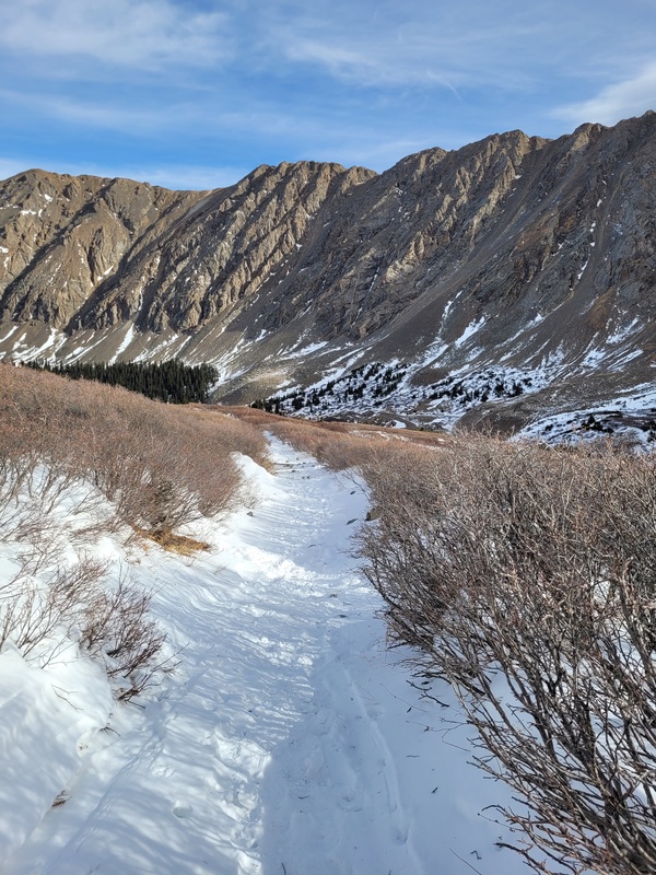
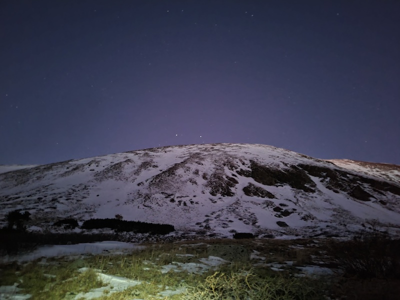
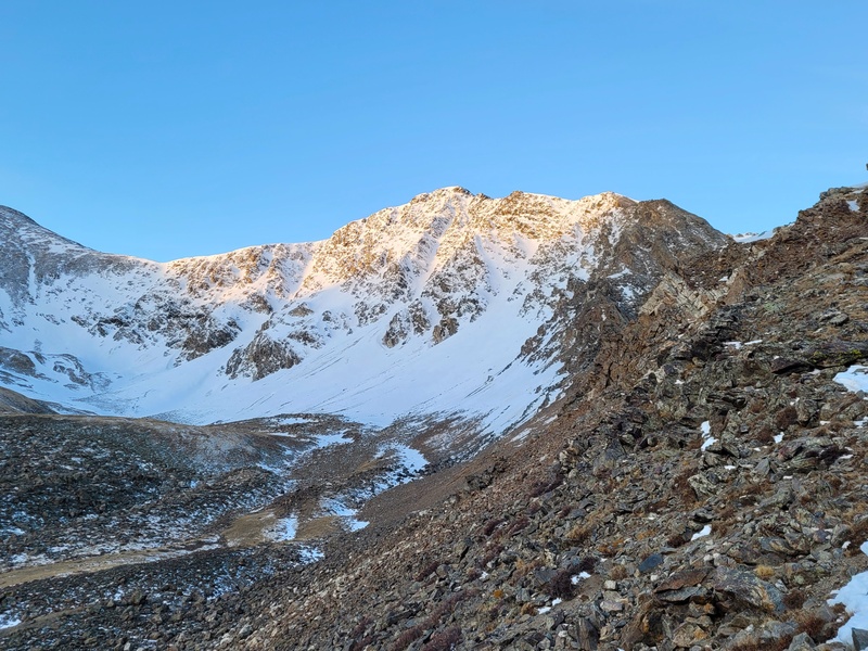
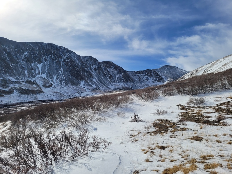
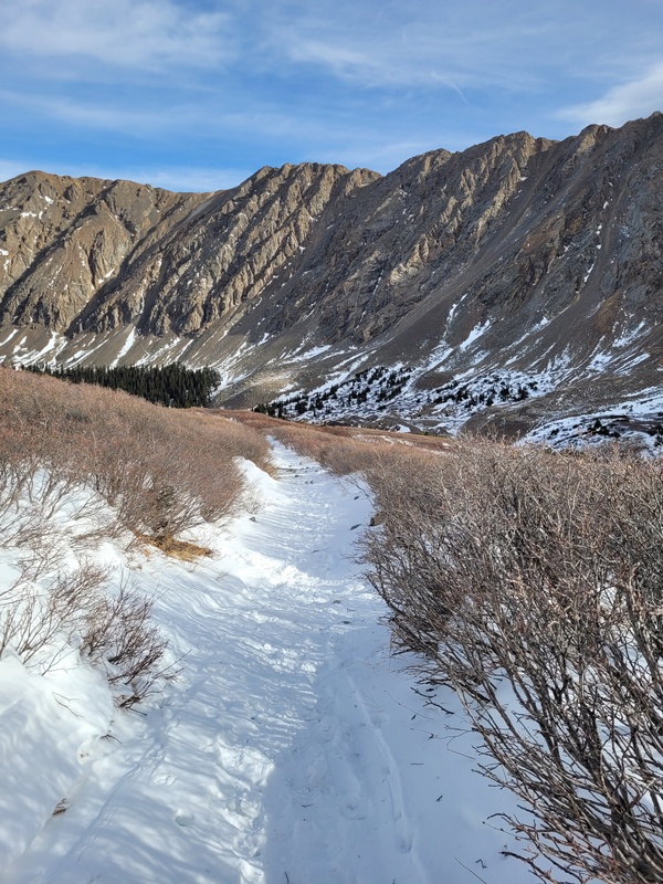
Within the basin itself, the snowpack remained disturbingly low, but the need for microspikes was still high. I only postholed once, but the bootpack in the morning still had a thin layer of ice. Up and up the trail winded through the willows, while stars highlighted on the surrounding peaks. Soon enough, first light began to peak out onto Kelso Mountain. This was my queue to get my butt moving so I did not miss the upcoming action. I began kicking myself, thinking about how I wasted time at the trailhead drinking my coffee, putting on copious amounts of Icy hot (note: Chekov's pain rub,) or wondering what coat to wear. None of this mattered in the end. As I rounded the corner around Kelso Mountain and my microspikes grinded against the now barren trail, Torreys began to shine. 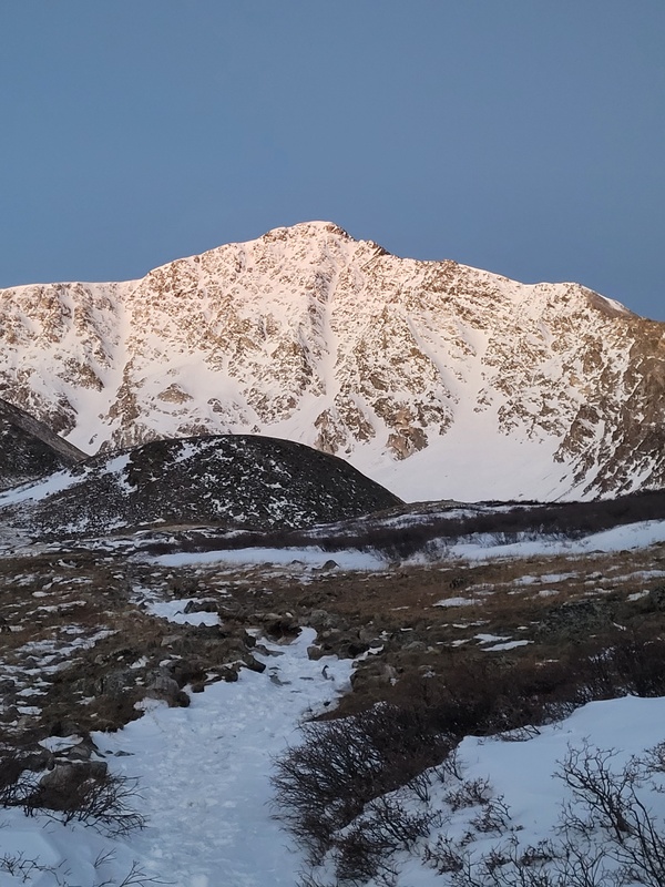
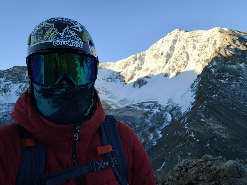
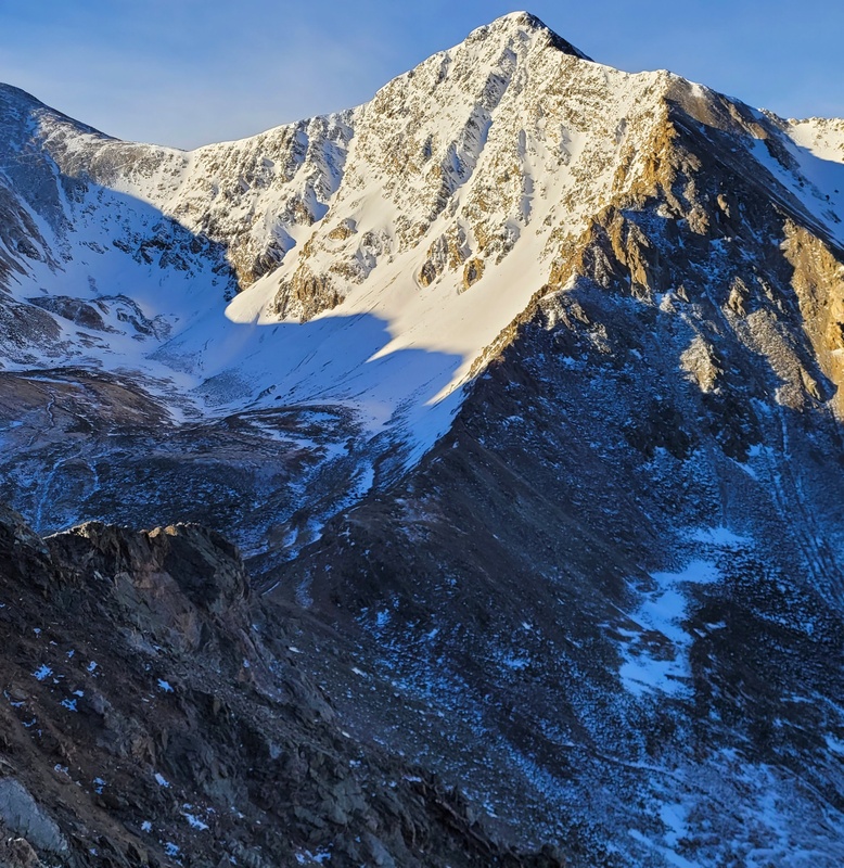
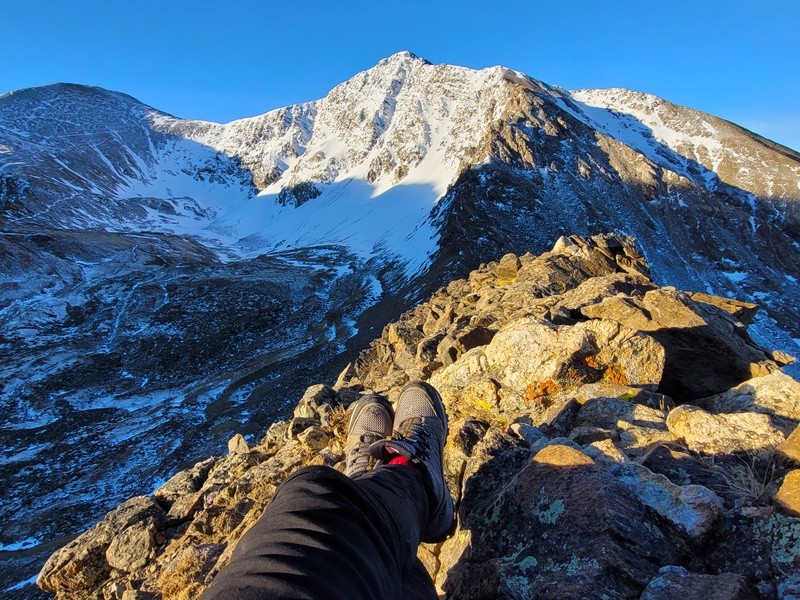
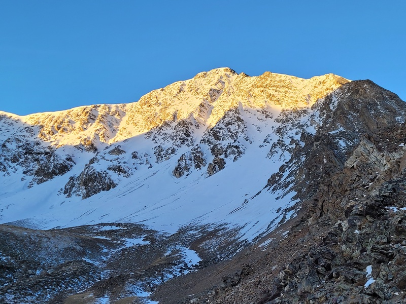
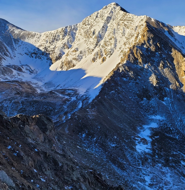
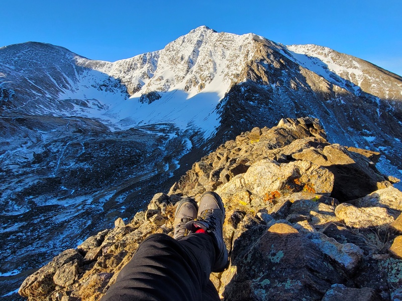
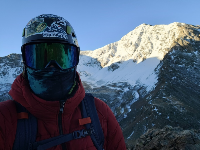
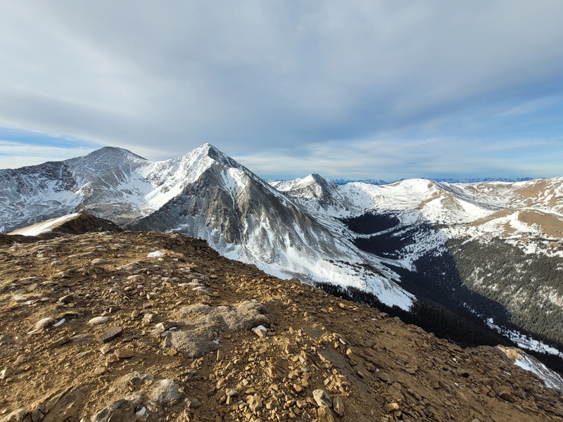
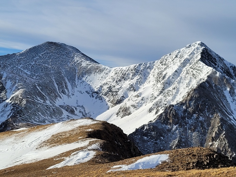
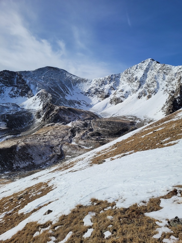
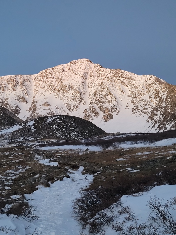
With the sun saying good morning, I made my way to the Kelso Ridge/Kelso Mountain Intersection, where I was warmly greeted by the wind ripping my face off. Regardless of the elements, having an entire basin to yourself at sunrise is a great moment, and one that I always strive to achieve. This was no exception. Torreys made a grand introduction as the beginning of a classic alpine sunrise began to take hold. The colors vibrated along the little cracks and ridges of Torreys, soaking into the rock as the sun bathed the changing colors in a flowing wave of beauty. One can always count on an alpine sunrise to ground you and show you a little bit of light. Just sitting there, taking in the sights, sounds, and feelings was profound. I've always held myself to never miss a sunrise, as we all only get a few in our lifetimes. This one is a highlight of mine. 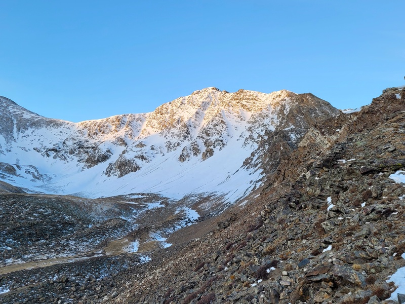
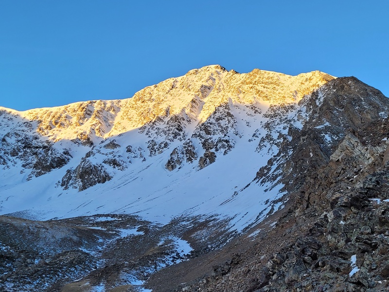
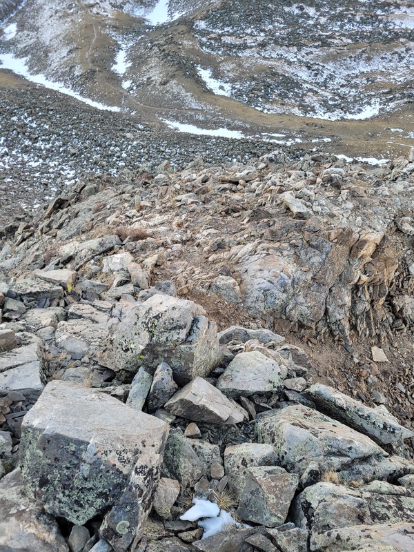
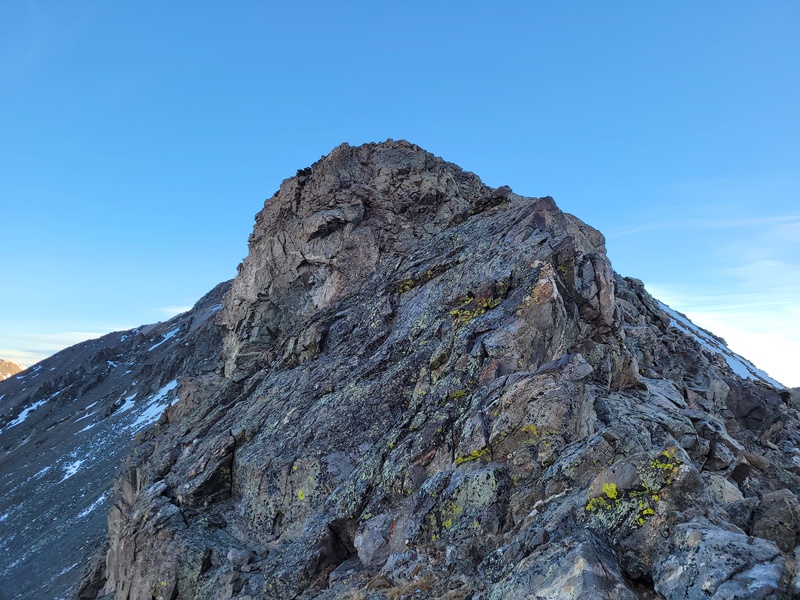
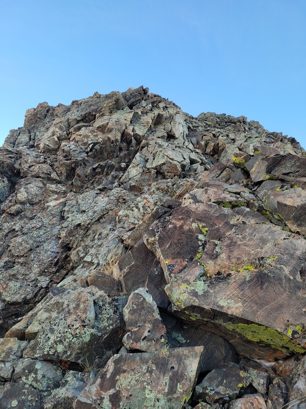
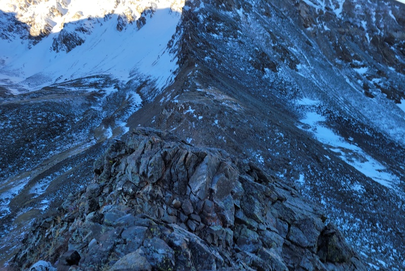
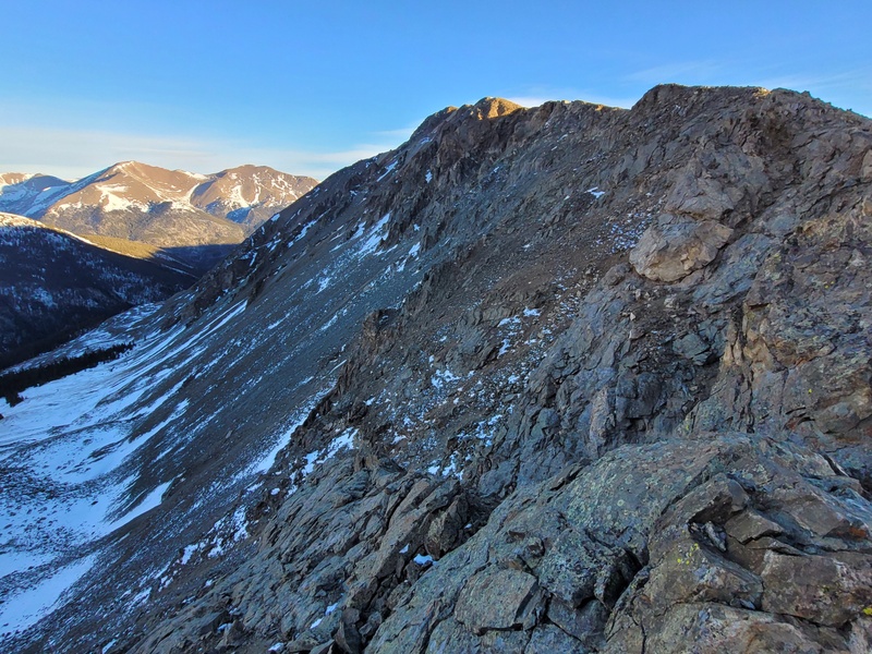
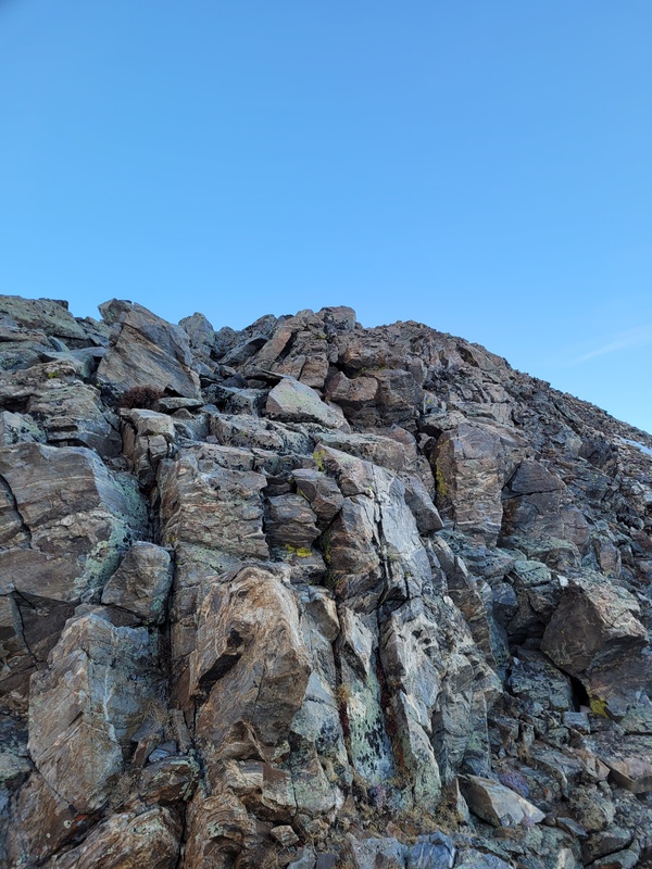
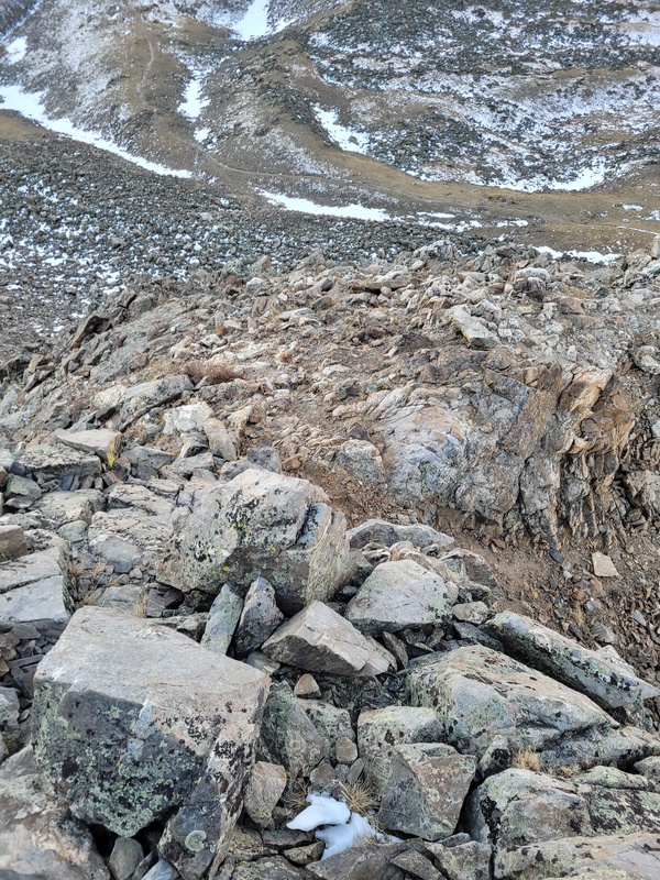
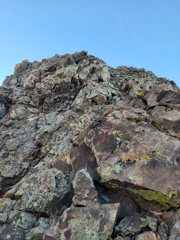
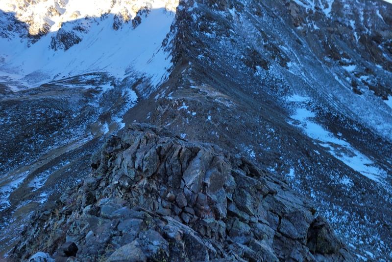
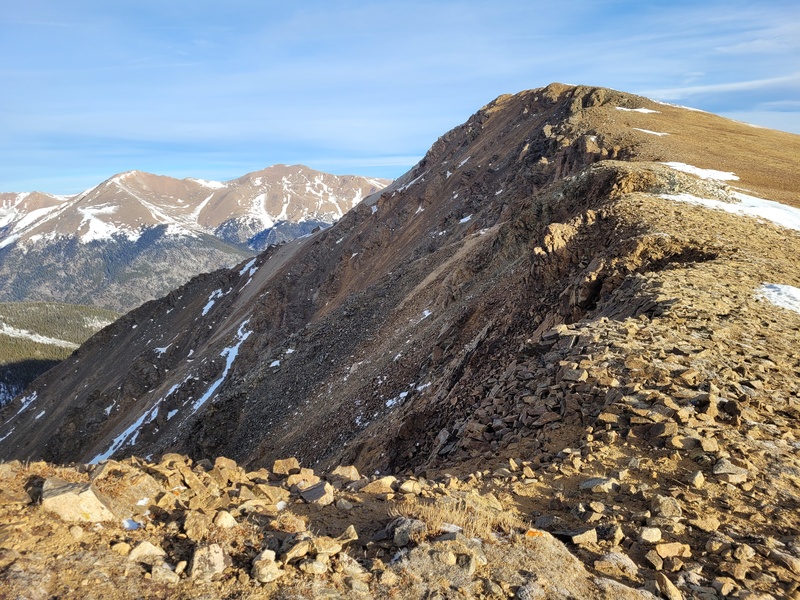
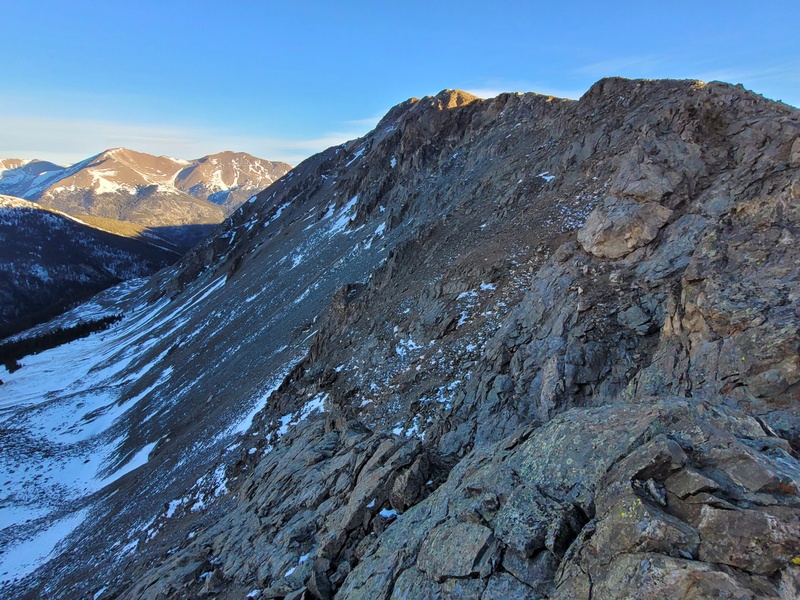
Alas, all good things must come to an end, and the next good thing must begin. I turned my attention to the Southwestern ridge up Kelso Mountain. From the beta I have gathered, the ridge can be entirely done as a class 2 stumble up the right side of the ridge. This is true; the ridge may look at times intimidating, but all of the difficulties can be bypassed on the right-hand side. I ask where the HELL is the fun in that? I came here for spice, and it was time to add just a pinch of cayenne. By sticking on ridge proper or climbers left, one can find many short sections of class 3 towers, semi knife edges, and fun scrambling. The rock was mostly solid, with some loose parts on the semi knife edges along the ridge proper. Overall, the best thing from a hiking perspective about this ridge is that every obstacle can easily be bypassed. If one ever should feel uncomfortable, just turn back down and go around the difficulties on the right. All the scrambling is entirely optional. I took my time on this ridge, taking in the sunrise behind me and keeping my Achilles safe. 
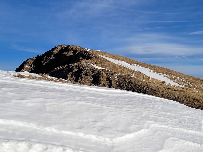
As the ridge molded into a rolling terrain of tundra slopes and snow drifts, I took off the helmet and dawned my beanie. One thing I failed to appreciate or dig deeper into during research was the seemingly never-ending number of false summits on Kelso Mountain. From the beta I was told there was 3 or so, but by my count it was 5 or 6. Slowly and surely Kelso Mountain rolls upward, bump by bump, snow drift by snow drift. Eventually my eye caught movement ahead. Sure enough, it was one lone Mountain Goat! They spied on me from ahead, probably wondering why I didn't just take the standard route to avoid half of the false summits. They eventually meandered on, leaving me alone to keep on slogging up the bumps. 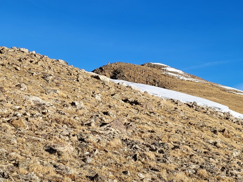
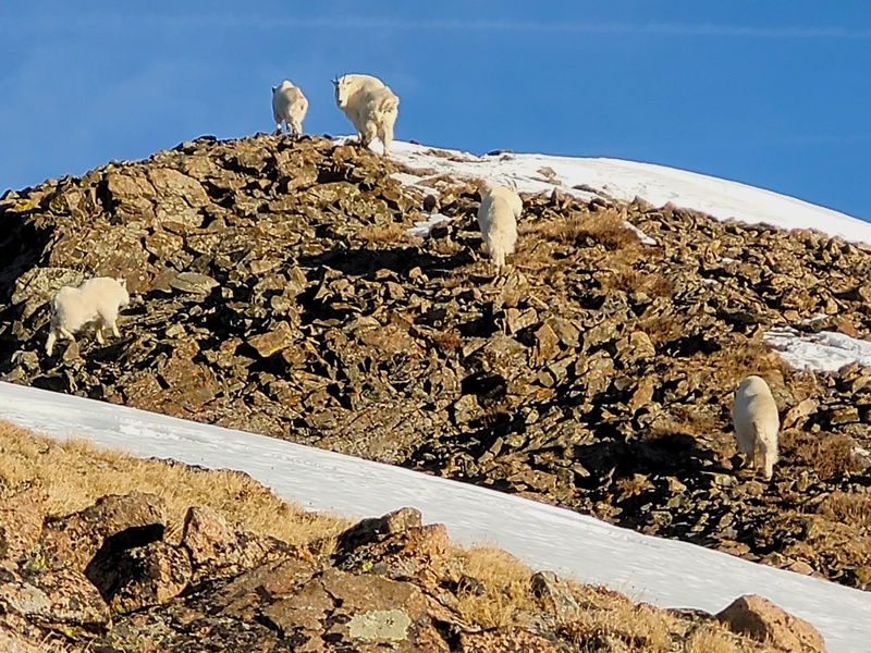
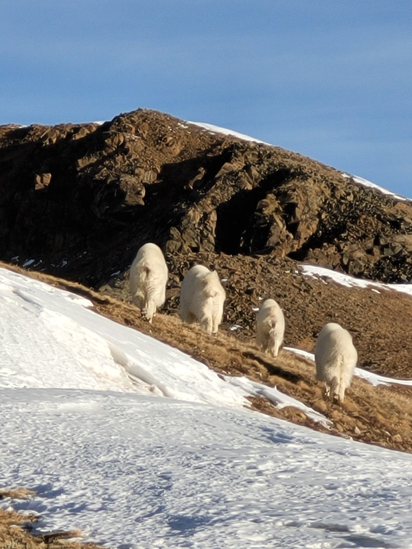
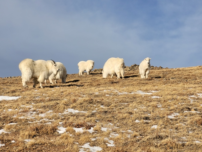
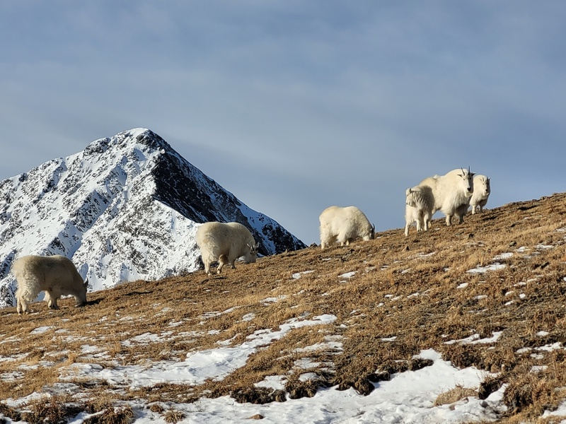
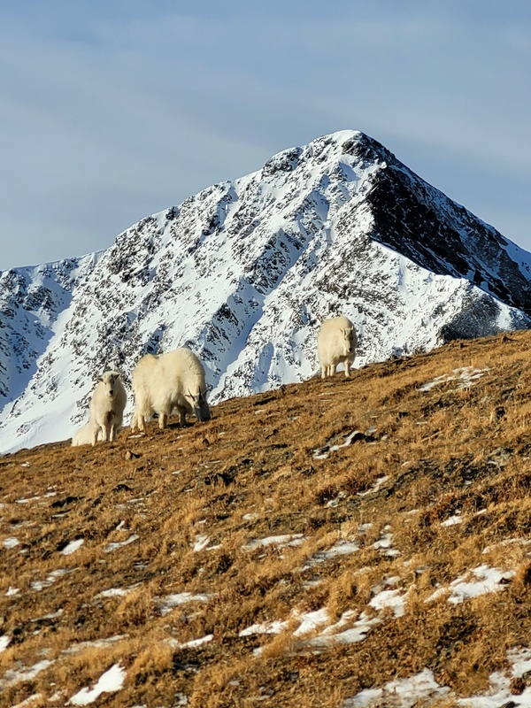
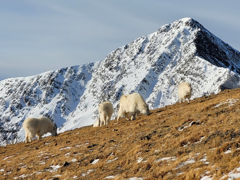
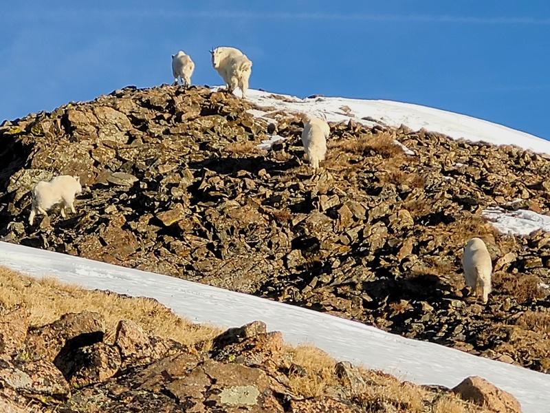
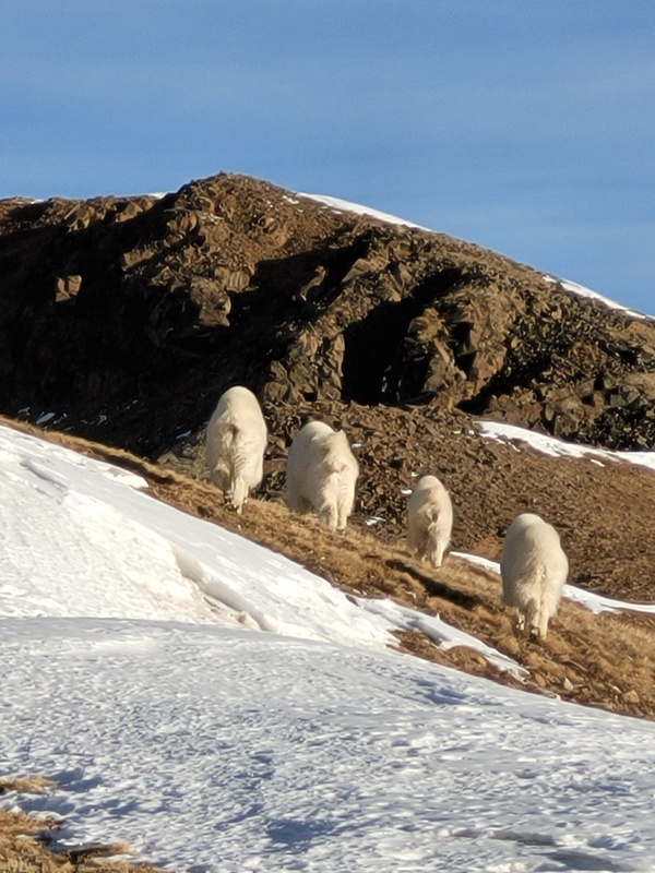
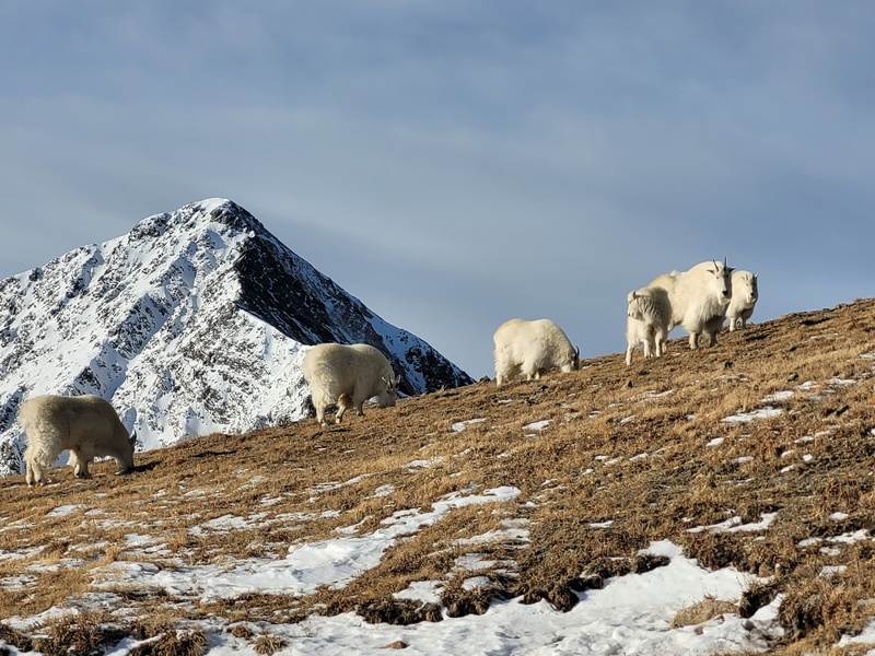
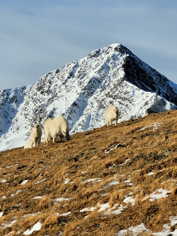
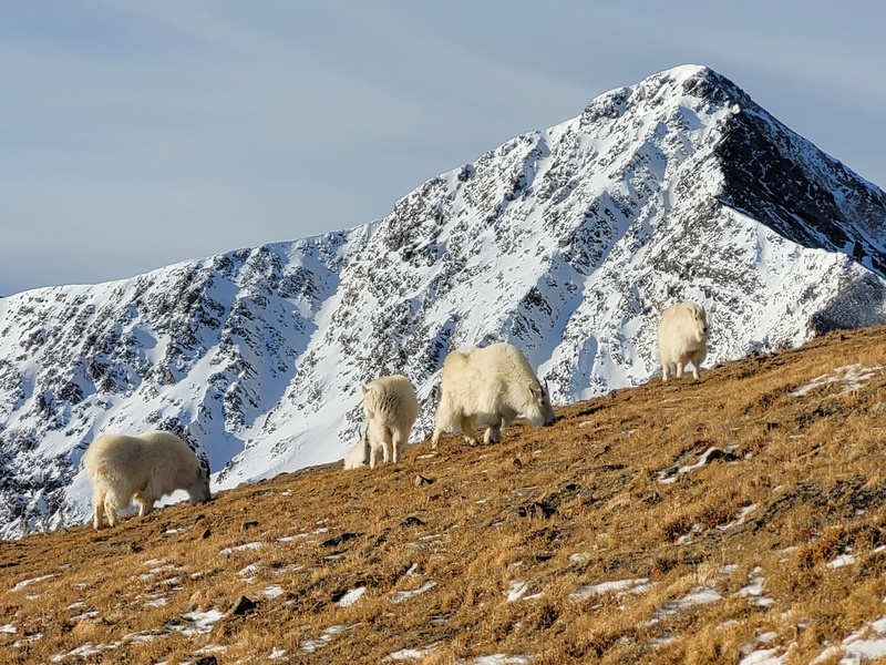
As I finally got my move on after an Advil break, I rounded one false summit and then bam! Mountain Goats galore. I had stumbled upon a whole family of Goats. The goats seemingly did not mind me too much as they made their way up the ridge, but I still gave them plenty of room. This Colorado traffic jam was something that slowed down my ascent time dramatically. Yet unlike Denver or I-25, this jam was quite enjoyable. I gave them proper space on each false summit, allowing for them to not feel too disturbed or spooked. With every false summit their numbers seemed to grow by 1 or 2, eventually ending at 10 Goats. After not seeing the Quandary Herd the previous week this was a surprise to be sure, but a welcome one. Eventually though, the traffic jam became bumper to bumper as the family just sat parked on one of the last false summits. To avoid this stop and go, I took an alternate route down and around the family. 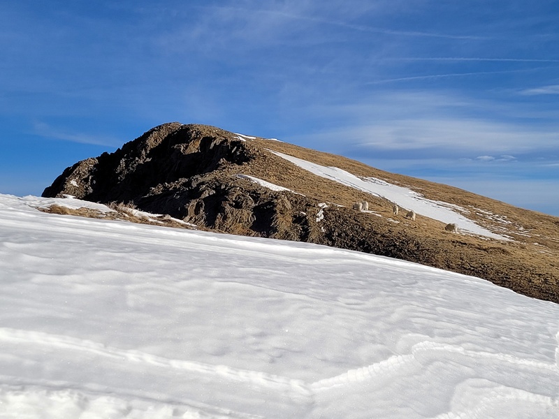
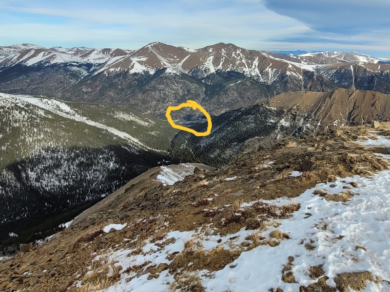
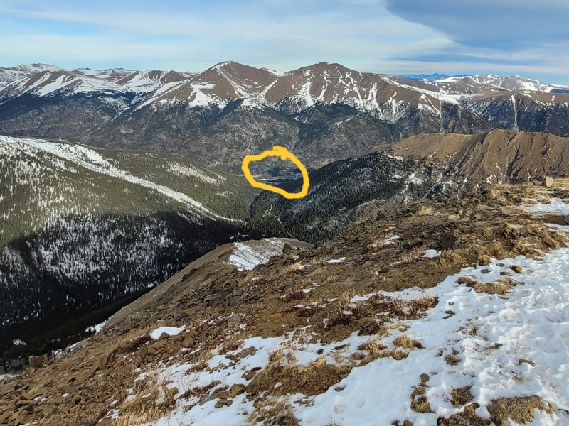
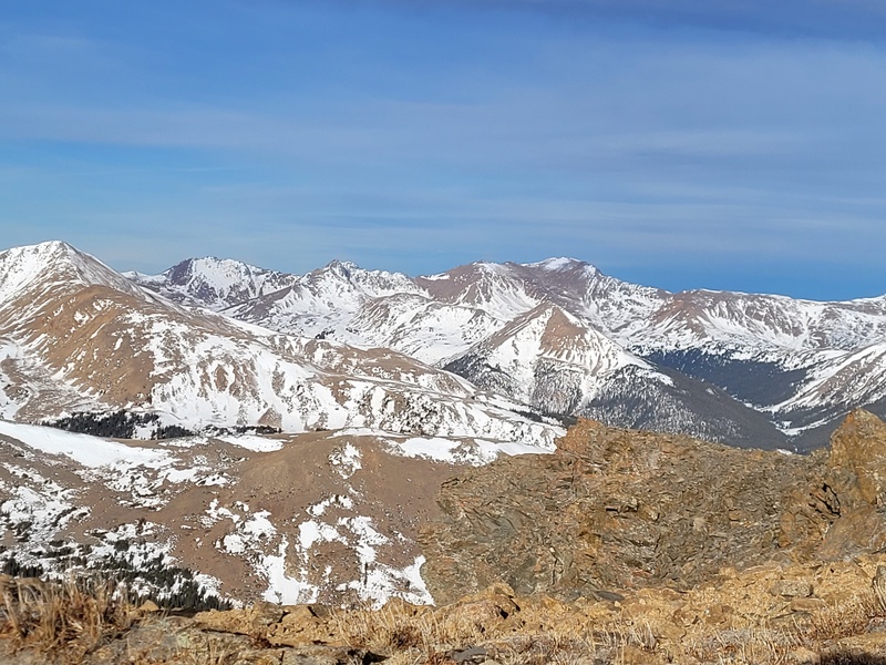
Just as I was getting fed up with the mountain, the last bump to the summit appeared. With a quick push to the top, I made it finally with time to spare on my estimated schedule. Like most 13er summits, the views were spectacular. Kelso Mountain is situated in a prime position to view many central Front Range friends, such as Edwards, McClellan, Pettingell, Parnassus, Bard, Sniktau, Cupid, Grizzly, Hassell, Golden Bear, Hagar etc. 140th 13er down! Even the mountain range that shall not be named made an appearance, with a cameo from Holy Cross in the distance. The best view outside Grays and Torreys was the one down onto the Bakersville exit. I was able to zoom in on my truck, thousands of feet below and miles away. It was quite the view! 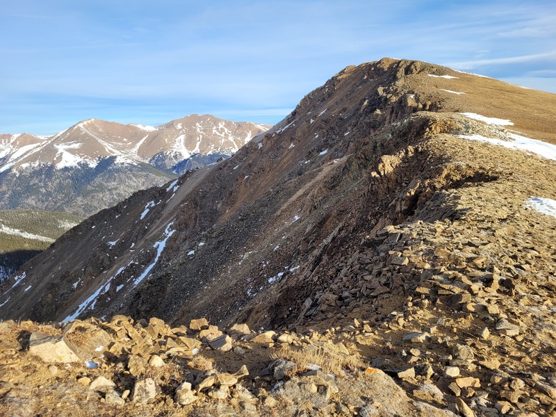
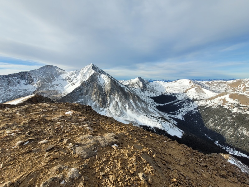
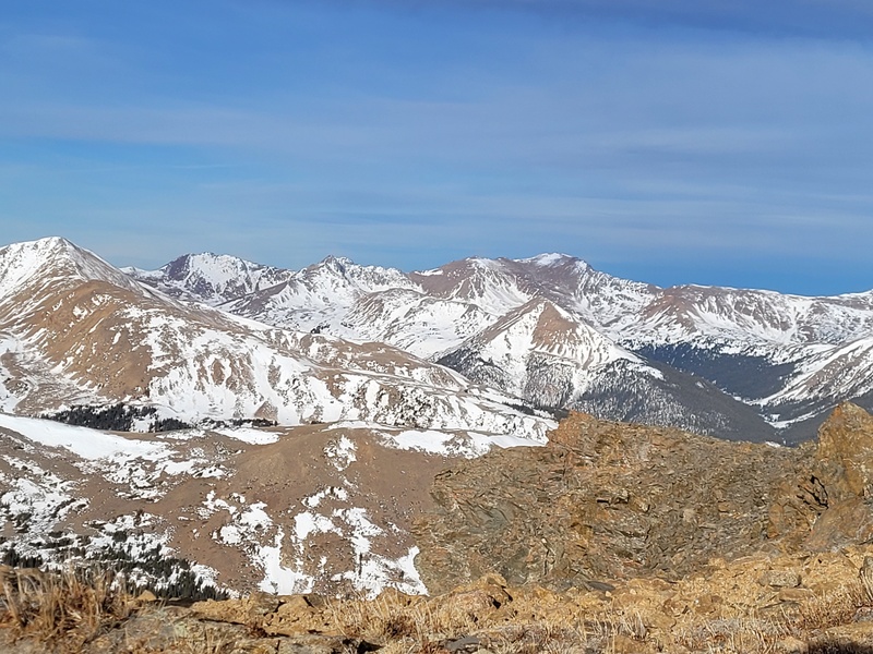
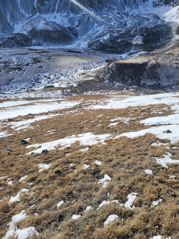
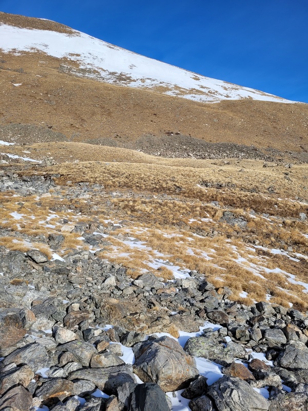
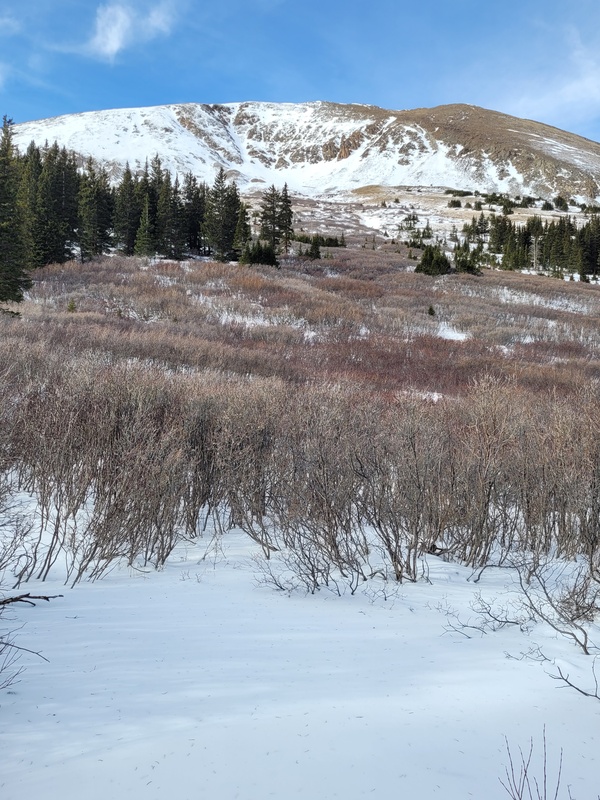
In other words, "Ever'body looks like ants!" - Ollie. After taking in the views while scarfing down a PB&J, Walnuts, and blueberries, I headed down. Instead of taking the ridge down, it was time to finally embrace the standard route. I had spied the standard route on the way up, making sure to mark what false summit, what cairn below on the trail, and what bare section of tundra I needed to aim for. Just like the other 14ers trip reports and route description shows, it's a boring, super steep tundra descent. Be prepared to rely on your poles and take it slow. With my injuries I basically moved at snails pace, zigzagging down to relieve pressure on either leg. Slowly but surely the trail cairn nearest to the end of Gray's northern ridge got closer and closer. I took a slight variation from the 14ers.com route, but this was only to avoid a wider drift of snow in willows to reach the trail. Plus, I had to retrieve one of my poles at a specific cairn. All I can say about the standard route is look for the mini cairns or just aim up or down. Its slow, boring and steep. Eww. 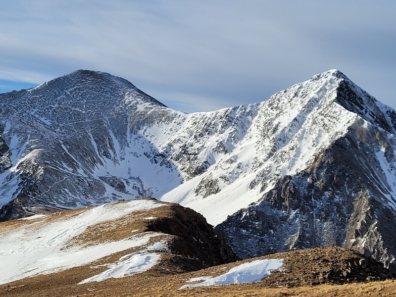
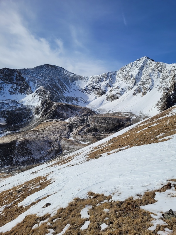
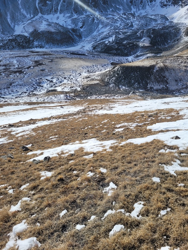
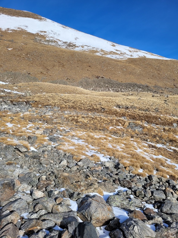
Eventually, I intersected the trail and retrieved my pole. Now, it was time for the super fun part of the day! The slog all the way to I70. The first half down past the Summer Trailhead went along smoothly, with no post holing, beautiful views and a solid bootpack to follow. I only ran into 2 people on the way down, one being fellow injury warrior recovering from a torn ACL on her way up Grays for her first post injury winter 14er. Way to go! It feels nice to know other hikers are on their own recovery journey, and I am not alone in the chronic pain department. However, as I made my way down to Stevens Gulch, I began to feel something; a slight tingle in my Achilles. Speak of the Devil. This tingle then turned into a cold, burning sensation that spread down my entire Achilles. Uh Oh. Did I push myself too hard? My Achilles and ankle had been protesting previously. Why did I do this hike? Will I have to spend another week or two resting another dreaded flareup? My mind began to process the situation, and I was sure my Achilles tendonitis was making a serious comeback. Only thing I could do now was keep moving. As the pain continued to grow, I took it slow, step by step, entering the mental pain cave. By focusing on every bend in the road, I was able to will myself forward. Only thing to do was keep going down. I swear the pain made the last few miles longer, but soon enough familiar checkpoints came and went. Eventually I found myself hearing the beautiful sound of semi trucks roaring past and the delightful smell of diesel fumes. The site of my truck soon appeared shortly after. Hallelujah! I furiously dropped off my pack and threw off my boots at 1PM on the dot. It was then I discovered that it was not my Achilles tendonitis flaring up, and thus I learned a valuable lesson for my recovery. If you want to know, Icy-Hot is absolutely terrible to put on your tendons. As my sweat from my feet/legs intermixed with the Icy hot throughout the morning, the effects of the rub confounded on themselves. This may come as a "Duh!" moment for most but be patient with me. I have never recovered from a ruptured Achilles and then a torn peroneal tendon before; I am learning as I go! This revelation was a major relief. Tendonitis flareups tend to leave me unable to walk for weeks, and I straight up do not have a good time during those periods. As soon as I took off my socks and doused my Achilles with cold water, the pain subsided. 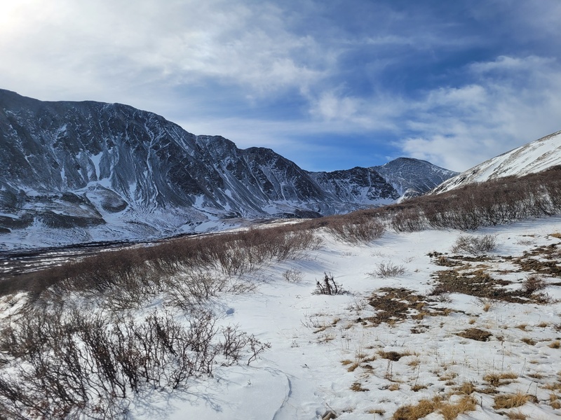
I hit the road down I70 and through Denver without rush hour traffic. This is highly unusual, as I usually sit at the mousetrap or at Longmont nowadays in bumper-to-bumper fun. Any who, by returning back to Fort Collins early I was able to inhale some local carne asada, cold soak the icy hot off, and hit the hay early. As mentioned earlier this was my 13th peak back over 13,000 feet since I started hiking again in mid-September, and my 10th 13er as well. With that number, I capped my extremely short season at 10 13ers, 2 repeat 14ers, and one repeat 12er in just a quarter of a year. I still have 8 14er summits left and will finish them in time. I have my injuries and my side quests on 13ers to thank for that list being enticingly unfinished. Yet am slowly getting my legs back hike by hike, climb by climb. It's a marathon, and not a sprint in the end. One does not simply walk into Mordor straight away. Kelso Mountain via my tracker from Bakersville clocked in at 13.15 miles and 3,450ish feet gain in 9 hours; a nice little hike in the park! I achieved everything I had wanted: a perfect sunrise, a fun little exploratory scramble, a solo summit, and a bonus goat family that blessed me with their presence. There's not much more I could have asked for......Well, I guess I could have asked past me to lay off the Icy hot. :) Thanks a lot Shaq! Thumbnails for uploaded photos (click to open slideshow): 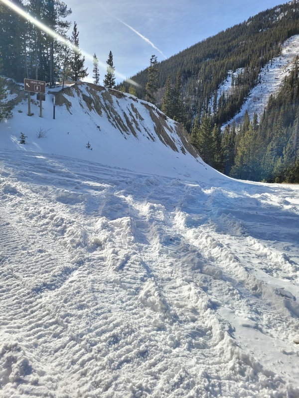



|
| Comments or Questions |
|---|
|
|
Caution: The information contained in this report may not be accurate and should not be the only resource used in preparation for your climb. Failure to have the necessary experience, physical conditioning, supplies or equipment can result in injury or death. 14ers.com and the author(s) of this report provide no warranties, either express or implied, that the information provided is accurate or reliable. By using the information provided, you agree to indemnify and hold harmless 14ers.com and the report author(s) with respect to any claims and demands against them, including any attorney fees and expenses. Please read the 14ers.com Safety and Disclaimer pages for more information.
Copyright: Route information, text, risk factors, maps, GPX files, charts, photos, 14ers.com-created map imagery, flythroughs, and other content provided in this route description are copyrighted by 14ers.com and may not be copied, reproduced, republished, distributed, modified, or used to create derivative works without prior written permission.
Please respect private property: 14ers.com supports the rights of private landowners to determine how and by whom their land will be used. In Colorado, it is your responsibility to determine if land is private and to obtain the appropriate permission before entering the property.


