Log In 
Report Type 
Mini
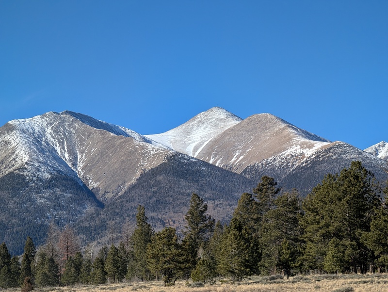
Peak(s)  Mt. Shavano  -  14,230 feet
Date Posted  11/23/2025
Modified  11/25/2025
Date Climbed   11/22/2025
Author  communityhalibut
 Shavano New East Slopes   

Trailhead Conditions: no issues, no snow.

Shout out to CFI for the trail rebuild - no less than a Herculean effort, can't imagine how much toil this took. There are some pros and cons to this though as I'll outline.

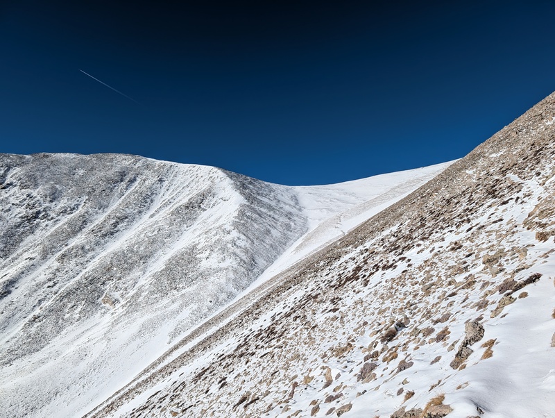
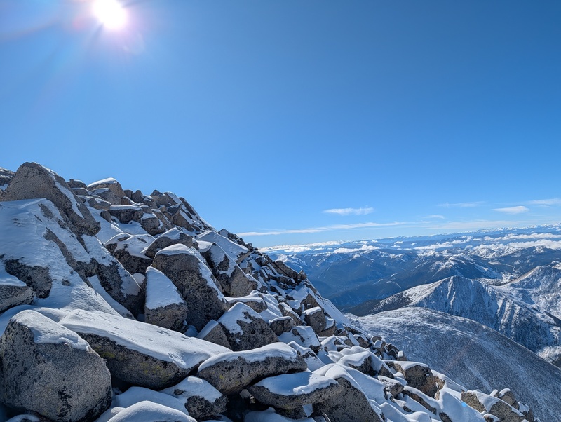
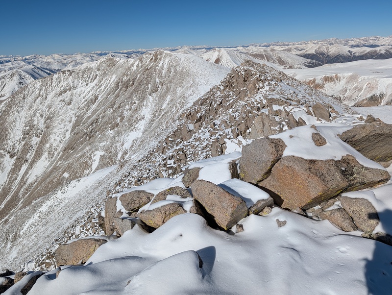
Snow: first half of the forest just a dusting; second half of the forest maybe 2-4 inches. No snowshoes needed at any point. Above the tree line I encountered maybe 3-6 inches with some deeper sections on some slopes. I lost the new trail around 13,500 on the way up, it's a little clearing and with more snow up there it's hard to make it out so I followed the Angel and then cut across the slope to the regular route. The Angel still doesn't have too much coverage, but the scree has the worst amount of snow: enough to cover the voids in between rocks and not enough to cover the rocks (more on this in a moment).

Overall: though I felt the new reroutes were high quality and very intuitive they add a significant amount of mileage to the total trail so be forewarned. I personally really enjoyed it and I thought the switchbacks above the tree line were a huge relief in lieu of what is otherwise a lengthy abuse of your right hip flexor (extended uphill leg traverse). I originally planned on doing the combo but the snow conditions looked too dicey. The ridge to Tab is fine but the descent involves either the very icy talus or post holing unknown snow depth in between the rocks - this is a great moment to take a breath and reflect on what a leg/ankle injury here might look like and make the right choices. The return is a real slog and I highly recommend trekking poles for this peak. I had microspikes but didn't use them; blue bird day, only soul on the mountain all day, clocked 14.4m RT with 4479 vertical; a little over 7hr.


Thumbnails for uploaded photos (click to open slideshow):
1 2 3 4


Comments or Questions
   Not registered?


Caution: The information contained in this report may not be accurate and should not be the only resource used in preparation for your climb. Failure to have the necessary experience, physical conditioning, supplies or equipment can result in injury or death. 14ers.com and the author(s) of this report provide no warranties, either express or implied, that the information provided is accurate or reliable. By using the information provided, you agree to indemnify and hold harmless 14ers.com and the report author(s) with respect to any claims and demands against them, including any attorney fees and expenses. Please read the 14ers.com Safety and Disclaimer pages for more information.

Copyright: Route information, text, risk factors, maps, GPX files, charts, photos, 14ers.com-created map imagery, flythroughs, and other content provided in this route description are copyrighted by 14ers.com and may not be copied, reproduced, republished, distributed, modified, or used to create derivative works without prior written permission.
Please respect private property: 14ers.com supports the rights of private landowners to determine how and by whom their land will be used. In Colorado, it is your responsibility to determine if land is private and to obtain the appropriate permission before entering the property.