
| Report Type | Full |
| Peak(s) |
Middle Mountain - 13,108 feet UN 13471 Brown Mountain - 13,347 feet |
| Date Posted | 11/25/2025 |
| Date Climbed | 10/03/2025 |
| Author | petal53run |
| fall trio |
|---|
|
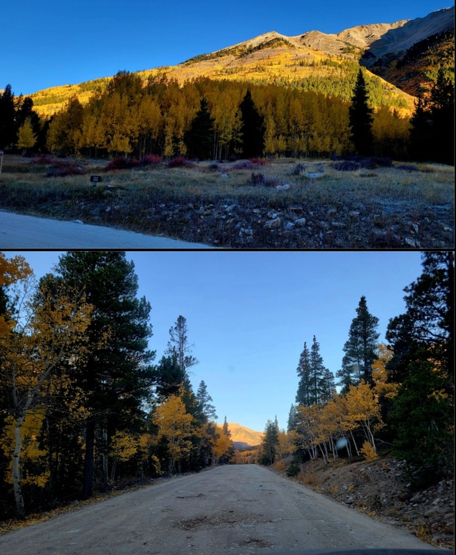
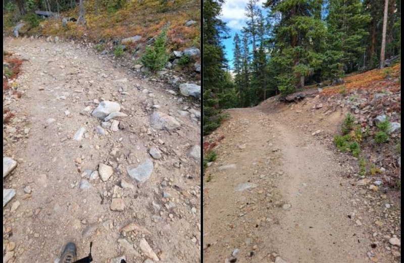
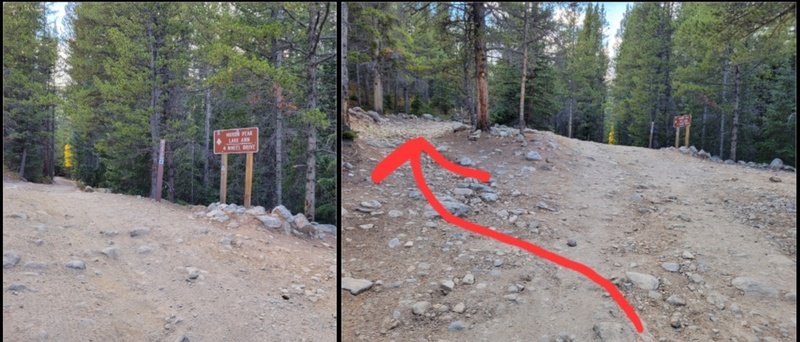
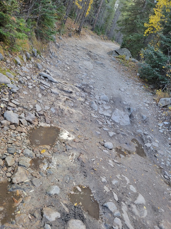
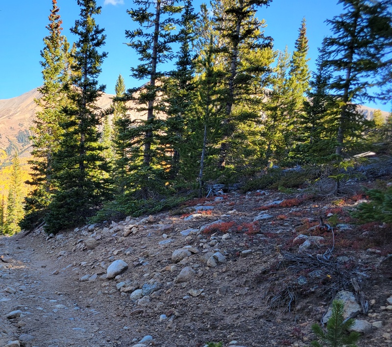
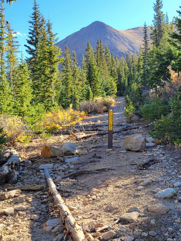
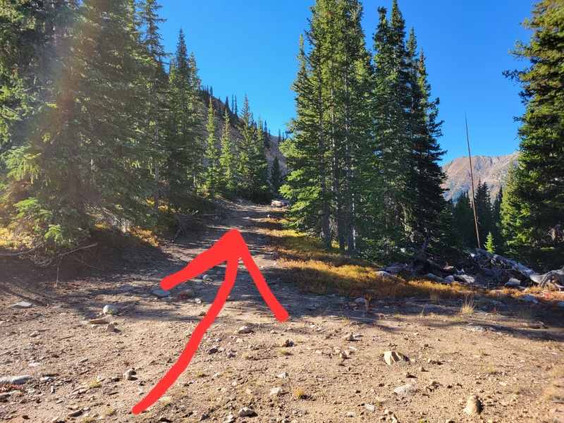
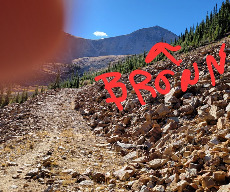
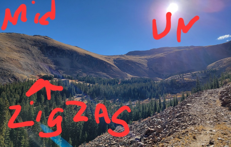
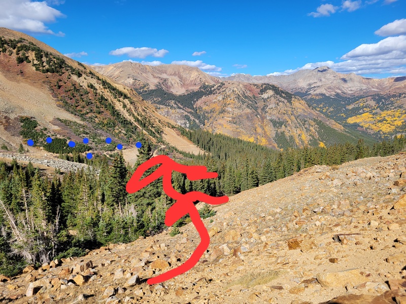
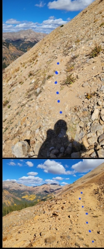
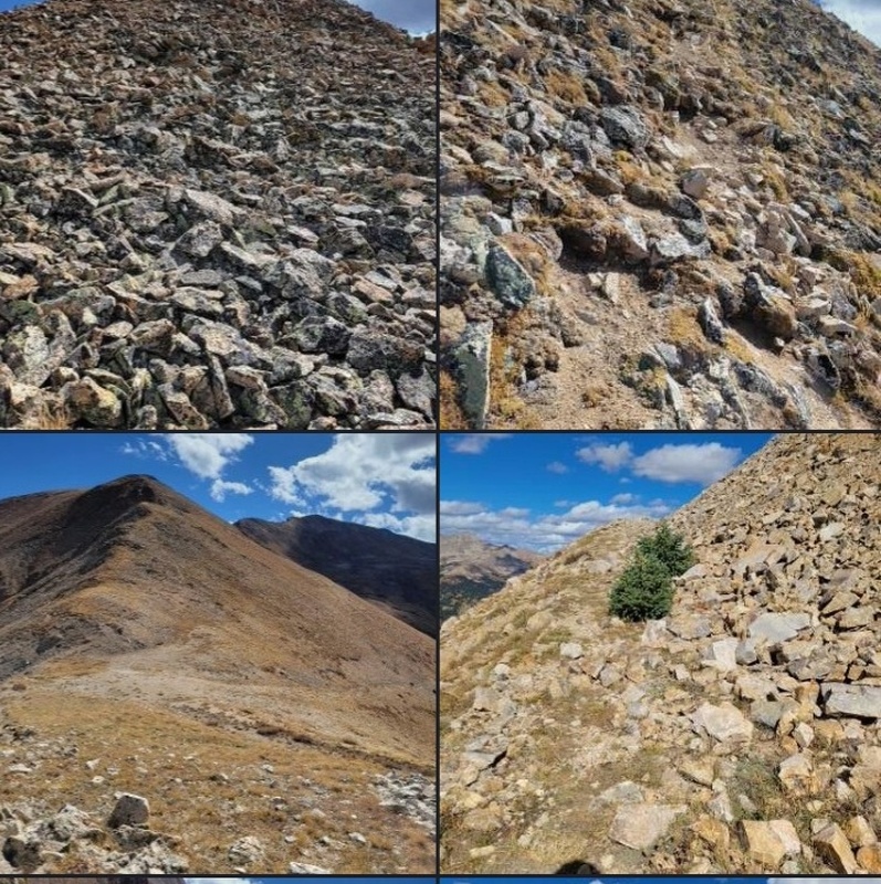
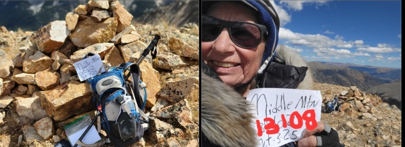
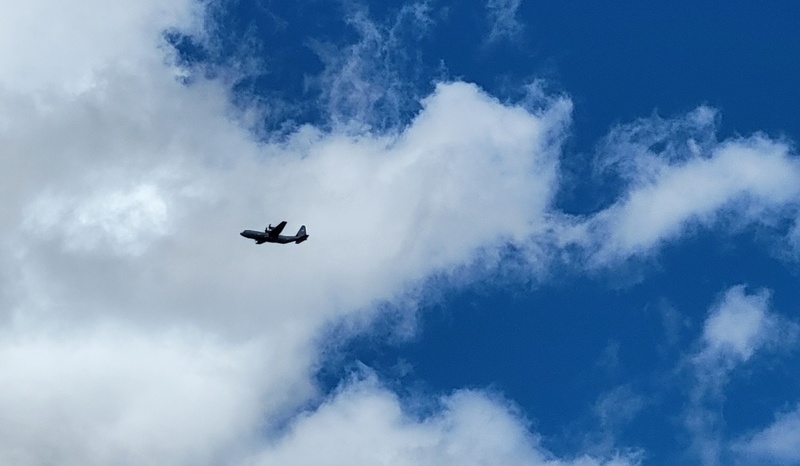
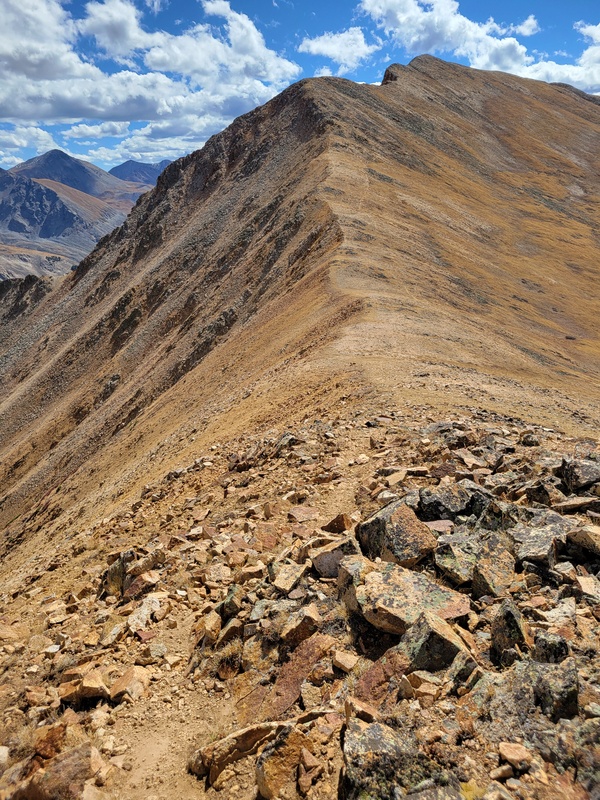
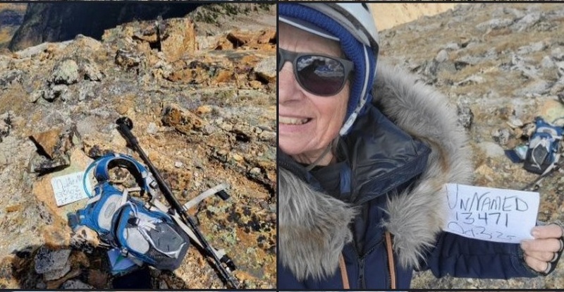
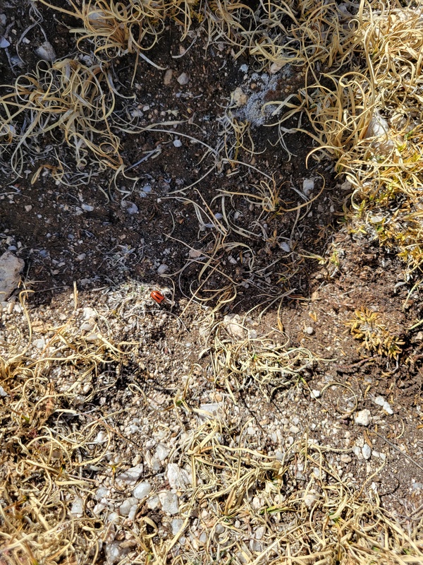
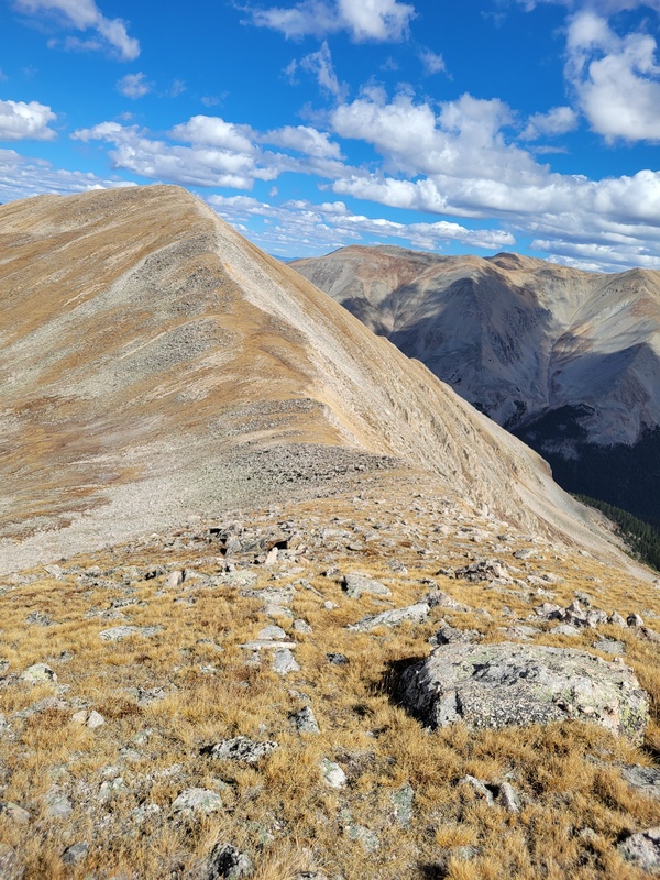
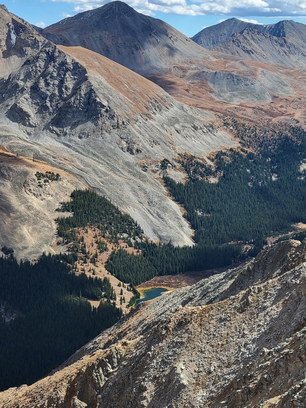
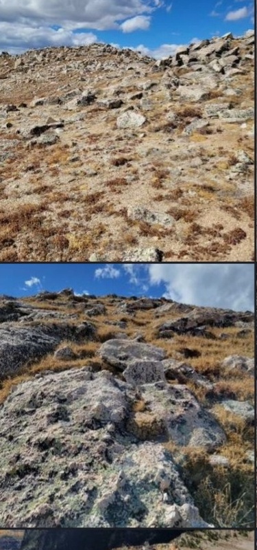
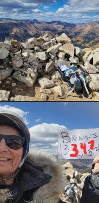
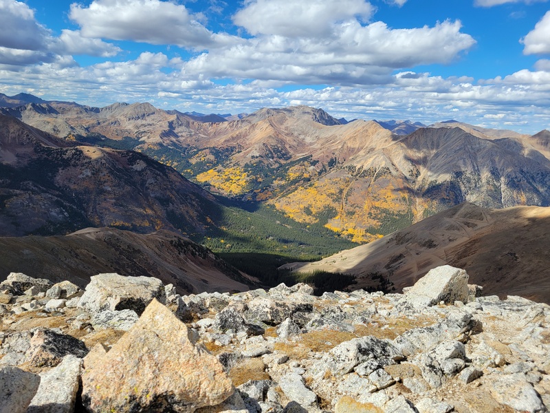
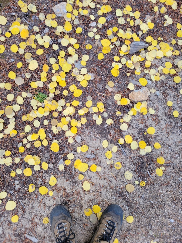
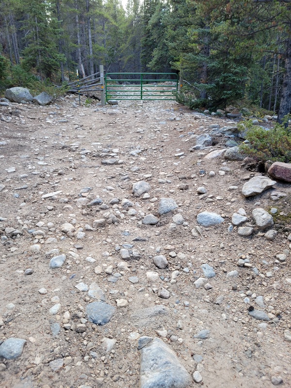
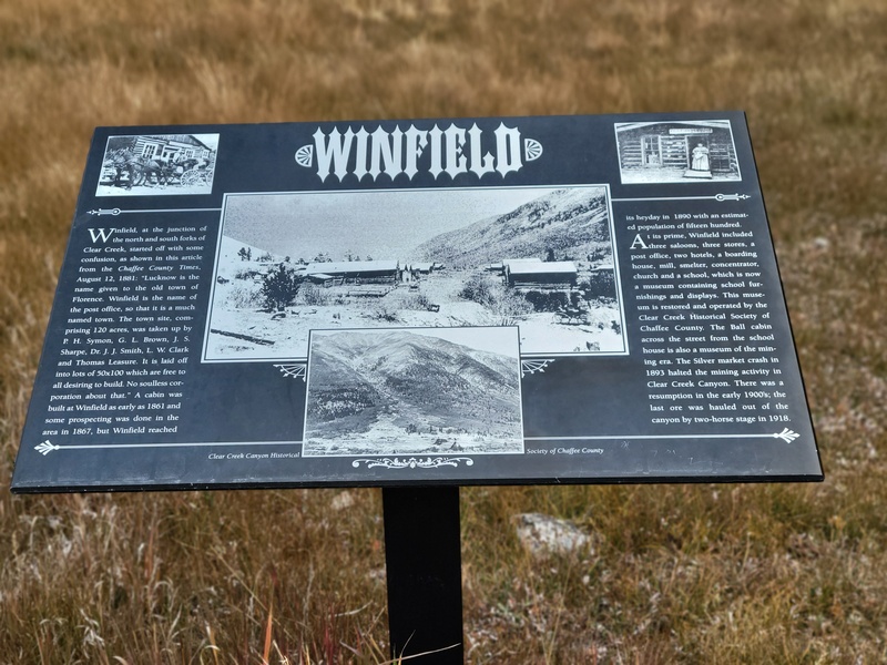
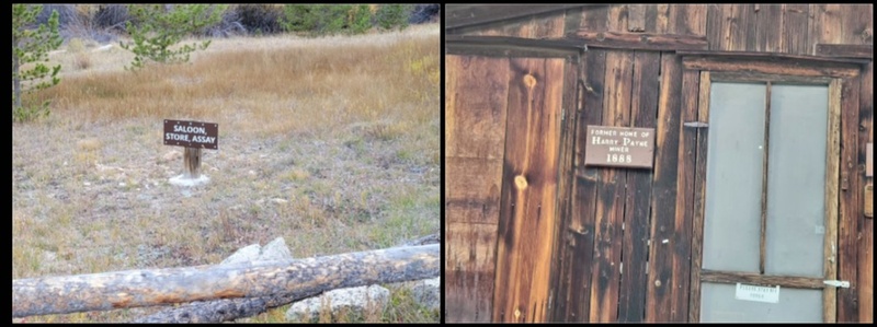
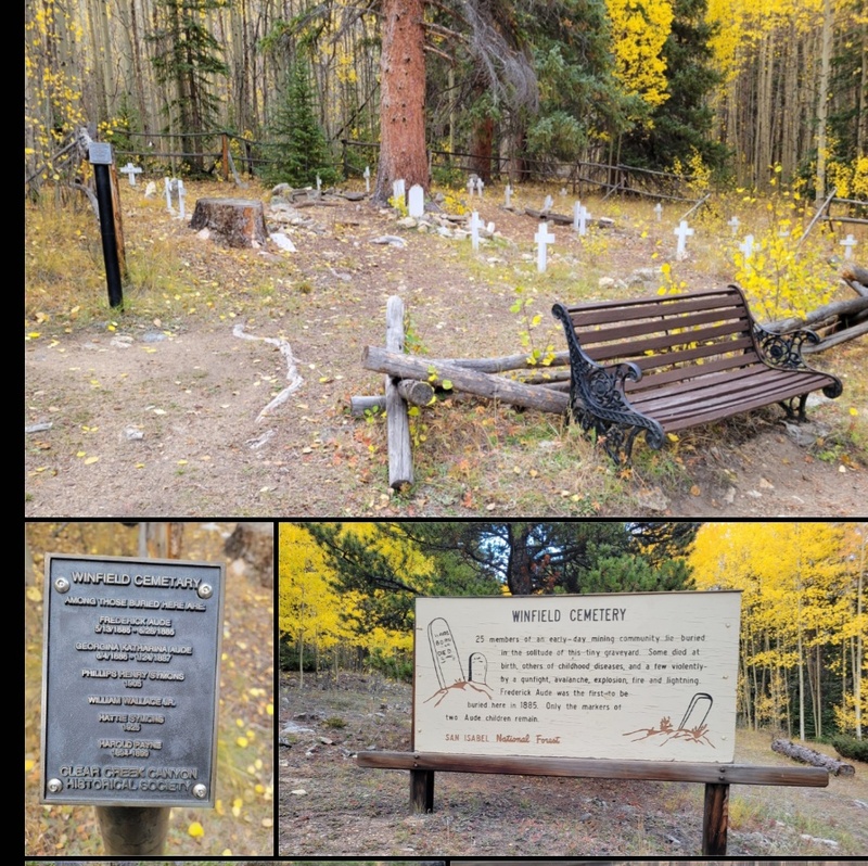
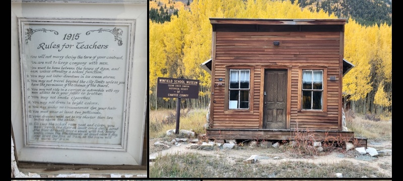
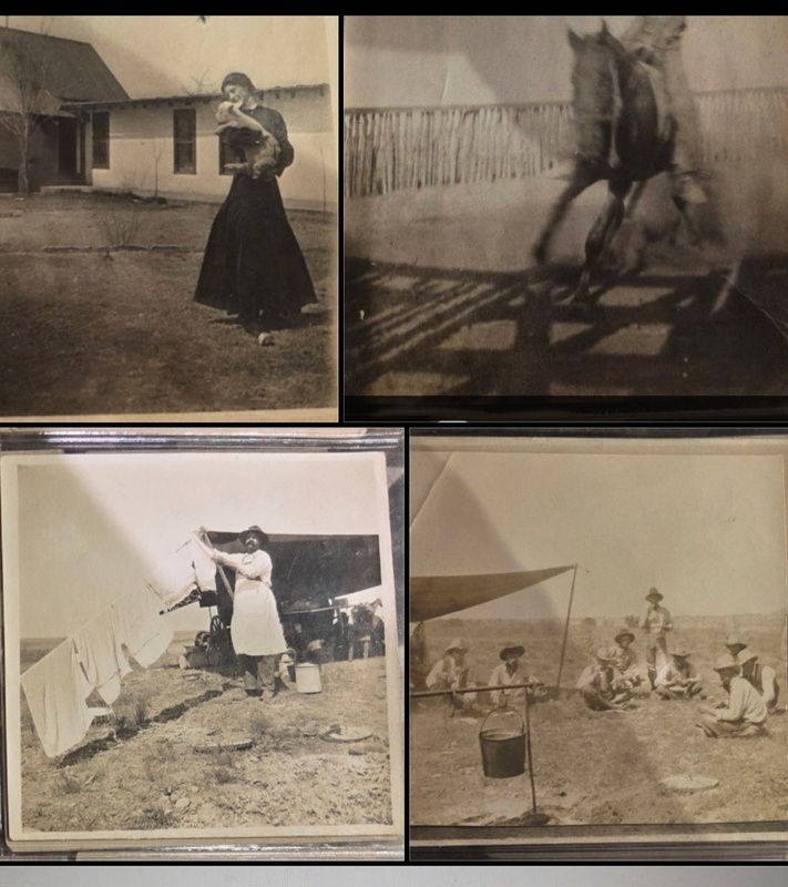
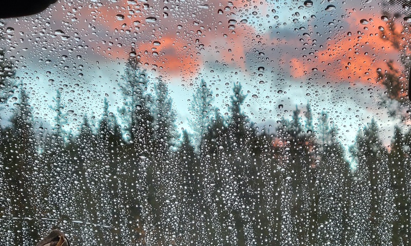
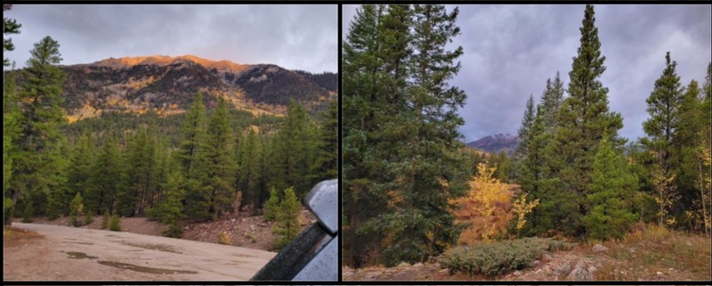
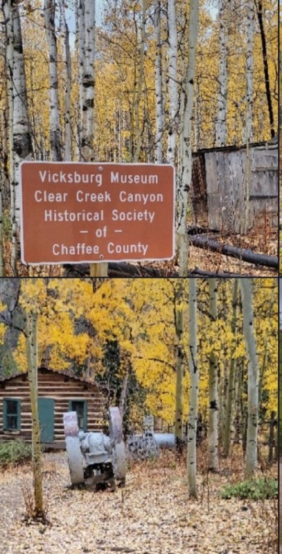
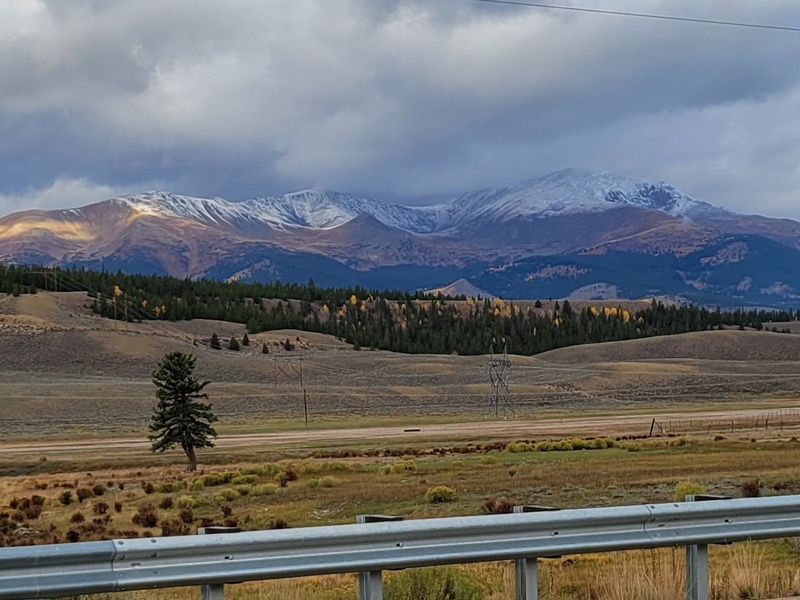
LuLu Gulch Held the Fall Trio Middle Mountain13108, Unnamed13462 & Browns Mountain13347-Oct3.2025 Getting back to Missouri Gulch was a goal of mine because of the variety of climbing choices so I after the location of the fall gathering was announced I activated past plans. Meanwhile the stitching broke around my jacket pocket and, of course, my phone slipped out and landed on a rock while descending Drift Peak(13915). Usually a phone falls screen side down and shatters so when this one landed backside on the rock, I thought, lucky me; it didn’t break. That luck lasted a week and it stopped working. When the protective cover came off, the phone fell apart. The weeks drug by while waiting for the new one to be cleared to climb. The orders from the family were: no phone, no safety net, no climbing. That also meant that I could not write trip reports because I had no access to my pictures. Meanwhile, I biked a bucket list of new trails, worked, sewed quilt top with mountain peaks and planned climbs. The day before the 14ers Fall Gathering, the new phone arrived (TU for a warranty) and I was programed to go. On that beautiful fall October 3 day, I drove W on I70 to Leadville. 20miles from Leadville it was 12 miles W on Chaffee CR390, through Winfield to a parking spot at the base of the 4WD road going up to Huron. I found this road very drivable with the truck for the 14ers so I switched to the VW this trip. The drive was bumpy doable and stunning as the trees spilled gold onto both sides of the road(pic1-2). Summit plans were: Middle Mountain(13108), Unnamed(13471) and Browns Mountain(13347). The hike began on CR390 as it continued as a 4WD dirt road(pic3) and got progressively rockier as I reached the junction of Lulu Gulch, marked by a green gate(pic4). There I turned left. The road was wide, loose, rocky with almost boulders and steep(pic5) all the way to another junction where there was a clearing(pic6). My Garmin said 11600 at the USFS plastic post(pic7). Here I turned left(pic8) and hiked a smoother and flat 4WD road into treeline(pic9). I questioned why I brought my Garmin because once I was out of the trees, the whole route was a panorama in front of me(pic10). The smoother 4WD road curved up and around Lulu Gulch (the trees) and zigzagged up to Middle Mountain(MM). Per Bills directions, he said to follow the road. I took a bearing to shortcut through the willows and across Lulu Gulch. Others had done the same because I found a path leading to the first E hairpin (blue dots) of the road(pic11). And up&back&forth I went on the 2 laned road which 2/3 of the way narrowed to a single dirt path(pic12) to an eroded line to the saddle(pic13). It was a short tundra walk on rocks with a faint flattened path that lead to a false summit(pic13) and then the real deal. It was a slow steady climb and here are my summit pics(14) atop MM(13108). While I was refueling and enjoying the fall views, a plane flew by(pic15). Pic16 is looking at the route up to Unnamed. It began as a slight downhill and an easy 30minute huff up the rocky tundra to the top. Heres my summit pics of Unnamed(13471)(pic17). Two climbed and one more to top. The ridge dipped down a bit into tundra where I found a ladybug sunning itself(pic18). Pic19 of the slope to Browns. I don’t know the name of the lake at Hurons north side but it was pretty reflection of the sky(pic20). With some more huff and puff, some scrambling(pic21) and I summited Browns(pic22). Pic23 is looking at all the gold below. Going down was another route. Rather than hiking in reverse I checked my pics for the terrain and beelined it back to Lulu Gulch between Browns and Unnamed. The tundra was negotiable to walk down but it dissolved into pebbly dirt on which I glissandoed down. Somehow I connected to the path from the first zigzag, back through the willows, crossed the rocky gulch and got back on the road. Pic 24 is of fall, went around the green gate(pic25) and returned to the car. I drove back to Winfield to check out the historical signs(pic26). Winfield is now an abandoned silver mining town at the junction of the N&S forks of Clear Creek in Chaffee County. Around 1890, 1500 people lived and worked there. Unlike other mining towns, Winfield offered free lots to anyone who wanted to build a home(pic27) in which a few residents live. Today Clear Creek Historical Society manages the museum attractions scattered along CR390 up to the cemetery(pic28). I found the rules on the one room school house the most interesting(pic29). After the Civil war ended(1861-1865), civil rights for all were motivated by independence, purpose and an income. Young women escaped west for jobs right behind the men only to find law abiding jobs barely tolerable but teaching ranked as an honorable profession because teachers were entrusted with the shaping of young minds. Soon one room schools were dominated by the female presence. Faced with unbelievably restrictive rules and monitored by the Chairman of the Board, female teachers were controlled both in their professional and private lives. Those who gutted it out to the 1900s got better working conditions & salaries, training and humane treatment. Spurred by the right to vote in 1920, female teachers eked out more personal freedom including the right to be a wife in the 1940s. I relate to this scenario as my husbands great grandmother, Louise traveled from Virginia to New Mexico to join a team of teachers on Bell Ranch(1824-1947), one of the largest ranches in the US at 656000acres. Pablo Montoya strived to give the children of ranch hands a well rounded education. Louise was the music teacher and according to her letters, her students performed as singers, dancers and played piano recitals. She was quite the observer as she documented the chores around the ranch(pic30). Today the remaining acreage is known as John Malones Silver Spur Ranch. The other burning question is how unnamed peaks become a named peak. Approval from state and federal levels are needed via a process of proposals, proof, historical significance and reason. What information I could find as to how the other peaks were named: MM was a descriptive name for its central location in the Sawatch Range, most likely from the Native Americans. Browns Mountain was named after a 19th century French-Canadian trapper who was active in the area. After that bit of history education, I snapped more fall pics, visited the campfire of friends and crawled into my sleeping bag. Hearing the rain was soothing all night and the next morning I woke to this sunrise(pic31): dark gray skies and more rain(pic32). There will be other sunny days so onward home. I stopped at the Vicksburg museum on the way down(pic33) and from CO24, the snow covered Elbert and the Mt Massive mountains(pic34). In sum, I recommend this Class 2 loop. Route finding was straight forward, the walk was a thinking pace on basically level terrain with the rockiness part up to MM. From that point onward, the terrain was primarily tundra with avoidable rocks to the 4WD road which was bumpy negotiable. The beautiful sunny fall day made the views more spectacular and surprisingly, after I turned left at the green gate, I hiked the entire loop alone. I’m guessing this was 9+ miles RT. The hardest part was the 8hours, which passed easily, most of it slowly and steadily zigzagging up to MM. After reaching MM, the hike was consistent to the end. One must be mindful of time even when enjoying the day and spectacular views but with shortened daylight, an earlier start or hiking this loop when daylight is longer would be advisable. As a teacher myself in a multiple room building the history walk showed me that the one room school house may symbolize our past but the spirit is alive: choosing an environment to learn, experience and explore. This is why climbing adventures are mind lifting. Thumbnails for uploaded photos (click to open slideshow): 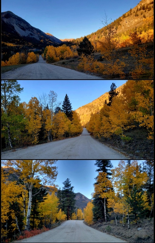
|
| Comments or Questions |
|---|
|
|
Caution: The information contained in this report may not be accurate and should not be the only resource used in preparation for your climb. Failure to have the necessary experience, physical conditioning, supplies or equipment can result in injury or death. 14ers.com and the author(s) of this report provide no warranties, either express or implied, that the information provided is accurate or reliable. By using the information provided, you agree to indemnify and hold harmless 14ers.com and the report author(s) with respect to any claims and demands against them, including any attorney fees and expenses. Please read the 14ers.com Safety and Disclaimer pages for more information.
Copyright: Route information, text, risk factors, maps, GPX files, charts, photos, 14ers.com-created map imagery, flythroughs, and other content provided in this route description are copyrighted by 14ers.com and may not be copied, reproduced, republished, distributed, modified, or used to create derivative works without prior written permission.
Please respect private property: 14ers.com supports the rights of private landowners to determine how and by whom their land will be used. In Colorado, it is your responsibility to determine if land is private and to obtain the appropriate permission before entering the property.


