
| Report Type | Full |
| Peak(s) |
Pacific Peak - 13,965 feet Atlantic Peak - 13,856 feet |
| Date Posted | 11/20/2025 |
| Date Climbed | 11/19/2025 |
| Author | 123tqb |
| Jalapeno Spicy, not Serrano |
|---|
|
Jalapeno Spicy, not Serrano
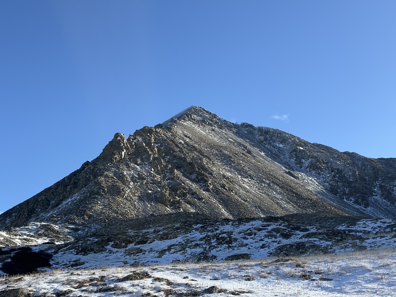
I'm once again unemployed. As goes seasonal work. I had thought that living in California I would still be able to climb some high peaks, but getting distracted by Yosemite and its allure for rock climbing (as well as living on the wrong side of the Sierra), I barely made it above 11k for the whole summer. Being back in Colorado with easy access to high elevation should also have been an excuse for some mountaineering, but life gets in the way sometimes. Regardless, some friends of mine made plans to travel to Chile in December to climb Ojos del Salado, which warrants some acclimation training. Since my usual partners were busy ice climbing or skiing, I decided to take matters into my own hands for the time being. As a savant for f***ed-up winter conditions, I originally had the thought of traversing from Pacific all the way to Drift Pk to link some real technical ridgeline climbing, but read some trip reports saying that Atlantic to Fletcher required some 5.6 climbing. Not within my free solo wheelhouse if I had any intentions of living past 30. I settled for the West Ridge of Pacific, deciding Class 3 was probably more than enough to fulfill my desire for spiciness with the recent snow. I drove up to Mayflower Gulch at 08:00 to get started (I love the lack of t-storms this time of year!). 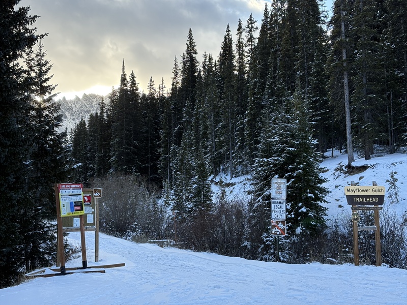
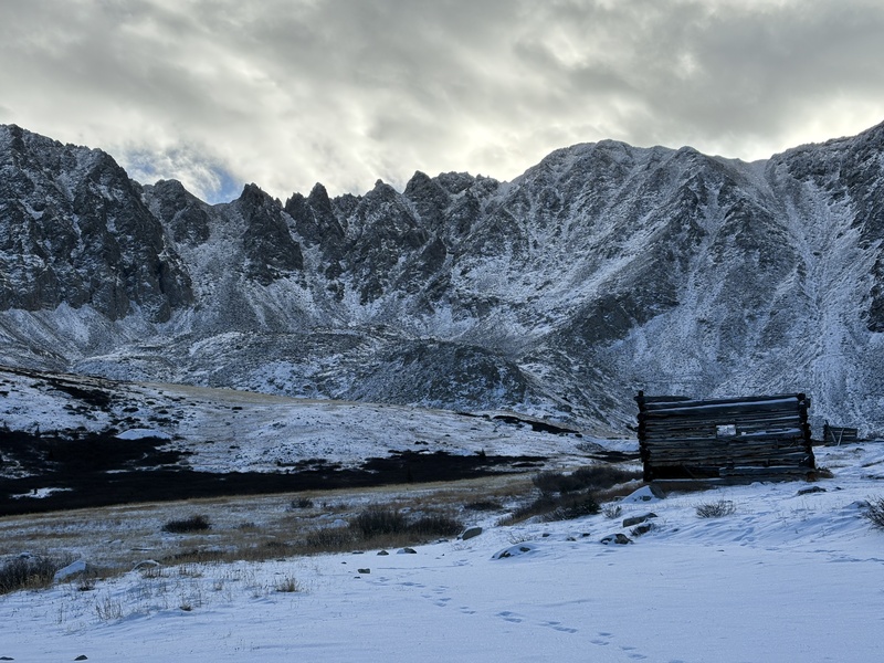
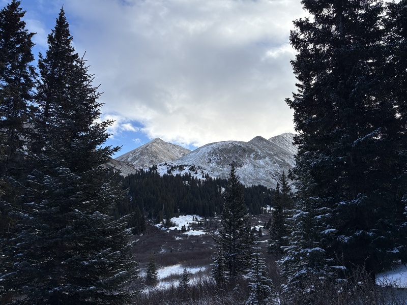
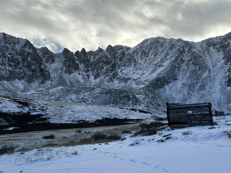
I didn't don microspikes for the road approach, figuring mountaineering boots were probably sufficient with the thin snow coverage. I was right, but was certainly wasting energy slipping around with every step. After making it to the mining ruins I put them on and followed recent tracks to the north. 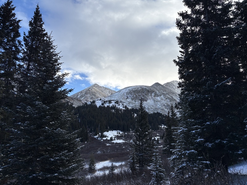
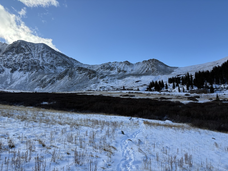
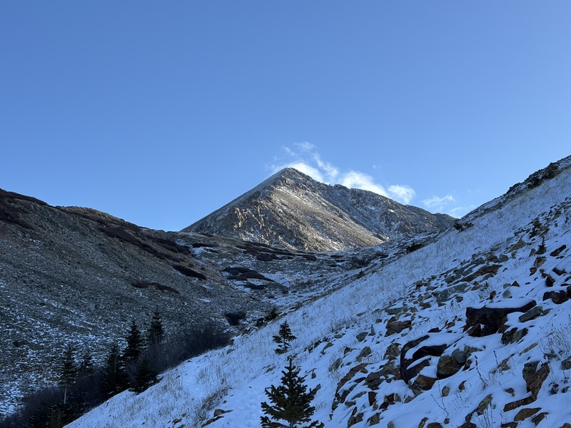
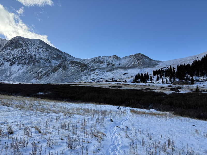
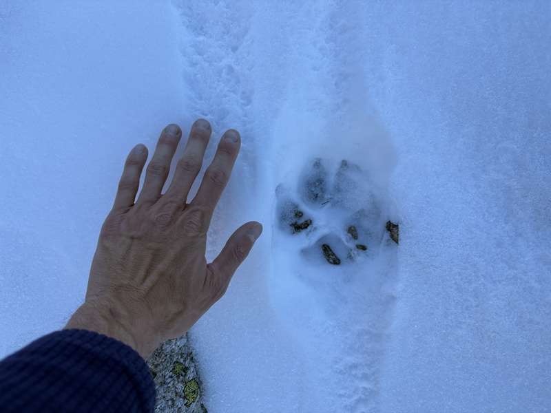
It took me about an hour to reach the bottom of the West Ridge of Pacific from the trailhead. On the way I caught up with the party of two ahead of me, who were attempting the West Ridge of Atlantic. The snow was thin, but spikes were definitely helpful to not slip into Pacific Creek at this point. I followed what I think were wolf tracks up into the basin, judging by their size and the lack of bootprints anywhere nearby. 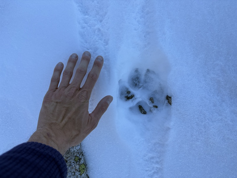
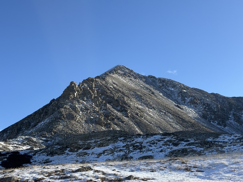
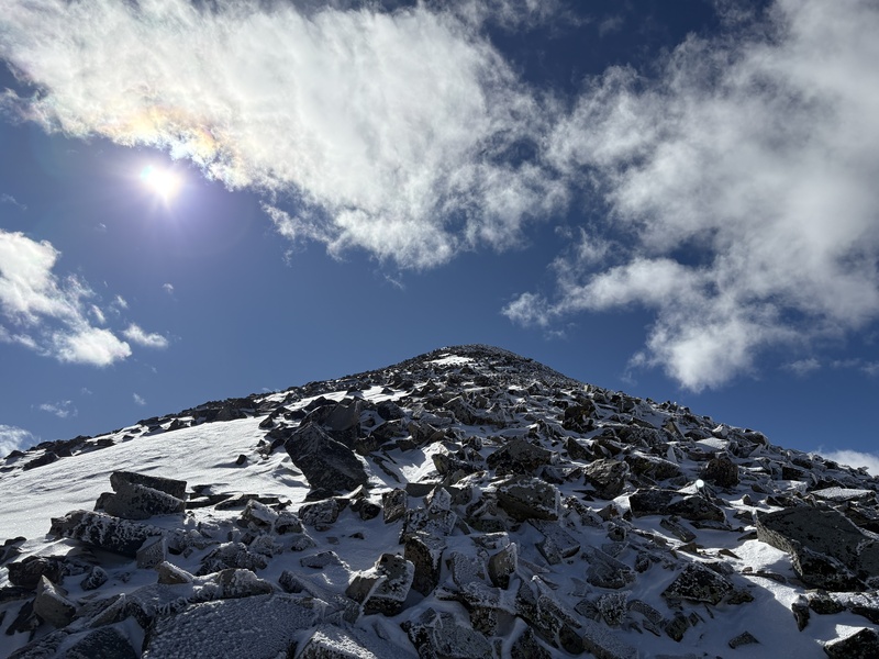
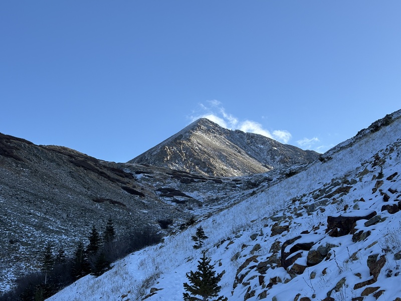
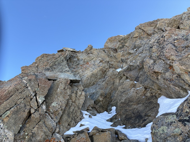
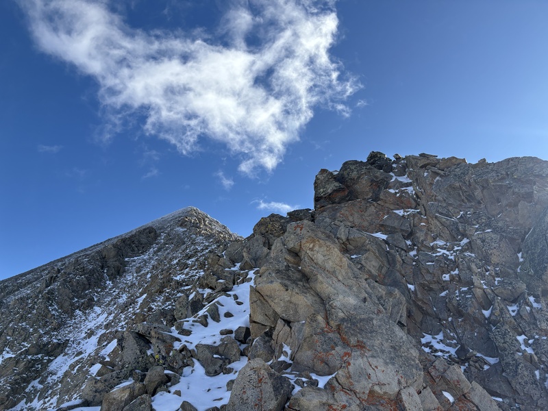
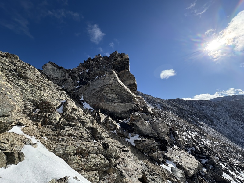
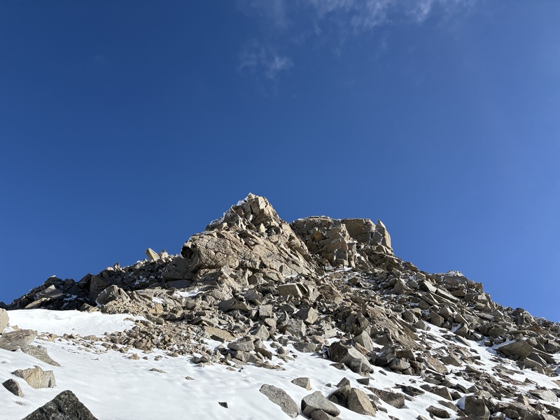
I aimed for the talus field that went up just south of the first major gendarme. The top of this gully had some Class 3 I had to maneuver through, but nothing too serious. On top of the ridgeline there was a bit more Class 3 to negotiate. The snow made for some precise footwork, but wasn't too hard to figure out. 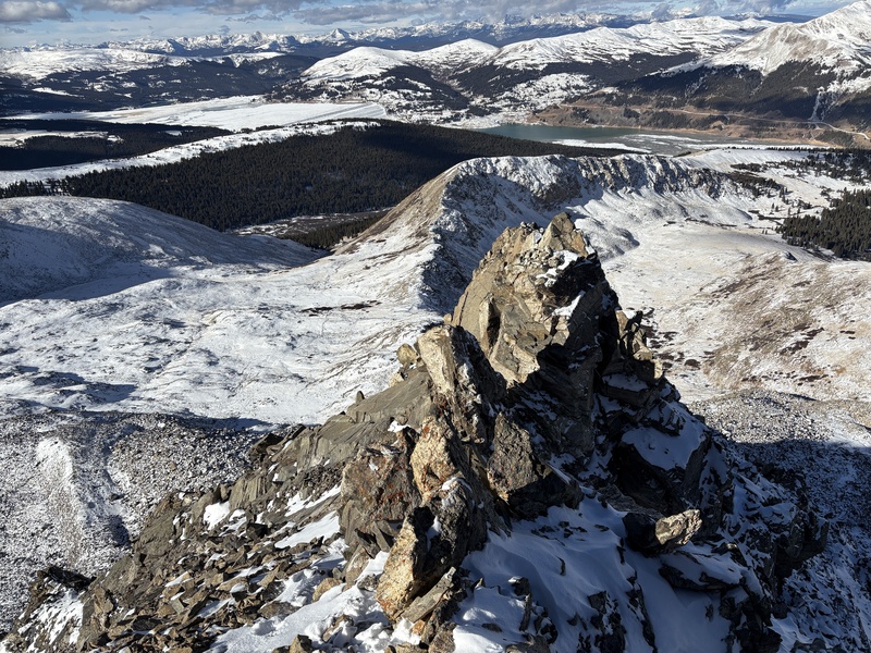
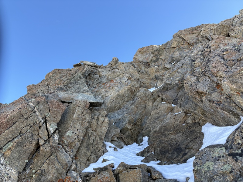
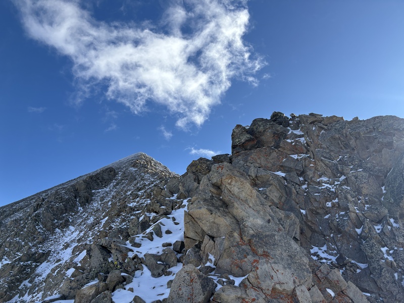
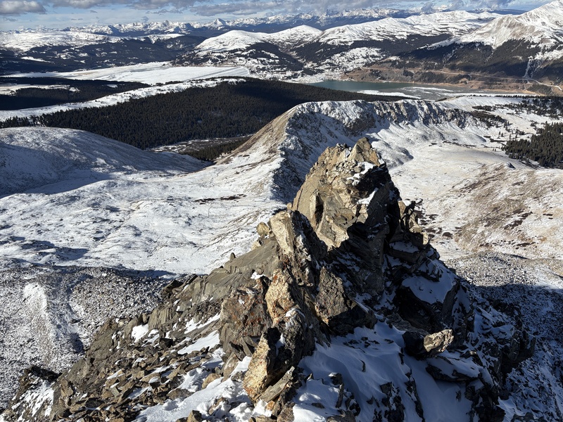
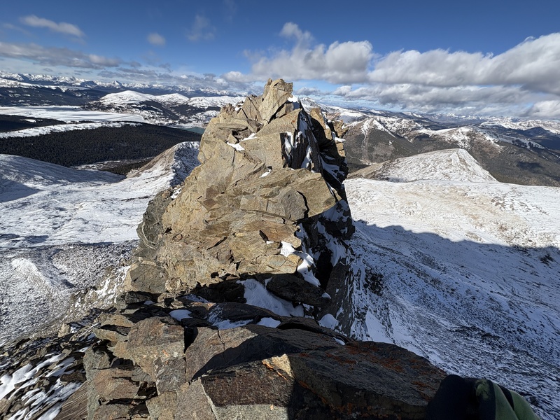
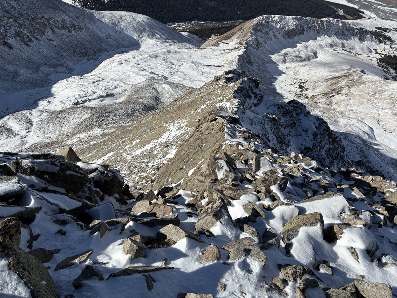
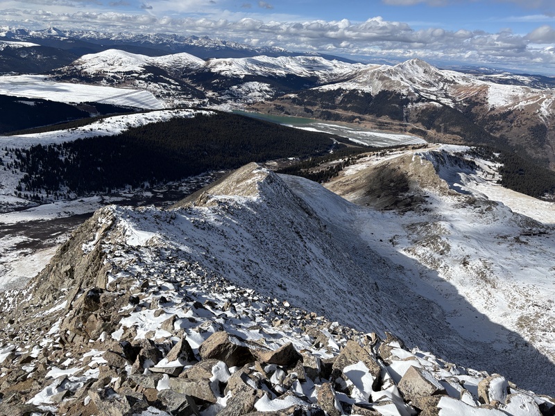
Along the way, I went across a little knife edge and some more exposed Class 3. I managed to bypass some of the bigger towers on the south side (climber's right). 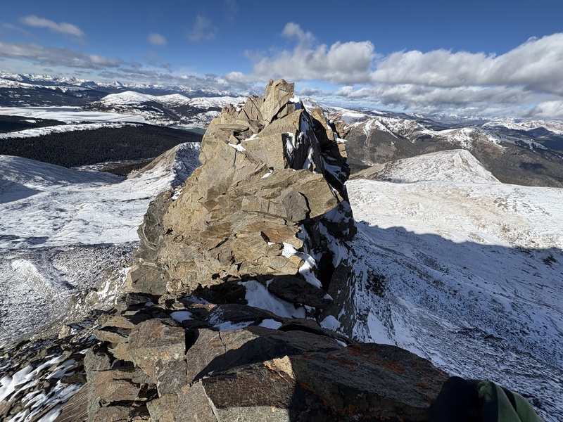
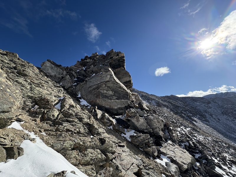
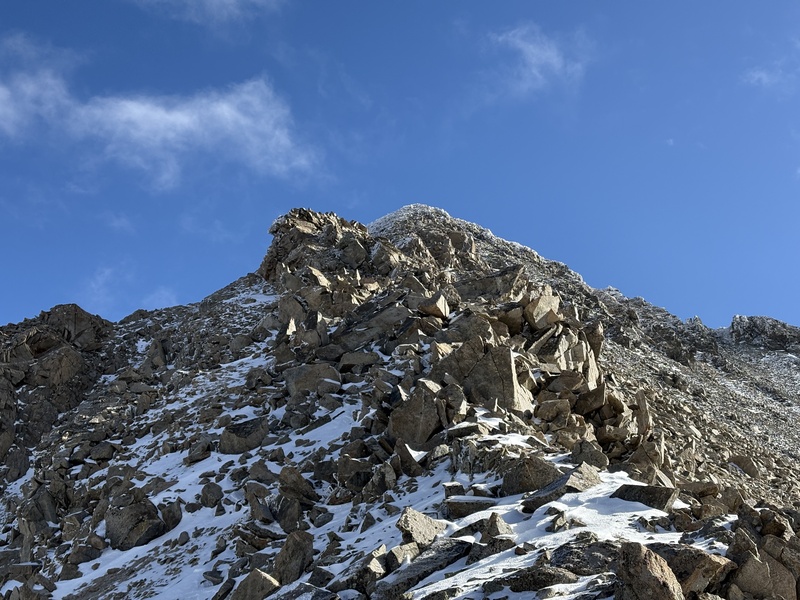
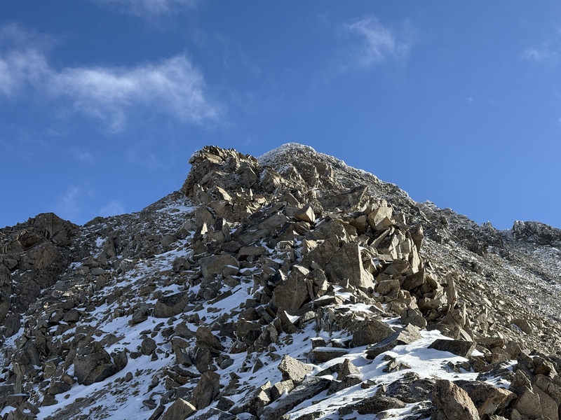
I hadn't read the route description too carefully, but from my experience it was fairly easy routefinding and I never made the difficulty above Class 3. The bottom half of the route was fairly sustained, but the remaining ridge seemed a bit more broken up. A few sections were scree covered with a thin layer of snow, but there were either great handholds or solid wind-loaded snow to bypass the sketchier sections. 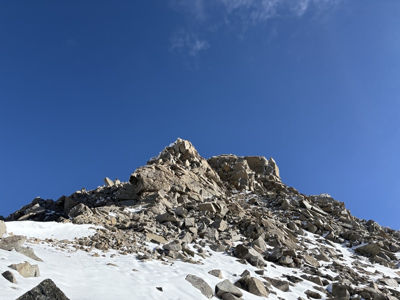
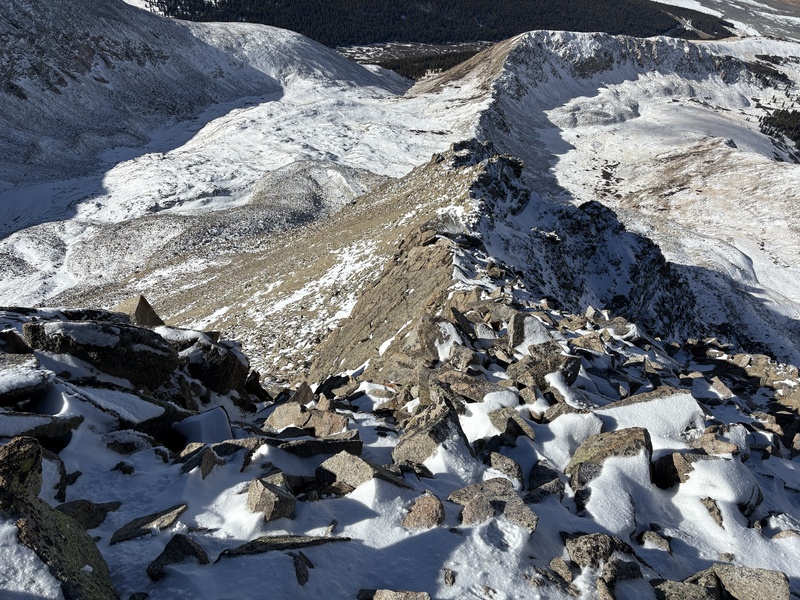
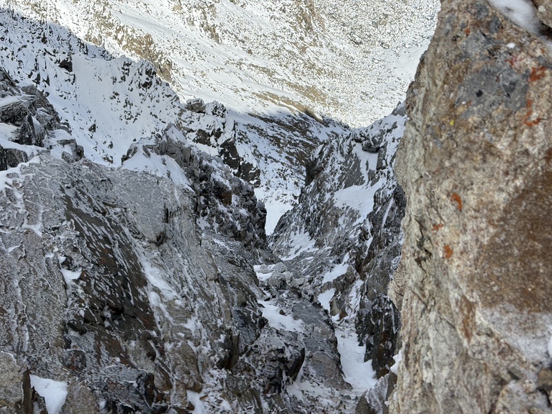
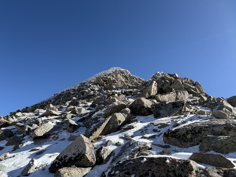
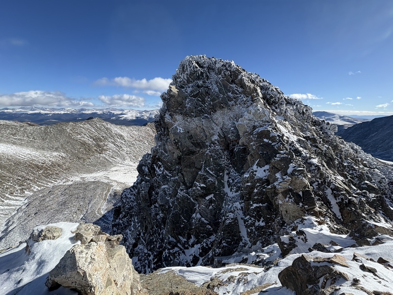
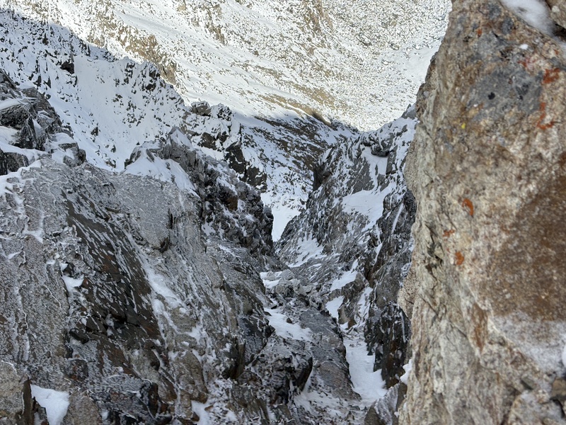
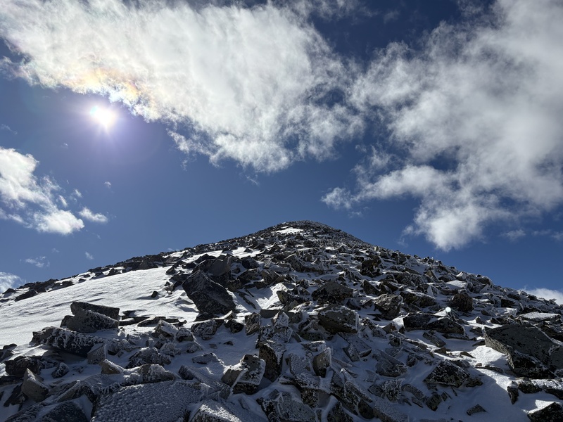
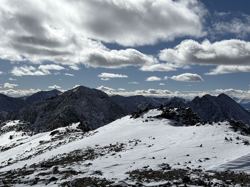
High up there was a good bit of rime ice on the rock, but the difficulty was Class 2. At the false summit I could see pretty well down into the North Couloir, which appeared very scratchy. There were a couple of hard Class 2 or possibly Class 3 moves, but circling around to the south aspect I encountered less ice and an easier angle to walk up. I summitted at 10:45. 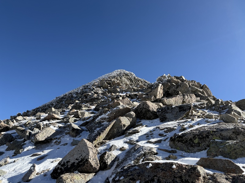
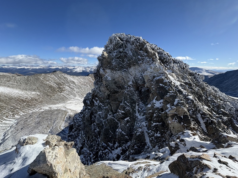
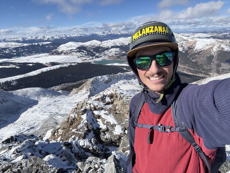
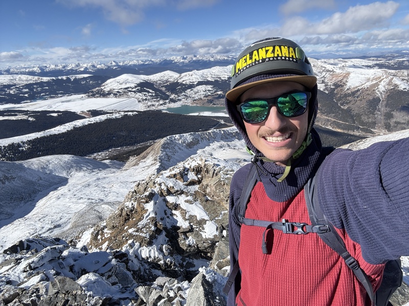
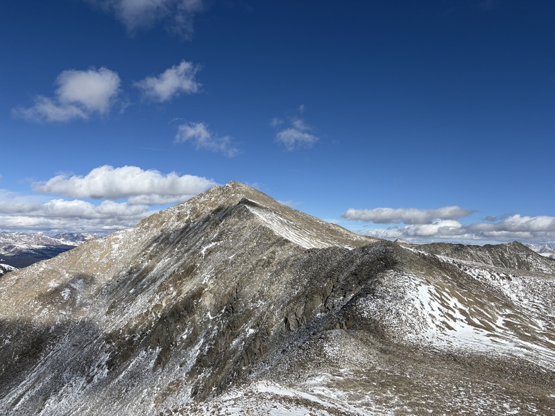
I stayed on the summit for a long amount of time, enjoying the prime fall conditions. I ate a snack and did some breathing exercises (a lot harder at nearly 14k!) to help prepare for my upcoming high-altitude trip to another continent. The connecting ridge to Atlantic definitely had some snow, but appeared fine with microspikes. It was quite hot wearing a wind shell, now in the sun. I stripped back down to my midlayer to head back up from the saddle. I reached the summit of Atlantic at 11:45, but was probably only moving for half of the time between summits. 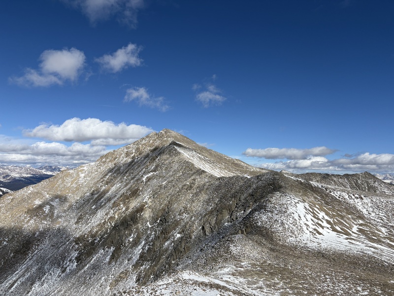
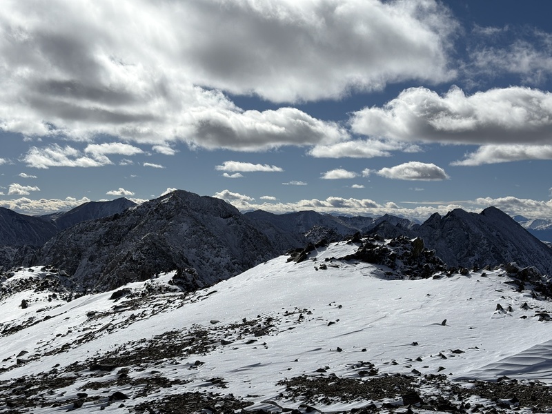
I met up with the party from earlier on the summit of Atlantic, and descended their route down the West Ridge. I think towards the bottom I managed to lose their footprints and followed some animal tracks down a talus field, which wasn't exactly advisable since I was skidding down rock under the thin snow cover. I made it back to the basin I originally started the day in to meet the social trail and headed out. By now the snow had heated up considerably. It was coming out in chunks onto the bottom of my spikes (which I had left on from the summit of Atlantic), so I had to knock my feet together quite a bit on the trail back to the mining ruins. I took off my spikes here, and managed to only have both my feet slide out from under me one time on the road back. Probably should have left those on. I got back to the car just in time to drive home for lunch, two more centennials under my belt. 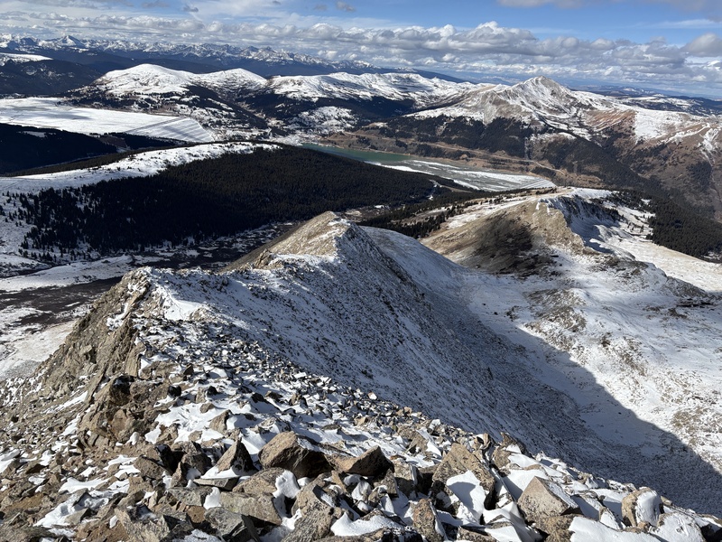
Thumbnails for uploaded photos (click to open slideshow): 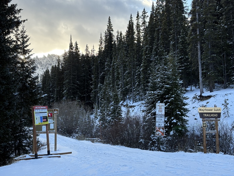
|
| Comments or Questions |
|---|
|
|
Caution: The information contained in this report may not be accurate and should not be the only resource used in preparation for your climb. Failure to have the necessary experience, physical conditioning, supplies or equipment can result in injury or death. 14ers.com and the author(s) of this report provide no warranties, either express or implied, that the information provided is accurate or reliable. By using the information provided, you agree to indemnify and hold harmless 14ers.com and the report author(s) with respect to any claims and demands against them, including any attorney fees and expenses. Please read the 14ers.com Safety and Disclaimer pages for more information.
Copyright: Route information, text, risk factors, maps, GPX files, charts, photos, 14ers.com-created map imagery, flythroughs, and other content provided in this route description are copyrighted by 14ers.com and may not be copied, reproduced, republished, distributed, modified, or used to create derivative works without prior written permission.
Please respect private property: 14ers.com supports the rights of private landowners to determine how and by whom their land will be used. In Colorado, it is your responsibility to determine if land is private and to obtain the appropriate permission before entering the property.


