
| Report Type | Full |
| Peak(s) |
Mt. of the Holy Cross - 14,007 feet Holy Cross Ridge - 13,850 feet Notch Mountain - 13,243 feet Unnamed 13253 - 13,253 feet Pt. 13,373 - 13,373 feet |
| Date Posted | 11/09/2025 |
| Date Climbed | 07/03/2025 |
| Author | BigNick21 |
| Mt. of the Holy Cross: Orbital |
|---|
|
Mt. of the Holy Cross: Notch Mountain -> Halo Ridge -> North Ridge
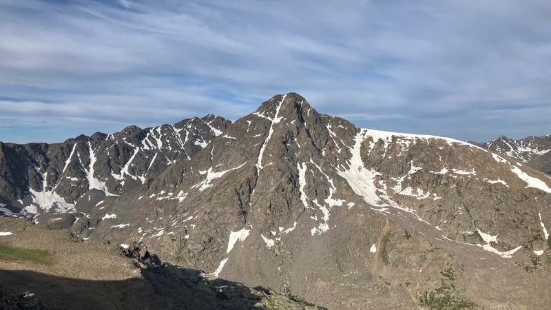
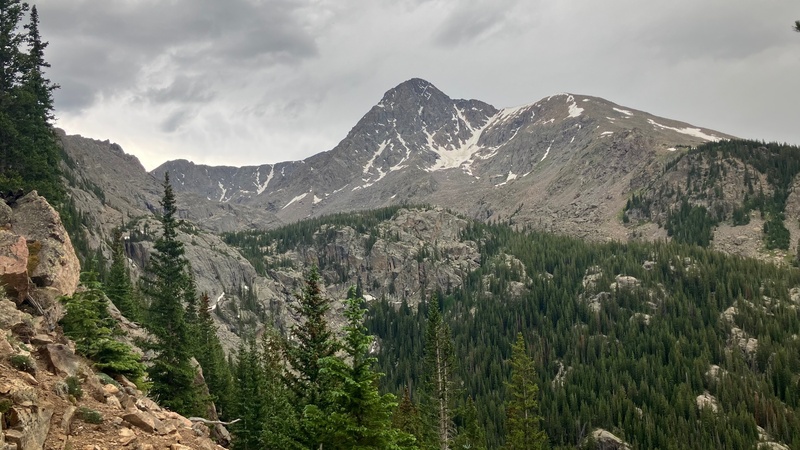
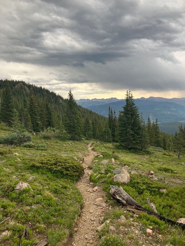
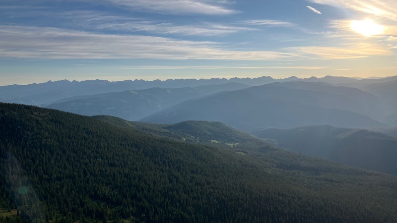
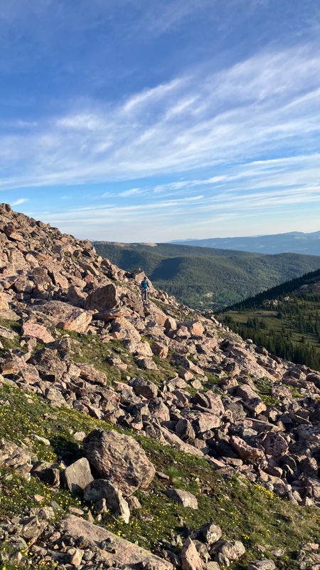
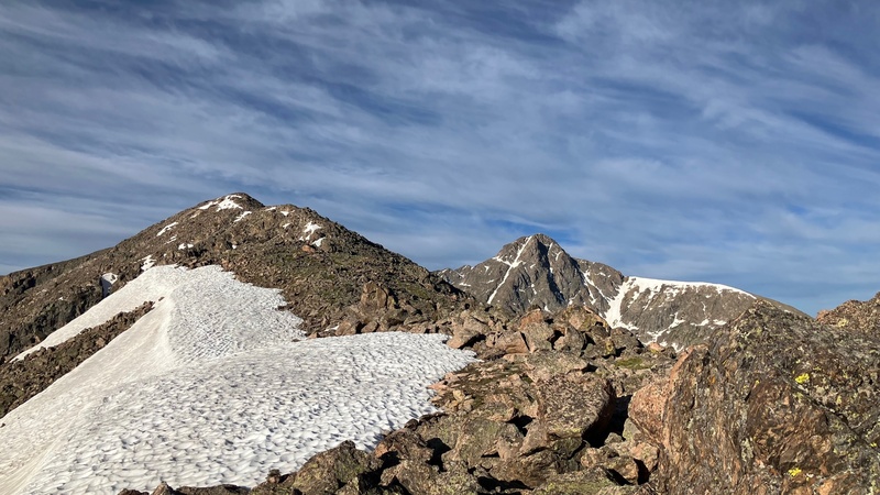
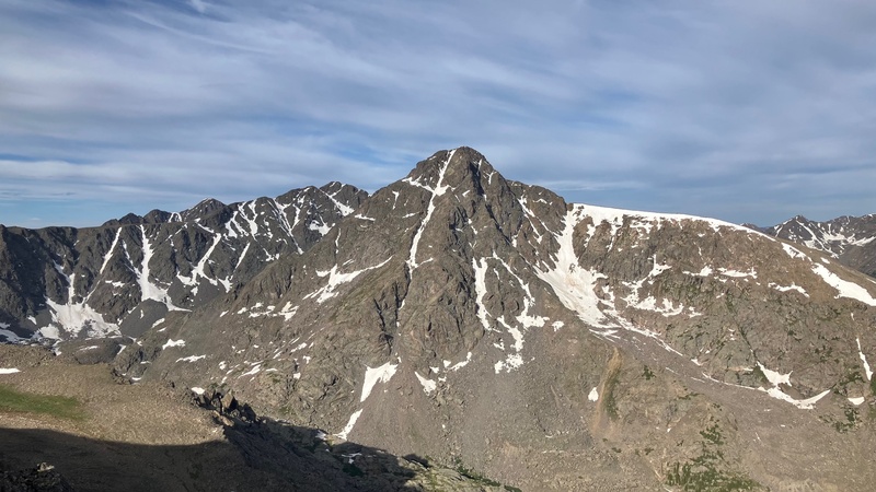
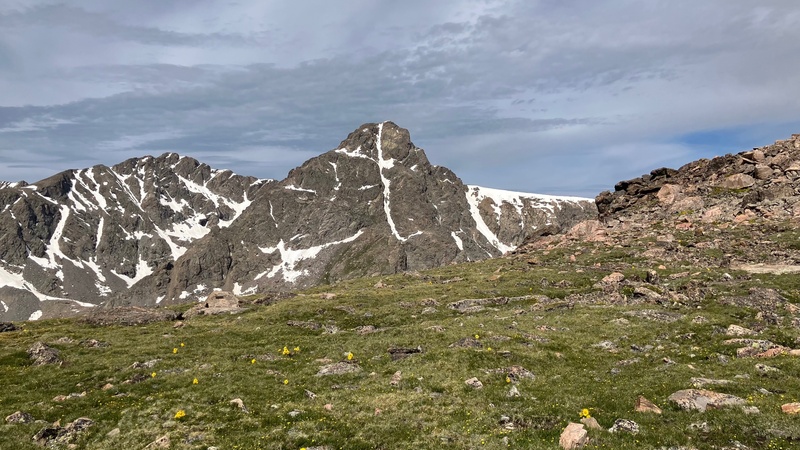
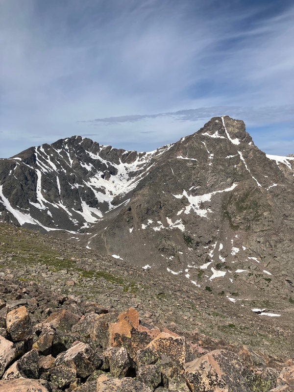
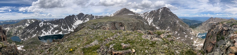
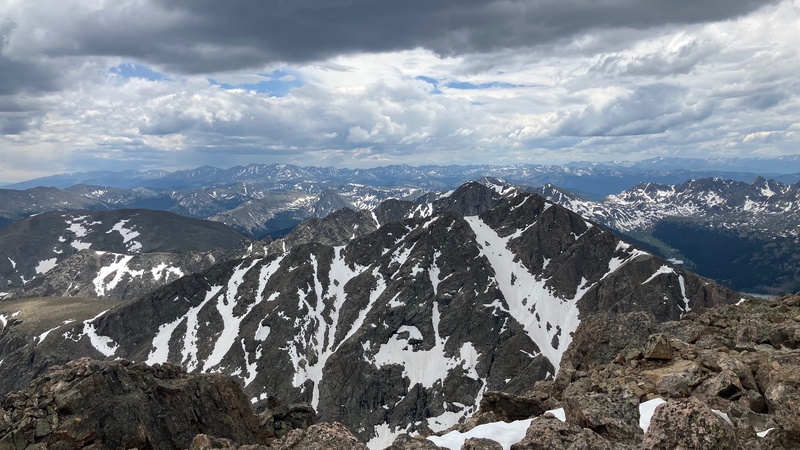
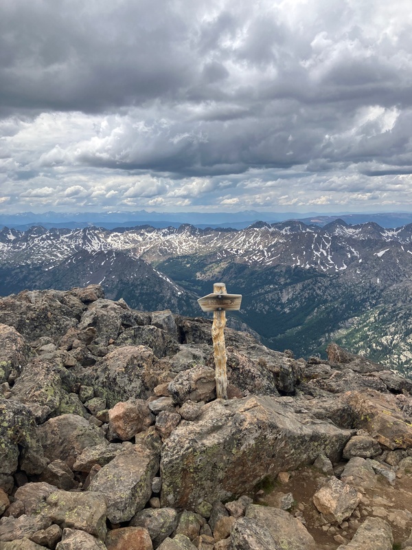
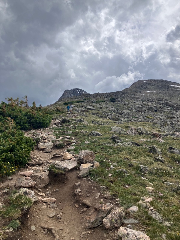
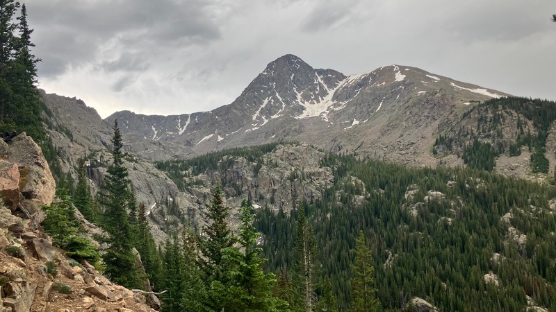
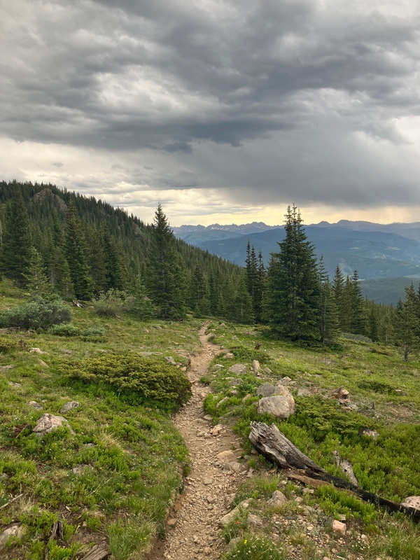
This is a big one. My alarm went off at 3:30 AM and I woke up with a start, but then I remembered why I was waking up so early. The day I had been planning for a year and a half was finally upon me. I meandered into the kitchen of the VRBO in Leadville that me and my family were staying at and met my climbing partners for the day: my brother and dad. We ate quickly, grabbed our bags, and clambered into our 2006 Toyota Sienna. After about a 40 minutes of driving we arrived at the turnoff for Tigiwon Road. After slowly creeping up the road we reached the Halfmoon Trailhead and began our hike. We enjoyed the well established trail for the 1.5 miles up to Halfmoon Pass. On our trek upward we had a trail runner pass us, one of the only two people that we encountered on this epic adventure. Upon reaching the pass we turned south (hiker's left) onto the trail for Notch Mountain. However, we only stuck to the trail for a short time because we discovered a hard packed snow patch that we didn't feel comfortable crossing, so we ascended to avoid it and decided to keep the elevation. We met back up with the trail when it reached our elevation. After a few switchbacks we got the first view of the mountain. It was truly ethereal experience; there in front of me was a nearly perfect snowy cross across the valley. We took our first break of the day at this moment and got fueled up before making the final push up to Notch Mountain. There were a few places along the ridge were we had to dodge patches of snow, but other than that there was nothing of consequence, and we soon arrived at the first summit of the day 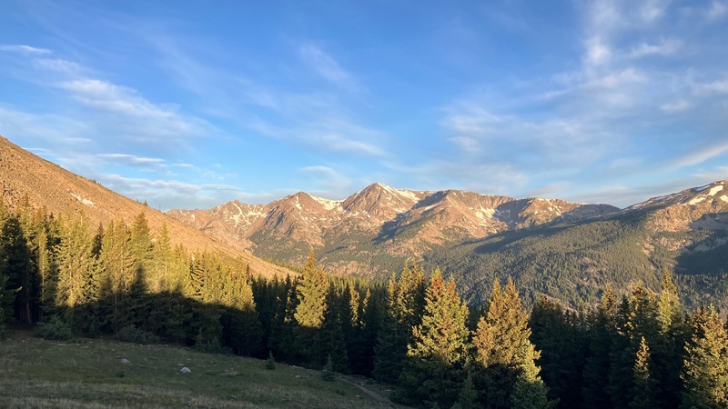
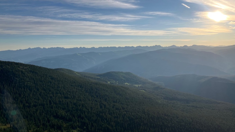
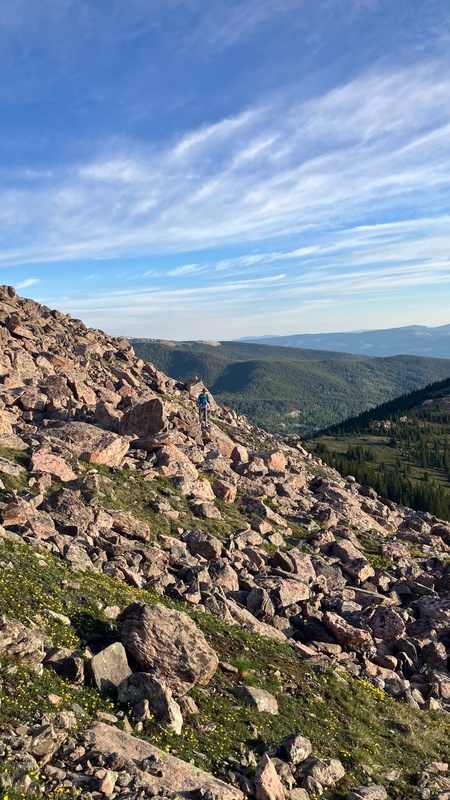
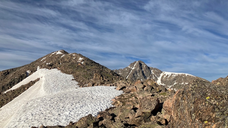
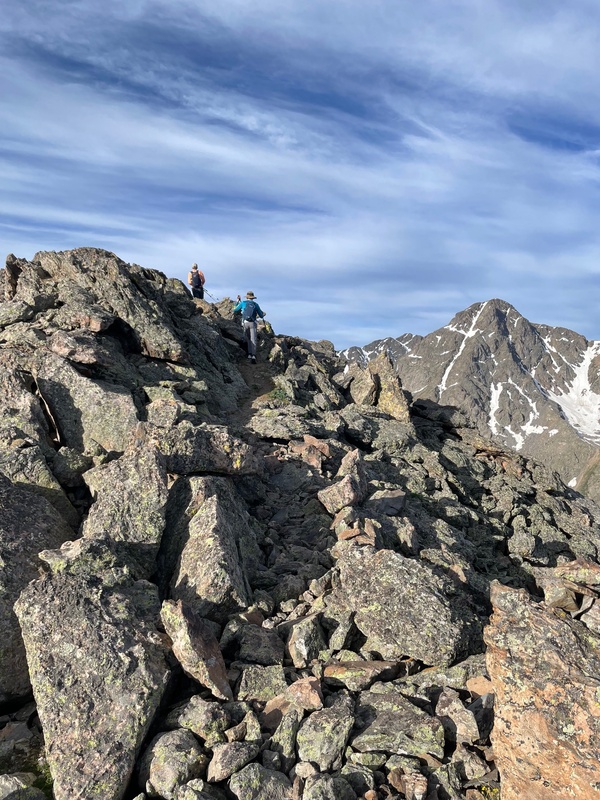
. 
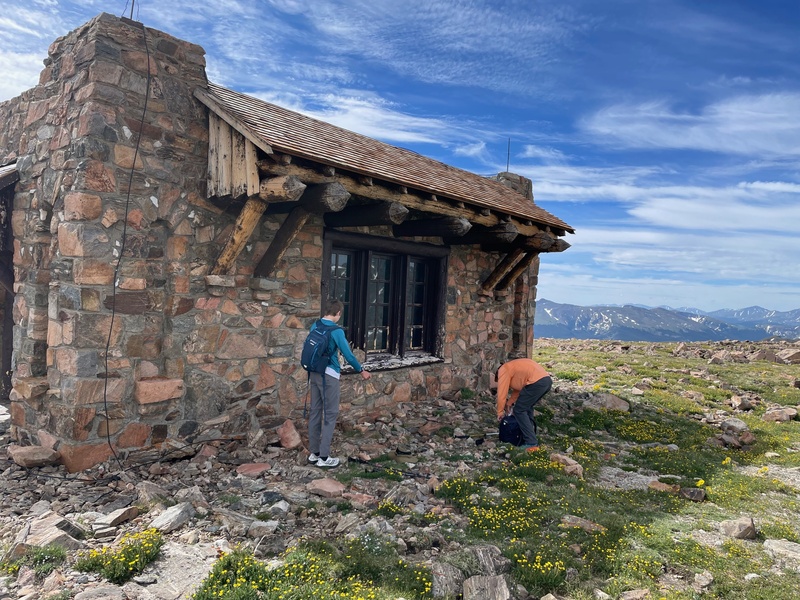
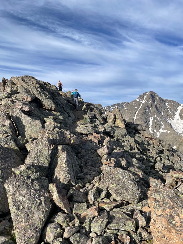
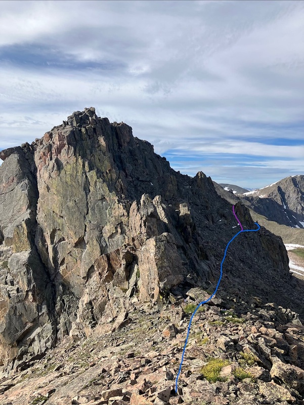
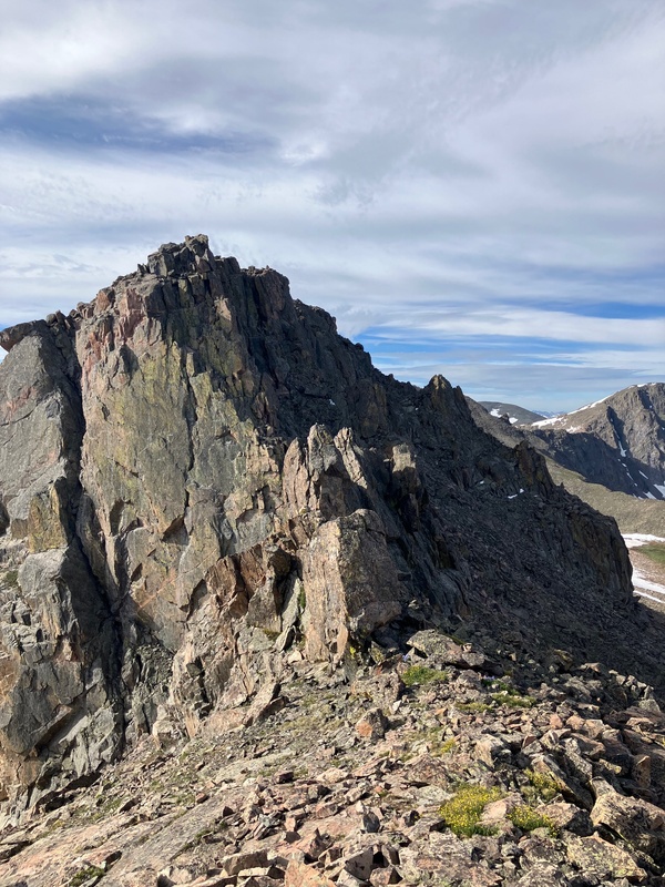
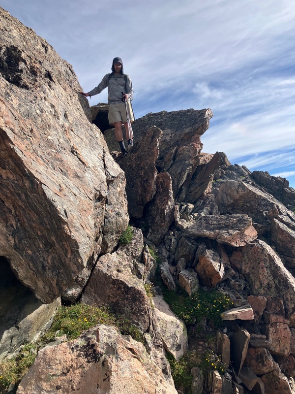
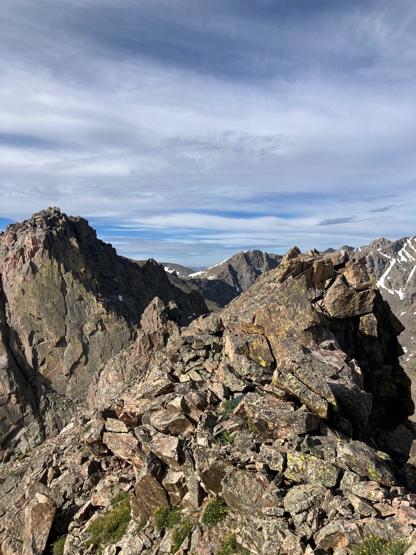
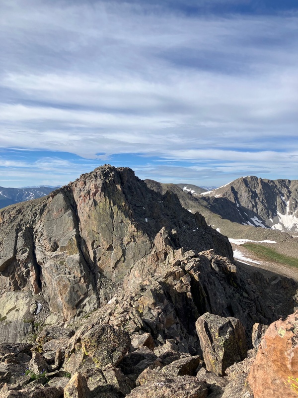
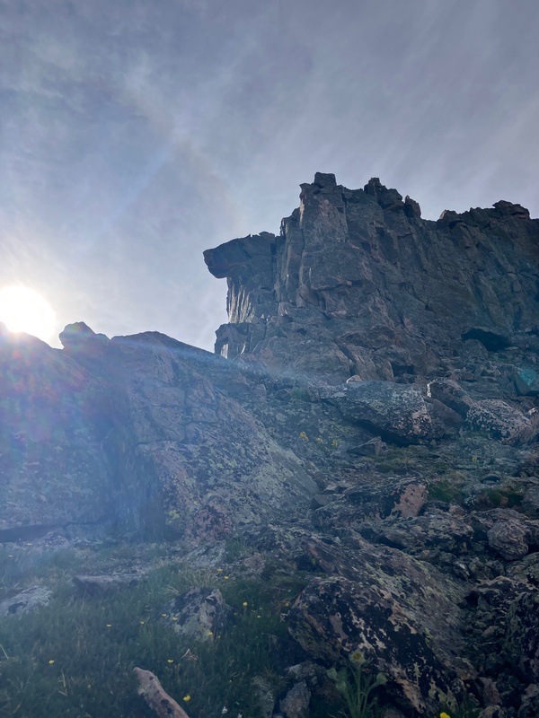
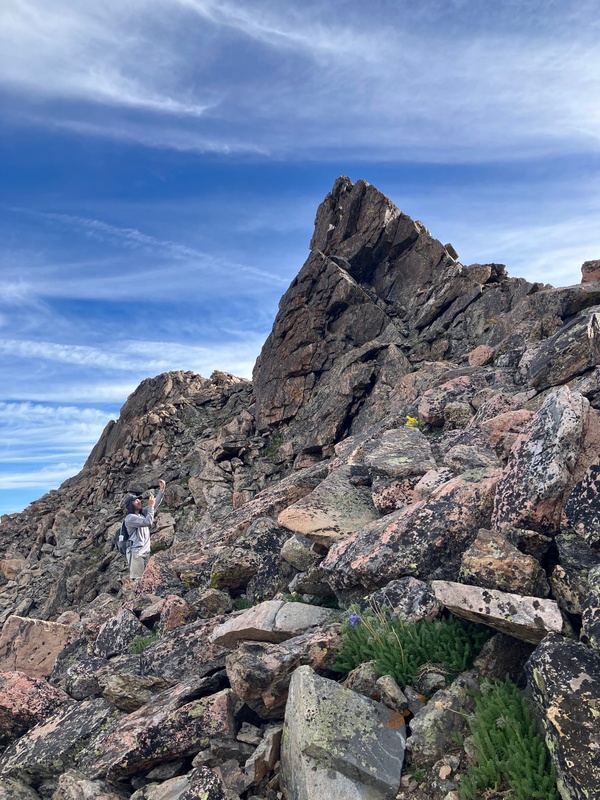
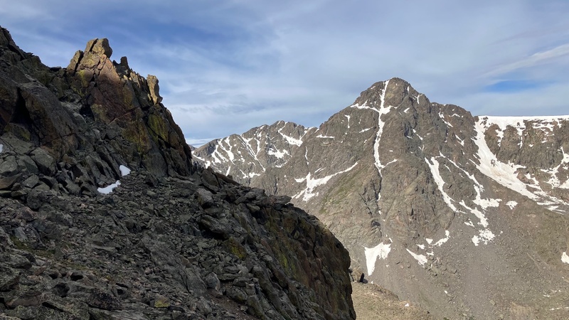
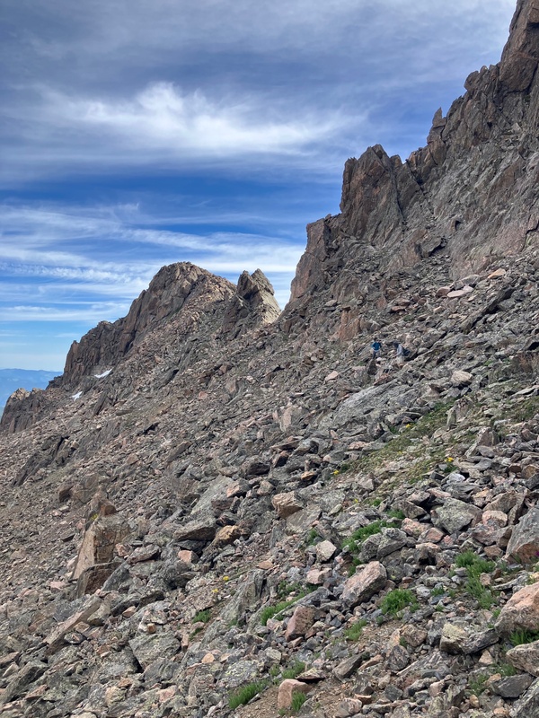
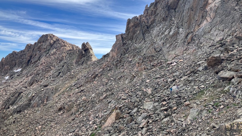
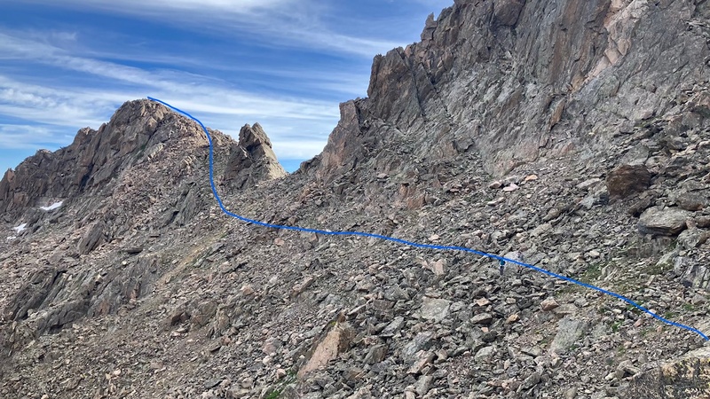
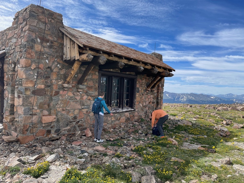
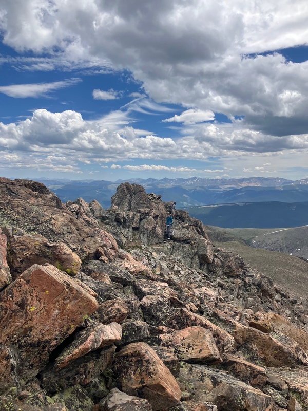
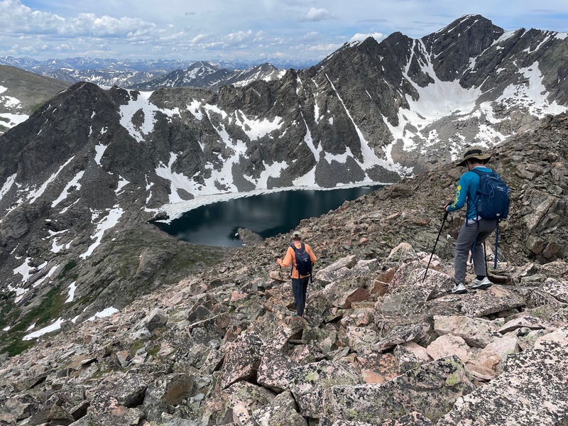
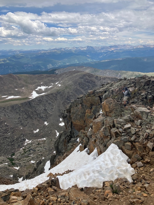
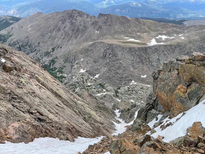
After spending ten minutes to take pictures on the top of Notch Mountain, we started the part of hike I was most unsure about: the Notch Mountain Traverse. It turned out to be not difficult, and in fact rather fun. There were cairns basically the entire way. On the way down to the saddle the route sticks to just on or below the ridge crest. Anytime we were not on the ridge crest we were to the east of it (hiker's left). This held true until we reached what I have seen other trip reports dub "The Shark's Fin". Upon reaching the Shark's Fin we crossed over to the west side of the ridge (hiker's right). After descending a class 2 ramp we found ourselves on the west face of the southern summit of Notch Mountain. We pretty much held steady across the ledges of the face until we got to the first rock rib we had to navigate around. There are two main options, a class 3 one and a class two walk around. I ended up doing the walk around while my dad and brother successfully made it up the class 3 pitch. After this we crossed a few more talus ledges before coming upon the second rock rib that we had to cross. This one was rather straightforward, and the difficulty only goes to difficult class 2. Following this we turned east and headed up the talus to the ridge above the Notch Mountain Shelter. An easy walk to shelter ensued as we completed the hardest part of the day. 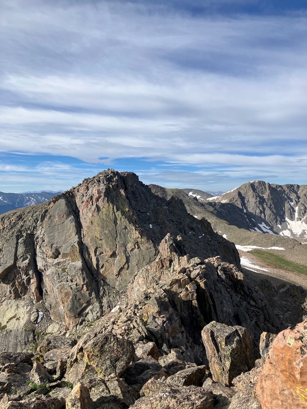
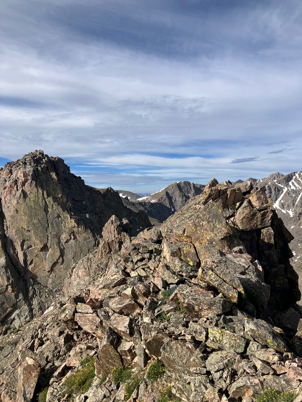
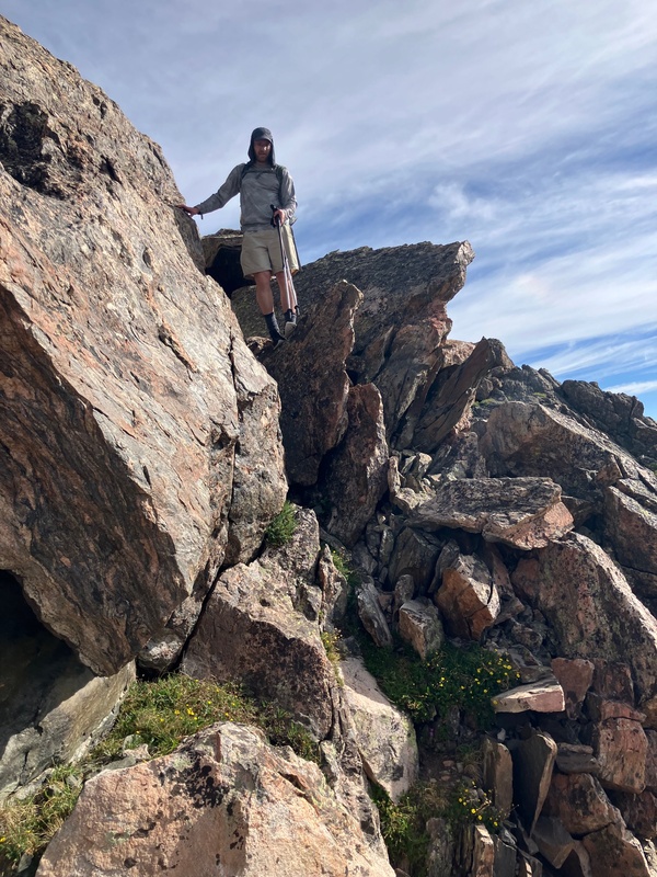
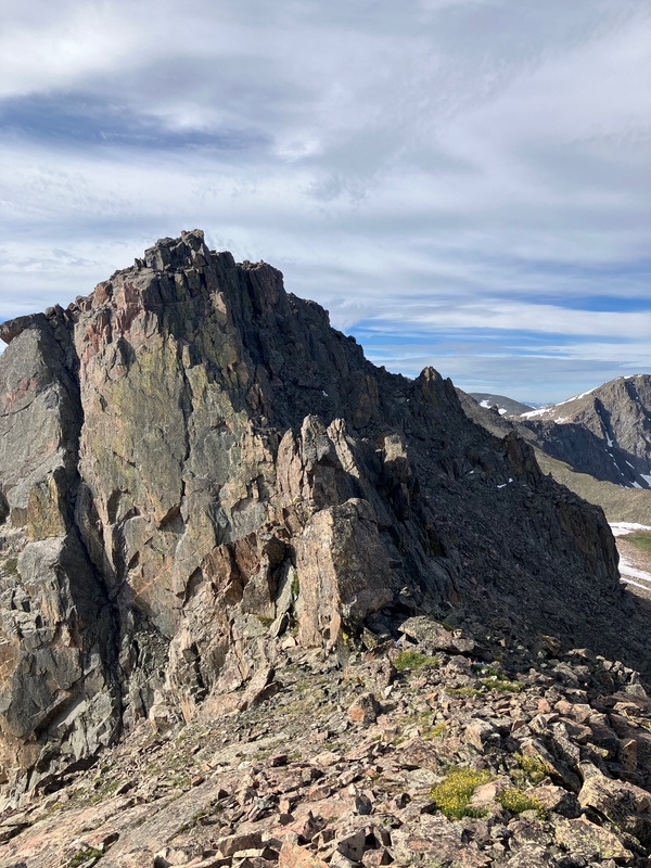
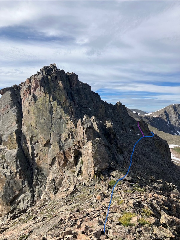
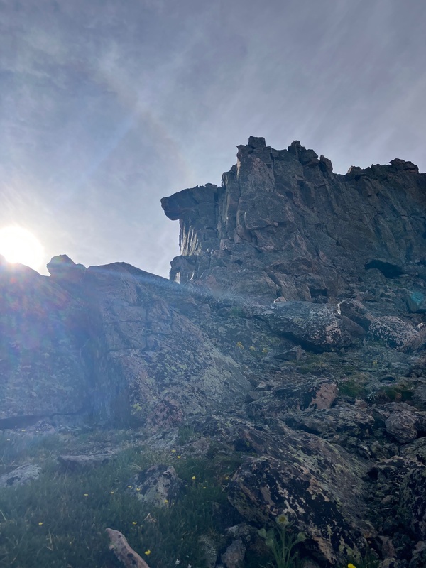
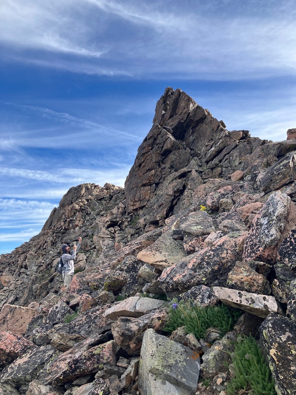
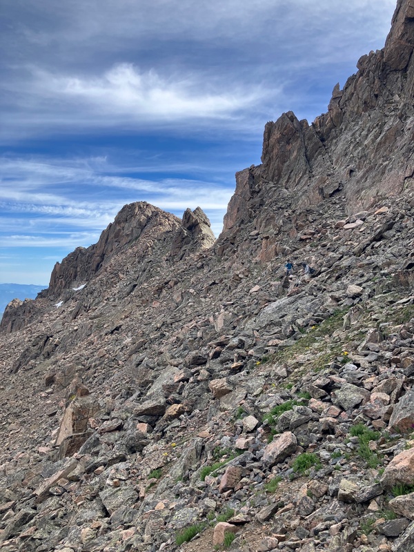
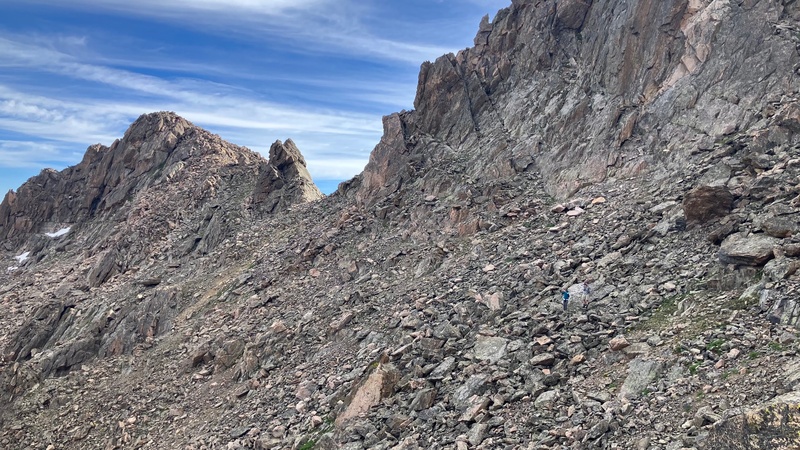
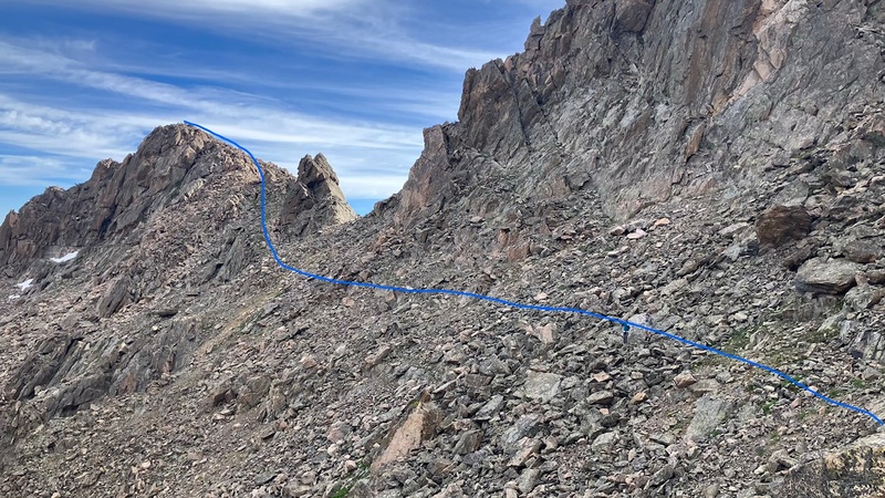
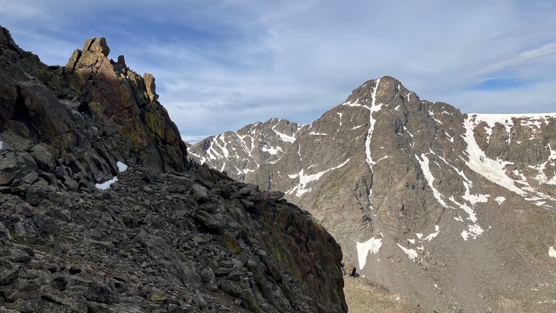
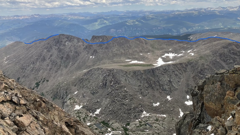
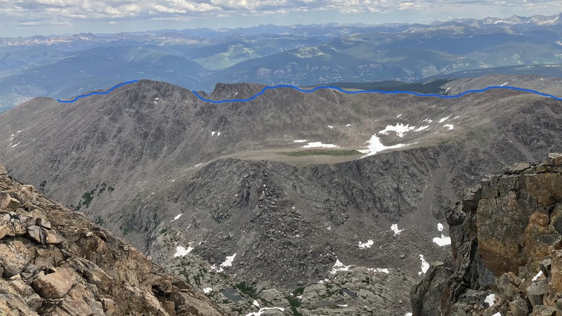
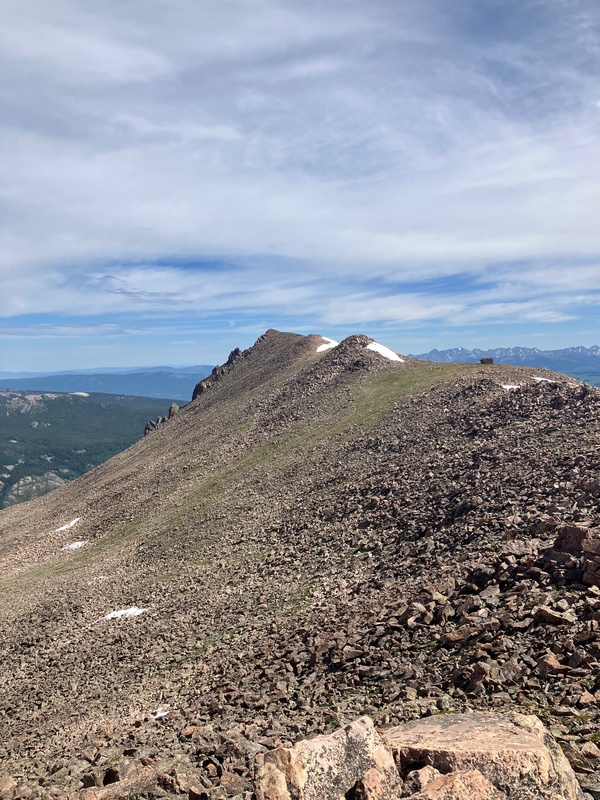
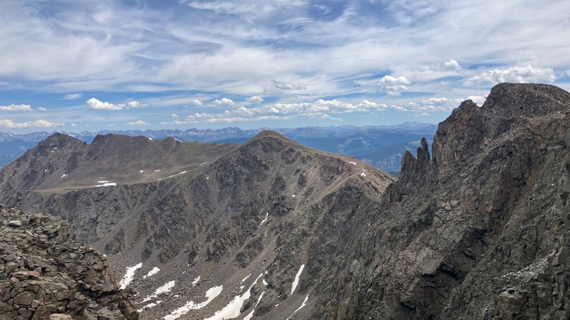
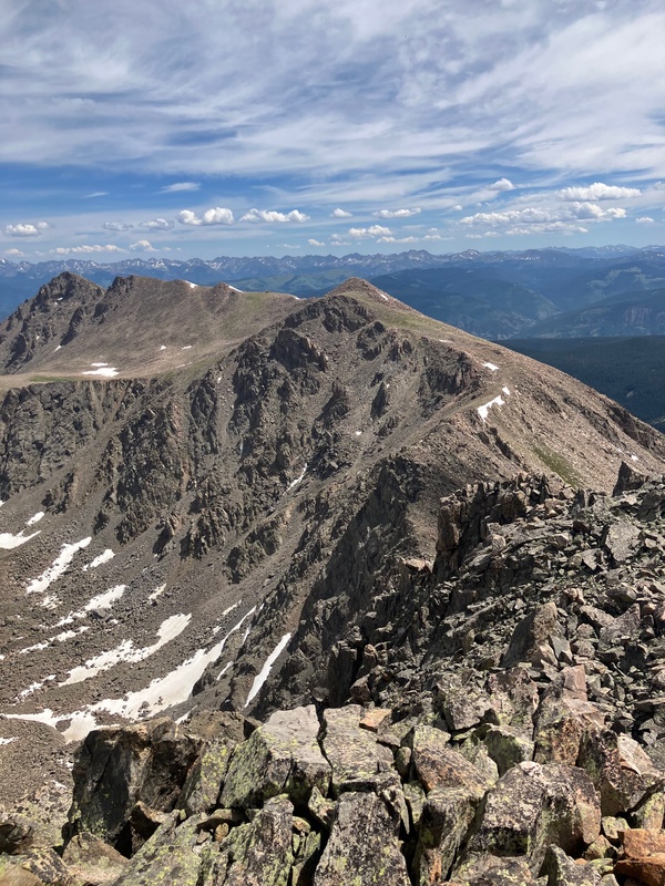
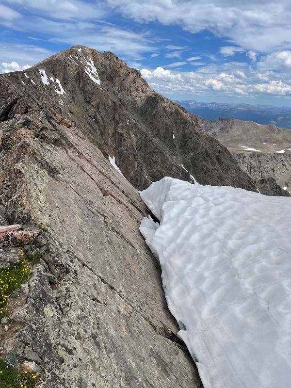
The part of the line that is not showing is where the route is behind the ridge. After taking a break at the Shelter to put on sunscreen and refuel, we started off again. Next up was UN 13,253. After an uneventful ridge walk we arrived at the summit of this ranked 13er. For anyone curious, you just stay ridge proper the entire time. Descending off this point was easy at first, but get more difficult as we approached the saddle between UN 13,253 and Pt. 13,373. There are multiple places where it is easier to drop below the ridge proper on the eastern (hiker's left). 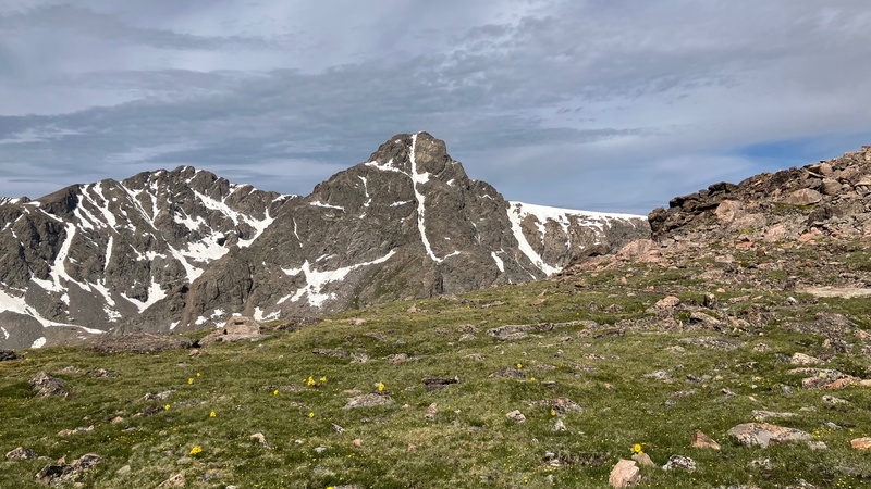
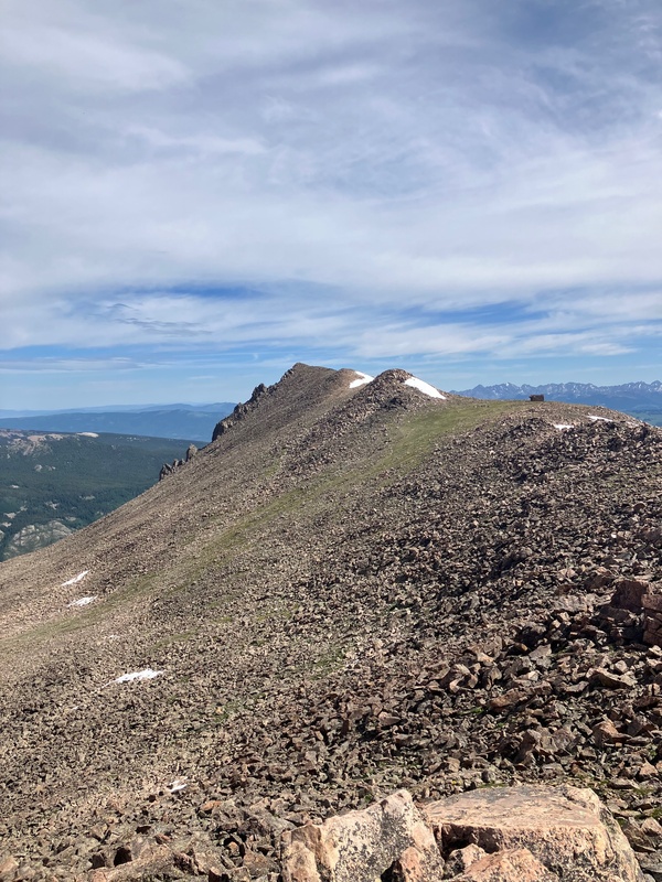
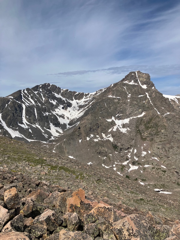
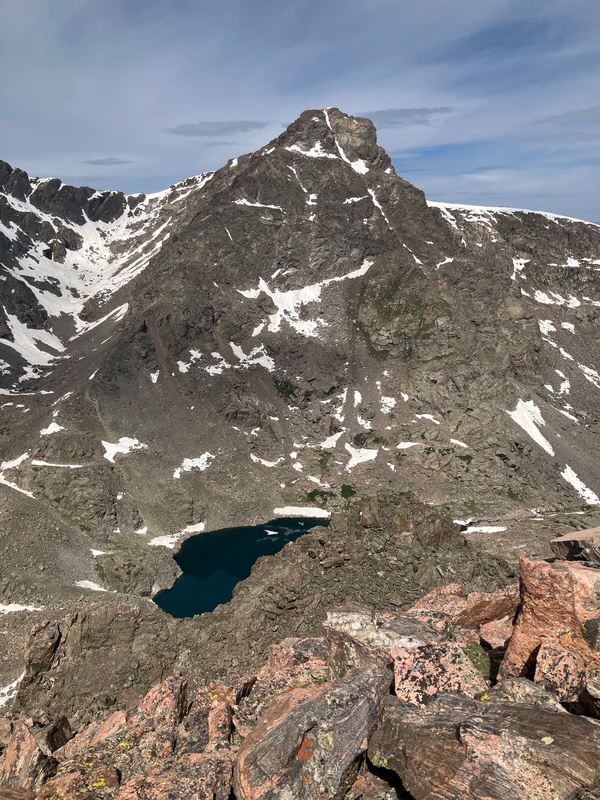
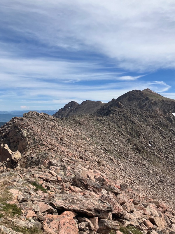
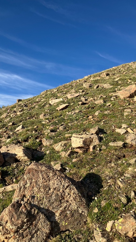
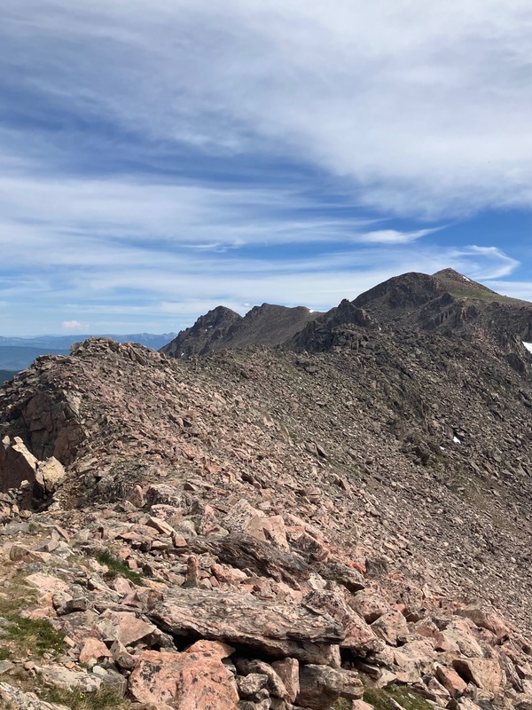
The climb up Pt. 13,373 was very steep. Those words just don't capture the torture that my legs went through climbing that section. The only saving grace was that it was only 400 some vertical feet. We had lunch on top of Pt. 13,373 and then continued on to a relatively flat section of ridge. 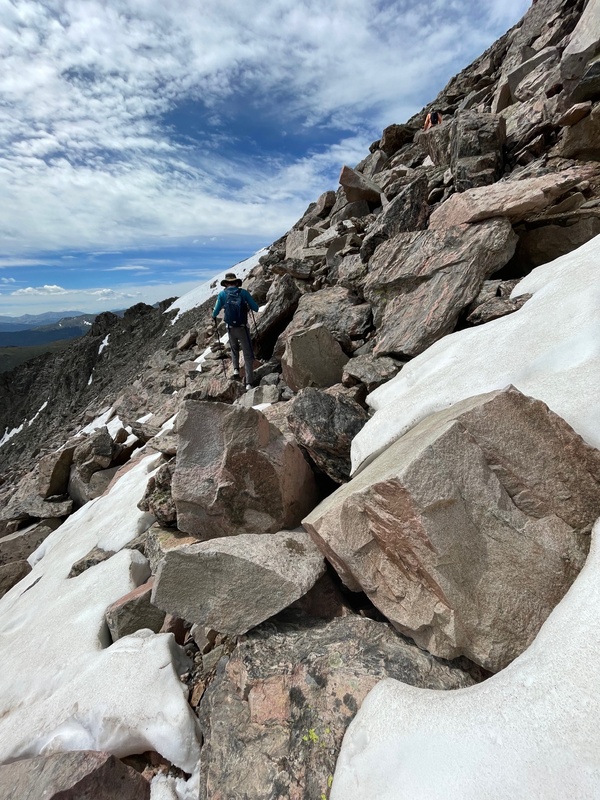
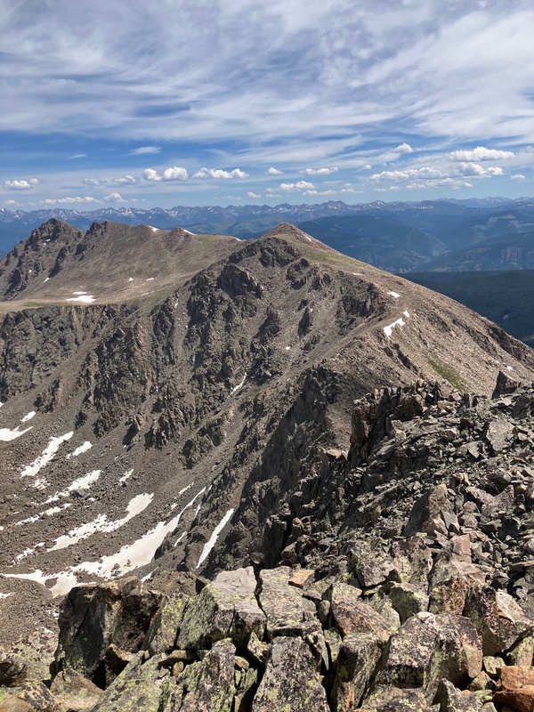
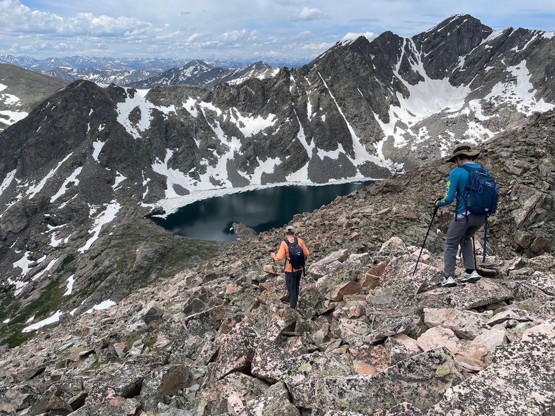
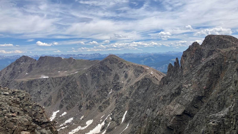
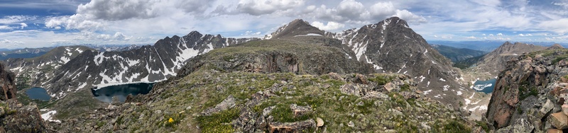
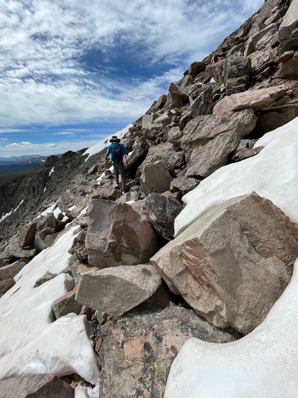
We slowly but surely made our way up the many false summits Holy Cross Ridge (there's like 4) and successfully summited. Just below the summit we saw our second and final person of the day. He was just descending off of the summit and was doing the Halo Ridge route in the counter-clockwise fashion. There were a few minor snow crossing below the summit of Holy Cross Ridge, but they did not force us to deviate from the route at all. I signed the summit register for us and we kept moving. 4 peaks down, 1 to go. 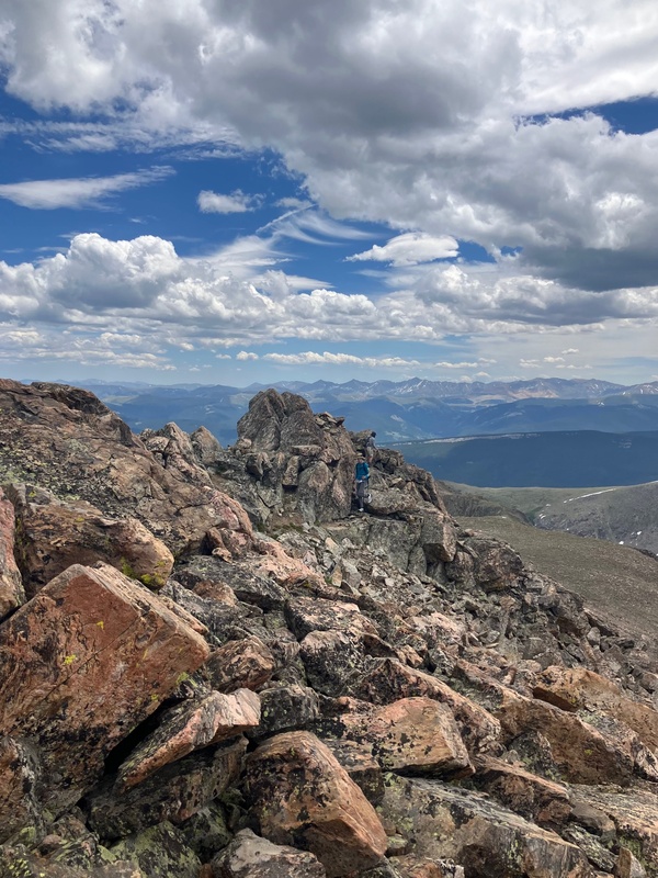
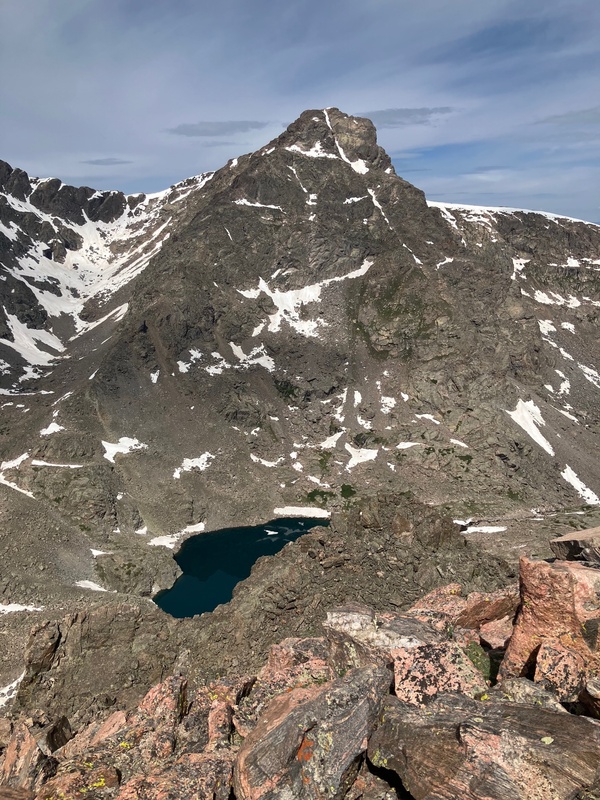
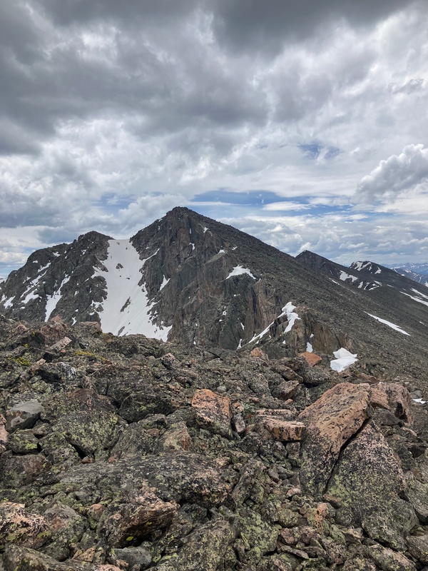
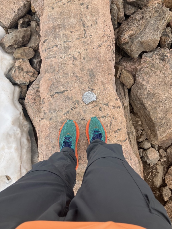
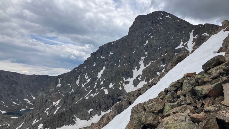
We ascended Mt. of the Holy Cross without incident, and soon we stood upon its summit. 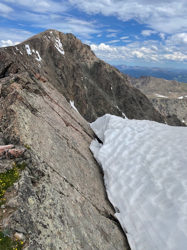
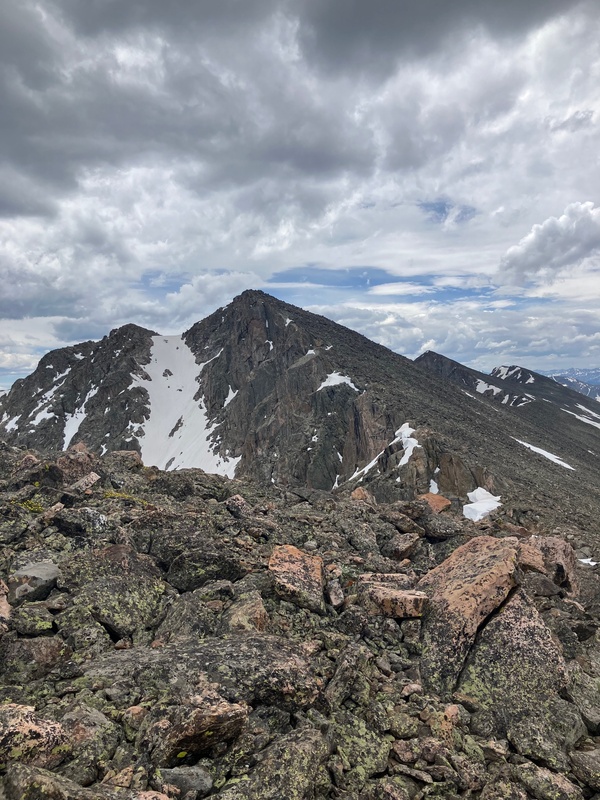
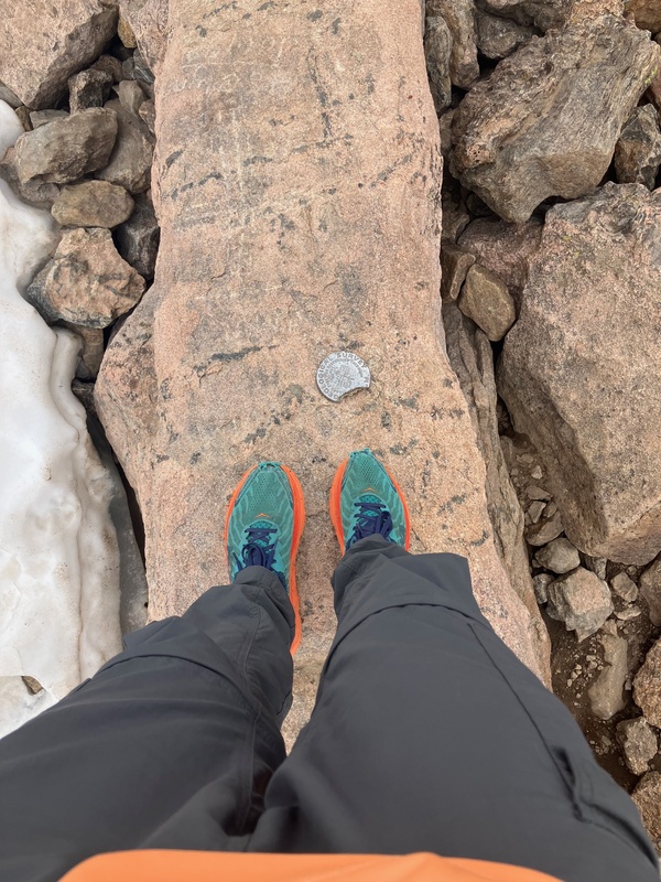
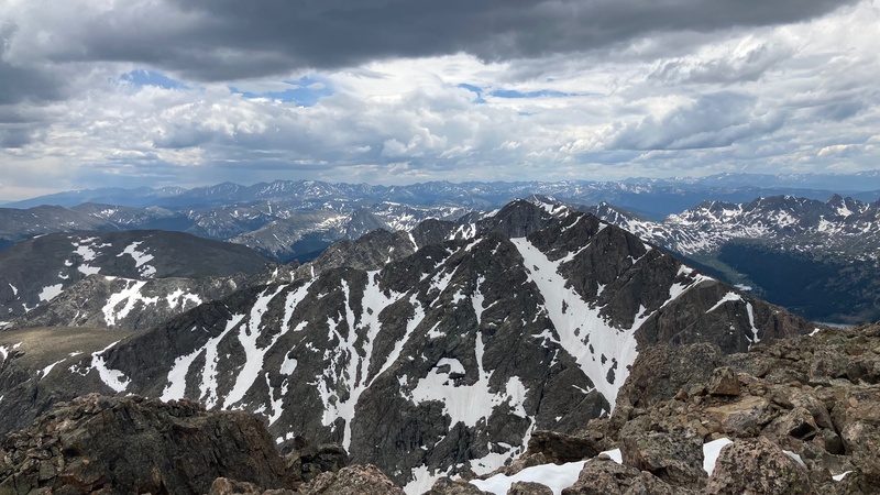
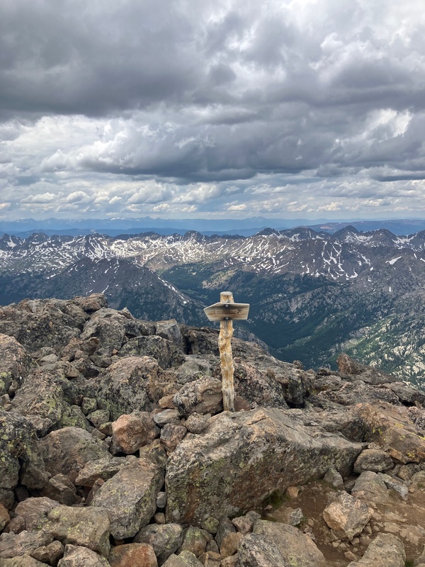
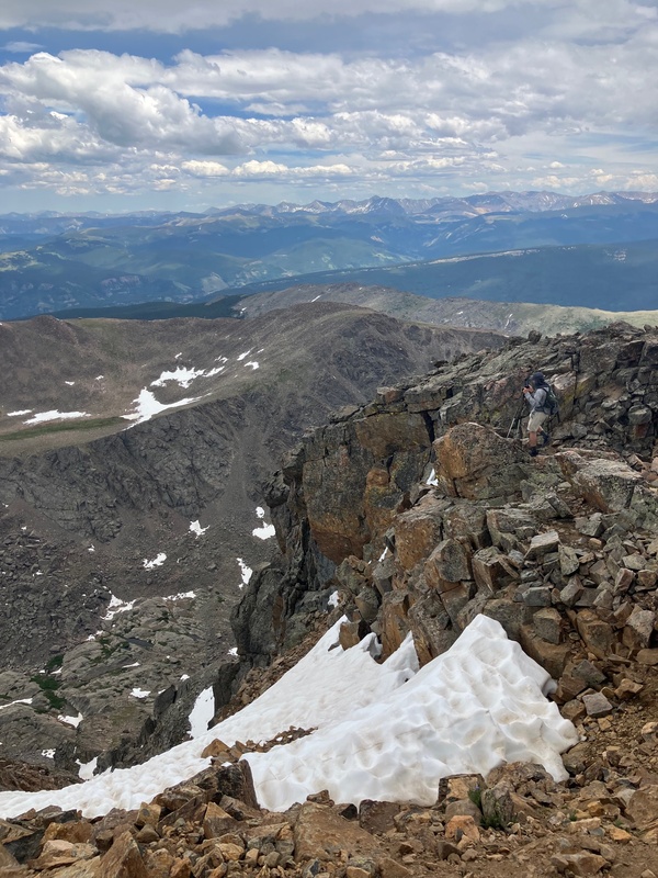
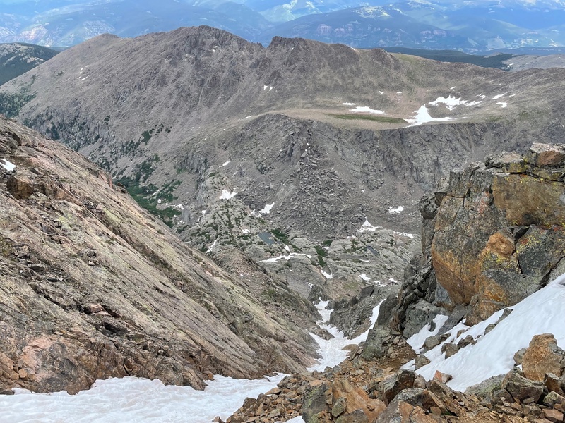
We could hear a storm moving in from the south, so we hastened to start our way down the north ridge. Once we got to tree line we started running when we felt a few raindrops, but luckily it didn't start raining any harder... for now. The thunder was staying the west of us, and we were heading east, so we didn't have any problems when we were briefly above tree line at Half Moon Pass. There are two things that I personally think are overhyped about this route. For one, the thousand foot climb back up Half Moon Pass wasn't nearly as bad as I have heard people say. Don't get me wrong, it's not easy by any stretch of the imagination, but I would rather do that than the 400 foot climb up Pt. 13,373. I think the fact that there is an established trail for the climb makes it feel much easier. Another thing is the bugs. I had heard that the mosquitoes in the Half Moon Creek drainage are absolutely atrocious, but when we made our way through there they were almost nonexistent. However, I recognize that this was just one day in history, and I could have just gotten very lucky with the lack of bugs. From the top of Half Moon Pass we quickly descended back to the car to round out the day...or so we thought. 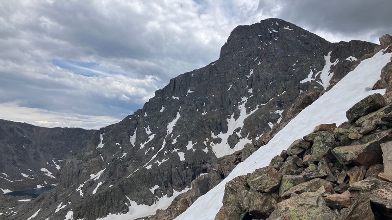
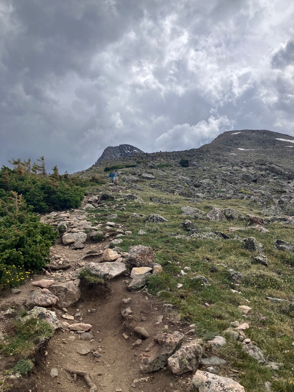
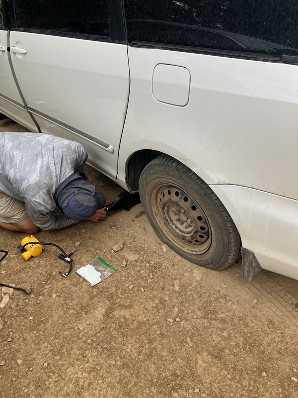
Upon reaching the parking lot we noticed the car was rather off-kilter. Soon enough we discovered that both the tires on the driver's side were completely flat. Luckily we had a tiny air compressor and tire plug kit with, but we were still stuck at the trailhead for just over two hours. While we were waiting the afternoon storms rolled in, but luckily there was no lightning to accompany them. We did get an opportunity to talk with a few guys that were planning on doing Cross Couloir the next day, so that was fun. The air compressor that we had kept overheating because of the thin mountain air, but we were eventually able to get enough psi to crawl our way back down the road that had given us the punctures. We rolled back into the driveway of our VRBO 15 hours after we had left it that morning. 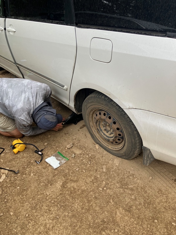
This route is my favorite to date, doing off trail climbs always gives me a very deep level of satisfaction. I would recommend it to anyone who has very good route-finding skills and a very high level of fitness. This is not a beginners hike in the slightest. This route is above tree line for well over half of the time, so only attempt with an exceptional weather window. Know your limits and remember that your are ultimately responsible for yourself in the mountains. Not getting in over your head is the best way to prevent a rescue from having to take place. Treat the mountains with the respect they deserve and you will live to climb another day. Have fun and be safe out there! Thumbnails for uploaded photos (click to open slideshow): 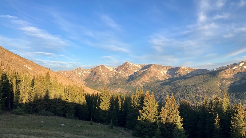
|
| Comments or Questions |
|---|
|
|
Caution: The information contained in this report may not be accurate and should not be the only resource used in preparation for your climb. Failure to have the necessary experience, physical conditioning, supplies or equipment can result in injury or death. 14ers.com and the author(s) of this report provide no warranties, either express or implied, that the information provided is accurate or reliable. By using the information provided, you agree to indemnify and hold harmless 14ers.com and the report author(s) with respect to any claims and demands against them, including any attorney fees and expenses. Please read the 14ers.com Safety and Disclaimer pages for more information.
Copyright: Route information, text, risk factors, maps, GPX files, charts, photos, 14ers.com-created map imagery, flythroughs, and other content provided in this route description are copyrighted by 14ers.com and may not be copied, reproduced, republished, distributed, modified, or used to create derivative works without prior written permission.
Please respect private property: 14ers.com supports the rights of private landowners to determine how and by whom their land will be used. In Colorado, it is your responsibility to determine if land is private and to obtain the appropriate permission before entering the property.


