Download Agreement, Release, and Acknowledgement of Risk:
You (the person requesting this file download) fully understand mountain climbing ("Activity") involves risks and dangers of serious bodily injury, including permanent disability, paralysis, and death ("Risks") and you fully accept and assume all such risks and all responsibility for losses, costs, and damages you incur as a result of your participation in this Activity.
You acknowledge that information in the file you have chosen to download may not be accurate and may contain errors. You agree to assume all risks when using this information and agree to release and discharge 14ers.com, 14ers Inc. and the author(s) of such information (collectively, the "Released Parties").
You hereby discharge the Released Parties from all damages, actions, claims and liabilities of any nature, specifically including, but not limited to, damages, actions, claims and liabilities arising from or related to the negligence of the Released Parties. You further agree to indemnify, hold harmless and defend 14ers.com, 14ers Inc. and each of the other Released Parties from and against any loss, damage, liability and expense, including costs and attorney fees, incurred by 14ers.com, 14ers Inc. or any of the other Released Parties as a result of you using information provided on the 14ers.com or 14ers Inc. websites.
You have read this agreement, fully understand its terms and intend it to be a complete and unconditional release of all liability to the greatest extent allowed by law and agree that if any portion of this agreement is held to be invalid the balance, notwithstanding, shall continue in full force and effect.
By clicking "OK" you agree to these terms. If you DO NOT agree, click "Cancel"...
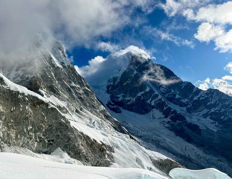
I had never climbed higher than a 14er and was about to turn 40. To celebrate, my good friend and mountain partner Lacey (Zerodark30) and I went down to the Cordillera Blanca in Peru to attempt three technical peaks above 19,000 ft in two weeks: Alpamayo (19,511’), Quitaraju (19,803’), and Chopicalqui (20,846’). We landed in Huaraz on July 8th and left the next morning for the TH in Cashapampa with our Peruvian guide and technical porter team. There we hired donkeys and set off for camp at Llama corral at ~12,000’ with day packs. The second day we hiked to Alpa-Quita base camp at ~14,100’ where tents were setup in a rocky meadow surrounded by tough-looking cattle, an array of cacti, and Polylepis spp. trees that have paper-like bark and live up to 5000 m. This is the highest tropical mountain range in the world and we were at -8°S latitude. Here are some highlights from our adventure!
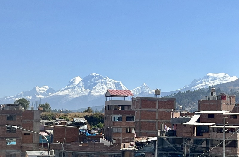
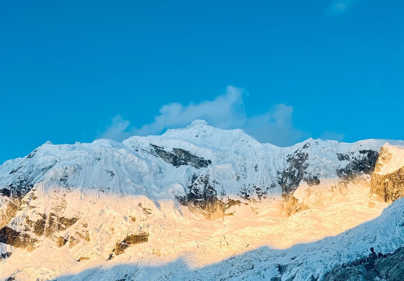
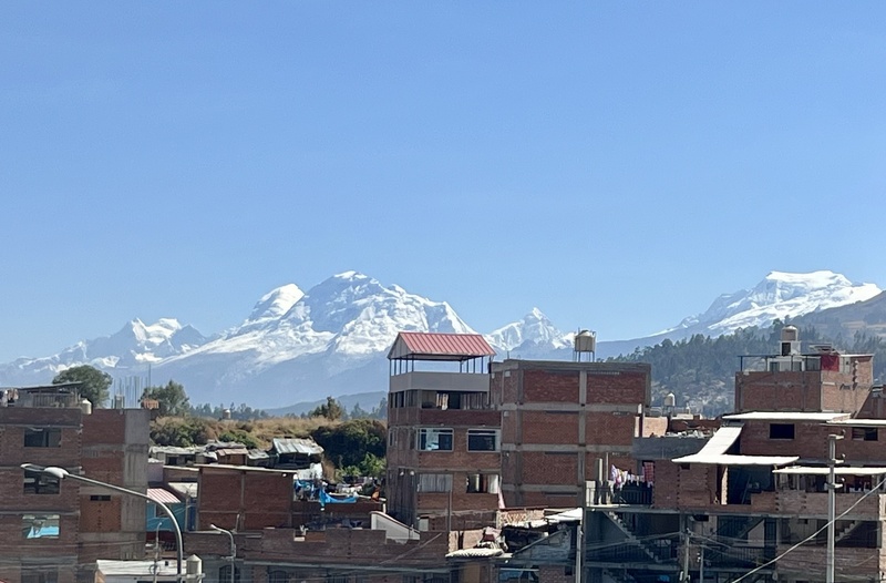
Room with a view in Huaraz, Peru (10,000') at Home Essences Huaraz. Highly recommend. Central peak is Huascarán Sur (22,205'), Peru's highest. Pointy peak to the right is Chopicalqui (20,846'). Conditions look good from here!
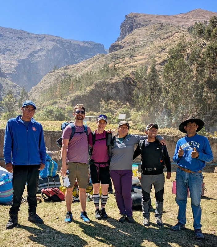
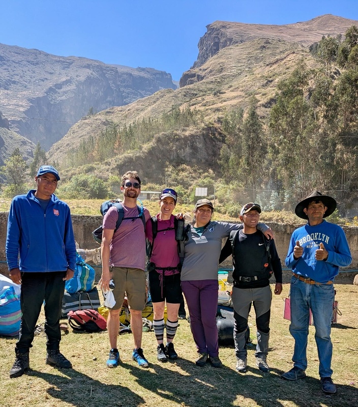
At Cashapampa TH. Bring $50 cash (=160 sol) for NP pass. L -> R (Roger, me, Lacey, Geo, Hector (guide), and our donkey driver, Narciso ; Walter took photo.
On our way! About 80°F here, thankful for camelbaks and light packs.
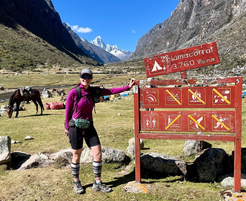
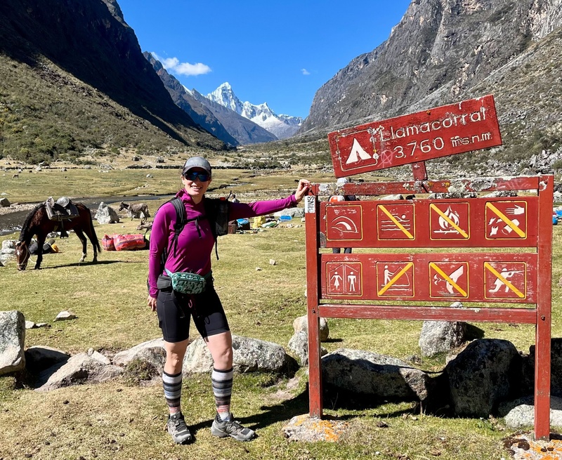
Llama corral! Unfortunately llama were another victim of COVID shutdowns. Maybe they'll escape and wander back?
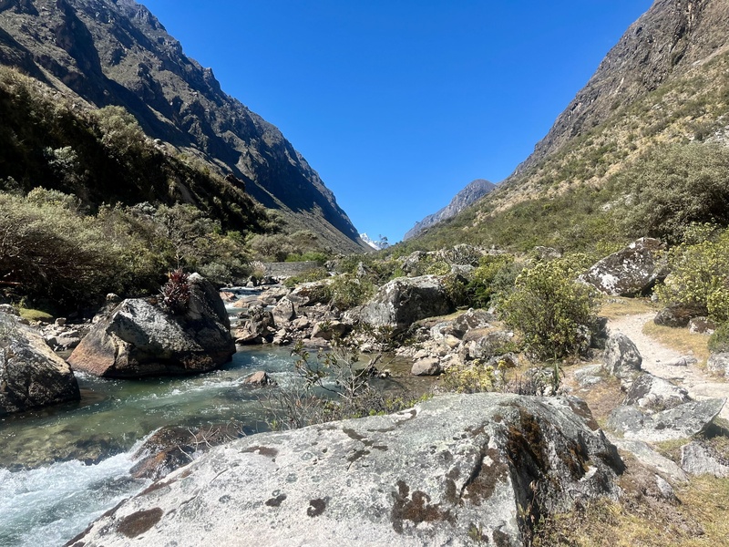
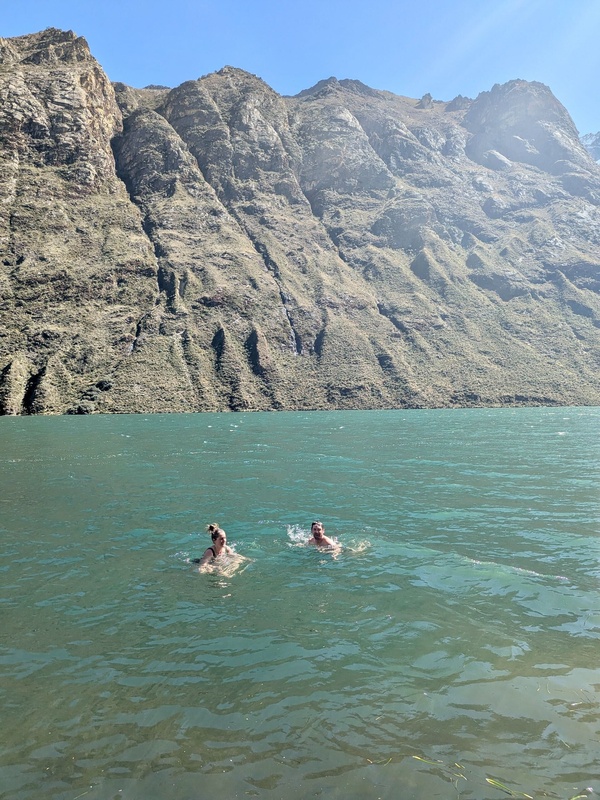
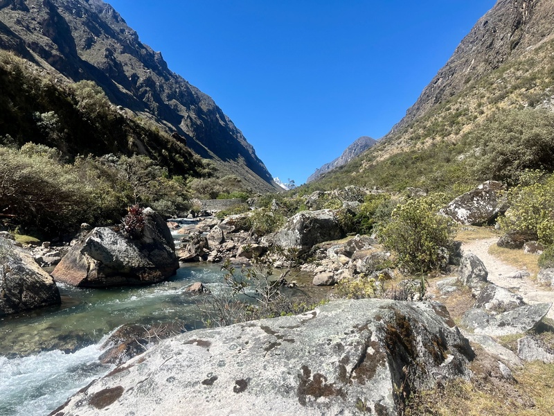
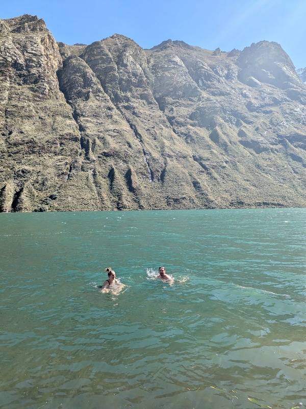
Water felt good but glaciers weren't that far away.
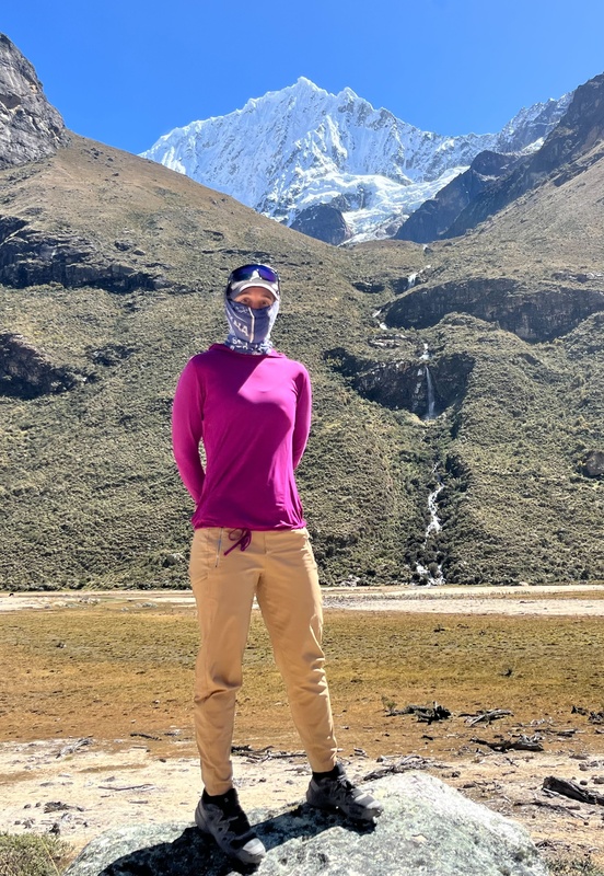
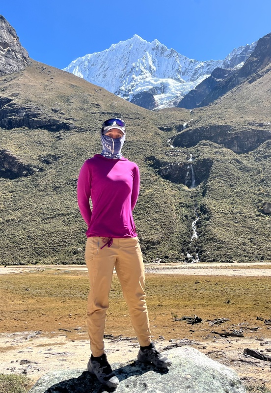
Secret badass with first glimpse of Quitaraju.
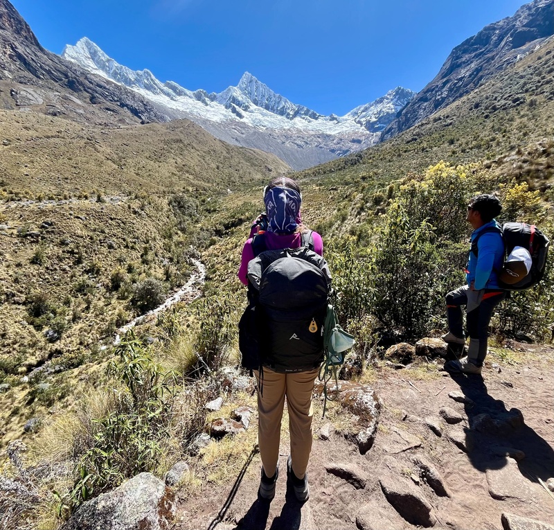
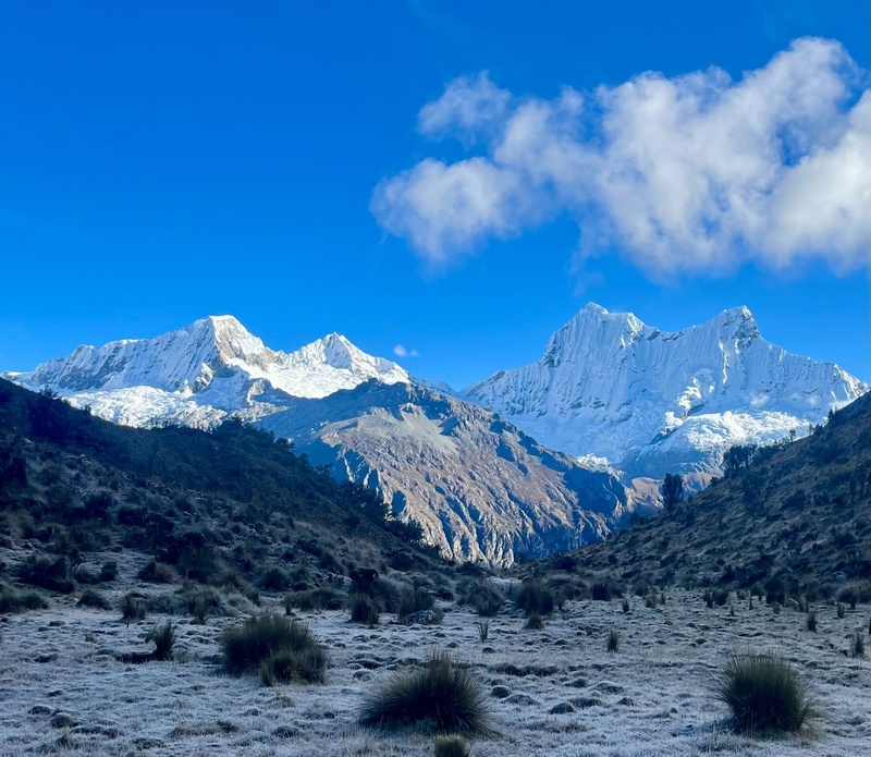
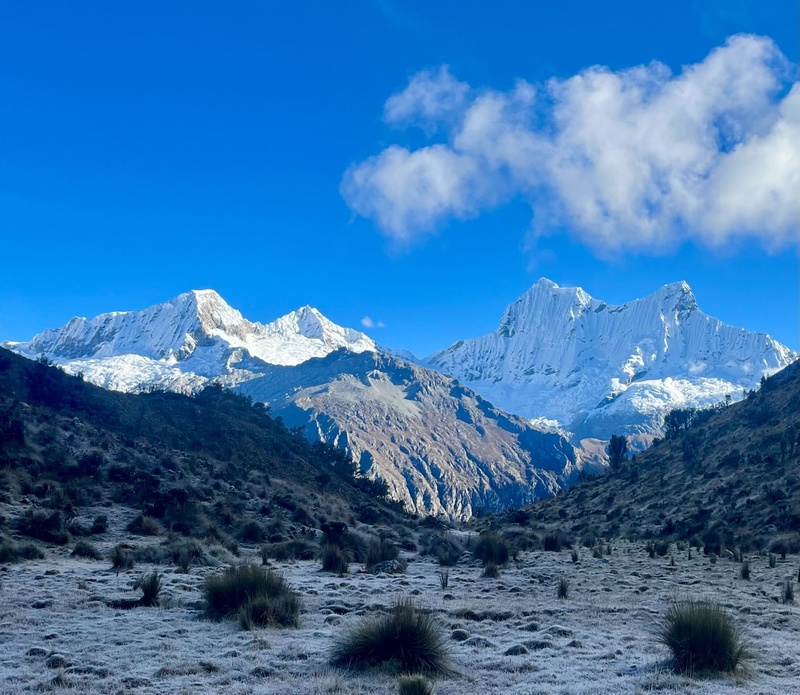
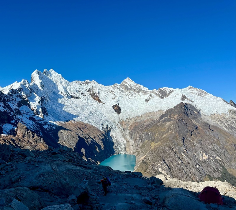
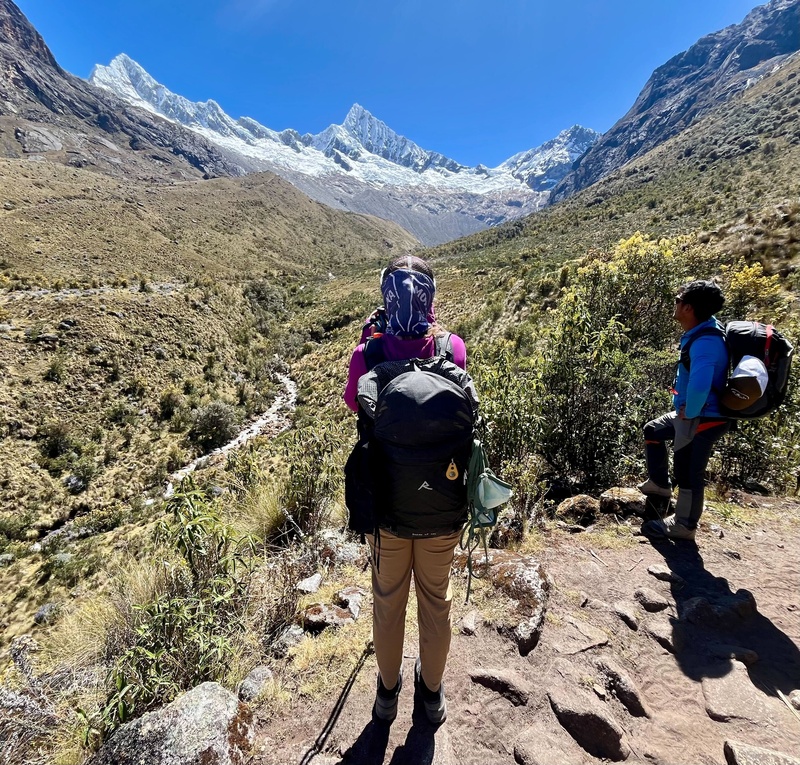
At 14,000' here. Lacey and Hector savor the view to Quitaraju (L) and Alpamayo (R). Notice all the cacti!
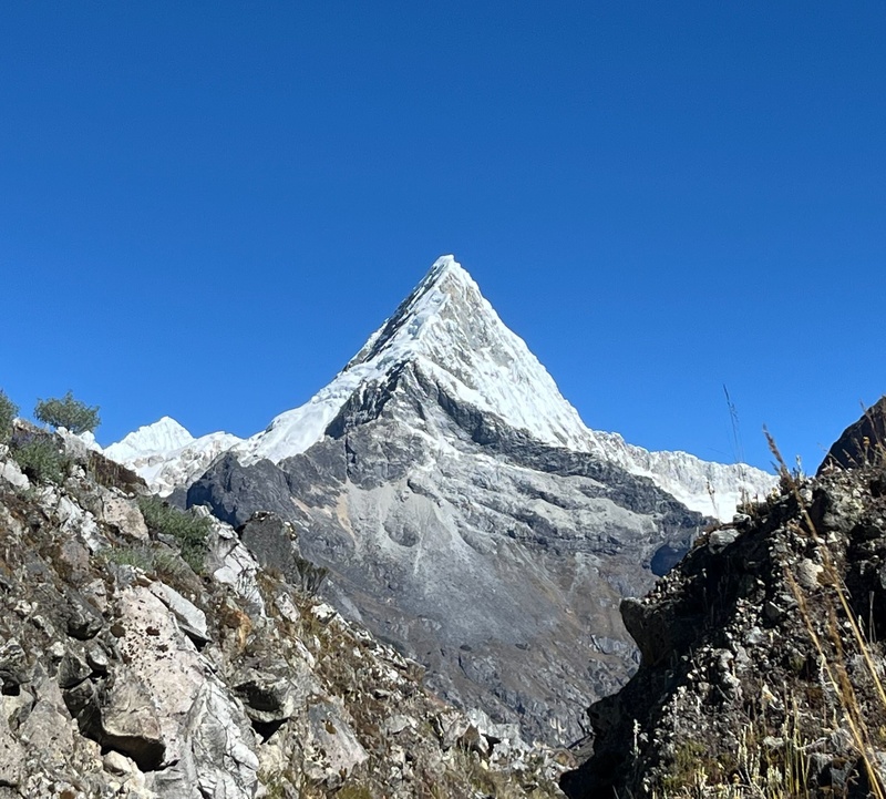
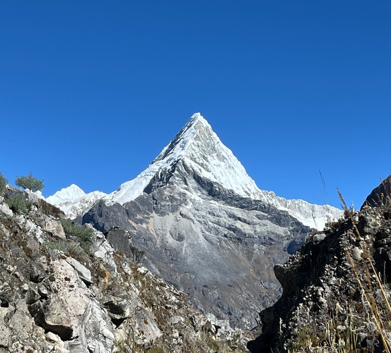
Artesonraju (19,767'). I really want to come back for this one. Remind you of anything??
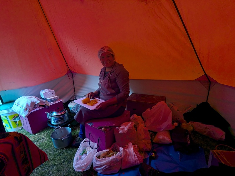
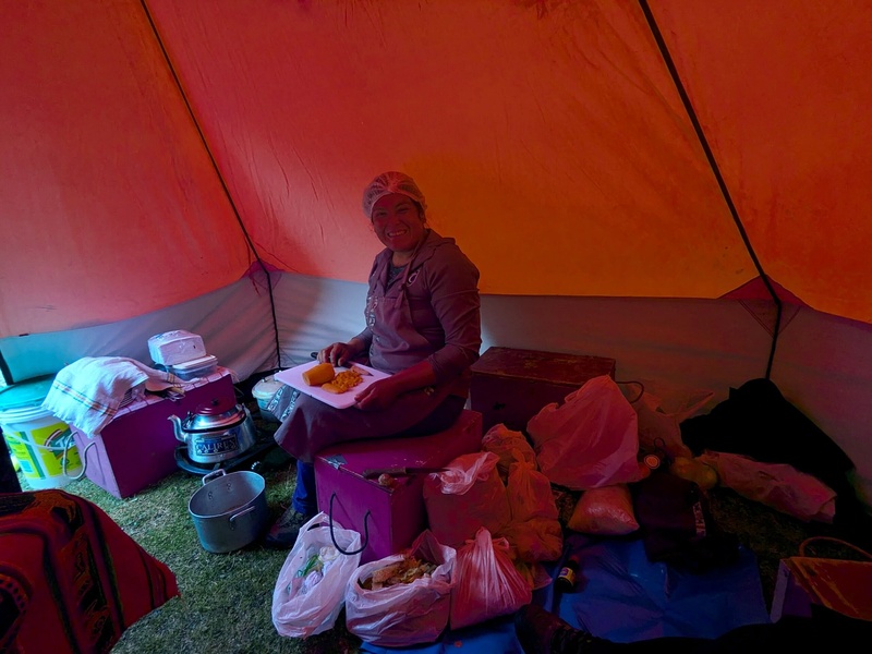
Geo was an incredible cook. She made us delicious meals from scratch up to 18,000' and has strong technical skills, too! We were truly spoiled.
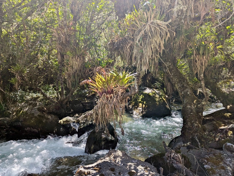
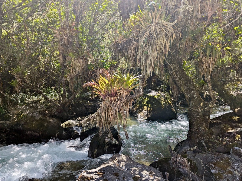
Such a cool, weird environment!
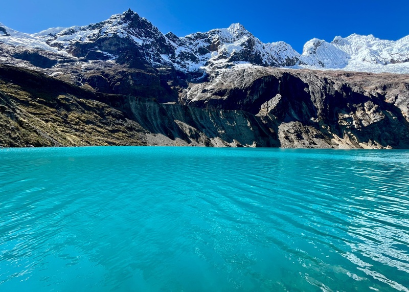
Arhuaycocha (14,500'), height of Mt. Whitney. My new altitude record! Just a 20 minute walk up from base camp at 14.2k'
Speaking of base camp, unfortunately I suddenly felt very nauseous and was sick all night, worse than I've ever been. I likely consumed some untreated water, though I was careful. I got zero sleep and finally took azithromycin at midnight. The next morning we did a little rope work practice and packed up. I was still wobbly and very dehydrated. The pack felt like 100 pounds, the sun was too bright, and I looked up at the 2000' slope to Moraine camp through squinted eyes. One step at time.
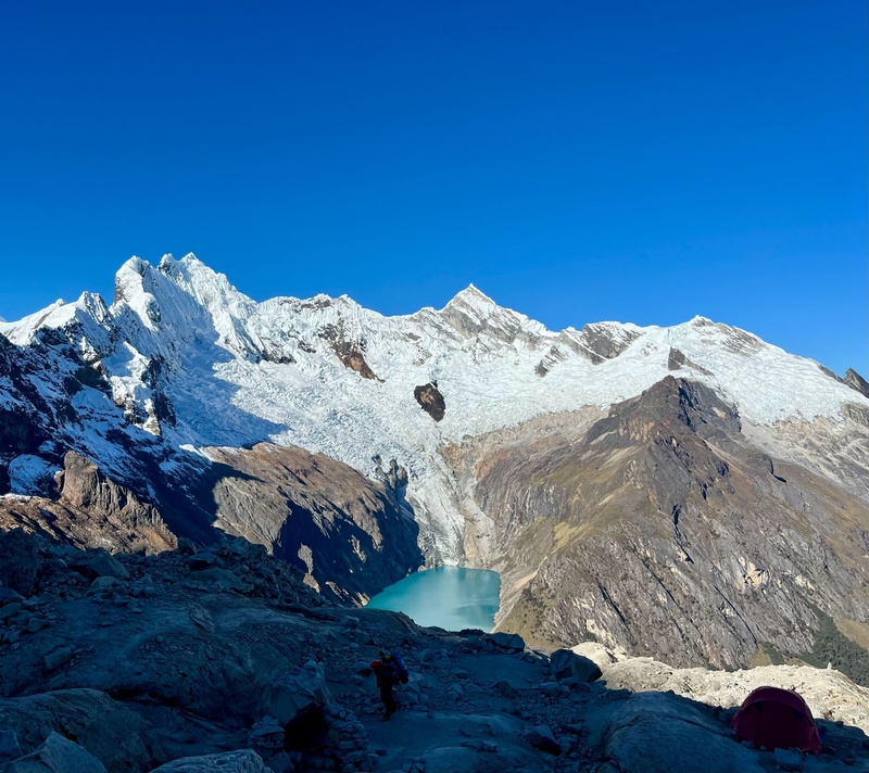
Almost to moraine camp at ~16,000'.
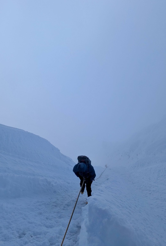
The next morning, time to crampon up! I somehow slept for 10 hours, 2000' higher than I'd ever been. Some lingering effects from being sick but it's a short trip so it's now or never.
At ~17,000'. Feeling the thin air and trying to stay hydrated.
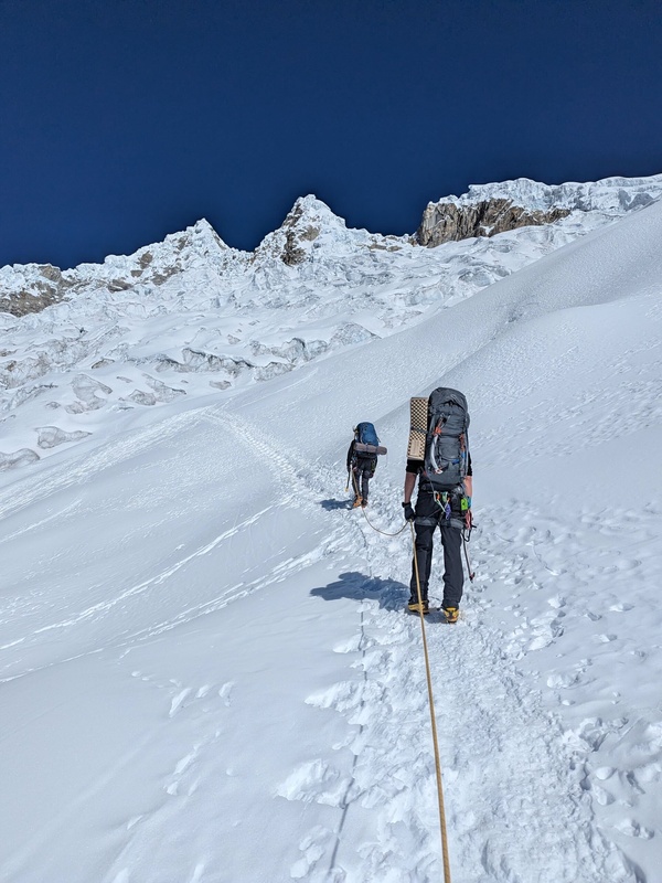
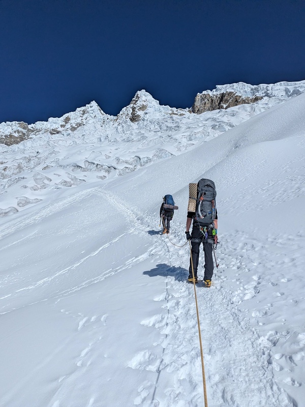
Hector (right) leads the way through the mini ice fall to high camp.
A bit of fun before high camp.
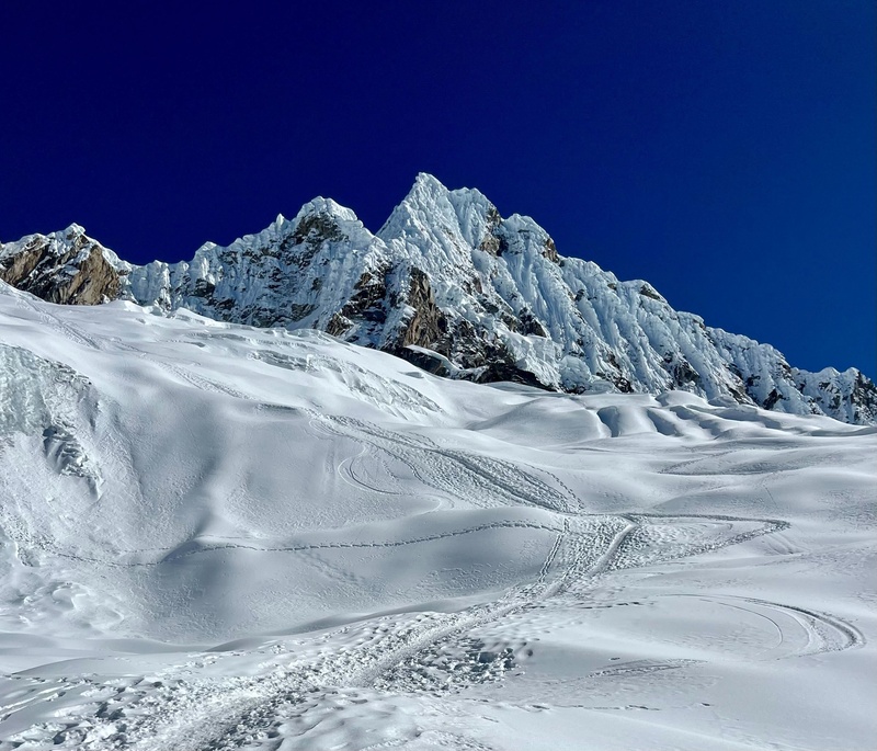
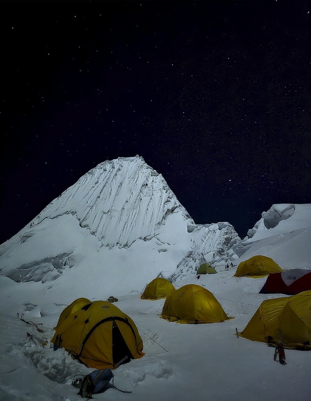
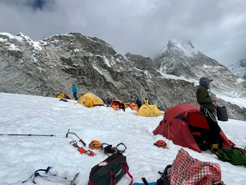
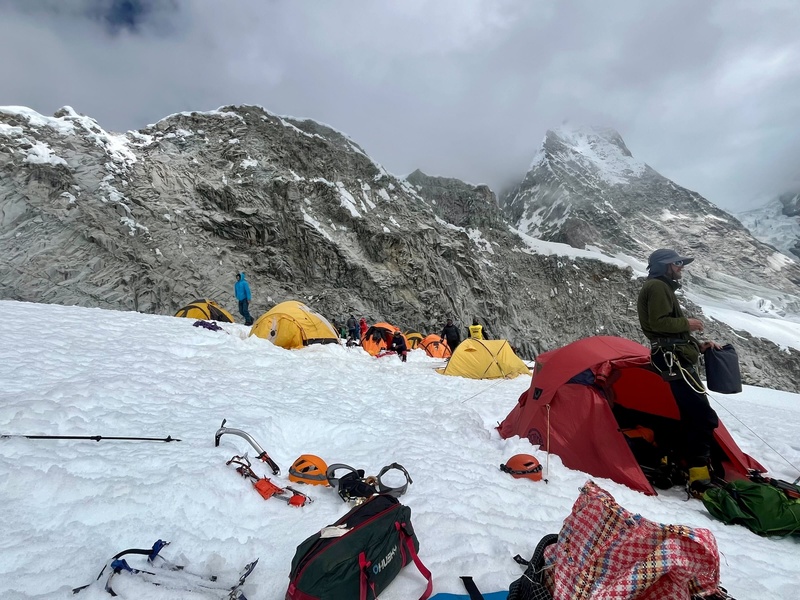
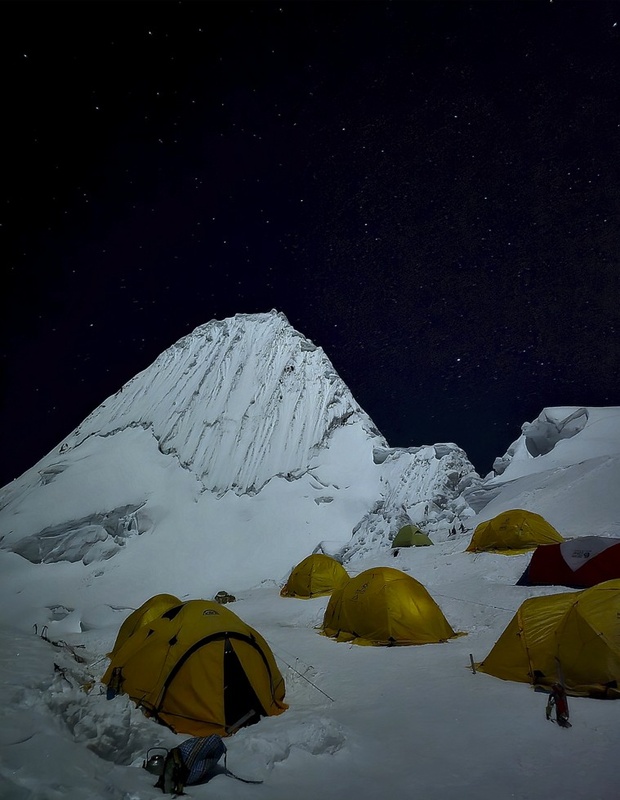
Camped at the col between Alpamayo (pictured) and Quitaraju (behind), near 18,000'.
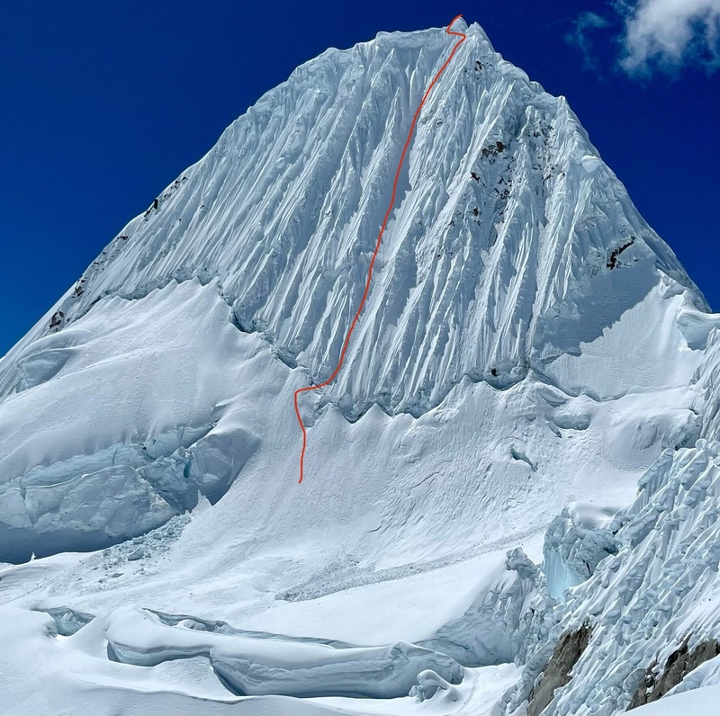
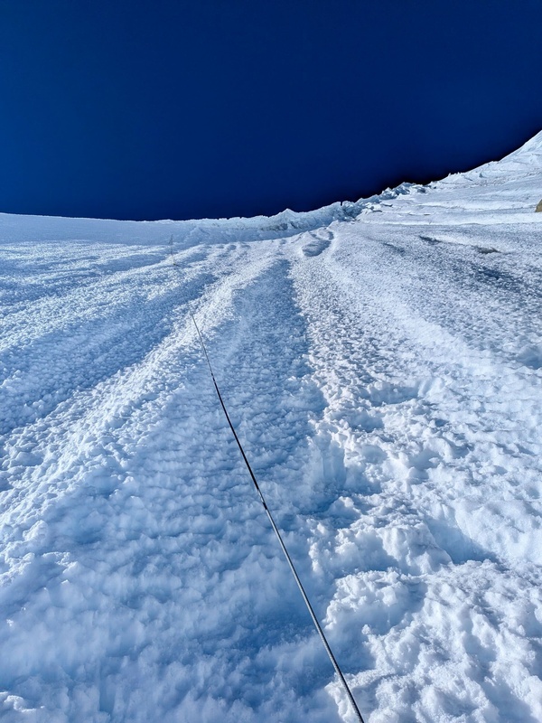
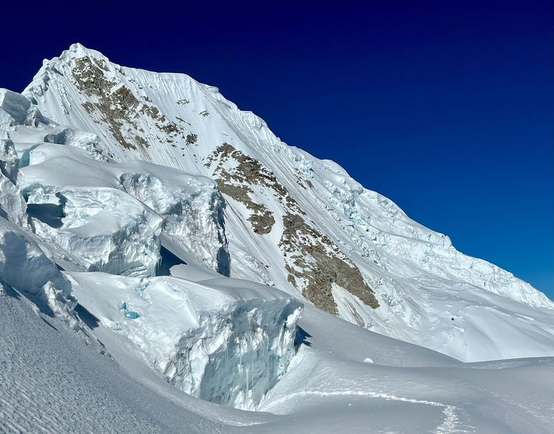
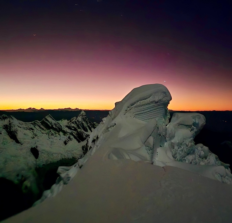
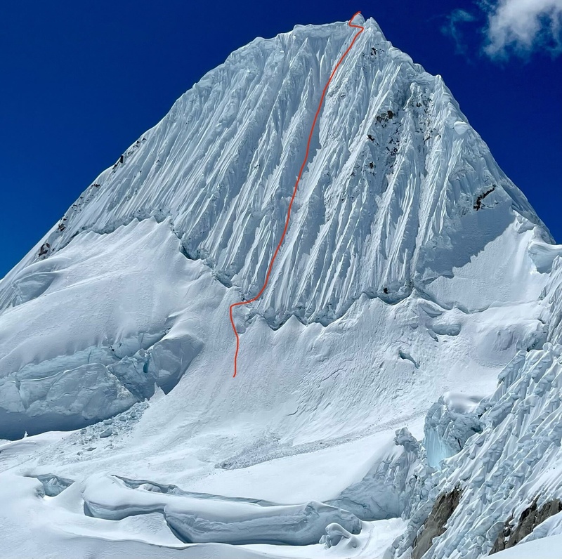
French direct route on Alpamayo. 8-9 pitches of snow and ice up to ~70°. Originally we were going to take the easier Ferrari route, however, a building-sized snow mushroom loomed above it. A moment of hilarity occurred when our guide was explaining the danger and kept calling the serac a fungus!
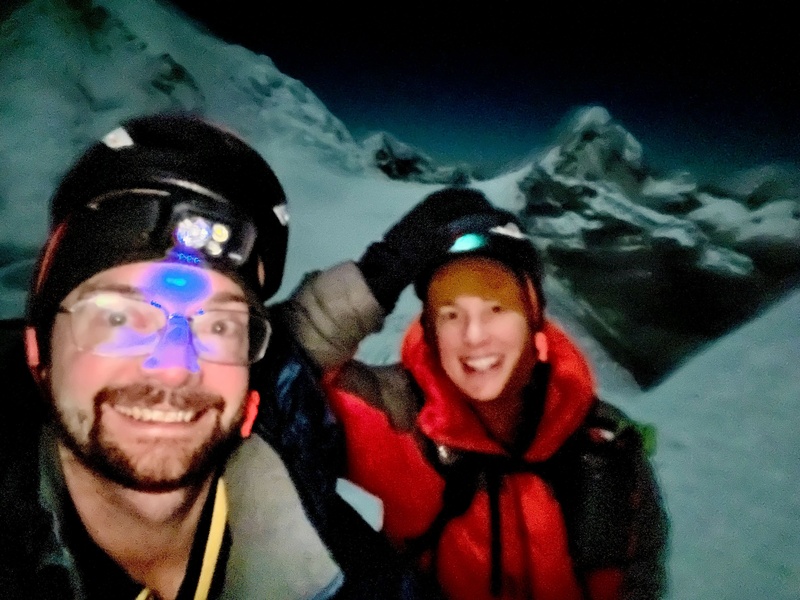
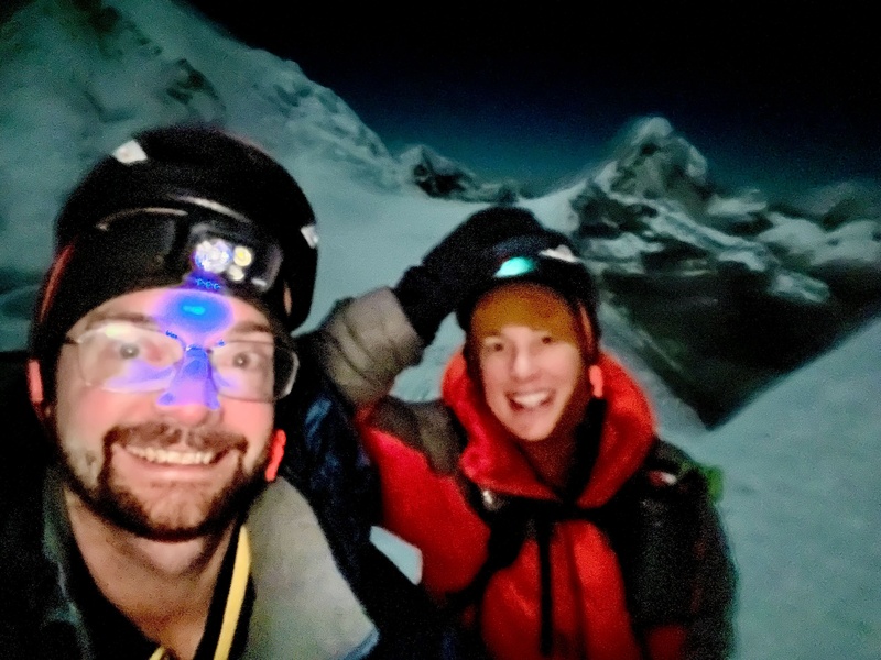
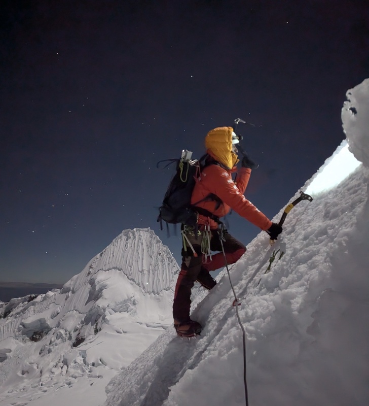
Woke up at 11pm, started at midnight. Stoke was sky high!
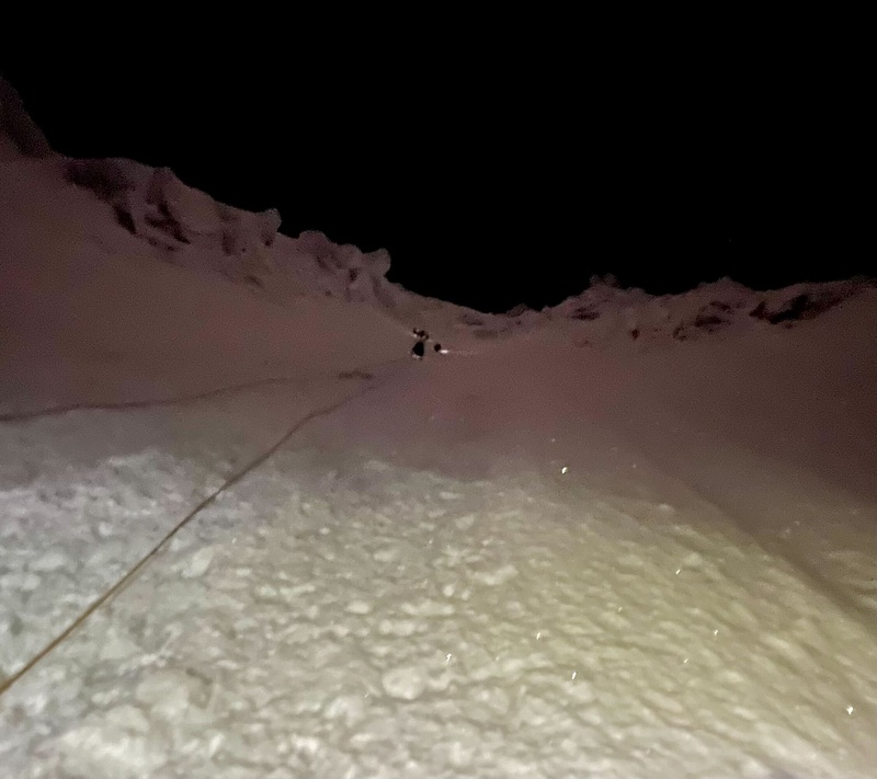
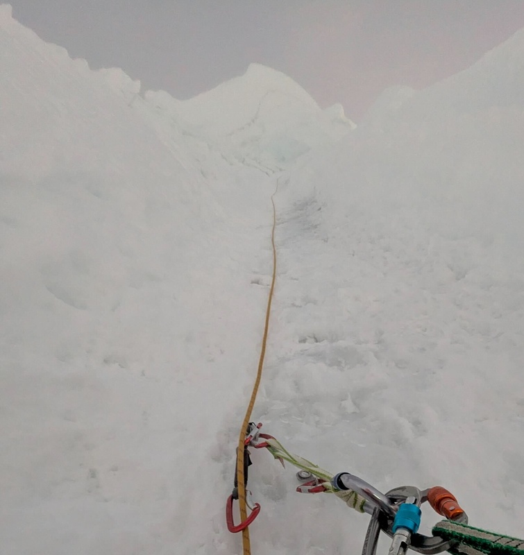
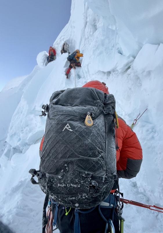
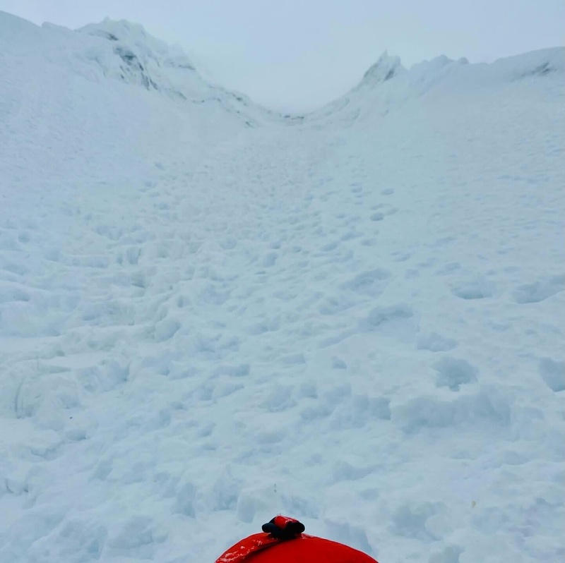
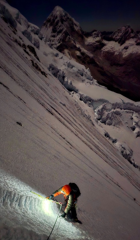
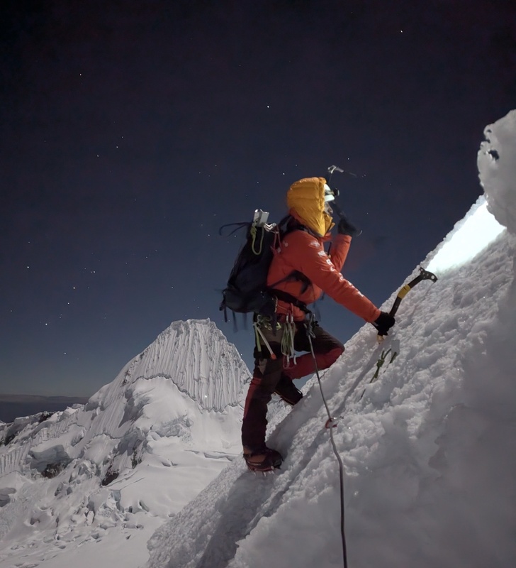
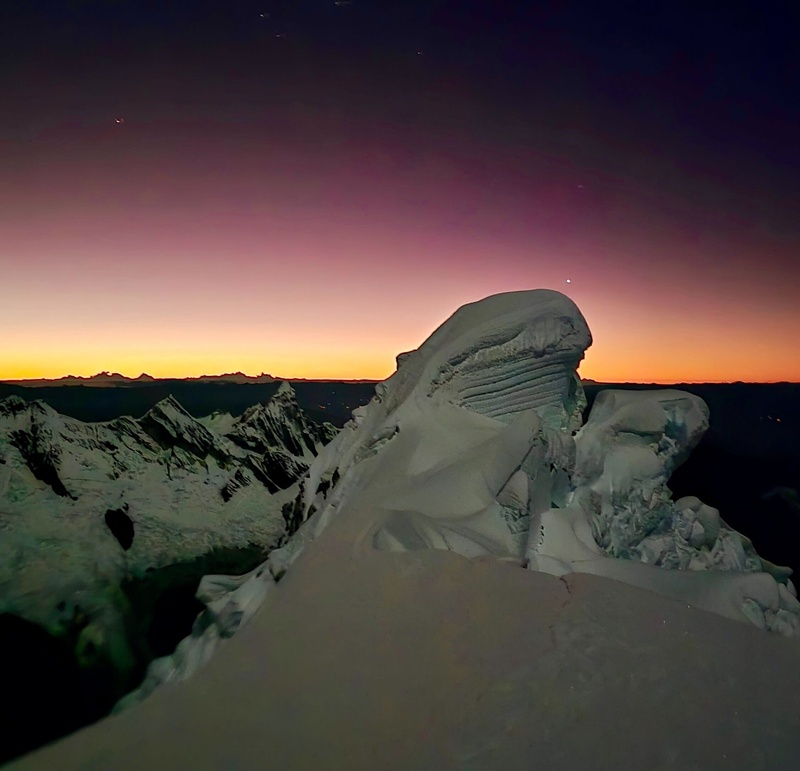
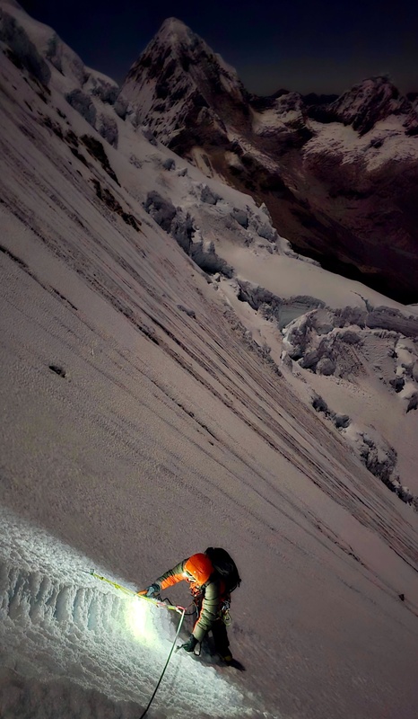
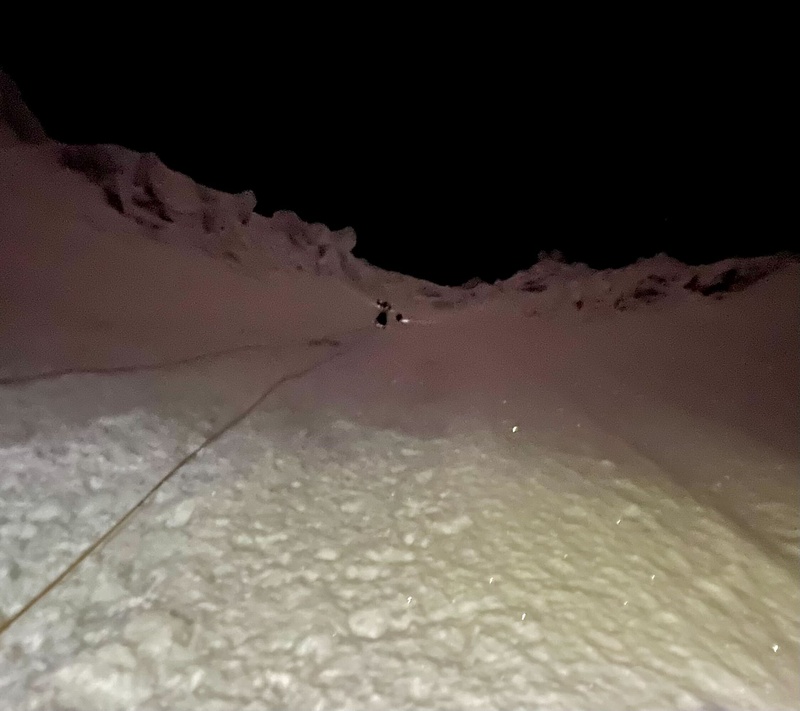
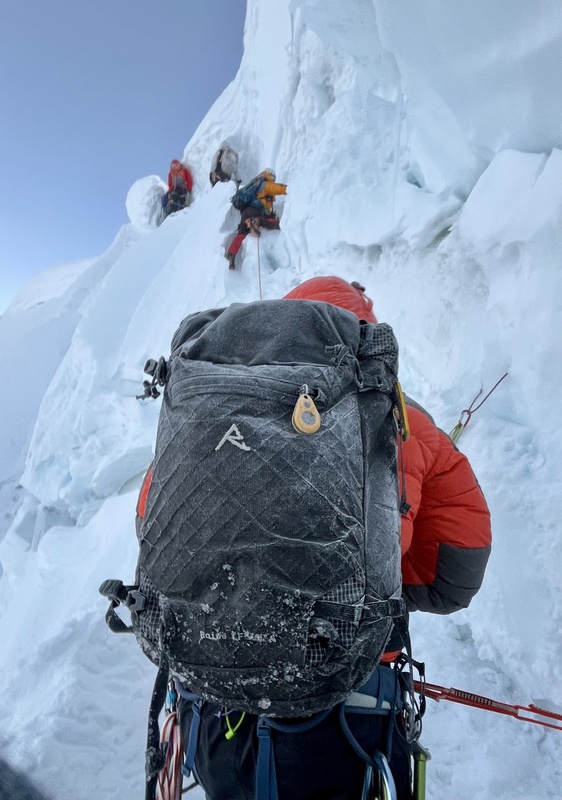
Dark was the night! (lol) A lot of long, run-out pitches. 6 parties above us, with guides all gunning for a pair of stuck ropes from the day before. Snow and ice rain was no joke, some dents in our helmets and bruises.
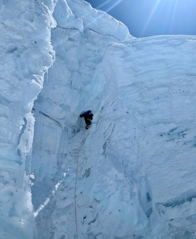
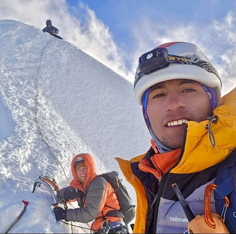
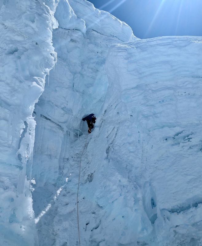
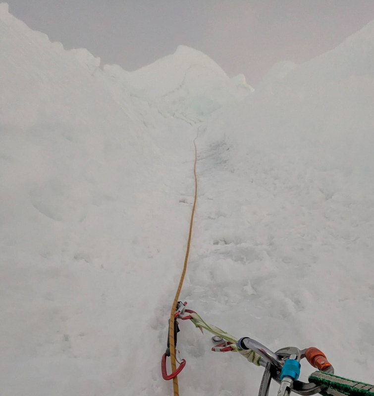
Near the crux. Actually was super fun ice, good sticks and WI 3 at most. I was the slow one.
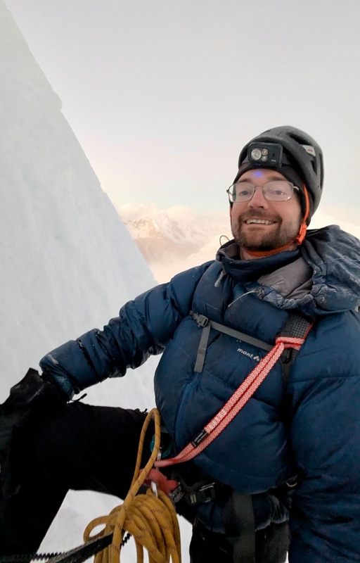
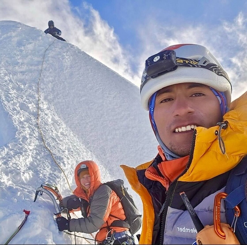
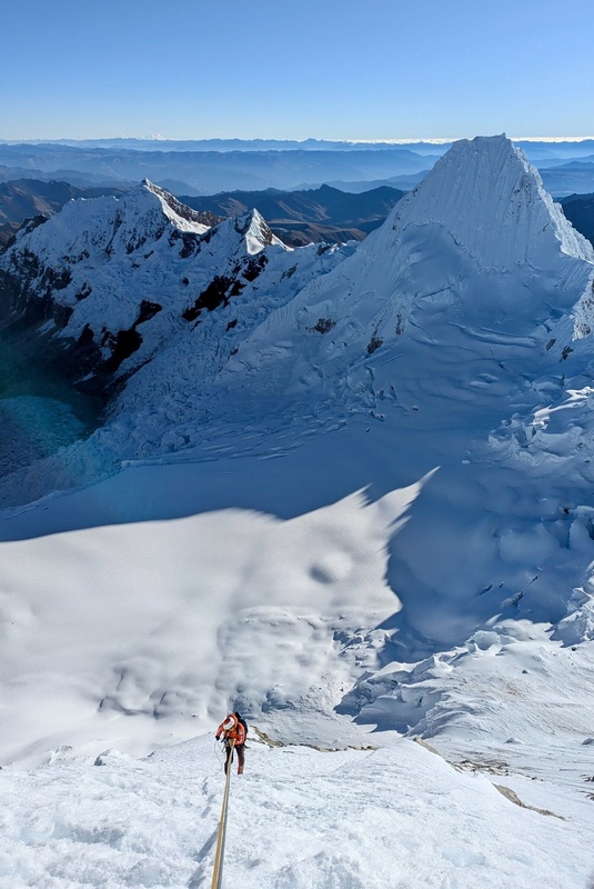
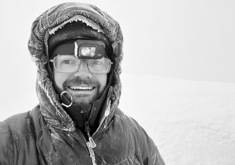
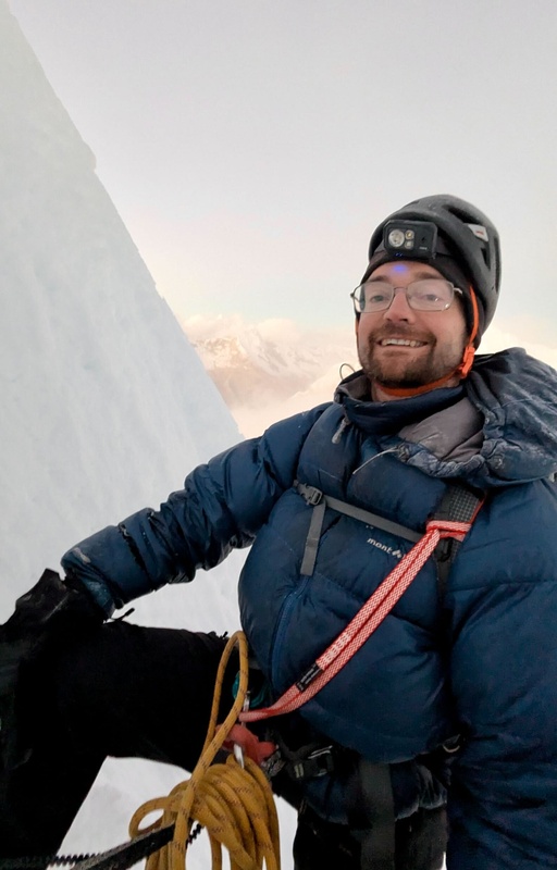
Me at 19,500'. A mile higher than ever before! One more traverse pitch to the top.
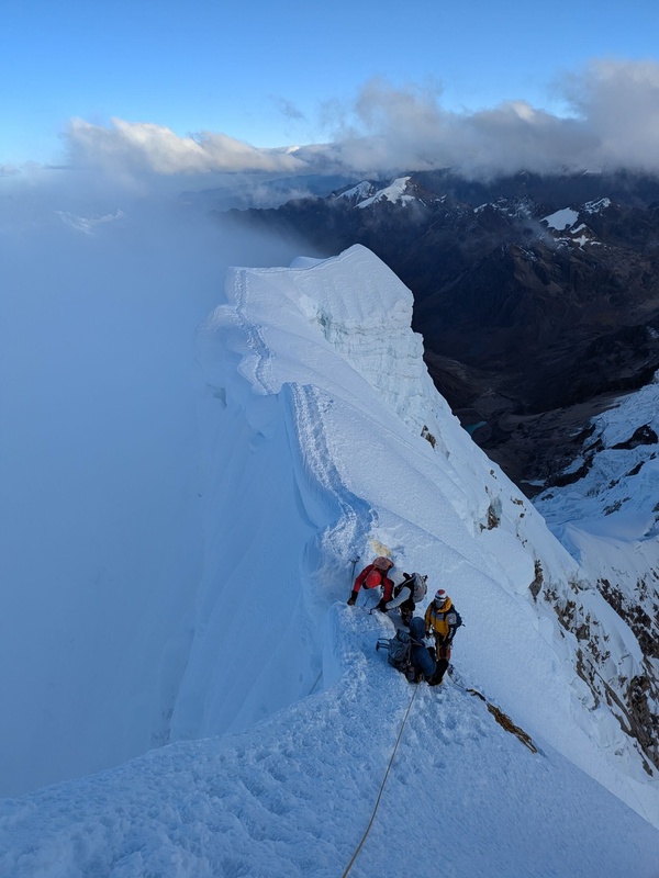
Lacey belays Hector across the sketchy snow traverse. It was kind of him to put in those snow pickets, however, I'm not sure they would have done much! Recorded 12°F here.
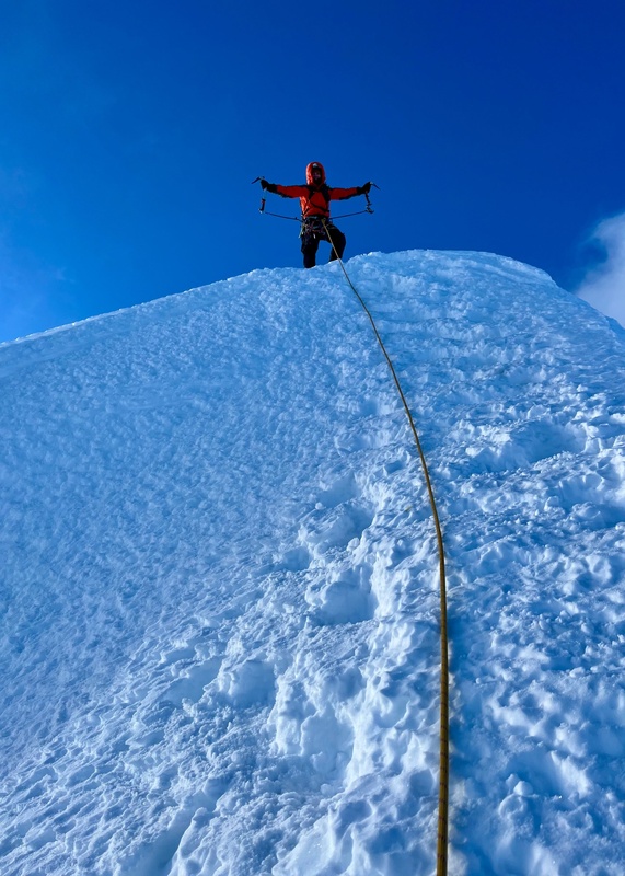
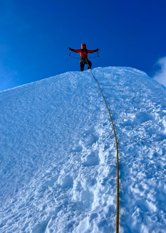
Lacey on top of Alpamayo!
Me collecting a summit snow sample, one of many. ;)
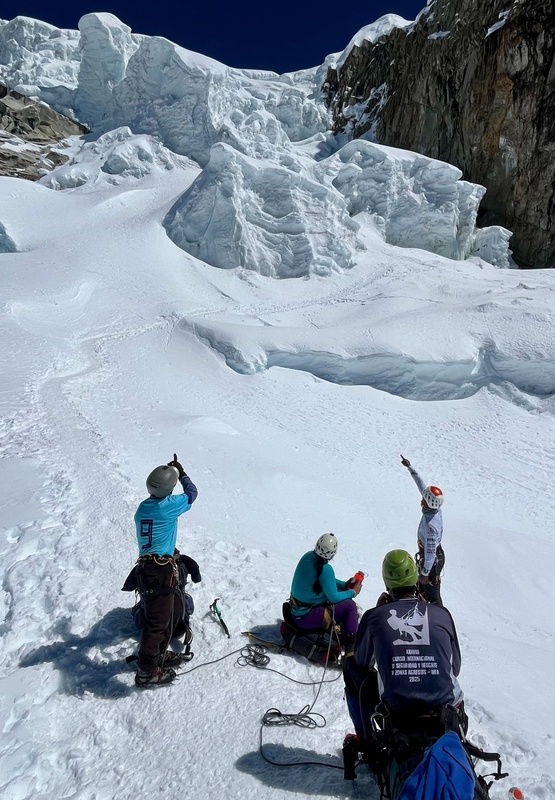
Gearing up for 8 double rope (2 x 60 m) raps off V-threads.
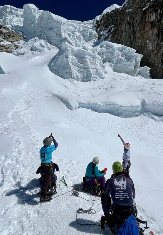
Starting down, Hector below.
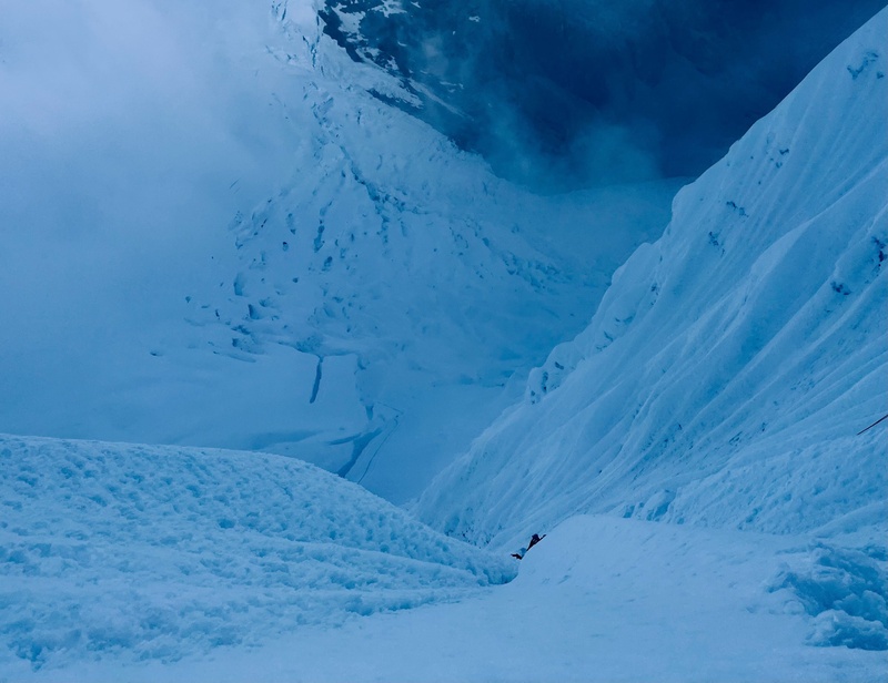
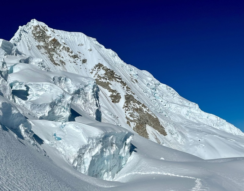
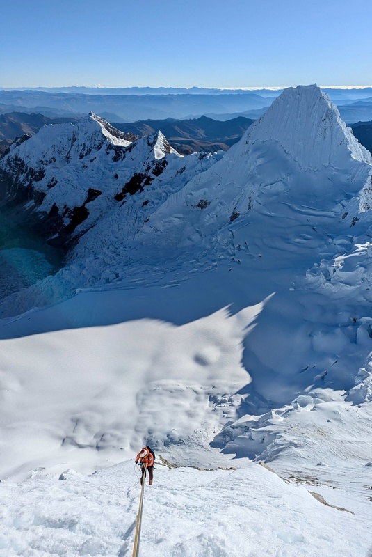
Looking back up the French Direct route.
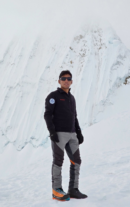
Hector is a badass and a great guide. IFMGA-certified. Let me know if you need a high-quality guide in Peru. He's climbed Alpamayo at least 20 times.
Unfortunately, I was too beat to climb Quitaraju the next day. I decided to rest but Lacey was feeling full of energy and so she and Hector woke up again around 11pm to go for it. She's a real one!
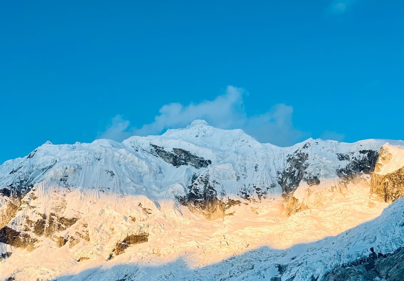
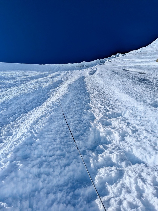
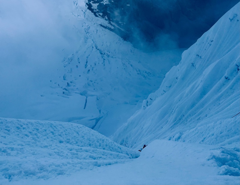
Quitaraju's beautiful, sustained ~55° face.
Up and up.
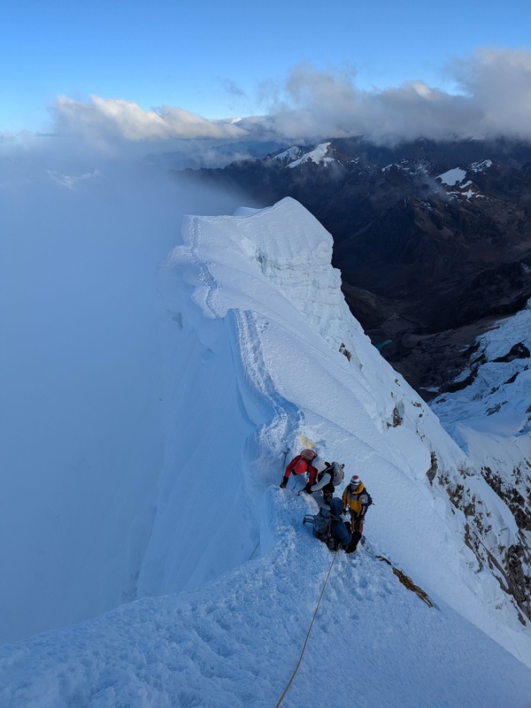
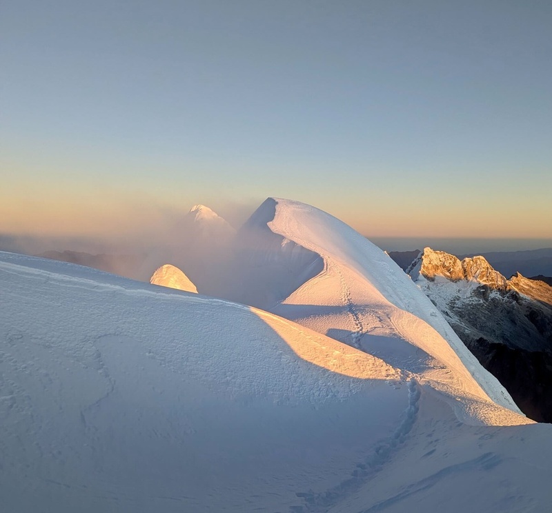
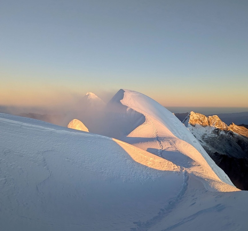
Summit ridge of Quitaraju (19,803').
10 double rope raps (2 x 60 m) or so to get back down!
I woke up at 8 am and they had already summited Quitaraju and were descending!
Lacey and Hector returned to high camp at 10:30 am. Unfortunately, she was coughing a lot and really drained. She had caught the nasty respiratory illness that was going through our team so she decided to rest and recover in Huaraz for a few days instead of going for Chopicalqui.
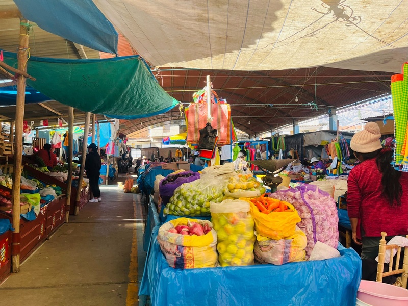
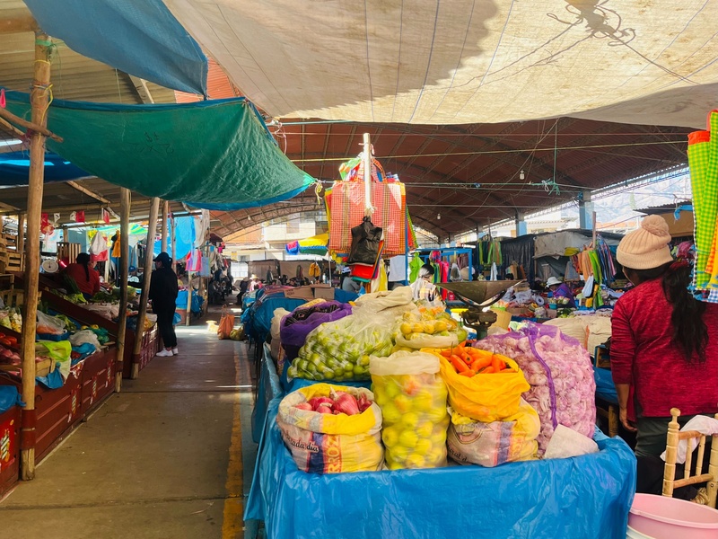
Market in Yungay, headed for Chopicalqui. In 1970 the original town and ten others were buried by a landslide from Huascarán, and ~30,000 people died.
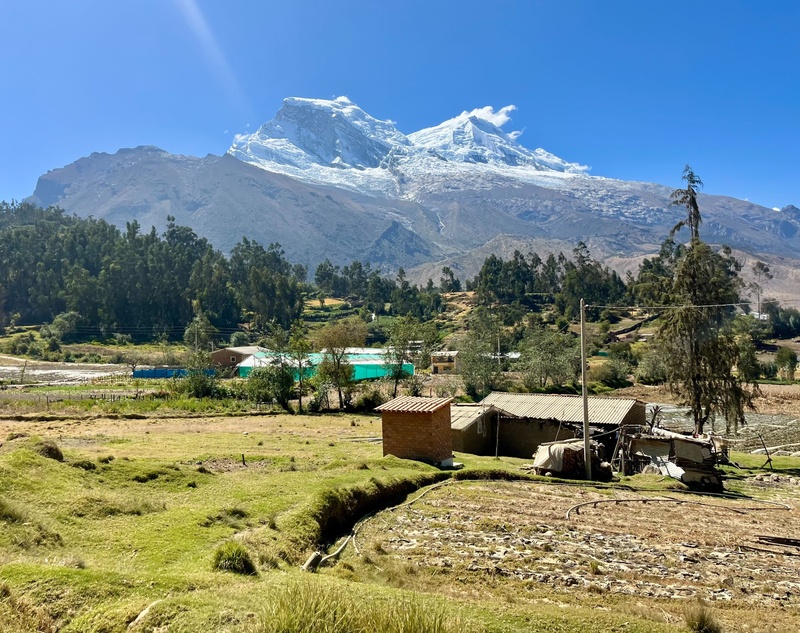
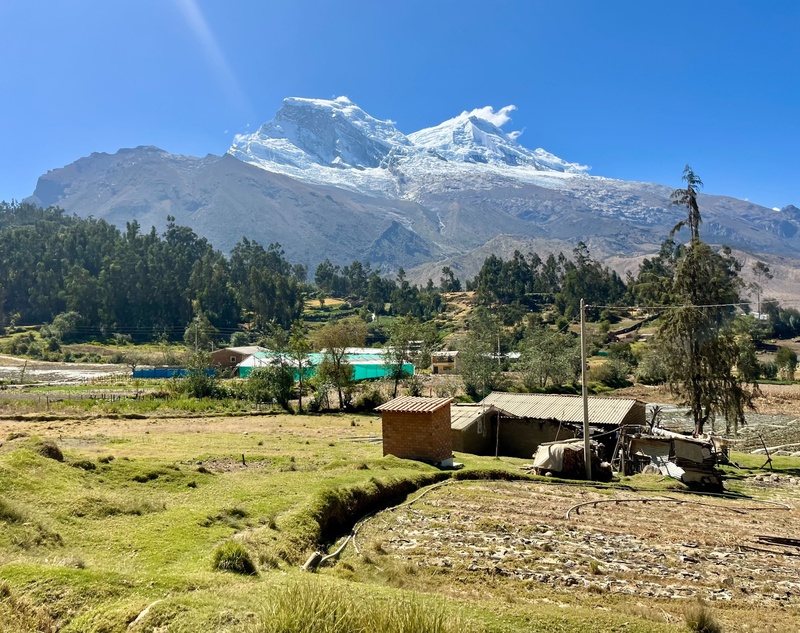
Amazing village with the Huascarán massif behind it.
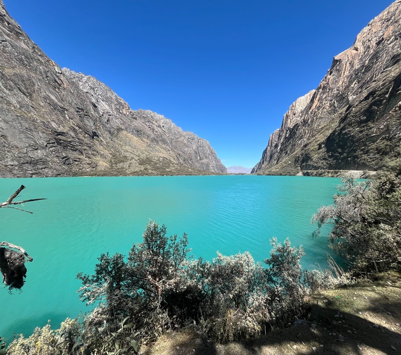
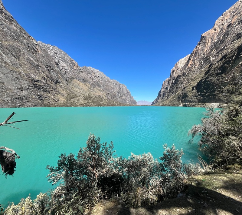
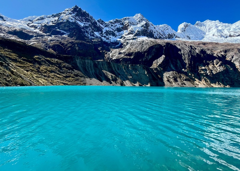
Called female or male lake, can't remember which one, haha
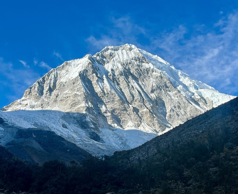
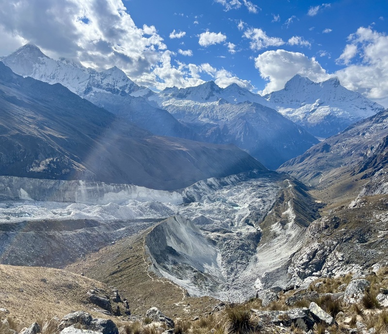
Huascarán Sur. Apparently not really climbed from this side.
Oh yeah.
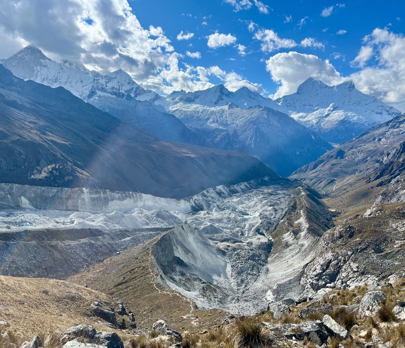
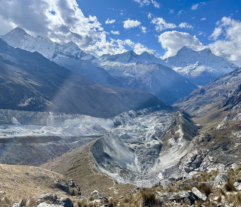
Looking back down from near Moraine camp at ~15,800'. Rock glaciers down there. Unfortunately, Hector was now sick and was having a hard time breathing. He was stopped to sit down and rest every ~20 steps, so I would wait to keep him in sight. When we reached moraine camp he said he didn't think he could go tomorrow. I understood and wanted him to make the right choice for his health. However, the next morning he felt much better and wanted to go for it so we set off for high camp with Roger and Walter.
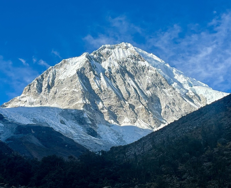
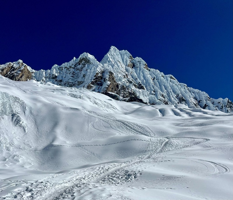
Chopicalqui from moraine camp. Right skyline is standard ridge route.
Chopicalqui high camp (~18k'). Feeling strong finally, acclimated and over sickness. I never really got the respiratory illness bad, and Lacey suggested maybe the Z-pack helped with it. Could be. Woke up at midnight and climbed in the dark, through a white out with 5 or so other parties behind us.
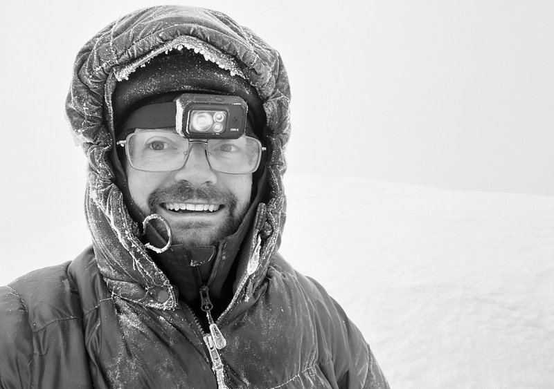
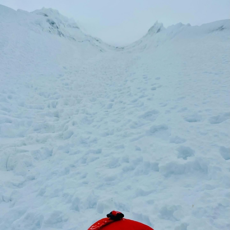
Joy at 20,846'. Four pitches of easy snow and ice above 20,000' (~50 degrees or so) and we reached the summit around 6:30 am in a white out. Visibility ~50' and dropping. Bummer, I was hoping for the views! Oh well, c'est la vie.
Three other parties already started rappelling but Hector belayed me and down climbed, then the race was on! We rappelled ahead of everyone and got down below the technical difficulties. Visibility dropped to less than 20'. Hector was coughing again but still moving well. We lost and found the 'route' a few times, did one more rappel, and I jumped a crevasse (on rope). Then we crested the ridge and the clouds parted. The sun hit us and we saw high camp. Hector let out a loud whoop and we cruised back down the snow to the tents. We ate then packed up and headed back to Moraine camp. Once there we rested a bit and kept going to base camp, a descent of over 7000' for the day! Back at base camp both Hector and I were coughing a lot in the tent and it poured rain. Our porters kindly gave me a hunk of steak, which was incredibly difficult to chew. I got through about half of it in 45 minutes. Those cows put in work! I felt bad not finishing it so I hid it in my trash bag in my pack and threw it out when I got back to Huaraz.
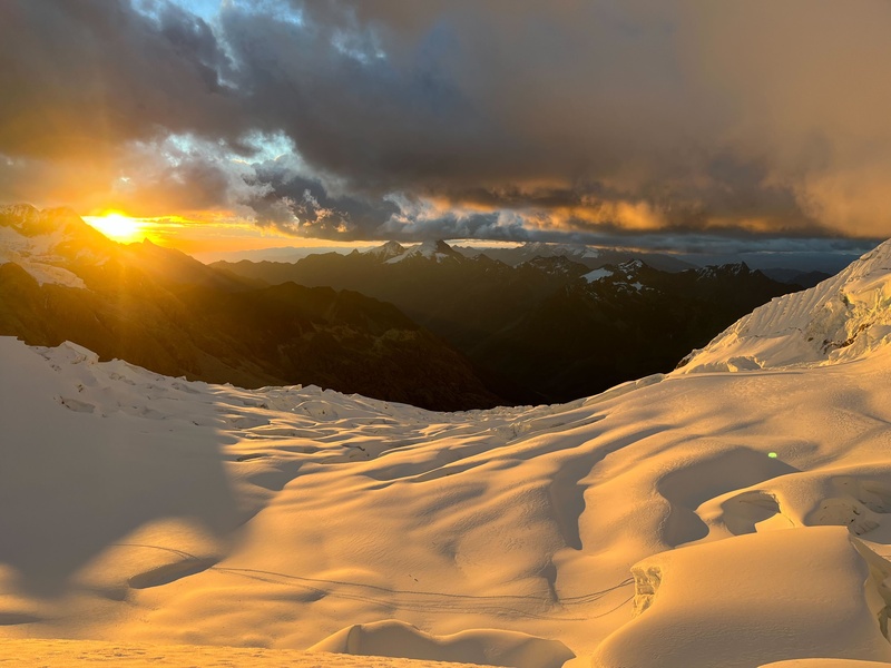
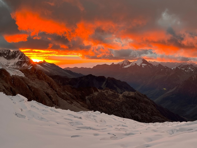
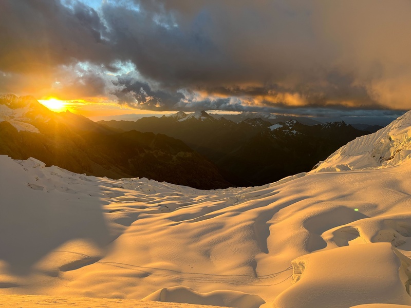
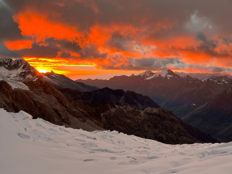
View from Chopicalqui base camp. I am ready to go back. Two weeks barely scratched the surface! Climb on! -Rob
Thumbnails for uploaded photos (click to open slideshow):
Thanks for sharing! In a different life I make annual trips alternating to Alaska or Latin America to climb big mountains, and Alpamayo is at the top of the list. For now I settle for reading every TR I can find of them.
Eddie: Appreciate it! Yes, it was a special trip. Such a stark contrast between the dry approach and glaciers above.
Tim: Cheers! That would be a great way to keep climbing high peaks without expensive permits.
Steve: Cool! What did you climb down there? Yes, it was an amazing adventure for sure! Really want to go back.
Caution: The information contained in this report may not be accurate and should not be the only resource used in preparation for your climb. Failure to have the necessary experience, physical conditioning, supplies or equipment can result in injury or death. 14ers.com and the author(s) of this report provide no warranties, either express or implied, that the information provided is accurate or reliable. By using the information provided, you agree to indemnify and hold harmless 14ers.com and the report author(s) with respect to any claims and demands against them, including any attorney fees and expenses. Please read the 14ers.com Safety and Disclaimer pages for more information.
Please respect private property: 14ers.com supports the rights of private landowners to determine how and by whom their land will be used. In Colorado, it is your responsibility to determine if land is private and to obtain the appropriate permission before entering the property.