Most people hike Conejos Peak from the south or southeast, where the roundtrip is a much shorter hike. It's quite a long drive on backcountry gravel roads just to reach Platoro reservoir, so I felt less inclined to drive another hour or so from there around to the south of the peak. Instead, I continued west along the lakeshore, to where the road ends at the Three Forks Trailhead. Stretching my legs and getting my gear together, I heard Elmer Fudd's voice in my head "I'm hunting wabbits" ("conejo" is Spanish for rabbit).
This far south part of the state feels remote and I was surprised to find several cars at the trailhead. I launched down the trail, eager to be moving after the long drive from Denver, with fresh energy as this was the first day of a week-long sojourn throughout various sub-ranges of the San Juans. With only a slight breeze and the full sun of a summer afternoon, I sweated beneath my sun hat.
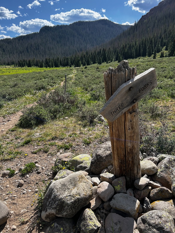
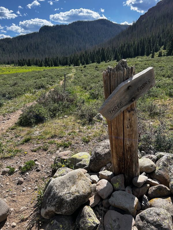
I reached one of the most dilapidated trail signs I have encountered. The three forks are the North Fork, Middle Fork, and South Fork of the Conejos river. To reach Conejos Peak, you want the South Fork, also known as "El Rio Azul."
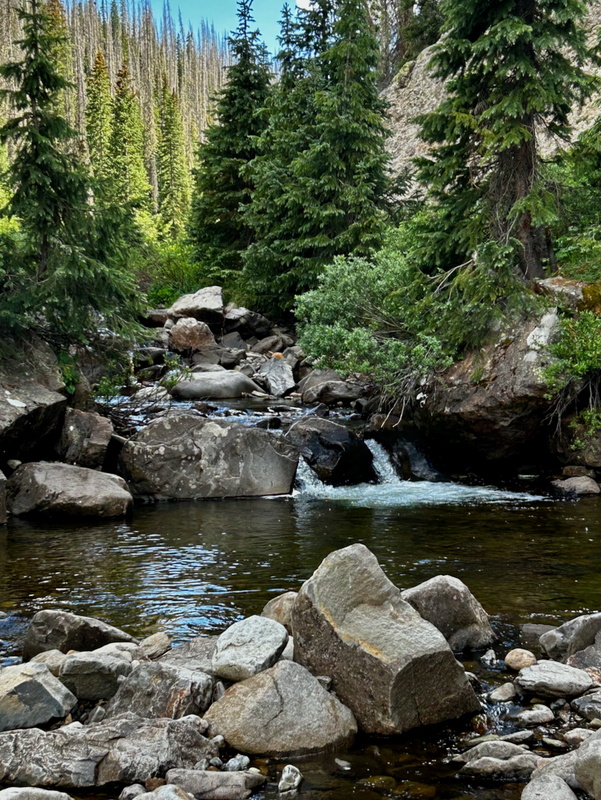
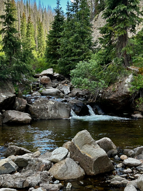
About twenty minutes after the Three Forks sign, I reached the trees and a beautiful pool of El Rio Azul. Large stones facilitated the creek crossing.
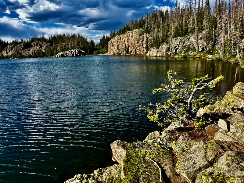
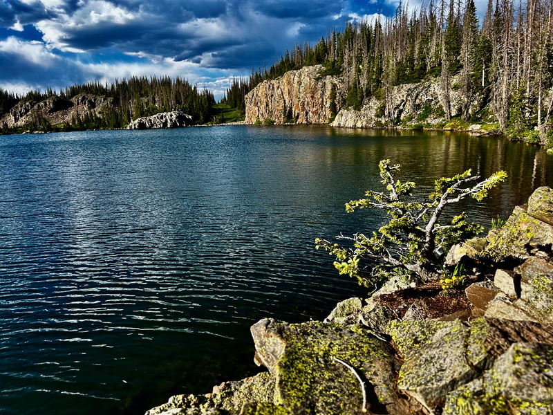
From here, the trail climbed more steeply than the previous westward section, but the grade never got that steep, and the trail was in excellent condition. It was a beautiful afternoon and I moved at a steady pace, eager to be in this small region of Colorado I'd not visited before. Shortly before you reach Blue Lake (it should be Lago Azul to keep with Rio Azul), the trail makes a weird junction. After it doubled back and I felt that I was returning too far back to the north, I retraced my steps to junction and quickly found myself at the eastern shore of the lake. I imagine the trail I had ventured onto would have taken me to the nothern shore.
This lake reminded me of Slate Lake in the Gores, because the shoreline consisted of a rocky bench several feet above the surface. Trees and flowers grew from cracks in the rock; below is a view looking north.
To my surprise, I found a lone gentlemen in his late 20s camped by the lake. He had packed in, and had visited Glacier Lake earlier in the day. I bid him a good night, and headed that way myself.
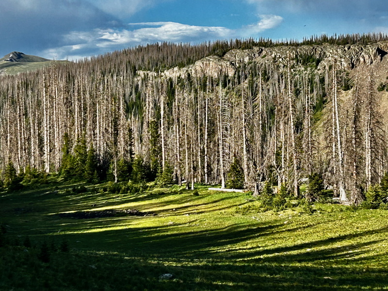
After I rejoined the strong trail as it curled eastward from the lake, I was struck by the folded rocky escarpment that protruded from among the trees.
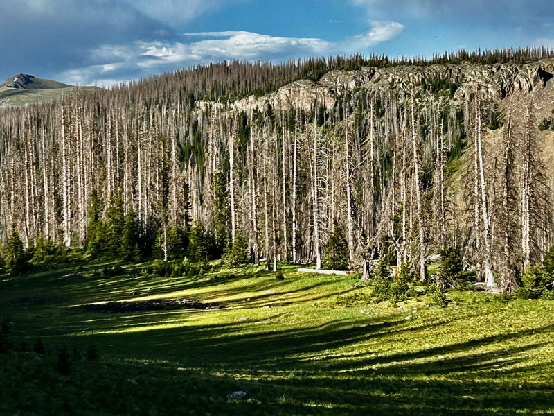
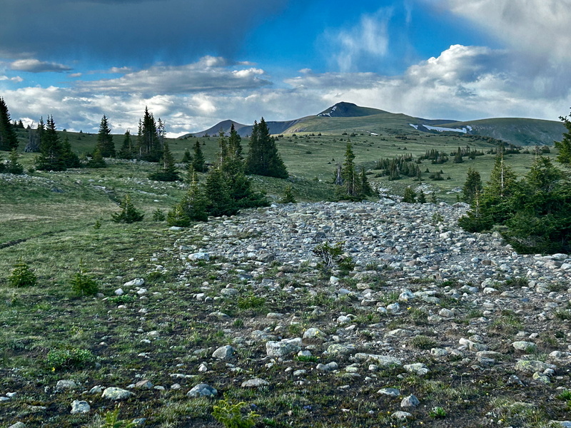
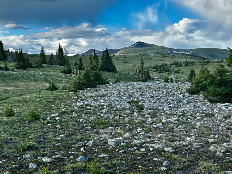
The trail made a gentle climb to the south of this feature, and I encountered my second fellow human for the day, a young woman approaching from the opposite direction. I was surprised, as this portion of trail is not part of either the CDT or CT. After passing her, the terrain opened up to a vast alpine meadow, with the way clear to Conejos Peak. To the naked eye, it was unclear if the peak right of center or the peak to the left was Conejos, but the handy map app confirmed it was the one right of center and closer. (Yay.)
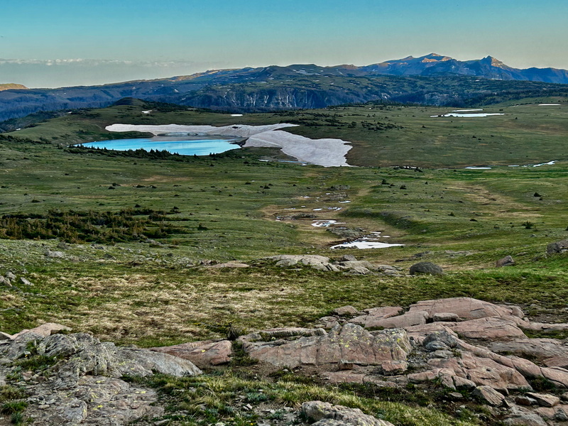
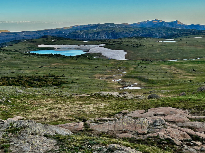
As I continued eastward, I found a good spot to gaze southward to take in Glacier Lake and the peaks lying far beyond it, perhaps in New Mexico.
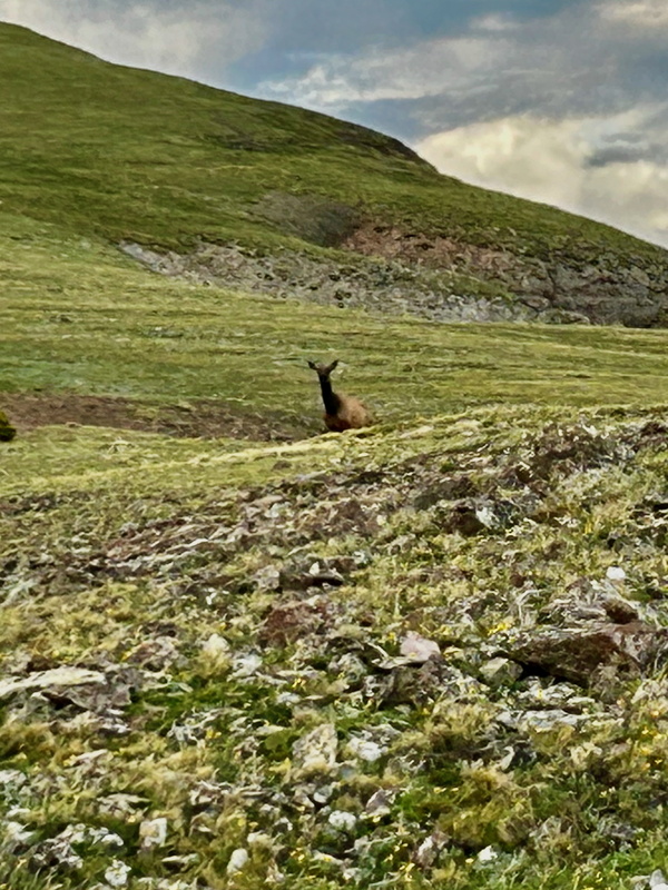
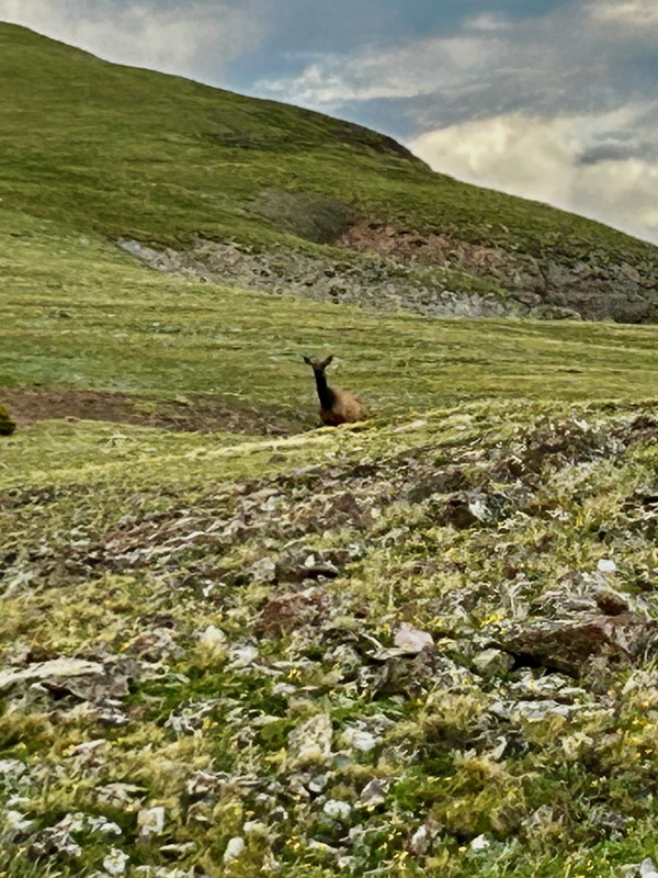
Moving onward steadily, as the afternoon shadows were lengthening into evening, I enjoyed the calls of the elk from the ridge to the north and ahead of me. One fellow was curious and sauntered about upslope from me.
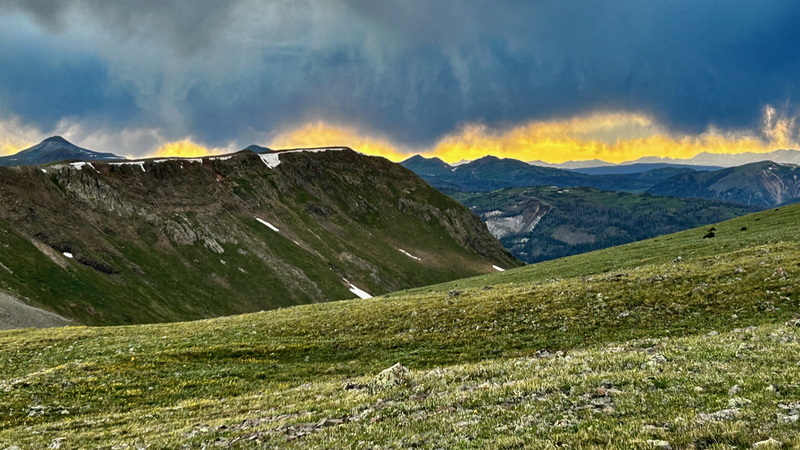
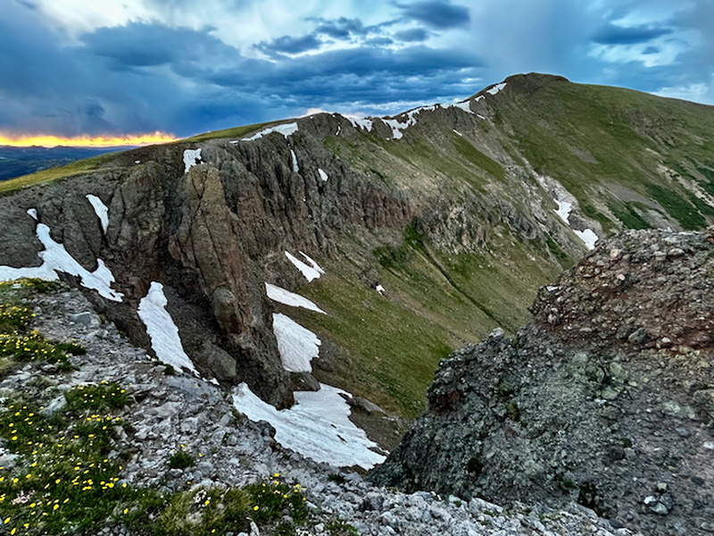
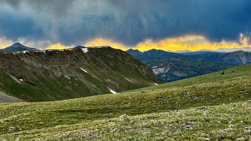
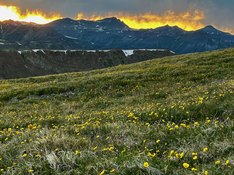
I dubbed this segment of my journey the Camino del Oro, because the last leg to the summit coincided with golden sunset. I enjoyed a magnificent display to the northwest, where the yellow glare of the setting sun contrasted with dark storm clouds. The indistinct dark shapes in the grass at far right are resting elk.
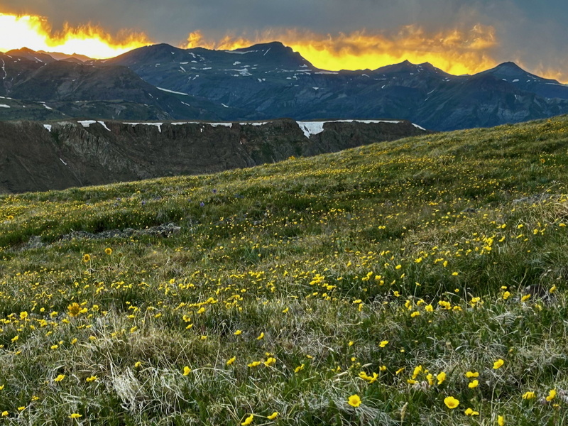
Further enhancing the experience for me were the alpine flowers blooming all about my feet - yellow above and yellow below. My iPhone could not begin to capture the experience.
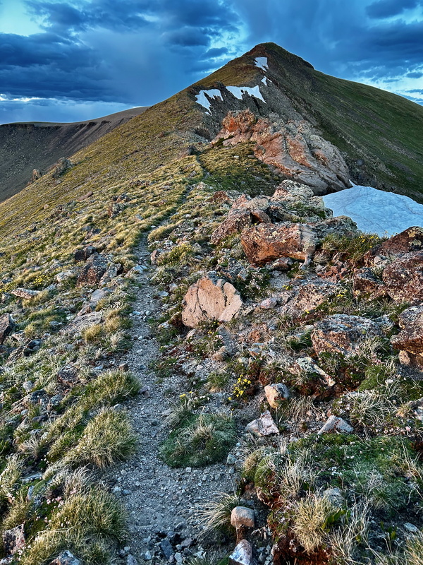
The clouds threatened, but stayed to the north, as I found myself on the crest of a ridge, with the final push to the summit laid out before me.
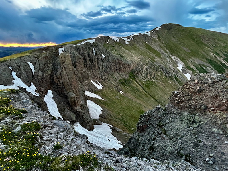
Making haste to reach the summit before nightfall, I felt a serene joy to literally walk in a sunset. When I walked alongside the outcrop in the view below, the sun cast my shadow on the rock, and I don't know why, but something felt magical in that moment.
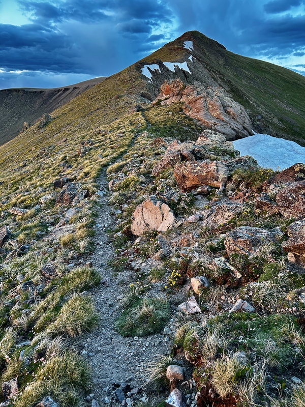
My stay on the summit was brief, ephemeral as the last rays of sunlight. Wishing to shave mileage on the return, I left the trail to trek in a more direct line across the tundra and thence to rejoin the trail further down. This endeavor was understandably slowed where the terrain steepened and I had to rely on my headlight in the dark, but I navigated well enough. It would be an afterthought with daylight.
Returning to the car to sleep at the trailhead, I felt happy to have enjoyed a beautiful afternoon and evening on this first hike of a July week to be spent throughout the San Juans. The next day would take me to Summit, Montezuma, and "Unicorn," before driving northward to finish out the La Garita 13ers around Creede.