Download Agreement, Release, and Acknowledgement of Risk:
You (the person requesting this file download) fully understand mountain climbing ("Activity") involves risks and dangers of serious bodily injury, including permanent disability, paralysis, and death ("Risks") and you fully accept and assume all such risks and all responsibility for losses, costs, and damages you incur as a result of your participation in this Activity.
You acknowledge that information in the file you have chosen to download may not be accurate and may contain errors. You agree to assume all risks when using this information and agree to release and discharge 14ers.com, 14ers Inc. and the author(s) of such information (collectively, the "Released Parties").
You hereby discharge the Released Parties from all damages, actions, claims and liabilities of any nature, specifically including, but not limited to, damages, actions, claims and liabilities arising from or related to the negligence of the Released Parties. You further agree to indemnify, hold harmless and defend 14ers.com, 14ers Inc. and each of the other Released Parties from and against any loss, damage, liability and expense, including costs and attorney fees, incurred by 14ers.com, 14ers Inc. or any of the other Released Parties as a result of you using information provided on the 14ers.com or 14ers Inc. websites.
You have read this agreement, fully understand its terms and intend it to be a complete and unconditional release of all liability to the greatest extent allowed by law and agree that if any portion of this agreement is held to be invalid the balance, notwithstanding, shall continue in full force and effect.
By clicking "OK" you agree to these terms. If you DO NOT agree, click "Cancel"...
I'm not sure there's any trip reports on this ridge, so I hope this is helpful. It's a really good route.
I had been thinking about climbing these peaks for the better part of a month but work and weather kept getting in the way. Finally, a nice forecast and a day off aligned, so I got my chance and headed to Leadville. As a bonus, I lucked out finding a highly coveted Melanzana appointment and this got my girlfriend (TalusCat) to join the trip as well. We stayed the night at the Rodeway Inn which for once had a good rate. Most times I just sleep at the trailhead or drive from home at 3 in the morning so the Rodeway was a nice luxury.
Day of Climb: Thursdsy October 30th 2025
Peaks: Mt Hope and Quail Mountain
Trailhead: Sheep Gulch
Mileage and Elevation Gain: Approximately 8.3 miles and 4,868 feet of gain.
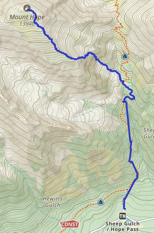
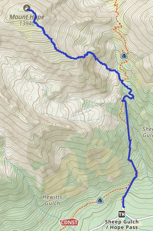
Gaia track to Hope. Unfortunately, it stopped tracking after this.
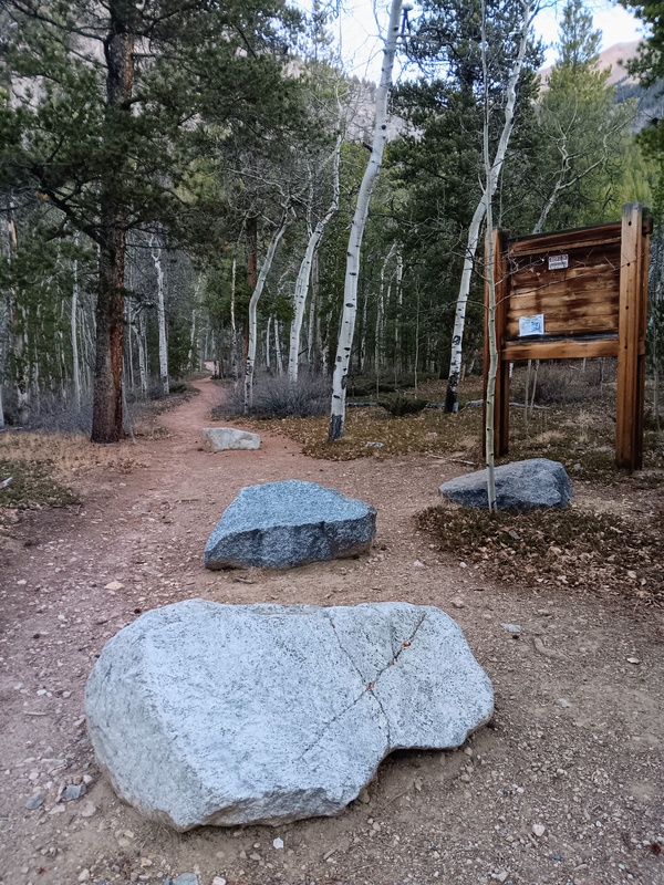
After a wonderful night's sleep we made the 45 minute drive to the Sheep Gulch trailhead. My girlfriend dropped me off and headed back to Leadville for the day while I started up the nice trail towards Hope Pass.
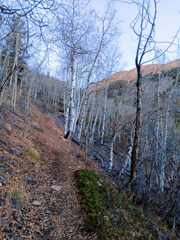
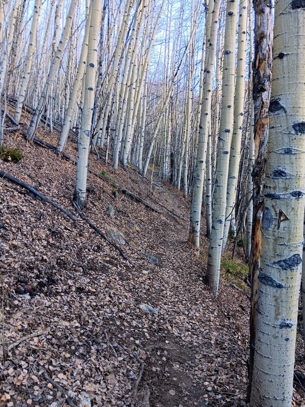
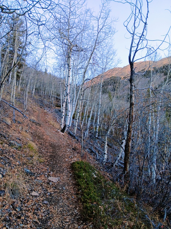
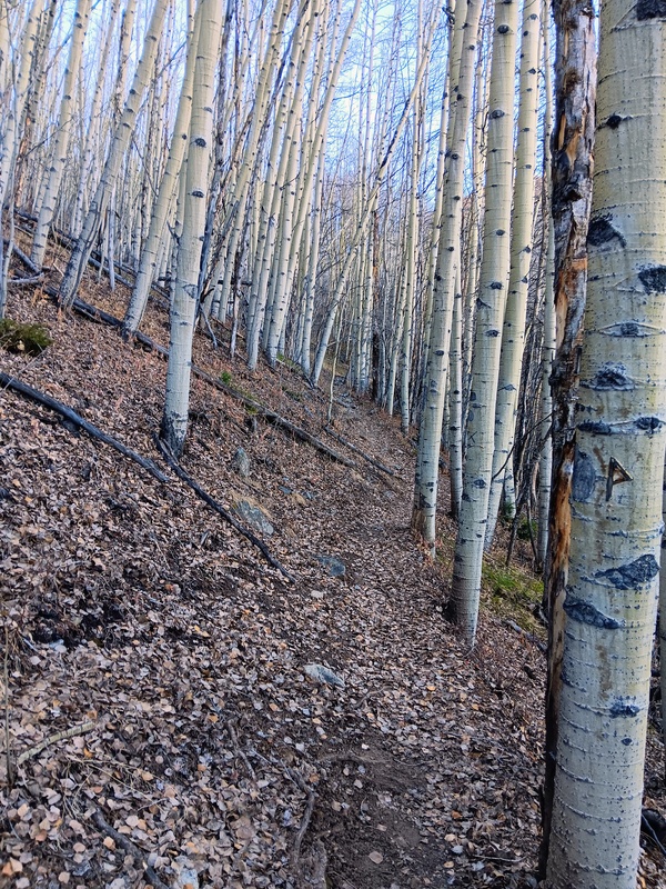
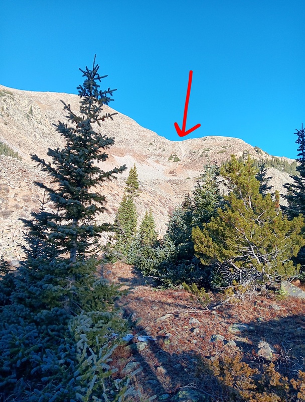
There was a short flat section initially as the trail meandered through a nice forest. It then got steep quick and remained that way for the duration of my short time on the trail. At about the 1.5 mile mark I left the trail and headed northwest towards Hopes Southeast ridge. This was right at the 11,600 foot contour line.
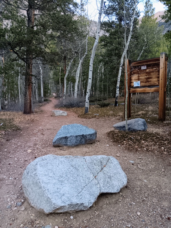
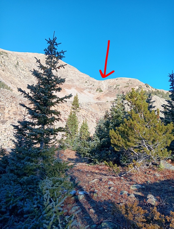
Sheep Gulch trailhead.Starts getting steep.Lots of aspens.I left the trail here and headed towards the small gully marked by the red arrow.
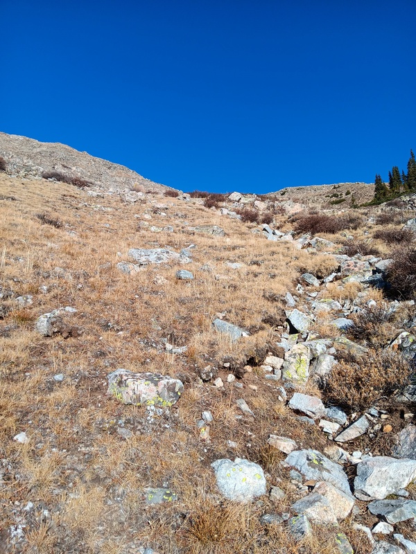
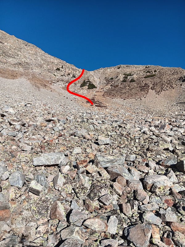
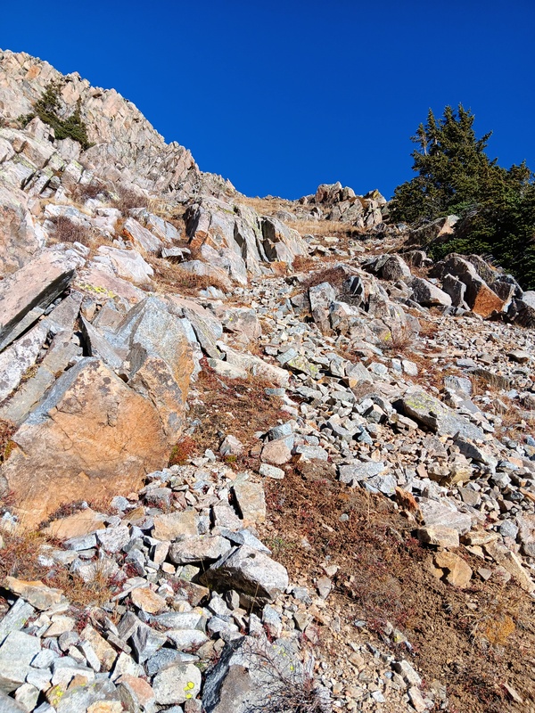
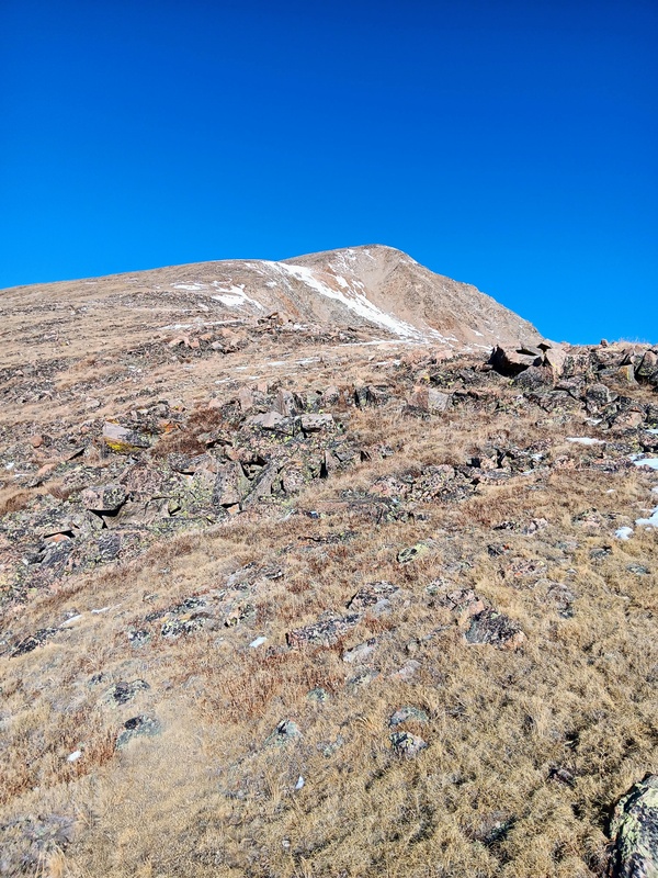
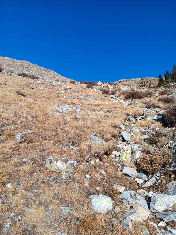
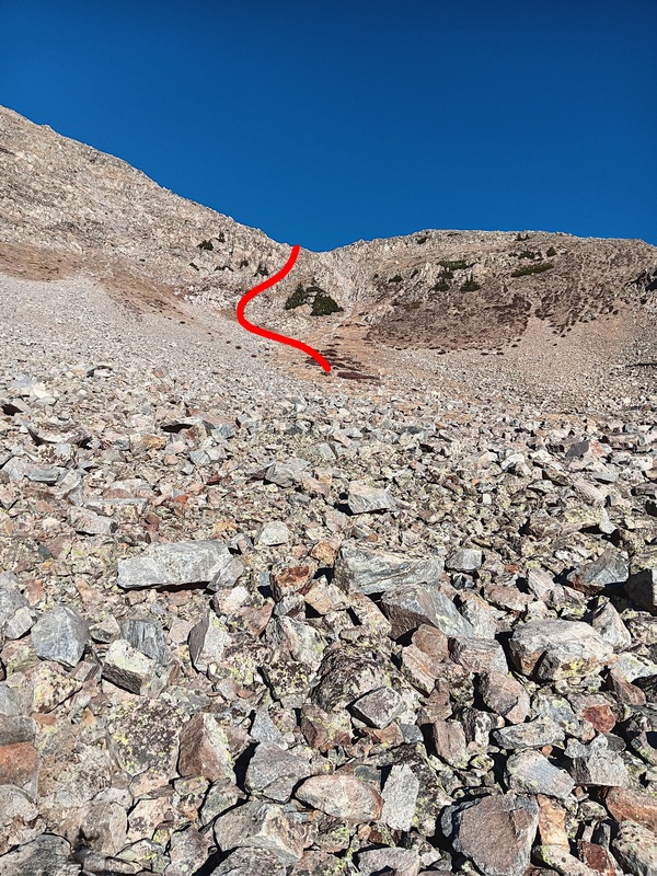
After leaving the trees I hiked over a rock river then up a grassy slope which abruptly turned into talus. I quickly realized I could exit the talus to the right for an easier grass slope which took me to the base of the gully I was looking to climb. There appeared to be many options for gaining the ridge though, but to me this gully seemed to be the path of least resistance.
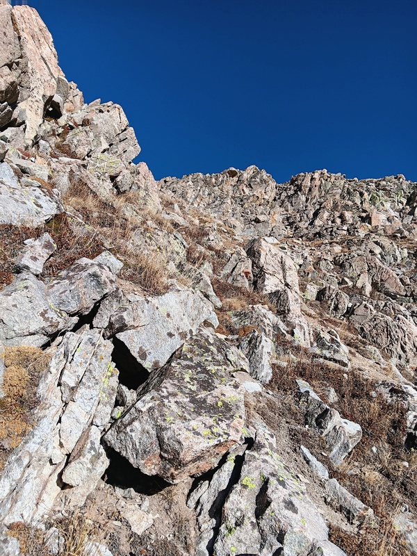
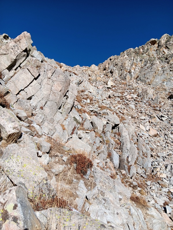
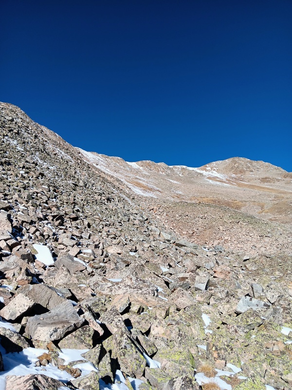
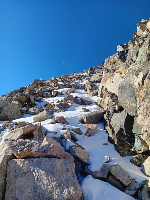
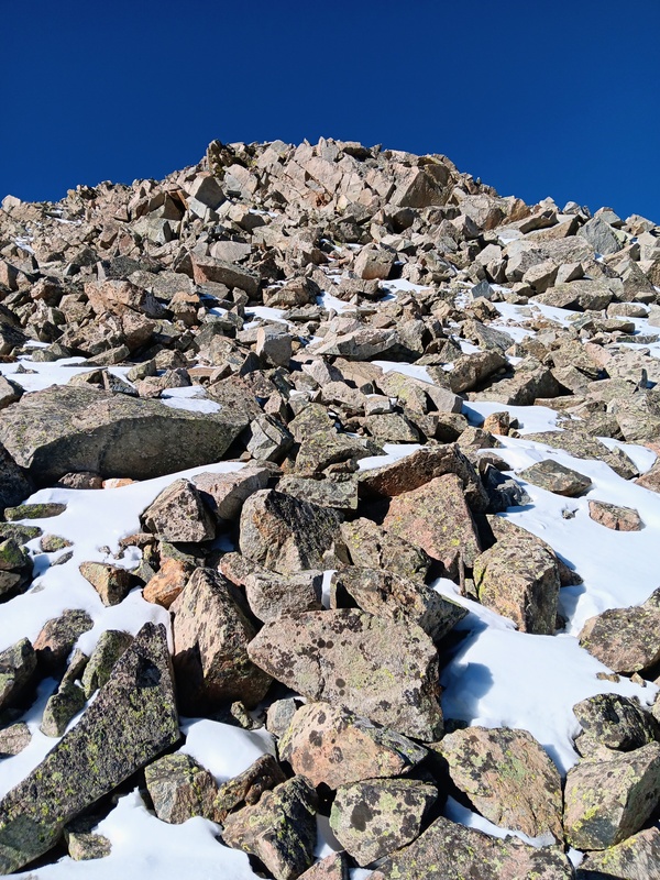
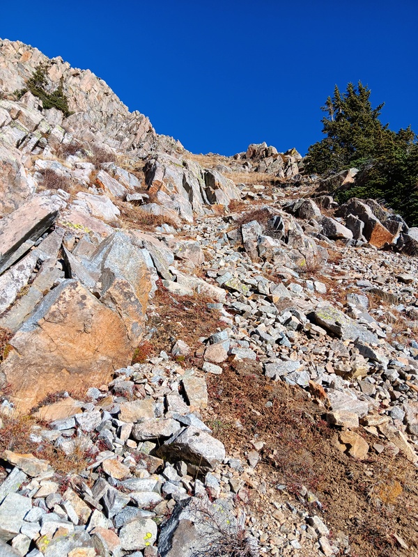
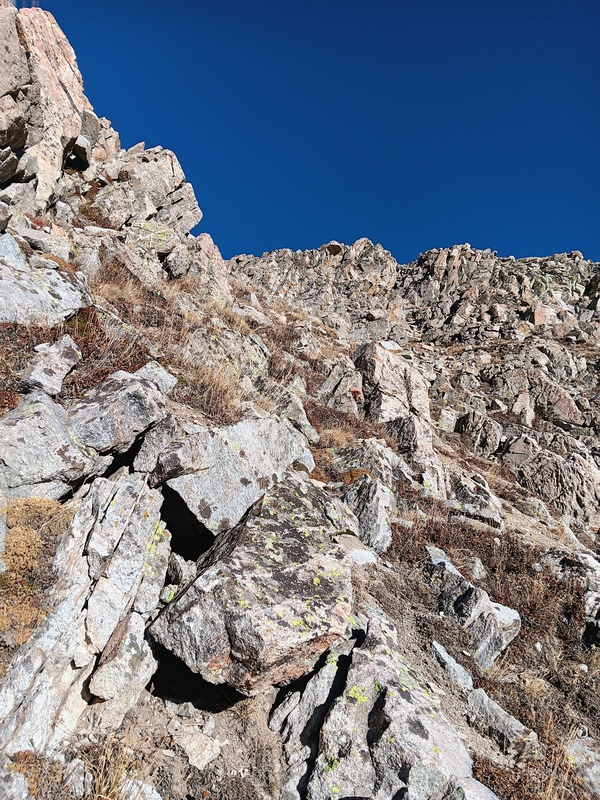
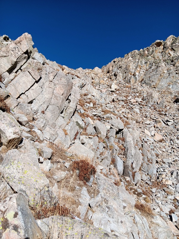
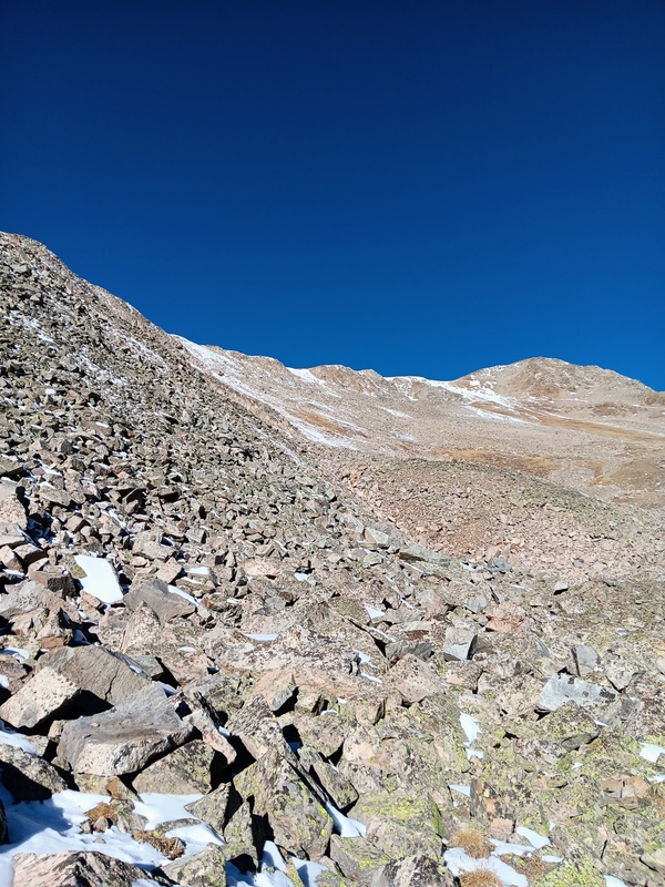
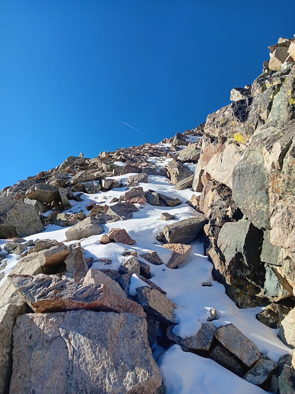
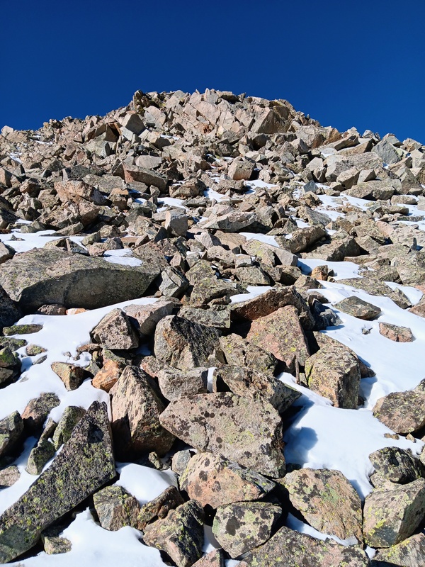
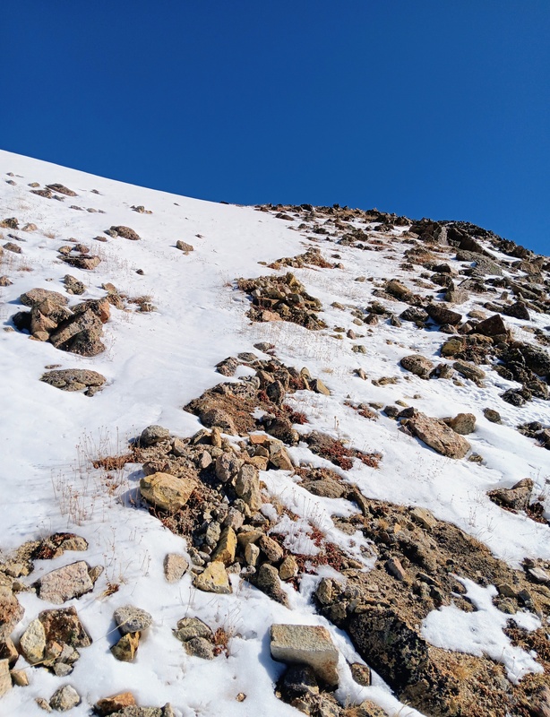
The lower section of the gully was steep but not difficult. Then I went through a couple sections of easy rock scrambling before reaching a clearing just below the southeast ridge. Hopes false summit and southeast face could now be seen in the distance while the southeast ridge was towering above to the left. I then took a steep talus slope to gain the ridge proper and encountered my first snow of the day but it wasn't much.
Leaving the trail and crossing the rock river.Talus which leads to the gully. A much nicer grass slope is to the right. The red line shows my path up the gully.In the gully.Scramble section.More easy scrambling.Clearing below Southeast Ridge. Mt Hope in the distance.Talus climb to the ridge.Almost to the ridge.Hopes Southeast ridge.
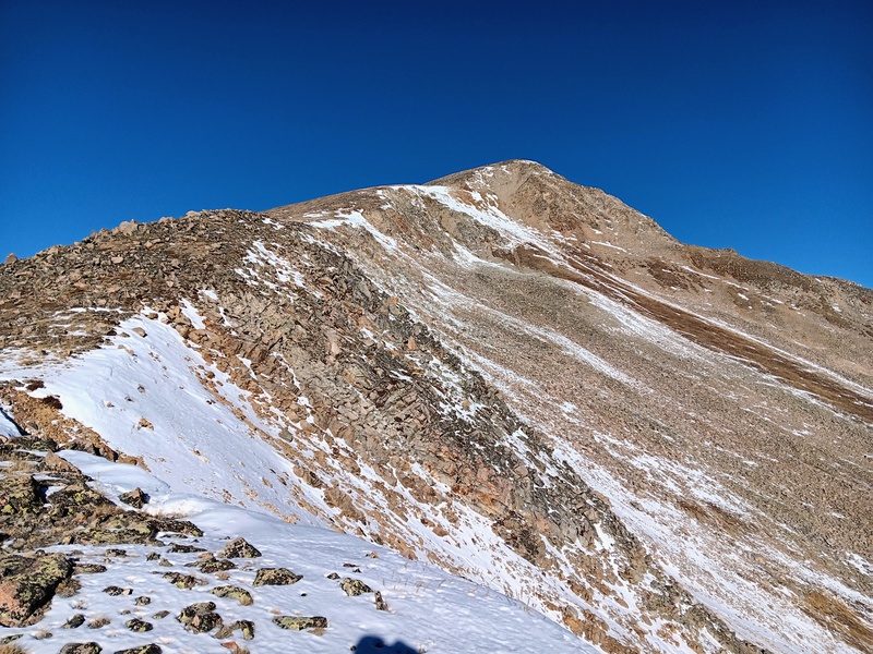
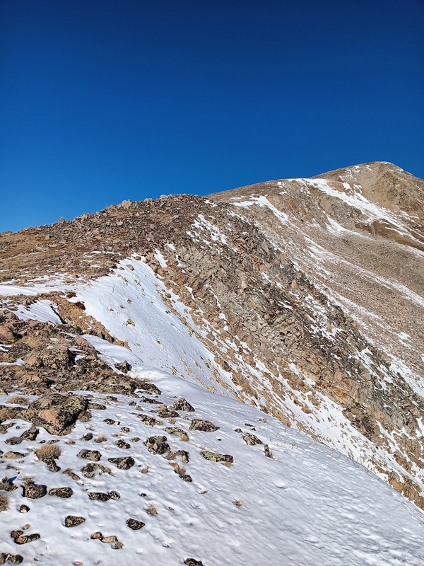
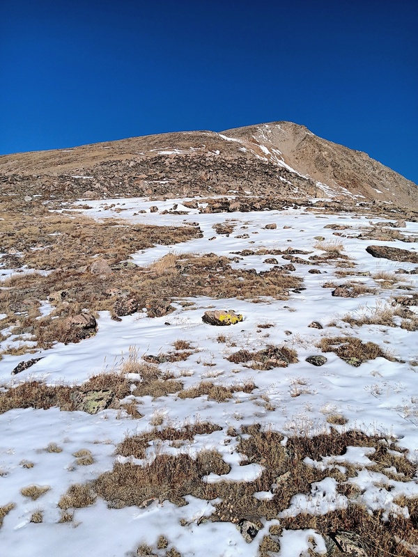
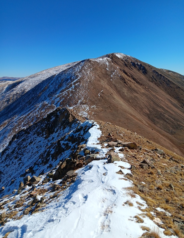
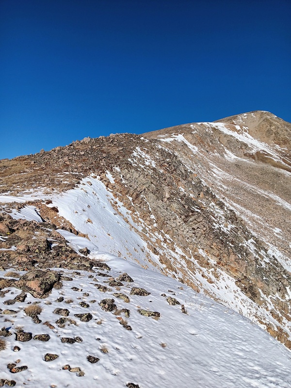
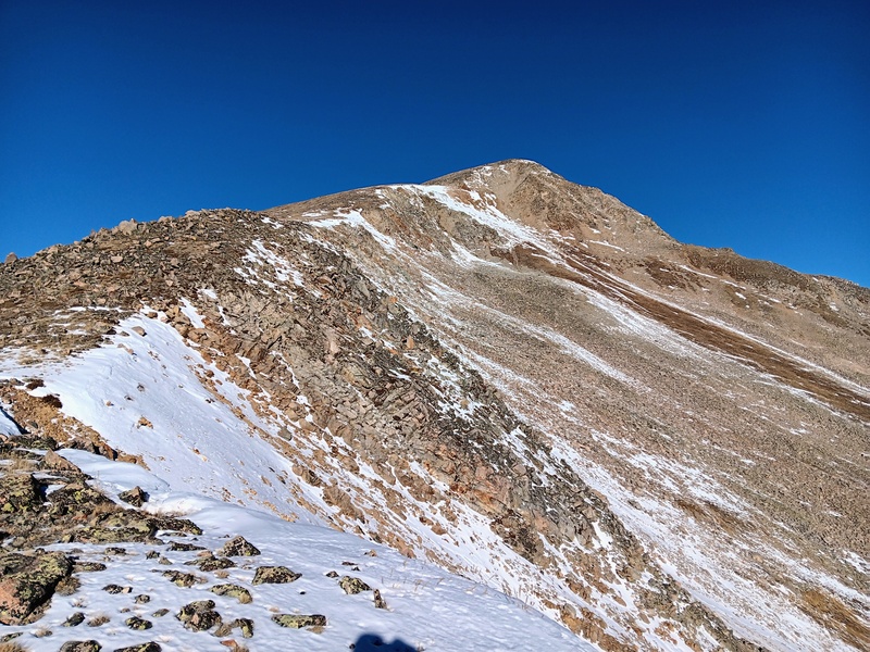
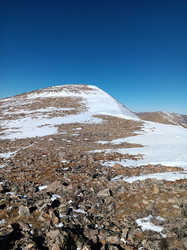
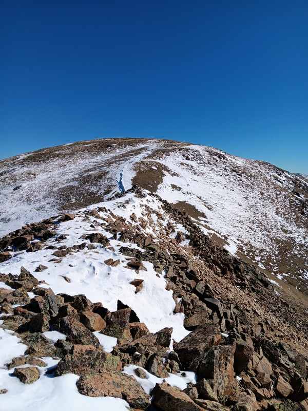
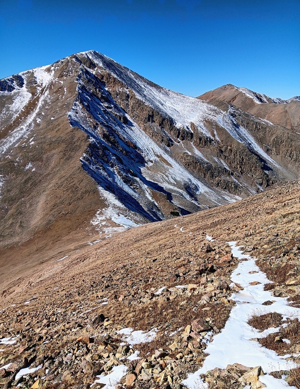
I reached the Southeast ridge proper at 13,000 feet and it was a beautiful sight. It looked like an 8 lane expressway leading directly to Hopes summit. The crux of this route is definitely gaining the ridge. The last mile to the summit looked to be a cruiser.
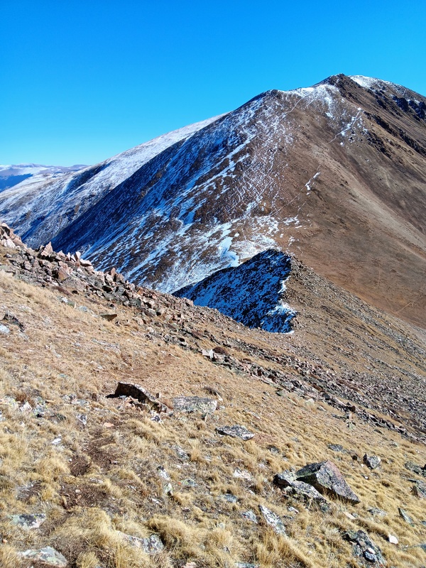
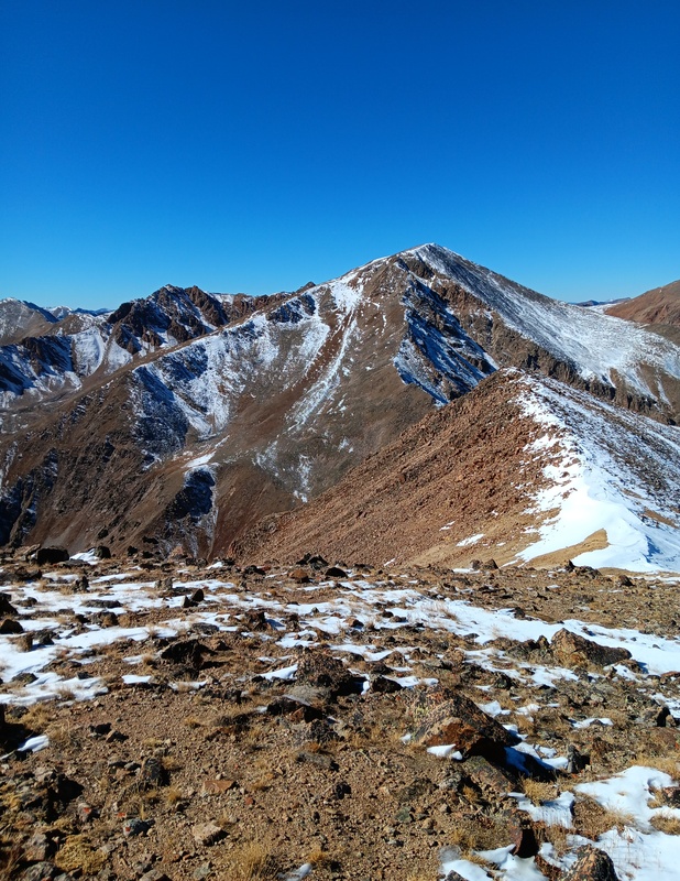
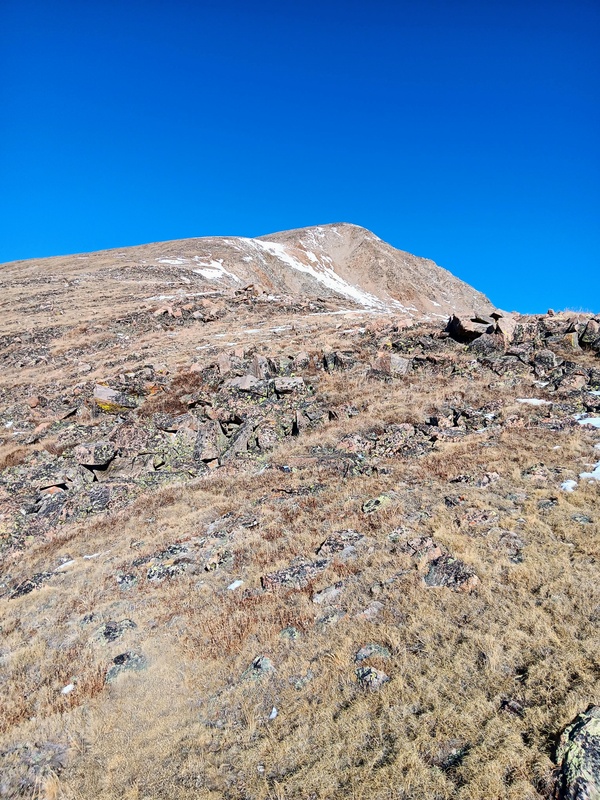
Indeed, the ridge walk to the summit was quick and uneventful. It was mostly a nice stroll over grassy tundra with the occasional talus mixed in. There were no difficulties or route finding to speak of. The snow cover was thin and avoidable while the views all around were amazing. I got a nice look at the East Ridge from this vantage and it appeared dry, so I didn't expect any issues getting to Quail next. I had been a little worried about possibly descending a snow covered East Ridge.
Heading up the ridge.Approaching false summit. You can stay left of the false to avoid climbing it.
At the false summit, I merged with the standard route, and shortly after I was standing on the summit of Mt Hope. The views were stunning in all directions. It was a perfect bluebird day. I totaled about 3.1 miles to the summit which is slightly shorter than the standard East ridge route. Overall, this was a very efficient and great way to summit Hope. One could easily descend this route or make it more of a lollipop and go down the East Ridge towards Quail as I was planning to do.
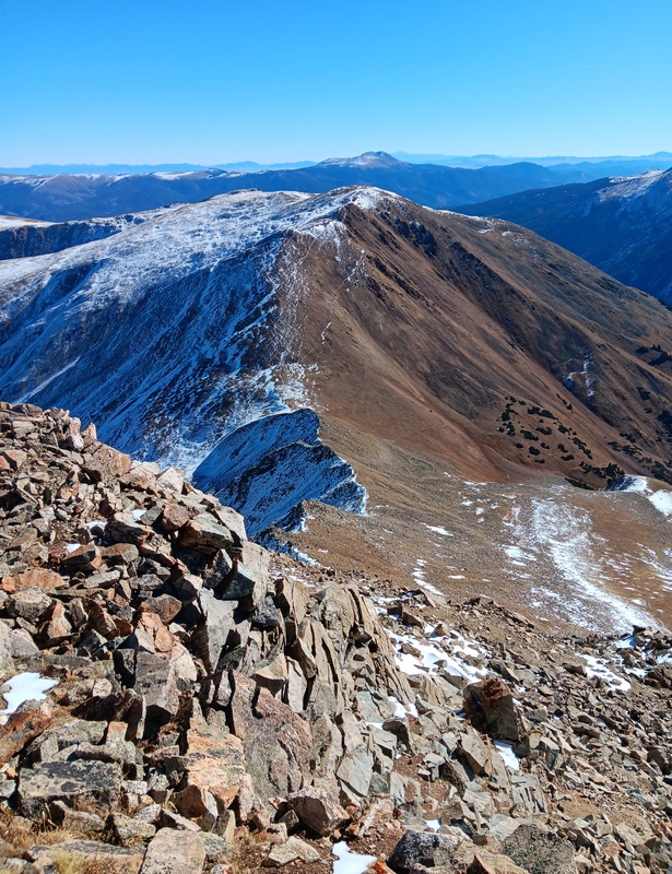
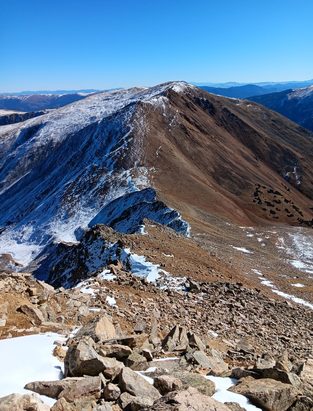
The summit was windy, so I quickly took a few photos and departed towards the East Ridge for my descent. After descending the false summit I dropped onto the ridge into the crux rock scramble and found the correct gully difficult to find from above. In hindsight, I wish I had studied the photos of this ridge more. Nevertheless, I found my way through the talus with some help from a few scattered cairns. The ridge then thankfully became much more defined and mellow the remainder of the way down to Hope Pass.
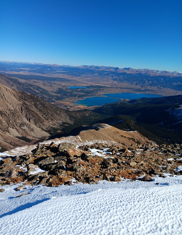
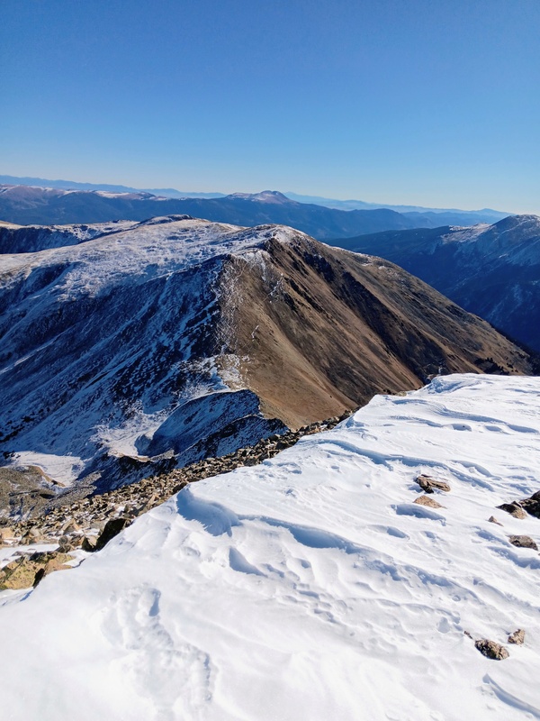
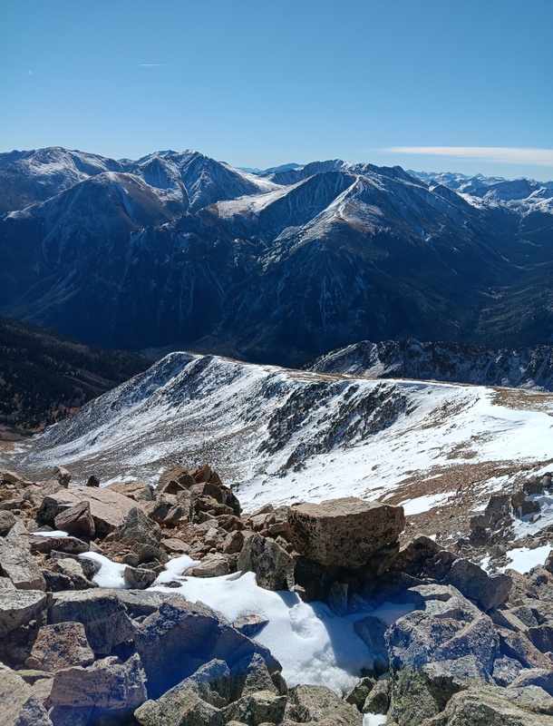
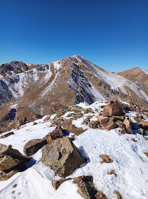
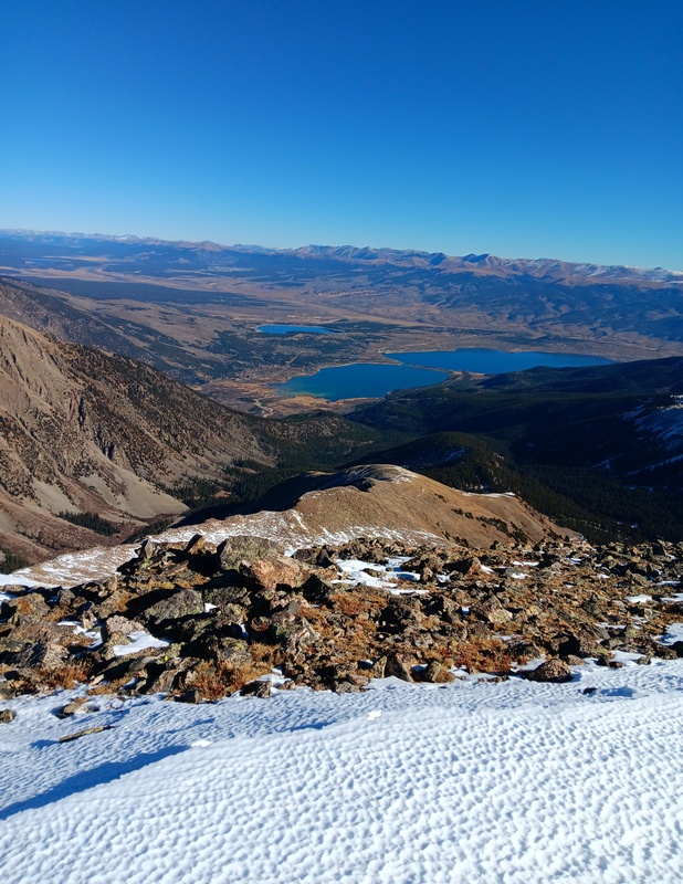
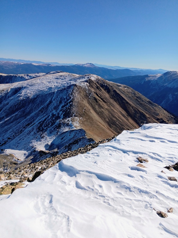
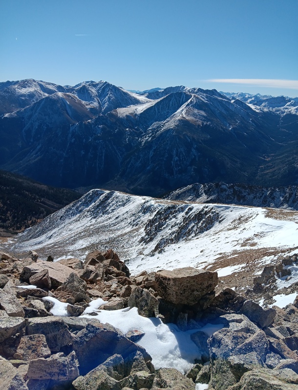
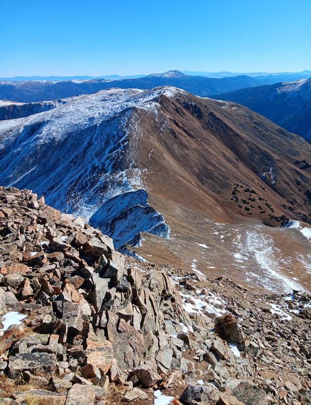
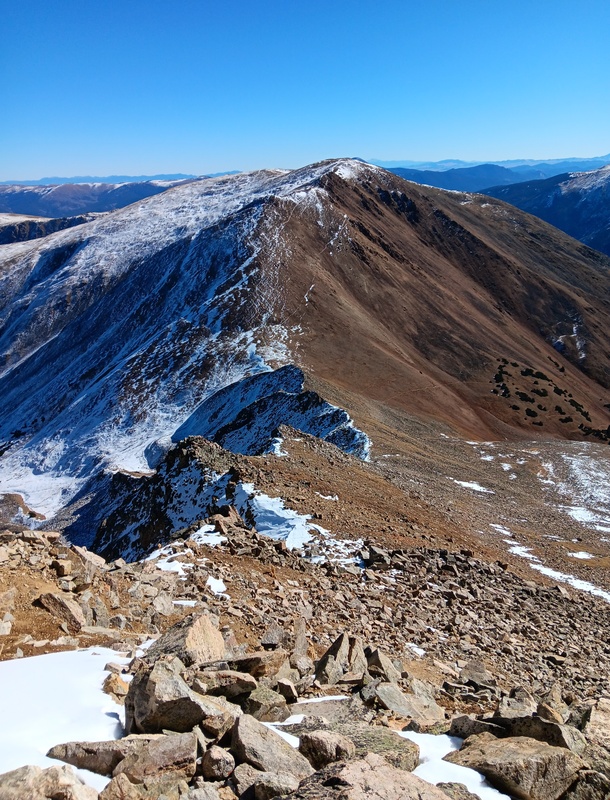
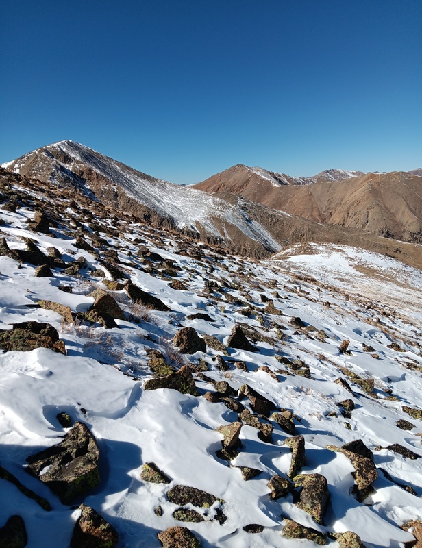
Summit views of Twin Lakes.Looking over at Quail Mountain.Looking down at the Southeast Ridge and over to the Belford Group.Starting down the ridge.Making my way through the crux area.Start of mellow ridge section.
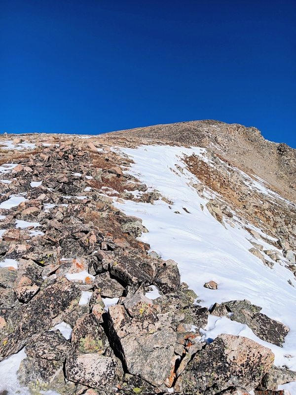
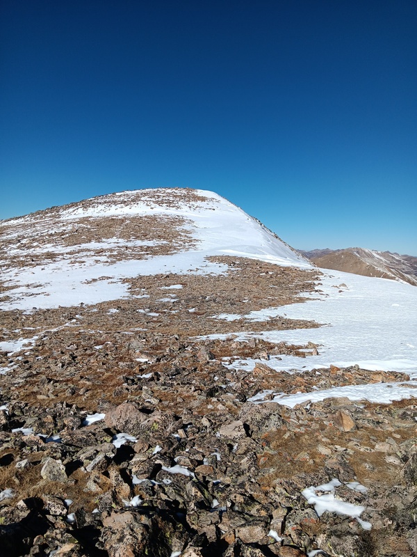
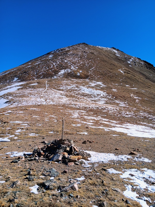
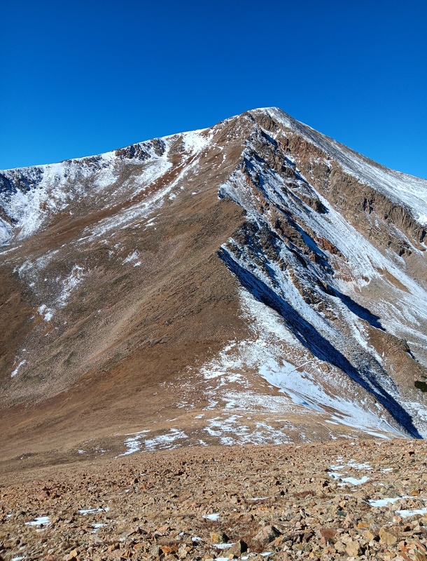
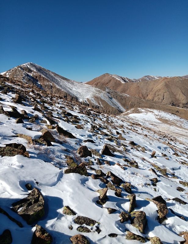
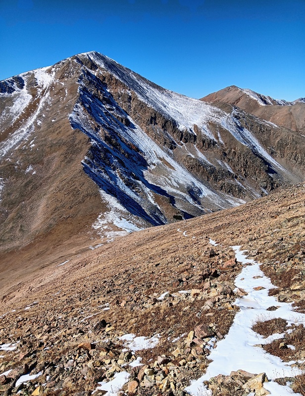
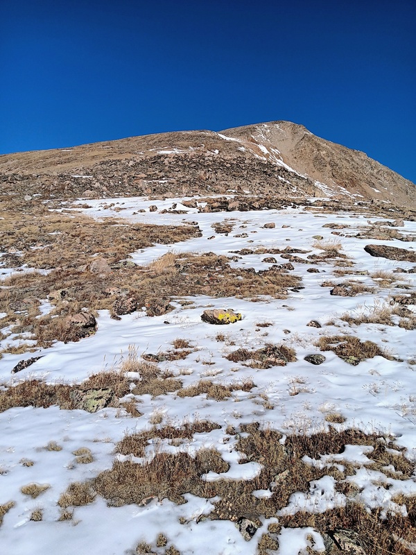
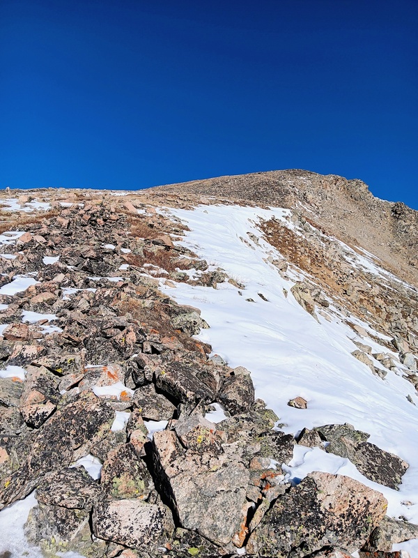
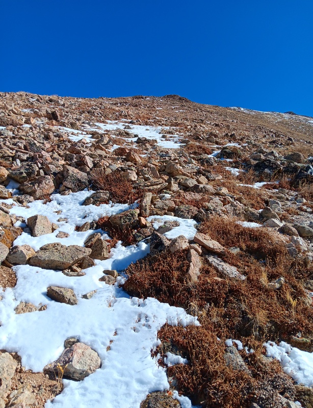
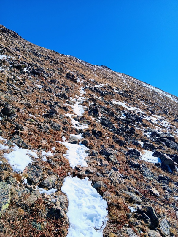
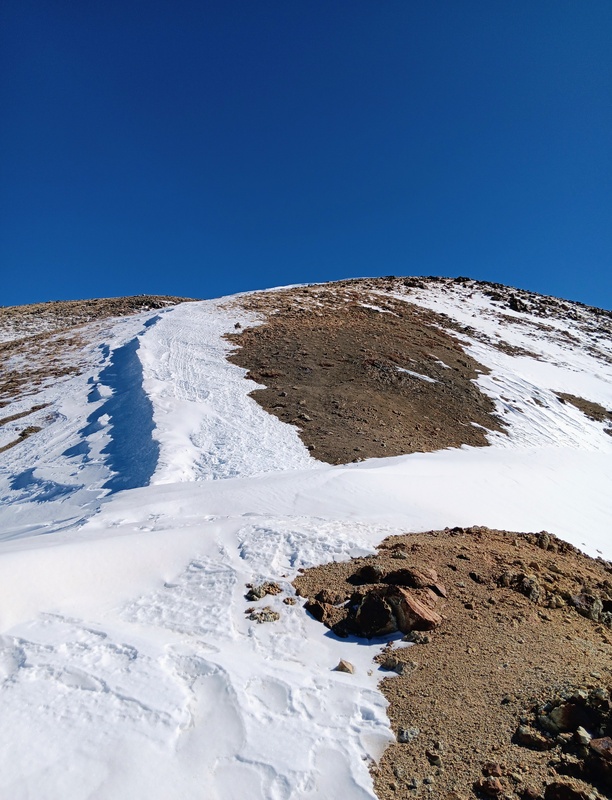
At Hope Pass I started the 1000 vertical foot climb up Quails West Ridge on a nice trail. It quickly became snow covered and icy but still manageable without putting on microspikes. The higher I went the more snow there was. The ascent to the first false summit didn't take long though and from here on up I lost the trail completely in snow. It wasn't deep, but I was happy to be wearing gaiters as I occasionally punched through the hardpack.
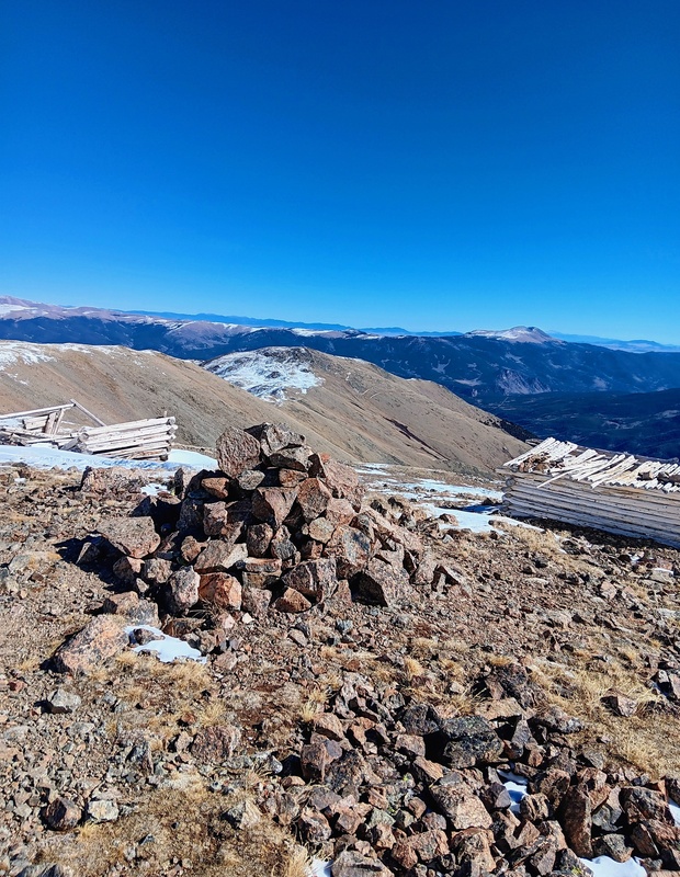
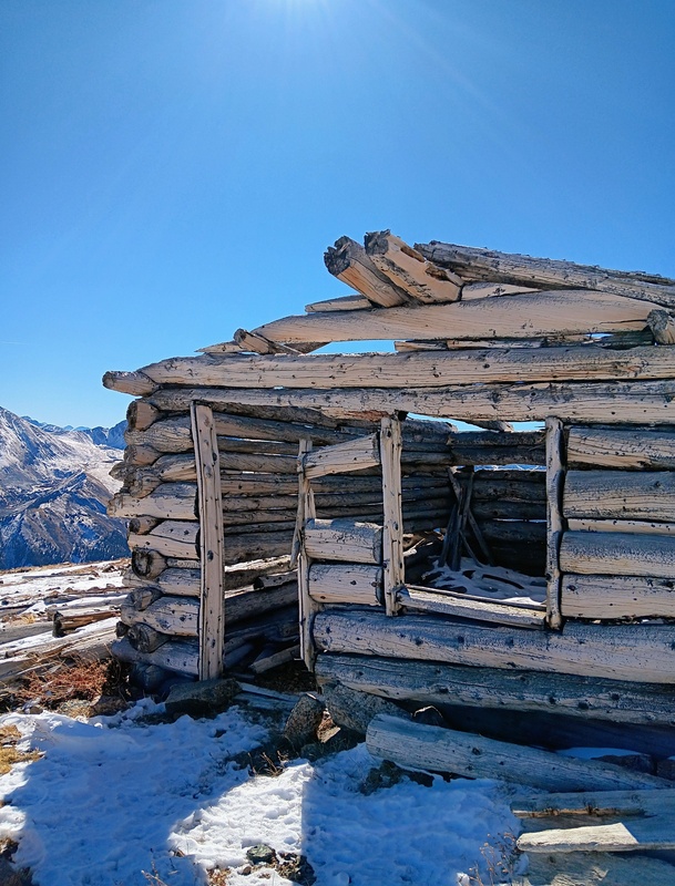
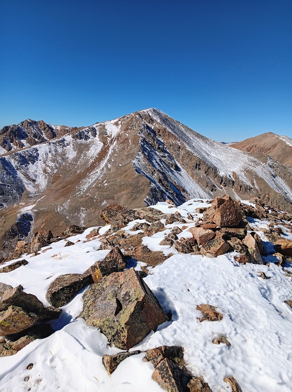
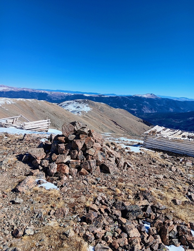
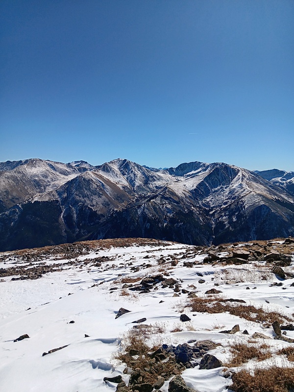
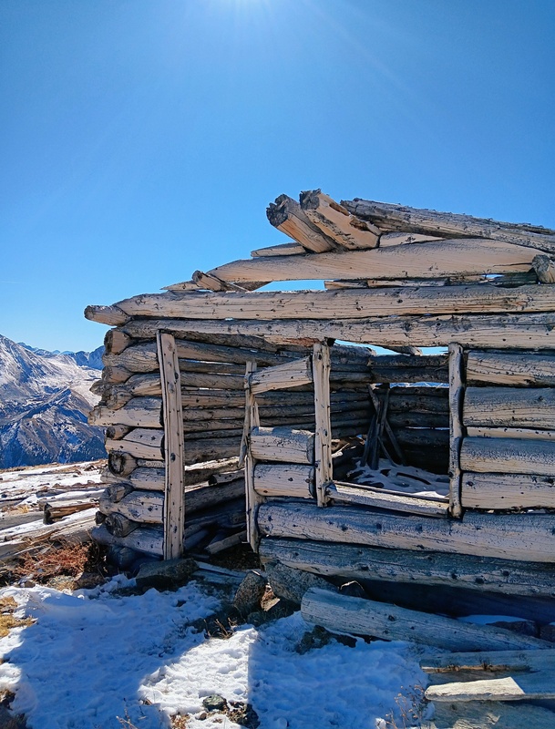
I crossed over one more false summit before finally reaching the true summit. There was a couple dilapidated log cabins here and incredible views all around of sawatch peaks.
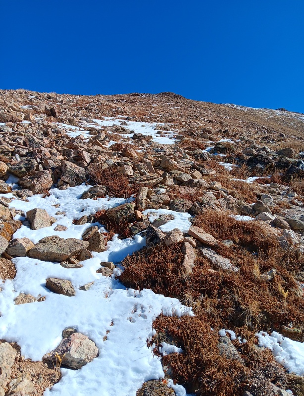
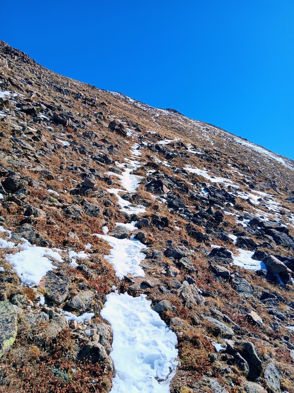
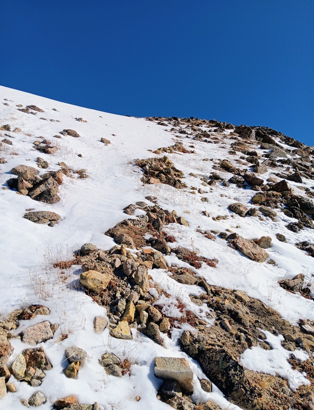
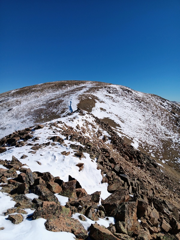
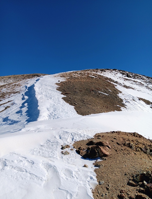
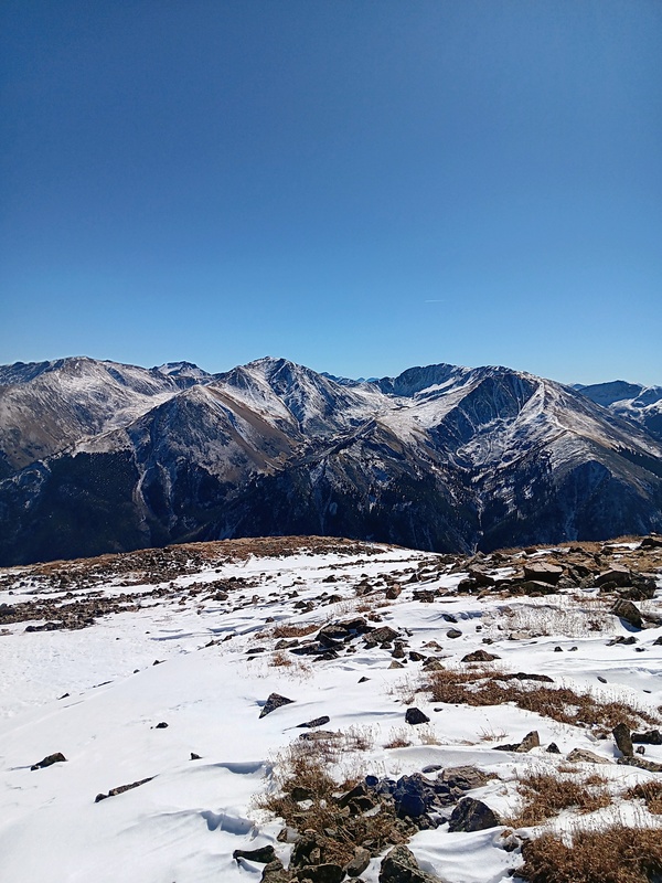
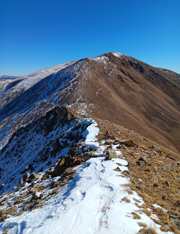
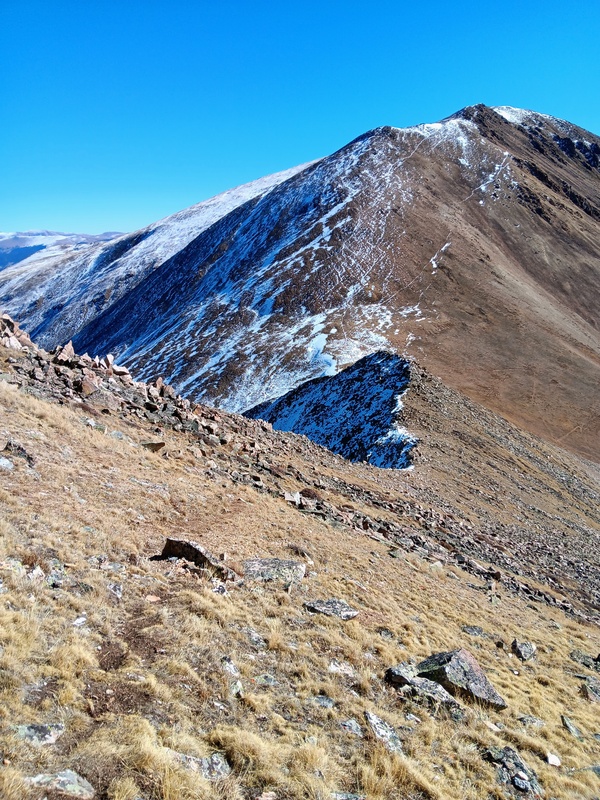
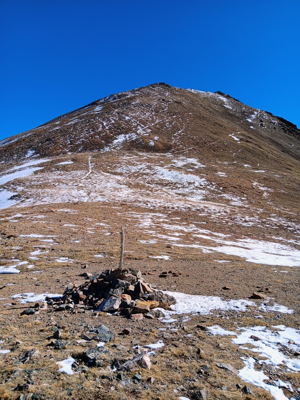
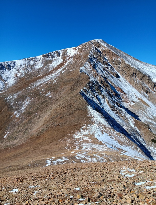
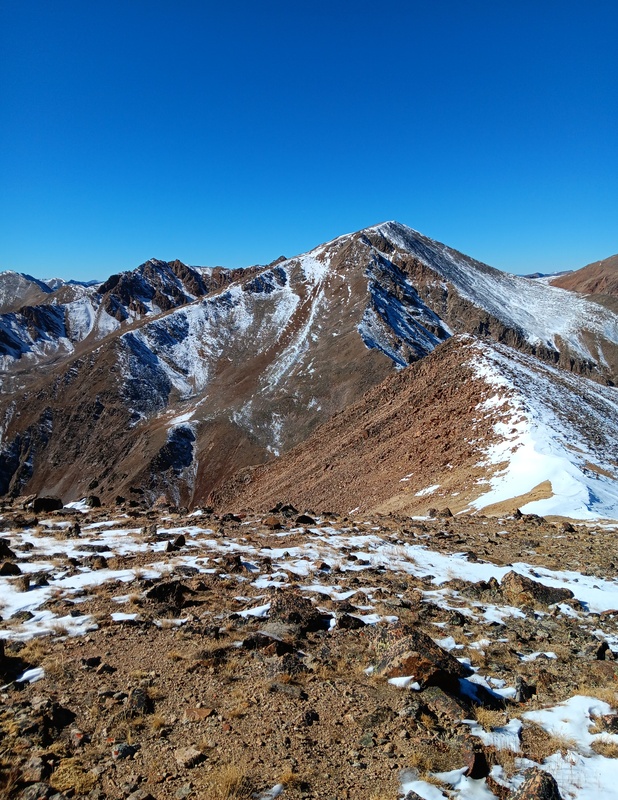
Looking up at Quail Mountain from Hope Pass.Looking back at Hopes East Ridge from the lower slopes of Quail.Looking up Quail.Partially covered trail.Fully covered trail.First highpoint on the ridge.Looking back at Hope again.Approaching second false summit.Quail summit with old cabins.View of Belford group.
Quails summit was windy as well, so I took refuge behind a cabin for a quick break. It was really nice to be on another summit already and I enjoyed it for a good 15 minutes before heading down. I put microspikes on to help the descent go quicker over the snowy false summits and I was back at Hope Pass in no time. I then had a peaceful stroll back to the trailhead. I hadn't seen another soul all day. I was quickly discovering that weekday climbs in the fall were a great time to get out.
My girlfriend was waiting for me at the trailhead. We then zipped backed to Leadville for our Melanzana appointment. You can never have too many of these. Afterwards, we had a delicious late lunch at High Mountain Pies, another must Leadville stop, and then made the long trip back to FC. Thanks for reading!
Starting Quail descent.Quails false summits.Trail to Hope Pass.
GPS Track(s) on Google Maps (made from a .GPX file upload):
Thanks Jay521! That's very nice of you to say. I'm glad you enjoyed the report. It's a fun route and I definitely recommend.
Caution: The information contained in this report may not be accurate and should not be the only resource used in preparation for your climb. Failure to have the necessary experience, physical conditioning, supplies or equipment can result in injury or death. 14ers.com and the author(s) of this report provide no warranties, either express or implied, that the information provided is accurate or reliable. By using the information provided, you agree to indemnify and hold harmless 14ers.com and the report author(s) with respect to any claims and demands against them, including any attorney fees and expenses. Please read the 14ers.com Safety and Disclaimer pages for more information.
Copyright: Route information, text, risk factors, maps, GPX files, charts, photos, 14ers.com-created map imagery, flythroughs, and other content provided in this route description are copyrighted by 14ers.com and may not be copied, reproduced, republished, distributed, modified, or used to create derivative works without prior written permission.
Please respect private property: 14ers.com supports the rights of private landowners to determine how and by whom their land will be used. In Colorado, it is your responsibility to determine if land is private and to obtain the appropriate permission before entering the property.