Download Agreement, Release, and Acknowledgement of Risk:
You (the person requesting this file download) fully understand mountain climbing ("Activity") involves risks and dangers of serious bodily injury, including permanent disability, paralysis, and death ("Risks") and you fully accept and assume all such risks and all responsibility for losses, costs, and damages you incur as a result of your participation in this Activity.
You acknowledge that information in the file you have chosen to download may not be accurate and may contain errors. You agree to assume all risks when using this information and agree to release and discharge 14ers.com, 14ers Inc. and the author(s) of such information (collectively, the "Released Parties").
You hereby discharge the Released Parties from all damages, actions, claims and liabilities of any nature, specifically including, but not limited to, damages, actions, claims and liabilities arising from or related to the negligence of the Released Parties. You further agree to indemnify, hold harmless and defend 14ers.com, 14ers Inc. and each of the other Released Parties from and against any loss, damage, liability and expense, including costs and attorney fees, incurred by 14ers.com, 14ers Inc. or any of the other Released Parties as a result of you using information provided on the 14ers.com or 14ers Inc. websites.
You have read this agreement, fully understand its terms and intend it to be a complete and unconditional release of all liability to the greatest extent allowed by law and agree that if any portion of this agreement is held to be invalid the balance, notwithstanding, shall continue in full force and effect.
By clicking "OK" you agree to these terms. If you DO NOT agree, click "Cancel"...
My friends and I made plans to spend Friday through Sunday at Conundrum Hot Springs, so I thought, "Why not try to tag Conundrum Peak?"
To approach this route, simply hike to Conundrum Hot Springs, and then follow the signs to campsite 8, which is just 100 meters away, at 39.01185, -106.89004. I was camping out for the weekend with friends, so I started the day right by the Hot Springs.
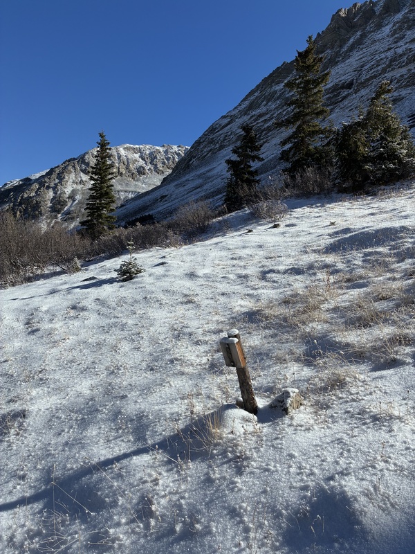
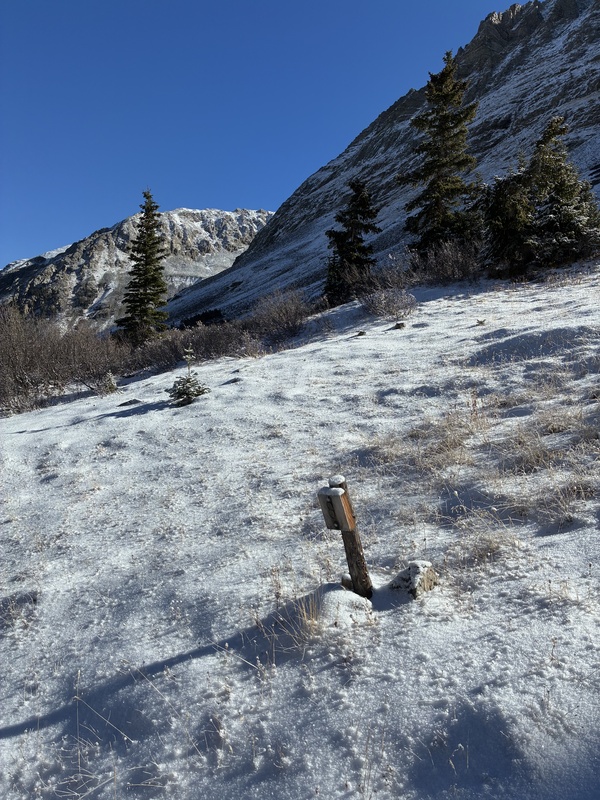
Campsite 8 is the last place where you follow a trail.
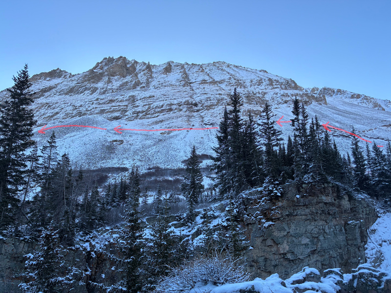
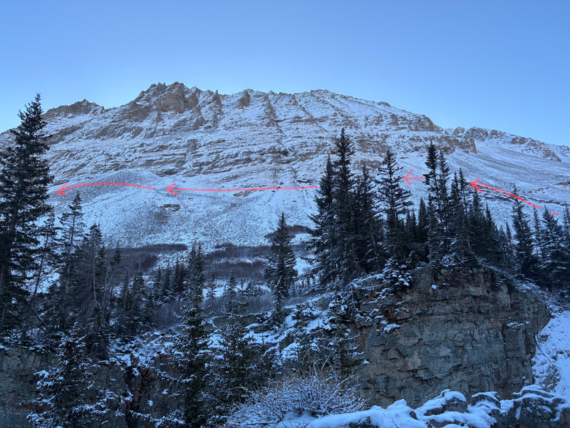
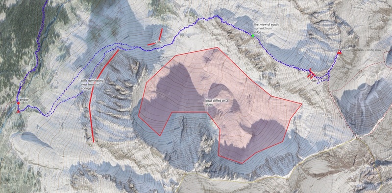
The first obstacle to tackle in this journey off-trail is the cliffs that obstruct your view. When you look east from the area where the camp sites and hot springs are located, you actually cannot see Conundrum Peak. Instead, there is an impressive cliff that fills your vision.
Shown here are the cliffs blocking the view of Conundrum Peak, viewed from the campsites near the hot springs.
To get around these cliffs, you simply proceed to the northeast, perpendicular to the fall line along a talus field until you've reached the northern end of the cliffs.
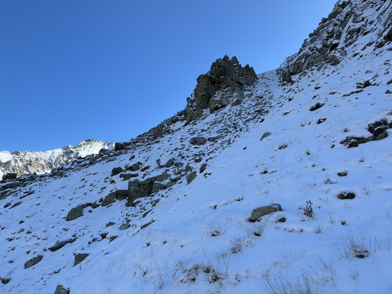
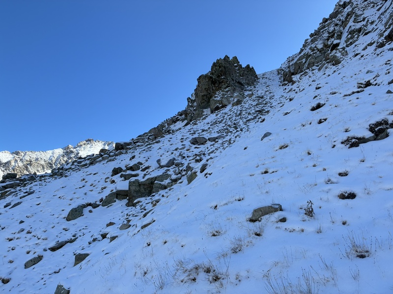
At the northern end of the cliffs, there is a fun couloir that I climbed up, but you can also just continue for another 20 meters north to bypass the couloir and take easier terrain.
There is a couloir that you may optionally ascend, or you can go north / left around it.
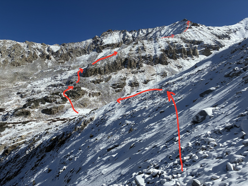
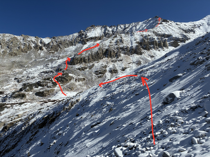
Once around this, you finally catch your first impressive view of the ridge that you will be taking to Conundrum Peak.
Here's the first view I got of the ridge that I'd be taking up to Conundrum Peak.
As you can see, there's a pretty obvious line that I knew I'd be taking at this point. The many cliffs in the photo prevent travel except along the ridge.
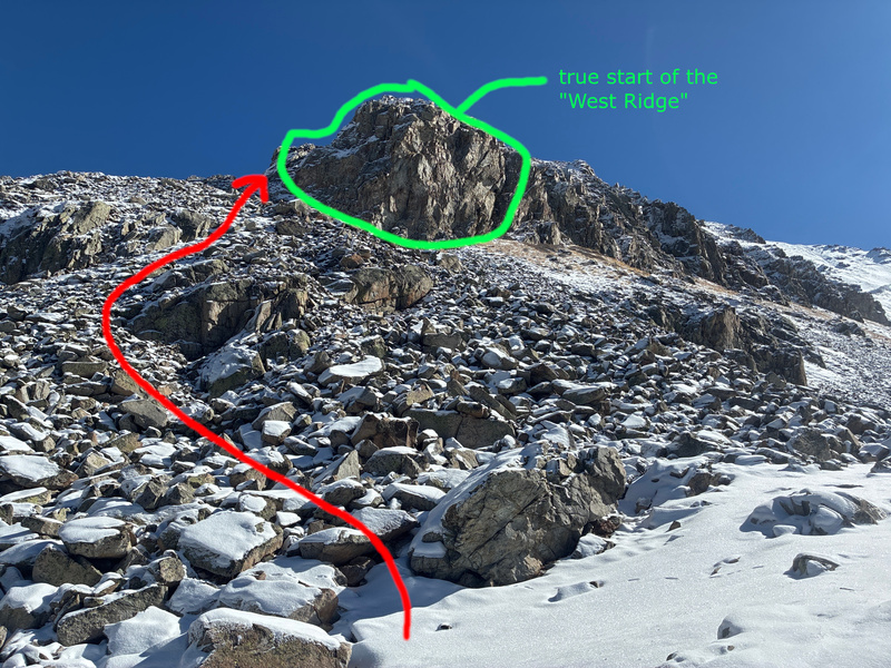
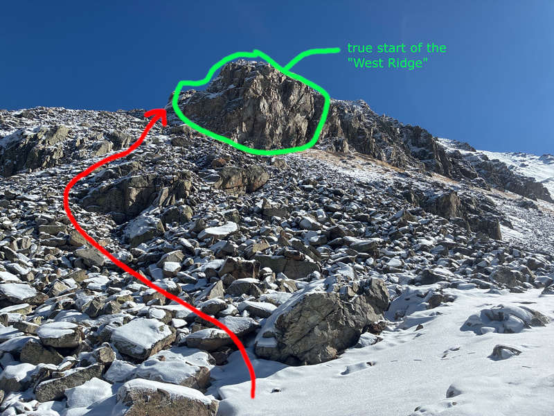
At this point, I descended a little into the bowl, which brought me right to the base of the Conundrum West Ridge. The west ridge doesn't properly start until 39.01797, -106.87373. Up until this point, there is significantly more flexibility in where you wander with your travels. Once you pass this start of the ridge, there are cliffs to the south and a very steep boulder field to the north along most of the ridge, so you will want to stay as true to the spine of the ridge as possible.
Going around the base of the West Ridge to the northern side allowed me to gain the ridge easily rather than trying to climb up the cliffs.
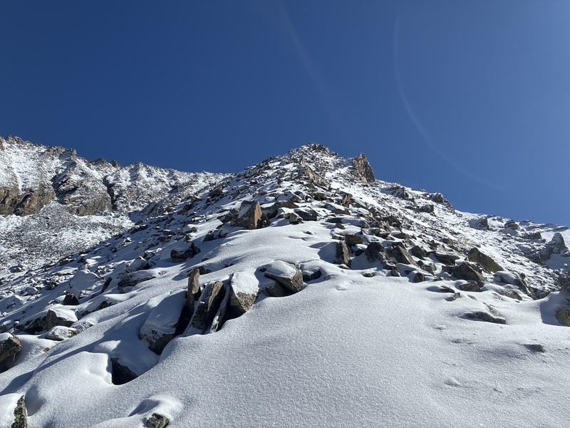
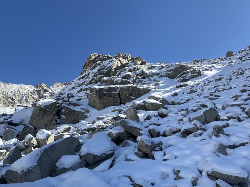
When I first got onto the ridge, I could not see Conundrum Peak. My view was obstructed by the ridge itself.
After getting onto the ridge, the view is obstructed.
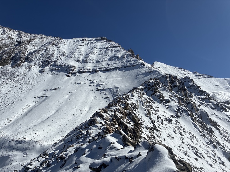
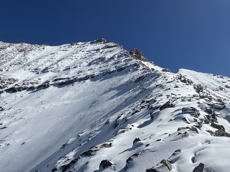
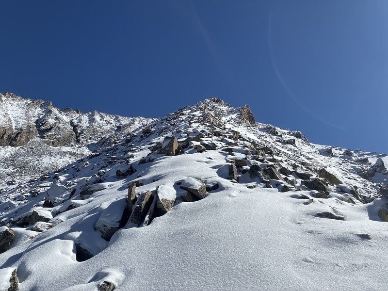
After a short ways, I headed over a bulge in the ridge and could easily see the southern summit of Conundrum. Technically, Conundrum has two peaks right next to each other, and the northern one is higher.
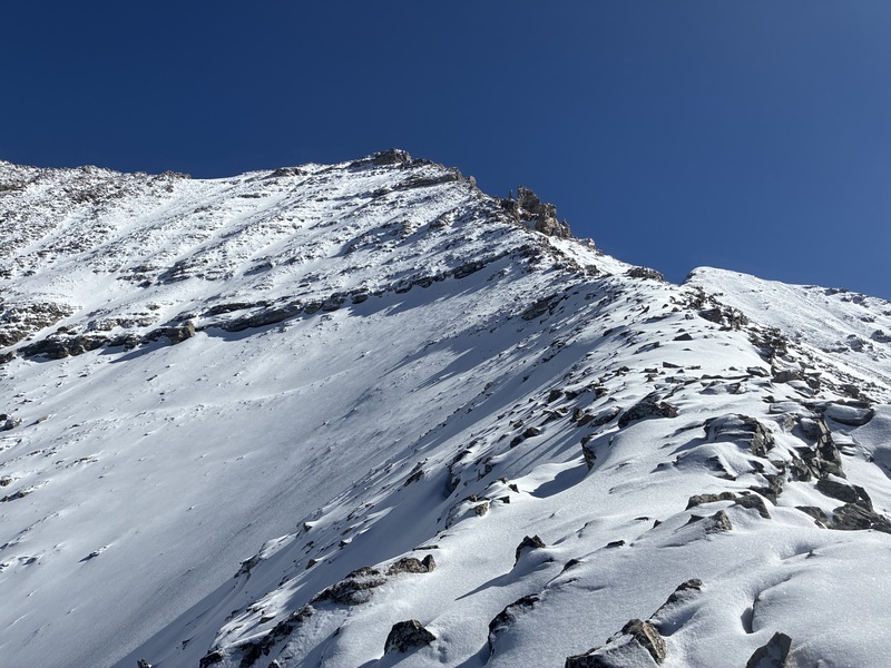
Looking up the West Ridge at Conundrum Peak.Still looking up the ridge at Conundrum Peak.
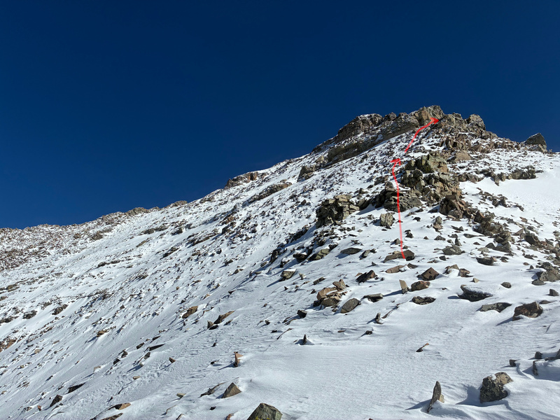
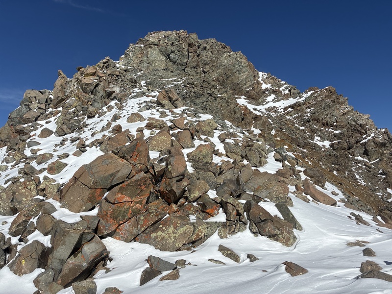
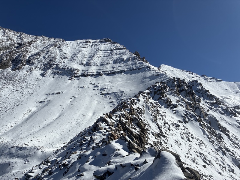
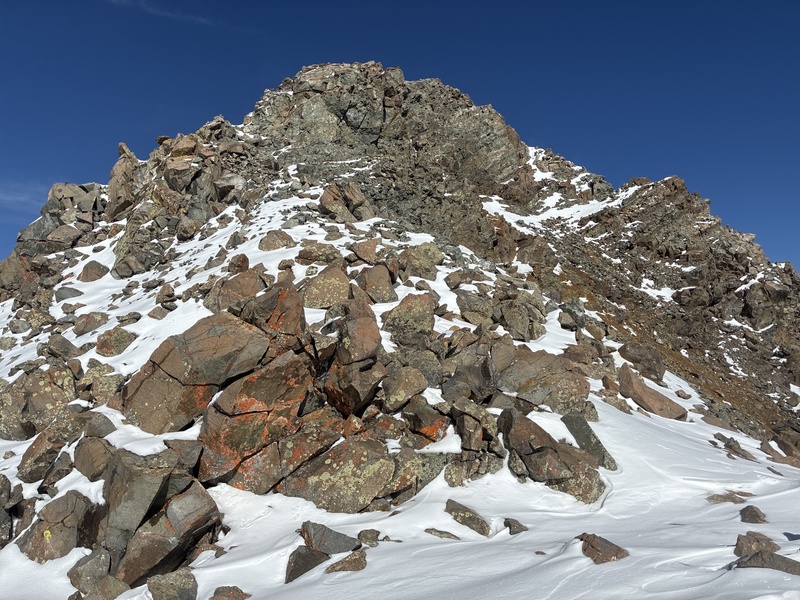
Following this ridge is pretty self-explanatory, until I got near the very top. As I was approaching the top, a 10 meter headwall started to fill my vision.
Approaching the headwall
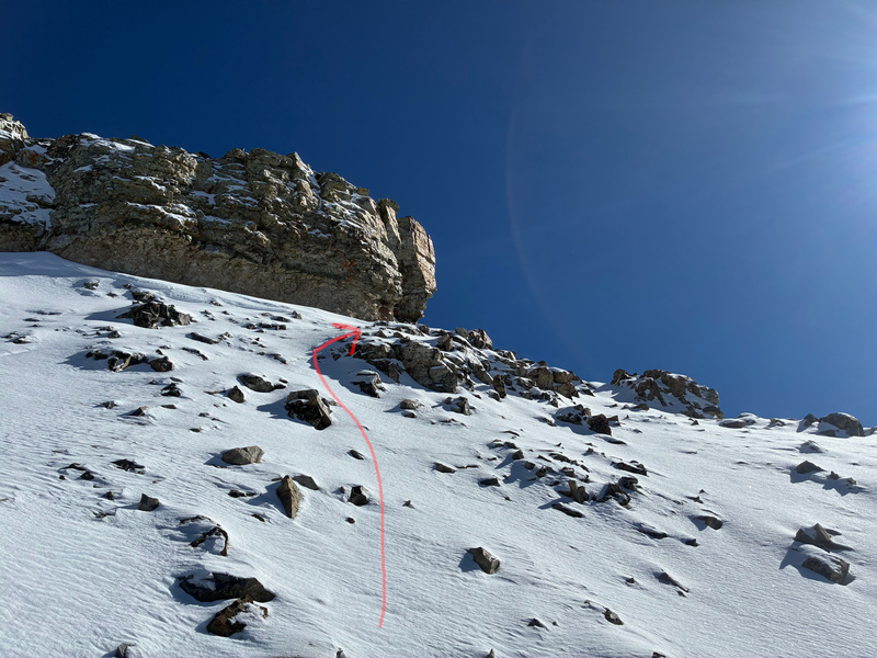
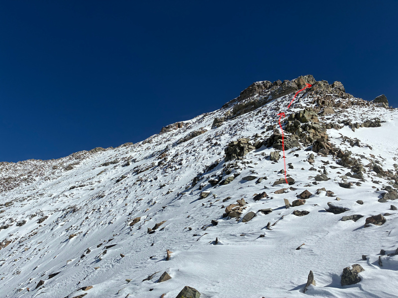
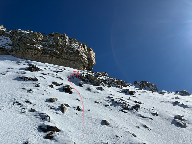
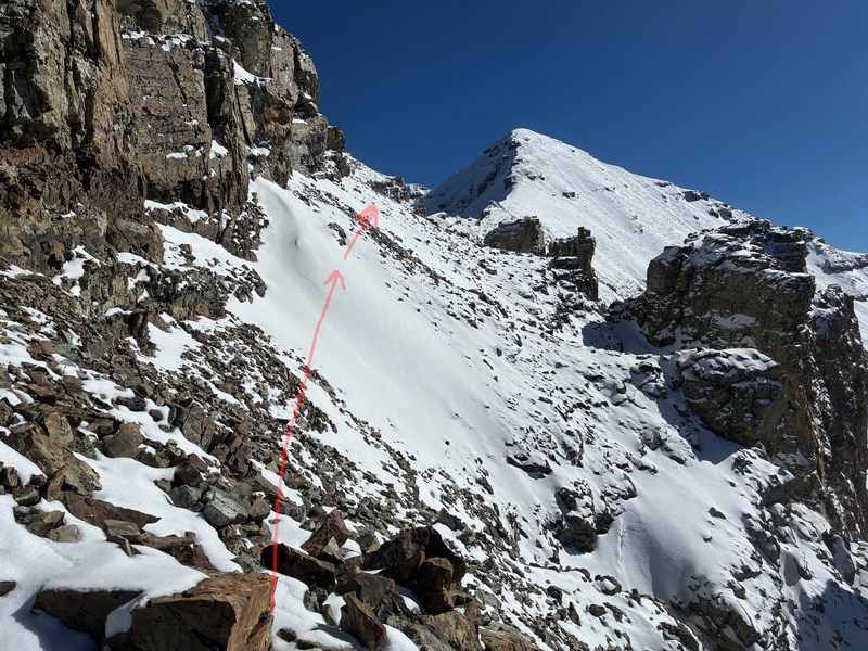
The trick is to go around this headwall, to bypass it on the south side.
Right below the headwall
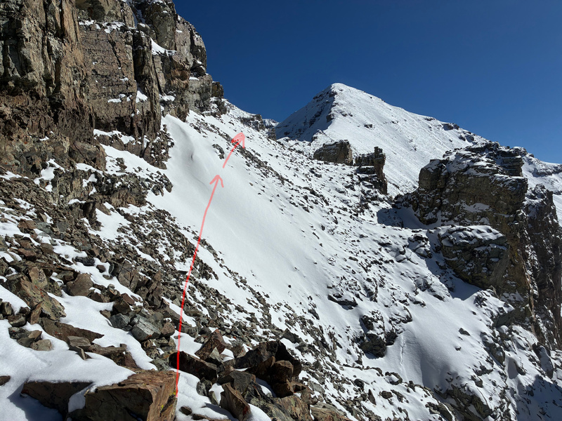
The slope on the south side of the headwall is steep, but manageable.
With the headwall on my left, I passed by three small ridges on my right (seen in this photo), with gulleys between each ridge.
Keeping the headwall on my left, I continued until I reached an open boulder / snow field. At this point, the easiest way is to continue until you hit the ridge between Conundrum Peak and Castle Peak.
Rather than take the easiest way, I took a slightly more direct path up to the south summit of Conundrum.
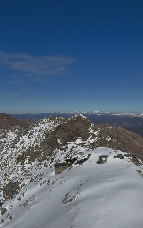
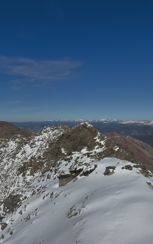
Walking along the ridge of the Conundrum towards the northern peak.
After gaining the southern summit of Conundrum, it was a short walk along the ridge to a col.
After dropping into the col between the north and south summits of Conundrum, I found myself looking up one final, short climb to the top of Conundrum Peak.
Just a few minutes later, I found myself at the top!
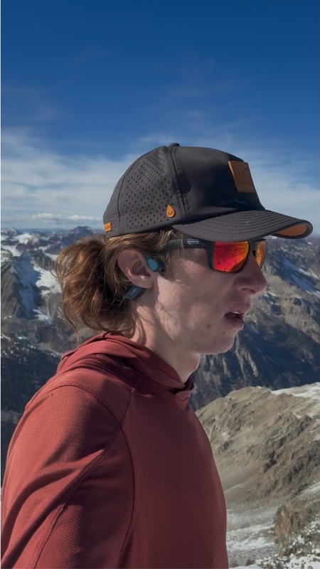
Enjoying the views.
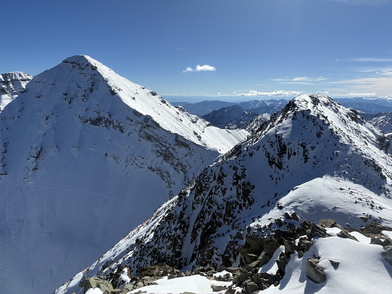
The views from the summit were spectacular.
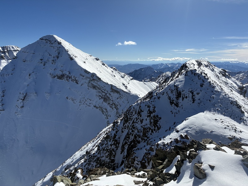
Looking at Castle Peak from Conundrum Peak.
Half way done! Now, I just had to make the hike back down. The trek down was relatively uneventful, but quite long. The snow was anywhere from a few inches to over a foot. Sadly, there wasn't quite enough snow for glissading.
There was a nice group of a dozen folks enjoying the hot springs when I got back down.
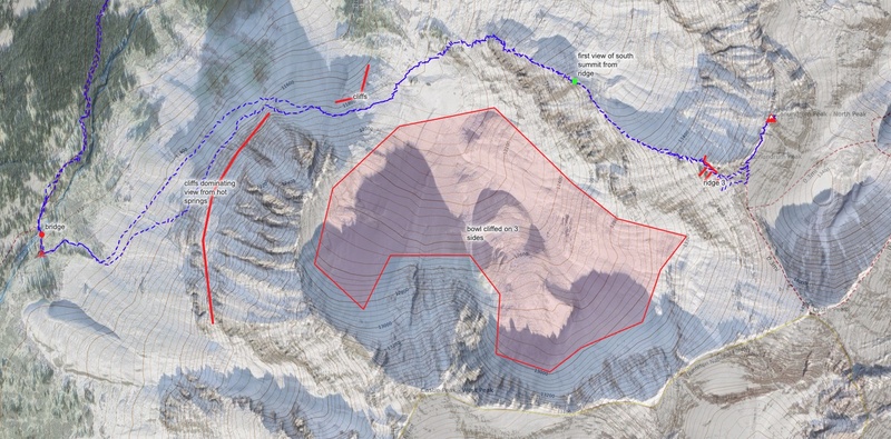
Here is an overview map showing the route that I took in blue.
GPS Track(s) on Google Maps (made from a .GPX file upload):
I bet you are right about the snow, two lunches! I feel like doing this in October gave me a little bit of an interesting perspective since the snow was between a few inches and a foot, meaning that in some places it was more of a snow climb and in other places it was a scramble. I could definitely feel that the rock below the snow was loose (scree in some places and talus in others). Having the snow to hold all the rocks in place certainly seems nice. Thanks for reading and commenting :).
Congrats on the summit. It looks like you had a beautiful sunny day for a climb.
Caution: The information contained in this report may not be accurate and should not be the only resource used in preparation for your climb. Failure to have the necessary experience, physical conditioning, supplies or equipment can result in injury or death. 14ers.com and the author(s) of this report provide no warranties, either express or implied, that the information provided is accurate or reliable. By using the information provided, you agree to indemnify and hold harmless 14ers.com and the report author(s) with respect to any claims and demands against them, including any attorney fees and expenses. Please read the 14ers.com Safety and Disclaimer pages for more information.
Copyright: Route information, text, risk factors, maps, GPX files, charts, photos, 14ers.com-created map imagery, flythroughs, and other content provided in this route description are copyrighted by 14ers.com and may not be copied, reproduced, republished, distributed, modified, or used to create derivative works without prior written permission.
Please respect private property: 14ers.com supports the rights of private landowners to determine how and by whom their land will be used. In Colorado, it is your responsibility to determine if land is private and to obtain the appropriate permission before entering the property.