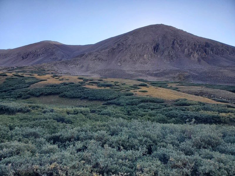
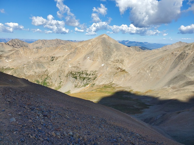
I read some other trip reports for this loop and decided to tackle it in reverse order because (a) I didn't have poles, and (b) I didn't want to attempt going down the steep Western slope of Bross mtn without poles. It seemed like most of the hikers I met along the way did the loop clockwise. Some had poles and some did not.
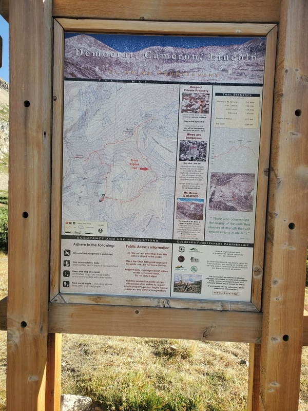
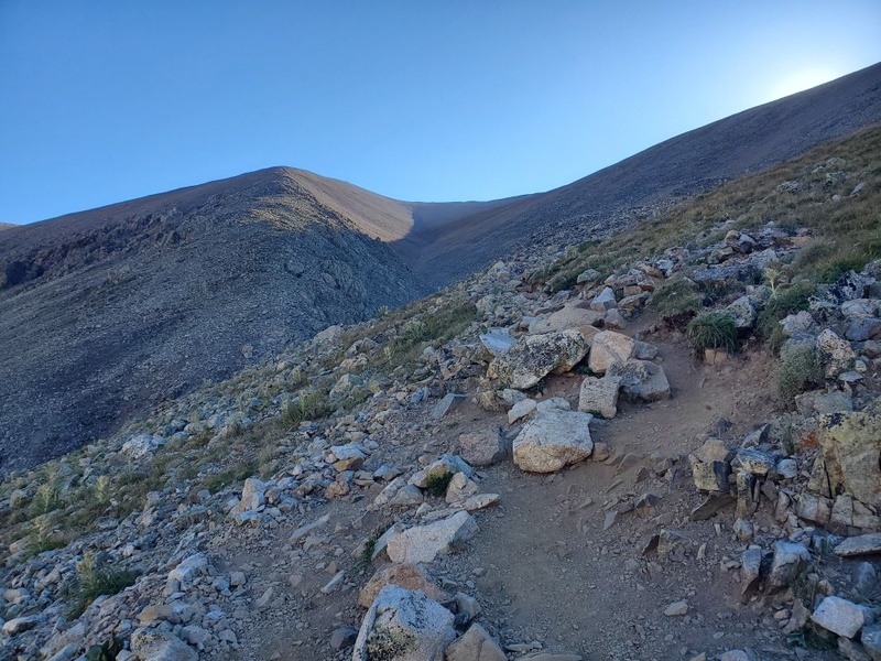
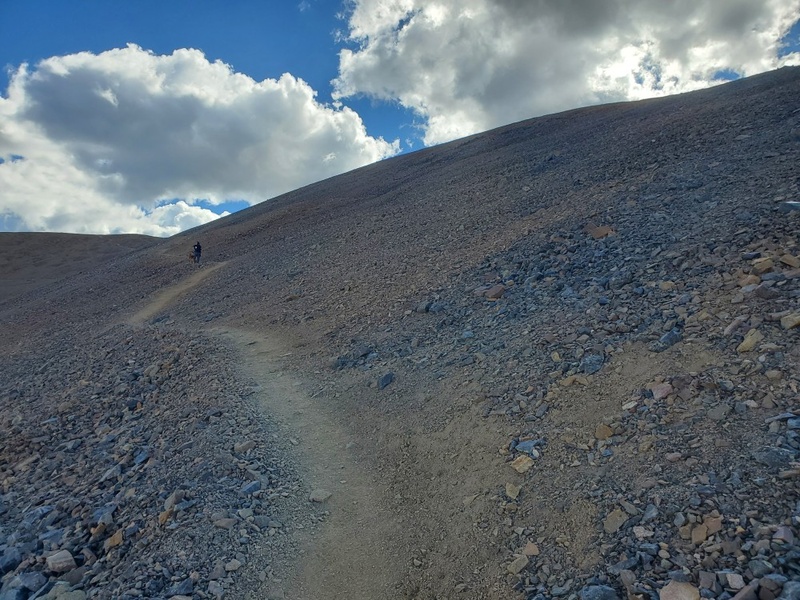
I arrived at the trailhead a little after 8 am. I had to park in a lower parking area because the top parking lot at Kitt lake was full. The forecast seemed to be great this day without rain or storms. If the weather cooperated, I thought I would be able to reach my goal of finishing all 4 peaks. Near the trailhead, I took the unmarked branch which went in the direction of Mt Bross. It was extremely slow going because of the steepness of the trail and the elevation. I was breathing heavy and just went along at a comfortable pace.
Within the first 30 minutes, I saw a stream on the left side of the trail. There was a nice waterfall in a narrow steep canyon. I kept heading up the trail. At this time I was wearing a knit hat and gloves because it was quite cold in the morning, but after hiking for about 1 hour, I was able to take the gloves and hat off. i
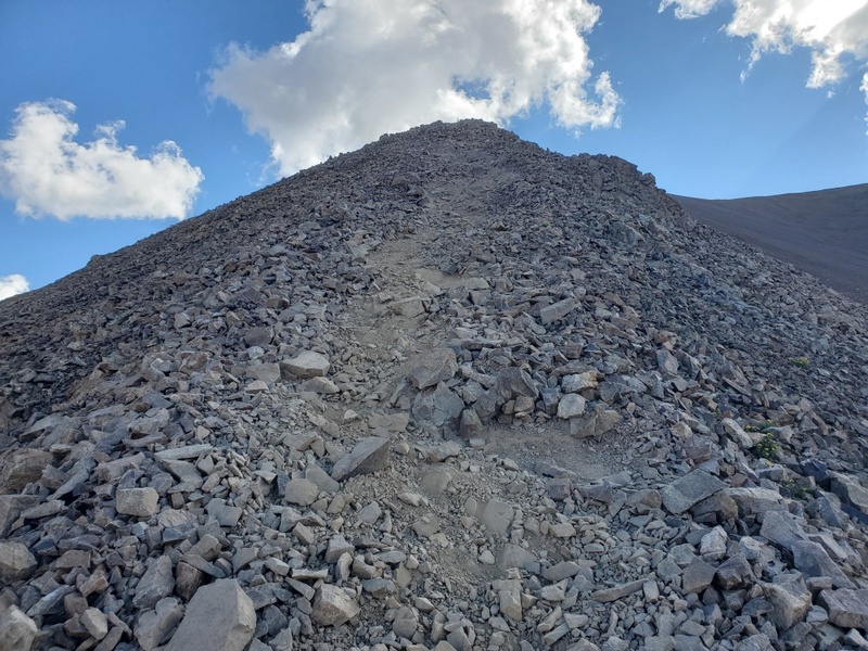
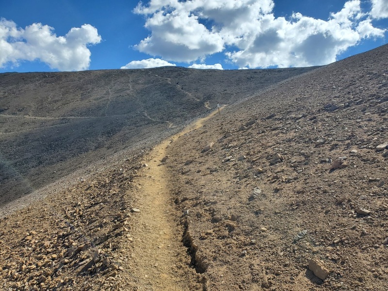
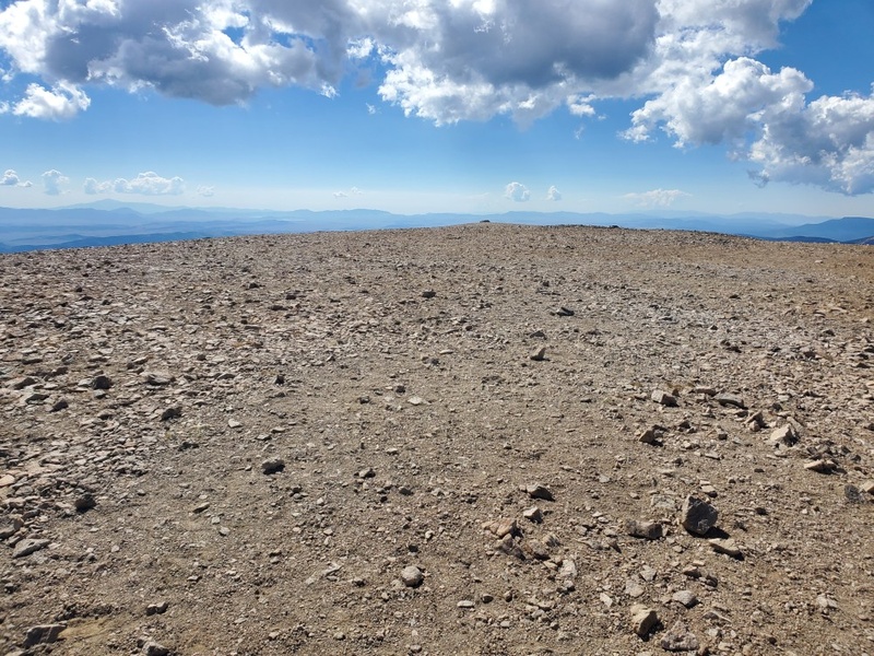
About 80% of the way to the top, I met a couple from England and they were coming down, finishing the whole loop quite early. We chatted for a while and they gave me a few words of encouragement that the trail would flatten out and that there was no problem going to Bross, even thought it was technically on 'private property'. When I got closer to the top, there was a trail junction with a trail going up and a trail heading around Bross going North toward Cameron/Lincoln. There was a sign saying something to the effect of 'Private Property - Stay on trail', and the trail going to the trail was in fact a very well-maintained trail, so it seemed to be completely fine to do this summit. When I got there I had the summit to myself for a few minutes. I saw a semi-circular rock pile and some kind of plaque at the top. Looking South the peak was flat and rocky. Then, I saw another hiker coming from the other direction (Lincoln side). He offered to take my photo. I took a few summit photos and a video then headed on the trail toward Lincoln peak.
On the way to Lincoln peak, I ran into a few other hiker's who were concerned about whether it was allowed to summit Mt Bross. The signs made it pretty clear. Just stay on the trail and it is allowed. I believe it's a mining company that has a claim that probably includes a large area on Mt Bross. Whether they actually do any mining anywhere near the summit is another discussion, but I didn't see any activity the day I was there.
Next, I continued North along the trail toward Lincoln peak which would be my #2 peak of the day.