Download Agreement, Release, and Acknowledgement of Risk:
You (the person requesting this file download) fully understand mountain climbing ("Activity") involves risks and dangers of serious bodily injury, including permanent disability, paralysis, and death ("Risks") and you fully accept and assume all such risks and all responsibility for losses, costs, and damages you incur as a result of your participation in this Activity.
You acknowledge that information in the file you have chosen to download may not be accurate and may contain errors. You agree to assume all risks when using this information and agree to release and discharge 14ers.com, 14ers Inc. and the author(s) of such information (collectively, the "Released Parties").
You hereby discharge the Released Parties from all damages, actions, claims and liabilities of any nature, specifically including, but not limited to, damages, actions, claims and liabilities arising from or related to the negligence of the Released Parties. You further agree to indemnify, hold harmless and defend 14ers.com, 14ers Inc. and each of the other Released Parties from and against any loss, damage, liability and expense, including costs and attorney fees, incurred by 14ers.com, 14ers Inc. or any of the other Released Parties as a result of you using information provided on the 14ers.com or 14ers Inc. websites.
You have read this agreement, fully understand its terms and intend it to be a complete and unconditional release of all liability to the greatest extent allowed by law and agree that if any portion of this agreement is held to be invalid the balance, notwithstanding, shall continue in full force and effect.
By clicking "OK" you agree to these terms. If you DO NOT agree, click "Cancel"...
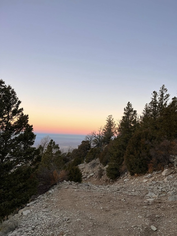
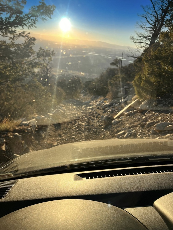
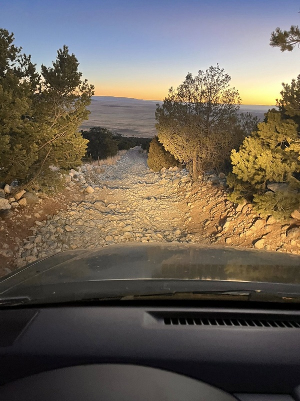
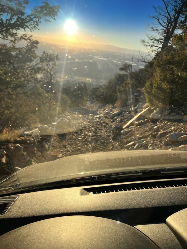
To start, I will say I thought I could do better on the road given the reports I'd read of people driving past 9000 feet and parking at the Jaws rock. As of this writing, some of the trail has been spun out and the holes are pretty big and the rocks are merciless. The road is horrific right from the very start. I have an Xterra Pro4X stock but with off-road mud tires and I was bouncing in 4Low and spitting rocks, bashed my undercarriage and broke my mud guards and that was just to get to 9,000 feet. It took well over an hour to do that because the road is like that from the very bottom. There are places to pull off most off the way, so you can go as far as you feel, but all terrain tires aren't going to work on this road, you need off-road tires and experience. For stock 4x4's with regular tires, be prepared to not get far. I recommend hiking into Lake Como and camping there for the night then doing the hike in the morning. Como has lots of awesome tent spots.
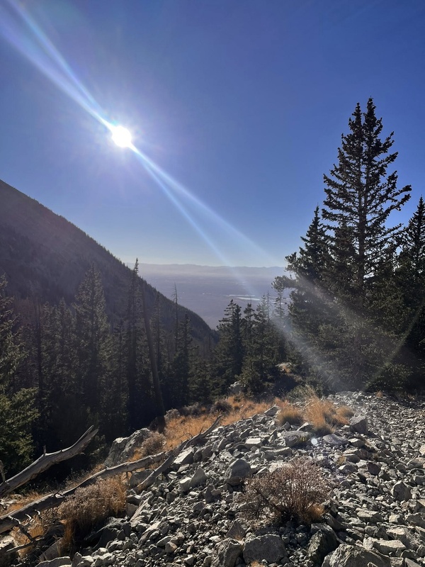
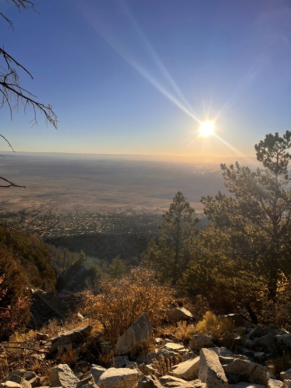
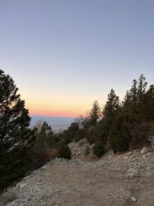
walking up looking behind me
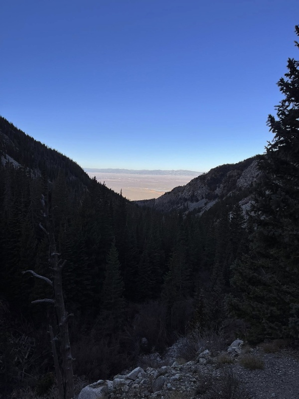
walking up looking behind me
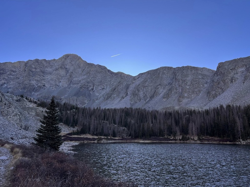
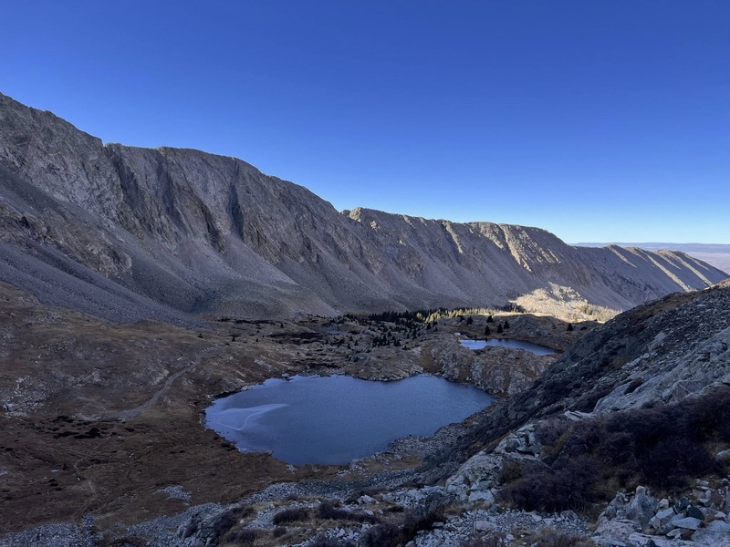
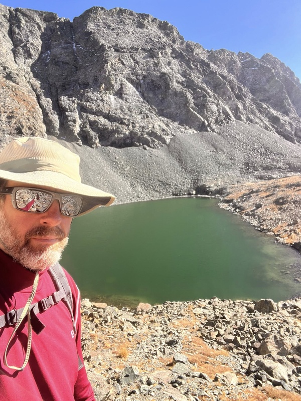
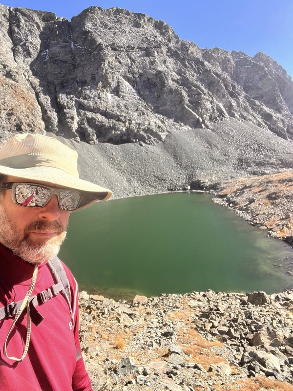
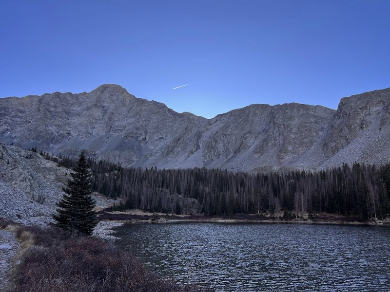
Blanca was my 17th 14er, so I'm a pretty good intermediate hiker. I found a place to park on the road maybe about 9,200' and set off. Even walking the road isn't easy, hah, I'm pretty sure you can walk the road faster than driving it anyway! A couple hours later of steady hoofing I got to Lake Como, it is stunning and gorgeous! I wish I had more time and wished I'd camped here, soooo many great camping spots on all sides of the lake. ....and, there are so many other little lakes above it, also great camping. Going on past Como there are a couple headwalls that make you sweat hard, its not as clear cut as it seems while standing at Como. It's all gorgeous of course though and that's what we're here for!
Como Lake
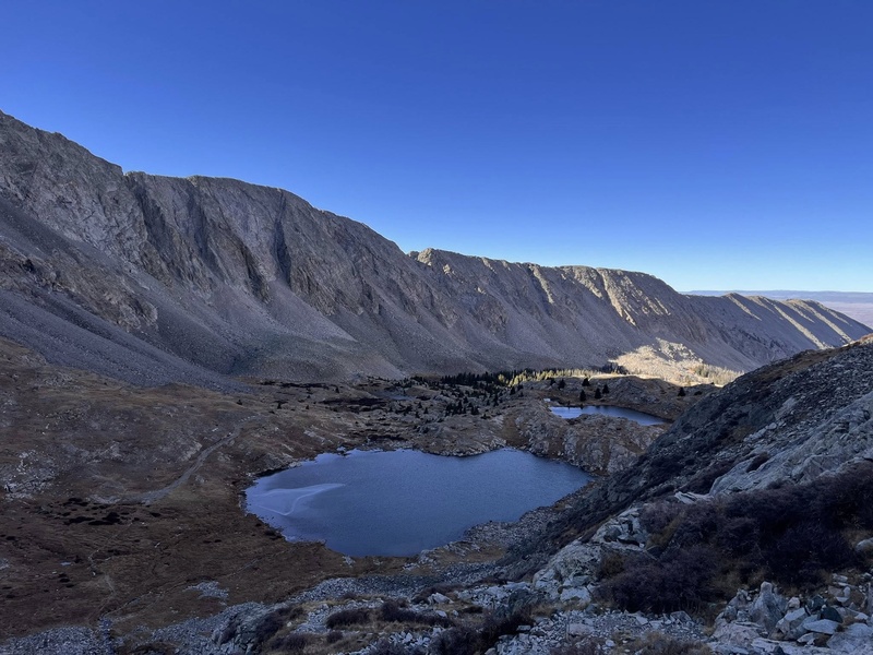
lake above Como
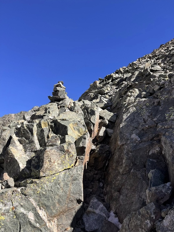
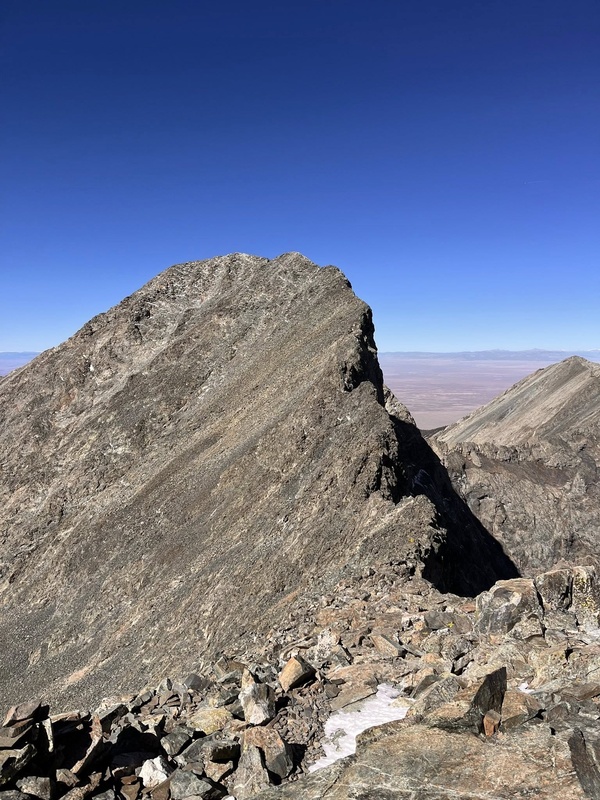
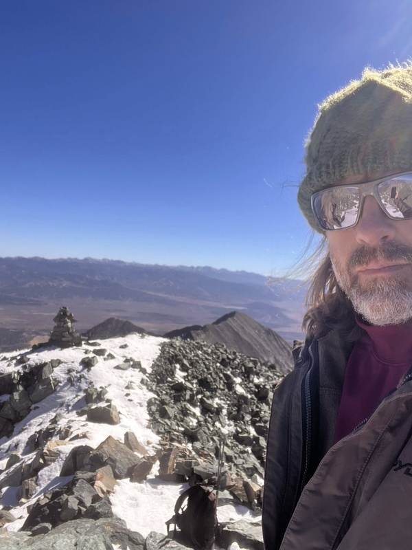
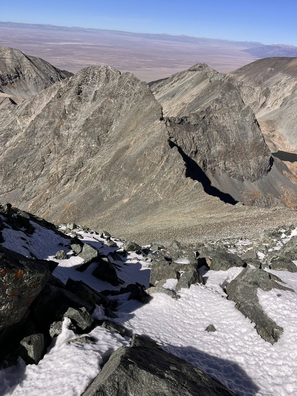
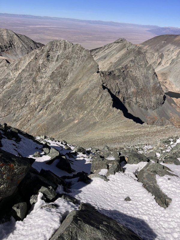
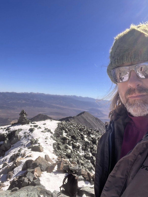
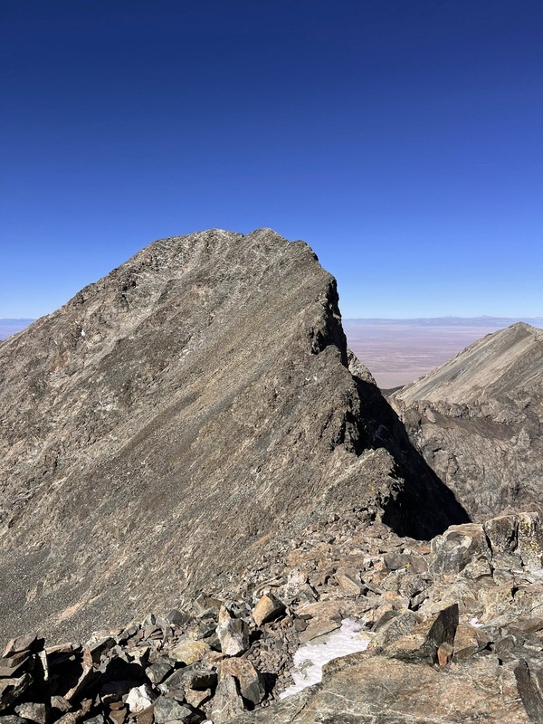
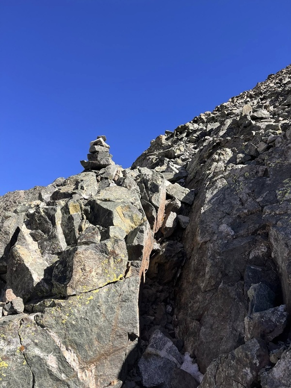
Pay attention to the carnes as you get to the final headwall, with my head down trying to make good time I veered off the trail and had to remind myself to pay attention to the carnes. :) Once up in the saddle, looking at Ellingwood Point, ...jeez. Ellingwood Point looks impossible from here! (but, Blanca probably looks impossible from there.) Anyway its an awesome hike, the last 100 feet to the summit.... I admit, I got scared, it's intimidating and I questioned whether I should do it because I might not be able to get down it. In hindsight, somehow it was easier going down than it was going up. I loved the summit, it seemed special to me amidst the other 17 I've seen, and there were names carved in the rocks from the early 1900's, one from 1908 that the dude must have spent some time up there to chip it in that good.
watch the carnes
looking at Ellingwood Point
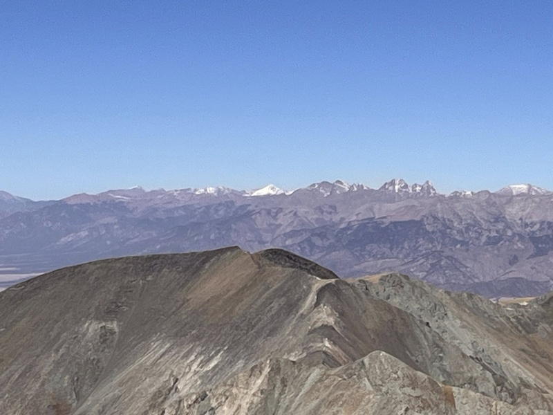
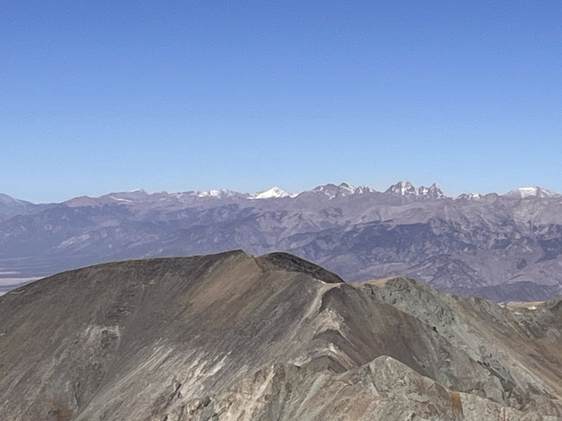
summit!Crestones in the distance
Coming down was super hard, but not as scary as I thought it was going to be. ..and all the while Ellingwood Point is just INSANE looking, majestic and intimidating. .....and Little Bear, jeez, I can't believe lots of crazy people climb that.
back down
As the sun was nice and warm I could hear and see lots of little rocks naturally falling down the sides of the mountain (no danger) lots of Pica, and their were mountain sheep too! (not goats, but sheep!)
small upper lake
It was such a long walk back to the car, again I wished I had camped at Como the first night. Got back to the car and stressed myself into a mess trying to get back down the road without ripping my oil pan off. Ugh. If you have a friend with a side by side/UTV, hire him to give you a ride up for crying out loud!! I got down to the dirt road and checked for oil leaks, thank the heavens there were none.
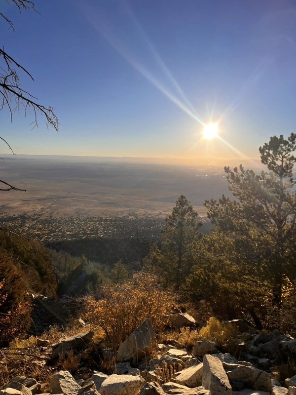
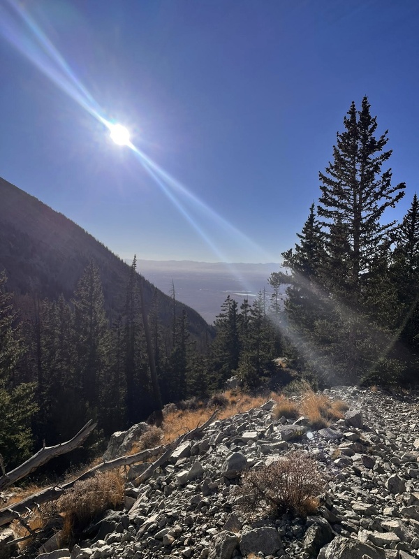
walking back to the car
walking back to the car
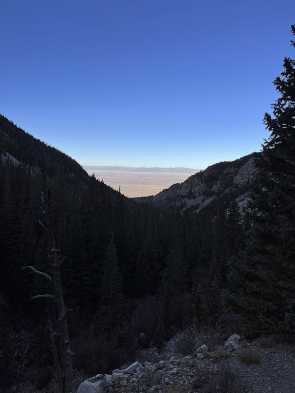
going down
I started walking right before sunrise and got back to the car right as the sun was going down. This was October 21 so the days are getting shorter but I was glad to get to the car before dark. The whole hike I was moving pretty fast and taking only short breaks, it was extreme, for me, a fit 50 year old experienced intermediate hiker. ...all that said it was truly enjoyable and it didn't kill my body, I felt good. I had great luck with my vehicle, the weather, and my fitness. If any of those 3 had been off, I'd have been stuck up there another night. So please, be extra prepared on this one, okay? In my research, I didn't read of too many people saying it was very difficult, but if you're planning to do it in one day, then I'm here to tell you, be extra prepared and be ready to stress yourself crazy on that road, there is no trailhead, and its pretty impossible to gauge how far you'll get, it all depends on how much you're willing to abuse your vehicle. ...again, as stated from me, an intermediate hiker and off-roader.
coming out as the sun goes down
Thumbnails for uploaded photos (click to open slideshow):
Much like you, I did Blanca as a day hike two years ago, and Ellingwood as a day hike last year. Separately, they are each very long, but rewarding, class 2plus day hikes. (Done together as a traverse, I read that it is a tough class 3 day.)
You can do Ellingwood in a day. I don’t recall it being much different from Blanca.
Don't be intimidated by Ellingwood, that traverse is actually pretty easy and if you did Blanca then you'll have no issue with Ellingwood. I like to think of those as "easy" (Ellingwood Point, there are no "easy" 14ers but this one is relatively mild), "intermediate" (Blanca), and "hard" (Little Bear).
The Blanca/Ellingwood traverse is really enjoyable and there is way more room up there than it looks like, great work on a long day and beautiful pictures!
Caution: The information contained in this report may not be accurate and should not be the only resource used in preparation for your climb. Failure to have the necessary experience, physical conditioning, supplies or equipment can result in injury or death. 14ers.com and the author(s) of this report provide no warranties, either express or implied, that the information provided is accurate or reliable. By using the information provided, you agree to indemnify and hold harmless 14ers.com and the report author(s) with respect to any claims and demands against them, including any attorney fees and expenses. Please read the 14ers.com Safety and Disclaimer pages for more information.
Copyright: Route information, text, risk factors, maps, GPX files, charts, photos, 14ers.com-created map imagery, flythroughs, and other content provided in this route description are copyrighted by 14ers.com and may not be copied, reproduced, republished, distributed, modified, or used to create derivative works without prior written permission.
Please respect private property: 14ers.com supports the rights of private landowners to determine how and by whom their land will be used. In Colorado, it is your responsibility to determine if land is private and to obtain the appropriate permission before entering the property.