
| Report Type | Full |
| Peak(s) |
Cronin Peak - 13,872 feet Grizzly Mountain - 13,722 feet Mt. Mamma - 13,672 feet Boulder Mountain - 13,530 feet |
| Date Posted | 10/20/2025 |
| Date Climbed | 10/18/2025 |
| Author | Beda681 |
| Centennials #90/100 - Cronin Peak and Others |
|---|
|
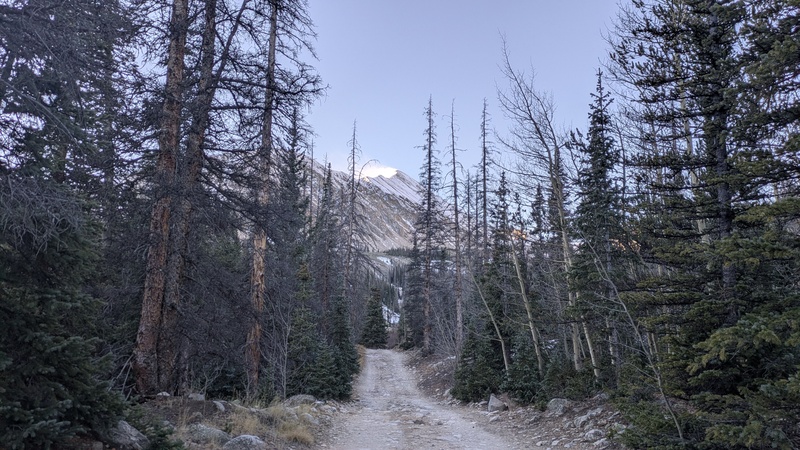
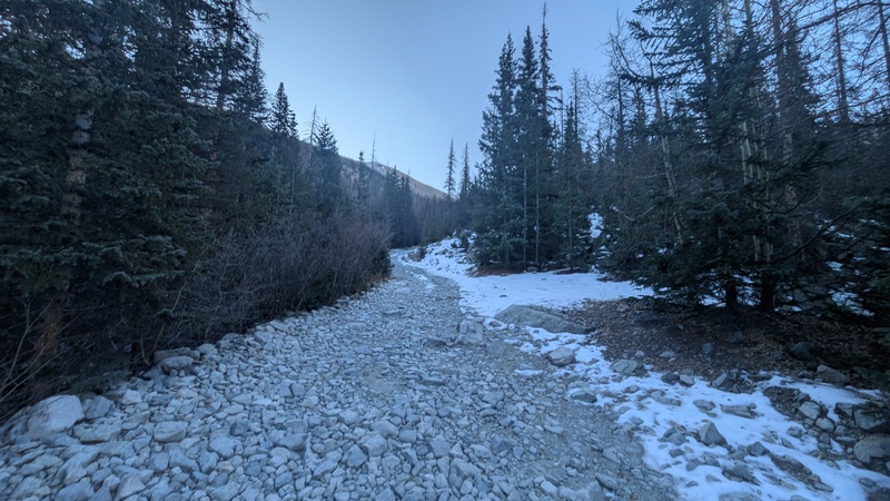
Hi everyone, Martin here. As I work on my final Centennials I figured I could start writing up some trip reports. I originally thought this report and peak #90 would be Thunder Pyramid, but the monsoon shut down an attempt in September. With the weather turning worse and snow falling, I turned my attention to one of my final non-technical Centennials (and the last one that is under a 3 hour drive from Denver), Cronin Peak. I drove out to the Antero road Friday night, originally planning on driving up to around 10,800. Unfortunately, the road was much worse than I remember it and my Grand Cherokee was stopped about 100 yards after the turnoff from the main country road. I ended up camping at the lower parking area, which at least meant the night was a bit warmer. I got going around 7:15 and hiked the 3 miles up the road to the start of Cronin's north ridge. After seeing it in daylight I think my Jeep could make it in theory, but that would require a better driver and I think my hiking speed isn't too much slower than driving up the loose rocks anyway. The winds on Cronin's summit looked quite intimidating at this point. 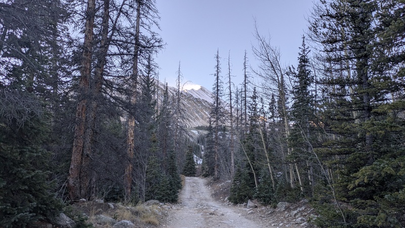
The north ridge route here on 14ers.com has you hike about a mile up from the stream crossing before hiking up the slope to reach the ridge at around 12,500. I wanted to try and hike the entire ridge, so I left the road at around 11,000. The start of the ridge is a bit rough, but there are only a few troublesome spots through some loose talus. 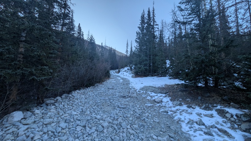
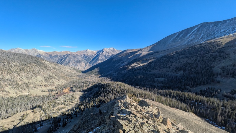
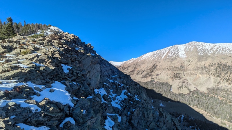
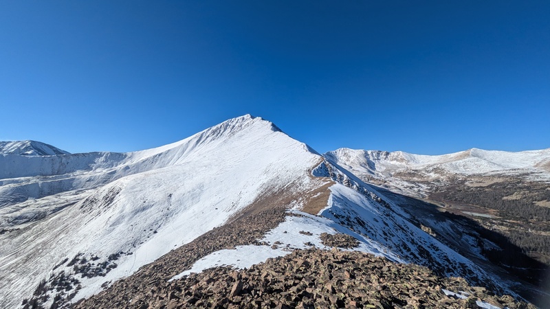
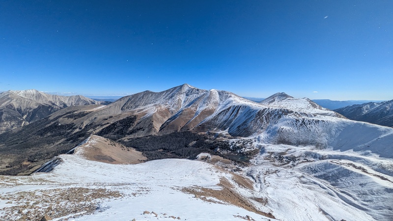
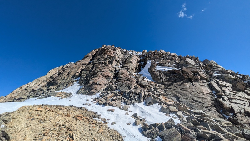
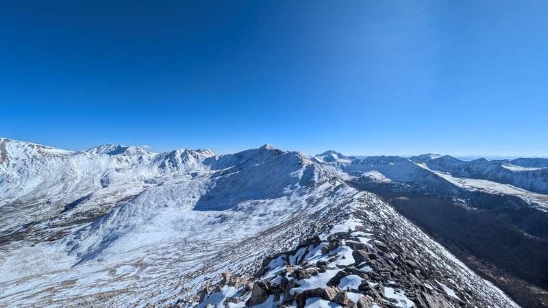
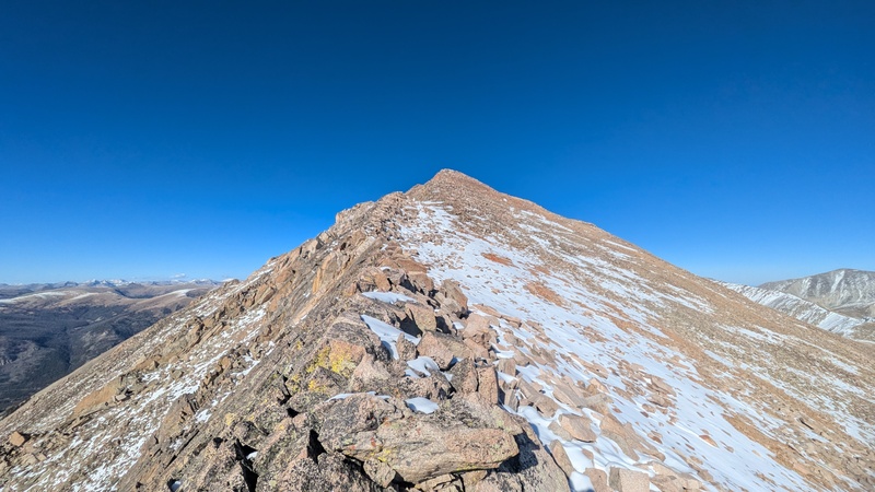
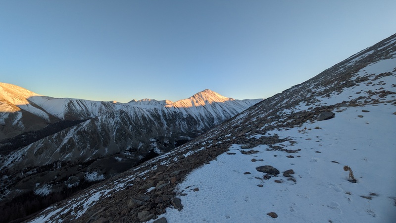
Once I got up to around 12,500, I got a good view of the upper part of the mountain and quickly realized that this would be a bit more of an adventure than I originally thought. There was quite a bit of snow all the way up the ridge and I wasn't super well-prepared. I brought spikes but I crucially forgot my gaiters. I was a bit skeptical about summiting at this point but I pushed on. 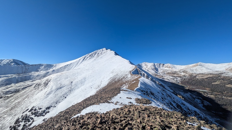
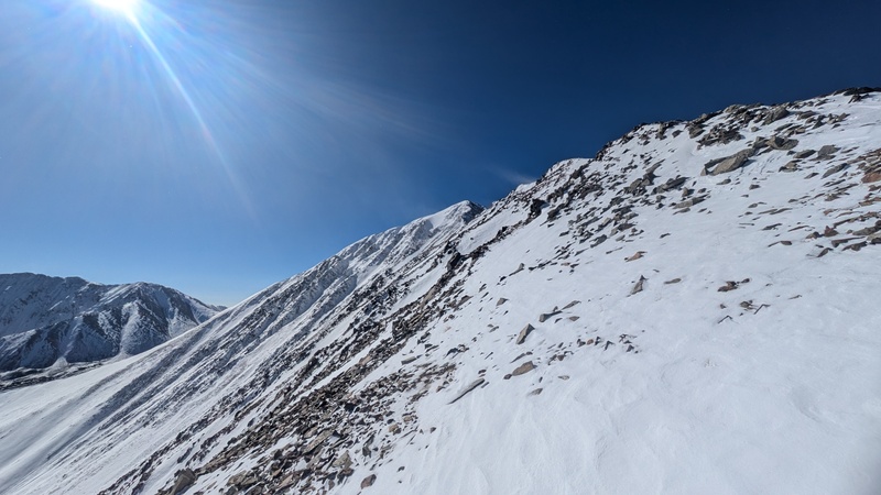
Navigating the upper parts of the ridge required some post-holing through about a foot of snow in some places. Progress was pretty slow but it never got too bad. Despite ~20 mph wind, it was pretty warm and I felt pretty good overall. 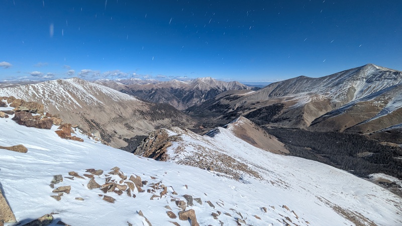
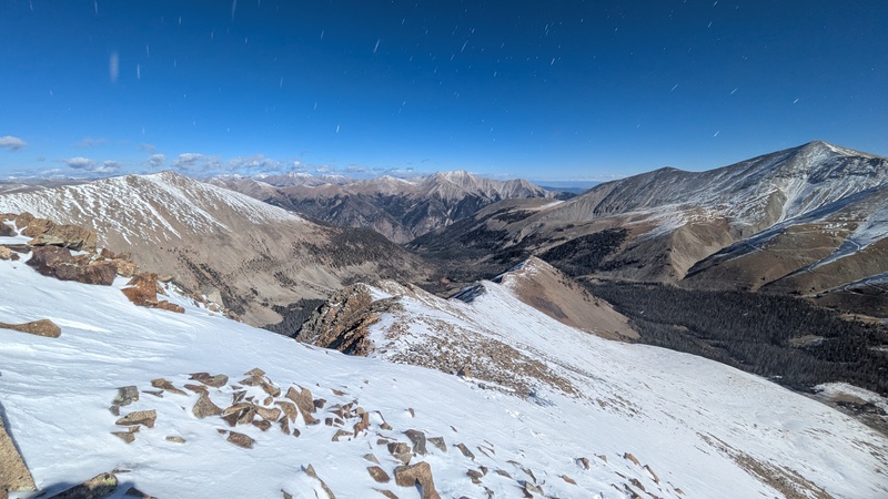
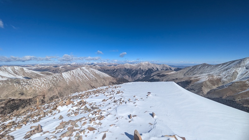
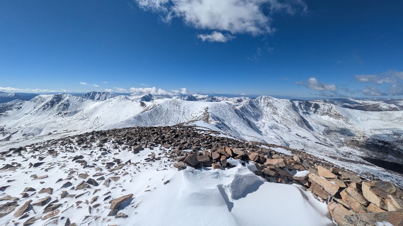
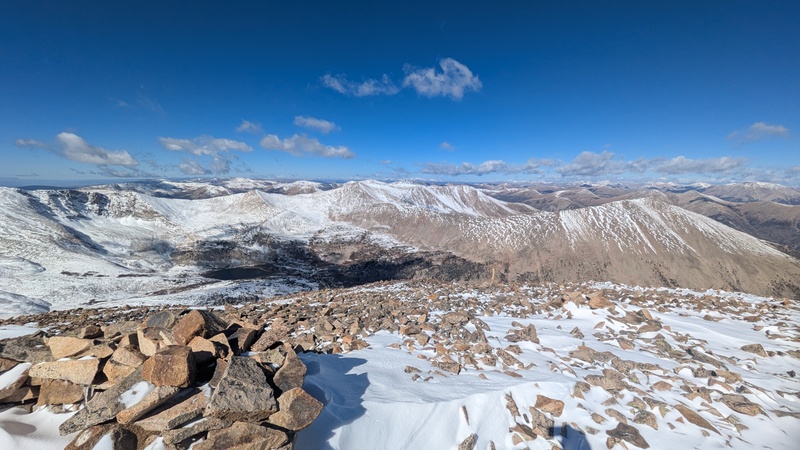
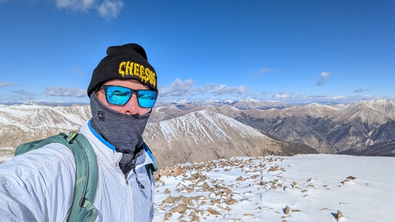
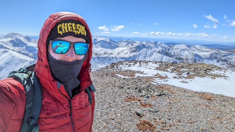
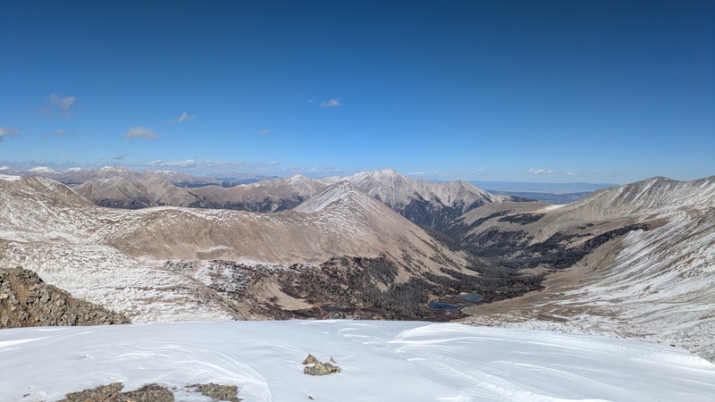
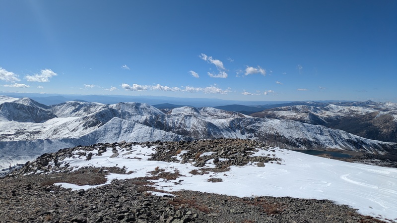
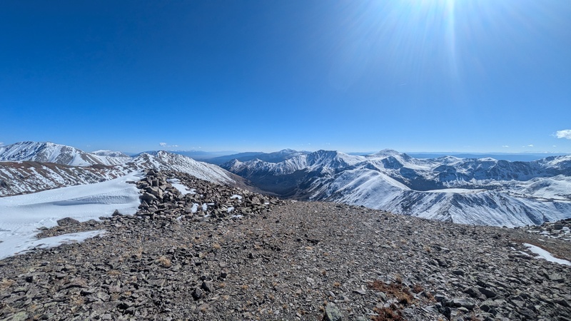
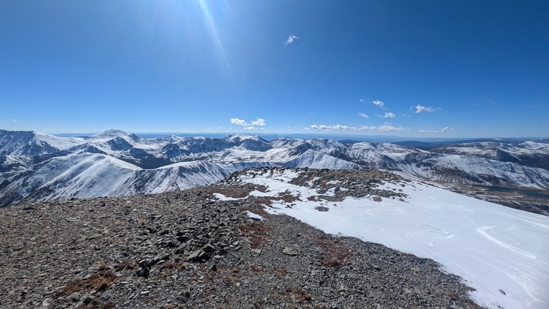
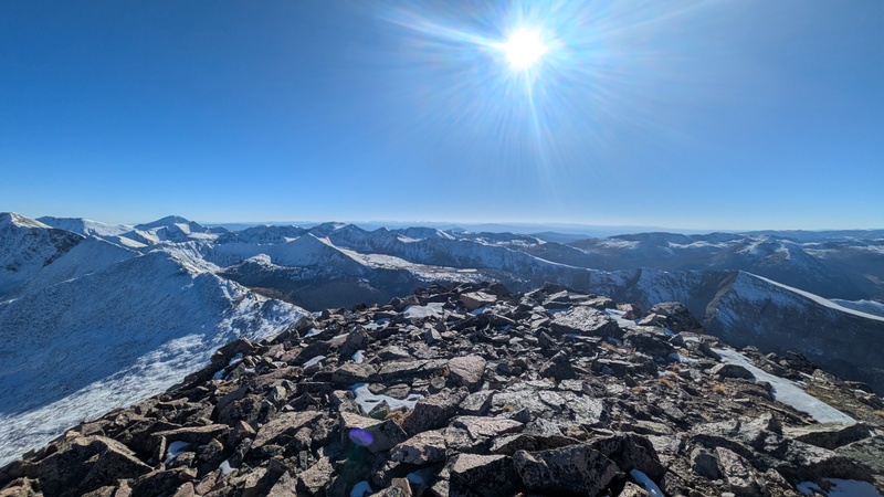
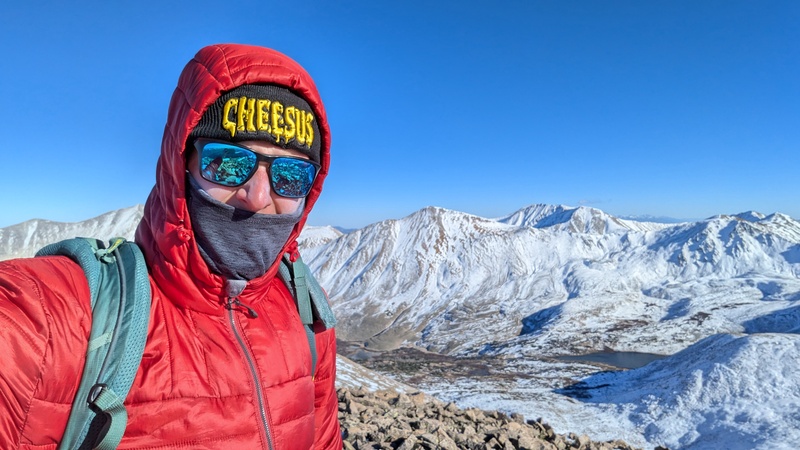
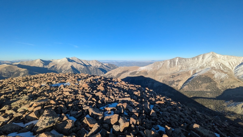
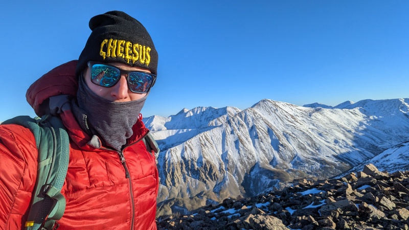
I reached the summit around 4 hours after starting. The wind was quite brutal and I didn't stop for long. The views were gorgeous though and visibilty was great in all directions. 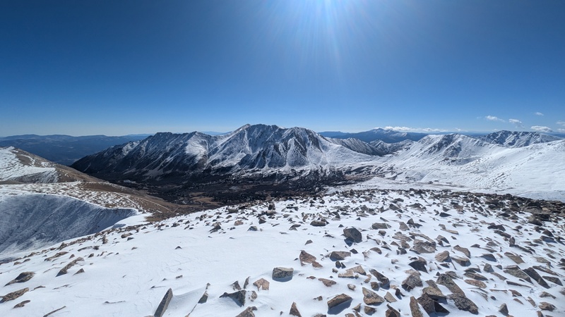
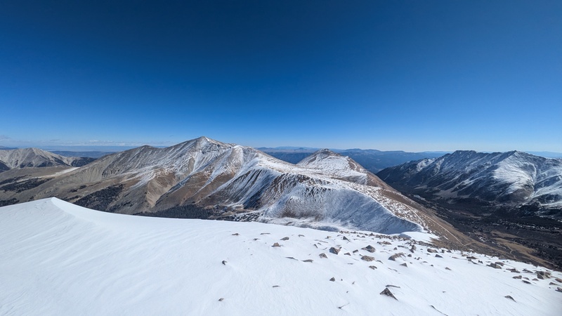
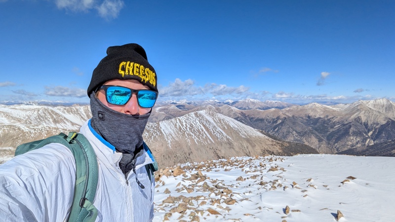
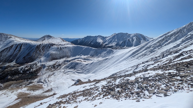
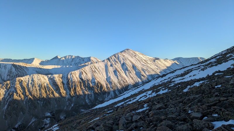
With the weather looking good and me feeling strong, I decided to continue with my original plan to climb the other peaks in the cirque. I definitely underestimated how long this would end up taking me. First on the list was Grizzly Mountain. At one point while scoping this route out I contemplated adding in Cyclone and Carbonate Mountains but in the snowy conditions I knew I didn't have the daylight to pull that off. 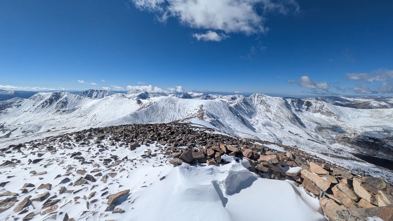
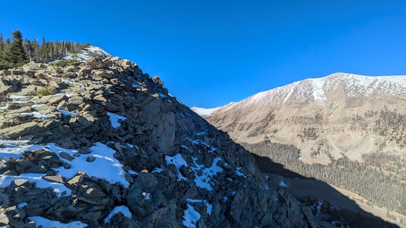
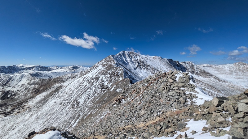
The snow on the way to Grizzly continued to be a bit annoying but I was expecting that. What I was not expecting was a bit of class 3 climbing. The downclimb to the Cronin-Grizzly saddle was surprisingly steep and rocky. I took my time and luckily there wasn't too much snow on the hardest bits. I stayed close to the ridge crest, occasionally dropping a bit to the left side of the ridge. I had to be careful on some loose sections but the crux is mostly solid which was nice. 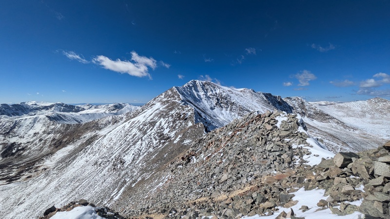
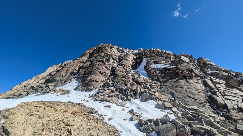
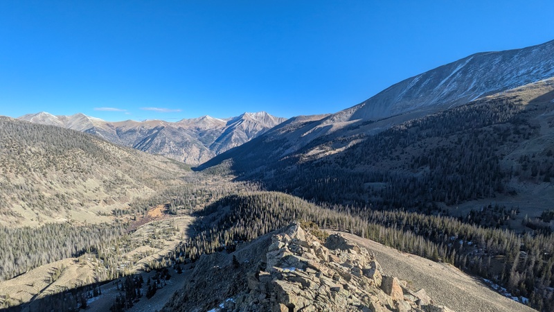
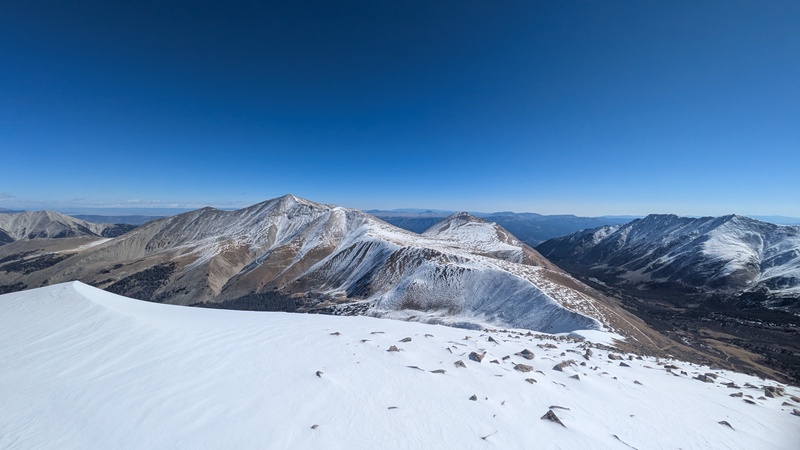
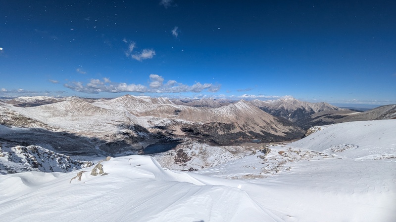
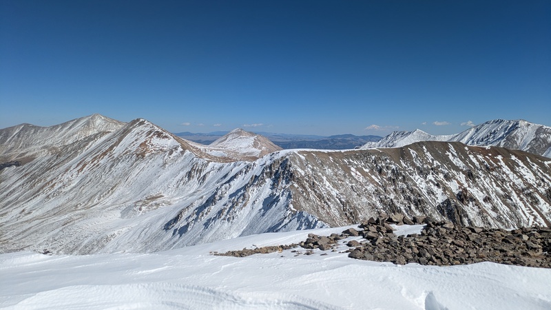
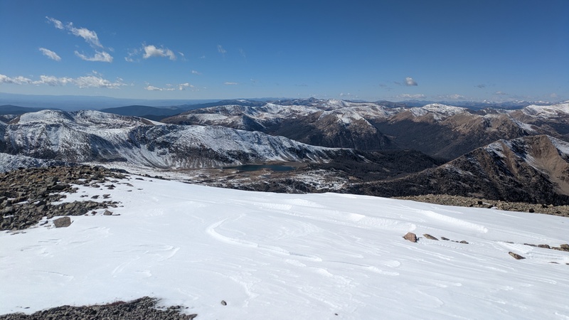
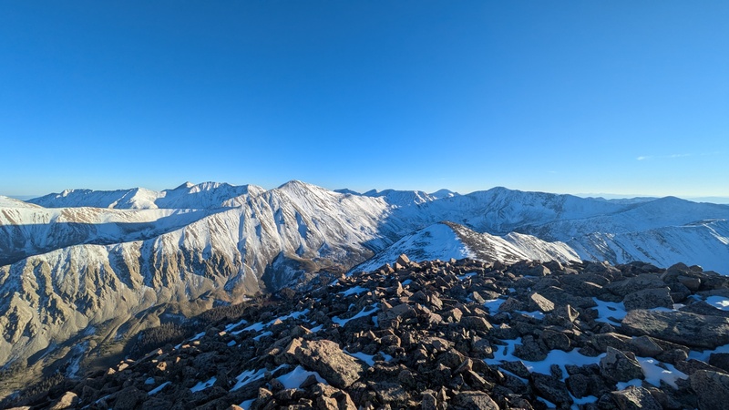
I reached the summit of Grizzly mountain about 2 hours after Cronin. This is a really cool summit and I think it had the best views of the day. 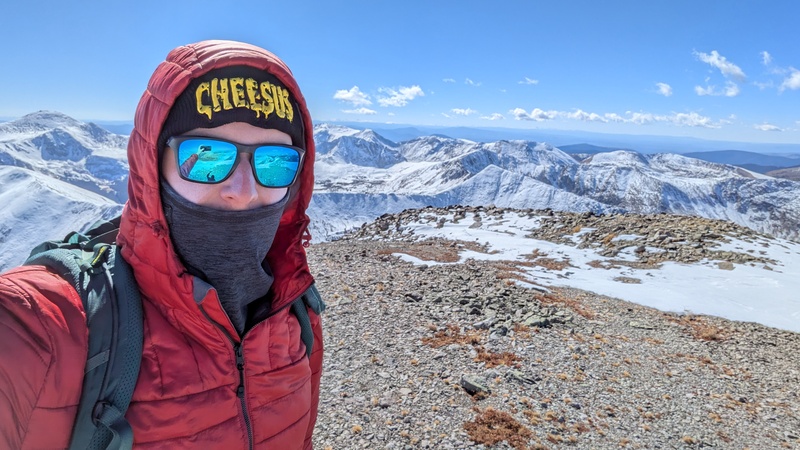
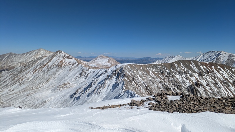
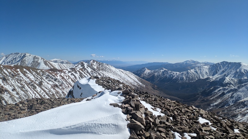
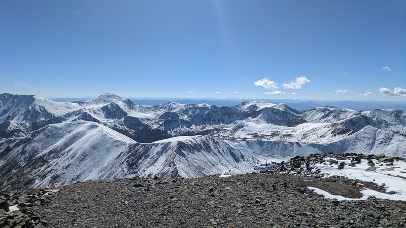
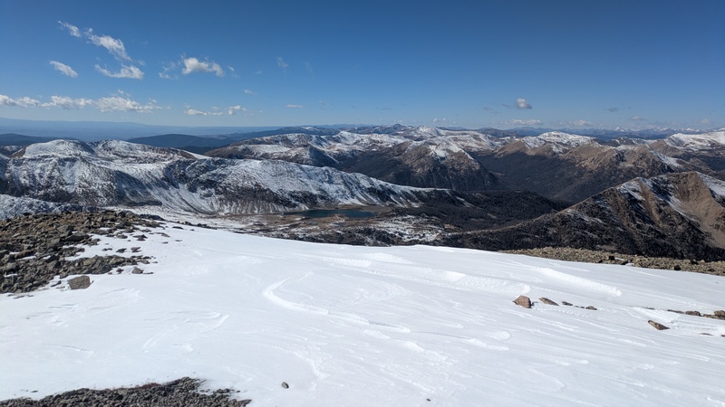
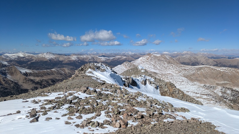
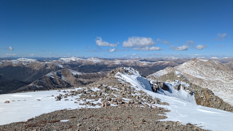
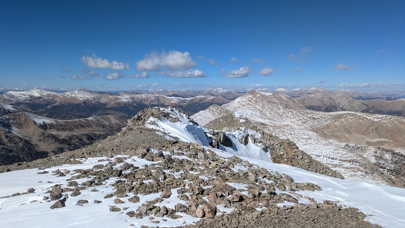
As I had done with a lot of things this day, I underestimated the hike over to Mt Mamma. I was hoping to pick up the pace a bit due to there being less snow. This ended up being true, but the ridge is quite tedious and loose talus meant I could never really get into a groove. It was another 2 hours over to the summit and I was starting to get pretty tired. I did really enjoy scrambling on a little knife edge just below the summit. It is probably quite easy to bypass on the right side of the ridge but I didn't want to deal with more snow that I had to. 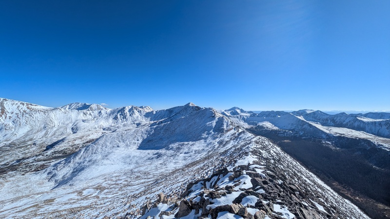
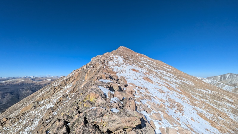
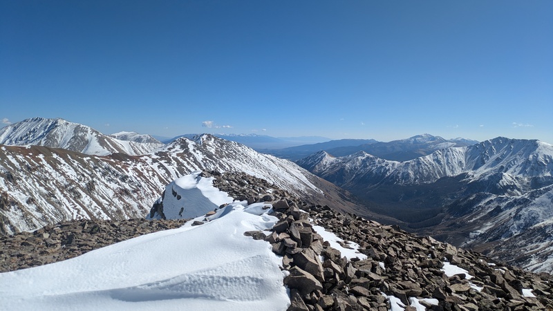
Mt Mamma is another very pretty summit. I've seen some inconsistencies on maps as to where the actual summit is, so I was happy to find out the summit was the first major point I reached. This was also the only peak of the day where I found a register. Sadly I did not find a writing utensil in the register. 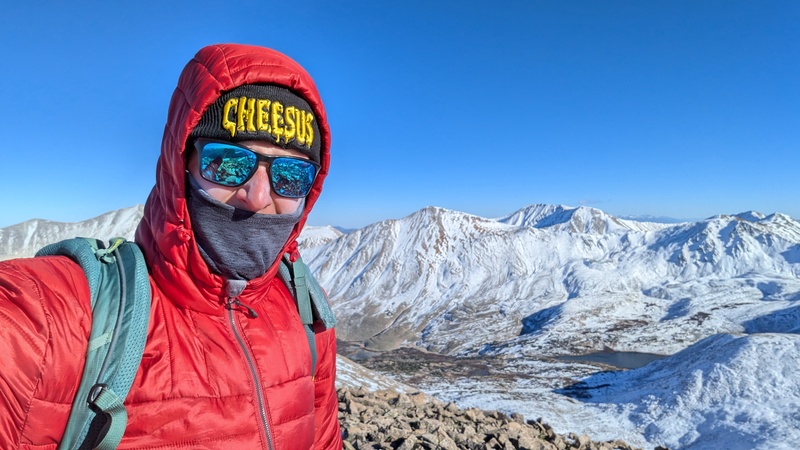
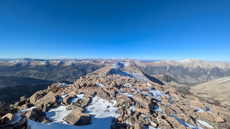
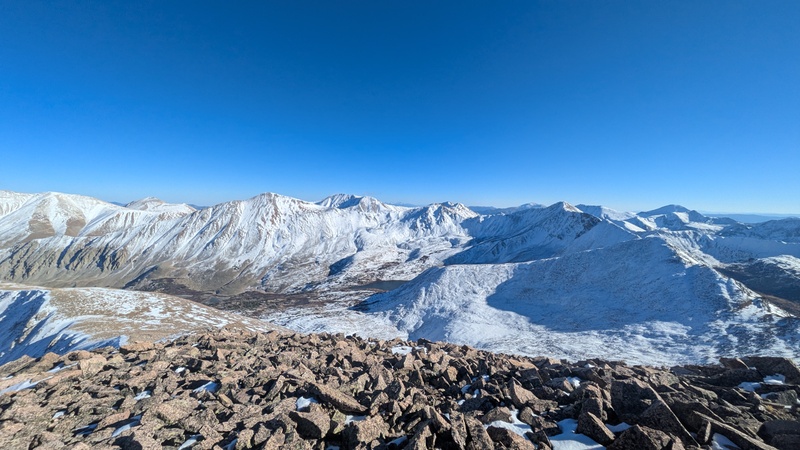
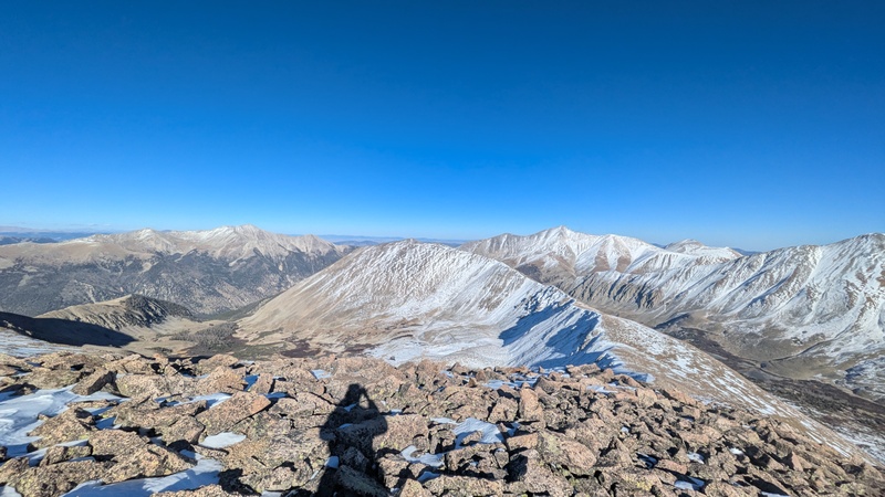
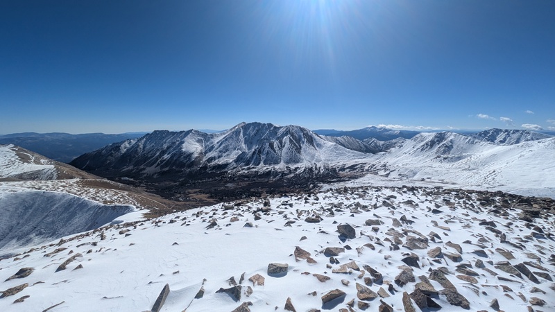
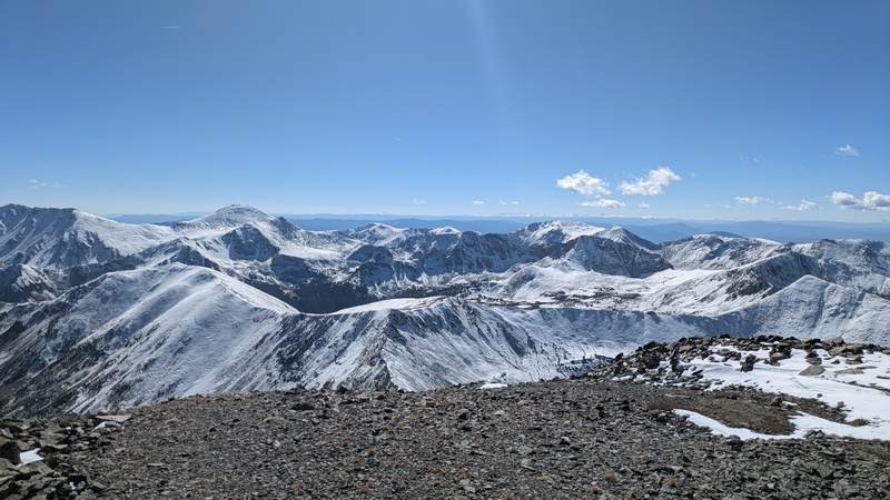
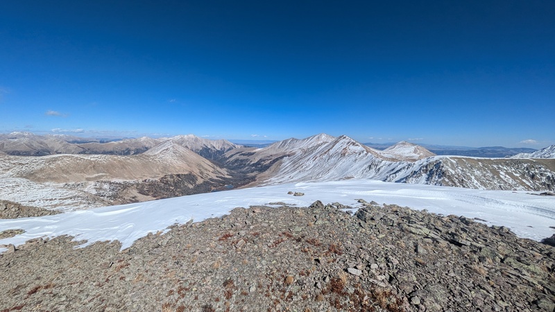
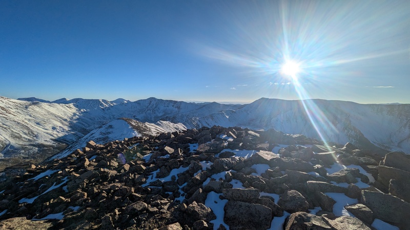
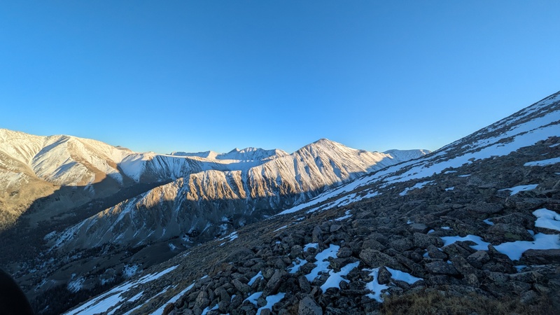
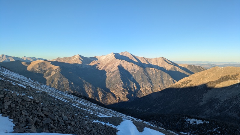
After refueling I started trudging over to Boulder Mountain, the final peak of the day. Fatigue started to hit me hard on this section, and the dropping tempertures didn't help. This was the easiest terrain I had been on since leaving the road though, which made things easier. It took about an hour and a half to get over there, just in time to catch some lovely evening light. 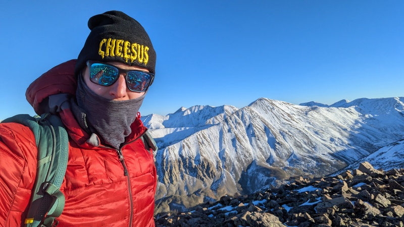
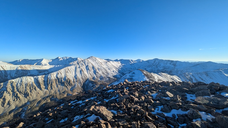
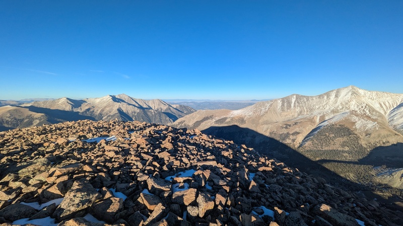
I was very happy to have all of the ascending behind me, as I was really starting to feel tired. I didn't stop for long though because I wanted to make sure to get down to the Boulder Mountain road before dark. The sunset on the way down was gorgeous. 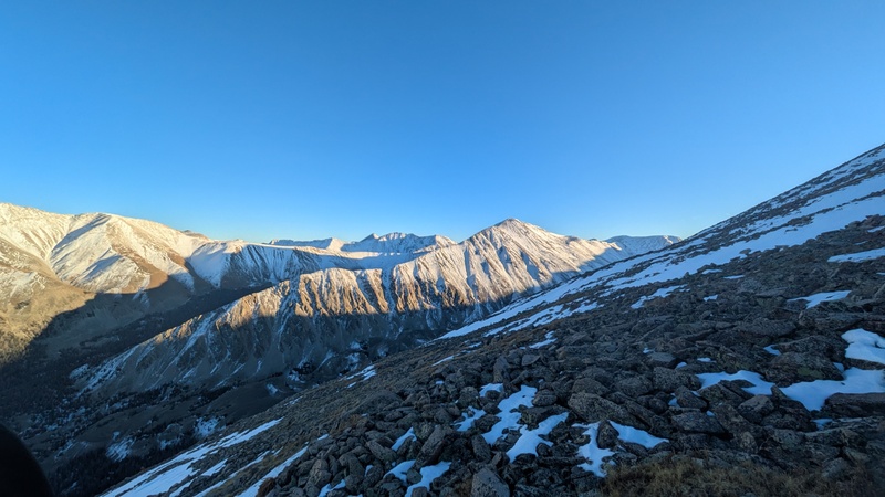
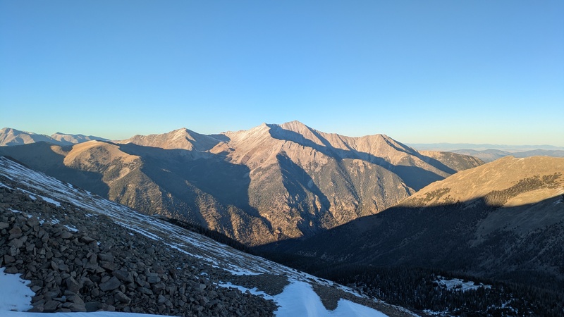
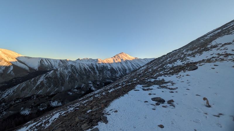
Reaching the road was a relief as I could finally move at a decent pace. I sort of zoned out for the last 5 miles down to the car, especially once it got dark. 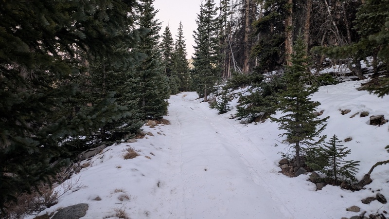
This was one of my harder single days in the mountains but it was quite awesome. I am always caught off guard by how much harder things are in late season conditions, it becomes so hard to guess how long anything will take. Feels great to have another Centennial down, this was #4 this year (after Huerfano, California, and Vermillion). Stats according to Garmin Instinct 2: Splits: Thumbnails for uploaded photos (click to open slideshow): 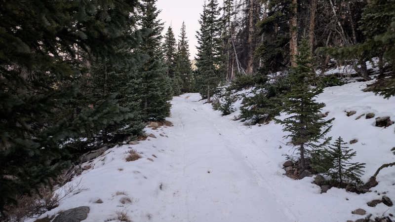
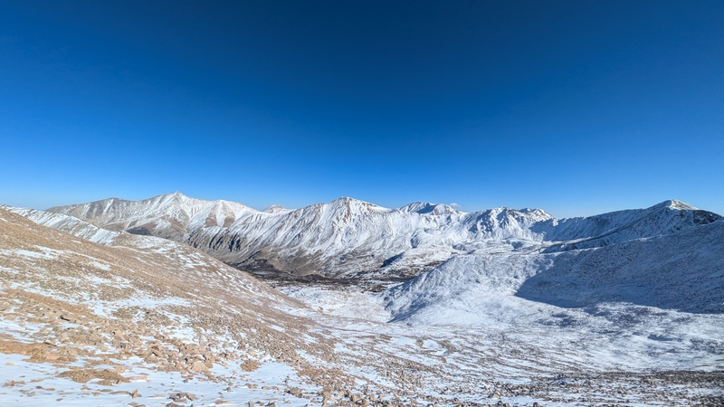
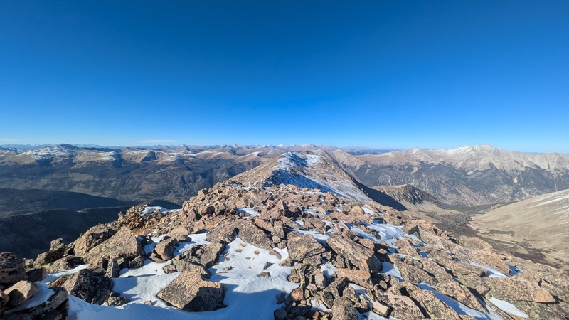
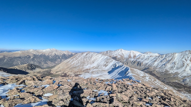
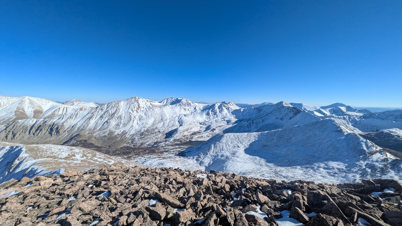
|
| Comments or Questions |
|---|
|
|
Caution: The information contained in this report may not be accurate and should not be the only resource used in preparation for your climb. Failure to have the necessary experience, physical conditioning, supplies or equipment can result in injury or death. 14ers.com and the author(s) of this report provide no warranties, either express or implied, that the information provided is accurate or reliable. By using the information provided, you agree to indemnify and hold harmless 14ers.com and the report author(s) with respect to any claims and demands against them, including any attorney fees and expenses. Please read the 14ers.com Safety and Disclaimer pages for more information.
Copyright: Route information, text, risk factors, maps, GPX files, charts, photos, 14ers.com-created map imagery, flythroughs, and other content provided in this route description are copyrighted by 14ers.com and may not be copied, reproduced, republished, distributed, modified, or used to create derivative works without prior written permission.
Please respect private property: 14ers.com supports the rights of private landowners to determine how and by whom their land will be used. In Colorado, it is your responsibility to determine if land is private and to obtain the appropriate permission before entering the property.


