Download Agreement, Release, and Acknowledgement of Risk:
You (the person requesting this file download) fully understand mountain climbing ("Activity") involves risks and dangers of serious bodily injury, including permanent disability, paralysis, and death ("Risks") and you fully accept and assume all such risks and all responsibility for losses, costs, and damages you incur as a result of your participation in this Activity.
You acknowledge that information in the file you have chosen to download may not be accurate and may contain errors. You agree to assume all risks when using this information and agree to release and discharge 14ers.com, 14ers Inc. and the author(s) of such information (collectively, the "Released Parties").
You hereby discharge the Released Parties from all damages, actions, claims and liabilities of any nature, specifically including, but not limited to, damages, actions, claims and liabilities arising from or related to the negligence of the Released Parties. You further agree to indemnify, hold harmless and defend 14ers.com, 14ers Inc. and each of the other Released Parties from and against any loss, damage, liability and expense, including costs and attorney fees, incurred by 14ers.com, 14ers Inc. or any of the other Released Parties as a result of you using information provided on the 14ers.com or 14ers Inc. websites.
You have read this agreement, fully understand its terms and intend it to be a complete and unconditional release of all liability to the greatest extent allowed by law and agree that if any portion of this agreement is held to be invalid the balance, notwithstanding, shall continue in full force and effect.
By clicking "OK" you agree to these terms. If you DO NOT agree, click "Cancel"...
After spending Labor Day weekend tagging 12 ranked 13ers in three days around Beartown and Silverton, the idea of climbing just one peak felt almost suspiciously easy.
Cow Benchmark is often tacked onto a circuit of five other peaks on Engineer Pass, but that detour adds five extra miles to an otherwise tidy loop. We decided it deserved its own outing via the excellent Horsethief Trail. Consider this a formal proposal for Cow Benchmark’s excommunication from the Engineer Pass peaks.
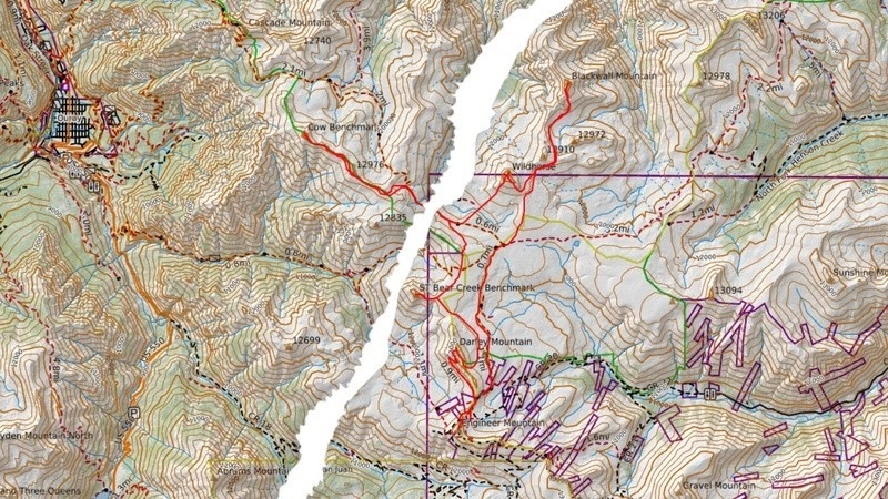
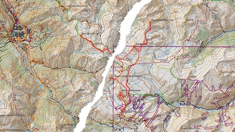
We had to tear the map, too.
Getting There
Step one was simply reaching the trailhead. We fortified ourselves with a half-dozen scrap cookies from Mouse’s and drove north of Ouray to County Road 14 (Dexter Creek Road). The road to the lower trailhead is supposedly 2WD, but after a week of heavy rain it was riddled with washouts and potholes. Passable in a sedan? Perhaps, but far more comfortable in an SUV. At Dexter Creek Trailhead, a sign declared: Passenger vehicles not permissible 100 ft ahead. Those without 4WD can park here and walk the road, adding 2.5 miles and 650 feet of gain roundtrip.
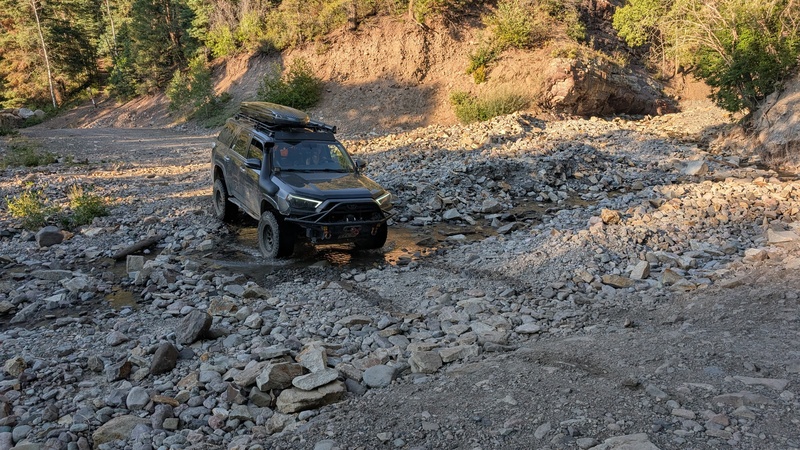
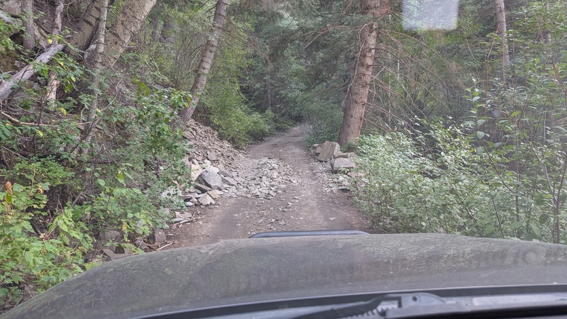
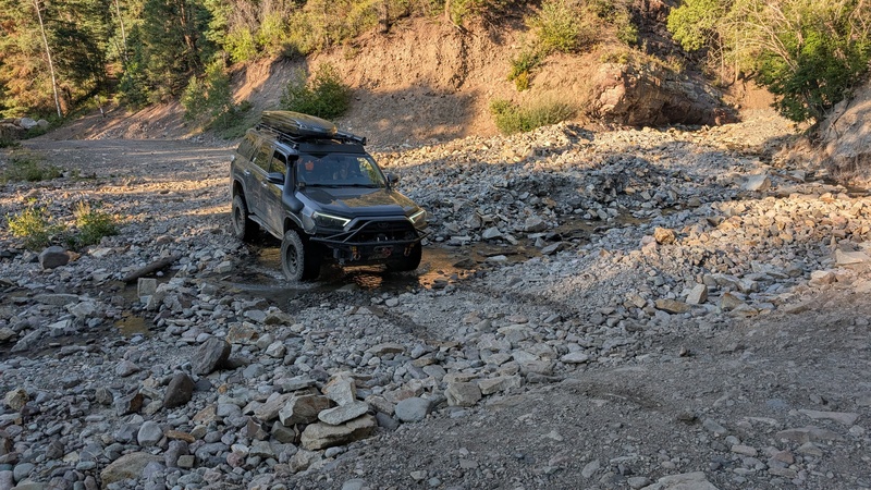
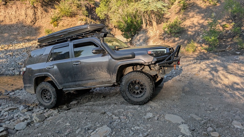
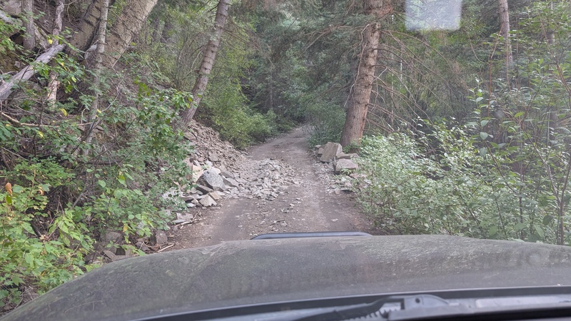
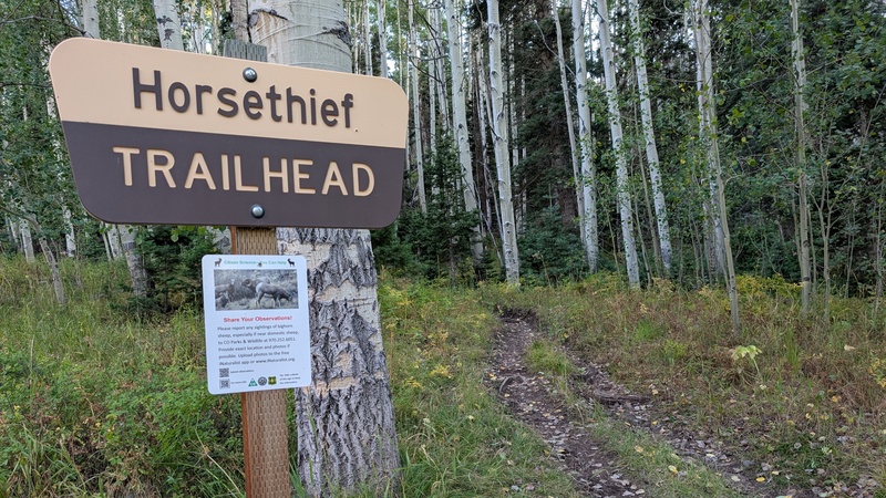
The first obstacle was the creek crossing - currently little more than a puddle, though the wide debris field made it clear this thing rages during spring runoff. A steep ramp out of the creek led us to a short section where a path had been cleared through a small rockslide, requiring one wheel up on a pile of rocks while more loomed overhead. Beyond that, the road stayed steep, narrow, and rocky but otherwise free of drama as it climbed steadily to the Horsethief Trailhead.
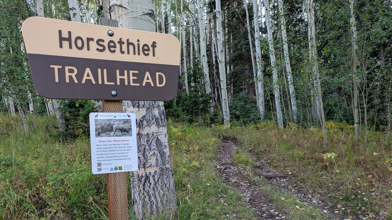
Parking at the trailhead was limited, with room for maybe ten vehicles and no flat spots. We debated retreating to a dispersed site we’d noticed on the way up, but in the end opted to stack rocks under the 4Runner’s tires until it was level enough for a decent night’s sleep.
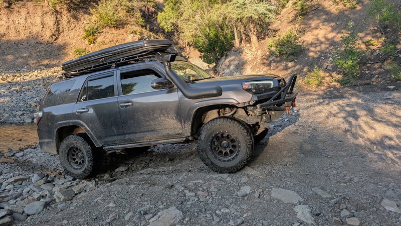
Putting my snorkel to good use.The steep exit from the creek crossing.Small rockslide in the road.
The Climb
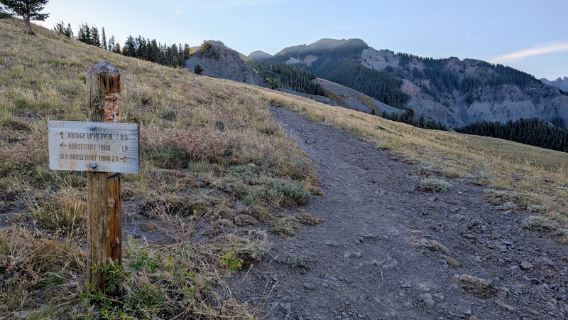
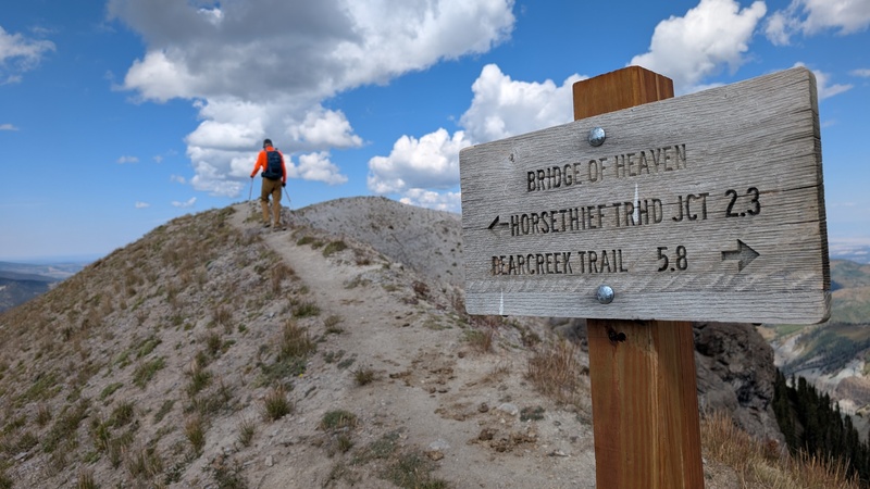
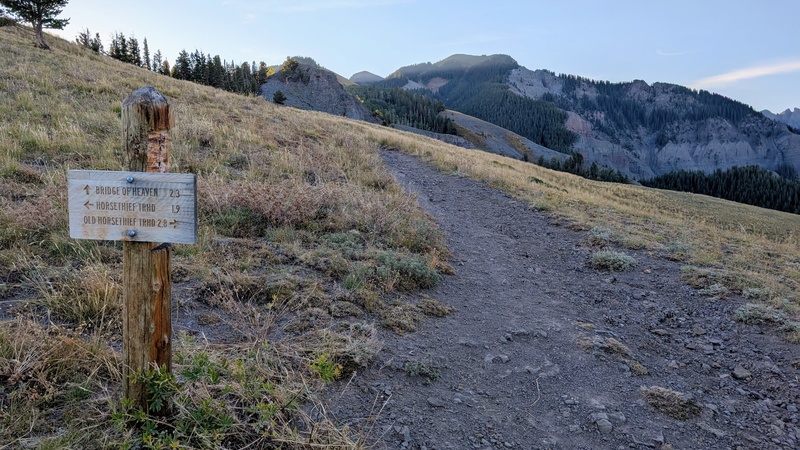
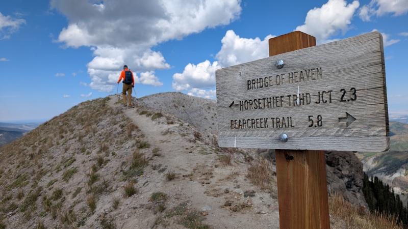
We set off at 6:45 the next morning, following the trail as it wound upward through aspen forest. In a few weeks, this stretch would be glowing gold with fall color; a month earlier it would have been bursting with wildflowers. Having timed it for neither, we had to settle for simply enjoying the quiet climb. At 1.8 miles, we reached a junction with Old Horsethief Trail and followed the sign toward Bridge of Heaven.
The horse thieves have been absent since the late 1800s, but the horse poop remains.Junction of the Horsethief Trails.
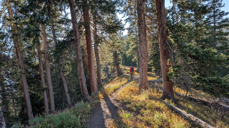
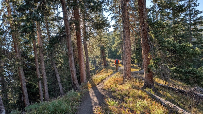
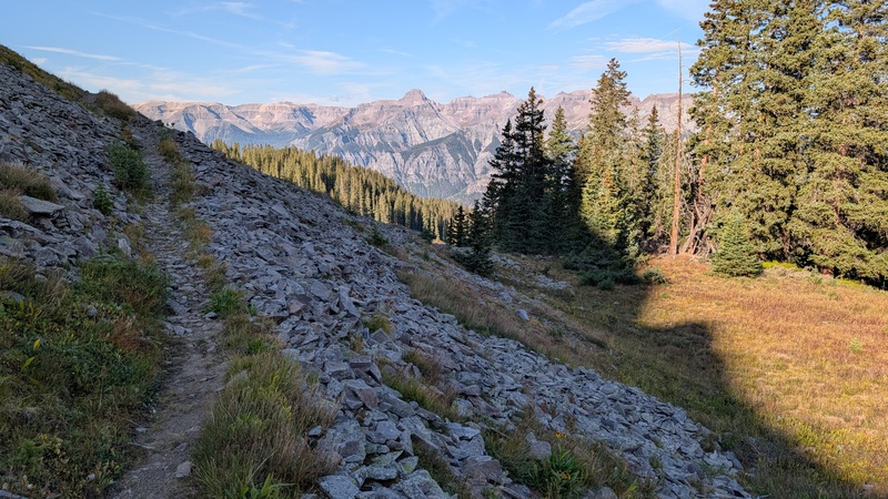
Corbett Ridge and Whitehouse Mountain appeared first on the skyline, quickly reinforced by Mt. Sneffels and the Yankee Boy Basin summits. But the pièce de résistance came after two more miles of trail and a final set of switchbacks that brought us to the Bridge of Heaven, perched high on Cascade Mountain’s ridge.
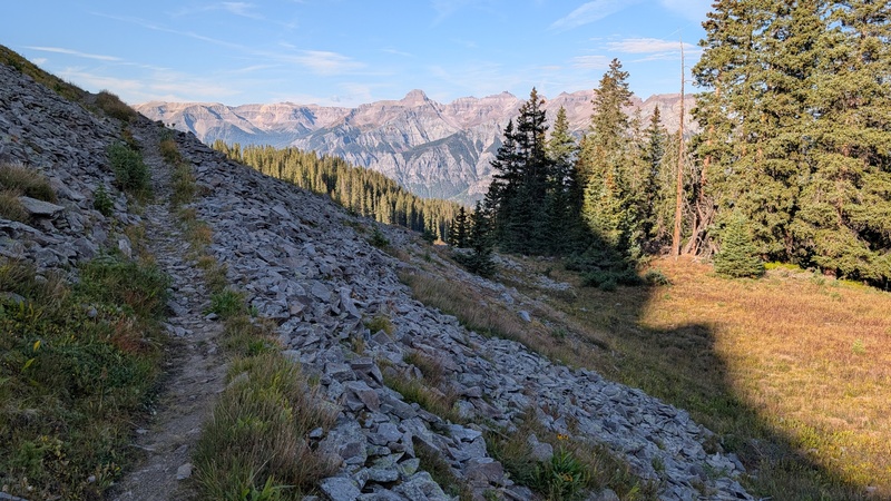
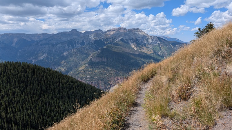
Trading aspens for pines as the trail climbed higher.The Sneffels Range kept us company all morning.Taking the short spur trail out to the viewpoint.
Heaven, as most imagine it, floats above fluffy white clouds. Short of an inversion rolling in, that wasn't happening today. Still, the views were divine, and Cow Benchmark was now in sight - though stubbornly distant. We hoped the trail would carry us there as efficiently as it had to “Heaven.”
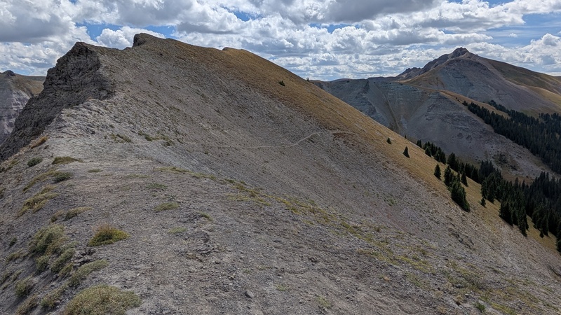
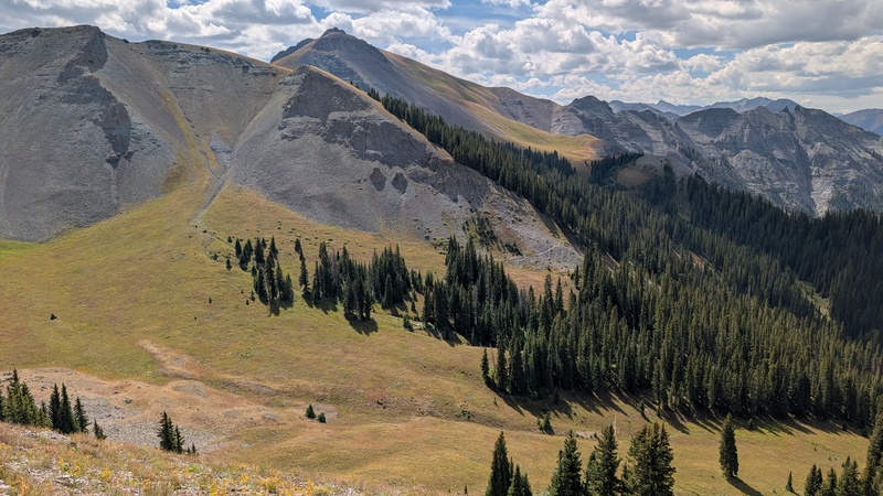
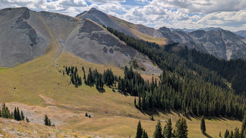
From the Bridge, the route traversed across Cascade’s south face before zigzagging 500 feet down into a drainage. From there, it skirted the southwest shoulder of UN 12,741 on its way toward Cow Benchmark’s saddle. As we drew near, we spotted a lone hiker silhouetted on the northwest ridge.
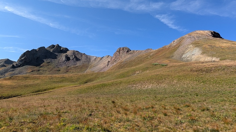
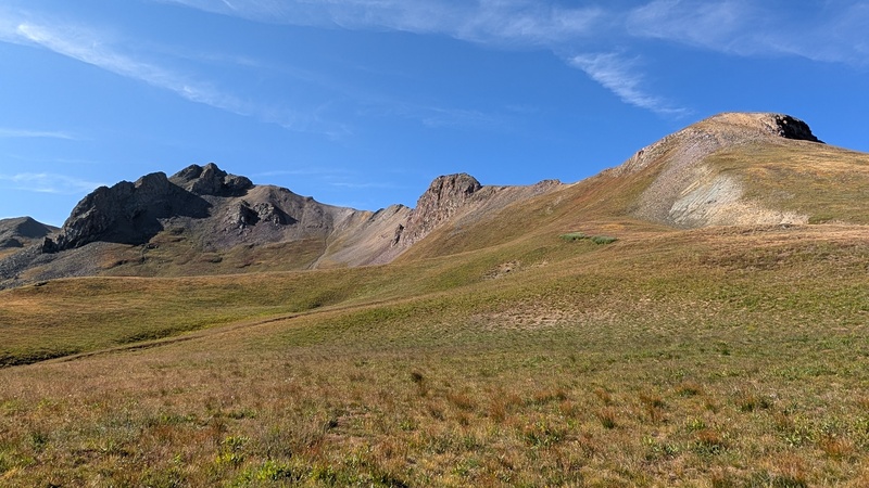
Cascade Mountain left, Cow Benchmark right.The trail can be seen crossing the clearing in the center of the photo.
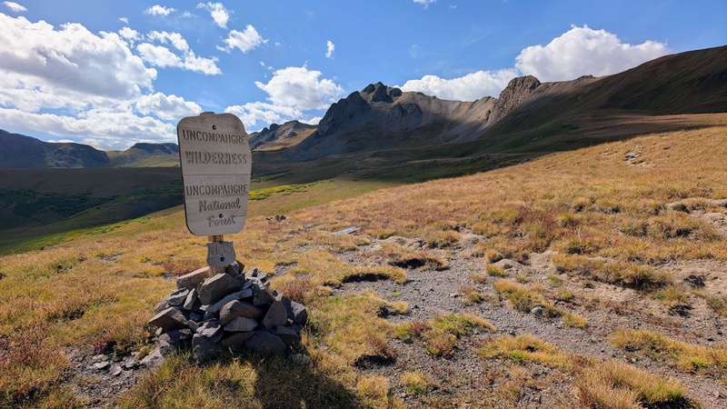
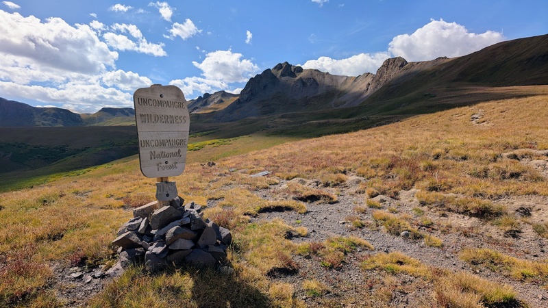
A wilderness sign stood at the saddle, where we paused to assess our options. The ridge featured two bumps: the first where our mystery hiker was still laboring, and a second nastier-looking tower we dubbed the Calf. Given its uncertain difficulty, we aimed for the low point between it and Cow Benchmark instead.
This is your sign to turn south.From L to R: Cow Benchmark, "the Calf," and a nondescript ridge bump.
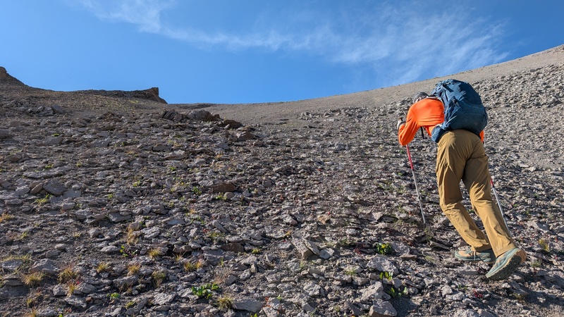
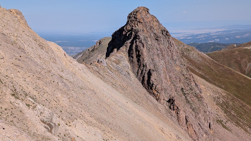
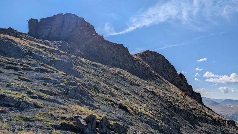
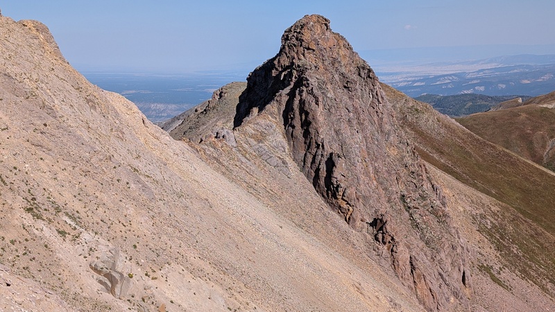
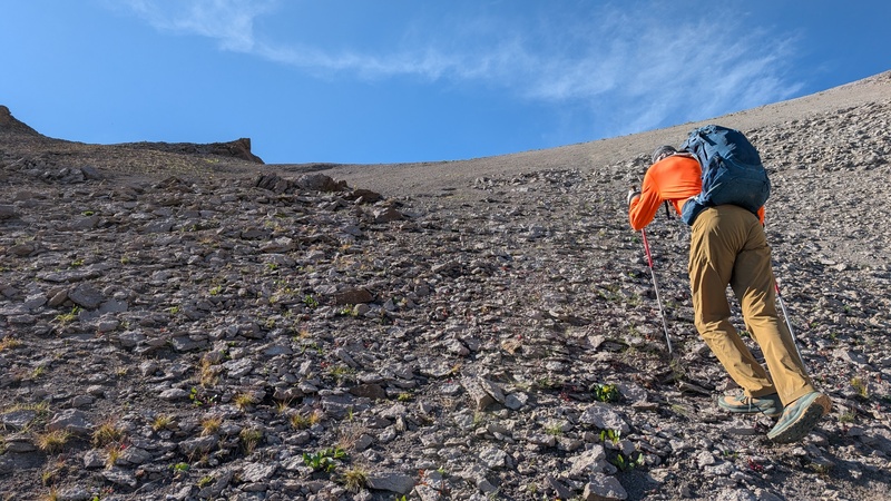
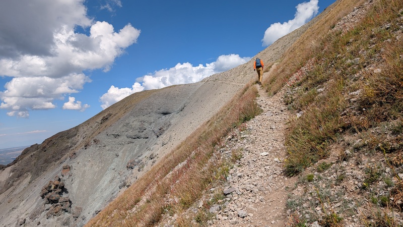
The climb began on steep grass, which soon turned into loose dirt studded with rocks. From higher up, a glance at the Calf’s south side confirmed our choice - it looked like the easiest descent involved a rope.
Grinding up the scree slope.The imposing south side of the Calf.
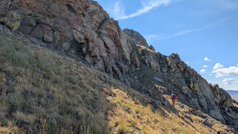
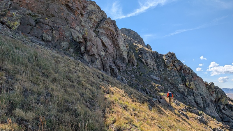
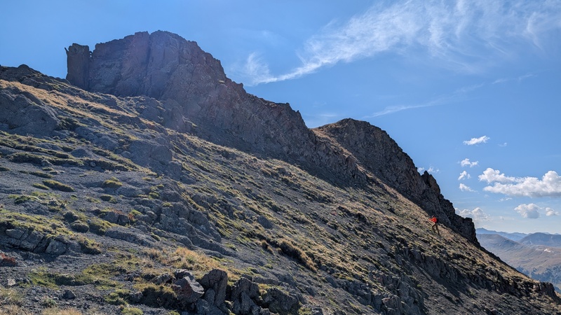
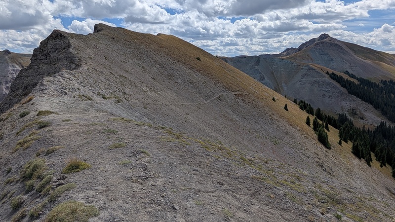
Once on the ridge, a faint path cut through colorful bands of broken shale, giving way to patchy grass and fine black volcanic scree. A small cliff band forced us into one of two obvious black gullies; we chose the righthand one. Above it, the summit block resolved into two high points separated by a grassy strip that offered easy passage to the top. The left-hand point was the true summit.
Below two weaknesses in the cliff band.High on the moo-tain - had to sneak in at least one cow pun!
The Summit
At last, the top.
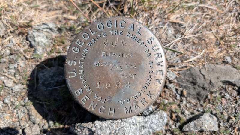
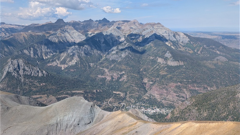
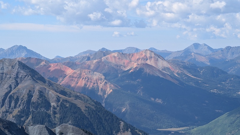
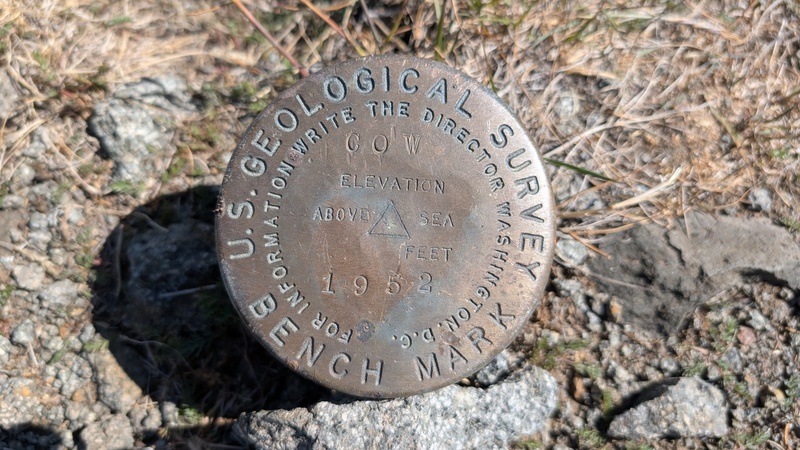
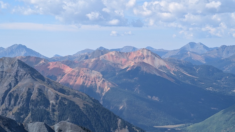
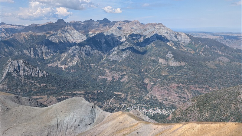
A weathered benchmark disk marked the summit, with Ouray far below and Red Mountain screaming in iron oxide to the south. To the northeast rose familiar shapes in the Cimarrons: Courthouse, Precipice, Coxcomb, El Punto, Wetterhorn, and Uncompahgre. We’d climbed several of those last month, and it was fun to trace our lines across their ridges from this new perspective. From there our gaze shifted east to the Engineer Pass 13ers. They'll make a fine return trip someday.
I wonder if anyone actually writes the director?Ouray from above.They say Red Mountain is somewhere around here. Let me know if you spot it.
We lingered for views, then retraced our steps. Plunge-stepping the scree took a fraction of the time the ascent had, and after shaking rocks from our shoes we rejoined the trail.
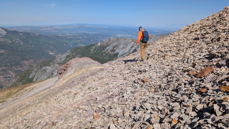
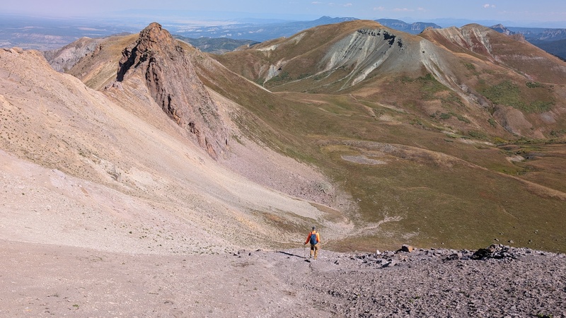
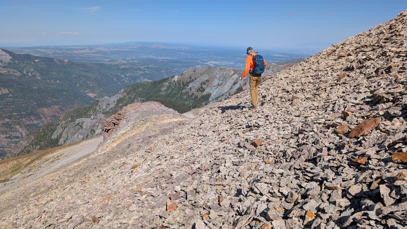
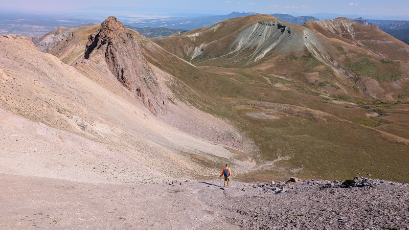
Traversing talus on the upper ridge, we skirted the bump to the right.Dropping off Cow Benchmark's ridge.
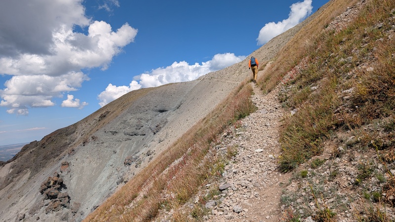
The return to the Bridge of Heaven was mercifully gentler than expected, its switchbacks easing us back up while patchy clouds kept the sun at bay. Along the four-mile stretch back, we crossed paths with a few fellow hikers enjoying the popular route.
Back at the 4Runner, we agreed: Cow Benchmark may be out of the way, but it earns its keep as a standalone objective. Just don’t forget to bring cookies.
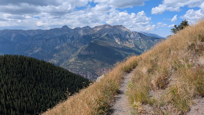
One last stairway to Heaven.The road home comes with views like this.
GPS Track(s) on Google Maps (made from a .GPX file upload):
Tiff you could barely "cow-ntain" your excitement writing this one! Okay... that one is a stretch. In any case - this has always been the way I planned to get this 13er. I'm thinking I'll try for prime flowers or fall colors as suggested! Thanks for the great TR!
Nice! I still haven't gotten up to the Bridge of Heaven, I did hike up Dexter Creek once and thought the road to that point was good (Outback). Want to go back for Bridge of Heaven and the unnamed 12er north of Cow! I may need to walk the road. Looks like a great day out, and a nice alternate on Cow! The views down into Ouray from above the Amphitheater are cool.
PS- If people are worried about vehicles getting to the THs in this report, the Old Horsethief Trail starts in town near the pool, but that TH is only at 7800' so its a lot more effort to get to the junction you noted!
In my more juvenile moments, "Cow BM" makes me chuckle. Thanks for sharing this trail - I had no idea about it and it looks pretty fun! I did it, like others, with other peaks from Engineer Pass. :)
Man, there's just no quick way to tag Cow BM. We did it by going in via American Flats. Either way, that peak is WAY out there. I've always wondered about Horsethief & Bridge of Heaven. Even when I lived in Ouray, I never got around to checking it out. So, thanks for some quality pictures & beta. It's going on my "to-do" list now because of your report.
Caution: The information contained in this report may not be accurate and should not be the only resource used in preparation for your climb. Failure to have the necessary experience, physical conditioning, supplies or equipment can result in injury or death. 14ers.com and the author(s) of this report provide no warranties, either express or implied, that the information provided is accurate or reliable. By using the information provided, you agree to indemnify and hold harmless 14ers.com and the report author(s) with respect to any claims and demands against them, including any attorney fees and expenses. Please read the 14ers.com Safety and Disclaimer pages for more information.
Copyright: Route information, text, risk factors, maps, GPX files, charts, photos, 14ers.com-created map imagery, flythroughs, and other content provided in this route description are copyrighted by 14ers.com and may not be copied, reproduced, republished, distributed, modified, or used to create derivative works without prior written permission.
Please respect private property: 14ers.com supports the rights of private landowners to determine how and by whom their land will be used. In Colorado, it is your responsibility to determine if land is private and to obtain the appropriate permission before entering the property.