
| Report Type | Full |
| Peak(s) |
Unnamed 13033 - 13,033 feet |
| Date Posted | 10/05/2025 |
| Date Climbed | 10/03/2025 |
| Author | WildWanderer |
| From Fork Fryingpan Trail |
|---|
|
13033 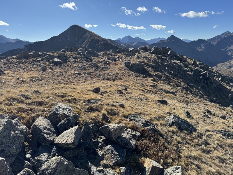
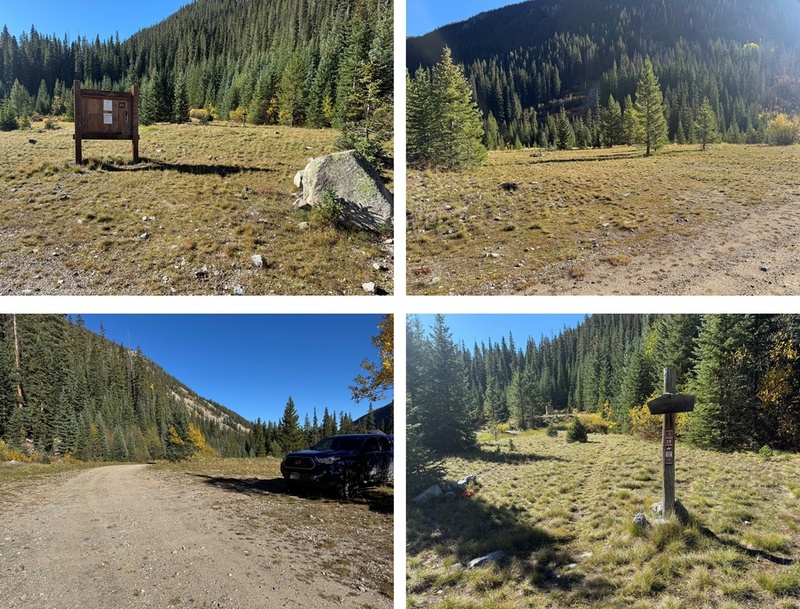
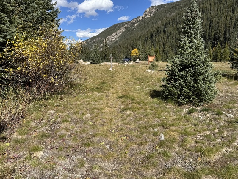
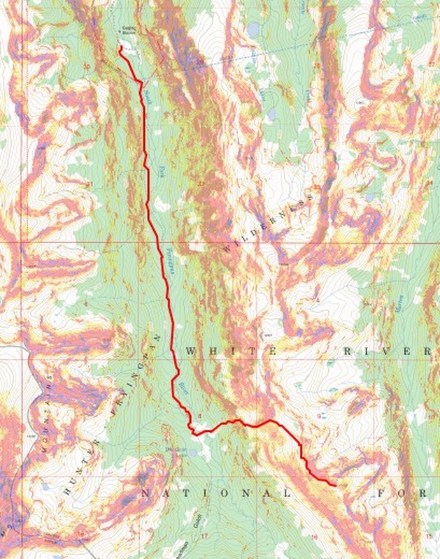
RT Length: 12.14 miles Elevation Gain: 3207’ Maps call this trail 1940, but the sign at the trailhead said Fork Fryingpan Trail 1924. From Norrie Colony I took 2WD dirt road 504 for 10 miles until it ended. There is one place to turn left about halfway through the drive to stay on 504 but that was the only turn I took. The left turn is where there’s a sign saying “Hunters Beware: Moose in area, be sure of your shot”. At the trailhead there were several dispersed campsites and lots of places to park. This is a lightly trafficked and remote but easy to drive to trailhead. I didn’t see any other vehicles there. I did see several very large marmots I mistook initially for bear cubs. Be sure to marmot-proof your vehicle. 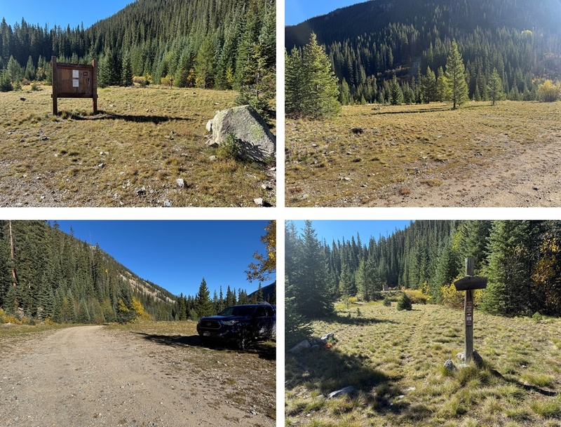
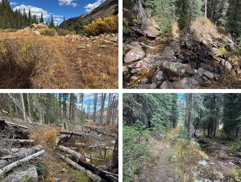
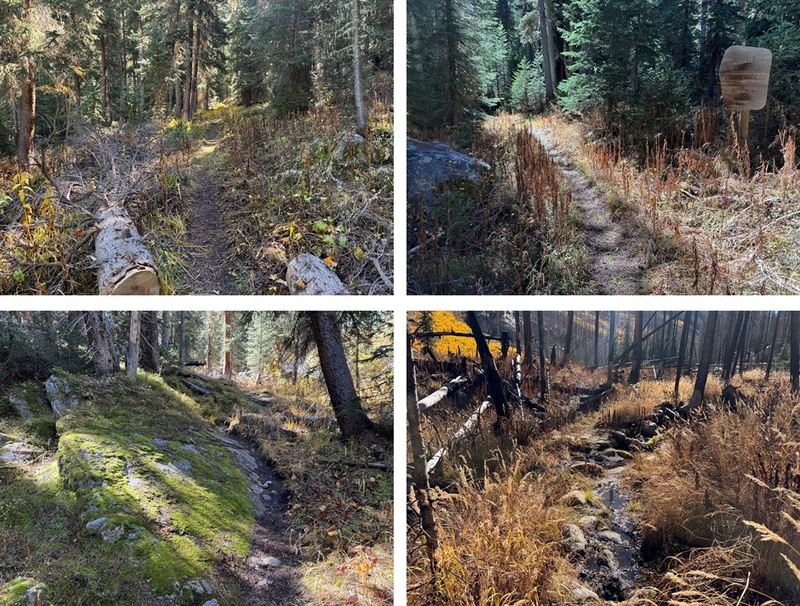
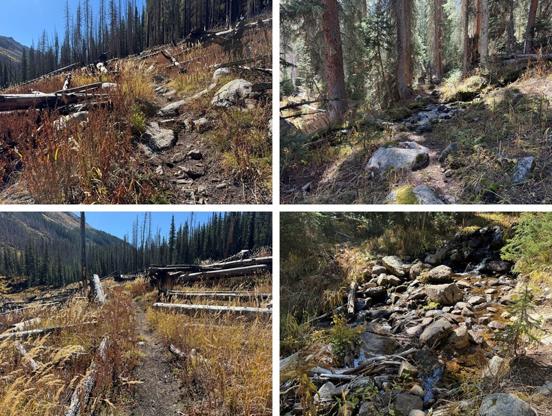
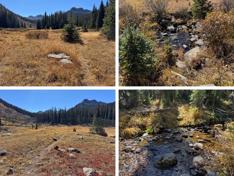
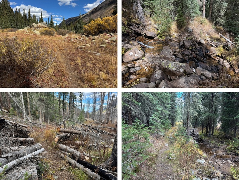
The trail starts at the south end of the parking area. This is a class 1 trail I followed for 4 miles. It parallels the South Fork Fryingpan River. If you get to Deadman Lake you’ve gone too far. There were several small stream crossings and lots of evidence of moose (but I didn’t see a moose). This area has also seen avalanches and a fire in recent years, but the trail is well maintained and easy to follow with no junctions. Oh, and SO MANY SPIDERWEBS! It was obvious no one had hiked this trail in a while. My tracks were the only ones (besides moose) going in and coming out. 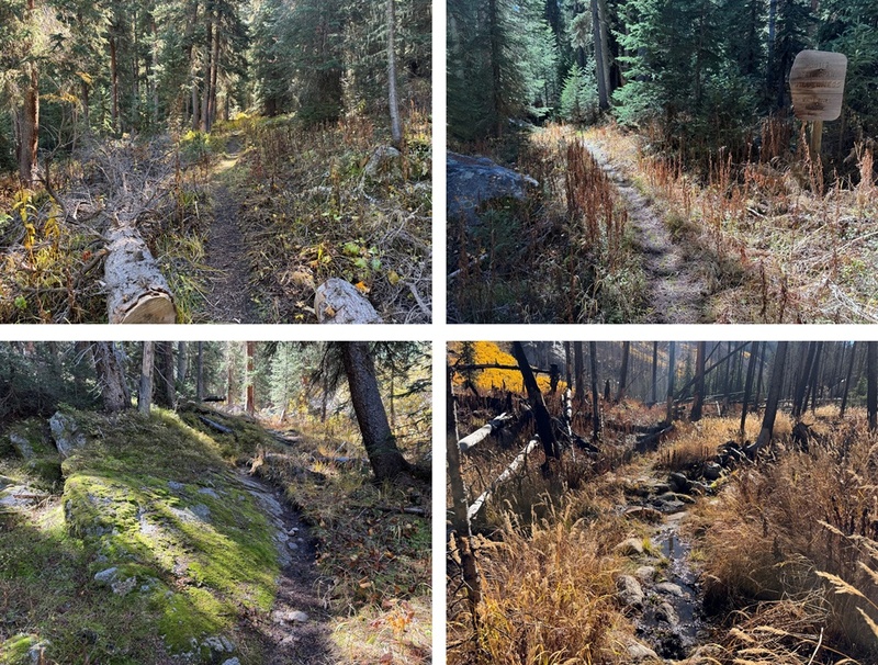
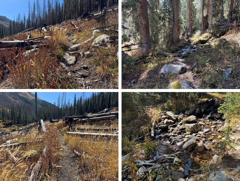
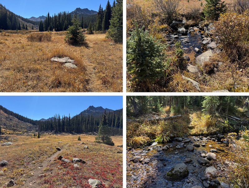
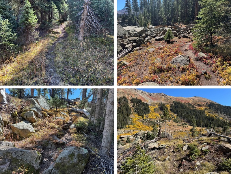
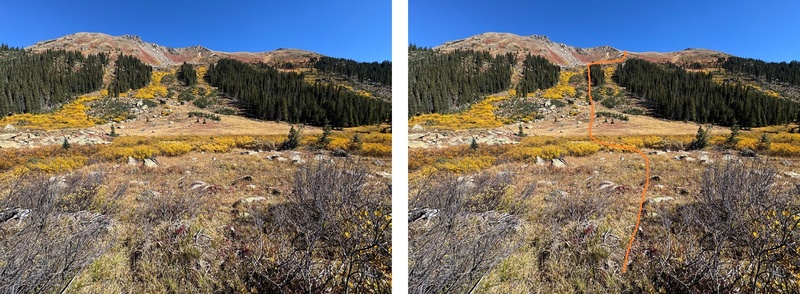
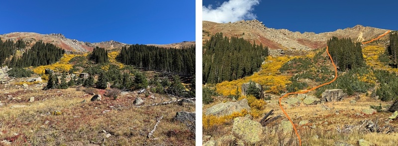
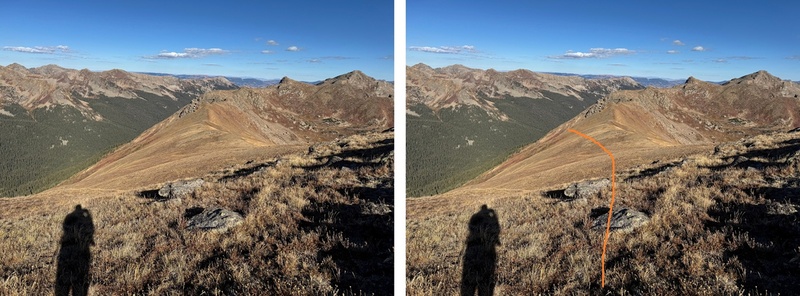
After hiking for 4 miles and at 10930’ of elevation I left the trail and headed east towards an obvious avalanche slide. There are a lot of slides in the area, so look for the one around 4 miles. I was making this an overnight to just enjoy the trek, so I planned to set up my tent at the base of this slide, but if you’re making this a day hike here’s the route I took up to the ridge 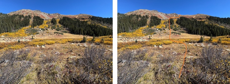
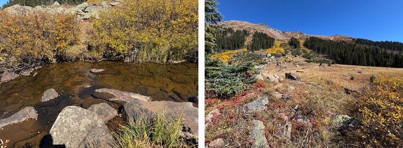
To get to my campsite (and to make it to the ridge) I had to cross the river. Luckily, I was able to rock hop across it, but earlier in the year it was several feet deep and I decided to turn back and wait for the water levels to lower because I didn’t have the correct gear to cross the river at that time. There’s a game trail that goes through the willows that will lead you to the river crossing area. I easily crossed the river and set up camp in the grassy area below the slide. 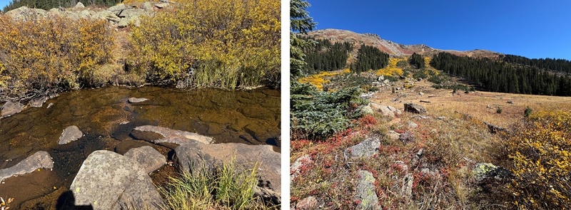
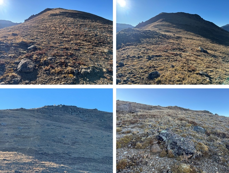
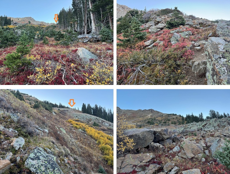
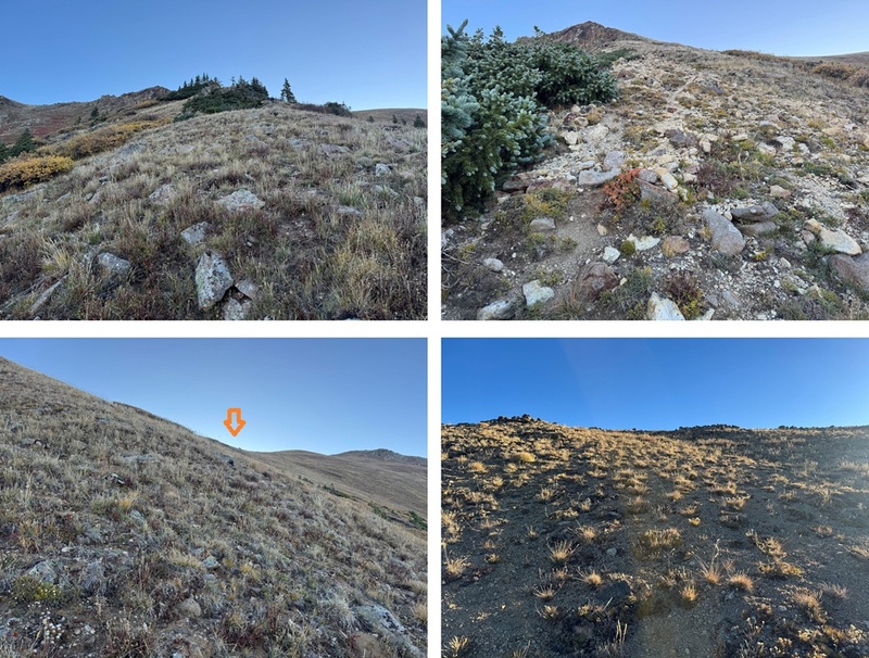
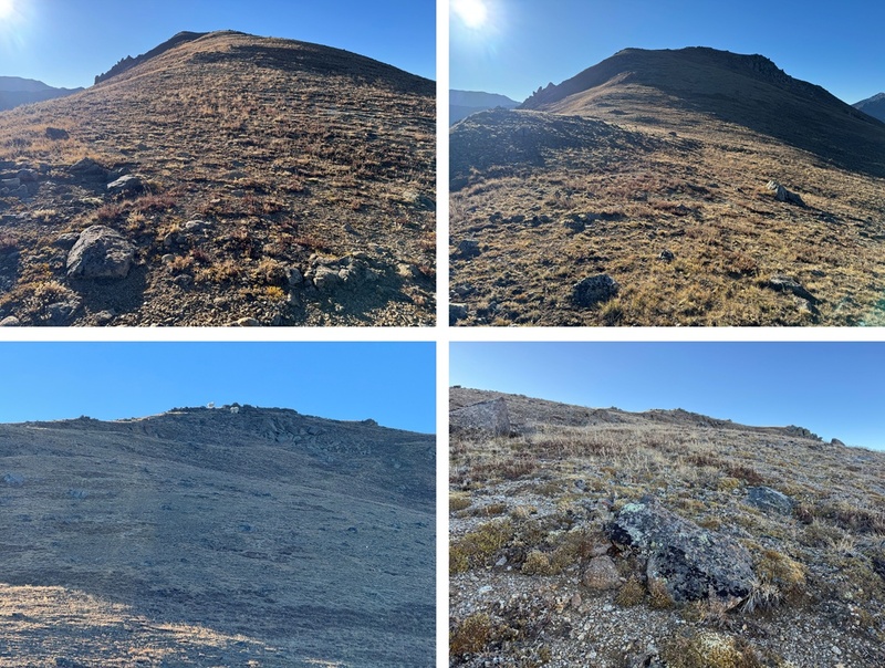
It took me 2 hours of hiking to get to this spot. I set up camp and enjoyed the rest of my afternoon. Surprisingly, the only wildlife I saw were camp robbers and raptors. While there was evidence of elk, deer, moose, etc. I didn’t see any. There were fish in the river however, and I spent some time watching them swim with the stream. I also enjoyed my views of the Williams group I’d summited earlier this summer. It’s cool seeing mountains from different angles. I went to bed early expecting a cold night. Pro tip: when the temperature is expected to be below 30 degrees I usually double up my sleeping gear. I set up my bivy inside of my tent to stay extra warm. My bivy is very light and small so it doesn’t take up too much space in my pack. It’s worth it for the extra warmth. The next morning I was up and on the trail at 7:15am. I found the best way to avoid the willows in the slide area was to stick close to the trees. At the top of the trees I veered right on a game trail and took a tundra grassy hike to the ridge. 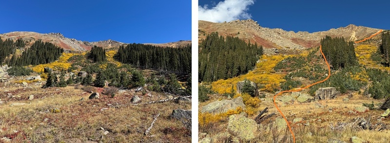
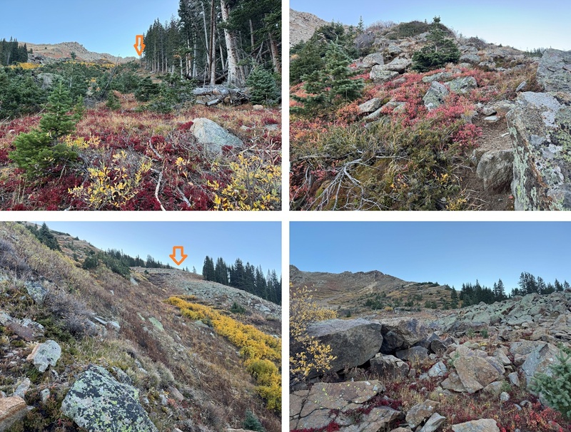
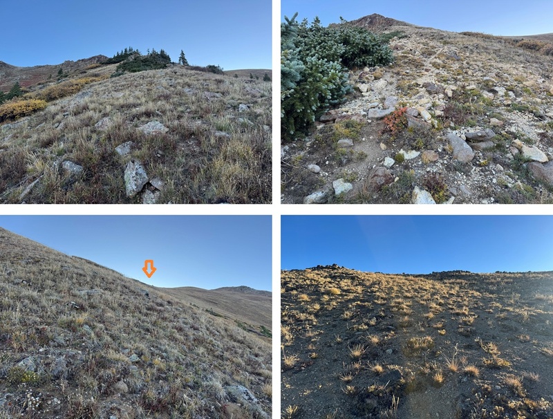
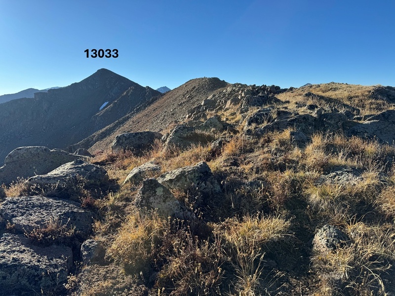
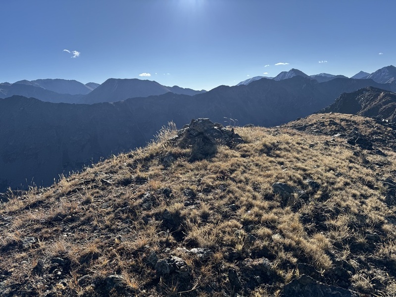
At the top of the ridge I turned right and started following the ridge southeast, still on tundra. This can all be kept class 2, but there is a false summit. I followed the ridge to the false summit and saw a pair of mountain goats. 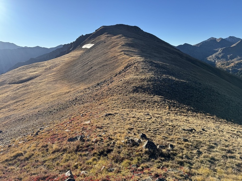
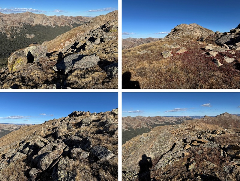
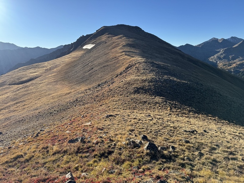
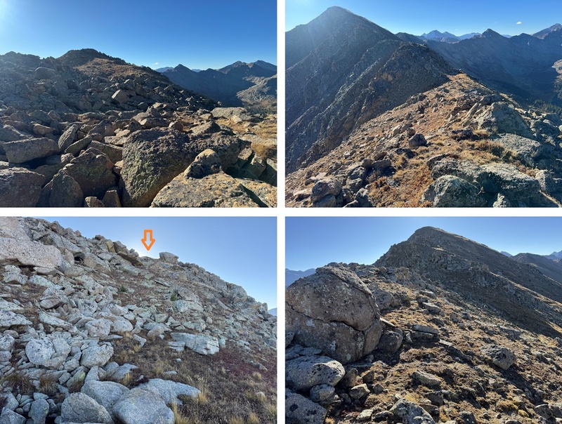
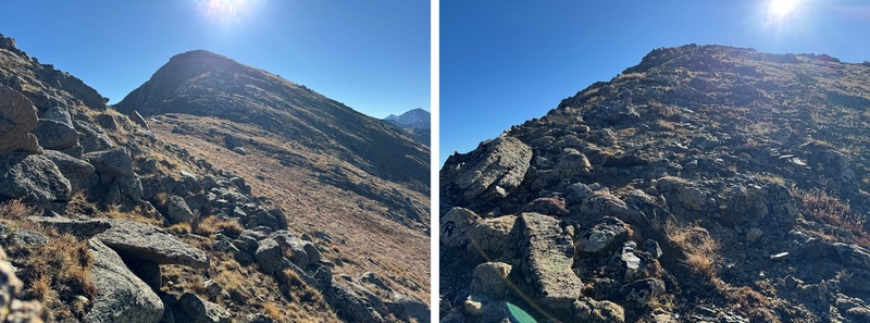
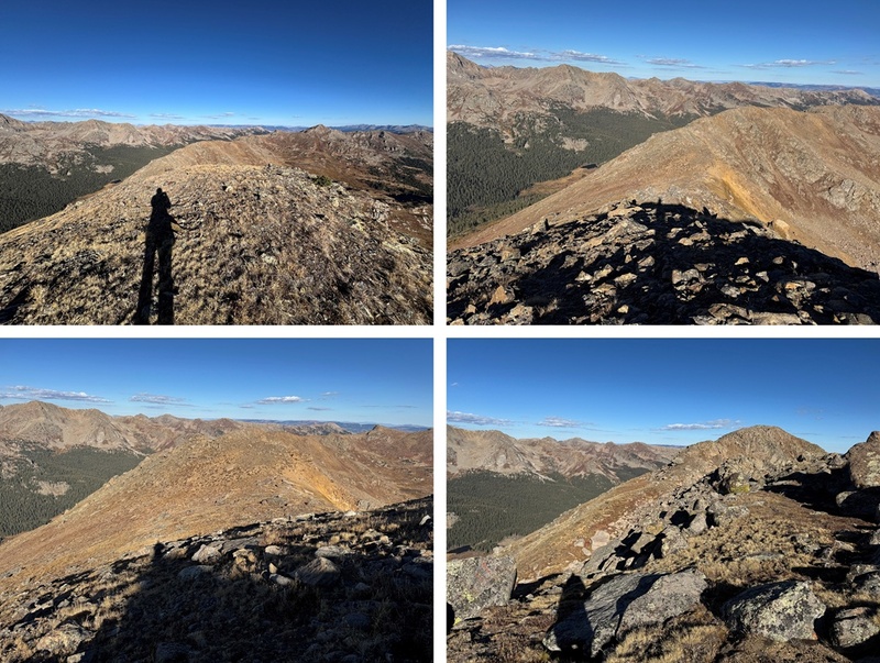
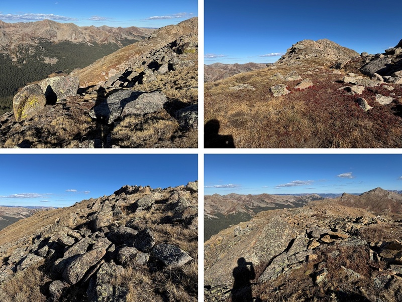
From the false summit I could see the true summit of 13033. The terrain becomes a little rockier, but it can still be kept class 2 by sticking to the ridge or dipping down a couple of feet to the right to stay on the tundra. The route is obvious. Even rock-hopping along the ridge this can be kept class 2. 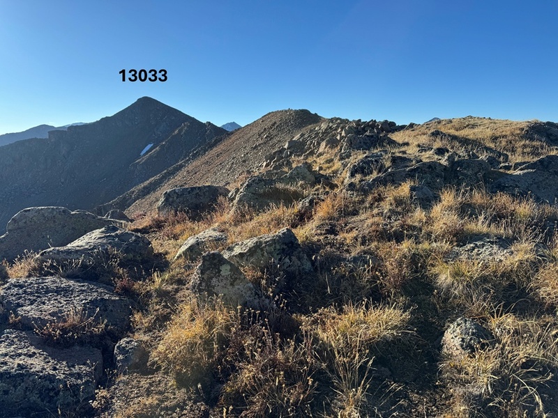
Here are some pictures of the ridge to the summit: 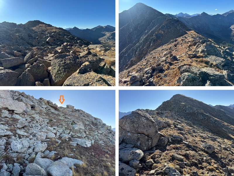
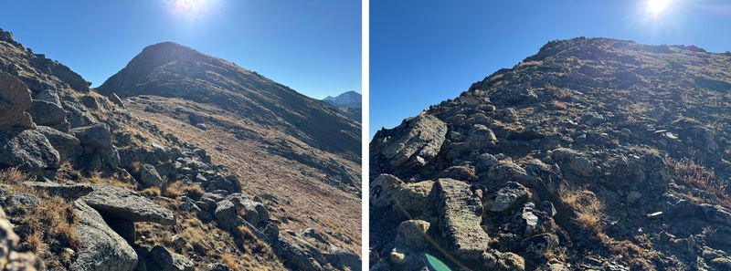
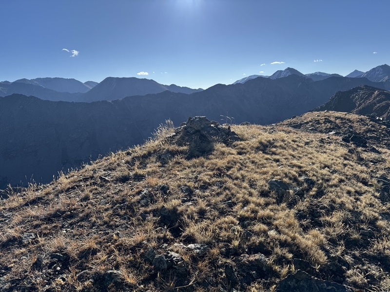
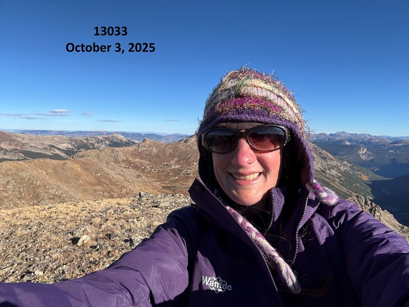
I summited PT 13033 at 9am 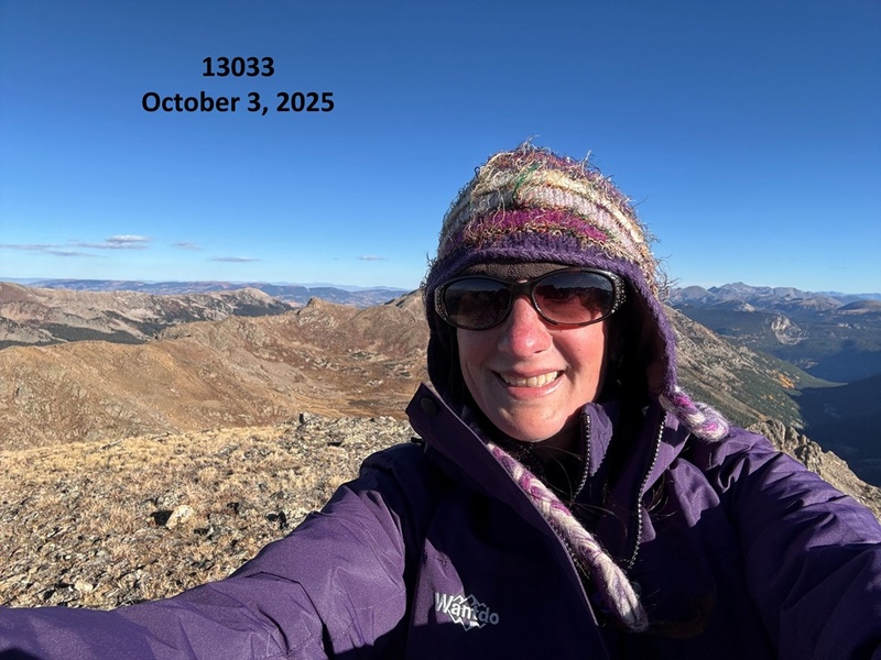
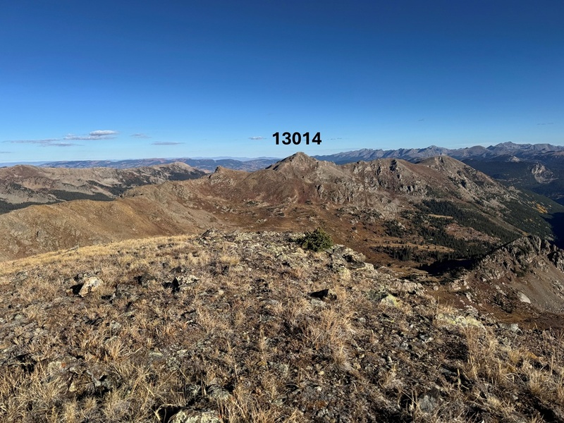
PT 13033: From the summit looking north I could see PT 13014. 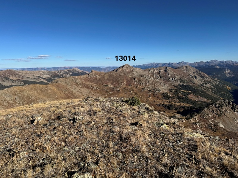
It was my intention to summit 13014 today as well by following the ridge. However, I took my phone off of airplane mode and my cousin chat group immediately started blowing up with messages I had missed from the past 2 days. I must have had 200 messages (I have a lot of cousins) and apparently my Grandpa (who’s 97) was in the hospital. I tried to make phone calls and message back but didn’t have enough cell service to do so. I made the decision to cut this hike short so I could make sure my Grandpa (and my mom, who isn’t quite ready to lose her father) were ok. I’ll come back and summit 13014 another way (I already have ideas…). I turned back and followed the ridge northwest towards the saddle. 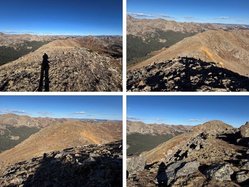
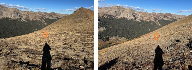
Back on the saddle I’d placed a small cairn where I wanted to descend. There’s also a robust game trail here that’s a good indication of when to descend, just don’t follow it, as it goes in the opposite direction. 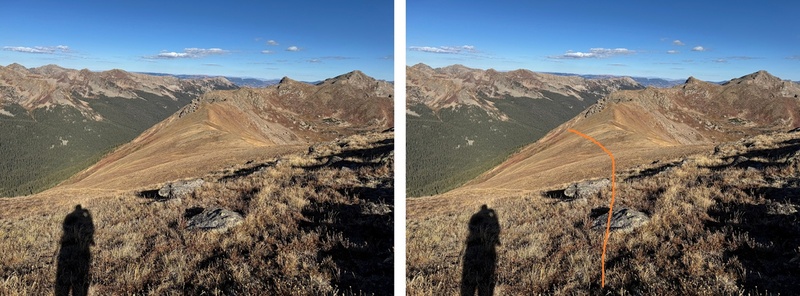
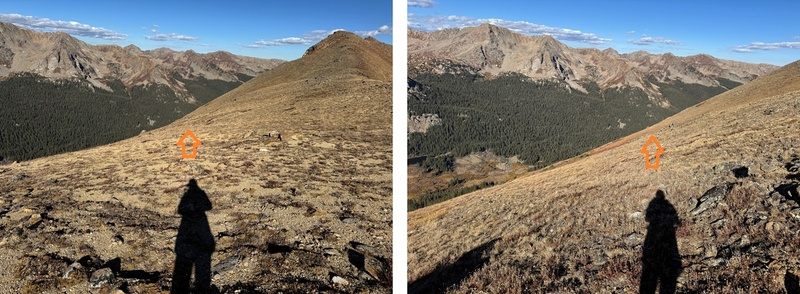
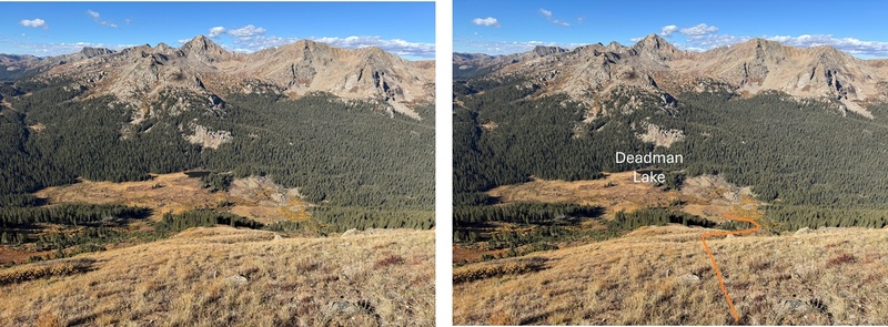
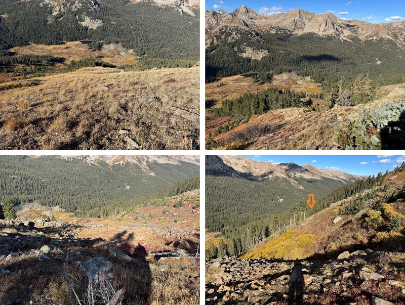
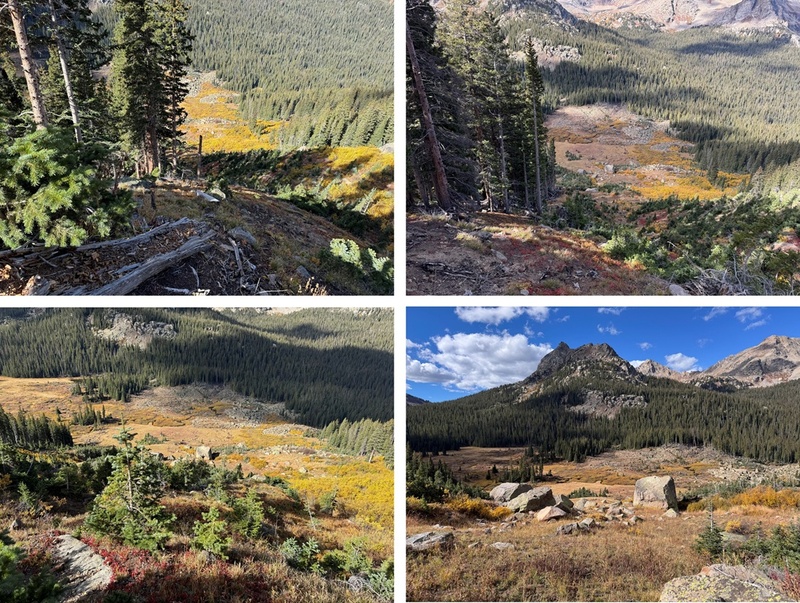
Here’s a view of my route back down the avalanche chute. Notice Deadman Lake in the distance. It’s a good visual for the decent. 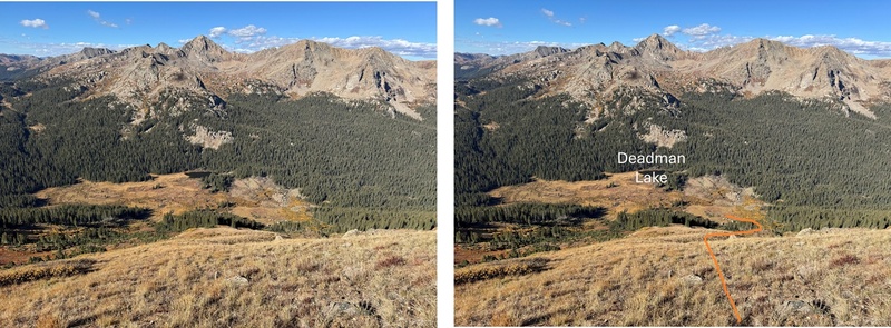
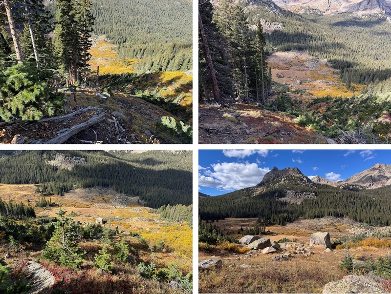
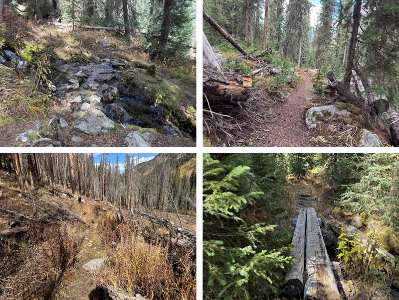
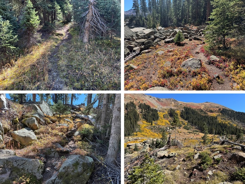
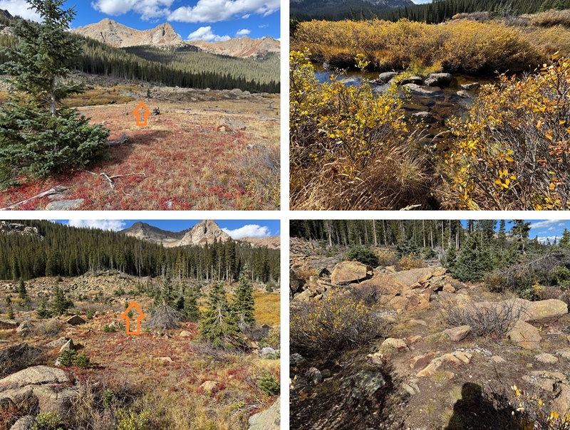
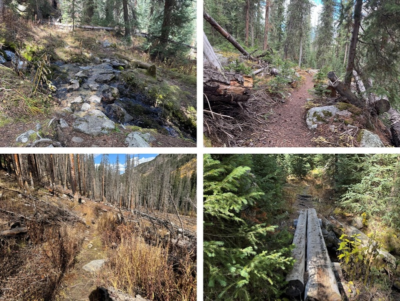
And some pictures of the route back to my campsite 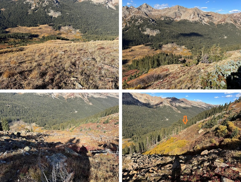
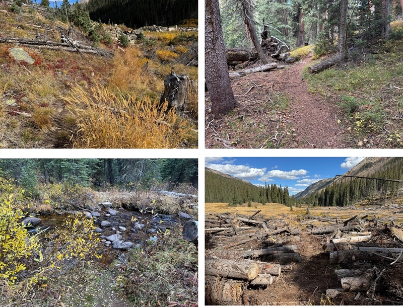
Back at my campsite I quickly packed up my gear and was on my way. First, I crossed the stream/river and found the trail again. 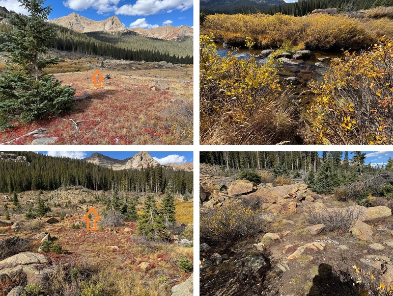
I then followed the trail 4 miles north back to the trailhead. 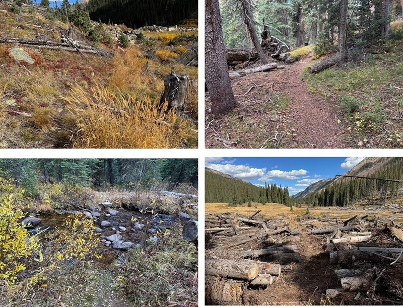
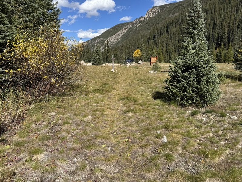
I made it back to the trailhead at 12:30pm. This was a 12.14 mile hike with 3207’ of elevation gain. 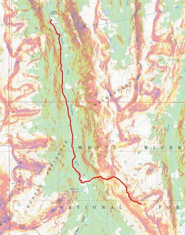
On to the next trailhead! Thumbnails for uploaded photos (click to open slideshow): 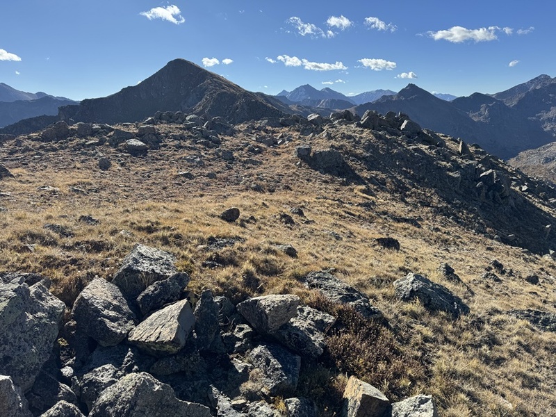
|
| Comments or Questions |
|---|
|
|
Caution: The information contained in this report may not be accurate and should not be the only resource used in preparation for your climb. Failure to have the necessary experience, physical conditioning, supplies or equipment can result in injury or death. 14ers.com and the author(s) of this report provide no warranties, either express or implied, that the information provided is accurate or reliable. By using the information provided, you agree to indemnify and hold harmless 14ers.com and the report author(s) with respect to any claims and demands against them, including any attorney fees and expenses. Please read the 14ers.com Safety and Disclaimer pages for more information.
Copyright: Route information, text, risk factors, maps, GPX files, charts, photos, 14ers.com-created map imagery, flythroughs, and other content provided in this route description are copyrighted by 14ers.com and may not be copied, reproduced, republished, distributed, modified, or used to create derivative works without prior written permission.
Please respect private property: 14ers.com supports the rights of private landowners to determine how and by whom their land will be used. In Colorado, it is your responsibility to determine if land is private and to obtain the appropriate permission before entering the property.


