Download Agreement, Release, and Acknowledgement of Risk:
You (the person requesting this file download) fully understand mountain climbing ("Activity") involves risks and dangers of serious bodily injury, including permanent disability, paralysis, and death ("Risks") and you fully accept and assume all such risks and all responsibility for losses, costs, and damages you incur as a result of your participation in this Activity.
You acknowledge that information in the file you have chosen to download may not be accurate and may contain errors. You agree to assume all risks when using this information and agree to release and discharge 14ers.com, 14ers Inc. and the author(s) of such information (collectively, the "Released Parties").
You hereby discharge the Released Parties from all damages, actions, claims and liabilities of any nature, specifically including, but not limited to, damages, actions, claims and liabilities arising from or related to the negligence of the Released Parties. You further agree to indemnify, hold harmless and defend 14ers.com, 14ers Inc. and each of the other Released Parties from and against any loss, damage, liability and expense, including costs and attorney fees, incurred by 14ers.com, 14ers Inc. or any of the other Released Parties as a result of you using information provided on the 14ers.com or 14ers Inc. websites.
You have read this agreement, fully understand its terms and intend it to be a complete and unconditional release of all liability to the greatest extent allowed by law and agree that if any portion of this agreement is held to be invalid the balance, notwithstanding, shall continue in full force and effect.
By clicking "OK" you agree to these terms. If you DO NOT agree, click "Cancel"...
OK so i am still a little caught up in the "New Spot per Month Challenge" even though it has formally ended in 2024.
And while in summit county the approach up to old Ptarmigan Peak sure looked invitingly gold! Having only banged up that way for rando day hikes for like 10-15 years now - seemed time to finally wrap it up.
But that gold calls far and wide it seems. Didn't calculate leafers into equation. No parking. Plan dunzo!!
Pop quiz hot shot?? What are you gonna do??
Answer - Shrine pass? started driving that way. had supplies for big mission and ready to go. but mid drive i recalculated to at least go instead to Buckeye peak near climax instead since i only went there once in like 2011 or something. fresher terrain right?
Wasn't really that much further either. solid backup plan forming. but here's the kicker - then i thought - 'can't you swing out way north instead of just heading up direct to buckeye like you did last time?'
and like my boy Frost says
I took the one less traveled by,
And that has made all the difference.
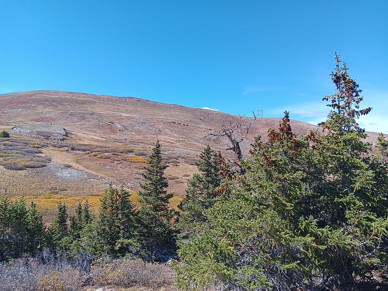
Chicago Ridge baby! Very humble terrain all around sure but the key for me was instead of looping around hard north to take the chicago ridge entirely I just took this mid ridge direct at the downtown of chicago.
Why is that?
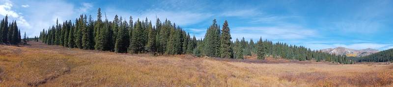
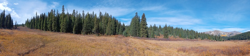
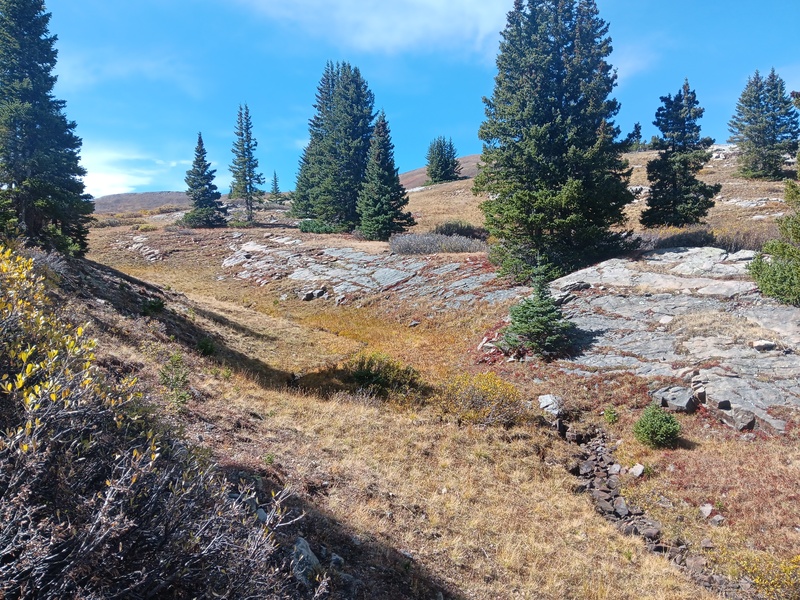
Awesome level forest meadow region back that way. was best part of the hike really. and the travel was nearly level! reminded me of my Flattop days. what do i always say? it is nice some times to just travel out and across instead of banging up the side of a friggin mountain all the time.
and further inspection revealed the very north end of chicago ridge is not exactly deepdish terrain anyway. plus this manuever allowed just enough time to wrap up to buckeye too for the solid super loop finish.
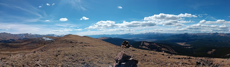
And note that ridge that you drop back off of buckeye is in fact the continental divide itself right there beneath you. just a subtle wrinkle in the land
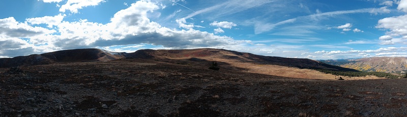
entering the chicago suburbs
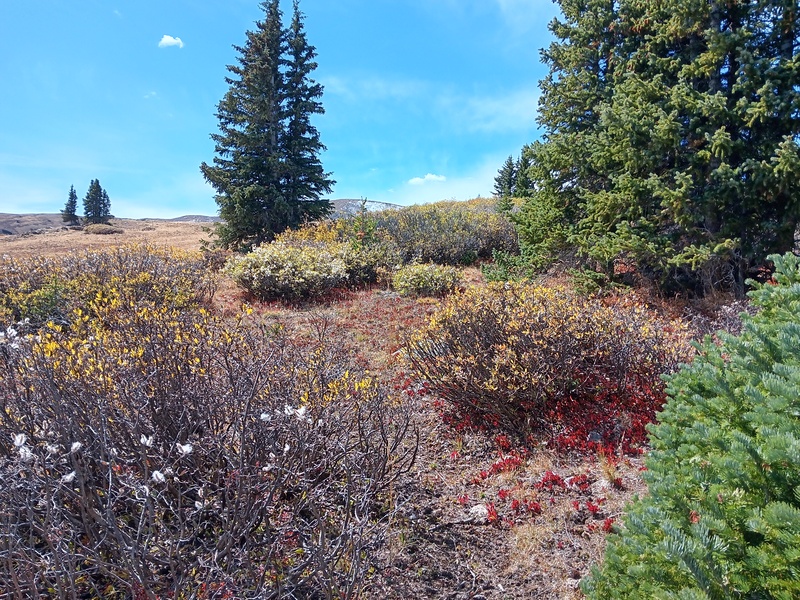
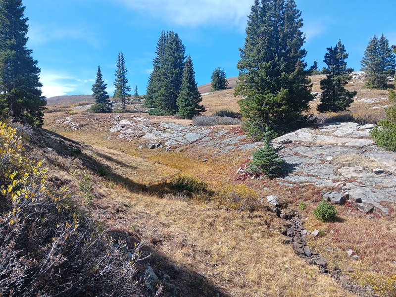
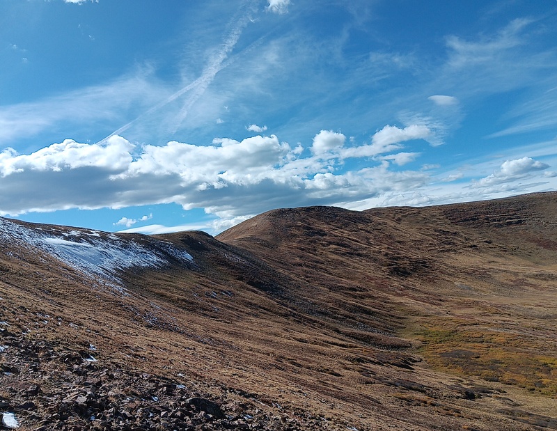
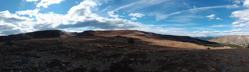
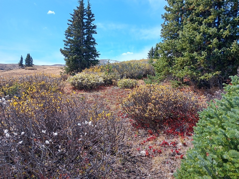
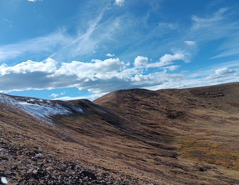
that contrast is already legendary with me - the golds, the greens, the reds, the whites, the blues - u kidding me??
Caption Here
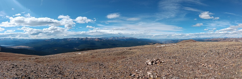
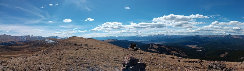
Chicago central with leadville to south. Golds were solid too - screw the Ptarmagin leafers - i got mine.
Continental divide to the left here - that's it
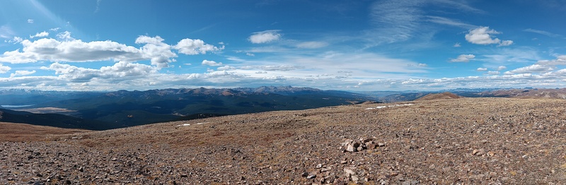
Continental Divide ridge in foreground extending to the left there. Buckeye cannot be seen from here. The aforementioned forest meadow region in to the far center right there. That was quite a prize to me. Wish I had lingered there longer.
For purposes of full disclosure - I was also hearing the 9.13.25 phish show on headphones up through the meadows too. For the first time! Fresh to my ears. That has become a thing for me - new jams in new places. And this one linked up big time. Hard to explain if not there.
But the moral of the story - is huge. Leafers got you down? Your mission blocked? Adjust and bounce back and you could end up with greater outcome there on the spot. This was huge win.
Can you see the chopper in the shot??
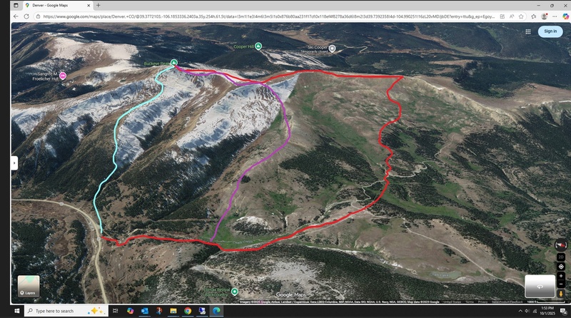
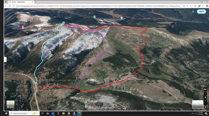
Red - the 2025 route - purple down - BUT - purple was the way up in 2011 to buckeye - and the turquoise line was the way down
UPDATE - yes see map above and in comments. the 2011 trip was itself notable - because i had scouted out rather precisely the special loop back to the car on the 'turquoise' route in the map with the then new Google Earth technology. I had it dialed in to a tree. I could have come back that way this time but wasn't sure which ridge was exactly that ridge so I just came back on the big ridge. and yes again - that ridge is the continental divide itself there too.
Thumbnails for uploaded photos (click to open slideshow):
yes i was looking down at Cooper on top of Chicago. I have never been to cooper either - closest i been yet.
updated above with map and info - route from off Hwy 91 there south of the climax mine. i walked up the dirt road but coulda driven higher with any car.
for full reference here's link to that map too:
Caution: The information contained in this report may not be accurate and should not be the only resource used in preparation for your climb. Failure to have the necessary experience, physical conditioning, supplies or equipment can result in injury or death. 14ers.com and the author(s) of this report provide no warranties, either express or implied, that the information provided is accurate or reliable. By using the information provided, you agree to indemnify and hold harmless 14ers.com and the report author(s) with respect to any claims and demands against them, including any attorney fees and expenses. Please read the 14ers.com Safety and Disclaimer pages for more information.
Please respect private property: 14ers.com supports the rights of private landowners to determine how and by whom their land will be used. In Colorado, it is your responsibility to determine if land is private and to obtain the appropriate permission before entering the property.