
| Report Type | Full |
| Peak(s) |
Keyboard of the Winds - 13,307 feet |
| Date Posted | 09/21/2025 |
| Date Climbed | 08/30/2025 |
| Author | Anima |
| A Wet and Cloudy Keyboard |
|---|
|
Keyboard of the Winds (a.k.a Mrs. Stubbs) via the South Face (5.7)
The Keyboard of the Winds is an elusive, unranked 13er in the heart of Rocky Mountain National Park. As with other unranked named points, it's summit location may seem arbitrary to all but the most philosophical peak baggers. Many have claimed ascents of these peaks on the pretext of reaching a nearby point with a higher elevation.
These summits are not defined by their topographical prominence but are rather borne from the whims, folly, and imprudence of map-makers and surveyors. Their summits are dictated by the point that was intended to be named, even if it appears an absurdity to a ranked peak enthusiast whose only measure of a mountain is its prominence. This is particularly true for Keyboard of the Winds, whose image on 14ers.com is of the wrong tower, and whose proximity to Longs Peak leads the casual peak bagger to believe it a simple tangent to the Keyhole route, conflating the summits and laying claim to its ascent.
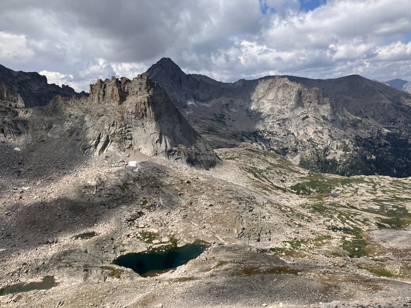
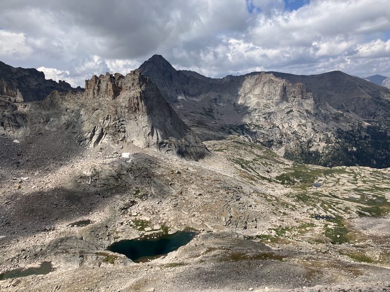
The true summit, however, lies further west, out of sight below a large cliff band that impedes access from Long's Peak. While it can be reached from its high and popular neighbor, the few who have endeavored its summit seem to prefer an approach from Glacier Gorge, following the standard route for Pagoda Peak and then heading east along the ridge to the base of the summit tower.
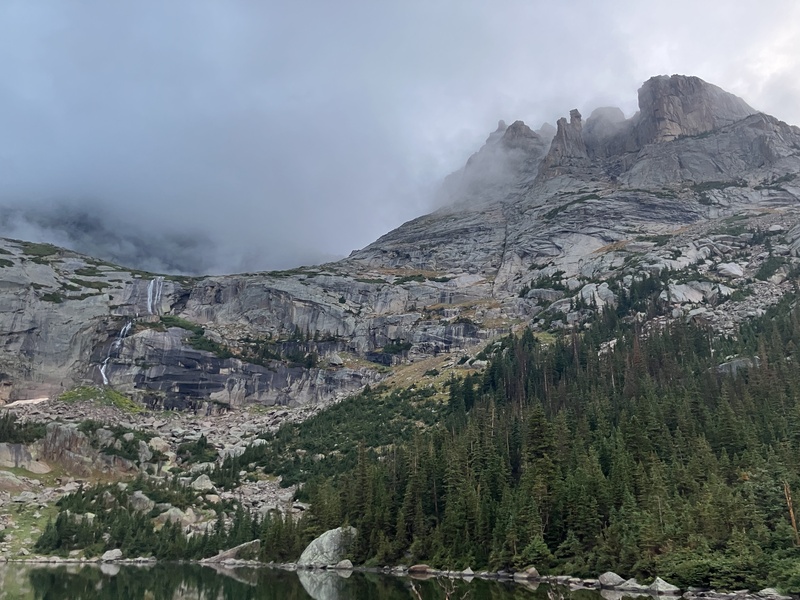
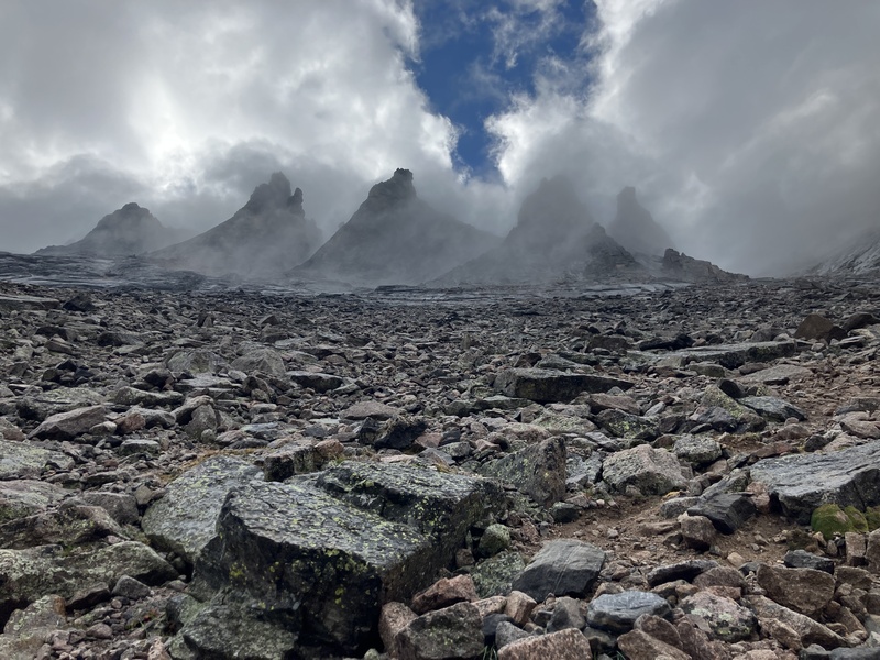
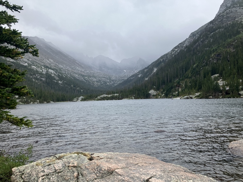
It is not only peak baggers who have exploits in the region; rock climbers too find solace in its steep and technical north face. From the shores of Mills lake, there appear to be no less than seven towers that make up this ``keyboard.'' Some of these have been fashioned with names, included the true and mapped summit of the Keyboard of the Winds, often referred to as Mrs. Stubbs.
From the north, Mrs. Stubbs appears to be a rather serious undertaking. While there are long and moderate rock climbs that proceed by way of the north face, the easiest route to the summit lies on the south side. If one can endure the crowds on the park trails and steep scree slopes on the approach, the tower yields with only 90 feet of technical climbing.
Andy and I left Boulder at 3am in a rainstorm. All the way to Estes Park it poured rain. As we neared the Glacier Gorge trailhead we were disheartened by the unrelenting downpour. Once at the trailhead, the rain finally receded to a light drizzle, so we set off for Mill's Lake at 4:30 am under headlamps.
On a typical weekend in the summer, the Mill's lake trail is inundated with climbers in the early hours of the morning. Besides a few hikers whom we passed shortly after leaving the trailhead, we saw no other people, the poor weather forecast likely deterring the uninspired.
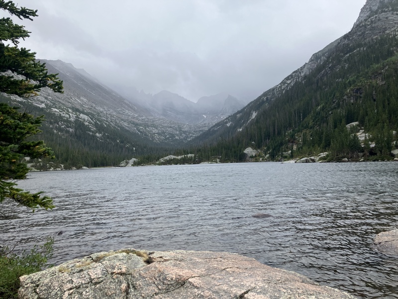
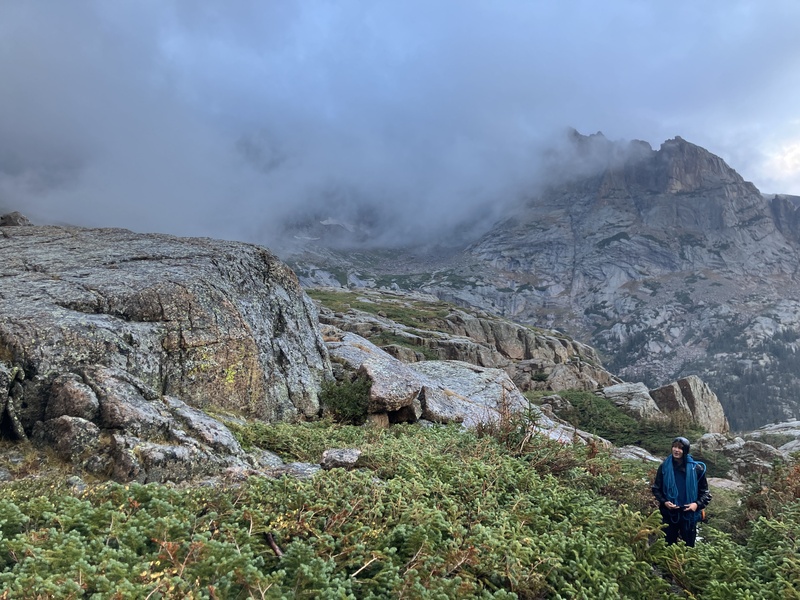
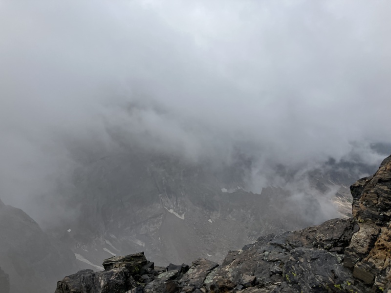
We made good time to Mills lake where the rain picked up. Donning our rain gear we continued to Black Lake as the sun rose. Instead of the usual panorama of towering peaks, thick and dark clouds laid over the valley obscuring even the lower summits. Only for a moment did we get a glimpse of Spearhead before it was re-consumed in the storm.
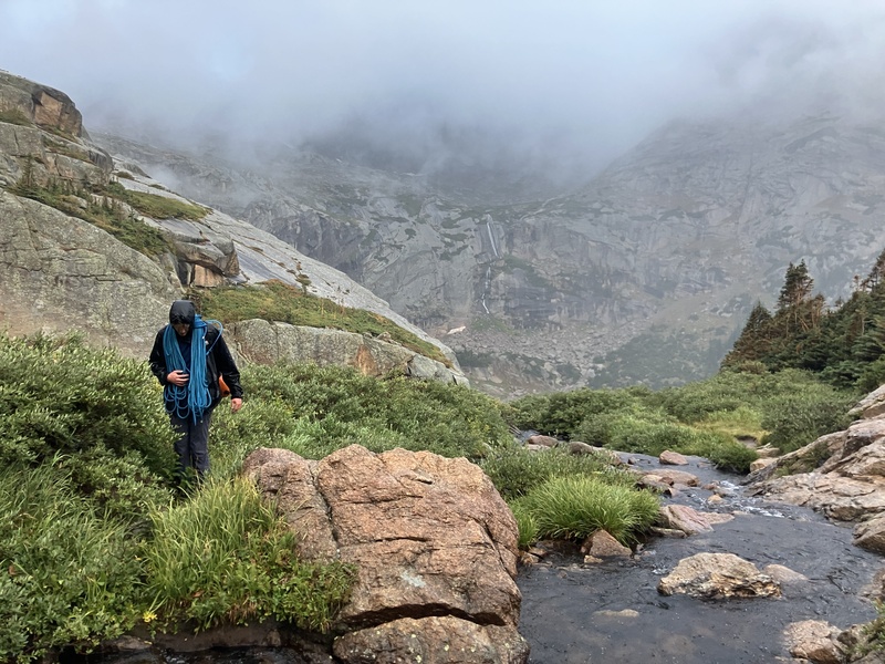
Above Black Lake it poured rain. I was getting nervous—the sheer volume of water would make rocking climbing difficult, and I feared ascending a waterfall instead of merely wet rock. We pressed on, determined to reach the base of the technical climbing and evaluate the conditions there, as rain would not impede progress to that point.
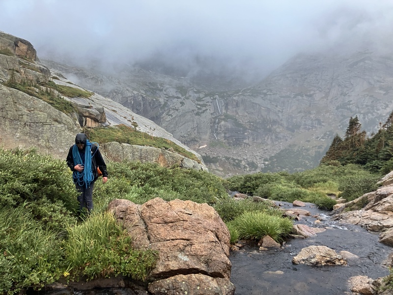
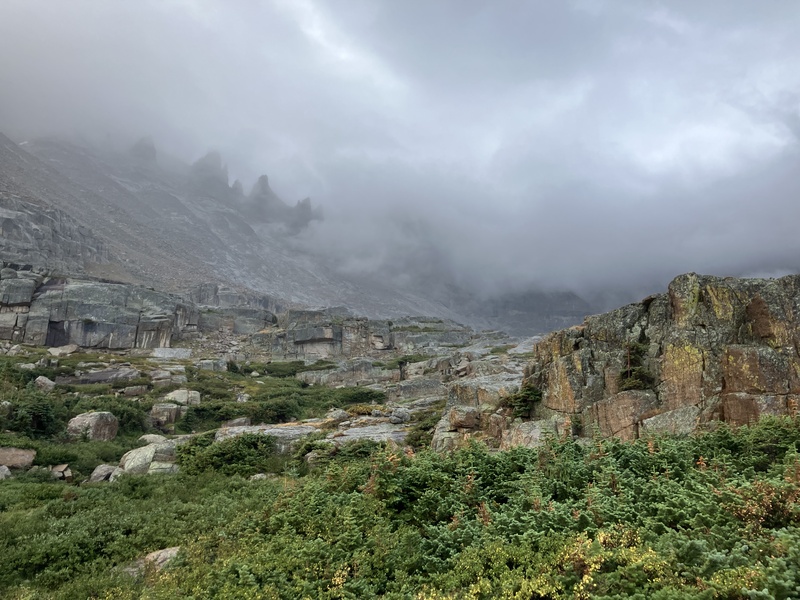
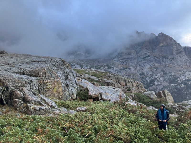
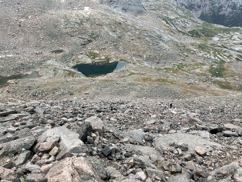
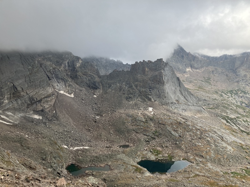
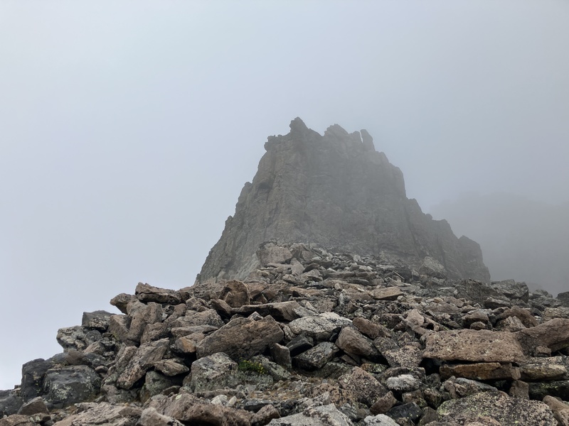
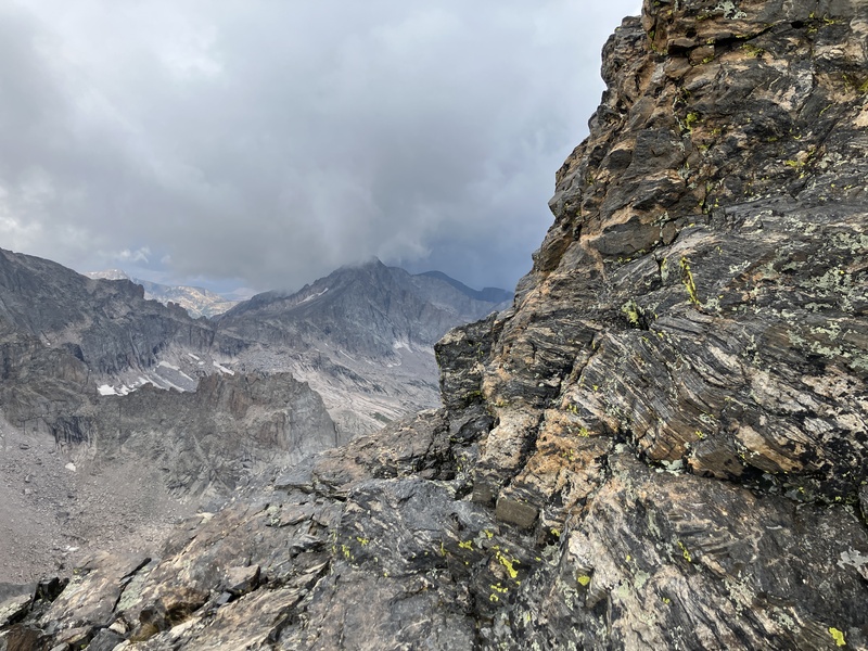
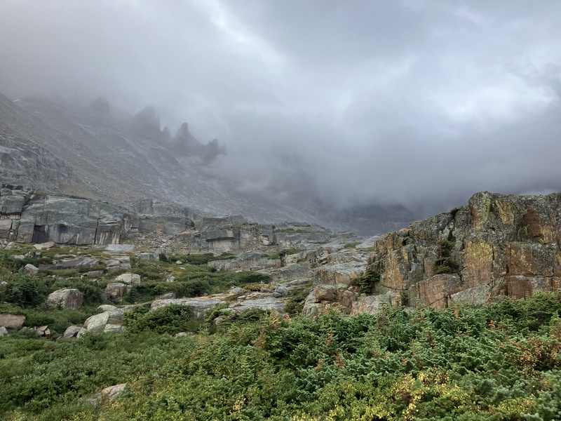
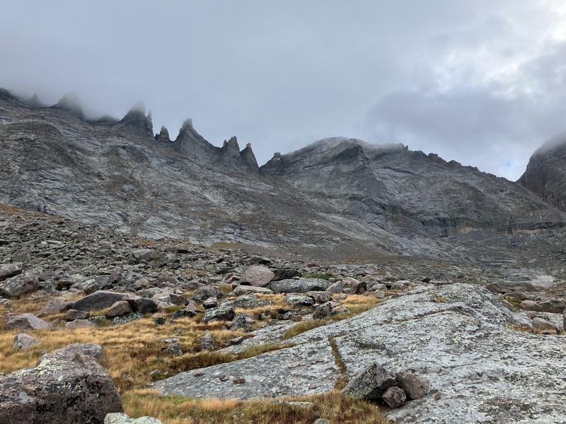
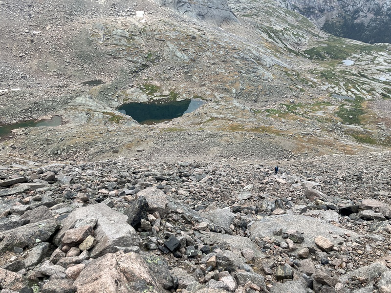
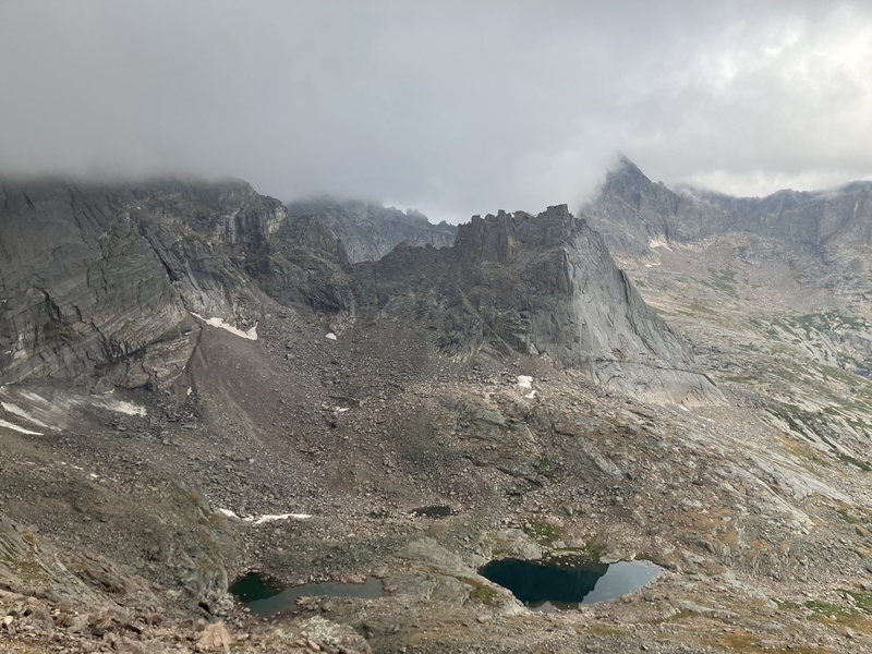
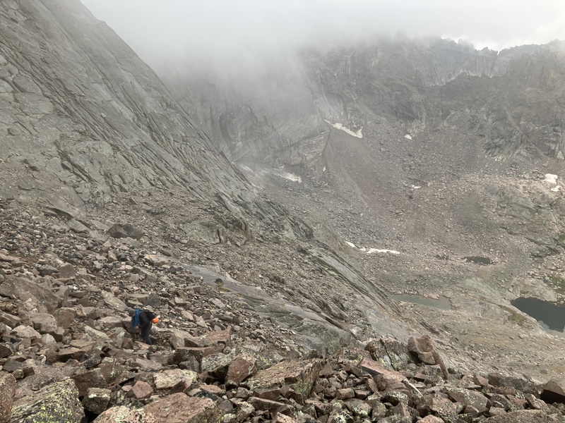
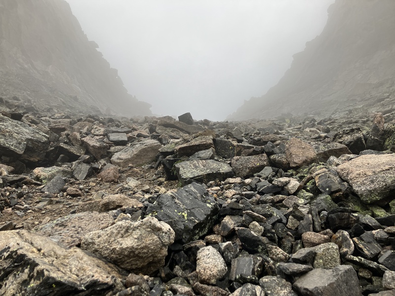
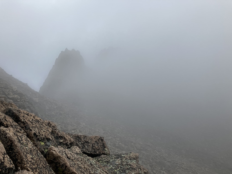
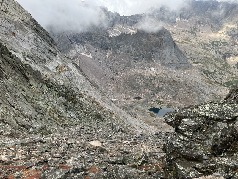
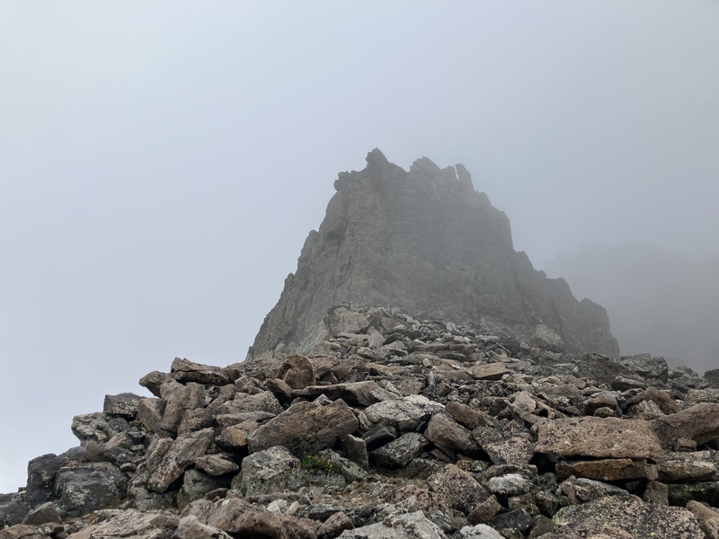
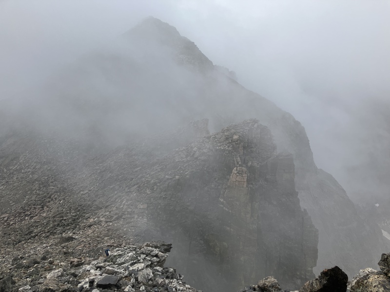
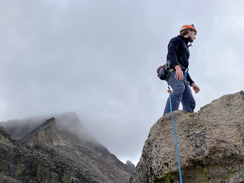
As we began up the scree slopes below Pagoda Peak, the clouds lightened and the occasional glimpse of blue could be seen above. The rain stopped completely and out spirits lifted. As we passed above the 12,500' contour, we entered the still-pervasive cloud cover and once on the ridge, our first view of the route was an ominous silhouette through the mist.
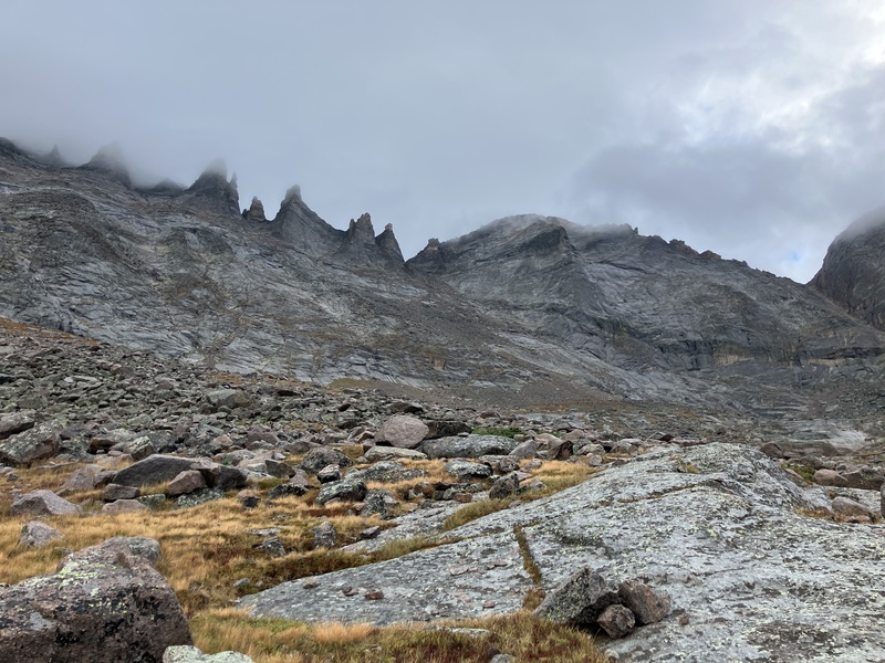
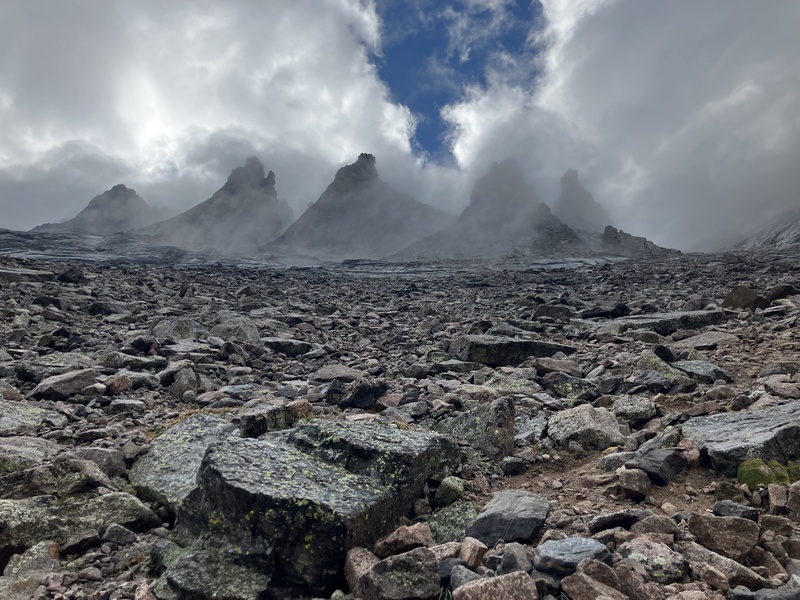
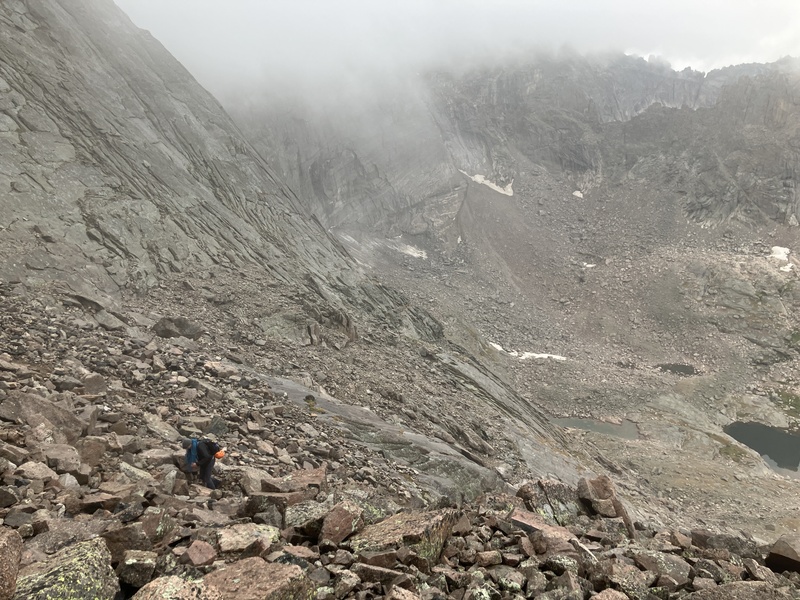
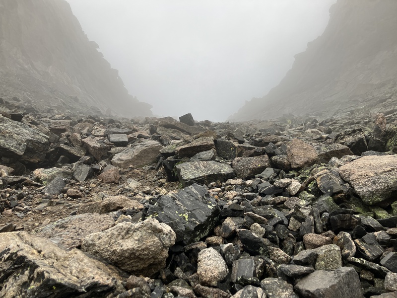
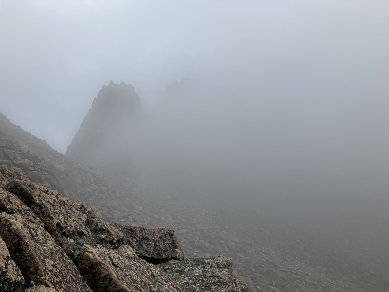
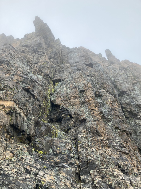
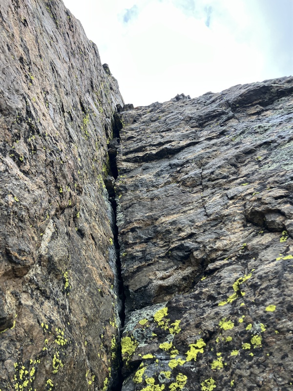
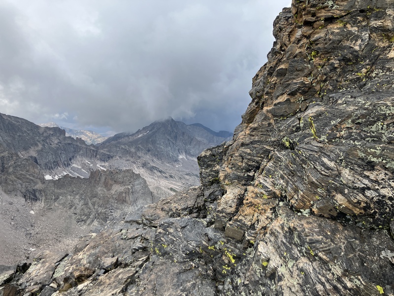
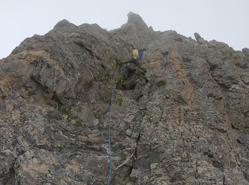
Ten minutes after reaching the ridge we found ourselves at the base of the route. The rock was covered in lichen and moss which is superbly slick in the presence of moisture. The top of the tower was swirling in the clouds but the rain had held off, so we decided to continue up.
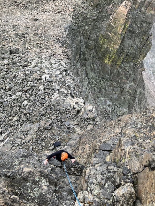
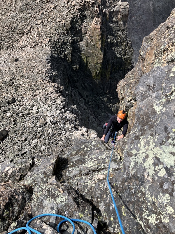
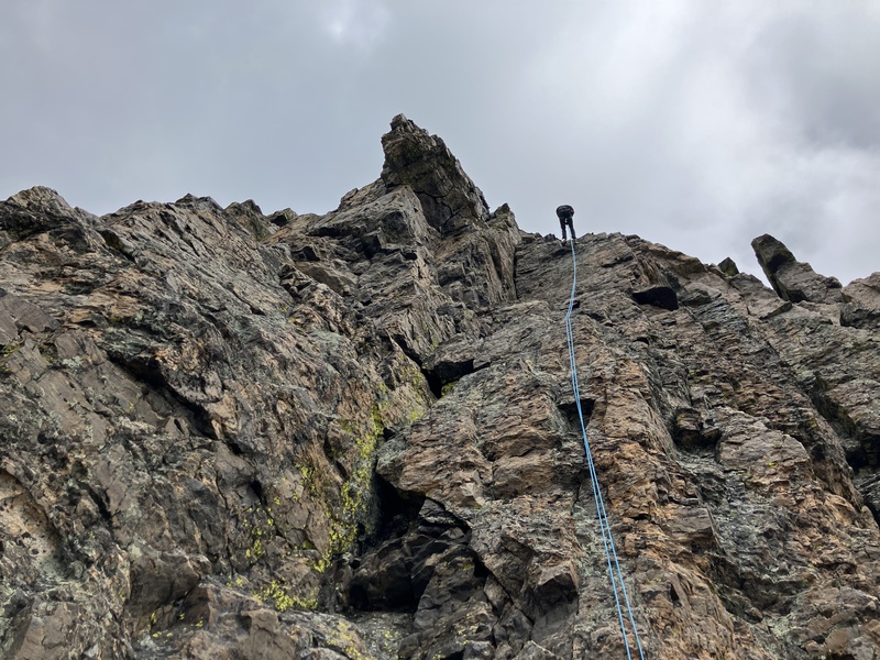
I took off on lead, delicately climbing up the slick rock. The first few feet are easy climbing, followed by a short 5.4 corner and more easy climbing to the base of the crux—a wide crack tucked in a slightly overhung corner, supposedly rated at 5.8-. Upon reaching the base of the crux and in want of larger gear I had already placed below, I built an belay and brought Andy up. He soon joined me and I continued up through the crux which was an excellent bit of climbing and surprisingly easy. While a #4 would have been ideal, a #3 and #5 work equally well, one above and one below the typical #4 placement.
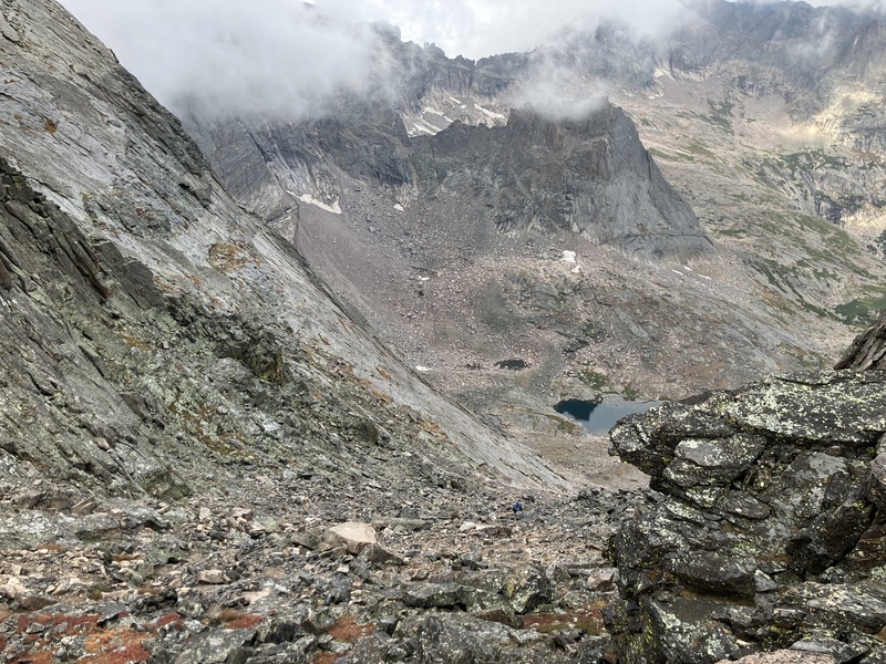
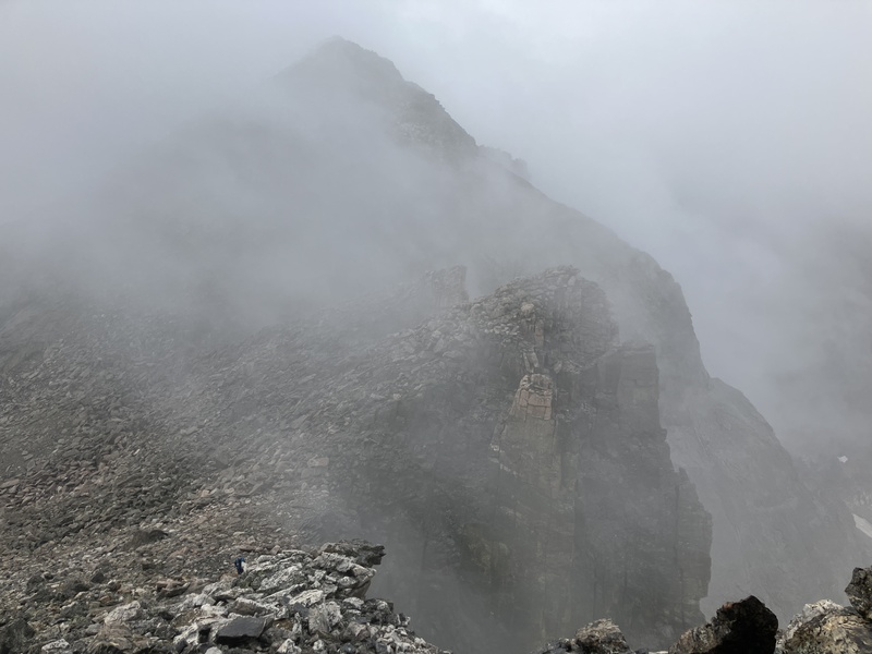
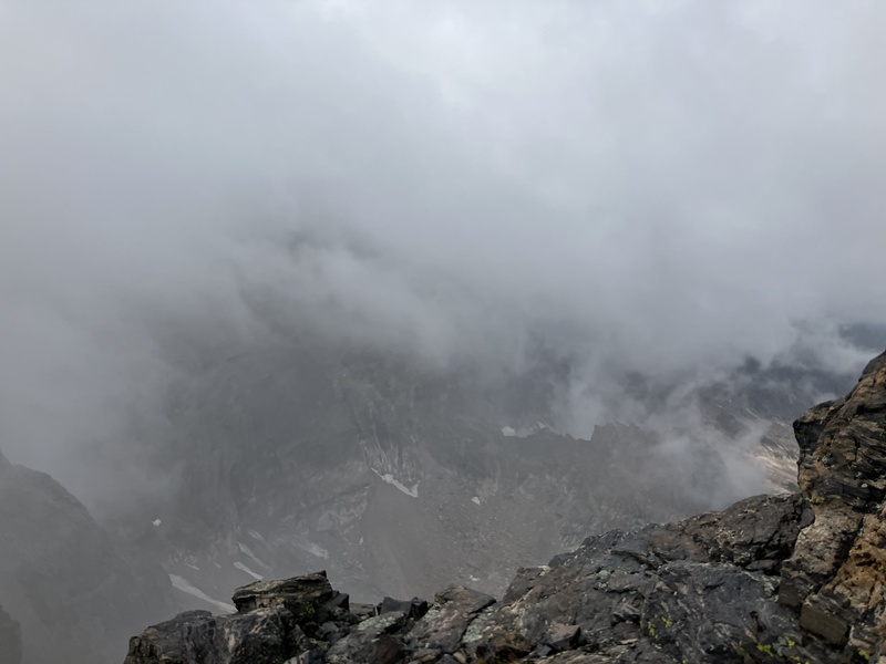
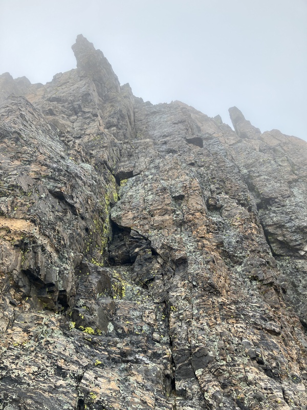
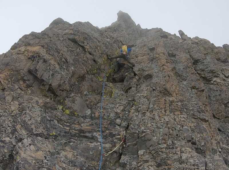
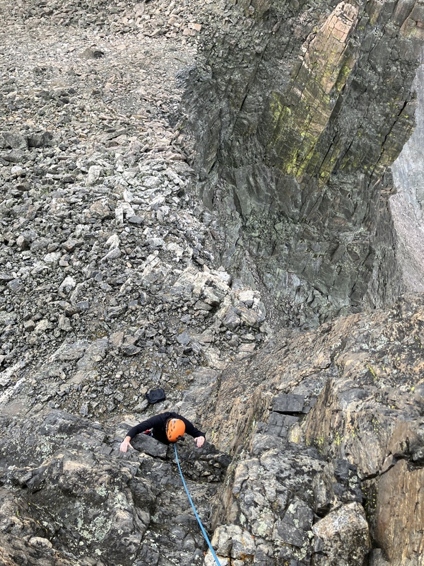
I was glad to have split the pitch to reacquire gear for the lead given how slick the rock was. Without this, I would have climbed the crux nearly unprotected and risked a fall onto some ledges below. Had the rock been dry, the climb would be straight-forward and require only a handful of placements for a competent leader. Both Andy and I felt that the route was easier than 5.8-, more in the 5.6 - 5.7 range. It was enjoyable climb the nonetheless.
Above the crux the climbing relents to scrambling. The summit is just above. The existing anchor consisted of some blue tubular webbing wrapped around large boulders on the summit and some yellow cord woven through an elusive crack. Both seemed to be in questionable condition, so I backed it up with my own webbing. After ten minutes vainly attempting to following the yellow chord through its elusive crack and lacking the length to coincide with the blue webbing, I slung a single boulder to supplement the existing anchor. I went down first to make sure the rope would reach the ground and Andy soon followed. 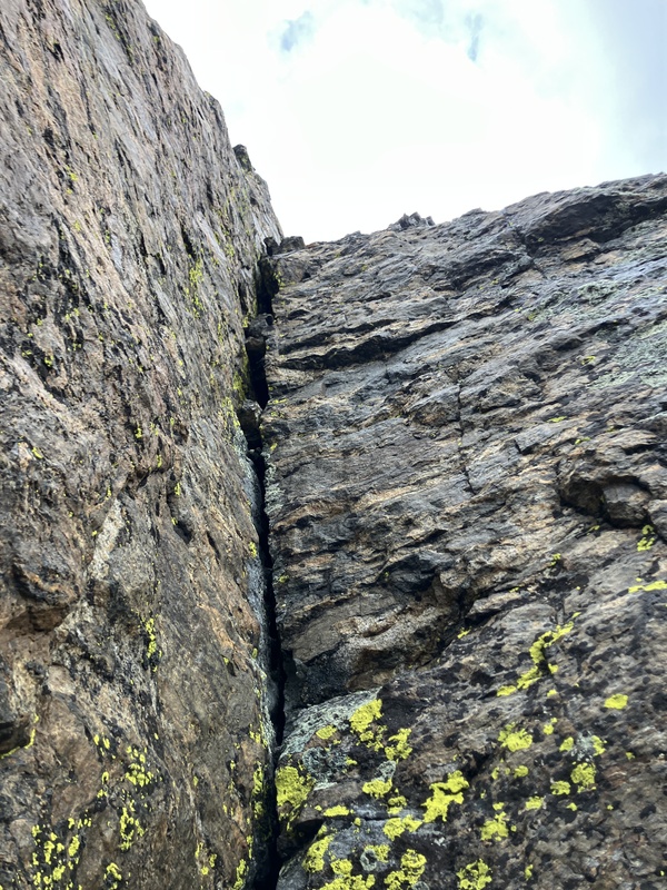
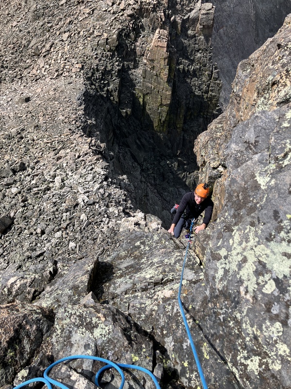
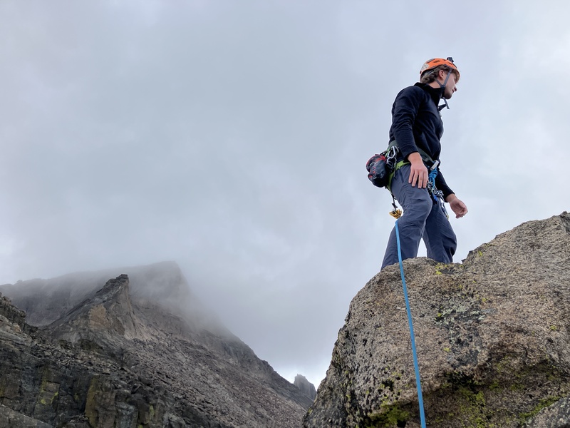
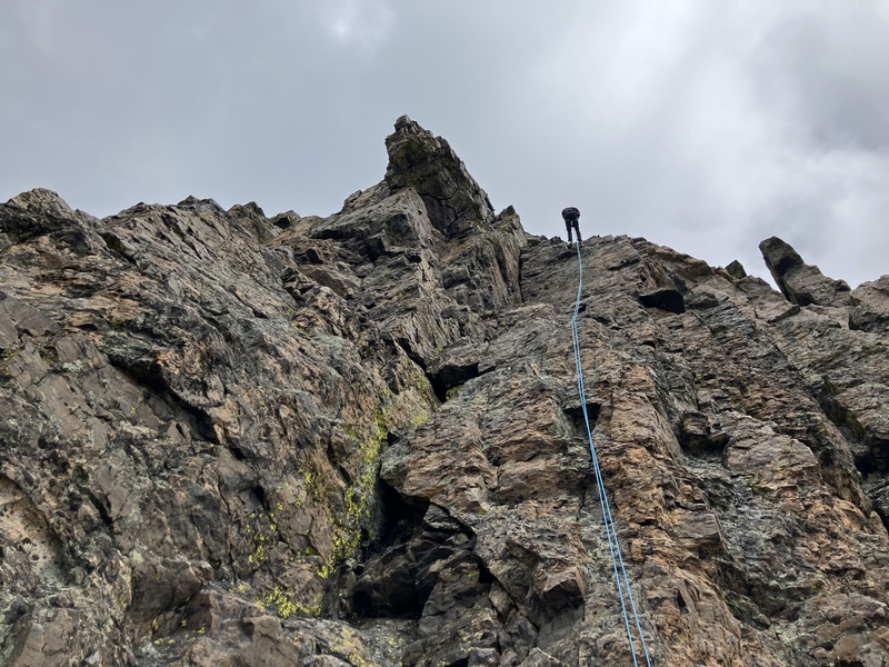
Back at the base of the tower we packed away our gear and began the descent down into the Glacier Gorge. It was an ambivalent descent for me—Keyboard of the Winds being my final 13,000-foot summit in the Glacier Gorge area, so I would no longer have to endure the park crowds or complicated entry system, but would have little reason to return to the beautiful area on my quest for 13ers (at least in the summer.)Back in the trees, we spent the remainder of the hike out under whispers of rain and lightning, happy with our efforts.
Thumbnails for uploaded photos (click to open slideshow): 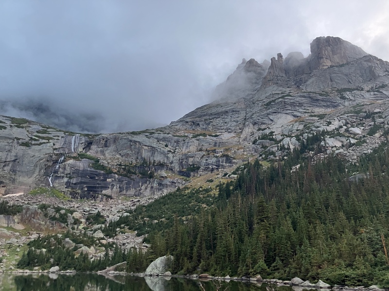
|
| Comments or Questions | |||
|---|---|---|---|
|
Caution: The information contained in this report may not be accurate and should not be the only resource used in preparation for your climb. Failure to have the necessary experience, physical conditioning, supplies or equipment can result in injury or death. 14ers.com and the author(s) of this report provide no warranties, either express or implied, that the information provided is accurate or reliable. By using the information provided, you agree to indemnify and hold harmless 14ers.com and the report author(s) with respect to any claims and demands against them, including any attorney fees and expenses. Please read the 14ers.com Safety and Disclaimer pages for more information.
Copyright: Route information, text, risk factors, maps, GPX files, charts, photos, 14ers.com-created map imagery, flythroughs, and other content provided in this route description are copyrighted by 14ers.com and may not be copied, reproduced, republished, distributed, modified, or used to create derivative works without prior written permission.
Please respect private property: 14ers.com supports the rights of private landowners to determine how and by whom their land will be used. In Colorado, it is your responsibility to determine if land is private and to obtain the appropriate permission before entering the property.



