
| Report Type | Full |
| Peak(s) |
Mt. Shasta, CA (14,179') Mt. Hood, OR (11,249') |
| Date Posted | 09/16/2025 |
| Modified | 09/22/2025 |
| Date Climbed | 05/22/2025 |
| Author | glodder |
| Mt. Shasta/Mt. Hood, May 2025 |
|---|
|
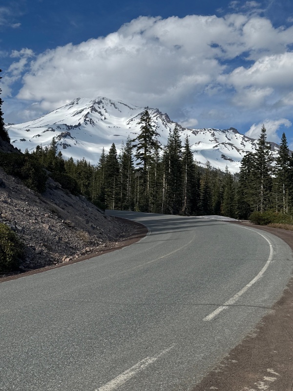
By Todd Payne, @toddsonamountain During our Mt. Rainier trip in June 2023, Steve, Mark, Brad and I talked about an eventual combination trip west to climb Mt. Shasta and Mt. Hood. Obviously Mt. Shasta was on our list as a California 14er, and Mt. Hood also was interesting due to its state high point status in Oregon. With all of us being from Kansas or Colorado, a combination of climbing these two peaks on one trip would make sense, relatively-speaking. The 5-hour drive between the two peaks is totally doable. As Winter 2025 approached, we started talking about scheduling this combination for May 2025. The trip came together, and we planned for a trip around Memorial Day weekend. Ultimately, Brad had to back out due to conflicts, so it was Steve, Mark and me. With some quick research, we found we did not need advance reservations/permits for either mountain. Our original plan had us climbing Mt. Hood on Thursday, May 22nd (via the standard South Slopes route and Old Chute), then driving south, taking a break day on Friday, May 23rd, and climbing Mt. Shasta on Saturday, May 24th (via the standard Avalanche Gulch route from Bunny Flats). But as the trip approached, the weather looked better by flipping the two climbs. So we rescheduled and made Mt. Shasta the Thursday climb and Mt. Hood the Saturday climb. This affected our flight plans, hotel plans, and rental car plans, so we scrambled and made those changes successfully. We all had flights to Sacramento for Wednesday, May 21st (Steve and I from Kansas City and Mark from Denver), and we arrived within about 30 minutes of each other at the Sacramento airport during the noon hour. We then obtained our rental car (a Ford Exhibition), and began our drive north on I-5 toward Mt. Shasta, CA. We stopped at Jersey Mike’s right off of I-5 in north Sacramento for a quick to-go lunch. After a little while driving, we caught our first view of the giant Mt. Shasta. It kept dominating the view ahead of us as we approached. After a total of about 3 hours of driving from Sacramento, we arrived in Mt. Shasta City. We decided to go ahead and make the 15-minute drive up to the Bunny Flats trailhead to check things out, and we were happy we did this just to get the lay of the land. 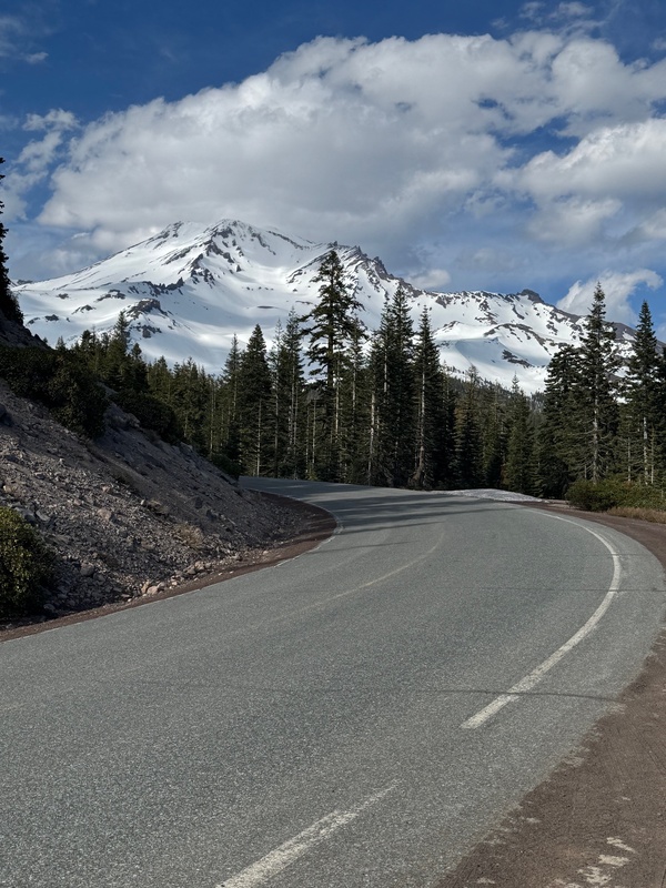
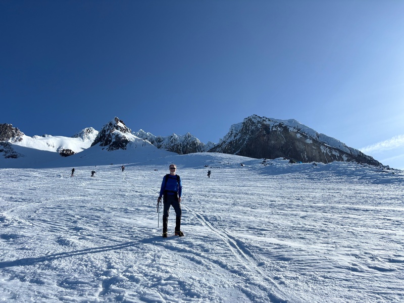
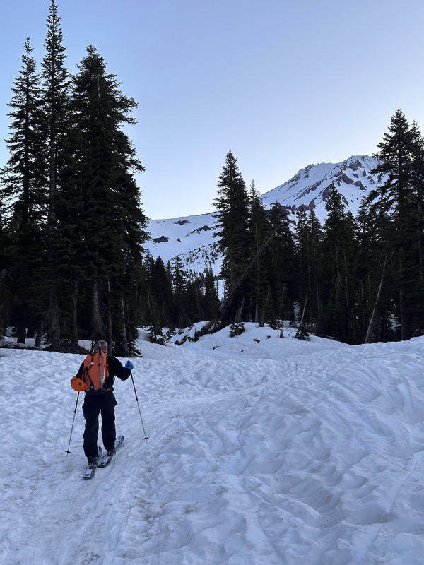
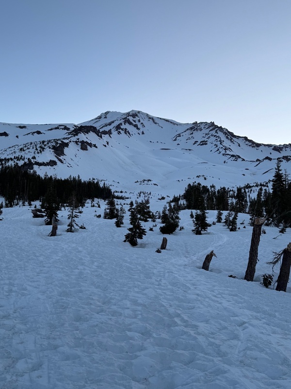
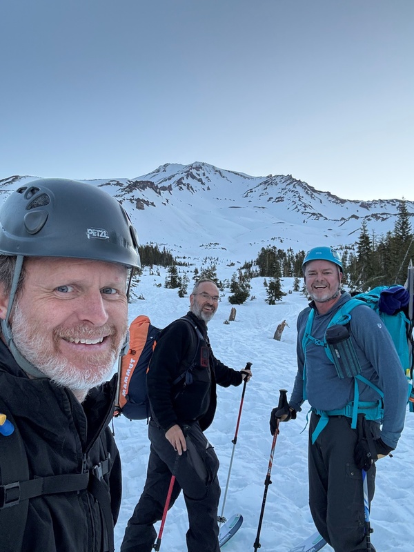
There was a spot at the trailhead to self-issue our permits and pay the $25 fee, and it was good to complete this process real quick on the night before our climb. After familiarizing ourselves with the trailhead area, we returned back to Mt. Shasta City and checked in to our hotel, the Best Western Plus Tree House, which was a nice spot. We ate dinner on this night at Sparky’s Landing and this was a good dinner. After returning to our hotel, we organized our gear and went to bed at around 9:30. Our wake-up time was 4:00 a.m., for an approximate start on Mt. Shasta’s trail at about 5:00. Steve and Mark were planning on skinning up on their skis and stashing their skis up high somewhere and then skiing down from there. I am a terrible skier so I planned on just hiking and looking out for safe areas to potentially glissade on the descent to save some time. In addition, our research revealed that harnesses, ropes, etc. would not be necessary for this climb of Mt. Shasta, at this time of year and due to the current favorable conditions on the mountain. The alarm sounded, and we quicky got dressed, out the door, and on our way up to the trailhead. We arrived at the trailhead which was at about 6,900’, and Steve and Mark started work on their skins and getting their skis situated, while I walked over to the trail beginning and sat down to put on my crampons. As I finished getting the crampons affixed, Steve and Mark arrived and were ready to go. We started out on the obvious trail at about 5:15 a.m. This trail was pretty gentle all the way up to treeline. It was a really nice hike in the snow through the trees to get to this incredible treeline spot where we could see the whole mountain in front of us. 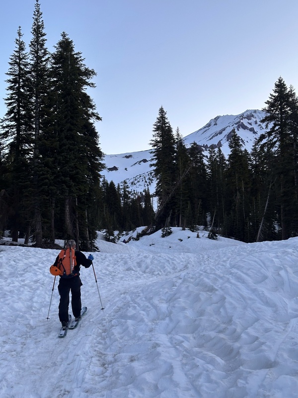
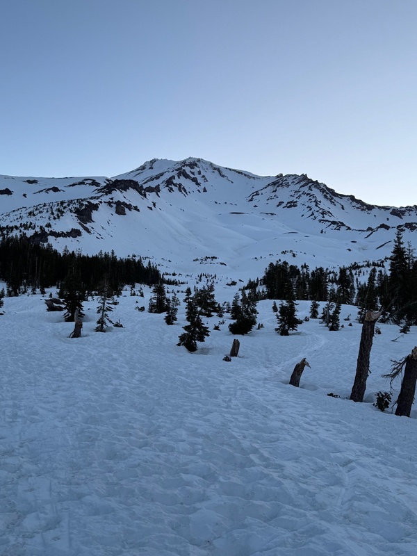
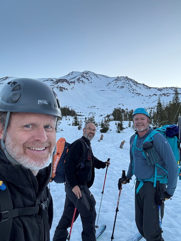
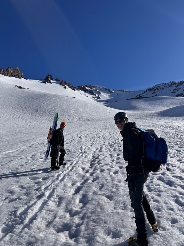
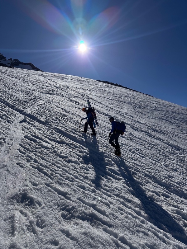
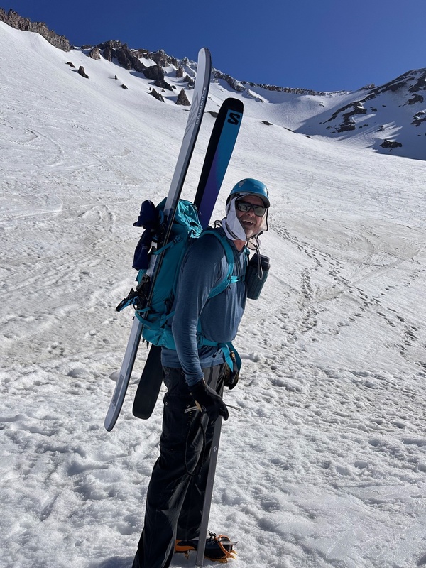
After this spot, the terrain continued to be gentle for a while. But, the ascent became much more difficult when we arrived at an obvious wide trench where the upslope was significantly steeper. Steve and Mark took off their skis at this point and put on their crampons, continuing to carry their skis up. This steep terrain continued through an obvious, wide, zig-zagging trench all the way up to the point where we reached Lake Helen at approximately 11,500’. 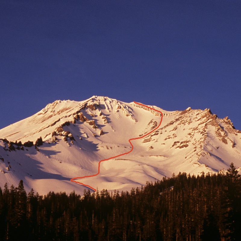
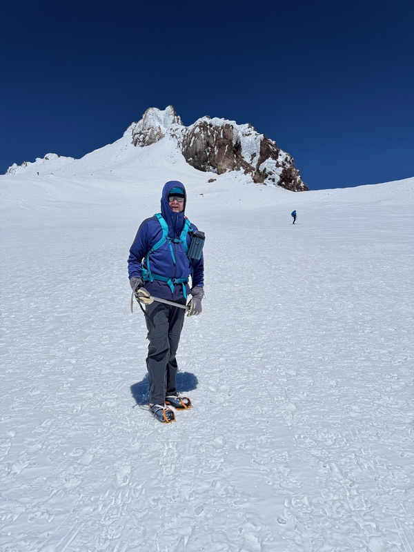
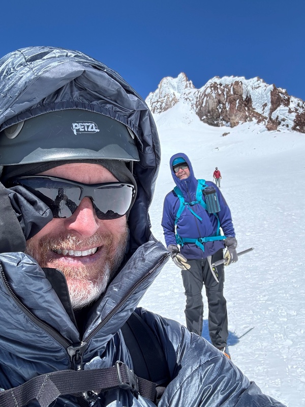
Lake Helen wasn’t much of a lake. We could probably tell that later in the season, maybe snow melt would turn into water here. But it was all snow here in late-May. From Lake Helen, we ascended a wide slope aiming toward an obvious steep couloir heading up toward the Red Banks and the Thumb at the ridgeline. This whole area from Lake Helen up to the ridgeline was a brutally steep snow climb that definitely tests your work-out routine. Pics from this area: 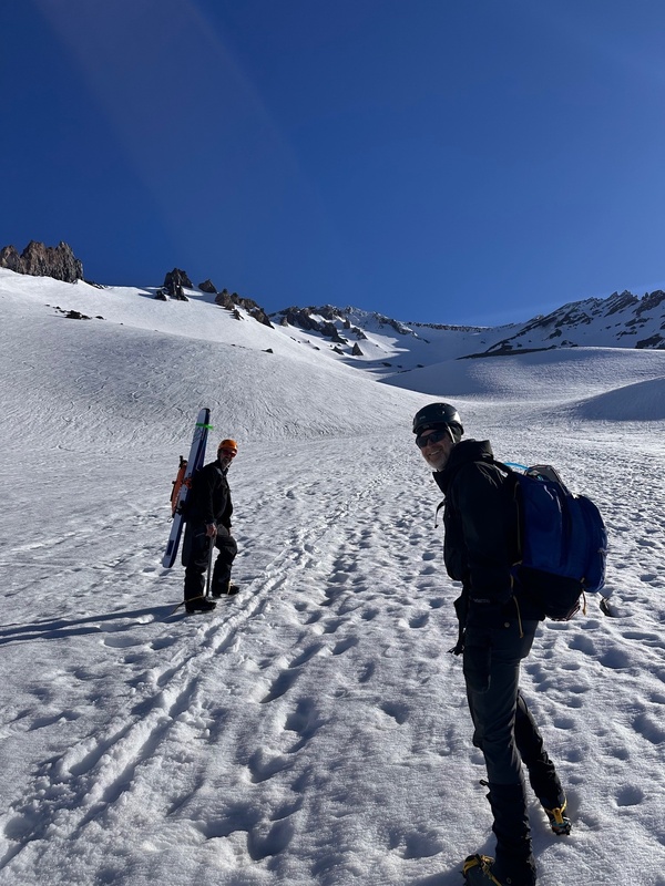
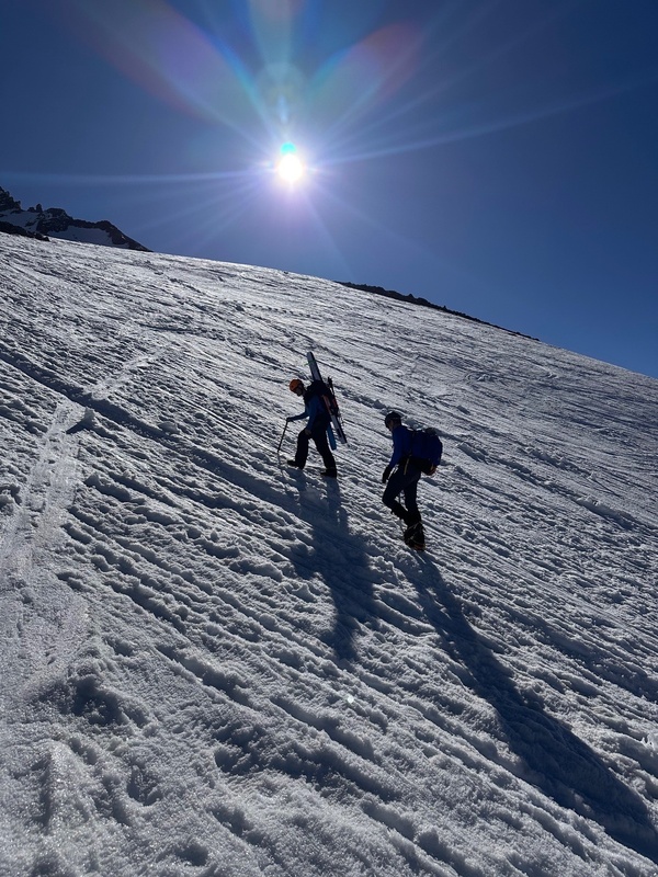
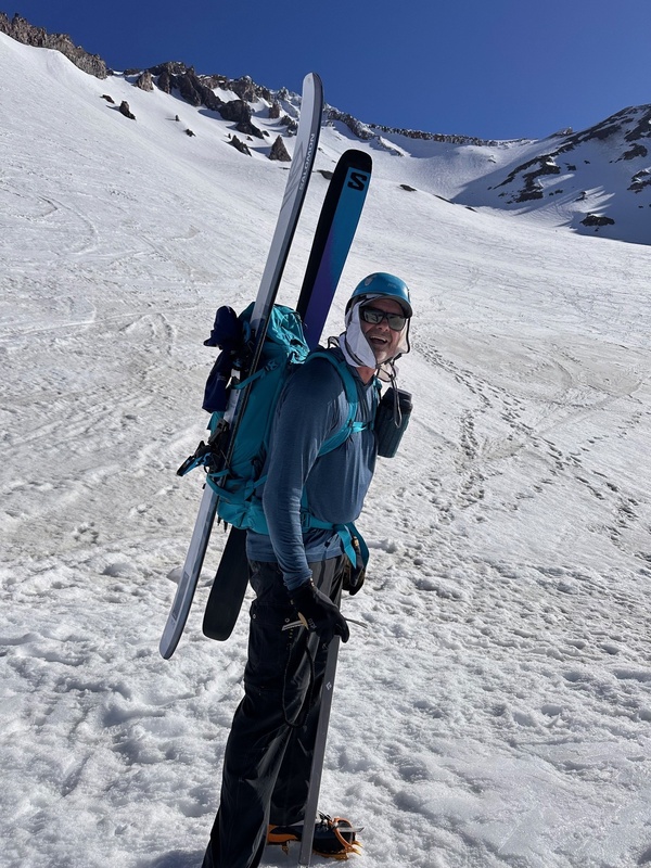
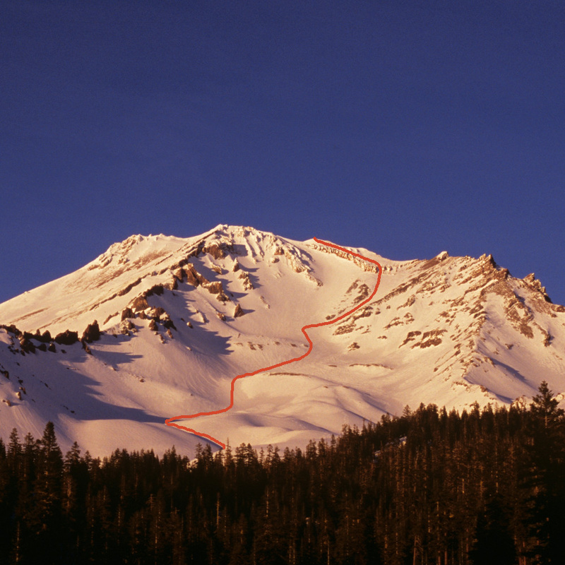
We plowed up this couloir and stopped to rest a few hundred feet below the Thumb, and we were below the upper portions of the Red Banks here. I had noticed “butt tracks” in the snow all the way up the couloir, indicating that climbers had glissaded down this couloir on the descent. I thought maybe after an evaluation of the conditions later, it would be possible for me to do the same thing. At this point, other climbers ahead of us had gone different directions. We decided to make a left turn and not go toward the Thumb, and instead ascend a chute through the Red Banks (similar to the red line route on the pic above... we were probably slightly right of where the red line goes through the Red Banks). This choice was a good one, and we were able to top out on the ridge at about 13,000’ after 20 minutes of climbing up from our rest spot. Once at the ridge, it was obvious the route takes a left turn and climbs up the broad ridge. Before beginning this section, Steve and Mark stashed their skis, and I stashed my snowshoes here too. I also put on my puffy as it was cold up there. The forecast for the summit was a high of 5 degrees with wind chills below 0, and up here on the ridge it definitely felt that cold. Once we got going up the ridge, it felt a bit warmer since we were moving. We made our way up the broad ridge, and eventually got a look at Misery Hill. This was also steep terrain and was slow-going on the plow up to Misery Hill. It was a relief to finally make it up to the top of Misery Hill. The view of the Mt. Shasta summit from Misery Hill was pretty incredible. It was also demoralizing though, because it still looked far away and ferocious, and as if we still had a huge effort ahead of us. But it wasn’t nearly as bad as we thought, fortunately. Pics at Misery Hill and slightly beyond: 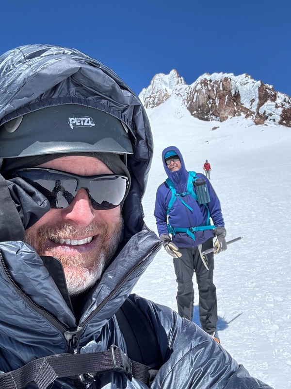
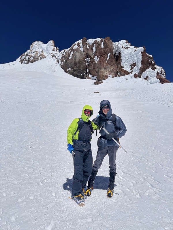
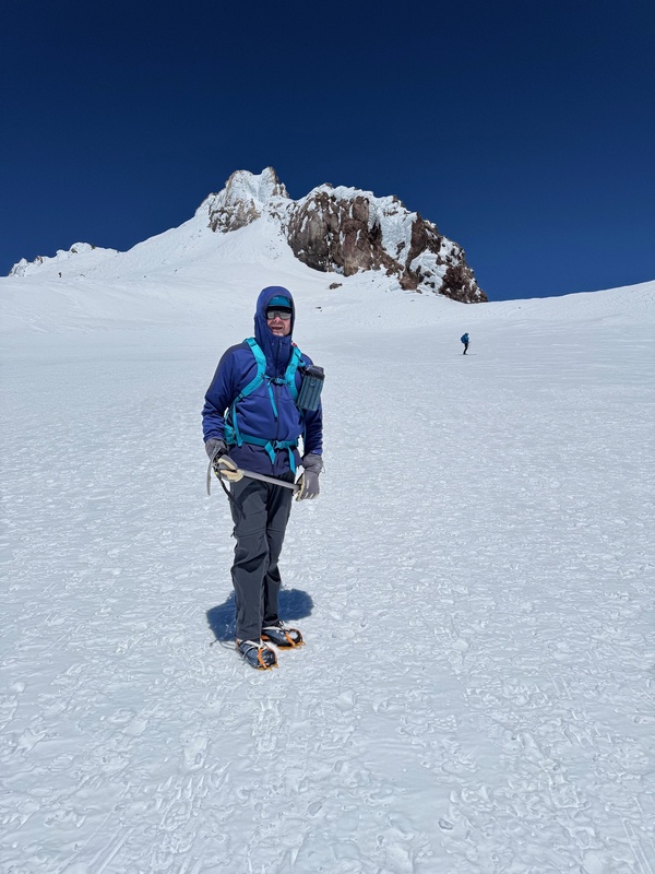
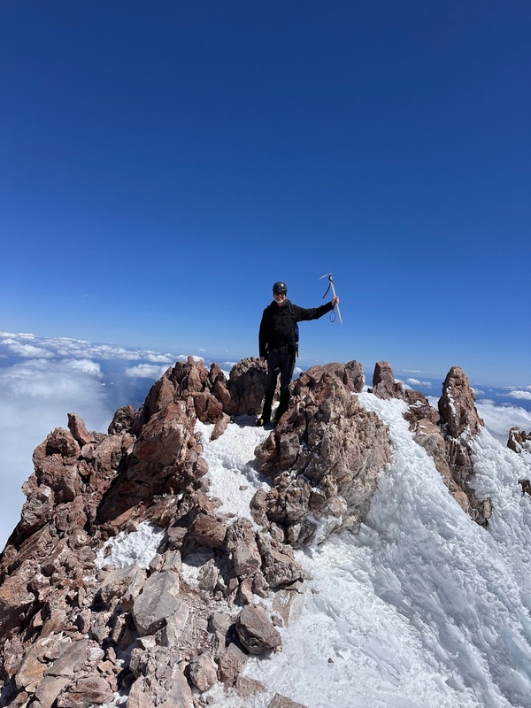
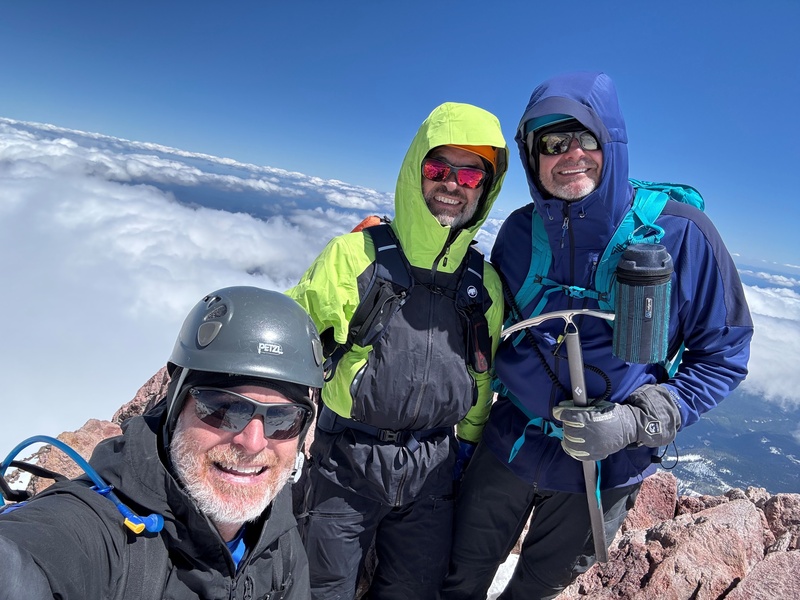
As we looked at the final summit stretch from Misery Hill, it was interesting to ponder where the actual route to the summit goes. The final summit stretch looked extremely exposed and difficult to reach. We determined that we needed to first hike on gentle terrain over a bump on the left side of Mt. Shasta, reach the ridge behind the summit, and come up from the back side of it. That’s exactly what we did and we were perfectly on route by doing this. During this section, it felt warmer than it had earlier below Misery Hill, and I took off my puffy here. It took us about 30 minutes to reach the summit from Misery Hill. What a summit! It was airy and incredible up there! The summit elevation is 14,179’. 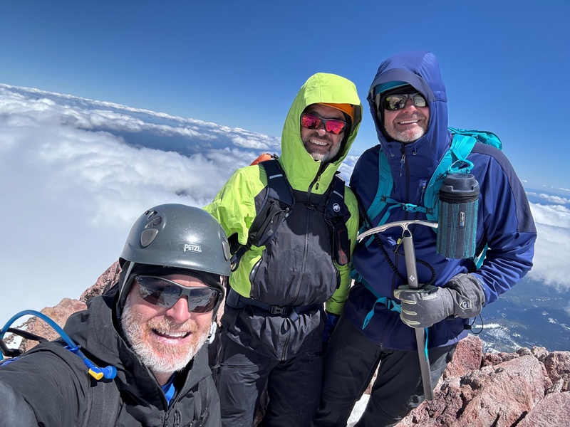
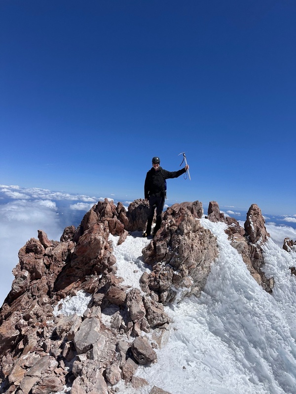
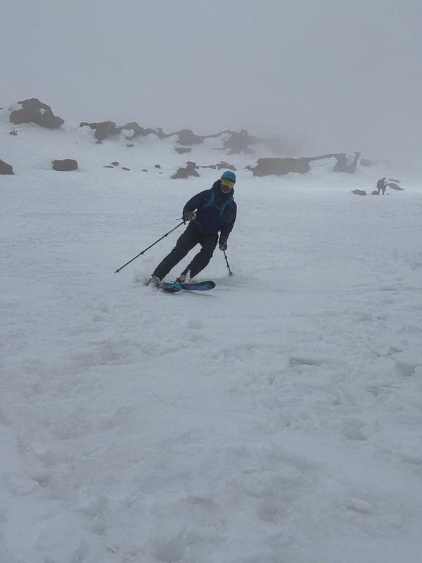
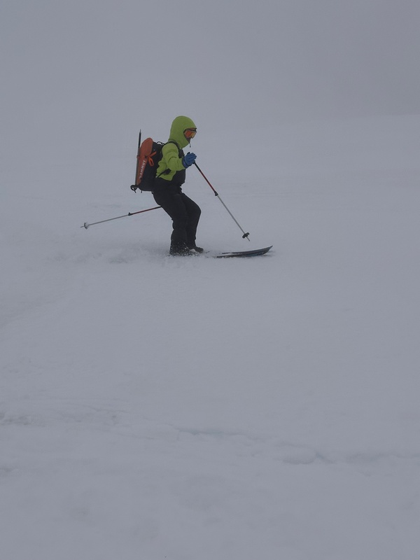
We arrived at the summit at 2:15, so it was about 9 hours from the trailhead to the summit. We snapped a few pics and explored the summit for a bit. Some rock was exposed up there in spots where snow had blown off the summit. There were two different spots about 50 feet apart which could have been highpoints, and we summited both of them. And interestingly, it did not feel as cold up here on the summit as it did earlier when we first reached the ridgeline. After about 15 wonderful minutes up there, we began our descent. Clouds had built up below us all around the mountain. We were above the clouds here, and they did not appear over-threatening to us. We made our way back down to Misery Hill and then back down the ridge to the point where we had stashed our skis and snowshoes. Steve and Mark took some time to get situated with their skis, while I continued back down into the couloir below the Red Banks and the Thumb. As I descended into the couloir, we kind of caught up to the clouds which had been below us, but we still did not consider them threatening at all. The snow had softened a bit but not too much, and I thought the conditions would be perfect for glissading. I traversed over to a “butt track”, and sat there and took off my crampons. After getting totally situated, I started my glissade. The slope had a perfect amount of steepness for a consistent glissade but not too steep where I felt I would lose any control at all. Toward the beginning of my glissade, I saw Steve and Mark ski by me on my right. 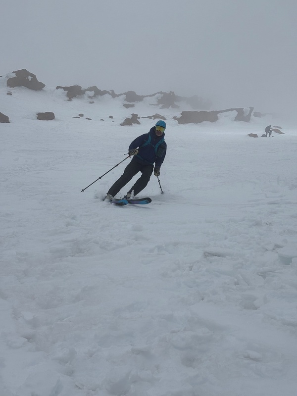
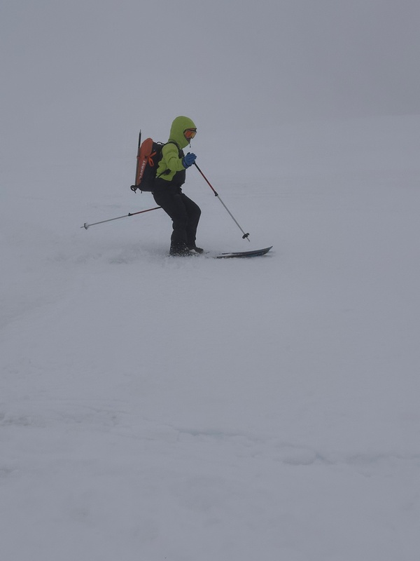
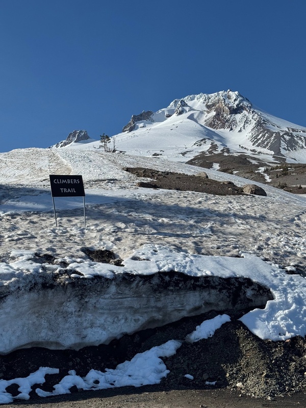
I continued my glissade and was back down to Lake Helen within about 15 minutes of my glissade start. Steve and Mark had waited for me here and were surprised how quickly I arrived. We talked for a minute here, and their plan was to go ahead and ski back all the way to the trailhead, and I would make my way down and meet them there later. I was able to glissade probably another 1,500 feet of elevation from Lake Helen in various different spots. Some of the terrain was steep enough for a glissade, some not. But once I got down closer to treeline, the terrain definitely was not steep enough. I put on my snowshoes here and descended the remainder of the route in the snowshoes. They were helpful in the relatively soft conditions but probably not completely necessary. On my trek down between Lake Helen and treeline, the clouds kind of dissipated, and it was a beautiful afternoon/evening on the remainder of the hike. I arrived back at the trailhead at around 5:45. Steve and Mark had returned to the trailhead at about 4:30, so I was about 1.25 hours behind them. They had been situating their gear and did not have to wait too long for me after they had finished their organizing. It was a 12.5-hour round-trip for me. The day had covered about 11 miles round-trip and approximately 7,300’ of elevation gain. We made our way back to town. We had been talking all day about having a great dinner in Mt. Shasta City at Pipeline Craft Taps & Kitchen, which is right next door to Sparky’s Landing where we had dinner the previous night. Pipeline was perfect for an after-climb dinner and brews! We discussed where to drive to on our way up north that night. We decided on Ashland, WA and we made a reservation at the Holiday Inn Express there. The next day, we planned to drive through Crater Lake National Park on our way toward Mt. Hood. We drove to Crater Lake’s south entrance and found out the rim road was not completely open yet for the summer due to snow that had not yet been cleared from the road. We also discovered that this is typical for May at Crater Lake. Our research beforehand did not reveal this. So we stopped at the South Visitor’s Center for a bit and we were able to take in some great views of Crater Lake from that perspective. We then drove back out of the Park to the southeast, over to U.S. Highway 97, and then started making our way north toward Mt. Hood. We stopped in Bend, OR for lunch at the Deschutes Brewery (Bend Public House). This was a great place to visit, and the food and beer was very good. We then continued our drive north, and very shortly after we left Bend we began to have a great view of Mt. Jefferson to the west. At Madras, OR, we veered northwest on U.S. Highway 26, and at this point, since we were driving straight toward Mt. Hood, we began to have views of the incredible mountain, and our goal for the next day. It was pretty exciting as we drew closer to the mountain. Once arriving in the Government Camp area, we decided to go ahead and drive up to Timberline Lodge to scope out the area and pinpoint exactly where we would be starting our climb in the morning. We went inside of the Lodge briefly and it was a pretty cool and historic place. After checking out the area, we found the Palmer Glacier Trailhead, marked by an obvious sign saying “Climbers Trail”. This trailhead was right by a parking lot below the Lodge, on the right side as you initially approach the ski area and the Lodge. By finding this trailhead, we now had good insight into where we needed to go in the morning. 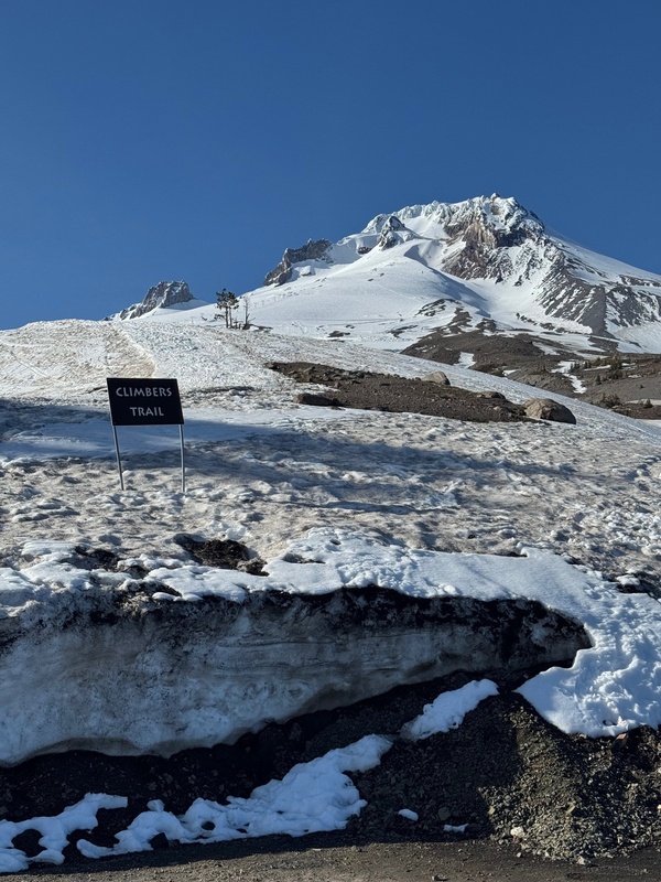
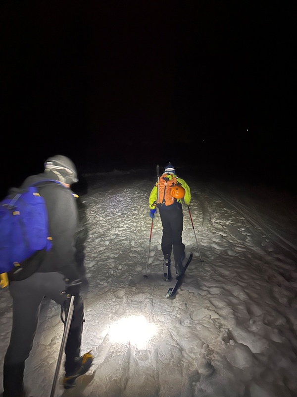
We then drove back to Government Camp to our hotel, the Best Western Mt. Hood Inn. (We would have stayed at the Timberline Lodge, but the prices were pretty ridiculously expensive.) The Mt. Hood Inn was a good place to stay (if you can call it a “stay”… really, we just rested for a few hours). As we unpacked our gear and got everything ready and packed up again on that evening, it was kind of getting later than we expected. The closure at Crater Lake had put us behind by 1-2 hours or so. We were able to get everything ready to go by about 7:30 p.m., and we tried to get a few hours of sleep. Wake-up time was 11:00 p.m., for an approximate midnight start-time on Mt. Hood. On the issue of whether to take harnesses, ropes, etc. on Mt. Hood, we determined it was not necessary or even a good idea. (Ultimately, we did not see anyone on the mountain roped up.) We followed the 11:00 p.m. wake-up plan, and when we arrived at the Mt. Hood trailhead parking lot at about 11:50 p.m., the lot was absolutely packed full. We were shocked at this. Originally we were thinking about a 2:00 a.m. start-time, but backed it up to midnight thinking we could avoid some crowds by doing this. This prediction was slightly off. Obviously, many, many people were interested in climbing Mt. Hood on this Memorial Day weekend Saturday which had an outstanding weather forecast. We did find a parking place though, pretty much the last one available in this lot adjacent to the trailhead, and we got our gear together. Steve and Mark again worked their skins on to their skis, and I walked over the trailhead to put on my crampons. At 12:10 a.m., we started our hike! This trailhead is at 5,800 feet. The first part of the route was a groomed snow trail up the far right side of the ski area. This area was not too steep and was kind of a gentle beginning to the day. 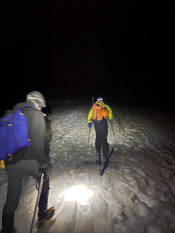
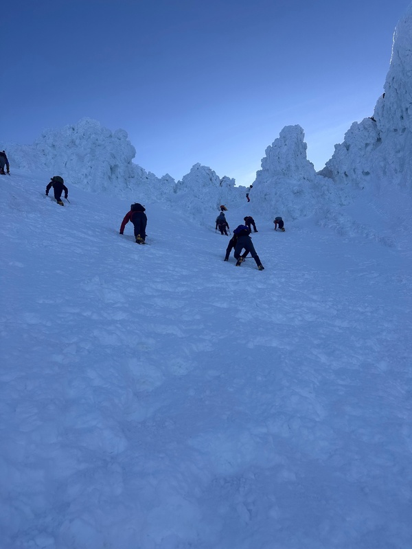
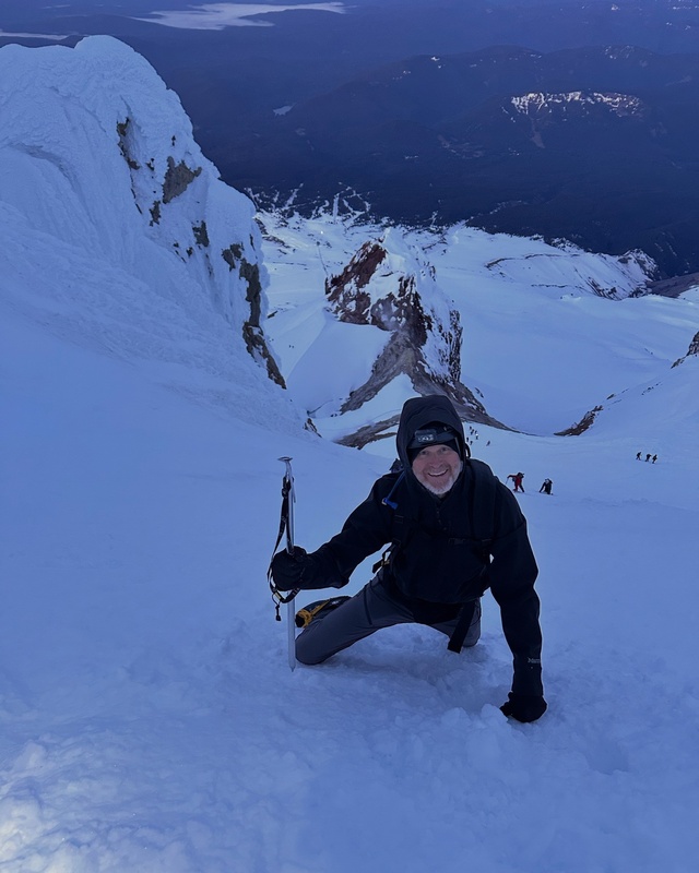
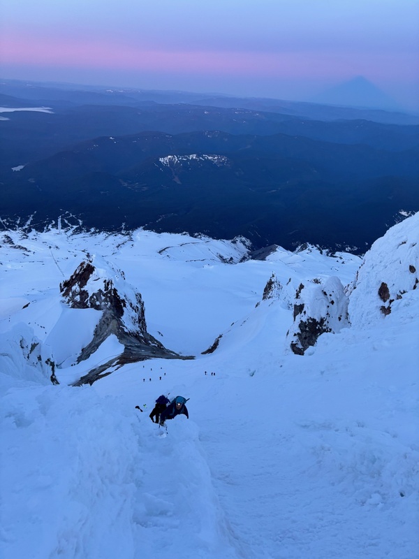
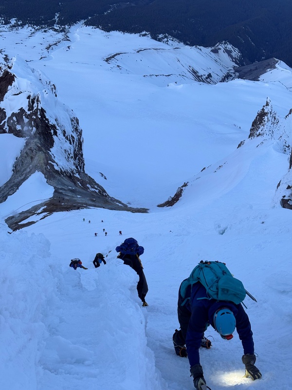
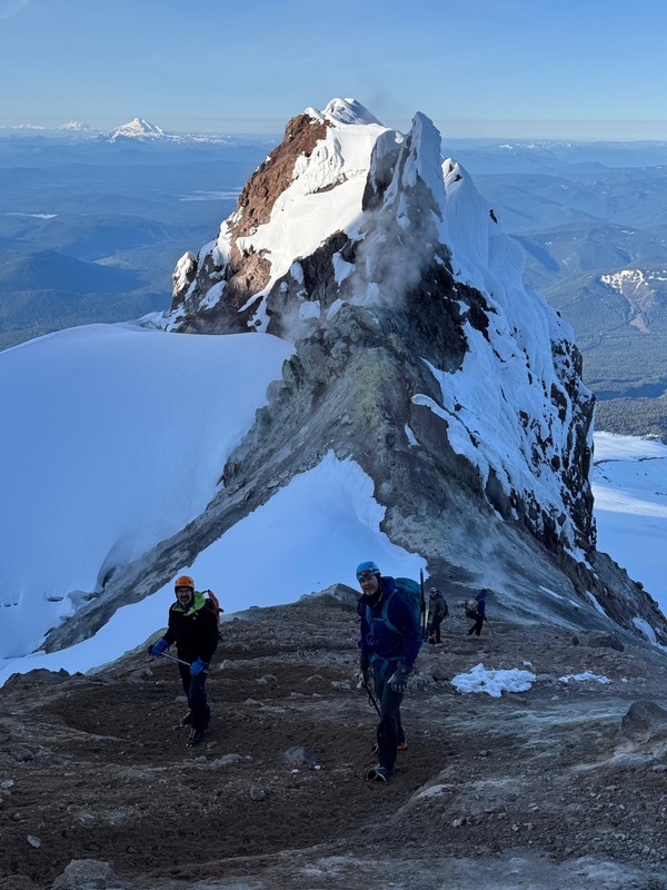
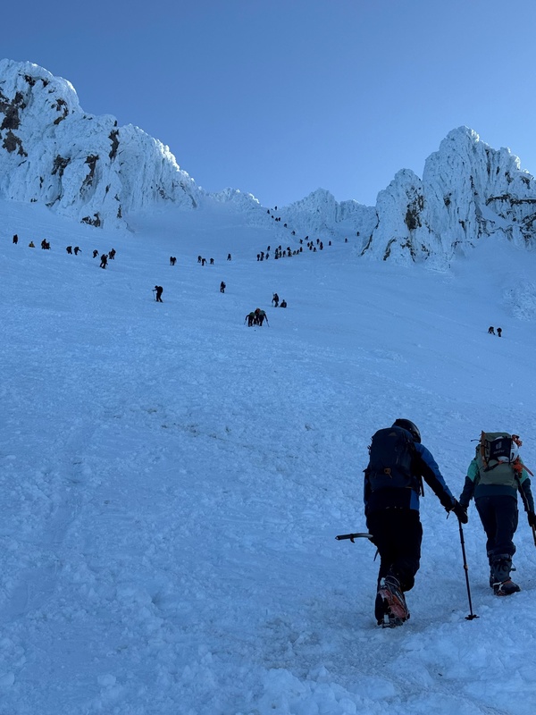
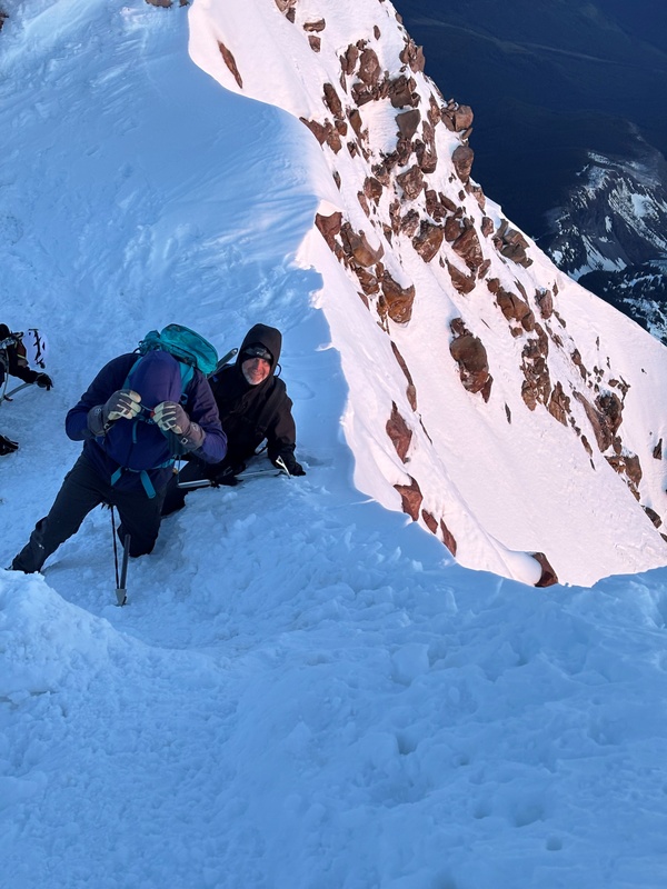
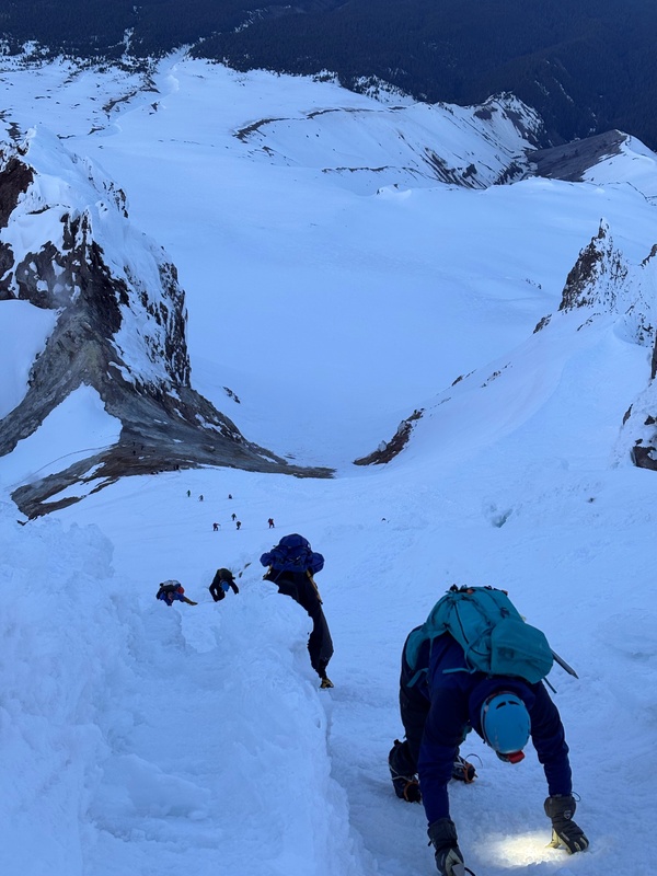
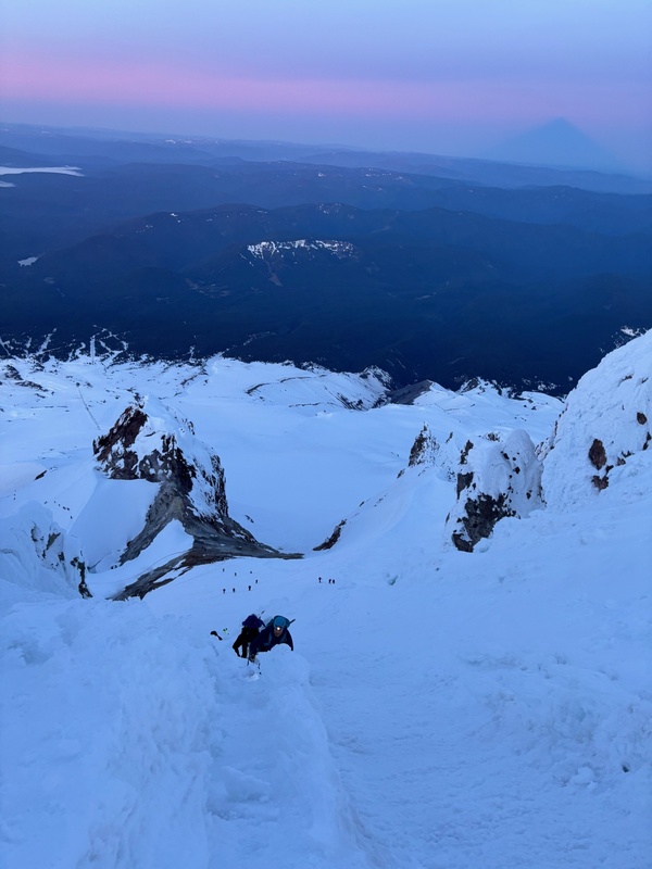
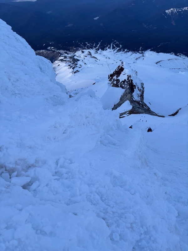
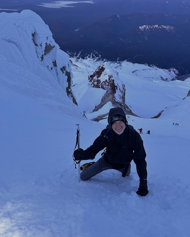
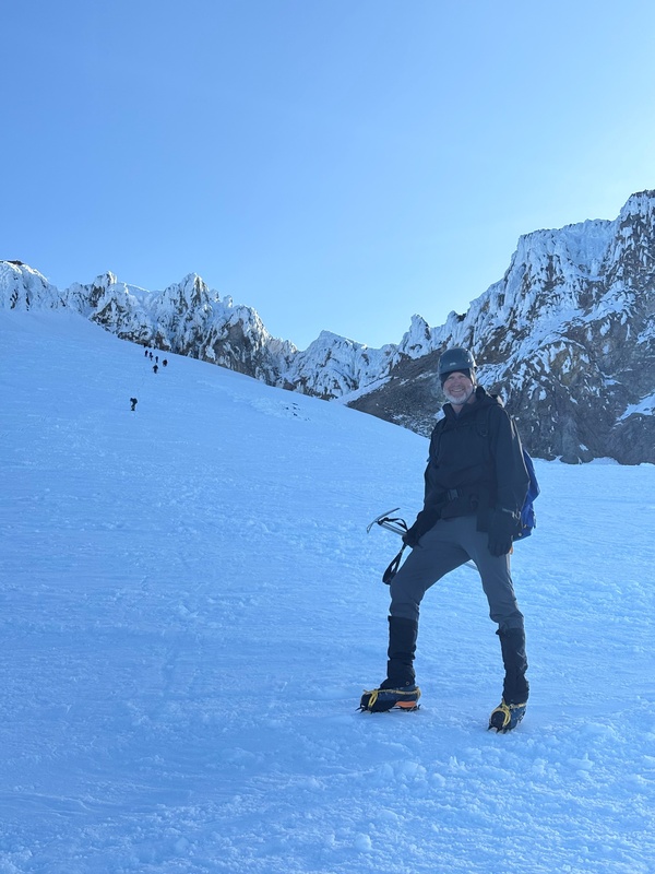
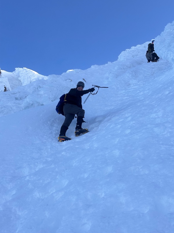
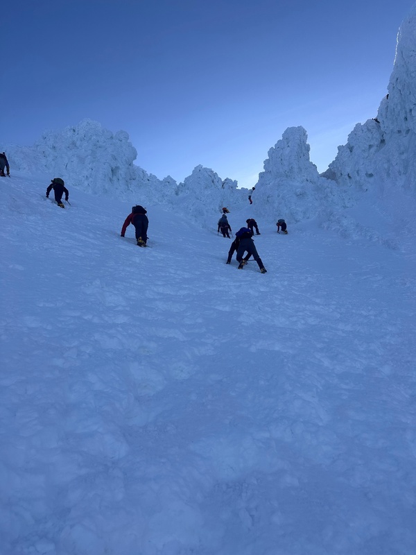
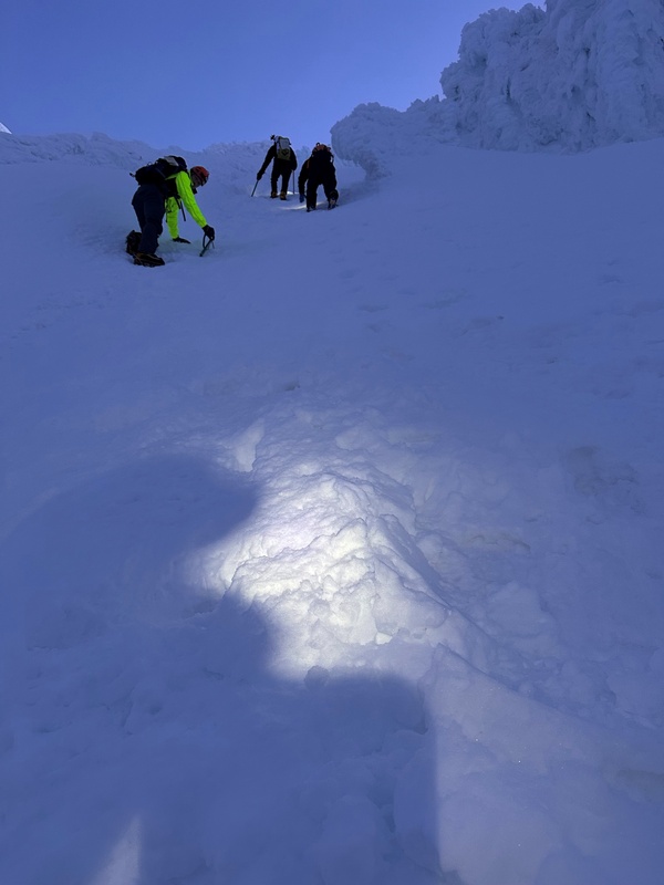
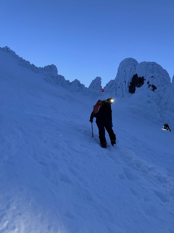
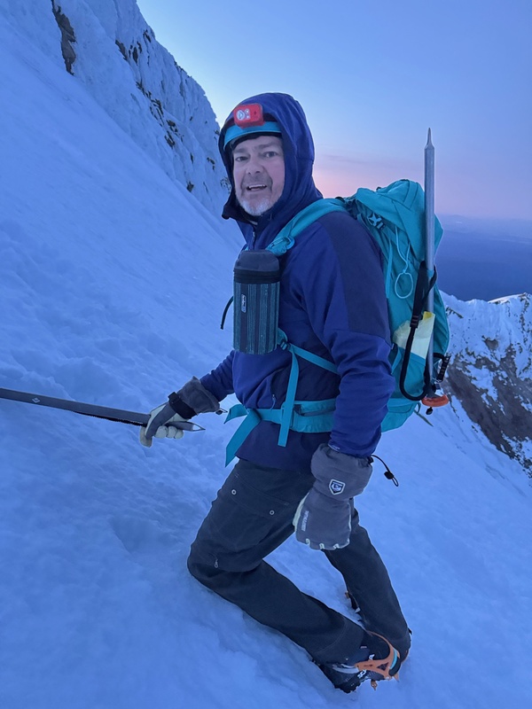
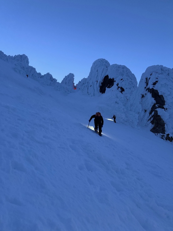
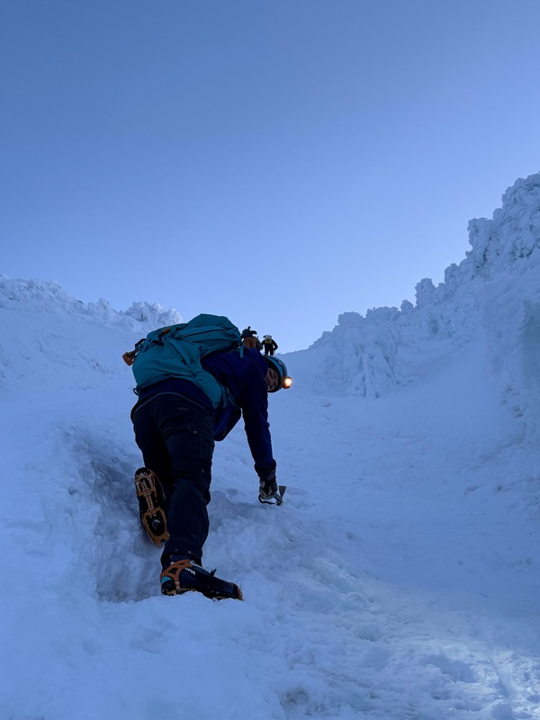
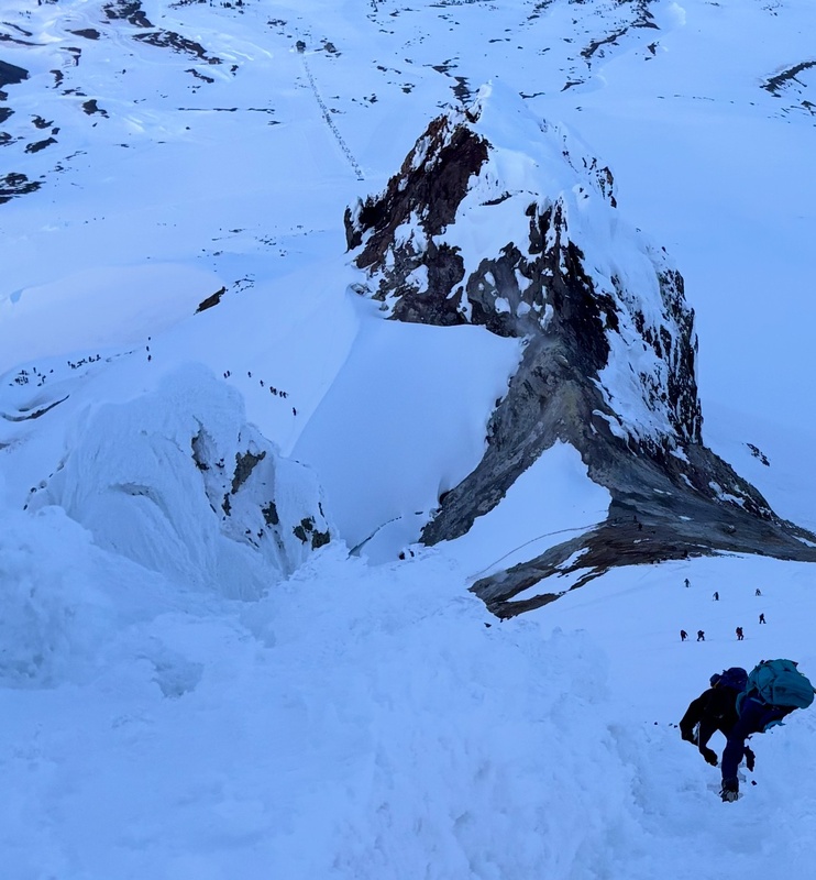
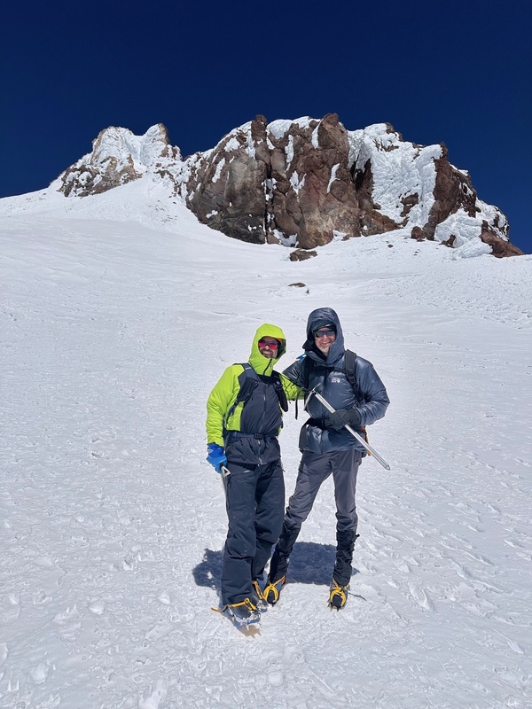
We made our way up this section pretty quickly, finally to a groomed snow road of sorts. This spot was at the top of the Palmer Lift at approximately 8,500’, and essentially at the top of the ski area. Steve and Mark took their skis off here and put on their crampons, and stashed their skis here. We veered over on the “road” a bit, toward the top of the Palmer Lift, and then we turned right up the hill. It was here that the terrain became steeper. We plowed up the wide steep slope and were able to aim just to the right of a major rock formation in the distance ahead of us. We could see the silhouette of it in the dark… this is Crater Rock, and to the right of Crater Rock is Triangle Moraine, which is the spot where the Palmer Glacier narrows and essentially ends. Once reaching Crater Rock, we knew the terrain was about to get more tricky. There was a worn snow trail traversing the lower east side of Crater Rock, climbing toward the Hogsback ridge. We followed this trail for a bit and eventually reached the crest of the Hogsback beginning. It was still dark at this point, so we were somewhat ignorant of some of the interesting features/dangers of the mountain around this point. For example, while on the initial part of the Hogsback, there is a huge hole/crevasse on the climbers’ left (which we obviously observed in daylight on our descent). We were only on the Hogsback briefly, and we took a left turn on a worn snow trail at a point past this major crevasse, in order to traverse over to Hot Rocks. We began smelling the exhaust from the fumaroles just before Hot Rocks. The trail here had no snow due to the heat coming out of the fumaroles. We climbed up a set of switchbacks in this section on dirt/rock, and it was probably only about 5 minutes on terrain with no snow. We started getting some light in this area, and our timing of the light arrival ended up being perfect. Once above Hot Rocks, we were able to easily identify the final sections leading up to the Old Chute. The terrain became much steeper in this area and we definitely needed to start being more careful about our foot placements, the short end of our axes being affixed, and ensuring our crampons were biting. All of this became especially more important as we approached and entered the Old Chute. The Old Chute was an outstanding climbing section… I absolutely loved it! Crampon in, axe in, crampon in, hand for leverage, crampon in, axe in, crampon in, hand for leverage, repeat, repeat. We had a few other climbers with us in this section, but it wasn’t overly crowded or worrisome. We steadily made our way up the couloir. I was fine having just one axe, but there were other climbers with two axes and some who also brought ice tools for this section. I saw one climber with two ice tools. I saw another climber with one axe and one ice tool. Personal preference here, but it is totally doable and fine with only one axe. Pics in the Old Chute area! 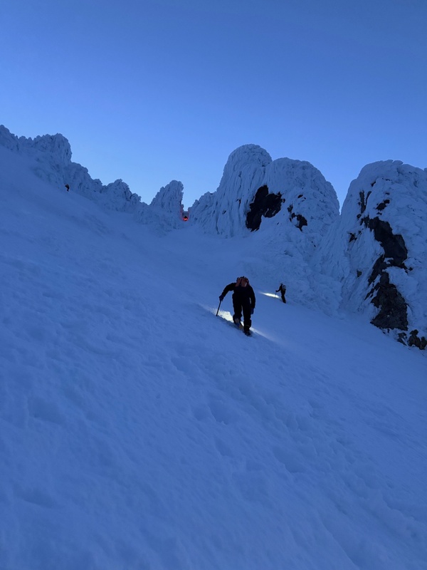
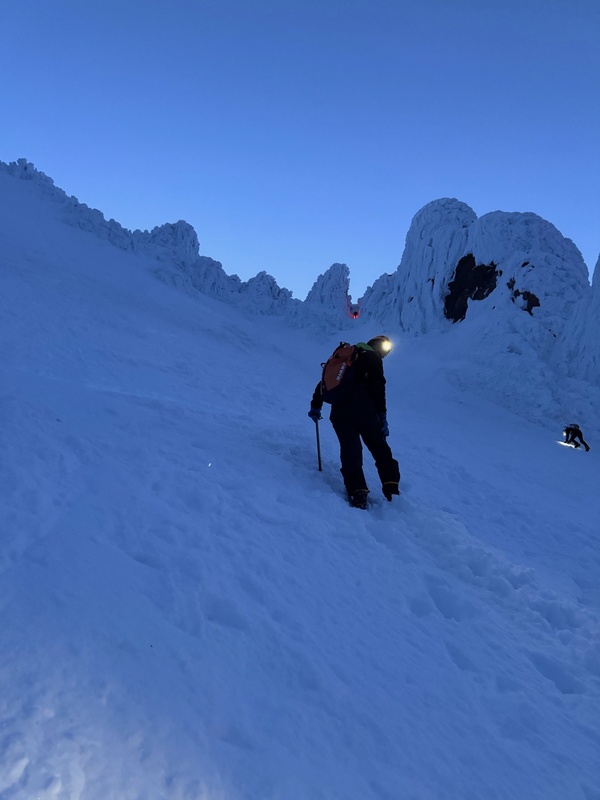
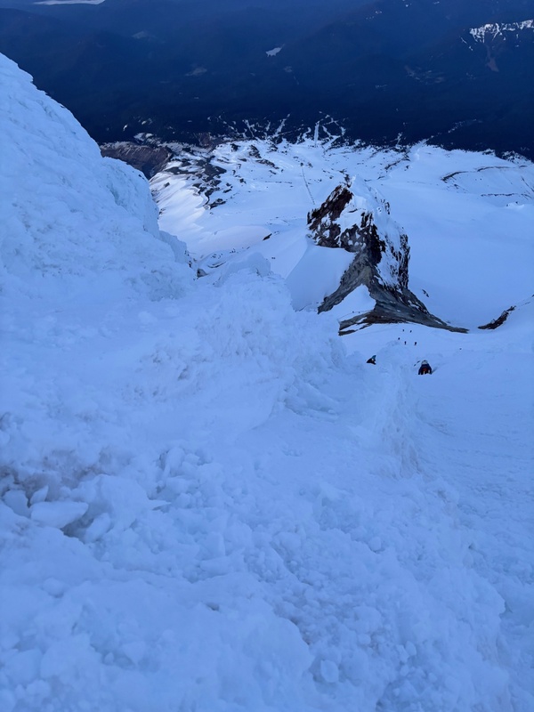
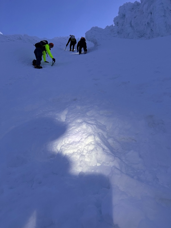
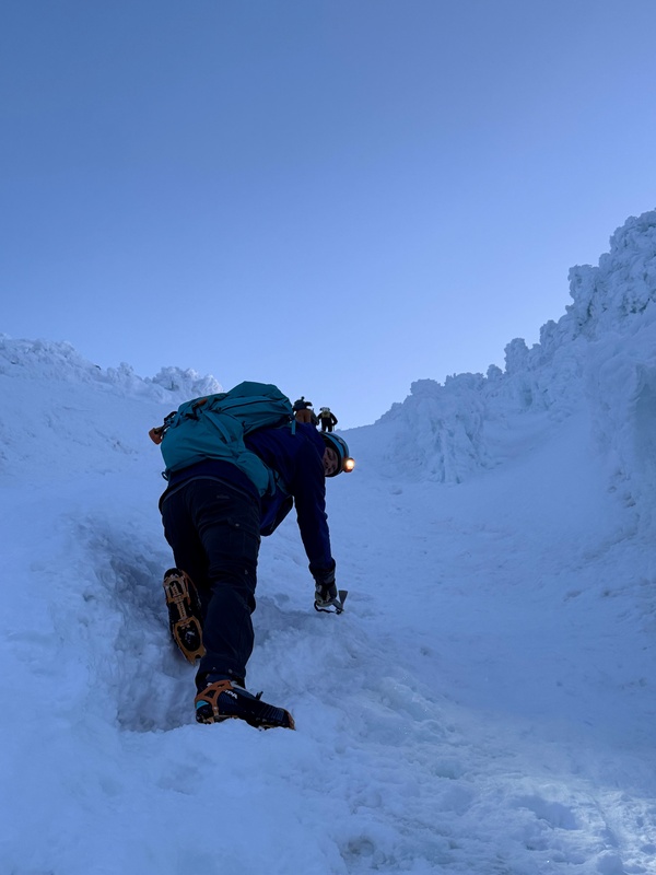
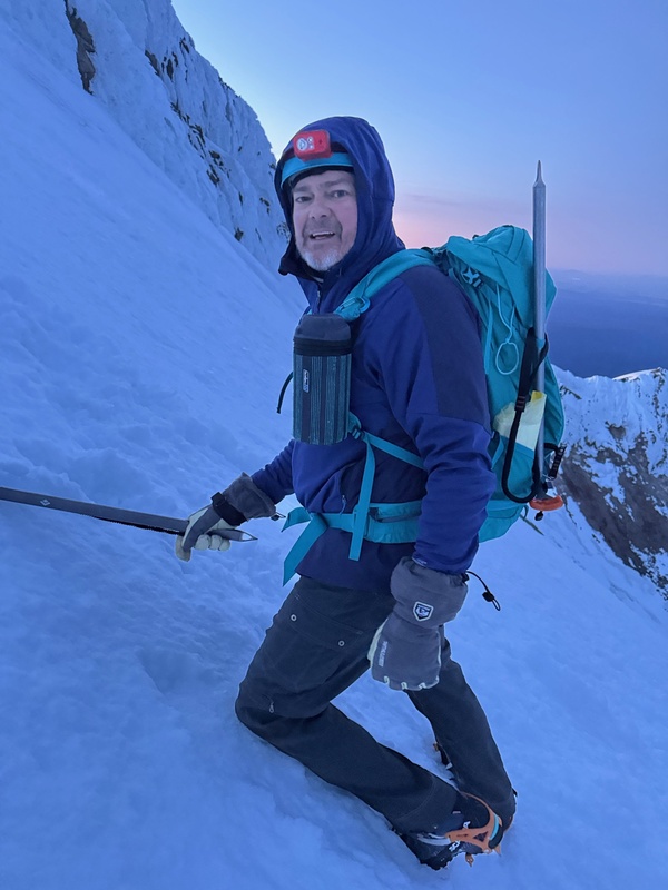
After the fun climbing in the Old Chute, we arrived at the top on the ridgeline, which was a wonderful spot. There was a nice small cornice at the top of the couloir hanging over the other side of the ridge. Obviously we made sure not to stand too close to that area. 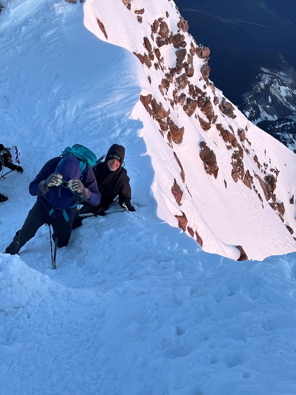
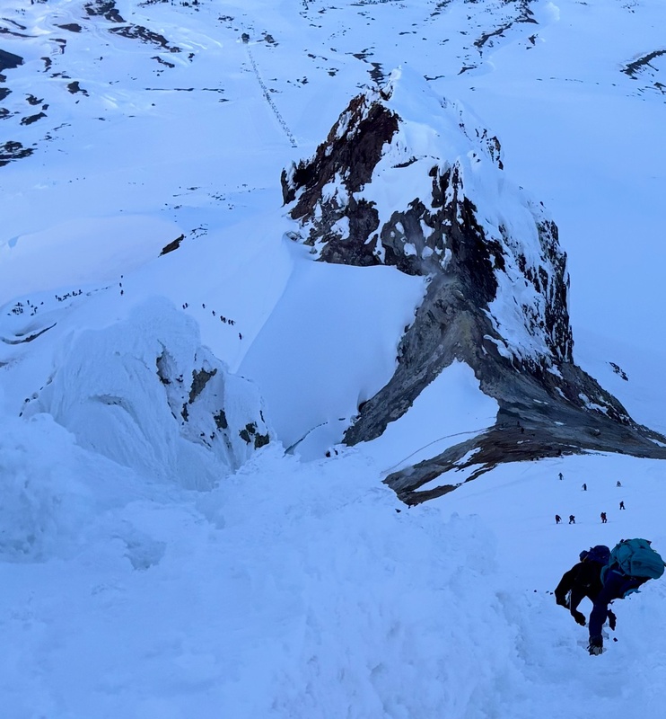
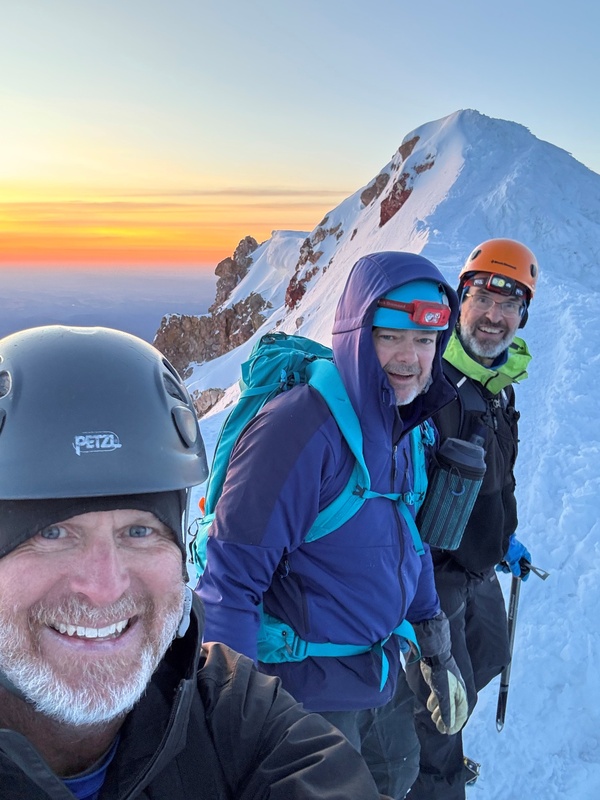
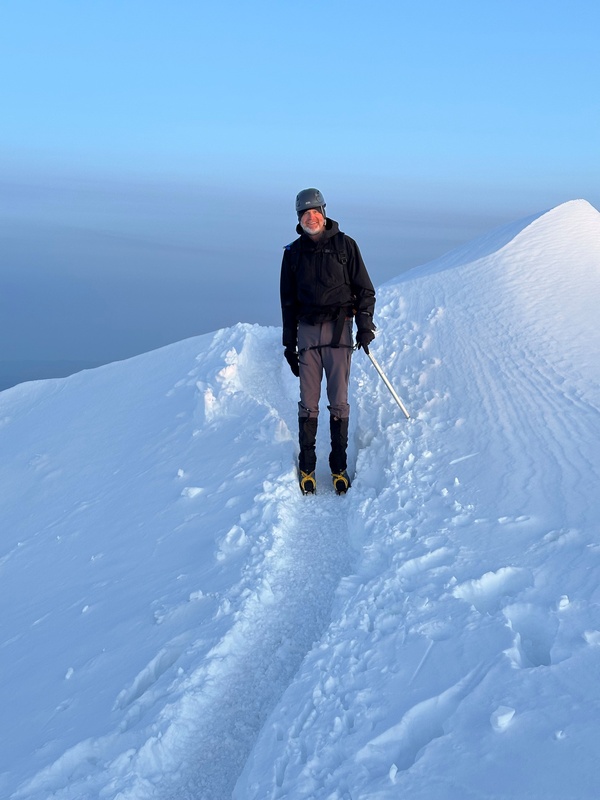
The ridge to the summit was outstanding. Many Mt. Hood trip reports mention a narrow ridge immediately after the top of the Old Chute. This section was definitively “narrower” than the rest of the ridge, but I personally did not find it too exposed at all, and I have definitely been on waaaaaaaay more exposed ridges on my many climbs in Colorado and elsewhere. The fact that the ridge was covered in snow did not matter either, and it did not make the ridge any more treacherous, in my opinion. It was a wonderful ridge jaunt over to the summit, with the sunrise happening while we were on the ridge (around 5:30 a.m.). 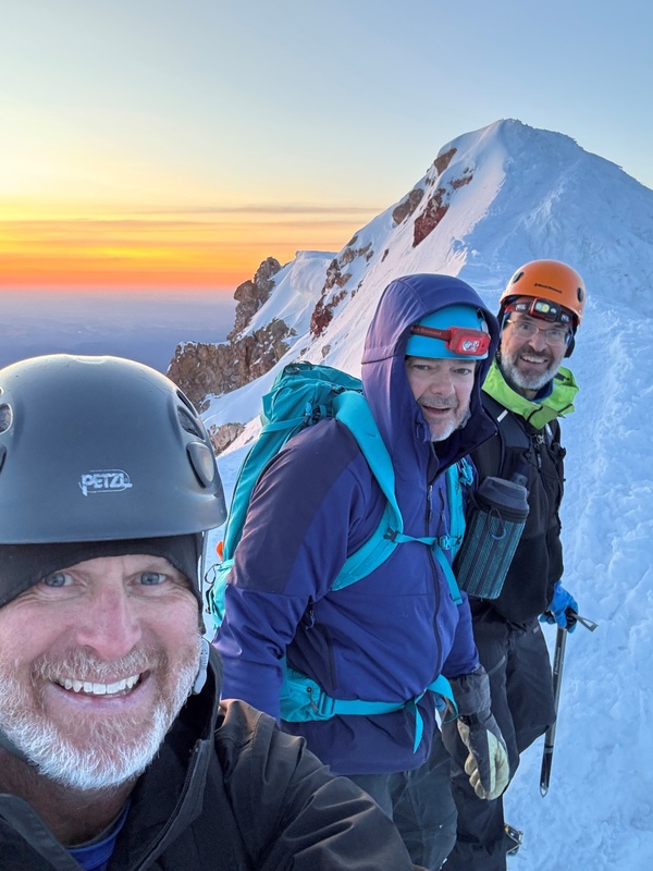
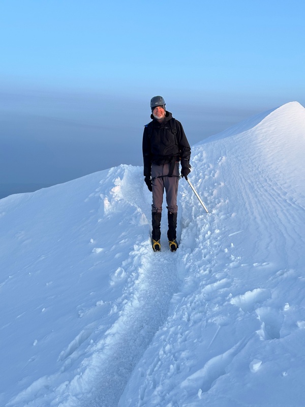
It took us about 10 minutes to reach the summit from the top of the Old Chute. And what a summit it was! We shared the summit with 5-6 other climbers. The Mt. Hood summit was 11,249’, and we had ascended about 5,300 feet this morning in about 5 hours and 20 minutes. We stayed up there for just a few minutes before heading back down. 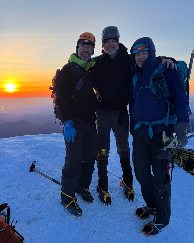
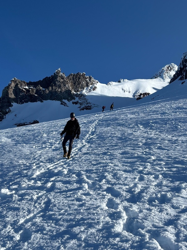
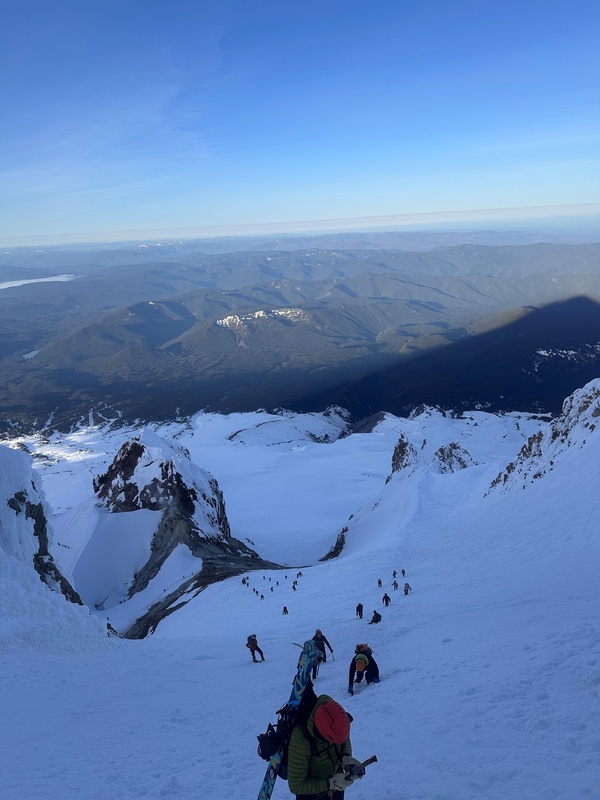
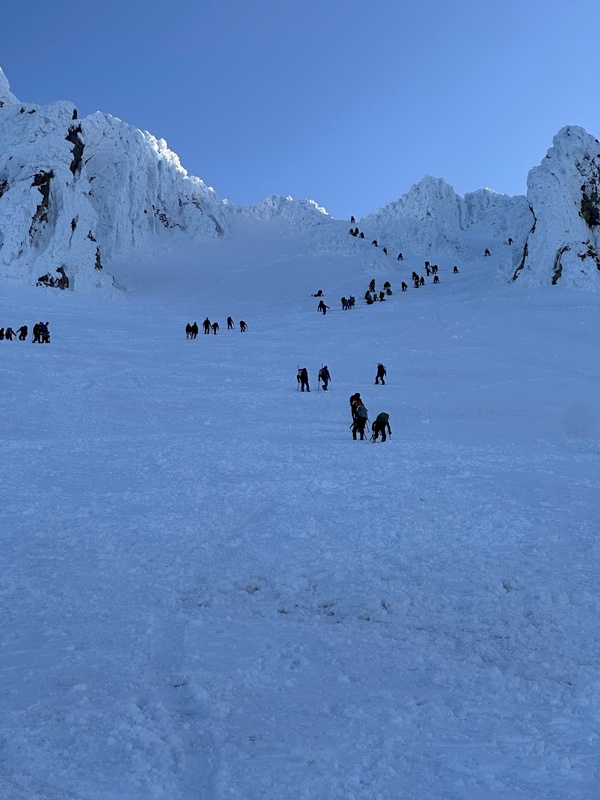
We made the easy trek back across the ridge to the top of the Old Chute. Looking down the Chute, it was incredible to see the large number of climbers trying to make their ascent up the Chute. We were somewhat dreading this descent with the heavy traffic on this beautiful Saturday of a holiday weekend. Indeed, as we undertook it, it was dangerous. Any fall here by anyone could have dragged down 5+ other climbers with them. I tried to stay out from underneath anyone, but it was impossible to completely accomplish this with so many climbers in the Chute. I descended a good portion of this Chute facing in, and ensuring my crampons and ice axe were solidified in the snow on each step. It was a bit tricky but still very fun and exciting terrain. After making our descent in about 30 minutes or so, and arriving at more reasonable ground, we estimated we encountered probably 50 other climbers during those 30 minutes in the Chute. From the bottom of the Chute, we aimed back for the Hot Rocks area, which was obvious since it was the only terrain ahead of us which did not have snow. Pics on the descent in the Old Chute and Hot Rocks areas: 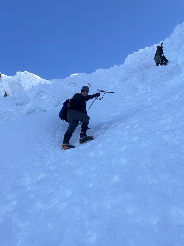
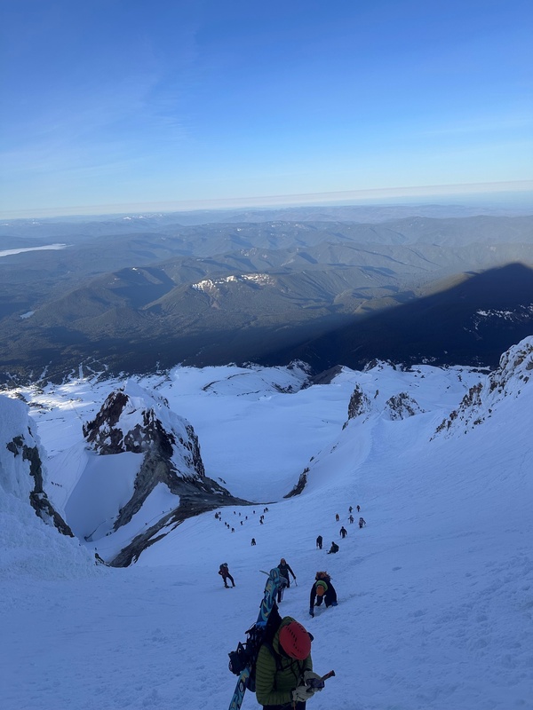
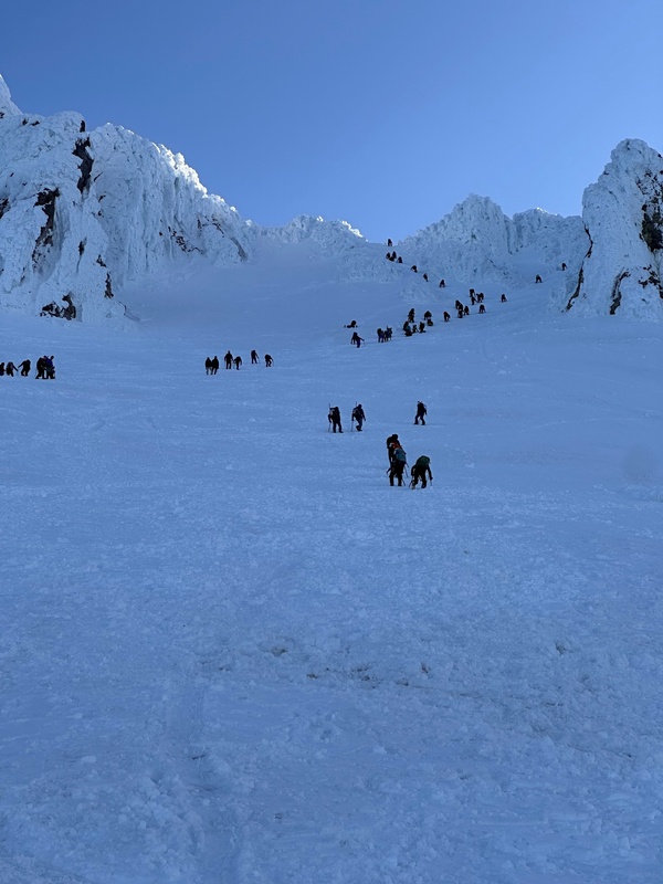
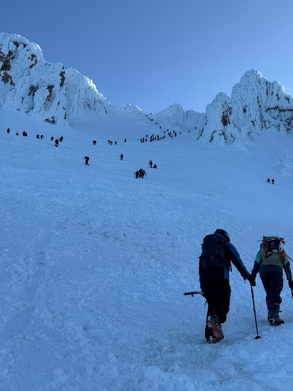
Once back to Hot Rocks, we were on trail once again, and made our way down the trail. 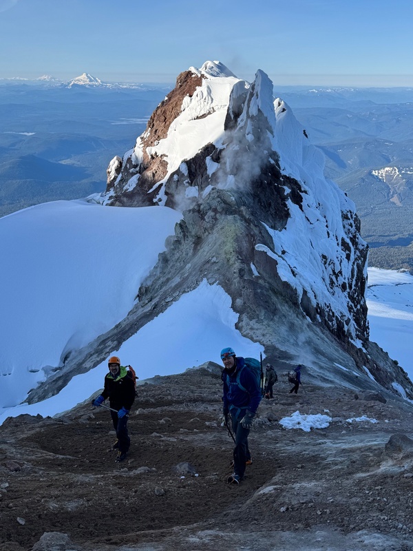
We passed by the giant crevasse, to our right this time, as we descended toward the Crater Rock area. At Crater Rock and Triangle Moraine, one item of note here… this was the spot where many skiers stashed their skis on the ascent. 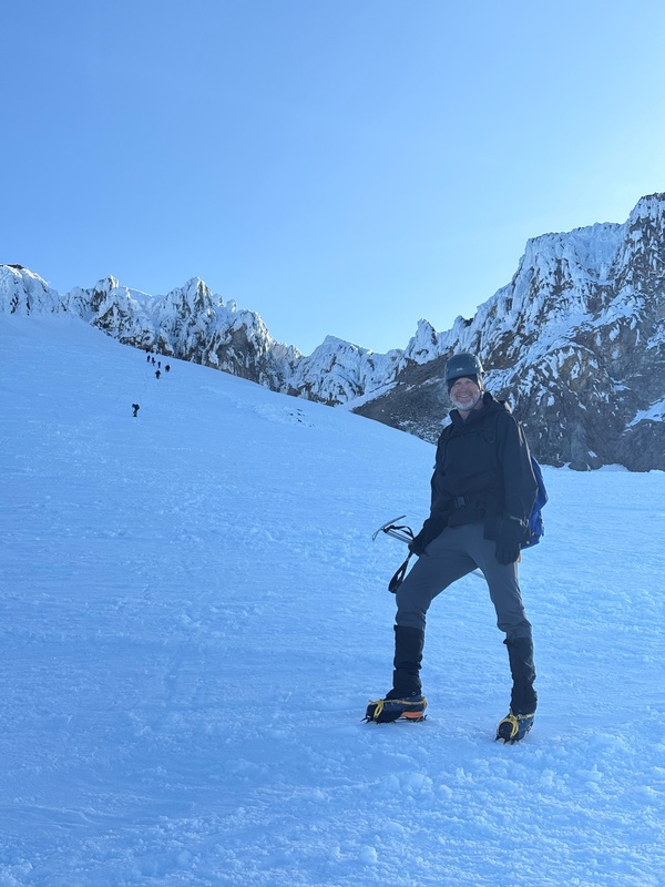
From the Triangle Moraine area, there was a faint trail going down the Palmer Glacier, but really any descent line down this wide area would work. It was definitely good ski terrain, so I would agree that Triangle Moraine would be a great spot to bring skis up to, and then ski down from here on the descent. Steve, Mark and I hiked down this slope in relatively quick fashion. 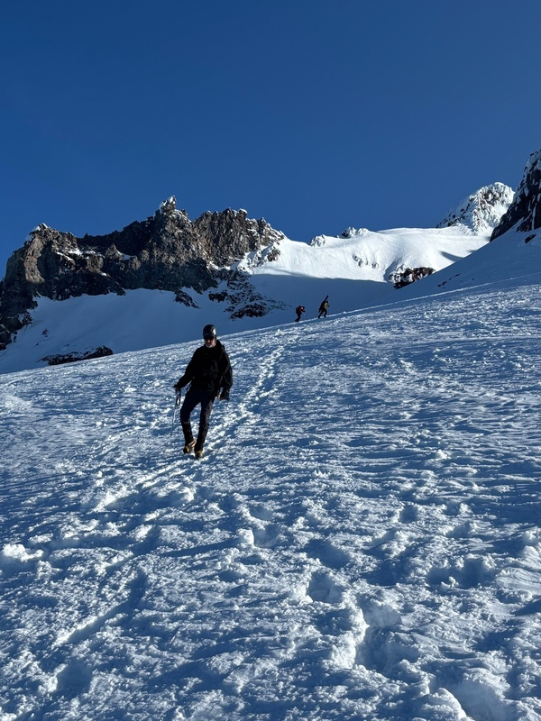
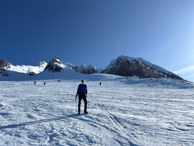
At one point, probably about halfway down the slope from Triangle Moraine to the Palmer Lift, I stopped to take off my crampons and to attempt a glissade. I was able to glissade from here all the way back down to the “road” at the top of the Palmer Lift. This glissade was much rougher and bumpier than the glissades on Mt. Shasta… the snow was not quite as slushy and forgiving. Mark and Steve stopped to put on their skis at their stash point, and I continued my hiking descent down the groomed slope to the side of the ski area. I was able to glissade in a few spots on this groomed slope, but I mostly hiked down it since most of the sections were not steep enough to glissade. I arrived back at the trailhead at 9:00, which was about 30 minutes behind Steve and Mark. So our final time on the trail on this 5,300’ elevation gain and 6.5-mile round trip was 8 hours and 50 minutes. We immediately got in the car and drove back down to the hotel. The ski area was absolutely packed with people who were about to start their ski day when the lifts opened at 10:00, so it took a bit of time to drive through the parking lot with so many cars there. But we made it down the hill and back to our hotel by 9:30. Because it was so early in the day, we decided to change our flights to today instead of tomorrow. We were able to accomplish this and get early-afternoon flights home. We had plenty of time to make these adjustments, get our gear packed, drive to Portland, return the rental car, and have lunch at the airport before our flights. Mark flew to Denver and was home at a reasonable time that evening, while Steve and I had a slightly later flight and returned to our houses in the late-evening. What an incredible trip! Thumbnails for uploaded photos (click to open slideshow): 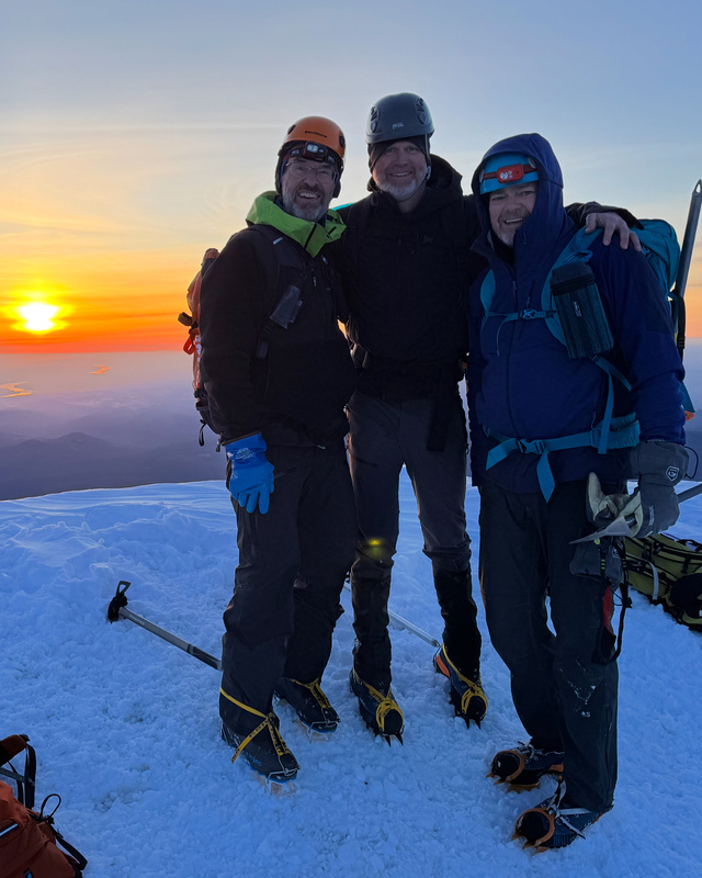
|
| Comments or Questions |
|---|
|
|
Caution: The information contained in this report may not be accurate and should not be the only resource used in preparation for your climb. Failure to have the necessary experience, physical conditioning, supplies or equipment can result in injury or death. 14ers.com and the author(s) of this report provide no warranties, either express or implied, that the information provided is accurate or reliable. By using the information provided, you agree to indemnify and hold harmless 14ers.com and the report author(s) with respect to any claims and demands against them, including any attorney fees and expenses. Please read the 14ers.com Safety and Disclaimer pages for more information.
Please respect private property: 14ers.com supports the rights of private landowners to determine how and by whom their land will be used. In Colorado, it is your responsibility to determine if land is private and to obtain the appropriate permission before entering the property.


