
| Report Type | Full |
| Peak(s) |
Trinchera Peak - 13,522 feet |
| Date Posted | 07/31/2025 |
| Modified | 11/19/2025 |
| Date Climbed | 07/28/2025 |
| Author | huffy13 |
| A Warm, Buggy Day in the Southern Sangres |
|---|
|
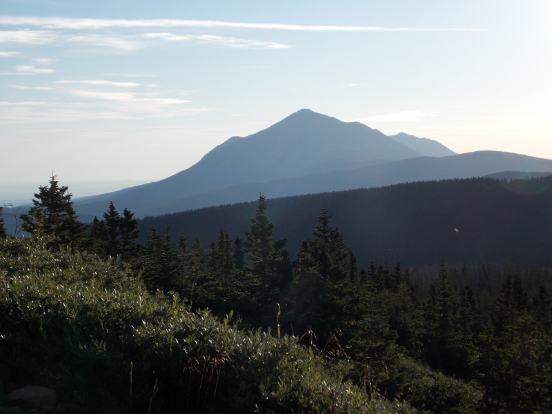
I've been getting the itch to get some elevation therapy after a couple of weeks in Ohio earlier in the month. What was supposed to be a joyous vacation for a niece's wedding also ended up being a sad occasion when my wife's father passed away unexpectedly. He was a good father-in-law and will be missed. My wife ended up deciding to stay in Ohio for a few extra weeks so she could help her sister with estate issues and cleaning up her father's house. I came back home with my kids to the Texas panhandle so I could go back to work, but I figured on some of my days off I would make a quick trip to try to bag a peak or two while the wife was away. I had tried to go up to the Cuchara and Blue Lakes Campground area in late June and bag Trinchera Peak, but the weather forecast went from slight chances for storms to 98% chance of storms, so I postponed my trip and I'm glad I did....I watched the radar that day to see if I made the right call and sure enough, the storms began firing up before 9 AM on the day I was going to hike. So I decided that I would leave for Blue Lakes CG after church on Sunday, July 27th and try to be at the campground with a couple hours to set up camp before nightfall. I arrived at the campground around 6:45 PM with the intent of setting up my tent. I was worried that I might have to go up the no-fee road if I got there too late, but it turns out that there was only three other spots taken in the entire campground. I visited with some fellow campers that had been there all weekend and they said it was completely full until Sunday afternoon. After seeing how few people were there, I opted to just set up my memory foam mattress pad, pillow and blankets in the back of my truck and just car camp for the night. I bought a camper shell for my Tacoma last year just for this reason as well as keeping luggage dry when making our long trips to see family. From Blue Lakes you can see Trinchera Peak to the southwest. 
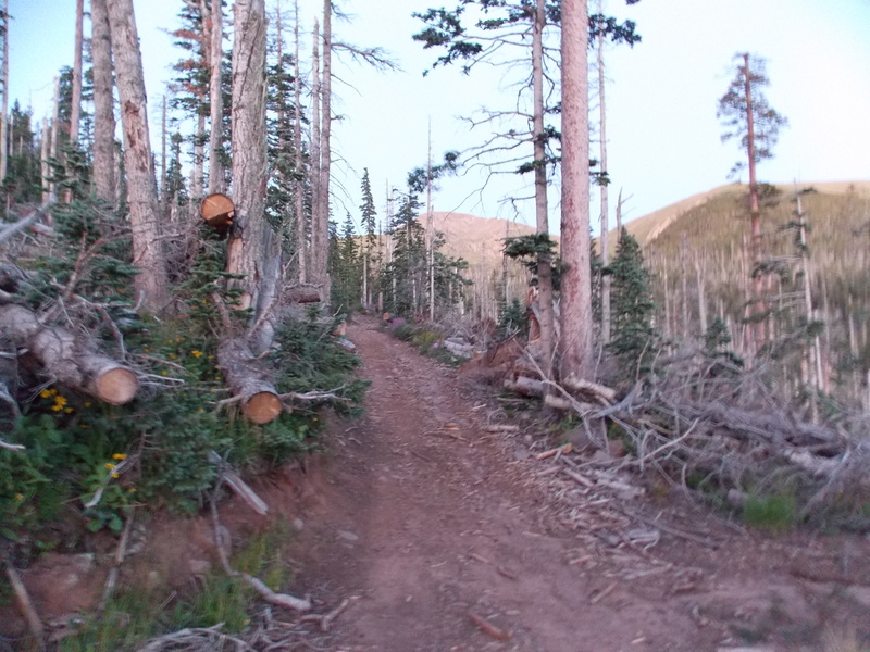
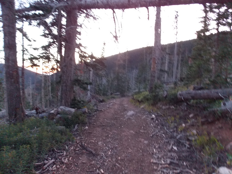
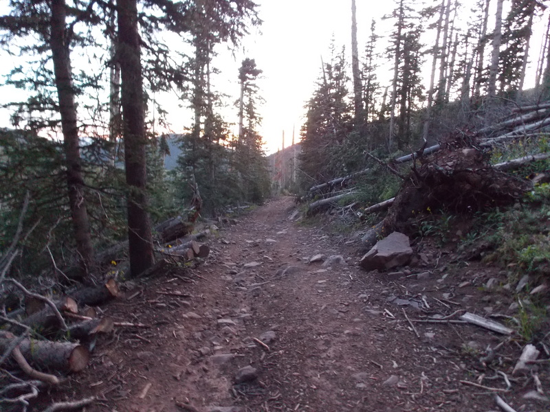
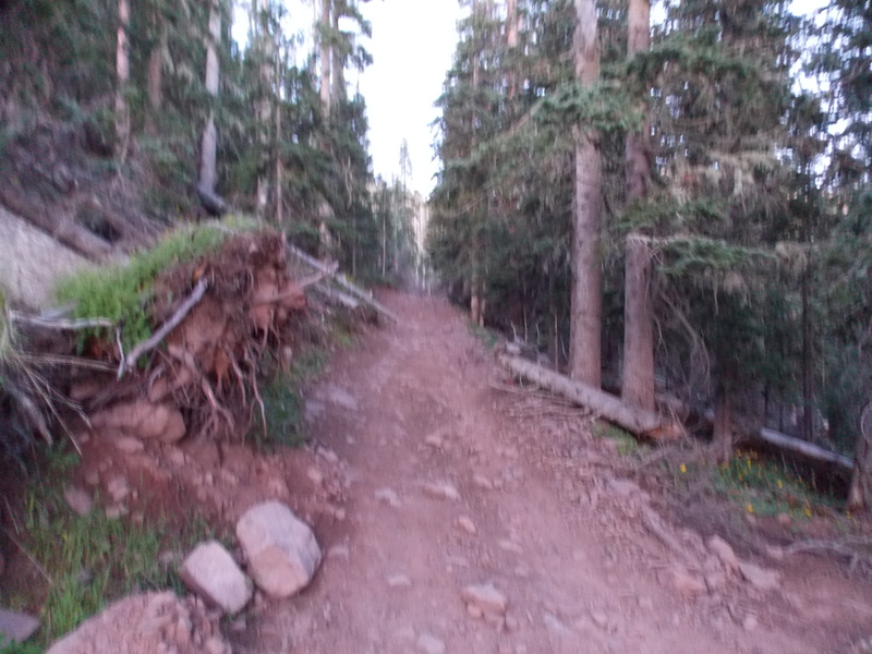
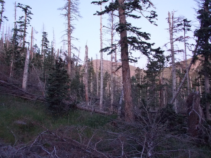
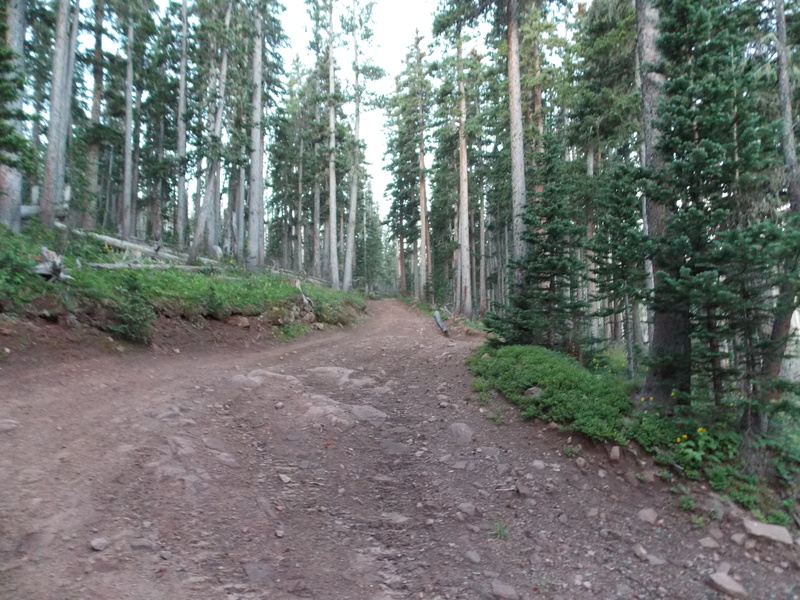
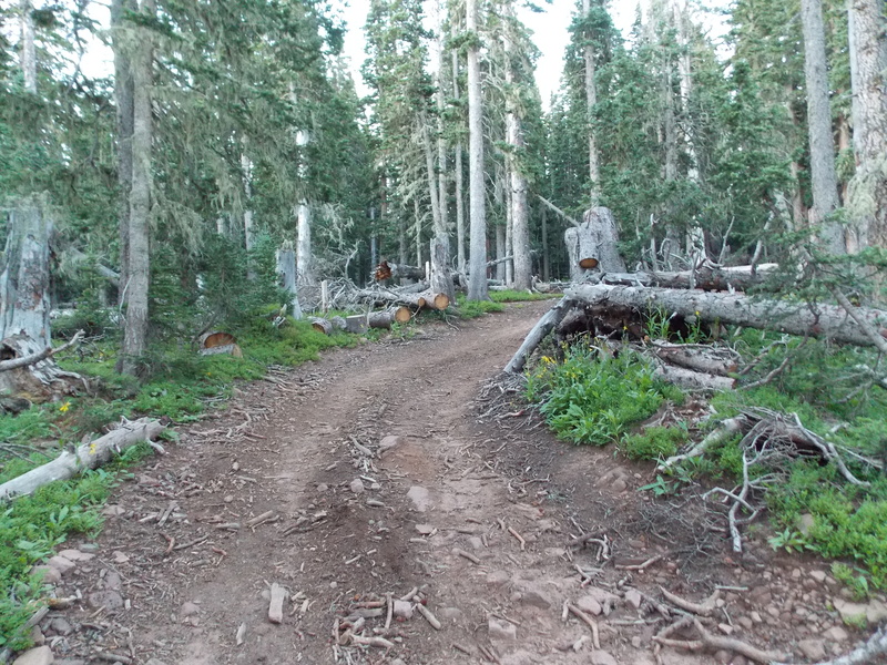
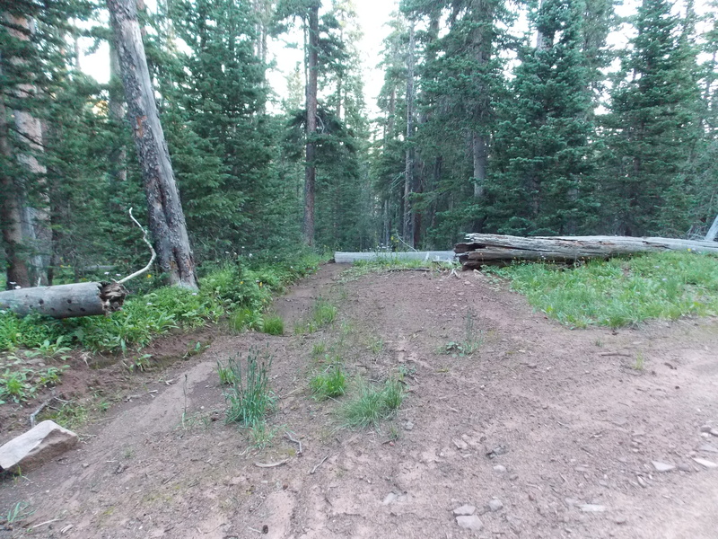
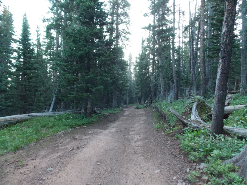
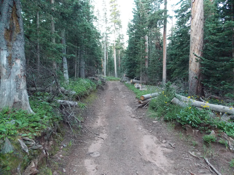
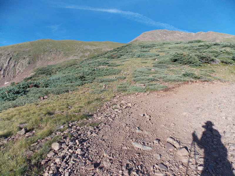
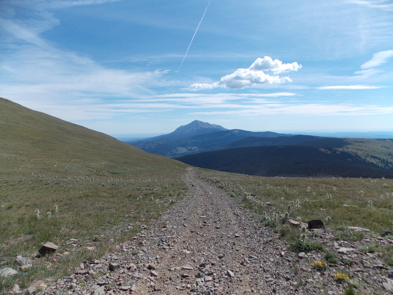
I curled up in the bed of my truck around 8 PM and found it to be far more comfy than when I would car camp in my 2000 Chevy Blazer ZR2 2-door...that thing was cramped. I slept a lot better than I usually do the night before I hike, only waking up a couple times throughout the night due to the wind picking up as well as one vehicle driving up towards Bear Lakes CG around midnight. I set my alarm for 4:45 AM with the intent of trying to get started around 5:30, but I ended up waking up around 4:30 on my own, so I decided to go ahead and get prepped up, eat, take a restroom break and hit the ATV/4WD road 436 towards Trinchera. I started at 5:10 AM, the forecast was favorable, about a 40% chance of storms after noon, but I am so freaking slow I always try to start as early as possible so I don't get caught by bad weather before I achieve my goal. It was relatively cool, in the high 50s, but I ended up shedding my jacket within a few minutes due to there being very little wind to keep it cool. The first three miles of the "trail" is just an ATV road that is wide, easy to follow all the way to the saddle between Trinchera and PT 12,955 or "English Saddle". The next several pics are various places along the road until above treeline. 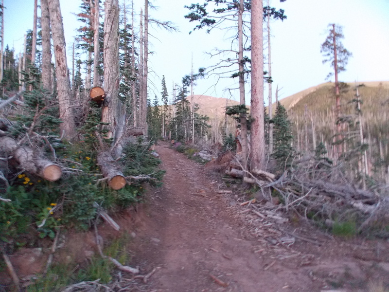


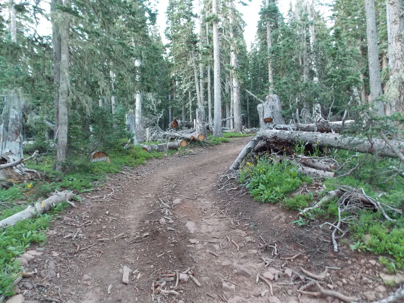

There are a few places along the road that a vehicle could pulled in if one wanted to camp high up in the forest just before treeline. 
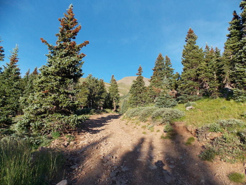
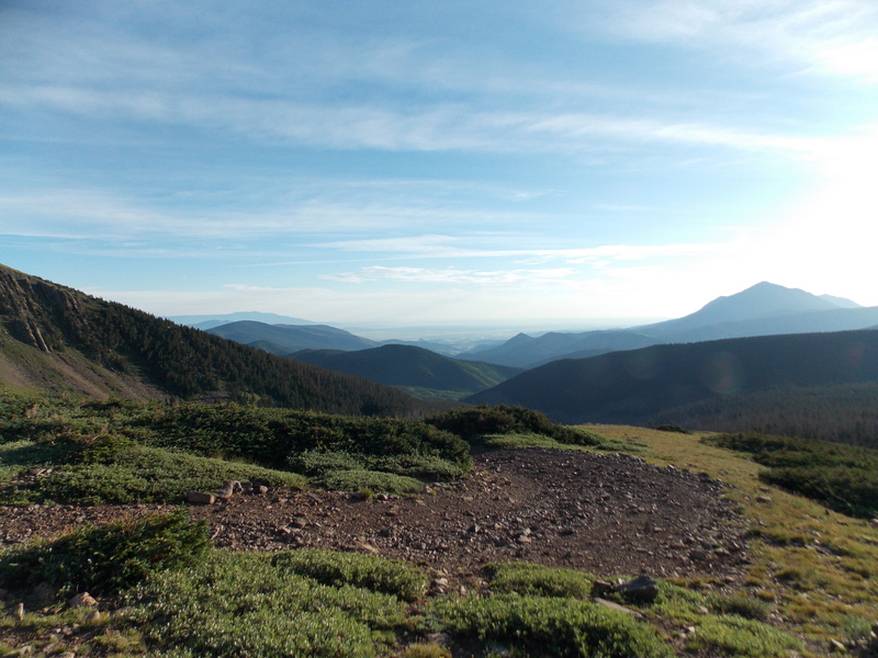
The first 2.75 miles of the hike is pretty easy, I was actually making pretty decent time by my standards, making treeline right around 7:45. I took lots of breaks for taking pictures, identifying birds on my bird app and getting pictures of the various flora all along the hike. One great thing about the thinned out forest was that the wildflowers were abundant. 
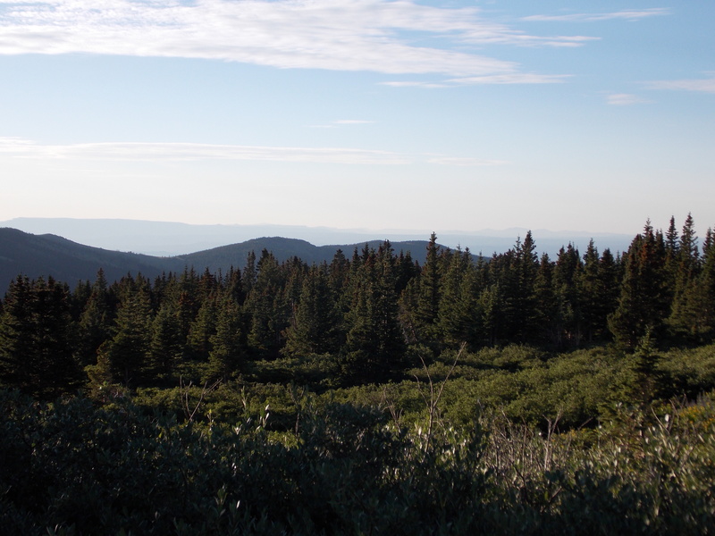

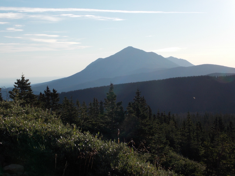
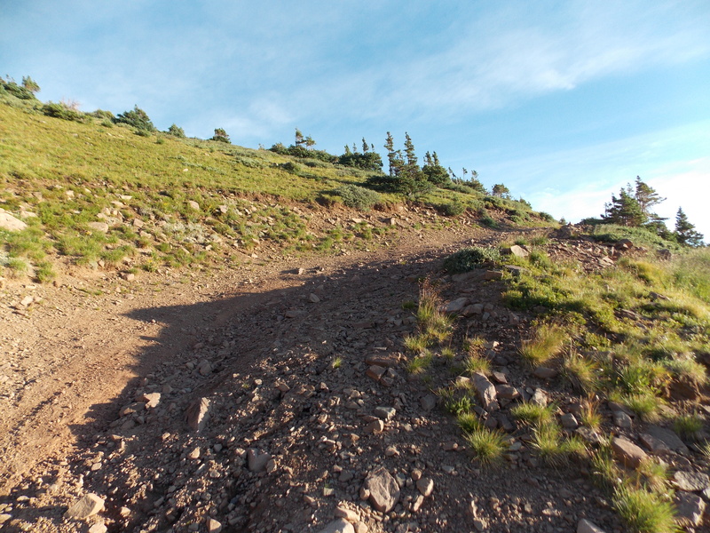


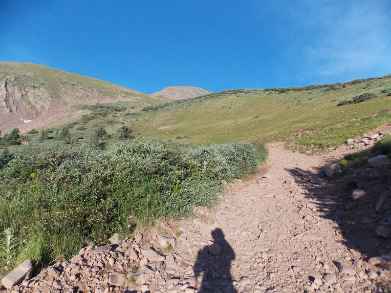
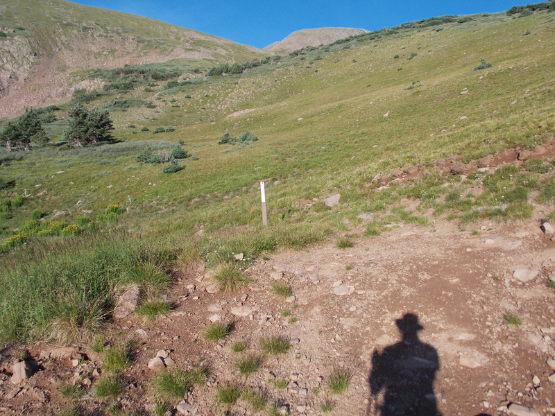
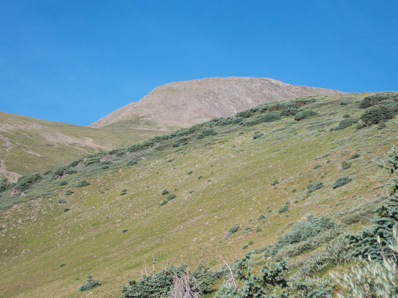
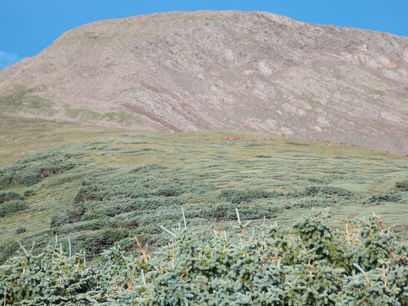
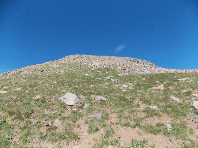
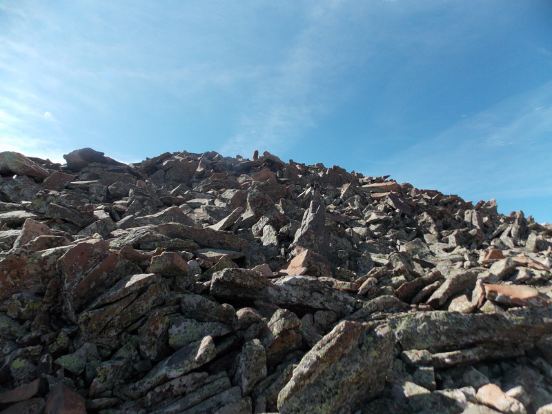
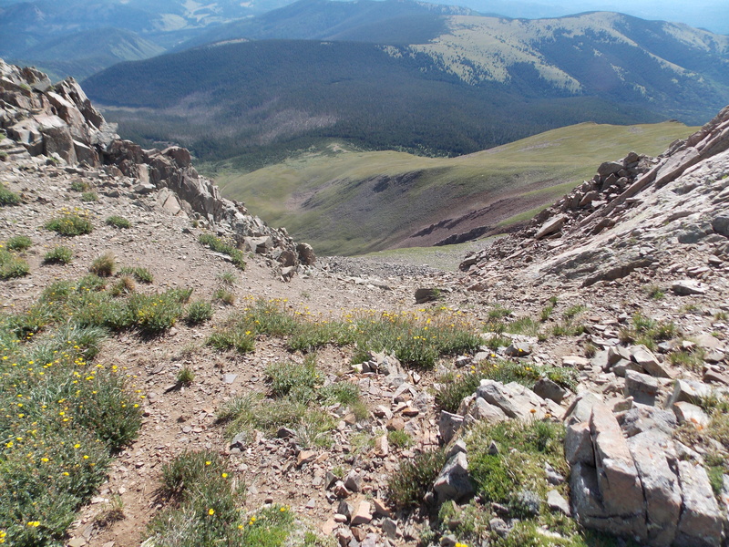
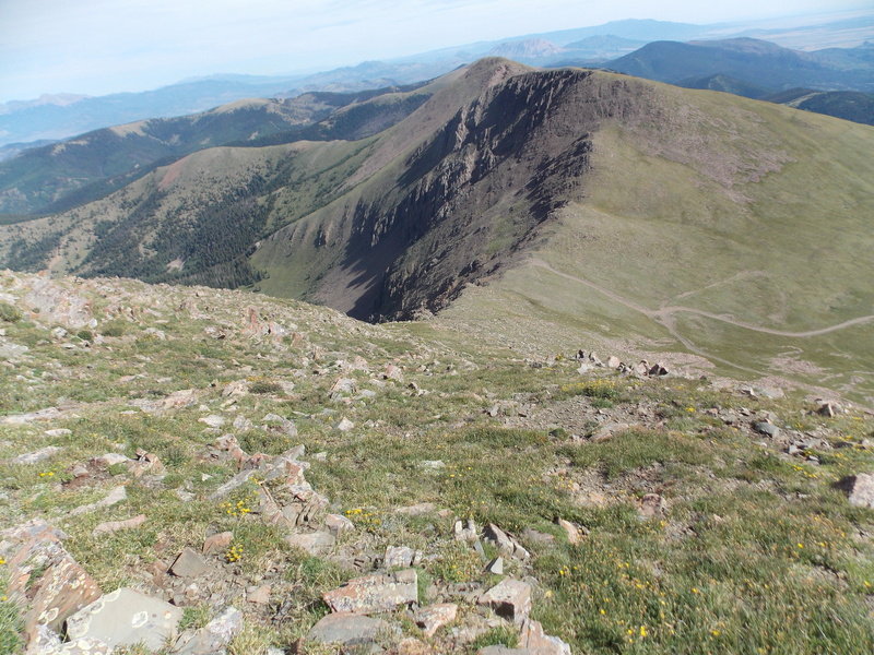
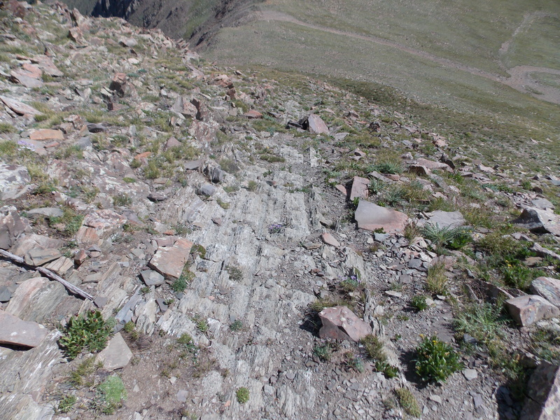
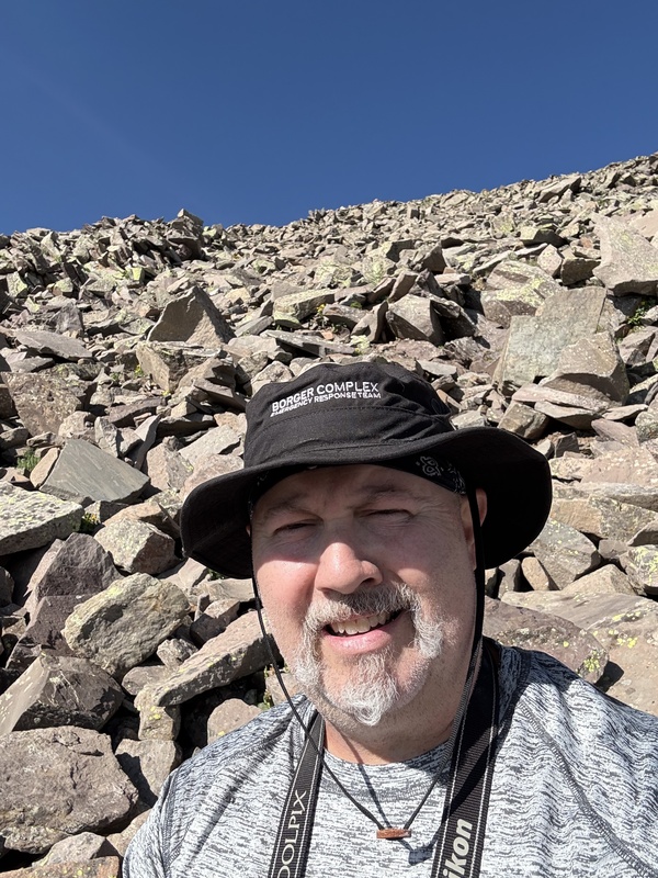
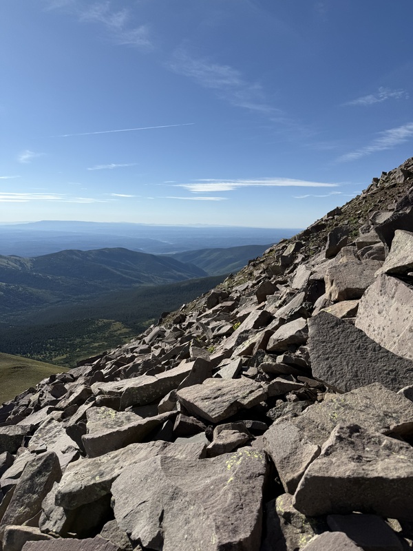
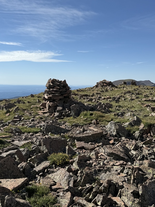
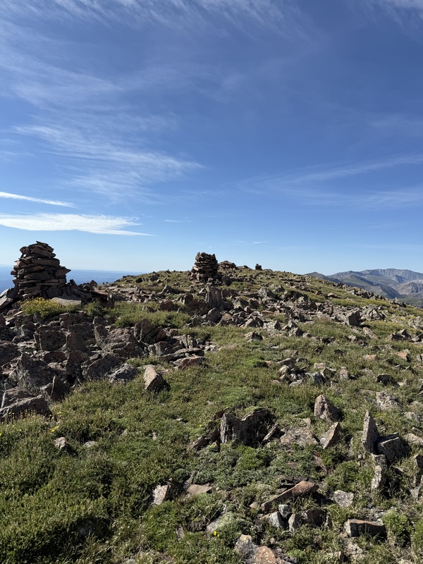
Around 13,000 ft the path becomes much steeper and very rocky. I feel like I may have gotten off the actual path because the last 500 ft or so of elevation gain felt like 9 miles of suck. I did slow down considerably to avoid the loose rocks and searched for cairns, but they were few and far between. 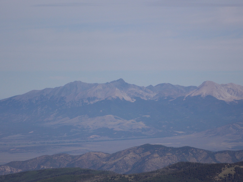
I am really bad about not eating anything after breakfast on my hikes, but I decided to stop and take a break around 13,300 ft and grab some bites of jerky, some trail mix with peanut butter M&Ms and some gummy bears while I looked at what line I wanted to take for the last 250 ft of gain. I was already aggravated by how much this portion of the ascent was reminding me of the ascent of West Spanish Peak a few years ago from Cordova Pass. After about a 10 minute break I felt better and made the last push for the summit. The weather was still looking nice, so I didn't feel rushed. 

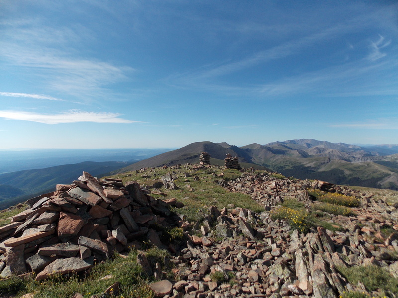
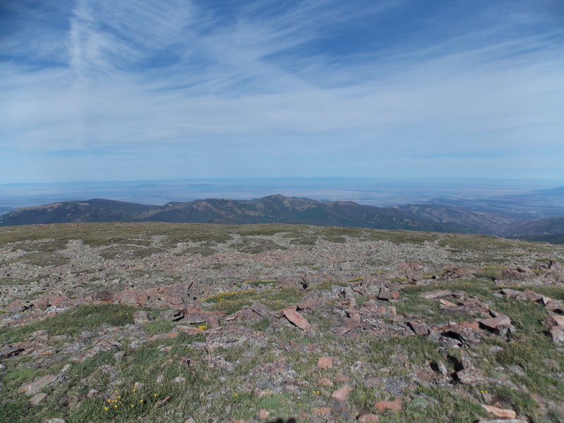
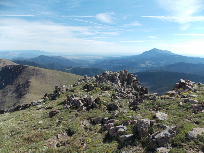
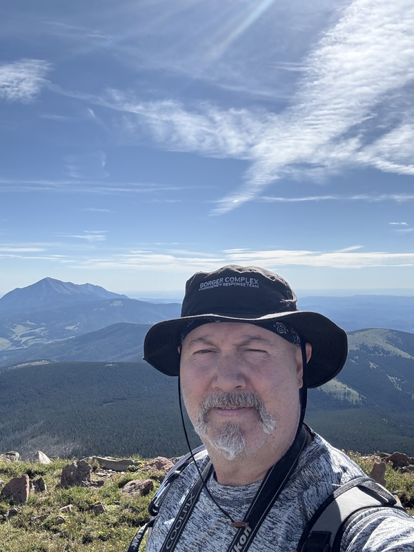
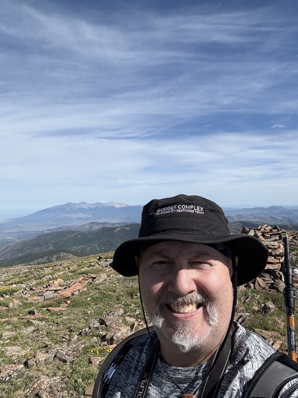
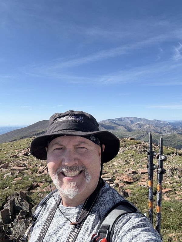
I finally made the summit at 9 AM on the dot. I terribly slow ascent, but I've just accepted the fact that speed is not my strong suit. 3 hours and 50 minutes was the ascent time, but it did include many breaks 


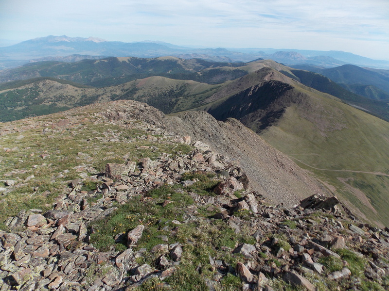
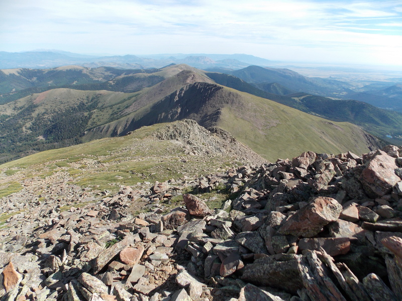
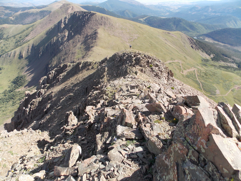
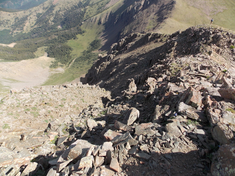
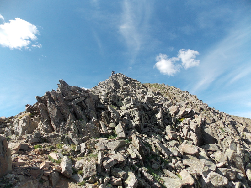
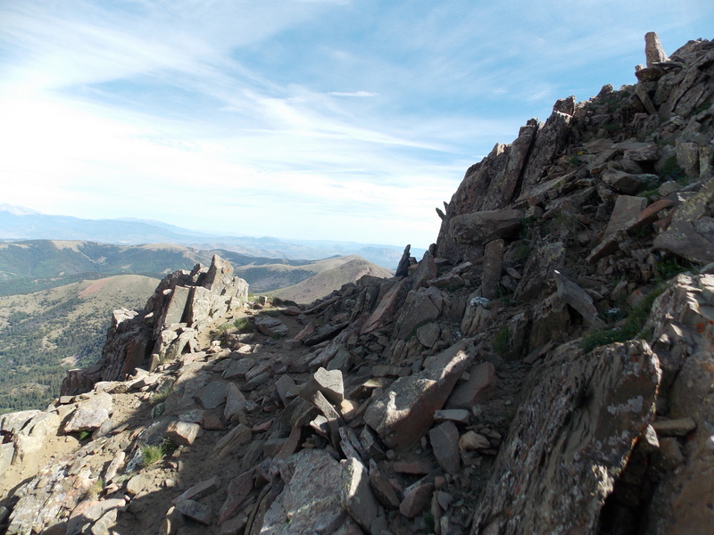
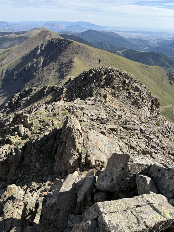
I stayed on the summit for about 20 minutes and I opted to descend Trinchera's north ridge. I studied a few other trip reports that gave some info about the north ridge and that it went down to the road that topped out on the saddle. The north ridge is more technically challenging for sure, but the rock is very solid. I would call the ridge class 3, with a couple of short spots that some class 4 moves were needed, but no real duration of that difficulty. There's some decent exposure along the ridge, but it can be minimized if you just take your time and pick a good line. There are a couple little chimney type spots that I turned around and went down backwards and I definitely used all fours for most of the ridge. 
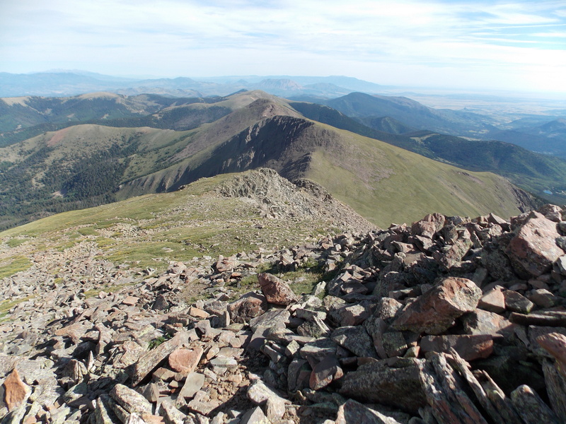


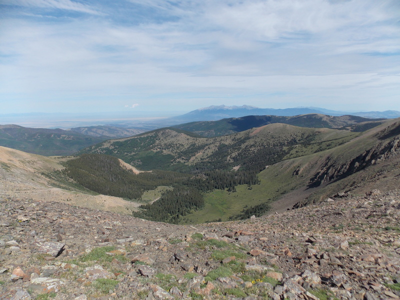
I made it back to my truck at the Blue Lakes Campground just a few minutes after 11 AM. Right as I got my stuff gear packed up and pulled out, the rain started. Not heavy, but enough that it would have been pretty miserable if I had to hike in it. So, right at 6 hours for the 7.5 to 8 mile roundtrip hike. Pretty slow, but it's kind of typical of what I plan on from now on. 
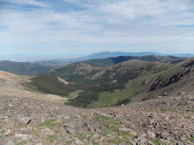
Now, my thoughts, insights and advice about this hike: First off, the northeast slopes are definitely Class 2, as Bill has it classified, if you stay on trail. I think I got a little too far south on the east face and that is why I ended up with a more tedious time during the ascent. The north ridge is doable, but is quite a bit more technical and has what I felt was decent exposure in several places. Definitely take plenty of fluids. There is water at the campground, but once you start up FS 436 there really isn't any water source. I don't know that I would recommend this hike to a newbie as there is a bit of route finding skill that is necessary as well as tolerating loose rock and steep terrain for about the last 3/4 of a mile. Blue Lakes is a really nice campground, but there is a lot of deadfall being cleared out right now. But it's still worth staying there. Well, that's my first chance to get a peak in this year. My wife and I are staying in Golden in September and I plan on heading back up to Guanella Pass and getting Square Top Mountain. I'm really getting to like 13ers even more than the occasional 14er. So many unique views and are far less busy than the 14ers too. Thumbnails for uploaded photos (click to open slideshow): 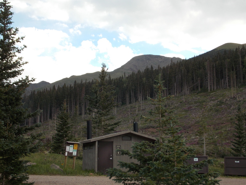



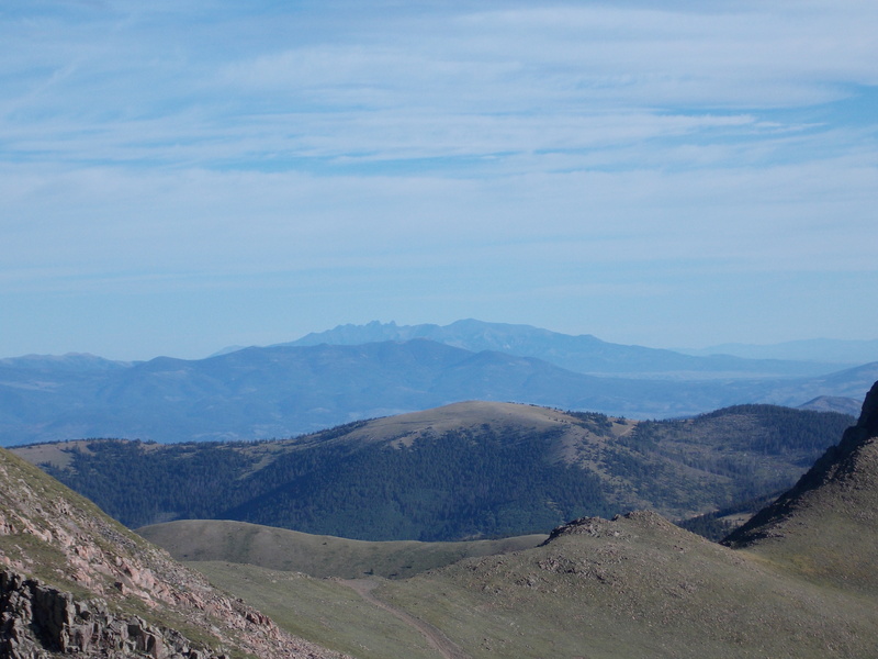
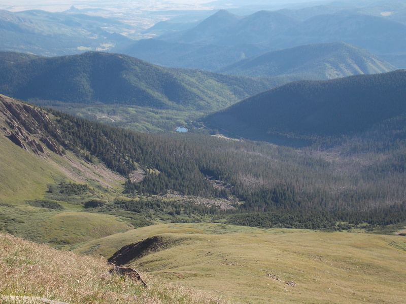

|
| Comments or Questions | ||||||
|---|---|---|---|---|---|---|
|
Caution: The information contained in this report may not be accurate and should not be the only resource used in preparation for your climb. Failure to have the necessary experience, physical conditioning, supplies or equipment can result in injury or death. 14ers.com and the author(s) of this report provide no warranties, either express or implied, that the information provided is accurate or reliable. By using the information provided, you agree to indemnify and hold harmless 14ers.com and the report author(s) with respect to any claims and demands against them, including any attorney fees and expenses. Please read the 14ers.com Safety and Disclaimer pages for more information.
Copyright: Route information, text, risk factors, maps, GPX files, charts, photos, 14ers.com-created map imagery, flythroughs, and other content provided in this route description are copyrighted by 14ers.com and may not be copied, reproduced, republished, distributed, modified, or used to create derivative works without prior written permission.
Please respect private property: 14ers.com supports the rights of private landowners to determine how and by whom their land will be used. In Colorado, it is your responsibility to determine if land is private and to obtain the appropriate permission before entering the property.



