
| Report Type | Full |
| Peak(s) |
Crestone Peak - 14,299 feet Broken Hand Peak - 13,575 feet Marble Mountain - 13,272 feet |
| Date Posted | 07/26/2025 |
| Date Climbed | 07/20/2025 |
| Author | zjasnocha |
| Additional Members | tarnali |
| Sangre de Cristo Mountains - Southern Loop |
|---|
|
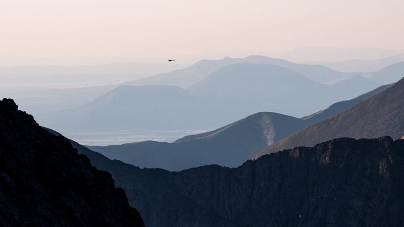
Here is the trip report for Tarnali and Zjasnocha’s joint trip to the Sangre de Cristo Mountains from Friday, July 18th - Monday, July 21st. We tackled some challenging climbs, including a 14er, a first for both of us, and explored the high elevations near the Crestones. Credit Tarnali for this report’s epic photos and for doing the lion’s share of the route planning. We spotted the helicopter not long after hearing its distant hum. It swung around the mountain as it made its descent, sweeping low along the Cottonwood Creek Trail. The pilot must not have liked his initial options for a landing and roared out of the valley, climbing to match the elevation of the surrounding peaks. Returning just a few minutes later, the rescue helicopter hovered less than 400 yards from our campsite next to Cottonwood Lake, tall verdant grass swirling in the blades’ wake. A scant few daylight hours had passed, and the Sangre de Cristo Mountains had already brewed trouble. 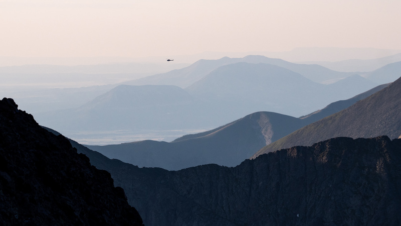
Spanish explorer Antonio Valverde y Cosio named the range in 1719, remarking on the red-tinted mountain faces as both an homage to Christ and as an exclamation - “By the blood of Christ…”. Evoking the imagery of blood in a place as rugged and awe-inspiring as this was a little unsettling for someone who had yet to summit a 14,000 foot mountain; I’ve come awfully close in previous trips to the San Juan Mountains in southwestern Colorado, but conditions and timing prevented the accomplishment. When Galen (Tarnali) reached out with the idea to backpack in Colorado this summer, bagging a 14er was front of mind for both of us. Like me, Galen had never climbed one; however, he had much more in the way of Class 3 scrambling than I. His previous trips to Colorado were a bit more ambitious than my own and often revolved around interesting ascents.
This trip to the Sangres was a last second backup plan. Our original itinerary was built around exploring the high elevations of the San Juans in the Uncompahgre Wilderness. Wildfires in the area brought heightened safety risks and, at the very least, the possibility of horrible air quality. Days before the departure, Galen and I scrapped the Uncompahgre plan and passed intel of our new SDC route back and forth, sharing trip reports, conditions updates, and videos of the climbs we’d set our sights on: Broken Hand Peak (13,575 ft, Class 3), Crestone Peak (14,299 ft, Class 3), and Marble Mountain (13,272 ft, Class 2). I felt both excited by the challenge ahead and a bit nervous. Helmet hiking would be a new endeavor for me, and variables like altitude effects, off-trail climbs, and exposed scrambles had me wondering how I’d hold up mentally and physically. Luckily for me, I had a determined and insightful navigator as a trail partner for this adventure.
We wondered aloud the cause for the chopper. From our vantage point at the summit of Crestone Peak, we gazed down at the scene unfolding. As we started our down climb, the rescue crew flew from the mountain basin and disappeared into the horizon. Speculation for what happened peppered our conversation as we navigated about a mile’s worth of a scramble back down the mountain’s famous Red Gully. We learned from an ascending hiker that someone suffered a cardiac event, but the rest of the details seemed hazy, layered in hearsay in a mountain game of telephone. We hoped for the best for the unlucky hiker and soon found ourselves refocused on the stunning scenery around us.
Backpacking with another person gives you an up close view of their character. Tough backcountry experiences provide incredible highlights - moments of awe, the feeling of connectedness and just how small we are - they can also strip one down, laying frustrations or anxieties bare. The extent of my non-solo backpacking has been with my wife, and after many trips together, we know how to read each other during a challenging adventure. We’ve figured out exactly who carries what, who does which chores at camp, and how to talk through risks as we encounter them in the wild. I was curious how a trip with a buddy would play out. Four days in the mountains is a different animal than our previous day hikes in Austin. Ultimately, I hoped that a shared love of wild spaces and aligned mindsets on safety would create a great experience, and I was glad to be right.
Part I - Getting Acquainted
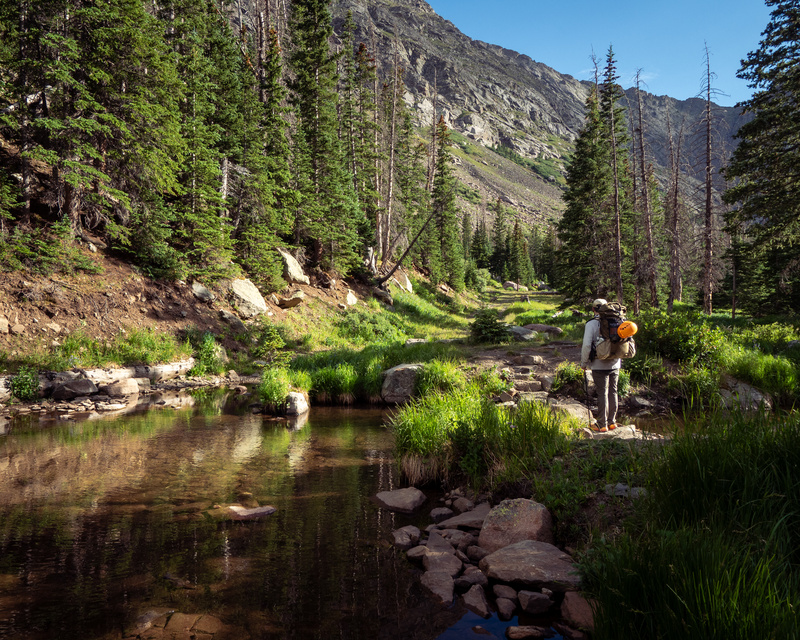
Texas and more Texas. Texas for miles and miles. Bustling freeways, then lonely highways, then the flat expanses of the panhandle. Grain silos were the only silhouetted features on a sun setting skyline. A shared taste in music and good conversation helped the hours go by, the upcoming route a constant point of discussion. Thursday ended after seven hours in the car and a late hotel arrival in Lubbock. I couldn’t swing taking the full day off, so we settled for an early evening departure from Austin around 4pm. The next day we passed through New Mexico and finally greeted the interspersed plains and rolling hills of southern Colorado. We pulled parallel to the Sangre de Cristo range along a narrow country road. The peaks seemed impossibly high from the flat farm land we travelled. Lacking any real foothills on the eastern side of the range, the Sangres rise dramatically from the vast prairie. At last, we arrived at the Grape Creek Trailhead and began our last preparations: downing gatorades, taping feet, applying sunscreen, securing the car and then off we went, winding our way up a wide trail through pine and aspen. Birds chattered in the trees to our west, the plains to our east grew farther and farther away as we began a slow ramp into the higher elevations of the forest banding the lower part of the mountains. Galen pointed out various flora, I spotted a mother grouse who tried to distract us from its young, slightly off trail, and we both snapped pictures and reveled in the cool, piney scented air. 
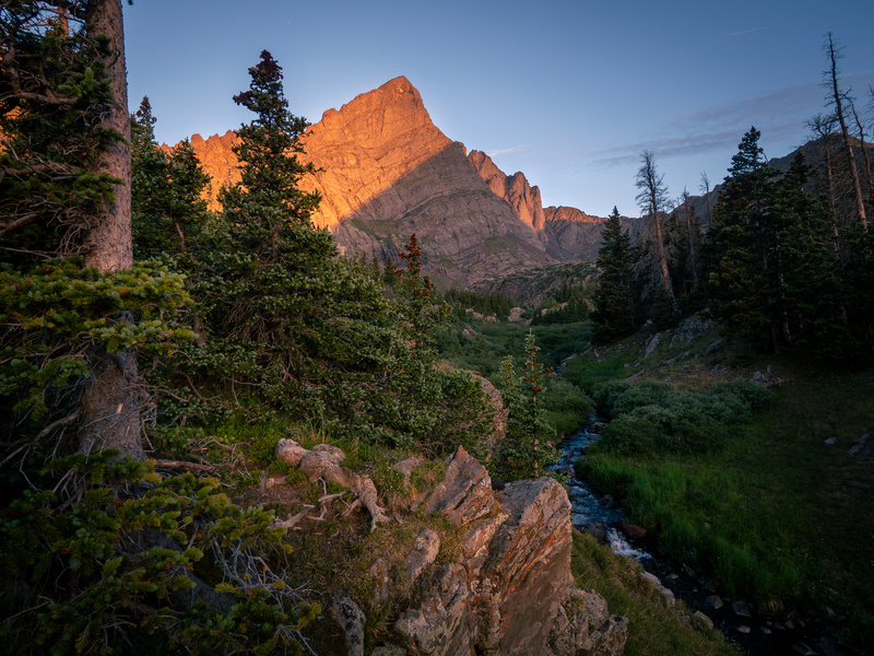
After some miles, we turned onto the South Colony Lakes trail and passed by the 4wd trailhead parking area. The time on our feet during the afternoon felt easy and it gave us a chance to stretch our legs, joke around, and start to get acclimated to the elevation and each other’s pace. When we got to the creek south of the lakes, we could finally see the specific, massive mountains we would climb. Late evening sun basked the basin in soft orange light as we set up camp along the gurgling creek. I packed in bratwurst and buns, making for a hearty and satisfying first night camp meal. A mule deer, unperturbed by our presence and only finally fleeing with our shouts, circled us in persistent curiosity; we took the hint that this was a popular place during the summer. We settled into our tents and did our best to rest despite our growing excitement. 
Part II - The First Course
Our trip included several alpine starts to avoid the afternoon summer monsoon patterns of the mountains. As we broke camp in the dark, we could see the bobbing lights of other hikers’ headlamps pass nearby on the trail. When the dawn’s light began to fill the mountain basin near the South Colony Lakes, we were well on our way up the climb to Broken Hand Pass. Galen and I chatted with other hikers, most of whom were embarking on ambitious day hikes up the pass and then onto the high peaks of the Crestones. Our plans were slightly less ambitious, though they involved hauling our full packs up and over steep and sometimes treacherous terrain. We would climb from the valley floor (~11k ft) up to the jagged saddle above us, known as Broken Hand Pass (13k ft) where we would scramble up a Class 3 section with our heaviest load of the trip. 
Each step we took improved the incredible views of the lakes and forest below. We arrived at the scramble under the crest of the saddle and began to pick out our lines of ascent. Testing handholds and footing, we scurried up the last section of the climb and felt the full force of the wind when we gained the top of the pass. Already, quick-moving clouds stretched overhead and obscured the impressive Crestone Needle in wispy vapor. One hiker, an older gentleman who bagged all of Colorado’s 14ers in the 1980s, decided to turn around, scuttling his planned climb to the peak. A three person party of folks in their twenties proceeded up the trail to bag the Class 4 climb to the top of the needle. 
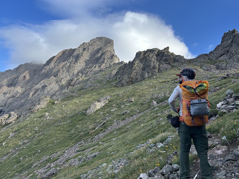
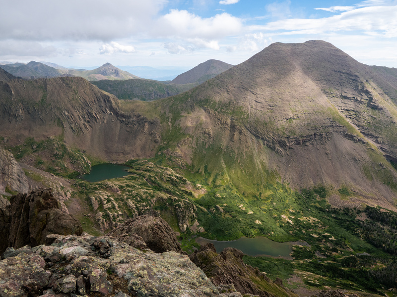
Galen and I began a short descent on the western side of the pass, exiting the trail to our left when we noticed a gap in the rock formations that lined the path. We turned to the northeast and picked our way up a grassy incline, hugging close to the rock ribs that paralleled our off trail route. While the steepness proved challenging, we found our breath would return to us easily after arduous steps upward, a good sign that the altitude wasn’t going to hinder us too much. We closed in on the summit of Broken Hand Peak, the pyramid of stone and green grass opposite the pass from the iconic Crestone Needle, and finally stashed our packs just down from the rocky scramble to the top. Our views from the summit were incredible. We peered down into two mountain basins, straddled by the pass we attained less than an hour prior. From here to the northwest we saw the peaks of the Crestones obscured in foggy clouds and to our southeast we saw more of the same. Somehow, the clouds diverted away from our summit, giving us good views and minimal wind. This marked my first 13er and it served as a perfect first course for what we could expect on the rest of our climbs. Route finding, careful foot placement, and constant communication allowed us to move in tandem safely, perfect practice for tomorrow’s attempt on Crestone Peak. 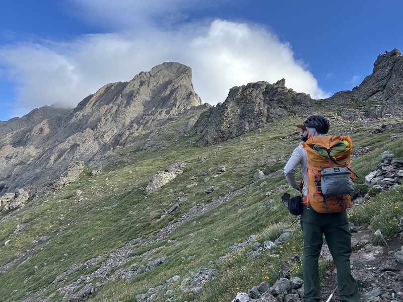


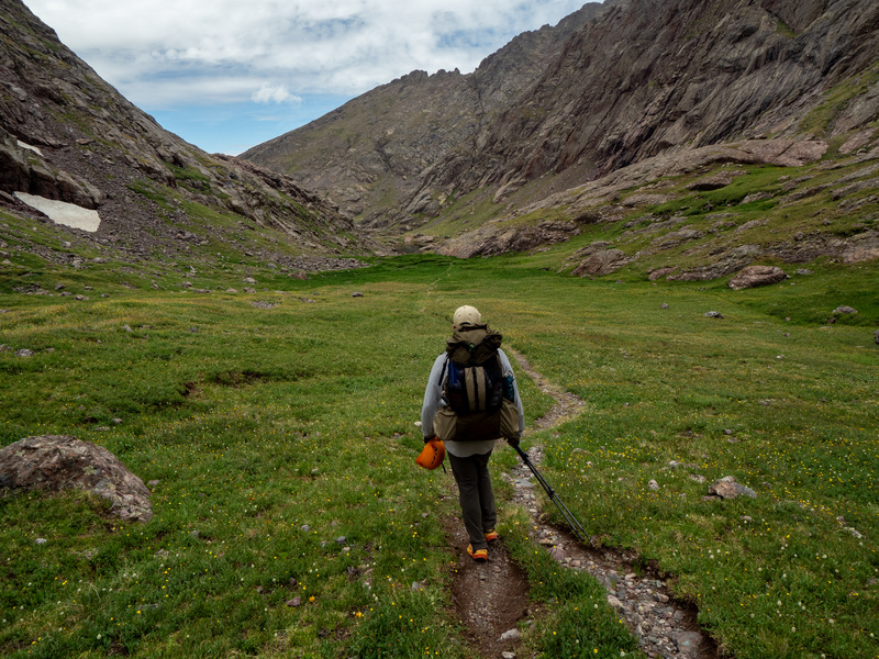
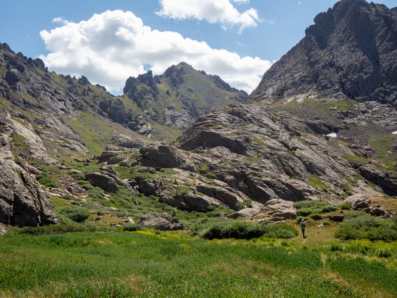
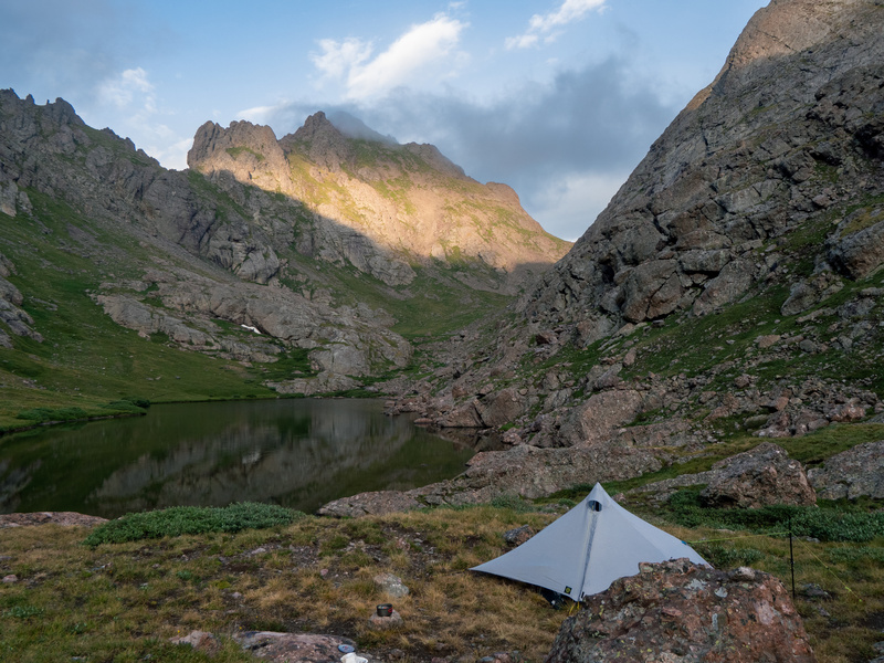
Despite the high volume of hiker activity in the area, it wasn’t hard to feel the remote, rugged nature of the Sangres. We gawked at the impressive mountain valley we descended into and found a great campsite not far from Cottonwood Lake, Broken Hand Peak and the Crestone Needle filled in the composition from our vantage point. Galen graciously shared his bounty of snacks - I’d forgotten a majority of my own in the car - and we made camp, talking with other hikers passing by. For our second day in the SDCs we cleared the obstacle of Broken Hand Pass, tested our legs and climbing abilities with Broken Hand Peak, and established our base camp for our ascent of Crestone Peak the next day. Our proximity to the start of the climb up the 14er almost guaranteed we’d be the first to summit if we stuck to our planned early start. We rested at camp; it appeared that we’d have the valley to ourselves for the evening, until another group arrived, dog alongside them, who asked “Do you mind if we share the spot?” 
Brothers Nick and Daniel arrived with their year and half old boxer, Brie, and set up their camp yards away from our tents. It was too much to hope for to have the place to ourselves. We gave each other space through our respective dinner times and finally palavered briefly with the brothers who, we learned, also had ambitions at being first up the mountain in the morning. We casually agreed to summit together. Nick, Daniel, (and Brie!) all had 14er experience. Their home in Denver meant that they had traveled the state extensively bagging peaks. Nick was looking to claim his 44th 14er with the summit the following morning. We figured having more experienced climbers with us would be a boon to our own success and safety. As a group of four hikers and one four-legged hiker, we set our alarms for the very early hours of the morning and all turned in. As I tried to rest, I thought about our newly formed climbing party. Where Galen and I were thoroughly planned and somewhat anxious about the climb the next day, Nick and Daniel felt relaxed, unburdened. I’ll admit, I was dubious about scrambling up a mountain with a dog in the party. The brothers had an easy-going, fun-loving vibe about them, but I had a feeling their risk tolerance was much greater than our own. If backpacking with a buddy for the first time brought some unknowns, summiting a mountain with perfect strangers seemed like an especially interesting prospect. My mind swirling, I tried to sleep. Seemingly an eye-blink later, the 3:30 alarm blared. Go time. Part III - The Red Gully & The Green Ramp
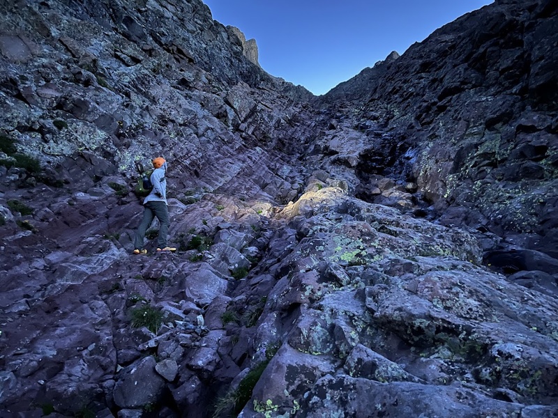
Early, so early. I wobbled onto my feet as I clamored out of my tent. Galen was already awake and heating up water for coffee. We didn’t plan to strike camp yet, allowing us to leave promptly. Headlamps on, we started our hike, but without Nick and Daniel, who appeared to be still asleep in their tent. Galen called out to them that we were heading up - I thought we wouldn’t see them until much later. We had taken the initiative and it seemed we would be first to summit. We had a short walk over to the Red Gully, a mile long, sloping, rock-chocked chasm leading directly above to the notch that marked the start of the peak’s final scramble. The first third of the Red Gully was characterized by good rock with some initial Class 3 moves. In the dark, the pitch certainly got our blood flowing and the adrenal glands up and going. 
A tricky, nearly vertical rock ladder, straddled by a low flow, small waterfall, gave us our first problem to solve on our ascent. Obstacle cleared, we continued our climb and continually looked for the best rock holds and firmest footing to move upward. The middle section of the gully progressed into looser talus and rock hummus. Sandy and gravelly patches shared our route with less than secure stones, requiring careful movements and constant communication as to what went versus what would cause trouble. “ROCK!” was only necessary a few times, a testament to our careful approach. Galen guided exceptionally, narrating as he led, giving insight into the best route as well as which holds were unreliable. I appreciated his safety first mentality and I quickly developed trust in his intuitions and advice during our most challenging parts of the pitch.
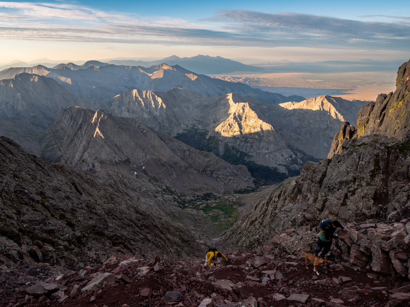
We eventually saw two headlamps below moving at an unbelievably quick pace. By the time we reached the middle of the gully, Nick, Daniel, and Brie had completely caught up to us. It was soon evident how fast friendship and community can develop in the backcountry. As we moved, we folded our new climbing mates into our party, sharing snacks, cracking jokes, and talking about our favorite trips during short breaks. Nick and Daniel proved to be an awesome cheering section for Galen and I, “This is your first 14er? Whoa! You guys are badasses. This is a spicy one, you’re killing it!” remarked Nick, our small crew’s most experienced peak bagger. Having Brie along, while at first making me a bit nervous (the last thing I wanted to see today was a dog get hurt), wound up being an incredible morale booster. Our new buddies mentioned this was the fifth 14er she’d been up and it showed! She was calm, cool, and collected the entire way up, easily ascending the scramble without need of assistance. After some more scrambling we made it to the notch and looked back down at the Red Gully, now fully illuminated in the morning light, the peaks to our south now radiant. 


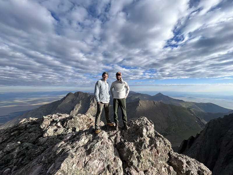
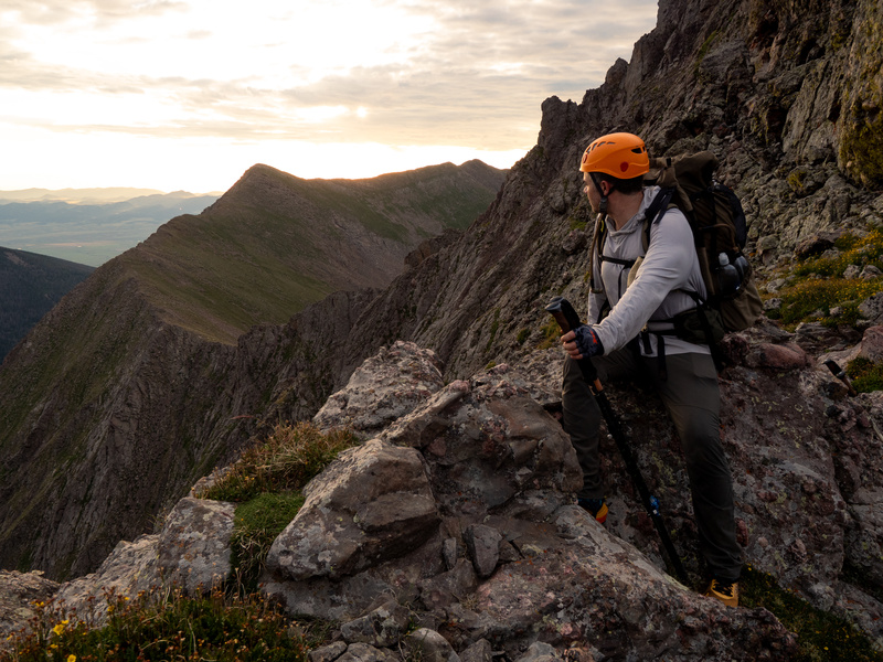
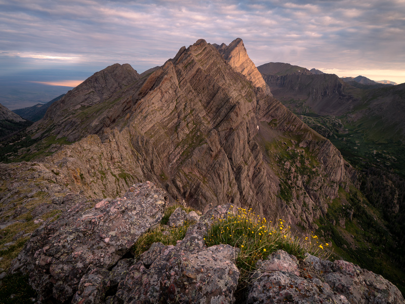
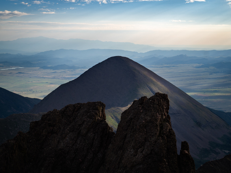
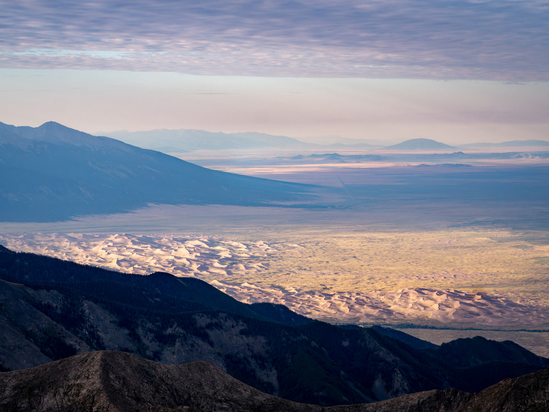
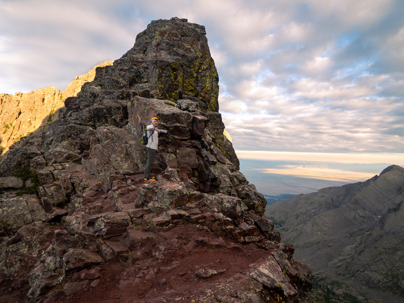
Exposure wasn’t a word I was fully familiar with in the climbing sense before I began researching our summer Colorado trip. For the uninitiated, it basically refers to how bad a fall would be during a particular part of a climb. The more the exposure, the more catastrophic a fall becomes. Vertical faces, high elevation, narrow ledges…these are the characteristics that amount to a mountain’s exposure. The exposure for Crestone Peak is at its greatest when you move from the notch up to the summit. I’m not afraid of heights, but there was a moment on the ledge leading to the peak where I got a bit of the willies. Once up top, there was plenty of room to maneuver without risk of falling. Feeling the security under my feet, I finally took a look around. The views were simply indescribable. The perspective at that altitude is just different than anything else I have ever experienced. I understand now why people chase the mountains, it was an unreal feeling of accomplishment and awe at the beauty in every direction. We arrived as a party of five just before 7am. We stayed on the summit for an hour, taking photos, sharing snacks, and enjoying each others’ company. There was an irresistible giddiness among our group. The achievement meant something a little different to each of us, but we were all grateful to be there. 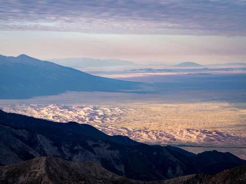


Eventually, we turned our attention to the task of the descent. Nick and Daniel had to be back in Denver by the afternoon, so they bid us adieu and seemingly skipped down the mountain. We quickly lost sight of them, their pace far exceeding our own. We didn’t have similar demands for the day and took our time accordingly. We saw the oncoming crowds looking to do as we had just done. We passed multiple groups heading up the mountain and shared as best we could any helpful intel. Not far from our minds was the earlier appearance of the rescue helicopter. Not long after exiting the Red Gully, we encountered a solo hiker who told us about the possible cardiac event for the hiker airlifted away. 
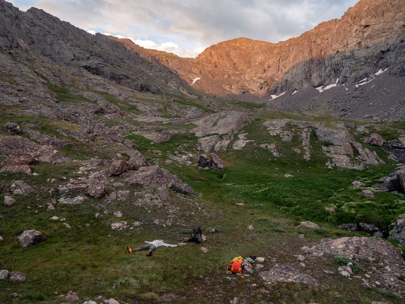
The sun rose overhead and warmed up the mountain valley. A dip in Cottonwood Lake felt great on our feet and legs as we collected water, had lunch, and reflected on our successful first 14er. When the sun gained even more intensity, we found refuge - mine by propping up a flap of my tent for exterior shade (the greenhouse effect inside the tent made it unbearably hot), Galen rested in the shadow of a huge rock’s overhang. Mountain weather can change fast. The afternoon clouds rolled into the basin and threatened rain. Yesterday evening after our climb up Broken Hand Peak, we were relegated to our respective tents when a light but persistent rain fell. This afternoon it seemed the pattern would repeat, but the threat never fully materialized. With some hours passed off our feet, we finally broke camp and got moving.
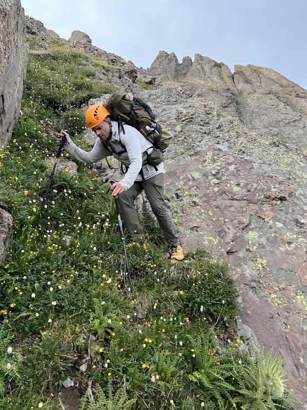
We left Cottonwood Lake and walked back towards Broken Hand Peak, except this time, we veered southeast through a low saddle between Broken Hand and Cresolita Peaks. Once we cleared the saddle, we hugged the rocky slopes to our left as we worked into another mountain basin, this one dominated by Milwaukee Peak. Galen’s navigational skills were especially important at this part of the hike. The saddle didn’t gradually descend into the basin, it had a burly drop amongst thick vegetation separating us from the valley floor below. Galen mapped out another route weaving between rock ribs and steep grassy slopes. It wasn’t an established route by any means, but according to the topo lines and slope angle, it seemed doable. Galen saw a green ramp that, if we could only access, we could descend to flat ground to use for camp without losing too much elevation that we would have to regain the next morning.
The route went, but it was unpleasant. This was the part of the trip where I felt things get sketchy. I trusted Galen’s plan and his aversion to danger, but I didn’t like the steep angle nor the still present threat of rain, which would have imperiled our descent even more than the already slick grass and loose rocks. 
I could feel my feet spilling over the tops of my shoe’s soles at this uneasy angle. I made sure to vigorously stab in my trekking poles and test their stability before making my next step, an arduous process that quickly added discomfort to my tiring muscles. But, the section didn’t last too long, and just before sunset, we hit flat ground and immediately fell upon an exquisite campsite next to a small trickle of a creek. 
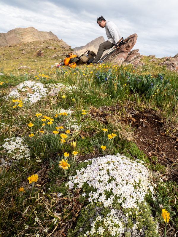
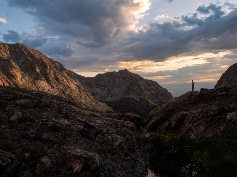
The mountain pass we’d climb in the morning above us, the window down to the plains at the end of the mountain valley below us. The setting sun lit up Milwaukee Peak in Sangre red light. The thick grasses of the basin were a luscious green, stretching in every direction; mountain flowers dotted every verdant surface in speckles of eye-popping color. Gray rocks, once untouched by direct sunlight, transitioned into deep purple as the last light of day vanished. I collapsed into my tent exhausted, relieved, and content in the gorgeous setting. I closed my eyes and braced for another alpine start. Tomorrow contained a mystery and a trek through the sky. 
Part IV - Sky Walkers
The predawn temperature was mild and muggy. Condensation lined the inside of my tent; I got dressed very carefully to avoid touching the wet walls. It proved useless when I used the main support of the tent, my trekking pole, to help myself climb out, somehow snapping a part of one of its clasps and collapsing the drenched single wall of silpoly onto my sleeping gear and clothes. It wasn’t the start to the day I was looking for. After yesterday’s down climb, where I had greatly relied on my trekking poles, I shuddered at the prospect of having to climb up a steep, loose mountain pass with a pole out of commission. I made a suitable field repair and tested it under my full weight. It looked like it would hold up. I’ll admit, I was nervous for the day. The climb up Crestone Peak should have filled me with confidence, and it did to an extent, but that was a well-travelled, if quite challenging, route. We encountered many hikers who would have been able to help should something bad have happened, and the climb itself had several viable paths, many with cairns marking the way to the best option in particular spots. Today’s route would start off trail, gaining the ridge between Broken Hand and Milwaukee Peaks. I started us up the climb and picked a poor angle towards the pass, leading us to a boulder patch we had to traverse around. Just as the sunrise began to light up the rock around us, Galen regained the lead and found a suitable path up. We spaced out a bit to give us room to maneuver should one of us knock loose some rocks. From about 30 yards above I heard Galen start to laugh “You gotta see this…” Fearing some impassable challenge, I narrowed my gaze and made haste towards his position.
Back when we were frantically pulling together the itinerary for our new Colorado trip, our primary plans scrapped due to wildfires, we regarded this day’s route as a big question mark. A crux of the trip in some ways. Trip reports from a small number of hikers who attempted the Sangre de Cristo Traverse, a grueling completion hike of the range along its mountain ridges, commented on a Mystery trail that doesn’t appear on published maps. The trail was supposed to guide tenacious hikers around the tricky exchange from one side of the pass to the severely sloping northeast face where it would ultimately lead one onto the ridge that includes Marble Mountain. This ridge was our planned exit from the mountains back down to the Grape Creek Trailhead and the car. The topo map looked bonkers. Where could a trail be amidst such condensed little lines? But the sources were emphatic about the supposedly excellent trail. So we made plans to find it and to follow it onto our ridge trek: 12,000-13,200 feet in elevation, views in 360 degrees, and miles of sky walking. 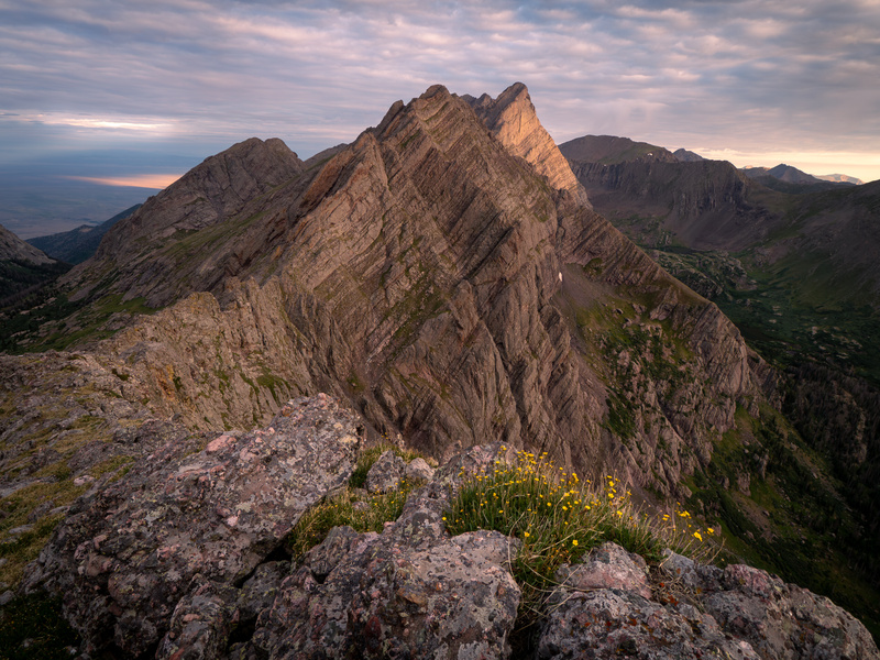

I caught up to Galen and saw the Mystery Trail at his feet. I never thought I’d be so grateful for a steep trail, but here we were, ecstatic at the find. Our miserable rock ramp walking/scrambling was over. We glided along the fantastic foot path. For a trail so obviously used infrequently, it was covered in low vegetation, it was well-designed and carved, lined with chest sized rocks helping to define the path. We rounded the pass to our descent and zig zagged down tight switch backs. The trail was a lifeline. Here a stumble would have spelled big trouble, but the footing of the Mystery Trail gave us smooth steps down a steep mountain face. 
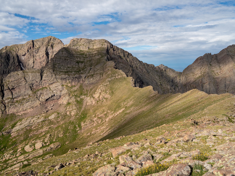
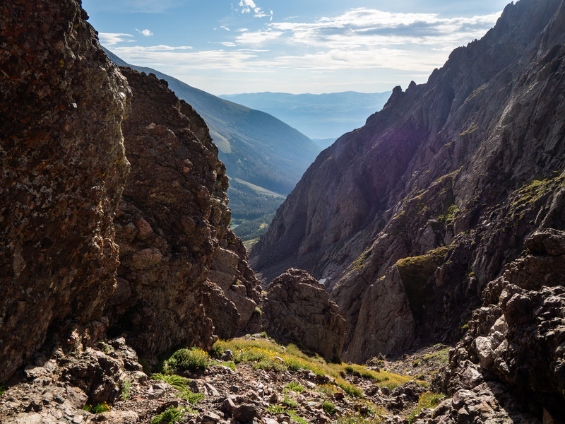
We came through Milwaukee's notch (upper left), and took Mystery Trail down the steep face. Looking at this photo, it’s hard to imagine a trail in that terrain, but it’s there! 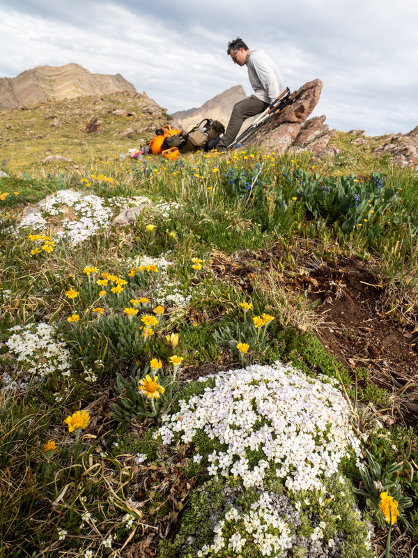
Eventually we merged onto our ridge and saw a small placard sticking up out of a pile of stones that we knew marked the end of the Mystery trail. A mystery was a gift this morning. We needed the good fortune. The PM forecast held a strong likelihood of thunderstorms; we knew we had to traverse the ridge before the afternoon. Making good time was important since we’d have no where to bail if a strom hit us exposed on the ridgeline.
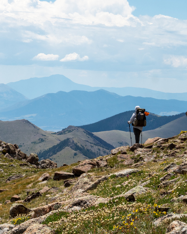
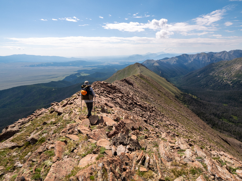
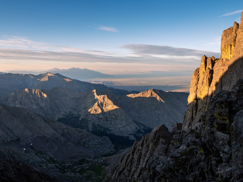
We stayed high on the ridge and enjoyed the wider than expected foot room. We soon regained some elevation and had to climb over boulders in sections along the top of the mountain spine. The sun emerged from the clouds, the weather had been drab until this moment. Galen took full advantage of the light’s breakthrough and aimed his camera to our north, filling his viewfinder with some of the range’s highest peaks. The Needle and Humboldt, Broken Hand Peak and Pass, the South Colony Lakes in the basin we camped in on our first night. To our west, we could see Upper Sand Creek Lake. We literally had the best of two worlds, the world of mountain valleys we had explored, and another, the full Sand Creek drainage. We saw our route from miles away, all situated along the highest possible walk forward. Later, we climbed Marble Mountain and signed the summit register. The views continued to wow us and we snagged loads of pictures of the martian-like surface of our ridge juxtaposed with the cerulean sky. Clouds formed up and skirted to our north, leaving the sun to beam down on us. We started what would be a large descent near the ridge’s terminus at Music Pass. 

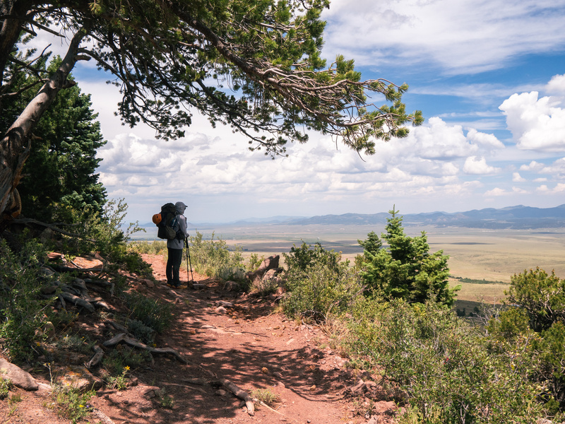
Here there were only faint signs of use trail, leaving us to route find again. Our feet began to hurt, a nasty blister formed on the side of my heel from side-hill walking. We were finally back under the treeline and took advantage of the shade for a break. We had been running on pure adrenaline and unbelievable views for three days. This fourth day’s major challenges had been cleared and we were in the homestretch, but this was where the wear and tear caught up to us a bit. We finally restarted and discussed our plans to find a place to refill water. We only had four miles left to get to the car, but I was nearly out of water and the afternoon’s temperatures were swelling. Not two minutes after discussing our water plans, we literally stumbled upon a spring, flowing narrowly out of a slot in the ground. I dipped low and felt it’s ice cold water, splashing it on my face. I dug a little channel in the mouth of the spring and let the sediment settle. I then filled my bottle and deeply drank the cold, refreshing water. I handed my bottle to Galen and then refilled it multiple times - giving myself a brain freeze from chugging the icy water. What a find! We knew springs were in the area, but the ones marked on our maps were much further out of our way. We felt recharged, and made the decision to jettison our plan for one more night in the backcountry. Our proximity to the car and our planned extra buffer time we didn’t wind up needing meant we could avoid the oncoming rains - we were validated in our choice later when we saw the clouds dump on the mountains as we drove south.
We rapidly walked the forest road back to our trailhead. We high fived and set about unloading our packs, changing into clean clothes and crushing our remaining gatorades. Not long after, we visited Westcliffe for burgers and beers. Hunger satiated, we pointed the car south and hit the road. The miles back to Texas remained ahead of us. “Amarillo by morning…” well not quite, more like 11:00 PM. Hotel showers provided a remedy for our smell and soft beds gave comfort to our aching joints. The next day we enjoyed the FKT Podcast for the many hours drive between Amarillo and Austin, finally saying our goodbyes and celebrating a successful trip.
Getting something like a backpacking trip on the books with a buddy isn’t easy. Busy folks’ schedules and daily life demands make getting away like this a privilege, one I don’t take lightly. I appreciate the thought that Galen put into this trip, and frankly, I salute his bravery for inviting me. We haven’t known each other long, and though we’ve hung out previously on a handful of occasions, I know it took him putting himself out there to ask if I wanted to go. We all fear rejection to some extent. Plus, being around someone who you don’t know super well for 24 hours a day, days on end, can be an anxiety-producing prospect, but backpacking is literally about putting yourself out there. I guess all I’m trying to say is that opportunities to bond with others via a shared experience aren’t everyday occurrences. When those opportunities arise, there will always be reasons to not pull the trigger. We all have such busy lives. “No, sorry man. I can’t” is easier, and often a necessary response in many circumstances. However, if there’s any way you can make “Yeah, that sounds great” work, you’ll find there’s still plenty of mystery left in this world. 
Thanks, Galen, for an excellent trip! Thumbnails for uploaded photos (click to open slideshow): 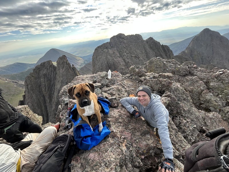
|
| Comments or Questions | ||||||
|---|---|---|---|---|---|---|
|
Caution: The information contained in this report may not be accurate and should not be the only resource used in preparation for your climb. Failure to have the necessary experience, physical conditioning, supplies or equipment can result in injury or death. 14ers.com and the author(s) of this report provide no warranties, either express or implied, that the information provided is accurate or reliable. By using the information provided, you agree to indemnify and hold harmless 14ers.com and the report author(s) with respect to any claims and demands against them, including any attorney fees and expenses. Please read the 14ers.com Safety and Disclaimer pages for more information.
Copyright: Route information, text, risk factors, maps, GPX files, charts, photos, 14ers.com-created map imagery, flythroughs, and other content provided in this route description are copyrighted by 14ers.com and may not be copied, reproduced, republished, distributed, modified, or used to create derivative works without prior written permission.
Please respect private property: 14ers.com supports the rights of private landowners to determine how and by whom their land will be used. In Colorado, it is your responsibility to determine if land is private and to obtain the appropriate permission before entering the property.



