
| Report Type | Full |
| Peak(s) |
Rimuza Mountain 20,234' |
| Date Posted | 07/21/2025 |
| Date Climbed | 06/20/2025 |
| Author | WSN |
| The Easiest 6000 m / 20,000 ft Summit in the World |
|---|
|
Rimuza Mountain is arguably the easiest summit among all independent peaks over 6000 meters (or 20,000 ft) in the world. The name "Rimuza" might mean "very high mountain" in Tibetan, but it is not really that high from where you can see it. 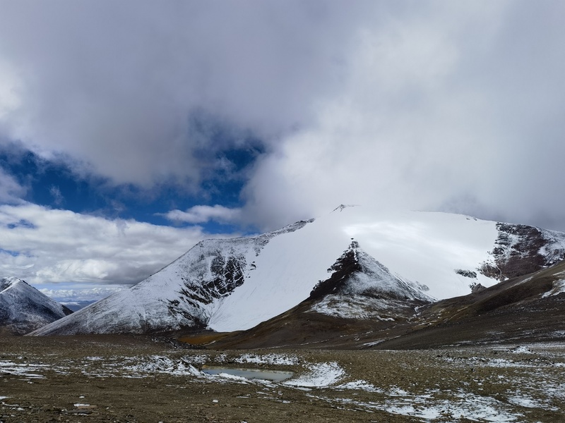
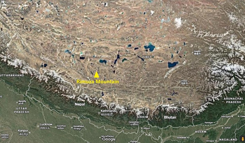
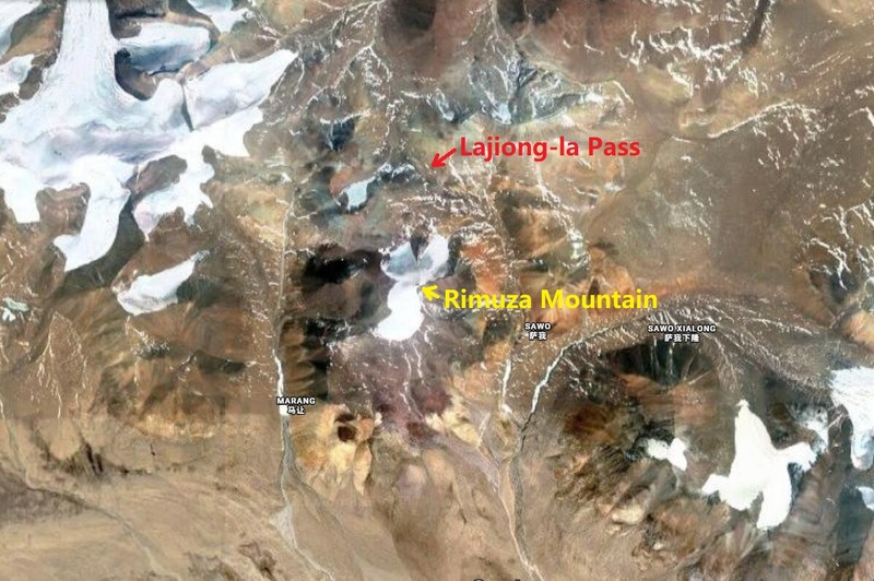
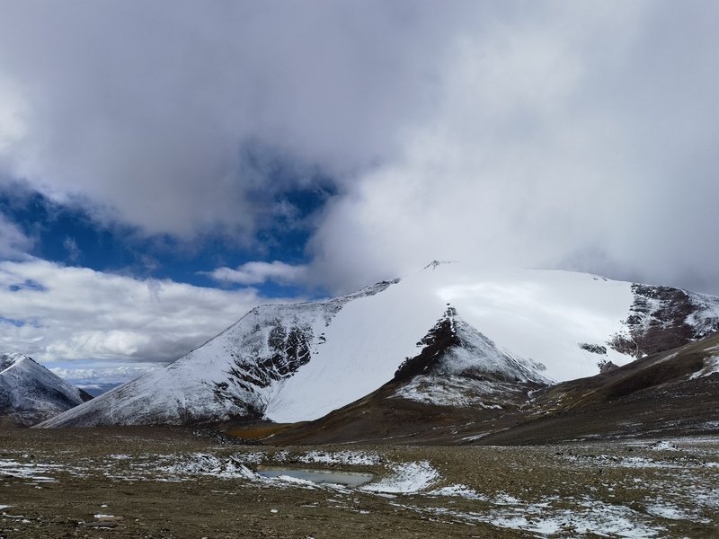
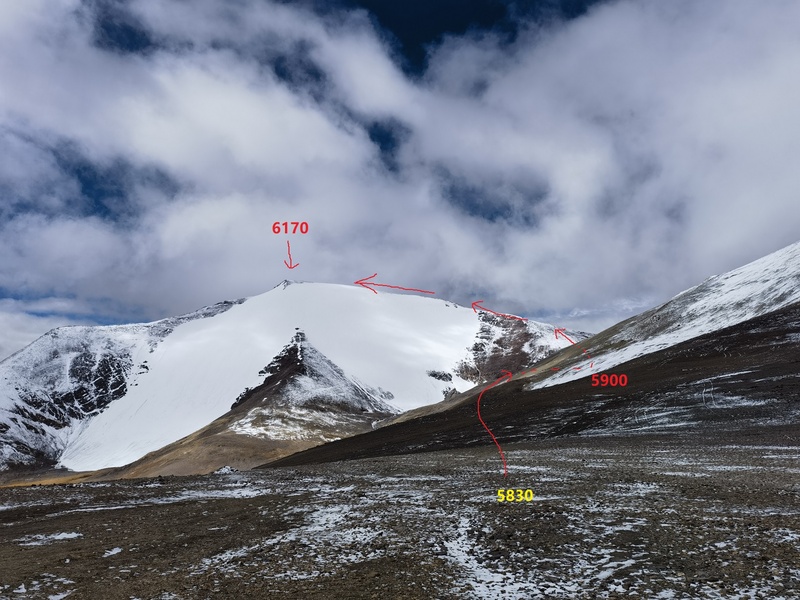
It is located in Cuoqin (Coqen) County, western Tibet, at 30.1338°N, 85.0971°E, and belongs to the Gangdise Range (also known as the Kailash Range). Its actual elevation is about 6170 meters (20,243 ft.). It is the highest peak in the vicinity of Lajiong-la Pass, with a topographic prominence of nearly 300 meters and an isolation of about 4 kilometers from the nearest higher peak. The summit is glacier-covered, and the face directly facing the road pass is known as the Lajiongla Glacier. More importantly, Rimuza is the only peak in the area labeled with a name on official maps. 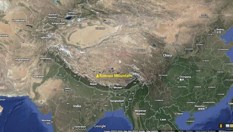
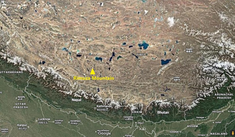
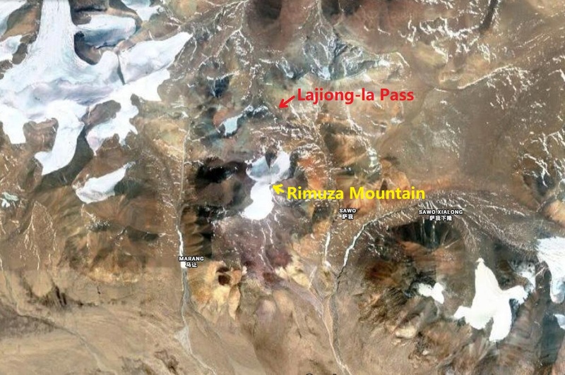
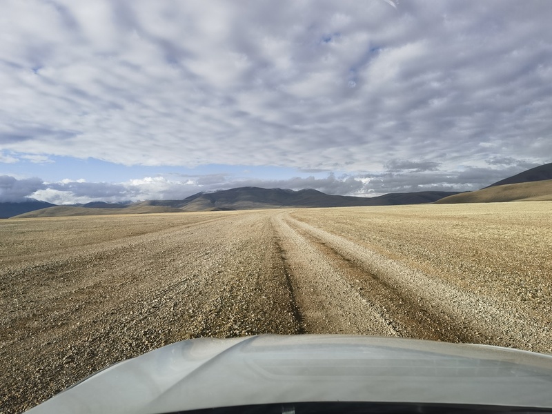
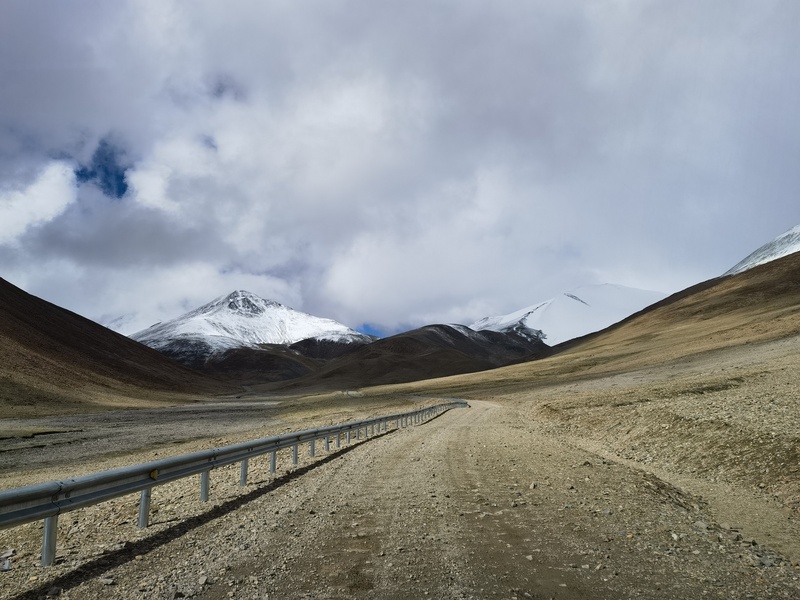
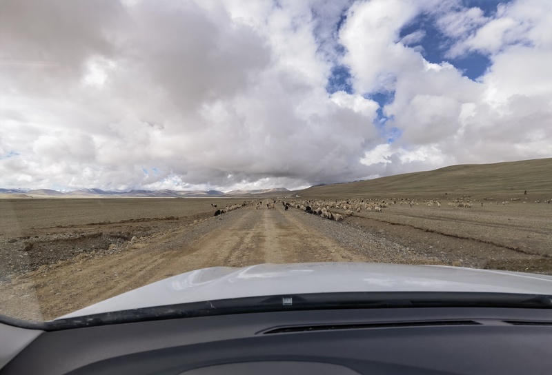
The reason this mountain is so easy to summit is largely due to Lajiong-la Pass, which has an elevation of 5830 meters (19,127 ft.). It is considered the highest motorable mountain pass in the world. However, the 50-kilometer (30-mile) unpaved road to Lajiong-la Pass is the primary challenge. It’s not terrible—technically, even a sedan could reach the pass. But the two-hour (one-way) drive is very bumpy and uncomfortable. Back in June: my companion and I drove out of Cuoqin (Coqen) town at dawn, heading south on high way G216. We turned off the asphalt road and headed to Lajiong-la Pass. 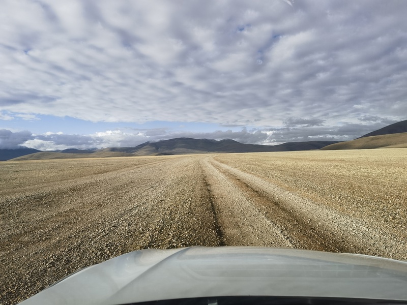
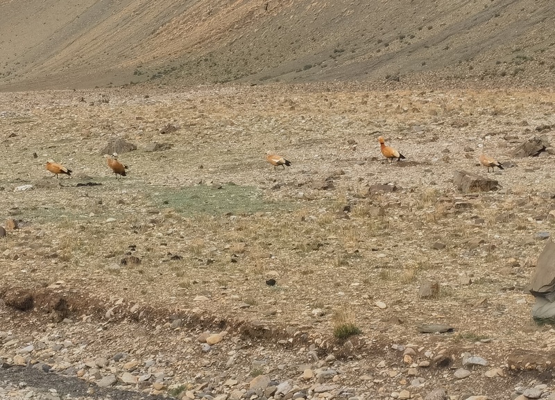
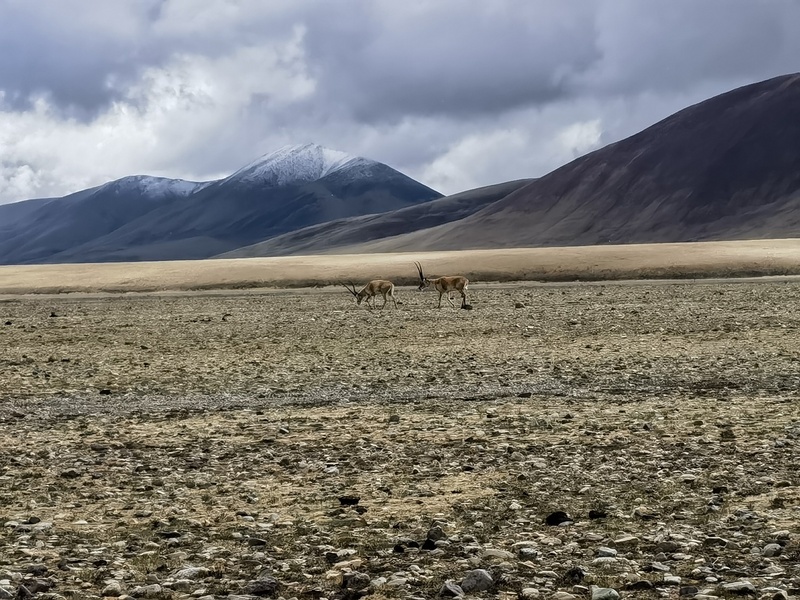
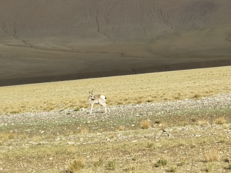
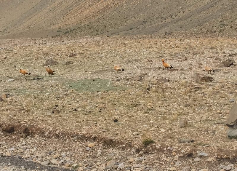
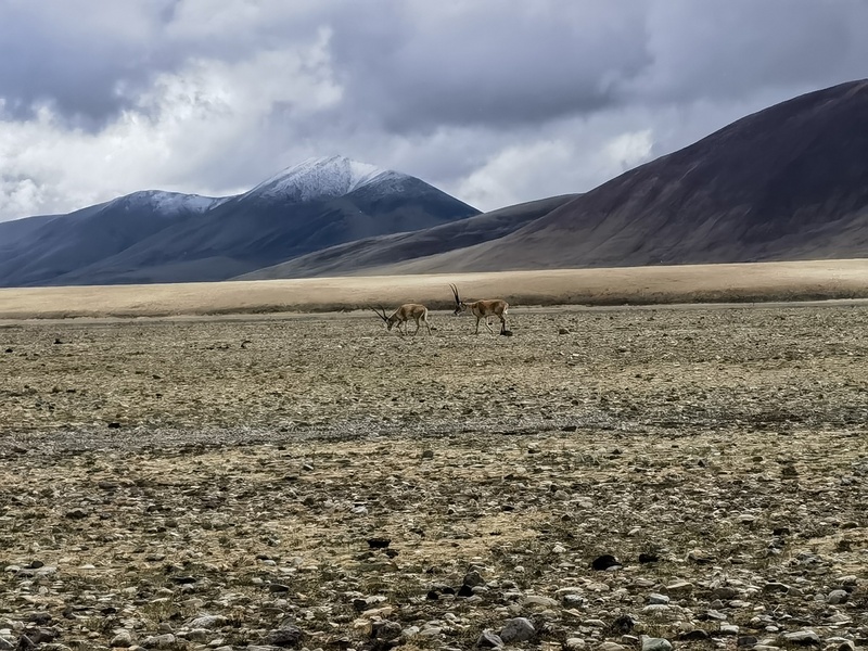
Although the grasslands were barren, we did spot some wildlife, as well as a herd of sheep. 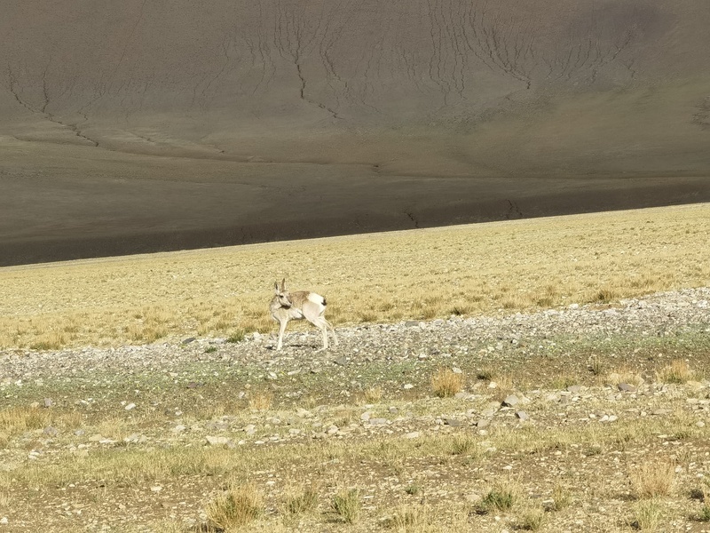
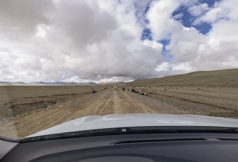
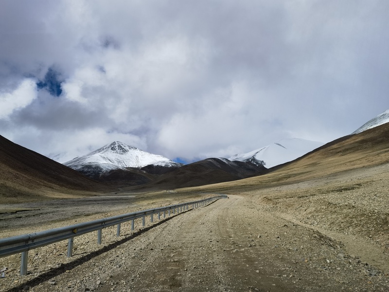
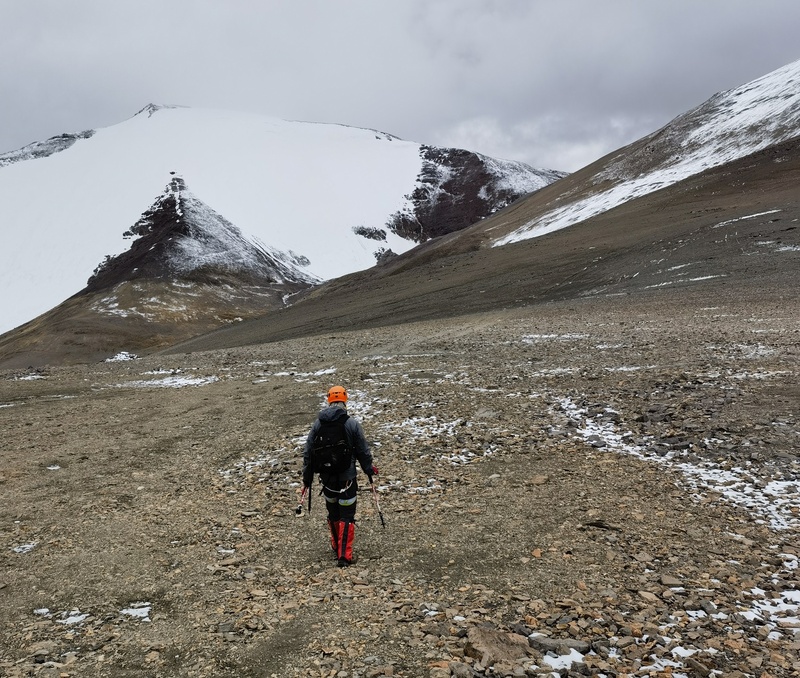
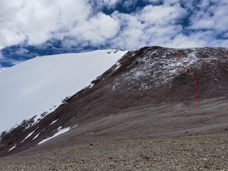
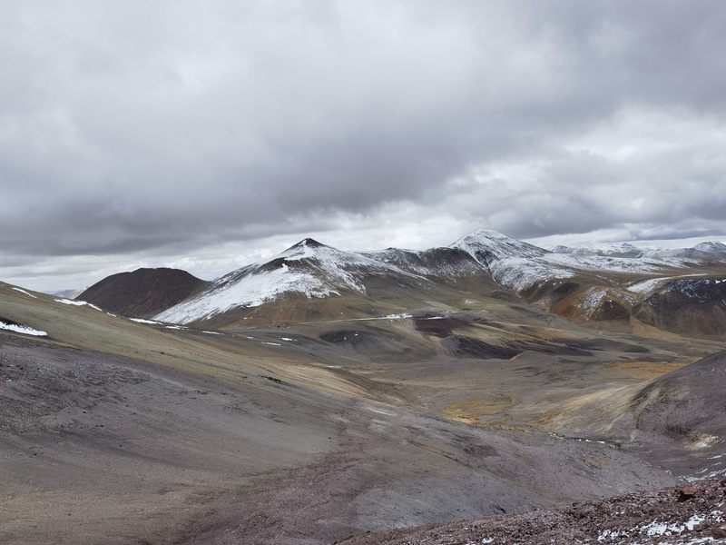
Then the road began to climb. As we approached the pass, conditions worsened slightly, and two sections were quite steep. I had the accelerator floored and the transmission in first gear, yet the speed kept dropping: 10, 8, 6, 5... I told my companion: “if the car stops climbing, please get out”. Fortunately, the speed held at 3 km/h, and we crept up the slope without incident. Rimuza Mountain stood to the south of the pass, with its glacier facing directly toward the us. The obvious route was to traverse along the base of the peak north of Rimuza, reach the saddle between them, then ascend Rimuza via its northwest ridge. 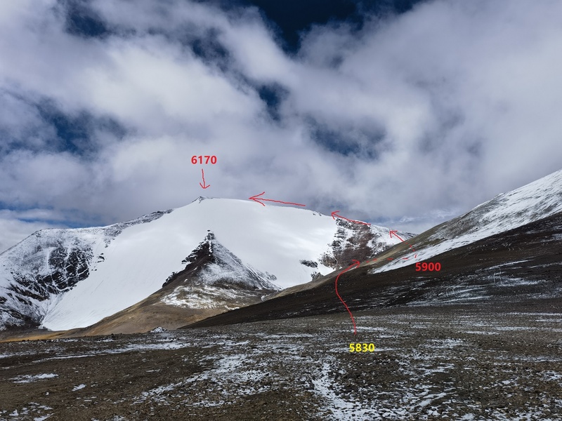
By around noon, the weather began to improve (it was snowing when we first arrived at the pass), and we set off toward Rimuza. 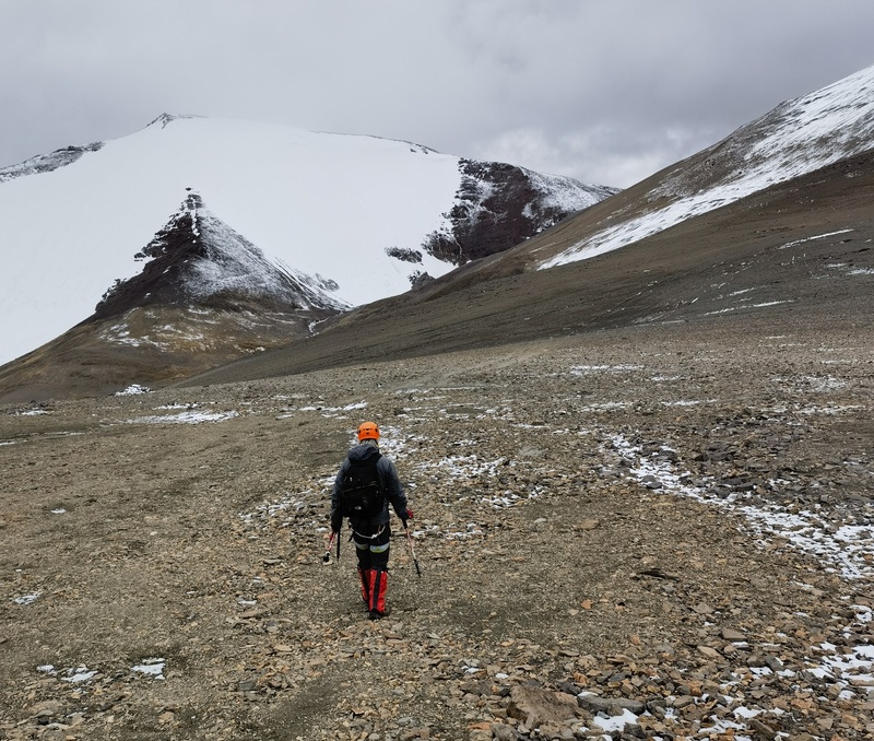
We continued traversing the slope. 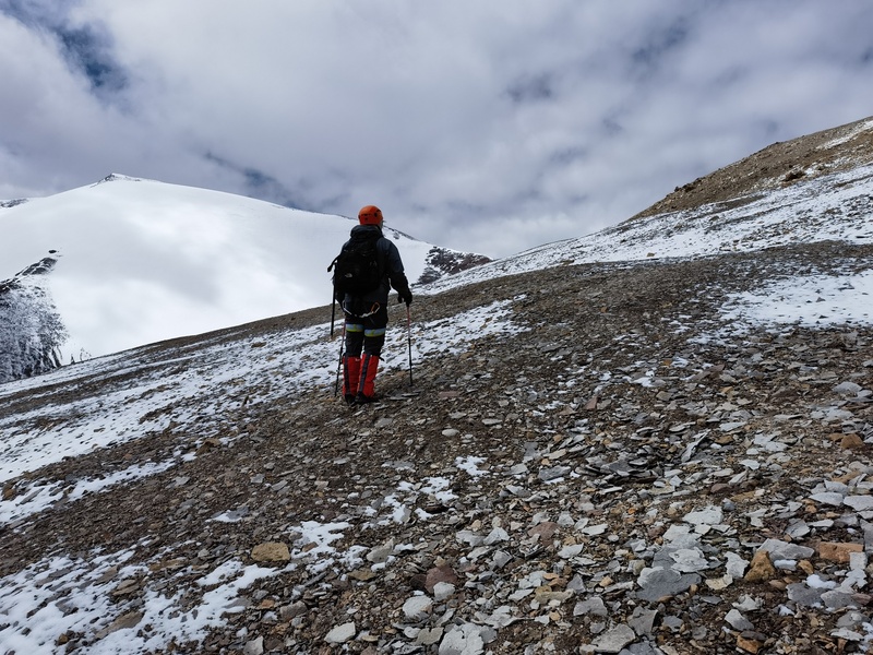
My companion didn’t really intend to climb the mountain. He just wanted a short hike for the experience. Before we reached the saddle, he turned back to Lajiong-la pass. I continued solo, reaching the saddle between the two peaks at around 5900 meters. 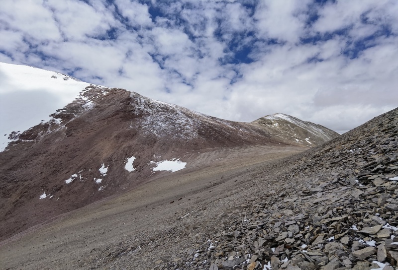
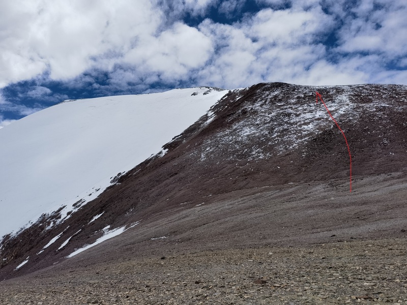
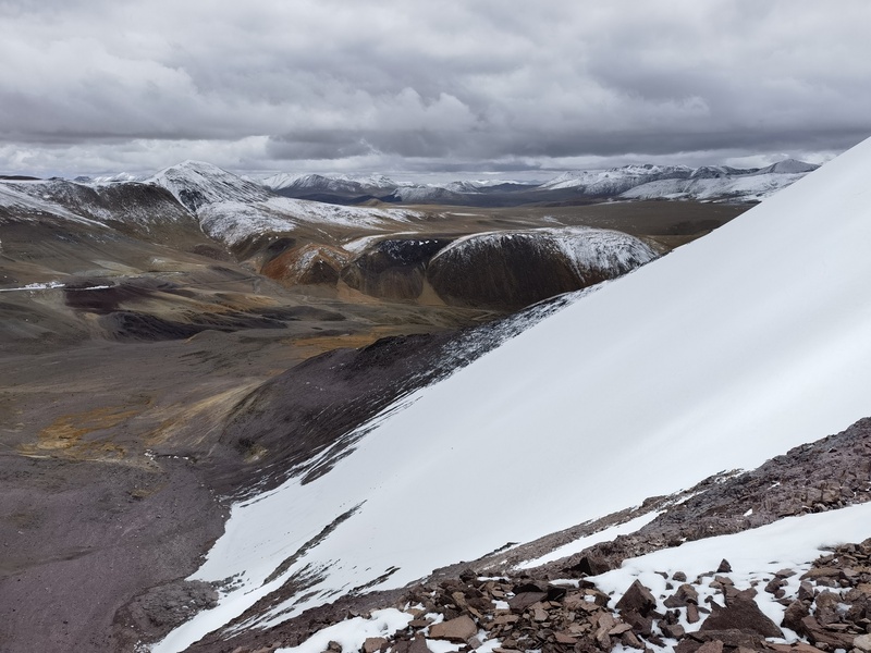
Looking back at the pass. 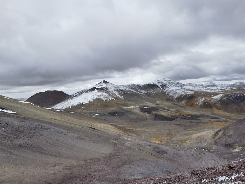
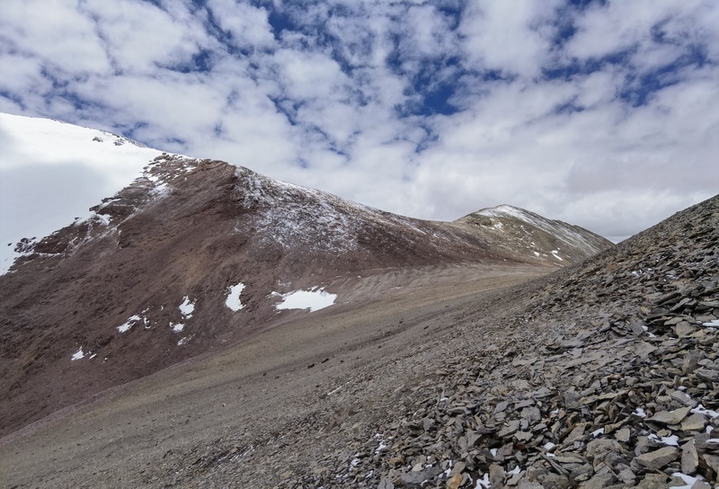
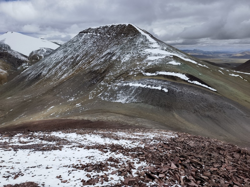
Looking north from the slope. This peak (6130 m) seemed easy. 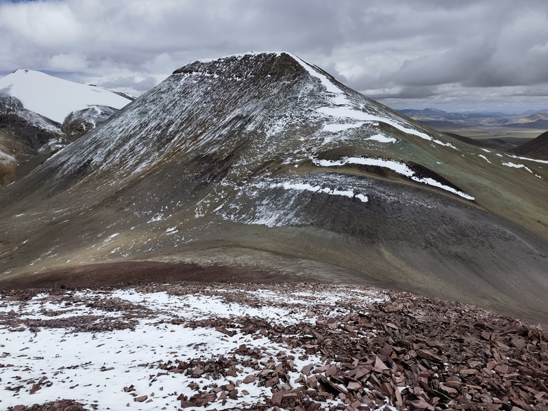
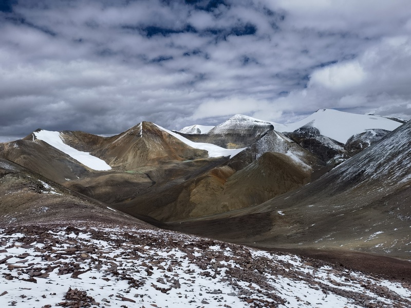
Central Gangdise Mountains. 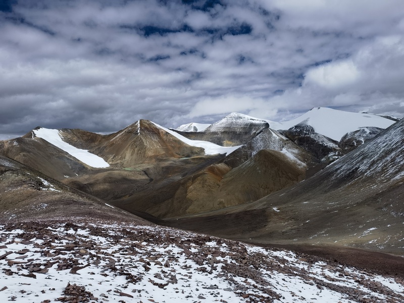
The Lajiong-la Glacier. 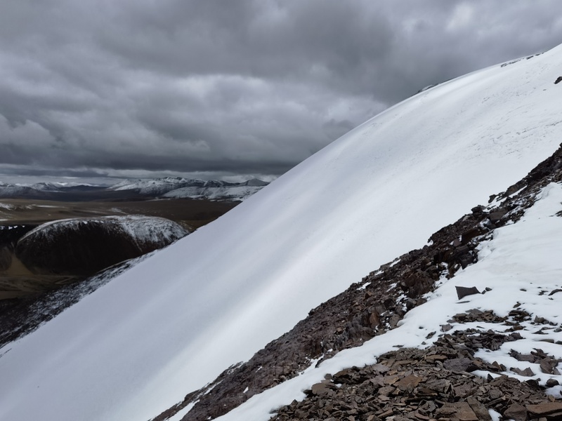
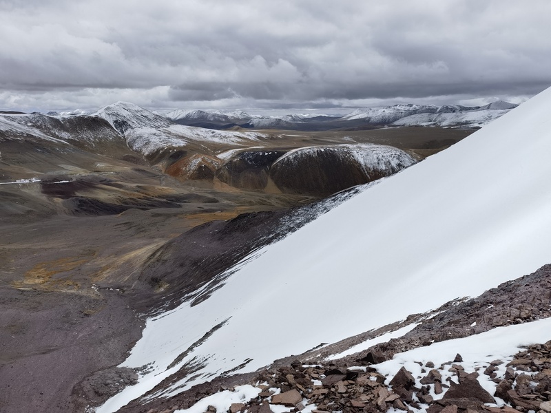
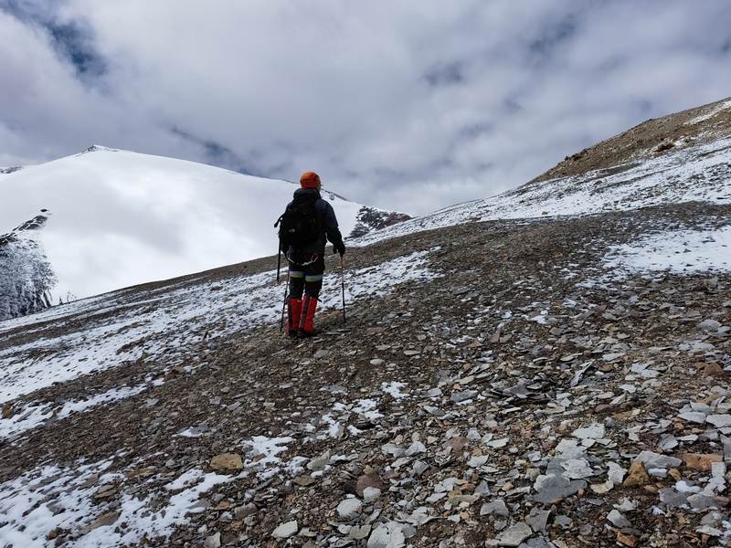
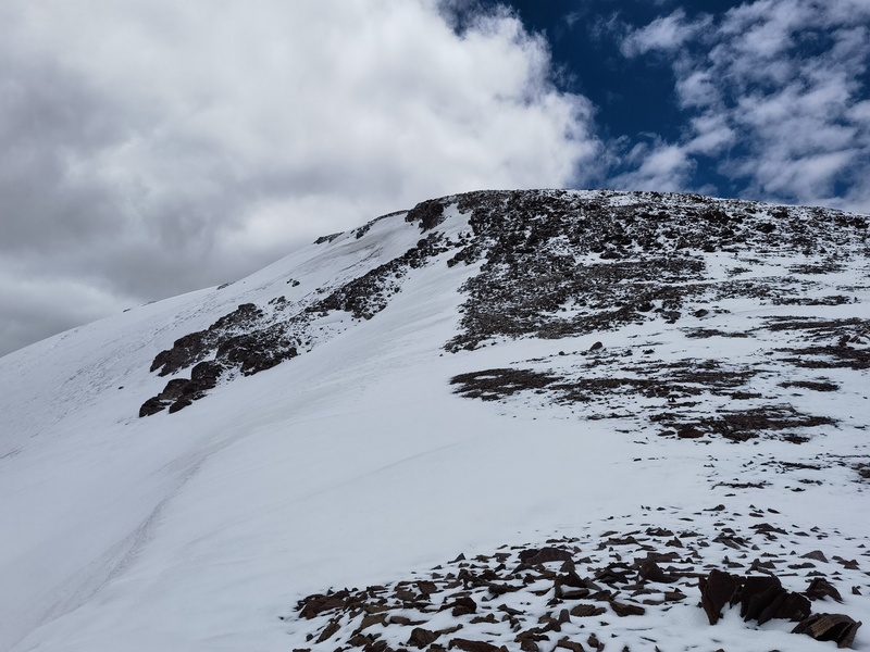
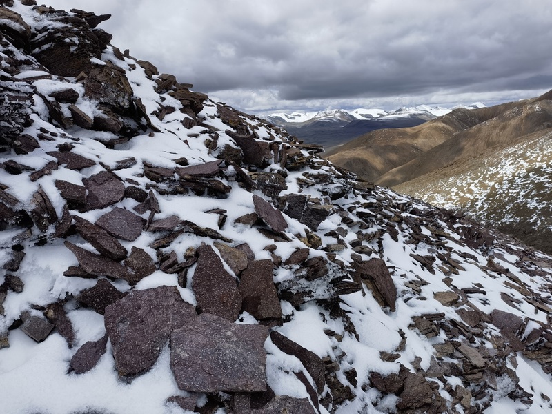
The upper part of the slope was partially snow-covered, but it was very easy to walk. 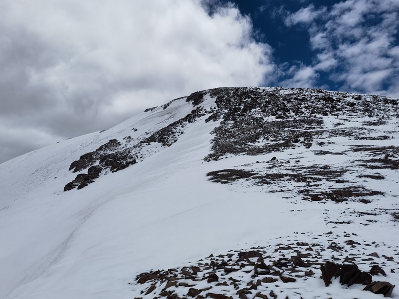
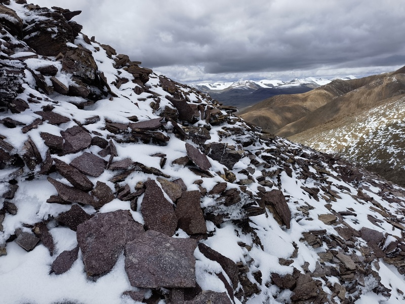
In 50 minutes, I gained 200 meters in elevation, which was faster than expected. It actually felt like climbing a 14er in Colorado. A snow slope finally came into view. 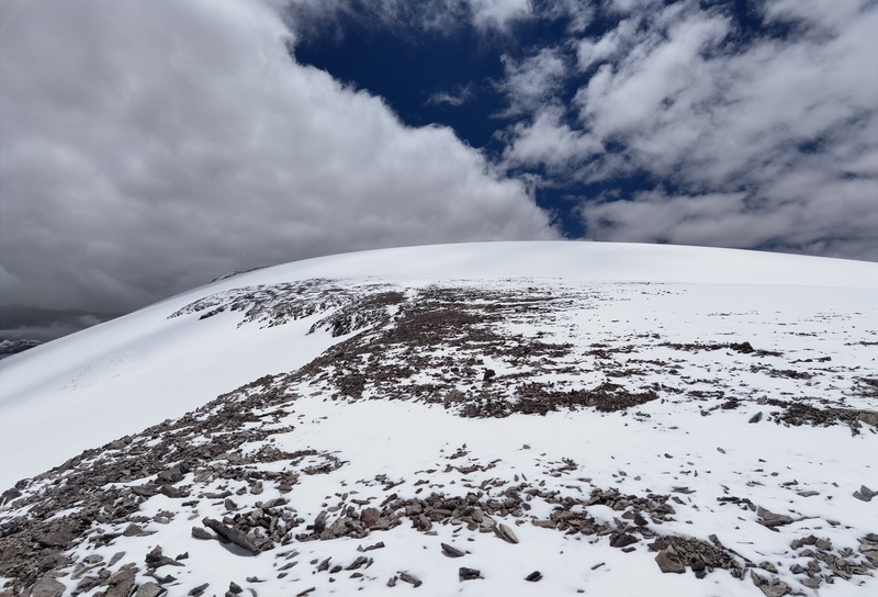
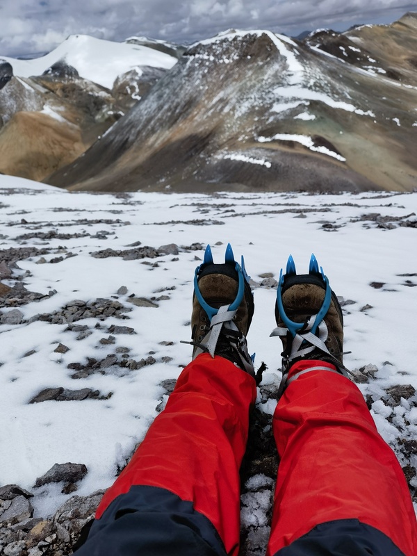
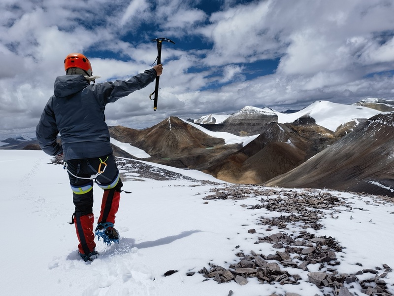
I put on crampons and held my ice axe. 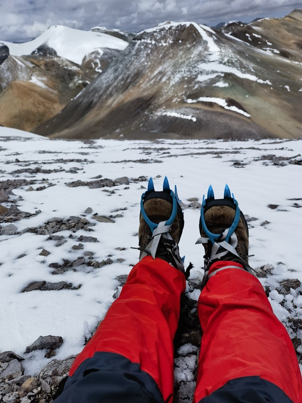
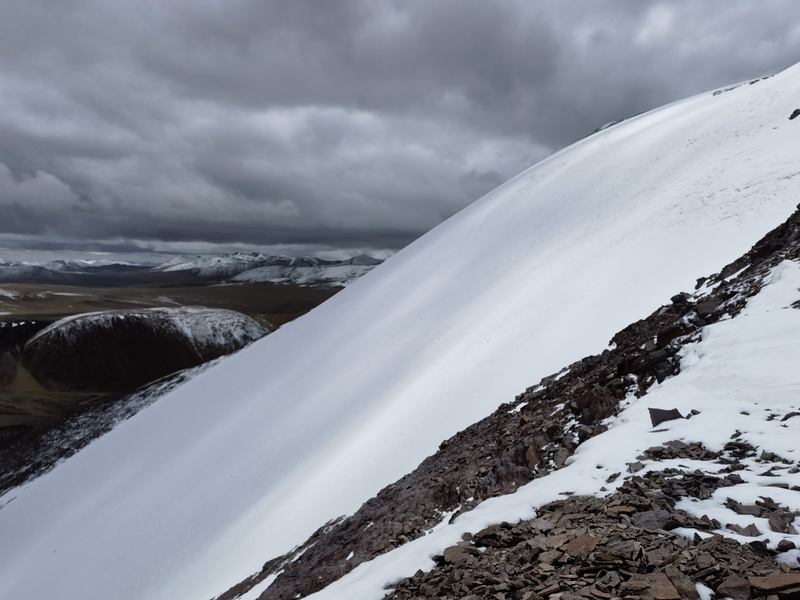
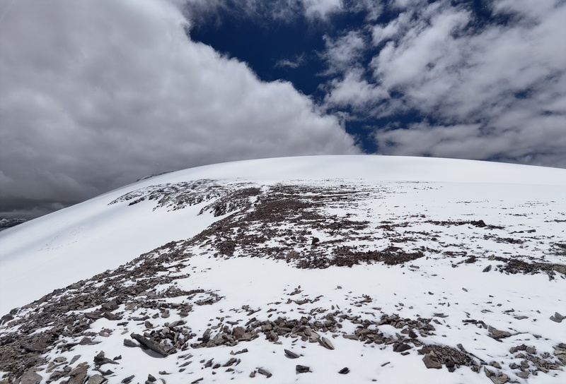
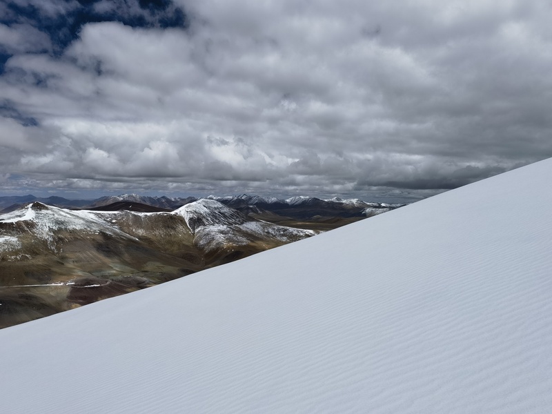
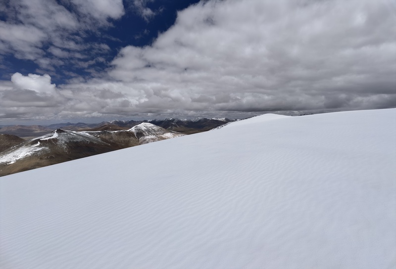
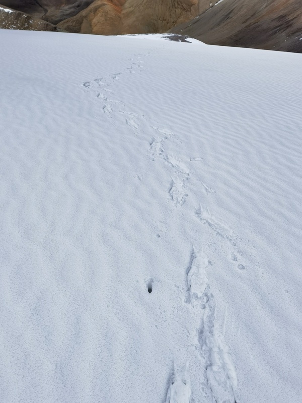
The snow slope wasn’t long or steep. About 10 cm of snow was on top of solid ice. 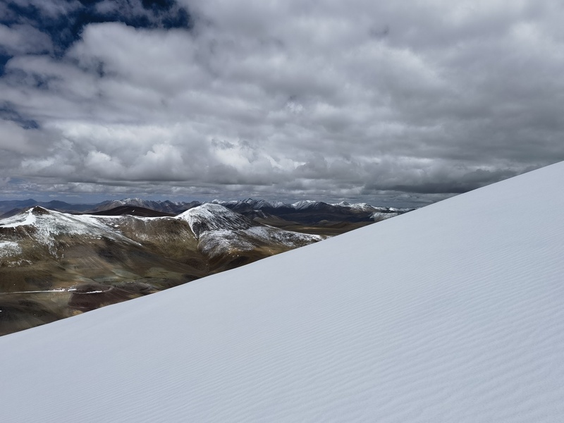
Footprints on the snow slope. 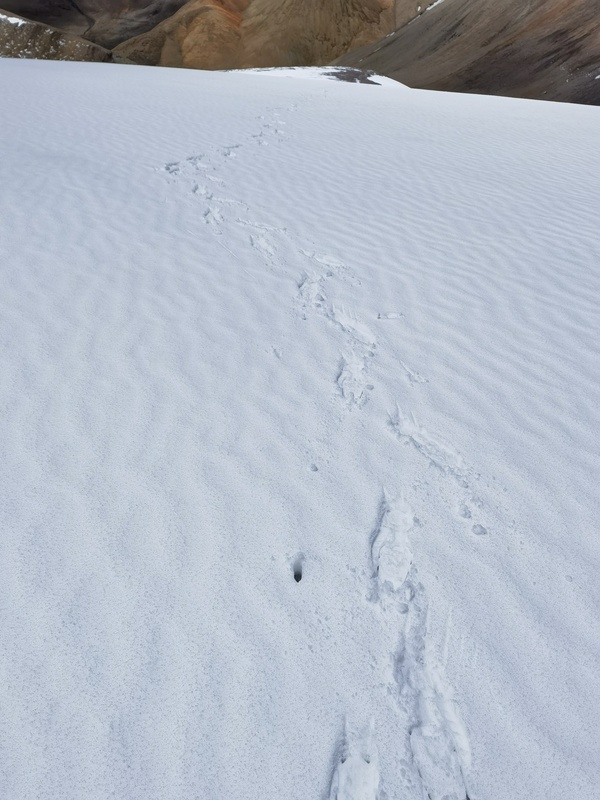
After about ten minutes on the snow slope, I reached the summit. 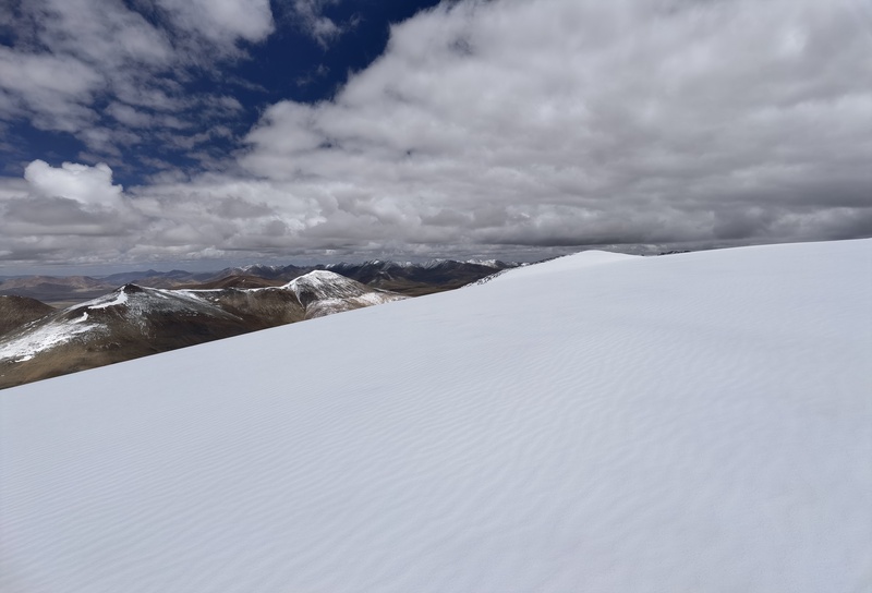
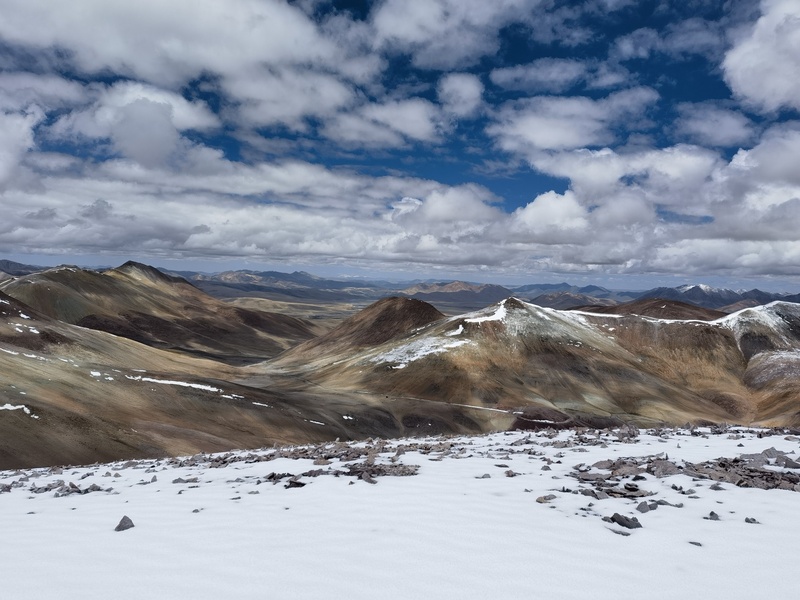
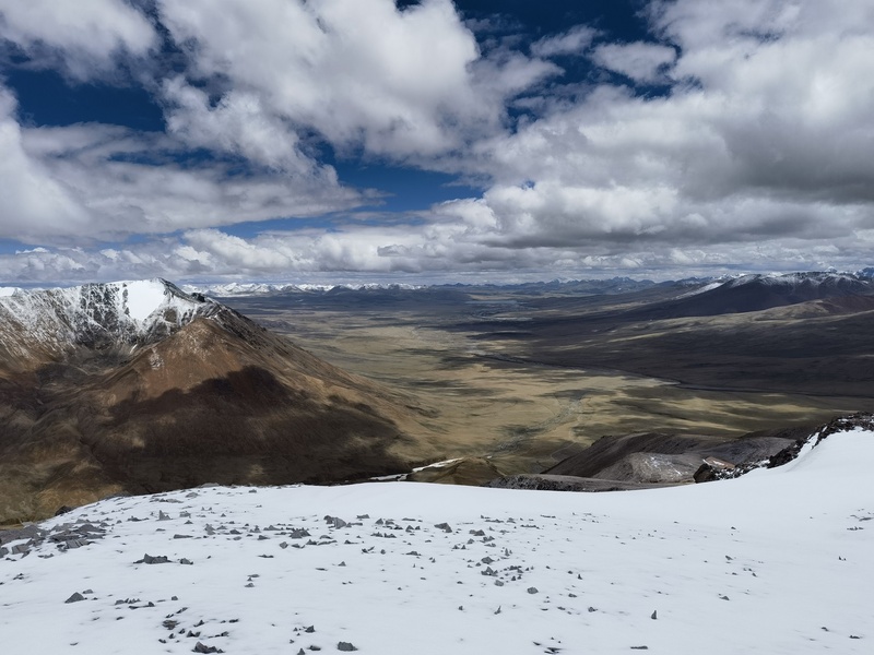
I found what appeared to be the highest point - some rocks poking through the snow. Looking down on Lajiong-la Pass below. 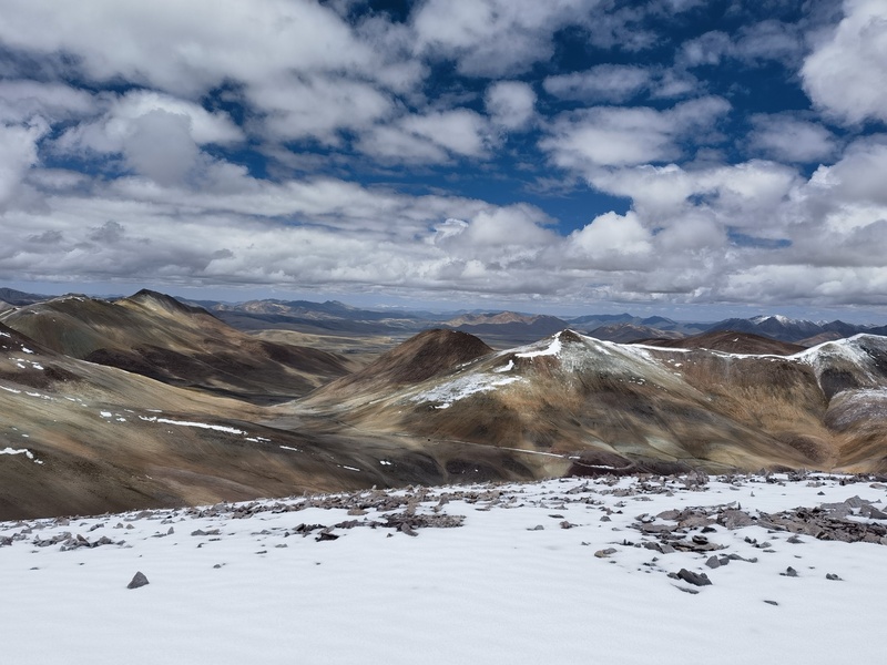
Facing west: the Gangdise Range. 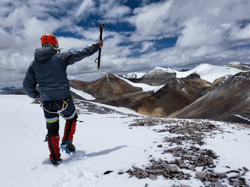
To the south 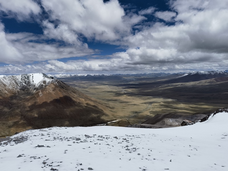
After spending some time on the summit, I descended the same way and met up with my companion. It took about 4.5 hours for the round-trip, with an elevation gain of only 342 m (1122 ft). Then we drove back the same way—enjoying another two hours of bumpy ride. Thumbnails for uploaded photos (click to open slideshow): 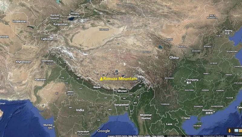
|
| Comments or Questions |
|---|
|
|
Caution: The information contained in this report may not be accurate and should not be the only resource used in preparation for your climb. Failure to have the necessary experience, physical conditioning, supplies or equipment can result in injury or death. 14ers.com and the author(s) of this report provide no warranties, either express or implied, that the information provided is accurate or reliable. By using the information provided, you agree to indemnify and hold harmless 14ers.com and the report author(s) with respect to any claims and demands against them, including any attorney fees and expenses. Please read the 14ers.com Safety and Disclaimer pages for more information.
Please respect private property: 14ers.com supports the rights of private landowners to determine how and by whom their land will be used. In Colorado, it is your responsibility to determine if land is private and to obtain the appropriate permission before entering the property.



 Download GPX file used in this map