| Report Type | Full |
| Peak(s) |
Boreas Mountain - 13,083 feet Bald Mountain - 13,703 feet Whale Peak - 13,080 feet Glacier Peak 12,853 |
| Date Posted | 06/26/2025 |
| Date Climbed | 06/20/2025 |
| Author | M_Dundee |
| Boreas Mtn, (South of) Bald Mtn , Glacier Peak, and Whale Peak for Kili Training |
|---|
|
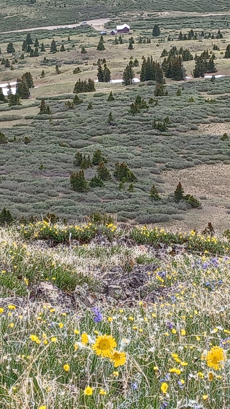
This past weekend (6/20-22) was our first chance to have extended time above timberline as we prepare to climb Mt Kilimanjaro this August. We have chosen Gladys Adventures as our tour operator partially based on the recommendation of Scott P (thanks). Our group is doing an 8-day Lemosho route, so most of our days (excluding summit day) will be at 4000m with up to 10k of hiking per day on Class 1-2 trails. To closely match those conditions, we planned this weekend to camp near timberline and hike some easier Front Range 13ers. Knowing the weather was going to be stable, though windy, all weekend we had a leisurely drive to Boreas Pass on Friday morning. Driving from Como we couldn’t find any high camp sites on the south side of the pass. The White River NF on the north side of Boreas Pass has 23 designated camp sites (numbering from the north). The highest camp sites (23, 22, 21) were already occupied. At 1.5 miles down from the divide and across the road from the clear-cut are 4 sites (20, 19, 18, 17). We set-up camp in the farthest back, 19, at 11,200 ft. 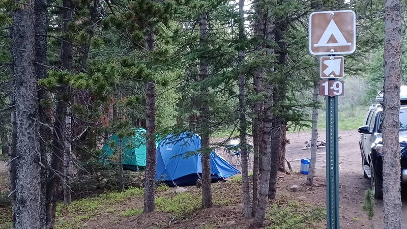
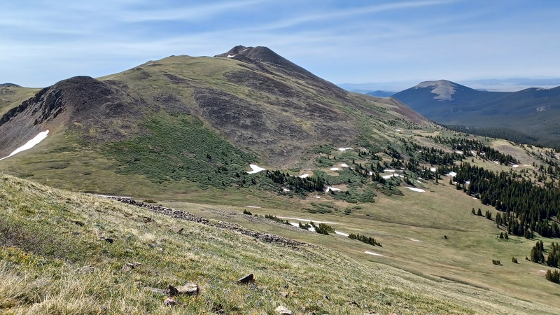
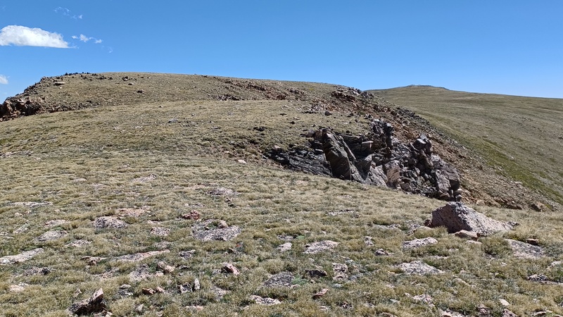
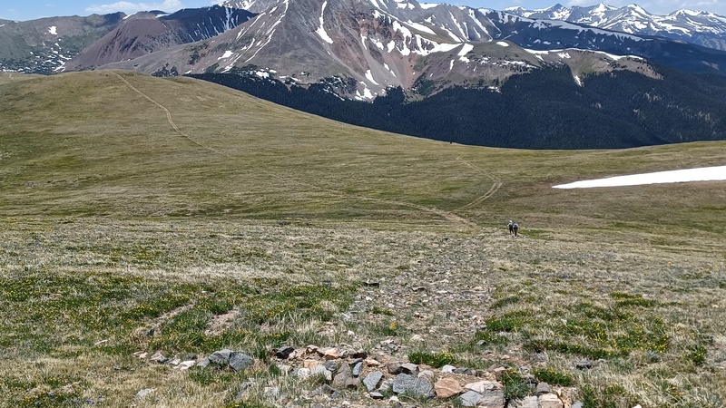
Then it was back to the pass to start our hike of Boreas Mtn. On the east/upward climb to the ridge we found occasional cairns that were located between the Divide and the GPX track of Bill Middlebrook’s West route. The cairns led us to the saddle south of Point 12,815. On our ascent we then did go over the talus hump in the West route description, but on our return found cairns that led us under this hump back to the earlier cairns coming up from below. From the dirt saddle mentioned in the route description there is now an established trail that is a routed differently than the description. This trail is in the trough along the base of the left (east) summit ridge. This was very helpful since it kept us below the wind gusts until just before the summit. The return was straightforward, following the trough summit trail to the cairns traversing down the wildflower covered slopes. 3 miles r/t and 1,590 ft ascent. 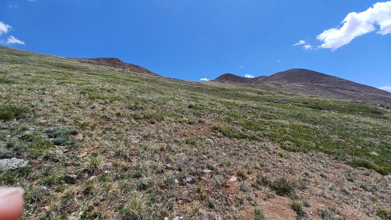
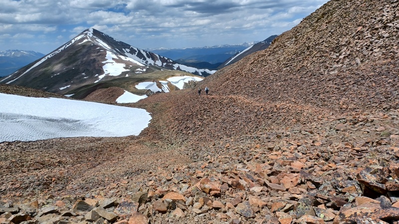
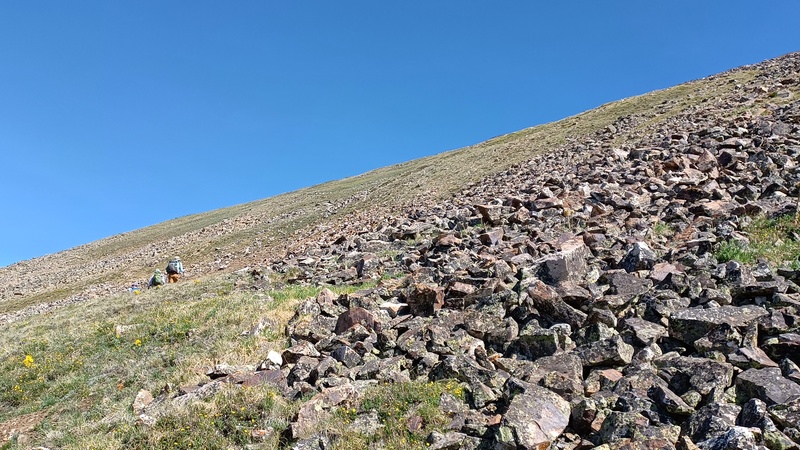
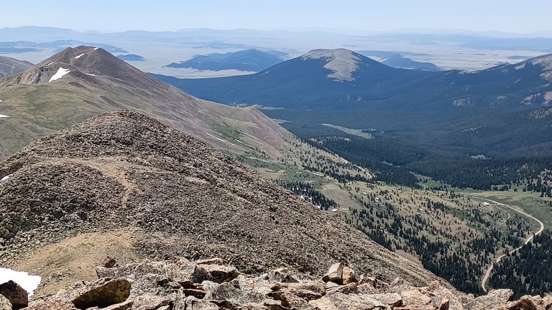
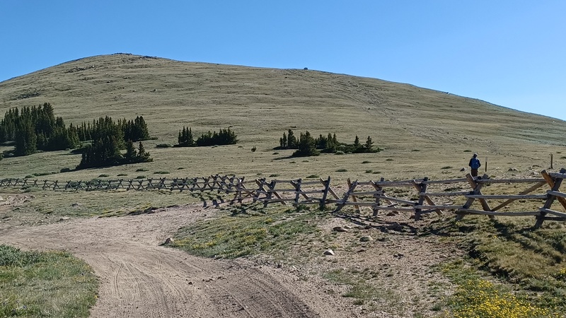
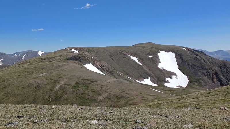
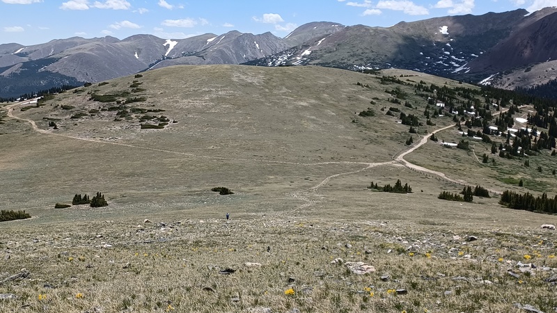
On Saturday after breaking camp, we went back to Boreas Pass to hike the Black Powder Pass trail to reach Bald Mountain’s false summits. From Boreas Pass we could see Bald’s first false summit ridge as being snow covered. Taking the suggestion of MaryinColorado’s 8/22 trip report we turned off the trail at 11,900 feet. To avoid the snow, we contoured on mostly grass covered slopes beneath the first false summit and then did an ascending traverse through wildflowers to the base of the second false summit, reaching the ridge at 13,100 feet. During this hike we found the ridge to only be snow covered on the south-facing bases of each false summit. The snow was mostly soft and boot deep. After crossing two false summits we reached Point 13,679, were the Divide turns east. Looking north we could see there was more snow coverage on the upcoming ridges. We went down to the saddle of the next false summit to appraise the snow and decided to turn back due to the high winds. We returned to Point 13,679 for lunch (South of) Bald. For our return hike we followed our route of ascent, except for contouring over to Black Powder Pass and hiking down the trail. 5 miles r/t and 2,294 ft ascent. 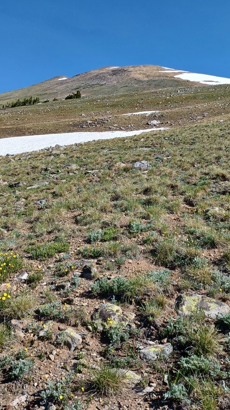

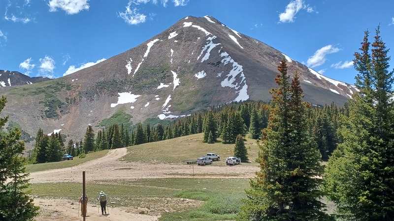
After returning to Boreas Pass, we drove over to Georgia Pass. Once entering Pike NF, the road becomes less graded with rocks to avoid. Above the steep switchbacks, for the final 2 miles the road improves and there were trailers at Georgia Pass. Taking a left on the road towards Mt Guyot a short distance there are flat areas on the right (north) side of the road. We camped in a tree protected area directly above the pass at 11,600 feet. For our hike to Glacier and Whale Peaks we wanted a high-altitude route, so on Sunday we started at Georgia Pass and walked east on the signed Glacier Ridge Road, which climbs along the north side of the Continental Divide ridge. After 0.5 miles on the 4WD road the Colorado Trail crosses, Denver to the right and Durango to the left. Also turning left at this junction is the Continental Divide Trail heading to Mexico. Going straight ahead on the road is the CDT to Canada and the direction to the peaks. After another 0.25 miles there is a long tall fence along the right-side of the road blocking vehicles from the meadow in the saddle of the Continental Divide. Along this fence there is notch where the signed CDT crosses at an old road into the meadow. 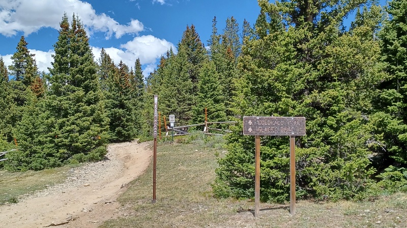
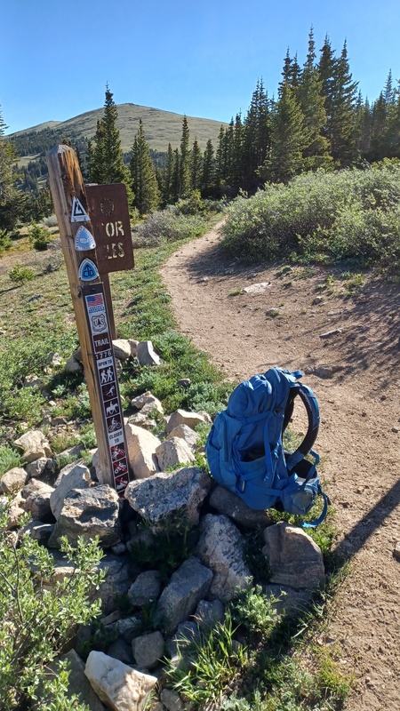

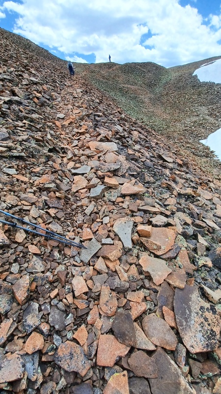
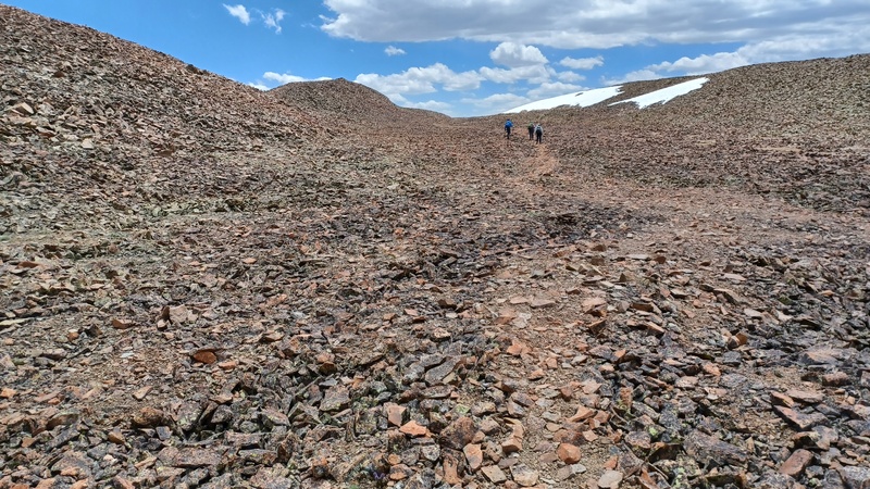
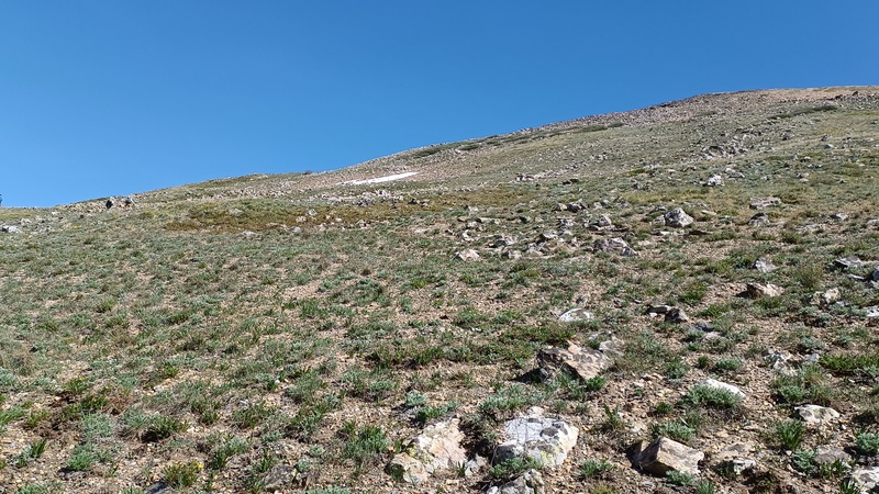
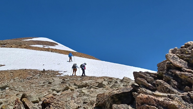
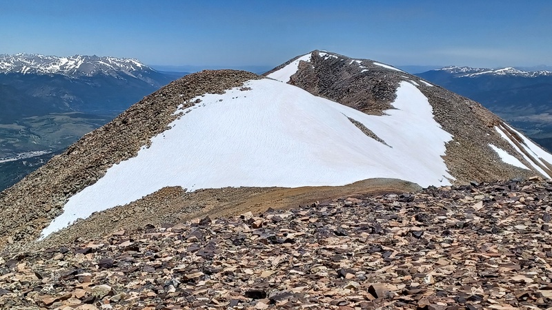
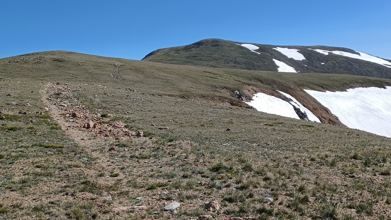
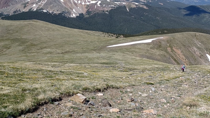
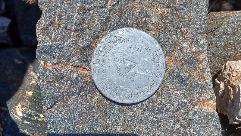
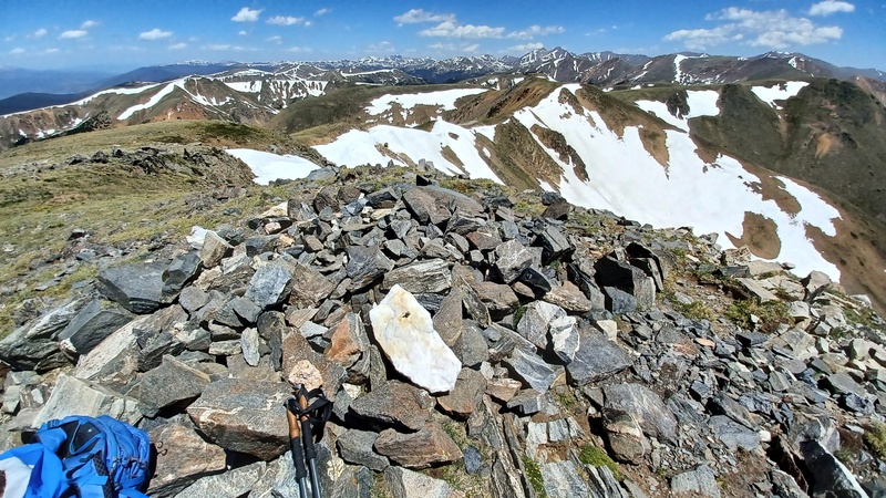
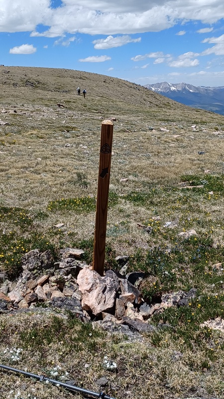
The CDT follows this old closed road all the way to Glacier Peak. There are a few trail markers, though the easiest way to know you are on the correct route is to look for the water-bars placed across the old road. The first divide ridge climb is directly after leaving the road, with Mile 1 at some vertically standing rocks. Mile 2 is near a long ascending saddle. The old road ends at about Mile 3, with Glacier Peak a slight way uphill and to the right (west) of the CDT. The peak is marked with a benchmark. From the peak the CDT continues N/NE on the Divide or diverts around some of the bumps of the Divide. There is no defined trail, except in the saddle to the east of Glacier Peak, there is just an occasional rock cairn. So, it is hikers’ choice of where you want to travel across the wildflower covered tundra, look for the CDT cairns or follow the Divide and visit all of the high point summits. At 4.5 miles one reaches Whale Peak on this Class 1 route. On the return there are two turns to look for, just before reaching Glacier Peak there is a wood post with an arrow pointing to the right which is the start of the old road and after descending off Glacier Peak go left (south) at the road junction to return to Georgia Pass. During this day we only saw one CDT thru-hiker going north. 9 miles r/t and 2262 ft ascent. 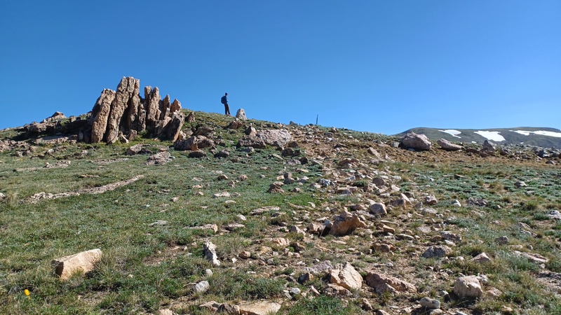
Overall, a great weekend where we had all of the summits to ourselves (we did see in the distance a few other hikers on Boreas and Bald). We got the Kili training we wanted and came up with a few tweaks needed for our hiking gear. 
Thumbnails for uploaded photos (click to open slideshow):  Climbing to saddle south of Point 12,815")
 Trail to summit in trough")
 Trough trail, Boreas on left")
 Descending trough trail")
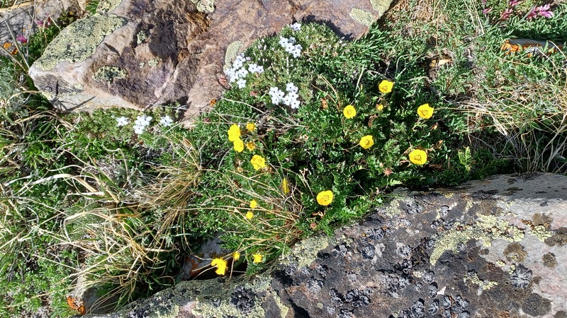
 Flowers below ridge")
 Location of cairned route")
 Campsite 19, N of Boreas Pass")
 Leaving Black Powder Pass trail at 11,900")
 Ascending traverse from 11,900 to 13,100")
 Looking back at our ascending traverse")
 Begining climb to ridge after first false summit")
 Flowers along the traverse")
 Approaching the ridge at 13,100")
 On false summit above 13,100")
 Climbing false summit to Point 13,679")
 Looking north from Point 13,679")
 Colorado Trail crossing, this is the sigh on the left (north) side")
 Approaching CDT leaving Glacier Ridge Rd")
 Notch in fence for the CDT")
 Vertical rocks near Mile 1")
 Approaching Mile 2")
 Climbing to Glacier Peak")
")
 Desending Glacier Peak, Whale Peak on right far horizon")
 Approaching Mile 4")
 Wood post at end of old road, go right on return")
 Desending Glacier Peak on return, take left road to Georgia Pass")
 Final trail descent on return, Glacier Ridge Rd is upper right")
 Glacier Ridge Rd gate at Georgia Pass. Camping on bench above vehicles")
 Gate at start of Glacier Ridge Rd")
 Whale Peak summit")
|
| Comments or Questions |
|---|
|
|
Caution: The information contained in this report may not be accurate and should not be the only resource used in preparation for your climb. Failure to have the necessary experience, physical conditioning, supplies or equipment can result in injury or death. 14ers.com and the author(s) of this report provide no warranties, either express or implied, that the information provided is accurate or reliable. By using the information provided, you agree to indemnify and hold harmless 14ers.com and the report author(s) with respect to any claims and demands against them, including any attorney fees and expenses. Please read the 14ers.com Safety and Disclaimer pages for more information.
Please respect private property: 14ers.com supports the rights of private landowners to determine how and by whom their land will be used. In Colorado, it is your responsibility to determine if land is private and to obtain the appropriate permission before entering the property.

