| Report Type | Full |
| Peak(s) |
"T 5" - 13,437 feet |
| Date Posted | 06/25/2025 |
| Date Climbed | 06/25/2025 |
| Author | WildWanderer |
| From Liberty Bell Trail - Telluride |
|---|
|
T5 – 13,437 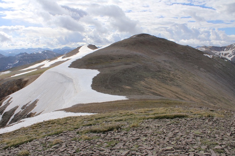
RT Length: 10.6 miles Elevation Gain: 4688’ First of all, parking in Telluride is challenging. I arrived the day before and when I got to the trailhead there weren’t any parking spaces available for any vehicles to park there at all, so I turned around and looked for a place to park in town. Nope. Nothing. There were signs everywhere stating it is illegal in Telluride to sleep in your vehicle (how can THAT be legal?), and all lots had 2am-6am “No Parking or you’ll get towed” restrictions. Street parking was limited to 2 hours unless you were a resident and had a pass. This was frustrating! I was glad I’d arrived a day early. Not sure of what to do, I called the Chamber of Commerce/Tourism and they told me I could park in the parking garage ($2 per hour, but $50 if I stayed overnight), or try the residential area off Galena and park in front of someone’s house. I couldn’t park there overnight, but it should be ok for day use. I found a dispersed campsite away from town and came back early in the morning to try Galena Street. I was able to find a spot in front of someone’s house, which I felt weird parking in, and I was on my way. With all of the crazy restrictions I hoped no one would tow my vehicle. I took Galena to Tomboy and hiked the road to the trailhead. 
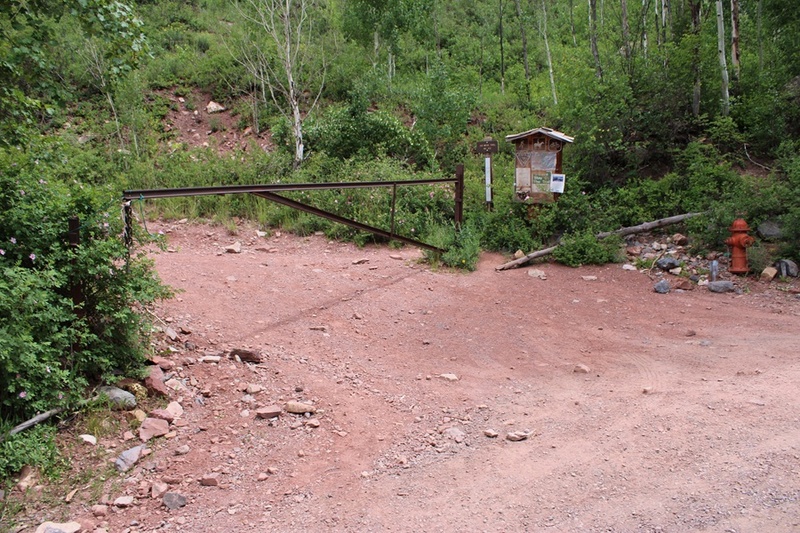
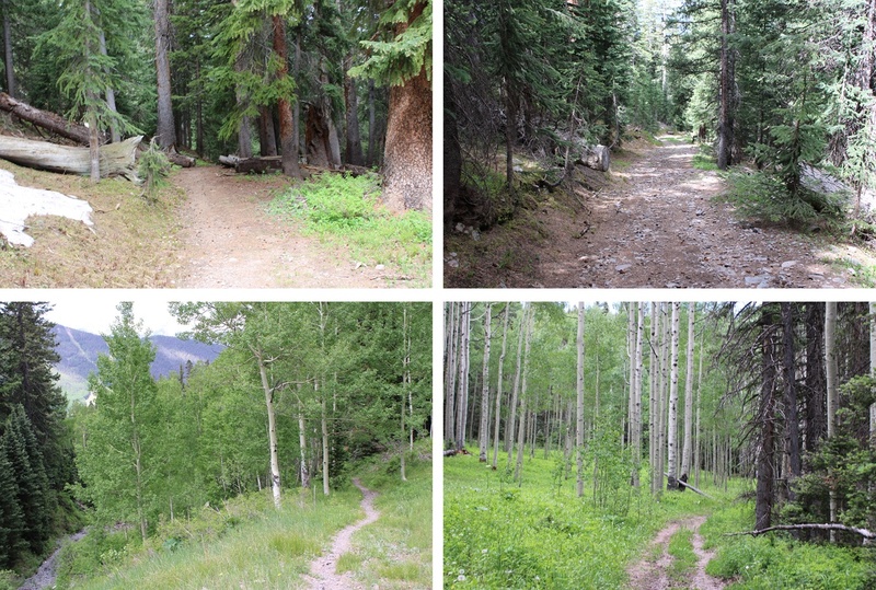
This was labeled on CalTopo as Liberty Bell Trail, but the trailhead called it the Jud Wiebe Trail. I’ve found a lot of inconsistencies with Telluride trail names. The gate was locked to vehicles so I walked under it and was on my way. The trail starts out heading northwest towards some water tanks and then continues heading northeast to treeline. The trail was very well maintained and easy to follow. The wildflowers were on point. 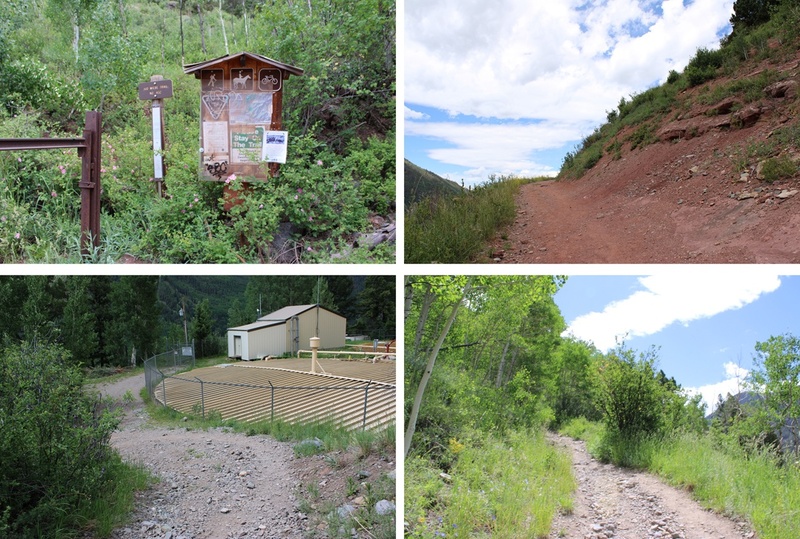
On CalTopo this trail is labeled as the Liberty Bell Trail, and it goes through Liberty Flats. Let me tell you, there was nothing flat about this trail. It kept climbing up, up, up, alternating from being a trail to being an old 4WD road. 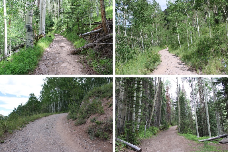
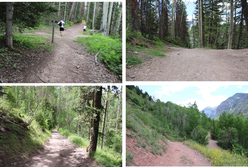
After hiking for around 1.3 miles (from where I’d started) I came to a junction for the Jud Wiebe Trail. I continued straight on the Liberty Bell Trail. 
I came to another unnamed junction, and not really knowing which way to go since it wasn’t on any of my maps I went right. This happened to be the correct choice. 
I continued following the trail past an old mine and up to treeline. 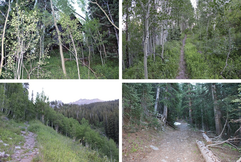
At treeline I came to a junction with the Sheridan Crosscut Trail and turned left. 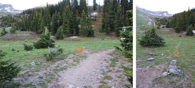
This trail was a bit fainter but still easy to follow. I headed northeast up the basin to a ridge. Here’s an overview of the route: 
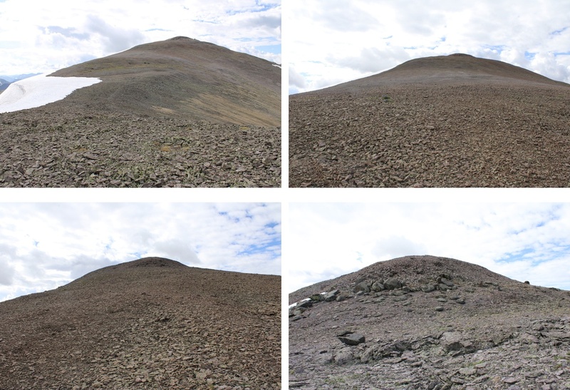
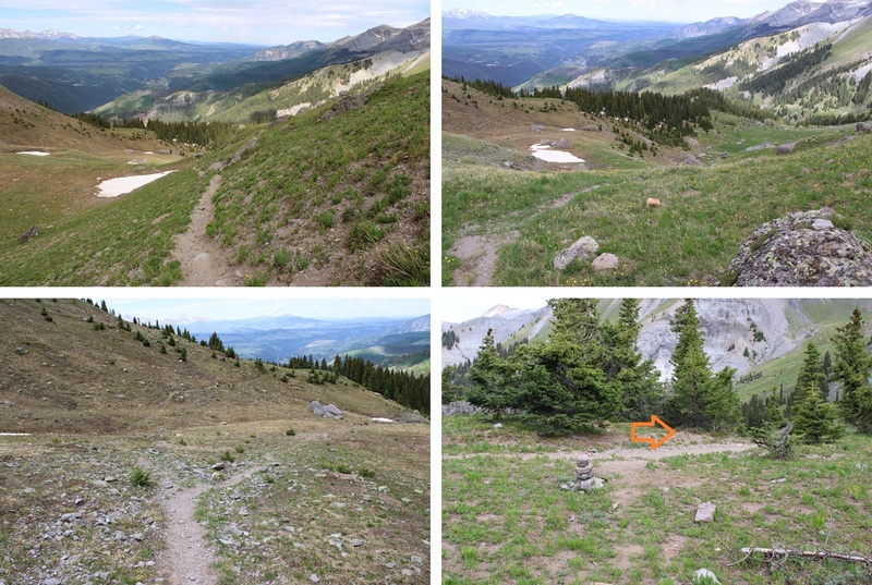
And some pictures to that ridge. Here is where I put on my microspikes and kept them on to the summit. The trail in many areas looks like it has been washed out due to rockslides/snow and some of the areas are sketchy. Unstable scree abounds. 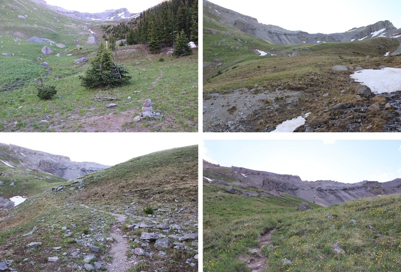
At the top of this ridge the trail turned and started heading northeast, rounding down into the basin and then gaining the ridge. 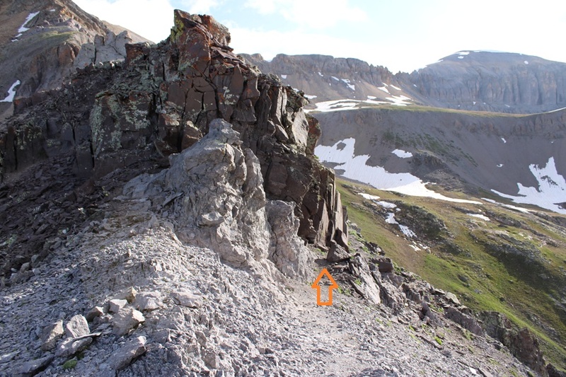
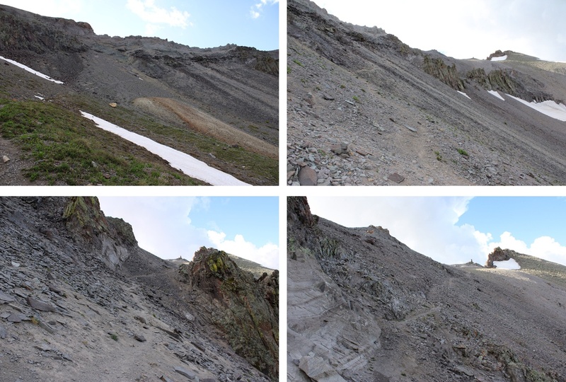
Here’s an overall picture of where you’re headed. There’s a good trail to get you to the base of a gully in the distance (but still keep an eye out for loose rocks/scree). 
And some pictures along the way to the small gully 
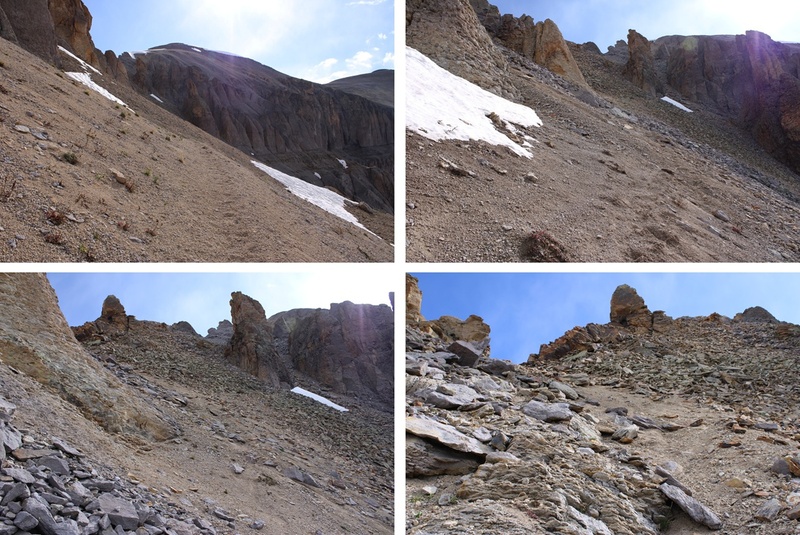
It’s obvious where to ascend the gully, as the trail stops. I turned and headed north to the ridge. The gully isn’t very long, maybe 100 feet or so of elevation gain. 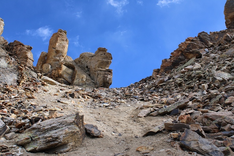
At the top of the gully is a wind break made out of rocks, and a sign that says “Krogers Canteen”. There were also beer bottles on the ground that hadn’t been opened (but were only halfway full). 
I walked through the wind break and followed the ridge east 
This is what I considered the “spiciest” part of the route. I’ve outlined the route up, but recent rockfall has made this area especially unstable. Scree-valanches will start from underneath you and rocks will fall like an hourglass from above and below. It looks like there used to be an easier way to ascend, but recent rockfall has changed the route. There are parts of what used to be a trail here. 

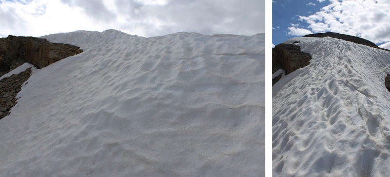
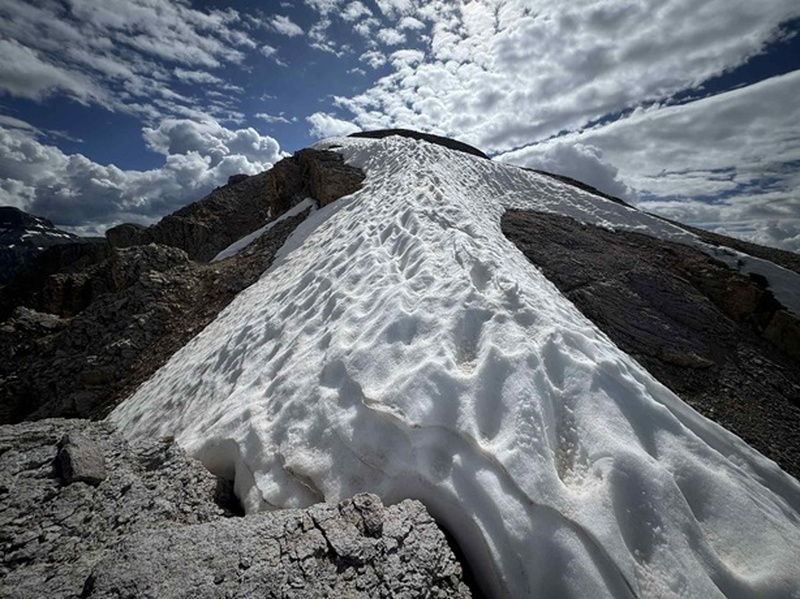
Now on the ridge I followed it east towards 13337 (false summit). There was some unavoidable snow to traverse. I went both ways around the boulder in the middle, one on the ascent, the other on the descent. Both were class 2. 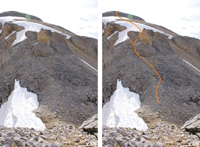
The toughest part was over, now it was a class 2 ridge hike following the ridge to the summit (after going over the false summit first). 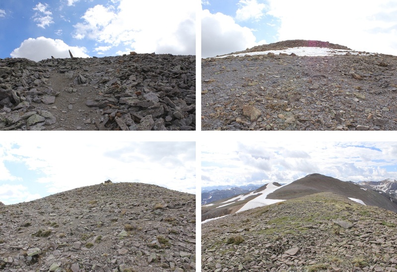
From the top of the false summit it was an easy ridge hike to the summit of T5 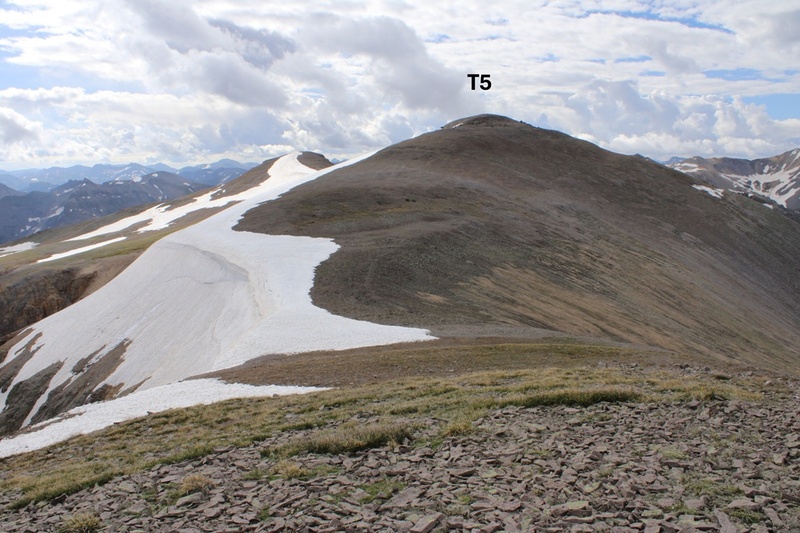
I summited T5 at 9am 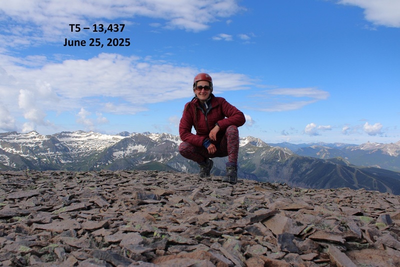
T5: Now to head back down. This was an out and back hike for me, so I turned around and headed back the way I came. 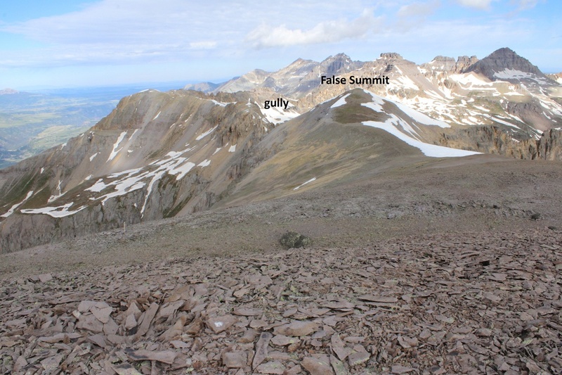
I headed back towards the false summit 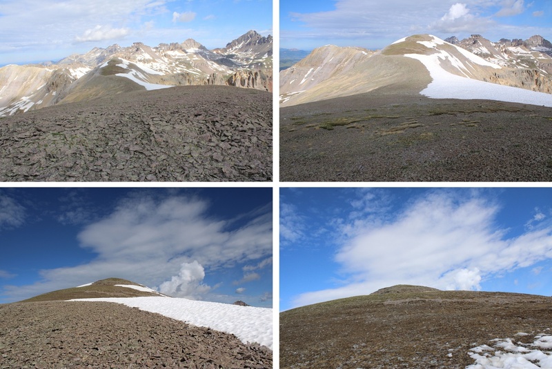
And then back down the snow to the gully 
I then carefully navigated my way back down the to the gully and back to the trail below. 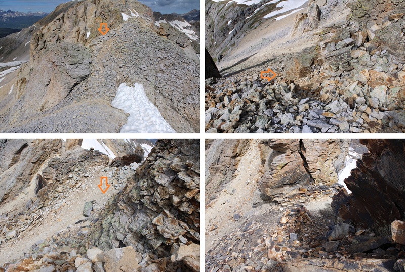
Once on the trail I followed it around 4 miles back to the trailhead. 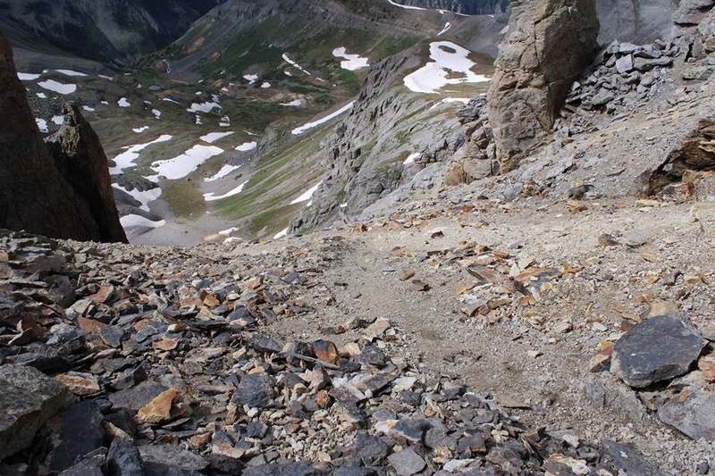

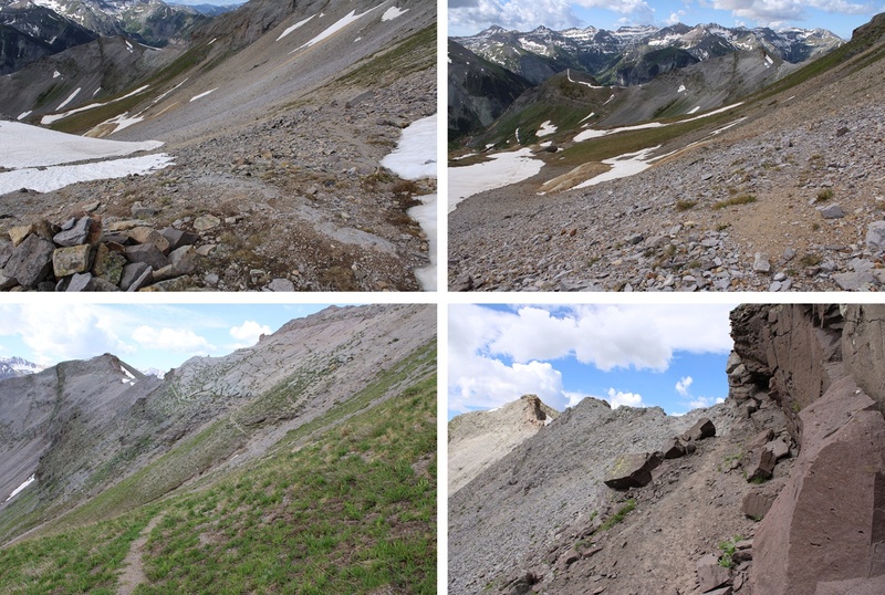
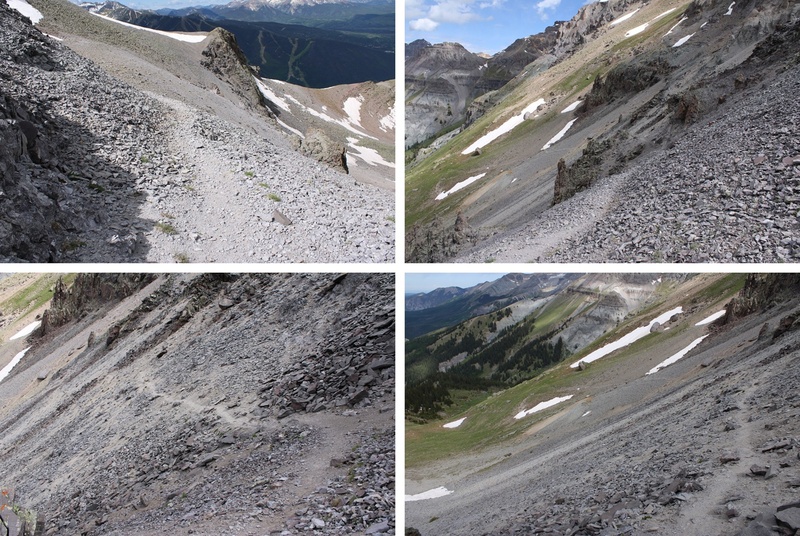

I made it back to my truck at 11:45am, making this a 10.6 mile hike with 4688’ of elevation gain in 6 hours 30 minutes. Sorry about the poor topo. Something happened with Strava halfway through my hike and it pinged back near 145, then back up to me for the descent. Gotta love technology. 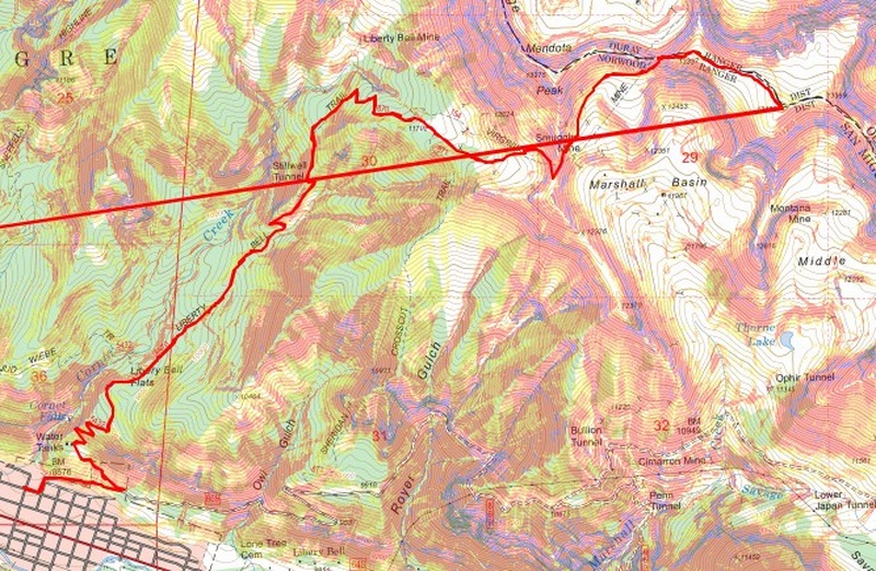
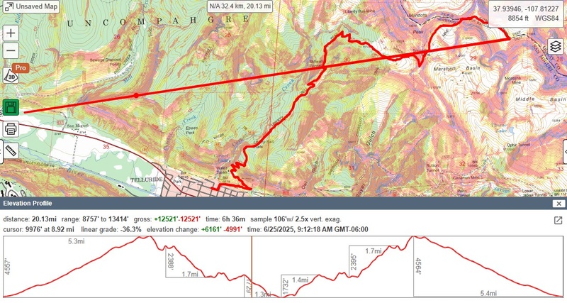
Also, I’d already attempted this peak the easier way, through Governor Basin, but there’s now a sign saying it’s a working mine and you need permission to hike through there, so I turned around and tried a different route. 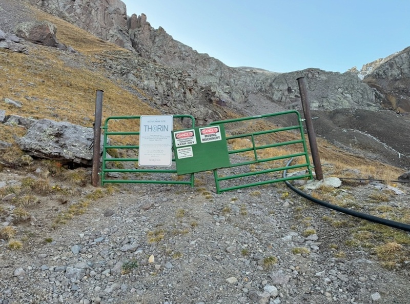
On to the next trailhead! |
| Comments or Questions | |||
|---|---|---|---|
|
Caution: The information contained in this report may not be accurate and should not be the only resource used in preparation for your climb. Failure to have the necessary experience, physical conditioning, supplies or equipment can result in injury or death. 14ers.com and the author(s) of this report provide no warranties, either express or implied, that the information provided is accurate or reliable. By using the information provided, you agree to indemnify and hold harmless 14ers.com and the report author(s) with respect to any claims and demands against them, including any attorney fees and expenses. Please read the 14ers.com Safety and Disclaimer pages for more information.
Please respect private property: 14ers.com supports the rights of private landowners to determine how and by whom their land will be used. In Colorado, it is your responsibility to determine if land is private and to obtain the appropriate permission before entering the property.
