| Report Type | Full |
| Peak(s) |
Snowdon Peak - 13,090 feet |
| Date Posted | 06/25/2025 |
| Date Climbed | 06/17/2025 |
| Author | WildWanderer |
| From Andrews Lake |
|---|
|
Snowdon Peak – 13,090 and ‘N1’ – 12,647 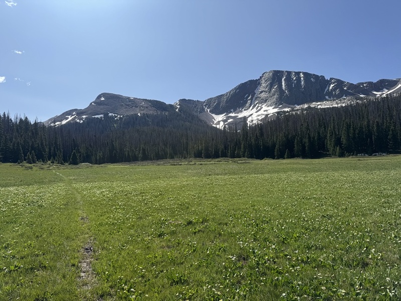
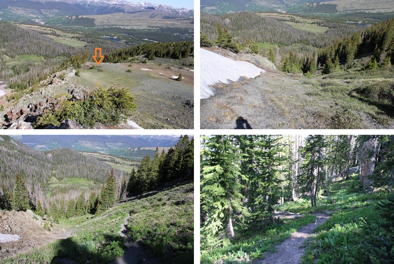
RT Length: 8.42 miles Elevation Gain: 2746’ Yep, it’s been a while. Those of you who follow me on my socials know what I’ve been up to, and I’ve been busy! I’m really excited to have a few months off to tackle more peaks (kind of… I still need to travel for work most of August. WHY is that my busiest climbing month, and my busiest work month???). Most of the 13ers I have left still need to ‘melt out’ before I can climb them, but when I heard Snowdon was all clear I drove down to Andrews Lake and had to see for myself. Andrews Lake has plenty of parking, and even an overflow lot. However, that didn’t stop it from being full when I arrived. Also, the bathrooms were dirty (and bring your own toilet paper). Last time I was here the bathrooms didn’t lock. I was pleased to see they had been fixed. 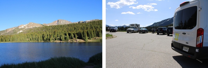
I started from Andrews Lake at 5:30am, skirting the east side of the lake to the trail. 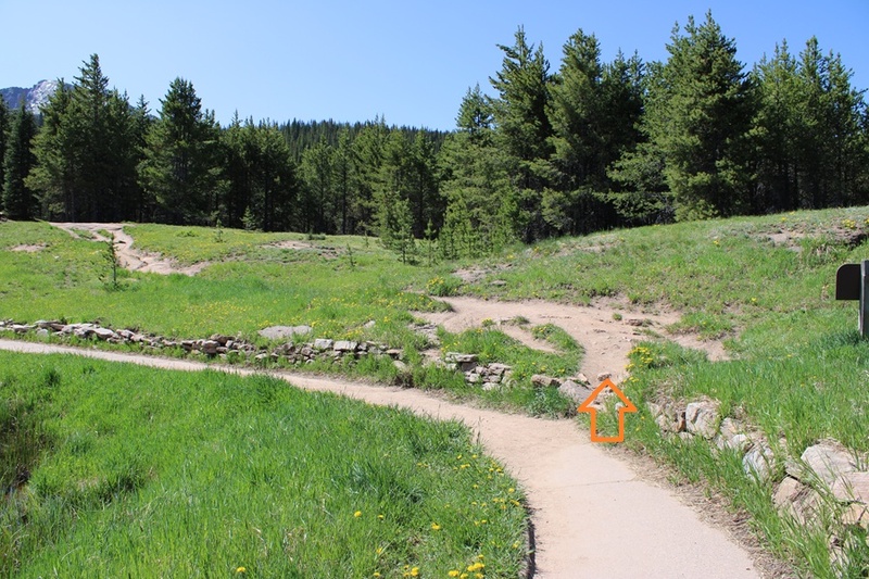
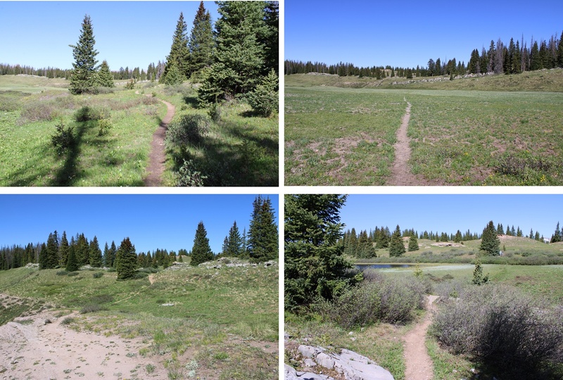
I followed this class 1 trail for about 1.3 miles to a junction with a trail register. 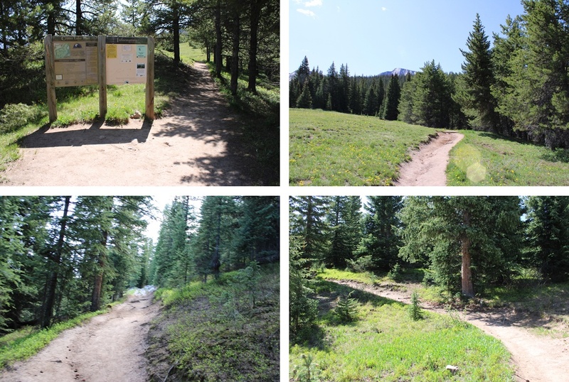
At the junction/trail register I turned left and followed an unnamed trail east/southeast. 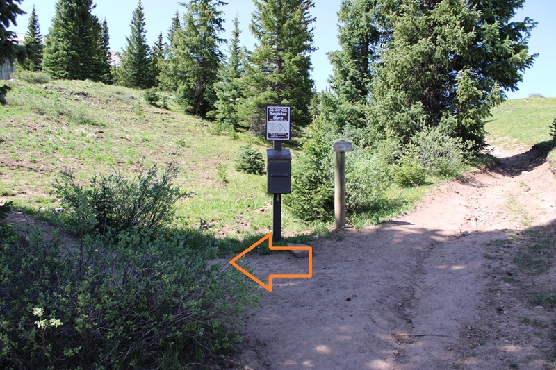
This trail was well defined in the beginning, but in the marshy areas became non-existent and I had to route find a bit. There were areas with willows, marshes, and trees. There were a few downed trees along the trail, but nothing too difficult to cross. I was headed towards this gully (there’s a good trail at the base). 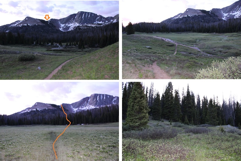
For reference, these are N1 and Snowdon 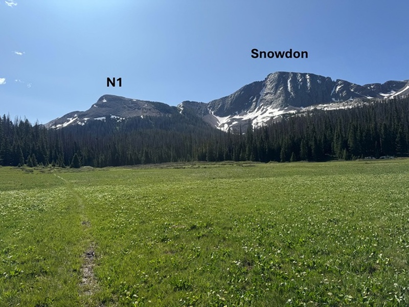
I followed the gully up a class 1, steep trail for 550’ in elevation. 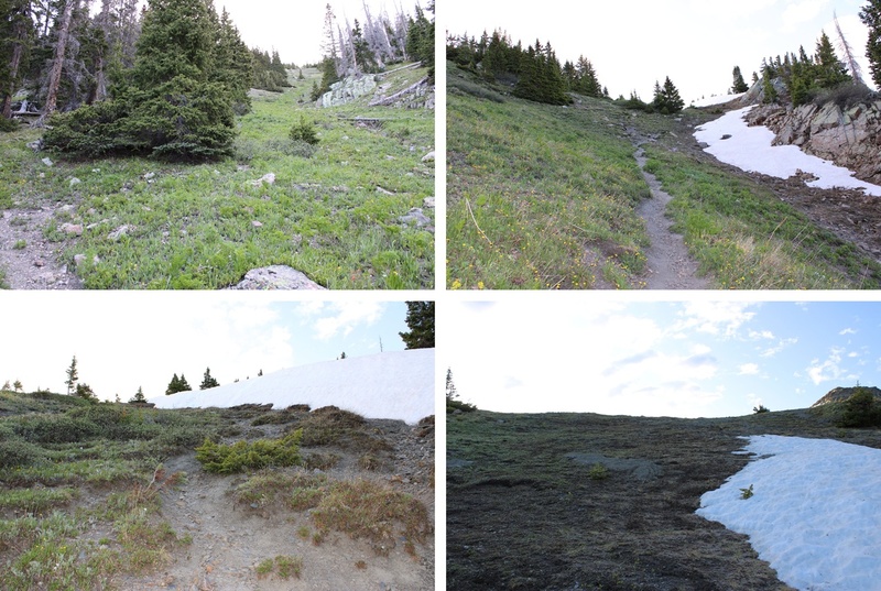
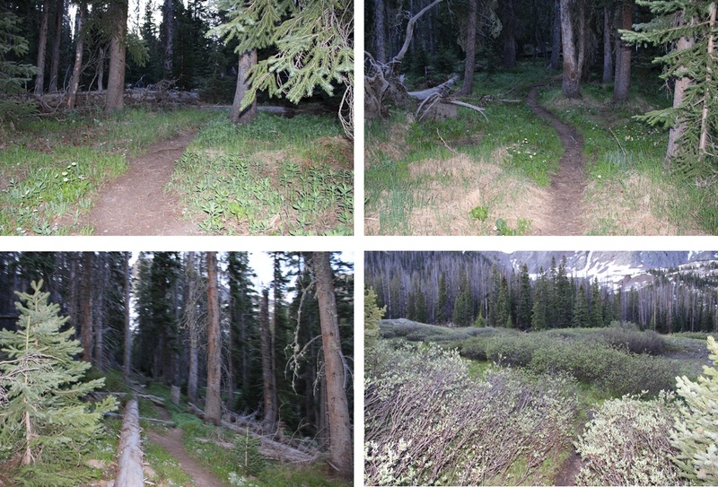
At the top of the gully the trail ended. I went left and headed northeast towards the summit of N1. This was all class 2 and the route was obvious. It felt “too easy”, almost like it shouldn’t have been ranked. 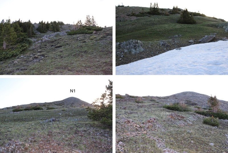
I summited ‘N1’ at 7am N1: Now for Snowdon Peak. I turned and headed southwest back to the Snowdon/N1 saddle, to the right of the ridge. 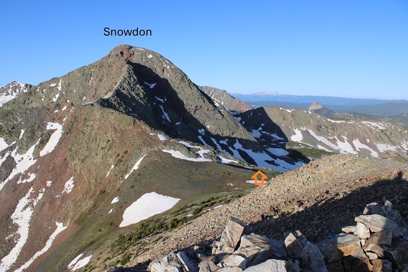
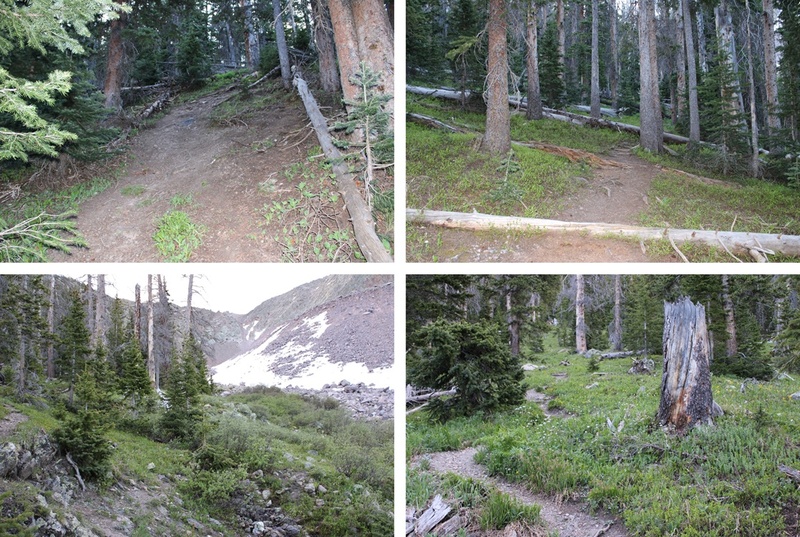
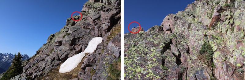
Now to head up the ridge. There are several ways to do this. On my ascent I stuck to the ridge proper, which went at class 3. On the way back down I found a faint trail that kept this area at class 2 after climbing about halfway up the ridge. Here’s a picture of that trail: 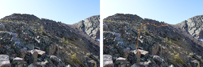
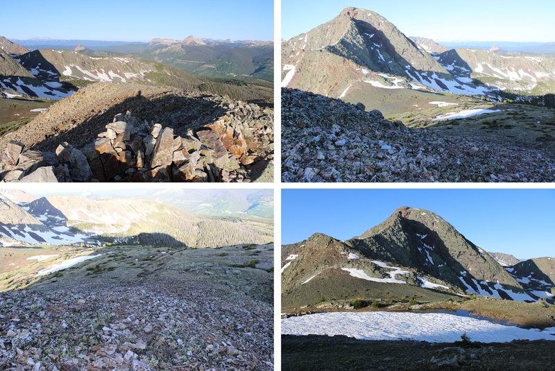
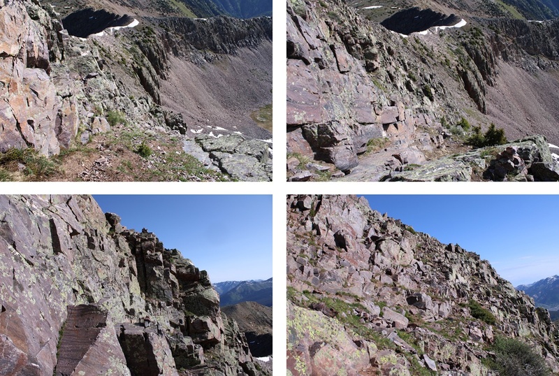
And some pictures of the ridge. I was able to take the ridge proper to the next saddle until I came across the game trail, which was much easier. 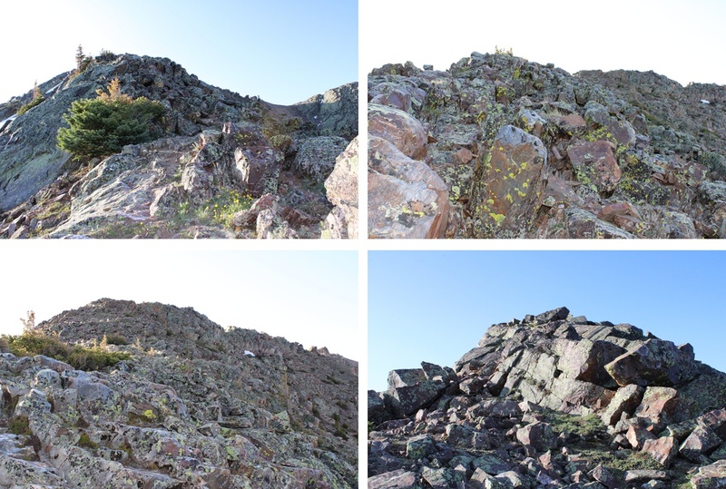
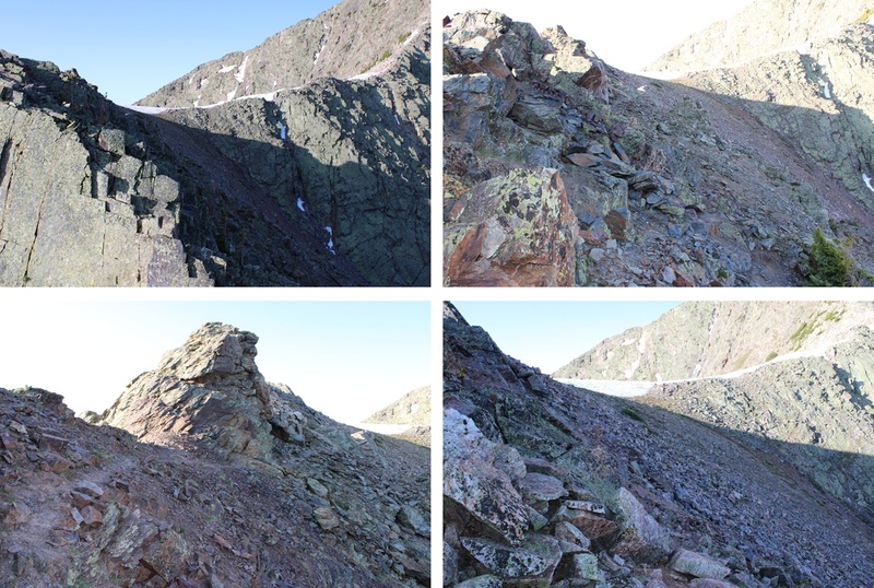
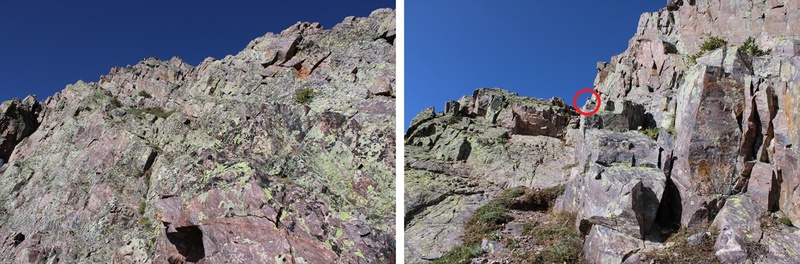
If you don’t already have your helmet on now is the time to do so. There are several routes up this ridge. I took the ridge proper at class 3 all the way to 12900’ before dipping down and south, then traversing around the east side of the mountain to get to the summit (lots of cairns to help once I dipped down). However, you don’t need to take the ridge proper to this point. If you stay to the left of the ridge there are game trails that keep you about 50 feet below the ridge on class 2 terrain most of the way. Here are the routes: 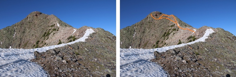
Here are some pictures of the ridge route I took to 12,900’ 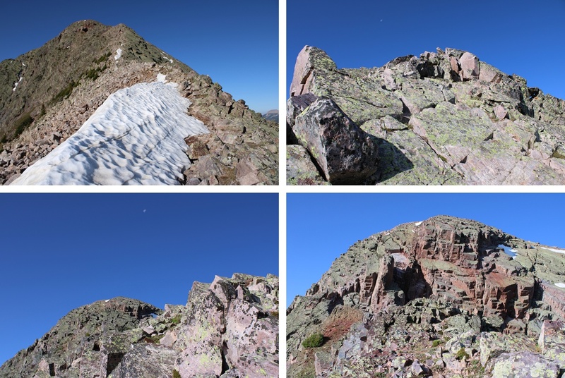
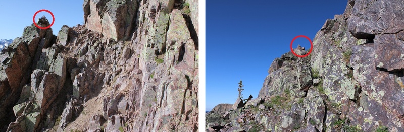
On the ridge at 12,900’ I hit a snag, and realized I needed to drop down where I saw this gully. Directly below it I saw a cairn and headed that way. Here’s a visual of where you should go when you hit this area. Head down, not up, and continue around the left side. 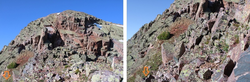
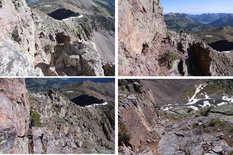
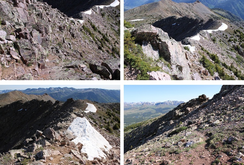
From here on out there are cairns to the summit. If you don’t see a cairn, you’re off route. I kept heading left, and every time I wanted to ascend it seemed like I had to descend as well, but there were always cairns to help lead the way. This is class 3. 
When I got to 13,010’ I saw this in front of me, and a cairn in the distance. Don’t head for that cairn. This is where you just scramble to the top from where you are. 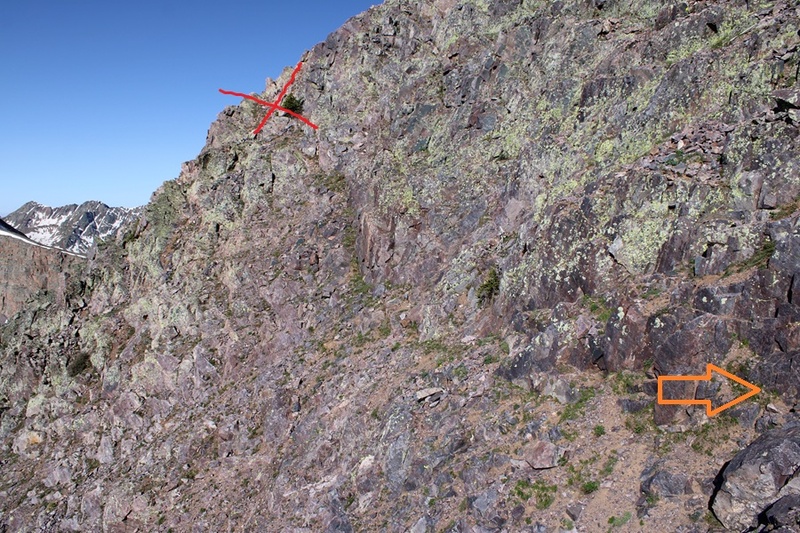
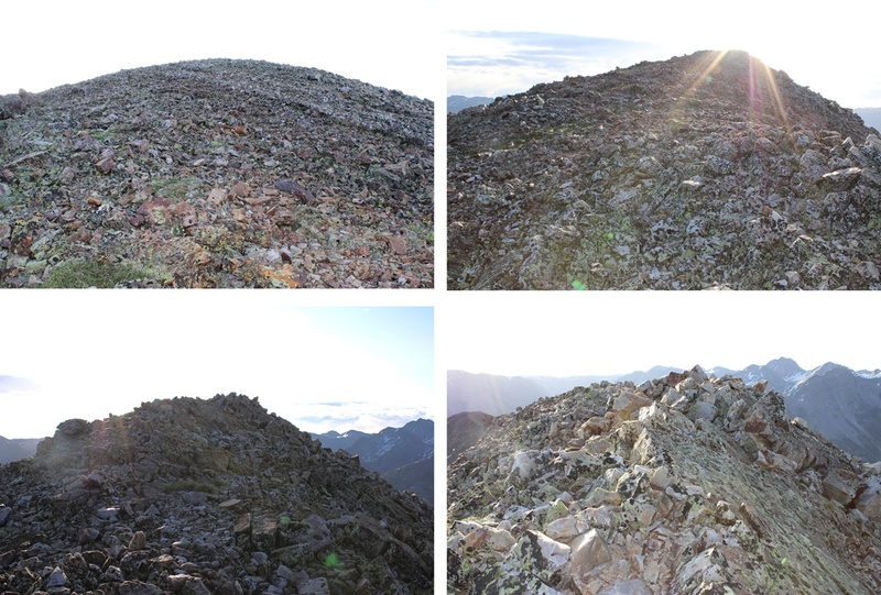
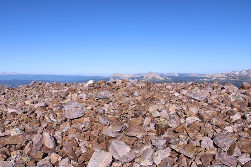
It’s a short scramble, and soon I was on the relatively flat summit 
I summited Snowdon Peak at 8:20am 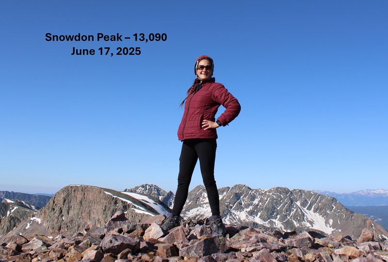
Snowdon Peak: Now to head back down. I took the same route back to the ridge following the cairns as I descended. 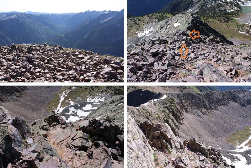
And now to follow the ridge back to the saddle. Here’s a visual of the route I took: 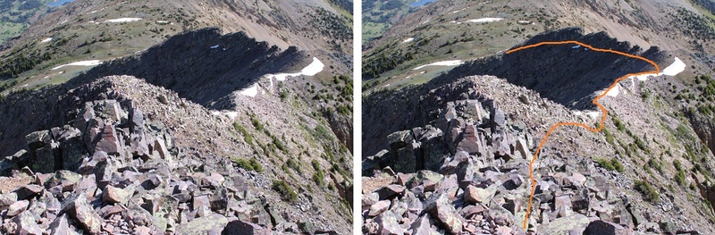
I found my access gully and headed back down to the trail. 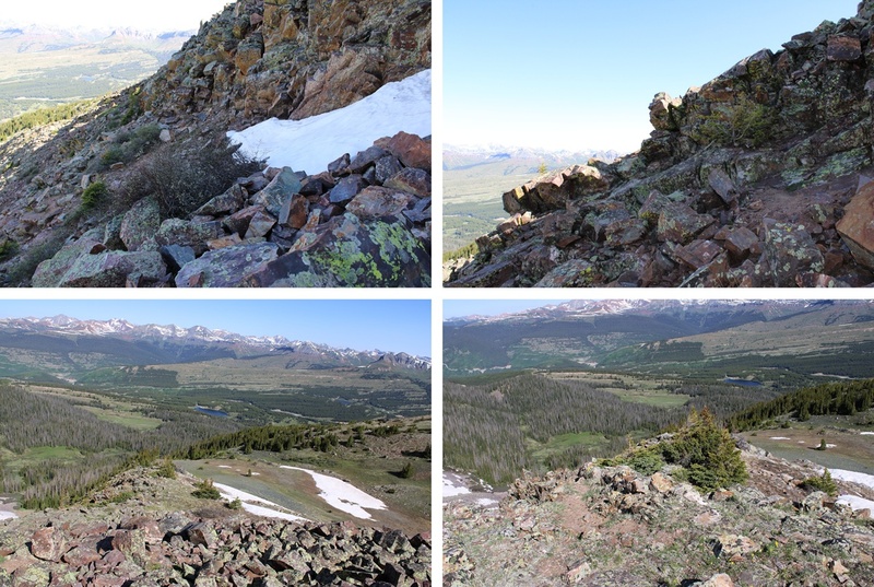
I then followed the trail back through the marshes and trees towards Andrews Lake. 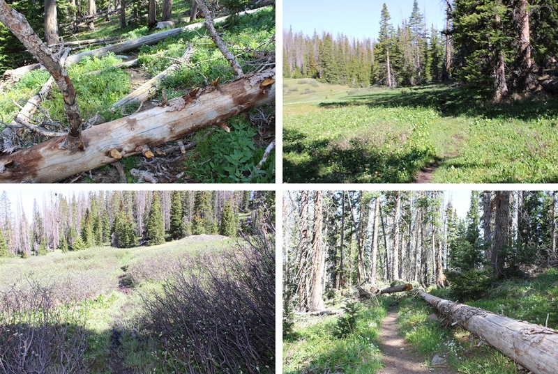
Once back on the Crater Lake Trail I followed it back to Andrews Lake. 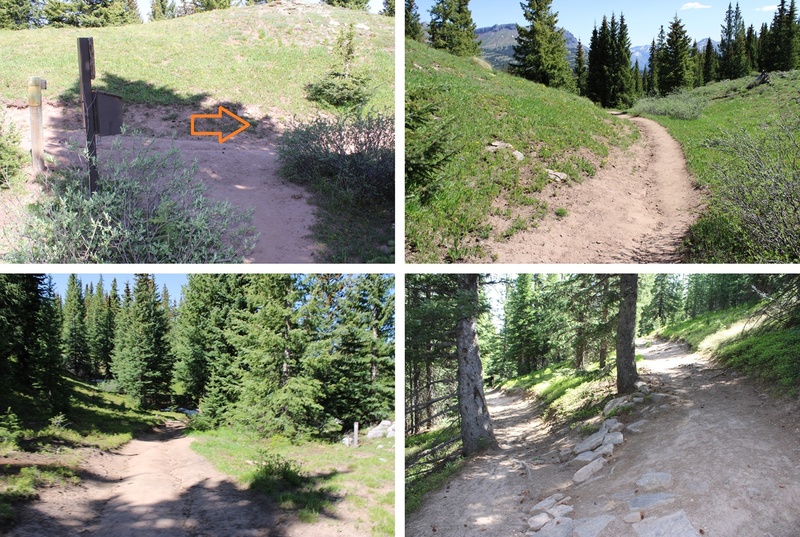

I made it back to Andrews Lake at 10:30am, making this an 8.42 mile hike with 2747’ of elevation gain in 5 hours. 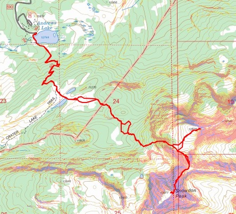
And for those of you wondering, my past few months consisted of: Getting married, buying property, Mexico, Cookie Cupboard for 2 months (I love Girl Scouts!!!), Florida, Washington DC, my son visiting from South Korea, 2 of my kids graduating College in different states during the same week (one of them Valedictorian!), Georgia for a week, South America for a month, building a ranch from the ground up (empty land, but after a few months of hard work I now have a well, a vineyard, an orchard and the animals have corrals). Raising yaks and alpacas (all the females are pregnant), a nasty tick bite that left me out of the sun for a month but gave me time to do a couple of dozen podcasts, teaching Wilderness First Responder courses and several outdoor survival skill classes to multiple groups and speaking at Colorado State Parks about safety outdoors. Oh, and last week we got a puppy, so it’s been a little busy around here! On to the next trailhead! Thumbnails for uploaded photos (click to open slideshow): ")
")
")
")
")
")
")
")
")
")
")
")
")
")
")
")
")
")
")
")
")
")
")
")
")
")
")
")
")
")
")
")
")
")
")
")
")
")
")
")
|
| Comments or Questions |
|---|
|
|
Caution: The information contained in this report may not be accurate and should not be the only resource used in preparation for your climb. Failure to have the necessary experience, physical conditioning, supplies or equipment can result in injury or death. 14ers.com and the author(s) of this report provide no warranties, either express or implied, that the information provided is accurate or reliable. By using the information provided, you agree to indemnify and hold harmless 14ers.com and the report author(s) with respect to any claims and demands against them, including any attorney fees and expenses. Please read the 14ers.com Safety and Disclaimer pages for more information.
Please respect private property: 14ers.com supports the rights of private landowners to determine how and by whom their land will be used. In Colorado, it is your responsibility to determine if land is private and to obtain the appropriate permission before entering the property.

