Download Agreement, Release, and Acknowledgement of Risk:
You (the person requesting this file download) fully understand mountain climbing ("Activity") involves risks and dangers of serious bodily injury, including permanent disability, paralysis, and death ("Risks") and you fully accept and assume all such risks and all responsibility for losses, costs, and damages you incur as a result of your participation in this Activity.
You acknowledge that information in the file you have chosen to download may not be accurate and may contain errors. You agree to assume all risks when using this information and agree to release and discharge 14ers.com, 14ers Inc. and the author(s) of such information (collectively, the "Released Parties").
You hereby discharge the Released Parties from all damages, actions, claims and liabilities of any nature, specifically including, but not limited to, damages, actions, claims and liabilities arising from or related to the negligence of the Released Parties. You further agree to indemnify, hold harmless and defend 14ers.com, 14ers Inc. and each of the other Released Parties from and against any loss, damage, liability and expense, including costs and attorney fees, incurred by 14ers.com, 14ers Inc. or any of the other Released Parties as a result of you using information provided on the 14ers.com or 14ers Inc. websites.
You have read this agreement, fully understand its terms and intend it to be a complete and unconditional release of all liability to the greatest extent allowed by law and agree that if any portion of this agreement is held to be invalid the balance, notwithstanding, shall continue in full force and effect.
By clicking "OK" you agree to these terms. If you DO NOT agree, click "Cancel"...
Quandary Peak was my second 14er ski descent this year. After doing the East Ridge of Mt. Elbert a few weeks prior, I learned that the East Ridge of Quandary Peak was also a good safe ski descent so on April 7, I decided to check it out. Since I was without a partner, I decided that I would descend the route I ascended. Conditions were forecast to be perfect all day again, albeit a little warm; no problem, I would avoid southern aspects that day.
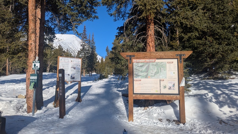
The winter trailhead
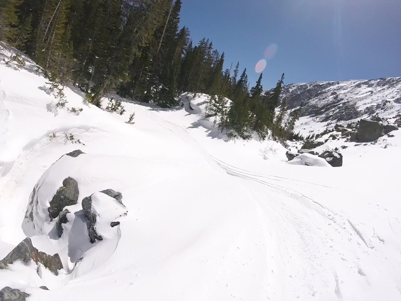
The Quandary Peak Trail. Just stay the summer trail all the way!
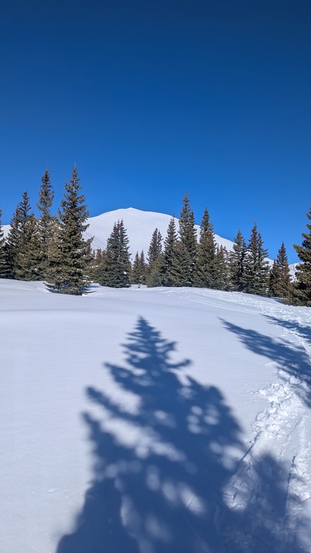
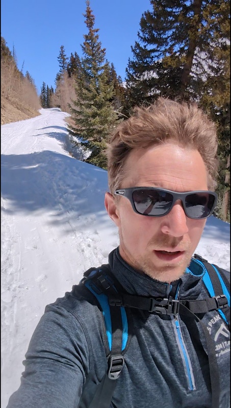
I parked at the winter trailhead parking which is very close to the summer trailhead right off the highway. I put the skins on right away and was able to keep them on all the way to the summit; though there were a few bare spots on the trail I probably should have hiked through instead of trying to circumnavigate. I was feeling in pretty good shape by this point in the season and passed a few other hikers and skiers enroute to the summit. It was steep skinning for the final mile but I still managed to go straight up with heel risers and no switchbacking. The summit looks awesome in winter--totally snow-covered all the way. I hung around for a little while getting my picture taken from a descending hiker.
Headed up the East Face. Skinned the whole way up
One of the coolest summits I've seen
Conditions were perfect. I checked the avalanche forecast again. Upper elevations were at a level 1 for all but southern aspects. The Northeast facing Quandary Couloir would be in prime shape. I had grown up skiing and felt comfortable enough on steep terrain. I had my Inreach tracking. Was it wise to attempt this thing alone even in such good conditions?
As I skied off the summit down the East Ridge vacillating on this decision, I ran into one of the ski parties I had passed. After striking up a conversation with them, it sounded like one of them was keen on the idea of skiing the couloir. I wondered if it was actually safer partnering up with someone whose ski experience I knew nothing about. Could be more of a liability. I wasn't in the mood to be attempting any rescues. But he seemed legit, so I took the gamble and committed to skiing it with him. I would wait on the ridge for him to summit and return.
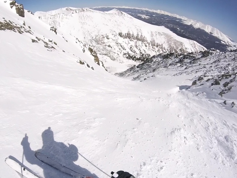
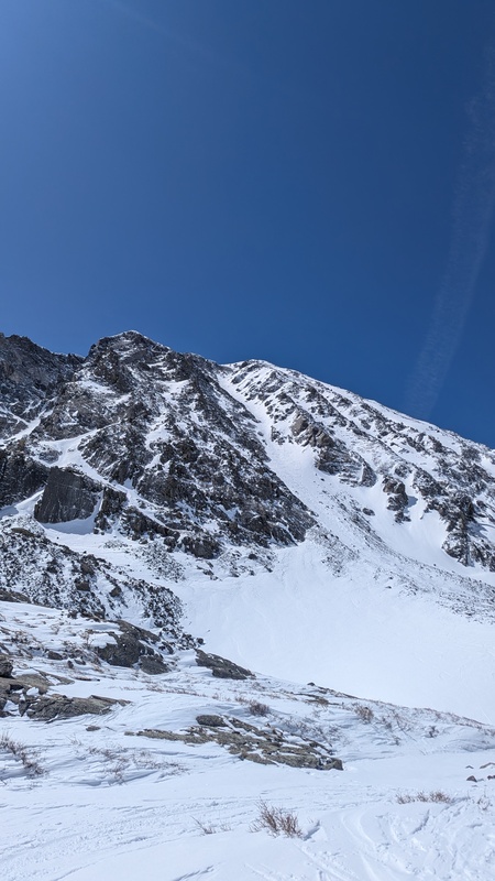
Thankfully, he proved to highly capable for the challenge, though this would be his first couloir experience as well. My Gaia GPS app was critical in finding the correct entry point to the Quandary Couloir, especially since I had not climbed what I was about to ski. Had I gone with my instincts alone, I would have ended up at one of the lower entry points which all turn into some steep and scary-looking terraing. In retrospect, I don't think it's the safest decision to ski what you haven't first scoped out on the climb up. But I got away with it that day, and as predicted, the snow conditions in the couloir were perfect; cohesive but still soft.
upper couloir. cohesive, powdery, steep, so good.
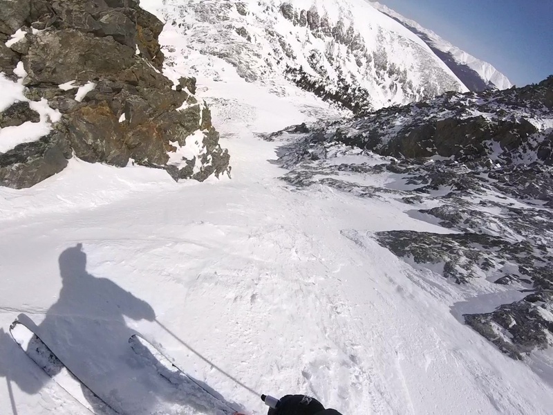
Safety concerns aside, this was a spectacular and worthy adventure, and I was tremendously satisfied to have accomplished such an amazing descent and for my ability/comfort level, it felt just right. This couloir descends 3,000' of straightforward skiing around 40ish degrees with a crux toward the end that chokes down to about 20' across and steepens ever so slightly. A couple side slips and jump turns and I was through.
entering the crux
3000' of bliss
Don't do what I did and follow tracks into the woods. Rather, stay the creek to the right. You'll be joining up with it again real soon anyway.
McCullough Gulch Road headed back to the car
The rest of the descent was just another lovely creek exploration through McCullough Gulch. Just stay the creek until it intercepts Mcullough Gulch Road (CR 851). This road led me conveniently right back to the Quandary Peak Trail and my car through some rather flat and undulating terrain, though I never had to put the skins back on.
Thumbnails for uploaded photos (click to open slideshow):
Comments or Questions
Caution: The information contained in this report may not be accurate and should not be the only resource used in preparation for your climb. Failure to have the necessary experience, physical conditioning, supplies or equipment can result in injury or death. 14ers.com and the author(s) of this report provide no warranties, either express or implied, that the information provided is accurate or reliable. By using the information provided, you agree to indemnify and hold harmless 14ers.com and the report author(s) with respect to any claims and demands against them, including any attorney fees and expenses. Please read the 14ers.com Safety and Disclaimer pages for more information.
Copyright: Route information, text, risk factors, maps, GPX files, charts, photos, 14ers.com-created map imagery, flythroughs, and other content provided in this route description are copyrighted by 14ers.com and may not be copied, reproduced, republished, distributed, modified, or used to create derivative works without prior written permission.
Please respect private property: 14ers.com supports the rights of private landowners to determine how and by whom their land will be used. In Colorado, it is your responsibility to determine if land is private and to obtain the appropriate permission before entering the property.