Youtube Video of the Adventure
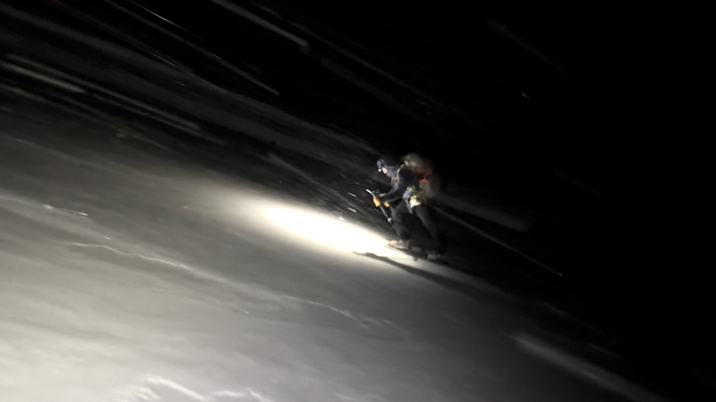
On May 20th, 2025 Oscar and I set off on my yearly pilgrimage into the Holy Cross wilderness... this time with a Notch/Halo Ridge variation with hopes of deploying the remote camera. High winds blew that plan, but Oscar got a fantastic shot of me skiing the couloir... although my legs might have been too shot to properly take advantage. The tigiwon road is closed until mid June so one will need either bikes or e-bikes (I don't know if dirt bikes would be allowed but we've certainlly contemplated it).
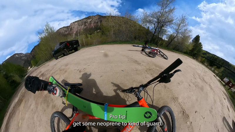
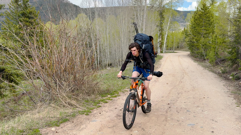
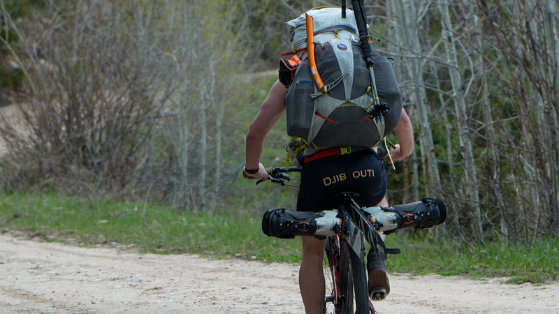
We started biking at ~3:45 PM on May 20th and were able to bike until mile 6.5 without issue, afterwhich we switched to skining/hiking.
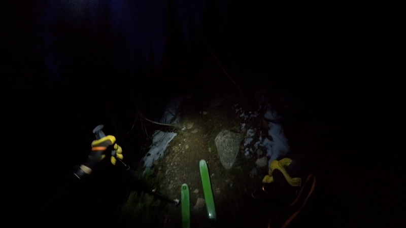
At mile ~8.2 we hit the trailhead after 3.5hours. We had originally wanted to do the standard halfmoon trail to the saddle and then complete the notch traverse but we were about 4 hours behind schedule and didn't want to experience the traverse for the first time in the dark with heavy packs. Instead we changed plans and went up fall river trail, which added some milage. We only had to take our skis off once but we did do a fair bit of dirt skiing.
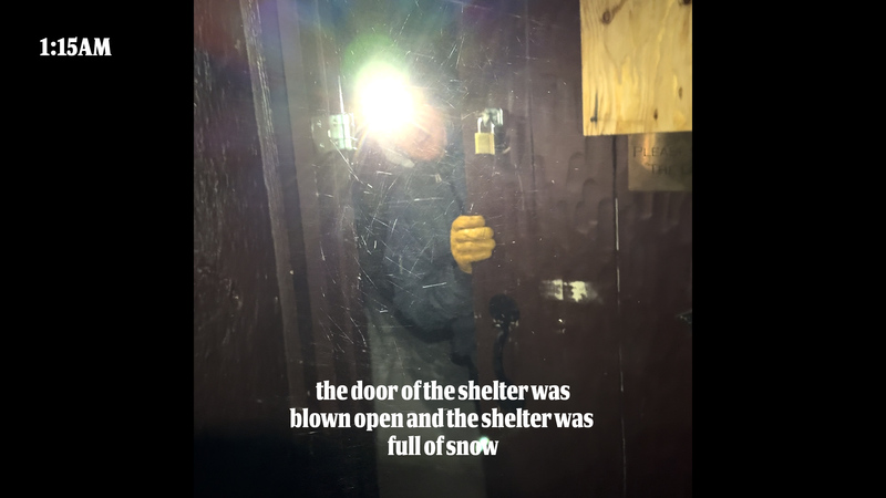
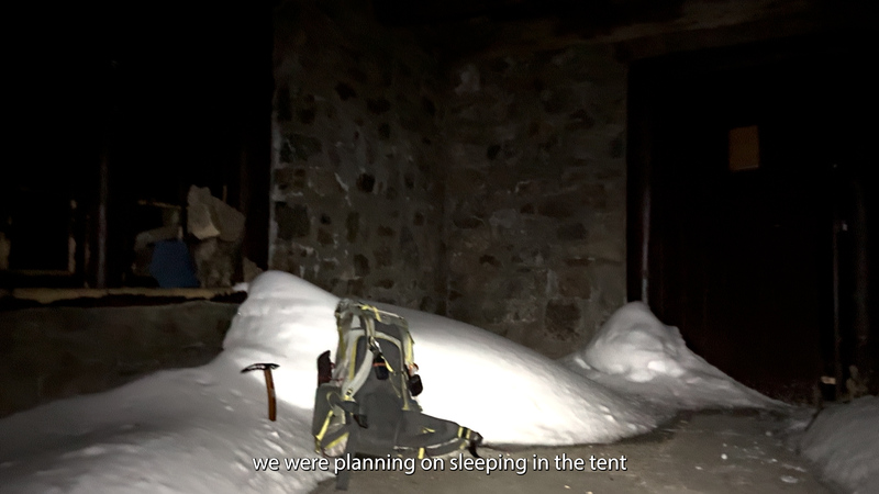
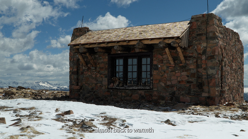
Above treeline the weather turned nasty. Weather forecasts/windy live conditions(we still had service) were predicting a managable 4mph winds with 20mph gusts. It was much worse than that. We had expected the shelter to be locked and brought a tent to sleep in but the door was blown open and given the weather we opted to take advantage. I don't think the forest service wants people sleeping there but given the wind and that the shelter was full of snow anyways, we didn't think we were doing any harm. We got to the shelter at 1:15am.
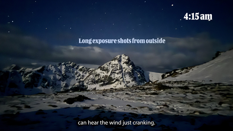
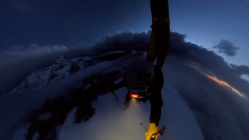
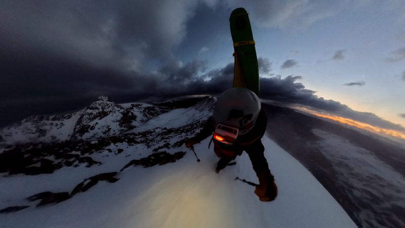
Oscar volunteered to sleep in a the shelter and film my descent, as it was too windy for my remote camera setup. I left the shelter at 5:00am after beign kept up all night by the mice running around and nawing at the food bags. It was a pretty spooky/incredibly windy sunrise.
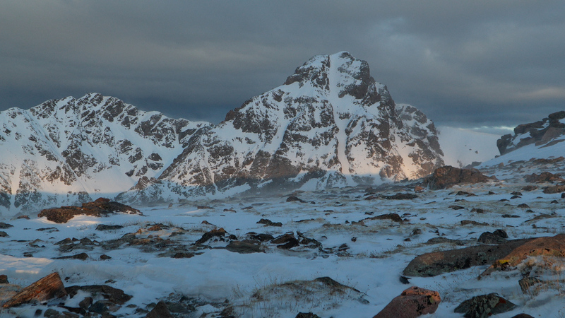
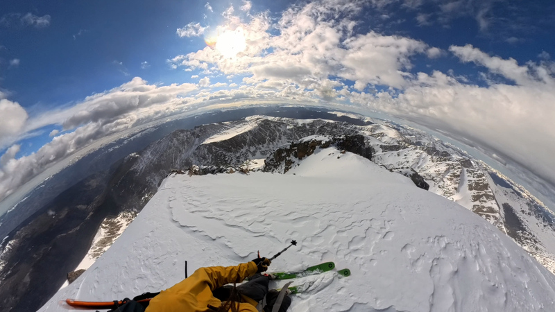
I made my way across the ridge, I didn't use crampons or ice axe at any point but there were some points where you would maybe want them if it was icy. I havent done this in the summer but the talus wasn't too bad because of the snow and the route guide on the .com is excellent.
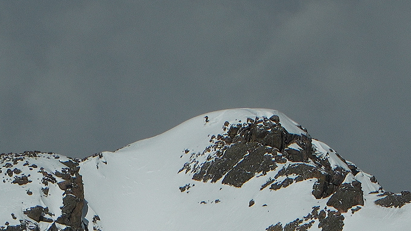
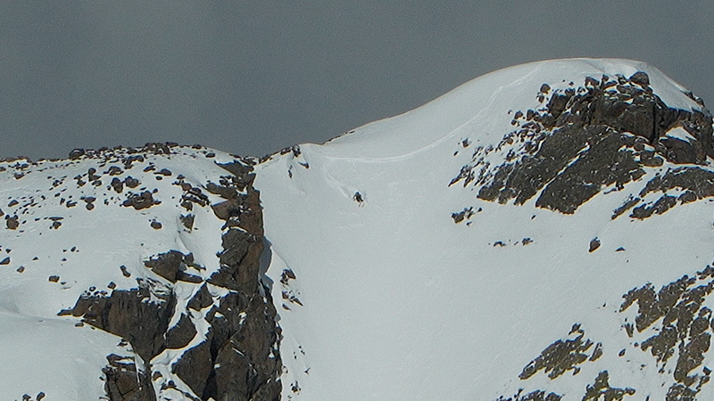
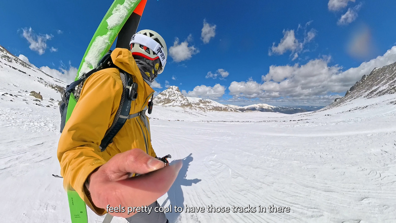
I radioed Oscar when I was on the summit and set up the camera, still super windy. He got some great shots of my descent.

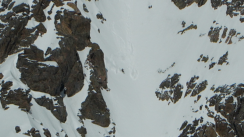
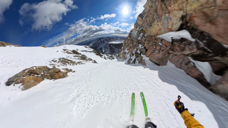
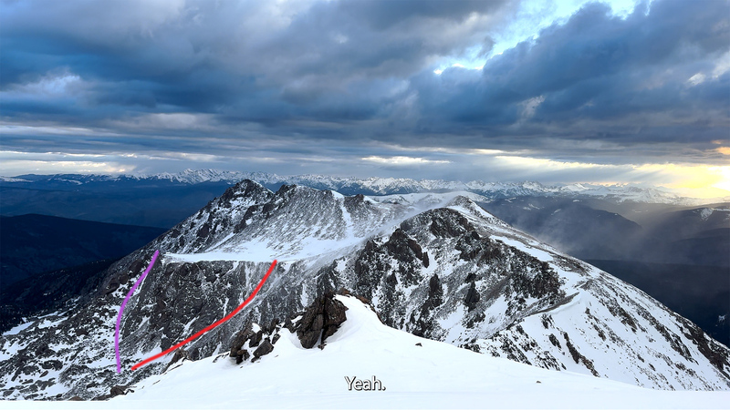
After the descent I skied across the bowl of tears and booted back up the shelter. It was only 1,200 vert but it took me nearly two hours. I had plenty of food but we hadnt had a water source since the trailhead and I was rationing to the point of dehydration. We had passed a creek on the fall river trail but we had left our filter at the trailhead to save weight. I marked my exit in red, I have also heard that the purple route works but I wasn't sure. I put on crampons but was able to do the climb without ice tools althought there was a small somewhat hairy final crux.
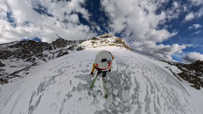

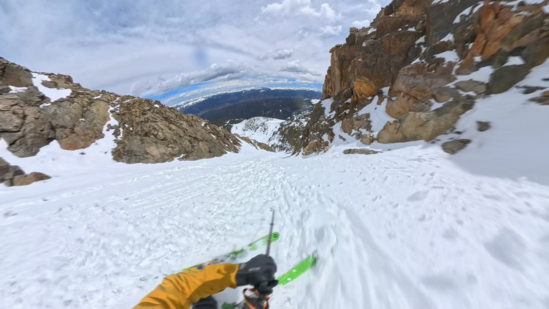
Back the shelter we packed up our stuff and skied down a couloir off notch peak. I had orginally thought we needed to summit the notch sub peak, but this turned out to be wrong, the exit couloir is actually pretty close to the notch shelter. A more direct approach might even be to boot up that rather than go all the way around on the trail.
we skied out by veering somewhat skiers left until we hit the fall river trail which we followed back to the trailhead and headed back to the bikes. Another fun sufferfest on the cross! I can't wait for next year.

 bike load out")
 always bring bike shorts")
 bike descent")
 bowl of tears")
 djibi outi")
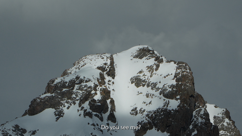
 can you see me")
")
 fall river trail")
 windy above treelike")
 looking back after exiting the bowl")
 the shelter door was blown open")
 20lbs of camera gear plus overnight bag")
 first real turn")
 the full line")
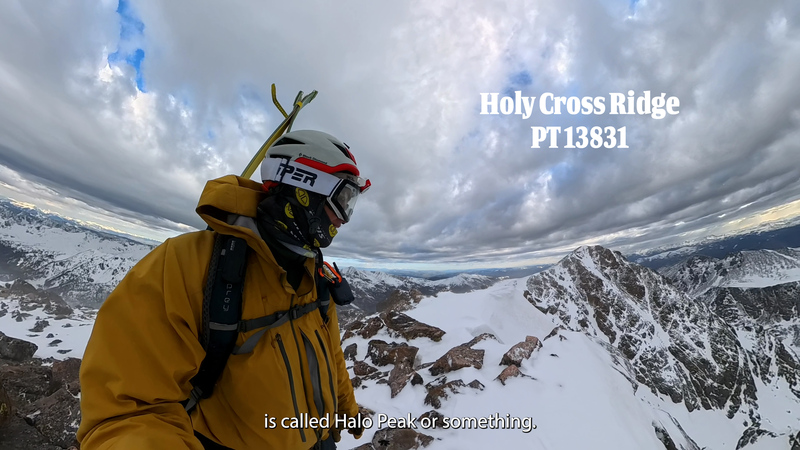
 halo ridge highpoint")
 inside the shelter")
 looking down into the line")
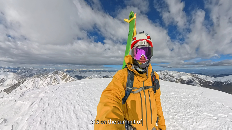
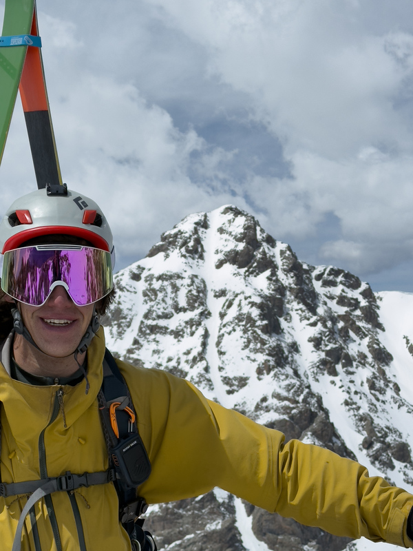
 summiit selfie")
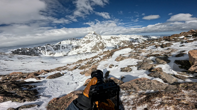
 oscars film setup")
 the full line")
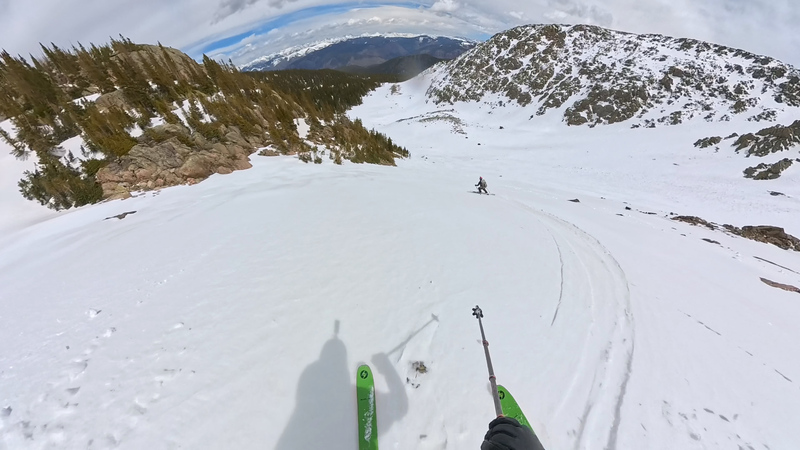
 POV in the cross")
 racing the sluff")
 notch exit")
 skiing off notch")
 toping out on bowl of tears exit")
 windy morning ridge walk")
 windy mornign ridge walk")
 sunrise on the cross")
 spooky clouds")
 the full line")
 looking at the tundra section on halo ridge")
 long exposure in the morning")
 cool ski shot")
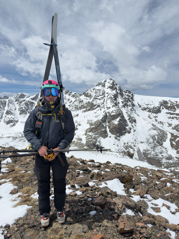
 me infront of cross from top of the notch")
 the shelter")
 oscar")
 bowl of tears exits")


