Download Agreement, Release, and Acknowledgement of Risk:
You (the person requesting this file download) fully understand mountain climbing ("Activity") involves risks and dangers of serious bodily injury, including permanent disability, paralysis, and death ("Risks") and you fully accept and assume all such risks and all responsibility for losses, costs, and damages you incur as a result of your participation in this Activity.
You acknowledge that information in the file you have chosen to download may not be accurate and may contain errors. You agree to assume all risks when using this information and agree to release and discharge 14ers.com, 14ers Inc. and the author(s) of such information (collectively, the "Released Parties").
You hereby discharge the Released Parties from all damages, actions, claims and liabilities of any nature, specifically including, but not limited to, damages, actions, claims and liabilities arising from or related to the negligence of the Released Parties. You further agree to indemnify, hold harmless and defend 14ers.com, 14ers Inc. and each of the other Released Parties from and against any loss, damage, liability and expense, including costs and attorney fees, incurred by 14ers.com, 14ers Inc. or any of the other Released Parties as a result of you using information provided on the 14ers.com or 14ers Inc. websites.
You have read this agreement, fully understand its terms and intend it to be a complete and unconditional release of all liability to the greatest extent allowed by law and agree that if any portion of this agreement is held to be invalid the balance, notwithstanding, shall continue in full force and effect.
By clicking "OK" you agree to these terms. If you DO NOT agree, click "Cancel"...
Route: East Slopes, Helen-Father Dyer-Crystal Traverse, Northeast Ridge
Mileage: 8.5 mi
Vertical: 3900 ft
Time: 10 hrs
Partners: Owen
Yup, it's that time of year again. Owen and I have so far every year decided to make ourselves miserable and climb some alpine rock and snow in the dead of winter. After the arctic cold snap (and my most miserable days ski patrolling), it was nice to have a solid weather window. We drove up from Silverthorne and were at the trailhead at 6:30.
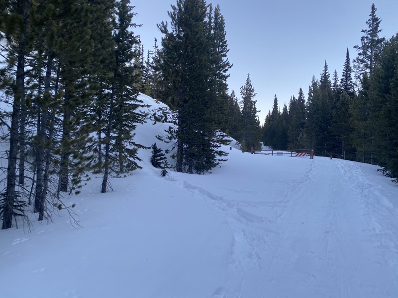
Owen and I neglected to bring flotation for the route, since we were planning on a lot of mixed climbing and didn't want skis or snowshoes strapped to our backs. The avalanche conditions didn't exactly permit a ski off of Crystal either, so we ended up deciding to boot the whole thing. Since CR 800 was well packed in from the traffic to Francie's Cabin, it was easy going to the summer TH.
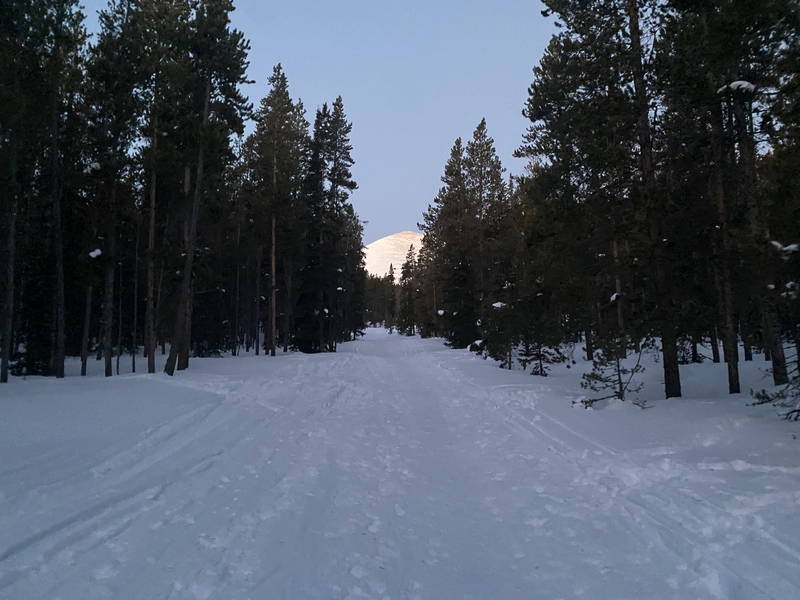
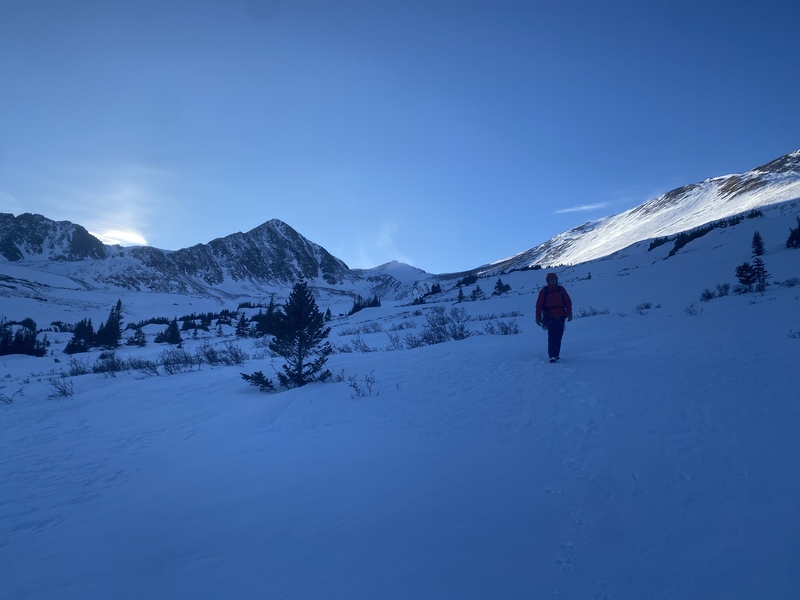
Mt. Helen and the easy East Slope was visible for the entire walk up.
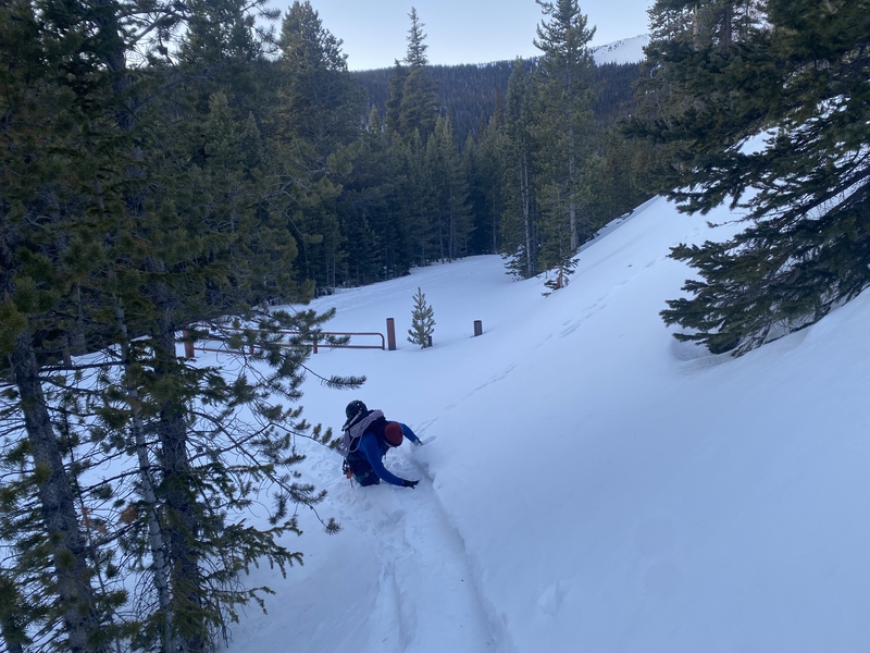
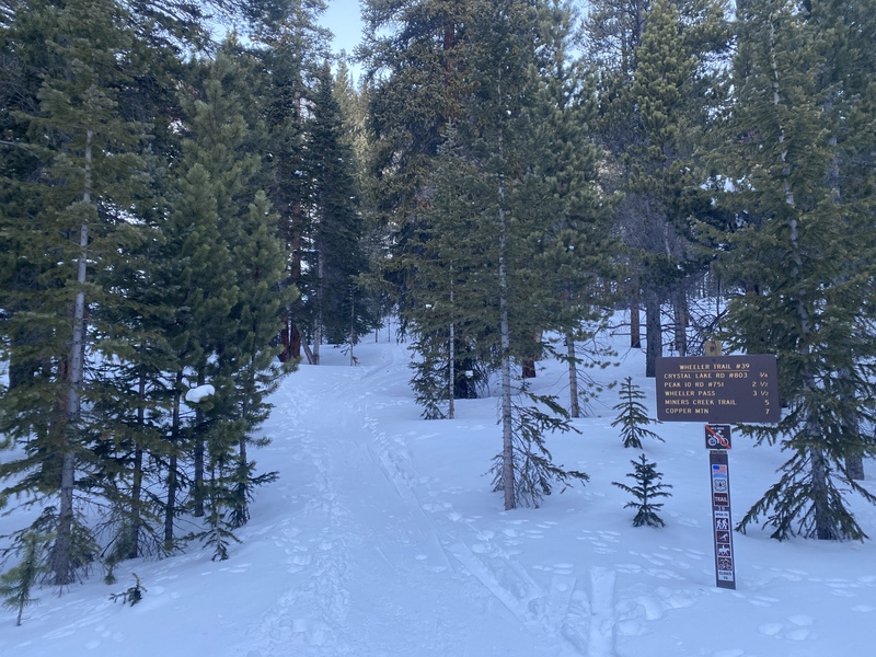
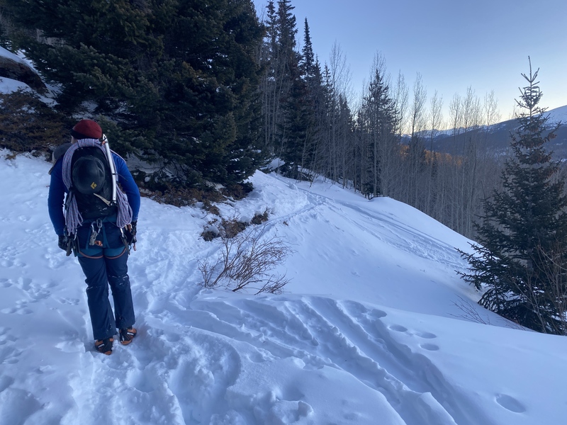
Quickly after the split in the road north we saw a skintrack headed up Helen. Without flotation, we postholed up to our waists within seconds of leaving the road. Deciding that this was a little too miserable for our taste, we backtracked to the road and headed up a bit more north, to the Wheeler Trail junction. There was another skintrack here headed the direction we wanted, so we decided to take it. It was still postholey, but more manageable.
The first skintrack we tried following.Deep and unconsolidated.We should have just come to the trail junction.This is more like it.
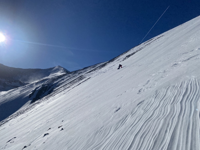
There was still quite a bit of wallowing, passing the old mine on the way up. Following the skintrack, we eventually made it to treeline, where the snow was a lot more hard packed and bootable. Now feeling like spring conditions, we put on our crampons and headed straight up the casual East Slope.
This is the mountaineering we came for. No more postholing.
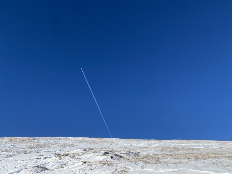
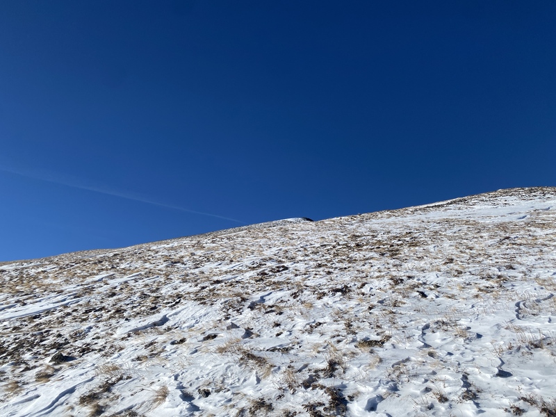
The East Slope seemed to go on forever, and the perspective was hard to grasp. The slope seemed to go on forever in a straight plane, and it was impossible to even conceive of where the summit was until we were practically right on it.
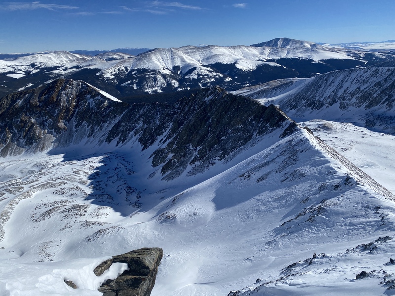
Kansas, but on a tilt towards the sky.Nearing the summit, we could see the Crystal Creek drainage and the peaks that lie ahead.Finally, the summit was in sight.
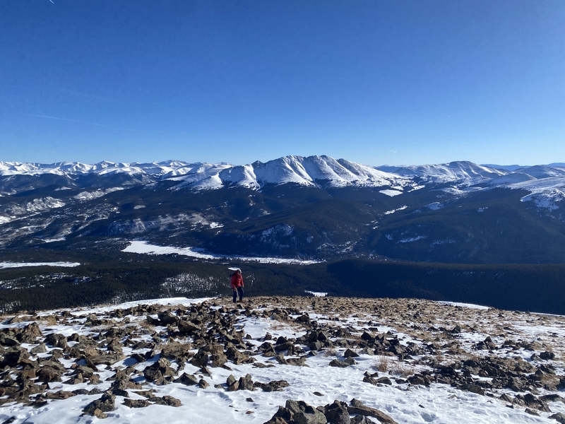
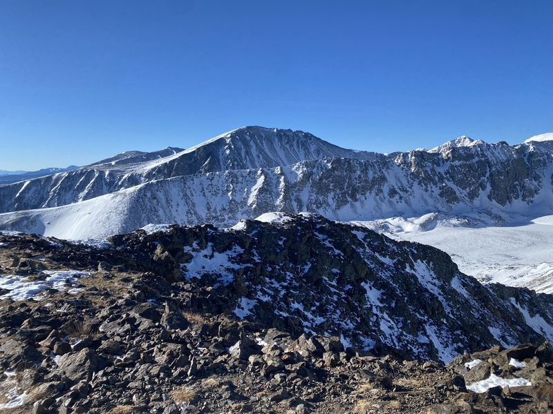
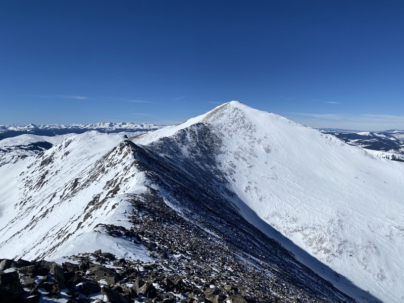
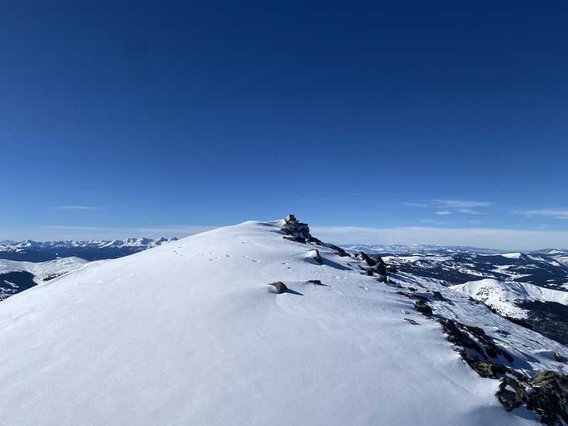
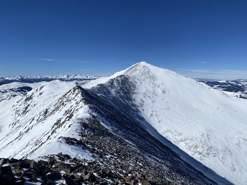
We opted to keep our crampons on for the grassy slopes above. We mostly just didn't feel like transitioning them off our boots, since we knew we'd be keeping them on for the mixed Class 4 ridge to Father Dyer. It started to get a bit more breezy towards the summit of Helen, which was a welcome change from the hot spring conditions thus far. Making the summit, we could see the route ahead.
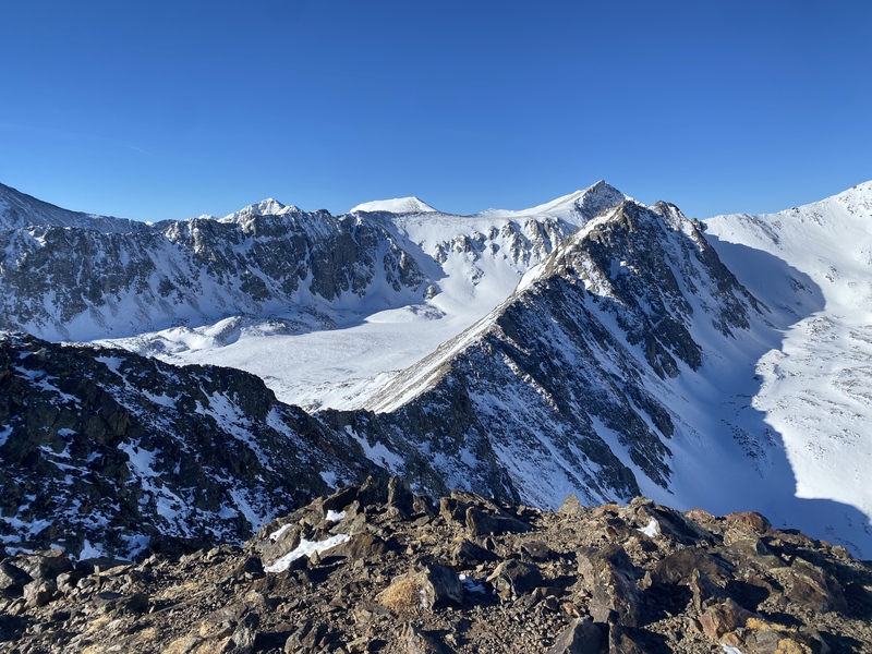
Summit number one.Looking towards Quandary.The route to Father Dyer.Father Dyer and Crystal behind it.
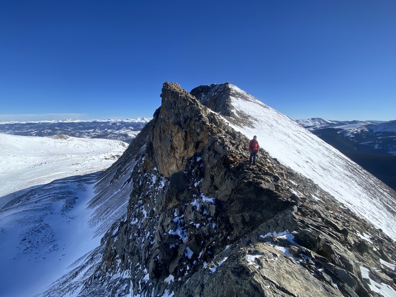
From here, we followed the ridge down to the saddle, which was snowy Class 2. Pretty quickly after the saddle, the difficulty ramped up to Class 3, and then Class 4. There was a steep drop off into the Crystal Creek drainage on the climber's right side, but the south side of the ridge made it easy to bypass anything we didn't want to climb.
Class 2 down to the saddle.Huge cliffs, easily bypassed on top of the ridge or slightly to the south (climber's left).The first of the Class 3.Owen overcoming the first difficulty.
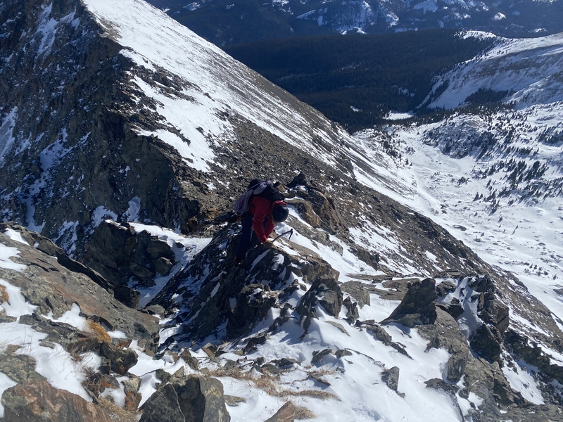
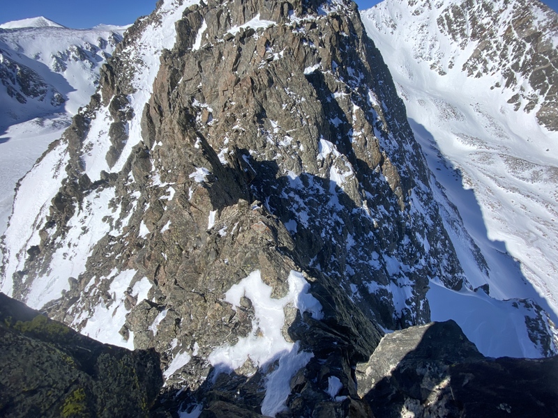
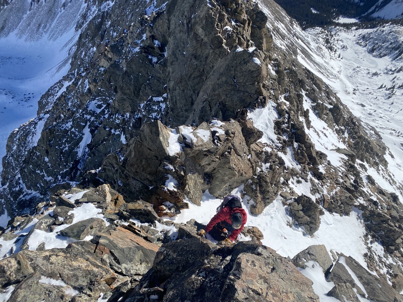
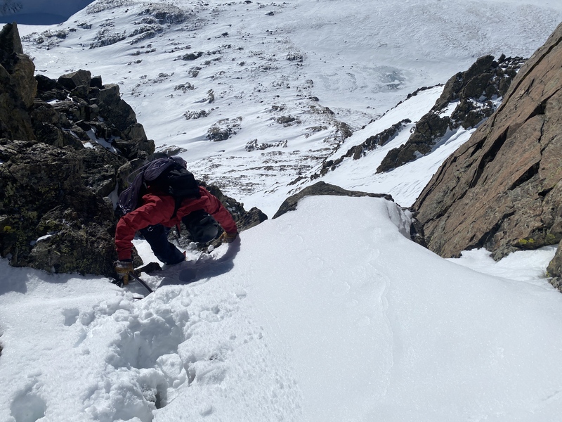
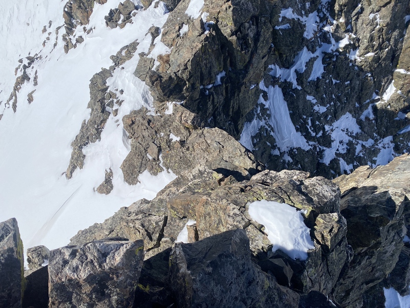
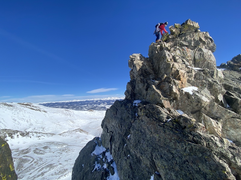
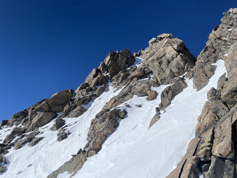
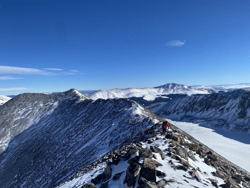
There were two or three real cruxes to the ridge: one Class 4 headwall, then one Class 4 wraparound under a boulder in a notch, and a Class 4 downclimb from one of the high points on the ridge. All in all, the difficulty was mostly in routefinding and exposure. The climbing wasn't ridiculously hard, if you picked a good line. The final crux downclimb from a high point took us a minute to pick out, as it seemed that no matter where we went it was going to be Class 5. Luckily for us, ridge proper didn't seem to be the wrong choice until just after this difficulty, where a large headwall lay looming with a snow gully on the climber's left side.
Exposed climbing along the ridge.Climbing down into a prominent notch.Owen climbing down and around a boulder in the notch.Owen climbing up a steep headwall in the ridge.Some exposed snow climbing.A look down the final Class 4 difficulty. This was off a high point in the ridge.Owen and some air below him off this crux.The headwall we avoided directly after by staying left and sticking to the snow.The snow back up to the ridge. Owen was feeling the weight of the rope on his pack, surely.
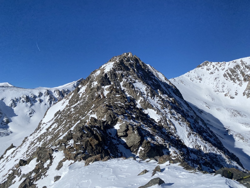
Back on top of the ridge now, we could see the remainder up to Father Dyer Pk. There was quite a bit of ridgetop Class 3 left, and then a snowy ridge walk up to the next summit. We had brought a rope and a light rack of pitons and nuts, but we didn't end up taking any of it out of our packs. For those less inclined to exposure, there was opportunity to rope up along what we had already done.
The remainder of the route up to Father Dyer.More exposed Class 3.No more rock, just thin snow.
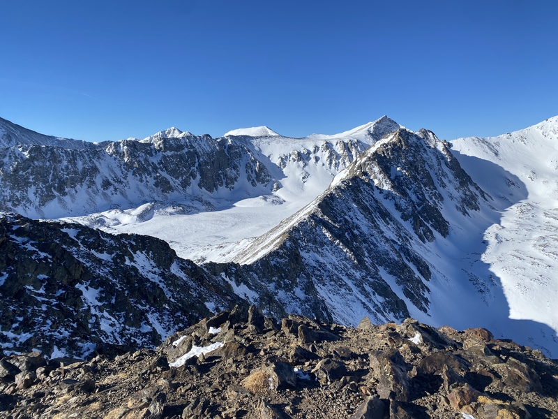
At the next summit now, we weren't exactly thrilled at how far away Crystal appeared to be. The remaining ridge would be Class 2, but our energy was dwindling from the hard ridge before. We set off at a slower pace to reach our high point of the day.
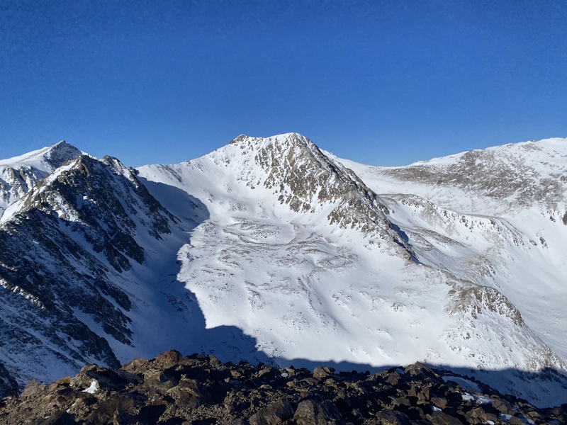
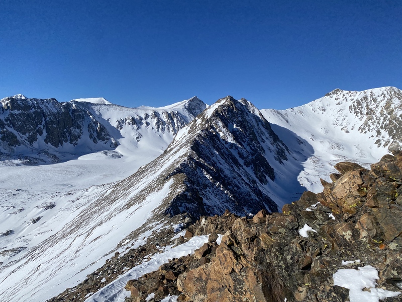
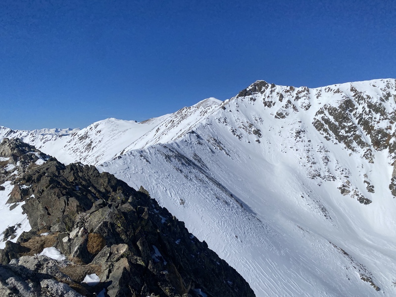
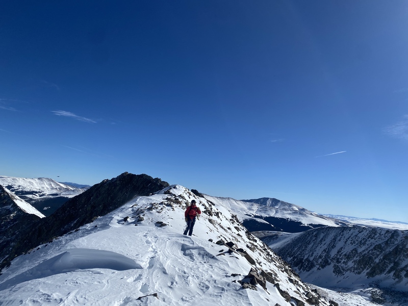
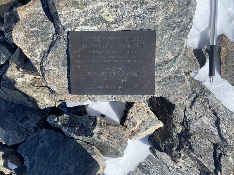
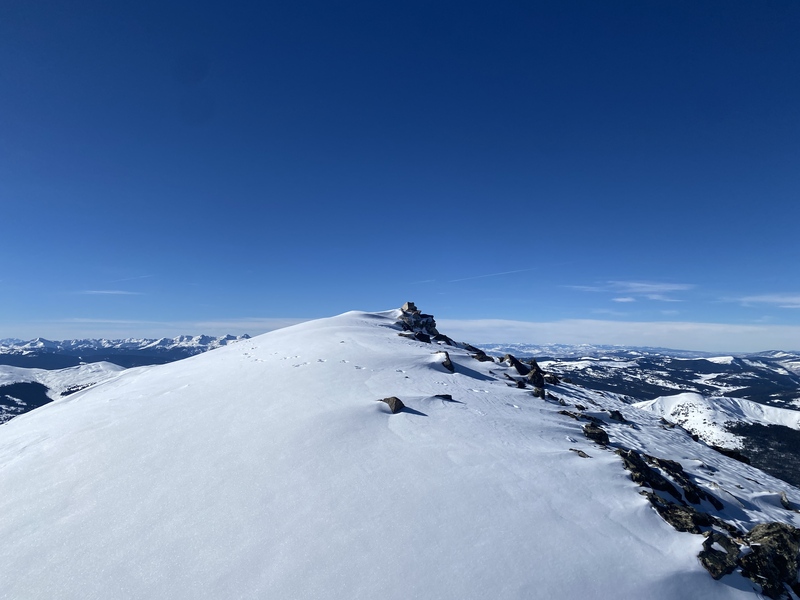
Summit placard on Father Dyer Pk.The ridge to Crystal.Looking back towards Helen from Father Dyer. The ridge looks pretty intense from this vantage.The ridge from Father Dyer to Crystal.Our final summit of the day with the Gore and Sawatch behind.
We were pretty pooped by the time we made it up Crystal, but at least the day was nearly over. Of course, we still had about half the mileage left to go, but at least it was all downhill. We took a minute on top before heading down the NE ridge to the Wheeler Trail. We saw a mountain goat at the saddle with Peak 10, which conveniently was right where the Wheeler Trail started to bring us back down into the Crystal Creek drainage.
Wind hammered snow on the Wheeler Trail was maybe the most difficult thing we had to deal with all day.
Along the trail down, there were spots where the snow was so hard that booting across it was somewhat dangerous. We pulled our ice axes back out, but without crampons it was desperate. This happened three times on our way down to Crystal Creek. We glissaded the final portion down to the lake, and followed an old snowshoe trail across the flats to Francie's Cabin. From here, we went right up to the cabin (sorry to the folks that were living there at the time, no solitude for you), and followed the main approach trail out. We took CR 803 back to the TH, since it was packed down and easy to follow, lessening our mileage for the day by not going back to the summer TH.
Owen and the peaks we'd climbed.
The day was over for us at 17:00. An easy drive back to Silverthorne and a cool route completed.
Thumbnails for uploaded photos (click to open slideshow):
Yeah Helen is super dry. Practically summer up there with our lack of snow right now
Caution: The information contained in this report may not be accurate and should not be the only resource used in preparation for your climb. Failure to have the necessary experience, physical conditioning, supplies or equipment can result in injury or death. 14ers.com and the author(s) of this report provide no warranties, either express or implied, that the information provided is accurate or reliable. By using the information provided, you agree to indemnify and hold harmless 14ers.com and the report author(s) with respect to any claims and demands against them, including any attorney fees and expenses. Please read the 14ers.com Safety and Disclaimer pages for more information.
Copyright: Route information, text, risk factors, maps, GPX files, charts, photos, 14ers.com-created map imagery, flythroughs, and other content provided in this route description are copyrighted by 14ers.com and may not be copied, reproduced, republished, distributed, modified, or used to create derivative works without prior written permission.
Please respect private property: 14ers.com supports the rights of private landowners to determine how and by whom their land will be used. In Colorado, it is your responsibility to determine if land is private and to obtain the appropriate permission before entering the property.